


De Bischofshofen au Hochkeil
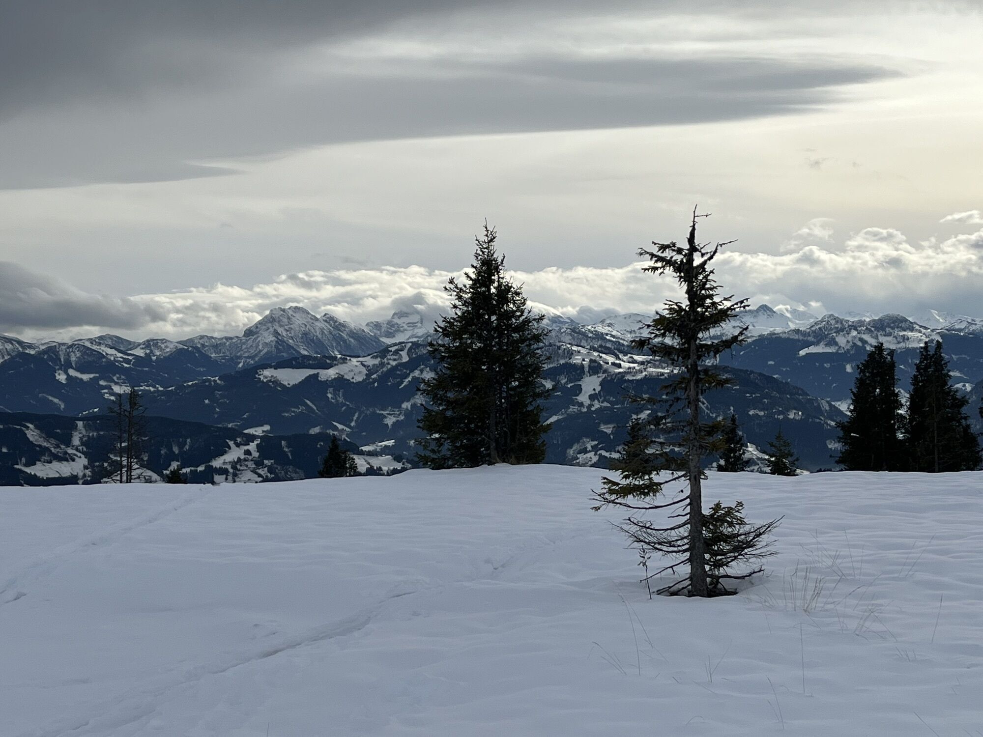
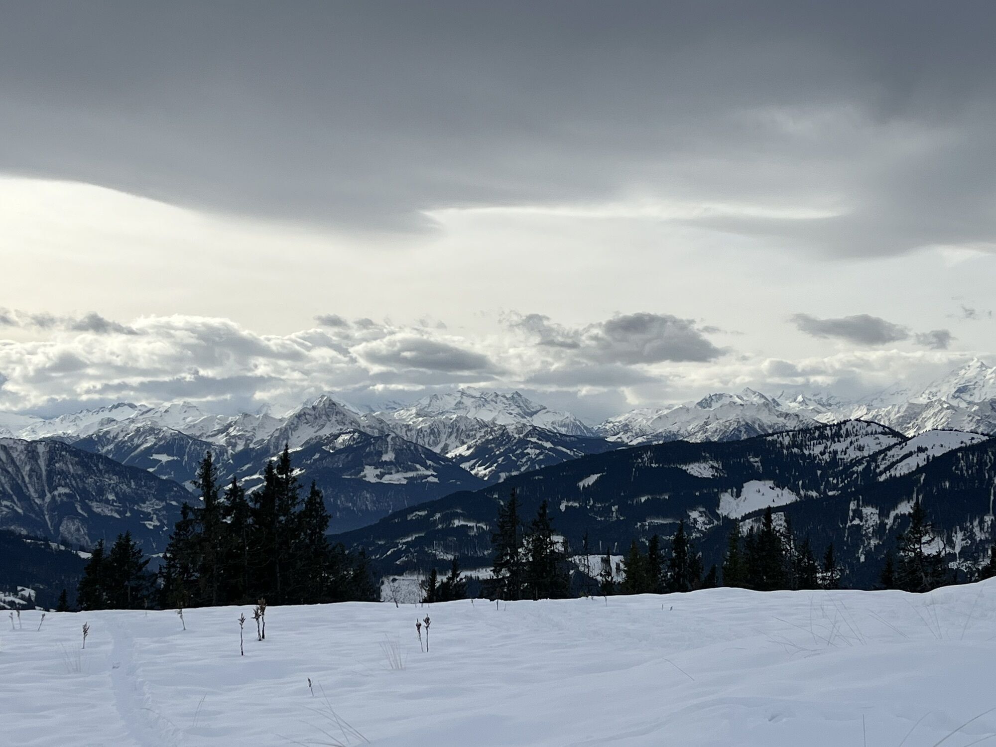
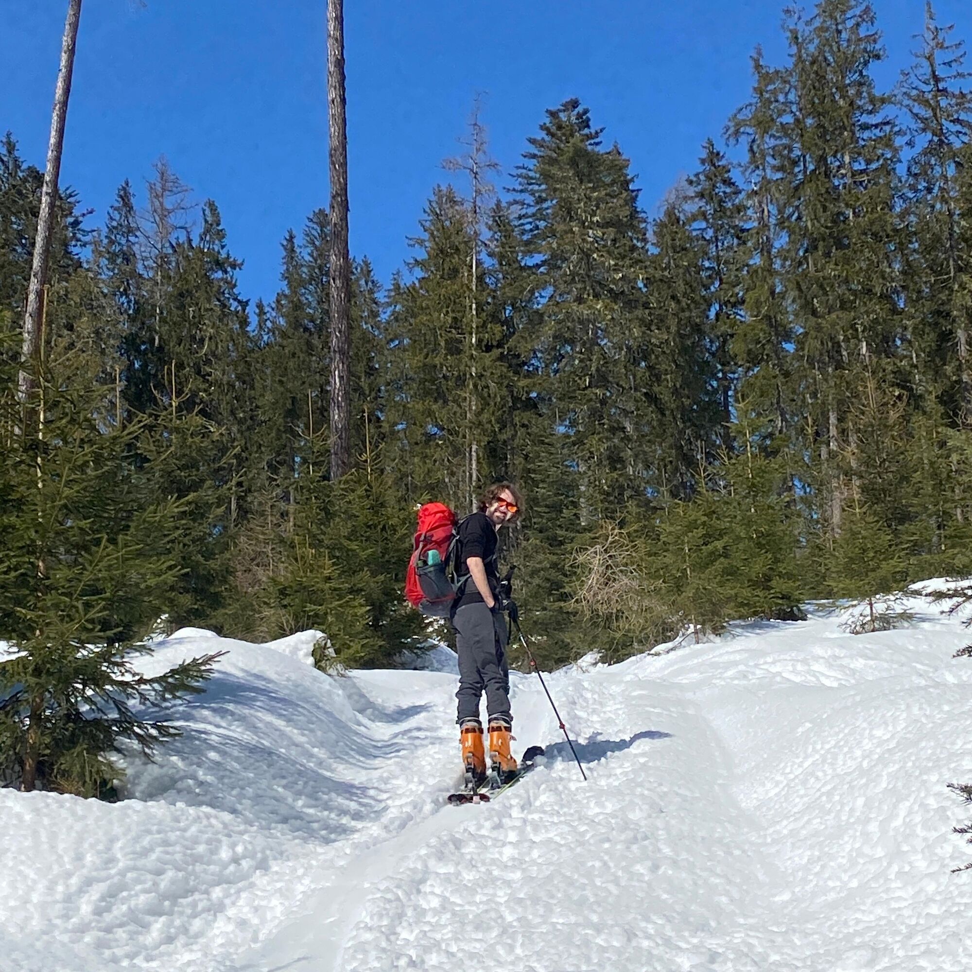
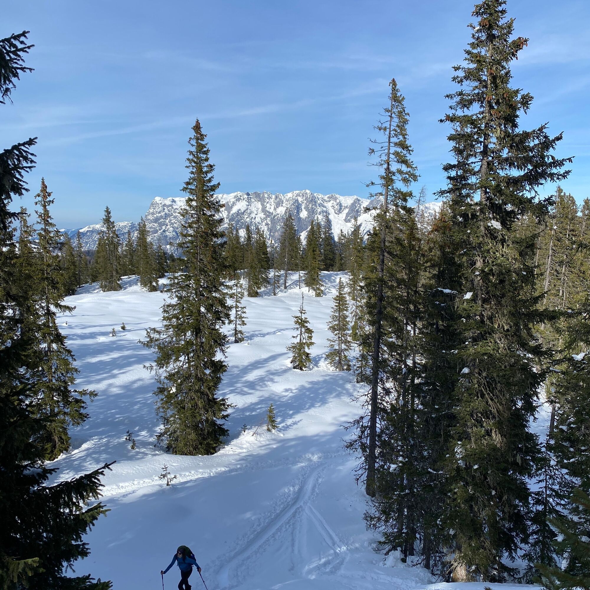
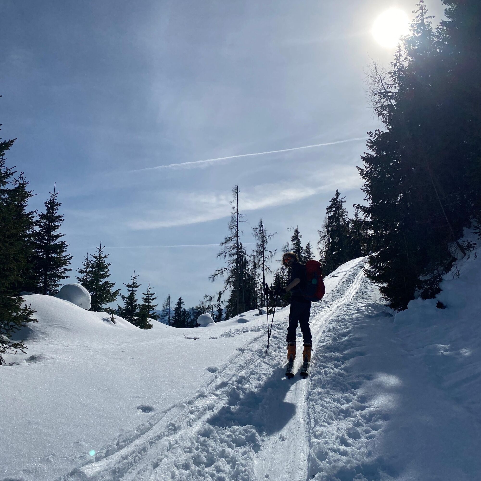
Randonnée à ski plus longue, mais facile et relativement sûre contre les avalanches, de Bischofshofen au Hochkeil. La montée est balisée et passe principalement en terrain dégagé en forêt, à l’écart des...
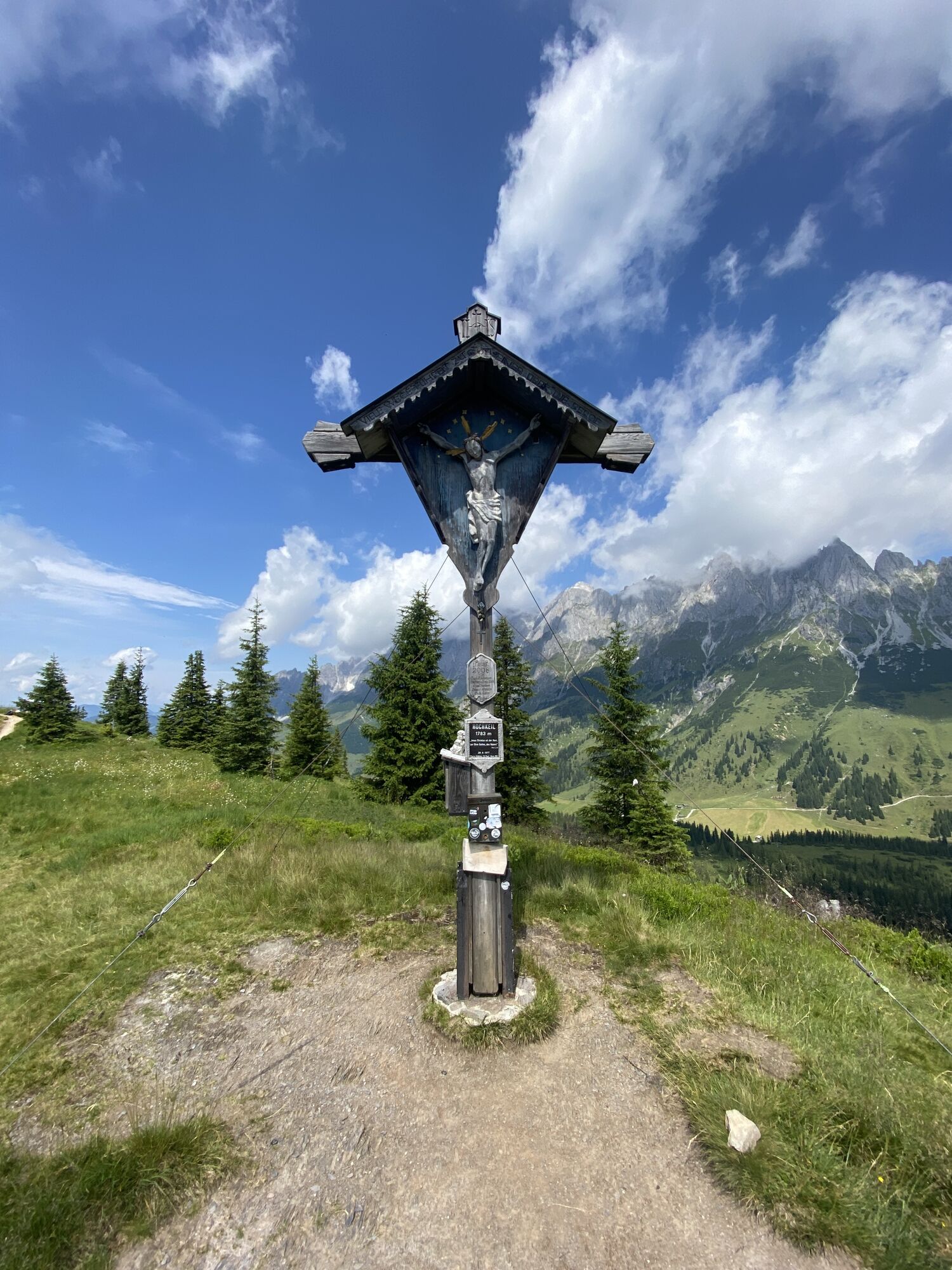
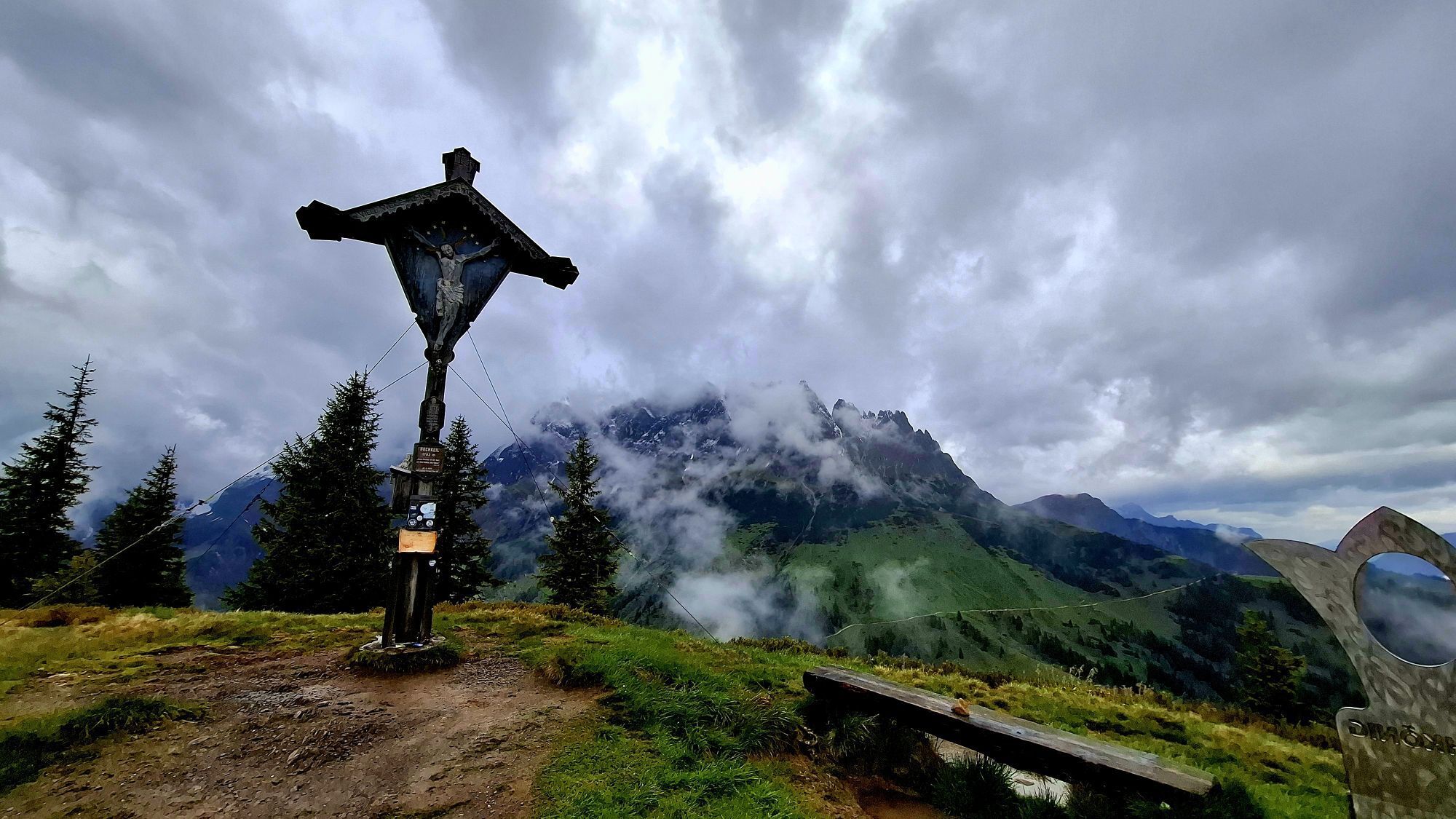
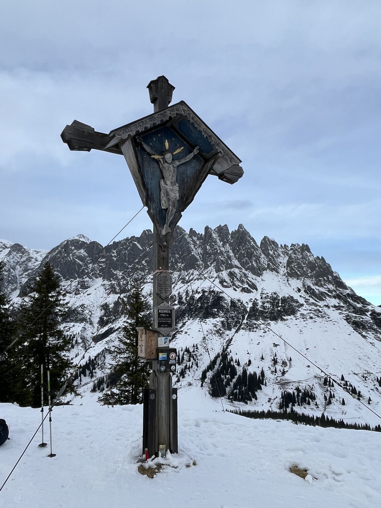
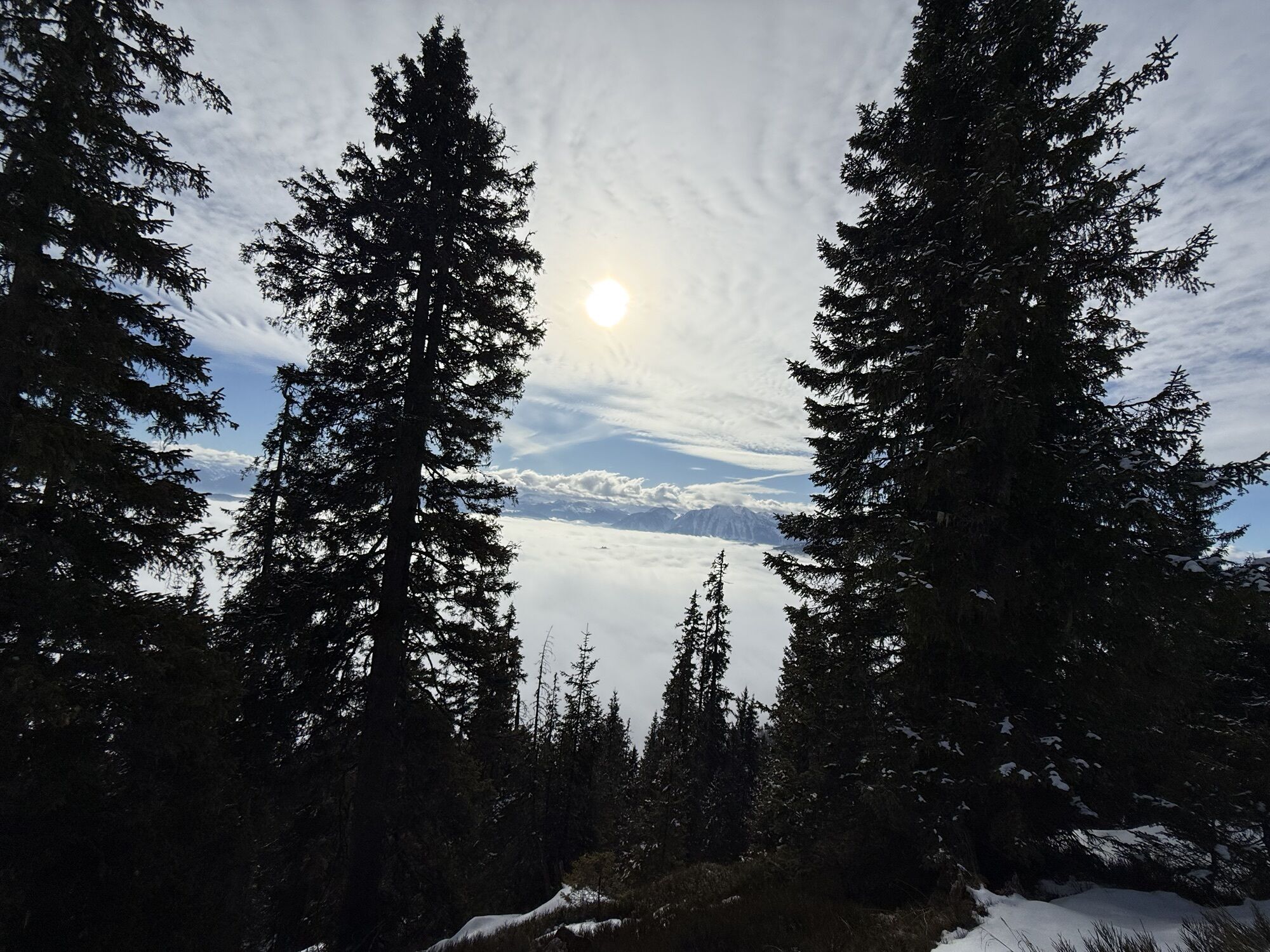
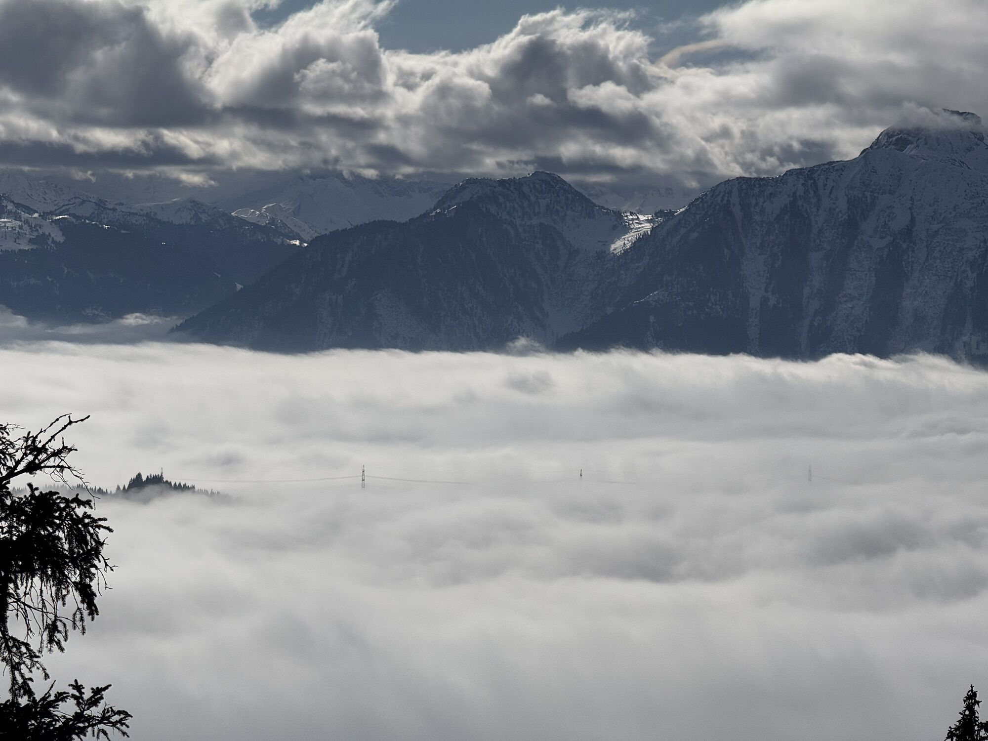
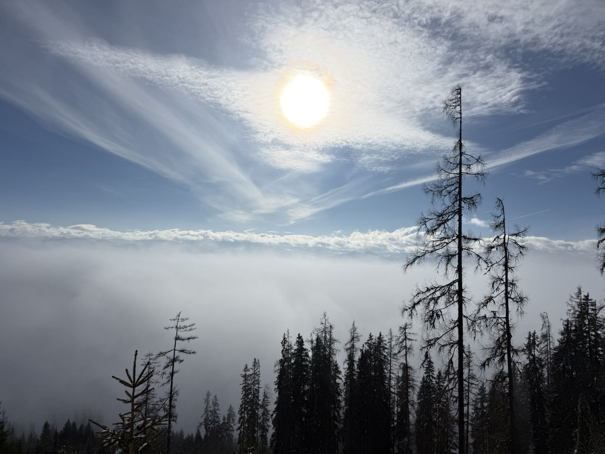
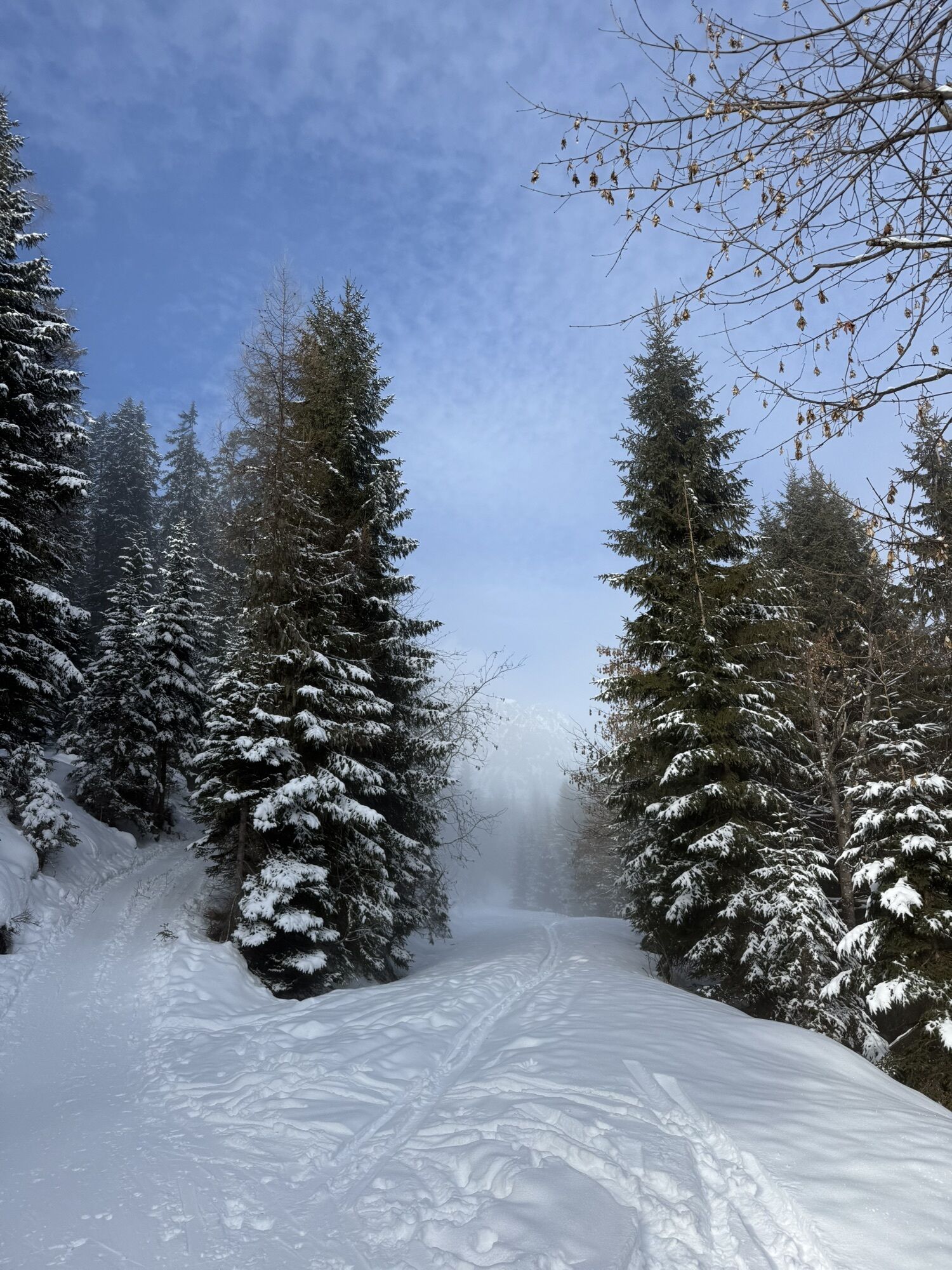
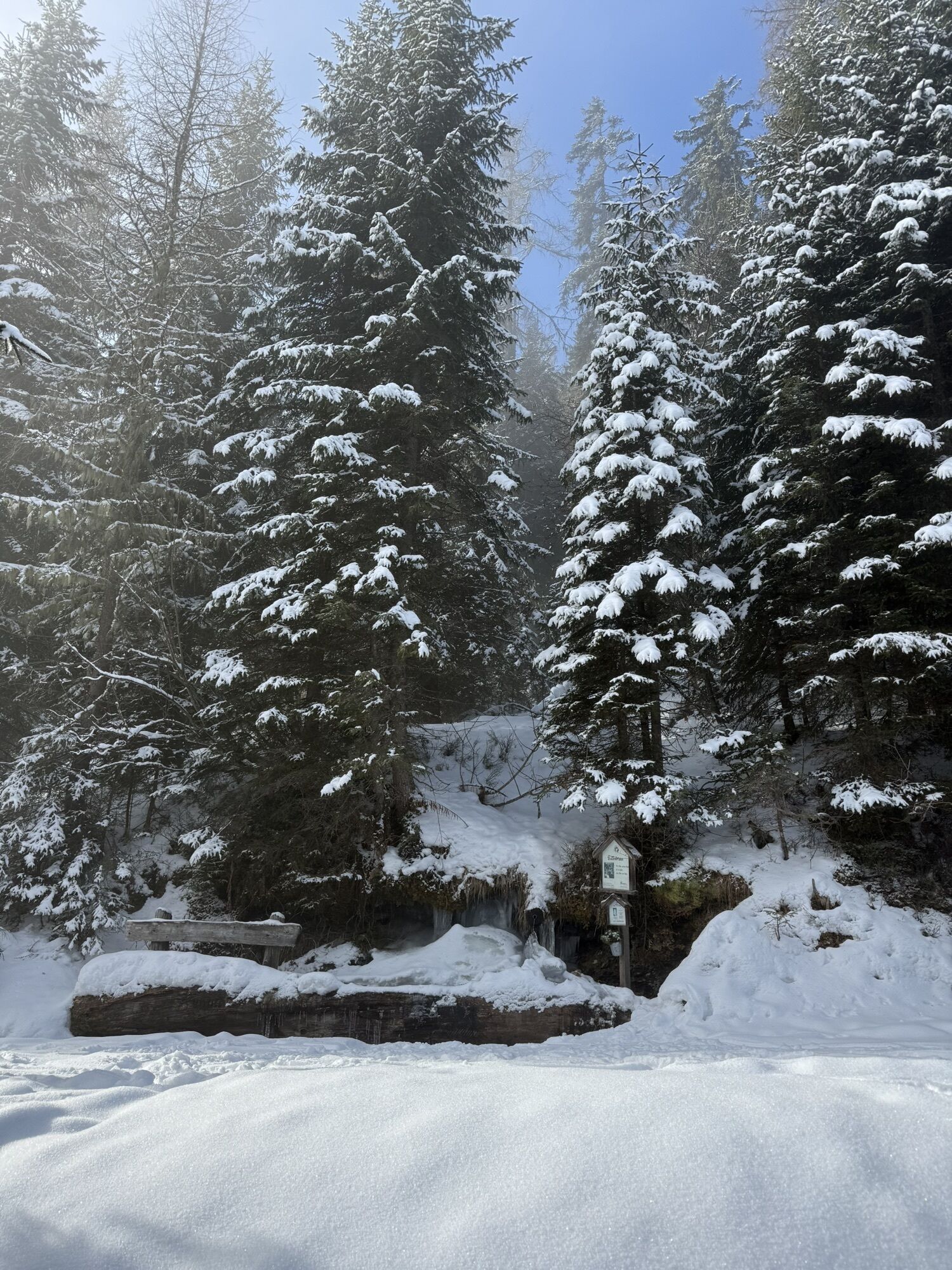
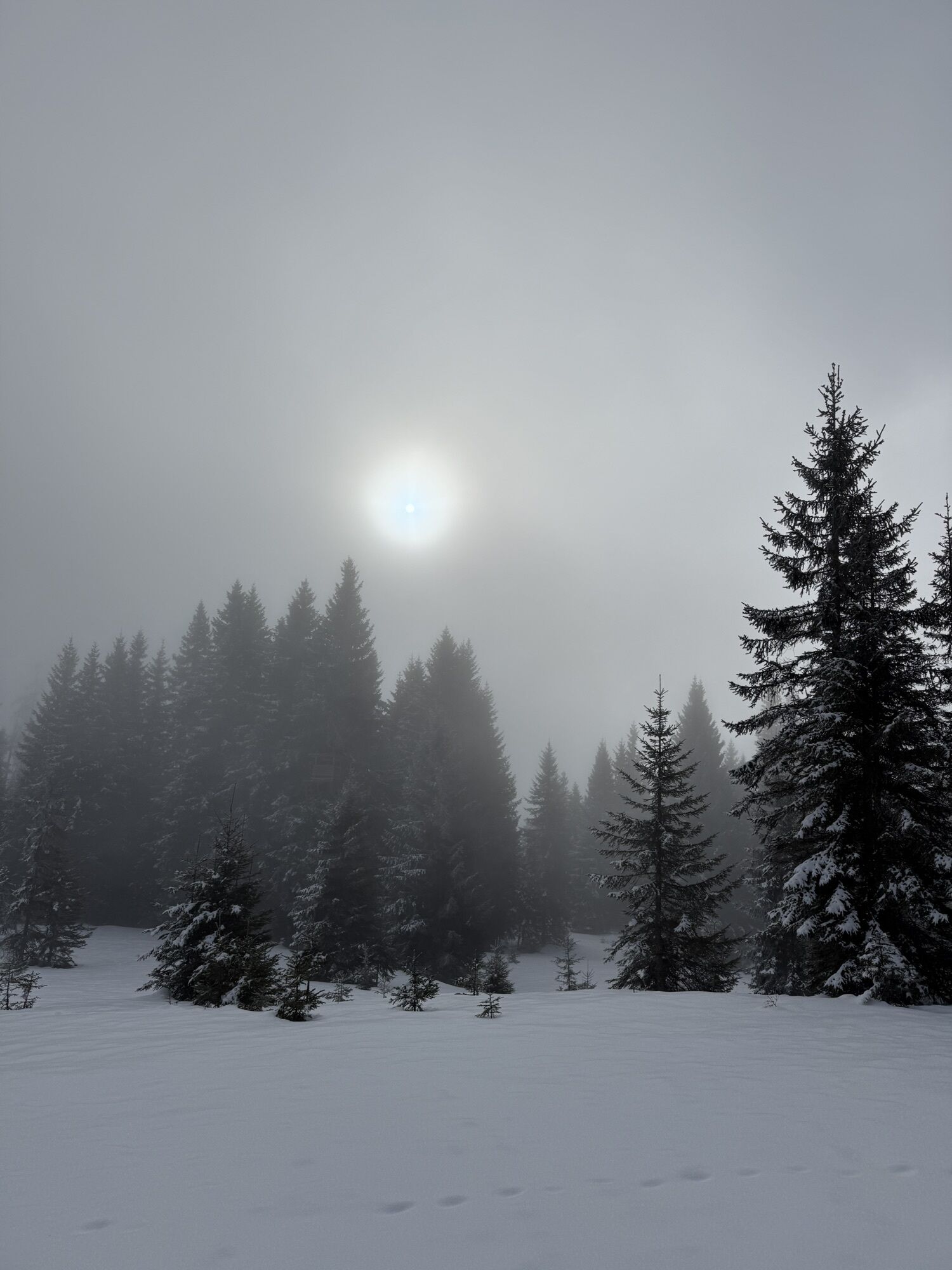
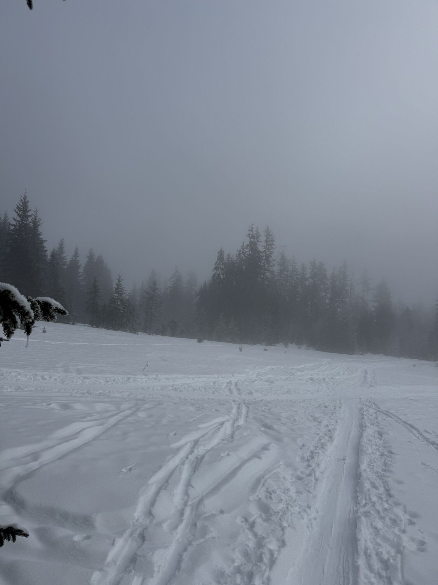
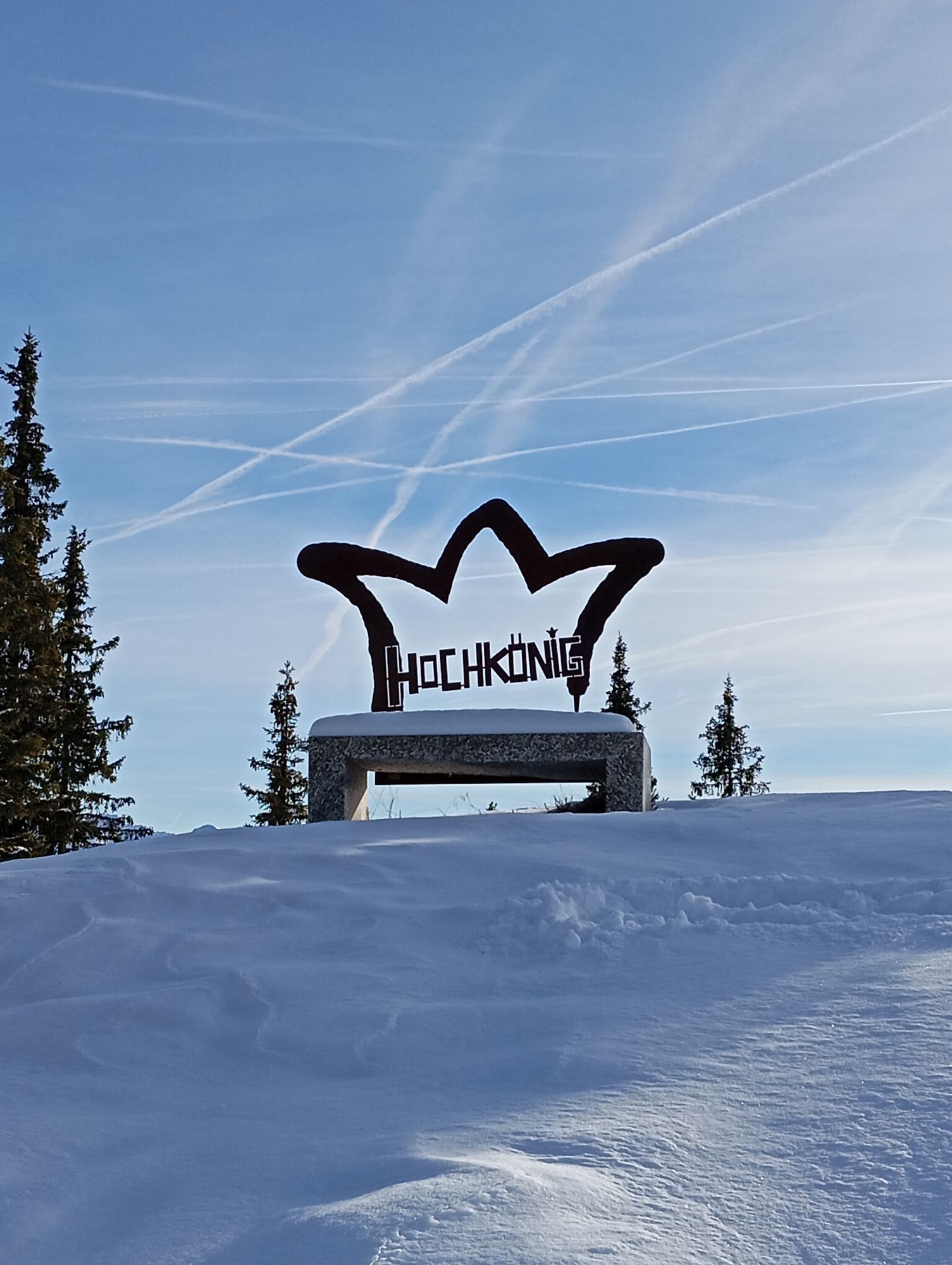
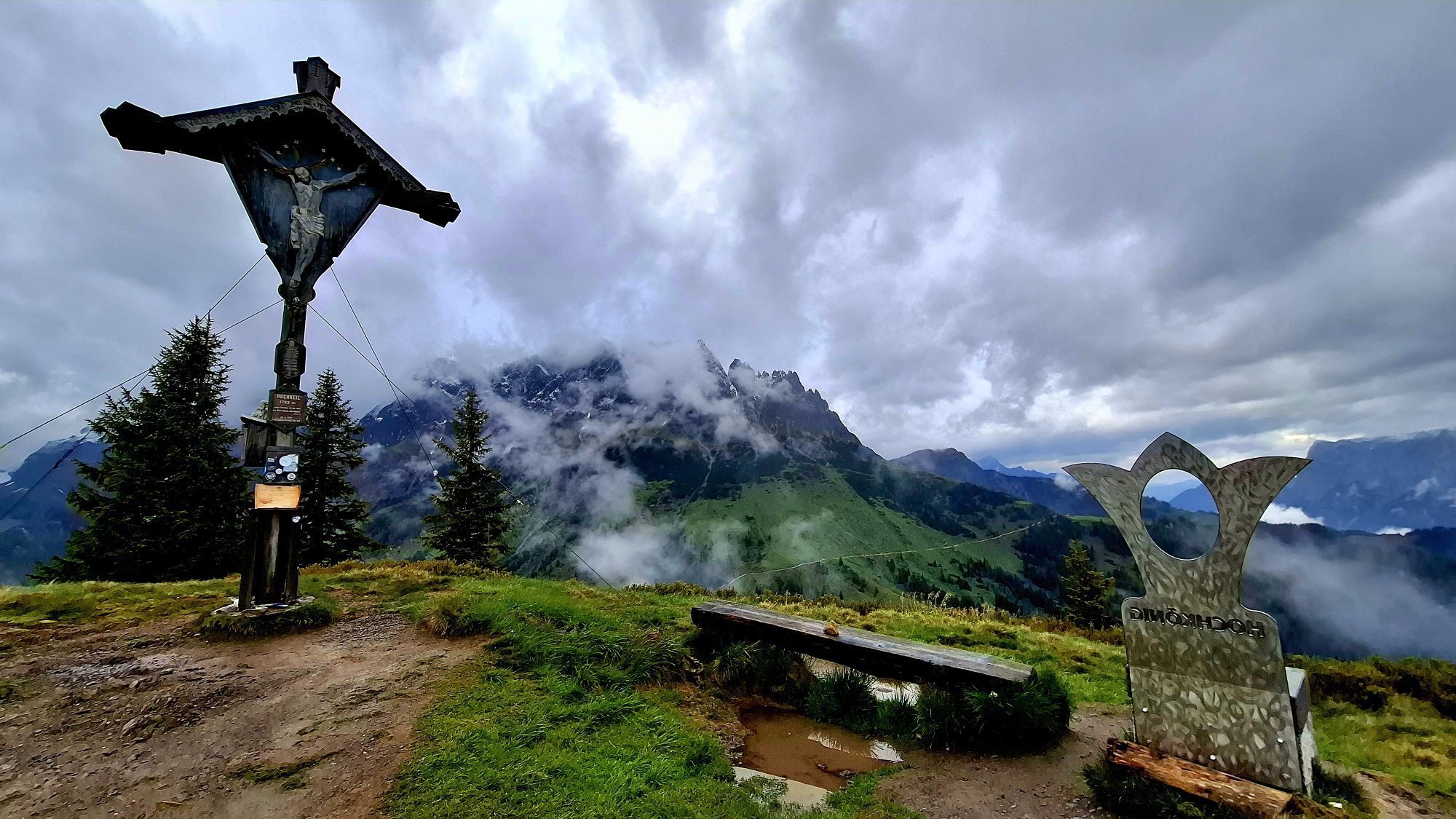
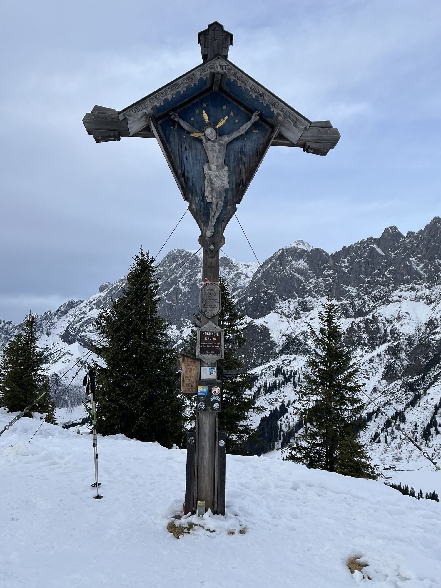
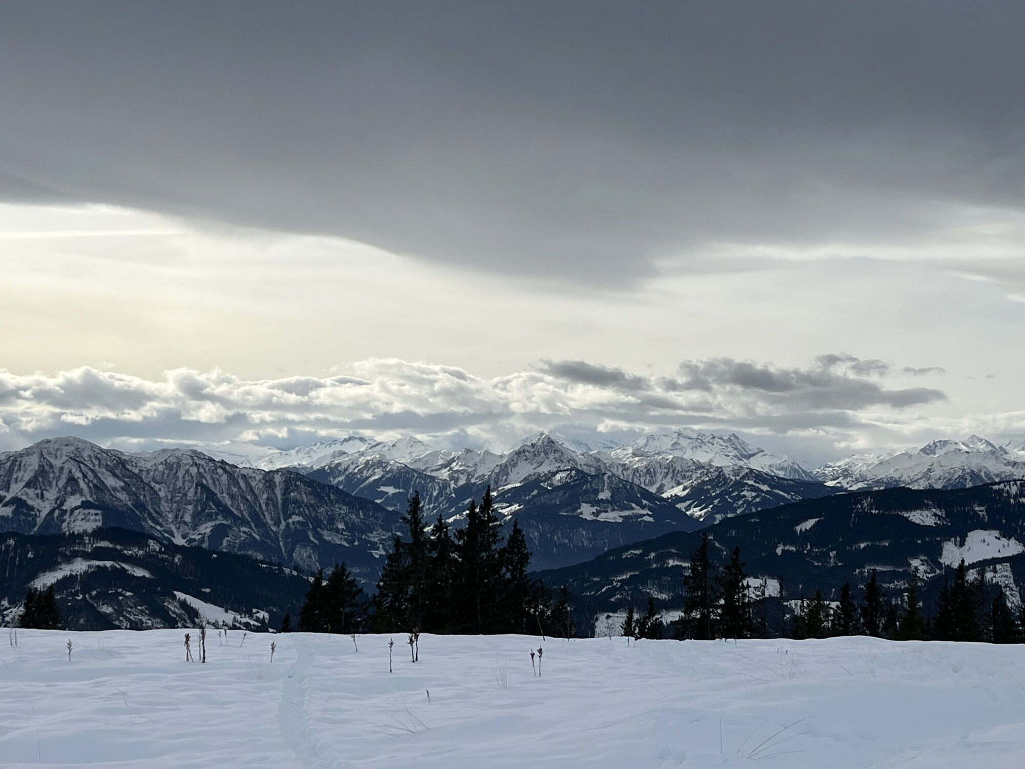
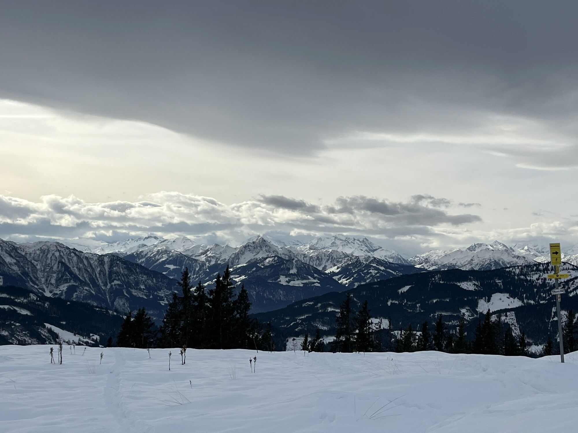
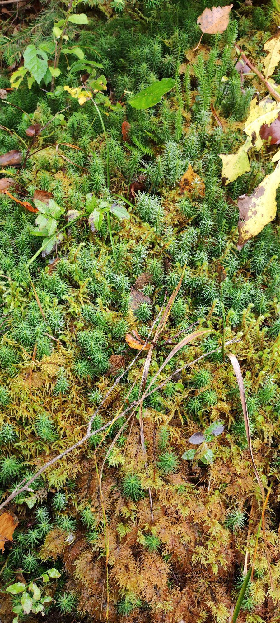
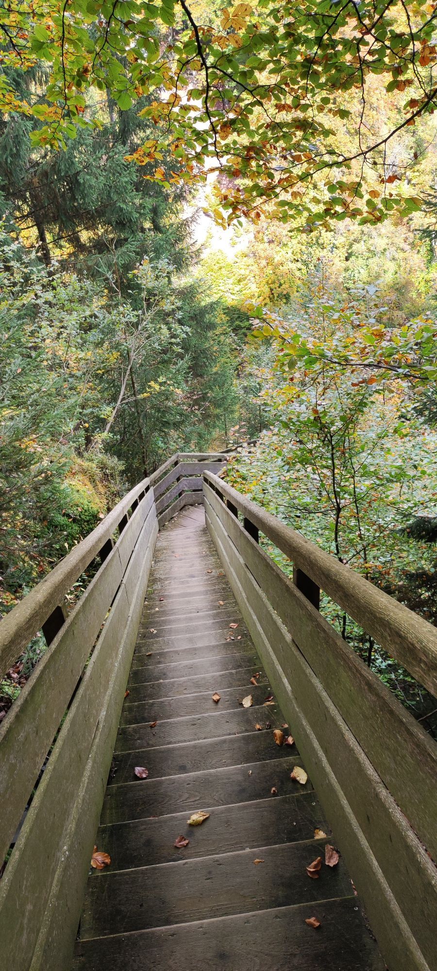
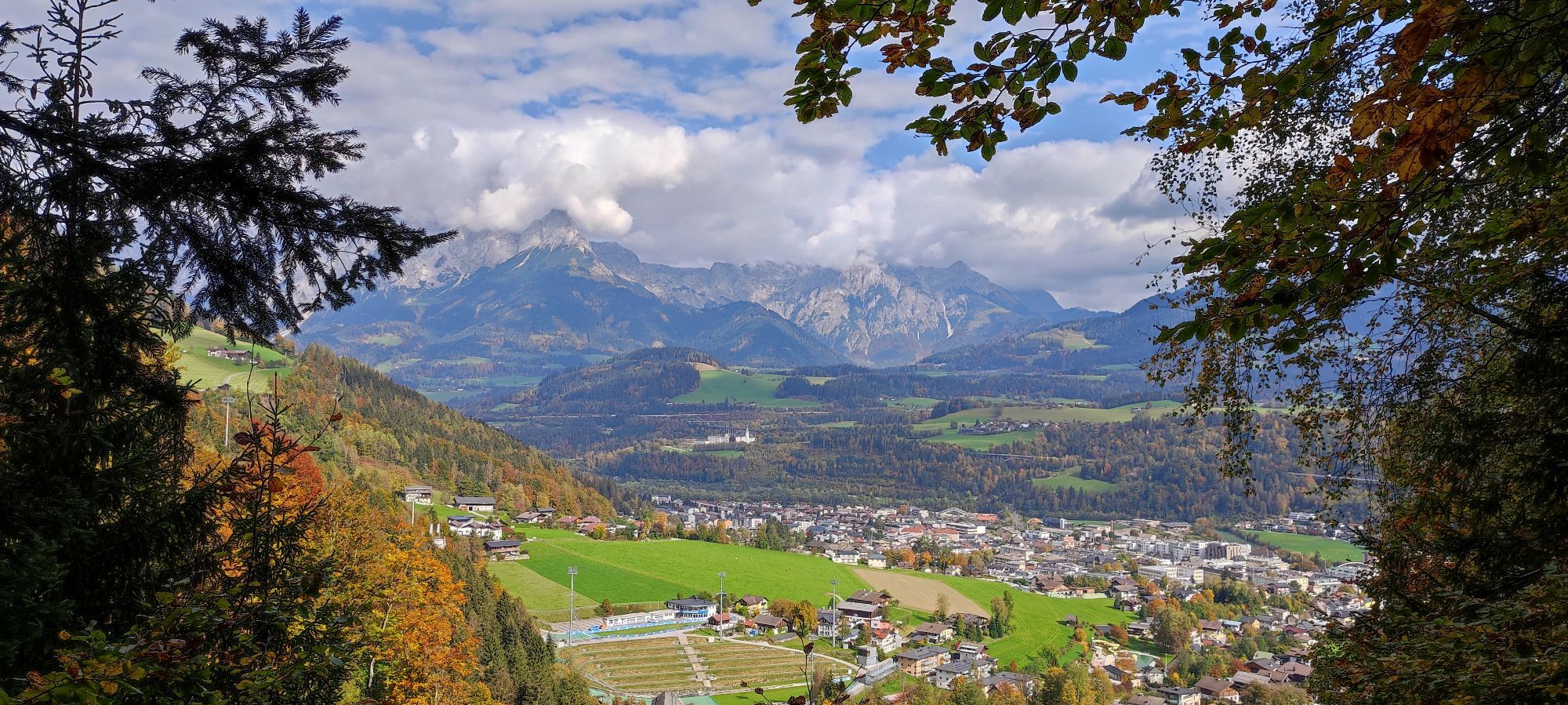
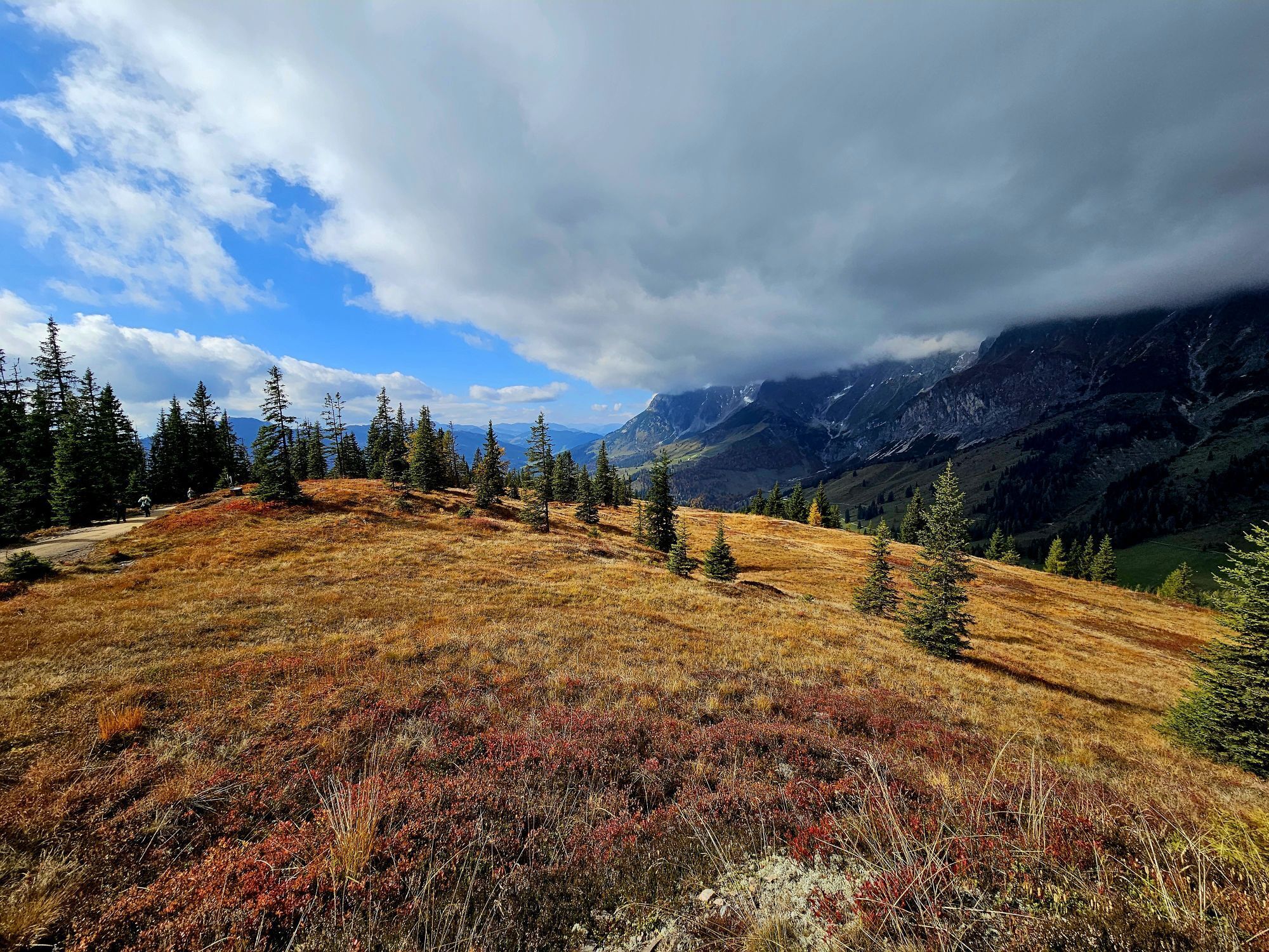
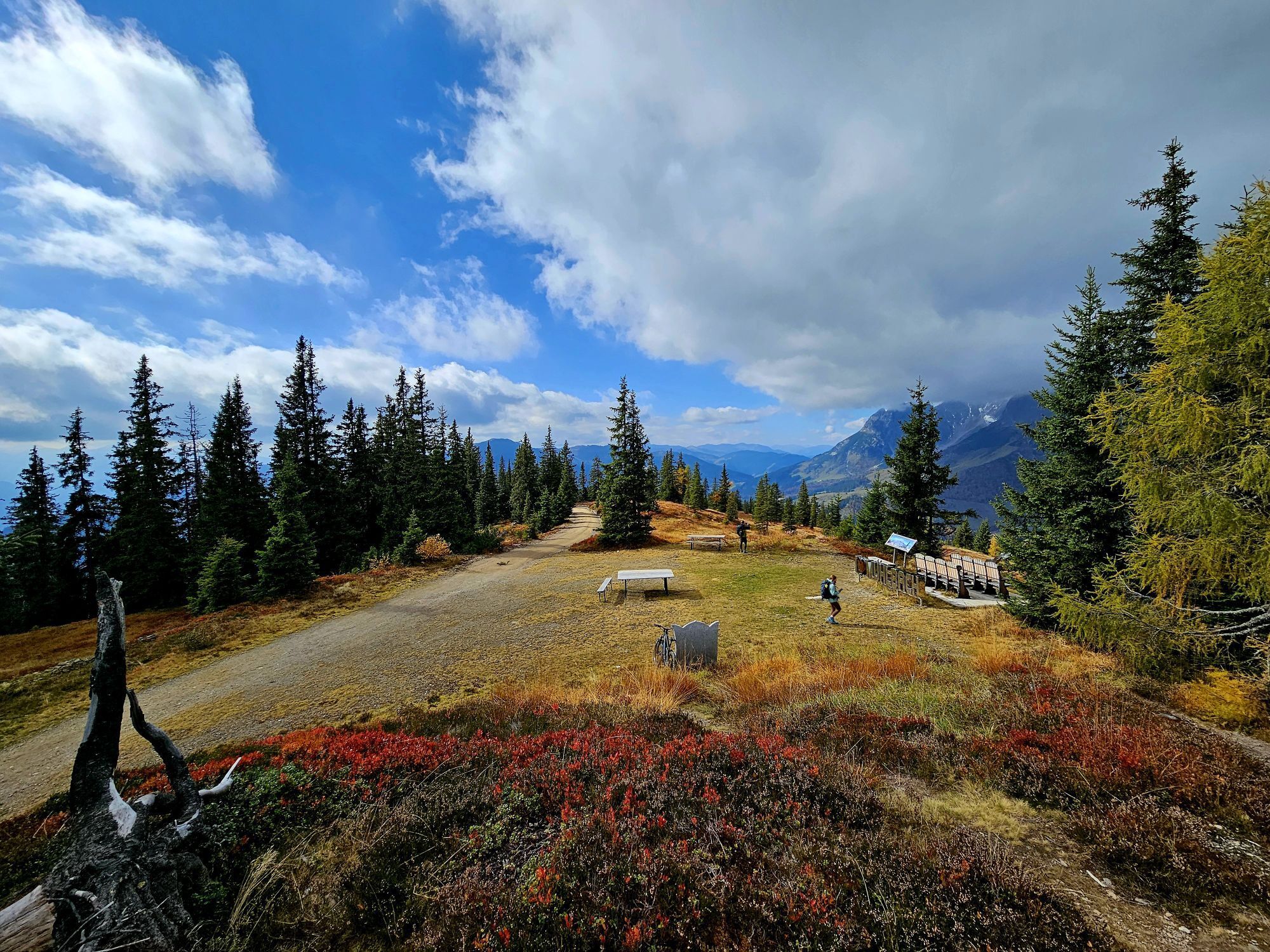
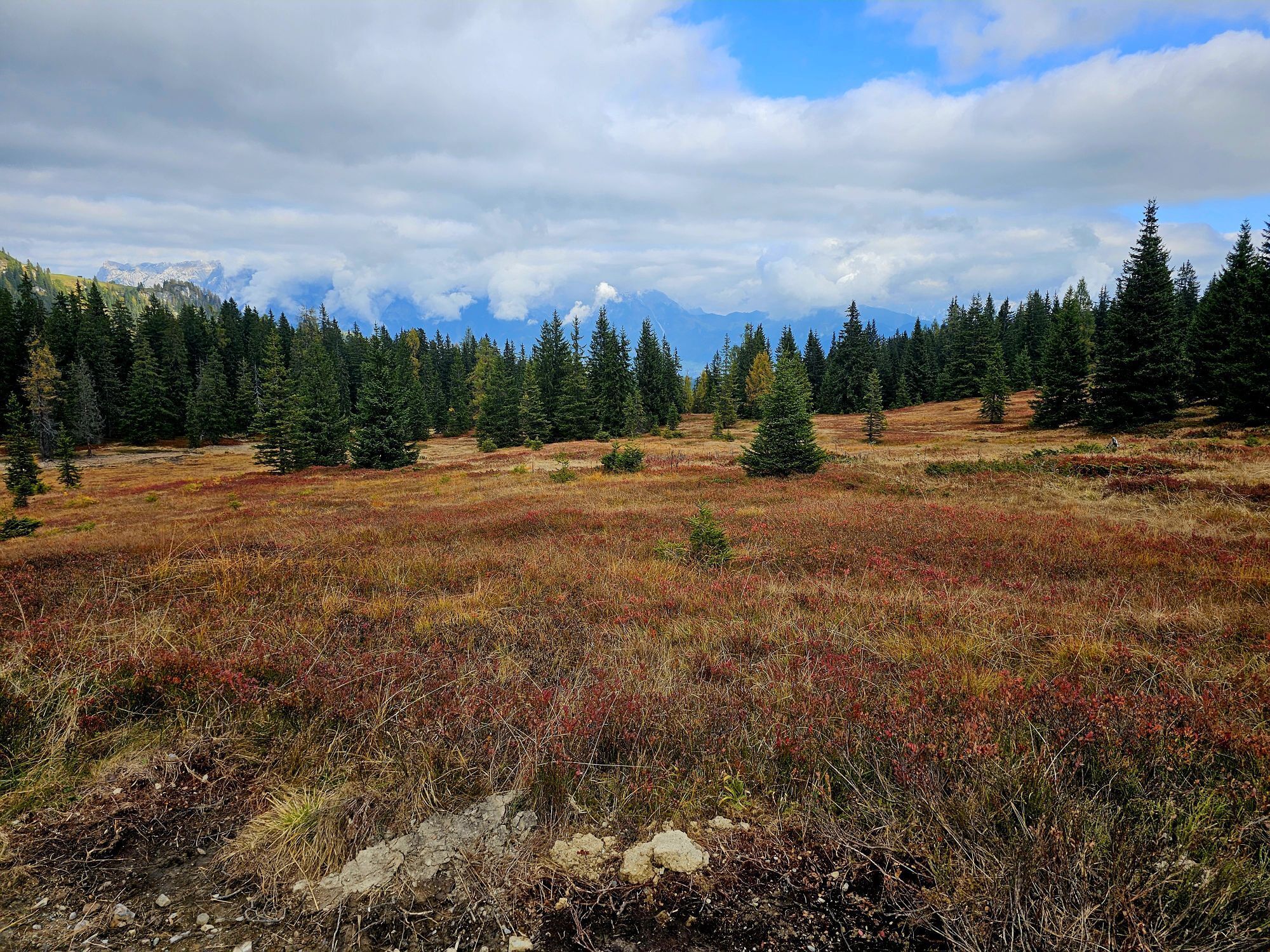
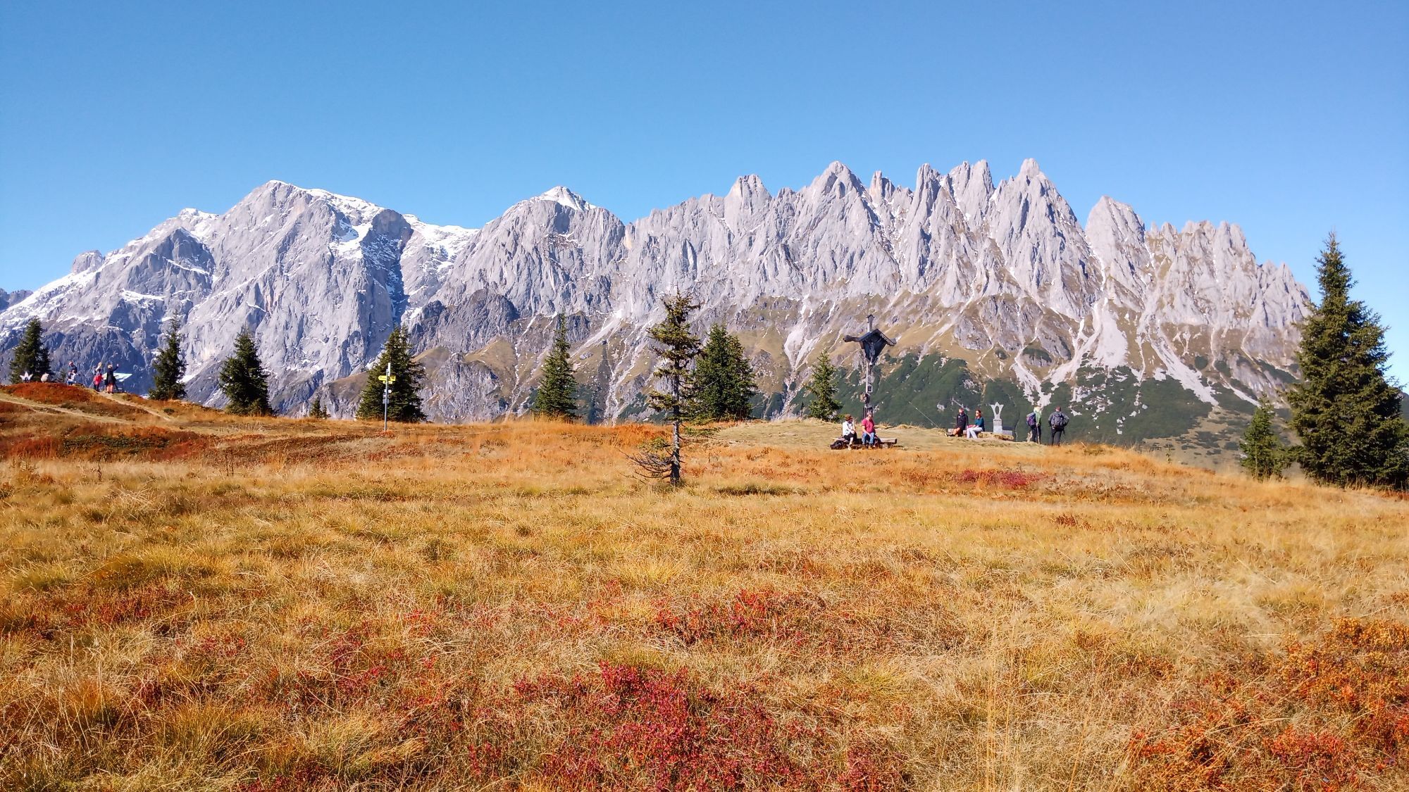
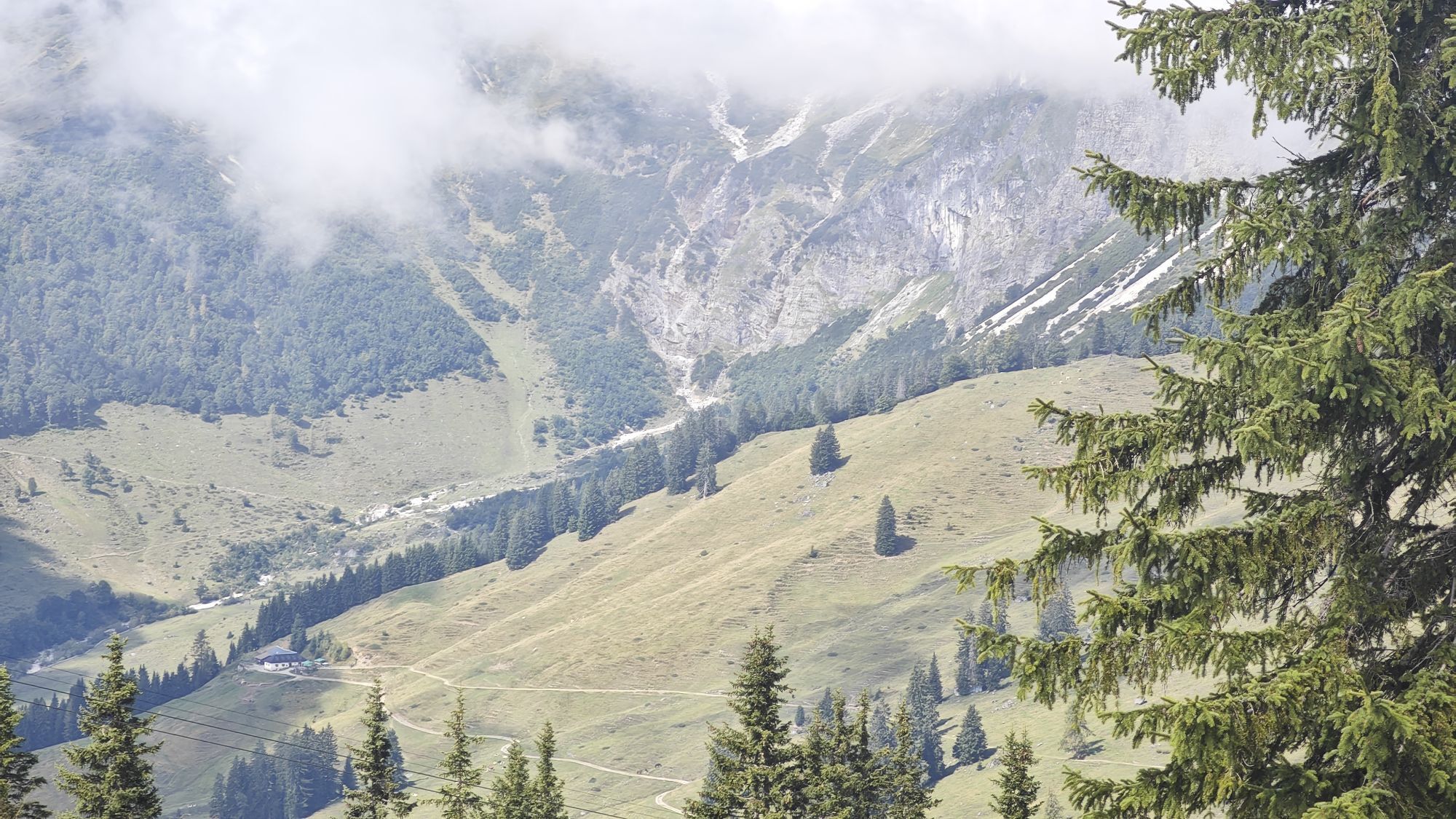
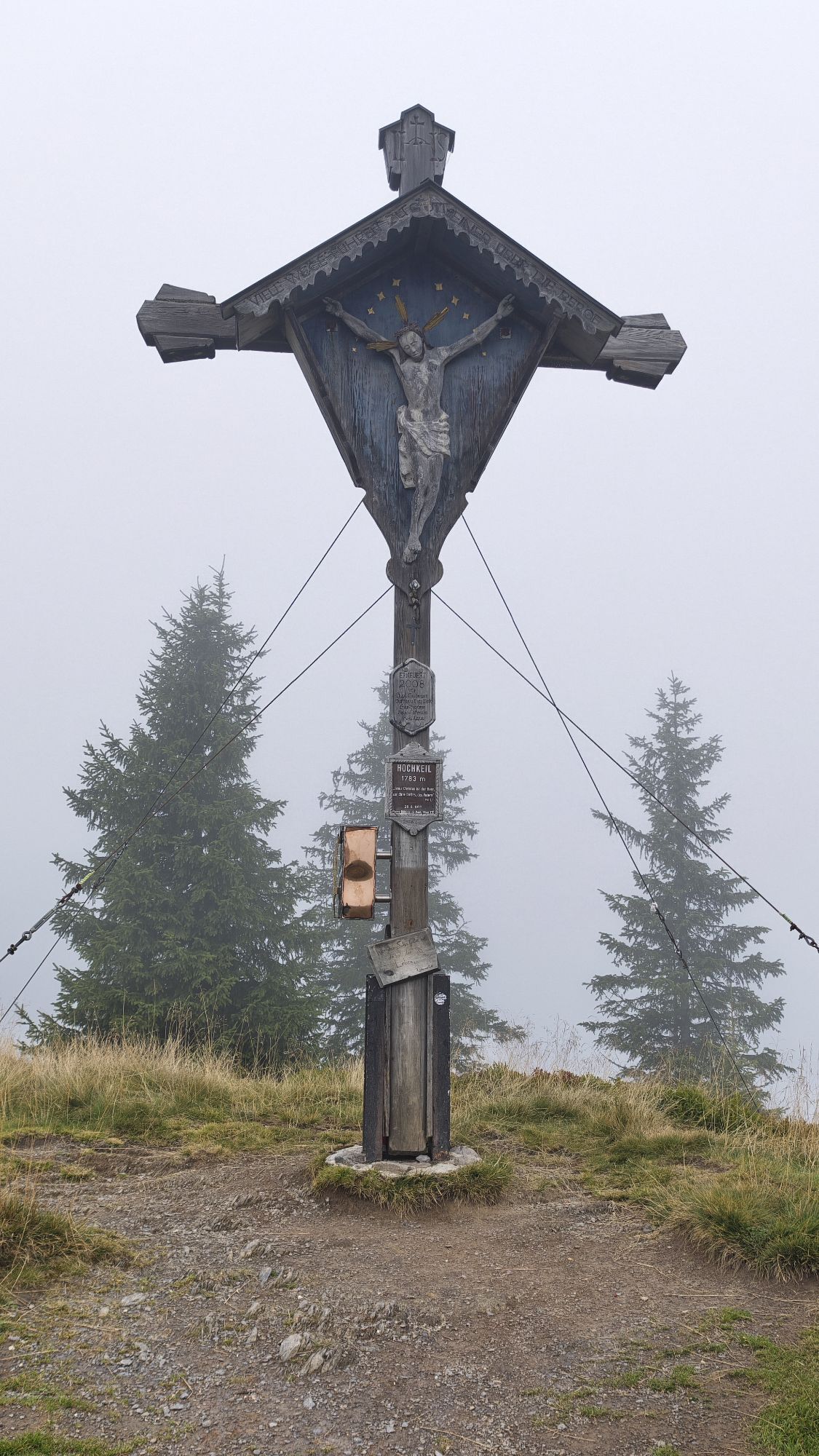
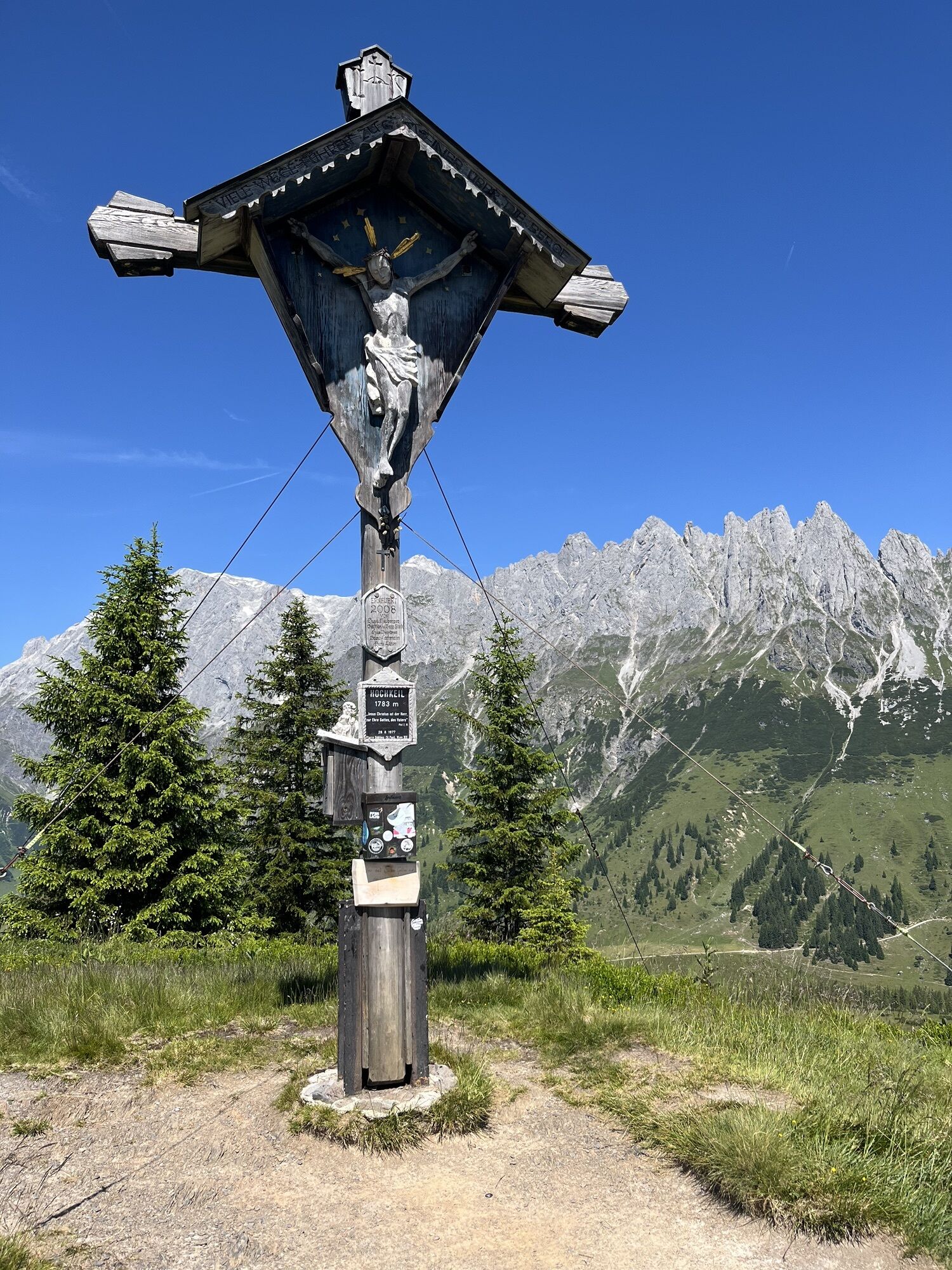
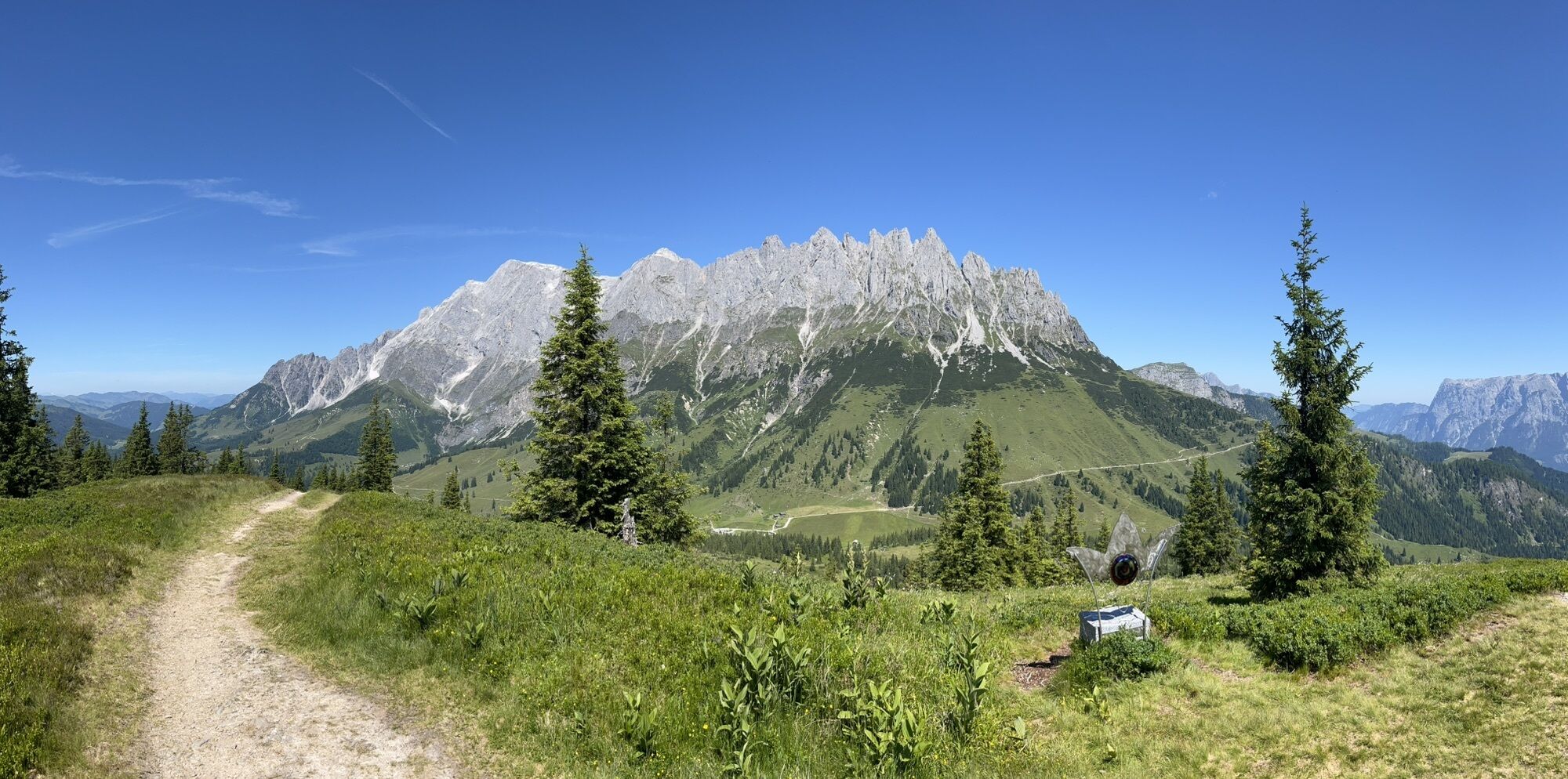
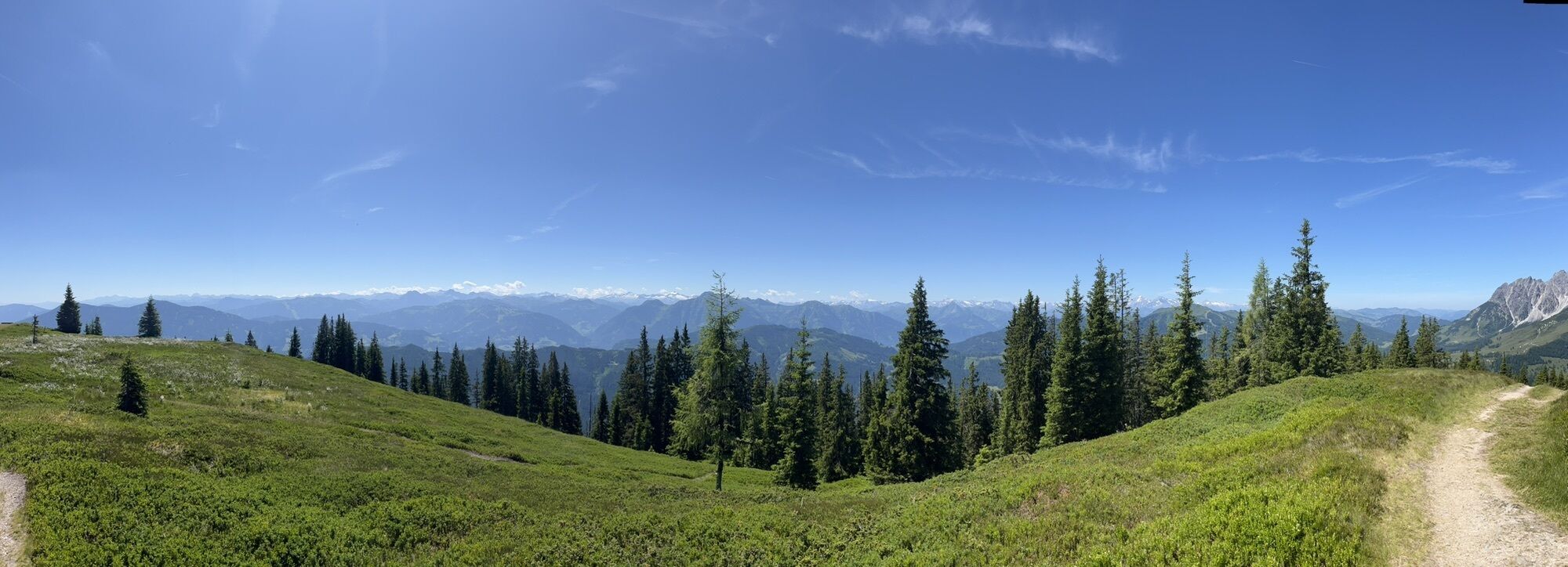
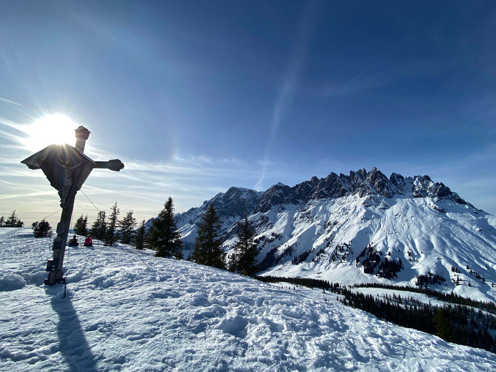
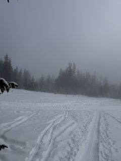
Randonnée à ski plus longue, mais facile et relativement sûre contre les avalanches, de Bischofshofen au Hochkeil. La montée est balisée et passe principalement en terrain dégagé en forêt, à l’écart des pistes. Au sommet, on se tient face à l’impressionnant massif du Hochkönig et on rencontre de nombreux randonneurs à ski venus de l’Arthurhaus. La vue panoramique est impressionnante. Du sommet, on descend par la piste de ski du Hochkeil et, à mi-chemin, on bifurque vers le chemin forestier préparé spécialement pour les randonneurs à ski, le Knappensteig. De là, on retourne jusqu’à Bischofshofen.

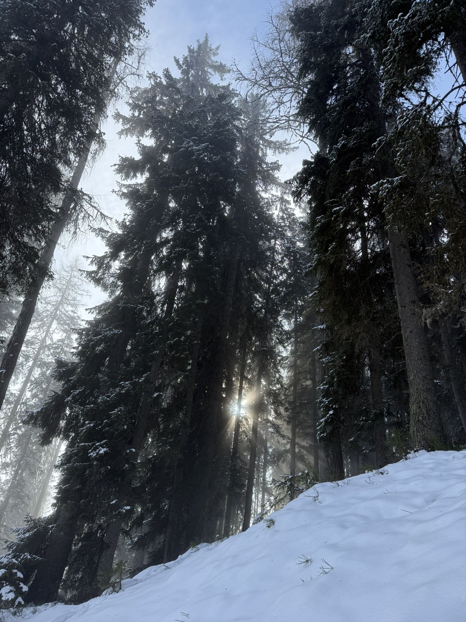
Si les conditions d’enneigement le permettent, le parcours peut commencer dans le domaine de saut de Bischofshofen. Toujours bien balisé, il traverse d’abord la forêt et passe par quelques prairies ouvertes près du Gasthof Bürglhöh, avant de quitter la partie préparée en bifurquant à gauche pour monter le long de la longue crête est à travers des forêts silencieuses et enneigées jusqu’au sommet. La descente se fait par la piste de ski Hochkeil, et à mi-chemin, on bifurque vers le chemin forestier préparé Knappensteig, par lequel on retourne au point de départ.
Oui
Oui
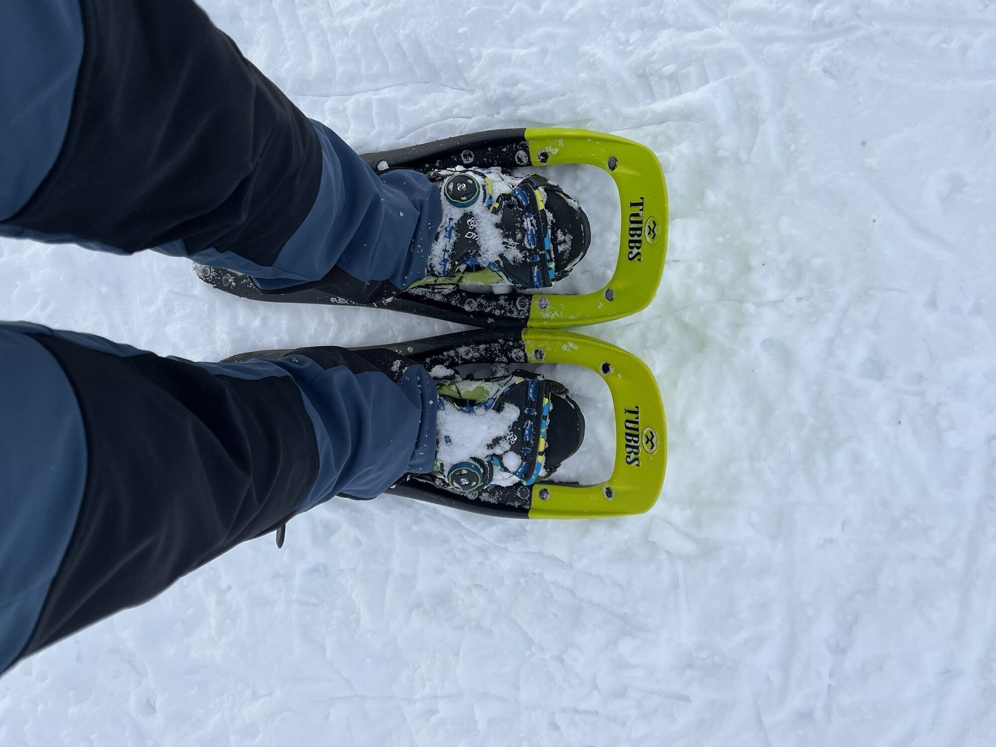
Équipement complet pour la randonnée à ski.
Attention au niveau d’avalanche ! Équipement complet pour la randonnée à ski.
Infos météo et avalanche sur www.lawine.salzburg.at
Gare de Bischofshofen, avec des trains S-Bahn et des liaisons longue distance plusieurs fois par heure. De là, environ 10 minutes à pied à travers la ville jusqu’au point de départ.
Informations et téléchargement des horaires : en ligne sur www.salzburg-verkehr.at ou sur votre smartphone via l’application gratuite Salzburg Verkehr pour Android et iOS.
Station de ski Hochkeil :
Theresa Schilling
5020 Salzburg
theresaschilling@googlemail.com
Crédit photo : Theresa Schilling, Per Oftedal
Pause au Gasthof Bürglhöh, juste avant Bischofshofen, directement sur la piste de descente.


Parcours populaires à proximité
-
4,8
Ascension Lauskopf
difficileRandonnée 8,16 km -
4,8
Ascension au sommet Taghaube
difficileRandonnée 6,25 km -
4,7
Par le "circuit des Vier Hütten" jusqu'à la Windraucheggalm
moyenRandonnée 10,1 km -
4,7
Randonnée panoramique vers le Hochkeil
moyenRandonnée 6,07 km -
3,6
Wanderung zur Ostpreußenhütte in Werfen (1.630 m)
moyenRandonnée 11,2 km -
4,8
Großarl : Mooslehenalm – Niggeltalalm – Viehhausalm
moyenRandonnée 5,44 km -
4,9
Werfenweng Mountainbikerunde Söldenhütte
moyenVTT 18,8 km -
4,8
Hochkönig - Gipfel der Gefühle - Matrashaus
difficileRandonnée 20,9 km -
4,4
Randonnée des alpages et refuges "Hochmaisalm & Steinbockalm"
moyenRandonnée 8,10 km -
4,6
Königsjodler Klettersteig (C/D) Hochkönig
difficileVia ferrata 25,8 km
Randonnée et suivi


Ne manquez pas les offres et l'inspiration pour vos prochaines vacances
Votre adresse électronique a été ajouté à la liste de diffusion.