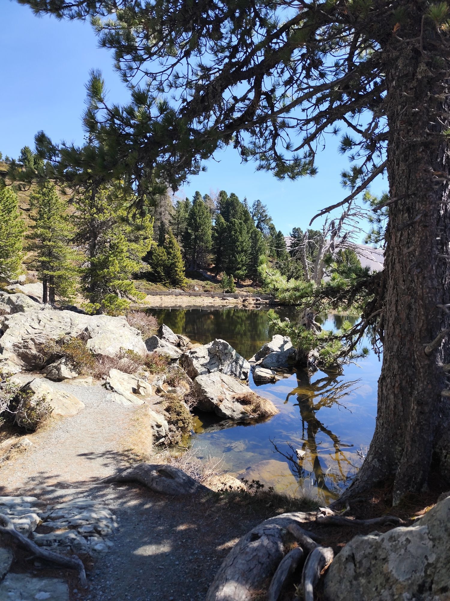
Iron round
difficile
Télécharge cette visite sur ton portable
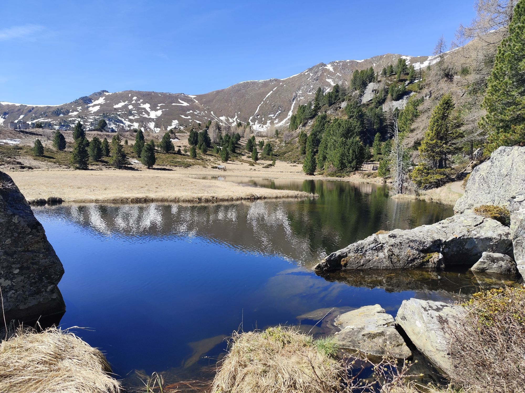
Iron round
difficile
Vélo de course
96,84
km
Scanner le code QR et commencer la navigation dans l'application bergfex

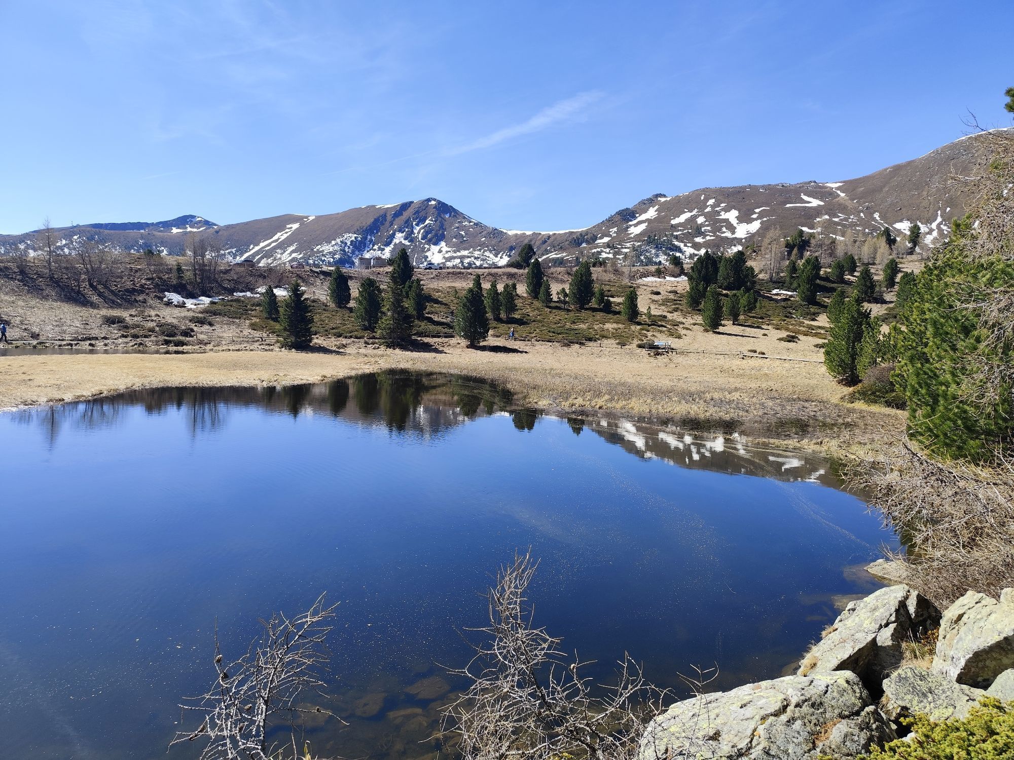
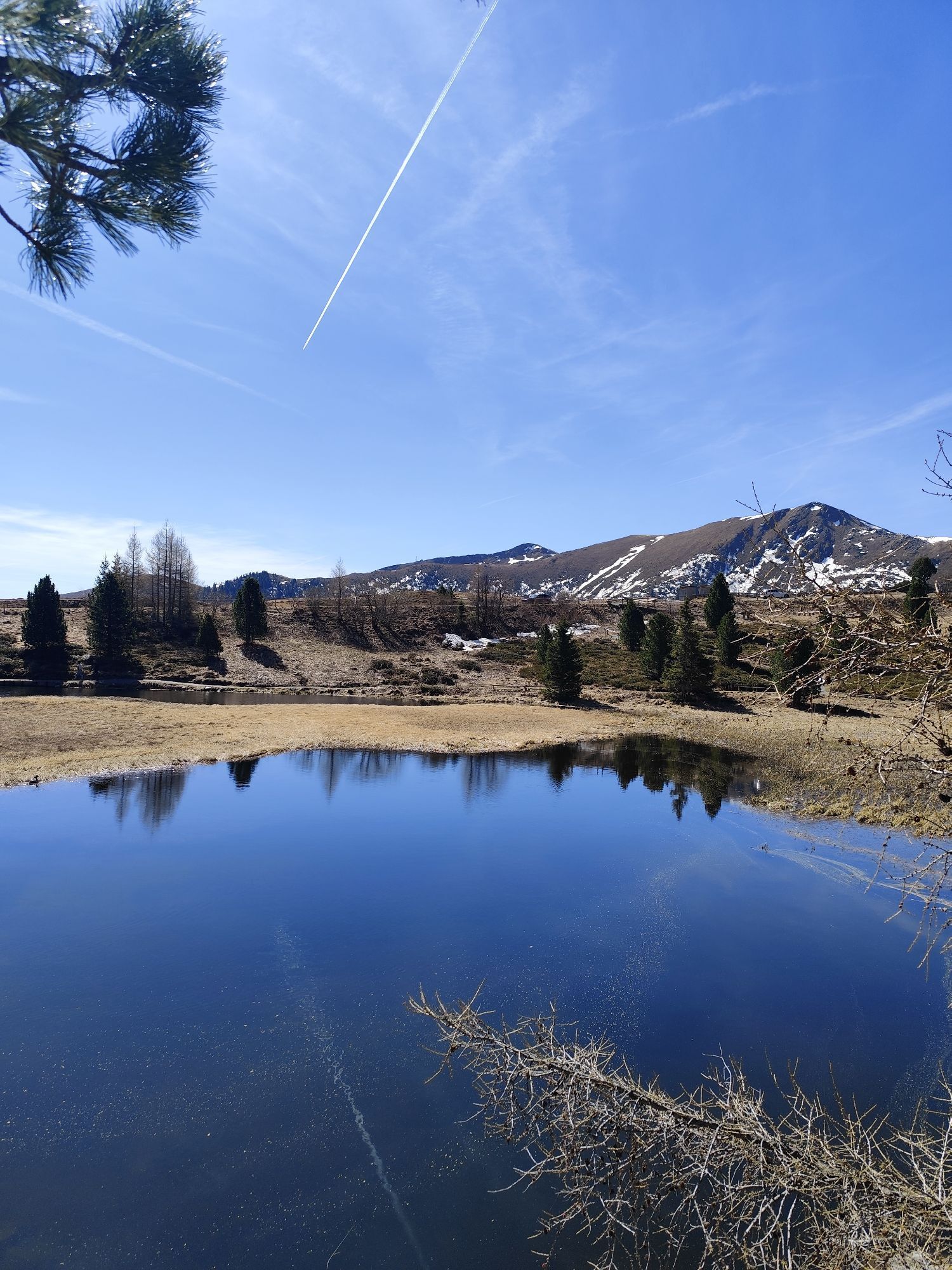
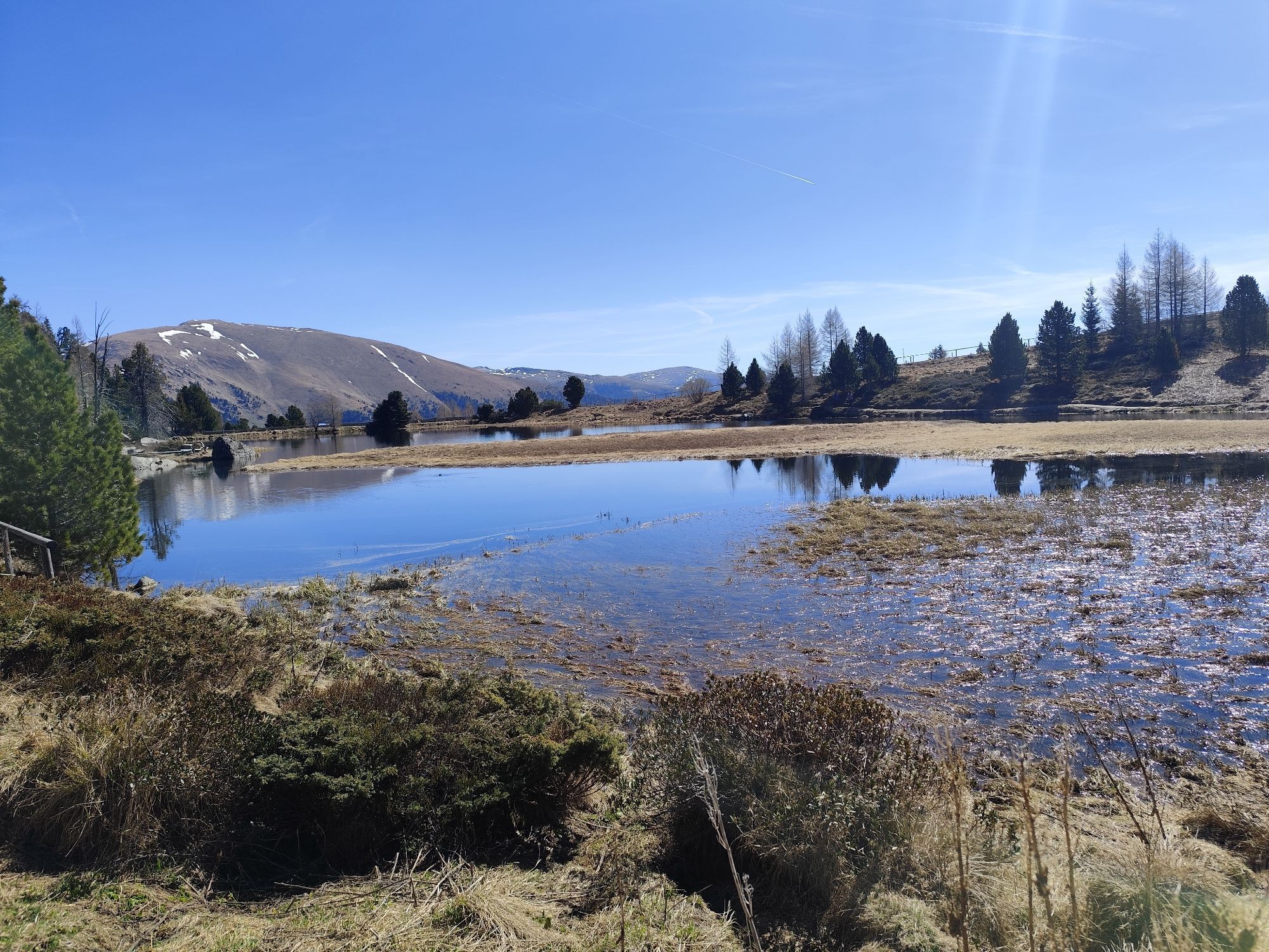
Randonnée & tracking


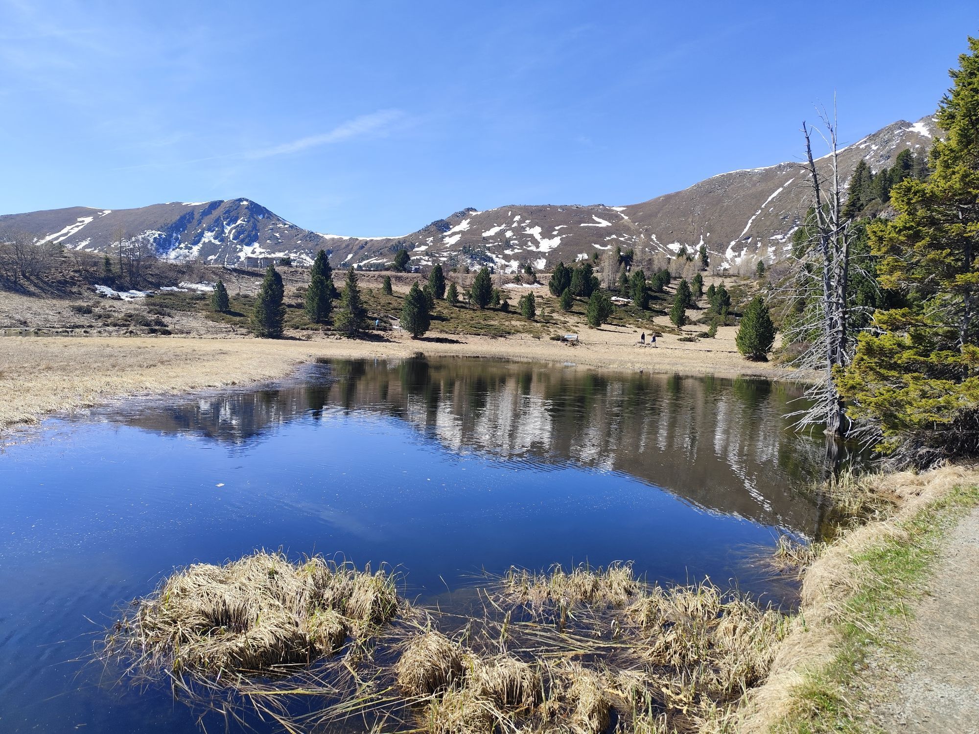
Iron round
difficile
Distance
96,84
km
Durée
-
h
Ascension
2 455
m
Altitude
931 -
2 046
m
Téléchargement de la piste
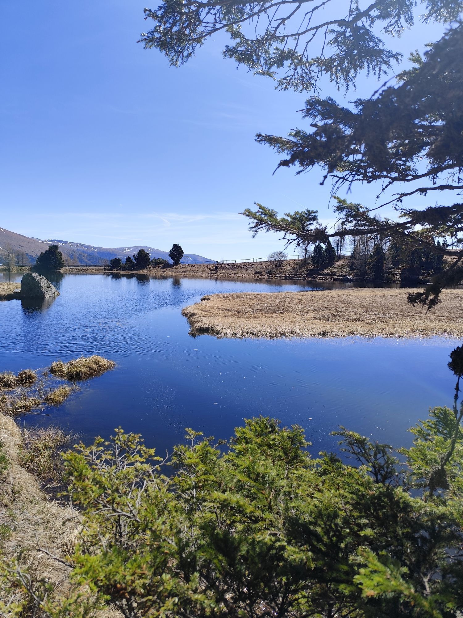
Iron round
difficile
Vélo de course
96,84
km
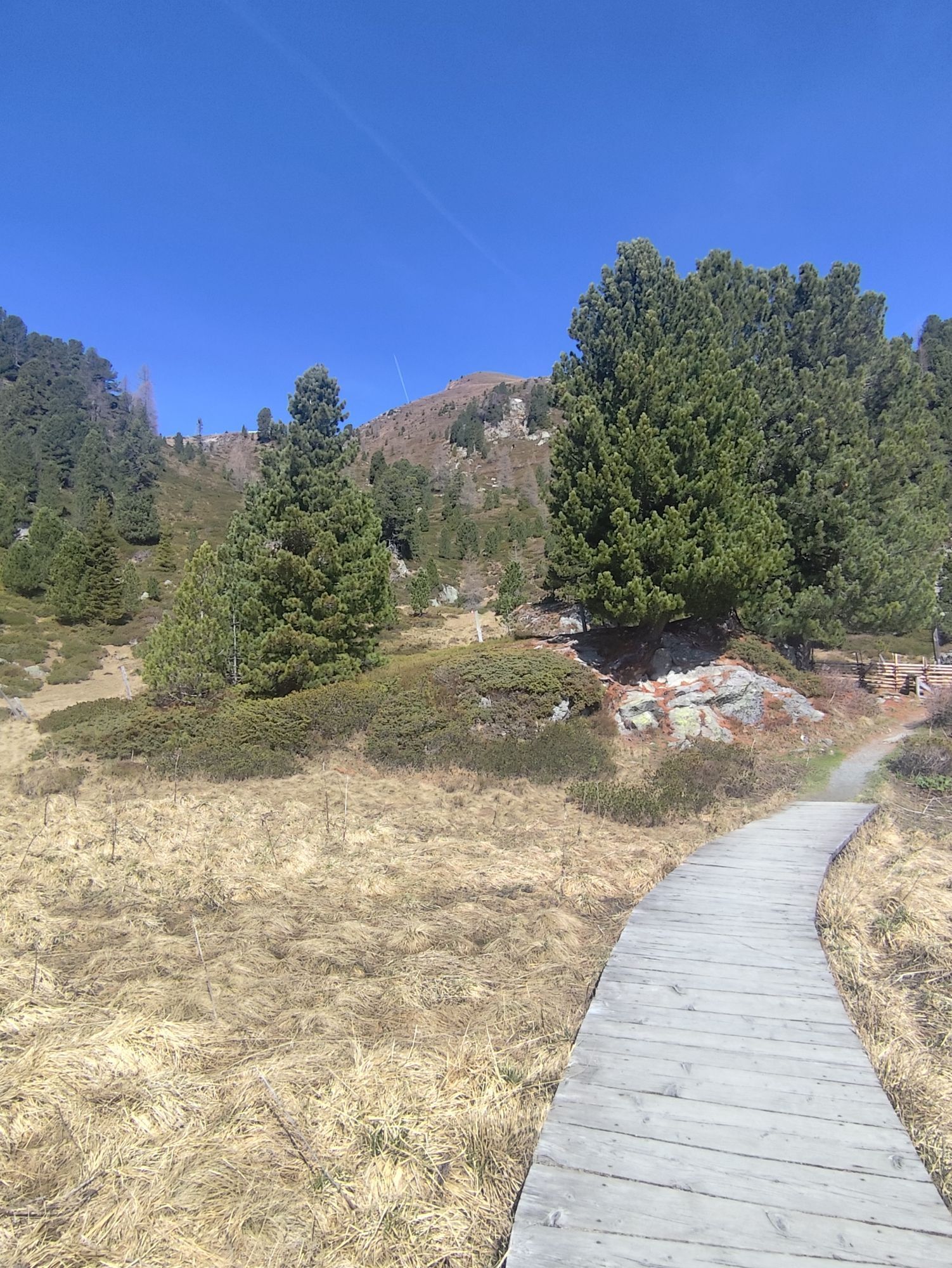
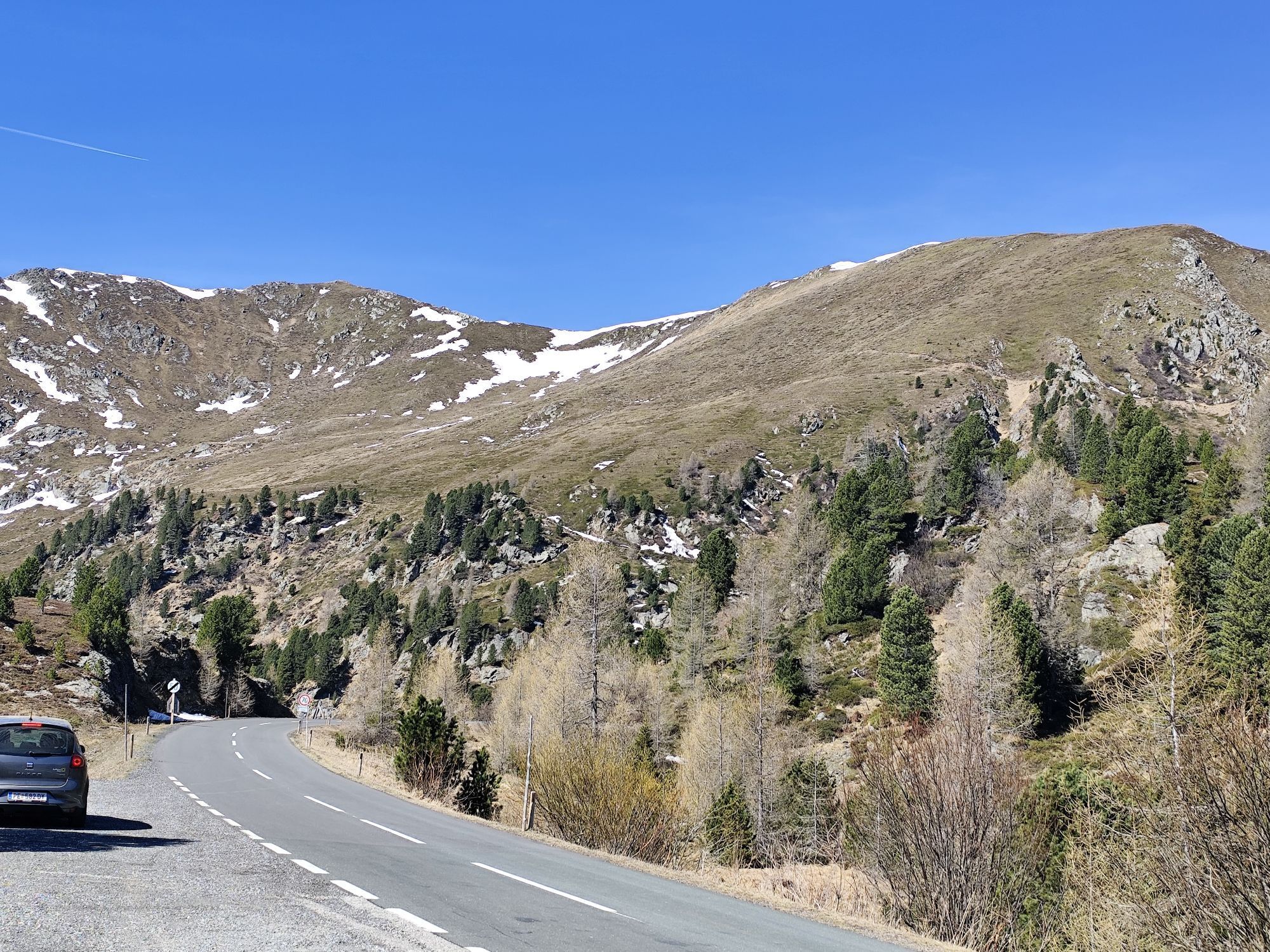

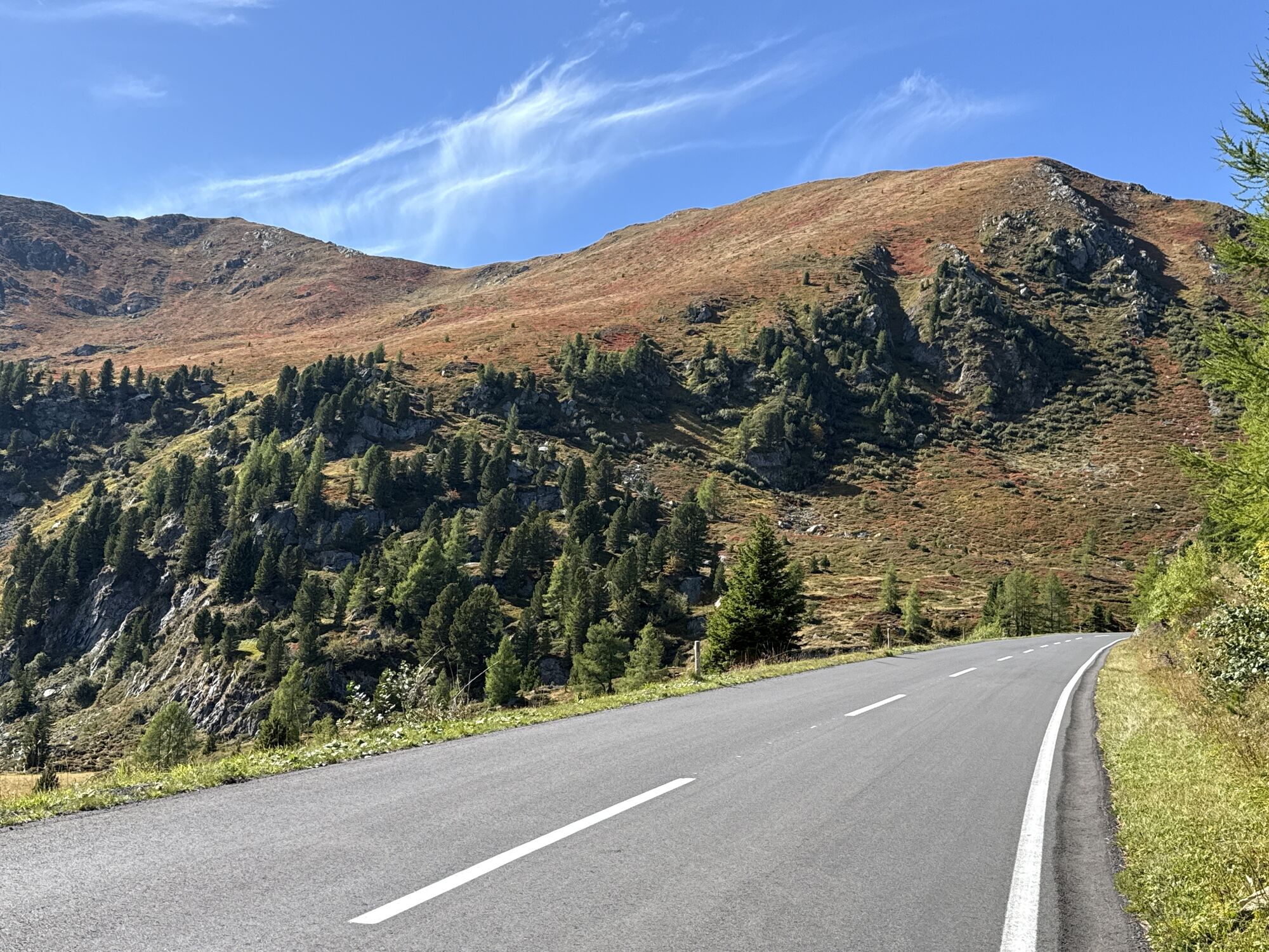

Parcours
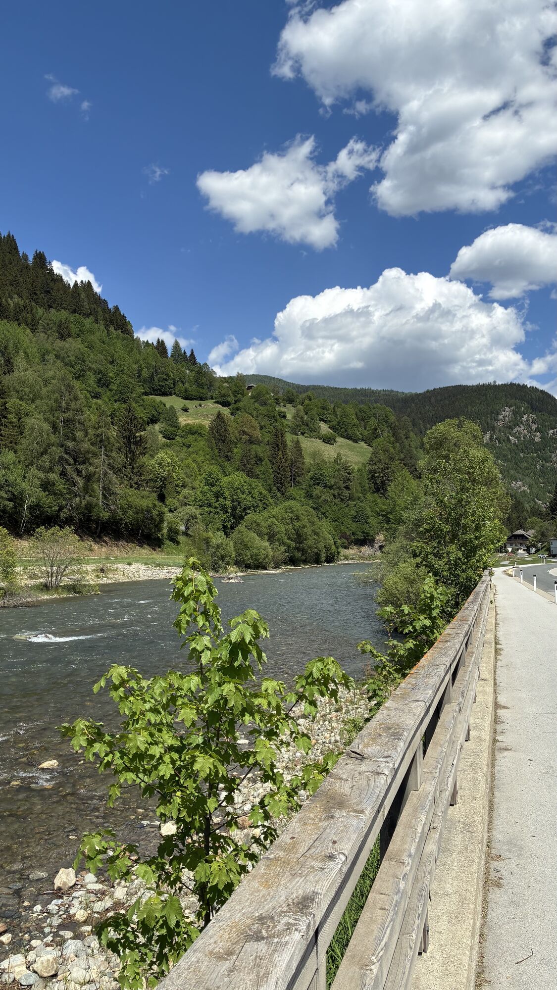
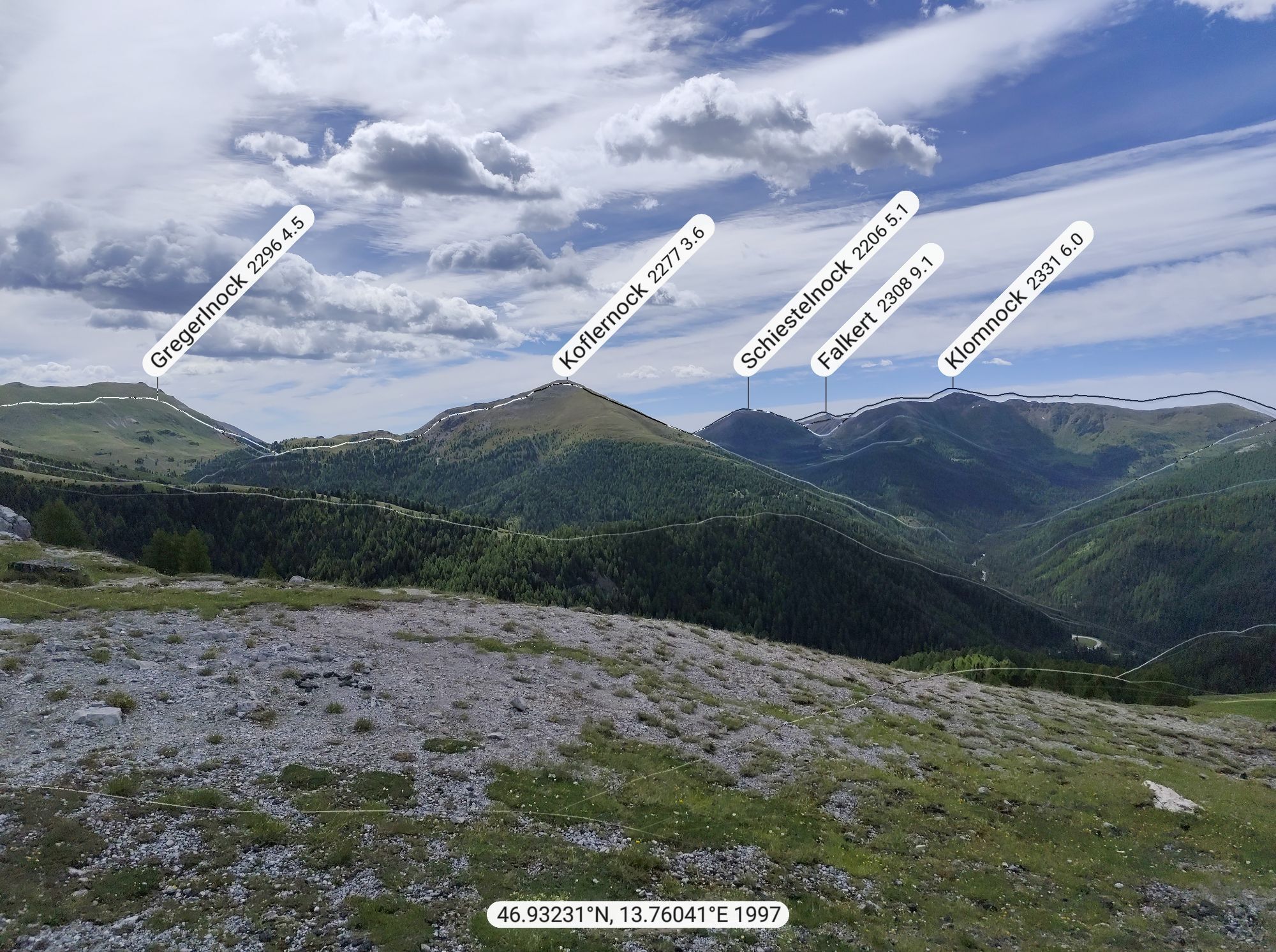
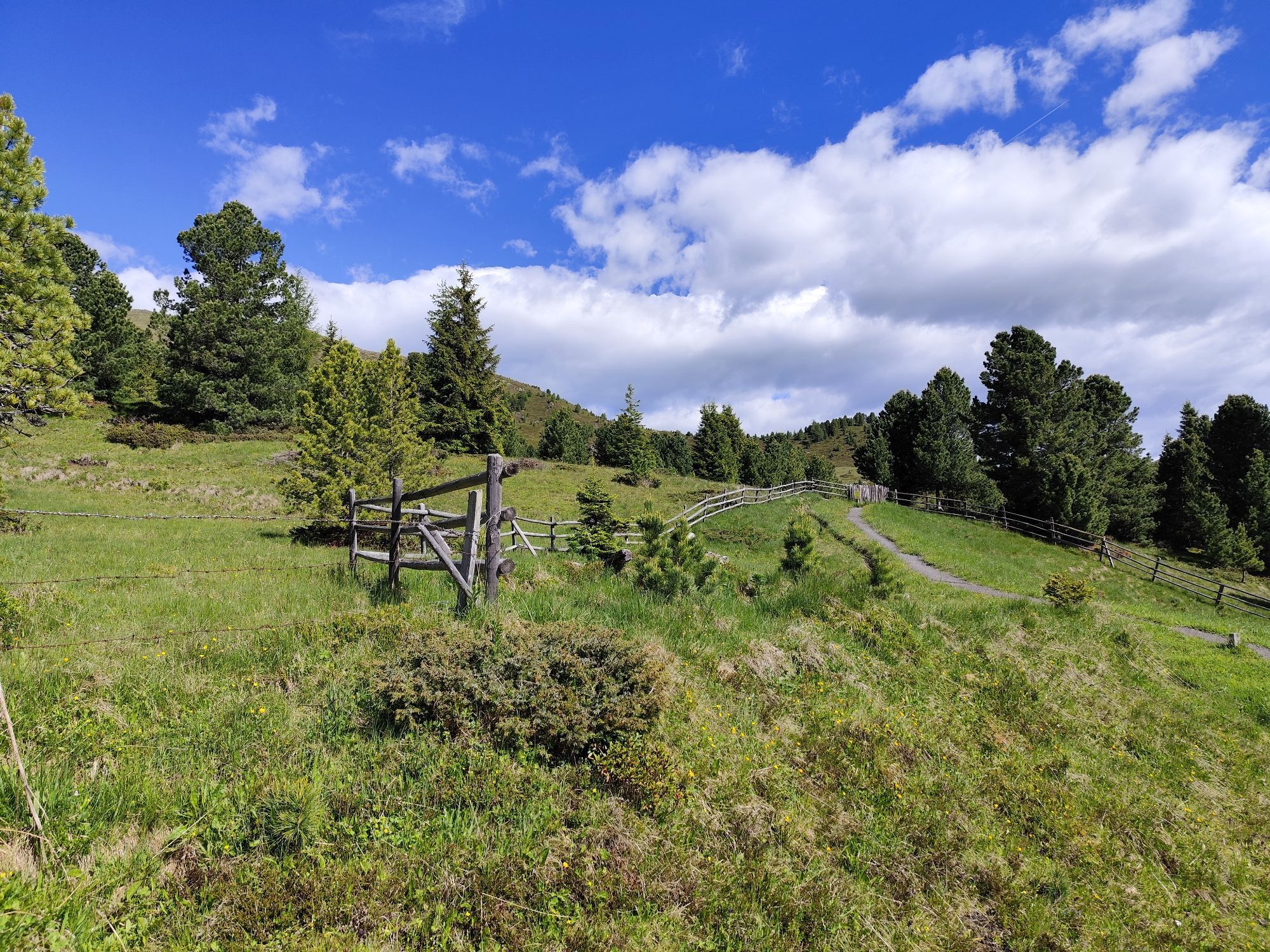
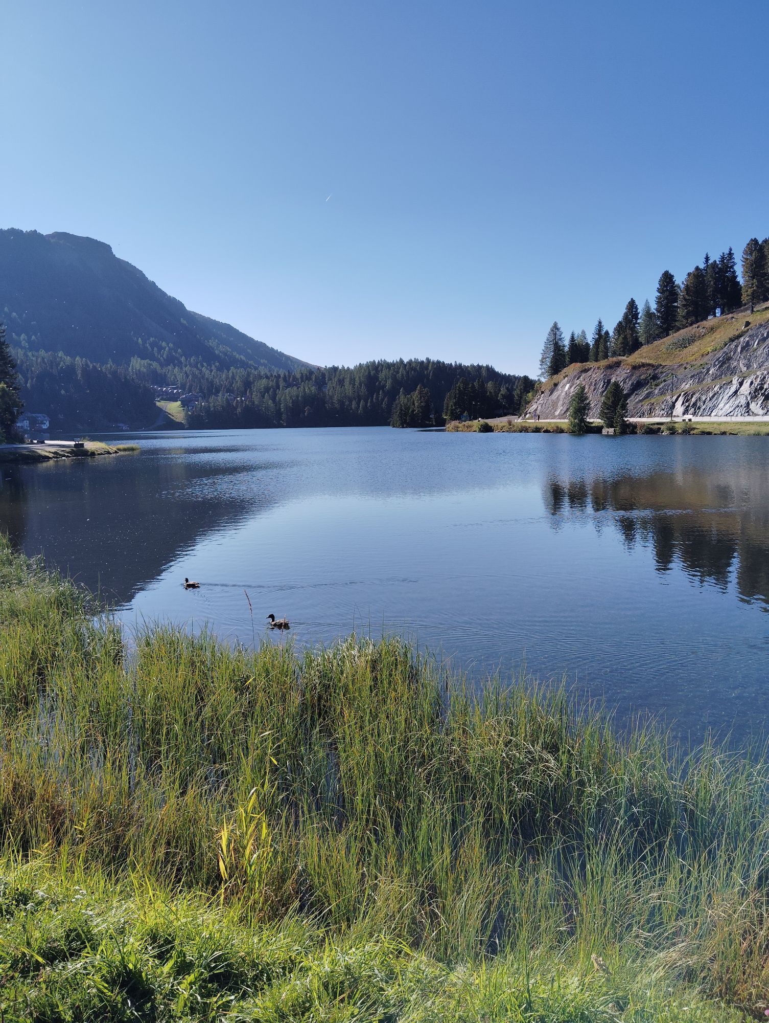
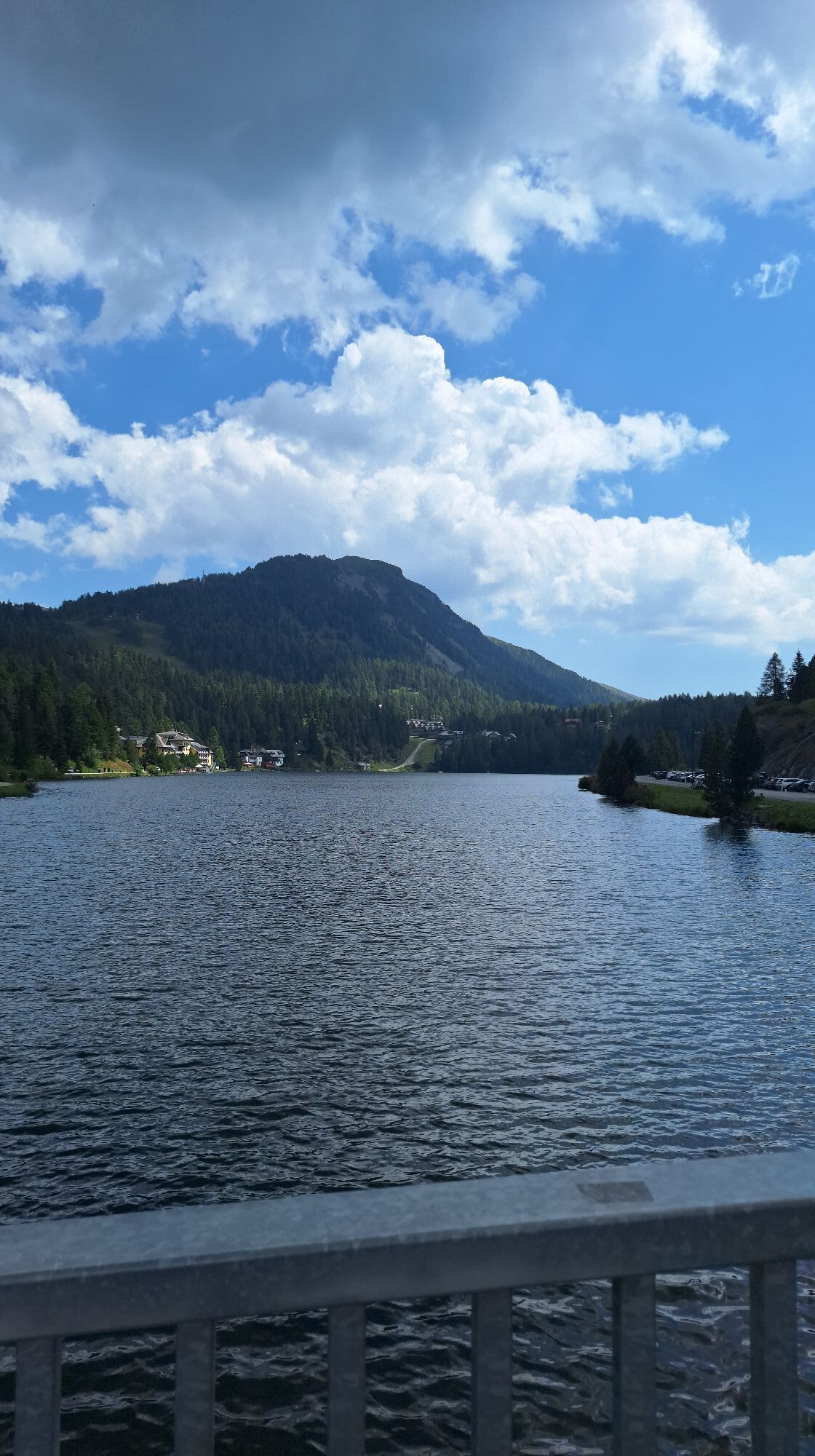
Gruben
(1 073 m)
Lotissement
0,7 km
Sankt Josef
(1 269 m)
Lieu de culte
29,6 km
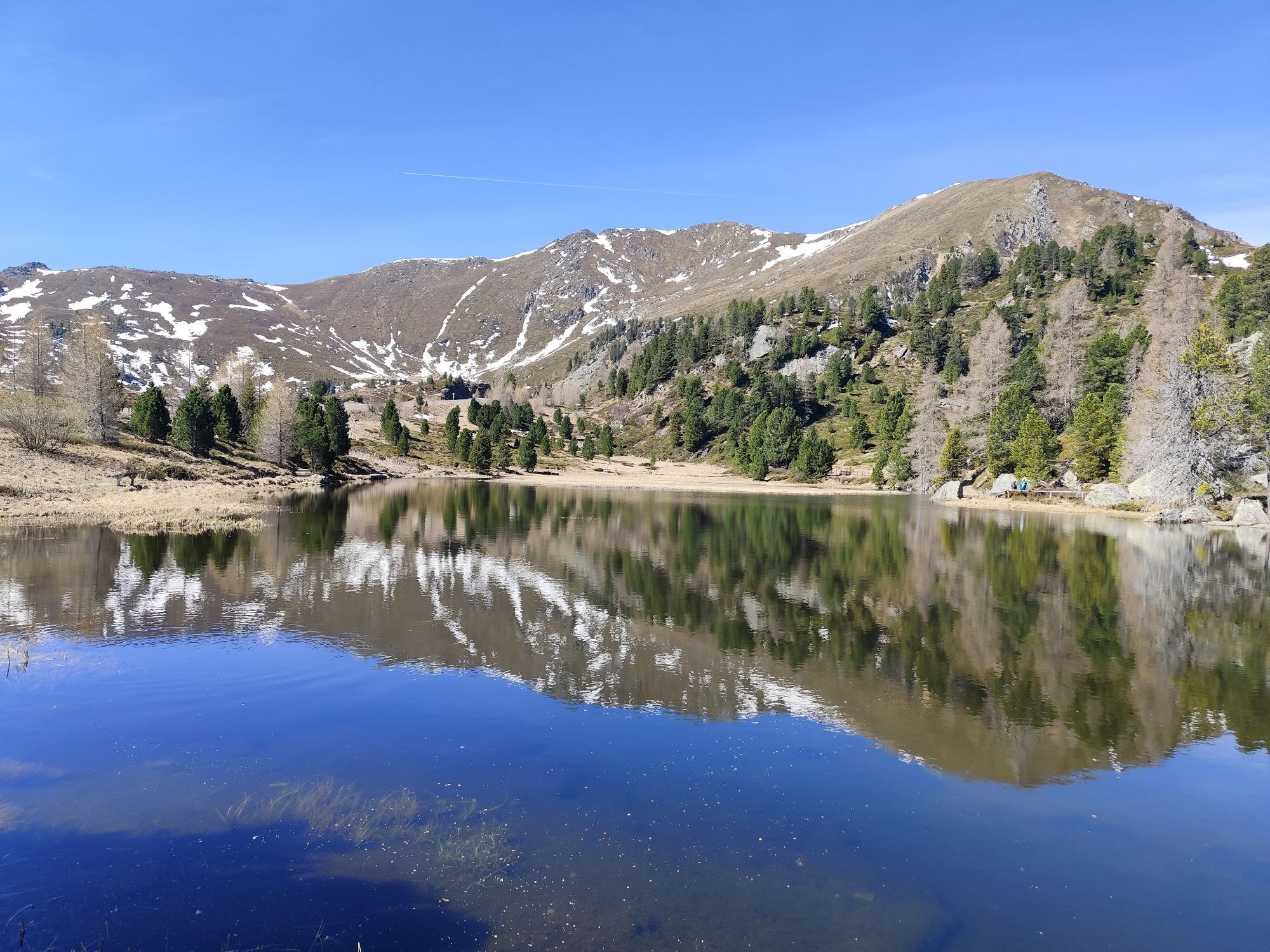
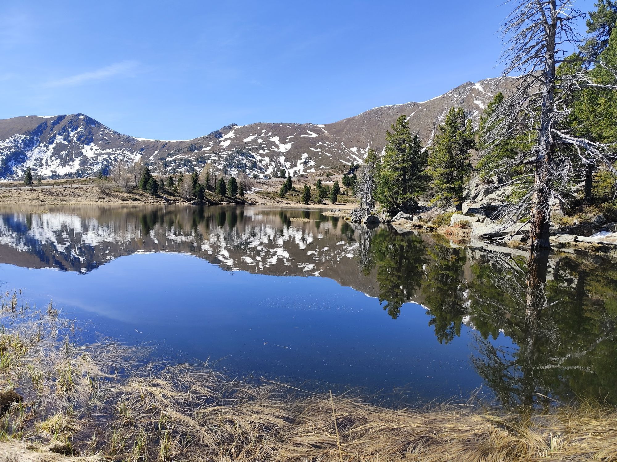
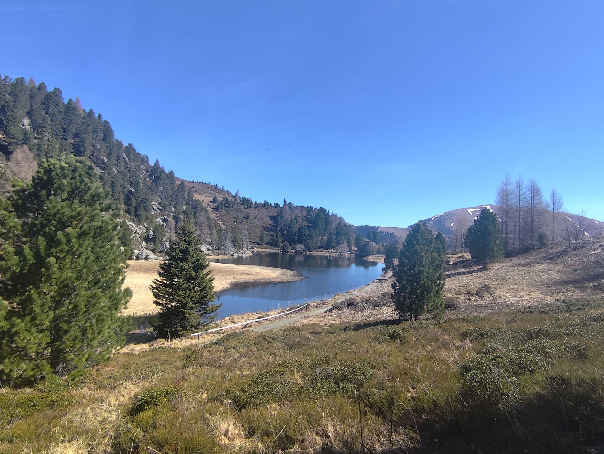
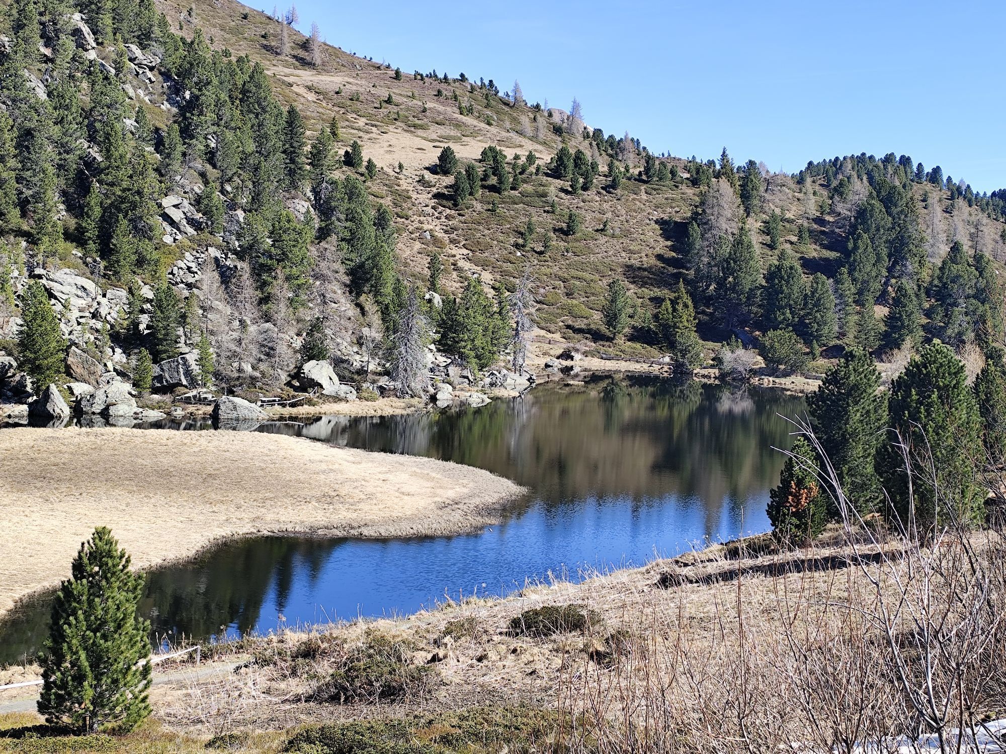
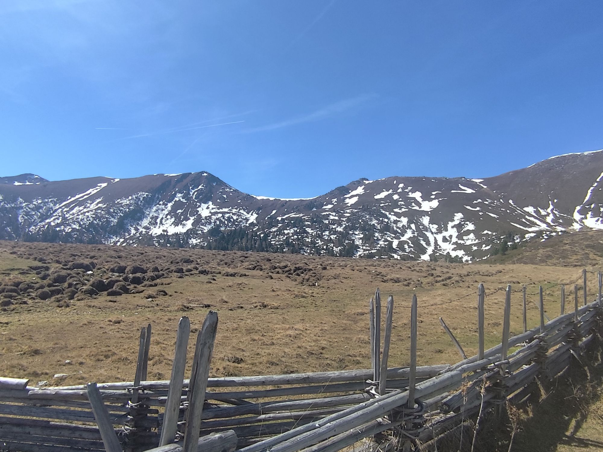
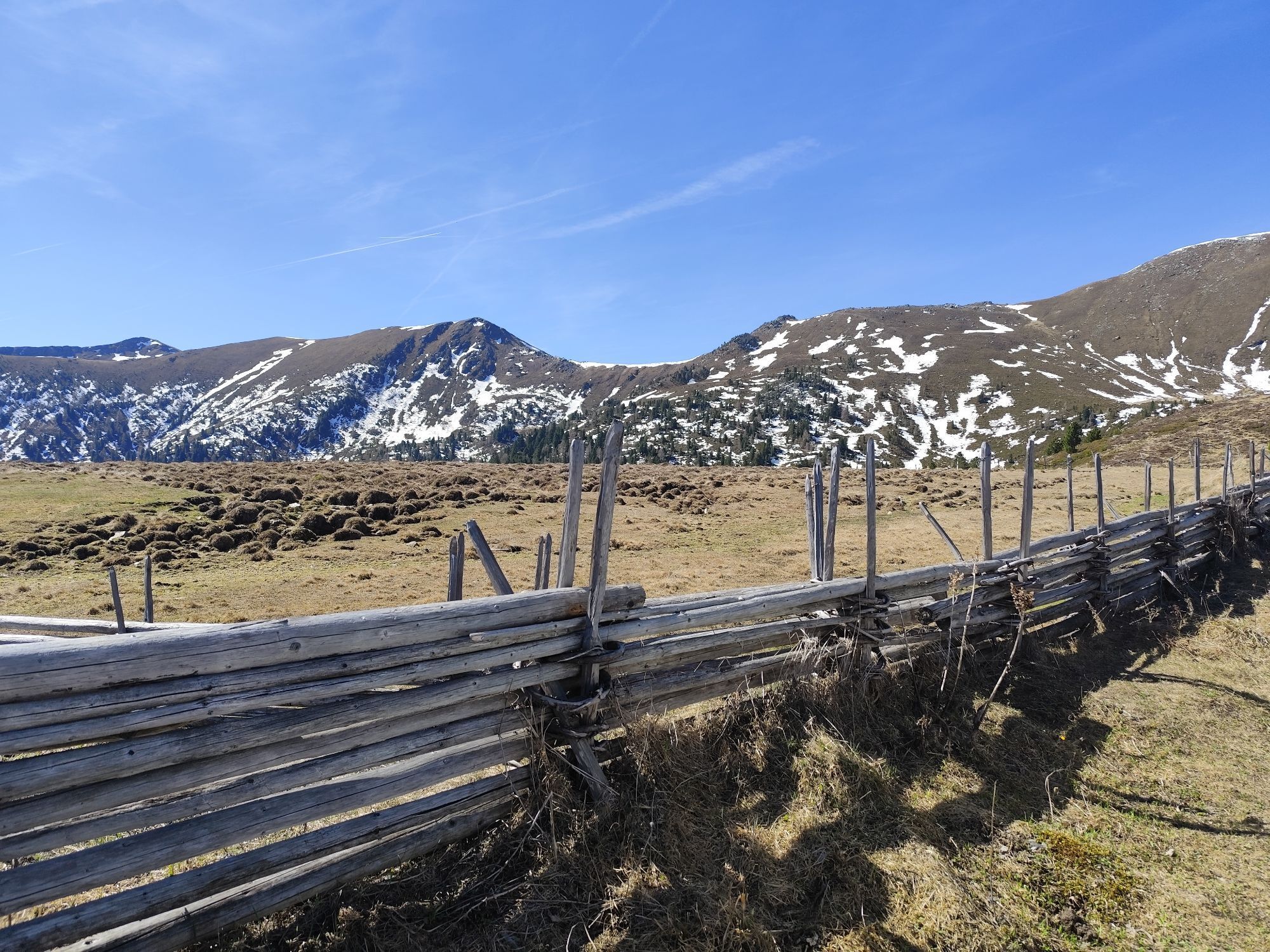
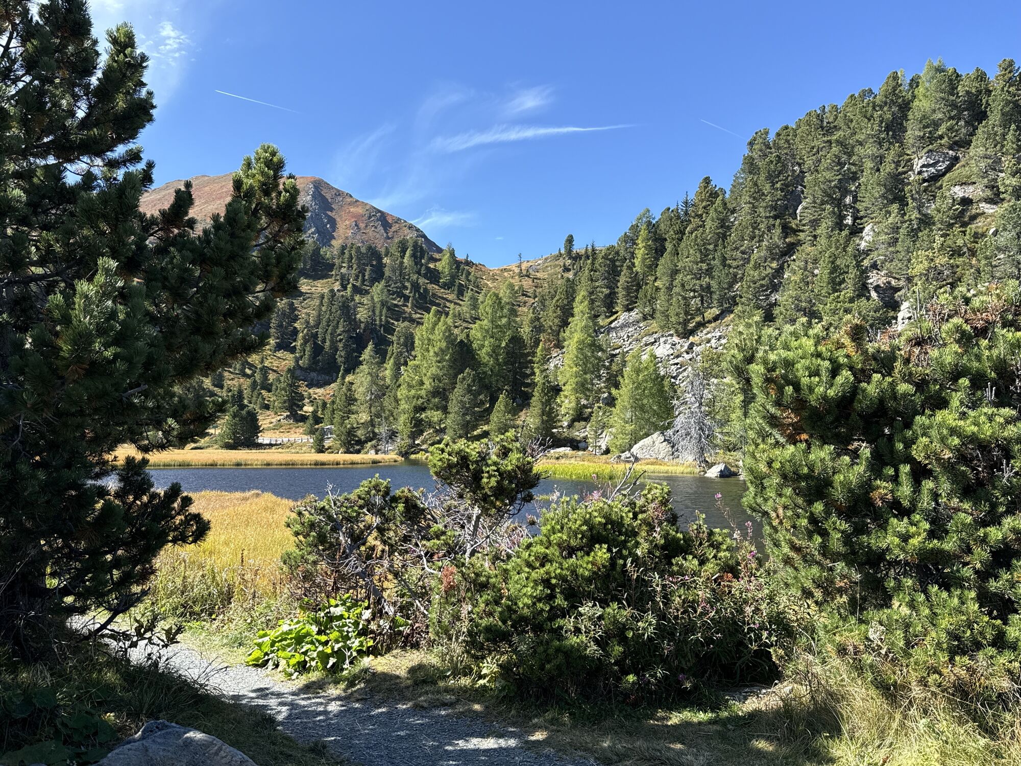
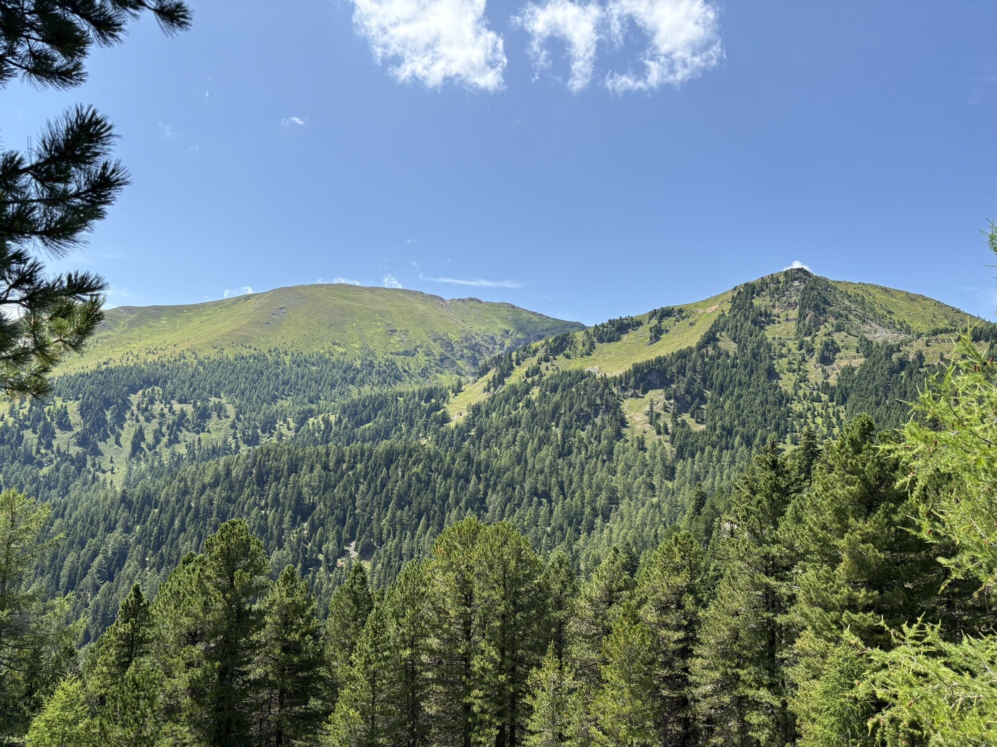
K-Alm
(1 779 m)
Refuge
35,6 km
Reidn 45
(1 885 m)
Couloir/terrain
54,3 km
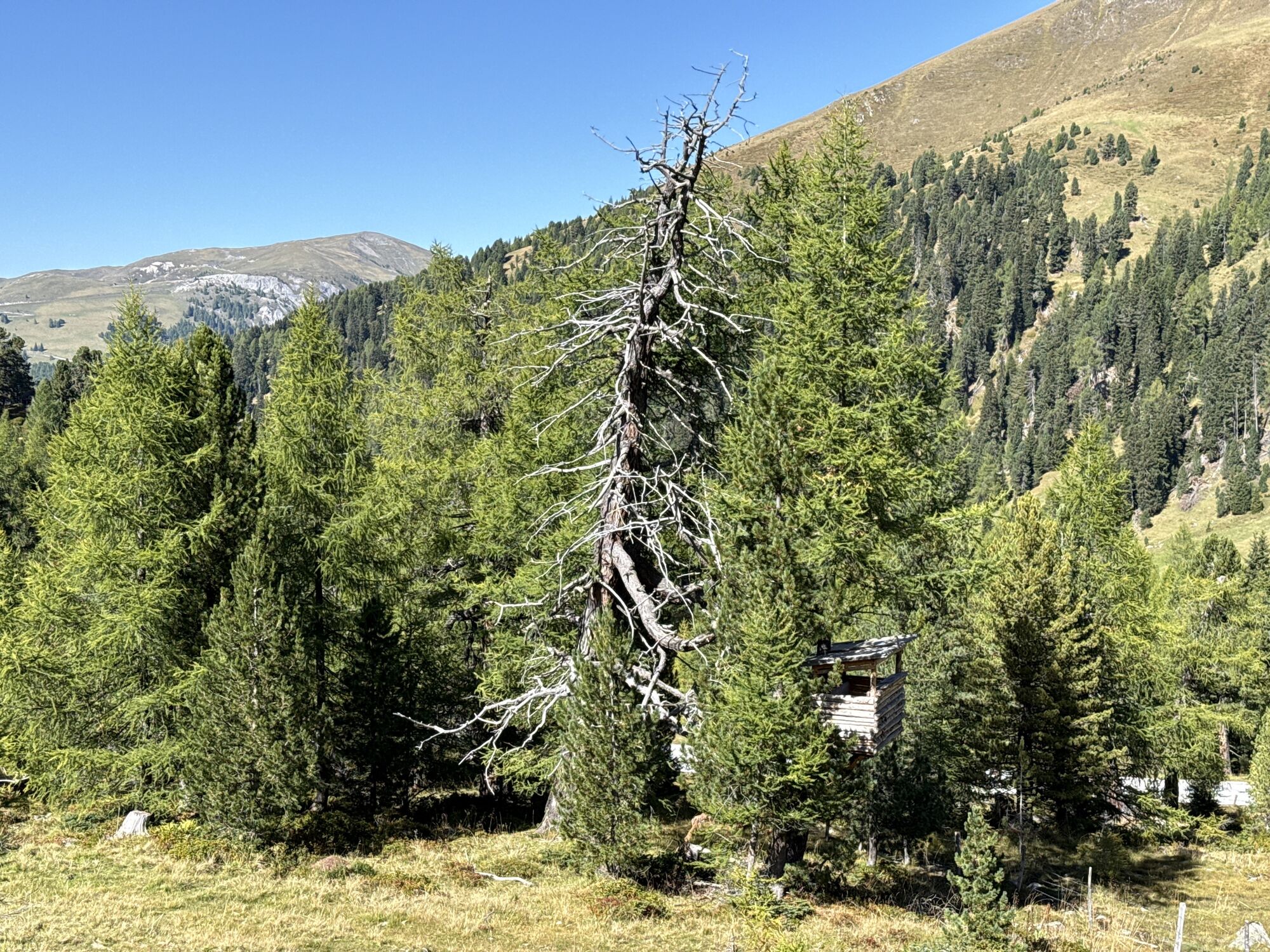
Winkl
(1 697 m)
Village
64,8 km
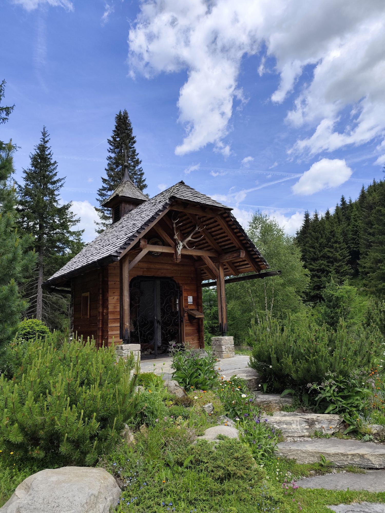
Kapelle
(1 685 m)
Lieu de culte
64,9 km
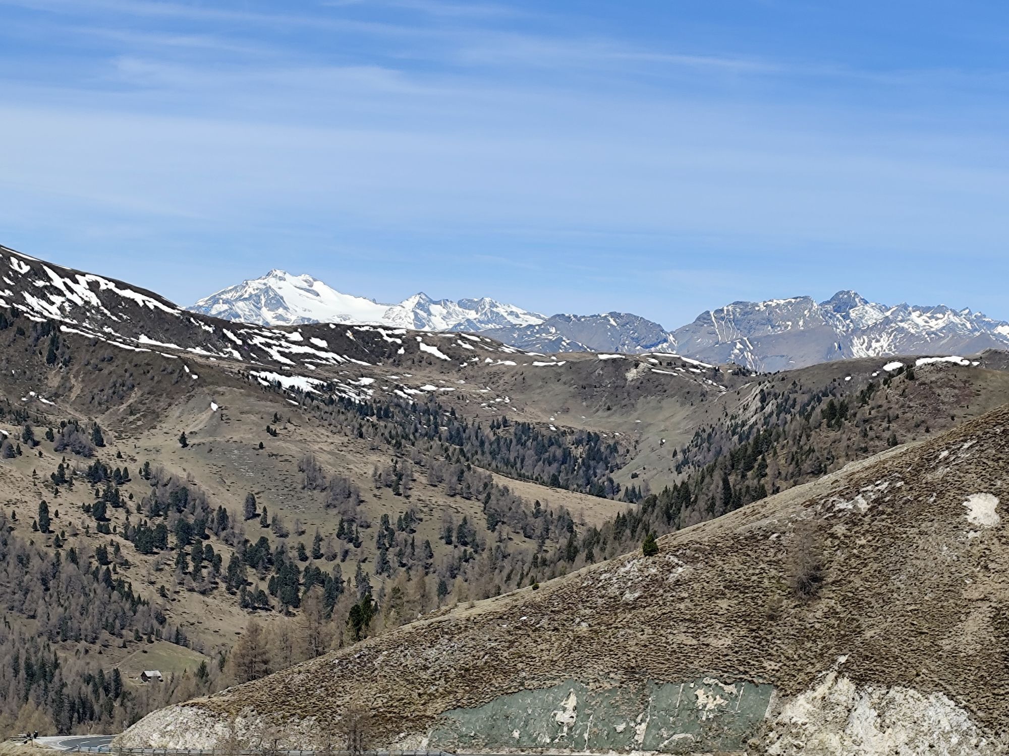
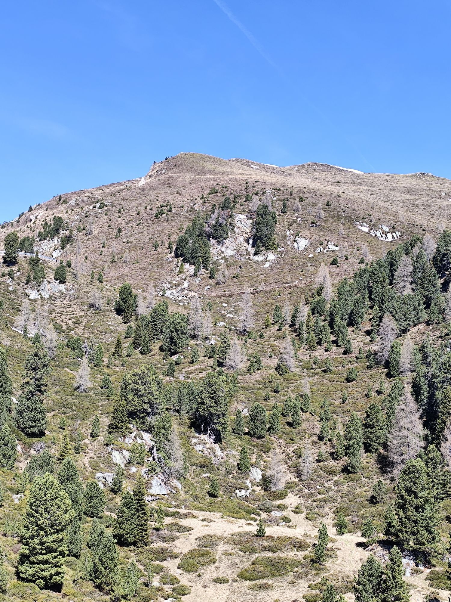
Schönfeldsattel
(1 741 m)
Col de montagne
82,3 km
Parcours
Iron round
difficile
Vélo de course
96,84
km
Gruben
(1 073 m)
Lotissement
0,7 km
Thomatal
(1 045 m)
Village
2,3 km
Fegendorf
(1 034 m)
Lotissement
4,8 km
Winkl
(1 011 m)
Lotissement
7,0 km
Tafern
(1 020 m)
Lotissement
7,6 km
Mignitz
(1 083 m)
Village
7,8 km
Madling
(976 m)
Lotissement
8,0 km
Muhr
(984 m)
Lotissement
8,6 km
Schwarzenbergsiedlung
(971 m)
Lotissement
9,0 km
Ramingstein
(986 m)
Village
9,7 km
Gasthof Durigon
(971 m)
Restaurant
9,9 km
Dorfwirt Bräu Santner
(964 m)
Restaurant
10,4 km
Ramingstein
(975 m)
Lieu de culte
10,5 km
Schlosserbühel
(988 m)
Lotissement
10,6 km
Schlosserbühel
(980 m)
Lotissement
10,7 km
Hintering
(977 m)
Lotissement
11,9 km
Kendlbruck
(946 m)
Village
13,7 km
Landgasthof Weilharter
(941 m)
Restaurant
13,8 km
Einöd
(940 m)
Lotissement
15,6 km
Predlitz
(926 m)
Village
15,9 km
Gasthof Steinerwirt
(930 m)
Restaurant
16,2 km
Sankt Josef
(1 269 m)
Lieu de culte
29,6 km
Gasthaus zum Bergmann
(1 270 m)
Restaurant
29,6 km
Turrach
(1 268 m)
Village
29,6 km
Bachwirt
(1 701 m)
Restaurant
34,3 km
K-Alm
(1 779 m)
Refuge
35,6 km
Christophorus Bergkirche
(1 781 m)
Lieu de culte
36,4 km
Turracher Höhe
(1 786 m)
Village
36,8 km
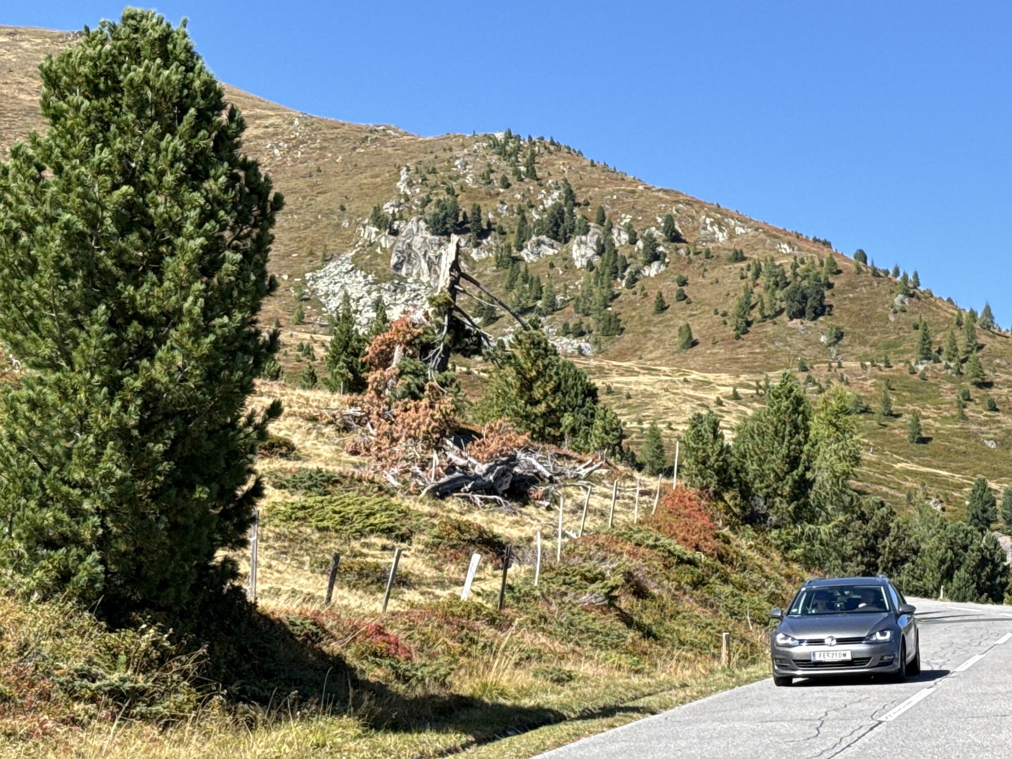
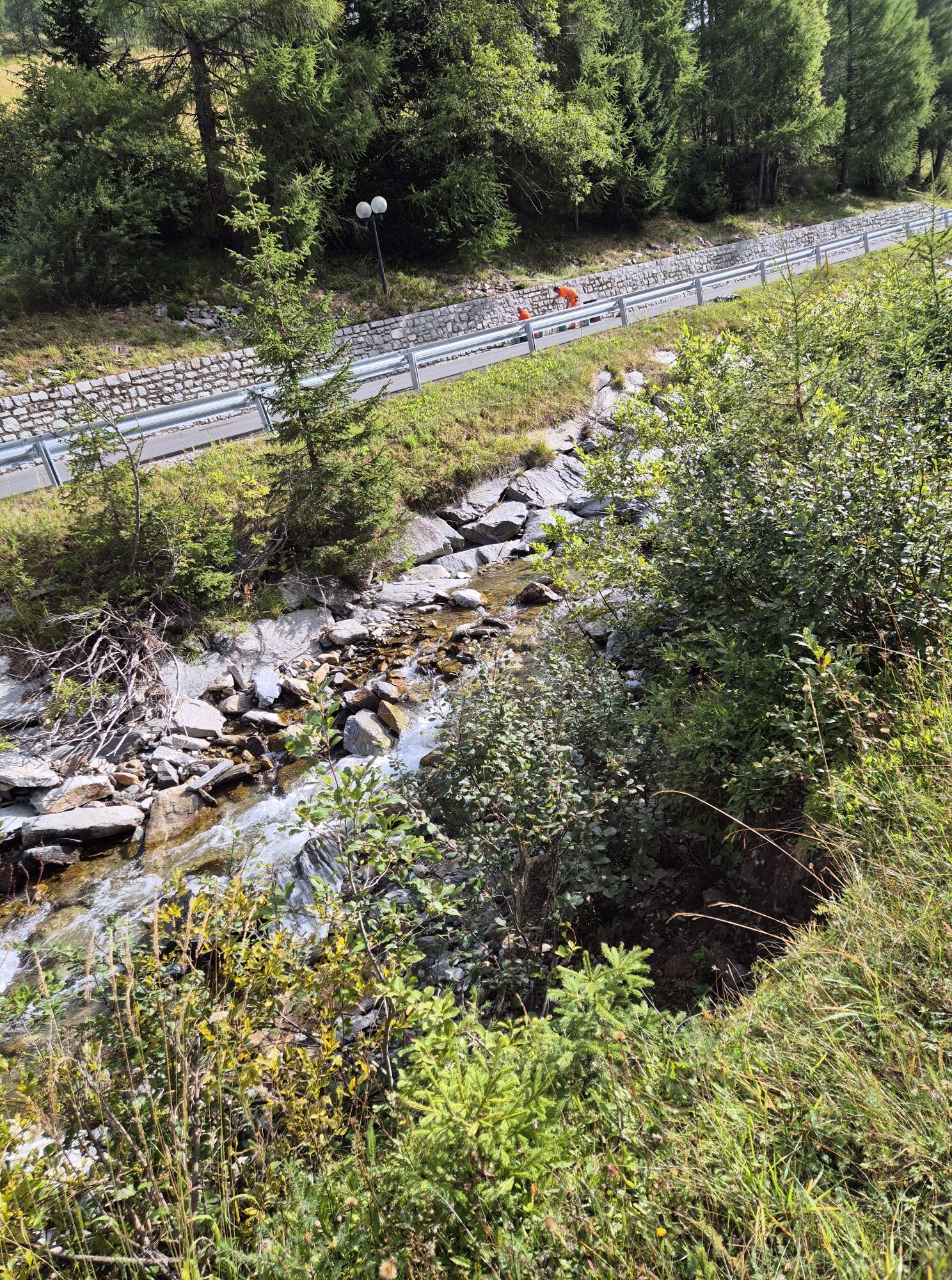
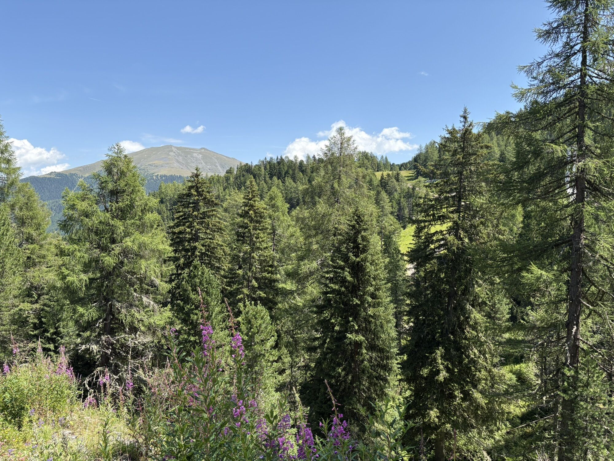
Lutterneck
(1 438 m)
Couloir/terrain
49,4 km
Knabnkraut
(1 455 m)
Couloir/terrain
49,5 km
Sunnawend
(1 469 m)
Couloir/terrain
49,7 km
Schworzpår
(1 610 m)
Couloir/terrain
51,0 km
Kronawet
(1 672 m)
Couloir/terrain
51,7 km
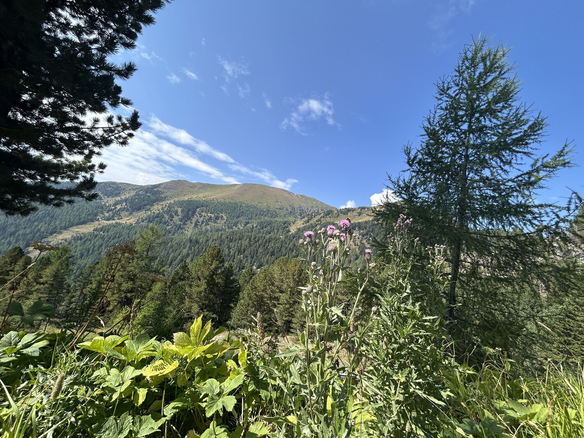
Tomtegl
(1 726 m)
Couloir/terrain
52,8 km
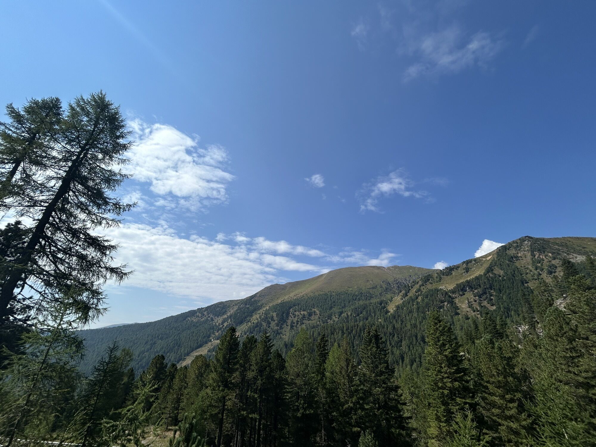
Kråftroasn
(1 845 m)
Couloir/terrain
53,7 km
Reidn 45
(1 885 m)
Couloir/terrain
54,3 km
Almnagl
(1 949 m)
Couloir/terrain
55,0 km
Moastwurz
(1 962 m)
Couloir/terrain
55,2 km
Benediktwurz
(1 985 m)
Couloir/terrain
55,5 km
Glockenbluaman
(1 994 m)
Couloir/terrain
55,6 km
Glockenhütte
(2 024 m)
Restaurant
55,9 km
Hadachkraut
(1 991 m)
Couloir/terrain
56,4 km
Guggahåntschn
(1 983 m)
Couloir/terrain
56,5 km
Buxbam
(1 958 m)
Couloir/terrain
56,8 km
Gamshadach
(1 939 m)
Couloir/terrain
57,1 km
Tomatül
(1 926 m)
Couloir/terrain
57,3 km
Bergwürzl
(1 896 m)
Couloir/terrain
57,6 km
Fingerhuat
(1 882 m)
Couloir/terrain
57,8 km
Plotschn
(1 843 m)
Couloir/terrain
58,2 km
Moorenzian
(1 698 m)
Couloir/terrain
59,9 km
Quendl
(1 534 m)
Couloir/terrain
62,5 km
Pestwurz
(1 542 m)
Couloir/terrain
62,7 km
Jagarbrot
(1 563 m)
Couloir/terrain
62,8 km
Schustar-Nagl
(1 576 m)
Couloir/terrain
63,0 km
Labkraut
(1 598 m)
Couloir/terrain
63,2 km
Seidlbåst
(1 610 m)
Couloir/terrain
63,3 km
Winkl
(1 697 m)
Village
64,8 km
Sarwinkl
(1 685 m)
Couloir/terrain
64,9 km
Kapelle
(1 685 m)
Lieu de culte
64,9 km
Pippan
(1 698 m)
Couloir/terrain
65,1 km
Wegarich
(1 712 m)
Couloir/terrain
65,4 km
Lärchn
(1 755 m)
Couloir/terrain
65,8 km
Sunnroasn
(1 778 m)
Couloir/terrain
66,0 km
Stoan-Nagl
(1 878 m)
Couloir/terrain
67,0 km
Bärntåzn
(1 911 m)
Couloir/terrain
67,5 km
Bacher-Reidn
(1 924 m)
Couloir/terrain
67,7 km
Kaisertee
(1 975 m)
Couloir/terrain
68,1 km
Bluatströpferl
(1 983 m)
Couloir/terrain
68,4 km
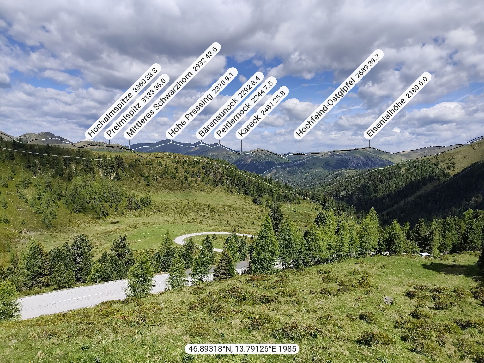
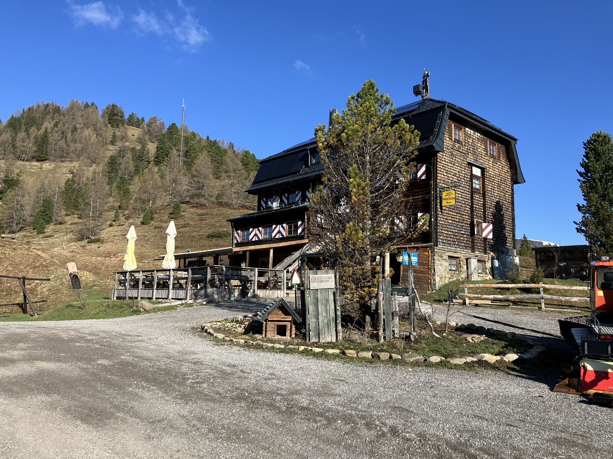
Jausenstation "Eisentalhöhe"
(2 048 m)
Restaurant
69,0 km
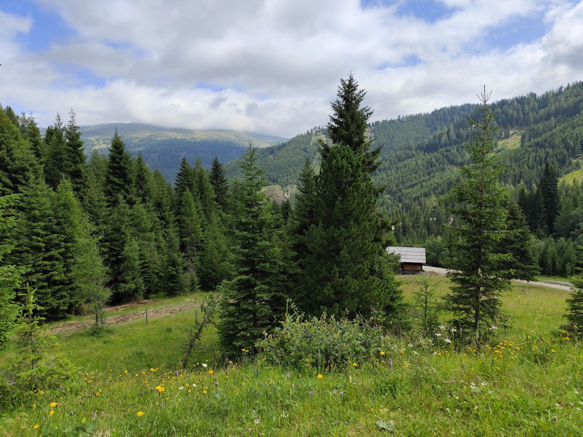
Pfandlhütte
(1 860 m)
Restaurant
72,0 km
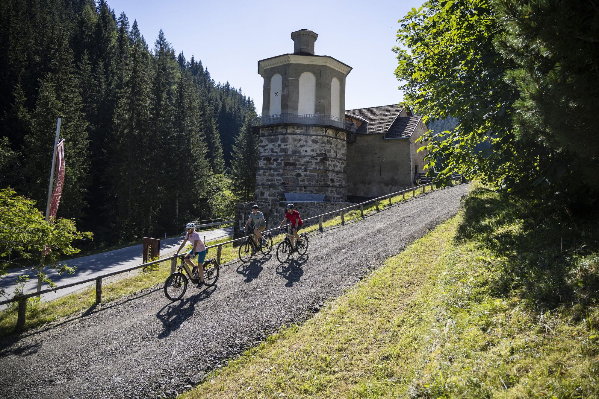
Nockalmhof
(1 702 m)
Couloir/terrain
74,4 km
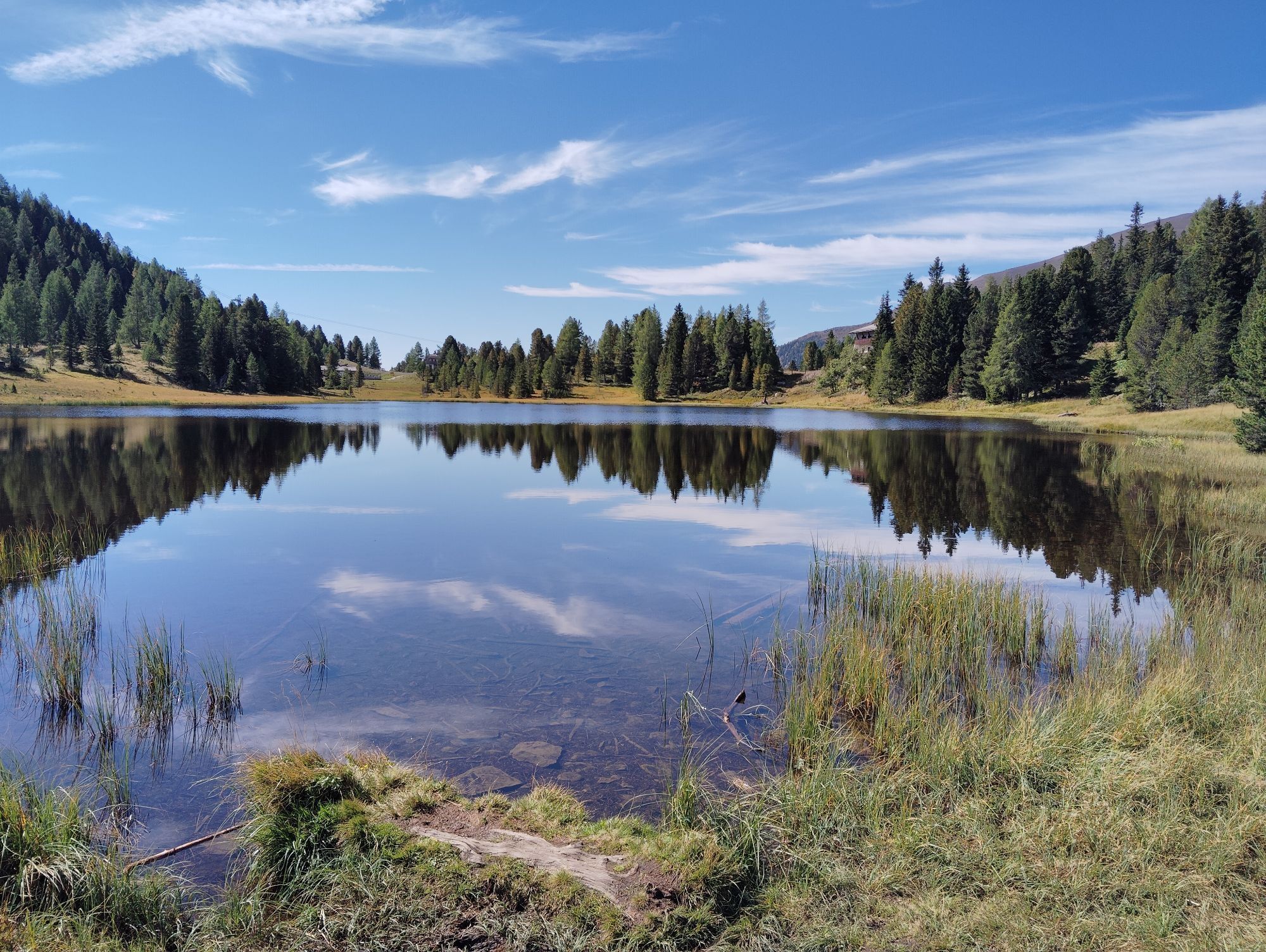
Innerkrems
(1 481 m)
Village
76,9 km
Einkehr
(1 582 m)
Restaurant
79,3 km
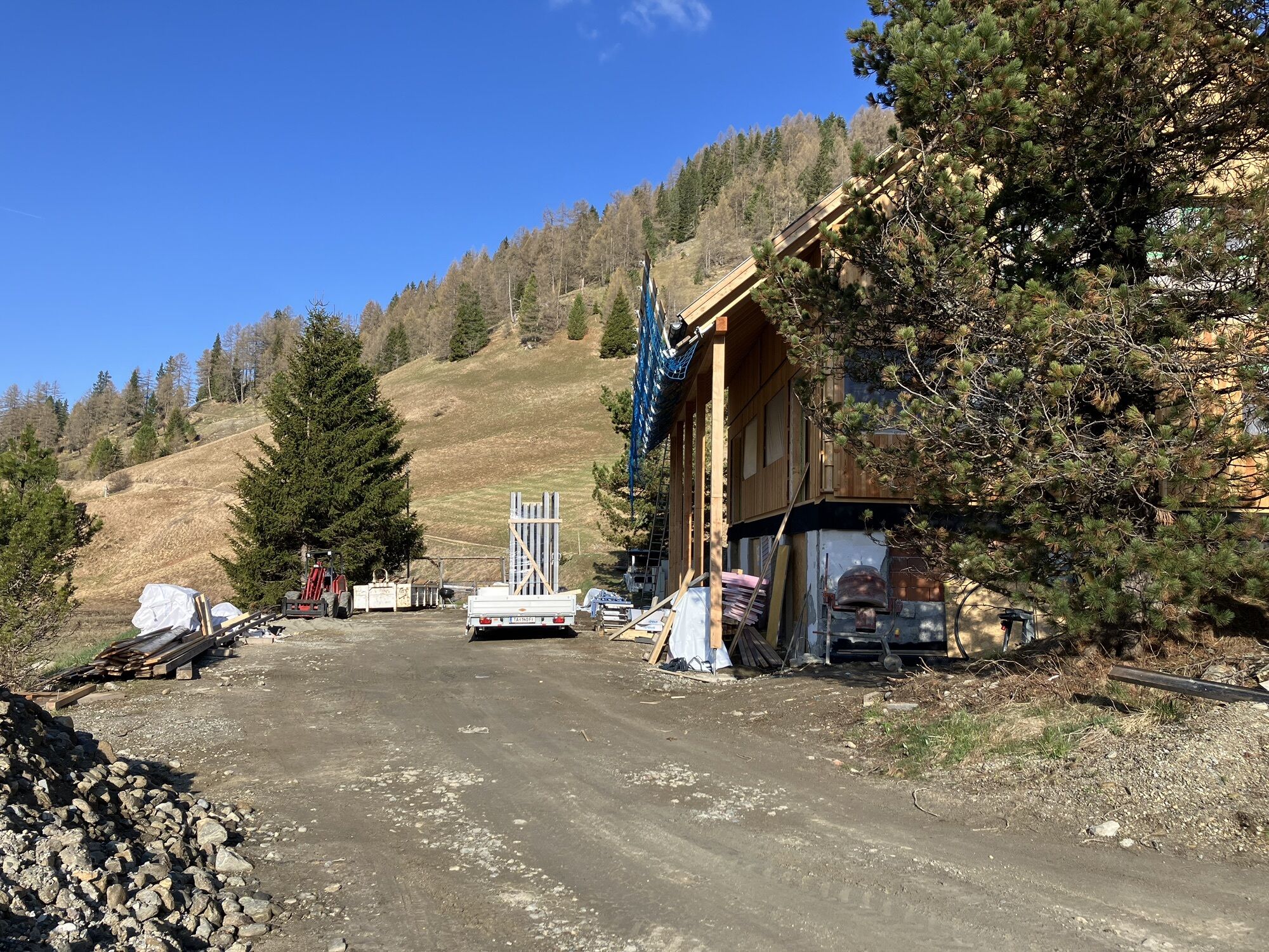
Dr.Josef-Mehrl-Hütte
(1 730 m)
Refuge
81,9 km
Schönfeldsattel
(1 741 m)
Col de montagne
82,3 km
Schönfeld
(1 727 m)
Lotissement
82,7 km
Heilige Familie in der Zirbe
(1 661 m)
Lieu de culte
85,2 km
Hubertuskapelle
(1 324 m)
Lieu de culte
91,8 km
Bundschuh
(1 282 m)
Lotissement
92,6 km
Évaluations
Webcams de la tournée
-
Turrachbahn Bergstation
-
Aineck Mittelstation
-
Kornockbahn Bergstation
-
Schoberriegel
-
Sport Schiffer - Innerkrems
-
Golfplatz St. Michael
-
Bad Kleinkirchheim - Brunnach
-
Sonnlift - Heidi Alm Bergresort Falkert
-
Turracherhöhe/Hirschkogel
-
Kendlbruck - Ramingstein
-
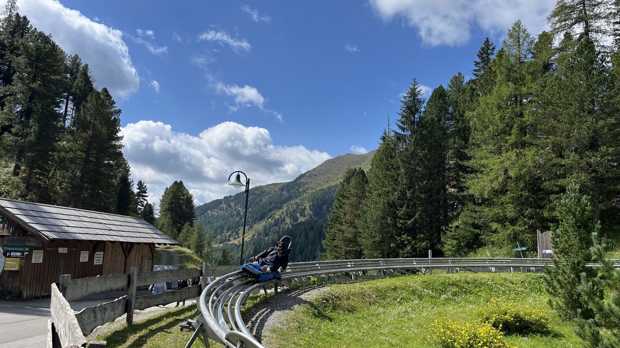
Sommerrodelbahn Katschberg
-
Turracherhöhe Weitentallift
-
Turracherhöhe - Panoramabahn
-
Bergbahnen Turracher Höhe
-
Aineck Mittelstation
-
Falkert Nord
-
Heidi-Chalets
-
Zechneralm
-
Hotel Grizzly
-
Almzeithütte
-
Turrachbahn Bergstation
-
Bad Kleinkirchheim - Brunnach
-
Schönfeld
-
Innerkrems
-
B95 Turracher Höhe
Parcours populaires à proximité
-
4,6
Turracher 3 Seen Weg - Weg der Sinne zwischen Berg & See
facileChemin thématique 7,15 km -
4,8
Schoberriegel - Schönebennock -
facileRandonnée 9,88 km -
3,9
Schlögelbergrundweg Nr. 82 (Wasserweg Leisnitz)
moyenRandonnée 5,15 km -
4,8
Nockbergrundwanderweg
moyenRandonnée 6,62 km -
4,8
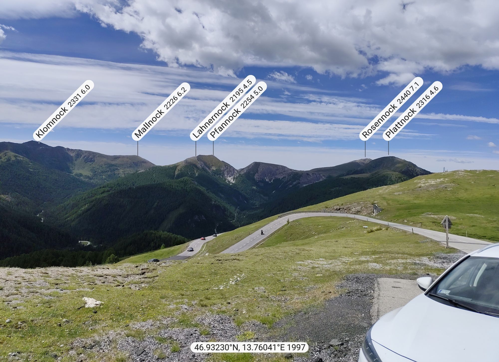
Große Rosennock Runde
Randonnée 9,80 km -
4,9
St. Oswald - randonnée circulaire - Mallnock - Klomnock
moyenRandonnée 10,9 km -
4,6
Falkertsee - Sonntagstal - Falkert
moyenRandonnée 4,84 km -
4,7
Falkert, Murmelsteig B/C mit Direktem Abstieg
moyenVia ferrata 3,61 km -
4,9
Gr. Königsstuhl, Nockalm, Kärnten
moyenRandonnée en montagne 7,15 km -
4,8
Schönfeld: Großer Königstuhl
moyenRandonnée 11,2 km
Randonnée et suivi

Plus de 550.000 propositions de circuits, des cartes détaillées et un planificateur d'itinéraire intuitif font de cette application un must pour tous les passionnés de nature.

Ne manquez pas les offres et l'inspiration pour vos prochaines vacances
S'inscrire à la newsletter
Erreur
Une erreur s'est produite. Veuillez réessayer.
Merci pour votre inscription
Votre adresse électronique a été ajouté à la liste de diffusion.
Parcours en Europe
Autriche
Suisse
Allemagne
Italie
Slovénie
France
Pays-Bas
Belgique
Pologne
Liechtenstein
République tchèque
Slovaquie
Espagne
Croatie
Bosnie-Herzégovine
Luxembourg
Andorre
Portugal
Islande
Royaume-Uni
Irlande
Grèce
Albanie
Macédoine du Nord
Malte
Norvège
Monténégro
Moldavie
Kosovo
Hongrie
Saint-Marin
Roumanie
Estonie
Lettonie
Bélarus
Chypre
Lituanie
Serbie
Bulgarie
Monaco
Danemark
Suède
Finlande