



Tour de Champions - Freeride World Tour

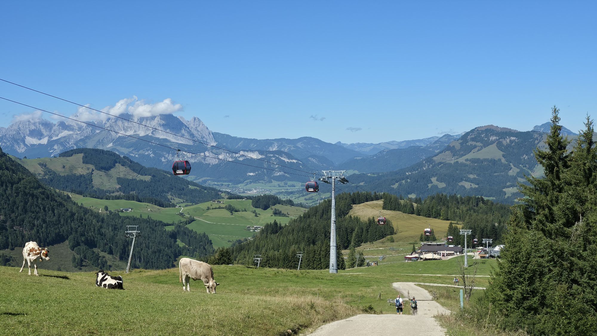
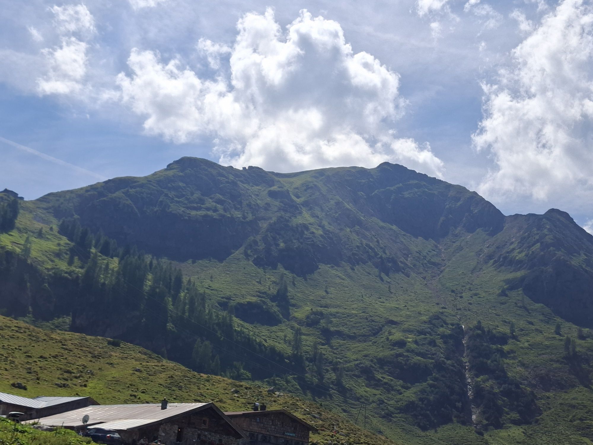
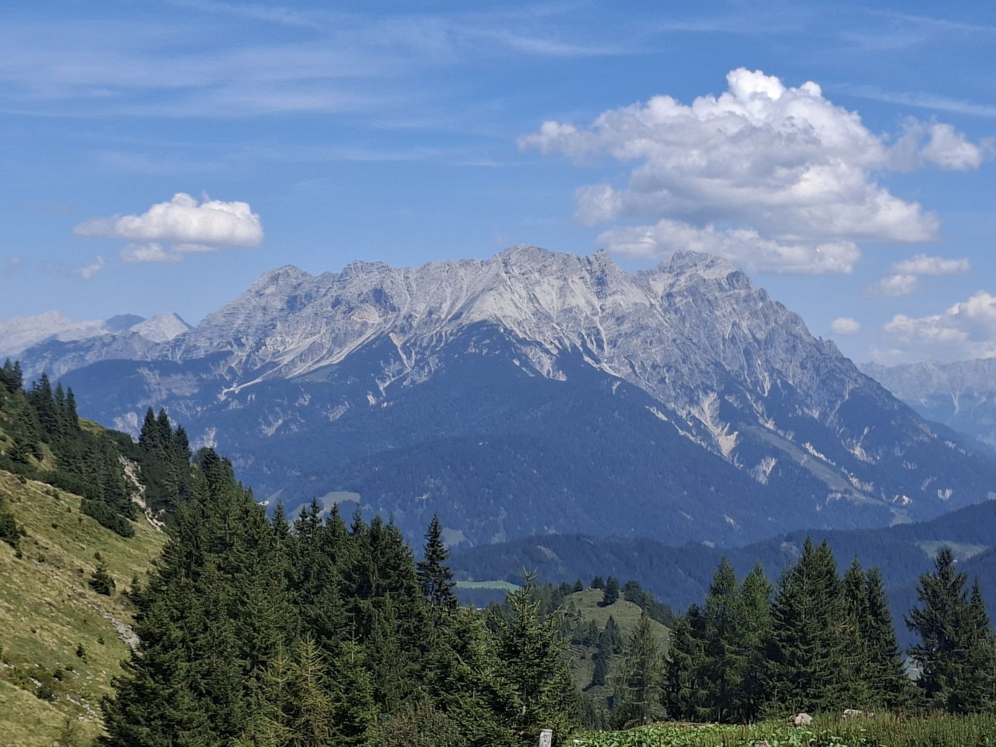
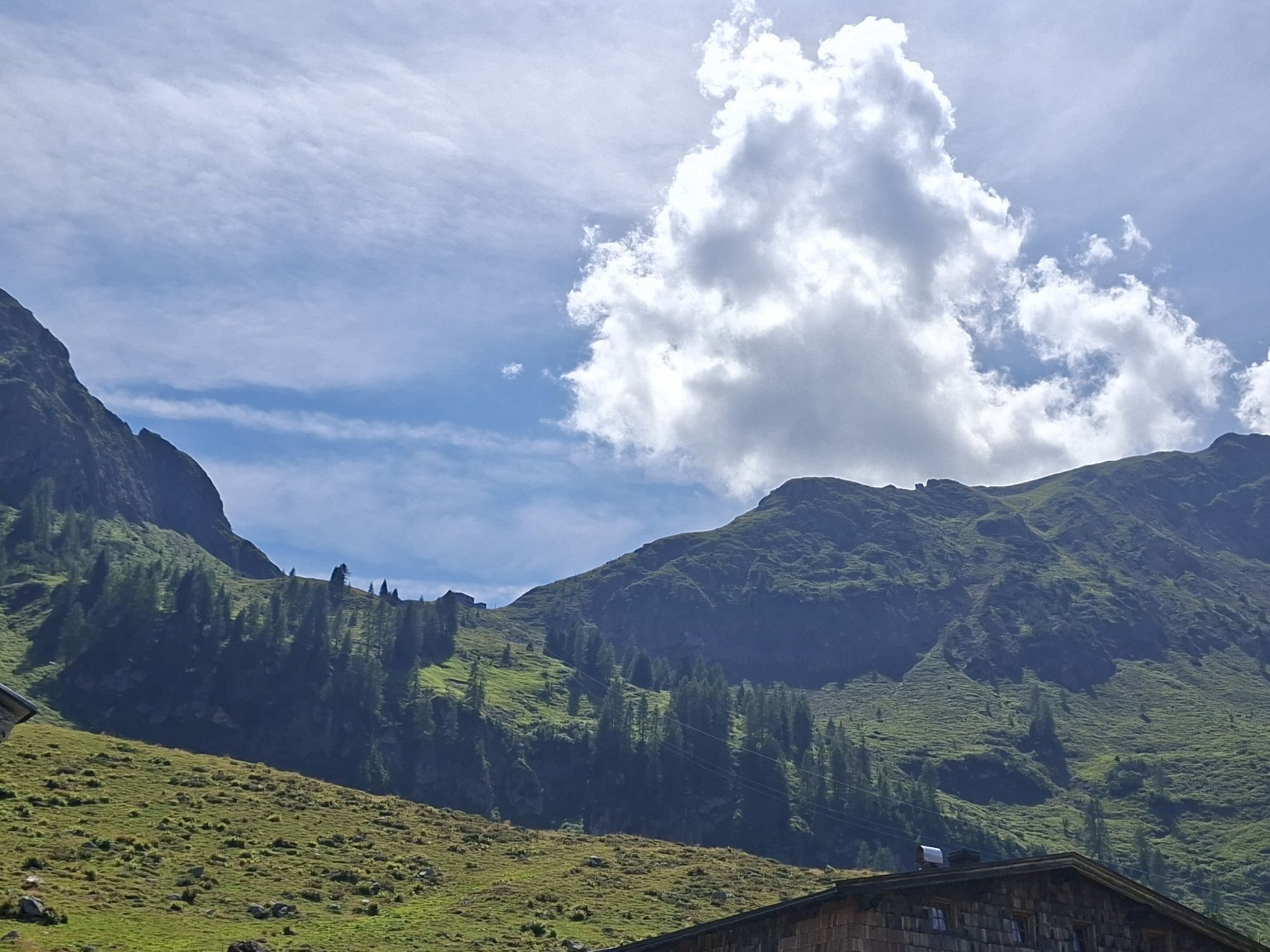
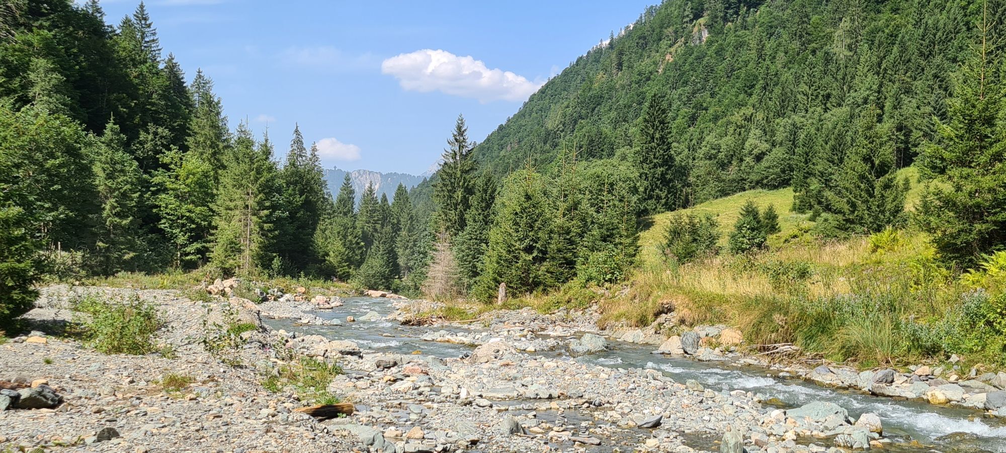
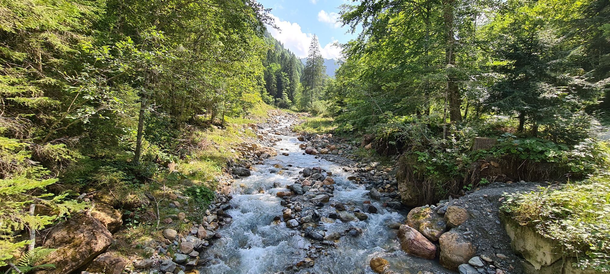
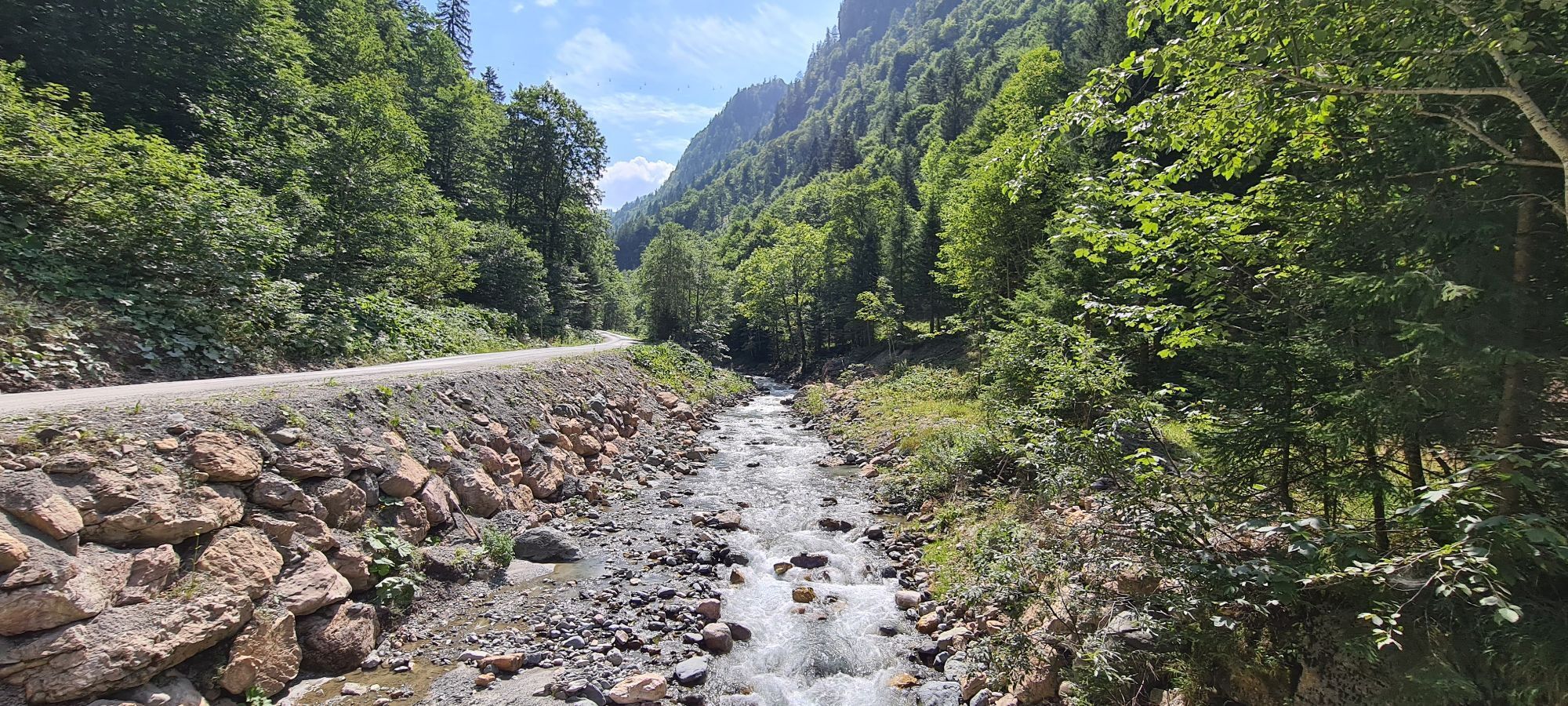
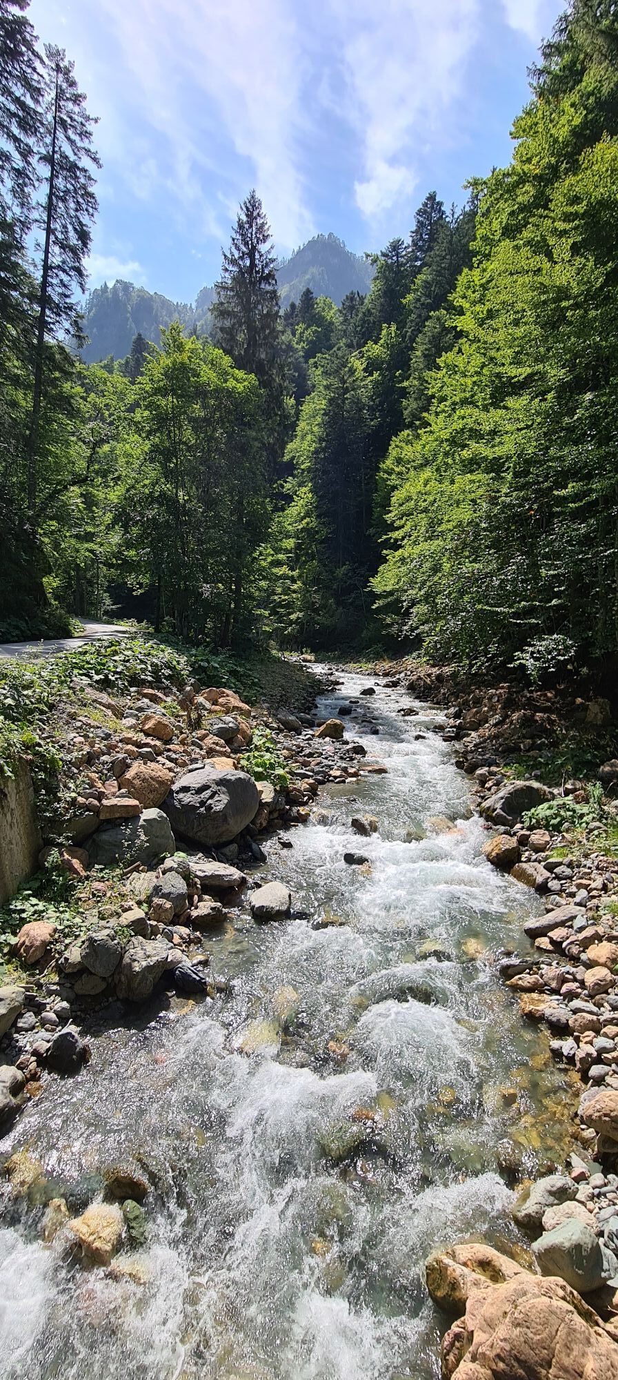
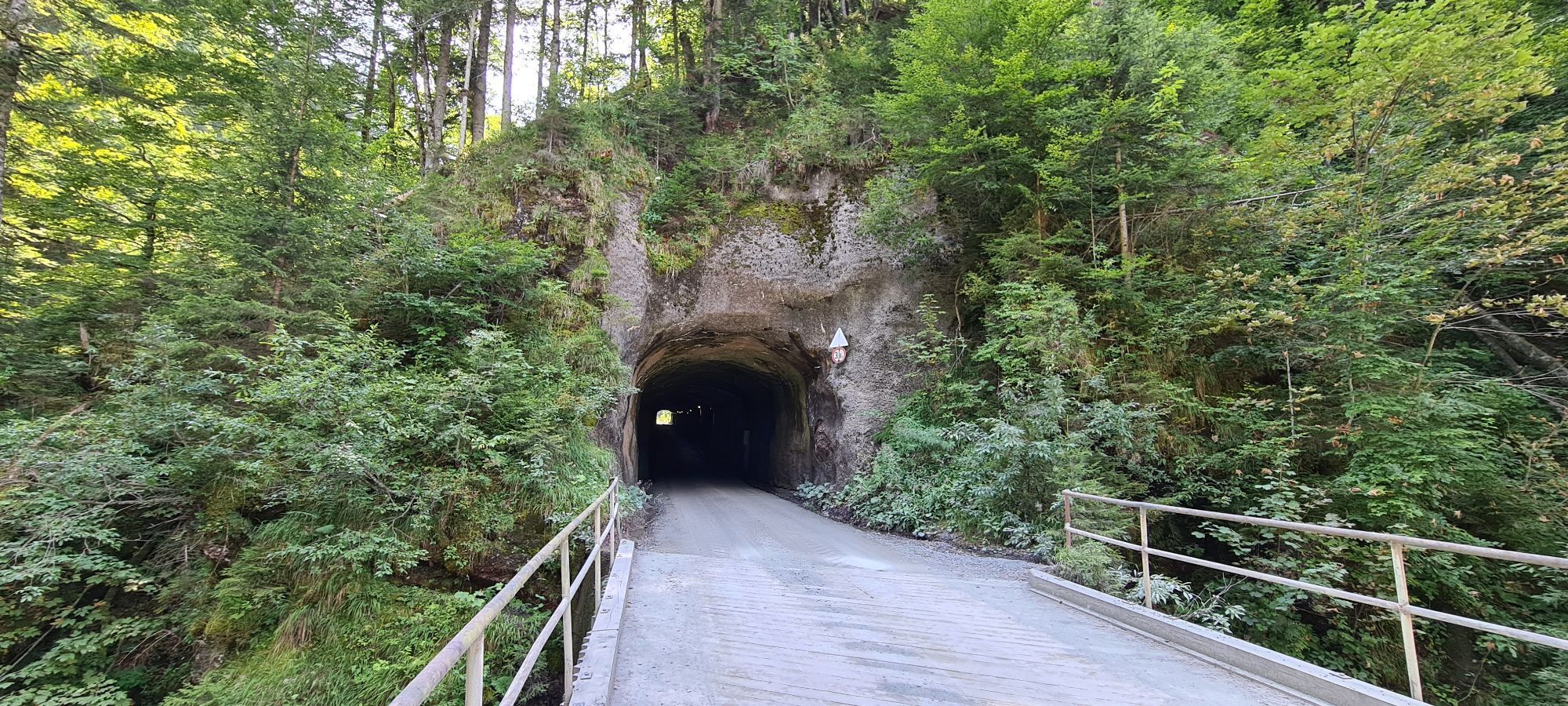
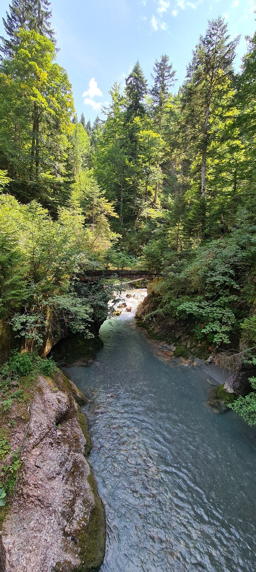
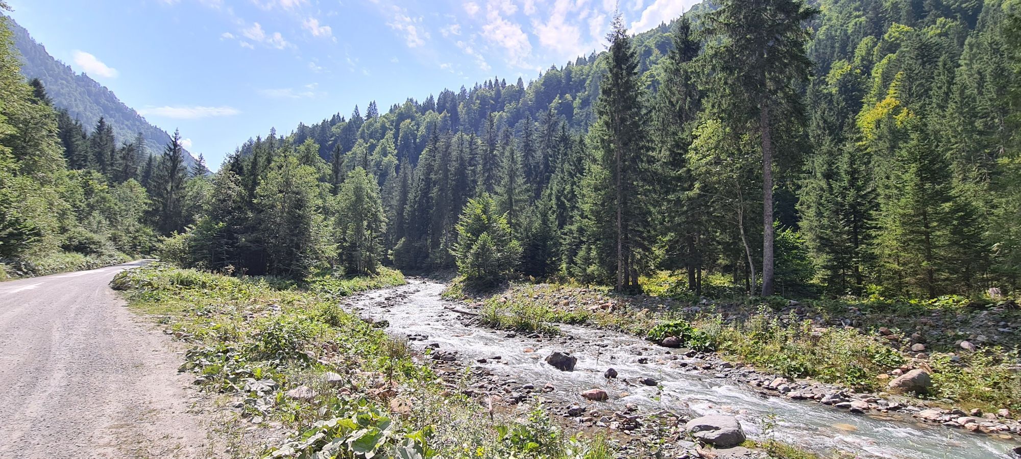
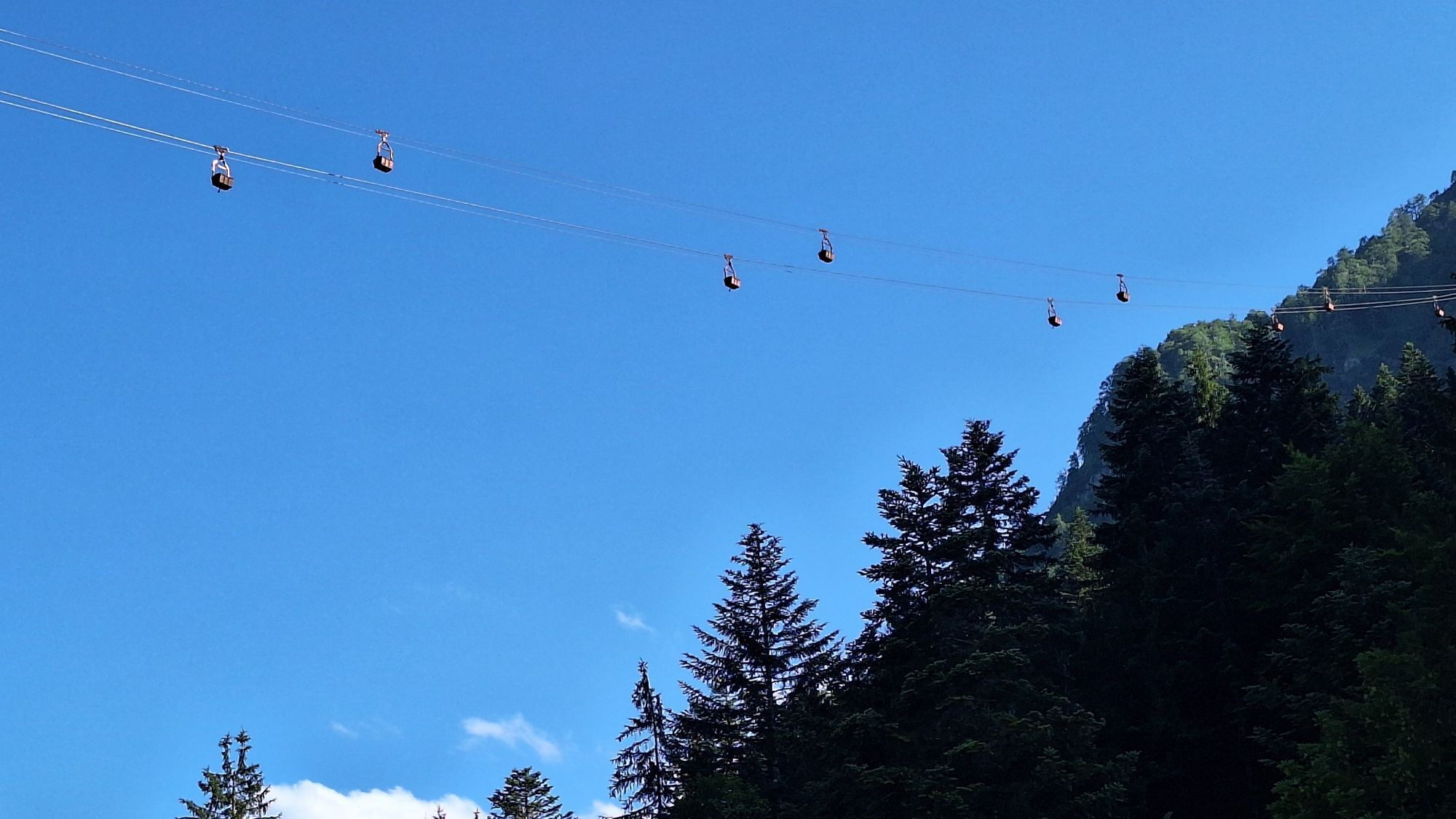
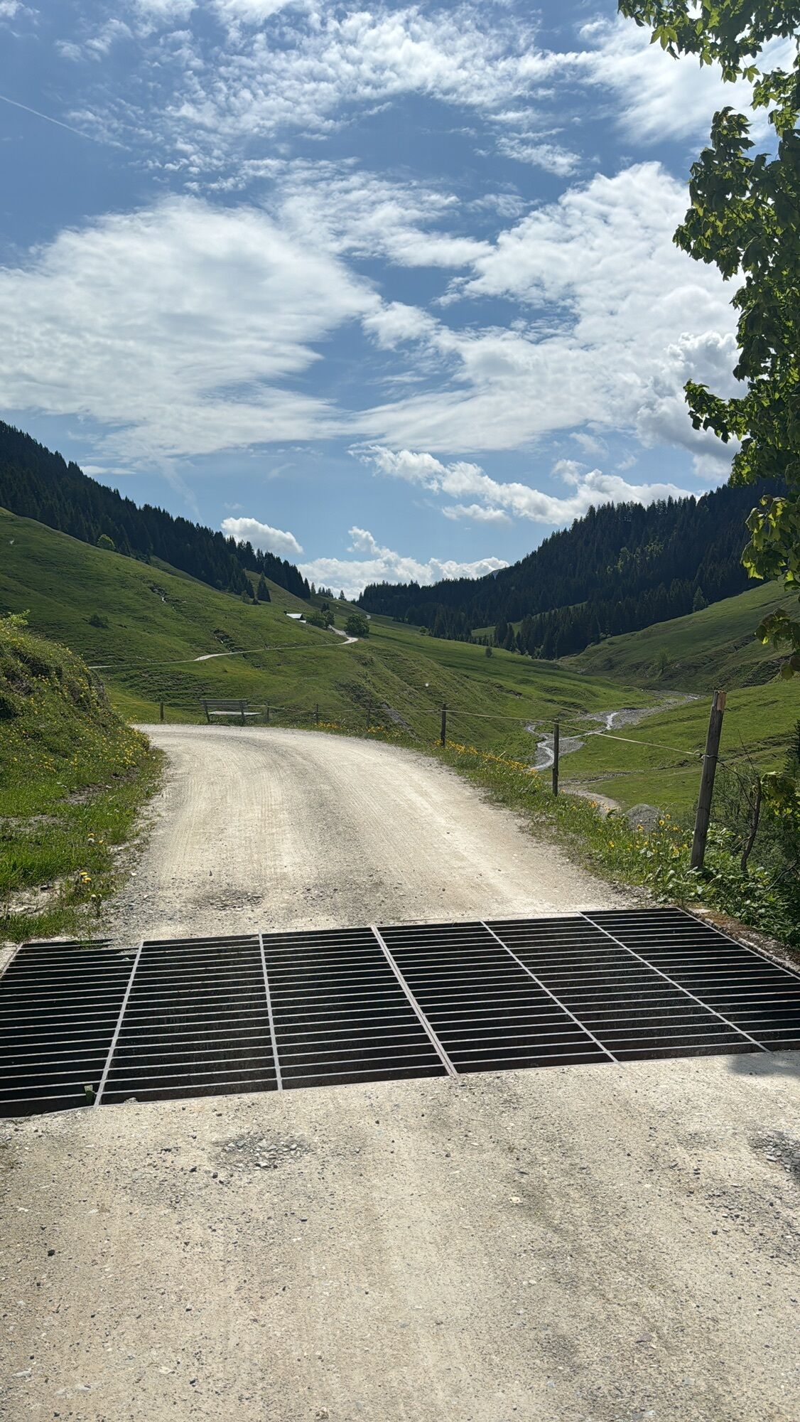
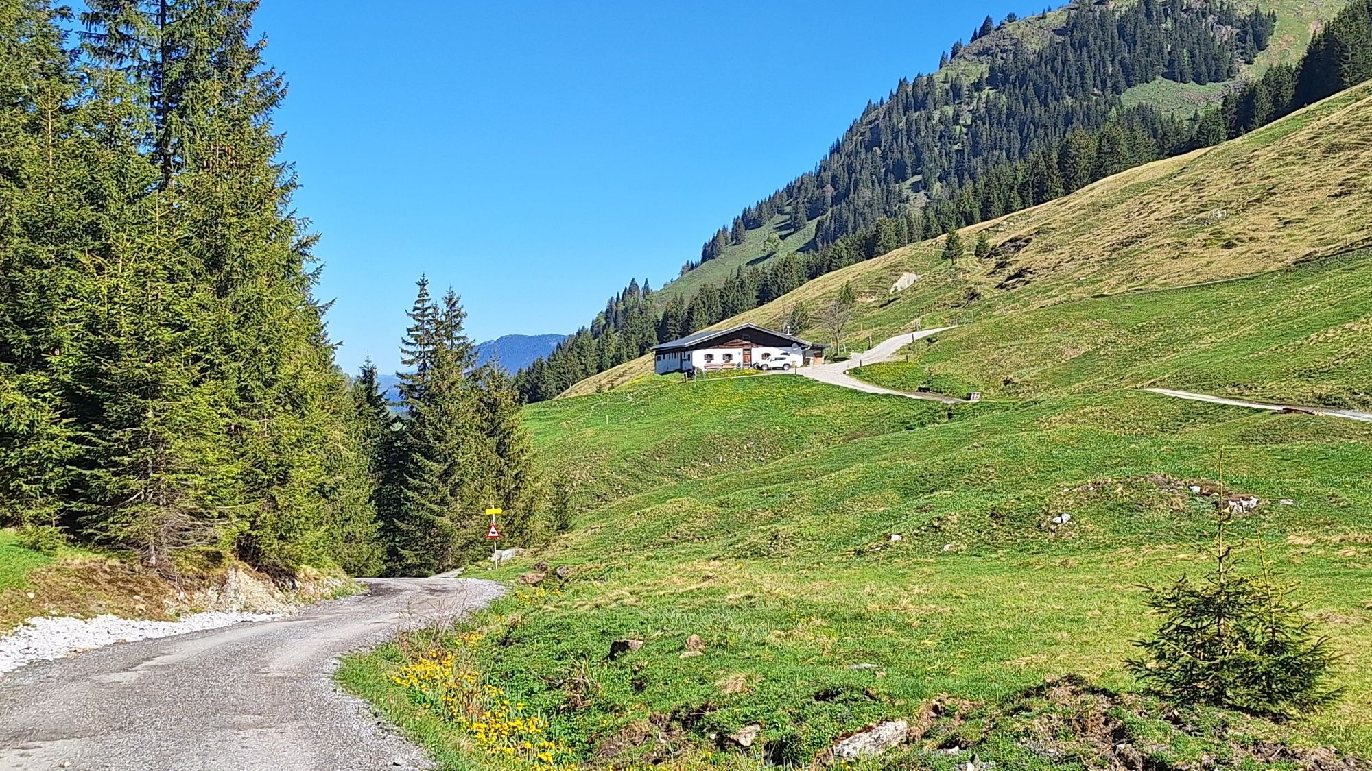
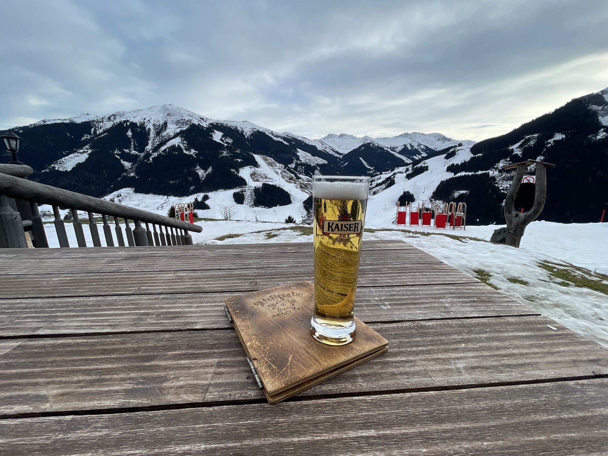
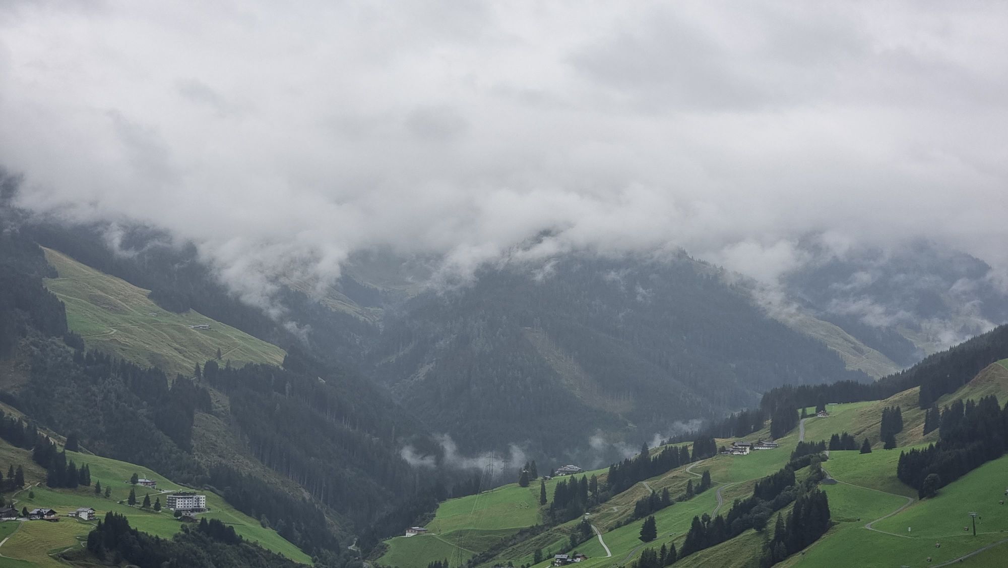
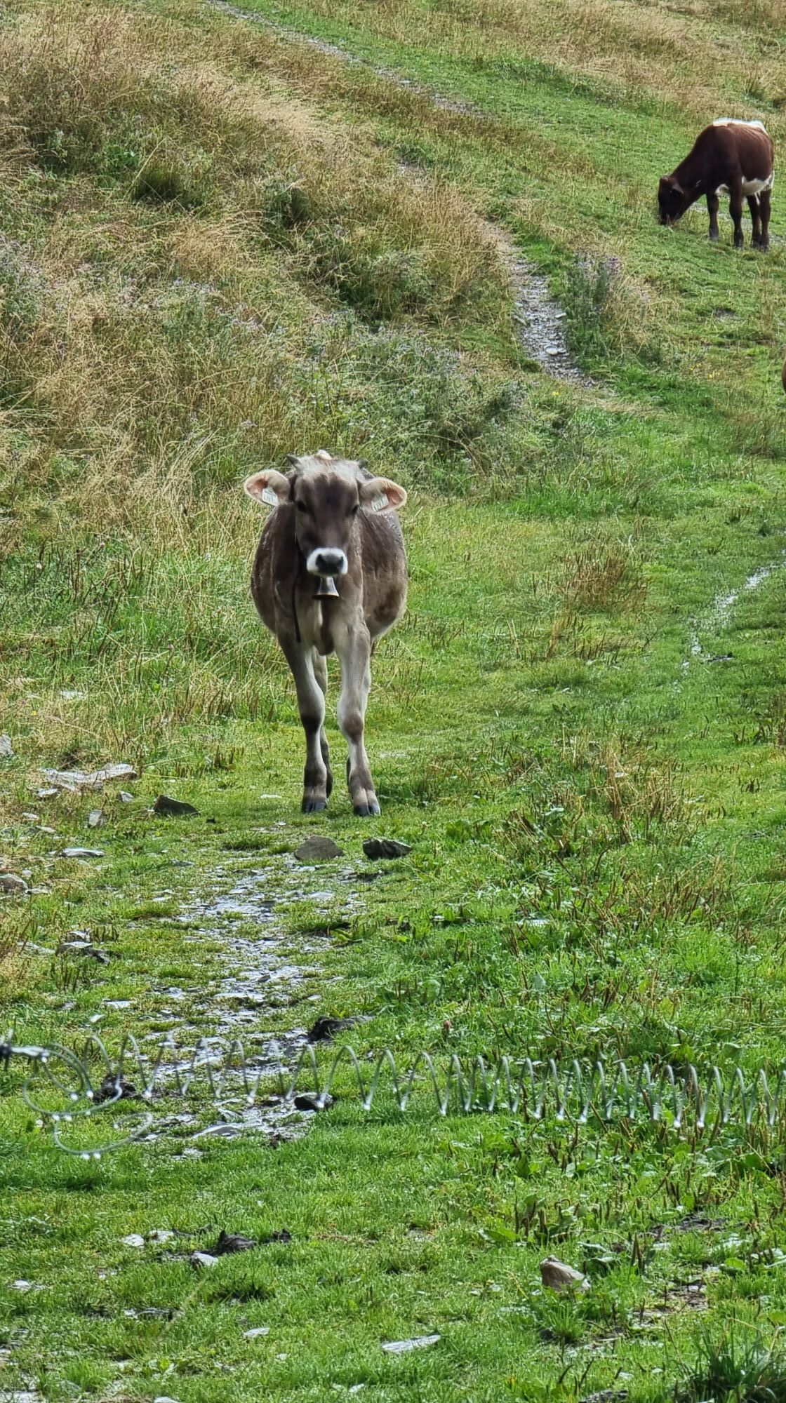
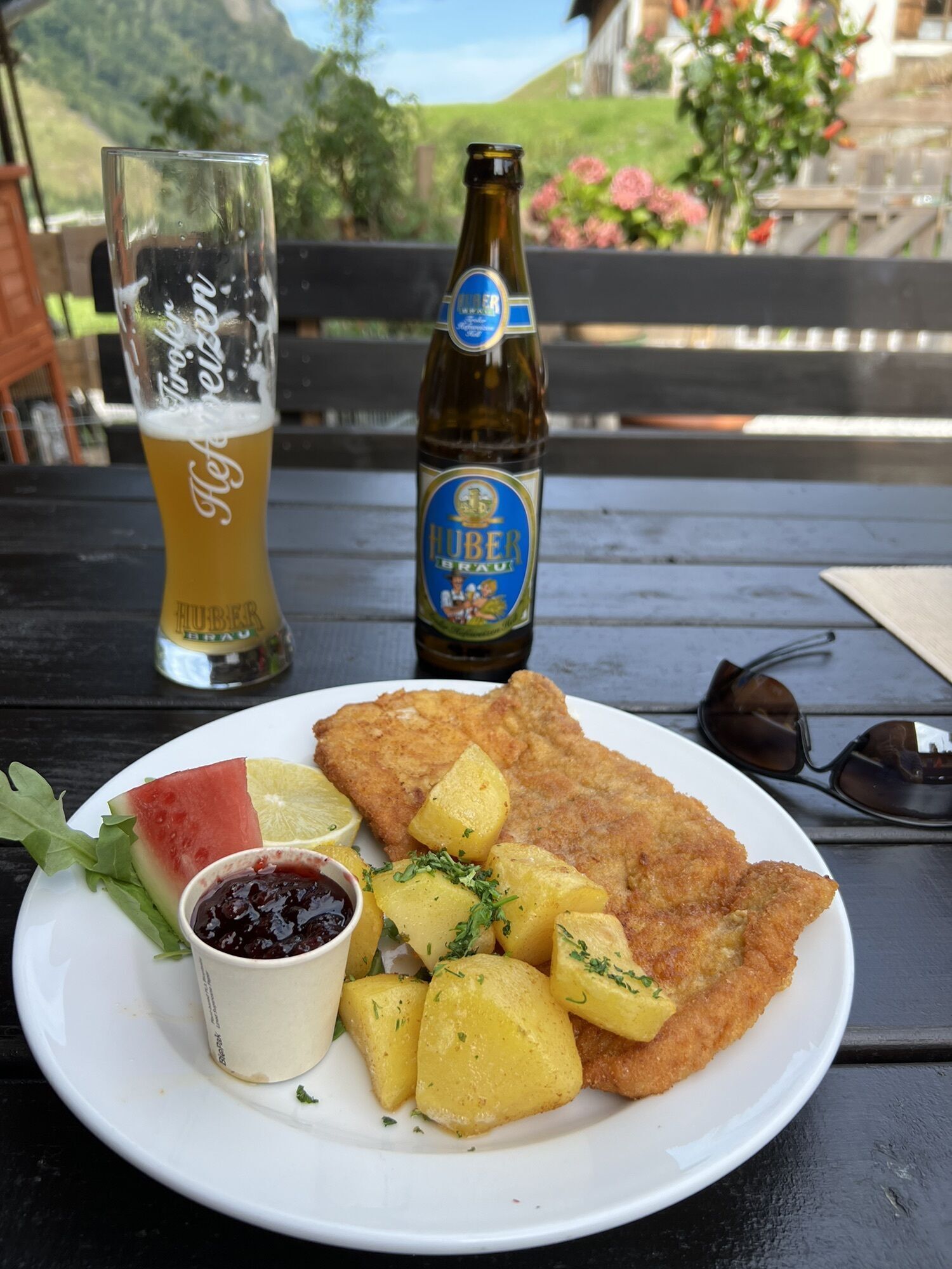
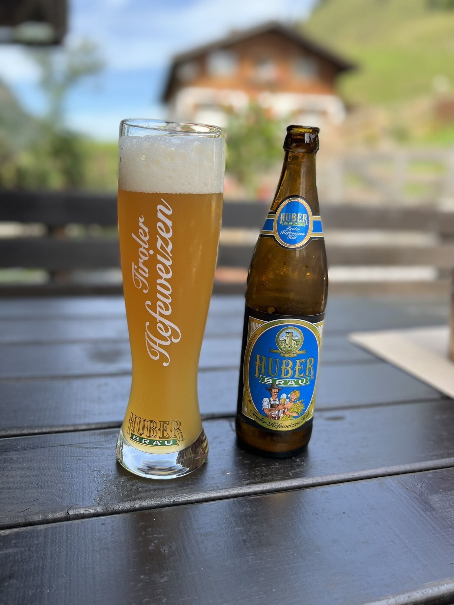
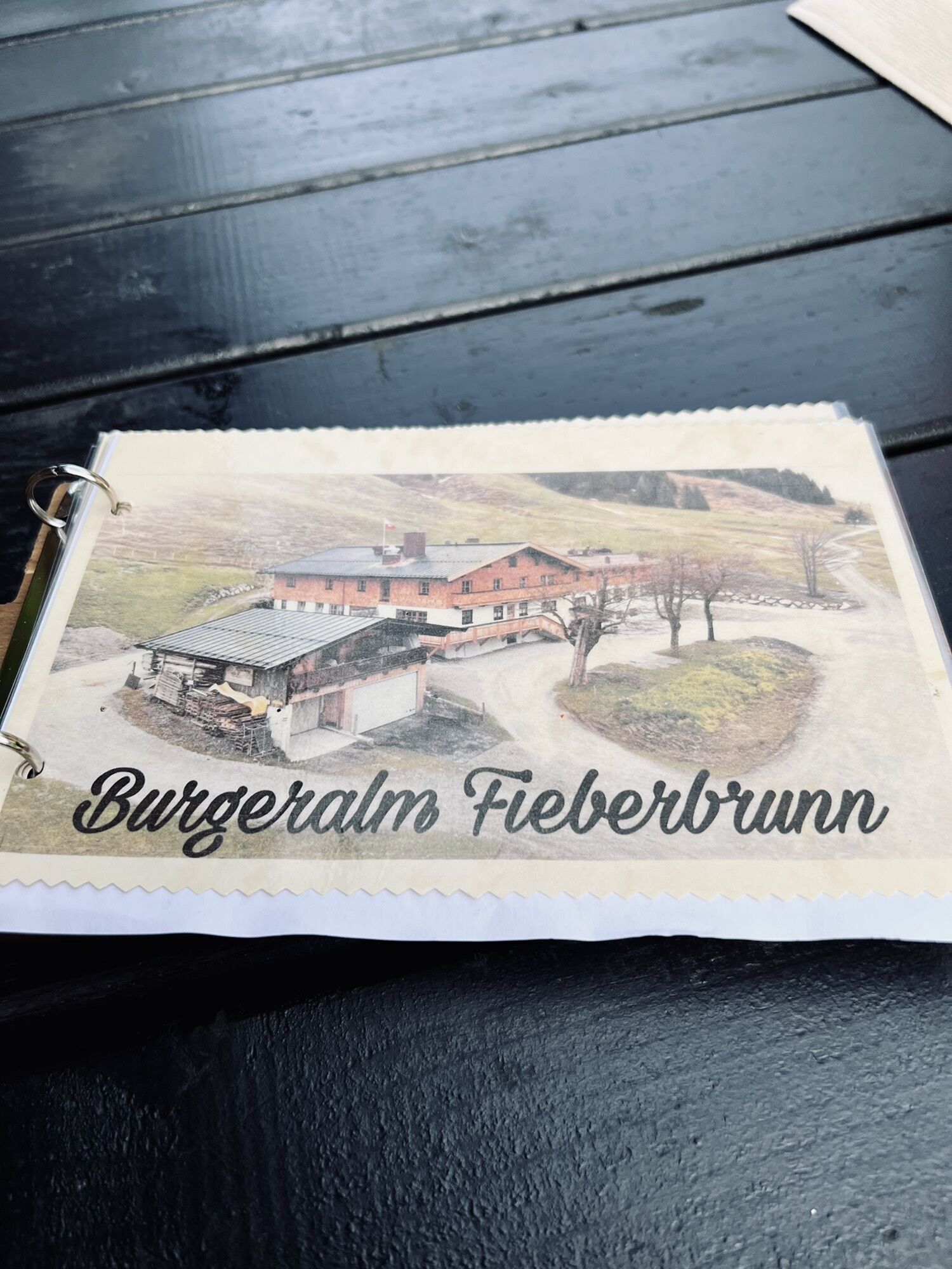
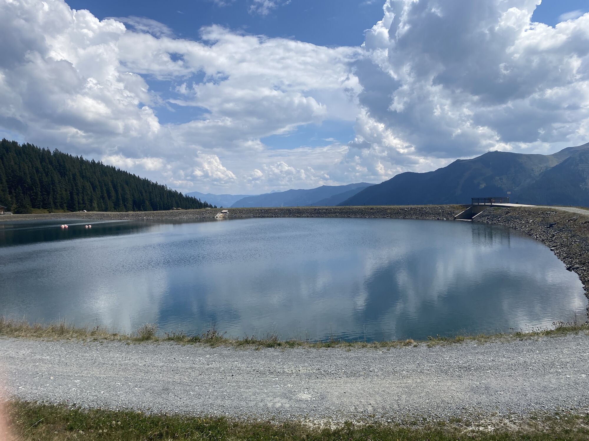
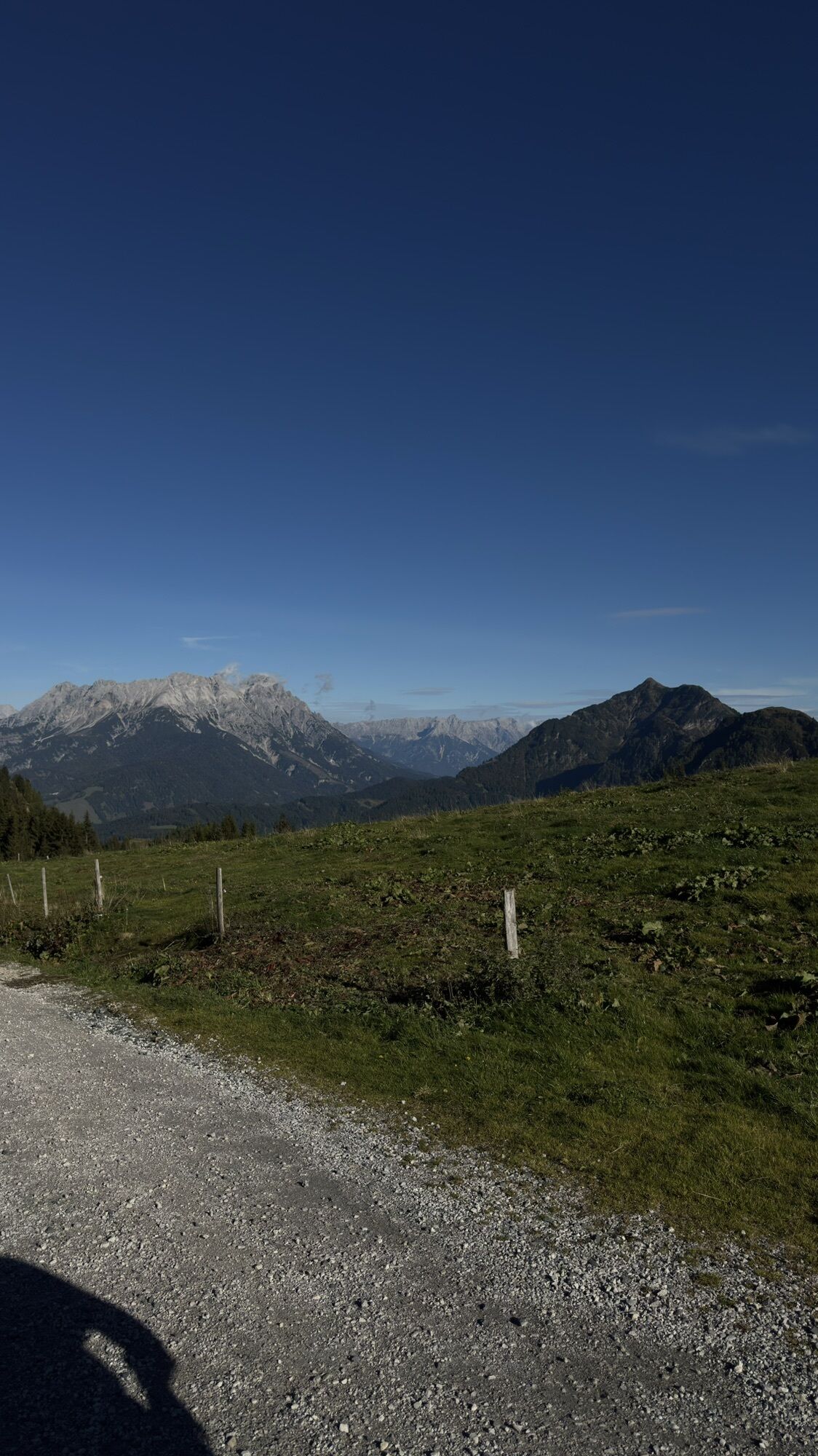
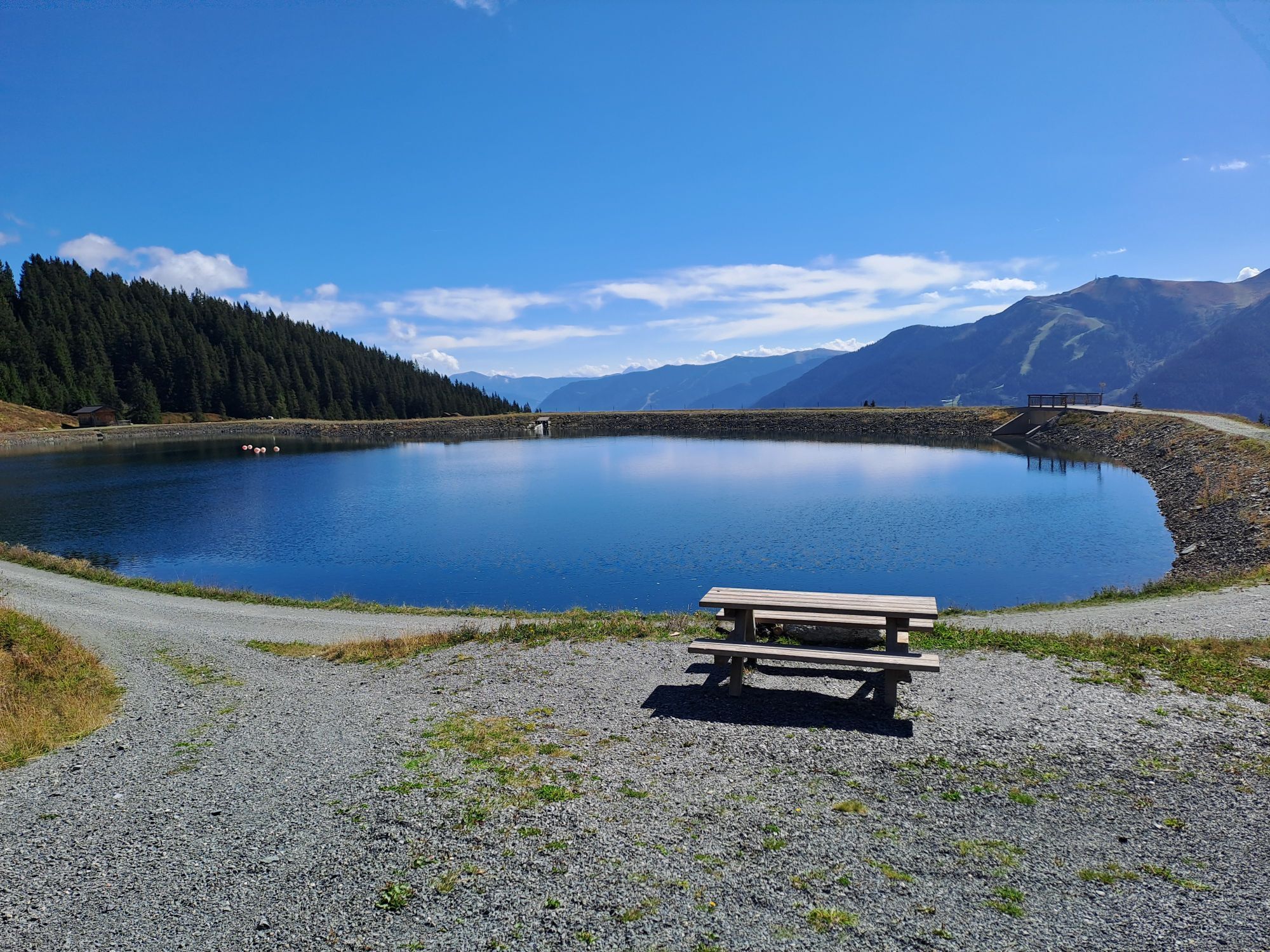
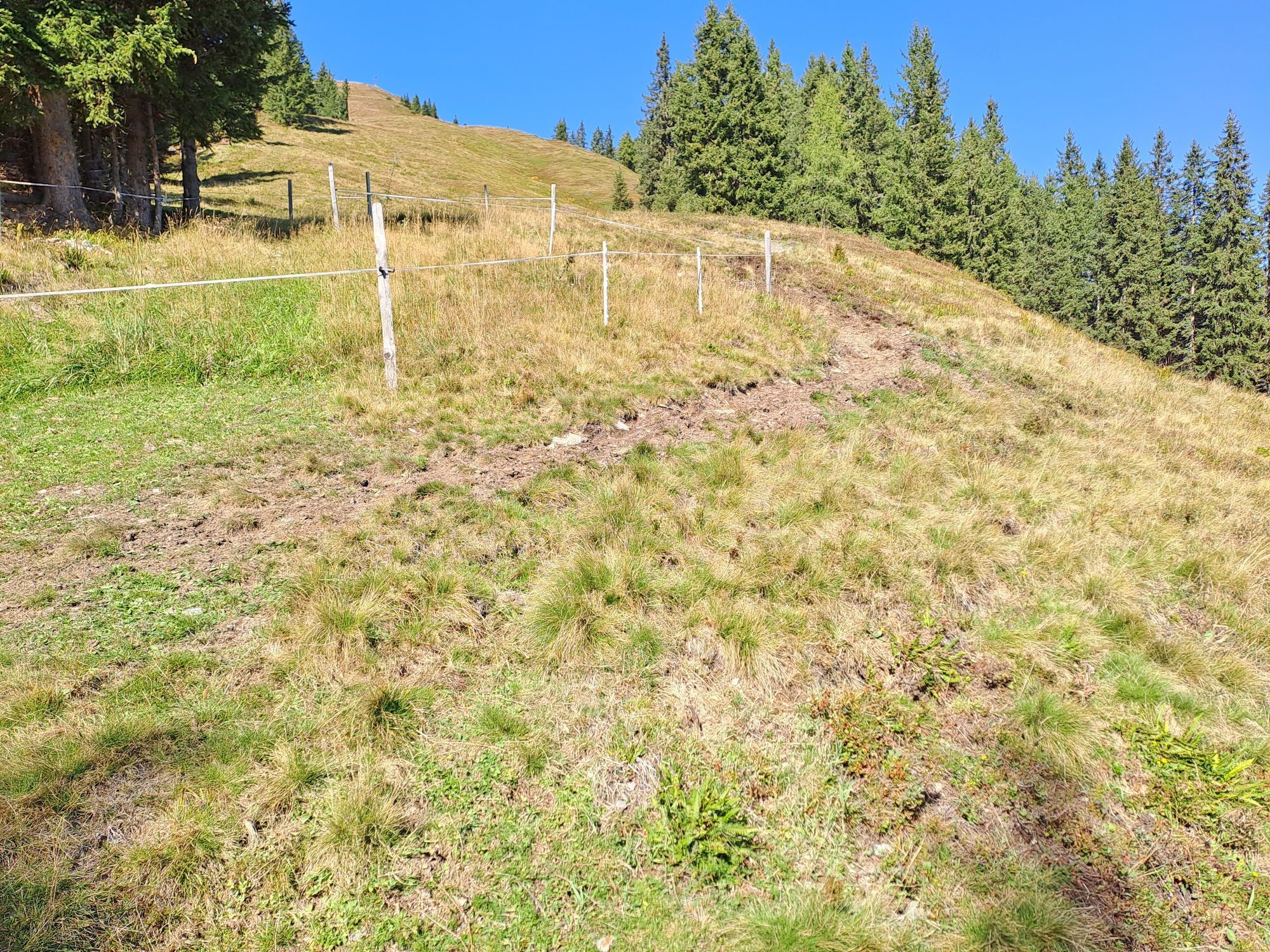
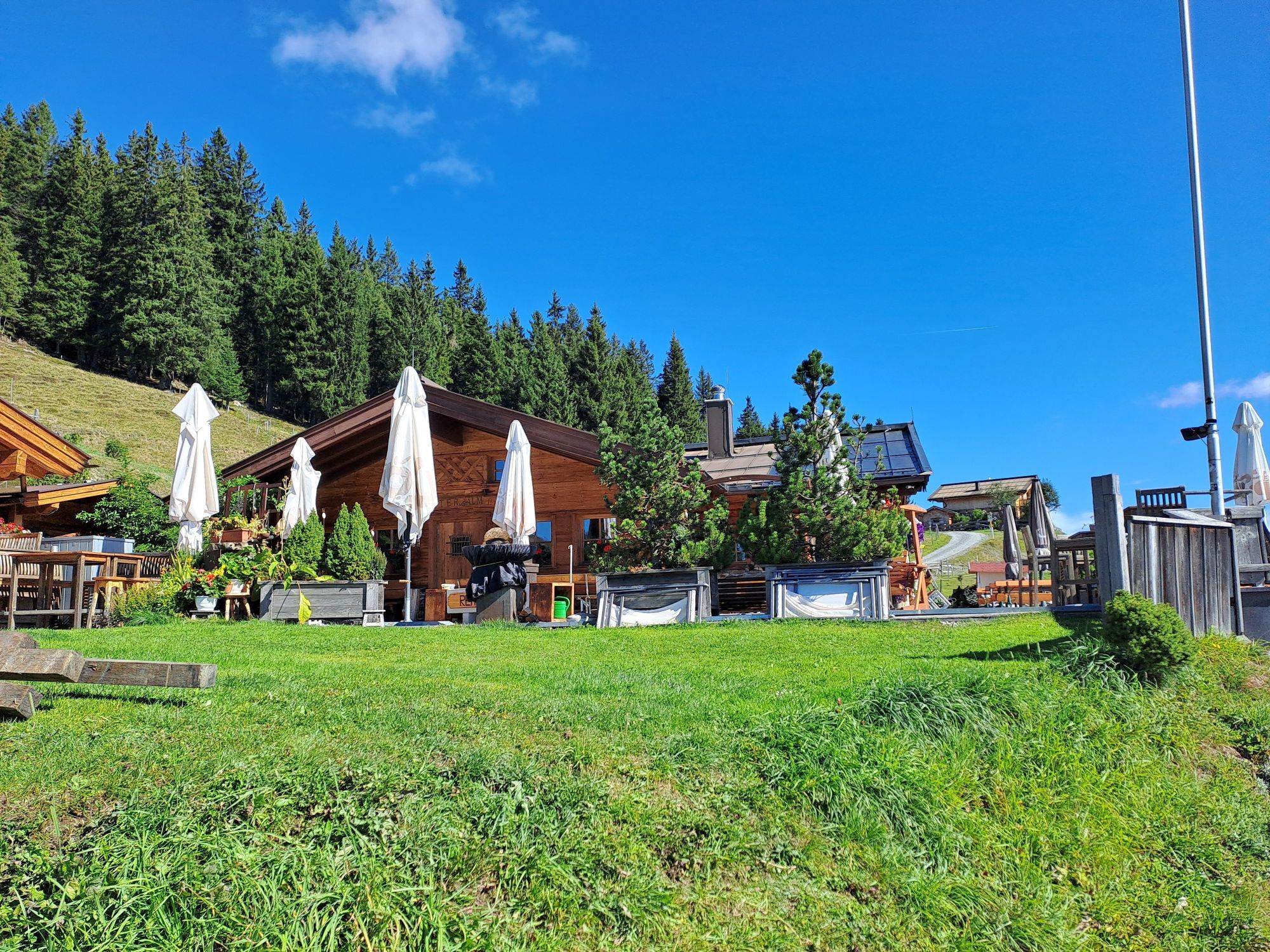
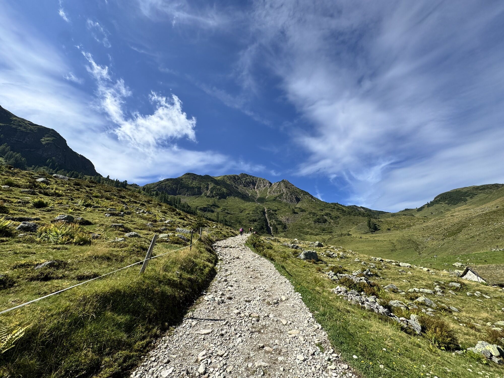
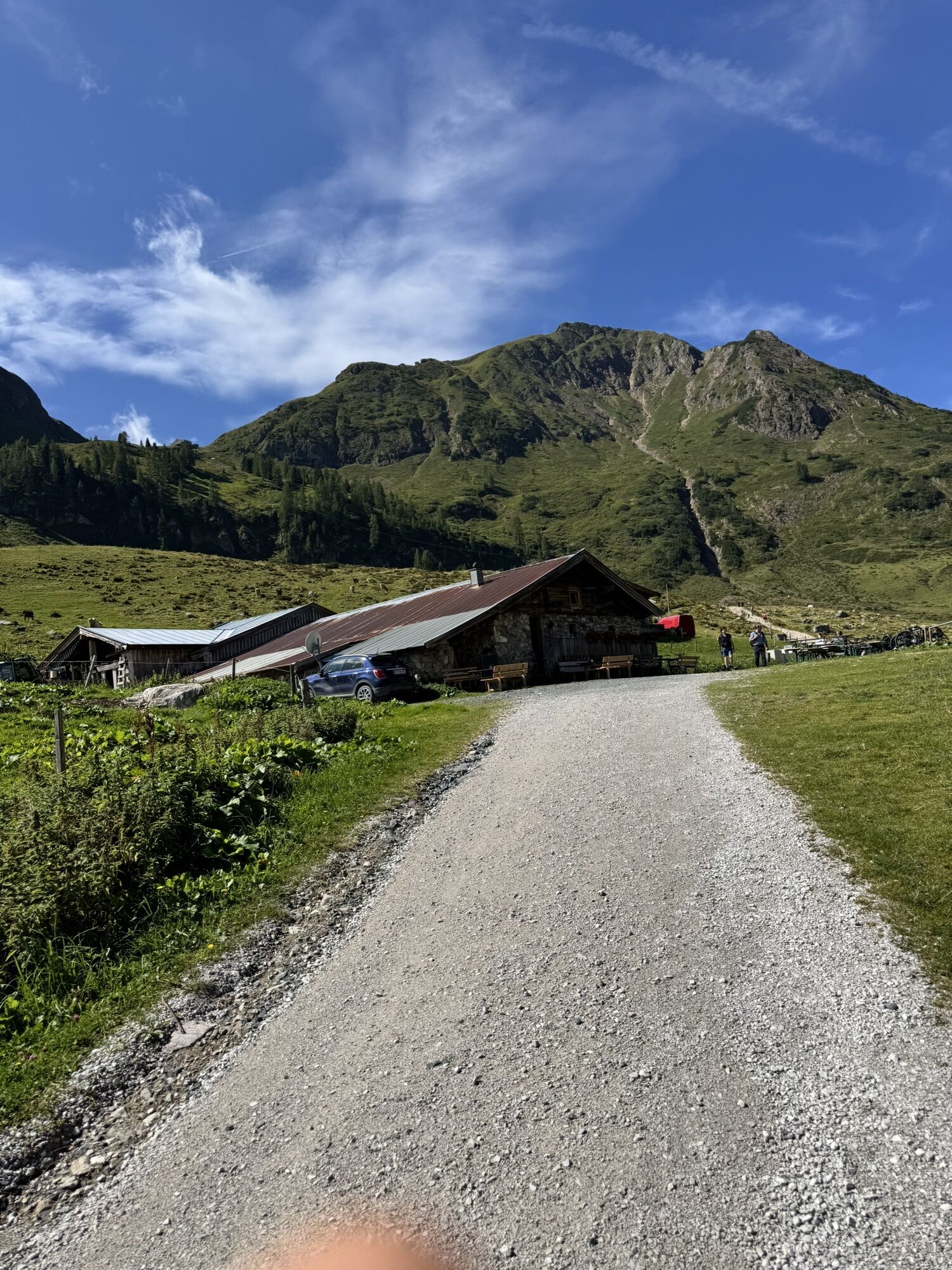
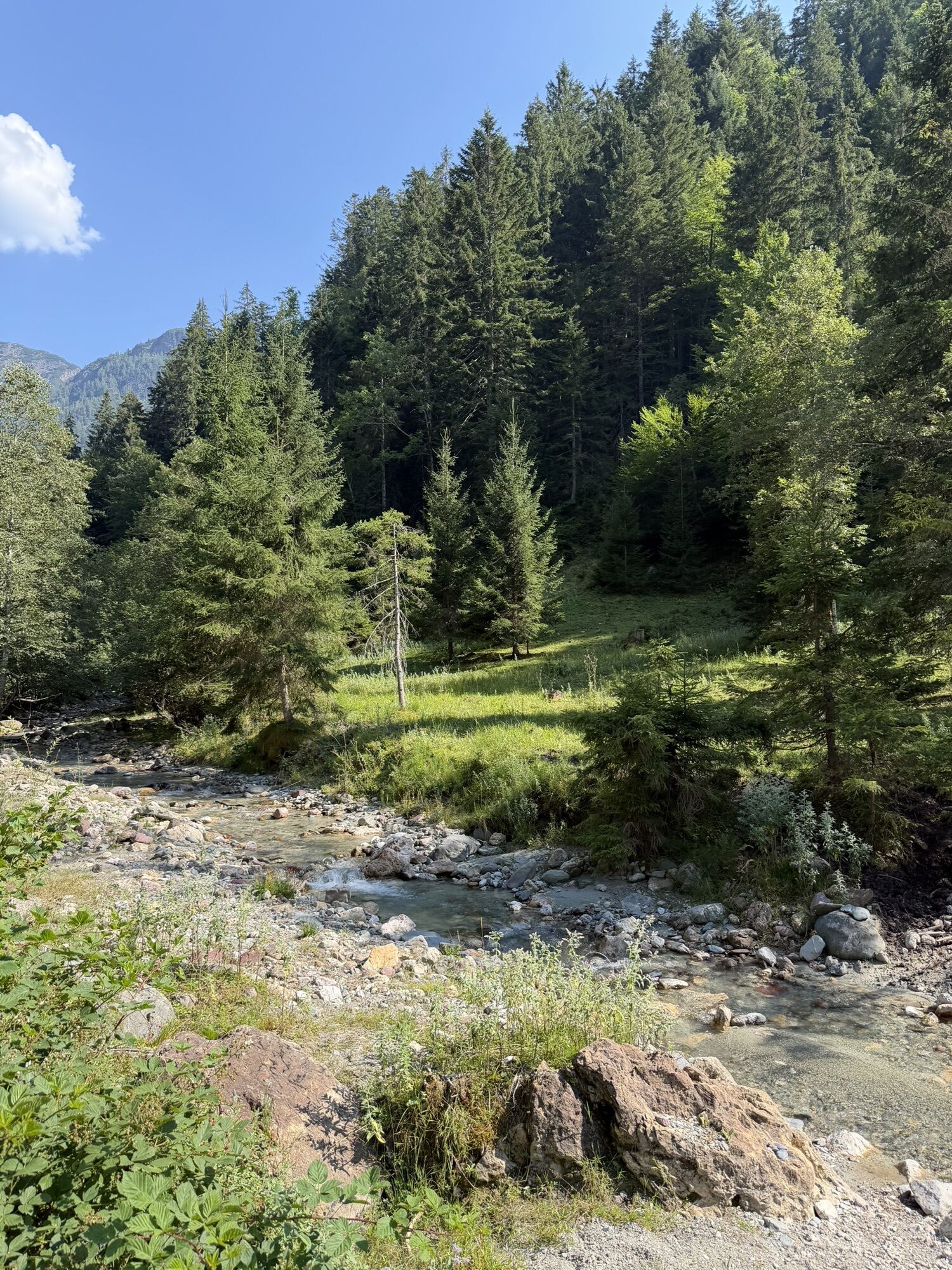


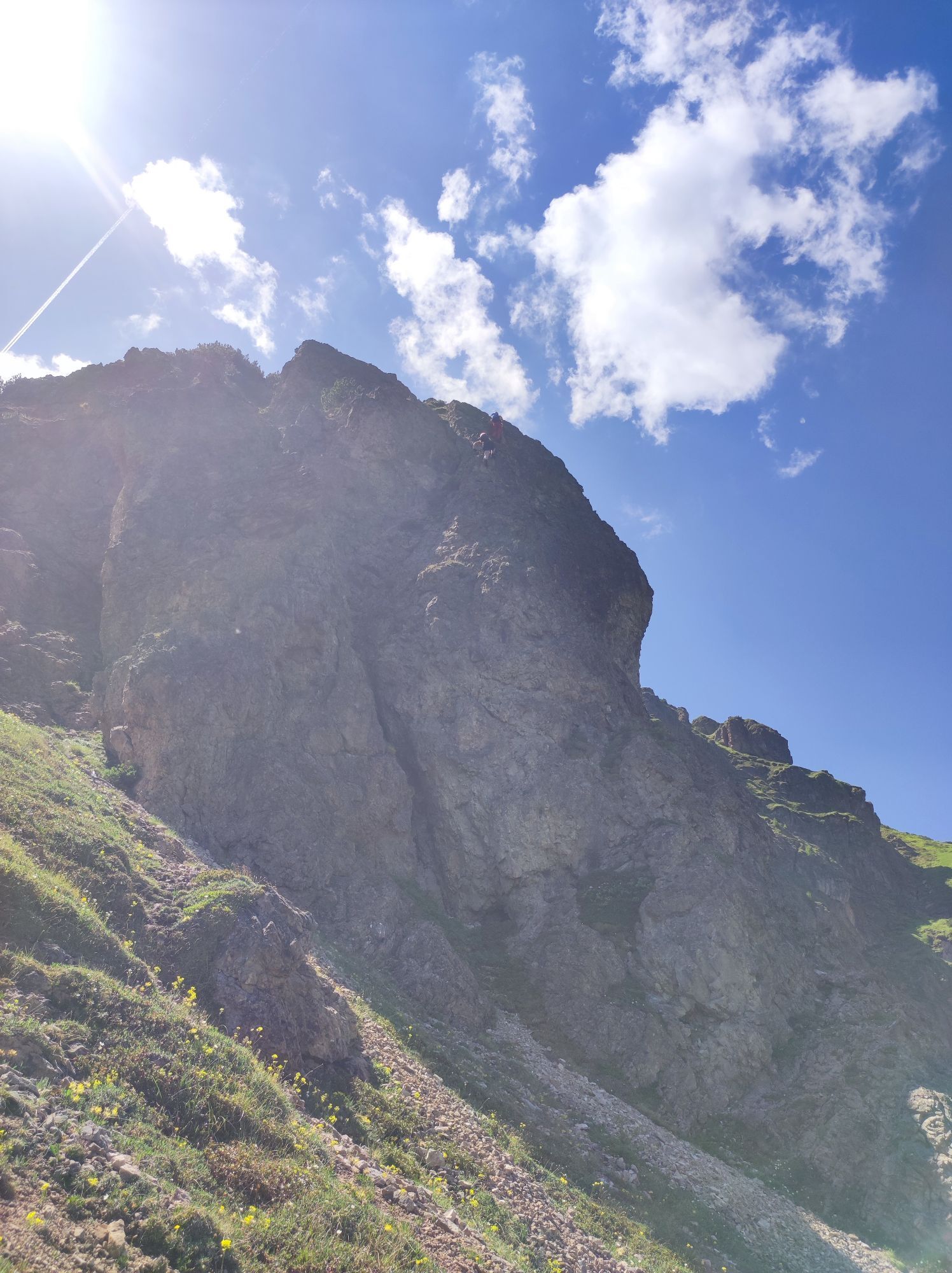
This demanding tour around Saalbach-Hinterglemm is a true test of endurance. With 53.5 kilometers and nearly 2,000 meters of elevation gain, the effort quickly adds up. You’ll need not only strong legs...
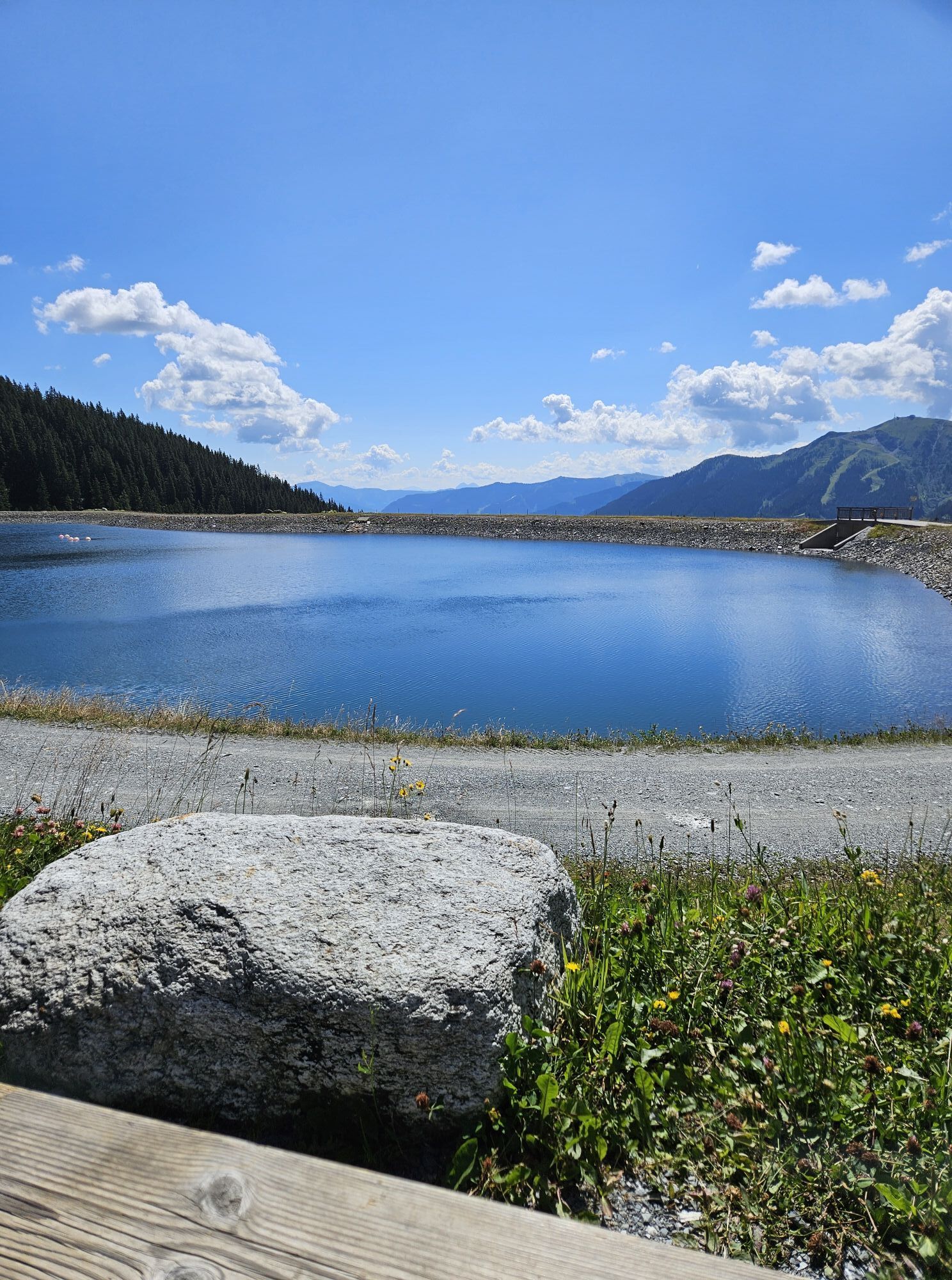
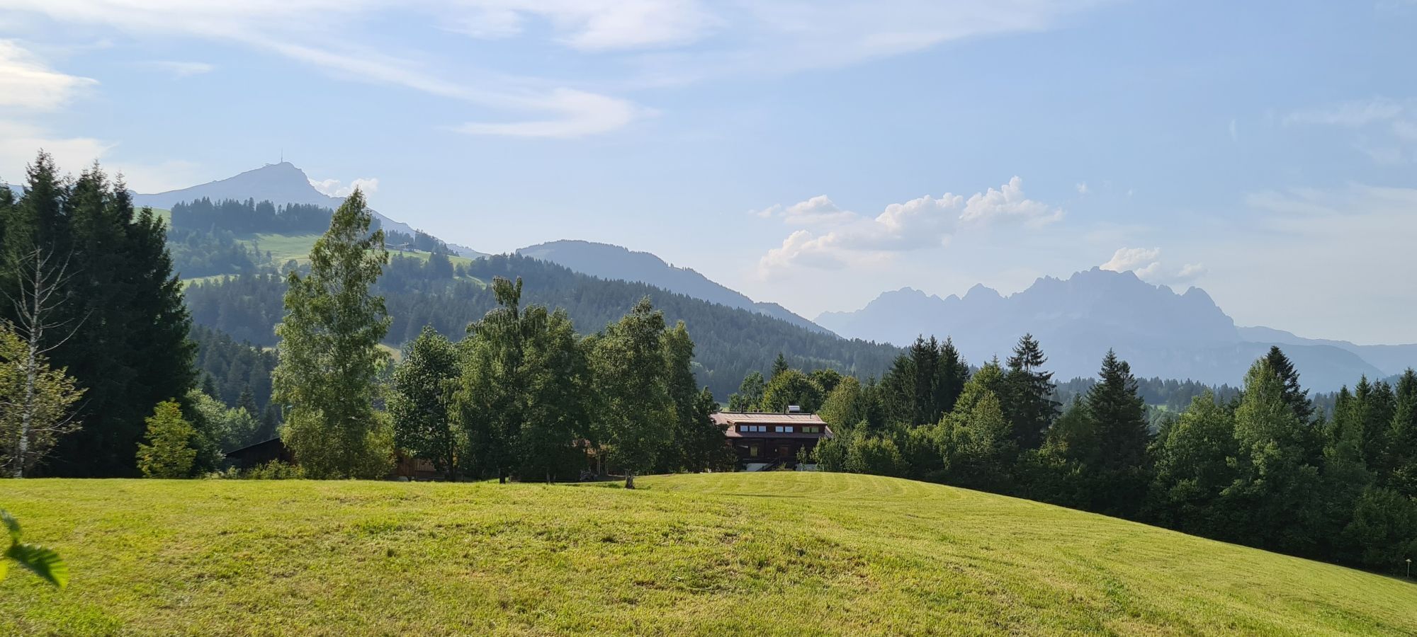
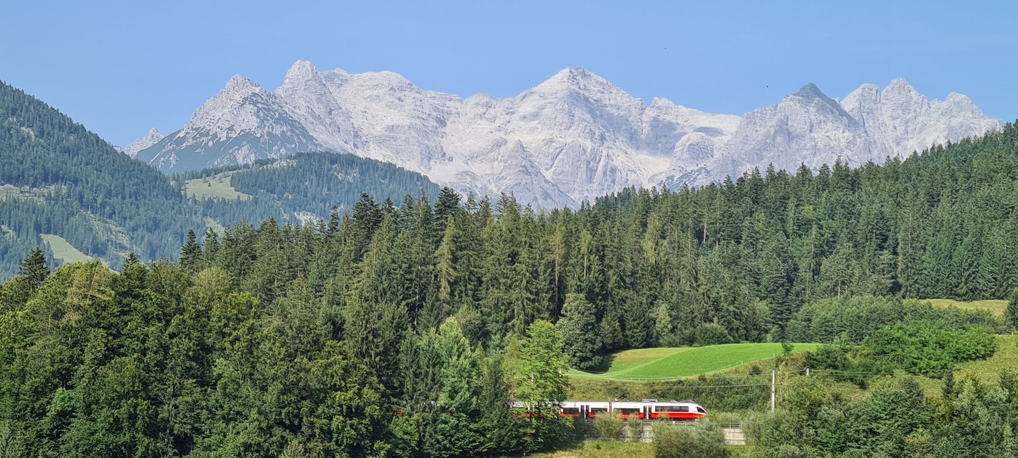
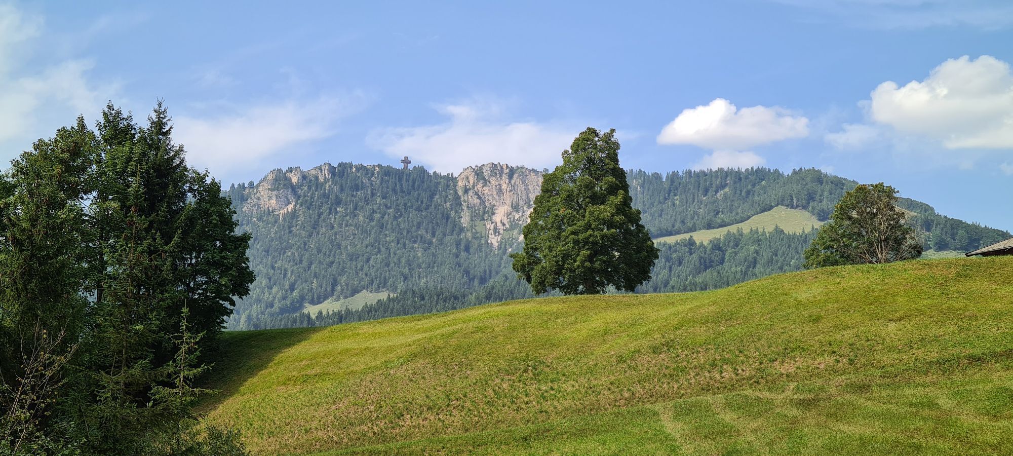
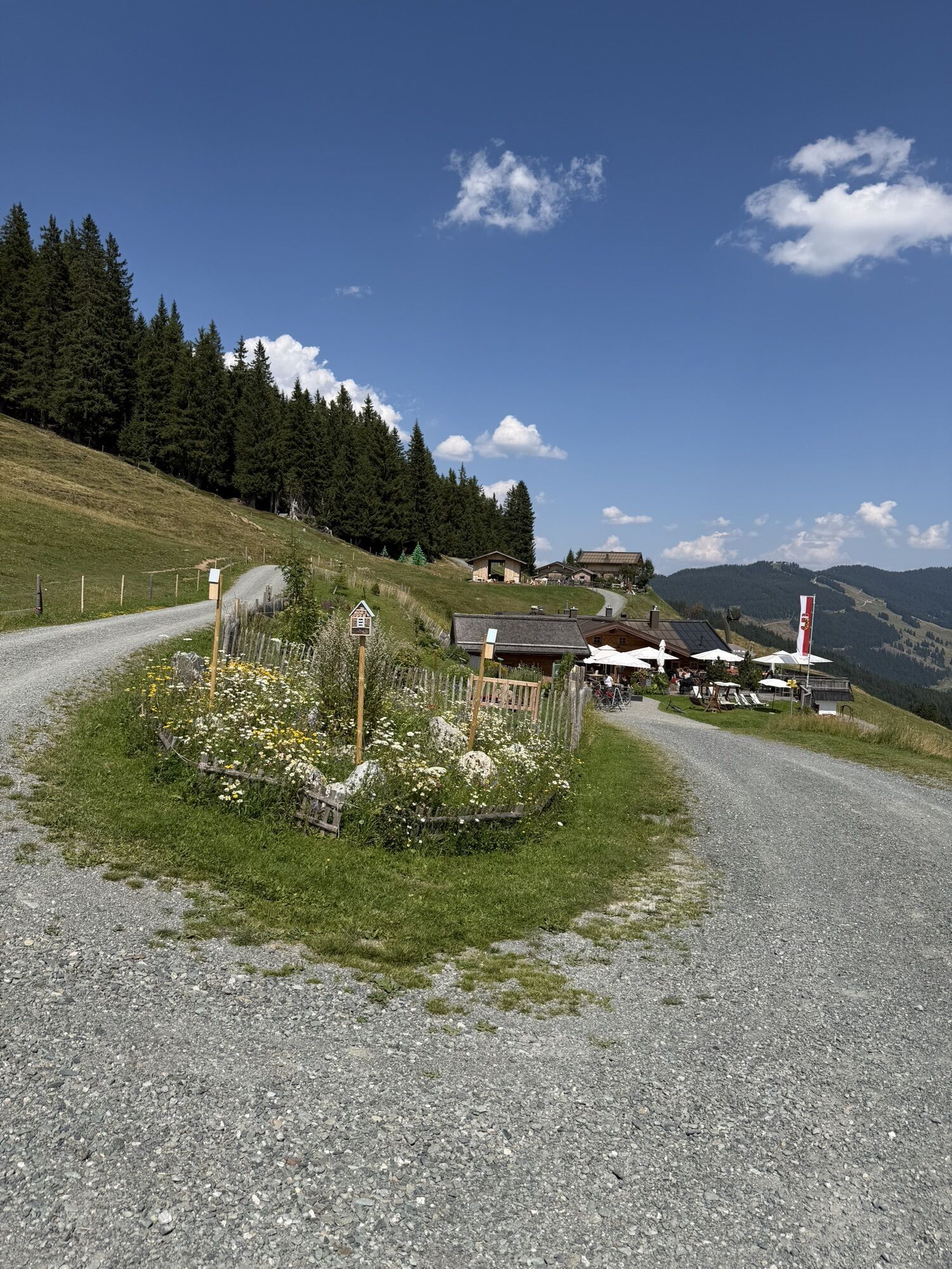
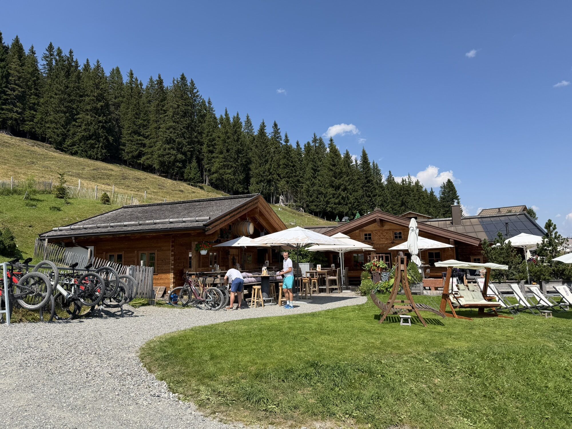
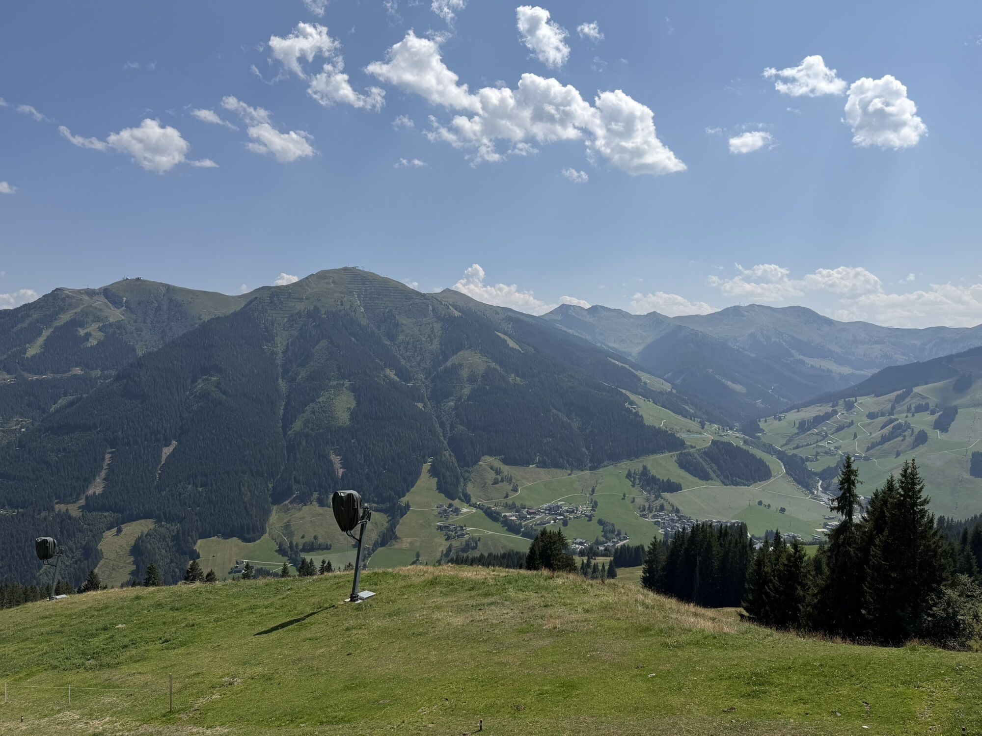
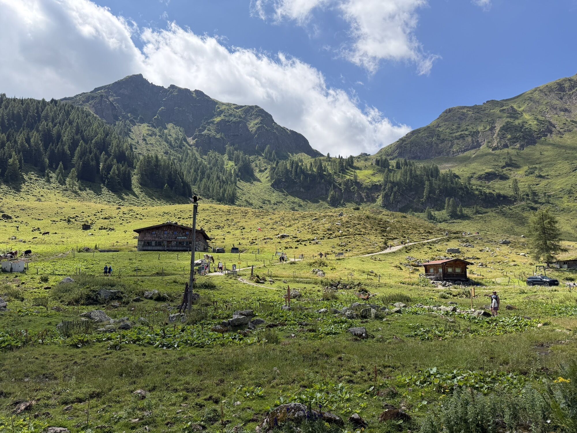
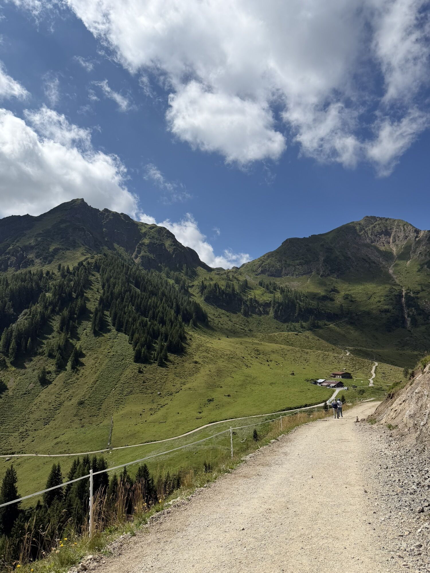
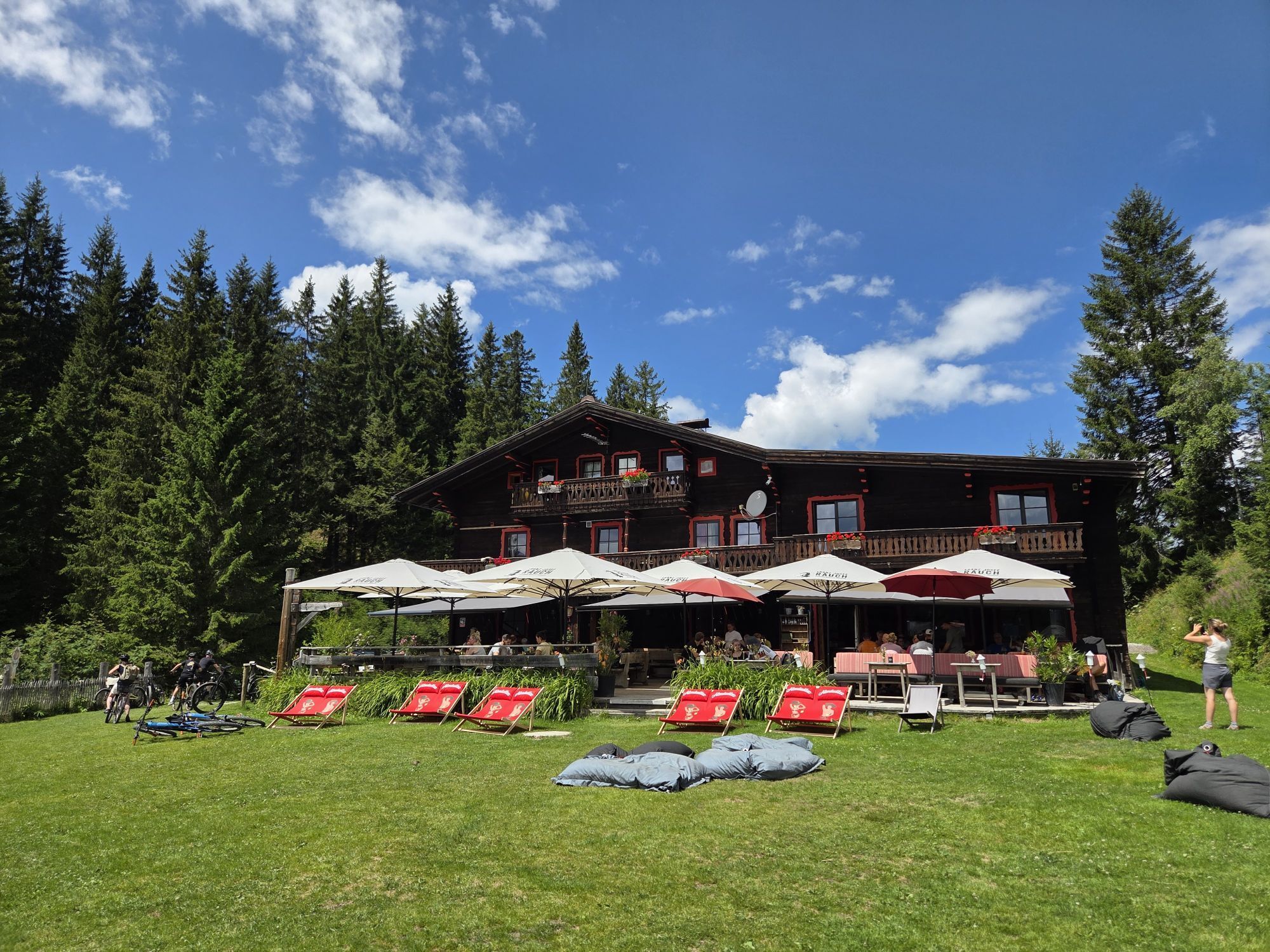
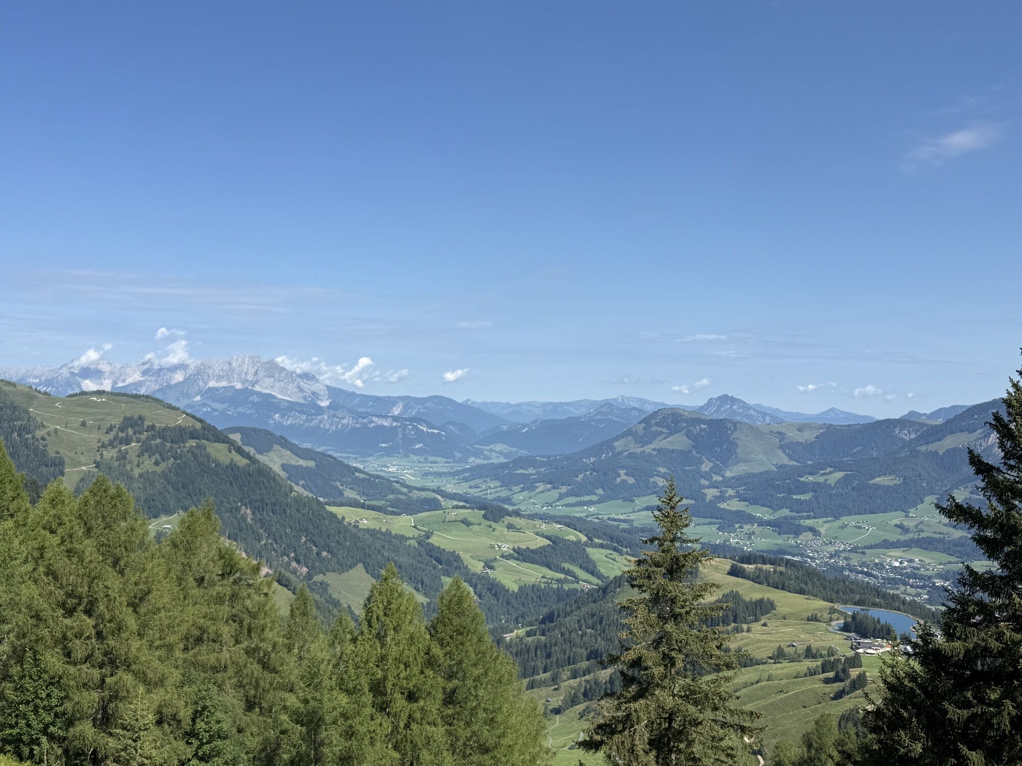
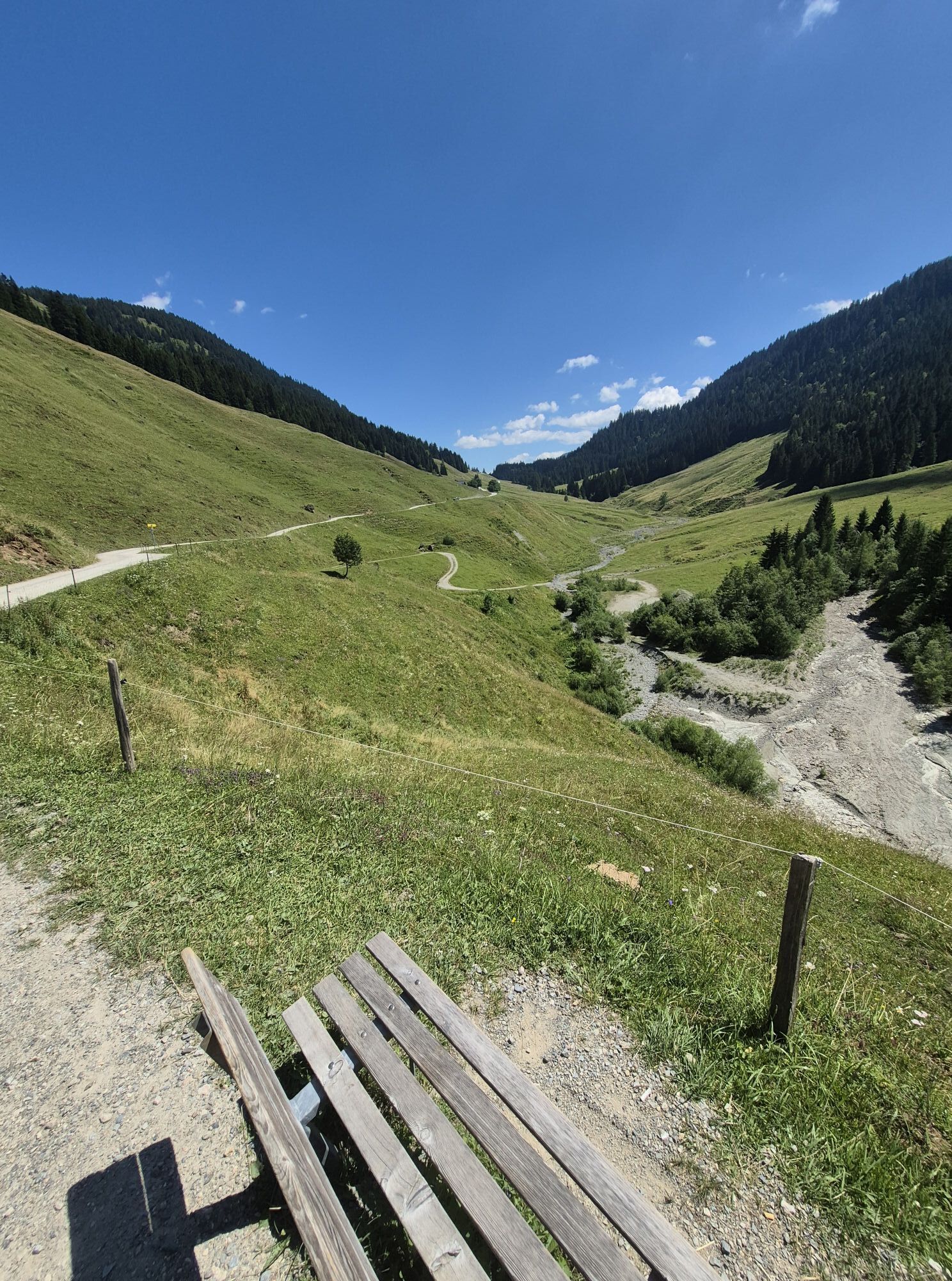
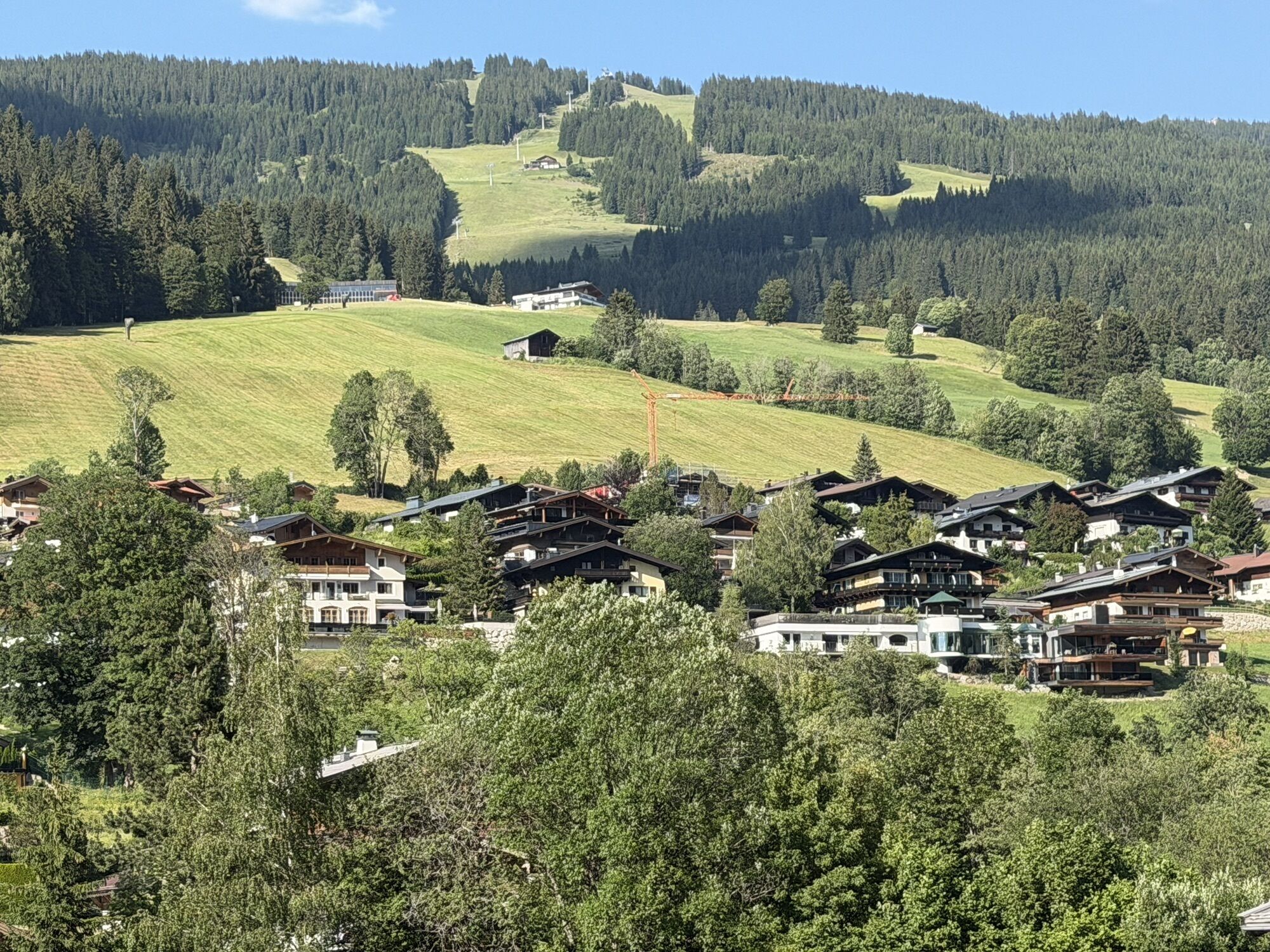
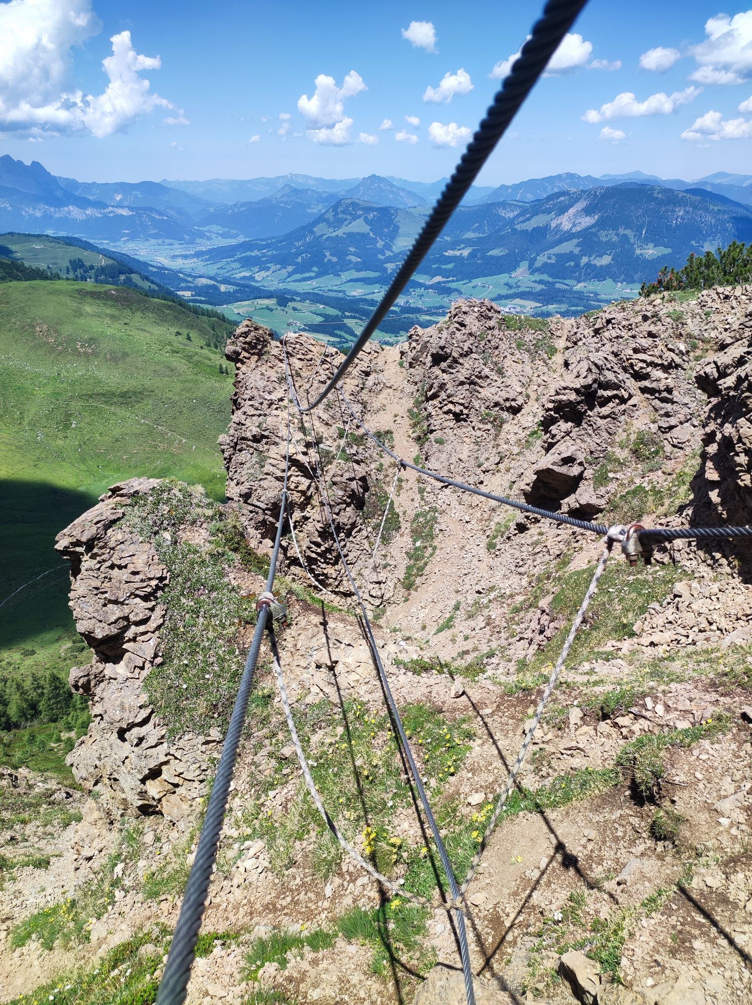
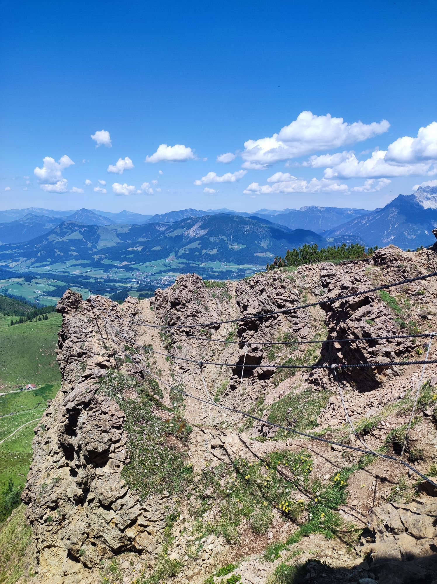
This demanding tour around Saalbach-Hinterglemm is a true test of endurance. With 53.5 kilometers and nearly 2,000 meters of elevation gain, the effort quickly adds up. You’ll need not only strong legs but also good pacing over several hours. The start is still manageable, but the climbs soon become longer and more intense. The route begins with an ascent to the Spielberghaus, where the challenge starts right away. From there, a first flowing descent leads down to the Eiserne Hand. Afterwards, the route continues comfortably along the bike path to Fieberbrunn and up to the idyllic Lauchsee. From Lauchsee, another demanding climb awaits, taking you all the way to the Lärchfilzkogel. At the top, an impressive mountain panorama opens up before the trail descends again via the Lärchfilzhochalm. Back on the road below, the route continues past the Pulvermacherscherm and Reiterkogel before returning to Saalbach Hinterglemm. Overall, this is a long and intense tour with true alpine character – ideal for riders seeking a sporting challenge without missing out on scenic highlights.


Webcams de la tournée
Schattberg - West
Schattberg Westgipfel
Kohlmais Tal
Hochfilzen - Ferienwohnungen Schreder
St. Jakob im Pillerseetal
Fieberbrunn - Buchensteinwand in Tirol
Hinterglemm - Saalbach
Saalbach-Hinterglemm - Schattberg Ost
Saalbach-Hinterglemm - Zwölferkogel
Saalbach-Hinterglemm - Wildenkarkogel
Fieberbrunn - Lärchfilzkogel
Lärchfilzkogel
Saalbach - Hotel Alpinresort
Zwölferkogel
Wildenkarkogel
Mittelstation Streuböden
Saalbach-Hinterglemm - Kohlmais
Fieberbrunn - Bikepark, Streuböden Talstation (836m)
Fieberbrunn - Streuböden Bergstation
Pillersee - Jakobskreuz
Talstation Pillersee
Martenhof
Wohlfühlhotel-Johanneshof
Fairhotel Hochfilzen
Eberharthof - Saalbach-Hinterglemm
Hochalm Mittelstation
Hochalm Mittelstation

Activités le long du parcours


Parcours populaires à proximité
- 4,4
Erpfendorf: Griesbachklamm
moyenRandonnée 10 km - 4,4
Kitzbüheler Horn über Horn-Gipfel-Höhenweg
moyenChemin thématique 5,30 km - 4,8
Loferer Steinberge, zum Hinterhorn über die Schmid-Zabierow Hütte, 19.06.22
difficileRandonnée 14,0 km - 4,2
Panoramarundweg am Hahnenkamm
facileRandonnée 3,02 km - 4,7
Parcours panoramique 3 sommets et 2 lacs
moyenRandonnée 7,21 km - 5,0
Le parcours de jeux de Leo
facileChemin thématique 4,89 km - 4,7
Streif Wanderweg
moyenRandonnée 5,73 km - 4,2
Passauer Hütte
difficileRandonnée 8,27 km - 4,7
St. Johann in Tirol: Wasserfall & 3 Seen am Kitzbüheler Horn
moyenRandonnée 12,7 km - 4,5
Birnbachloch
moyenRandonnée 6,35 km
Randonnée et suivi


Ne manquez pas les offres et l'inspiration pour vos prochaines vacances
Votre adresse électronique a été ajouté à la liste de diffusion.


