Naviguer avec l'appli
Télécharge cette visite sur ton portable
Carte
Sinnlehenalm loop
moyen
VTT
8,33 km
Scanner le code QR et commencer la navigation dans l'application bergfex
QR Code
Randonnée & tracking
Téléchargement pour iOS
Téléchargement pour Android

Sinnlehenalm loop

Distance
8,33 km
Durée
01:00 h
Ascension
170 m
Altitude
749 - 960 m

Niveau de difficulté: S0

Téléchargement de la piste
Carte
Sinnlehenalm loop
moyen
VTT
8,33 km

From the centre of Leogang, the route heads straight uphill. You cycle along wide forest tracks to the Sinnlehenalm, which lies at 950 metres above sea level – the perfect spot for a breather. The route...

Description
From the centre of Leogang, the route heads straight uphill. You cycle along wide forest tracks to the Sinnlehenalm, which lies at 950 metres above sea level – the perfect spot for a breather. The route then continues briefly uphill along a slightly narrower path (Please be considerate of hikers!) before the descent back down into the valley begins. You then follow the cycle path back to Leogang.


TIP: If you like, you can also cycle on further to the Berggasthof Biberg or Berggasthof Huggenberg. To do this, after the narrow uphill section past the Sinnlehenalm, cycle briefly downhill again and then turn right onto the forest road.

Parcours
Pfarrkirche Leogang
(788 m)
Lieu de culte
0,0 km
Pietà
(808 m)
Lieu de culte
0,3 km
Sinnlehen Alm
(920 m)
Refuge
1,9 km
Hirnreit
(789 m)
Village
1,9 km
Sinning
(775 m)
Village
6,5 km
Parcours
Carte
Sinnlehenalm loop
moyen
VTT
8,33 km
Pfarrkirche Leogang
(788 m)
Lieu de culte
0,0 km
Leogang
(788 m)
Village
0,0 km
Pietà
(808 m)
Lieu de culte
0,3 km
Madreit
(950 m)
Village
0,7 km
Wimbach
(864 m)
Couloir/terrain
1,1 km
Sinnlehen Alm
(920 m)
Refuge
1,9 km
Hirnreit
(789 m)
Village
1,9 km
Otting
(751 m)
Lotissement
6,1 km
Sinning
(775 m)
Village
6,5 km
Rosental
(781 m)
Village
7,6 km
Leogang
(788 m)
Village
8,3 km
Pfarrkirche Leogang
(788 m)
Lieu de culte
8,3 km
Infos sur la visite

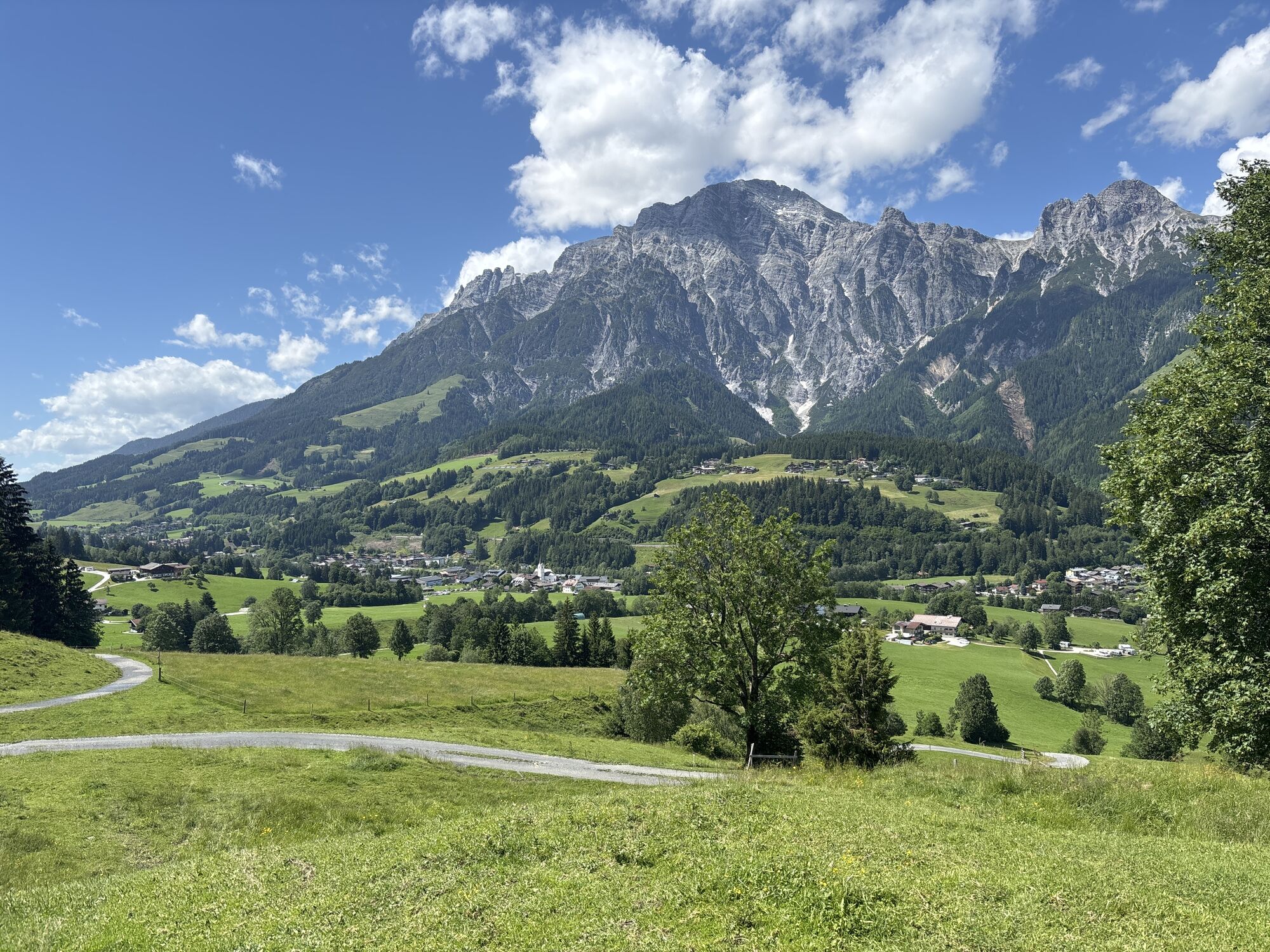
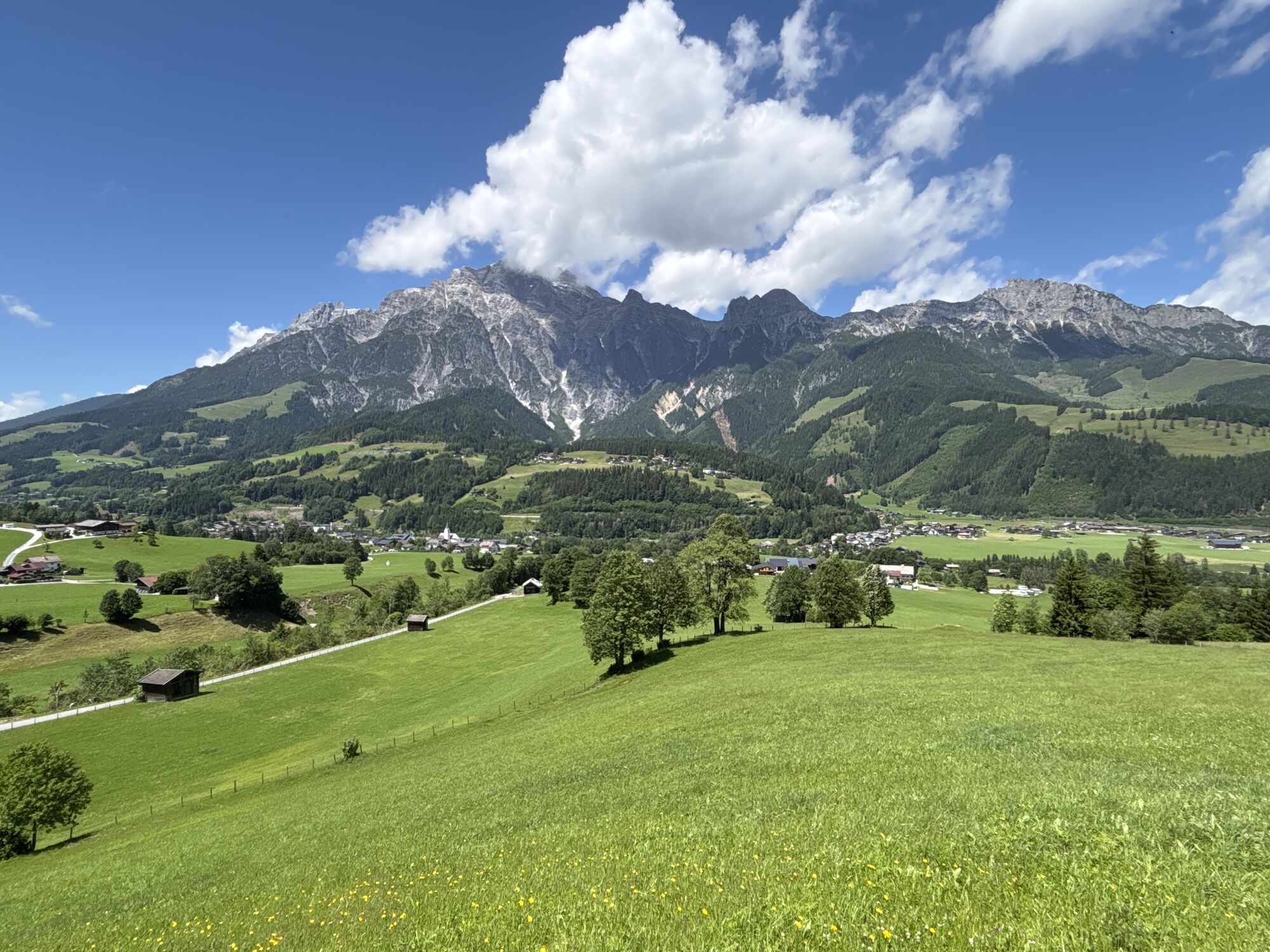
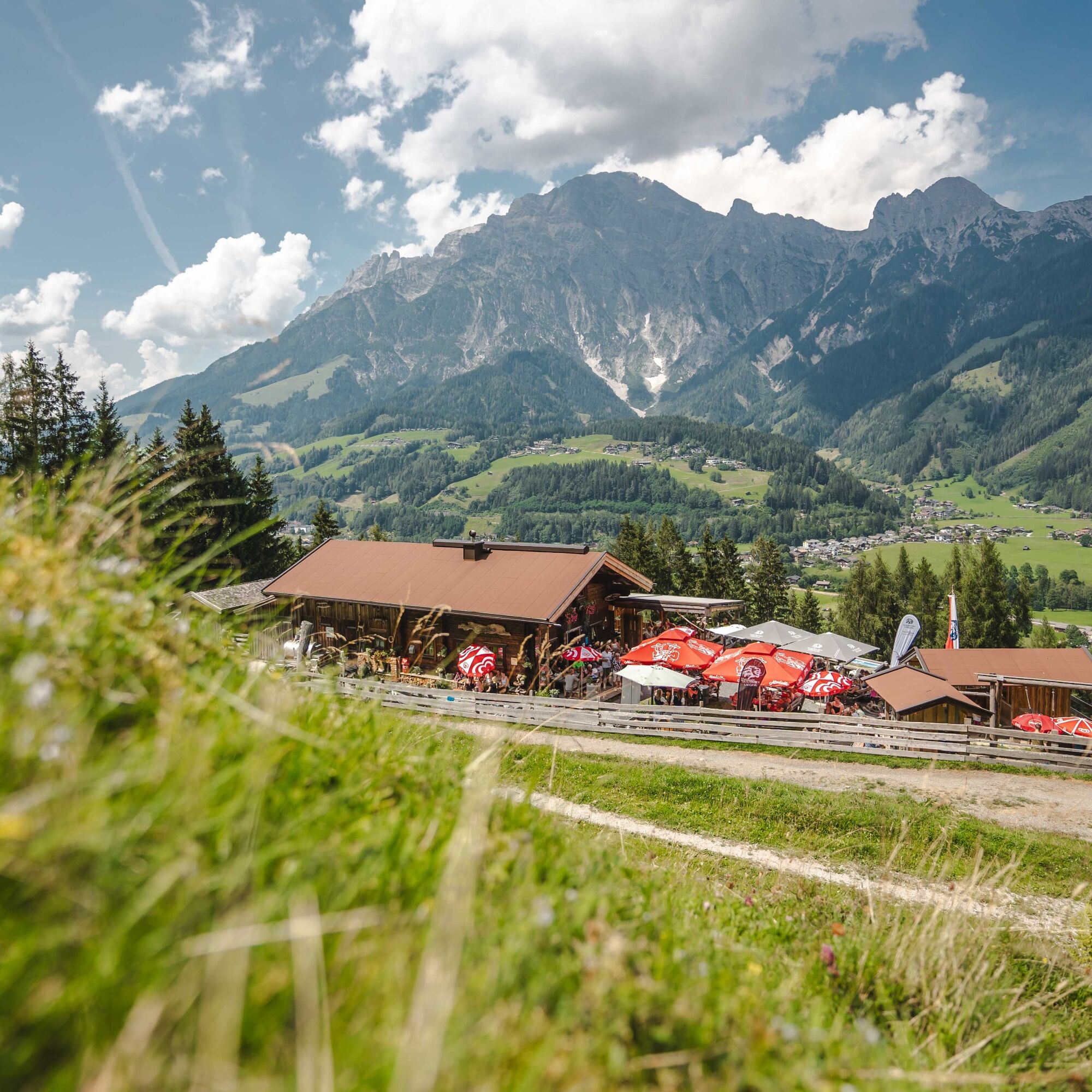
The Sinnlehenalm loop leads to the Sinnlehenalm, from which the loop takes its name, and which offers a wonderful view of the Leoganger Steinberge.

Technique
1 / 6
Endurance
3 / 6
Paysage
n.d.
Expérience
n.d.
Auteur
La visite Sinnlehenalm loop est fournie par outdooractive.com.
Logo
Partager la visite
Carte
Sinnlehenalm loop
moyen
VTT
8,33 km
Erreur
Une erreur s'est produite. Veuillez réessayer.
Informations sur l'itinéraire
Parcours
From the centre of Leogang, the route heads straight uphill. You cycle along wide forest tracks to the Sinnlehenalm, which lies at 950 metres above sea level – the perfect spot for a breather. The route then continues briefly uphill along a slightly narrower path (Please be considerate of hikers!) before the descent back down into the valley begins. You then follow the cycle path back to Leogang.


TIP: If you like, you can also cycle on further to the Berggasthof Biberg or Berggasthof Huggenberg. To do this, after the narrow uphill section past the Sinnlehenalm, cycle briefly downhill again and then turn right onto the forest road.

Infos complémentaires & conseils
Niveau de difficulté

S0

Conseils

A stop-off at the beautifully situated Sinnlehenalm is not to be missed.

Pas encore d'évaluation
Écrire une évaluation

Les évaluations aident les autres utilisateurs à choisir leur prochaine aventure. Veuillez évaluer uniquement l'excursion, pas la météo ni votre casse-croûte.

Choisissez une des étoiles pour évaluer la visite
Mauvaise visite
Tour faible
Tour moyen
Bonne visite
Excellente visite
bergfex logoObtenez un aperçu Toujours en direct avec plus de 9.500 webcams. En tant qu'utilisateur Pro, vous pouvez désormais voir les webcams correspondantes à de nombreuses randonnées dans l'application de randonnées de bergfex. Vous pouvez ainsi voir directement les conditions actuelles.
Randonnée et suivi

Randonnée et suivi

télécharger pour iOStélécharger pour Android
Randonnée et suivi
Plus de 550.000 propositions de circuits, des cartes détaillées et un planificateur d'itinéraire intuitif font de cette application un must pour tous les passionnés de nature.
bergfex