







Dachsteinrunde Classic
Niveau de difficulté: S1


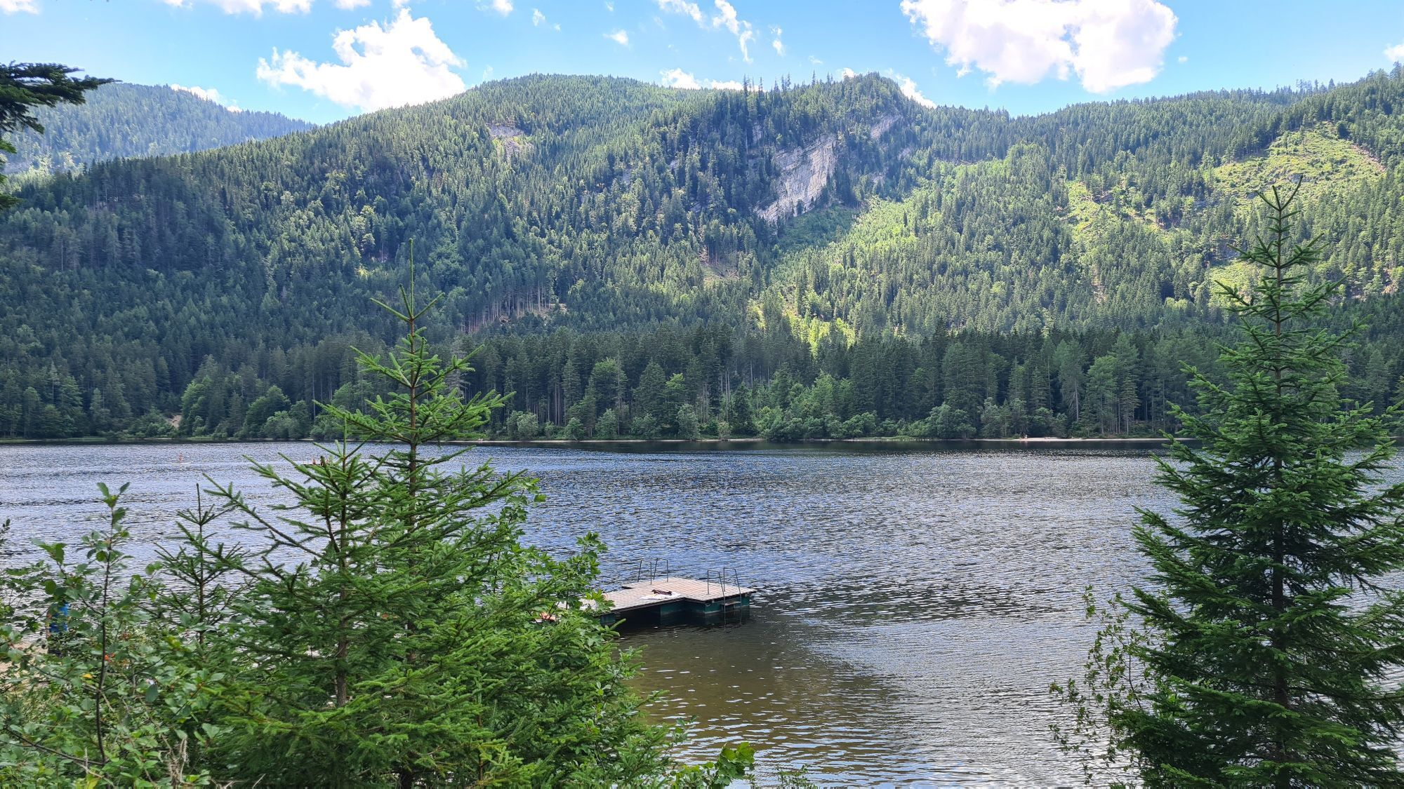
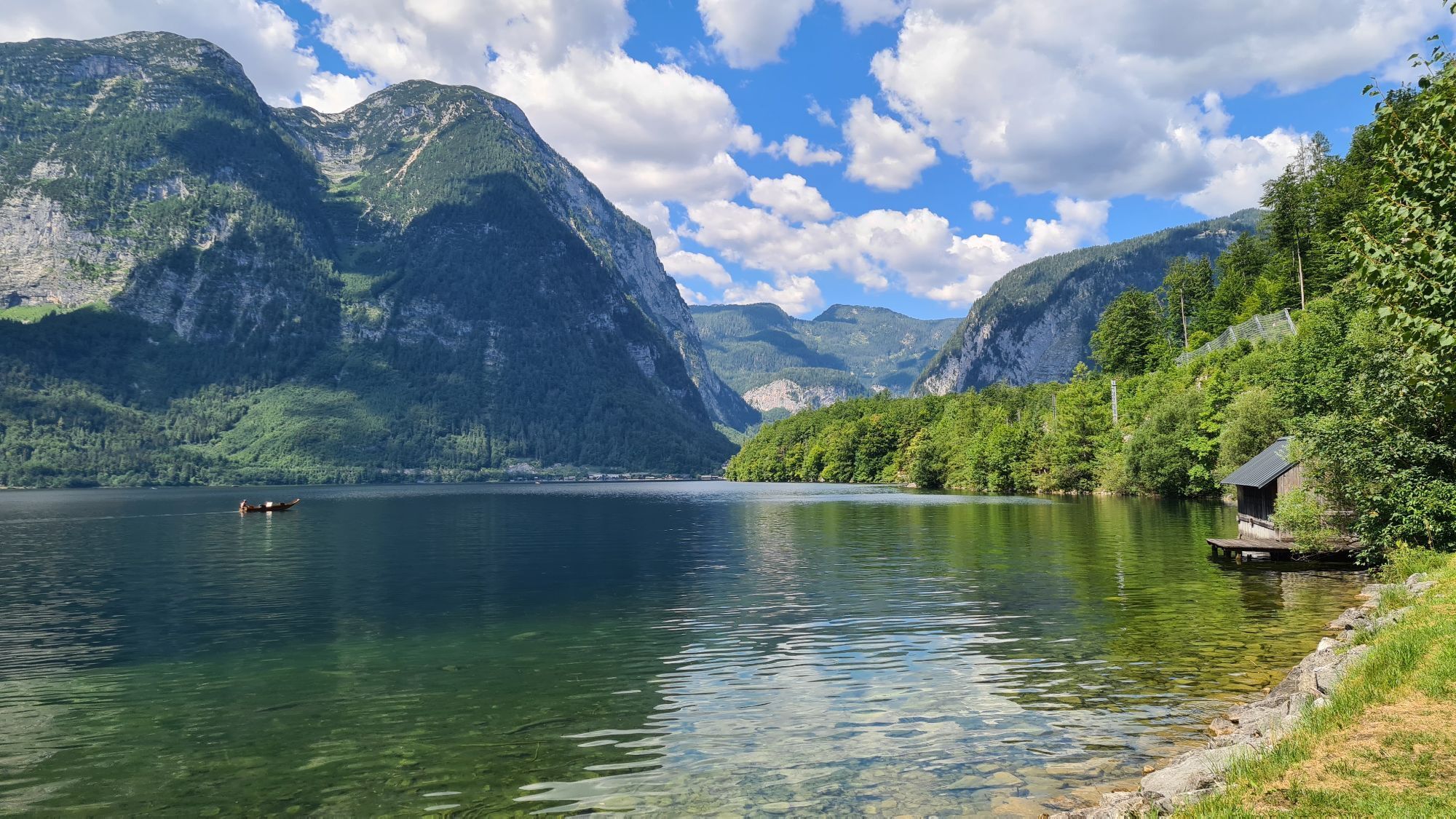
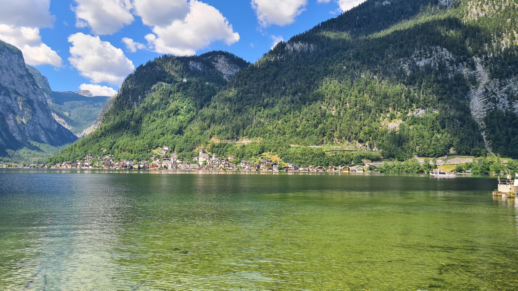
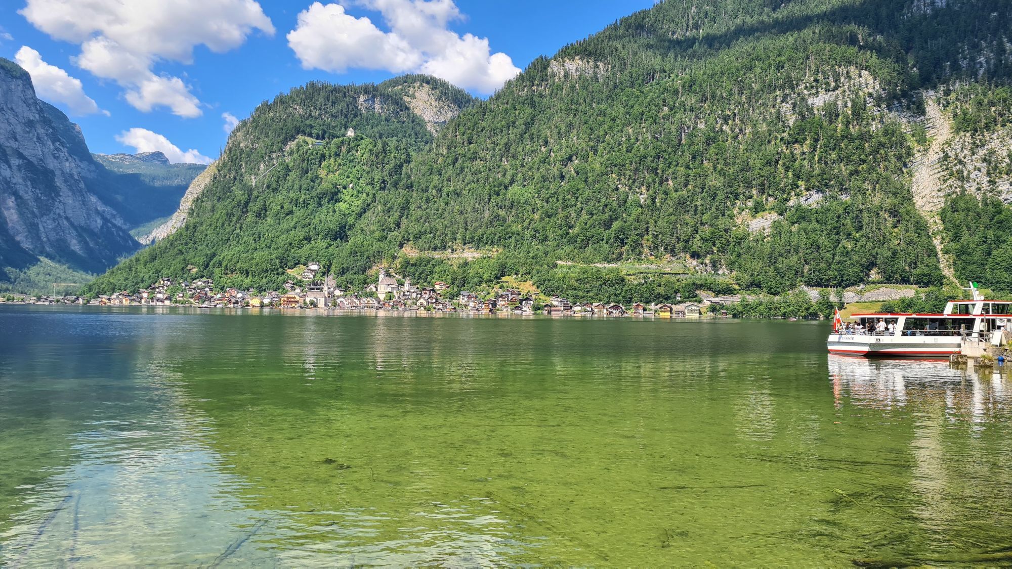
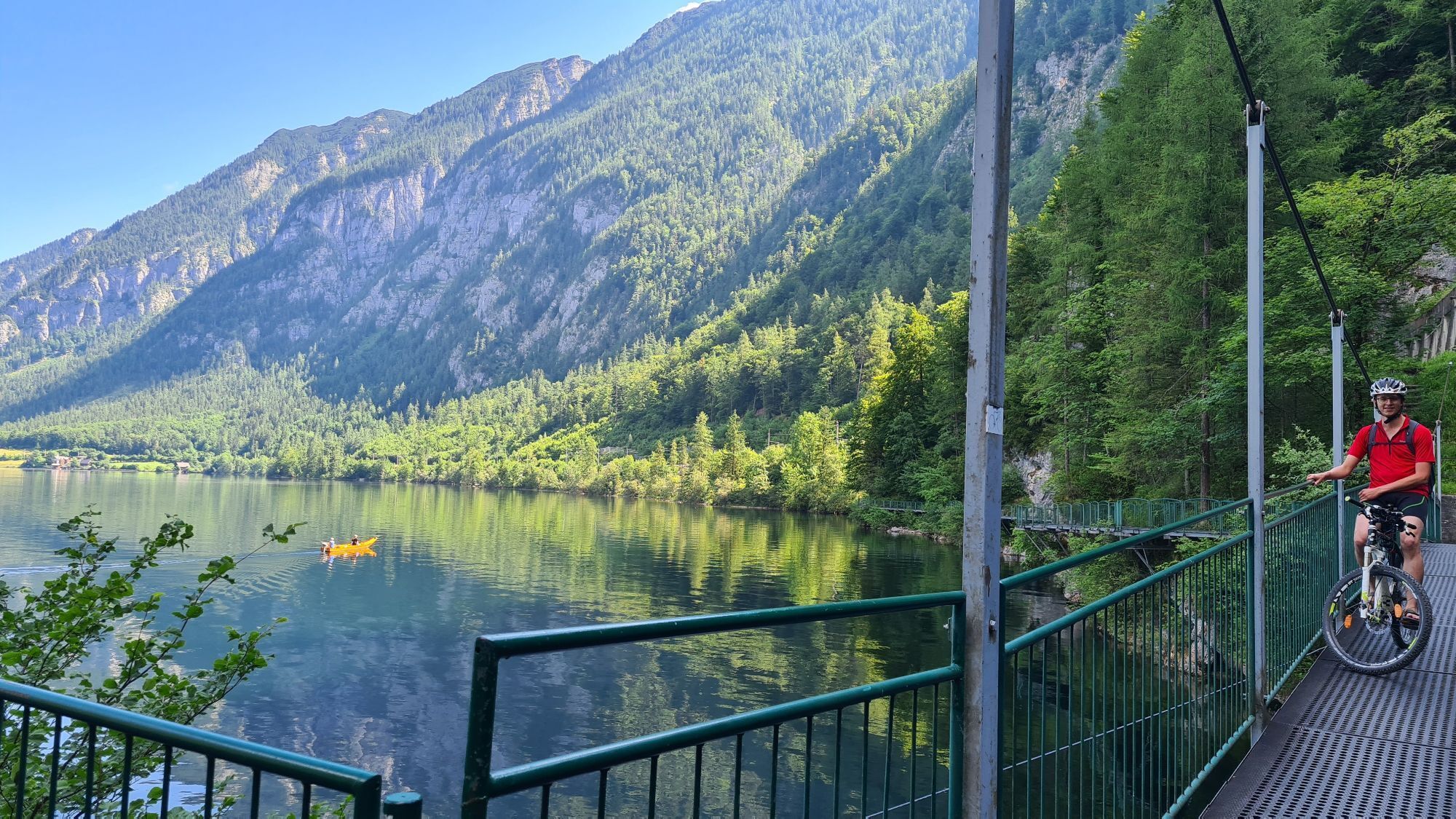
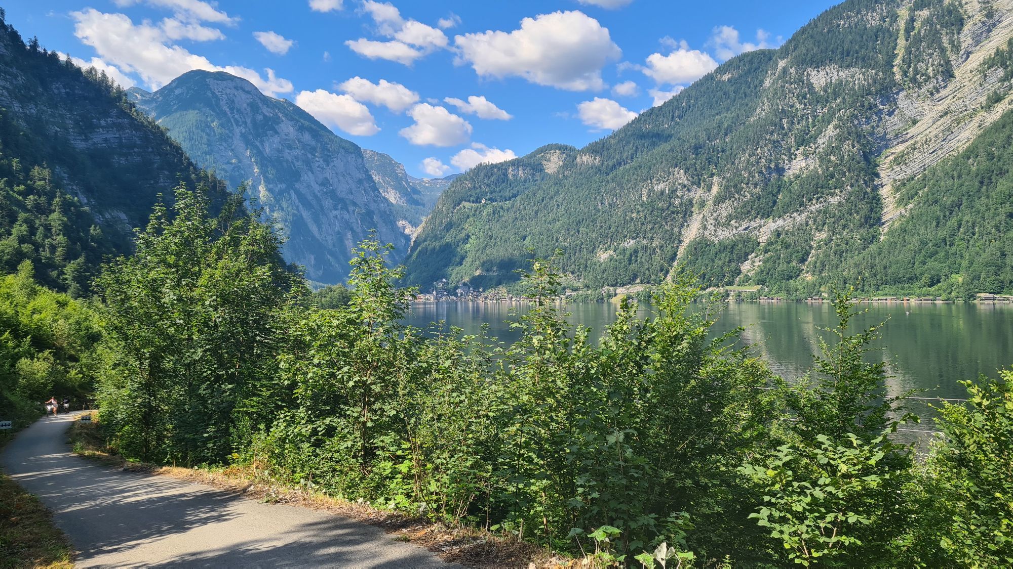
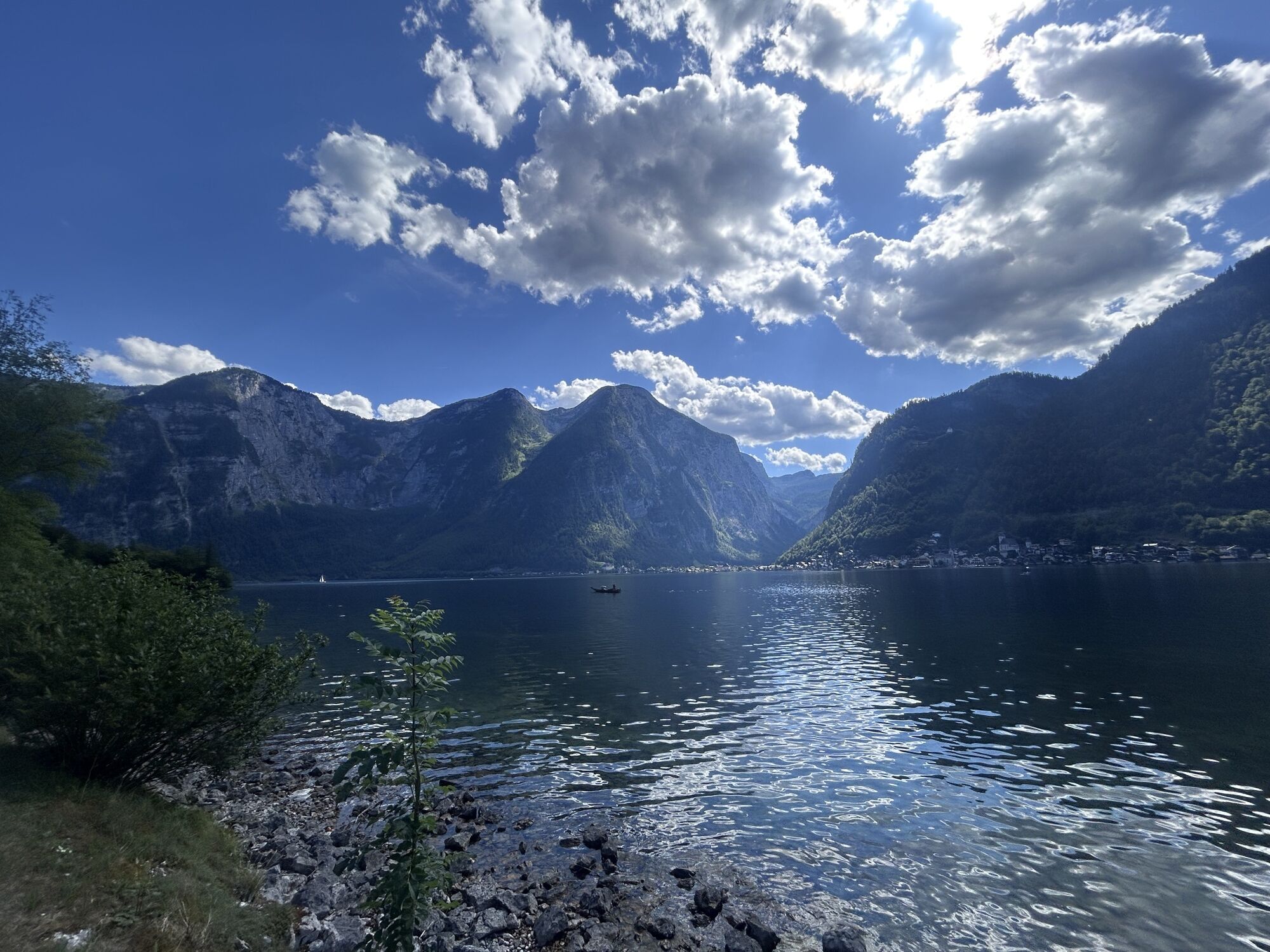
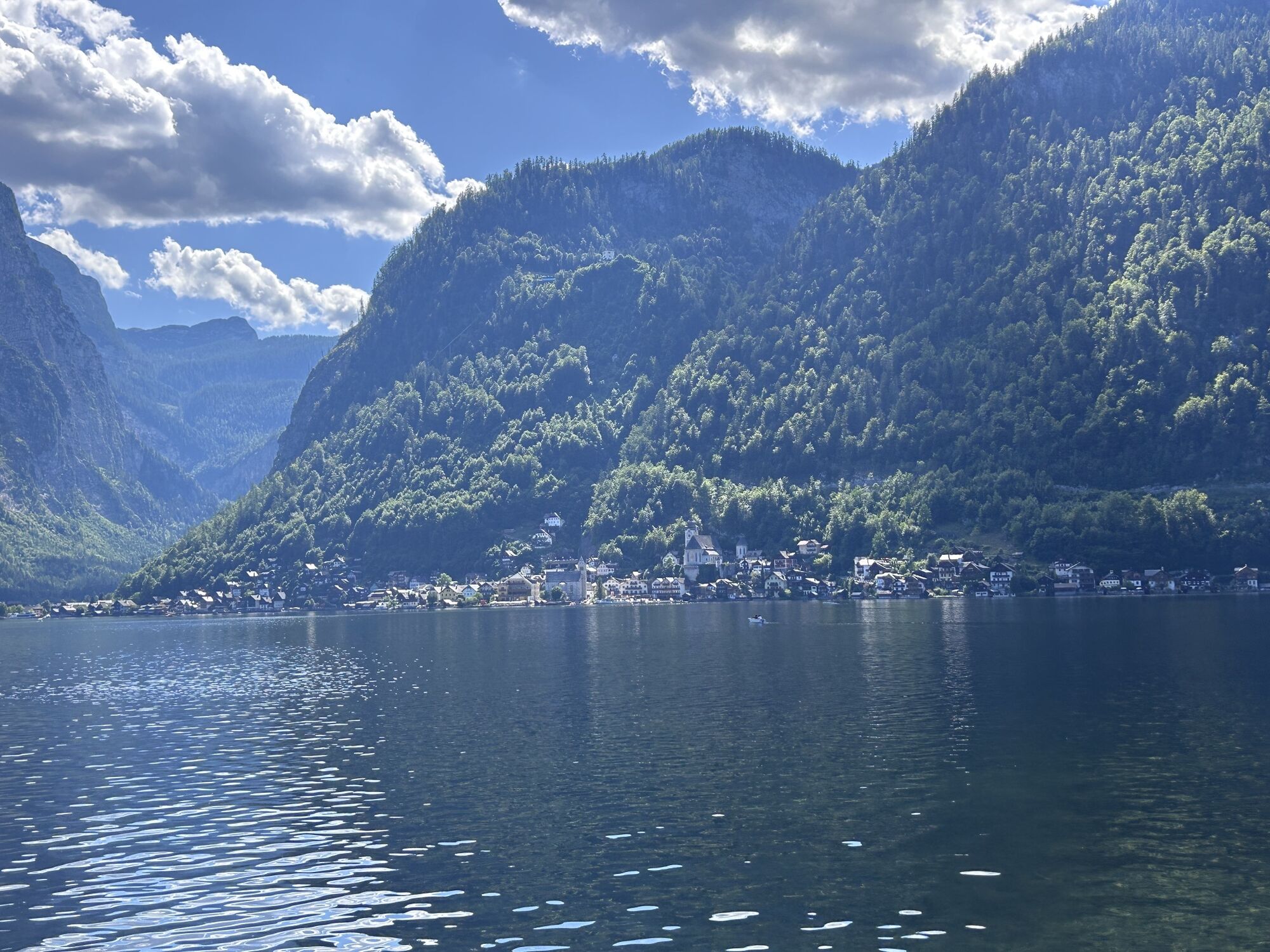
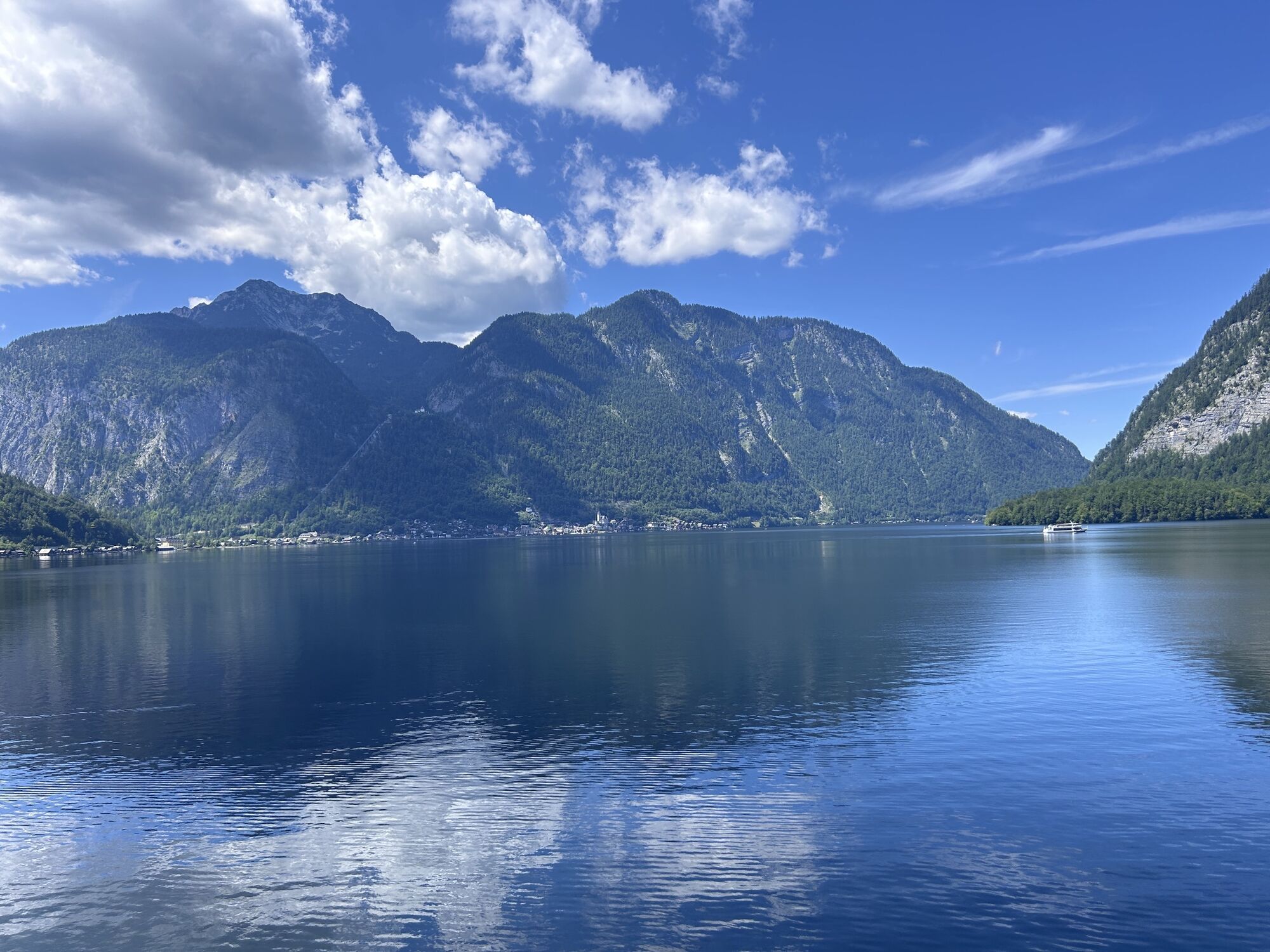
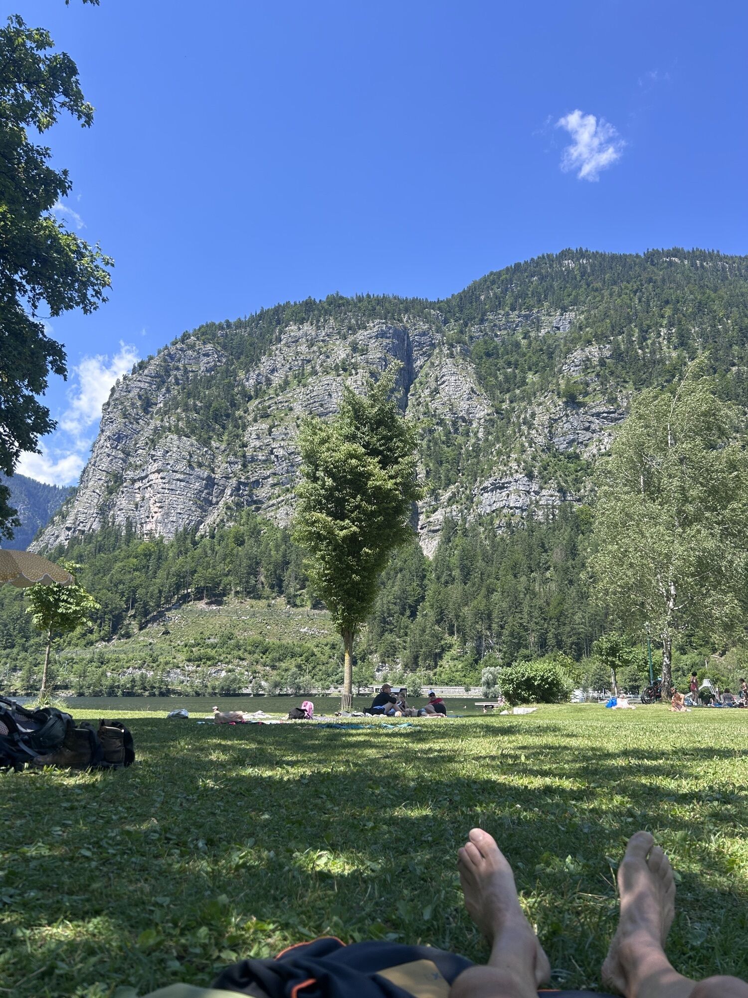
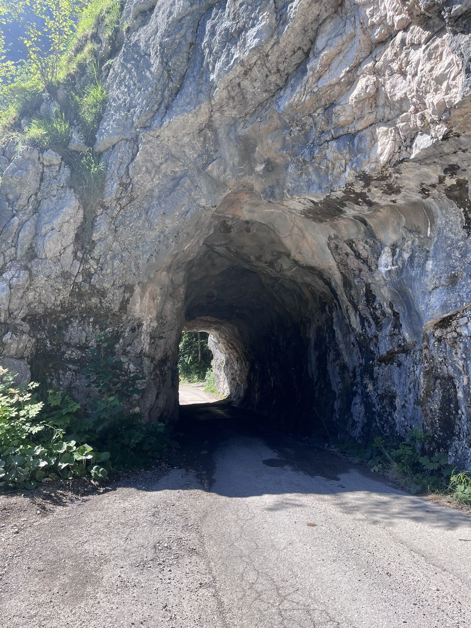
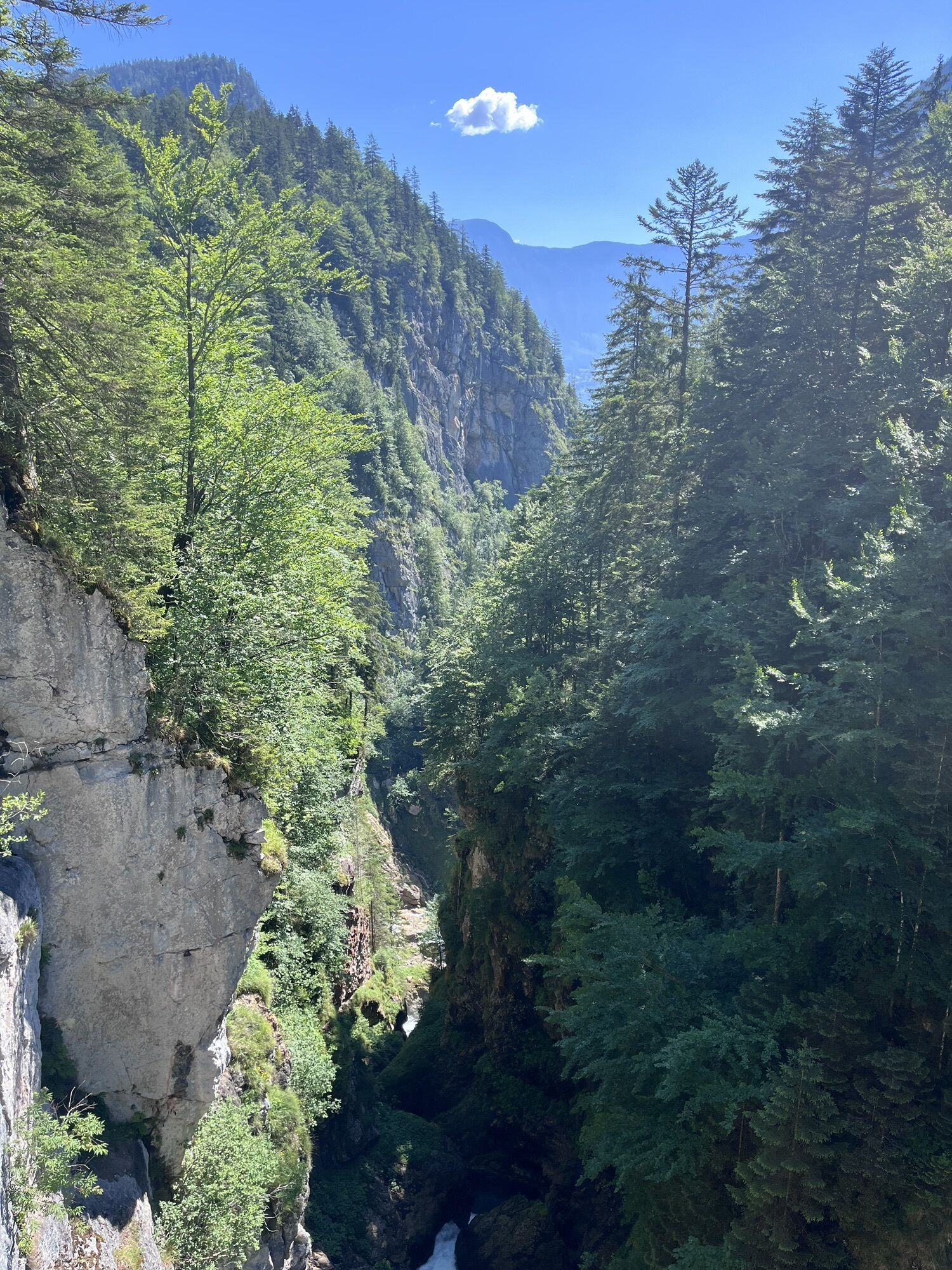
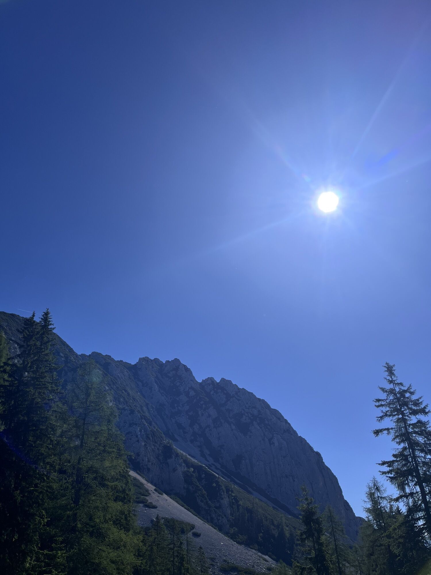
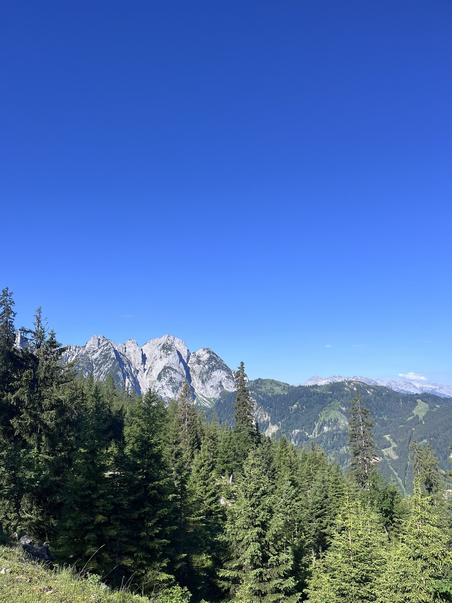
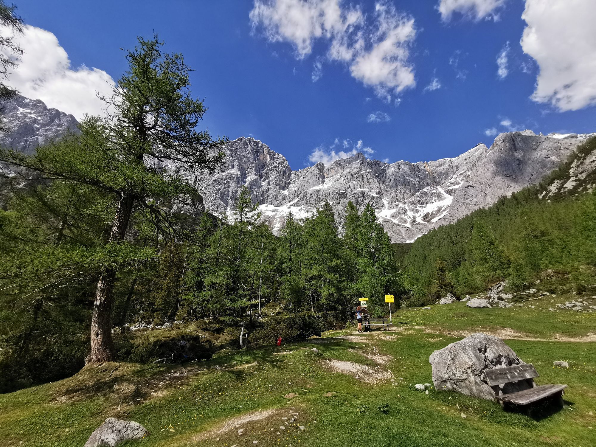
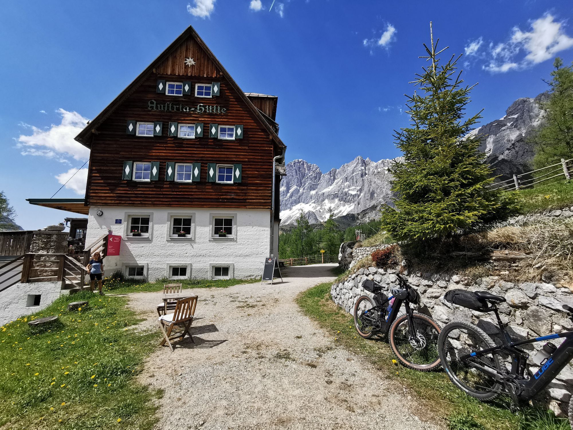
La Dachsteinrunde Classic (auparavant « variante bleue ») est depuis des années l'une de nos sorties VTT les plus appréciées - l'entrée idéale dans l'aventure VTT en randonnée ! Partant du lieu de la MTB...
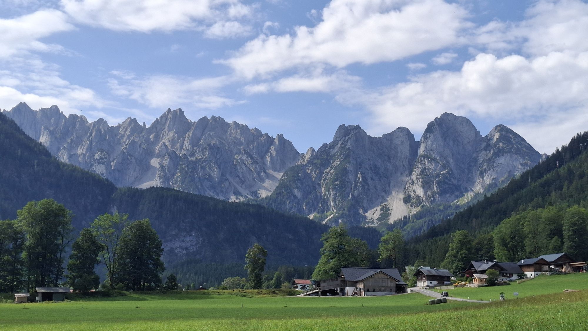
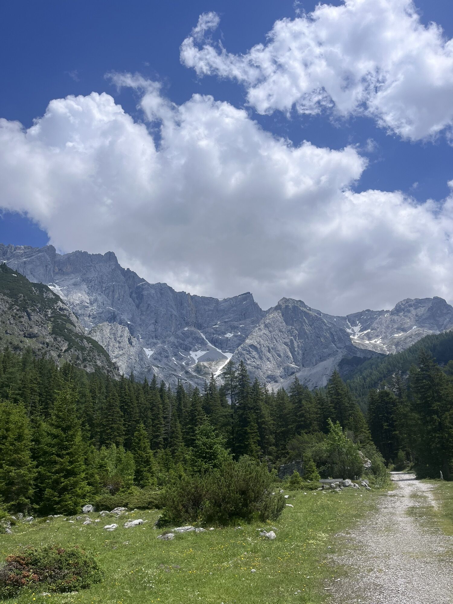
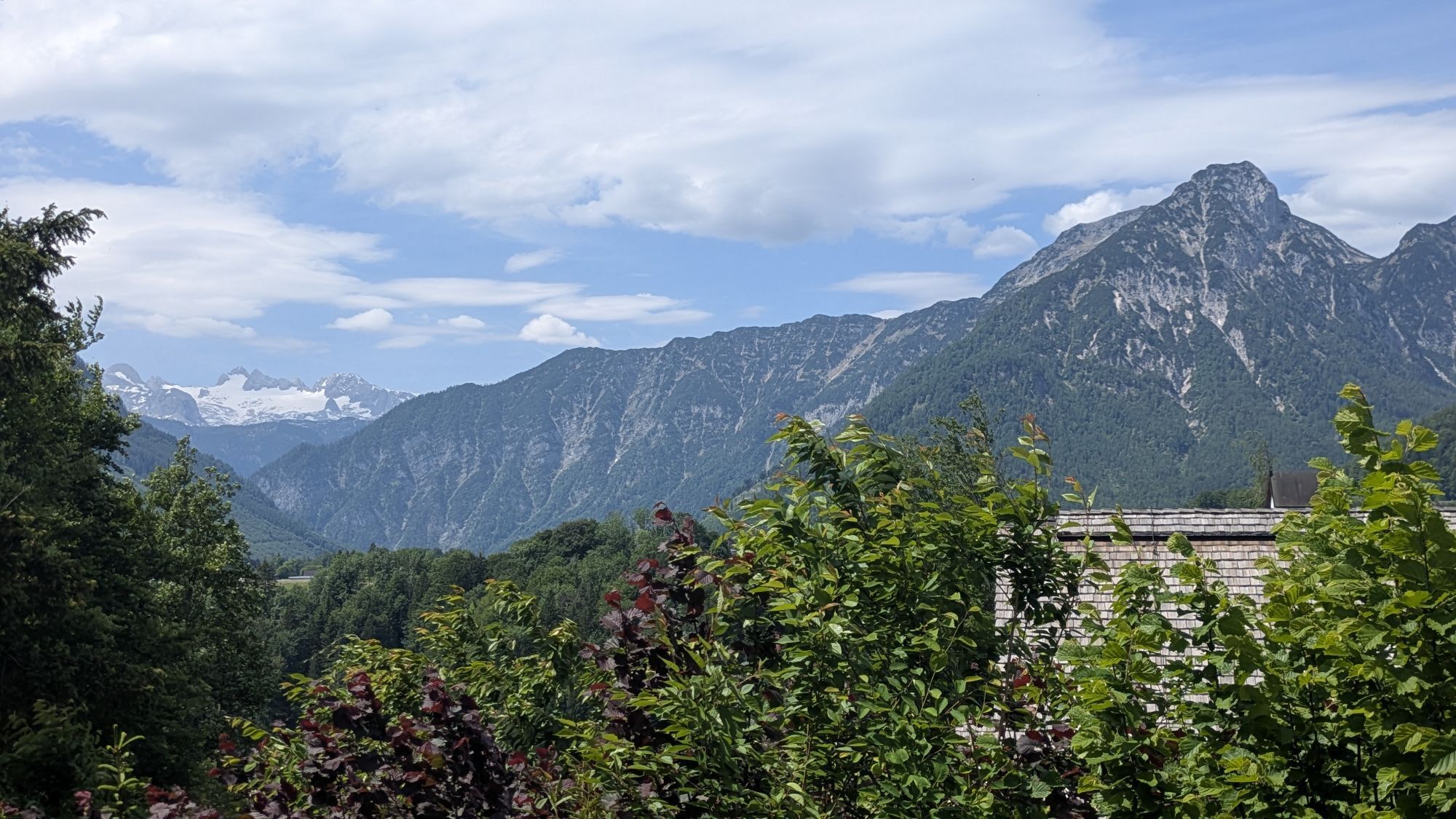
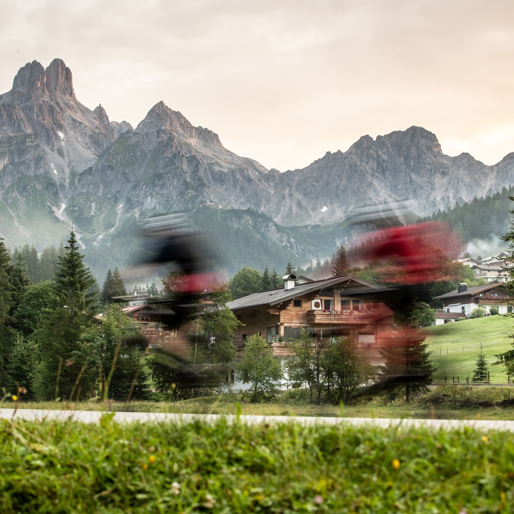
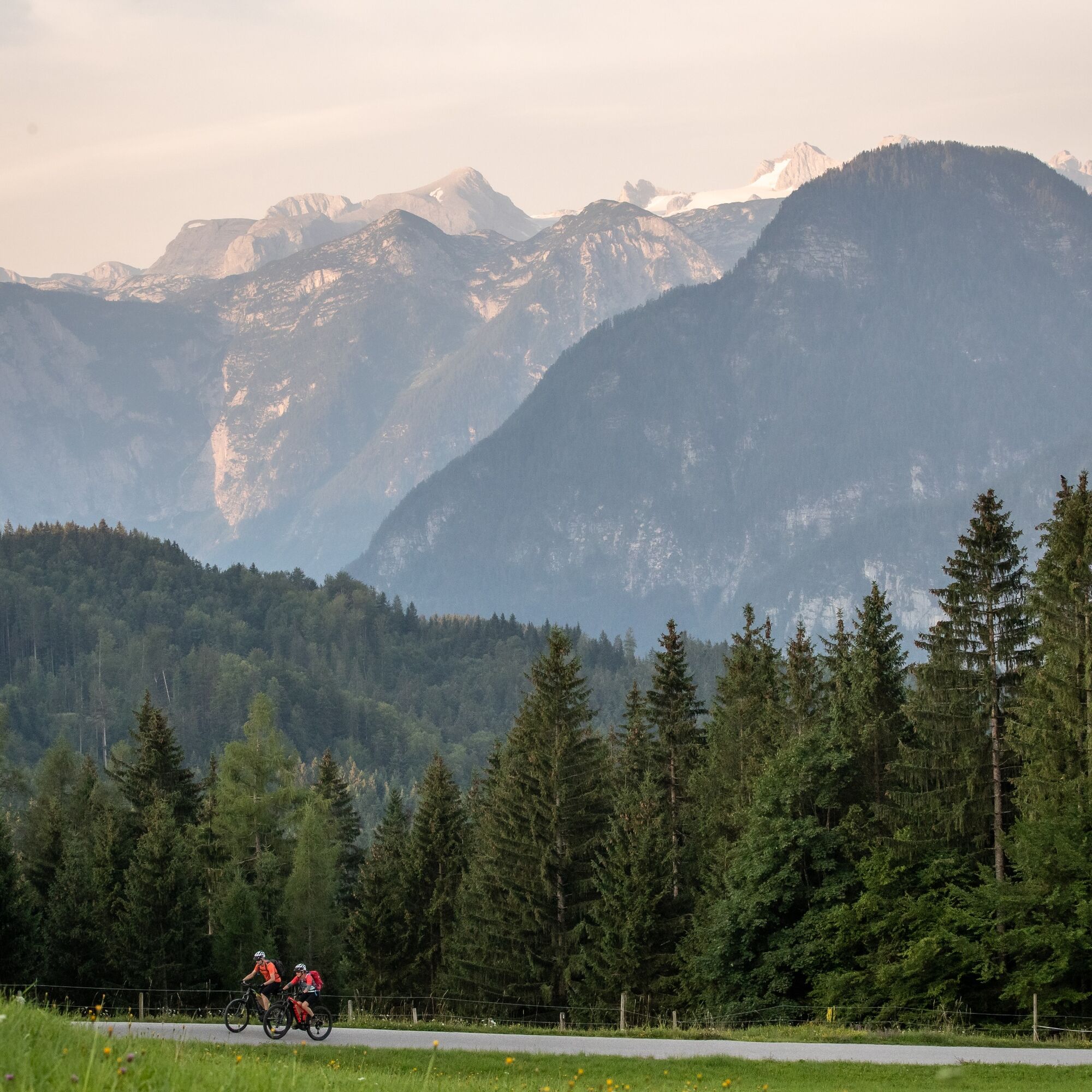
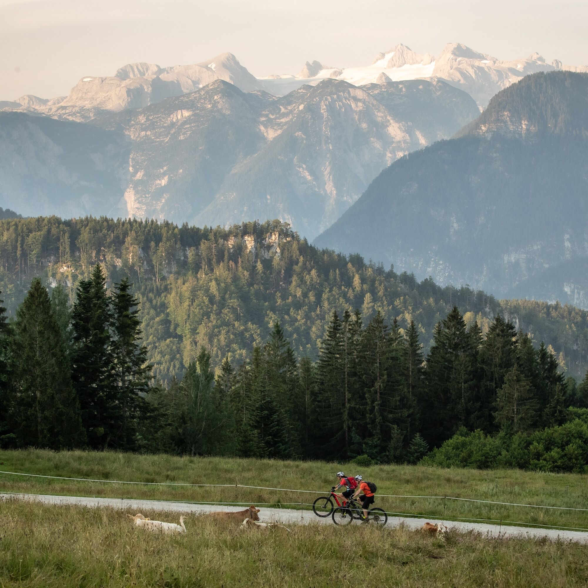
La Dachsteinrunde Classic (auparavant « variante bleue ») est depuis des années l'une de nos sorties VTT les plus appréciées - l'entrée idéale dans l'aventure VTT en randonnée ! Partant du lieu de la MTB Trophy Bad Goisern dans la région Dachstein-Salzkammergut, vous faites du VTT dans le sens des aiguilles d'une montre autour du vaste plateau calcaire. Le sommet majestueux du Dachstein se révèle à plusieurs reprises, tandis que le parcours VTT traverse le Salzkammergut-Ausseerland, passant par le Viehbergalm vers la vaste vallée de l'Ennstal. En montant vers Ramsau, les faces sud à couper le souffle s'ouvrent devant vous depuis la Dachsteinrunde, avant que les pistes VTT ne se prolongent dans le SalzburgerLand. Laissant derrière vous les pics du Gosaukamm, vous revenez faire du VTT au bord du lac Hallstätter See dans le Salzkammergut de Haute-Autriche.

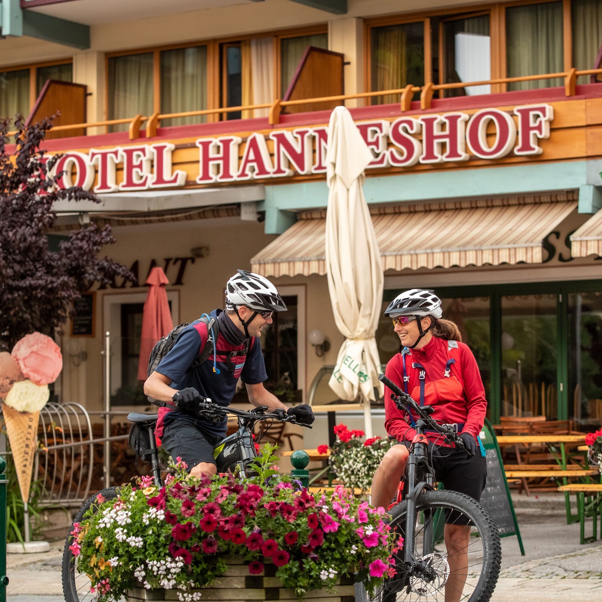
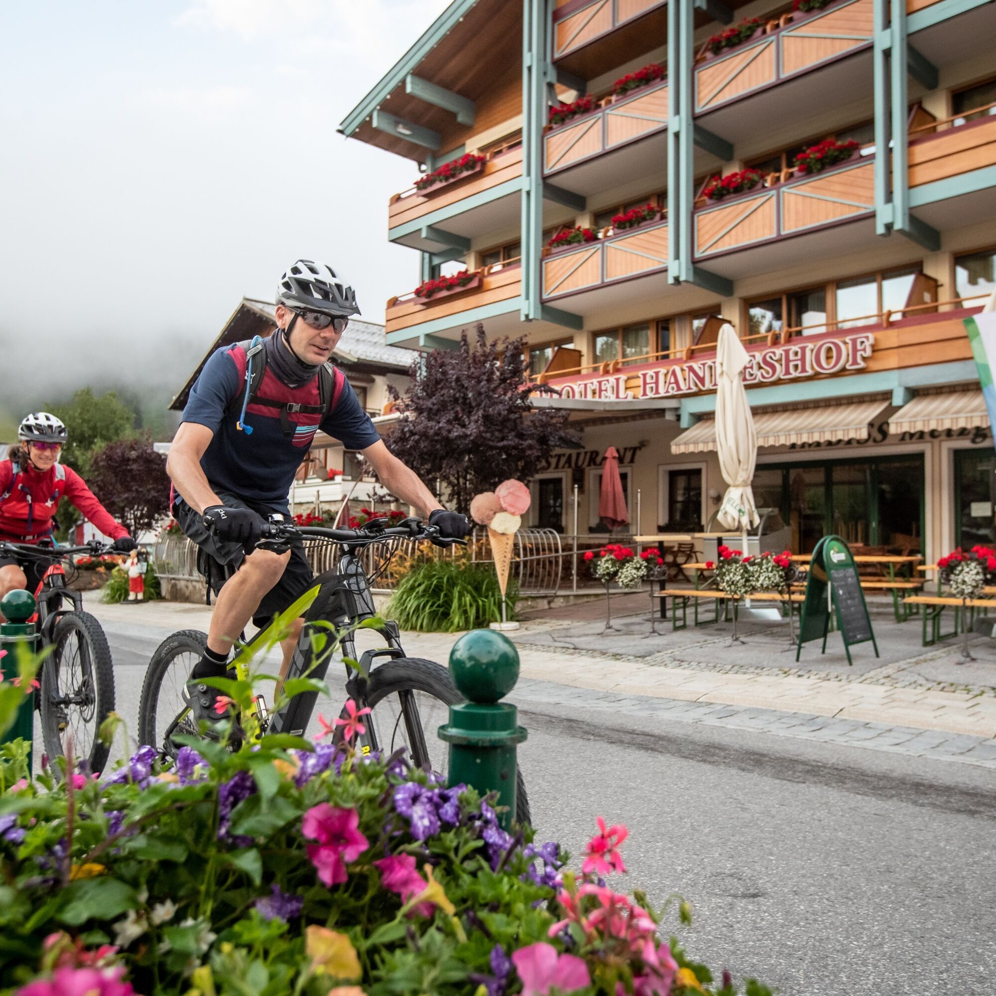
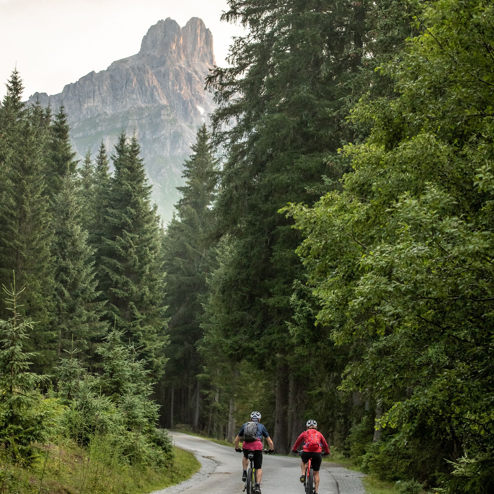
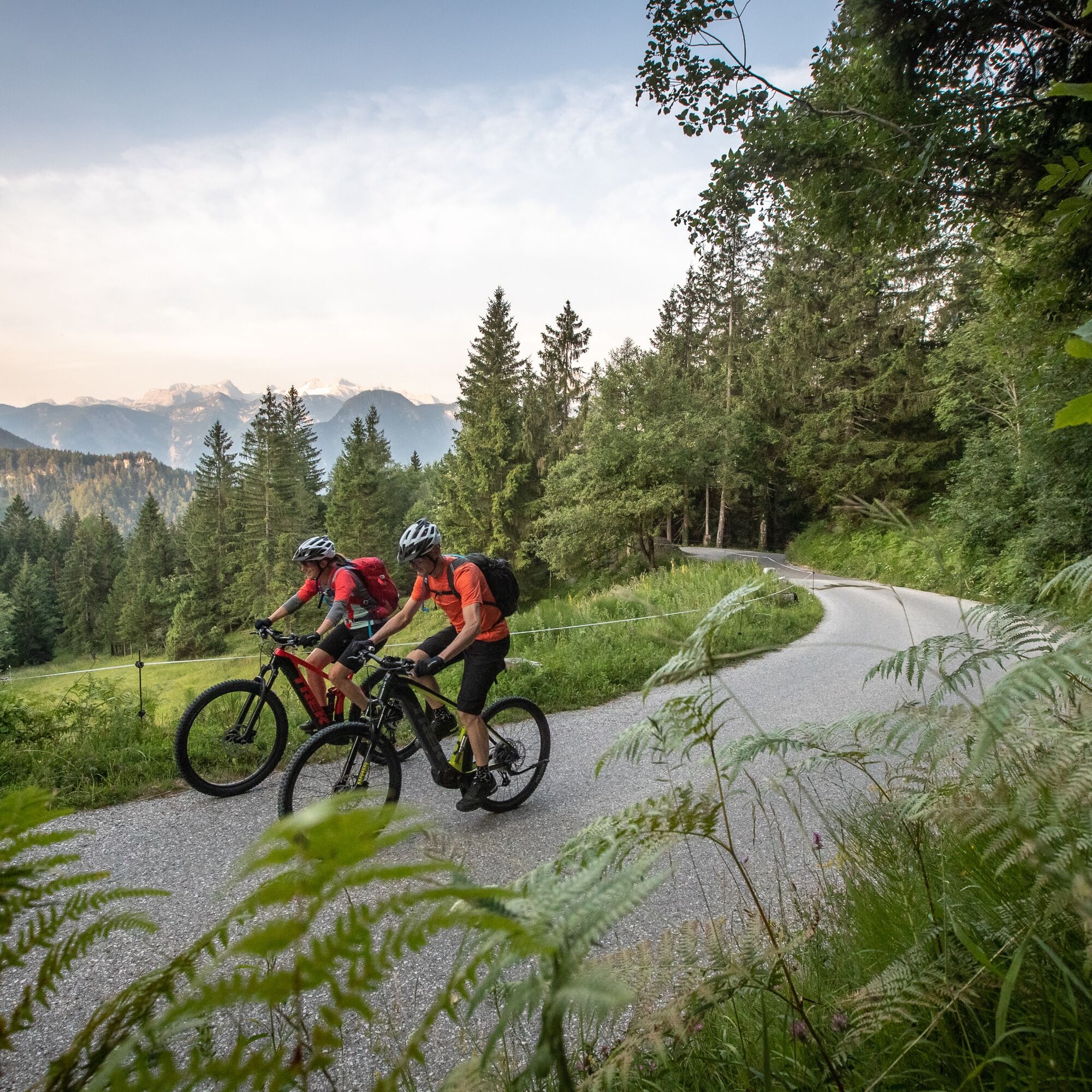
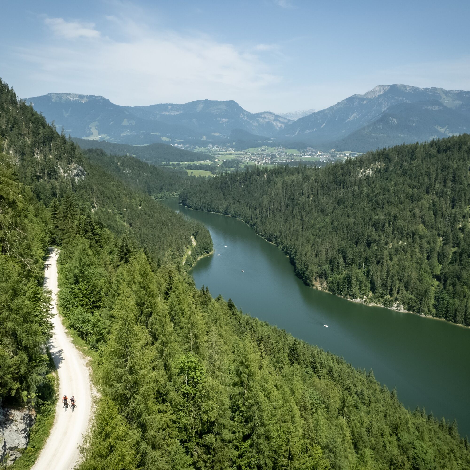
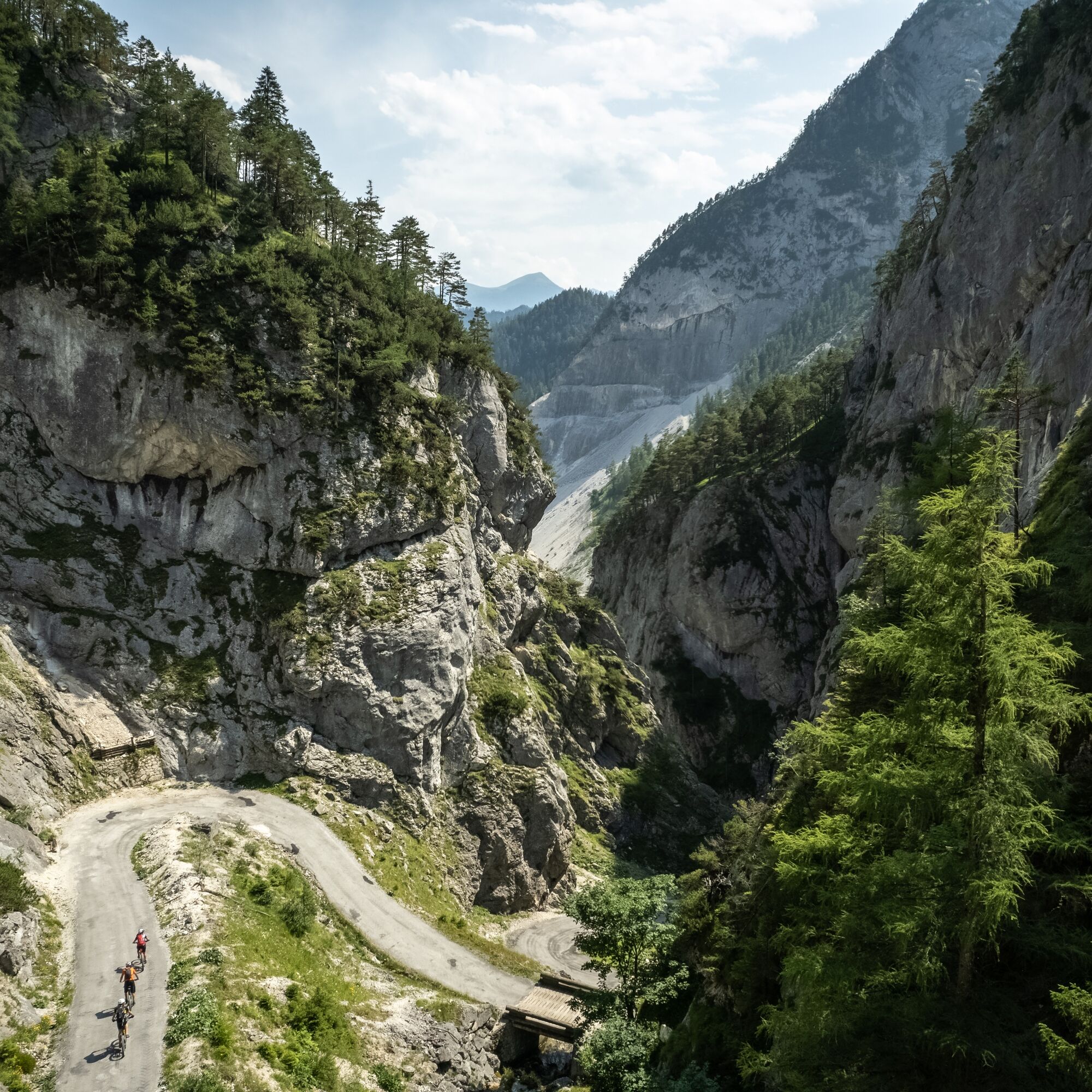
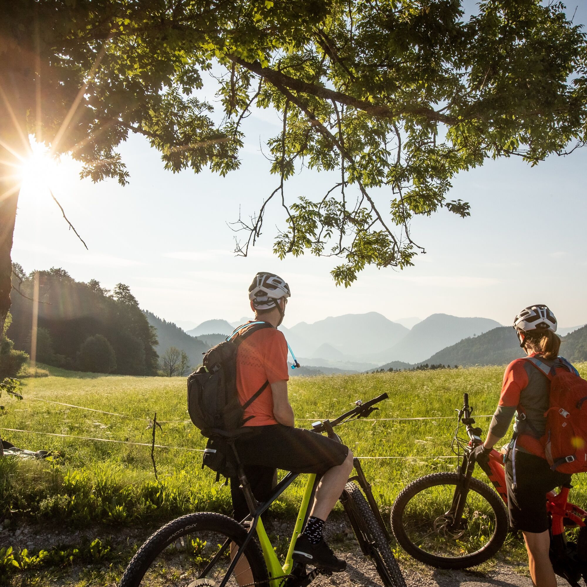
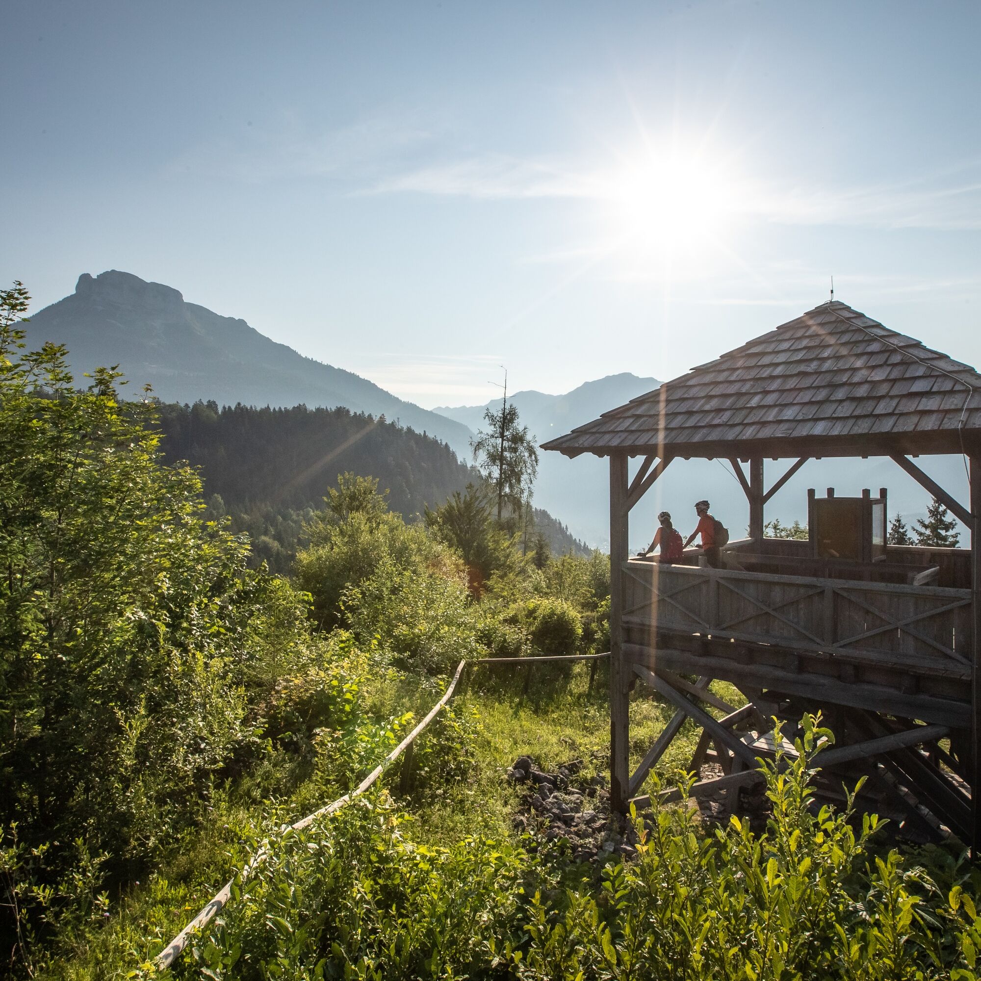
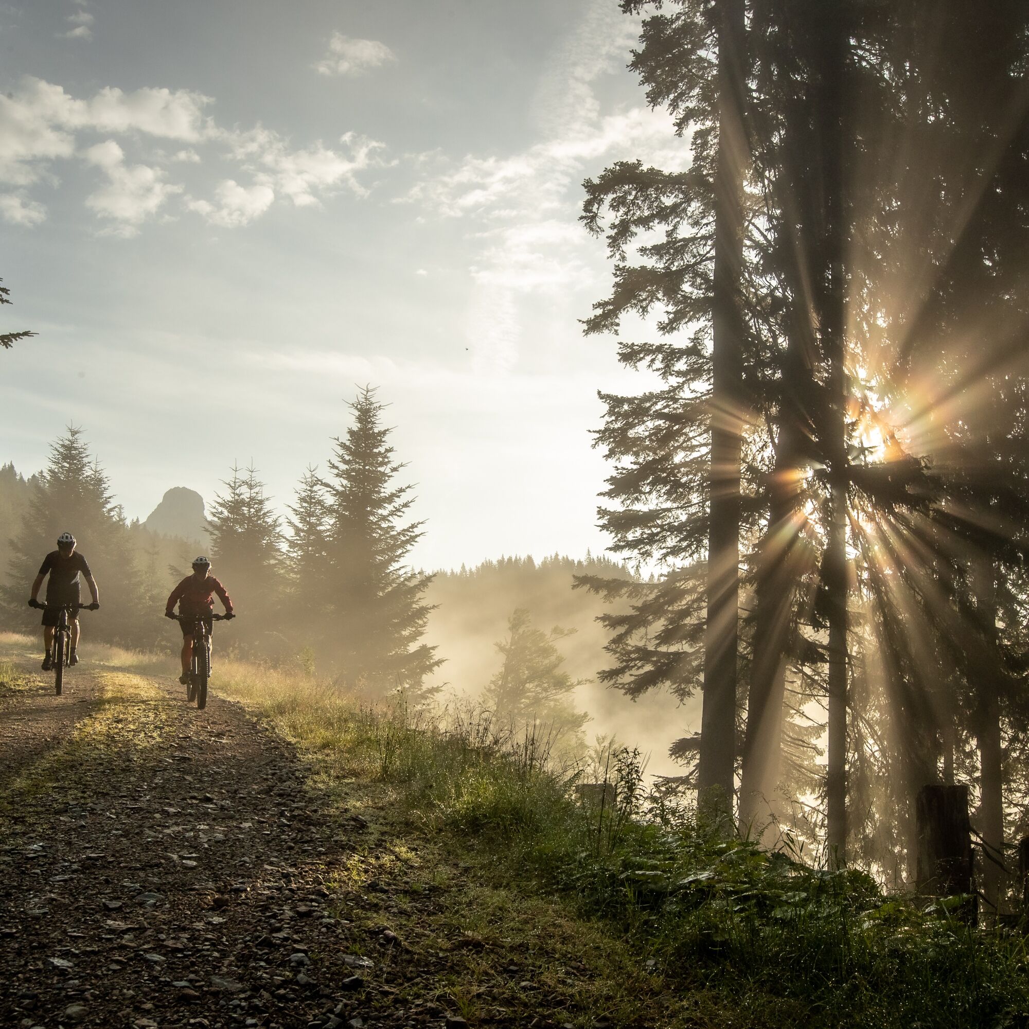
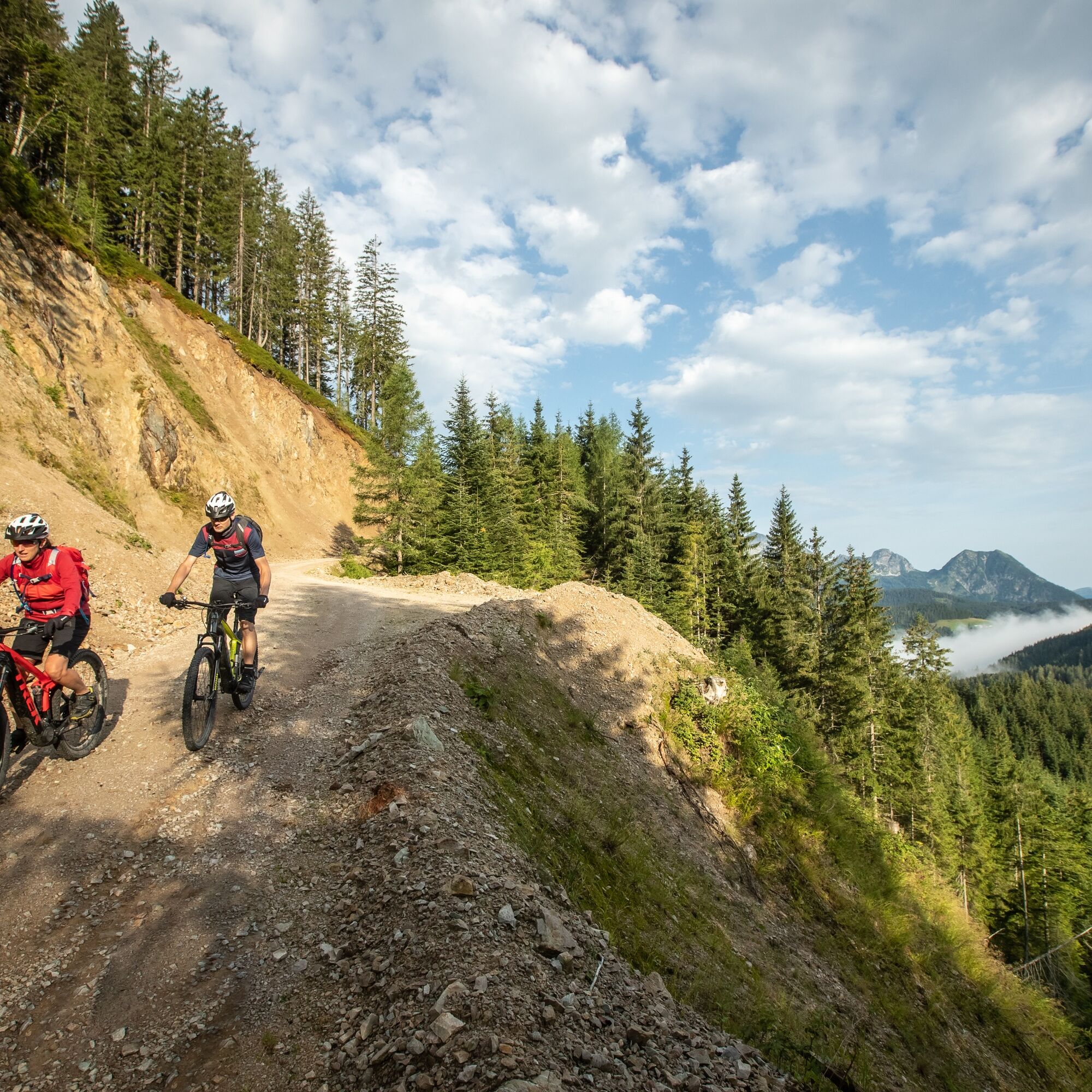
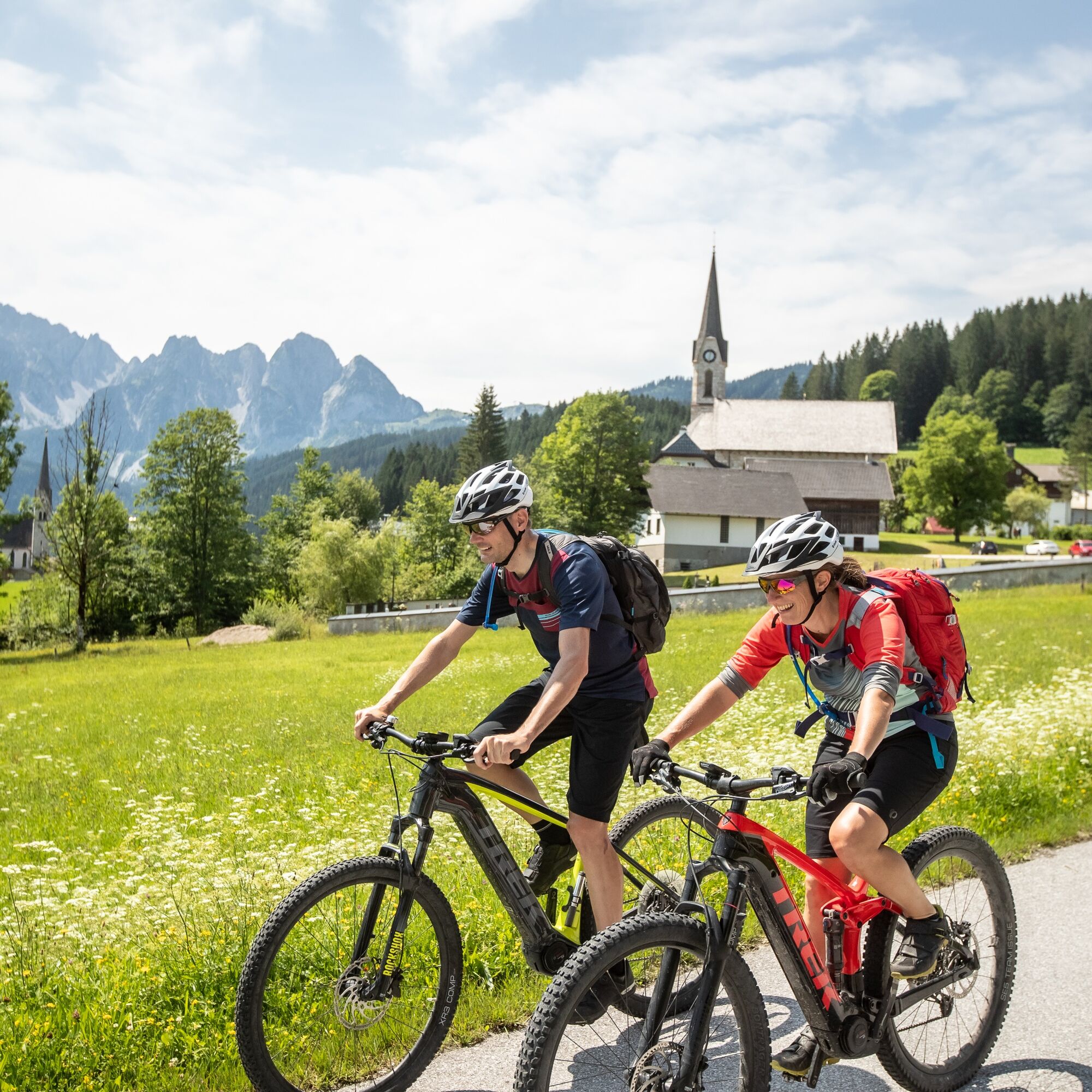

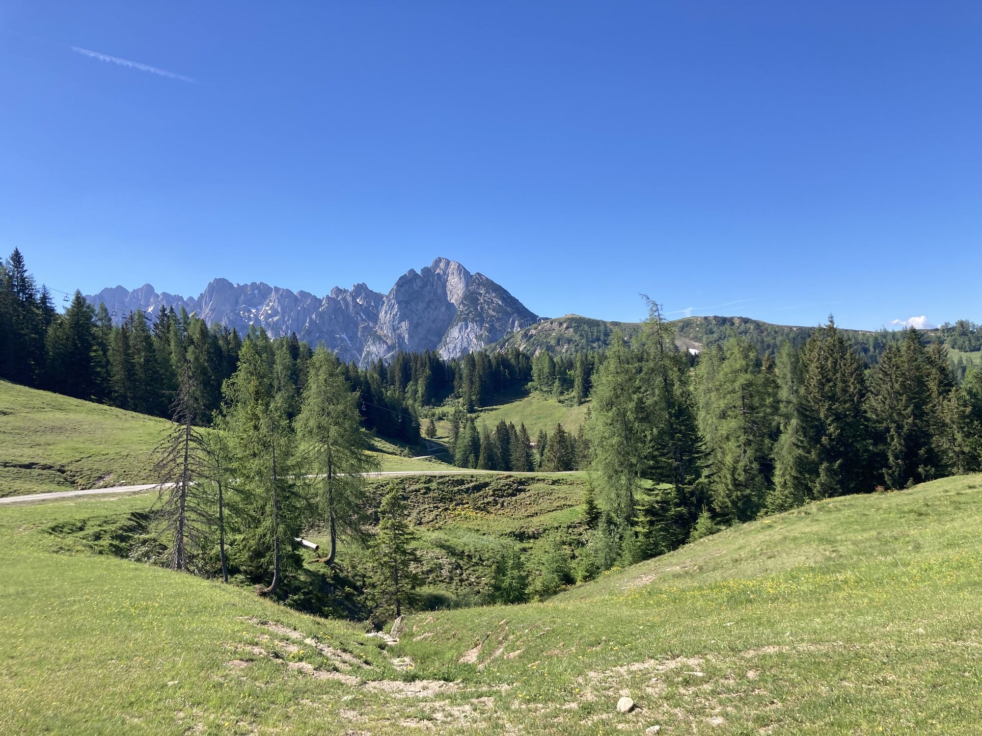
Passing the Schilchreit Inn and following Sulzbach Road, the route alternates between paved and gravel surfaces. Quiet mountain roads and forest tracks lead to Rauenbach Road before continuing towards Annaberg. At the Lammertal Riding Estate, the climb to Edtalm and Hornspitz begins. A series of switchbacks winds through the forest before opening up to magnificent views of the Tennengebirge mountains and the Gosaukamm range. A long forest road descent via Zeishofalm leads to Pass Gschütt.
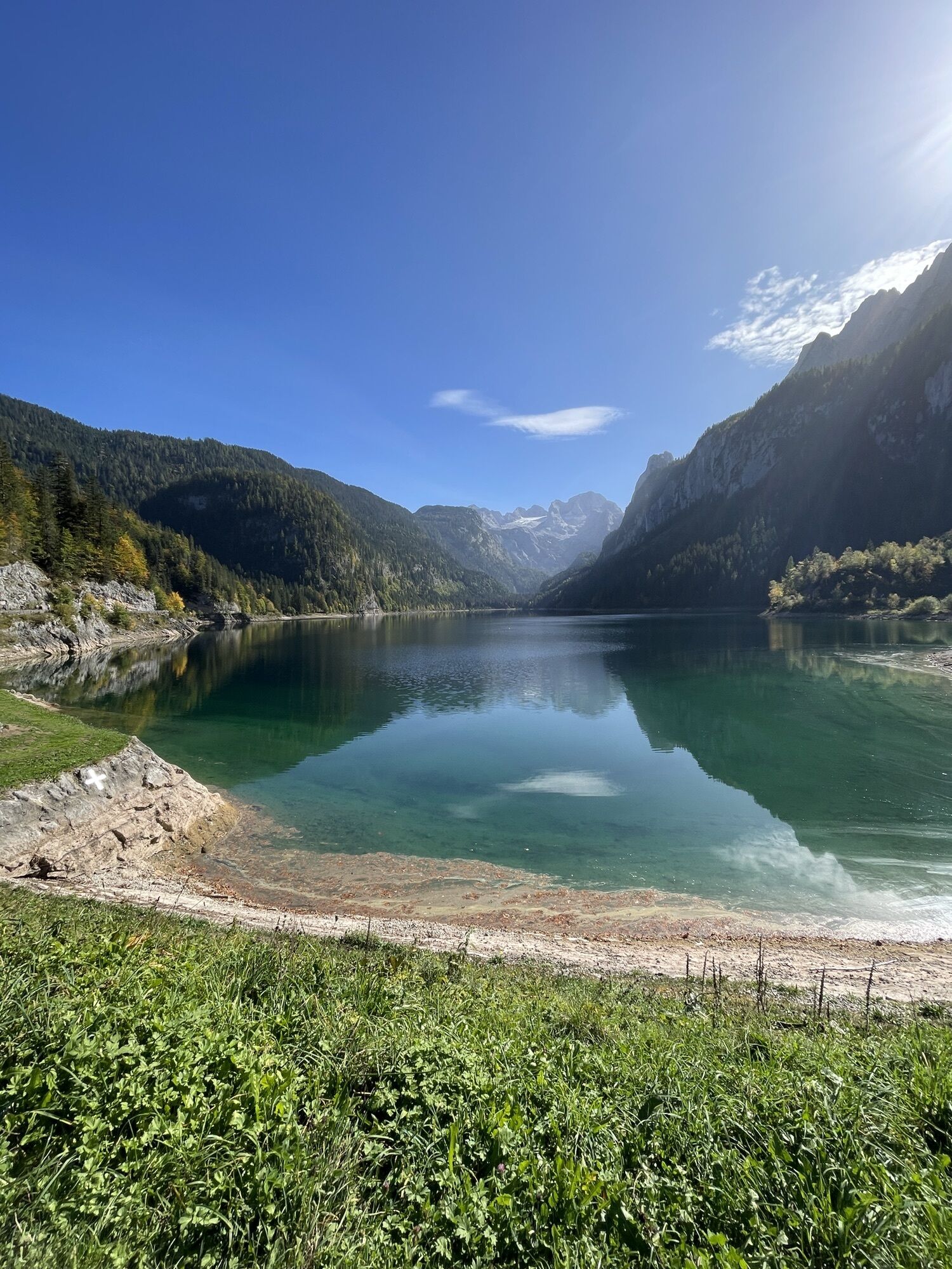
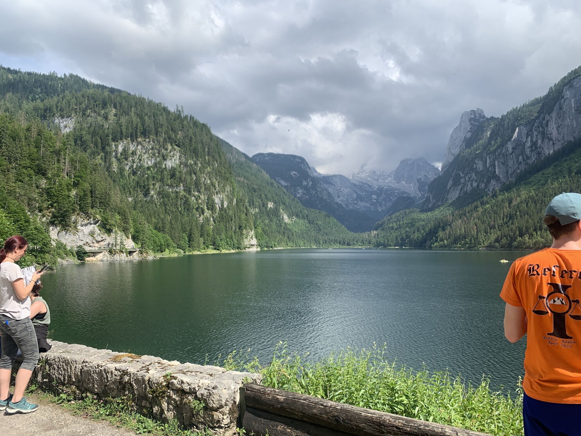
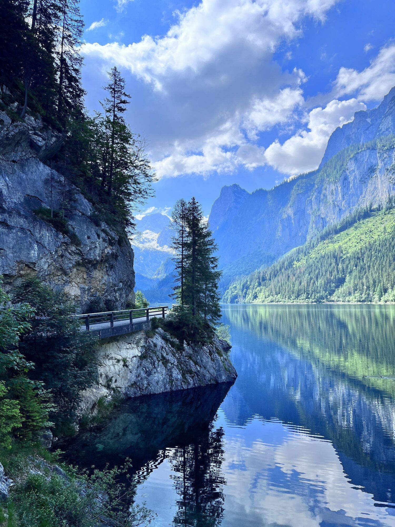
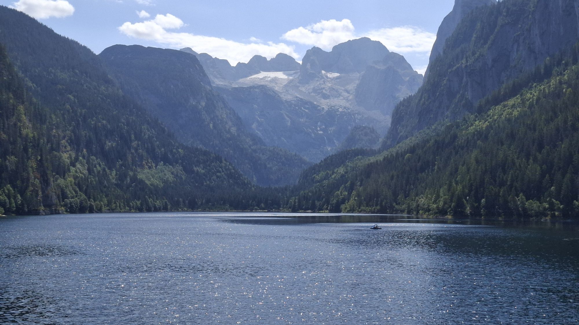
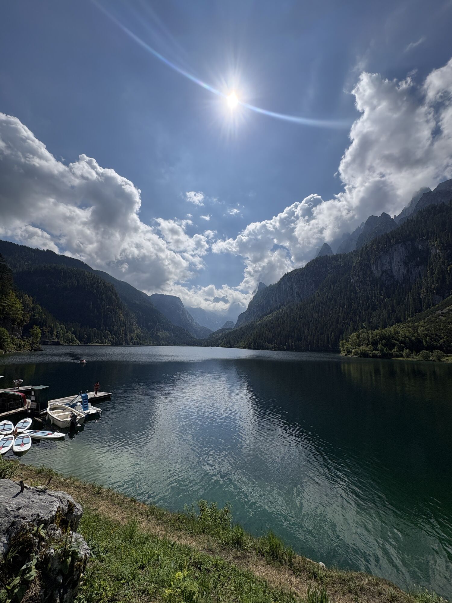
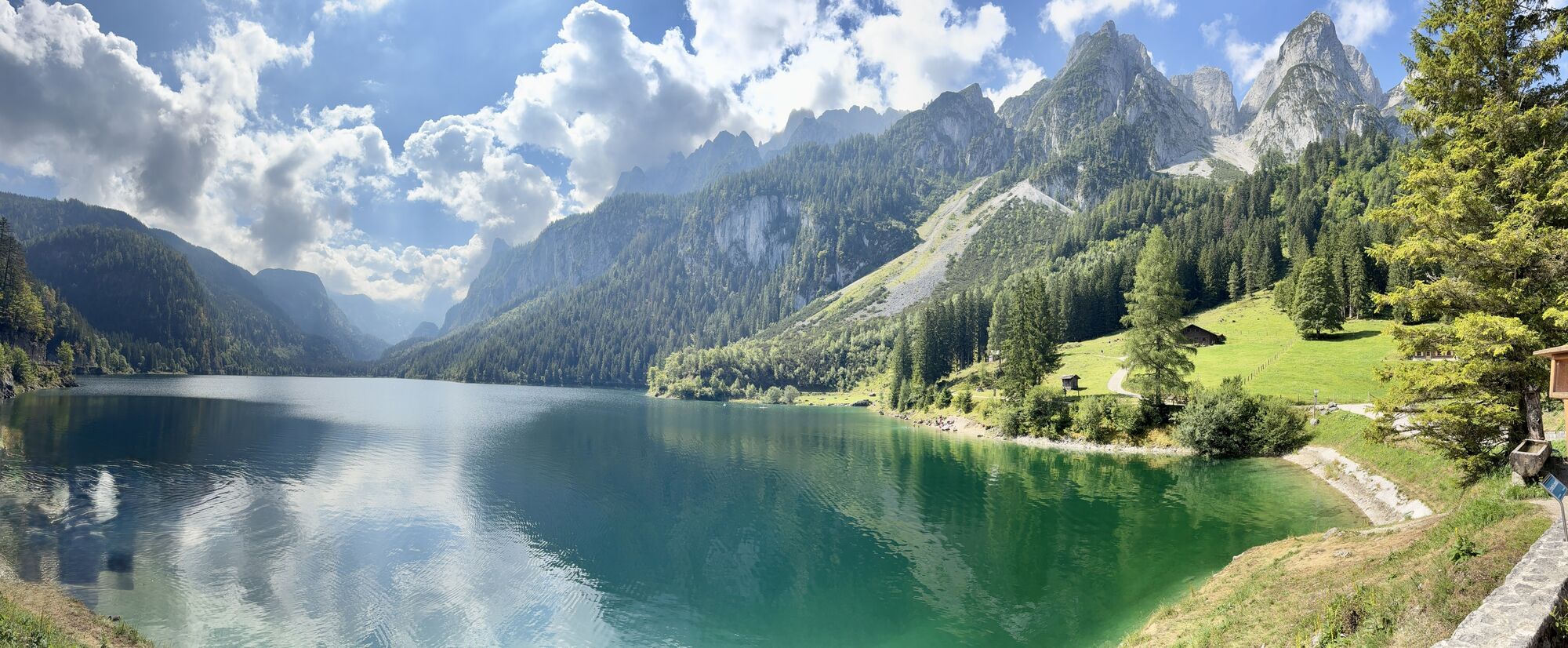
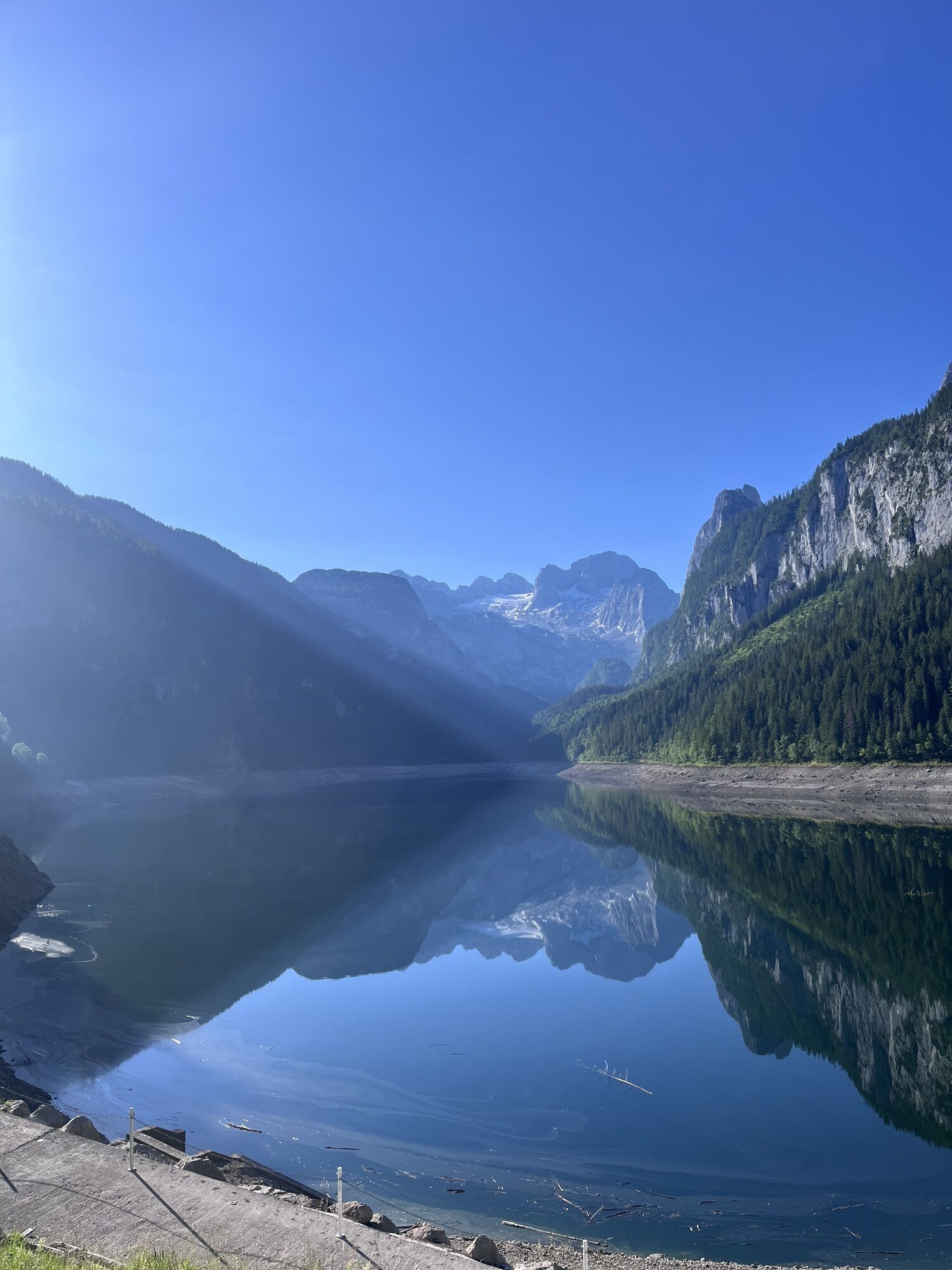
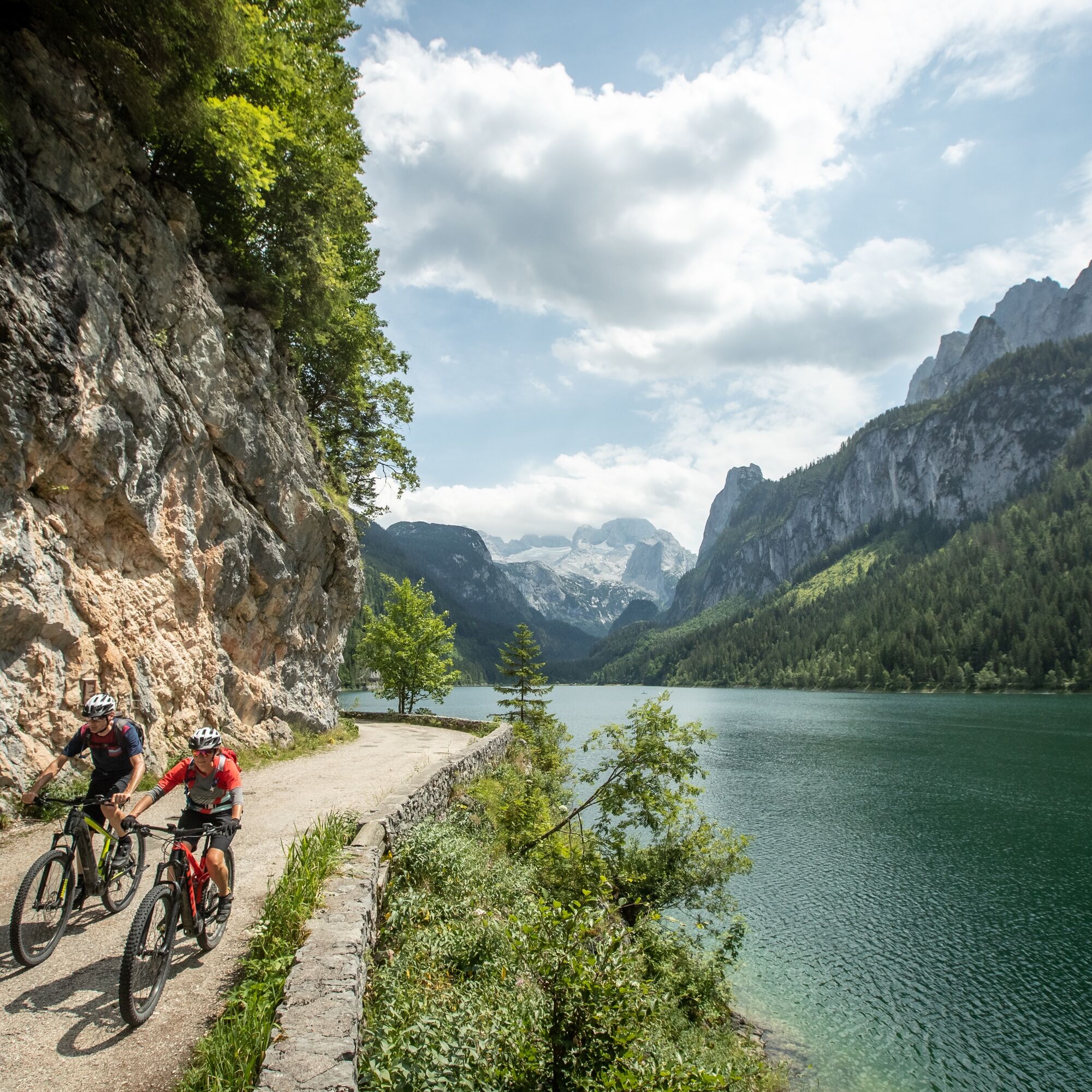
After crossing the Pass Gschütt road, the route follows peaceful forest roads into the Gosau Valley. Via Wegscheid Road and the district of Ramsau, you reach the Hintertal Valley and eventually the picturesque Lake Gosau. The panoramic view of the Gosaukamm and the Dachstein Massif is one of the highlights of the entire circuit.
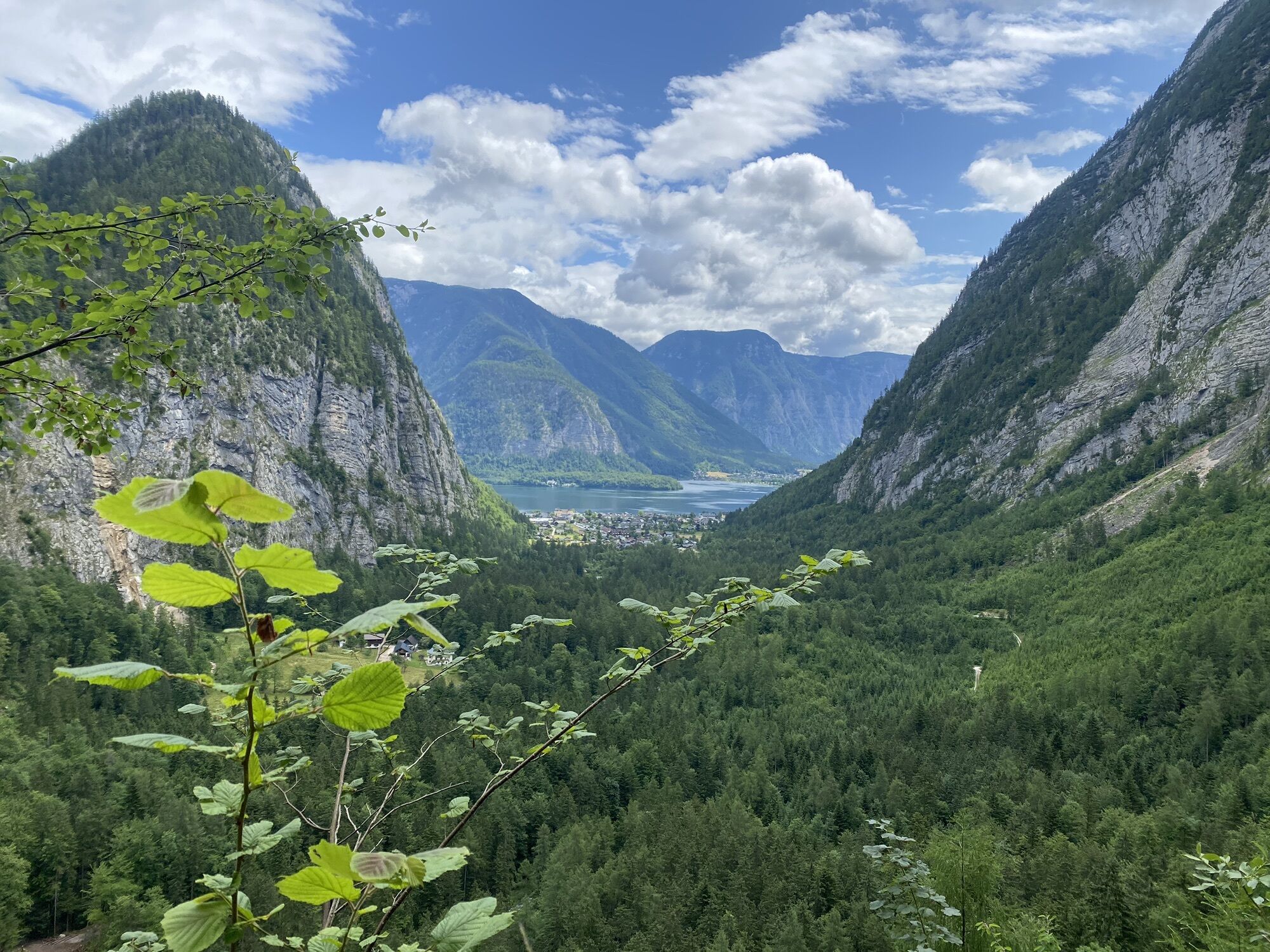
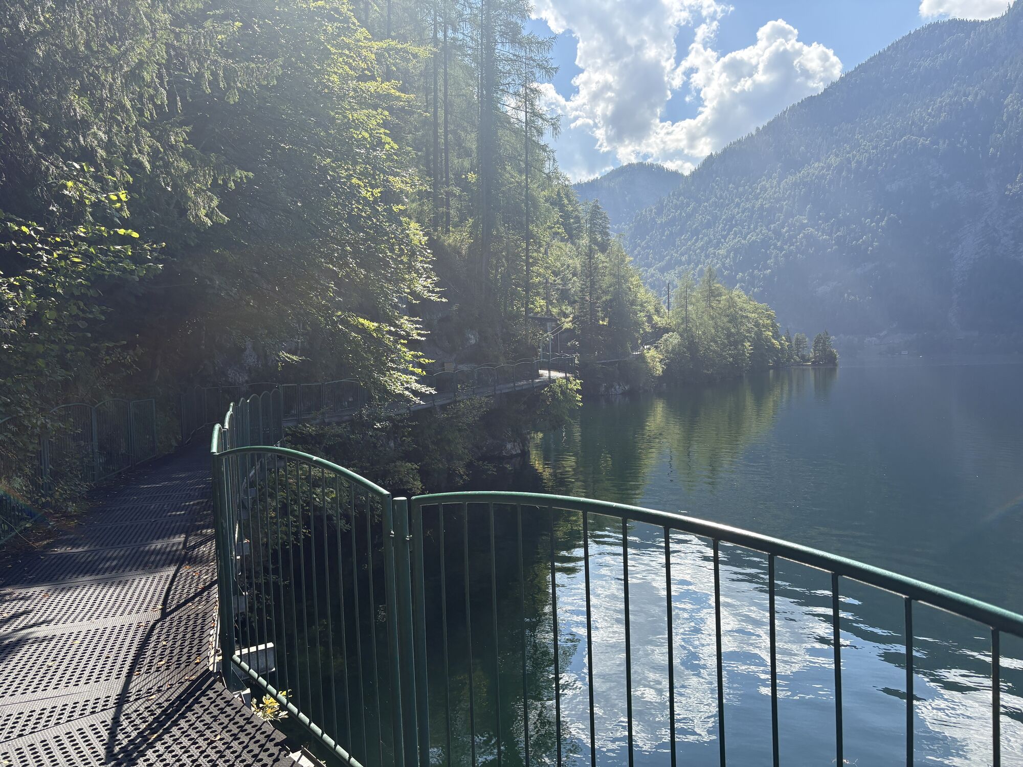
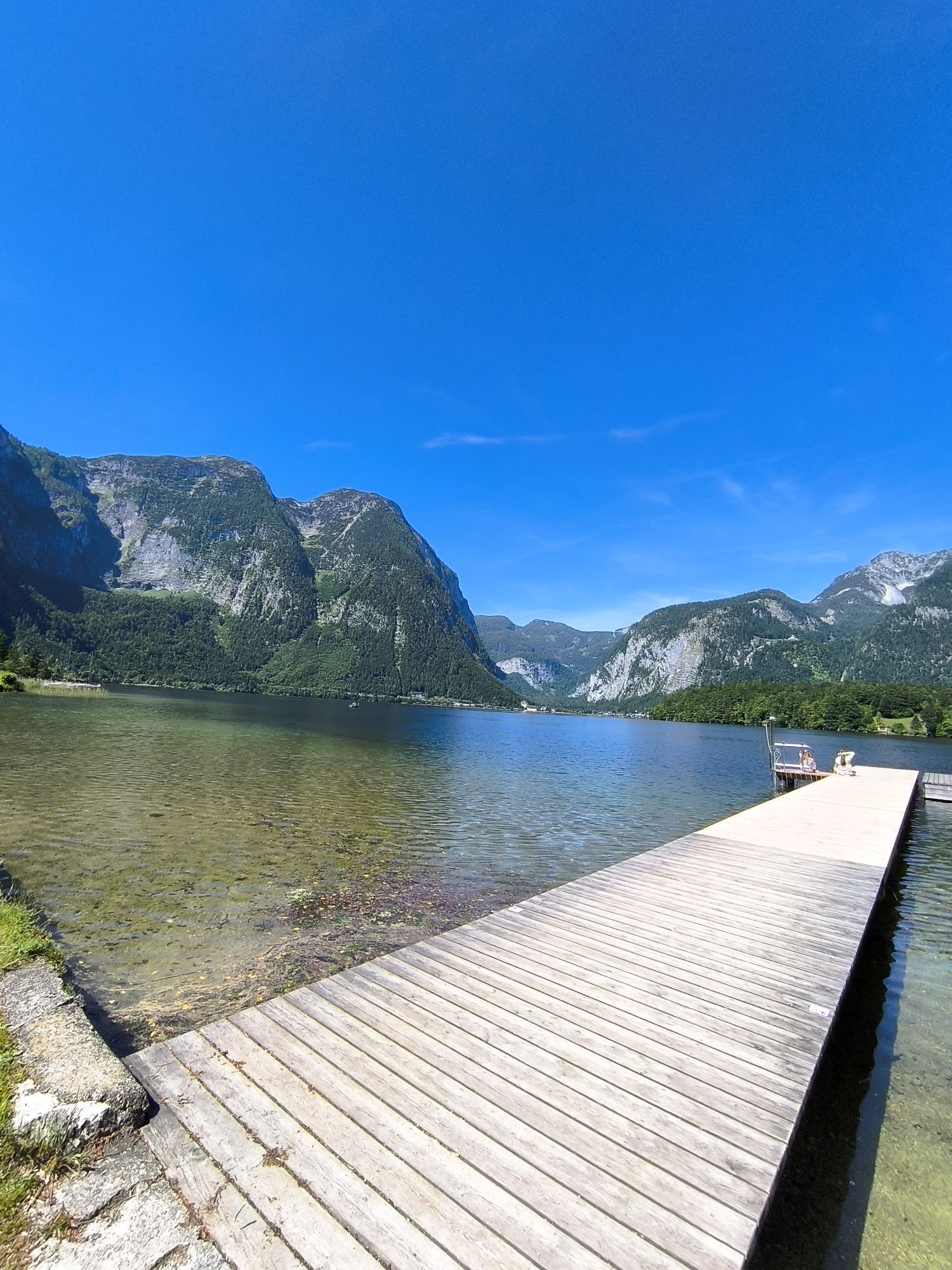
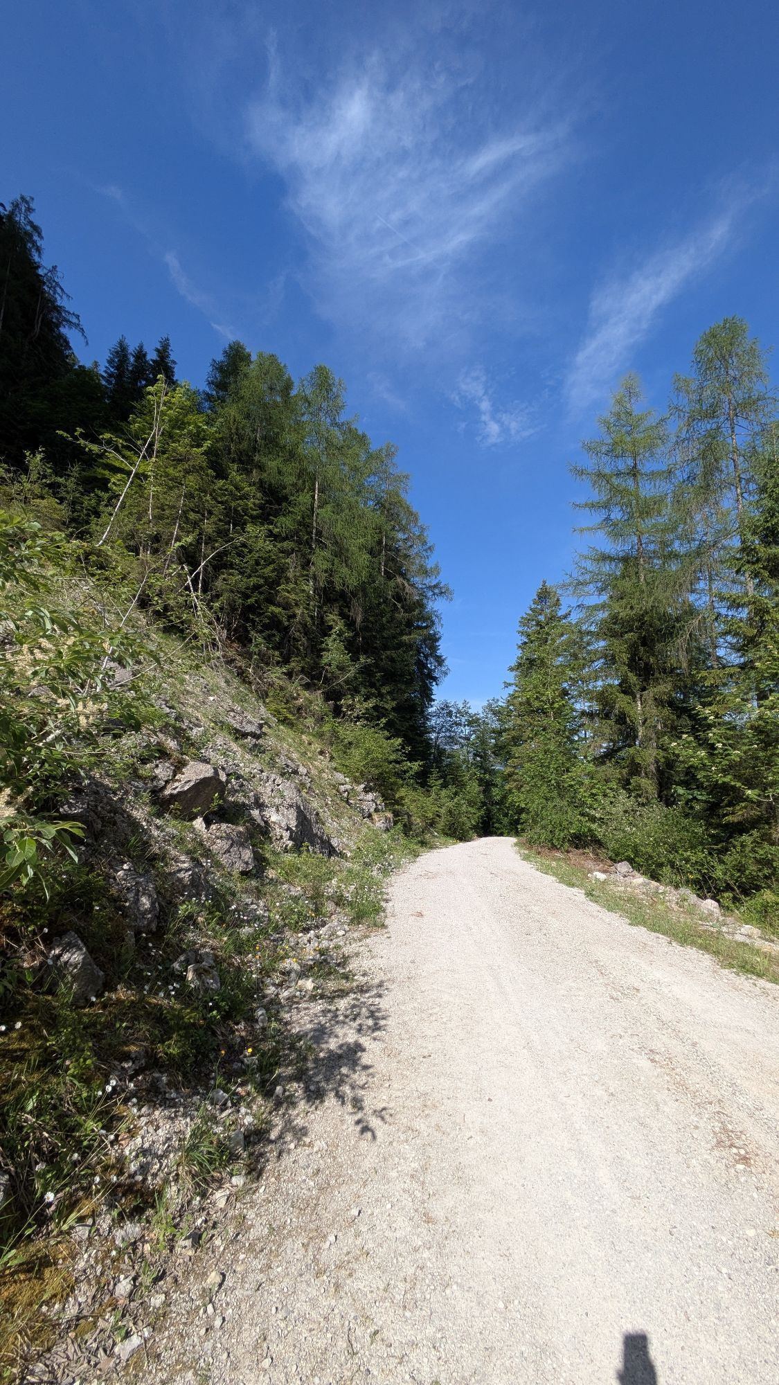
The longest climb of the tour begins directly at the lake. Numerous switchbacks take you past Ebenalm, Plankensteinalm and Löckernsee before reaching Rossalm. Shortly afterwards, the route reaches Strähnhag, the highest point of this section. A long and partly fast descent follows via Waldbachstrub to Hallstatt. The route then continues along Lake Hallstatt to Obertraun and follows the idyllic eastern lakeside cycle path to Bad Goisern.
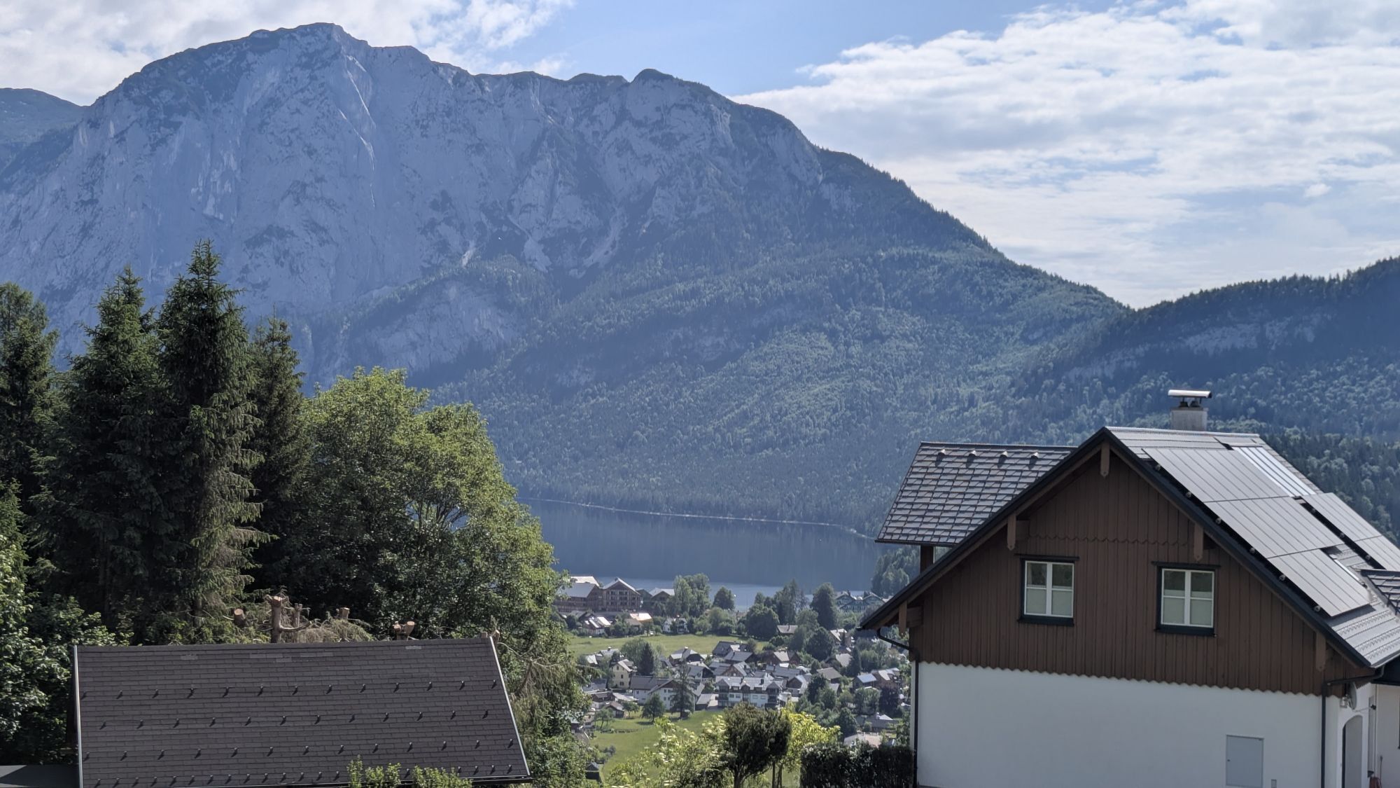
In Bad Goisern, the next climb begins via Leisling along the Großer Zlambach stream. Passing Leisling Hut, the route heads towards Halleralm and Raschberg. Forest roads alternate with short natural trail sections before crossing into the province of Styria. After an enjoyable descent, you arrive at the ruins of Pflindsberg Castle. A short detour to the ruins is well worthwhile for the spectacular views over Lake Altaussee.
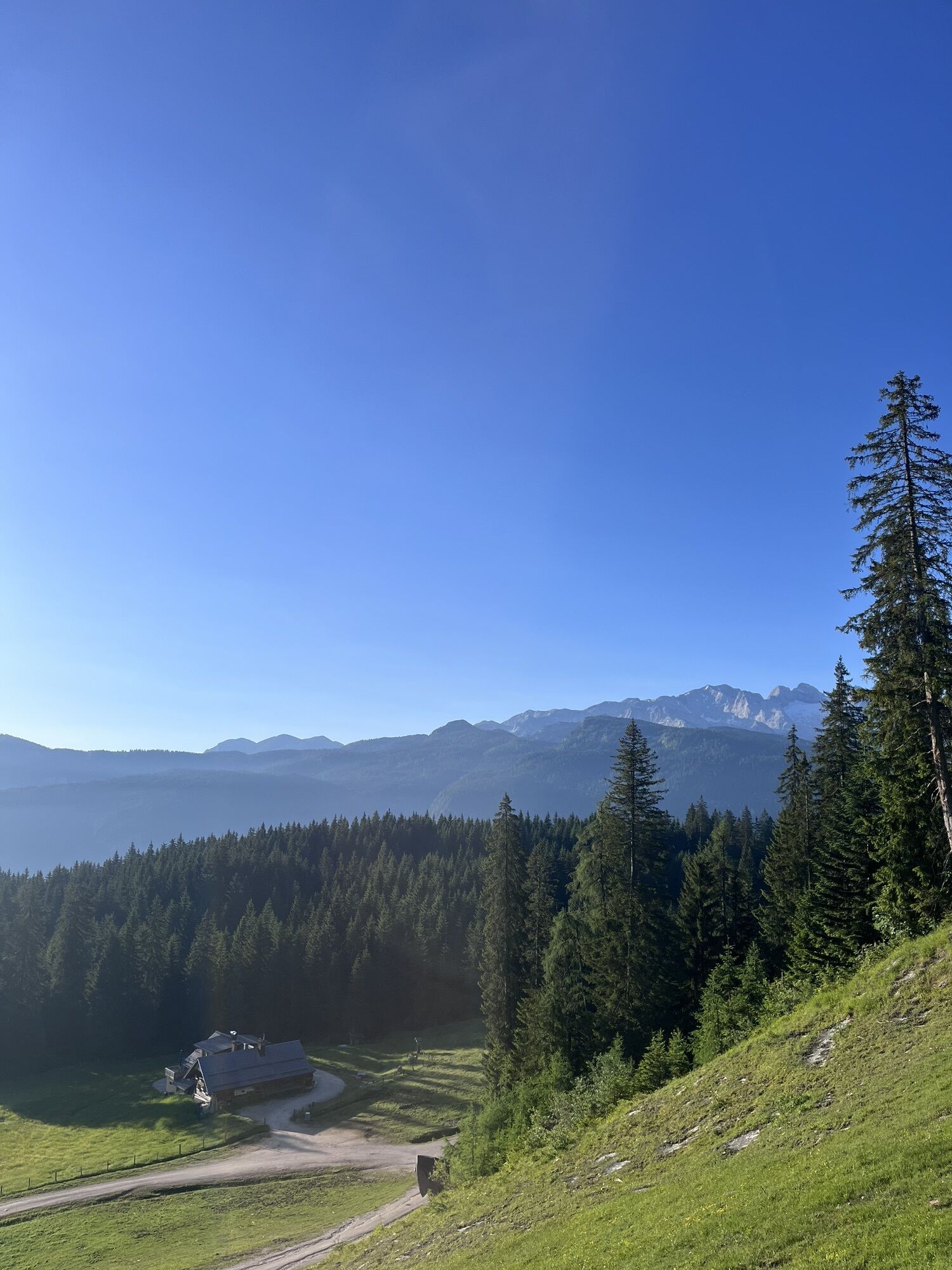
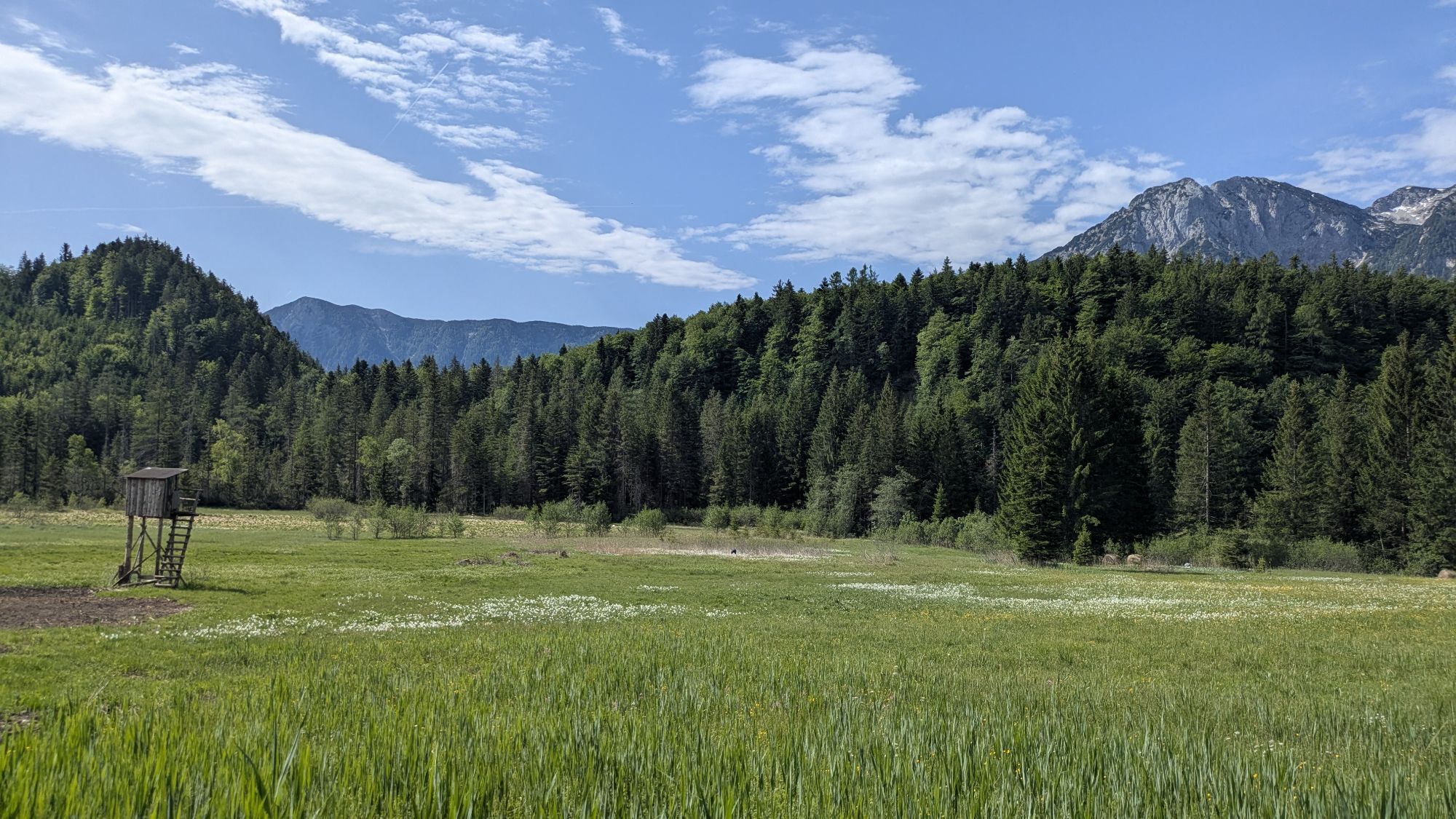
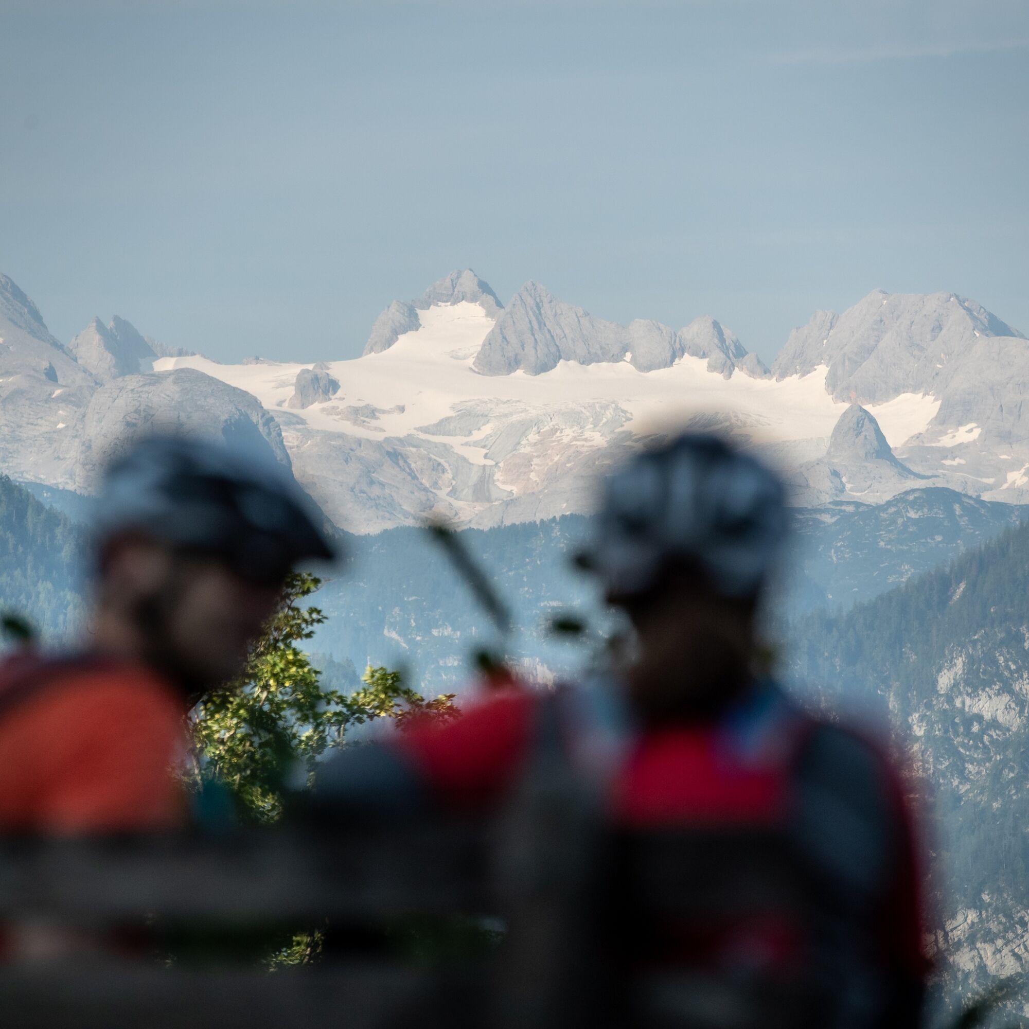
Steep local roads lead down to Altaussee and on through Bad Aussee. After leaving the town, the route passes Lake Ödensee and continues through the idyllic moorland towards Mühlreith. The following climb takes riders to Steinitzenalm and continues along Almgraben Road to Kraglhütte. Soon afterwards begins the ascent to Viehbergalm, another scenic highlight of the Dachstein Circuit (S840). Here, breathtaking views of the Dachstein Glacier and the surrounding mountain landscape await.
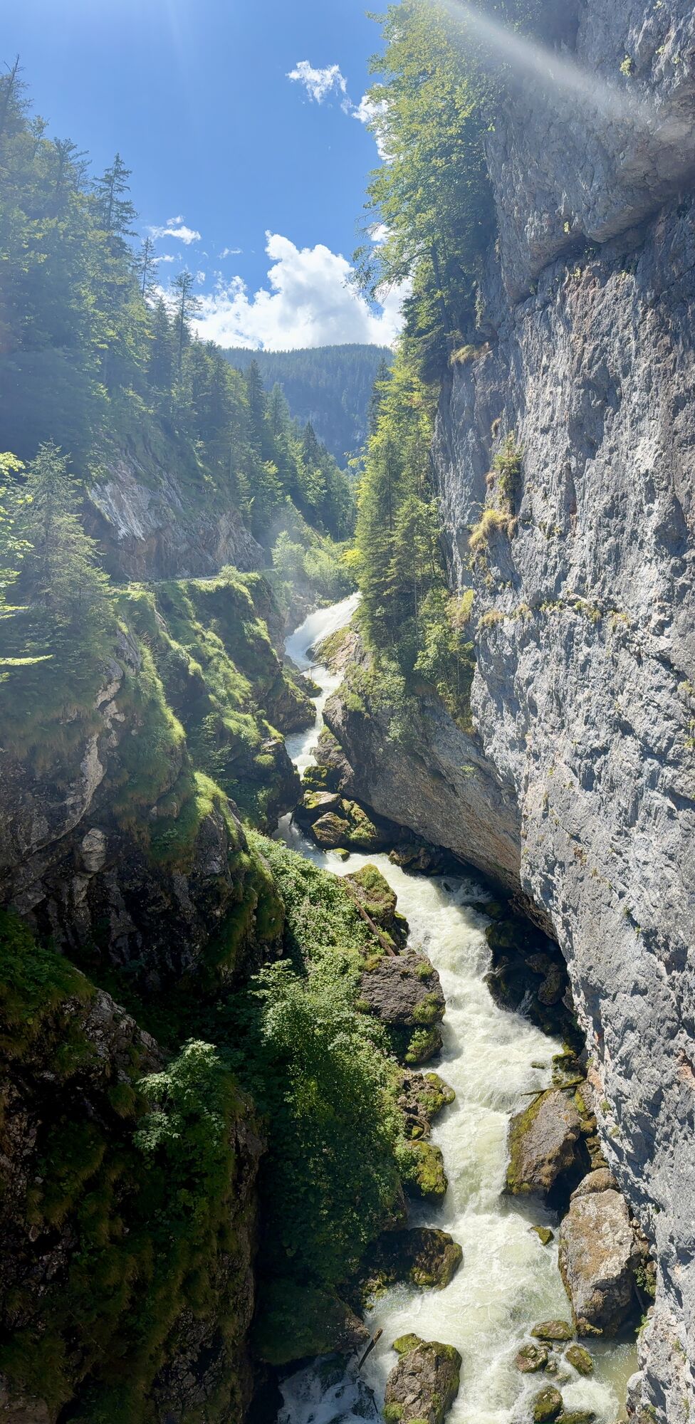
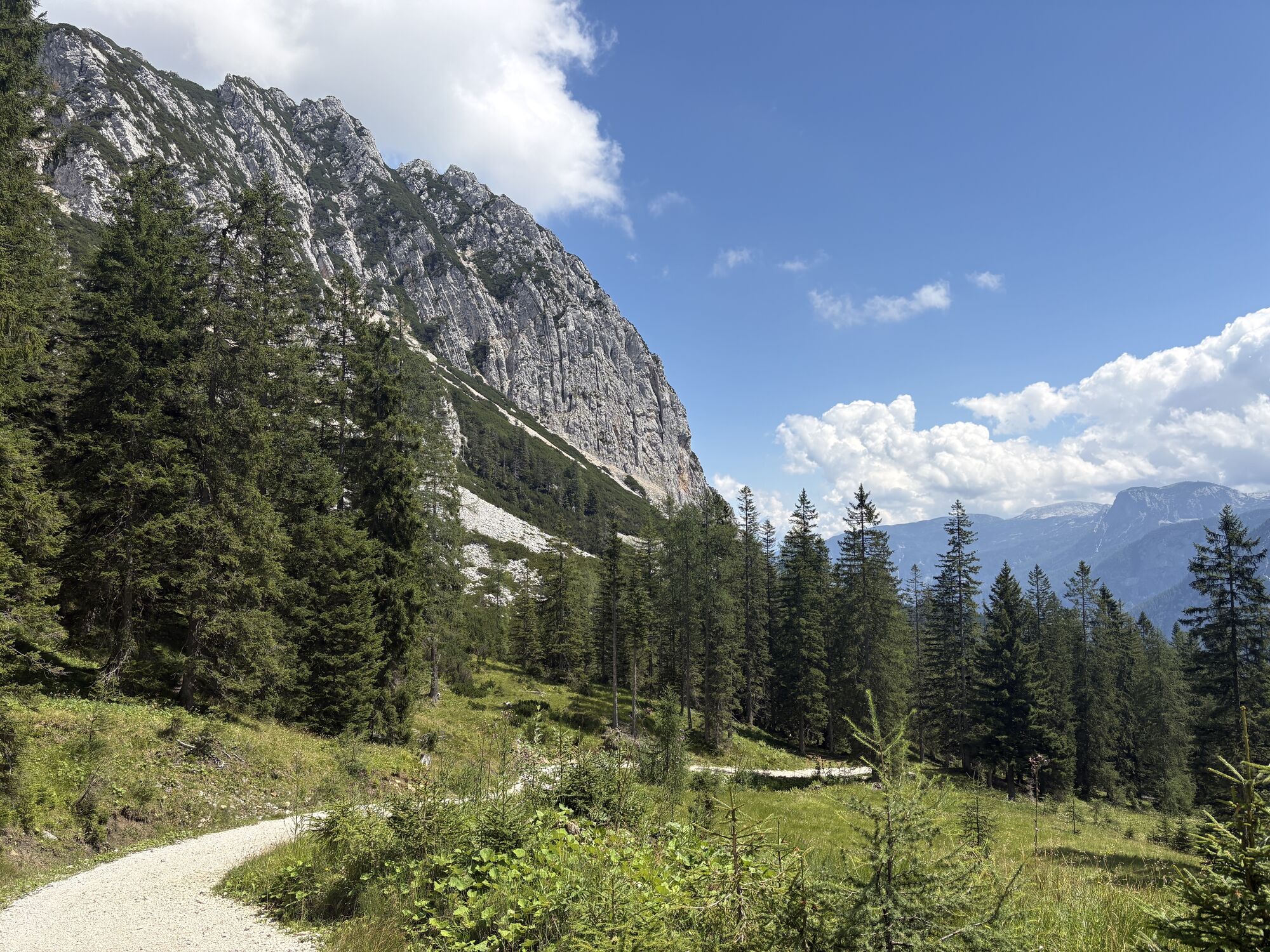
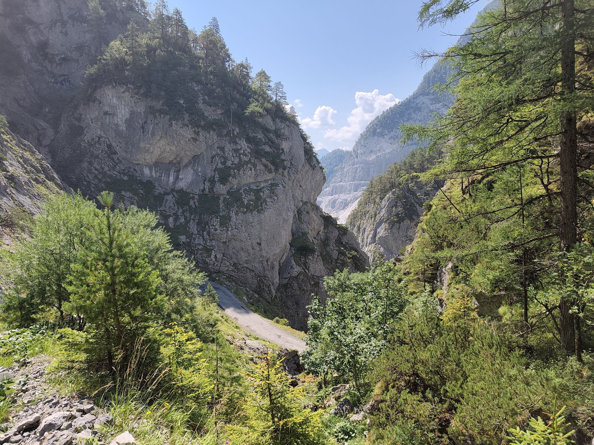
A long descent through the famous Öfen brings you to Gröbming. From there, the route follows cycle paths and quiet side roads upstream along the Enns River to Weißenbach. This marks the beginning of the final climb onto the Ramsau plateau. Quiet mountain roads lead to the Dachstein cable car valley station and Brandalm. One of the most beautiful sections of the entire tour follows, traversing alpine meadows and mountain pastures beneath the impressive south faces of the Dachstein Massif towards Bachlalm, where marmots can often be spotted.
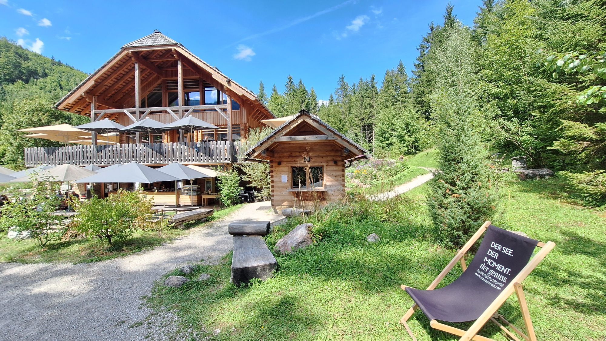
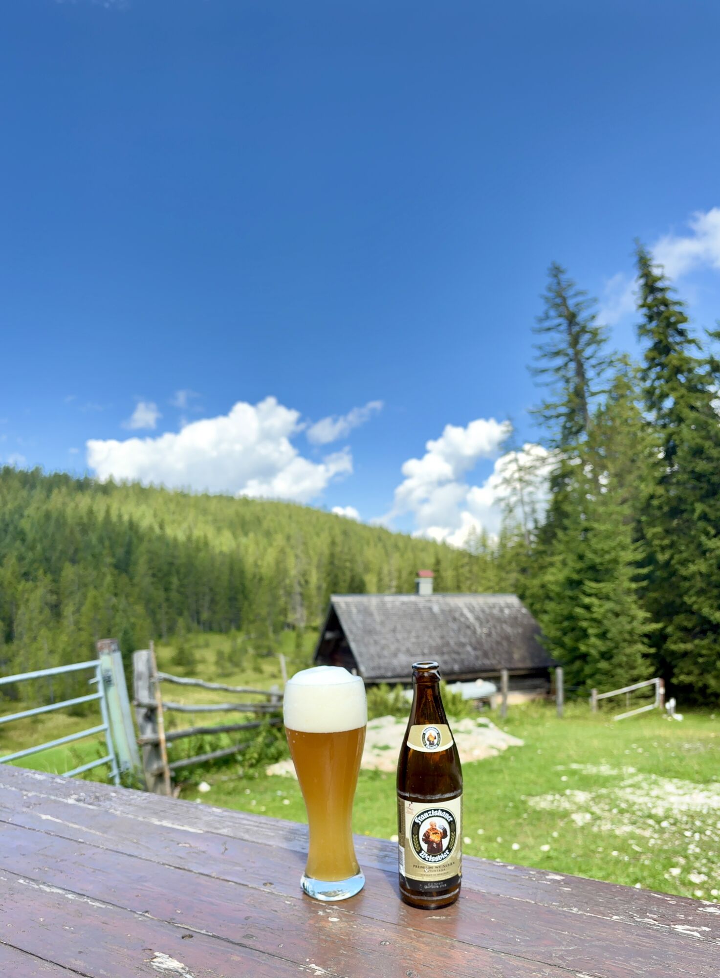
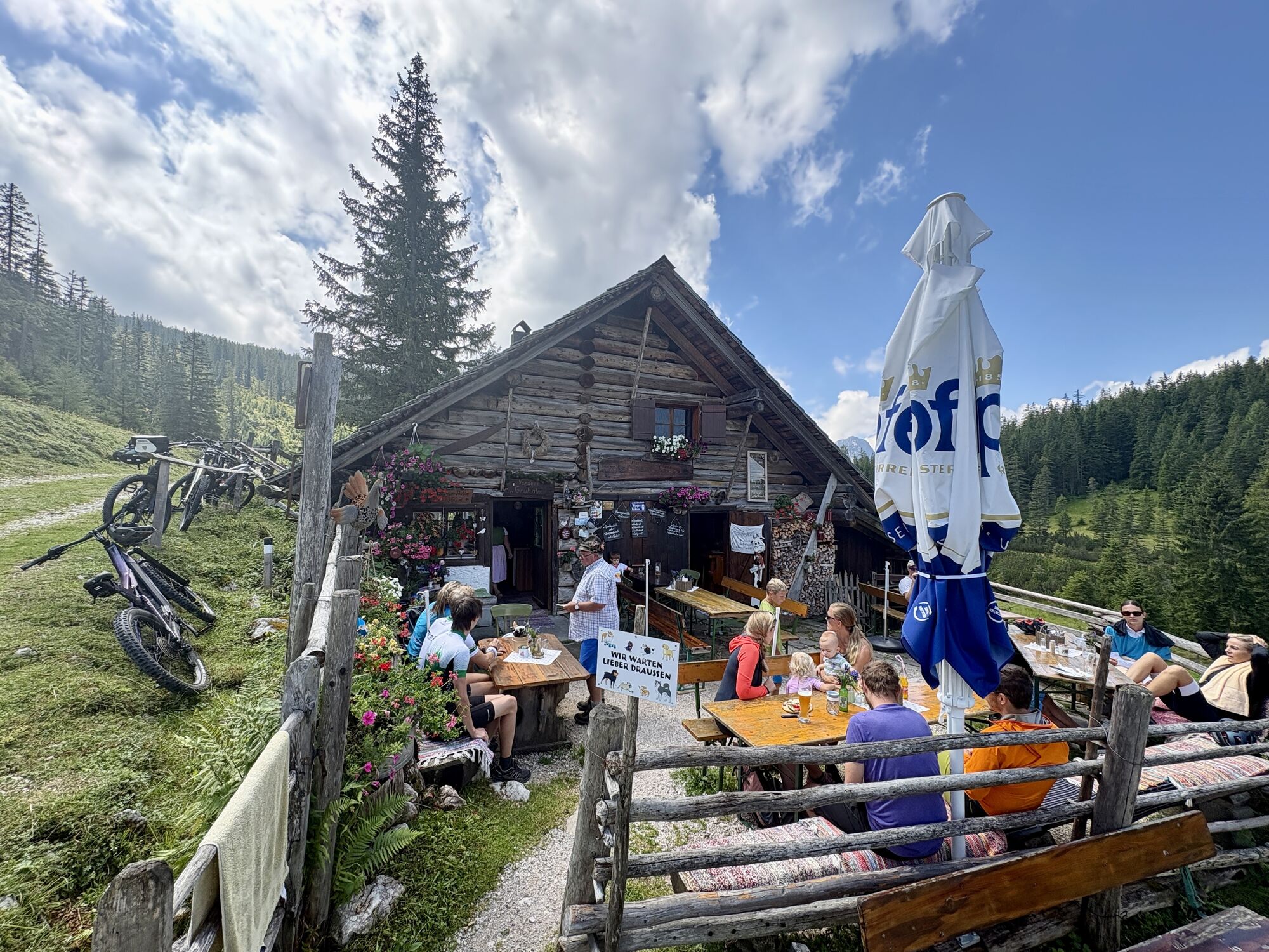
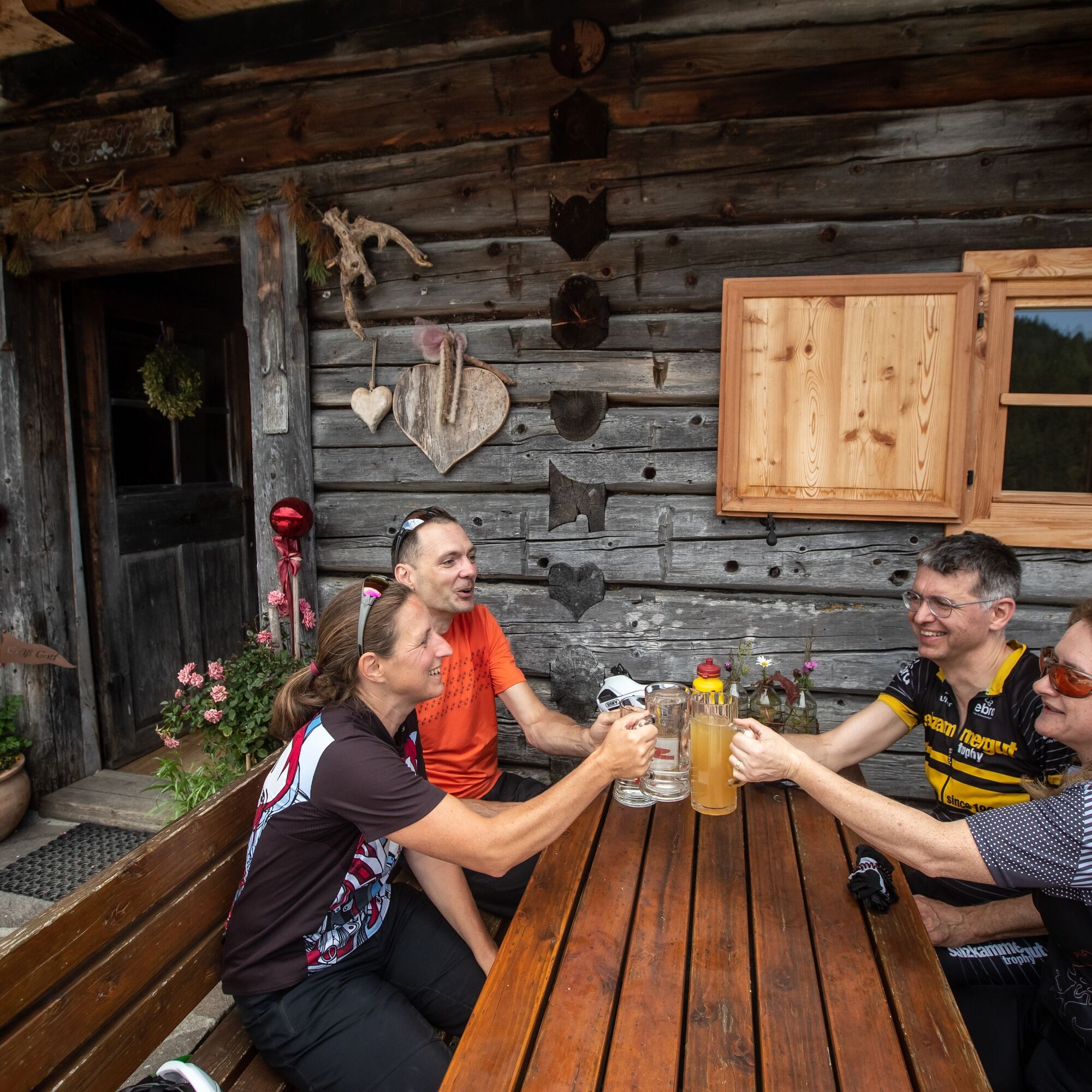
From Bachlalm, a paved alpine road descends to the Filzmoos country road. Follow the road for approximately three kilometres before turning right onto the historic Hachau Road, a well-maintained forest road leading to the Schnitzberg snack station. This traditional mountain inn is an excellent place to enjoy regional specialities while taking in wonderful views over Filzmoos. After a well-earned final break, the route continues on gentle gravel roads before descending back to Filzmoos, where this unforgettable circuit around the Dachstein Massif comes to an end.
Porte toujours un casque et des vêtements appropriés.
Roulez uniquement sur des chemins stabilisés et balisés.
Faites attention au trafic aux croisements de chemins et de routes ! Soyez attentif et cédez le passage.
Évitez de bloquer la roue arrière et contribuez ainsi à préserver les chemins.
Contrôlez votre vitesse en descente !
Respectez l'environnement et ne laissez aucun déchet, etc. en montagne !
Sun and rain protection, helmet, bike map material, enough to drink.
Par la route régionale de Filzmoos jusqu'au parking en face de la station-service.
En prenant le bus postal ligne 521 jusqu'à l'arrêt "Filzmoos Ortsmitte".
Parking disponible en face de la station-service "Leikermoser".
S1
La Dachsteinrunde Classic est une sortie VTT exigeante en termes de condition physique avec peu de difficultés techniques. Le parcours original peut être raccourci à plusieurs endroits par des itinéraires alternatifs. La piste VTT est parfaitement balisée.
Start early in the morning to enjoy the best views of the Dachstein and complete the tour in pleasant temperatures.
Webcams de la tournée
Rossbrand
Annaberg-Lungötz
Planai Bergstation Burgstallalm
Bergstation Dachstein Hunerkogel
Hüttendorf Pruggern
Ramsau am Dachstein / Leiten
Planai Bergstation
Talstation Reiteralm - Gondelbahn Silver Jet
Lahn - Hallstättersee
Hochwurzen Talstation
Galsterbergalmhütte
Karkogel - Abtenau
Stoderzinken Gipfelplateau Windmessstation
Aparthotel Jagdhof Filzmoos
Aparthotel Jagdhof Filzmoos
Sonnleiten - Abtenau
Ramsau - Aparthotel Ramsau
Ramsau - Aparthotel Ramsau
MONDI Resort am Grundlsee
Hornspitz Talstation
Zwieselalm Bergstation
Krippenstein Bergstation
Ramsau a. D. - Rittisberg
Snowpark Dachstein West
Edtalm
Ramsau / Lindenhof - Ramsbergerhof
Hagan Lodge
Feriendorf Annaberg
Bergstation Hornbahn - Hornspitz
Bergstation Hornbahn - Hornspitz
Dachstein West - Donnerkogelbahn
Dachstein
Ramsau am Dachstein - WM Stadion
Loserfenster
Haus - Hotel Herrschaftstaverne
Schladming - Lärchkogelbahn
Planai Talstation
Lungötz - Berghof Wildau
Zwieselalm Talstation - Dachstein West
Lungötz
Obtenez un aperçu Toujours en direct avec plus de 9.500 webcams. En tant qu'utilisateur Pro, vous pouvez désormais voir les webcams correspondantes à de nombreuses randonnées dans l'application de randonnées de bergfex. Vous pouvez ainsi voir directement les conditions actuelles.
Parcours populaires à proximité
- 4,5
Ramsau am Dachstein: Steinerne Jungfrauen
Randonnée 8,11 km - 4,3
Heilbronner Rundwanderweg
facileRandonnée 9,04 km - 4,3
Filzmoos: Rötelstein (Rettenstein)
Randonnée 9,50 km - 4,8
Autour du Gosaukamm
moyenRandonnée 20,9 km - 3,8
Ostuferwanderweg
facileRandonnée 16,2 km - 4,7
Tor-Wanderung
difficileRandonnée 14,2 km - 4,7
Stoderzinken Gipfelrundweg
moyenRandonnée 4,94 km - 4,7
Autour du lac Gosau
facileRandonnée 4,43 km - 4,5
Adamekhütte vom Vorderen Gosausee
moyenRandonnée 23,2 km - 4,7
Ramsau am Dachstein: Bergstation Dachstein-Seilbahn - Guttenberghaus - Ramsau
moyenRandonnée 14,4 km
Randonnée et suivi


Ne manquez pas les offres et l'inspiration pour vos prochaines vacances
Votre adresse électronique a été ajouté à la liste de diffusion.





