


SH 32 Vorderglemmer Almen - parcours
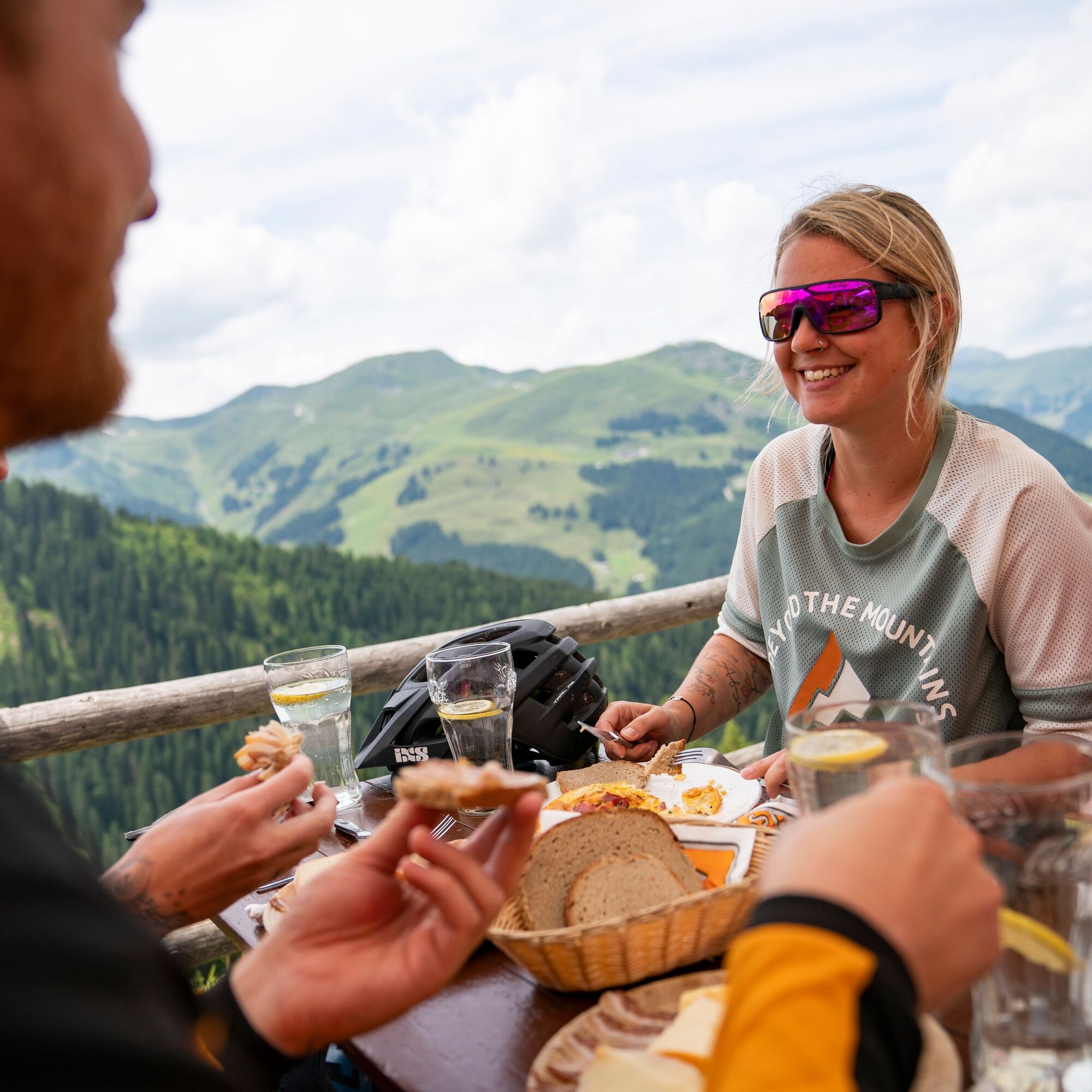
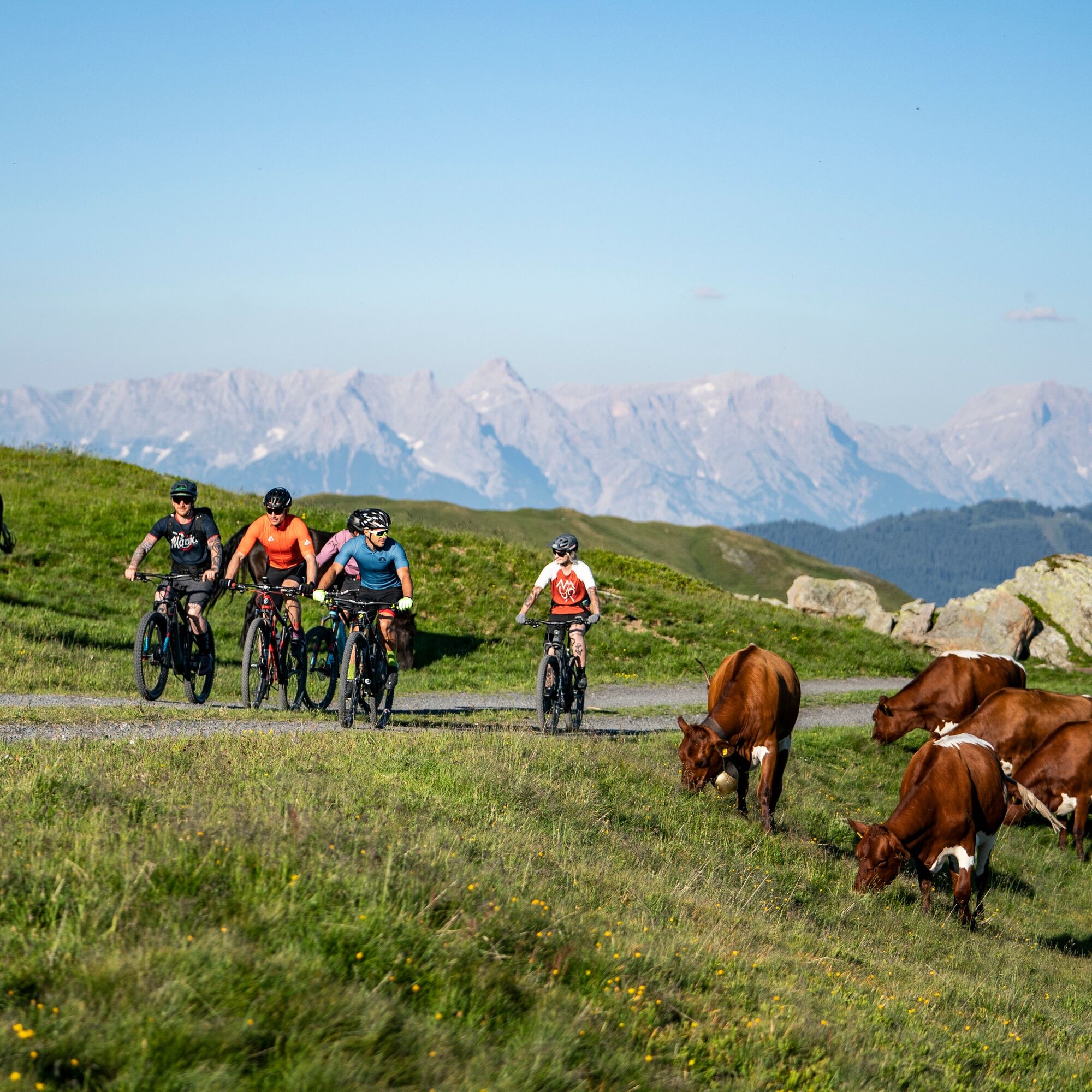
Photos de nos utilisateurs
-
 © Zoran DujakovicCréé le 30.05.2025
 -

 © Stefan RibischCréé le 22.03.2026
 -
 © klausarnezederCréé le 20.03.2026
 -
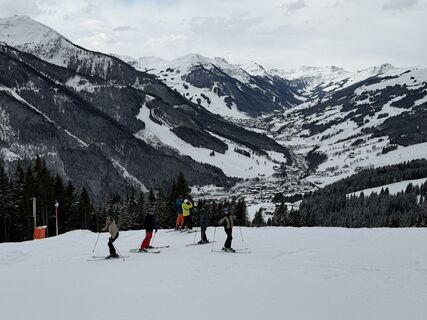
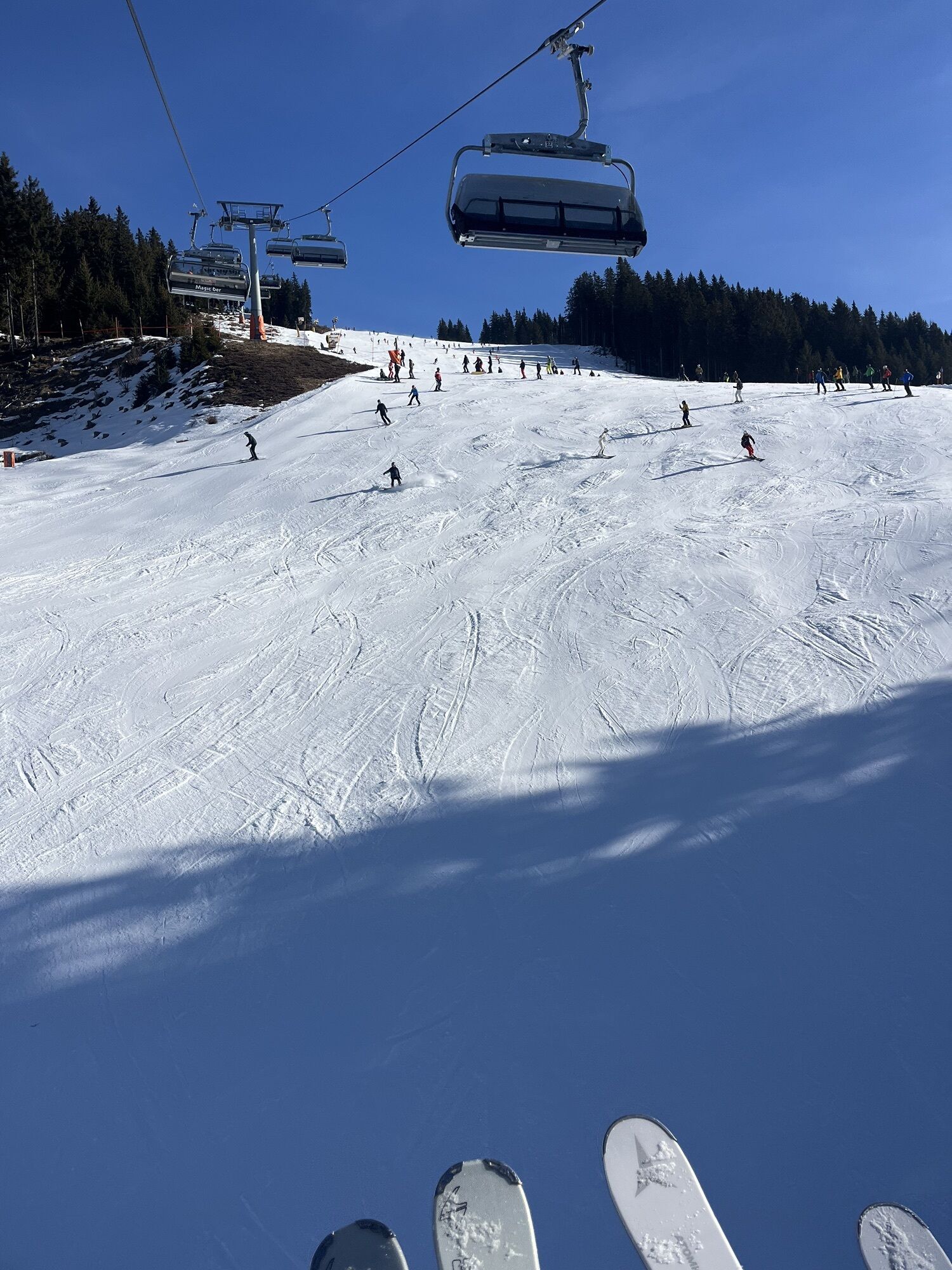
 © Timm Heinrich 1Créé le 08.03.2026
 -
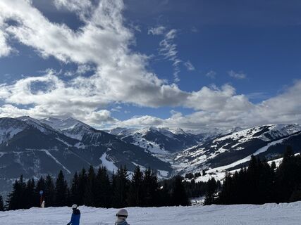
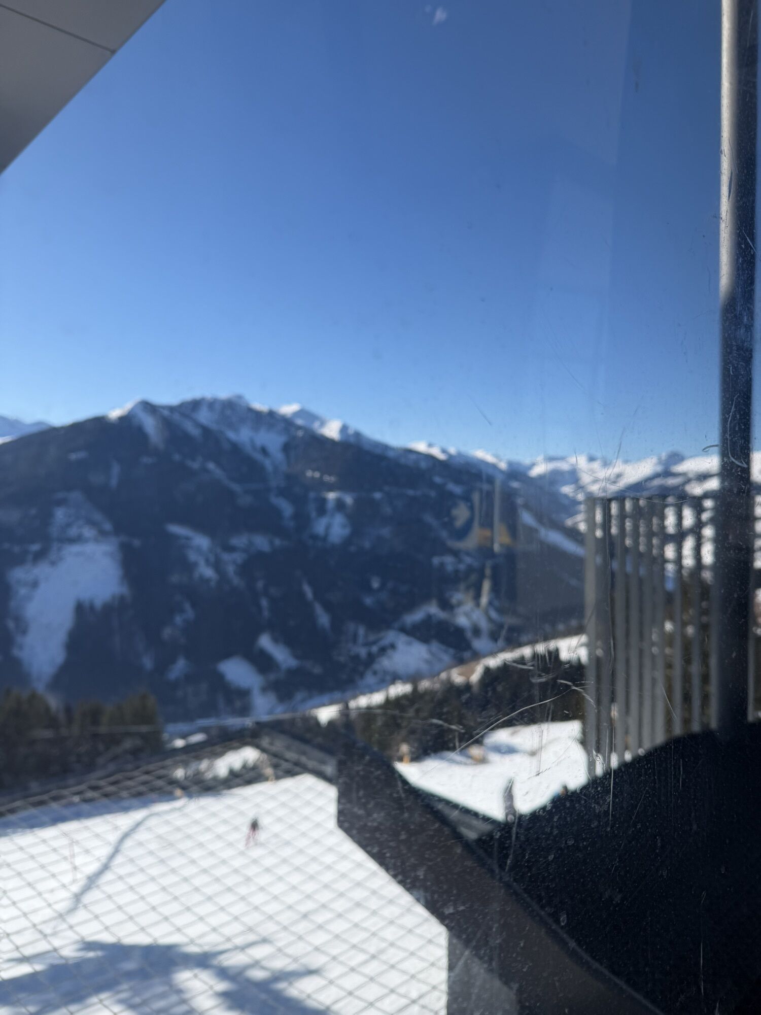
 © Rob MarinoCréé le 19.02.2026
 -
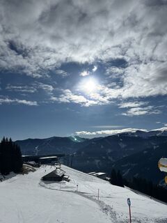
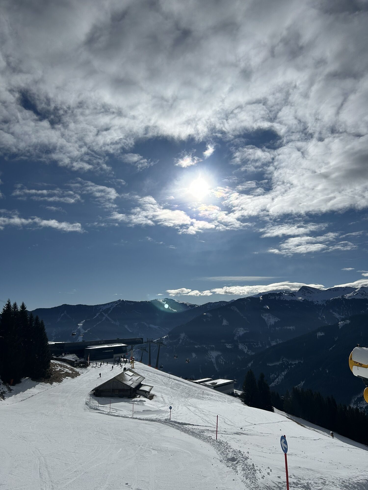
 © Rob MarinoCréé le 19.02.2026
 -

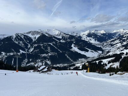
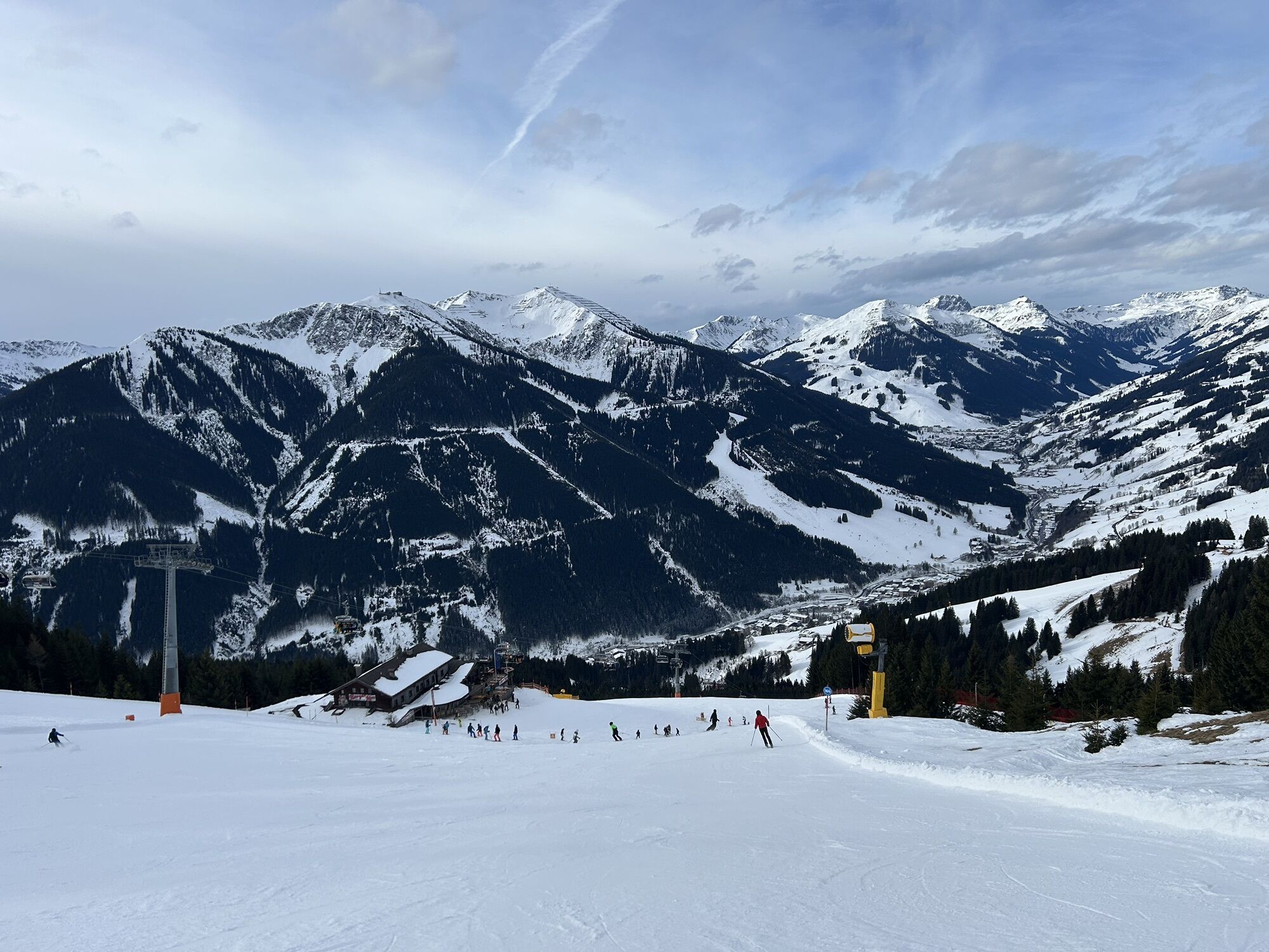
 © Licia KöcherCréé le 10.02.2026
 -

 © Emilia PahlitzschCréé le 02.02.2026
 -
 © Filip StupkaCréé le 01.02.2026
 -
 © Torben BoyenCréé le 26.01.2026
 -
 © Torben BoyenCréé le 25.01.2026


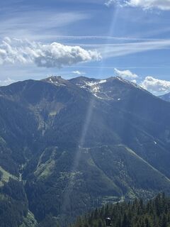
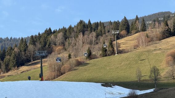
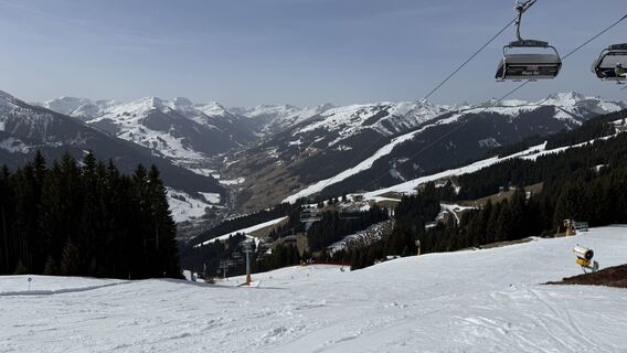
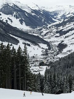
Depuis le point de départ à la station de vallée Schattberg X-Press, on roule tranquillement sur la piste cyclable de la vallée de Glemmtal jusqu'à Jausern, où commence le véritable parcours. D'abord sur...
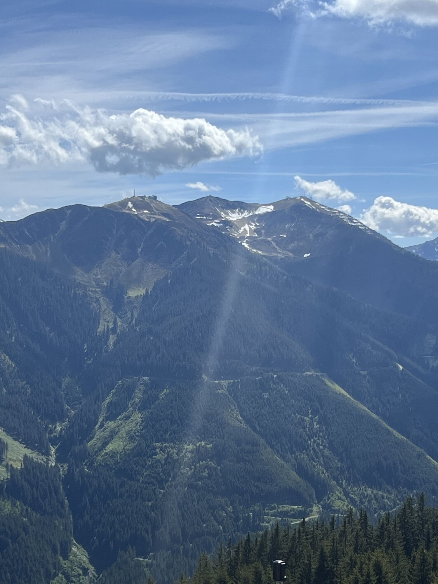
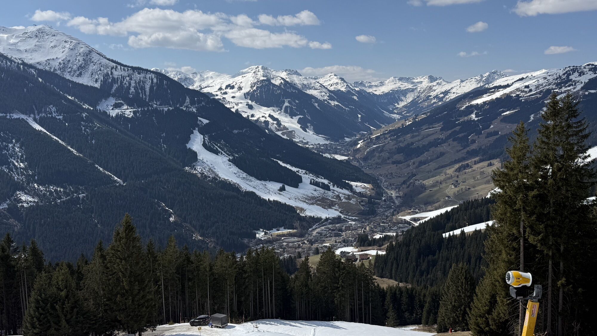
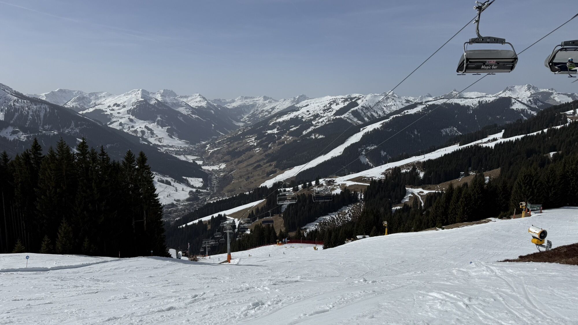
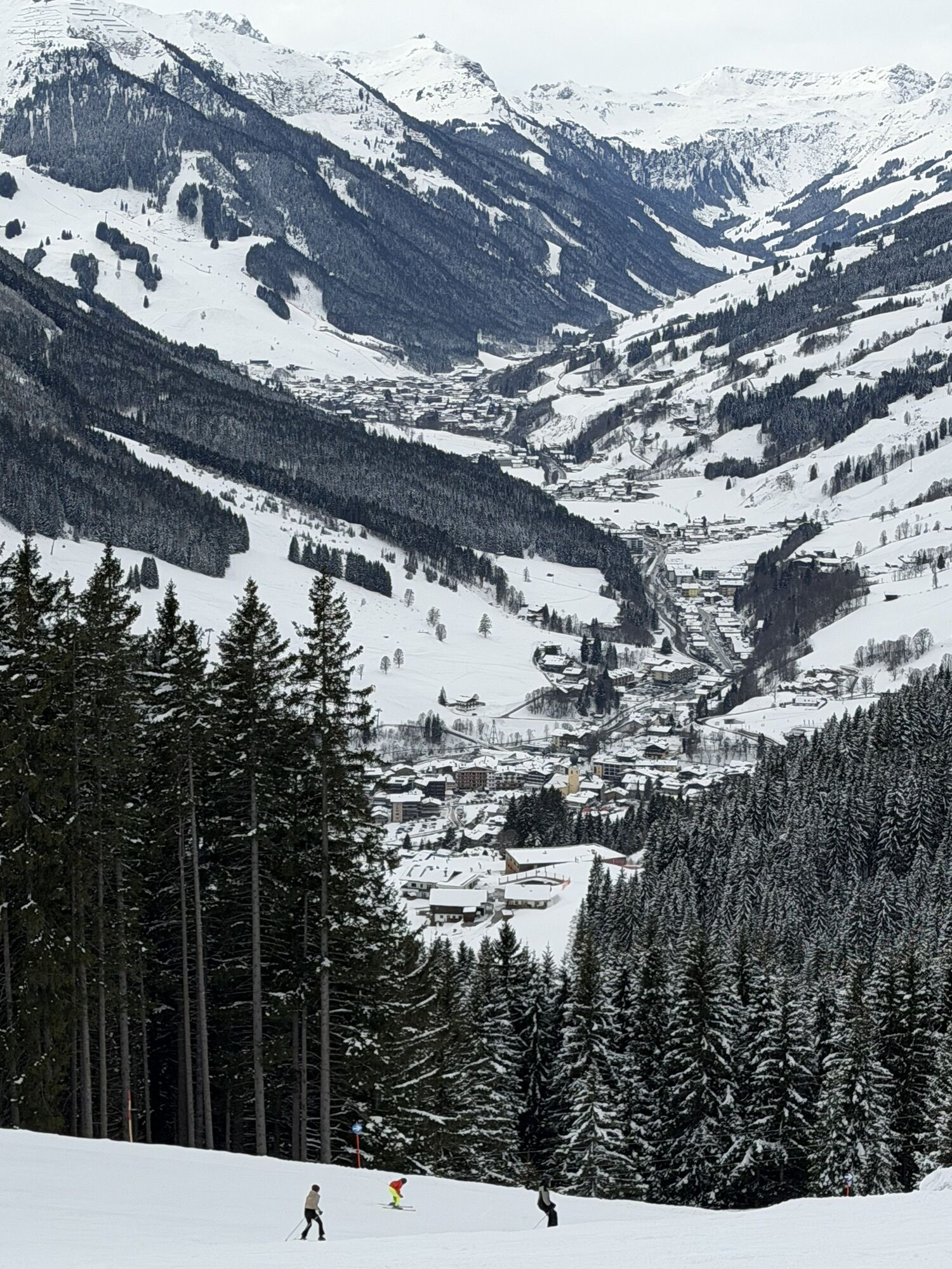
Depuis le point de départ à la station de vallée Schattberg X-Press, on roule tranquillement sur la piste cyclable de la vallée de Glemmtal jusqu'à Jausern, où commence le véritable parcours. D'abord sur revêtement asphalté, puis sur gravier, il monte dans la région des alpages où l'on peut profiter de vues de plus en plus impressionnantes sur la vallée avant de Glemmtal. En passant par la station intermédiaire du Schönleitenbahn et la Rachkuchl pittoresque, on peut, juste en dessous du point le plus élevé du parcours à 1 700 m, choisir de faire un détour supplémentaire vers la cabane Schönleitenhütte (liaison au réseau VTT de Saalfelden Leogang) ou vers le Wildenkarkogel. Ensuite, via Thurner- et Bergeralm, commence la descente qui serpente vers le fond de la vallée, où l'on retrouve la piste cyclable de Glemmtal pour retourner au point de départ.

Oui
Oui
Télécharge le parcours comme carte individuelle ICI !
Webcams de la tournée
Parcours populaires à proximité
-
4,1
Schwalbenwand Nr. 80, 81, 82
moyenRandonnée 13,0 km -
4,1
Passauer Hütte
difficileRandonnée 4,14 km -
4,5
Lettlkaser
moyenRandonnée 4,40 km -
3,8
Maurerkogel (Top)
Randonnée 10,5 km -
5,0
Le parcours de jeux de Leo
facileChemin thématique 4,89 km -
4,7
Tristkogel
difficileRandonnée 15,6 km -
4,0
Montagne des sens
facileRandonnée 4,39 km -
4,2
Saalachtaler Höhenweg EST (Asitz - Biberg)
moyenRandonnée 13,1 km -
4,2
Spielbergalmen
moyenRandonnée 10 km -
4,4
Sentier en altitude de la vallée de la Saalach OUEST
moyenRandonnée 19,3 km

Randonnée et suivi


Ne manquez pas les offres et l'inspiration pour vos prochaines vacances
Votre adresse électronique a été ajouté à la liste de diffusion.