







No 45 Via ferrata d'entraînement "Albert-Weiß-Steig"
Niveau de difficulté: B/C
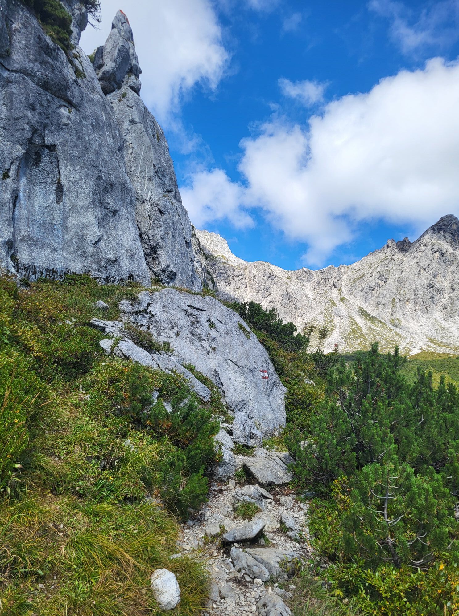
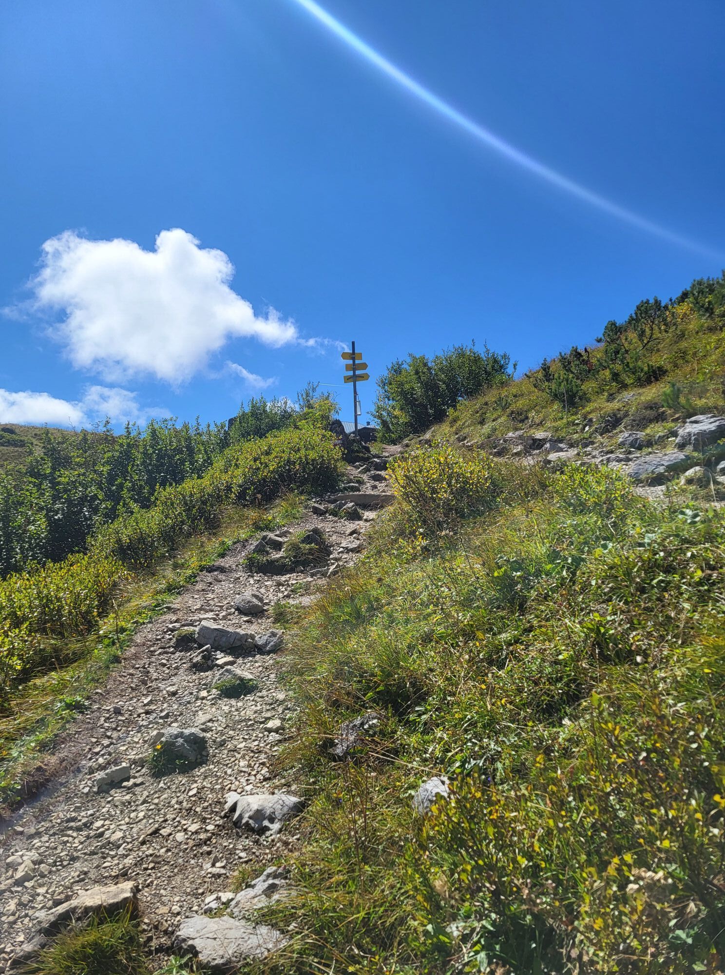
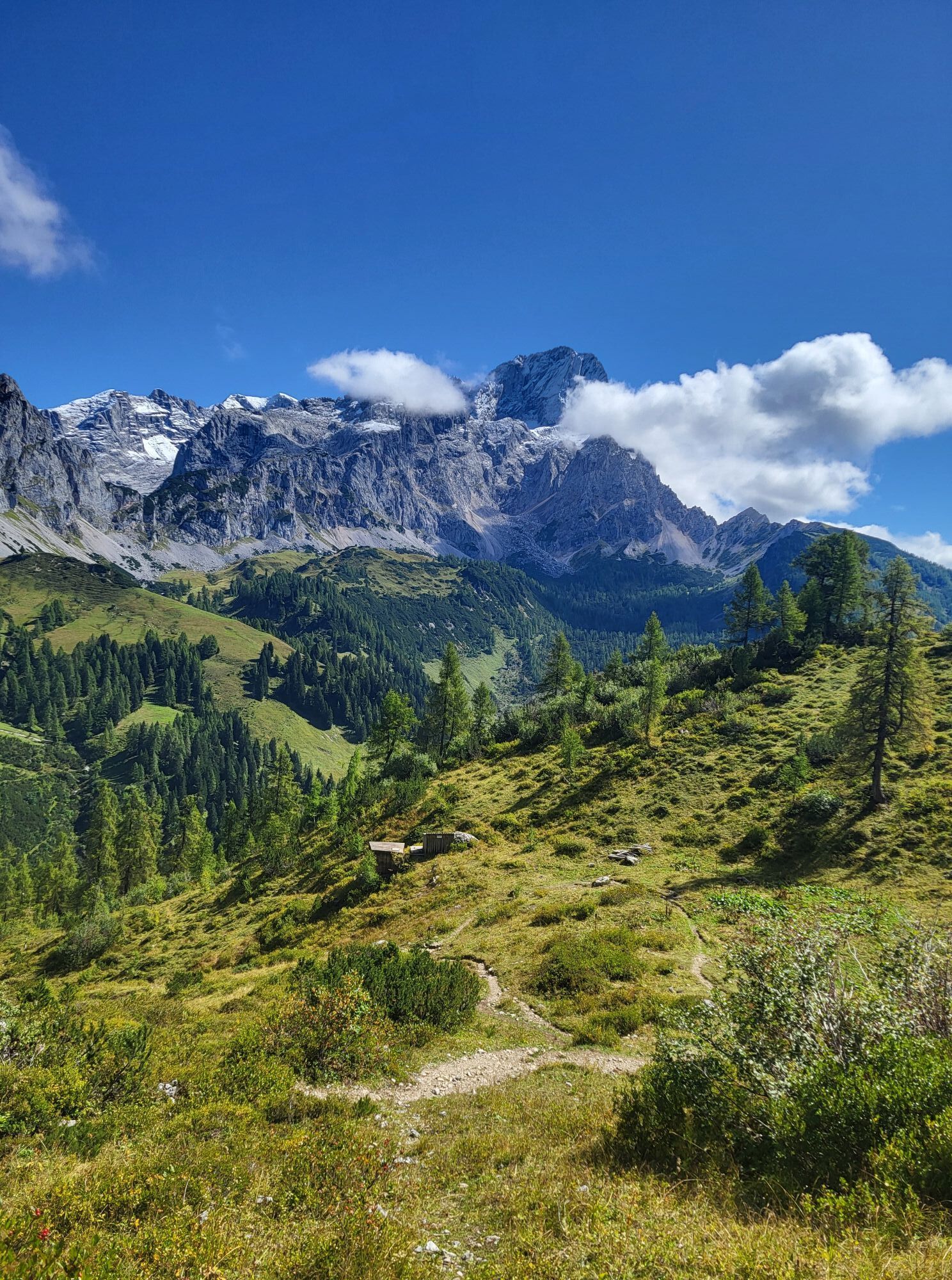
Le via ferrata courte mais intense au Lechnerturm a été aménagée comme parcours d'entraînement par le secours en montagne de Bischofshofen et les alpinistes de la caserne Krobatiin.
Approche :Du refuge...
Le via ferrata courte mais intense au Lechnerturm a été aménagée comme parcours d'entraînement par le secours en montagne de Bischofshofen et les alpinistes de la caserne Krobatiin.
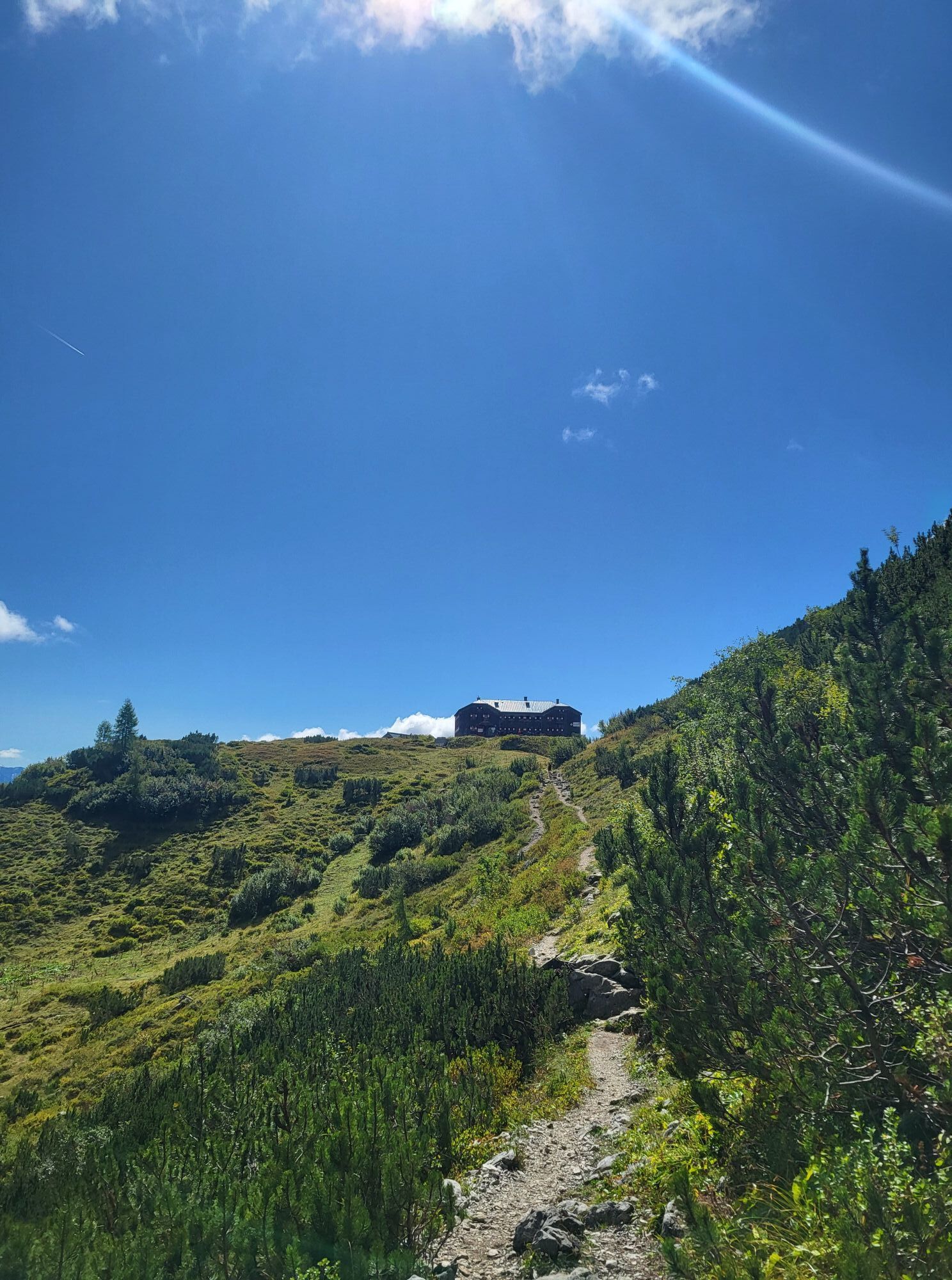
Approche :Du refuge Hofpürglhütte, en quelques minutes jusqu'au Lechnerturm.

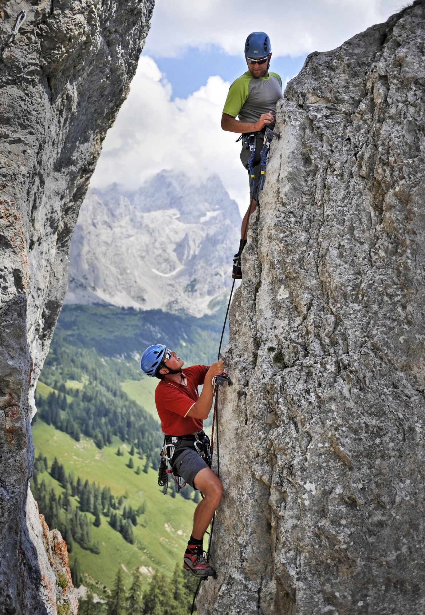

At the base of the Lechnerturm is the entrance to the via ferrata. After completing the route, the return follows the same path back to the Hofpürglhütte.
Oui
A complete via ferrata set (helmet, harness, and via ferrata lanyard) is mandatory.
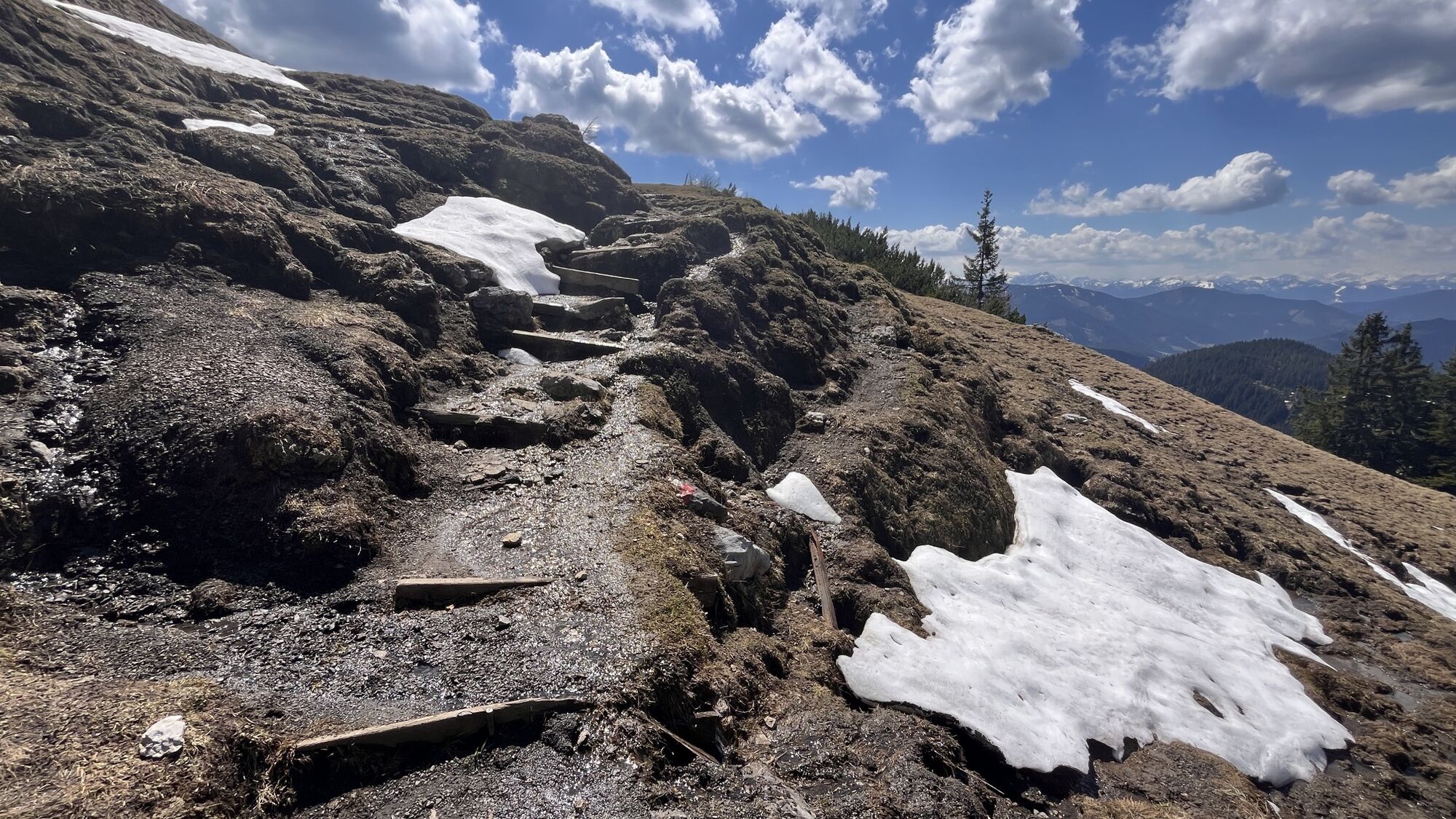
In spring, some steeper snowfields must be crossed to reach the start.
The via ferrata "Albert-Weiß Steig" is suitable only for sure-footed, non–fear-of-heights, and sufficiently experienced mountaineers.
Weather conditions must be carefully checked before starting the tour, as alpine conditions can change quickly.
In wet conditions, thunderstorms, or poor visibility, the route must not be attempted.
The via ferrata should only be used under safe conditions. Ensure adequate fitness, wear sturdy footwear, and always stay on the secured path.
Children and inexperienced climbers should only attempt the route when accompanied by experienced mountain guides.
Coming from Ramsau am Dachstein: At the roundabout, take the exit towards Neuberg – shortly after the gas station, turn left. There is a public paid parking lot opposite the gas station.
By Bus or Taxi: From Eben im Pongau or Radstadt, take bus line 521 directly to Filzmoos (approx. 20–30 minutes). Taxis are also available at the station if you prefer a direct ride. Tip: Buses are not very frequent, so it's best to check the schedule in advance at www.oebb.at
With the Fidibus Summer: From Hotel Neubergerhof, the Fidibus Summer (hiking bus) takes you from Neuberg to Filzmoos, stopping at the “Ortsmitte” (village center) bus stop. Click here for the timetable.
There is a public paid parking lot opposite the gas station.
B/C
You can get a hiking map (Euro 5,50) or overview map (Euro 2,00) with information about this tour at the Filzmoos Tourist Information Office.
KOMPASS Hiking Map 031 “The Dachstein, Ramsau, Filzmoos” – 1:25,000 (Highly detailed, weatherproof paper. Ideal for planning and for use on the go.)
Ideal as training for longer tours. Go early to enjoy peace and quiet, and bring full via ferrata equipment.
Obtenez un aperçu Toujours en direct avec plus de 9.500 webcams. En tant qu'utilisateur Pro, vous pouvez désormais voir les webcams correspondantes à de nombreuses randonnées dans l'application de randonnées de bergfex. Vous pouvez ainsi voir directement les conditions actuelles.Parcours populaires à proximité
- 4,4
Ramsau am Dachstein: Steinerne Jungfrauen
Randonnée 8,11 km - 4,4
Heilbronner Rundwanderweg
facileRandonnée 9,04 km - 4,3
Filzmoos: Rötelstein (Rettenstein)
Randonnée 9,50 km - 4,8
Autour du Gosaukamm
moyenRandonnée 20,9 km - 4,7
Tor-Wanderung
difficileRandonnée 14,2 km - 4,7
Autour du lac Gosau
facileRandonnée 4,43 km - 4,5
Adamekhütte vom Vorderen Gosausee
moyenRandonnée 23,2 km - 4,7
Ramsau am Dachstein: Bergstation Dachstein-Seilbahn - Guttenberghaus - Ramsau
moyenRandonnée 14,4 km - 4,8
Hoher Dachstein
moyenRandonnée d'altitude 6,49 km - 4,6
Rittispanoramaweg
facileRandonnée 5,30 km
Randonnée et suivi


Ne manquez pas les offres et l'inspiration pour vos prochaines vacances
Votre adresse électronique a été ajouté à la liste de diffusion.





