


Grossarltal: 3-day hike from Weissalm to Gerstreitalm
Niveau de difficulté: T2
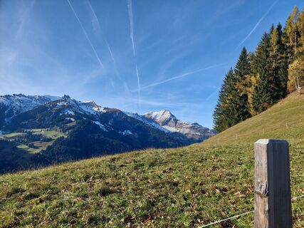
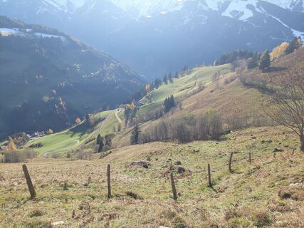
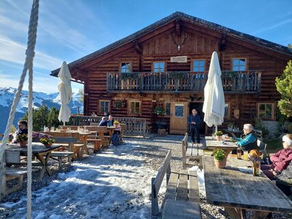
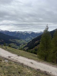
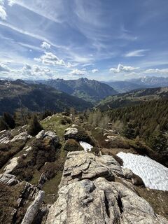
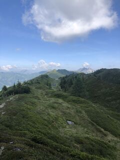
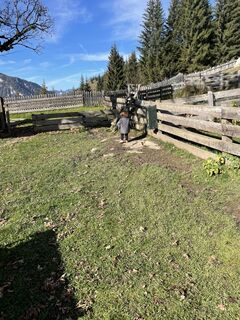
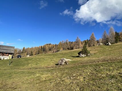
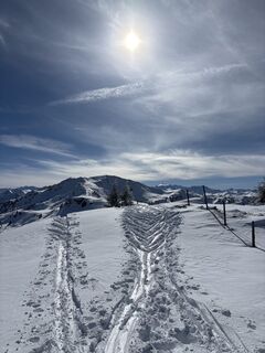
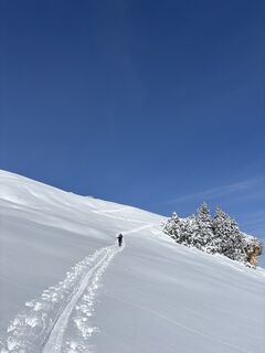
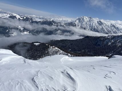
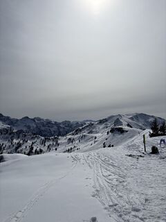
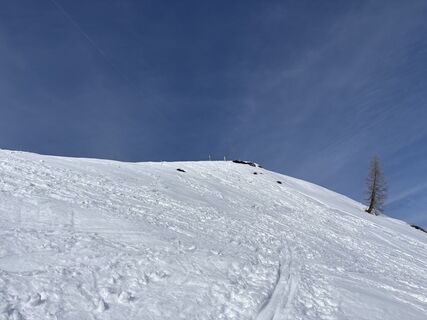
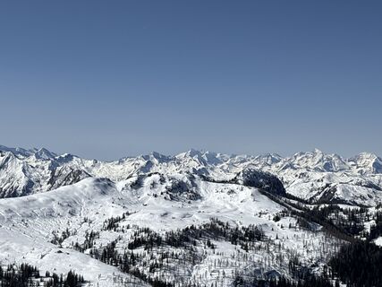
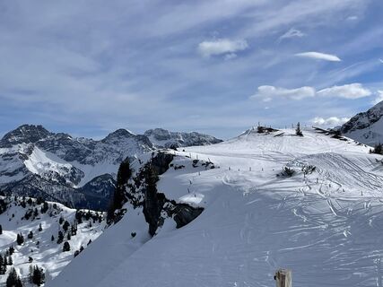
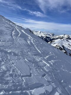
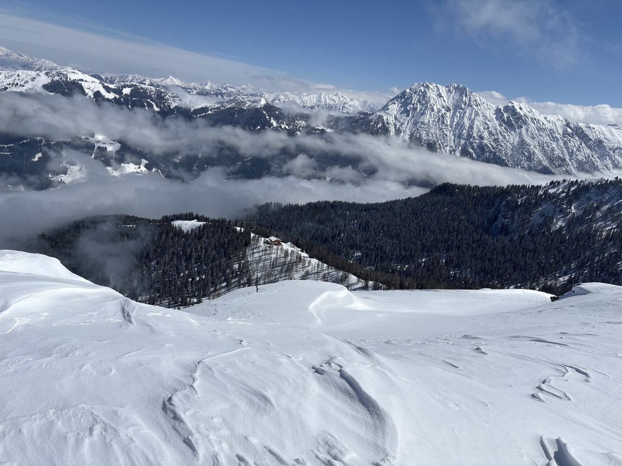
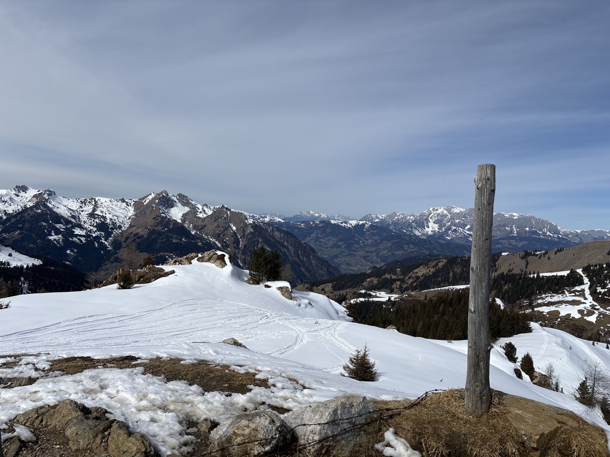
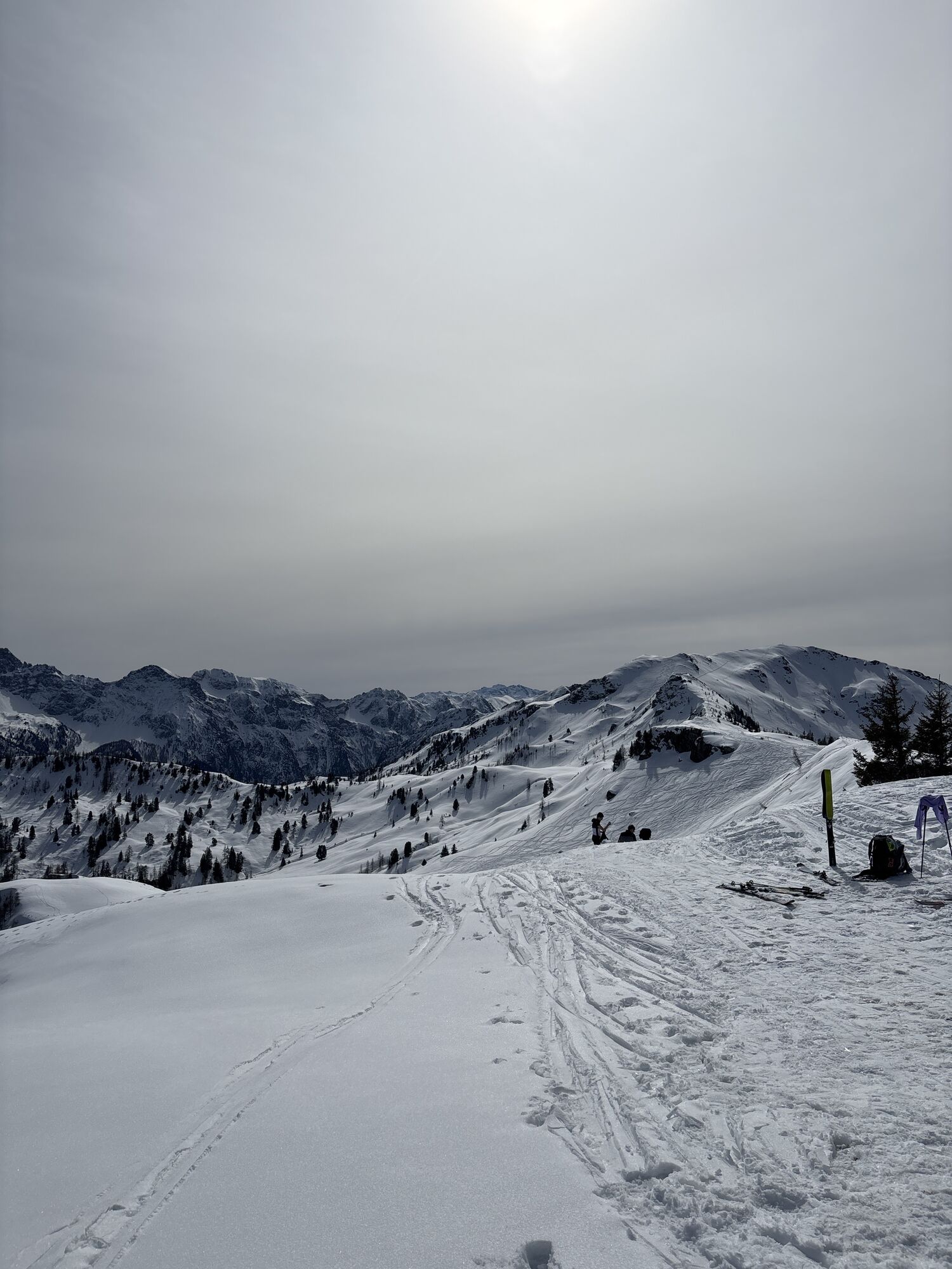
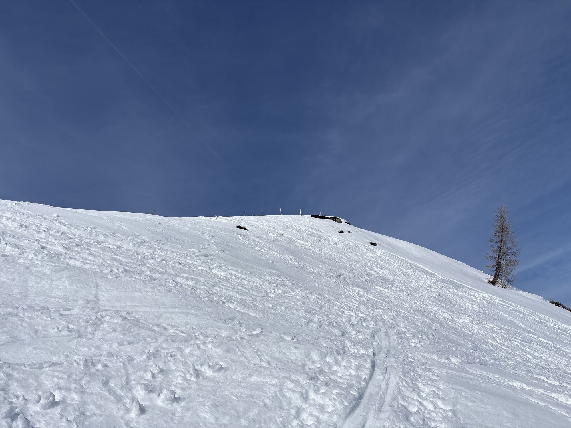
Photos de nos utilisateurs
-

 © Johannes PetschkCréé le 21.06.2025
 -
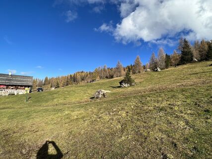
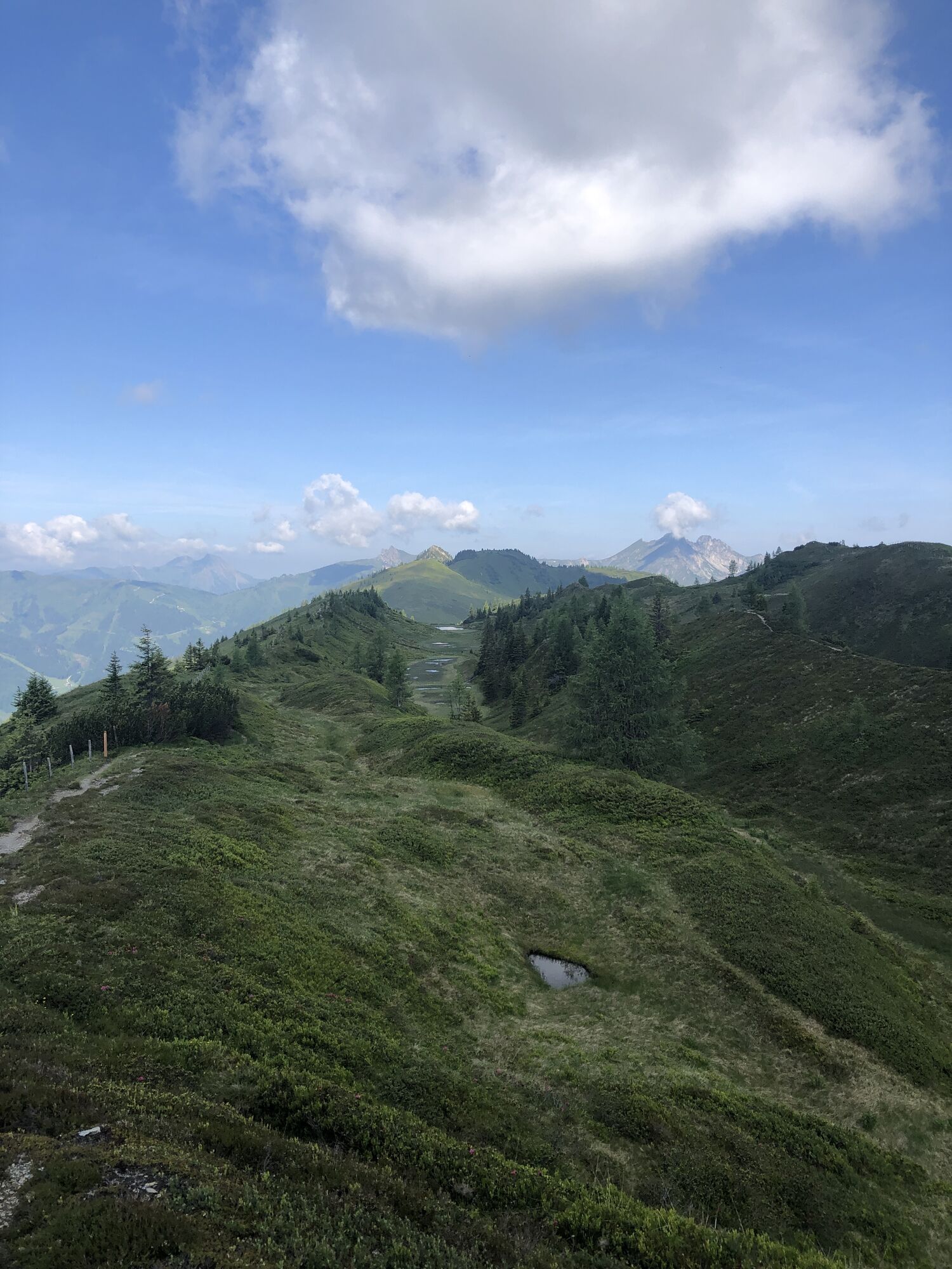
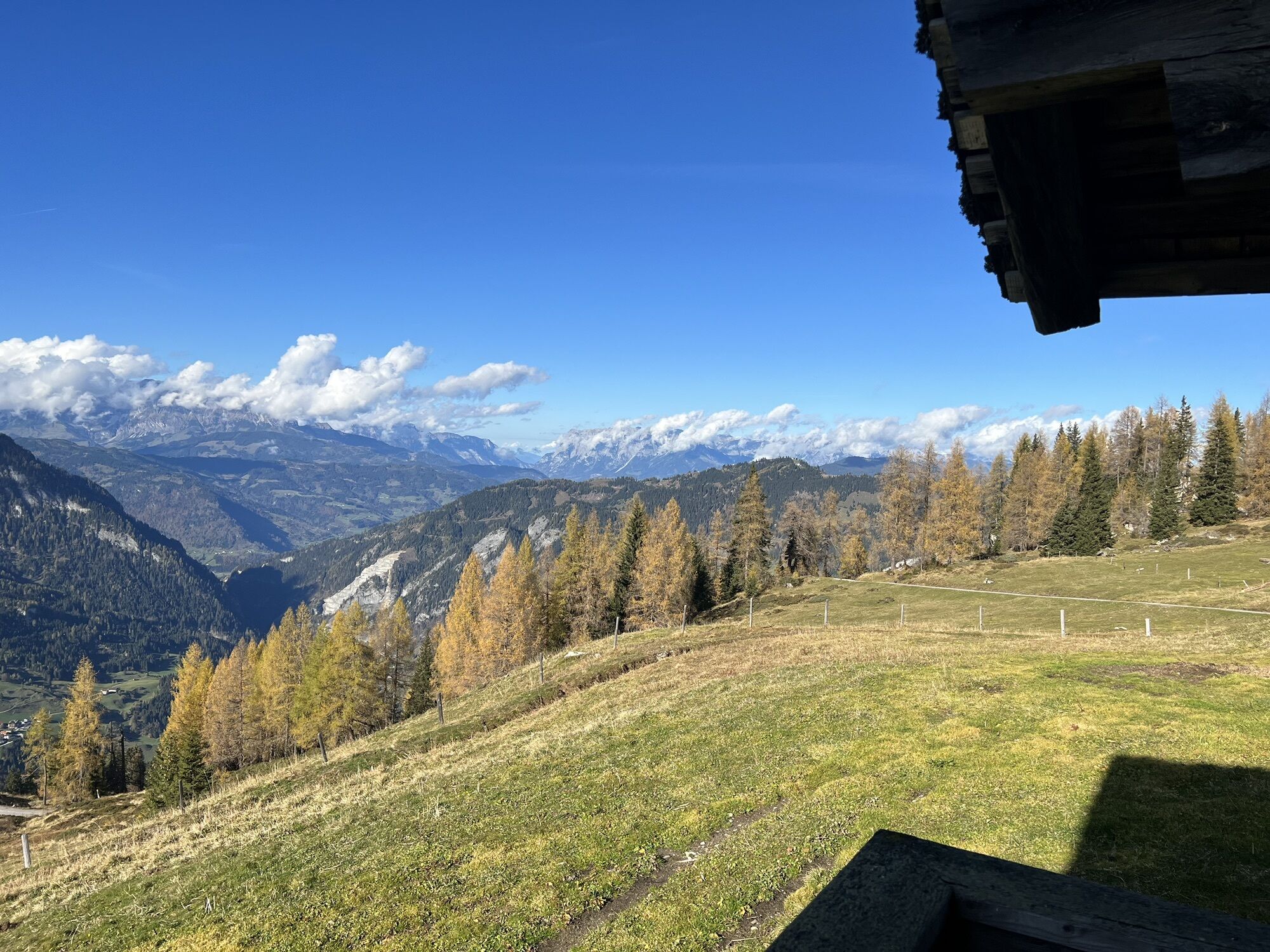
 © Andrea MahringerCréé le 29.10.2025
 -
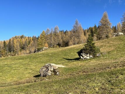
 © Andrea MahringerCréé le 29.10.2025
 -
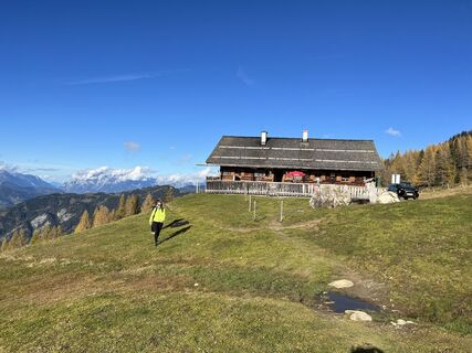
 © Andrea MahringerCréé le 29.10.2025
 -
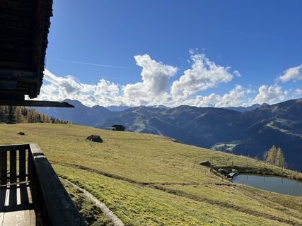
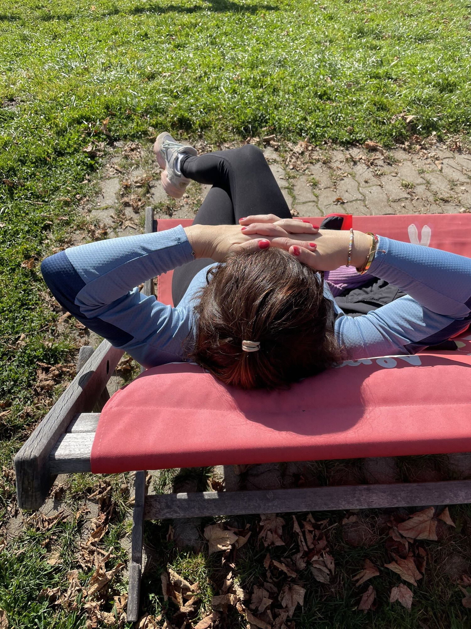
 © Peter De Smedt2Créé le 08.10.2025
 -
 © Peter De Smedt2Créé le 08.10.2025
 -
 © Peter De Smedt2Créé le 08.10.2025
 -
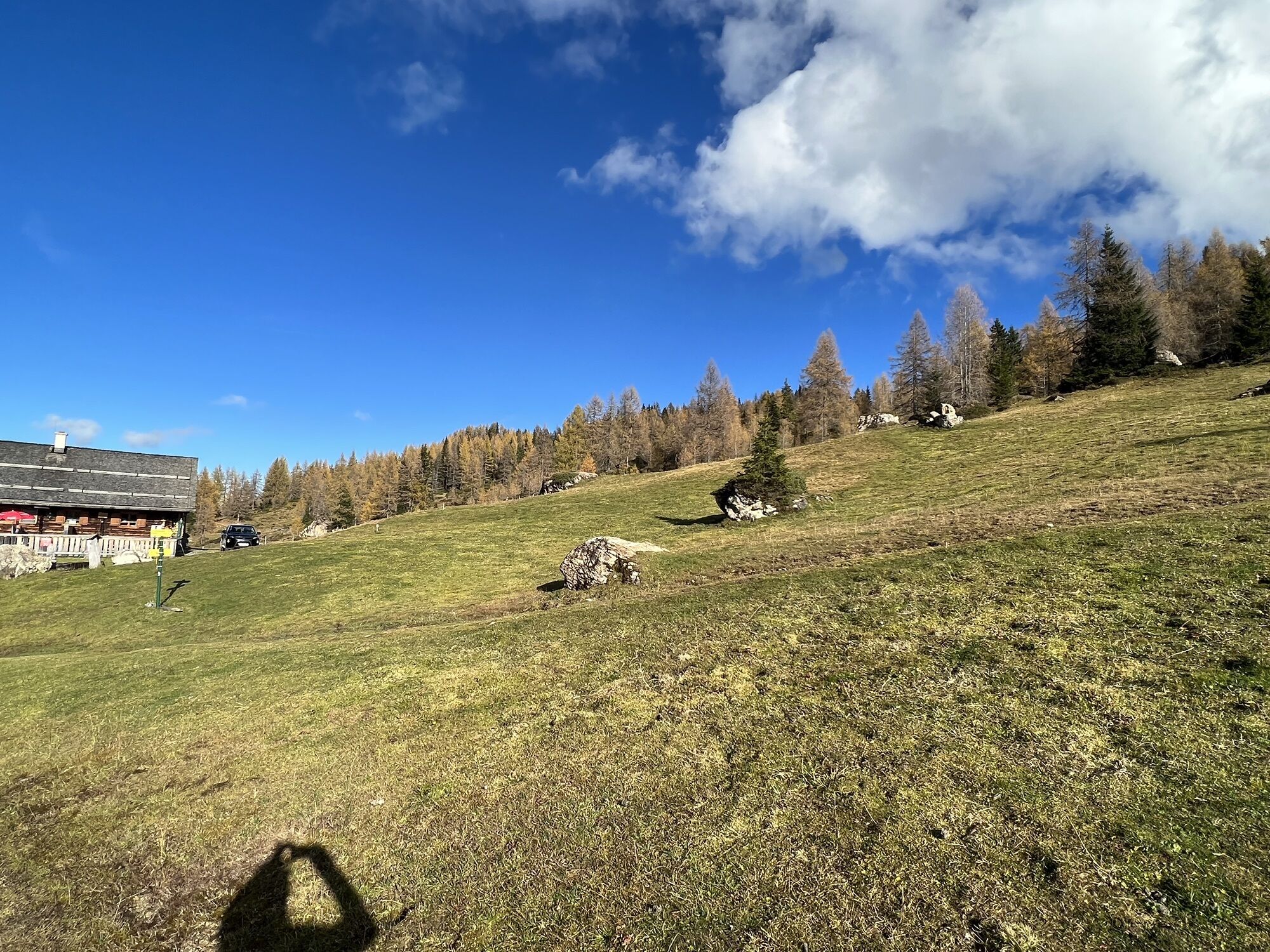
 © Olaf SchmidtCréé le 07.09.2025
 -
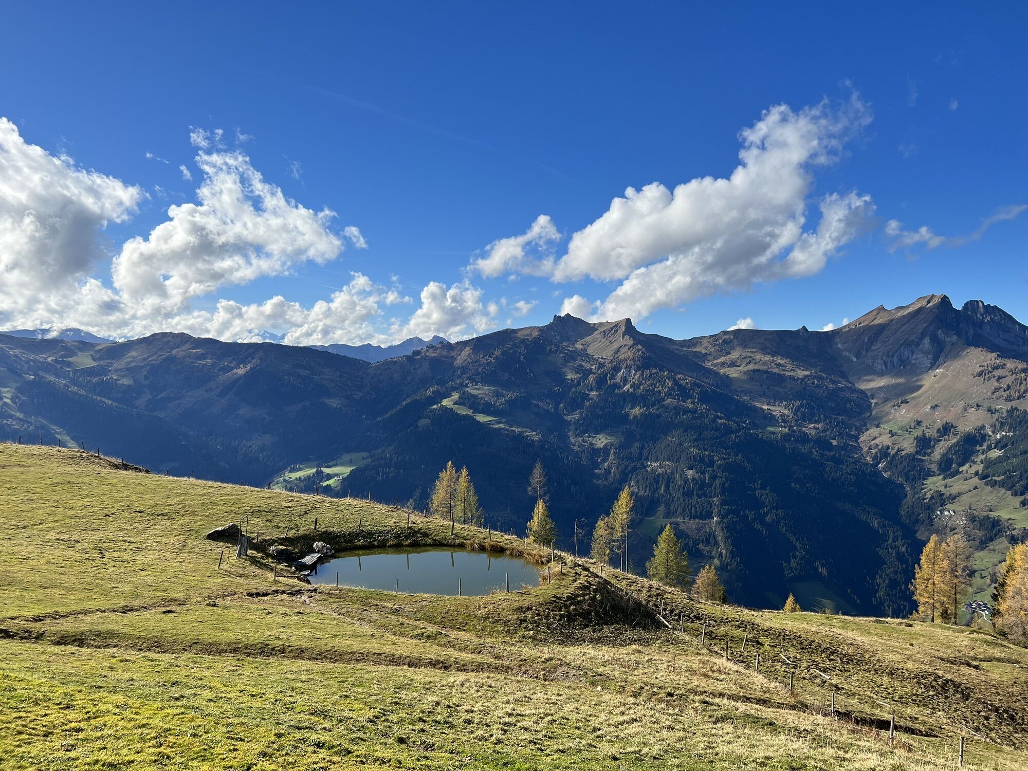
 © Olaf SchmidtCréé le 07.09.2025
 -
 © Noah RoeCréé le 07.09.2025
 -
 © Noah RoeCréé le 14.05.2025
 -
 © Noah RoeCréé le 14.05.2025
 -

 © Stefan RuhringerCréé le 08.08.2023
 -

 © GeraldCréé le 24.07.2022
 -
 © Johannes PetschkCréé le 21.06.2025
 -
 © Klaus BaumgartnerCréé le 27.10.2022
 -
 © Klaus BaumgartnerCréé le 27.10.2022
 -
 © Thomas MüllerCréé le 25.10.2022
 -
 © Thomas MüllerCréé le 25.10.2022
 -
 © Thomas MüllerCréé le 25.10.2022
 -
 © Thomas MüllerCréé le 25.10.2022
 -
 © Thomas MüllerCréé le 25.10.2022
 -
 © Thomas MüllerCréé le 25.10.2022
 -
 © Thomas MüllerCréé le 25.10.2022
 -

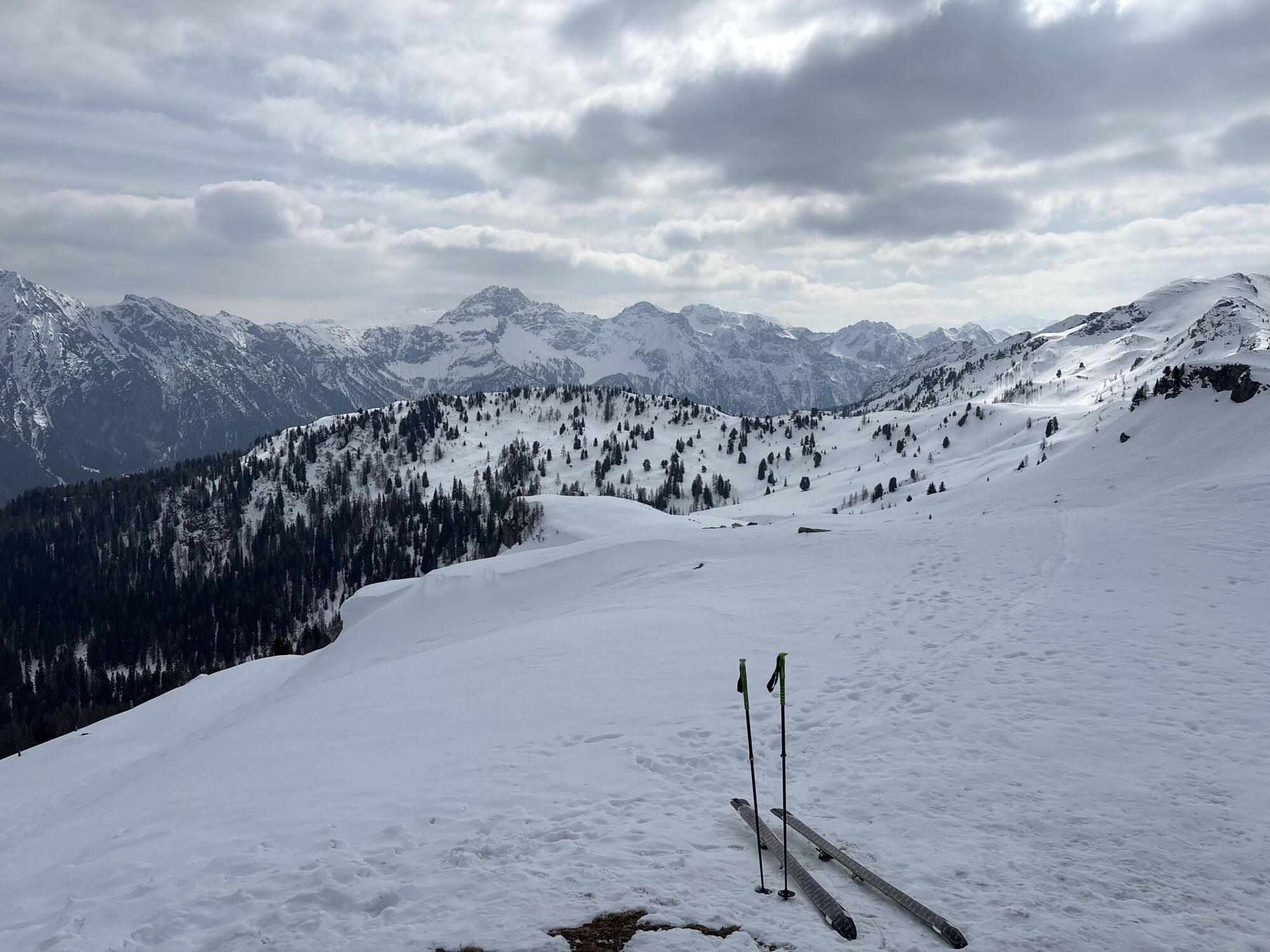
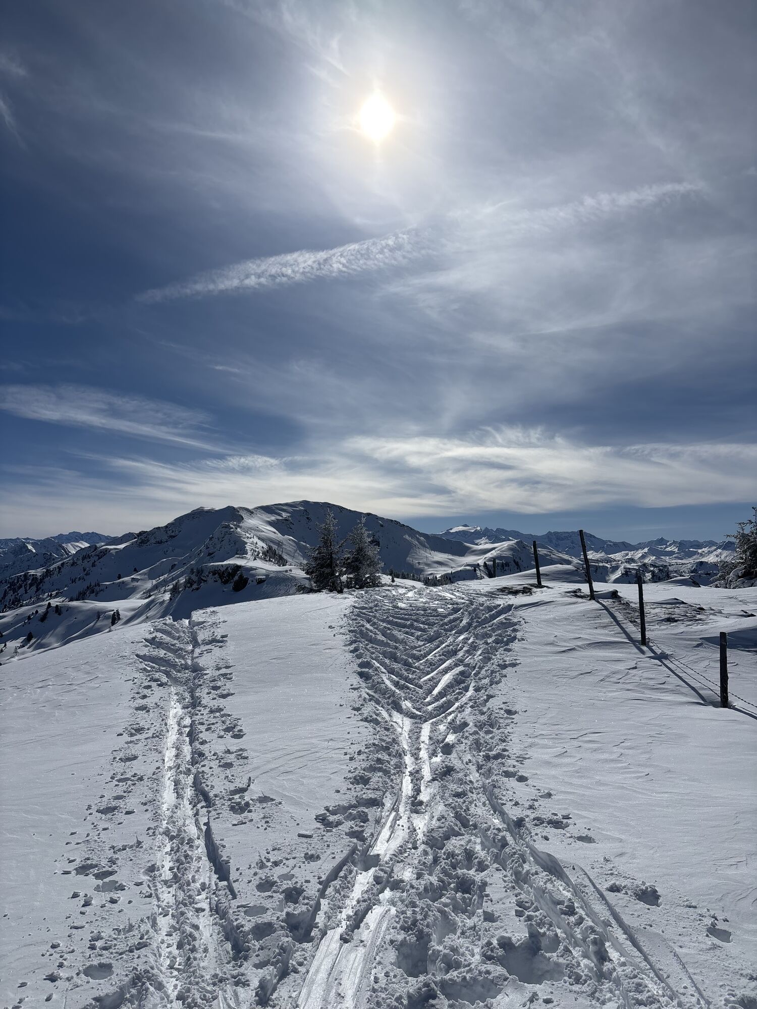
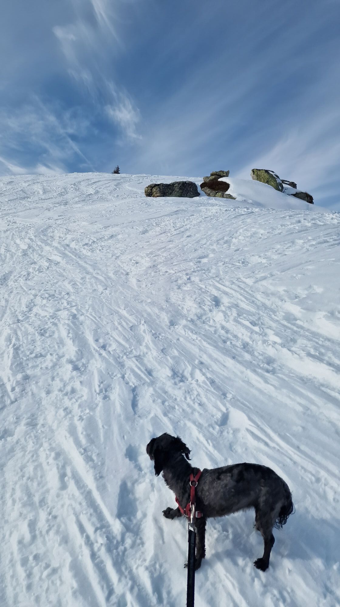
 © Heinz SperlCréé le 24.03.2026
 -
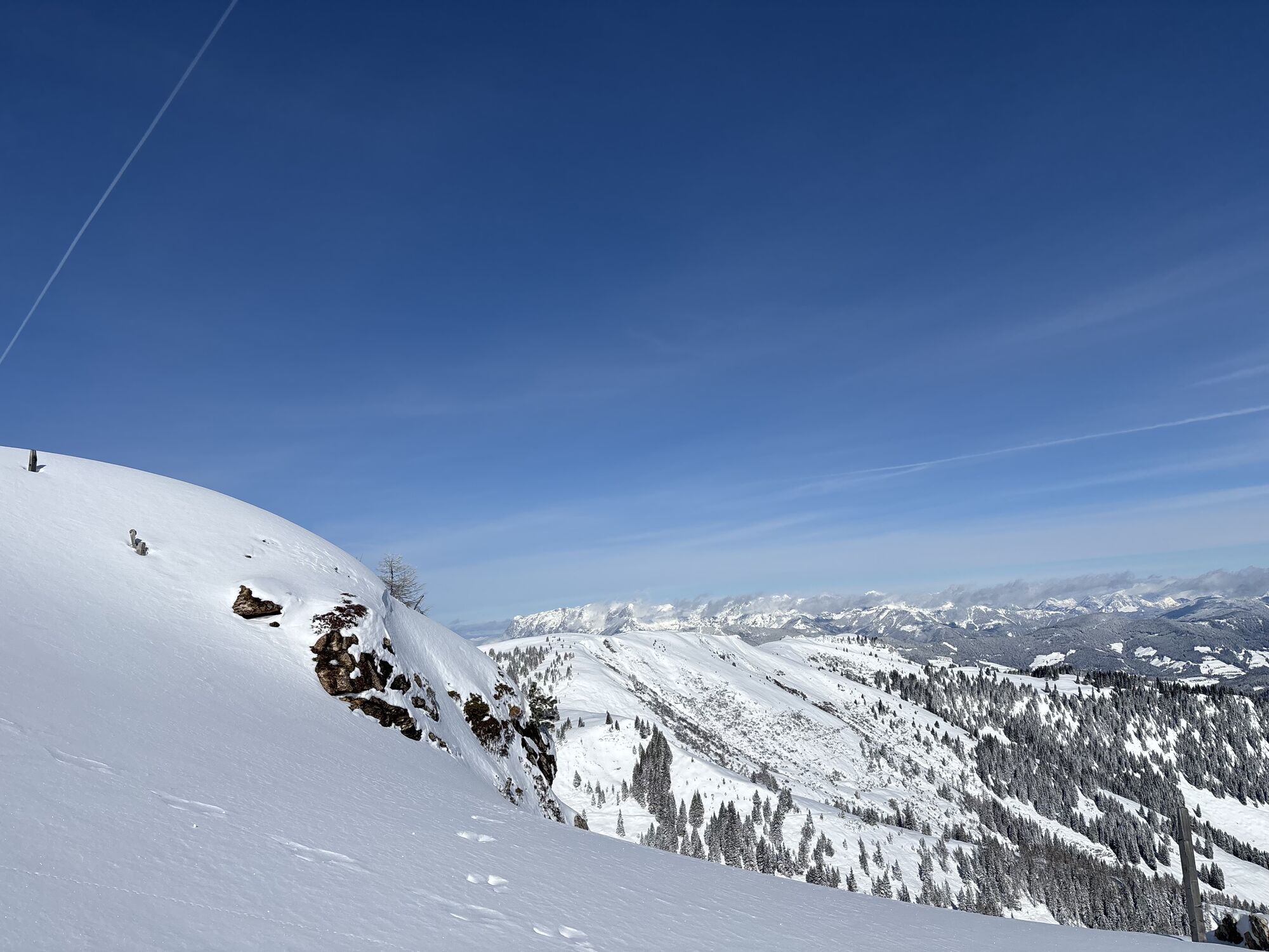
 © Heinz SperlCréé le 24.03.2026
 -
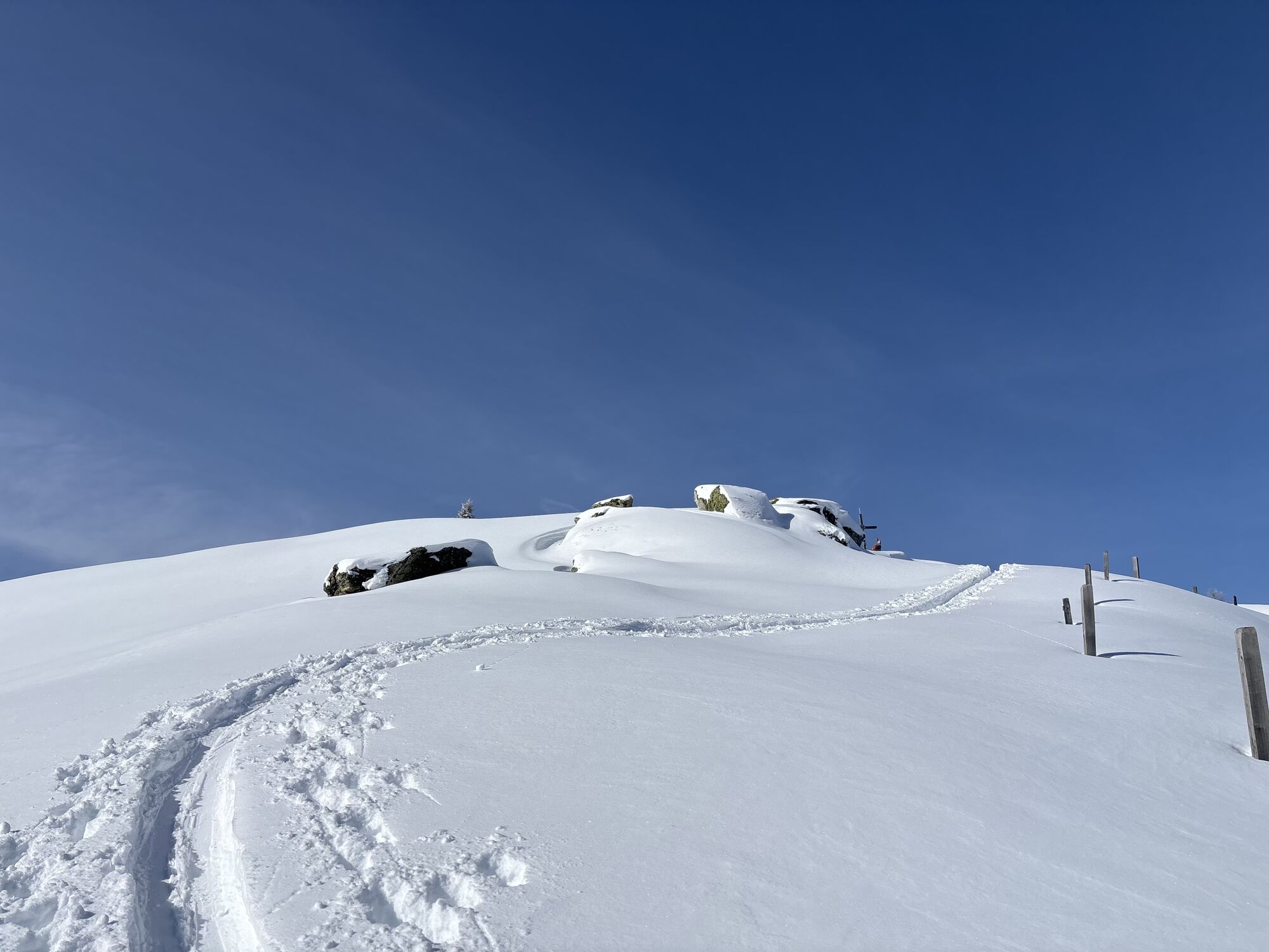
 © Heinz SperlCréé le 24.03.2026
 -
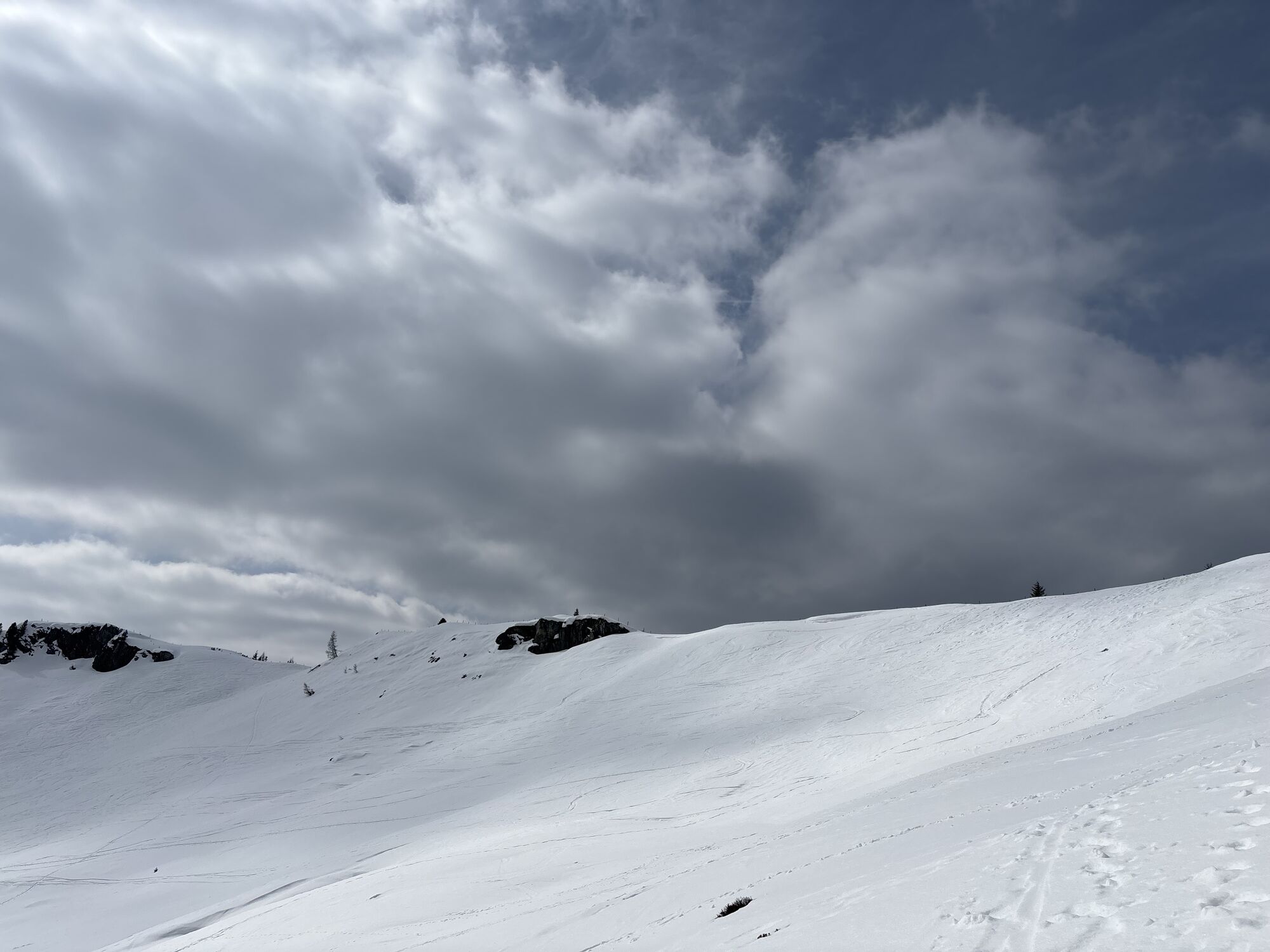
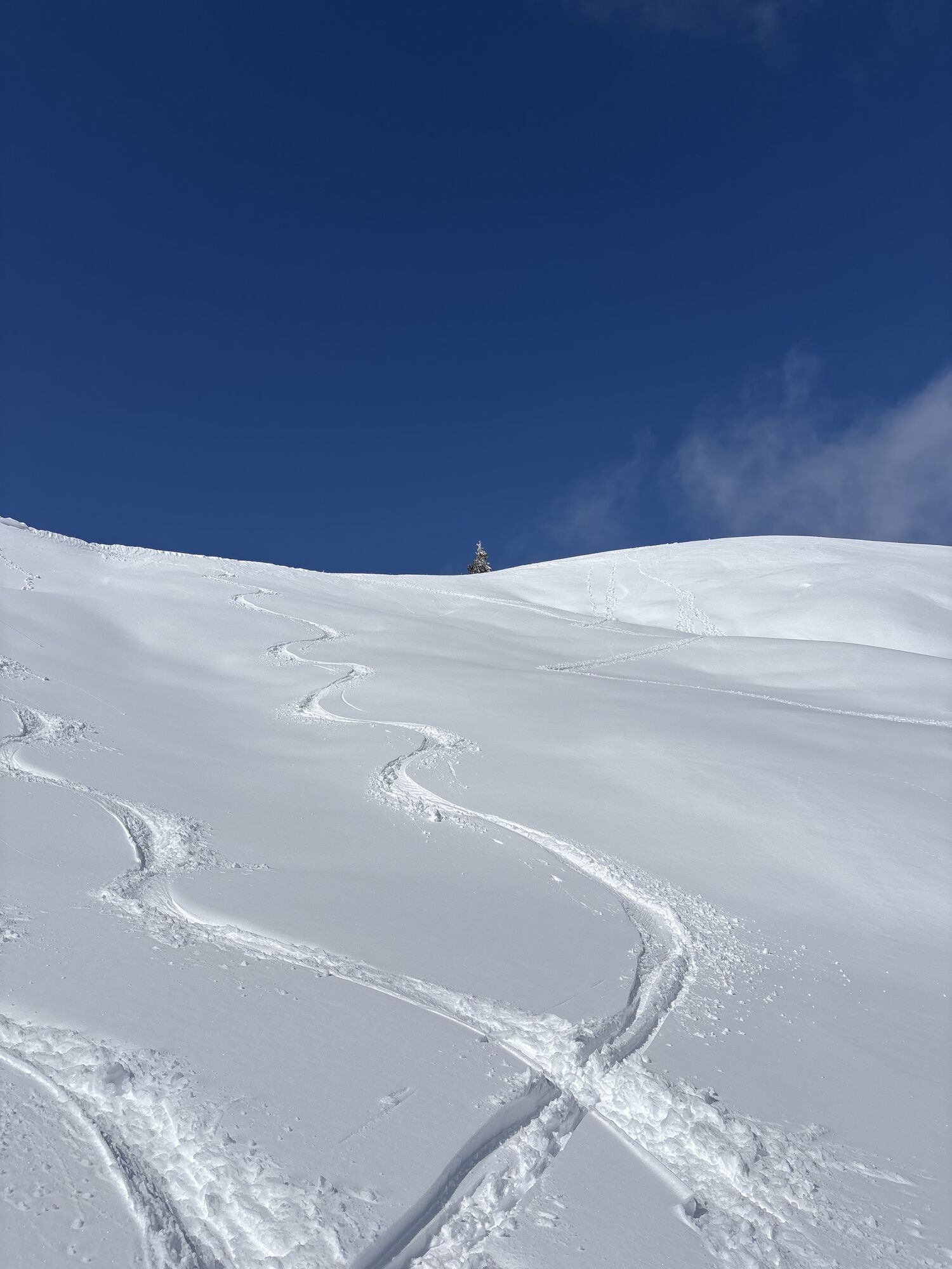
 © Heinz SperlCréé le 18.02.2026
 -
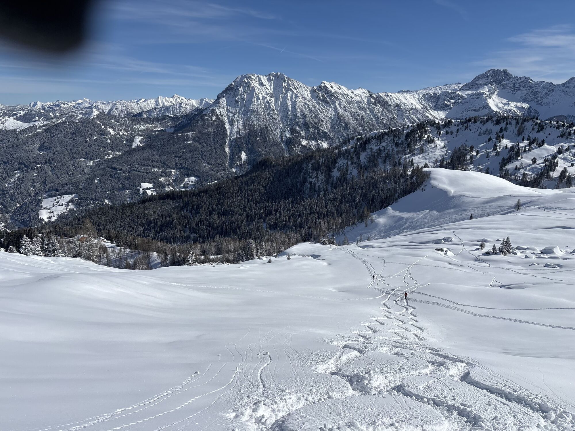
 © Heinz SperlCréé le 18.02.2026
 -
 © Heinz SperlCréé le 18.02.2026
 -
 © Heinz SperlCréé le 18.02.2026
 -
 © Heinz SperlCréé le 18.02.2026
 -
 © Heinz SperlCréé le 02.04.2025
 -
 © Heinz SperlCréé le 02.04.2025
 -
 © Heinz SperlCréé le 21.03.2025
 -
 © Heinz SperlCréé le 21.03.2025
 -
 © Heinz SperlCréé le 21.03.2025
 -
 © Heinz SperlCréé le 07.03.2025
 -
 © Heinz SperlCréé le 07.03.2025
 -
 © Heinz SperlCréé le 07.03.2025
 -
 © Helen LöfflerCréé le 09.02.2025
 -
 © Helen LöfflerCréé le 09.02.2025
 -

 © Isabella Schwaiger-MoserCréé le 07.02.2025


Day 1:
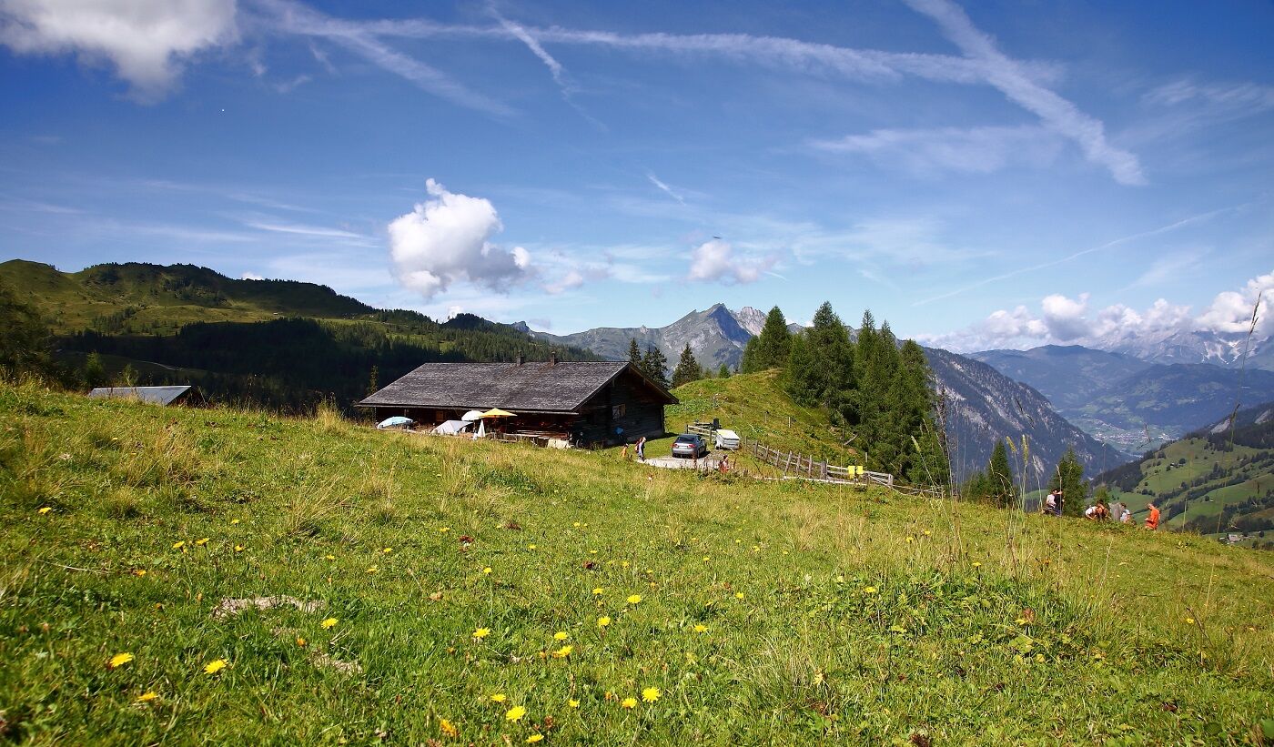
From the Sonneggbrücke car park, the trail leads to the cozy Breitenebenalm. There you can enjoy a fantastic mountain panorama and a large playground for all children. Then it's on to the rustic...
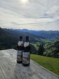
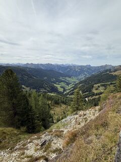
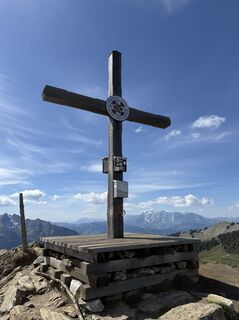
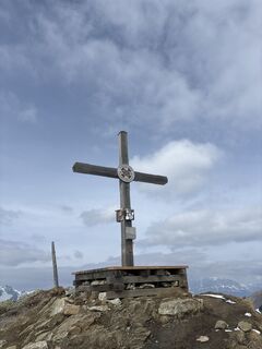
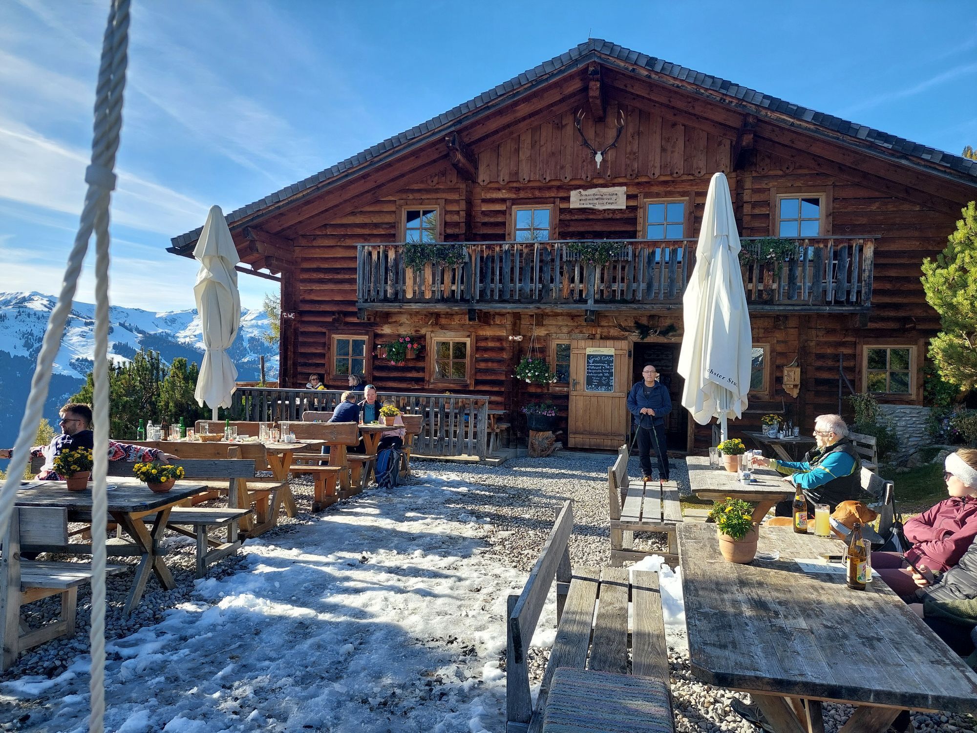
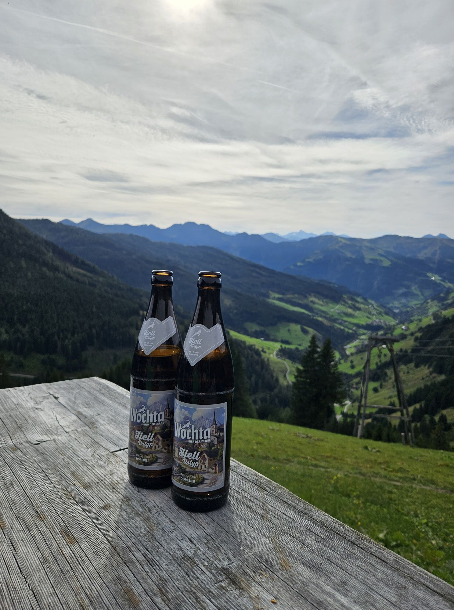
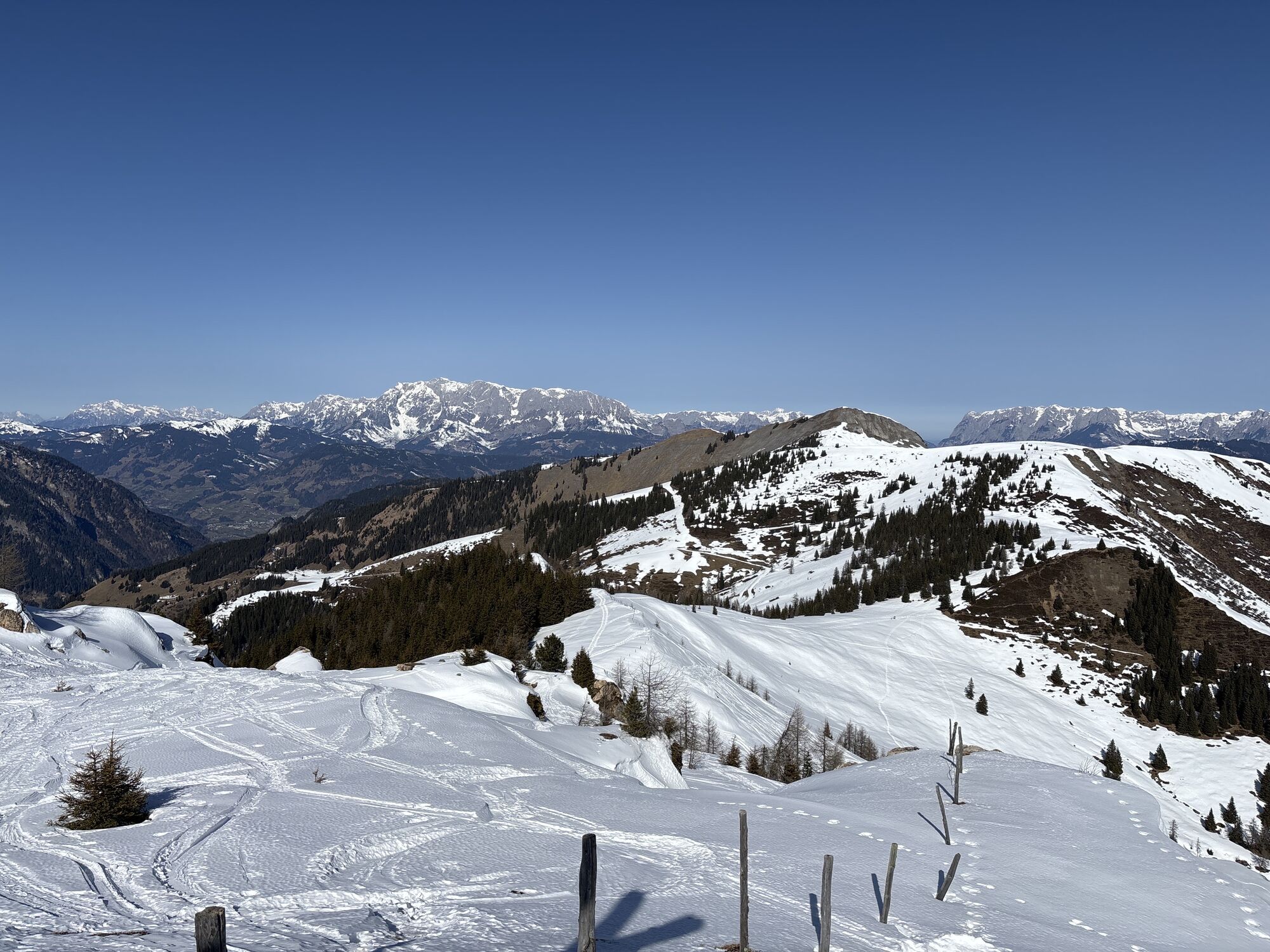
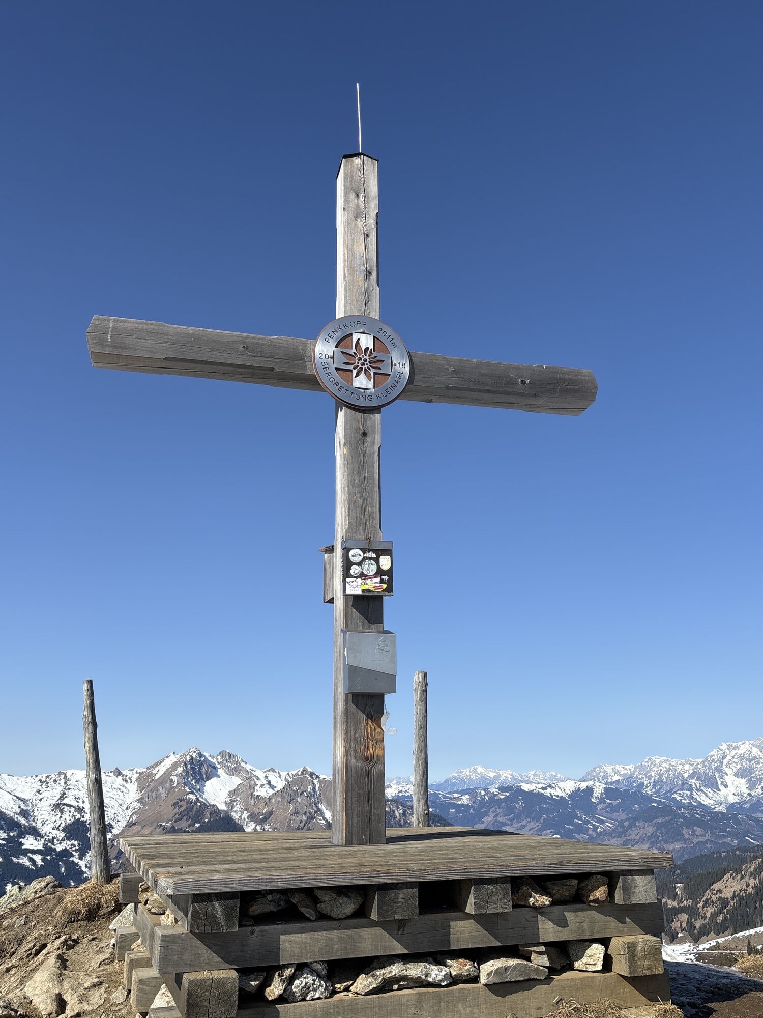
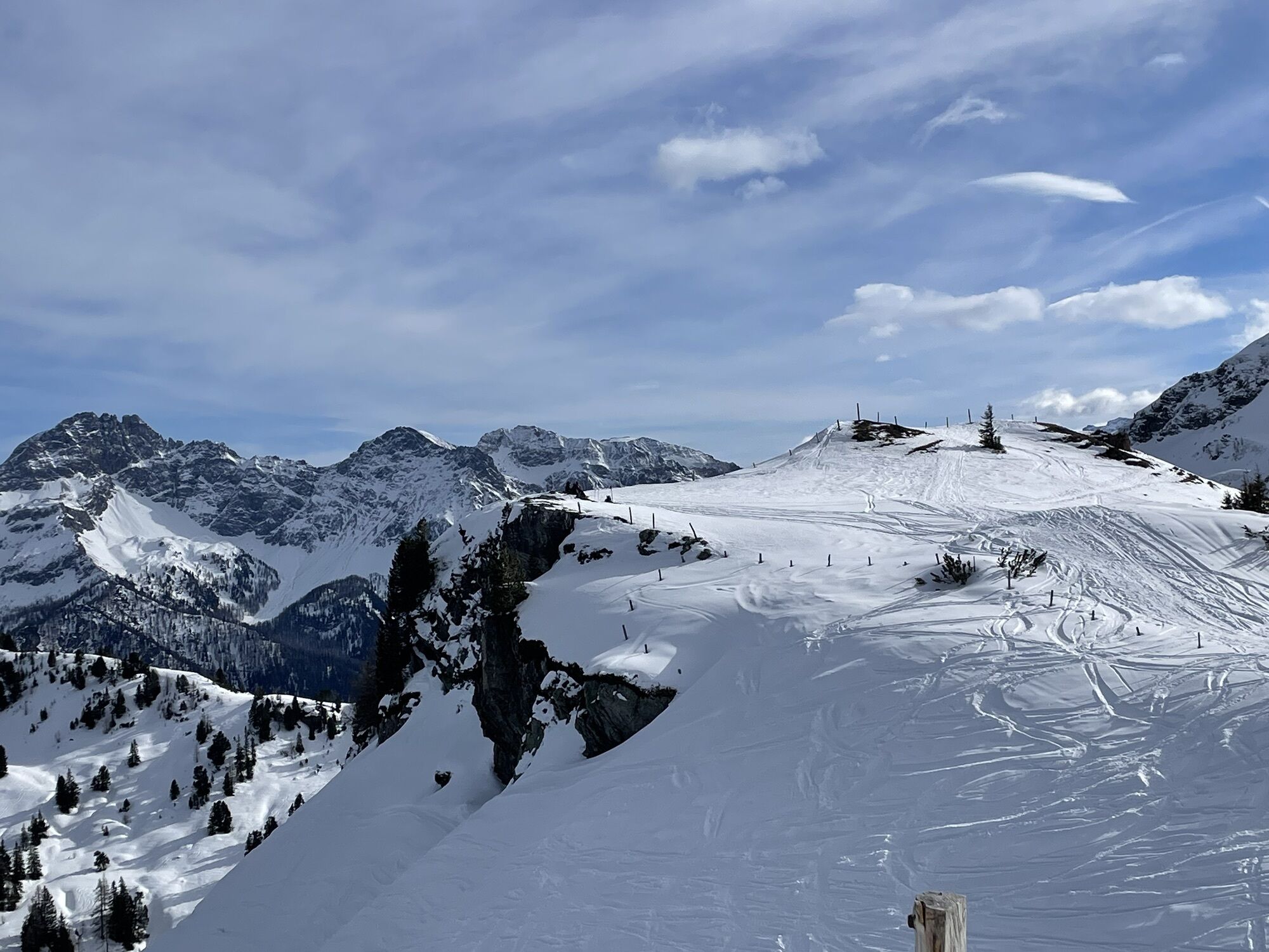
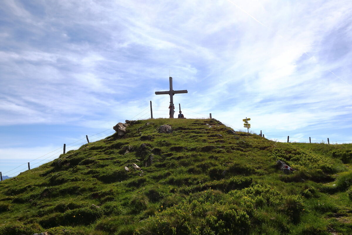
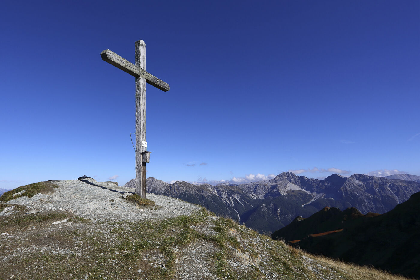
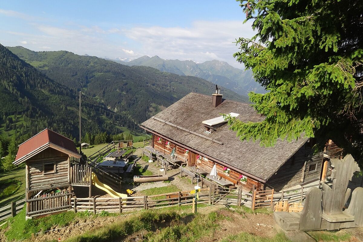
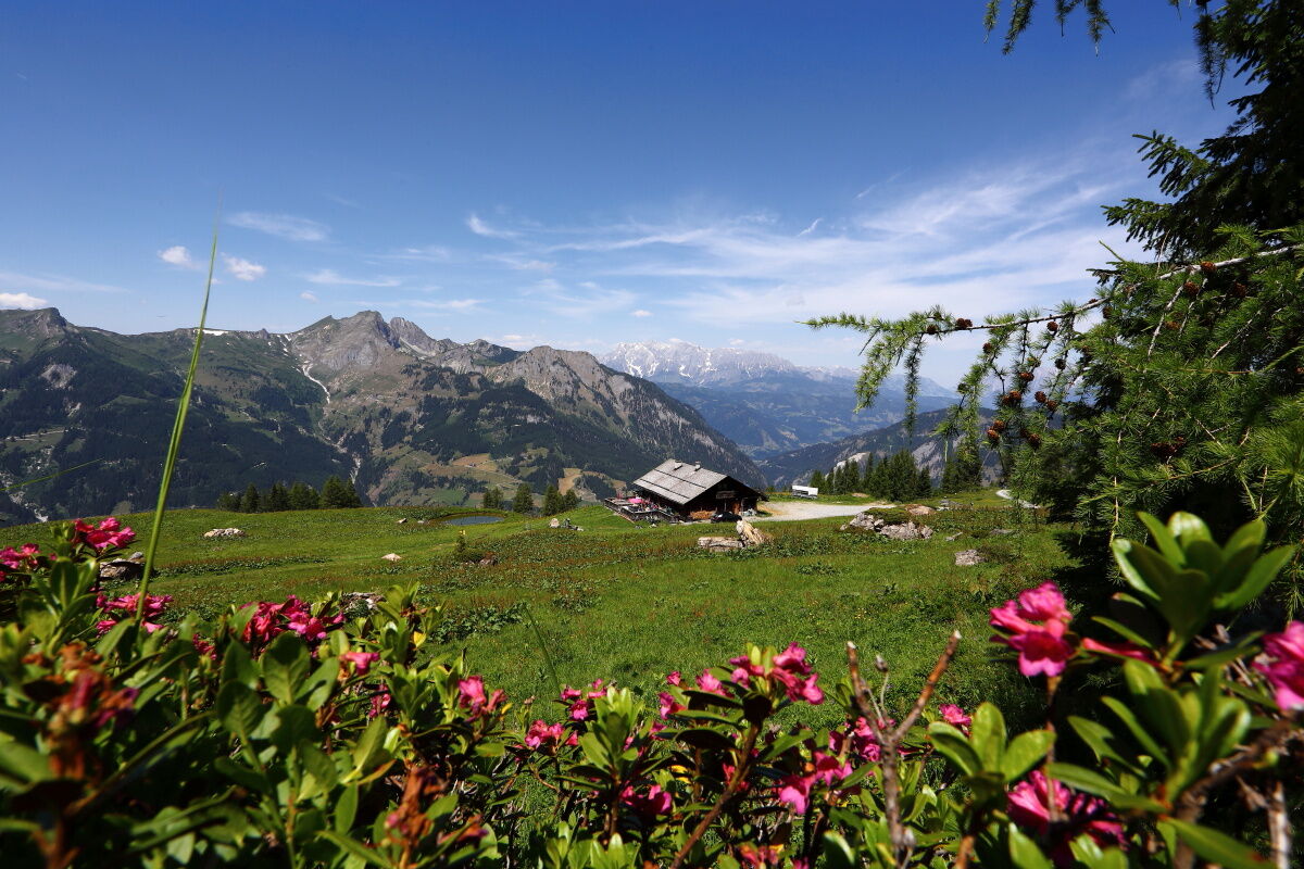
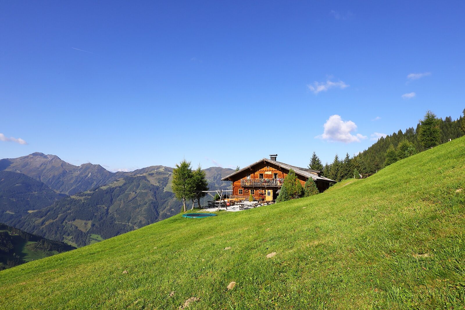
From the Sonneggbrücke car park, the trail leads to the cozy Breitenebenalm. There you can enjoy a fantastic mountain panorama and a large playground for all children. Then it's on to the rustic Grosswildalm, where the dairy farmers will treat you to a hearty snack. Well fortified, you continue to the Penkkopf, where you can enjoy a true summit experience. Another summit experience awaits you at the Gründegg. From there, the trail leads over the Rossfeldegg to your accommodation for the night - the Weissalm. Enjoy your evening on the mountain hut with an open fire, homemade products, and a sunset.
Day 2:
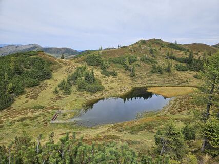
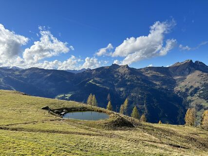
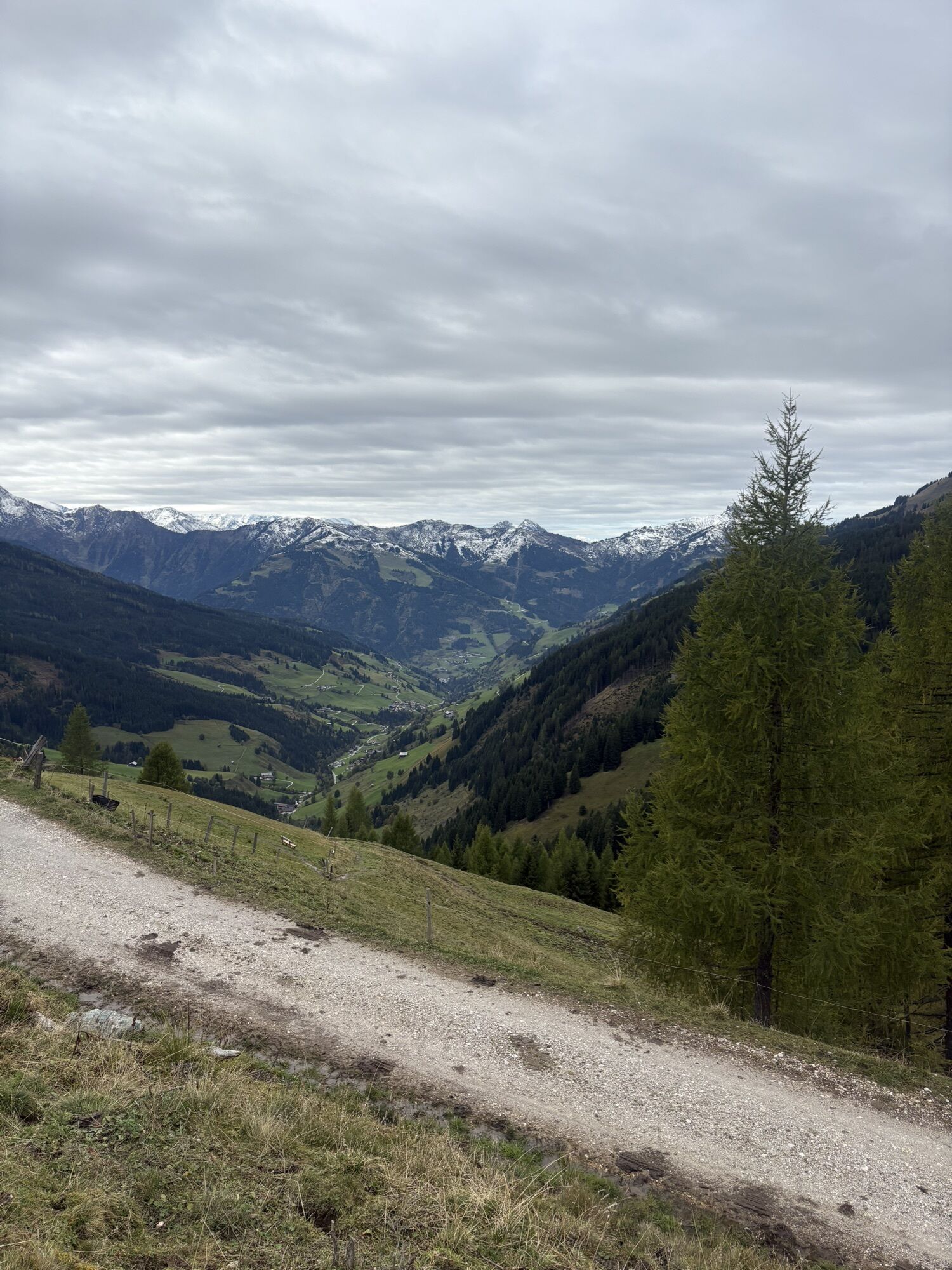
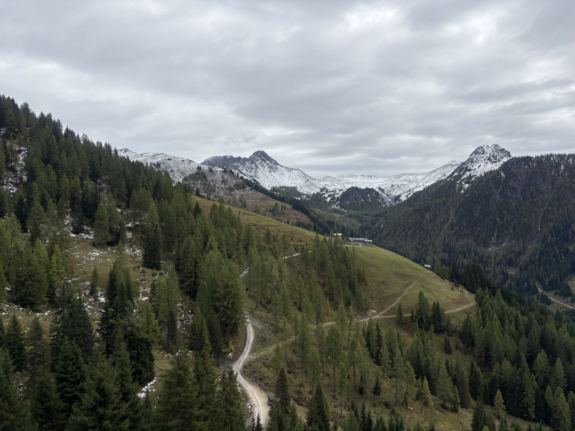
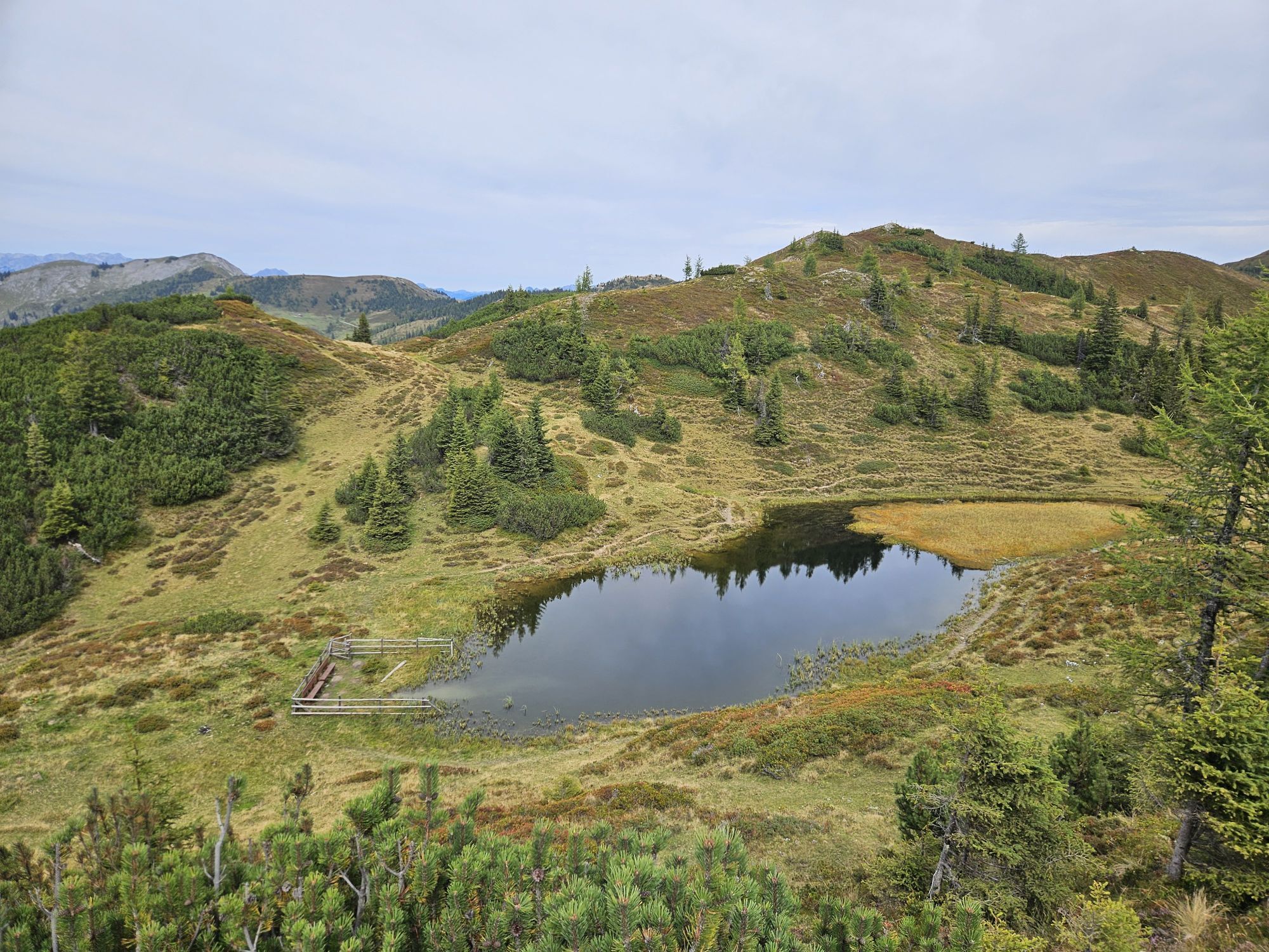
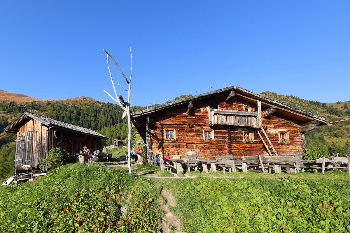
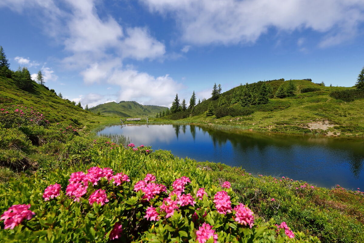
Fortified by breakfast, you continue to the Ellmaualm. A fantastic view and a cosy rest await you. Then, with unique views over the Trögseen lakes, the small moorland lakes that offer welcome refreshment for your feet in summer, the route continues to the highest mountain hut in Grossarltal, the Saukaralm. There you will be treated to regional delicacies. The trail then continues to the Gerstreitalm. You will spend the second night here.
Day 3:
On the last day, you will hike along the trail to the Vorderstadluck car park. From there, you can take the Hertas Rast trail back to the center of Grossarl. You also have the option of taking the hiking taxi from the Vorderstadluck car park for a comfortable ride back to the village.
Day 2: Follow trail no. 63 to the Ellmaualm, 1794 m (approx. 1/2 hour). Continue on trail no. 62 and then no. 64 via the Trögseen to the Saukaralm, 1850 m (approx. 2 hours). From there, take trail no. 65 and 65A to the Gerstreitalm, 1575 m (approx. 1 h). Overnight stay at the Gerstreitalm. Total walking time: approx. 3 1/2 h
Day 3: Follow trail no. 65 A to the Vorderstadluck car park (approx. 1 hour). From there, you can take the hiking taxi back down to the valley. Alternatively, descend via trail no. 65 and no. 17 (Hertas Rast) to the center of Grossarl (approx. 45 minutes). Total walking time: approx. 1 hour 45 minutes
Oui
Hiking boots with treaded soles, some fruit, drinks (refillable bottles), wind and rain protection, toiletries, warm clothing and a change of clothes, flashlight, mini first aid kit, hiking map, sunscreen, chocolate or granola bars, etc.
Drive by car or hiking taxi to the Sonneggbrücke car park.
If you take the hiking taxi to the Sonneggbrücke car park, you can park your car at the Viehhauser gas station.
T2
Unique sunsets await you on this multi-day hike.
Webcams de la tournée
-
Kreuzkogel
-
Fulseck
-
Gernkogel - Alpendorf St. Johann
-
Hotel Lammwirt im Großarltal/Ellmautal
-
Dorfgastein - Spiegelsee
-
Bergstation 6er Sesselbahn Harbach
-
Ellmautal - Palfenhof
-
Kühhagerbahn Bergstation
-
Großarl - Ort
-
St.Johann-Alpendorf Gernkogel
-
Gernkogel - Alpendorf St. Johann
-
Dorfgastein - Spiegelsee
-
Mooslehen Berg
-
Großarl - Loosbühelalm
-
Großarl - Kieserlbahn
-
Grossarl - Hotel Gasthof Schützenhof
-
Großarl - Hotel Kristall Übungslift
-
Bergstation Kieserl
-
Gernkogel - Alpendorf St. Johann
-
Gernkogel - Alpendorf St. Johann
-
Gernkogel - Alpendorf St. Johann
-
Gernkogel - Alpendorf St. Johann
-
Großarl
Parcours populaires à proximité
-
4,9
Großarl : Aualm - Liechtensteinkopf - Aukopf - Schuhflicker - Schuhflickersee
moyenRandonnée 5,84 km -
5,0
Großarl : Circuit des alpages dans la vallée d'Ellmautal
moyenRandonnée 9,69 km -
4,1
Tappenkarsee Kleinarl
moyenRandonnée 9,11 km -
4,9
Höhenweg vom Grünen Baum bis Bad Hofgastein
facileRandonnée 7,92 km -
4,8
Großarl : Mooslehenalm – Niggeltalalm – Viehhausalm
moyenRandonnée 5,44 km -
4,6
Bahnhof Bad Hofgastein nach Bahnhof Bad Gastein
moyenRandonnée 13,0 km -
4,5
Großarl : Saukaralm - Saukarkopf - Gerstreitalm
moyenRandonnée 9,11 km -
4,5
Wasserfall Bad Hofgastein
facileRandonnée 3,89 km -
4,2
Großarl : Unterwandalm - Karseggalm - Breitenebenalm
moyenRandonnée 5,93 km -
4,5
Mosermandl Windischscharte, Salzburger Land/Österreich
difficileRandonnée 14,6 km
Randonnée et suivi


Ne manquez pas les offres et l'inspiration pour vos prochaines vacances
Votre adresse électronique a été ajouté à la liste de diffusion.