


Grossarltal: 3-day hike via the Breitenebenalm and Ellmaualm to the Draugsteinalmen
Niveau de difficulté: T2


Day 1:
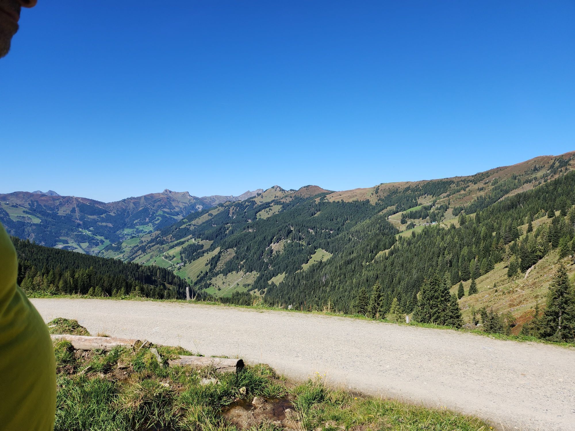
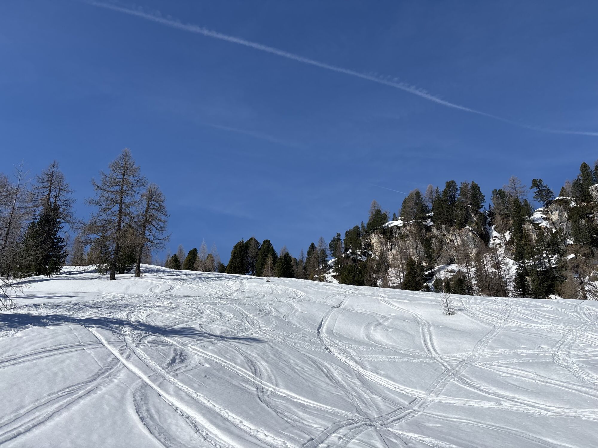
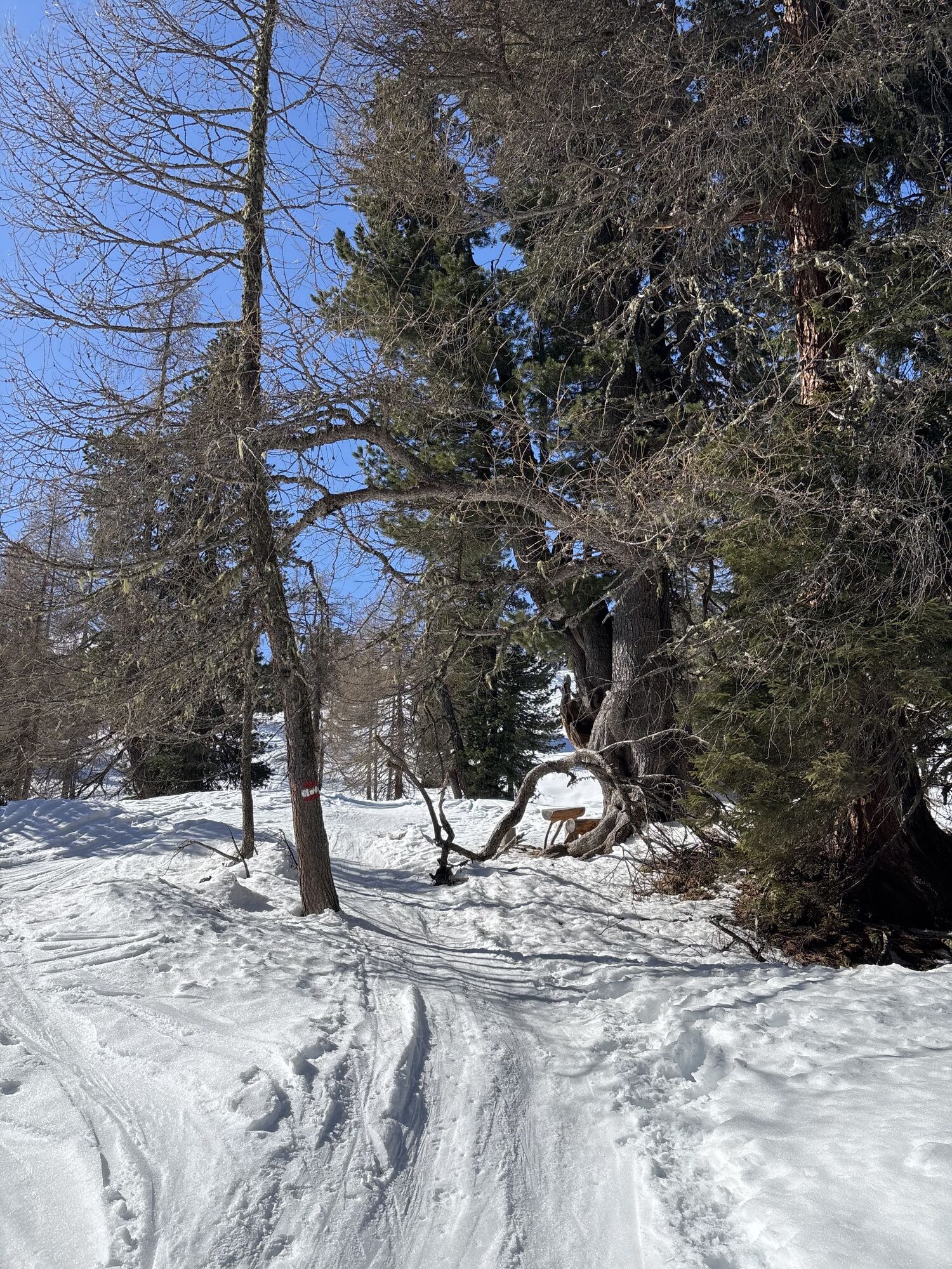
Take the hiking taxi to Sonneggbrücke or a little further up to the parking area Breiteneben barrier. You can reach the Breitenebenalm via the forest road or the shortcuts through the forest. It...
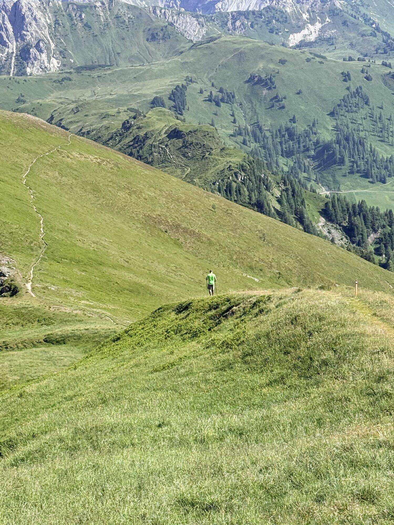
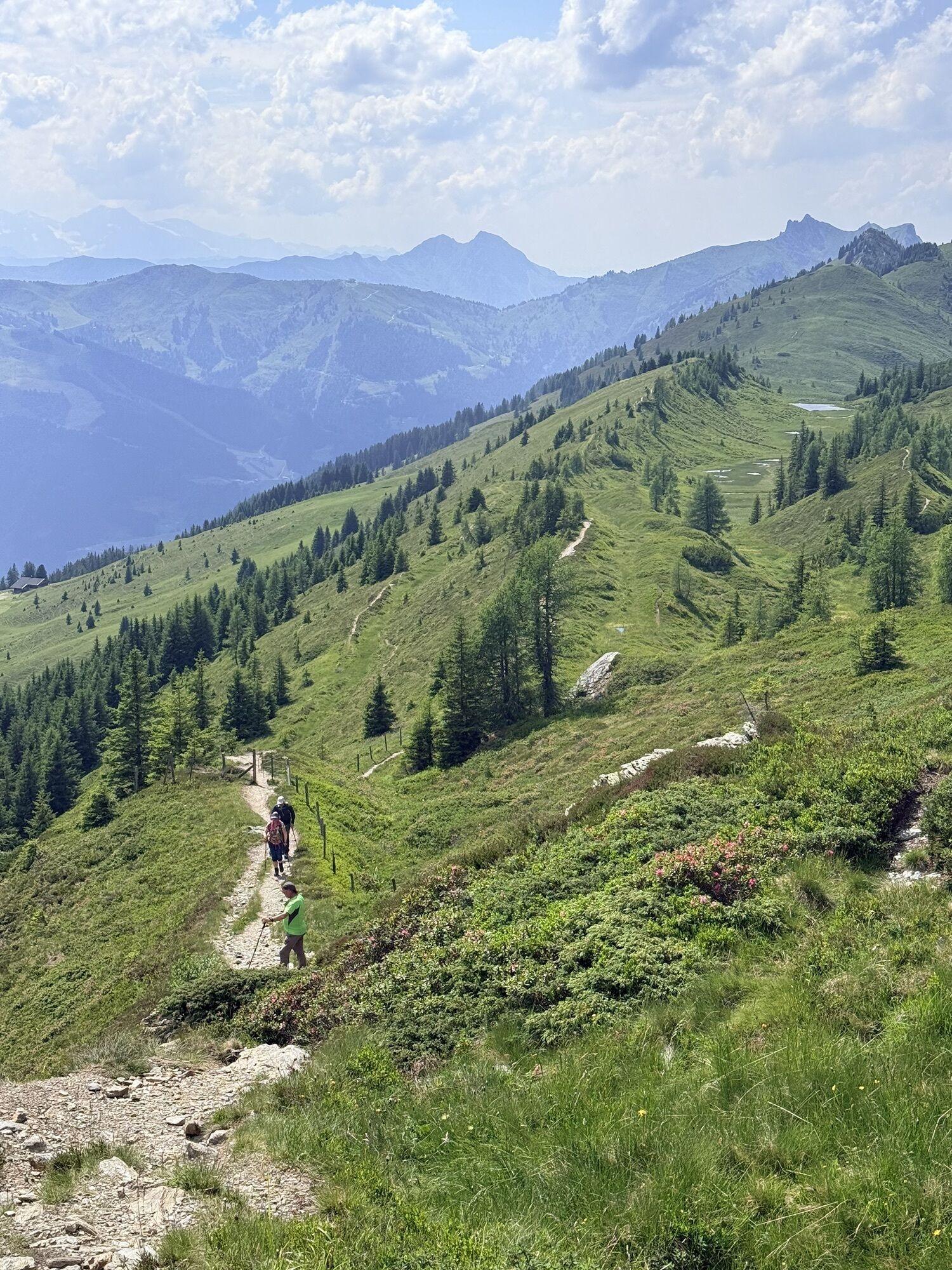
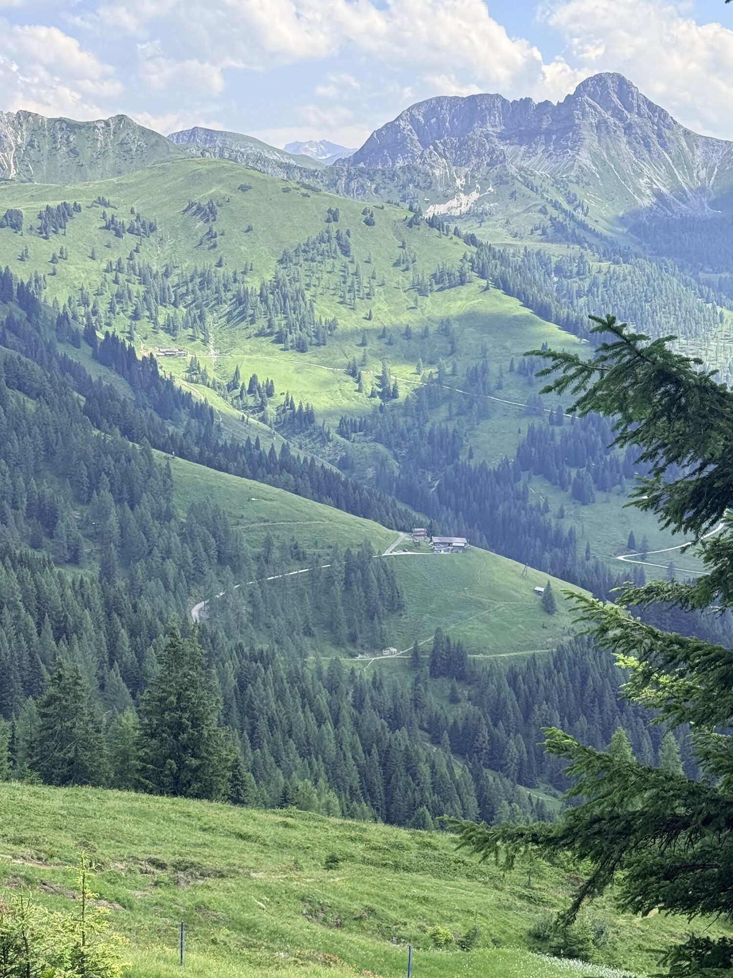
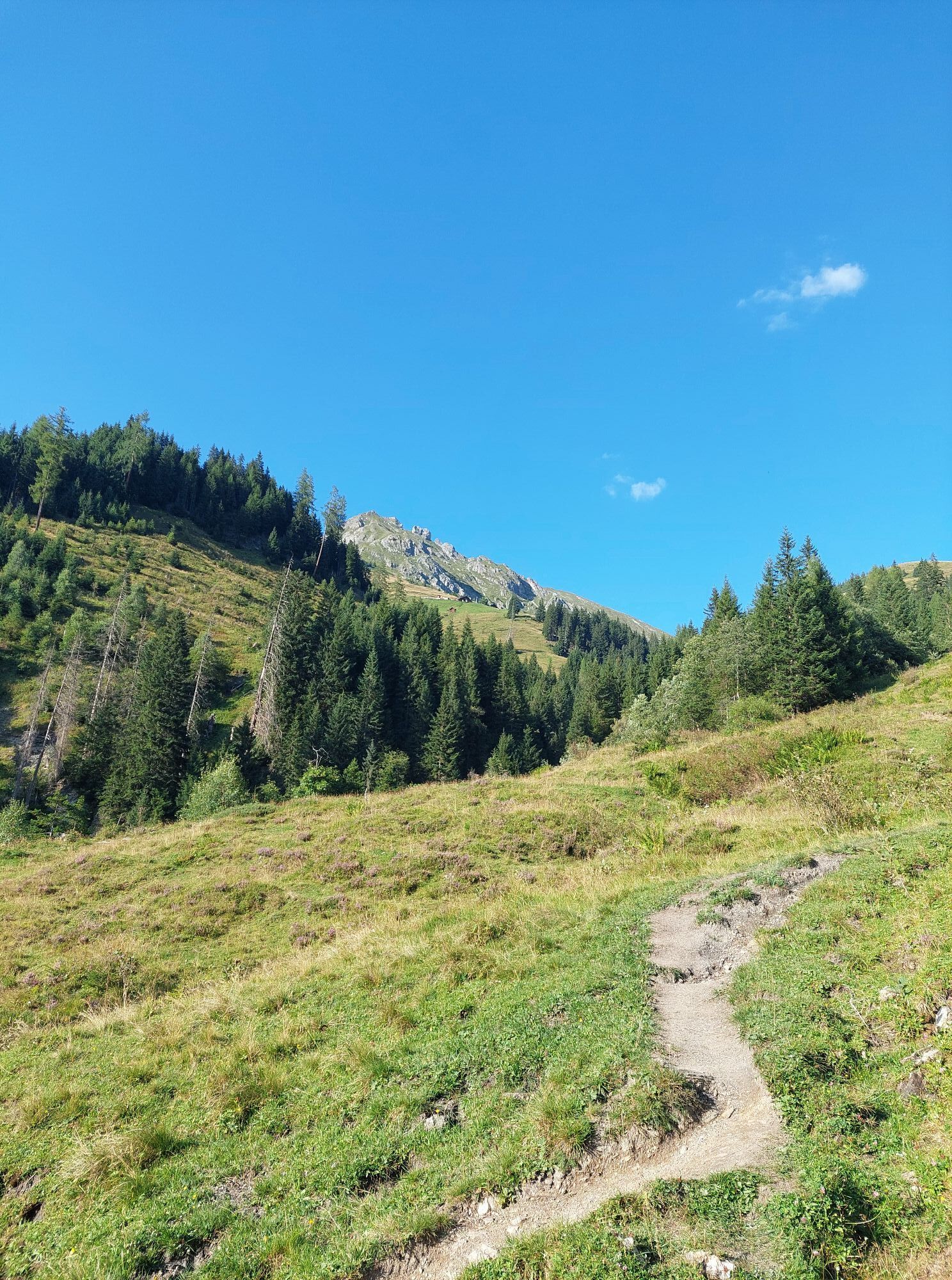
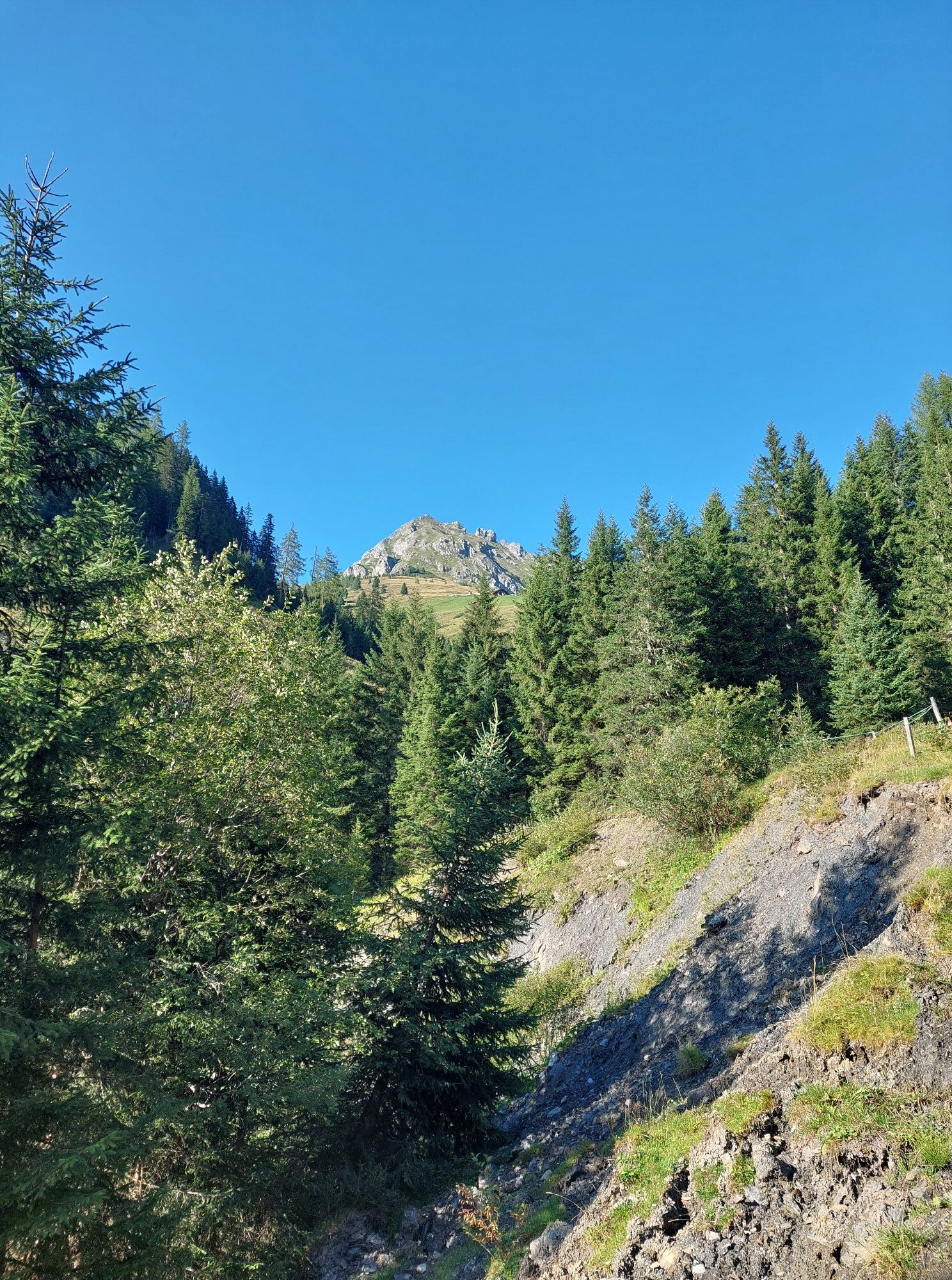
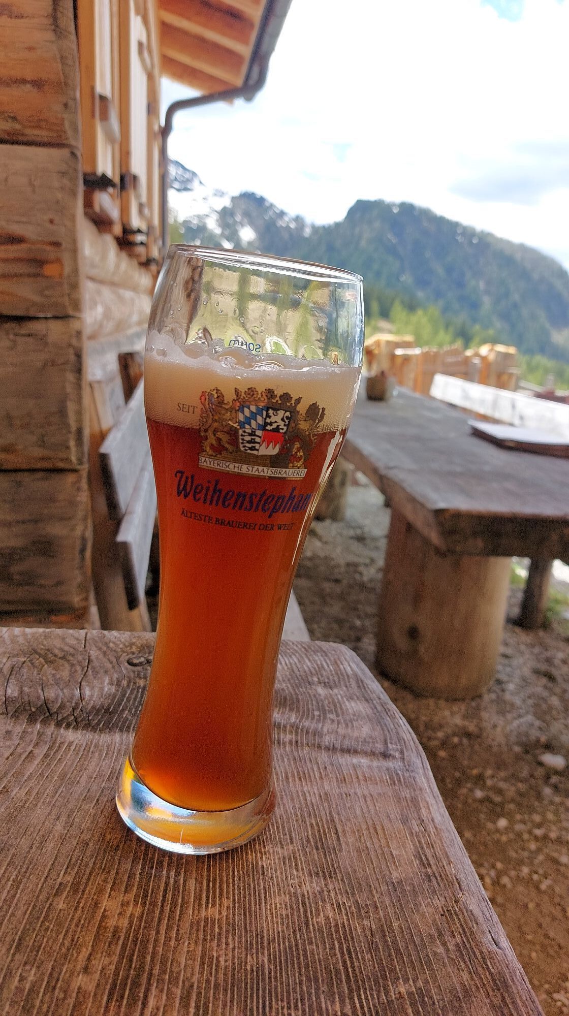
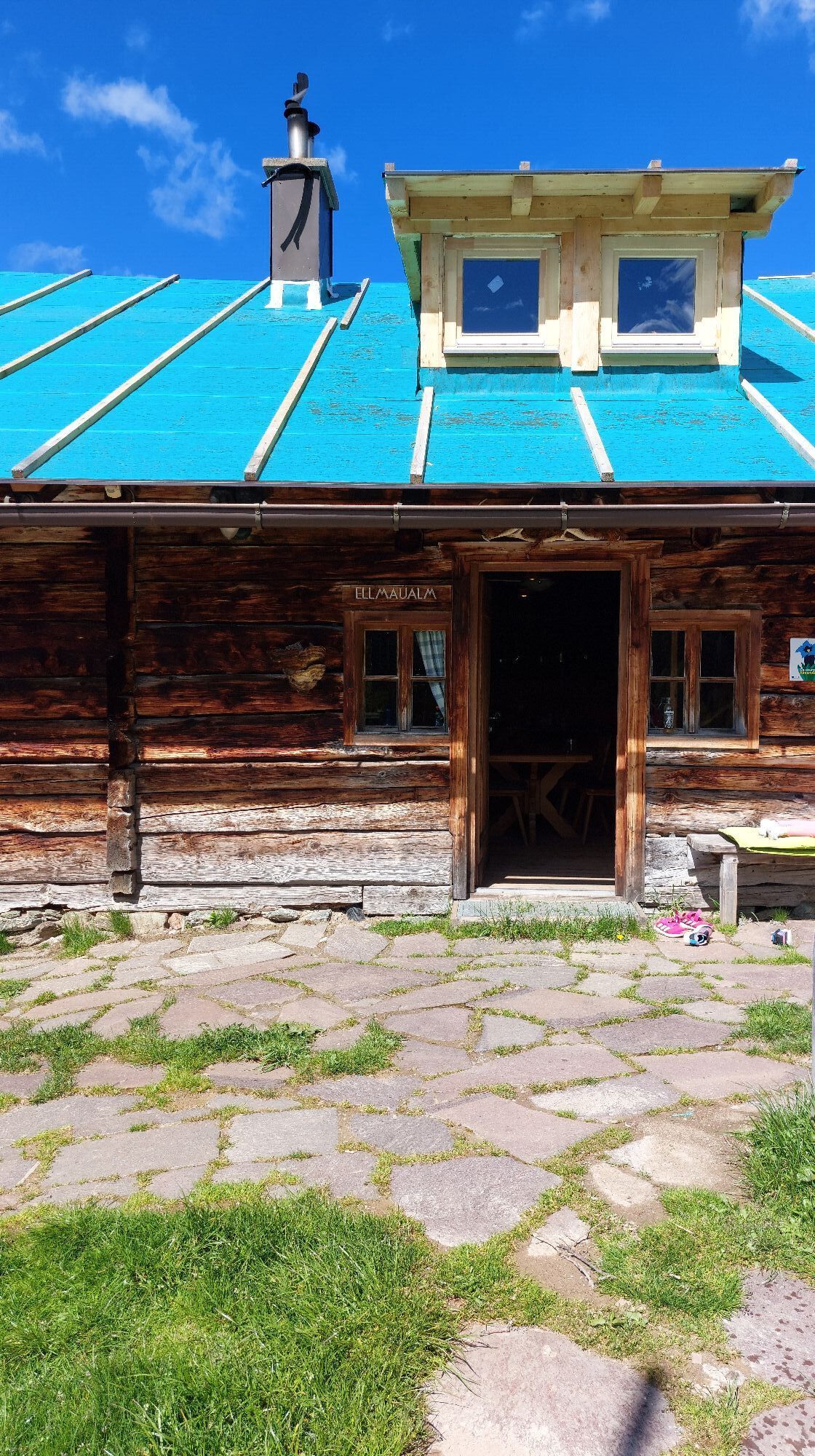
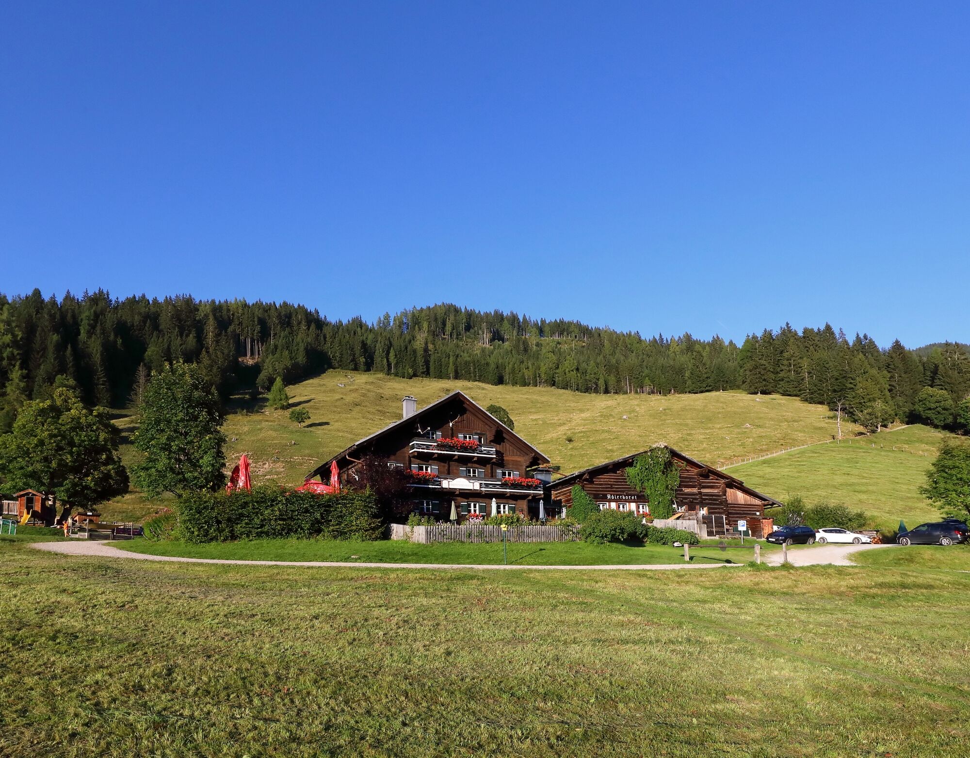
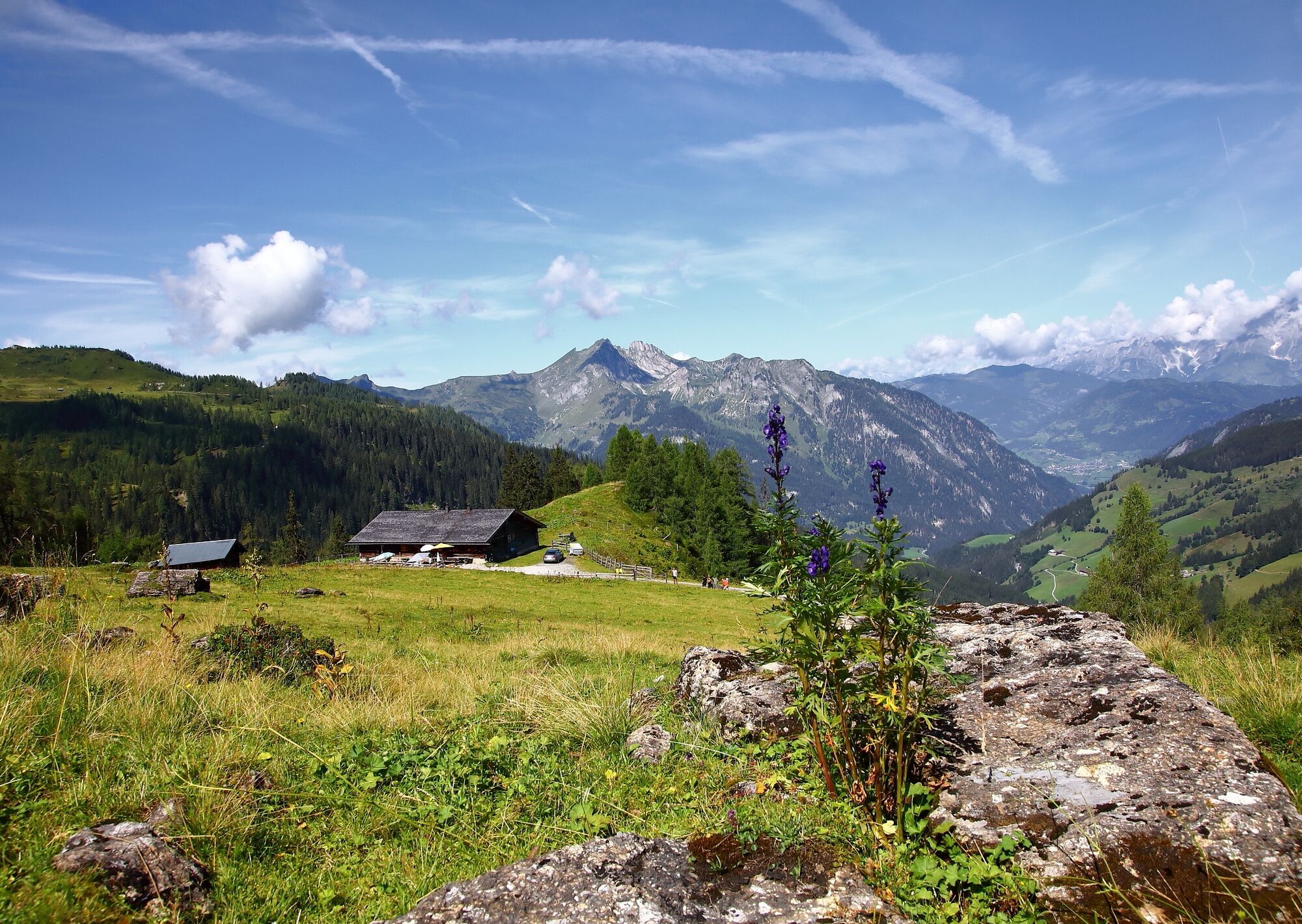
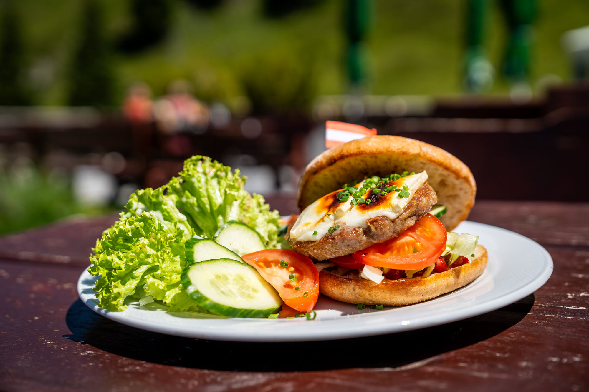
Take the hiking taxi to Sonneggbrücke or a little further up to the parking area Breiteneben barrier. You can reach the Breitenebenalm via the forest road or the shortcuts through the forest. It is best known for its desserts such as apple strudel, Kaiserschmarrn, blackberry dumplings and Buchteln. In addition, hearty dishes such as roast pork, cheese gnocchi, fresh salads and alpine burgers are served – best enjoyed on the spacious sun terrace. There is a playground and small animals for children. The further ascent leads first along a hiking trail and then along the forest road to the Grosswildalm, where a hearty snack with homemade specialities awaits you. The route continues via the Spatalm and Henerbichlalm (both unmanaged) to the Ellmaualm. There you can enjoy not only a fantastic panorama of the surrounding mountains, but also a cosy evening in the hut, as this is where you will spend your first night. Alternatively, you can also stay overnight at the Weissalm.
Day 2:
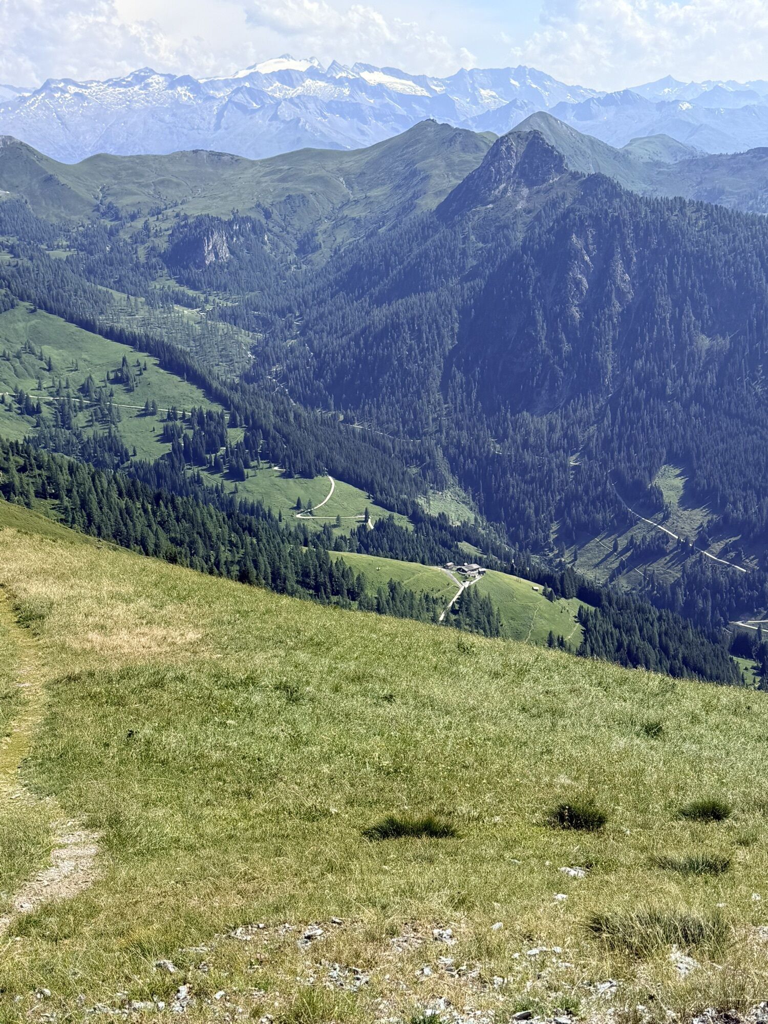
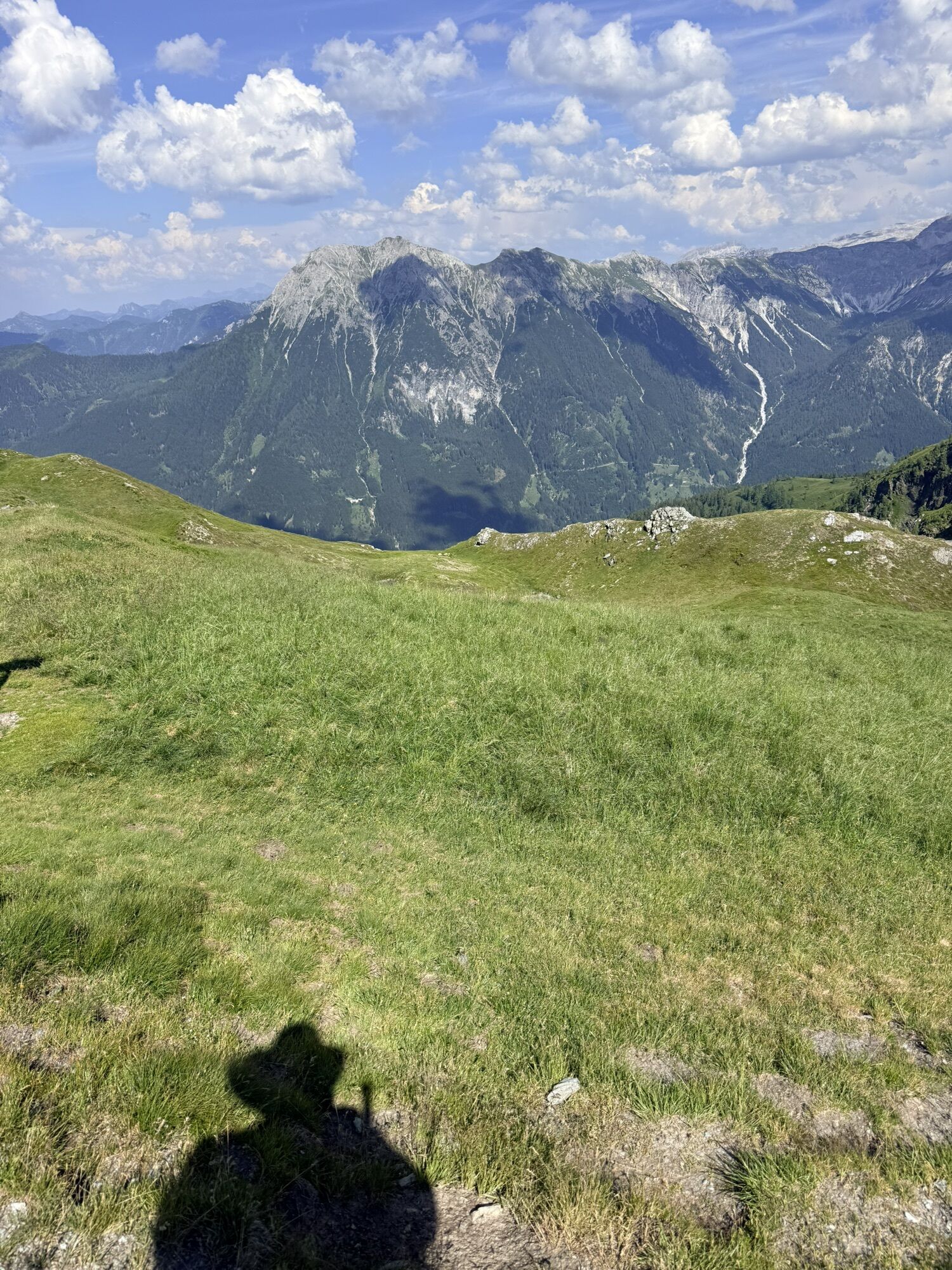
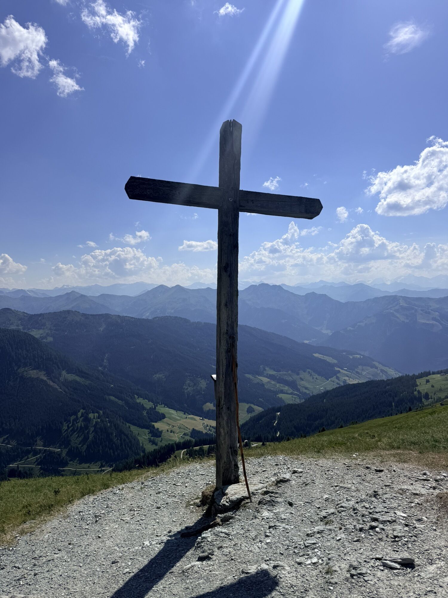
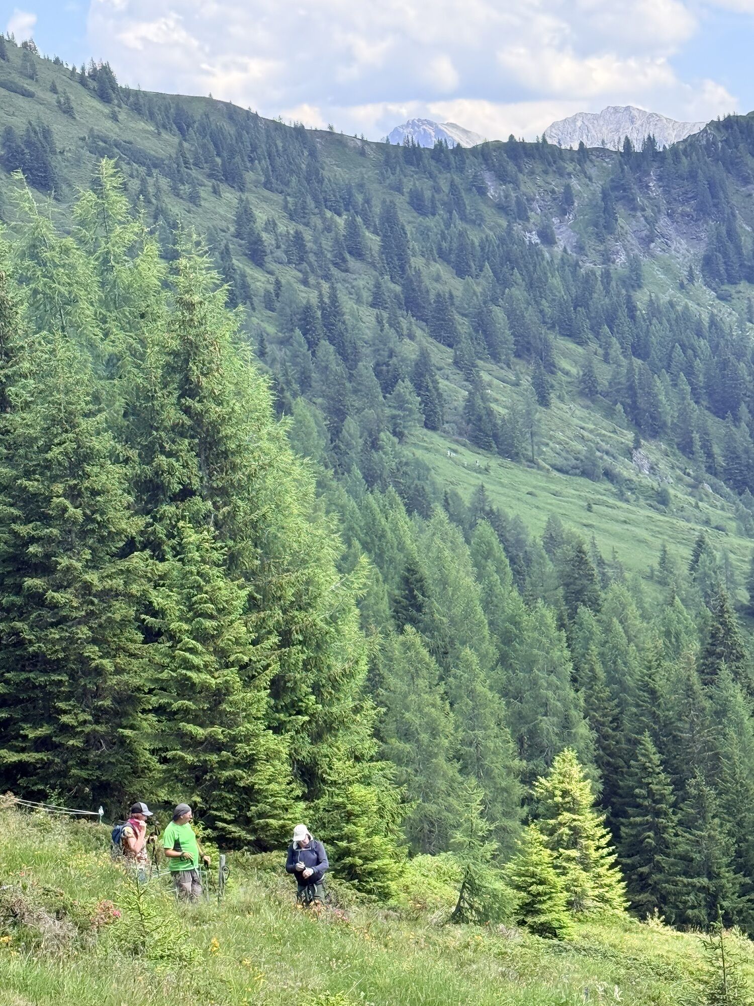
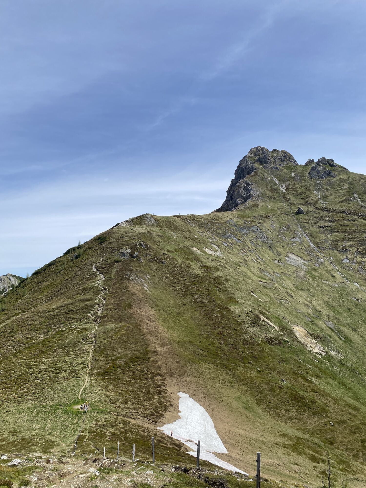
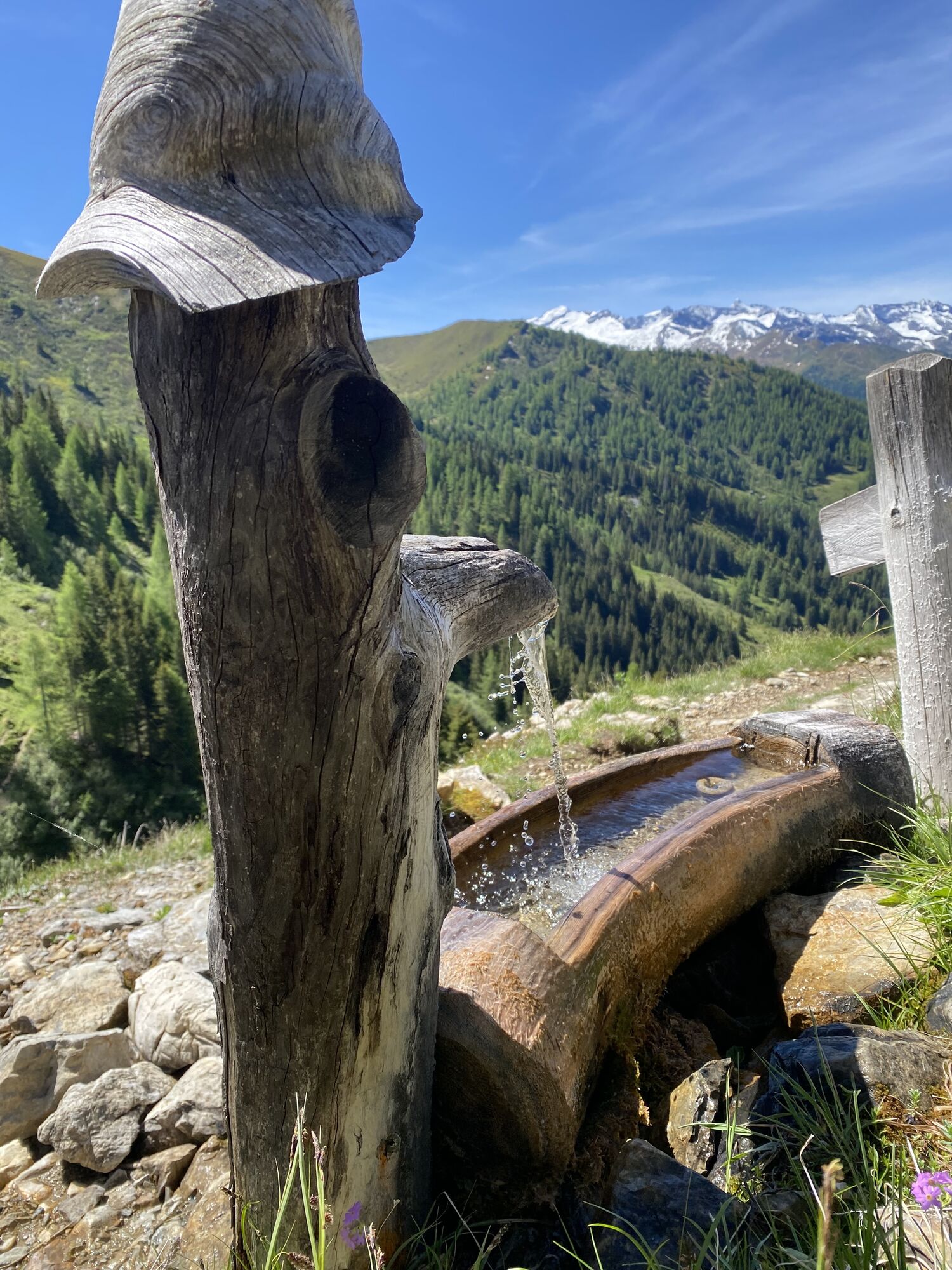
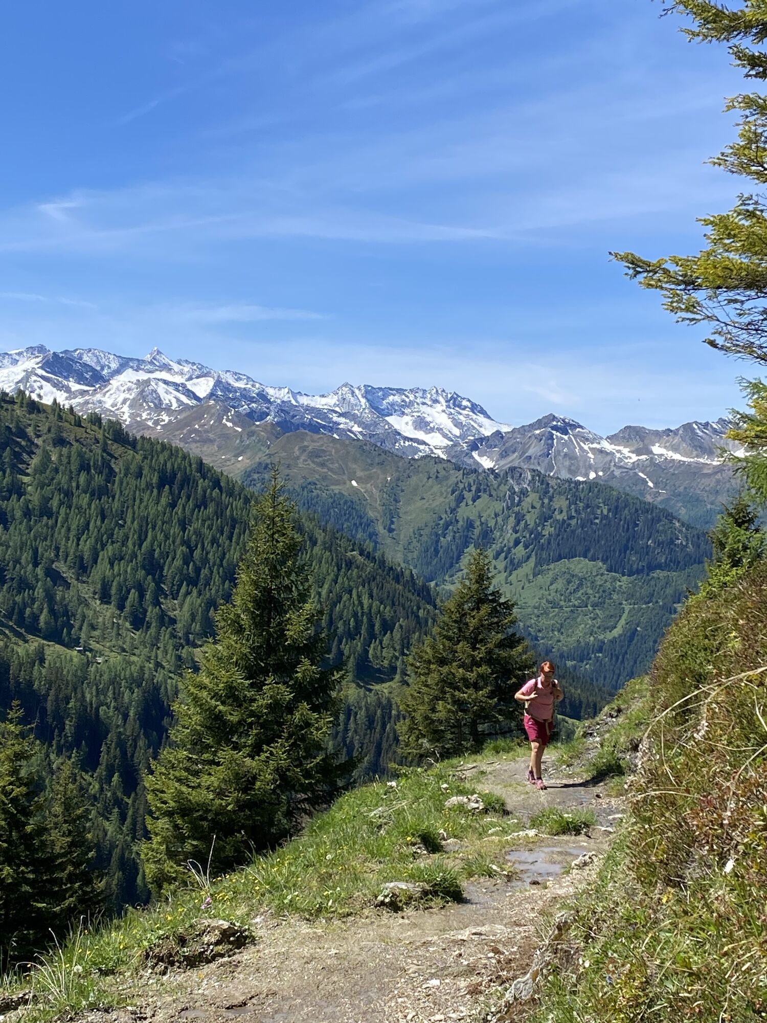
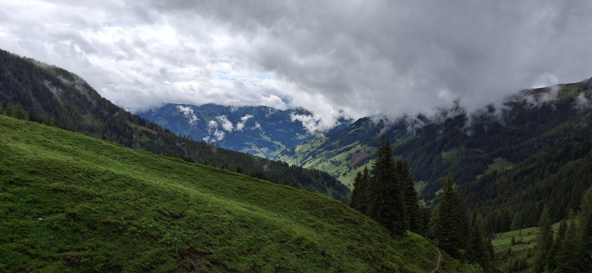
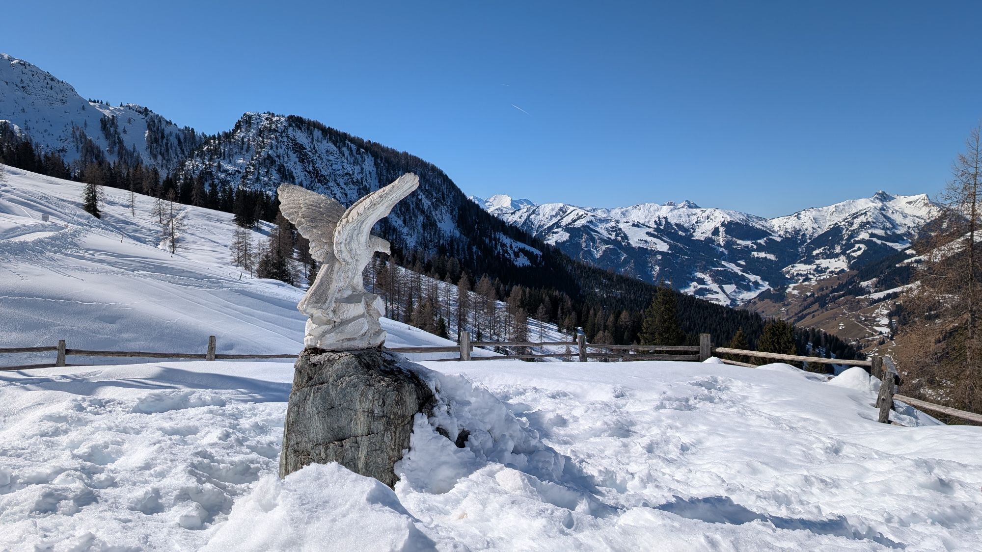
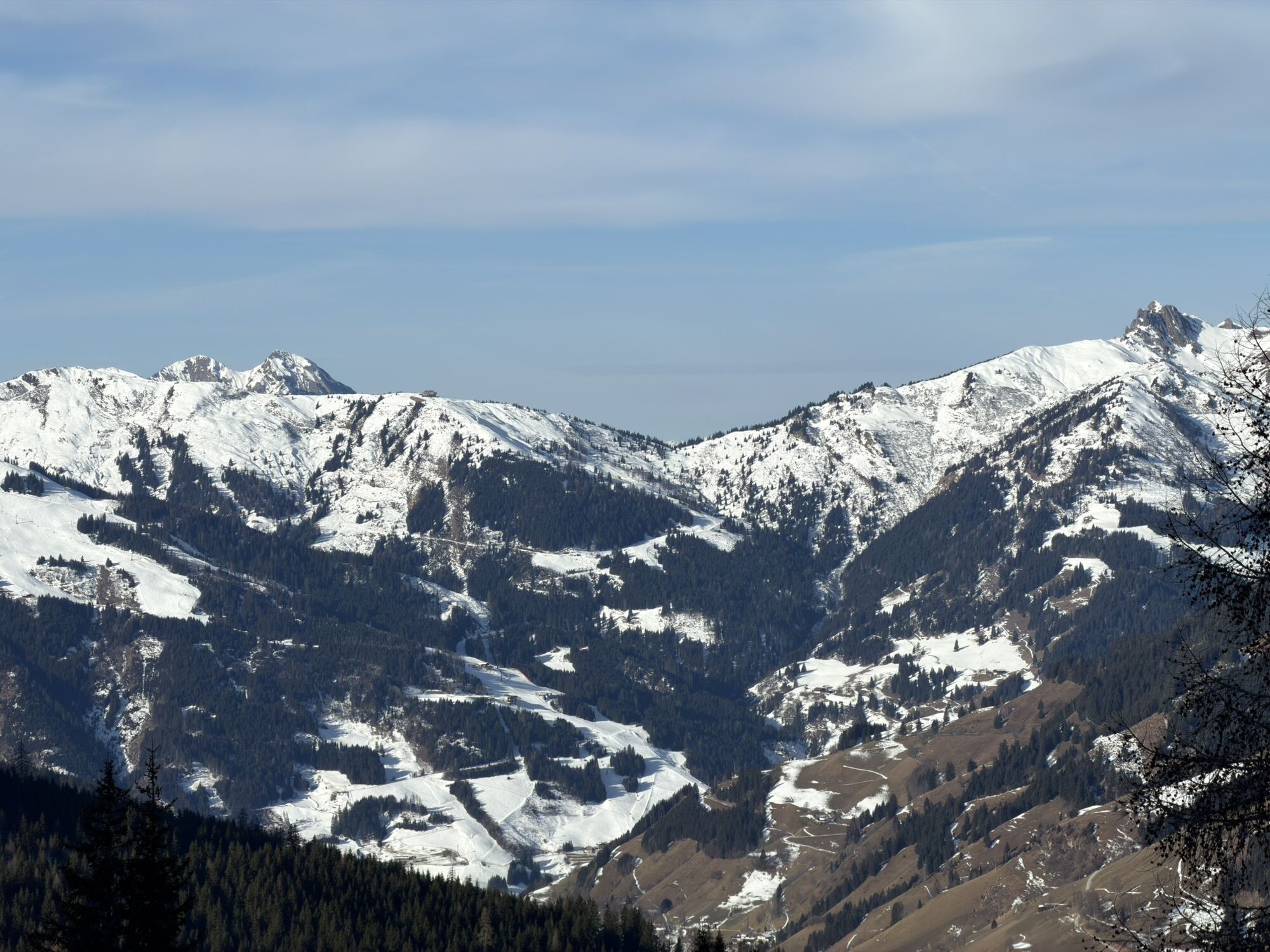
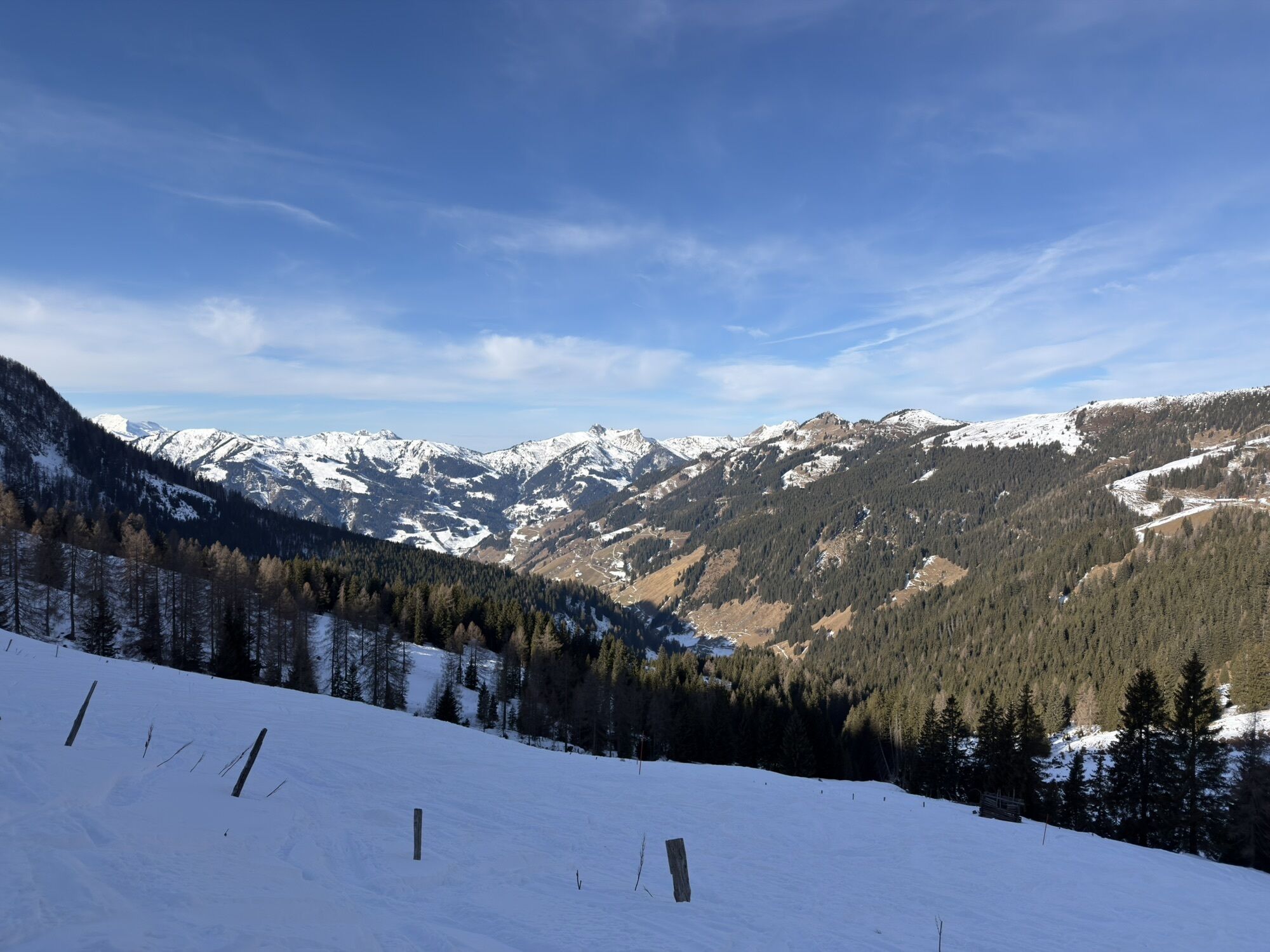
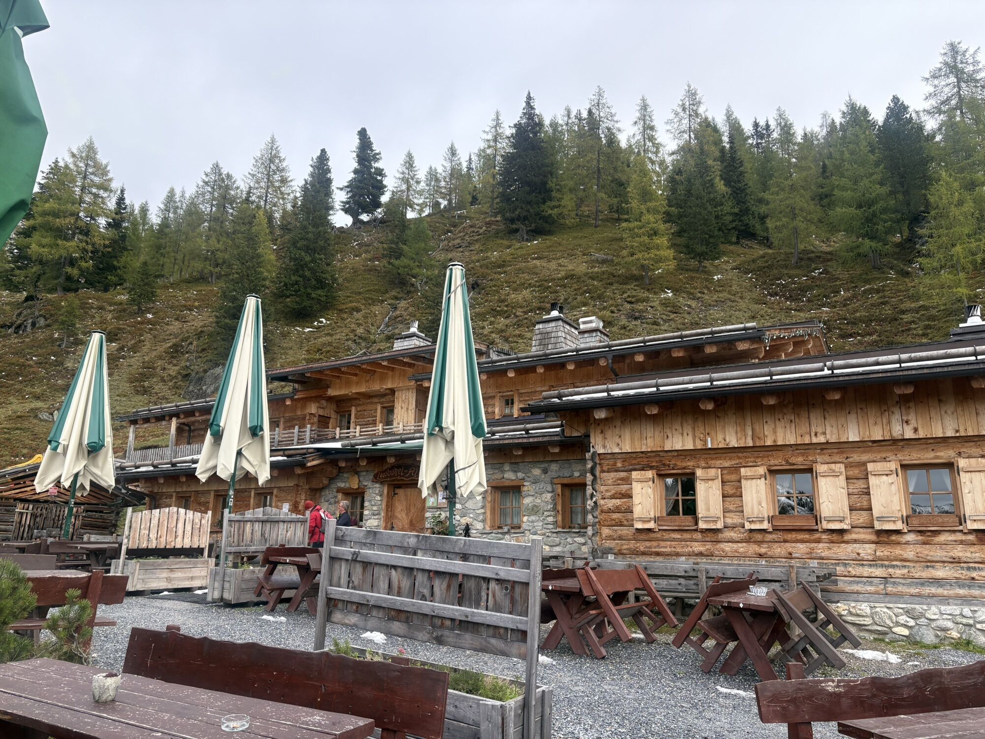
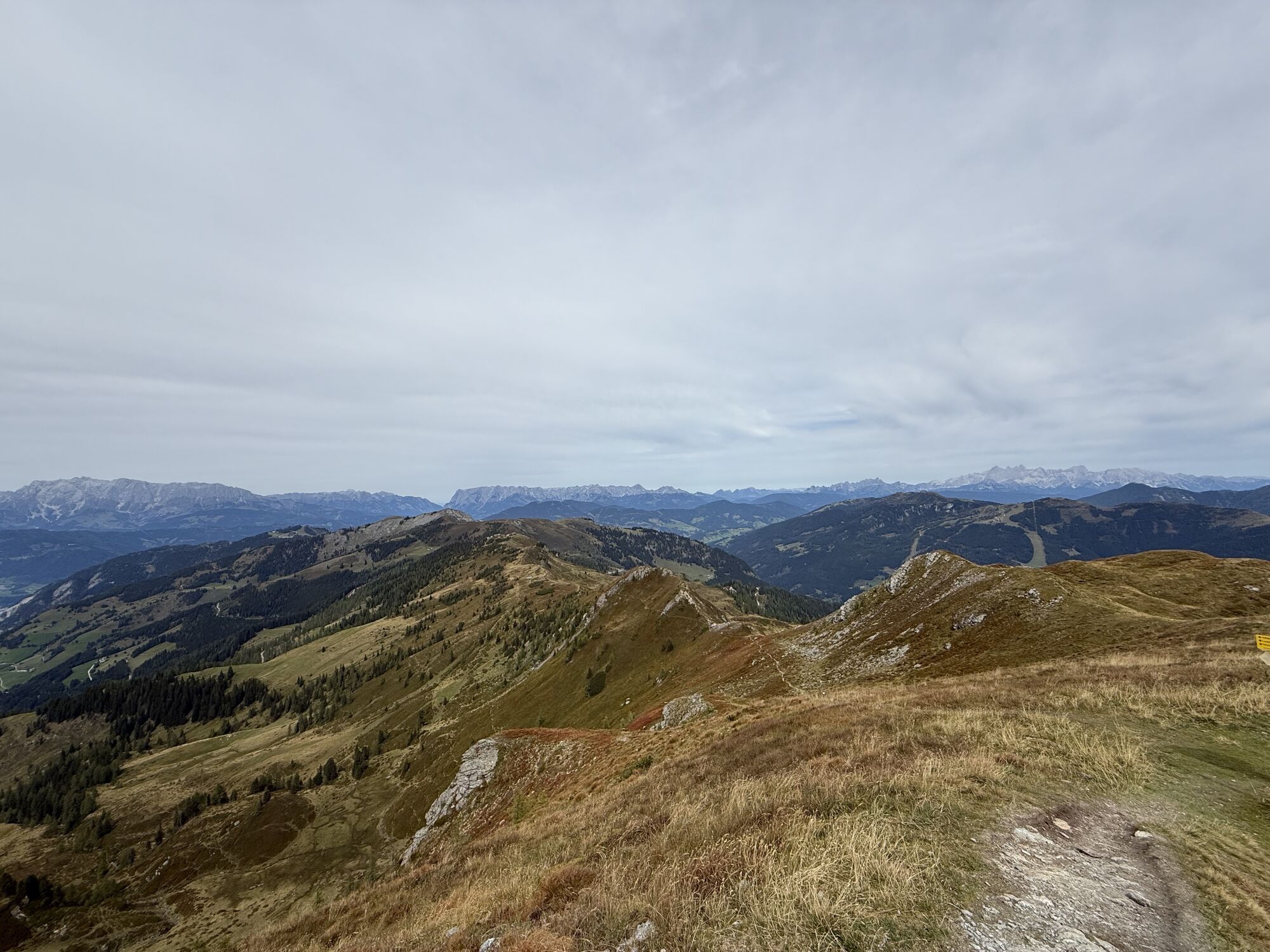
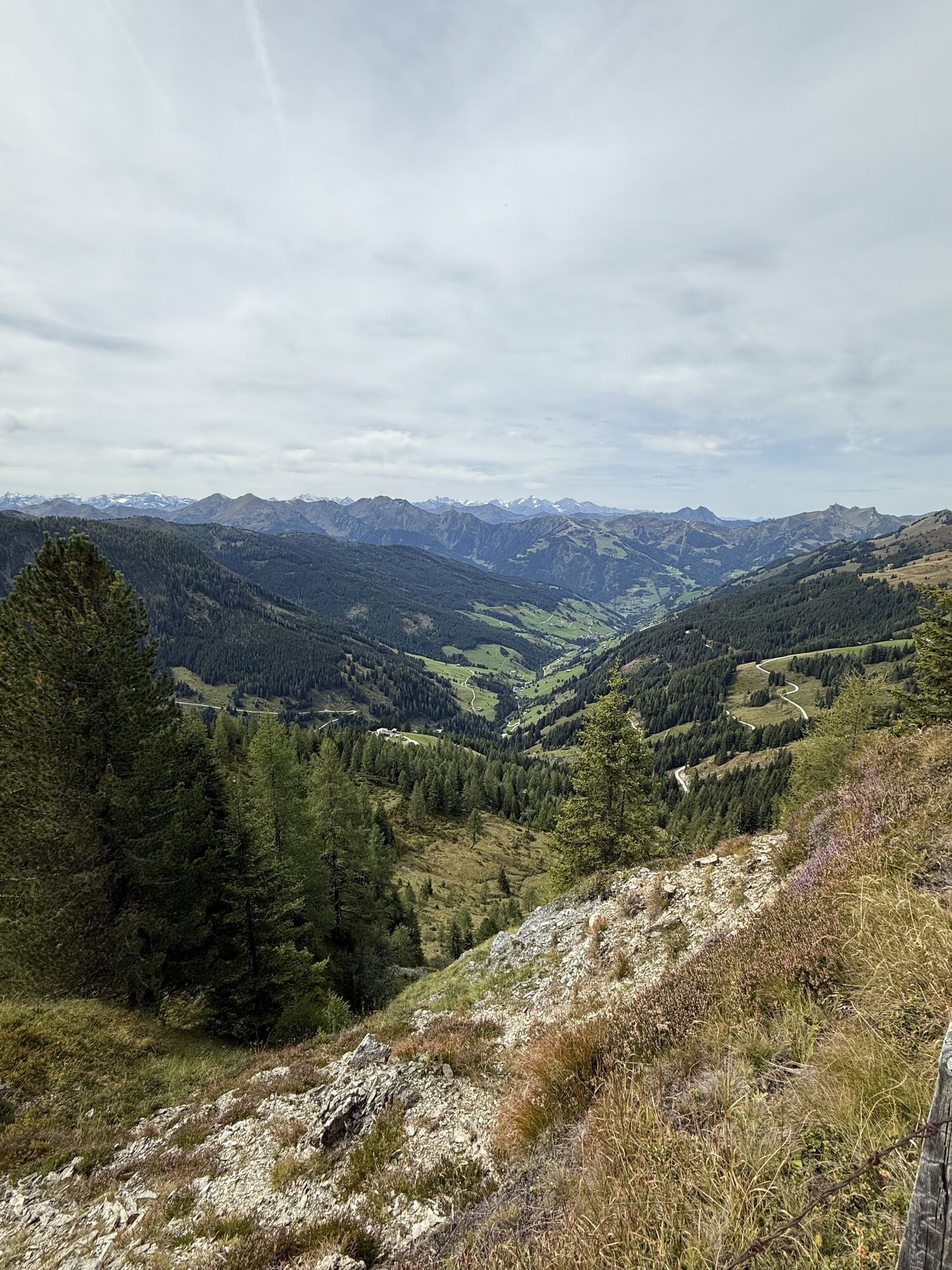
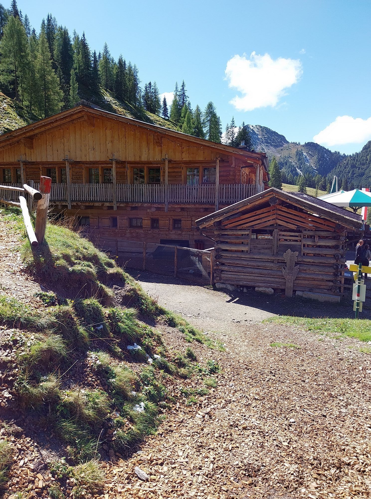
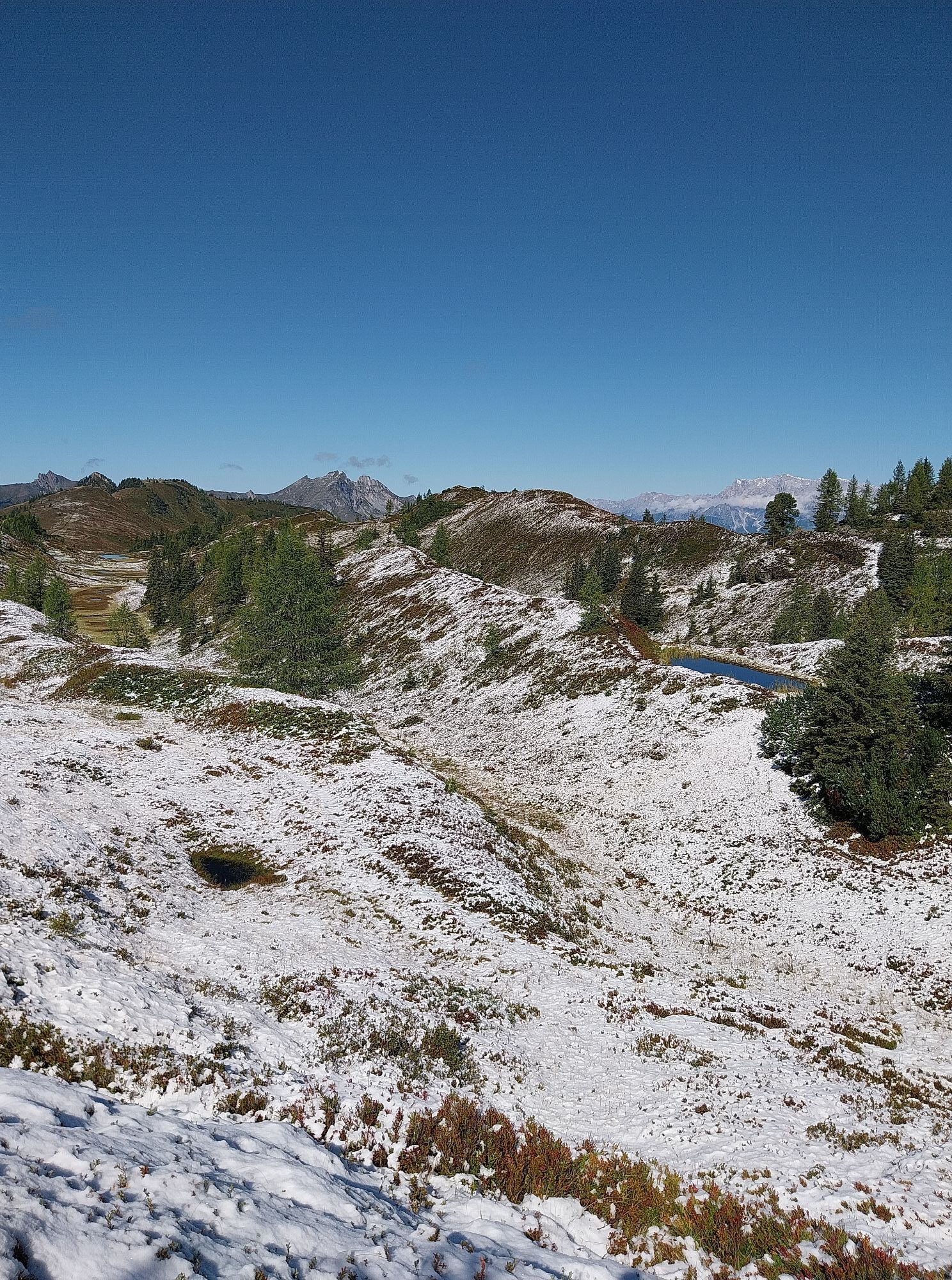
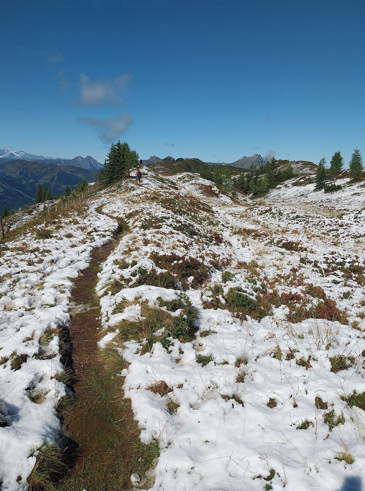
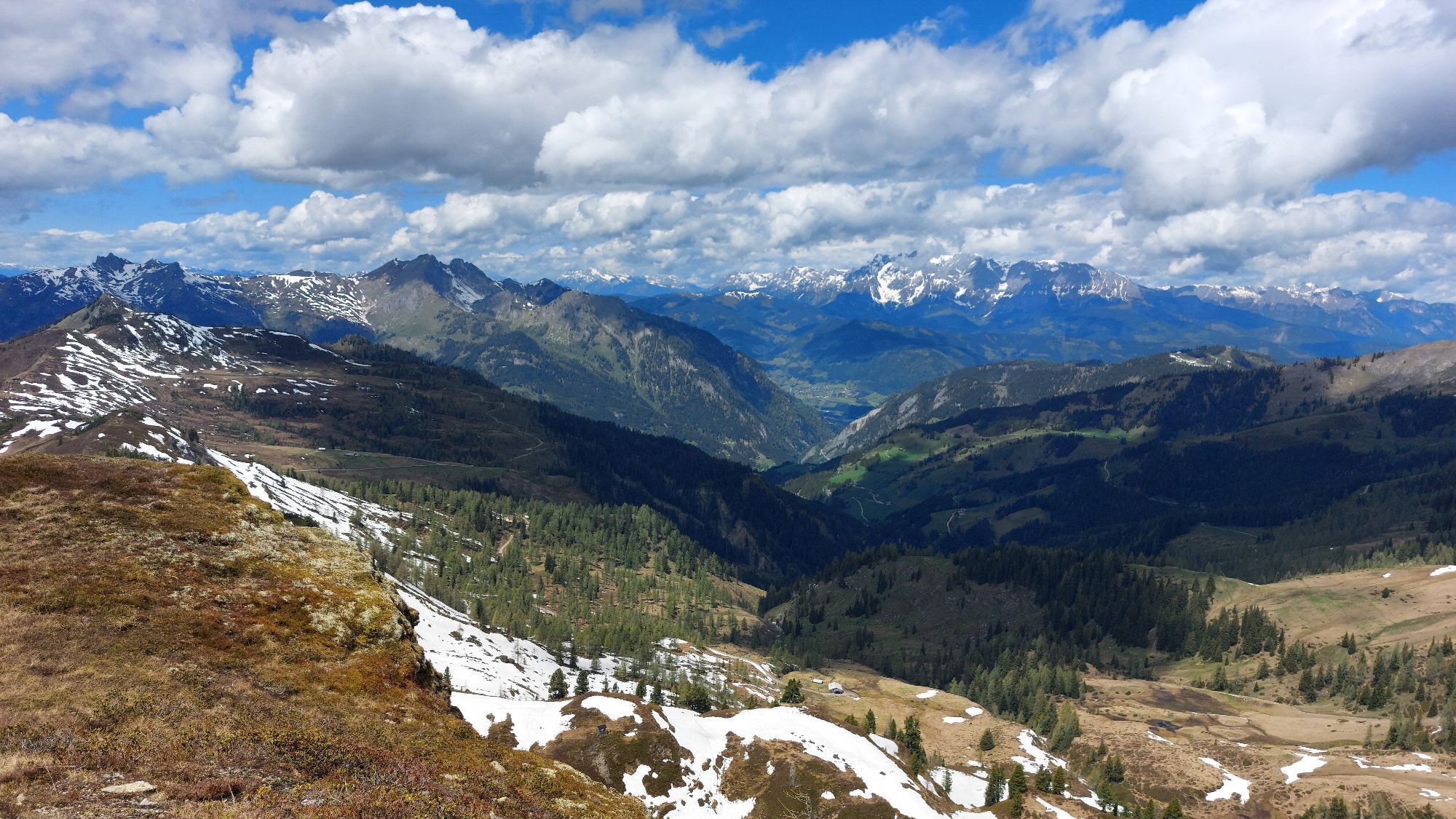
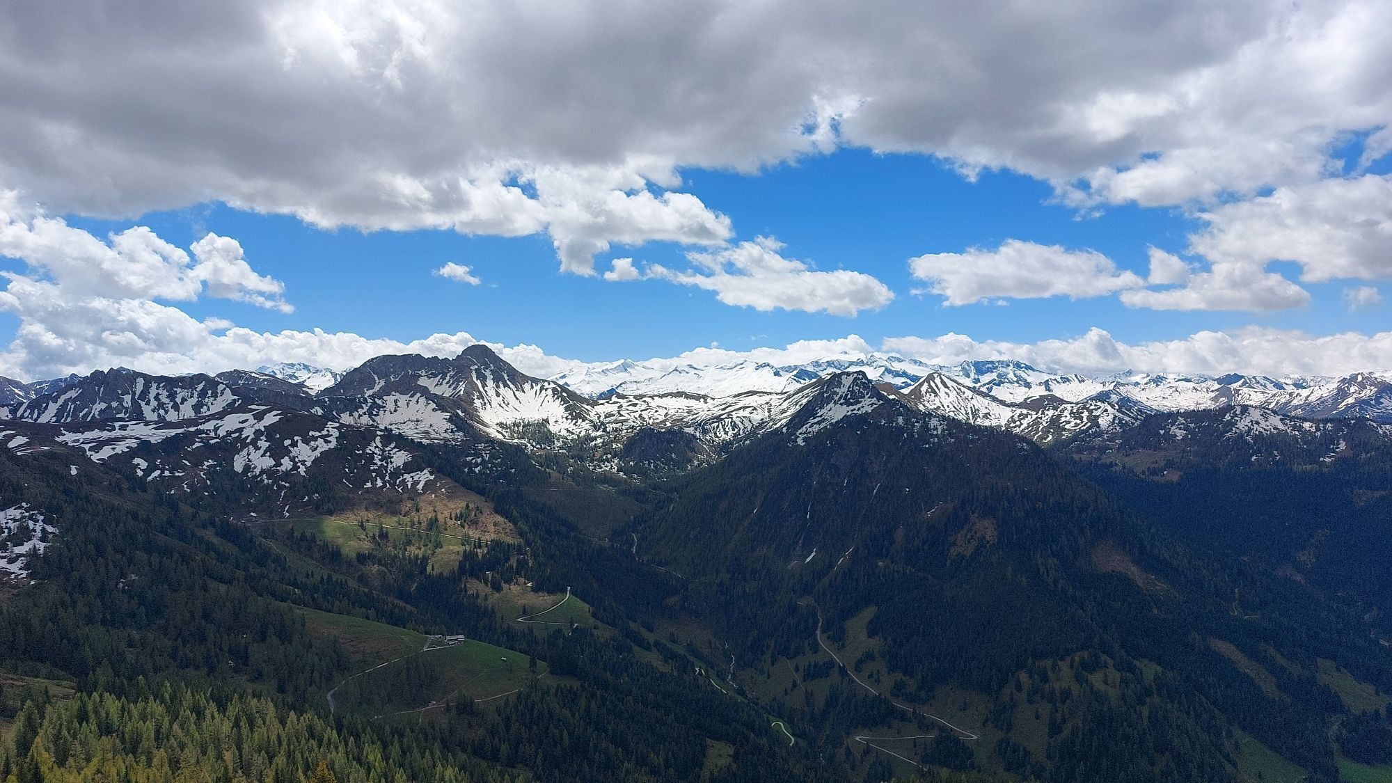
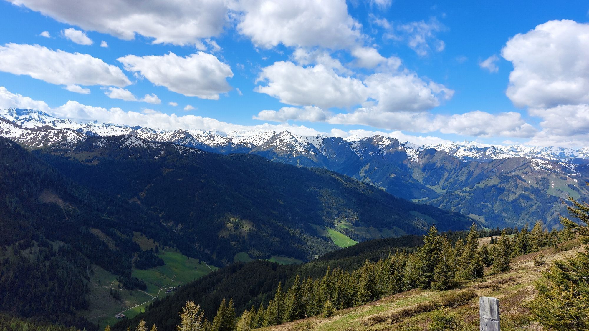
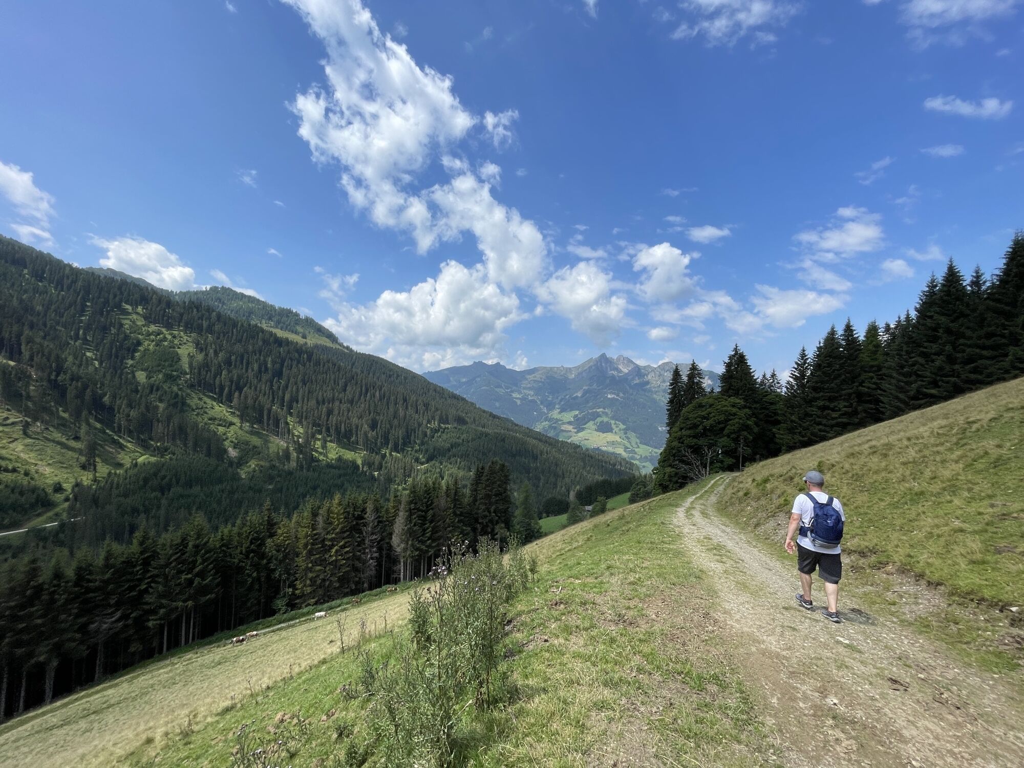
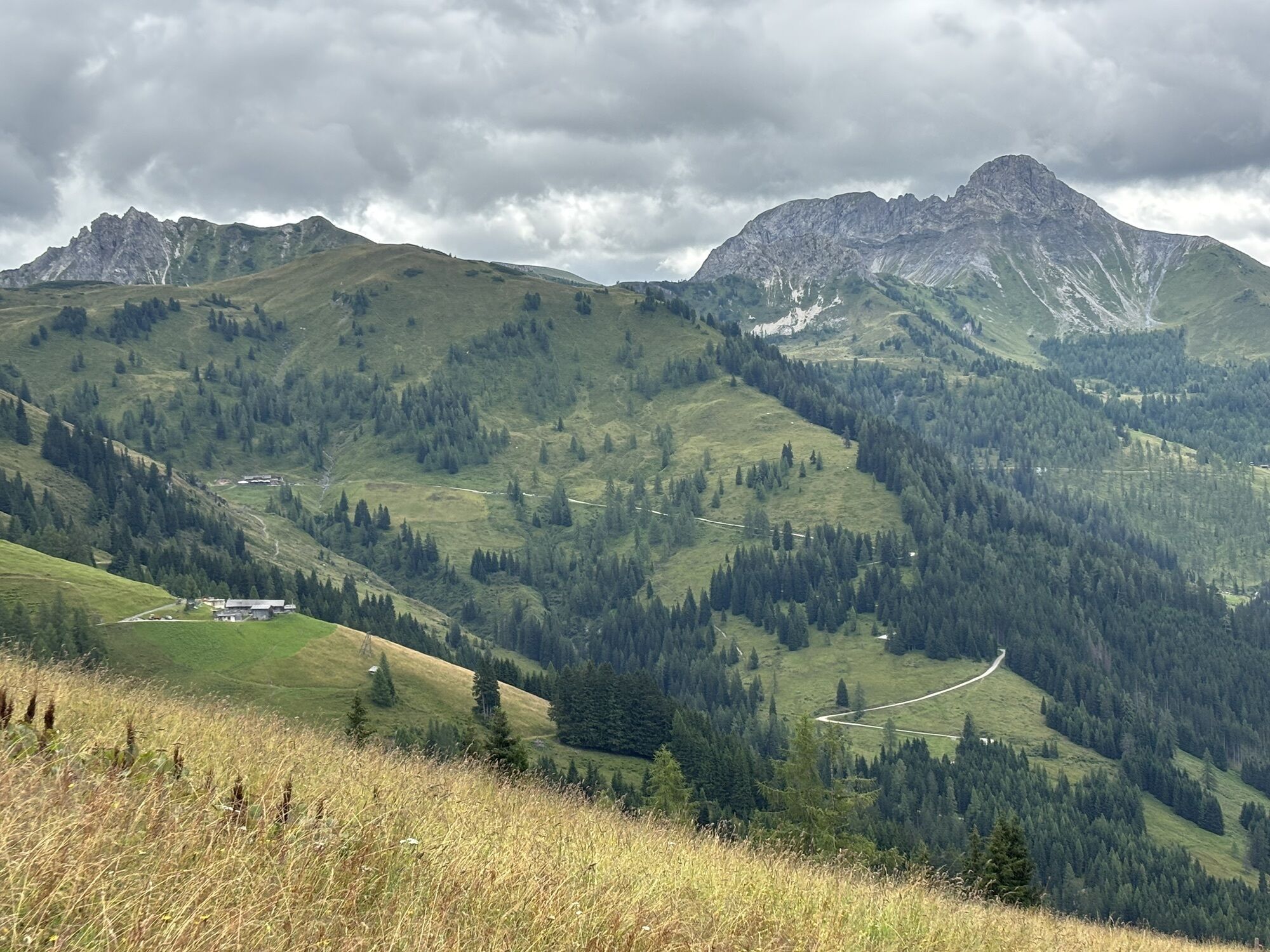
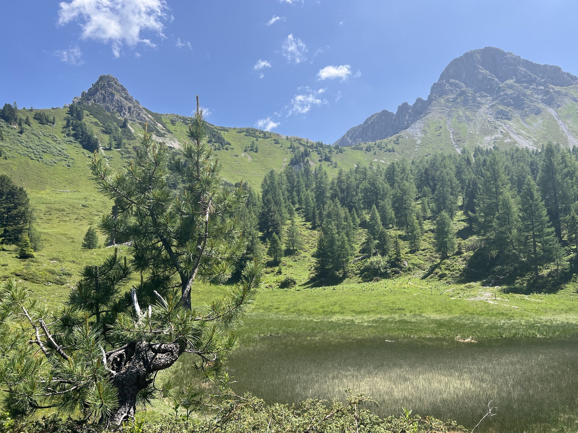
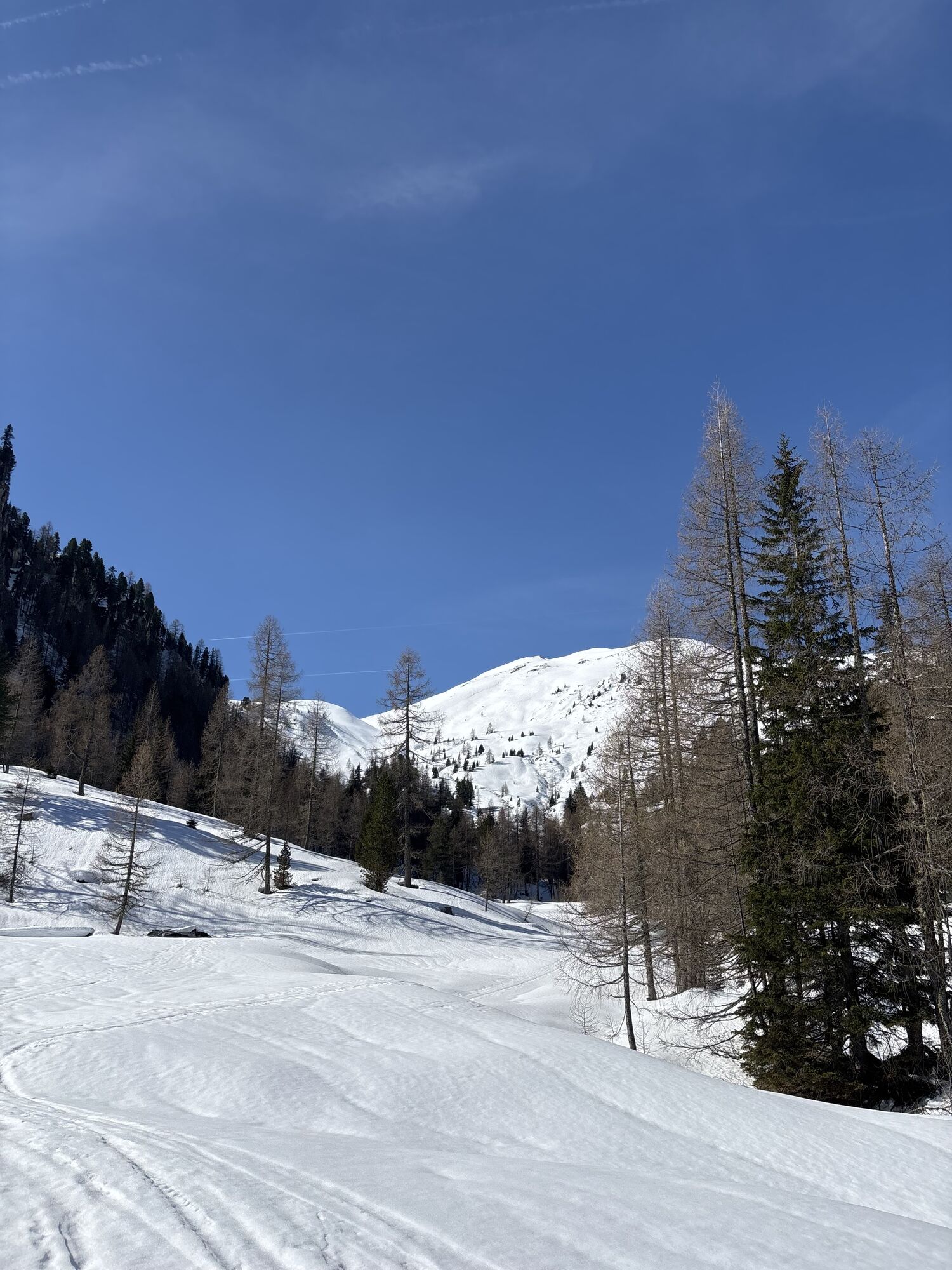
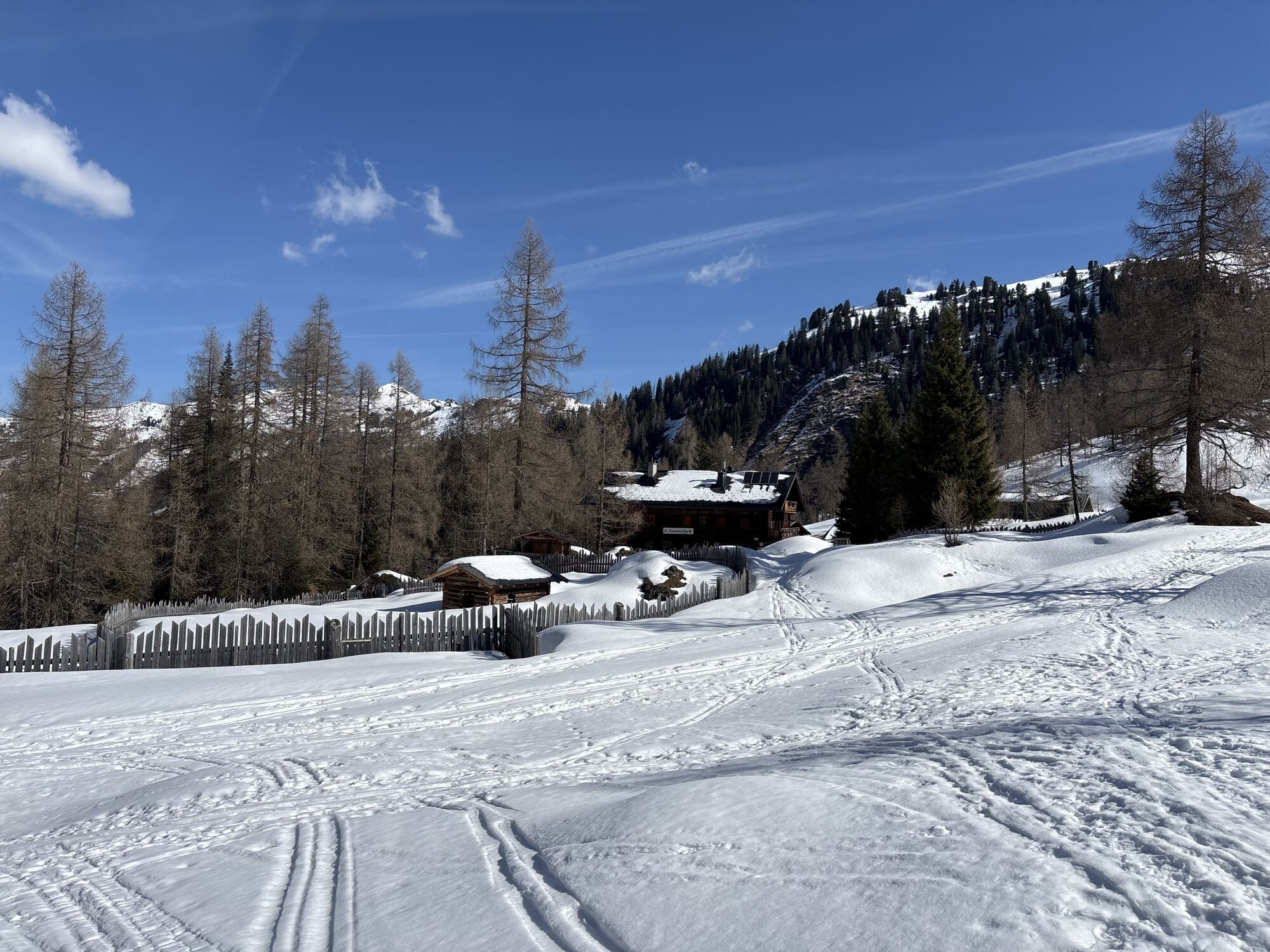
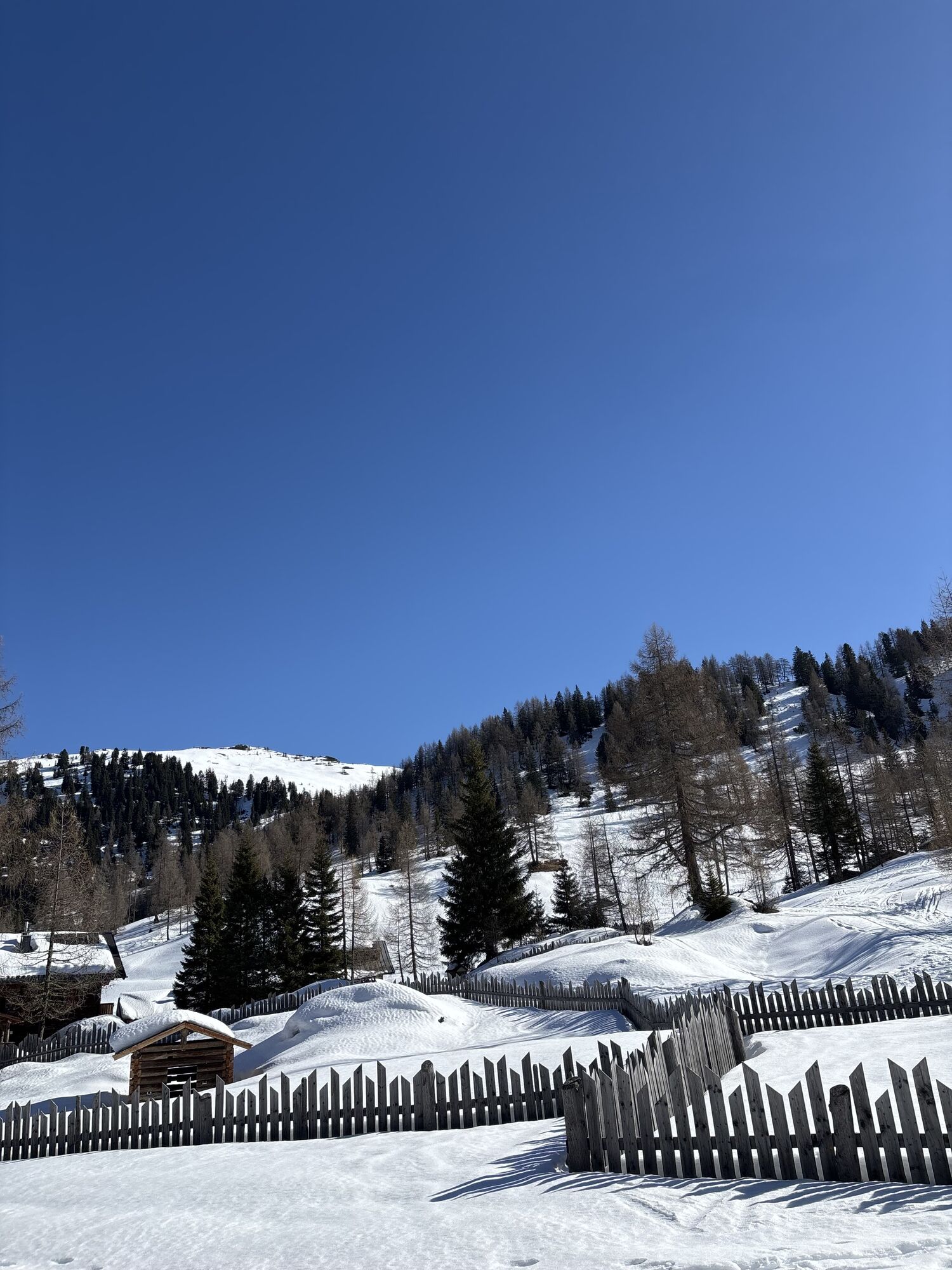
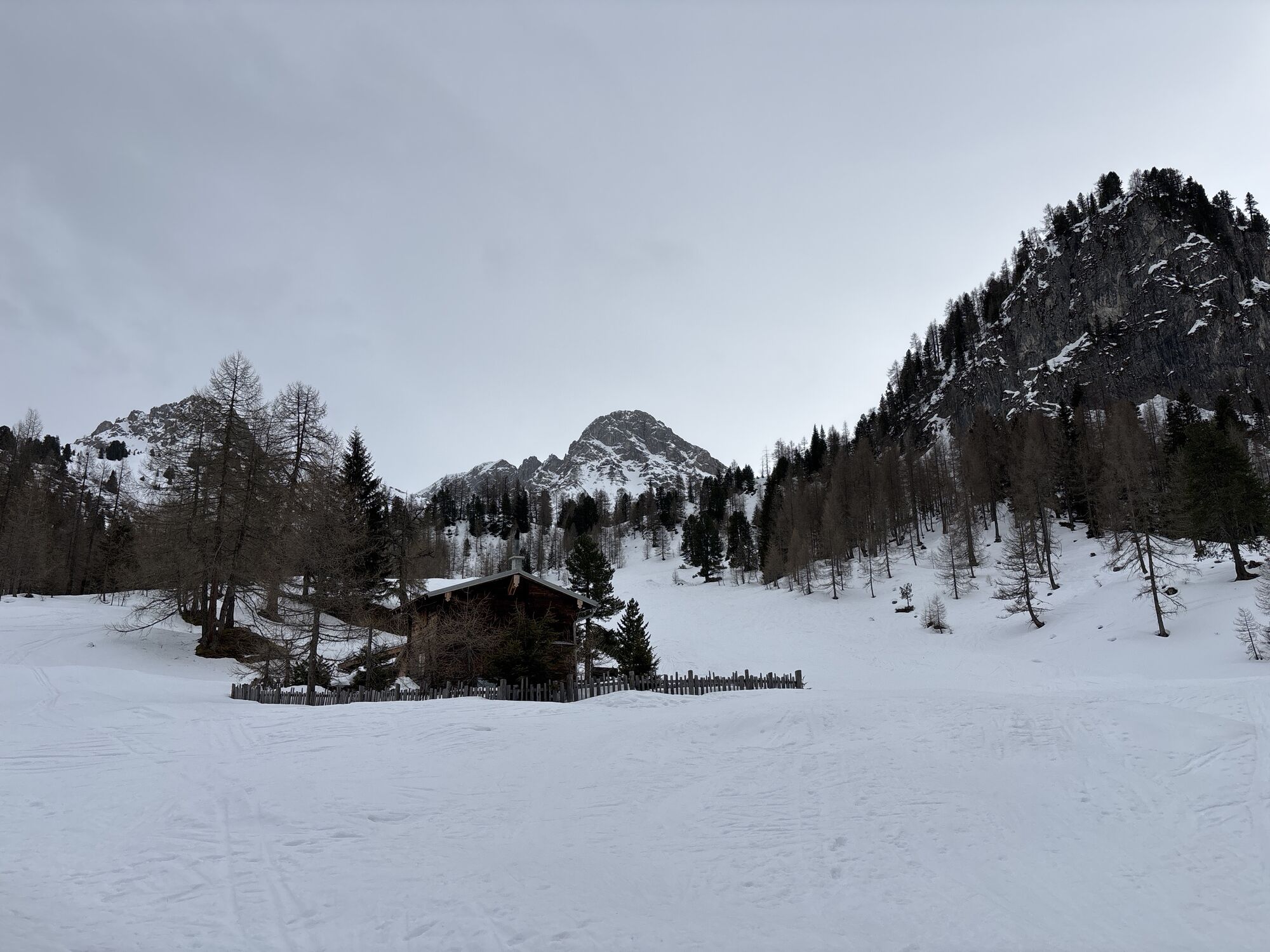
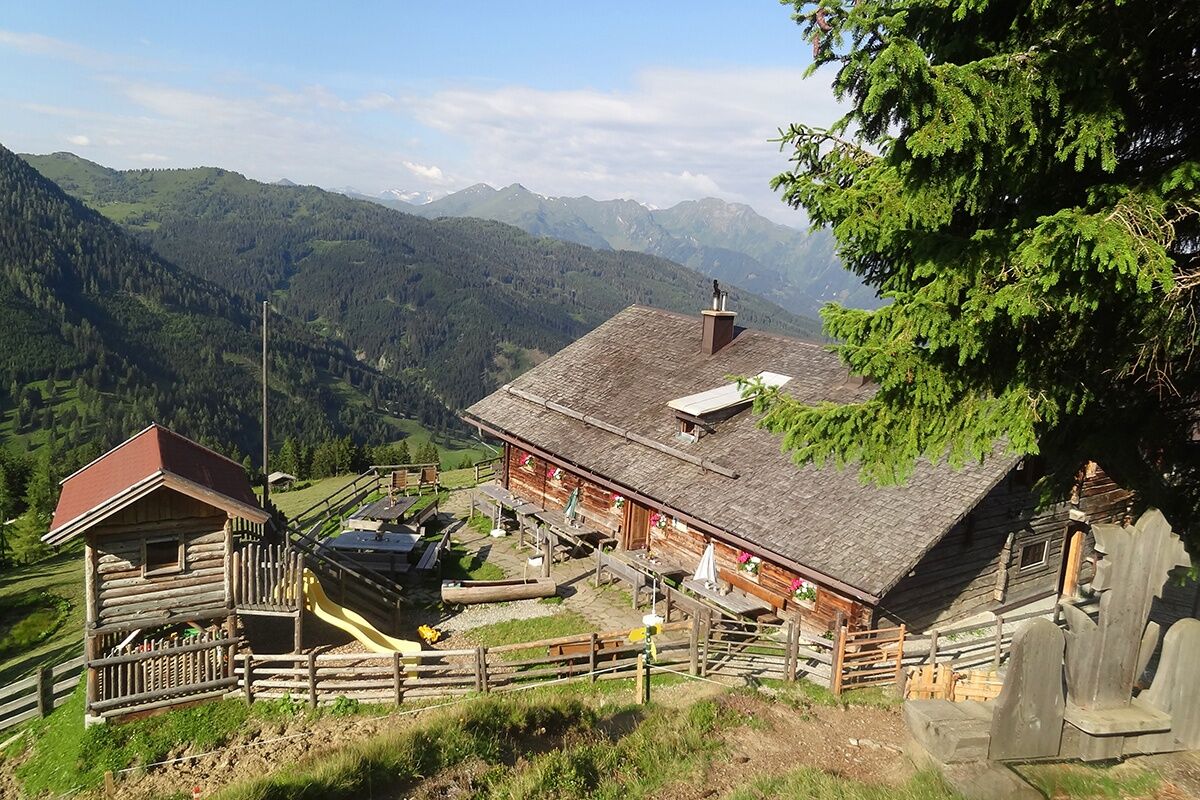
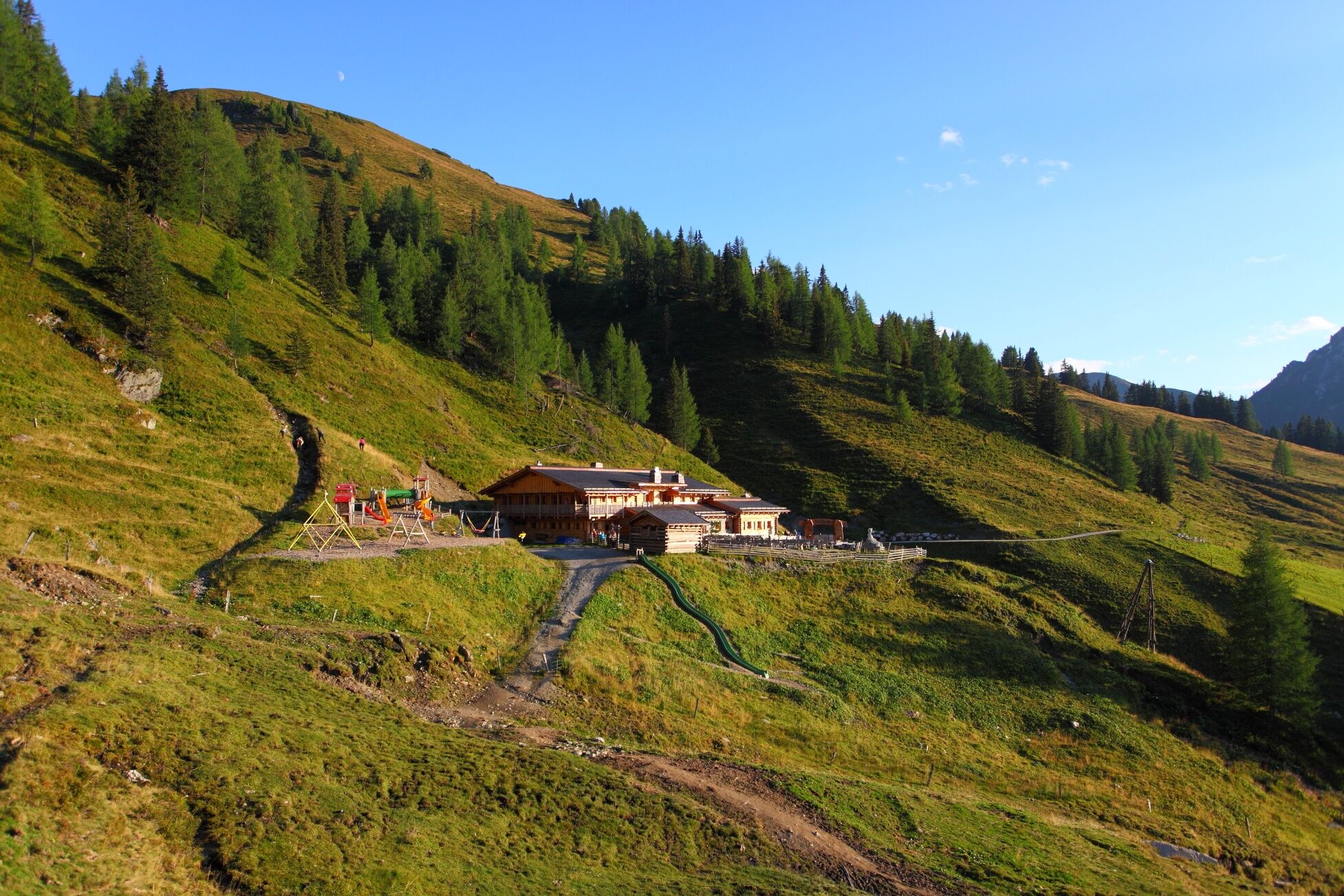
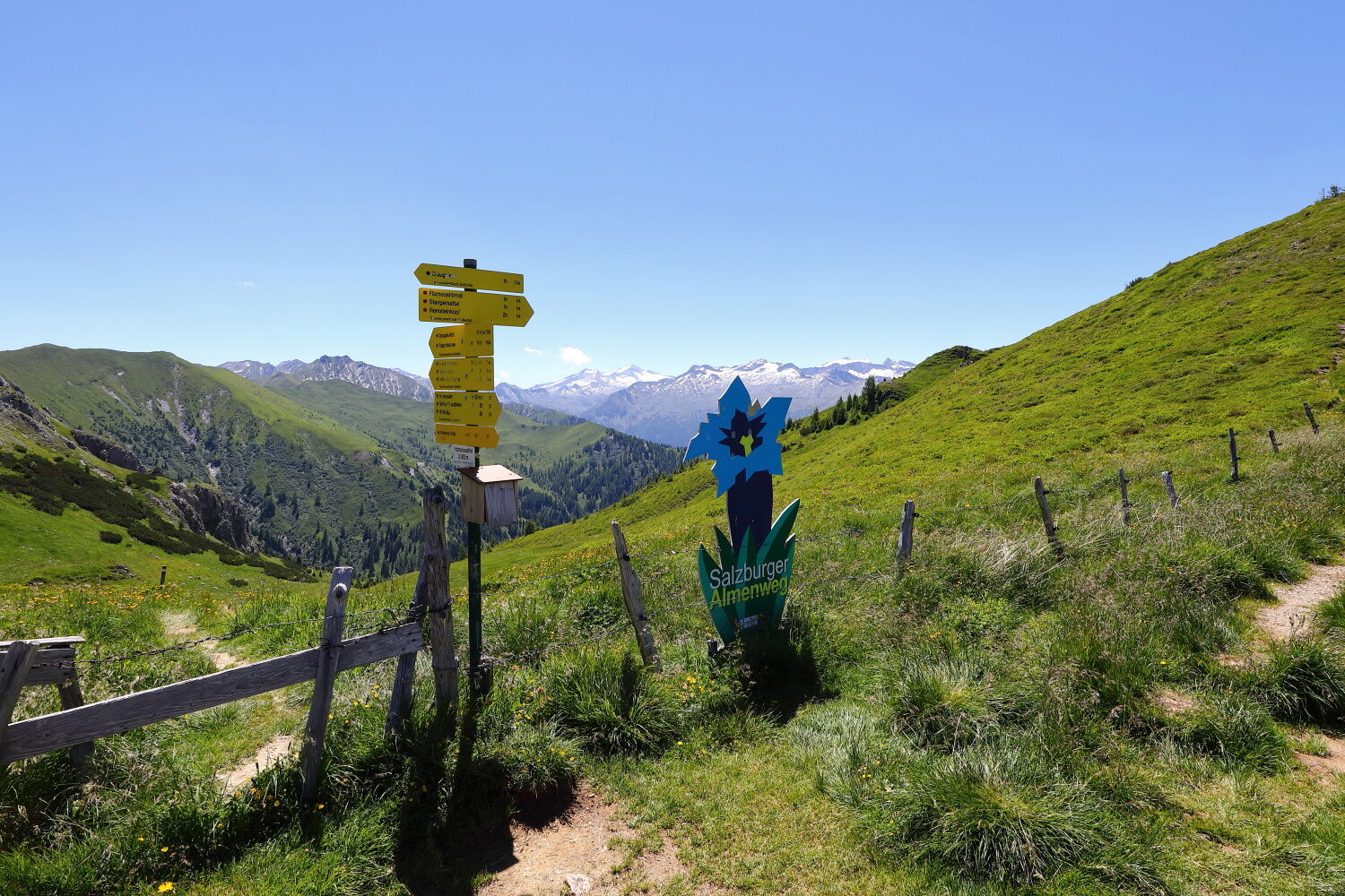
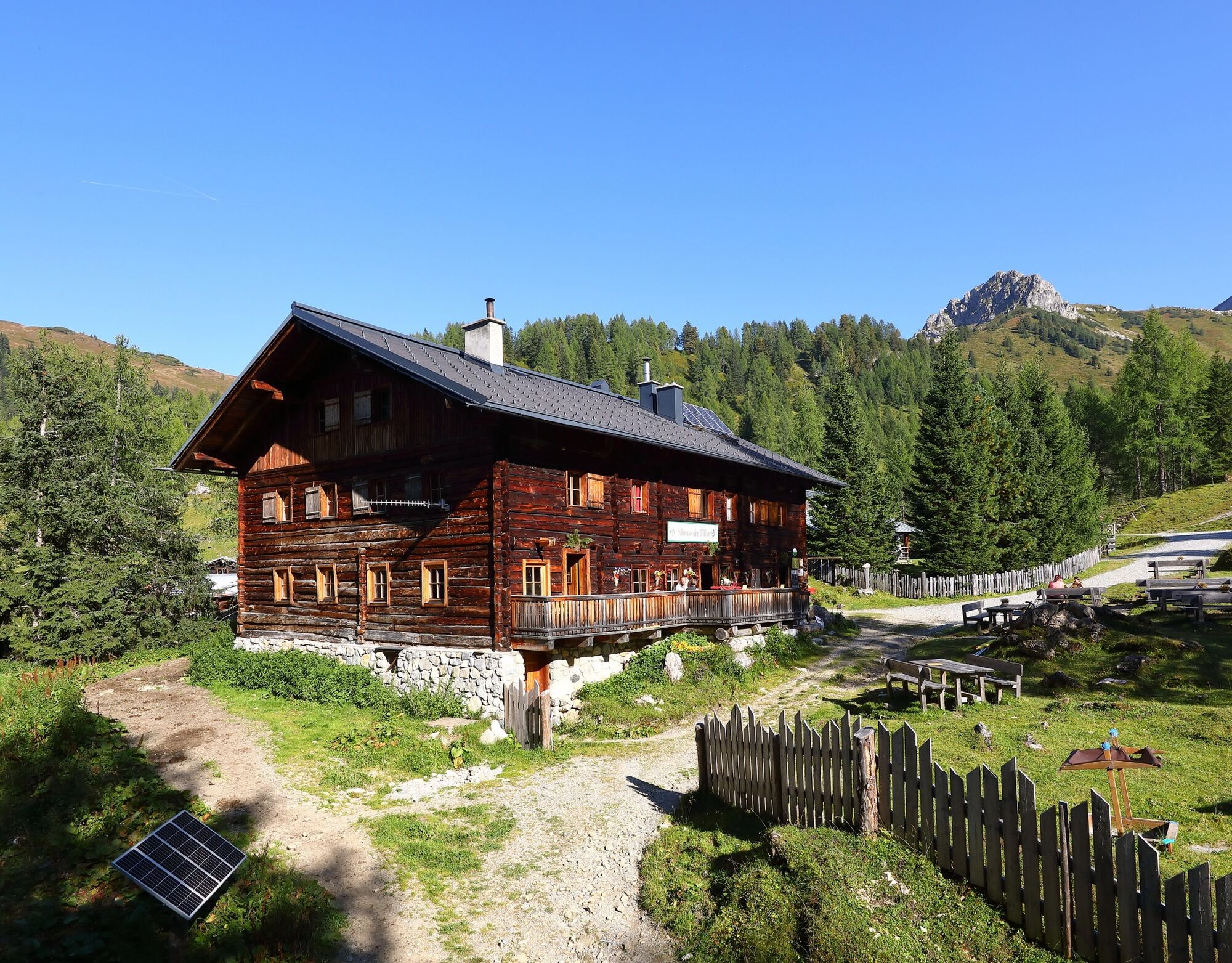
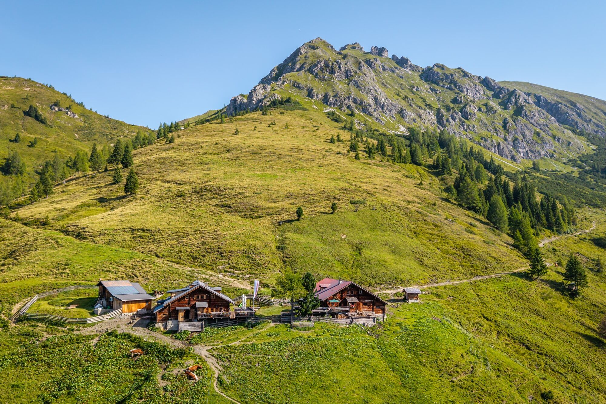
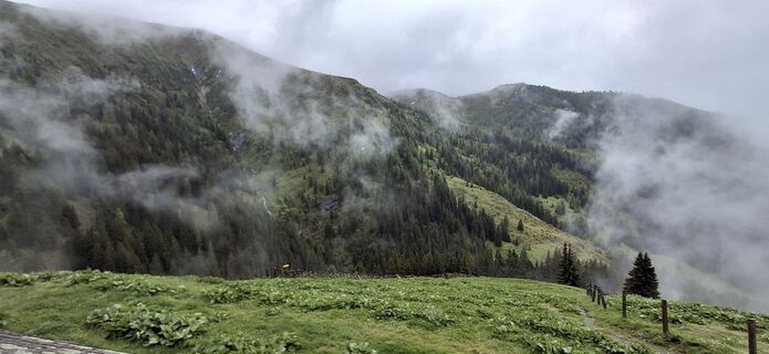
After a hearty Alpine breakfast, you will continue on to the Gründegg, a true summit experience on this tour. The high-altitude hiking trail offers magnificent mountain panoramas. You can either stay on the high-altitude trail or descend to the Loosbühelalm, where you can fortify yourself with warm meals. The route then continues to the Filzmoosalm, where you can also stop for a traditional, tasty alpine snack. The trail continues uphill, past the Swiss stone pines so typical of the rear Ellmautal, to the Filzmoossattel. Right at the saddle is a particularly beautifully designed gentian, the symbol of the Salzburg Alpine Trail, which also includes the section to the Filzmoosalm. Looking back, you can see the majestic Draugstein towering above the Ellmautal. The descent continues to the Draugsteinalmen. There are two huts where you can stop for refreshments and overnight accommodation: the hut on the left is the Schrambachhütte and the one on the right is the Steinmannhütte.
Day 3:
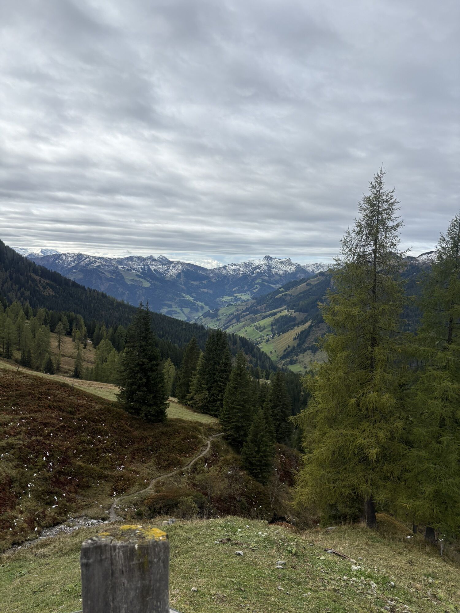
After a hearty breakfast, the trail leads downhill to the Hallmoosalm (not open to the public). From here, you can take the hiking taxi back to Grossarl or continue hiking down into the valley to the district of Karteis, where you can take the postbus no. 540 back.
Day 2: Ascent on trail no. 62 and then no. 64 to Gründegg, 2,168 m (approx. 1 hour). Once you reach the ridge, continue to follow trail no. 64 before descending via trail no. 60A to Loosbühelalm, 1,769 m (approx. 1 1/4 hours). Follow trail no. 63 at a leisurely pace to Filzmoosalm, 1,710 m (approx. 3/4 hour) before ascending trail no. 57,720 to Filzmoossattel, 2,026 m (approx. 1 1/4 hours). Descend on trail no. 54A and no. 54 to the Draugsteinalmen, 1,778 m (approx. 1 hour) – overnight stay at the Steinmannhütte or Schrambachhütte. Total walking time: approx. 5 1/4 hours
Day 3: Descent on trail no. 54 to the parking area Hallmoosalm 1,300 m (approx. 1 1/4 hours). From there, take the hiking taxi back to Großarl. Total walking time: approx. 1 1/4 hoursAlternatively, you can continue descending on trail no. 24, 25B and walk to the district of Karteis. From there, take the postbus no. 540 back.
Note: The walking times are based on an average hiker. There is a lot for children to discover along the way, so allow for a little extra time here.
Oui
Oui
Hiking boots with profiled sole, some fruit, drinks (refillable bottles), wind and rain protection, toiletries, warm clothes and clothes for changing, flashlight, mini first aid kit, hiking map, sunscreen, chocolate or muesli bars, …
Take the car or postbus no. 540 to the centre of Großarl – parking is available at the Viehhauser petrol station in Großarl. Continue by hiking taxi to the Sonneggbrücke or the parking area Breiteneben barrier.
Viehhauser petrol station, Sonneggbrücke or parking area Breiteneben barrier
T2
Webcams de la tournée

Parcours populaires à proximité
-
4,9
Großarl : Aualm - Liechtensteinkopf - Aukopf - Schuhflicker - Schuhflickersee
moyenRandonnée 5,84 km -
5,0
Großarl : Circuit des alpages dans la vallée d'Ellmautal
moyenRandonnée 9,69 km -
4,1
Tappenkarsee Kleinarl
moyenRandonnée 9,11 km -
4,7
Großarl : Mooslehenalm – Niggeltalalm – Viehhausalm
moyenRandonnée 5,44 km -
5,0
Hüttschlag : Karteistörl - Tappenkarsee - Draugsteintörl - Draugsteinalmen
moyenRandonnée 13,5 km -
4,8
Höhenweg vom Grünen Baum bis Bad Hofgastein
facileRandonnée 7,92 km -
4,8
Liechtensteinklamm mit Helix
facileChemin thématique 3 km -
4,6
Großarl : Saukaralm - Saukarkopf - Gerstreitalm
moyenRandonnée 9,39 km -
4,6
Bahnhof Bad Hofgastein nach Bahnhof Bad Gastein
moyenRandonnée 13,0 km -
4,9
Großarl : Bichlalm
moyenVTT 18,9 km
Randonnée et suivi


Ne manquez pas les offres et l'inspiration pour vos prochaines vacances
Votre adresse électronique a été ajouté à la liste de diffusion.