


Grossarltal: 3-day hike from Ellmaualm to Gerstreitalm
Niveau de difficulté: T2


Day 1:
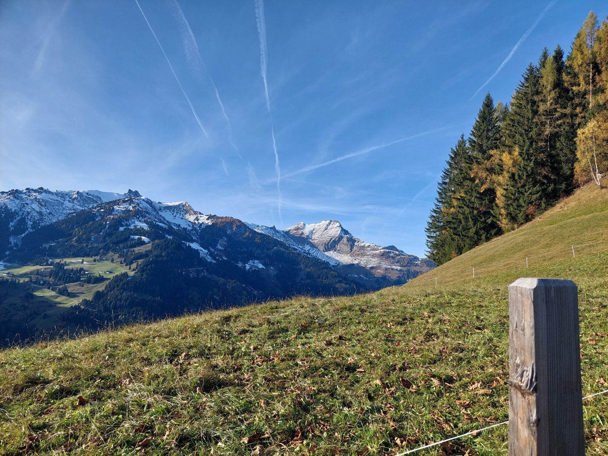
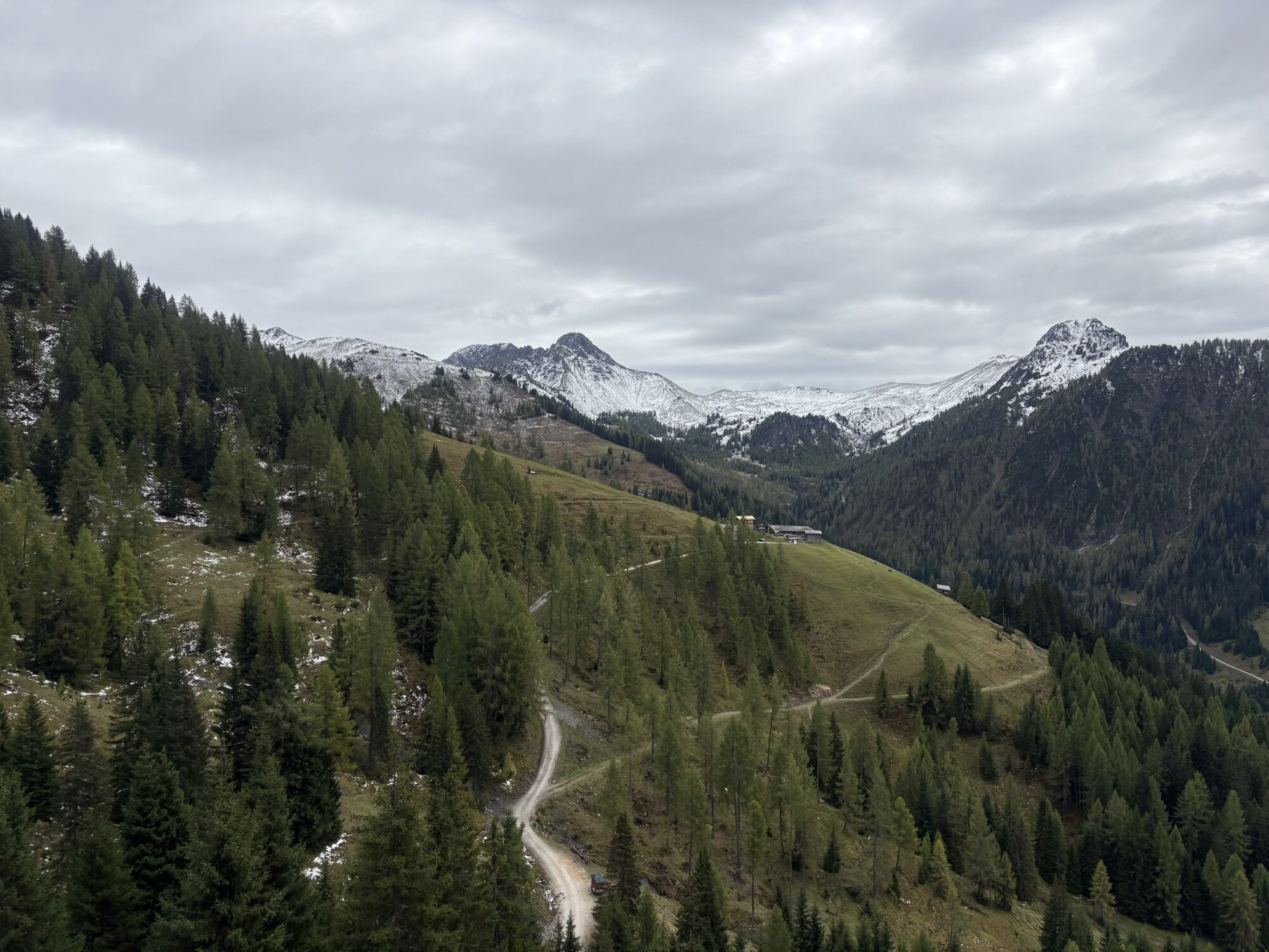
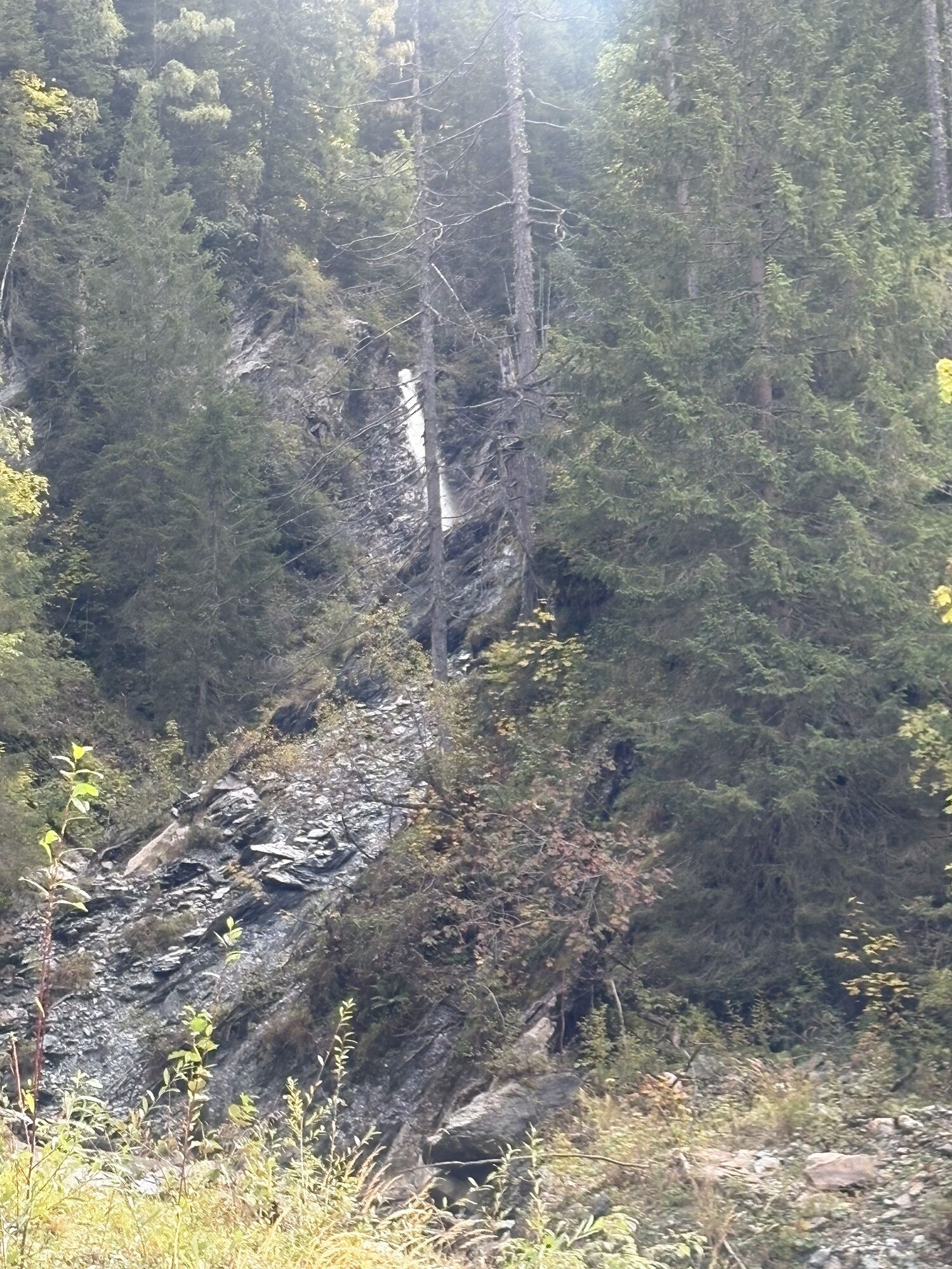
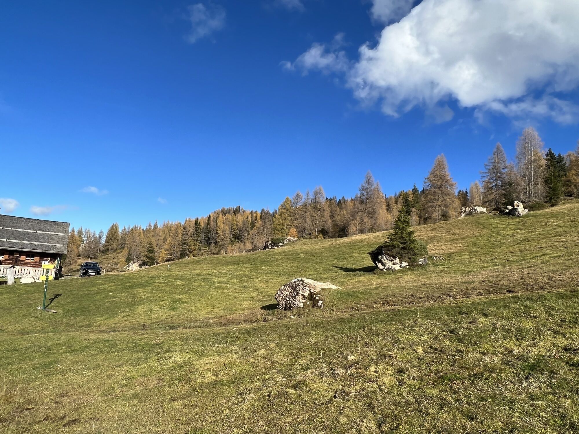
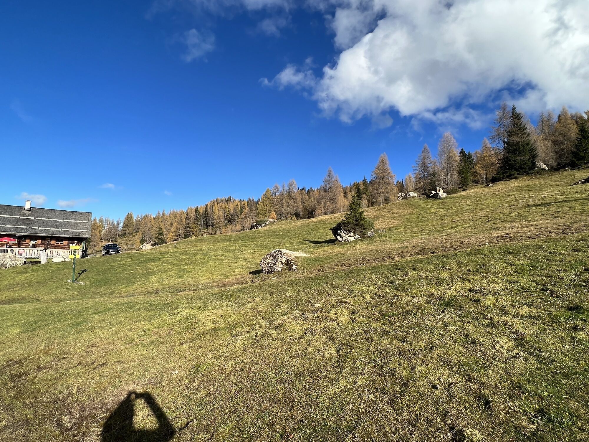
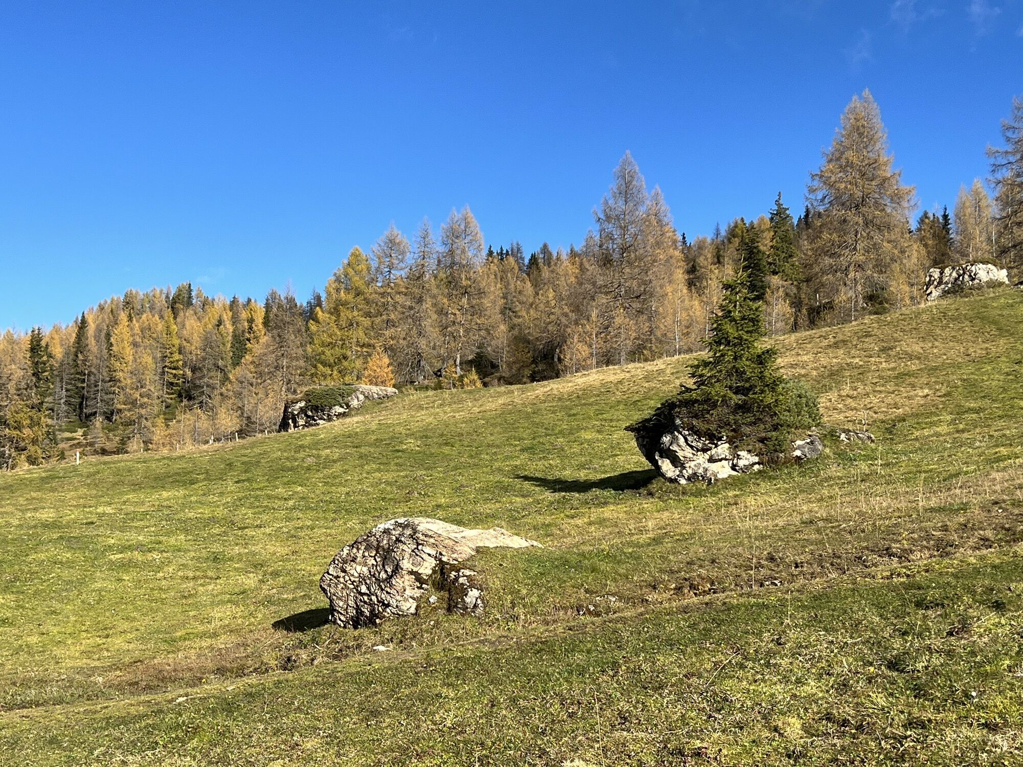
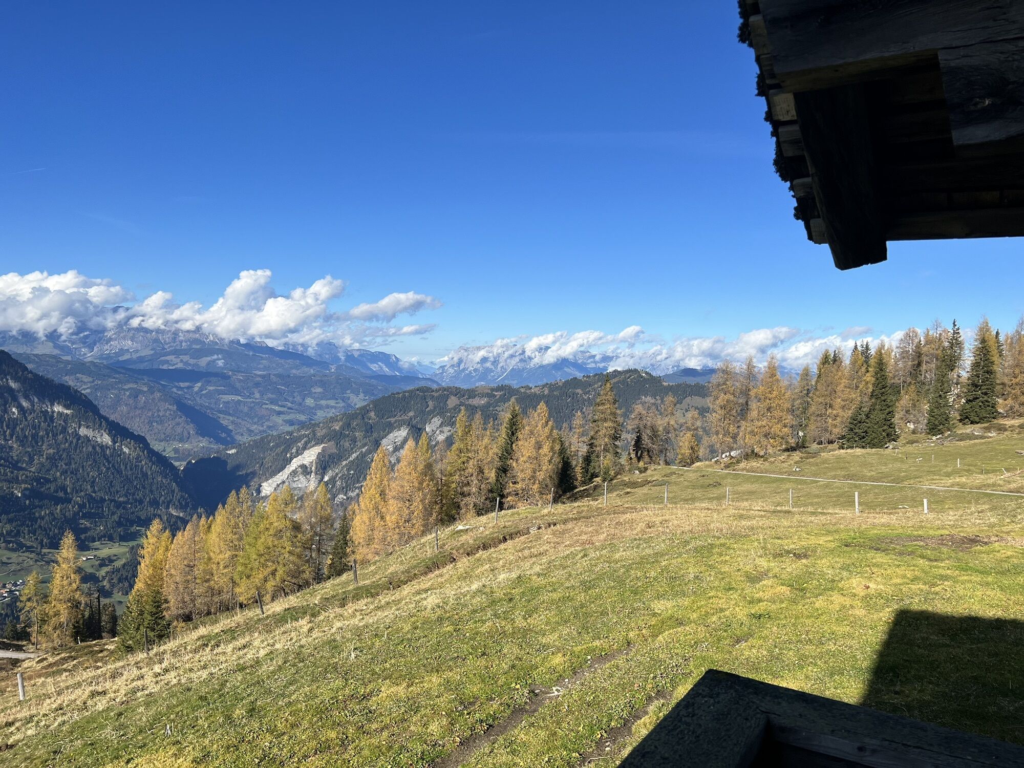
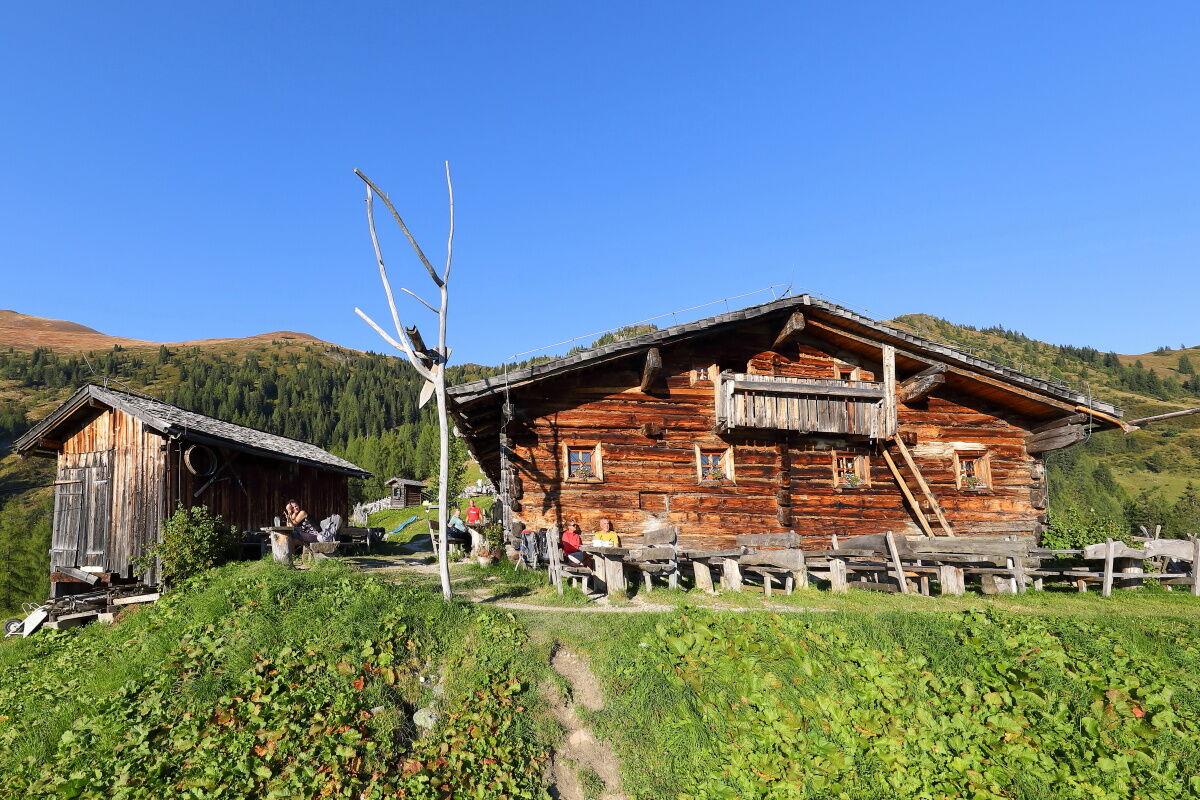
From the parking space Grundlehen in Ellmautal , the trail initially climbs steeply through the forest before opening up and leading you across beautiful alpine meadows to the rustic Weissalm. Here,...
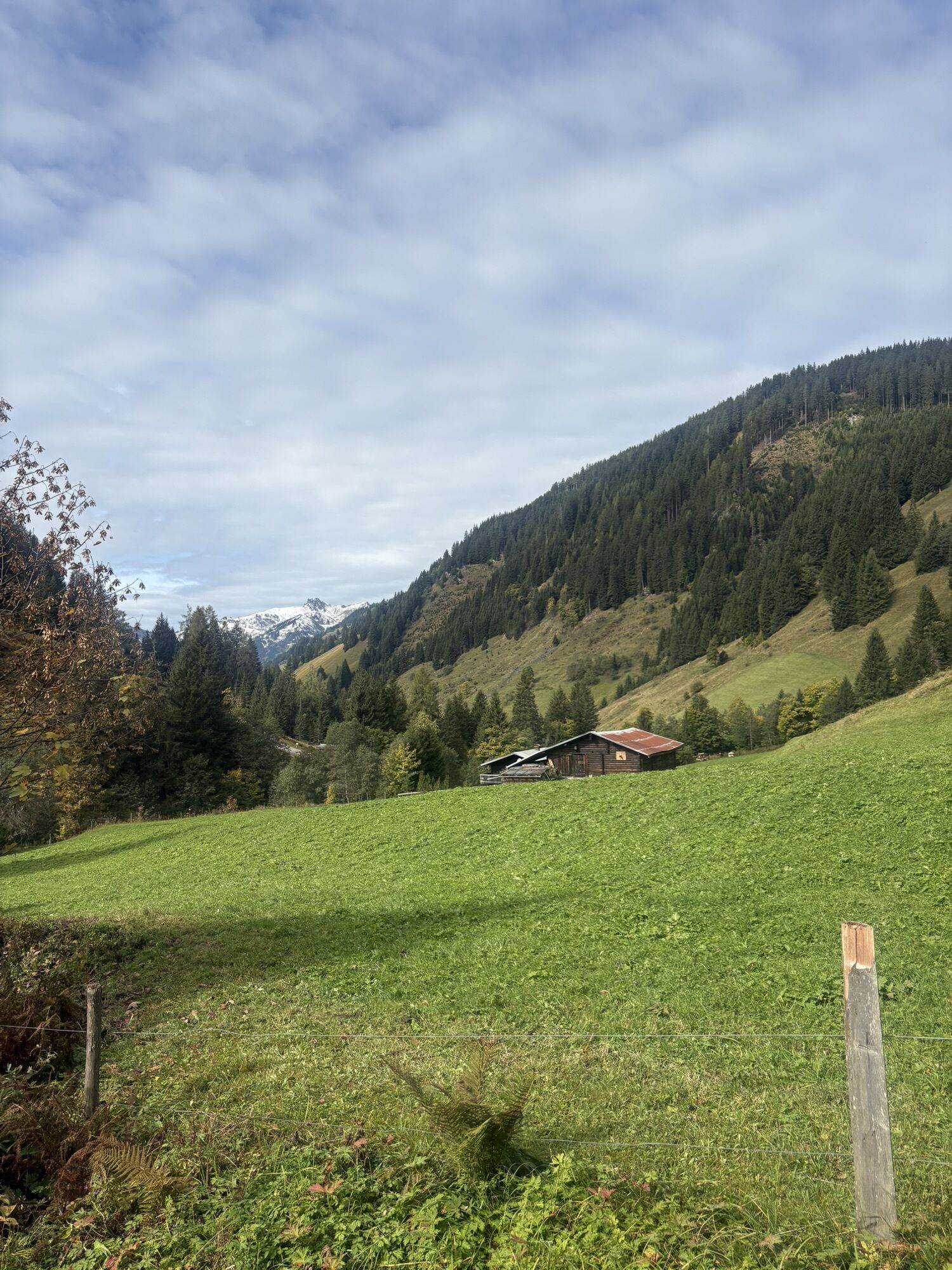
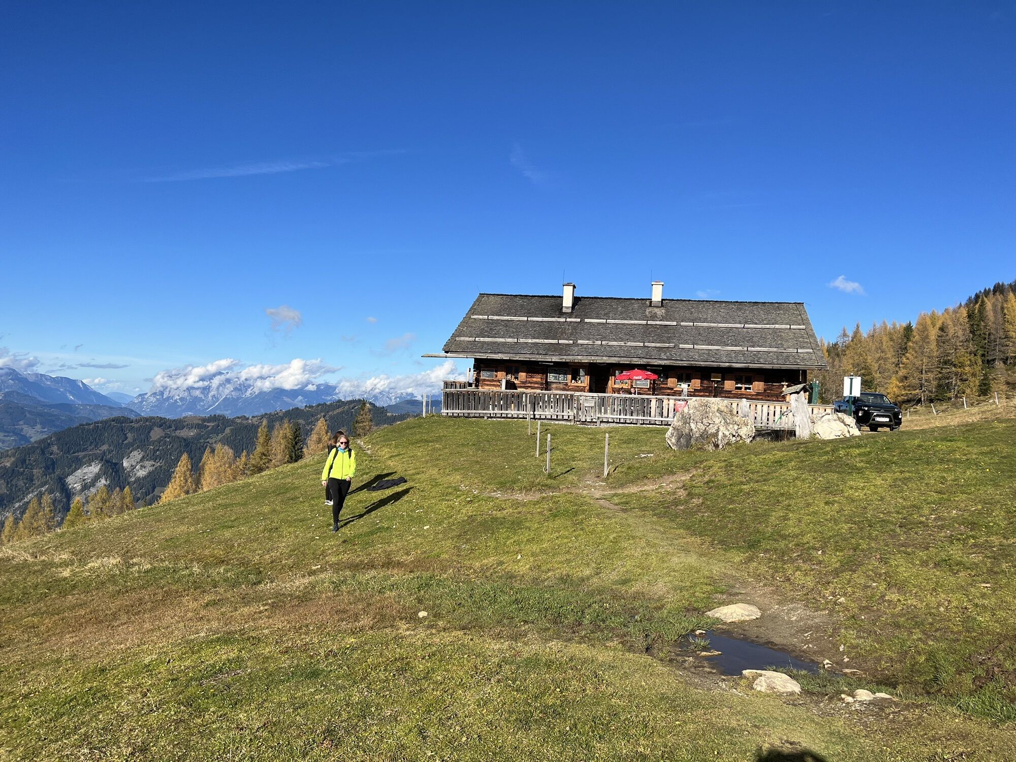
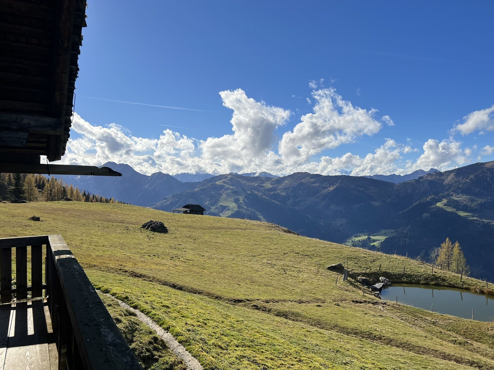
From the parking space Grundlehen in Ellmautal , the trail initially climbs steeply through the forest before opening up and leading you across beautiful alpine meadows to the rustic Weissalm. Here, traditional sour cheese and other homemade specialities are still produced on the open hearth. After a break at the rustic mountain hut, the trail continues to the Ellmaualm, where you can enjoy a unique mountain panorama stretching all the way to the Hochkönig and a delicious alpine snack with homemade products. There is a small playground for children. You will spend the first night here.
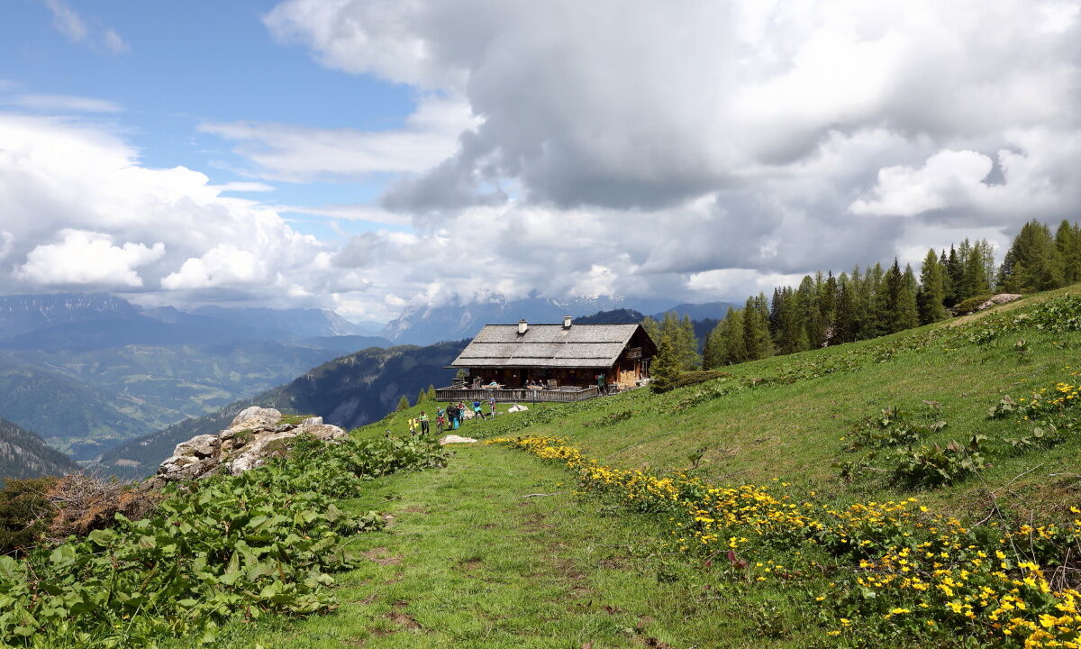
Day 2:
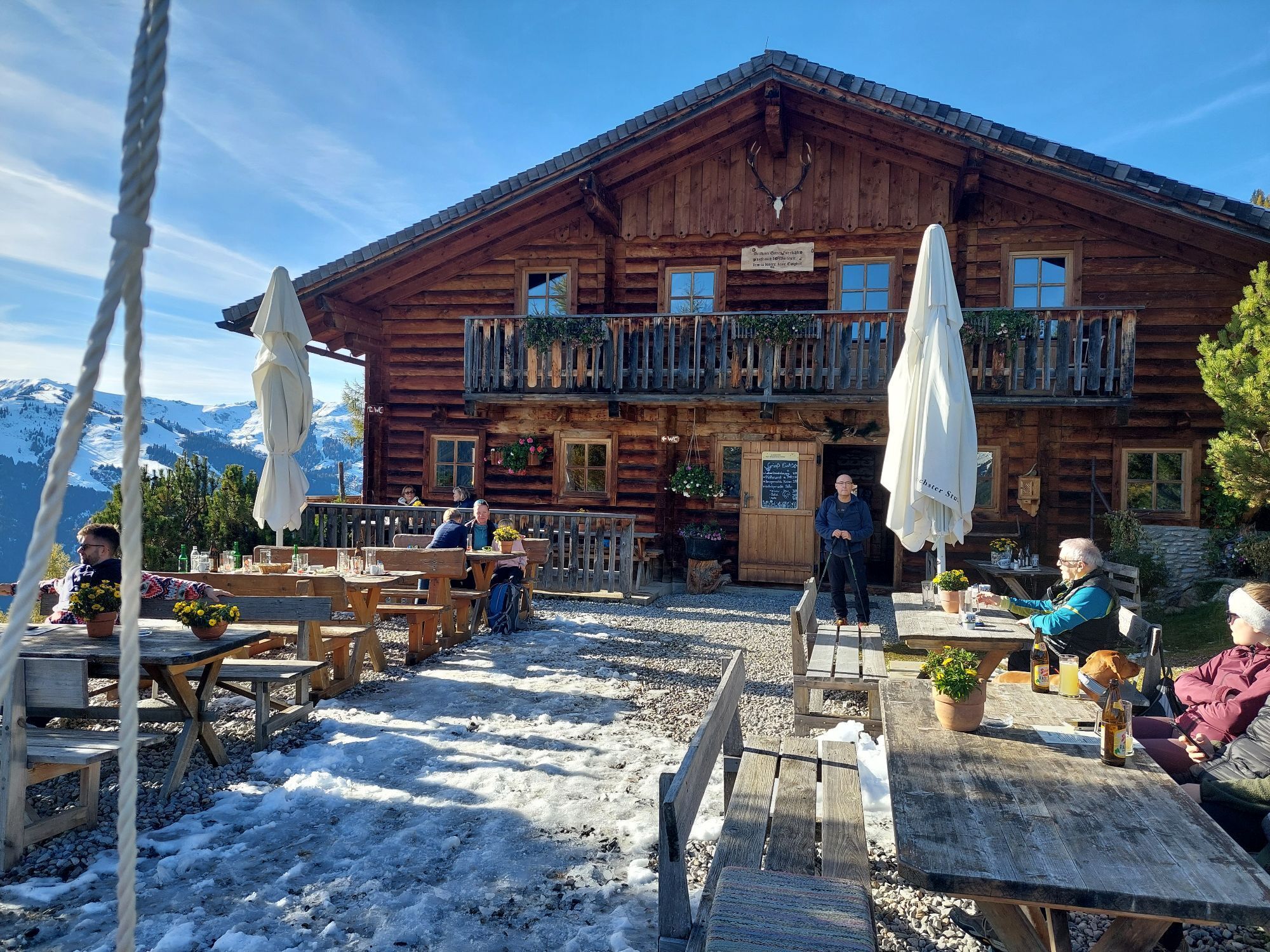
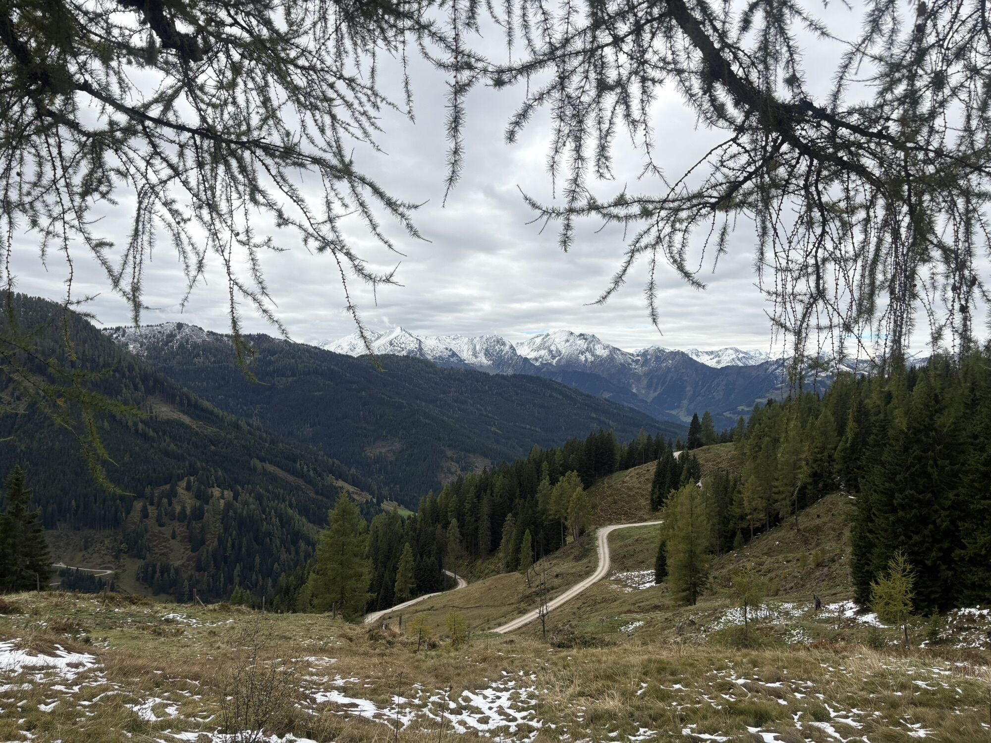
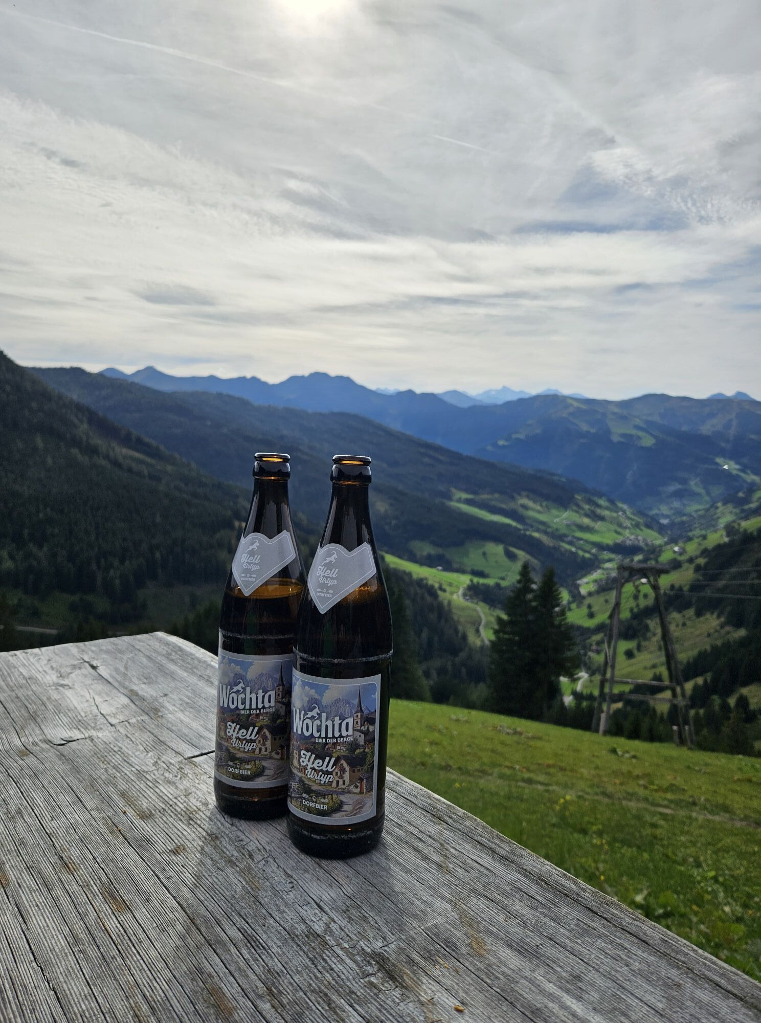
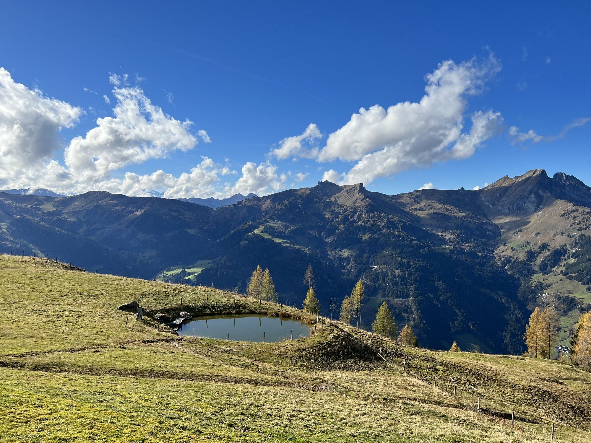
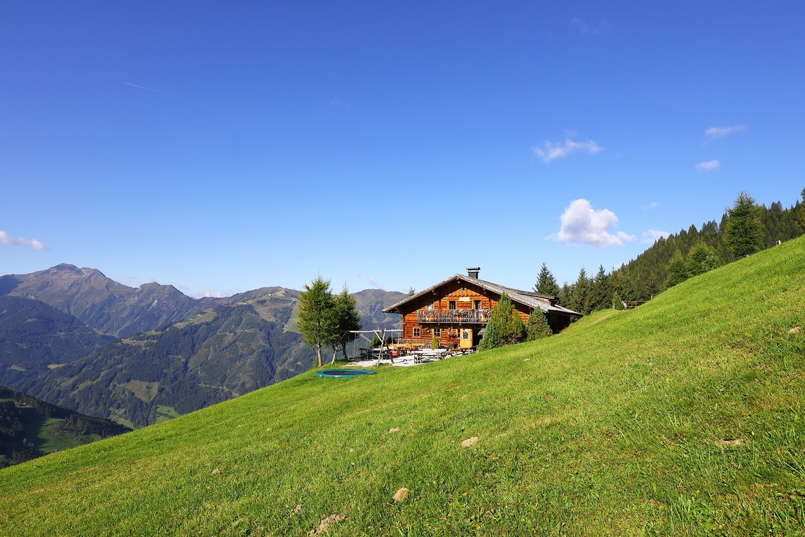
Well rested and fortified by an alpine breakfast, you continue to the Saukaralm, the highest mountain hut in Grossarltal. Here you can enjoy an impressive panorama from the Hohe Tauern mountains to the Hochkönig and the Tennen and Hagen mountains. After refreshments, the trail continues to the second stage destination, the Gerstreitalm. The mountain hut is located on the sunny side of Ellmautaland is a real highlight, especially for families. A large playground will make children's hearts beat faster while you enjoy a hearty snack with farm-fresh products. You will spend the second night of the multi-day tour here.
Day 3:
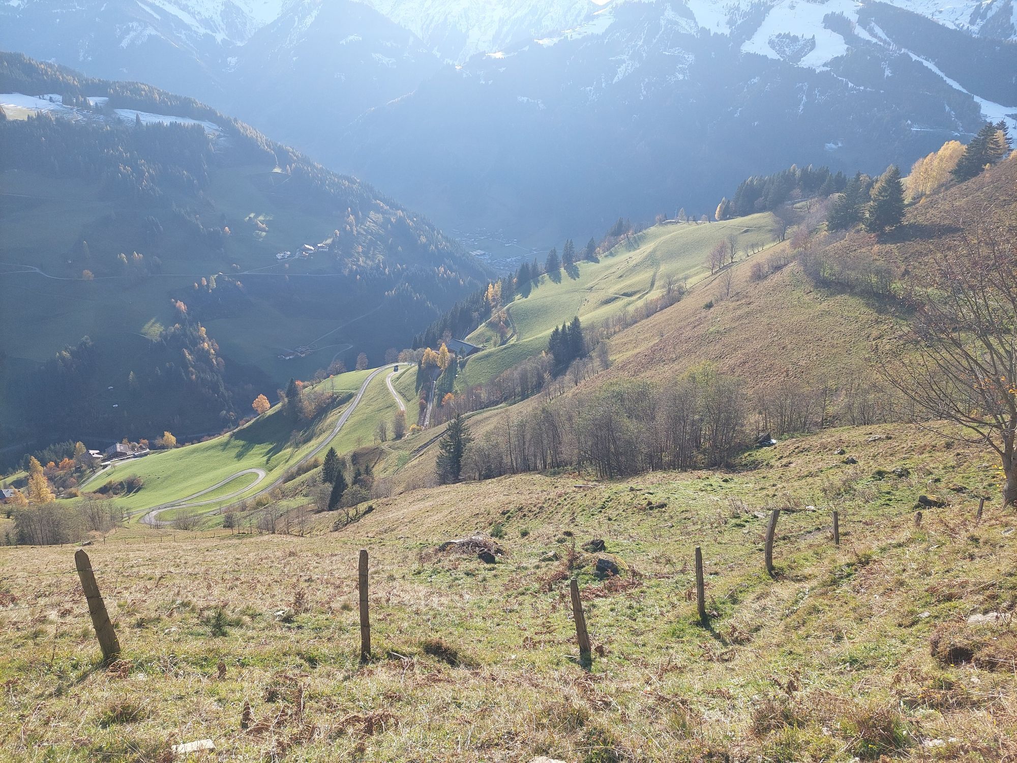
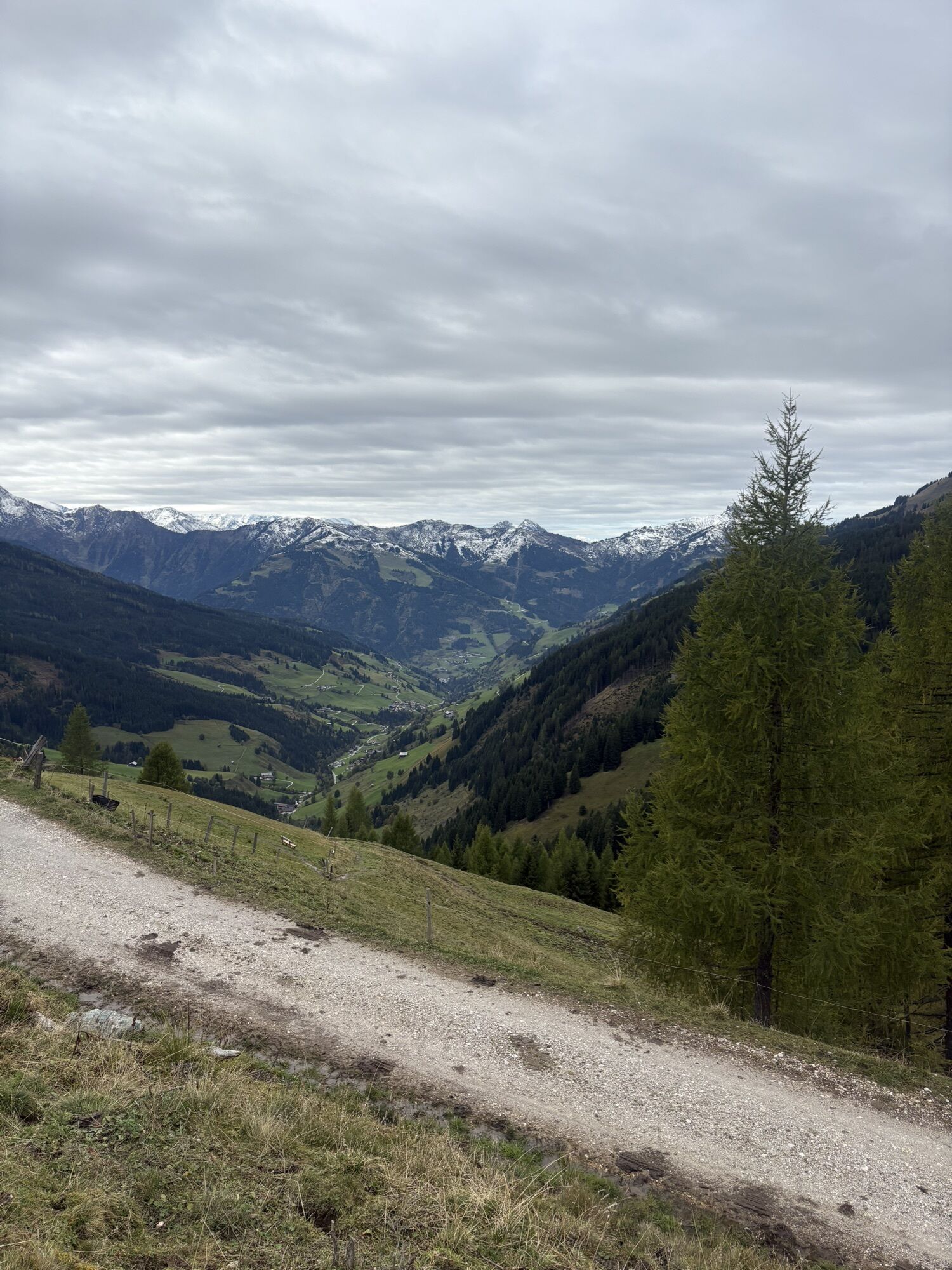
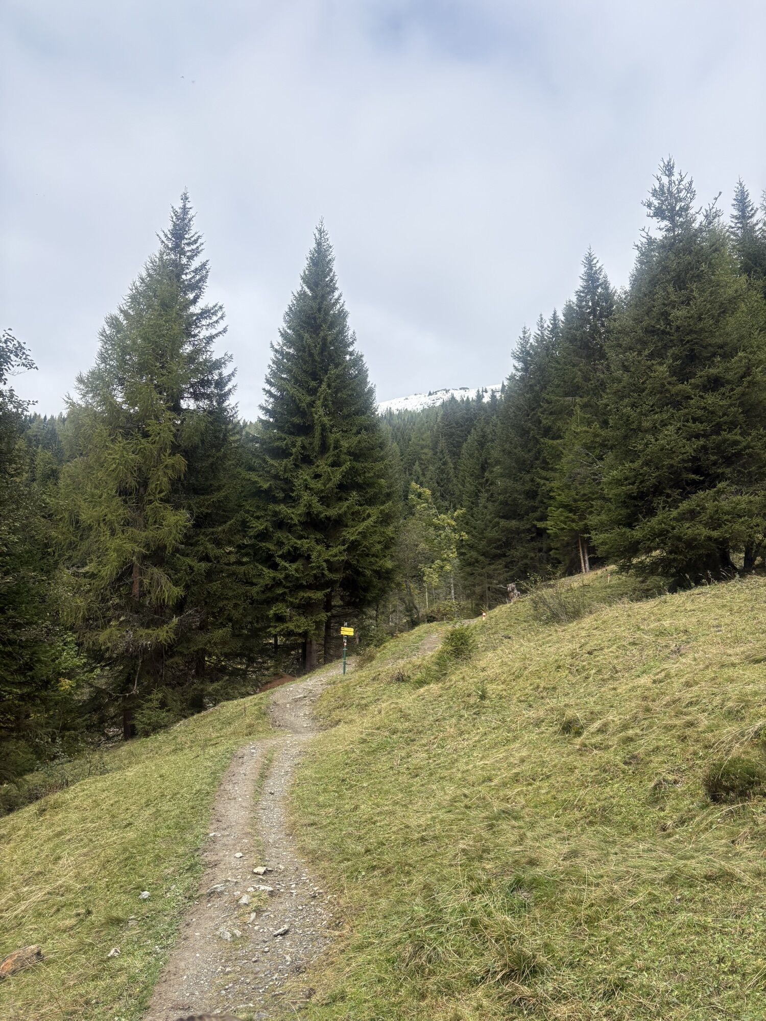
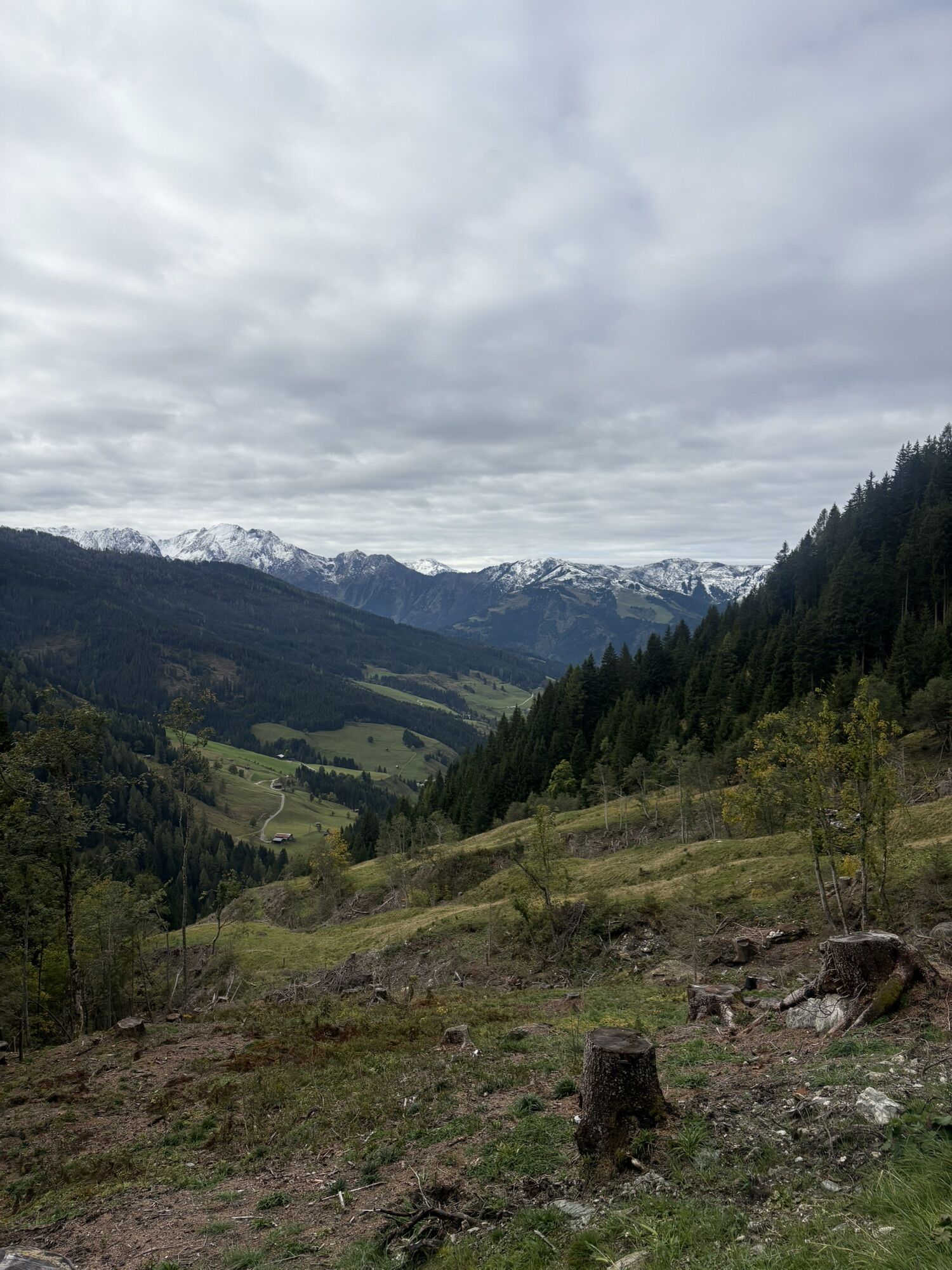
On the third day, the descent leads along the hiking trail to the parking space Vorderstadluck. From here, you have the option of taking the hiking taxi to the centre of Grossarl. Alternatively, you can hike back down to the valley via the Herta's Rest trail.
Day 2: From the Ellmaualm, we follow trail no. 63 via the Henerbichlalm (not managed) and then trail no. 64 via the Spatkar to the Saukaralm, 1,850 m (approx. 1 3/4 hours). From the Saukaralm, take trail no. 65 and no. 65A to the Gerstreitalm, 1,575 m (approx. 1 hour). Overnight stay at the Gerstreitalm. Total walking time: approx. 2 3/4 hours
Day 3: Descent on trail no. 65A to the parking space Vorderstadluck, 1,120 m (approx. 1 hour). From there, you have the option of taking the hiking taxi back down to the valley. Alternatively, descend via trail no. 65 and no. 17 (Hertas Rast) to the centre of Grossarl (approx. 1 hour). Total walking time: 2 hours
Note: The walking times are based on an average hiker. There is a lot for children to discover along the way, so allow for a little extra time here.
Oui
Hiking boots with profiled sole, some fruit, drinks (refillable bottles), wind and rain protection, toiletries, warm clothes and clothes for changing, flashlight, mini first aid kit, hiking map, sunscreen, chocolate or muesli bars, …
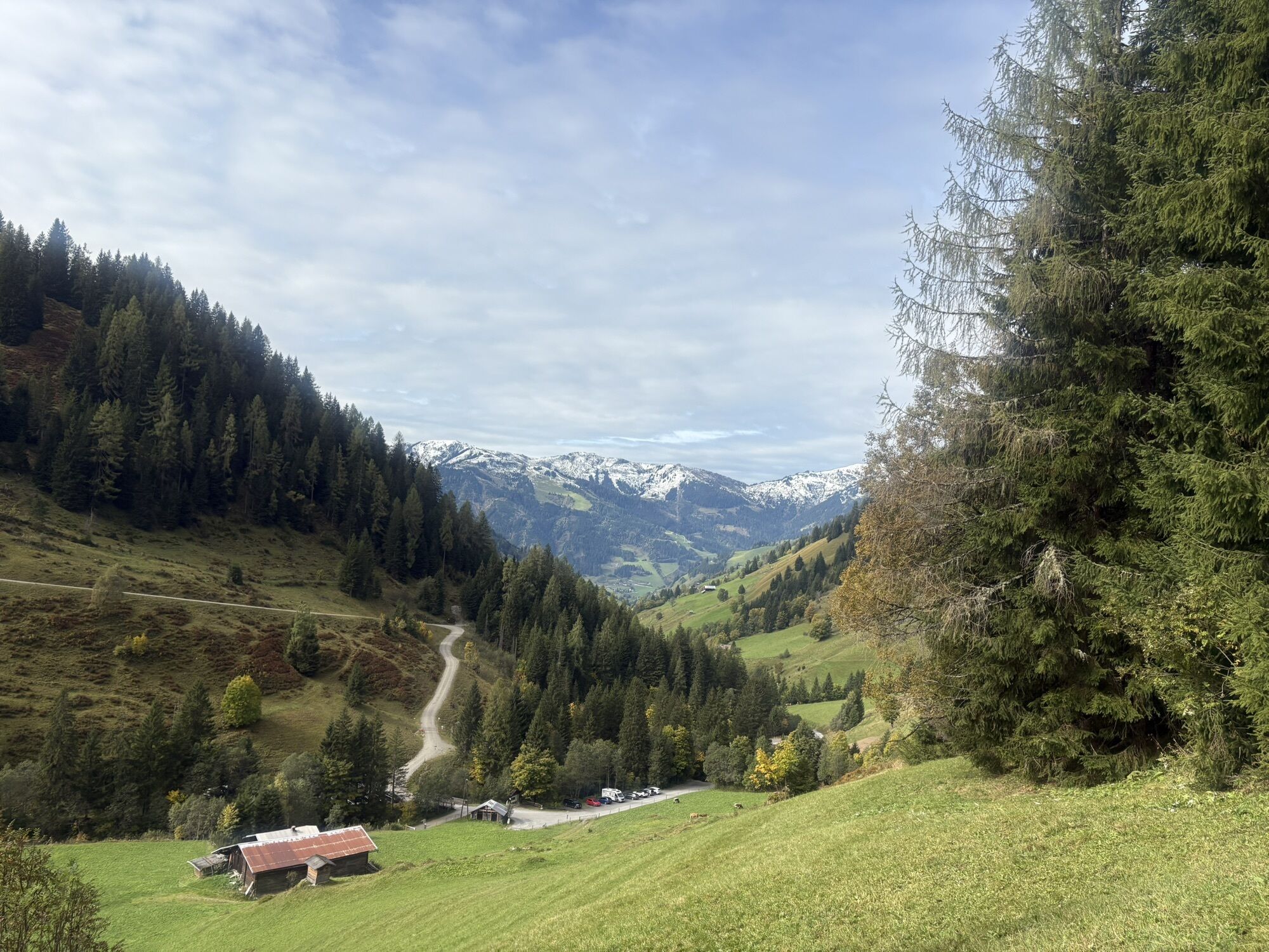
Take the car or bus no. 540 to the centre of Grossarl – parking is available at the Viehhauser petrol station in Grossarl. Continue with bus no. 541 or the hiking taxi to Grundlehen in Ellmautal.
Viehhauser gas station or parking space Grundlehen
T2
On the second day, a summit experience awaits: with a detour of about 1 hour, you can reach the Saukarkopf and enjoy magnificent views.
Webcams de la tournée
Kreuzkogel
Fulseck
Hotel Lammwirt im Großarltal/Ellmautal
Dorfgastein - Spiegelsee
Bergstation 6er Sesselbahn Harbach
Ellmautal - Palfenhof
Kühhagerbahn Bergstation
Großarl - Ort
Dorfgastein - Spiegelsee
Dorfgastein - Spiegelsee
Dorfgastein - Spiegelsee
Dorfgastein - Spiegelsee
Mooslehen Berg
Großarl - Loosbühelalm
Großarl - Kieserlbahn
Grossarl - Hotel Gasthof Schützenhof
Großarl - Hotel Kristall Übungslift
Bergstation Kieserl
Fulseck
Fulseck
Fulseck
Fulseck
Fulseck
Fulseck
Fulseck
Großarl
Parcours populaires à proximité
- 4,9
Großarl : Aualm - Liechtensteinkopf - Aukopf - Schuhflicker - Schuhflickersee
moyenRandonnée 5,84 km - 5,0
Großarl : Circuit des alpages dans la vallée d'Ellmautal
moyenRandonnée 9,69 km - 4,1
Tappenkarsee Kleinarl
moyenRandonnée 9,11 km - 4,9
Höhenweg vom Grünen Baum bis Bad Hofgastein
facileRandonnée 7,92 km - 4,8
Großarl : Mooslehenalm – Niggeltalalm – Viehhausalm
moyenRandonnée 5,44 km - 4,6
Bahnhof Bad Hofgastein nach Bahnhof Bad Gastein
moyenRandonnée 13,0 km - 4,5
Großarl : Saukaralm - Saukarkopf - Gerstreitalm
moyenRandonnée 9,39 km - 4,7
Bad Hofgastein Bergbahn Parkplatz - Rastötzenalm Bad Hofgastein
moyenVTT 16,9 km - 4,5
Wasserfall Bad Hofgastein
facileRandonnée 3,89 km - 4,2
Großarl : Unterwandalm - Karseggalm - Breitenebenalm
moyenRandonnée 5,93 km
Randonnée et suivi


Ne manquez pas les offres et l'inspiration pour vos prochaines vacances
Votre adresse électronique a été ajouté à la liste de diffusion.