Frankenthal Hbf - Protestantische Kirche - Kirche St. Jakobus - Kath. Kirche
moyen
Naviguer
Naviguer
Télécharge cette visite sur ton portable
Frankenthal Hbf - Protestantische Kirche - Kirche St. Jakobus - Kath. Kirche
moyen
Vélo de course
50,55
km
Scanner le code QR et commencer la navigation dans l'application bergfex

Randonnée & tracking


Frankenthal Hbf - Protestantische Kirche - Kirche St. Jakobus - Kath. Kirche
moyen
Distance
50,55
km
Durée
02:35
h
Ascension
517
m
Altitude
94 -
331
m
Téléchargement de la piste
Frankenthal Hbf - Protestantische Kirche - Kirche St. Jakobus - Kath. Kirche
moyen
Vélo de course
50,55
km
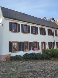
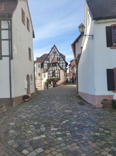
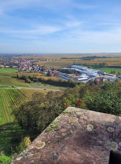
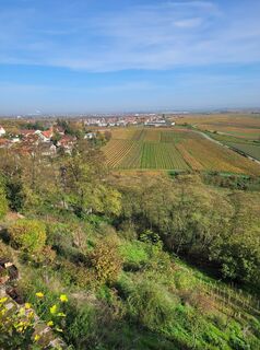
Photos de nos utilisateurs
-
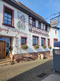
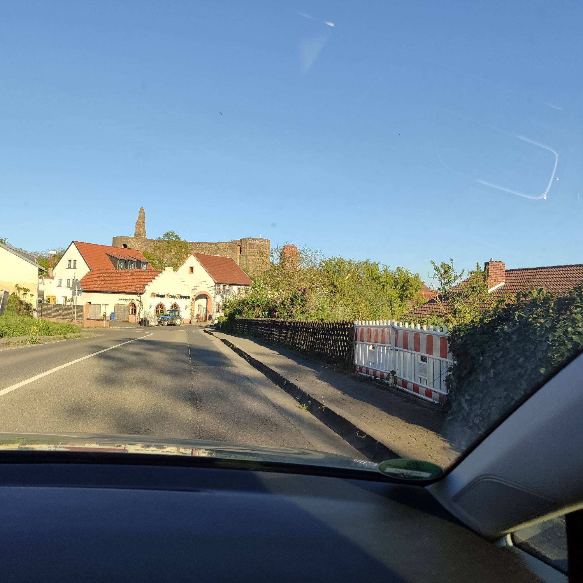
 © Peter MißbachCréé le 30.10.2022
 -
 © Peter MißbachCréé le 30.10.2022
 -
 © Peter MißbachCréé le 30.10.2022
 -
 © Peter MißbachCréé le 30.10.2022
 -
 © Peter MißbachCréé le 30.10.2022
 -
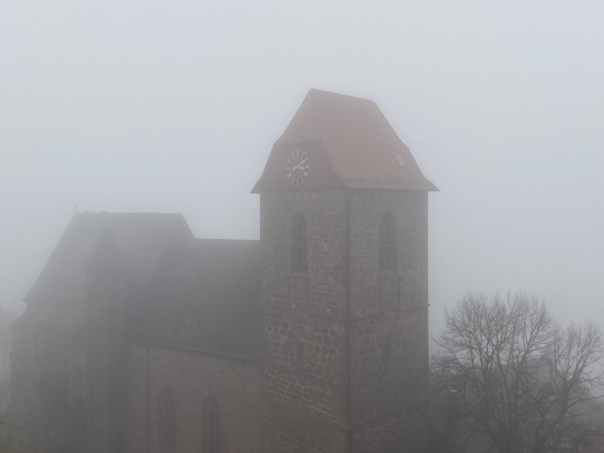
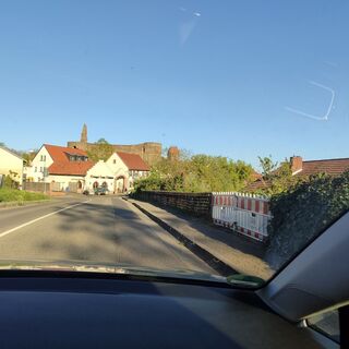 © Joachim JosephCréé le 23.04.2026
 -
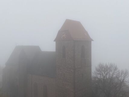
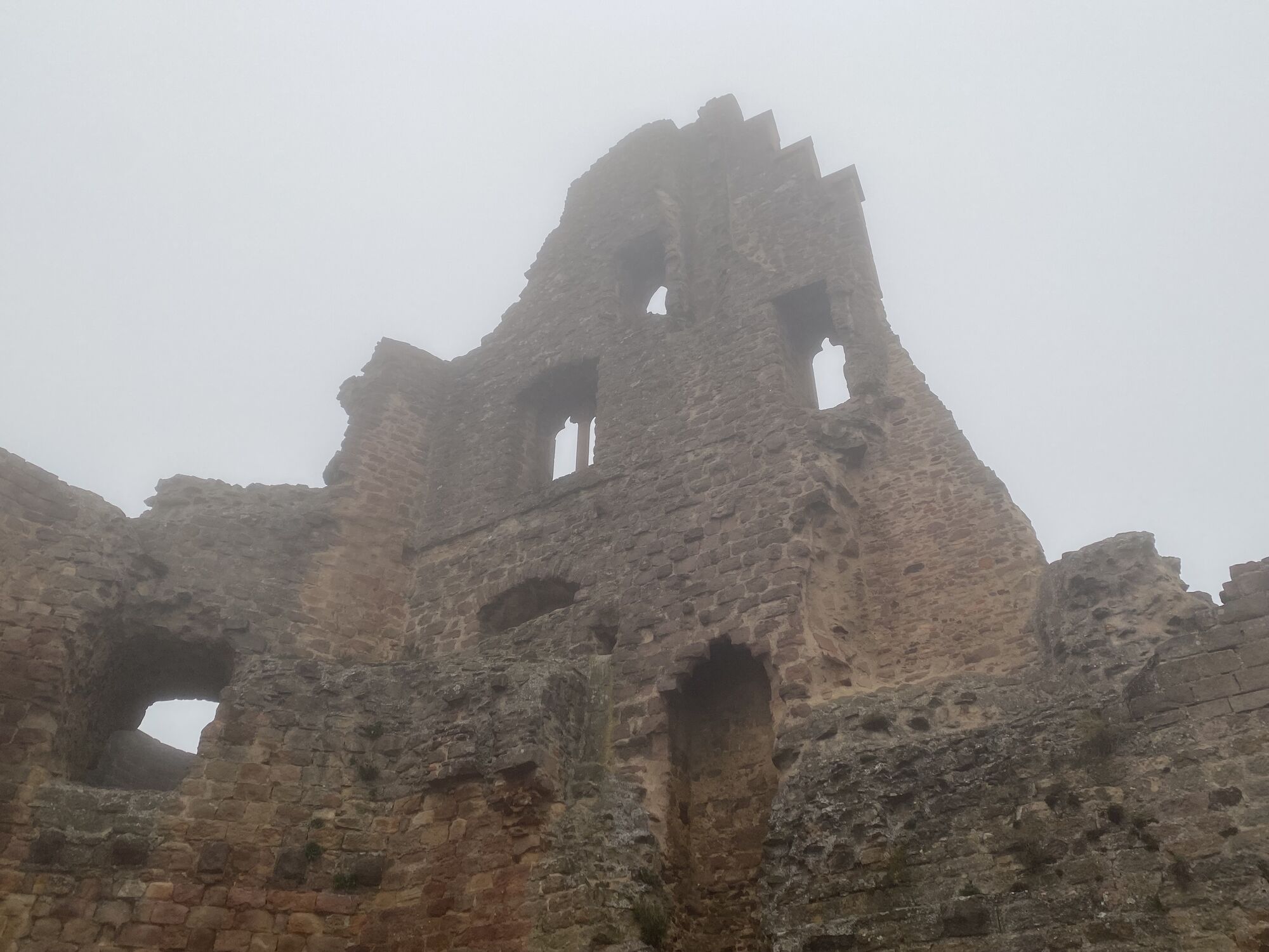
 © Arthur MuskallaCréé le 10.11.2024
 -
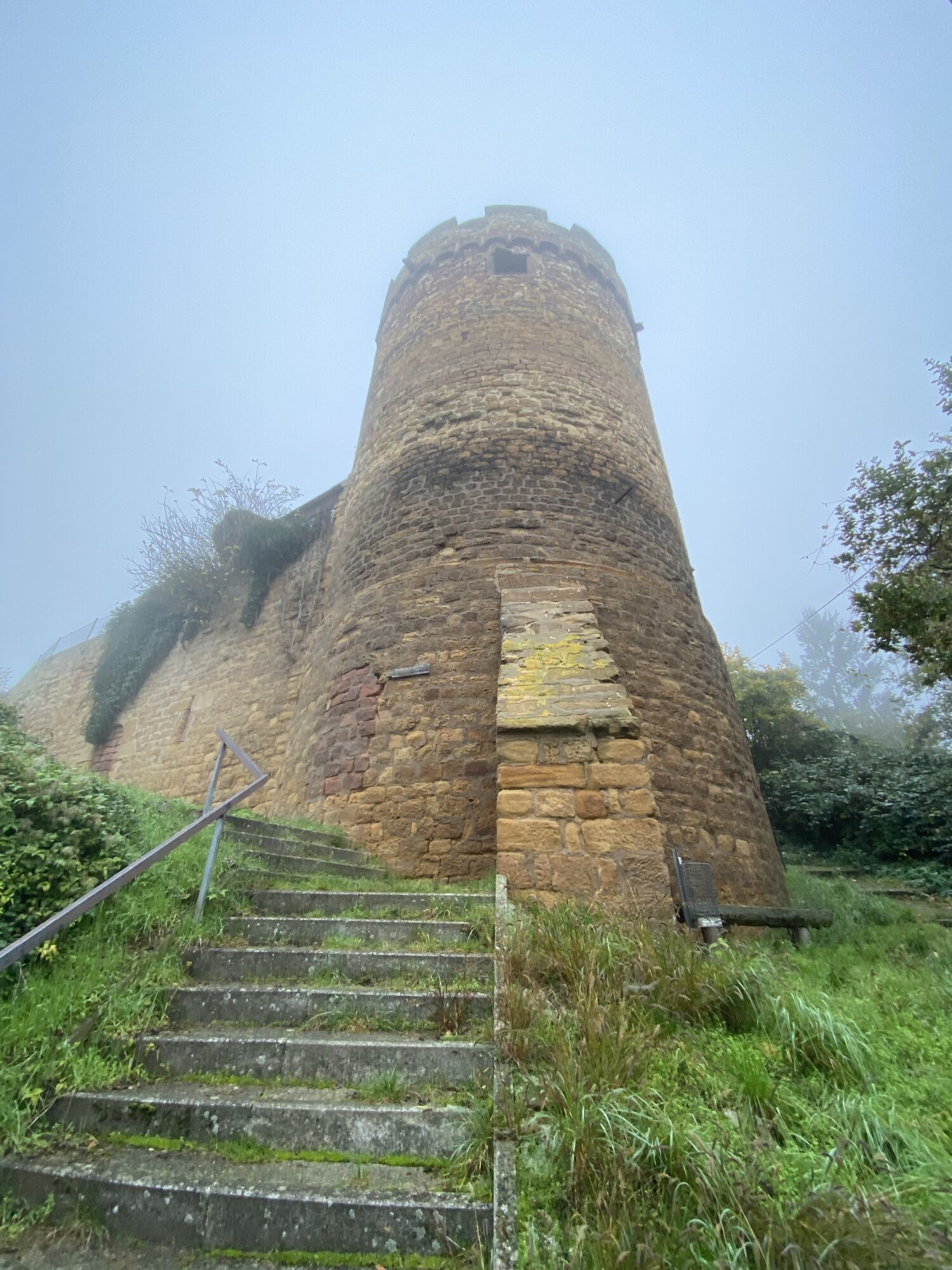
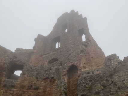 © Arthur MuskallaCréé le 10.11.2024
 -
 © Arthur MuskallaCréé le 10.11.2024


Parcours
Merkez Cami
(98 m)
Lieu de culte
0,3 km
Protestantische Kirche
(121 m)
Lieu de culte
10,9 km
Kirche St. Jakobus
(126 m)
Lieu de culte
11,0 km
Kath. Kirche
(166 m)
Lieu de culte
14,3 km
prot. Kirche
(258 m)
Lieu de culte
31,7 km
Kath. Kirche
(166 m)
Lieu de culte
36,2 km
Merkez Cami
(98 m)
Lieu de culte
50,3 km
Parcours
Frankenthal Hbf - Protestantische Kirche - Kirche St. Jakobus - Kath. Kirche
moyen
Vélo de course
50,55
km
Frankenthal Hbf
(95 m)
Gare ferroviaire
0,0 km
Merkez Cami
(98 m)
Lieu de culte
0,3 km
Frankenthal (Pfalz)
(96 m)
Ville
0,6 km
Ellenbergs Restaurant & Hotel
(100 m)
Restaurant
3,9 km
Heßheim
(101 m)
Village
4,0 km
Gerolsheim
(102 m)
Village
7,4 km
Großkarlbach
(121 m)
Village
10,8 km
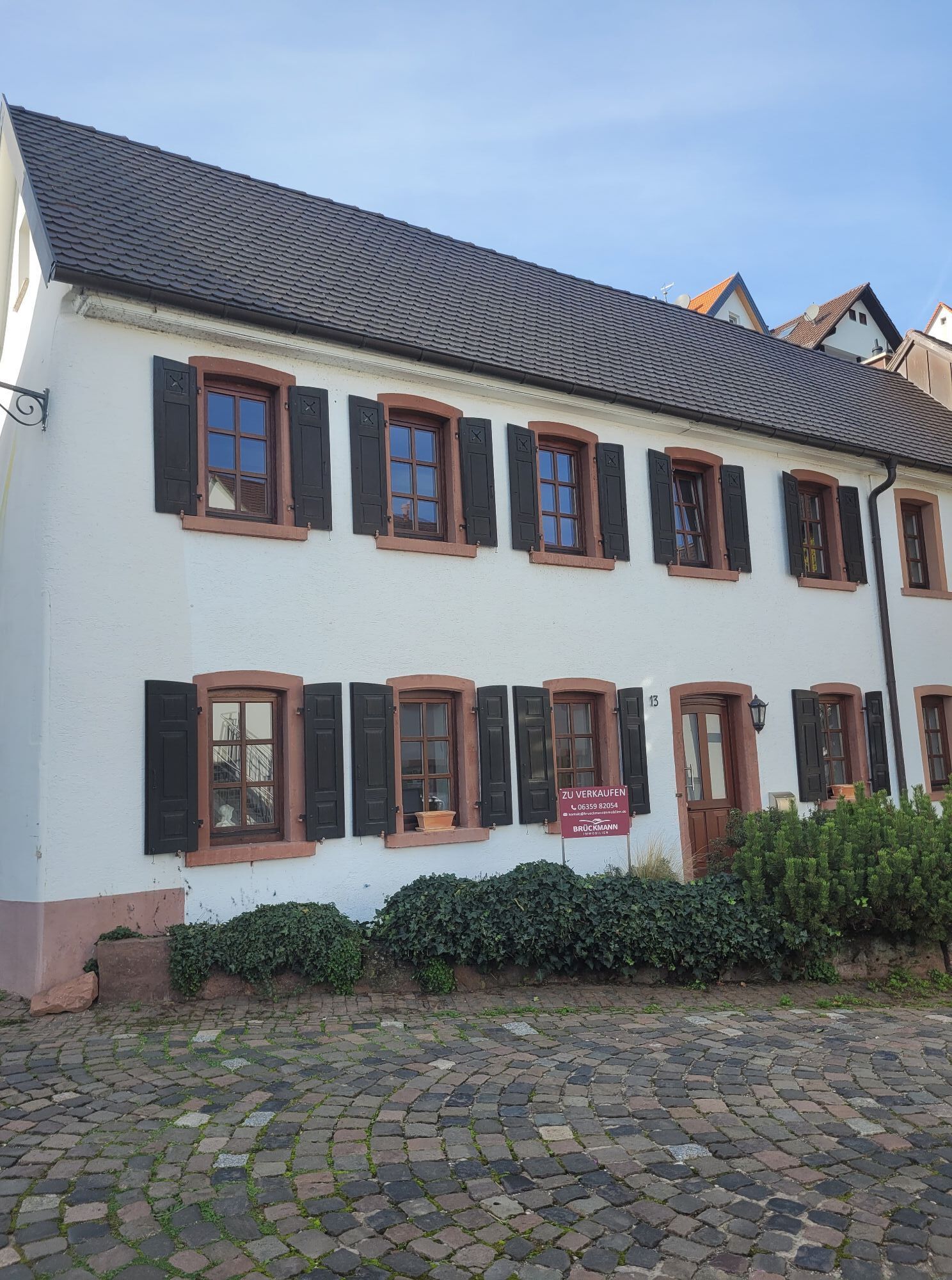
Protestantische Kirche
(121 m)
Lieu de culte
10,9 km
Karlbacher
(124 m)
Restaurant
10,9 km
Kirche St. Jakobus
(126 m)
Lieu de culte
11,0 km
Bissersheim
(141 m)
Village
12,4 km
Goldberg
(135 m)
Restaurant
12,4 km
Knispers Halbstück
(146 m)
Restaurant
12,7 km
Kirchheim an der Weinstraße
(163 m)
Village
14,1 km
Schwarz Restaurant - Manfred Schwarz
(163 m)
Restaurant
14,2 km
Kath. Kirche
(166 m)
Lieu de culte
14,3 km
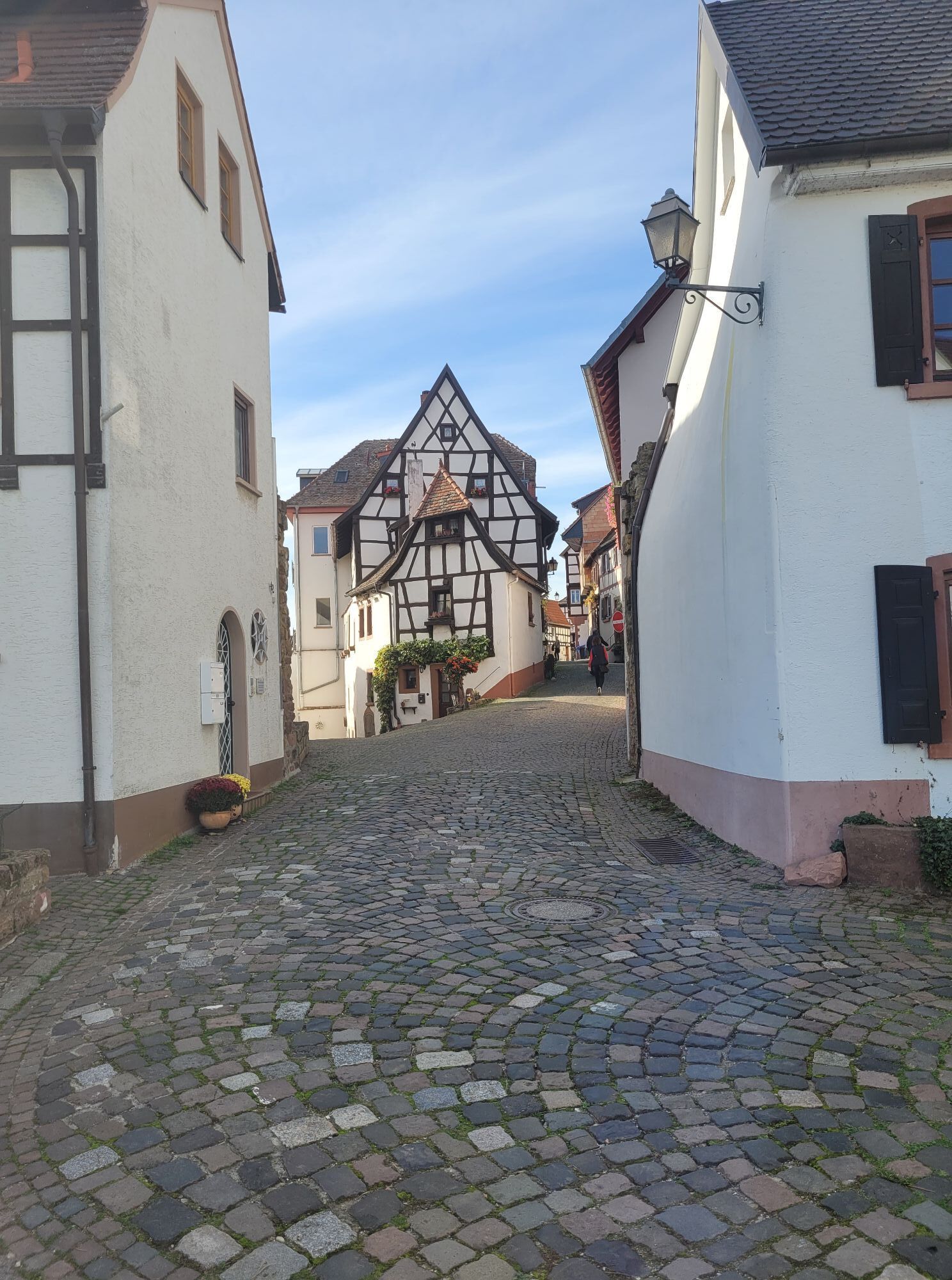
Kleinkarlbach
(166 m)
Village
16,2 km
Neuleiningen-Tal
(181 m)
Quartier
17,3 km
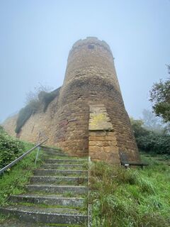
Neuleiningen
(256 m)
Village
17,4 km
Maihof-Drahtzug
(219 m)
Lotissement
20,8 km
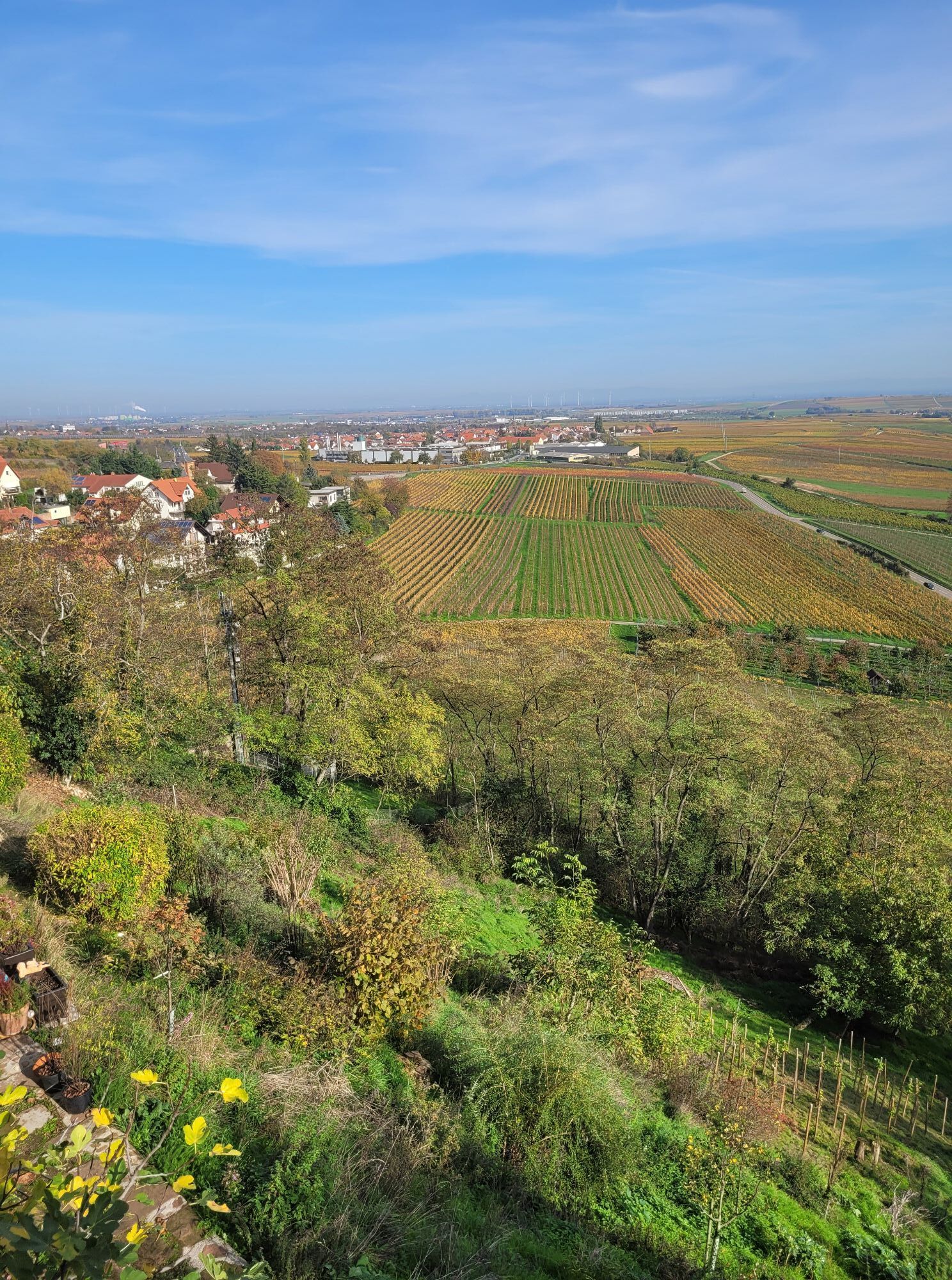
Wattenheim
(323 m)
Village
24,8 km
Nackterhof
(323 m)
Lotissement
28,0 km
Neuleiningen
(256 m)
Village
31,7 km
prot. Kirche
(258 m)
Lieu de culte
31,7 km
Neuleiningen-Tal
(181 m)
Quartier
31,8 km
Kleinkarlbach
(166 m)
Village
34,4 km
Kath. Kirche
(166 m)
Lieu de culte
36,2 km
Schwarz Restaurant - Manfred Schwarz
(163 m)
Restaurant
36,5 km
Kirchheim an der Weinstraße
(163 m)
Village
36,5 km
Knispers Halbstück
(146 m)
Restaurant
37,9 km
Bissersheim
(141 m)
Village
38,1 km
Goldberg
(135 m)
Restaurant
38,2 km
Kirche St. Jakobus
(126 m)
Lieu de culte
39,8 km
Karlbacher
(124 m)
Restaurant
39,9 km
Protestantische Kirche
(121 m)
Lieu de culte
39,9 km
Großkarlbach
(121 m)
Village
40,0 km
Gerolsheim
(102 m)
Village
43,3 km
Heßheim
(101 m)
Village
46,7 km
Ellenbergs Restaurant & Hotel
(100 m)
Restaurant
46,8 km
Frankenthal (Pfalz)
(96 m)
Ville
50,1 km
Merkez Cami
(98 m)
Lieu de culte
50,3 km
Frankenthal Hbf
(95 m)
Gare ferroviaire
50,5 km
Pas encore d'évaluation
Parcours populaires à proximité
-
3,8
Ganerbenweg - sentier circulaire premium dans la région touristique de Freinsheim
moyenRandonnée 10,5 km -
Wachenheim - Eckkopf - Heidenlöcher - Wachenheim
moyenRandonnée 12,8 km -
4,5
De Deidesheim via les Heidenlöcher jusqu'à l'Eckkopf
moyenRandonnée 14,6 km -
5,0
Parcours des vallées de Wachenheim jusqu'à la maison Oppauer
moyenRandonnée 11,7 km -
5,0
Parcours circulaire à travers forêt et vignes : Weisenheim am Berg - « Vin, Forêt, Ungeheuer »
moyenRandonnée 12,5 km -
5,0
Leininger Burgenweg - sentier de randonnée premium avec stations audio et vidéo
difficileRandonnée 22,3 km -
4,0
Thomas‘ Waldweinstube über die Wachtenburg
facileRandonnée 4,81 km -
3,5
Leininger Klosterweg - parcours premium avec stations audio et vidéo
moyenRandonnée 15,3 km -
4,3
Zwei-Burgen Tour Battenberg
moyenRandonnée 5,43 km -
Pfälzer Weinsteig Etappe 03 Bad Dürkheim - Deidesheim
moyenChemin de Grande Randonnée 15,2 km

Randonnée et suivi

Plus de 550.000 propositions de circuits, des cartes détaillées et un planificateur d'itinéraire intuitif font de cette application un must pour tous les passionnés de nature.

Ne manquez pas les offres et l'inspiration pour vos prochaines vacances
S'inscrire à la newsletter
Erreur
Une erreur s'est produite. Veuillez réessayer.
Merci pour votre inscription
Votre adresse électronique a été ajouté à la liste de diffusion.
Parcours en Europe
Autriche
Suisse
Allemagne
Italie
Slovénie
France
Pays-Bas
Belgique
Pologne
Liechtenstein
République tchèque
Slovaquie
Espagne
Croatie
Bosnie-Herzégovine
Luxembourg
Andorre
Portugal
Islande
Royaume-Uni
Irlande
Grèce
Albanie
Macédoine du Nord
Malte
Norvège
Monténégro
Moldavie
Kosovo
Hongrie
Saint-Marin
Roumanie
Estonie
Lettonie
Bélarus
Chypre
Lituanie
Serbie
Bulgarie
Monaco
Danemark
Suède
Finlande