


Tervaneva route, Pyhäjoki
The Tervaneva route
Length 5,2 km, route colour-coded green
Ends at Pyhäjoki centre and joins the Parhalahti route at Teereläntie
The Halusen route diverges here towards Pirttikoski
Level of difficulty:...
The Tervaneva route
Length 5,2 km, route colour-coded green
Ends at Pyhäjoki centre and joins the Parhalahti route at Teereläntie
The Halusen route diverges here towards Pirttikoski
Level of difficulty: the road section is easy to negotiate, the forest section between Tervaoja and Liminkaoja is challenging, grassy and occasionally wet, with several ditch crossings. Coming from the forest section across the field to Parhalahti, the route is difficult to find without a map application. Accessible on foot and mainly by mountain bike.
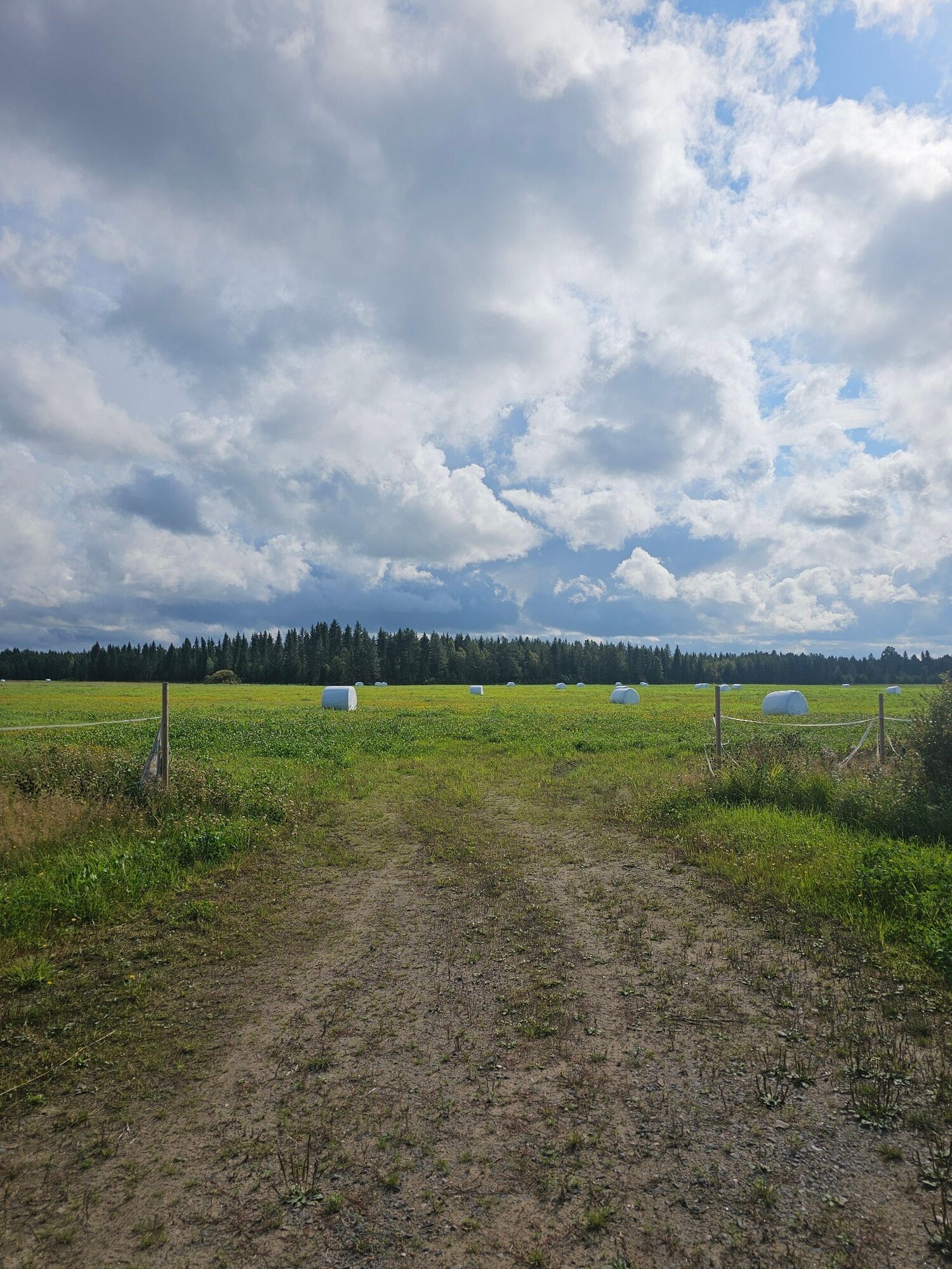
Things to see: the Hourunkoski rapids, bridge over the roadside canal, the Tervaoja and the Liminkaoja.
Caution: Traffic on the Vihannintie

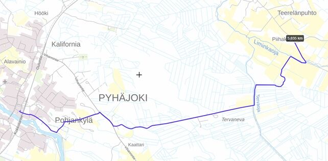
The route starts from the parking lot between Hourulantie and Kuntatantie in the centre of Pyhäjoki.
64.464245, 24.261278
Route operator Pyhäjoki Municipality
Route maintenance Putkivoima Oy 045 6503486
Parcours populaires à proximité
-
Parcours Tullikivi, Piehinki
moyenVTT 28,5 km -
Parcours Ristimaa, Piehinki
facileVTT 7,94 km -
Parcours Elävisluodon, Pyhäjoki
moyenVTT 10,3 km -
Pyhäjoki river route
facileFaire du vélo 22,5 km -
The Musu route, Piehinki
moyenVTT 16,6 km -
Pirttikoski art route, Pyhäjoki
facileFaire du vélo 11,7 km -
Parcours Halunen, Pyhäjoki
facileVTT 9,79 km -
Vuotinperä route, Pyhäjoki
facileVTT 5,57 km -
Kultaranta route, Pyhäjoki
facileVTT 2,65 km -
Parhalahti route, Pyhäjoki
facileVTT 13,2 km
Randonnée et suivi


Ne manquez pas les offres et l'inspiration pour vos prochaines vacances
Votre adresse électronique a été ajouté à la liste de diffusion.