


St Olav Ostrobothnia (S) 5/10, Närpes-Rangsby
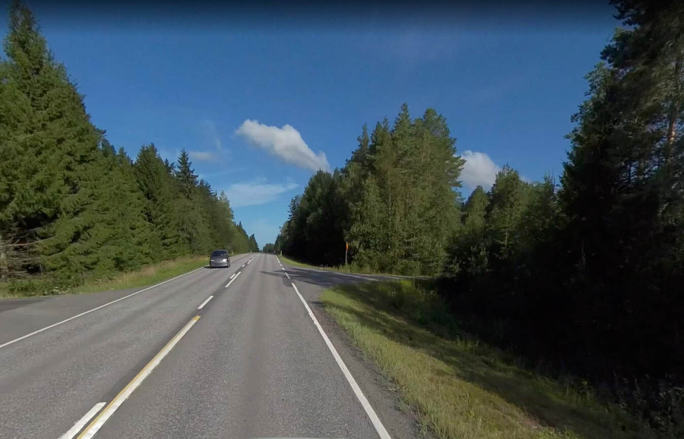
An easy stage, first on asphalt and then mostly on gravel.
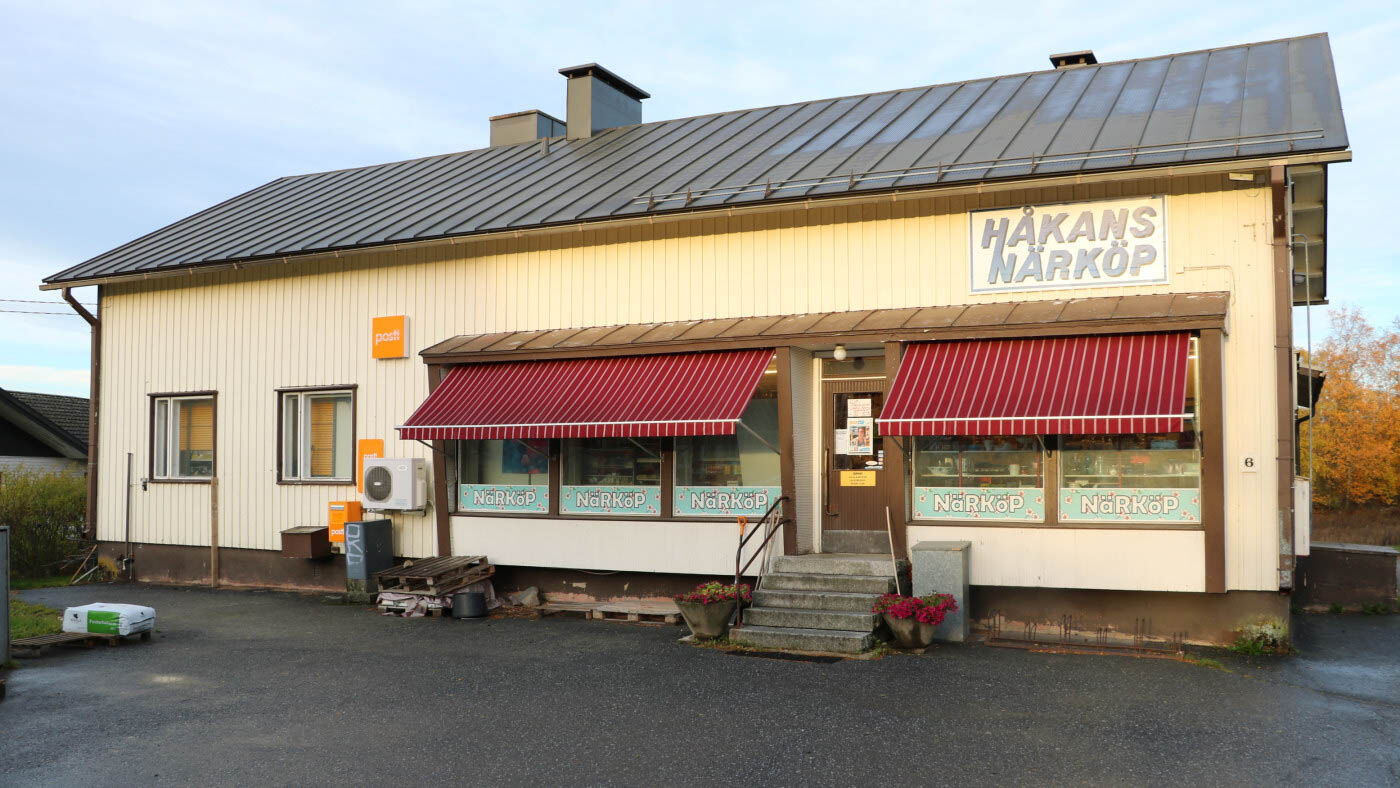
NOTE: the only service point during the day and before the following day's stage, is Norrnäs Närköp (located just over halfway during the day and...
NOTE: the only service point during the day and before the following day's stage, is Norrnäs Närköp (located just over halfway during the day and 800 m alongside the trail).
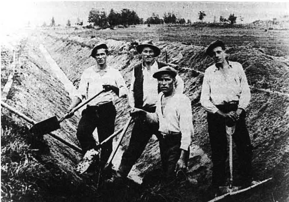
About 3.5 km out of Närpes, the trail arrives to Strandvägen and continues on a paved cycle path. After another 2 km you turn north on Vargstubackvägen. At the farm group Skatabacken (at about 9-10 km) you pass the Storträsket, an area that was drained by hand in 1936 and today is agricultural land. In Norrnäs village (at about 16 km), a little west of the trail, is the village shop Norrnäs närköp.
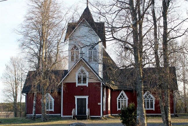
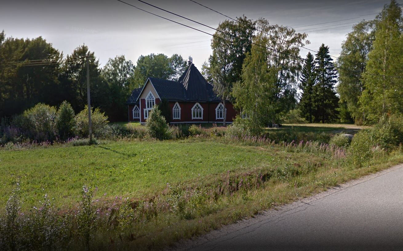
The church in Rangsby is on the left at about 21 km.
INFO RANGSBY
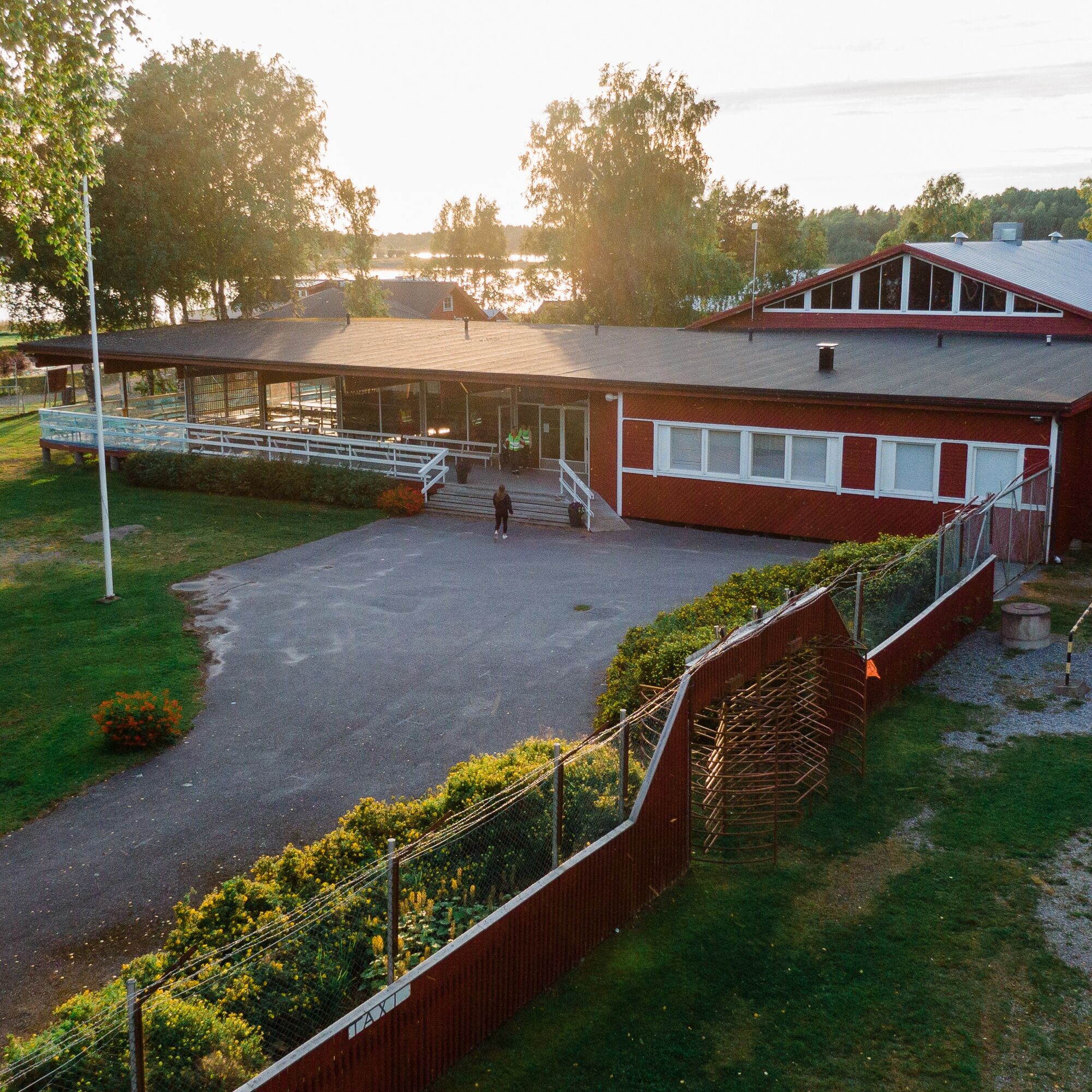
Rangsby school (accommodation, gym): Rangsbyvägen 196, 64550 Rangsby, email paate81@hotmail.com, tel. 040 5061 505, tel. 050 0260 809
Summer shop Fagerö Stjäributik located about 3 km off the trail in Rangsby

Randonnée et suivi


Ne manquez pas les offres et l'inspiration pour vos prochaines vacances
Votre adresse électronique a été ajouté à la liste de diffusion.