


Spital am Pyhrn - Bosruckhütte - Großer Pyhrgas
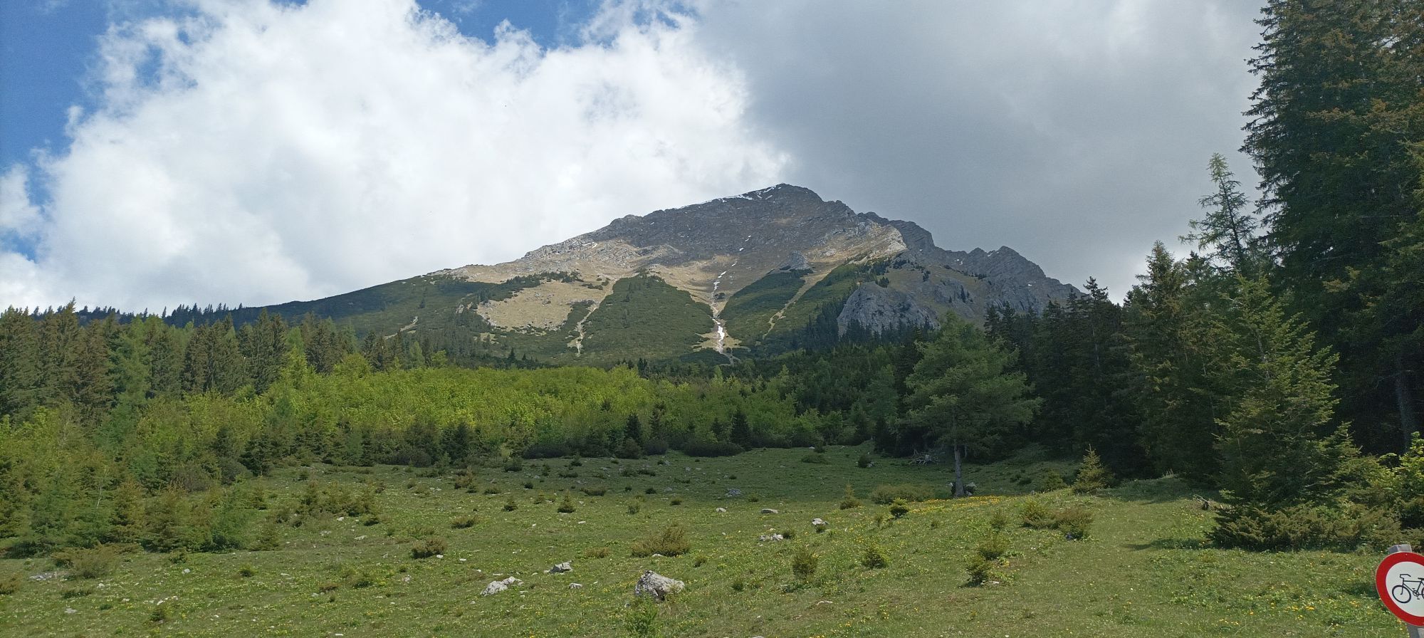
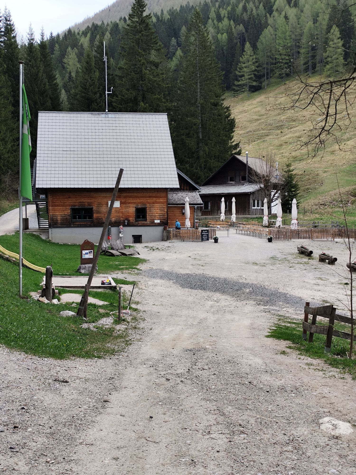

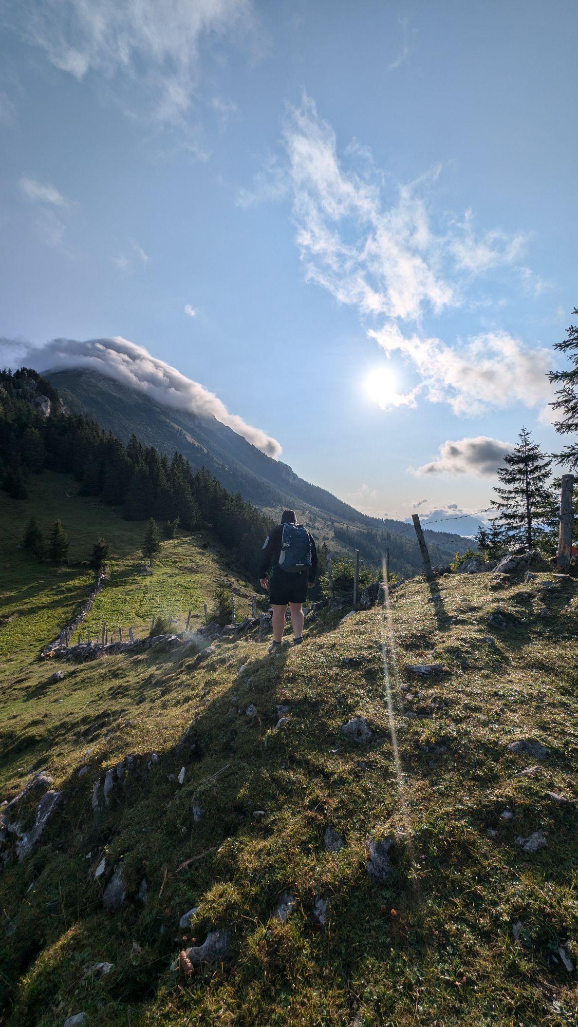
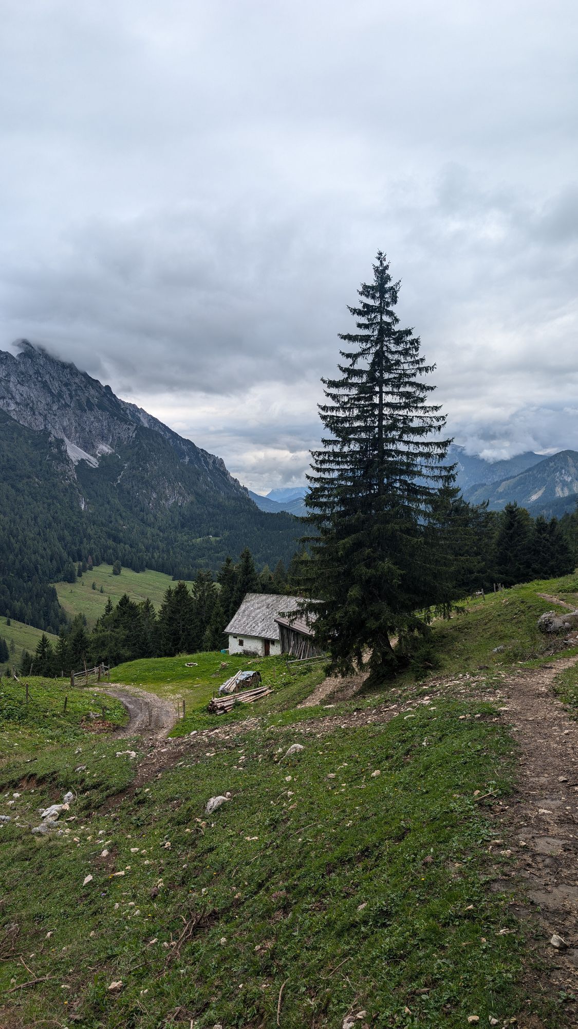
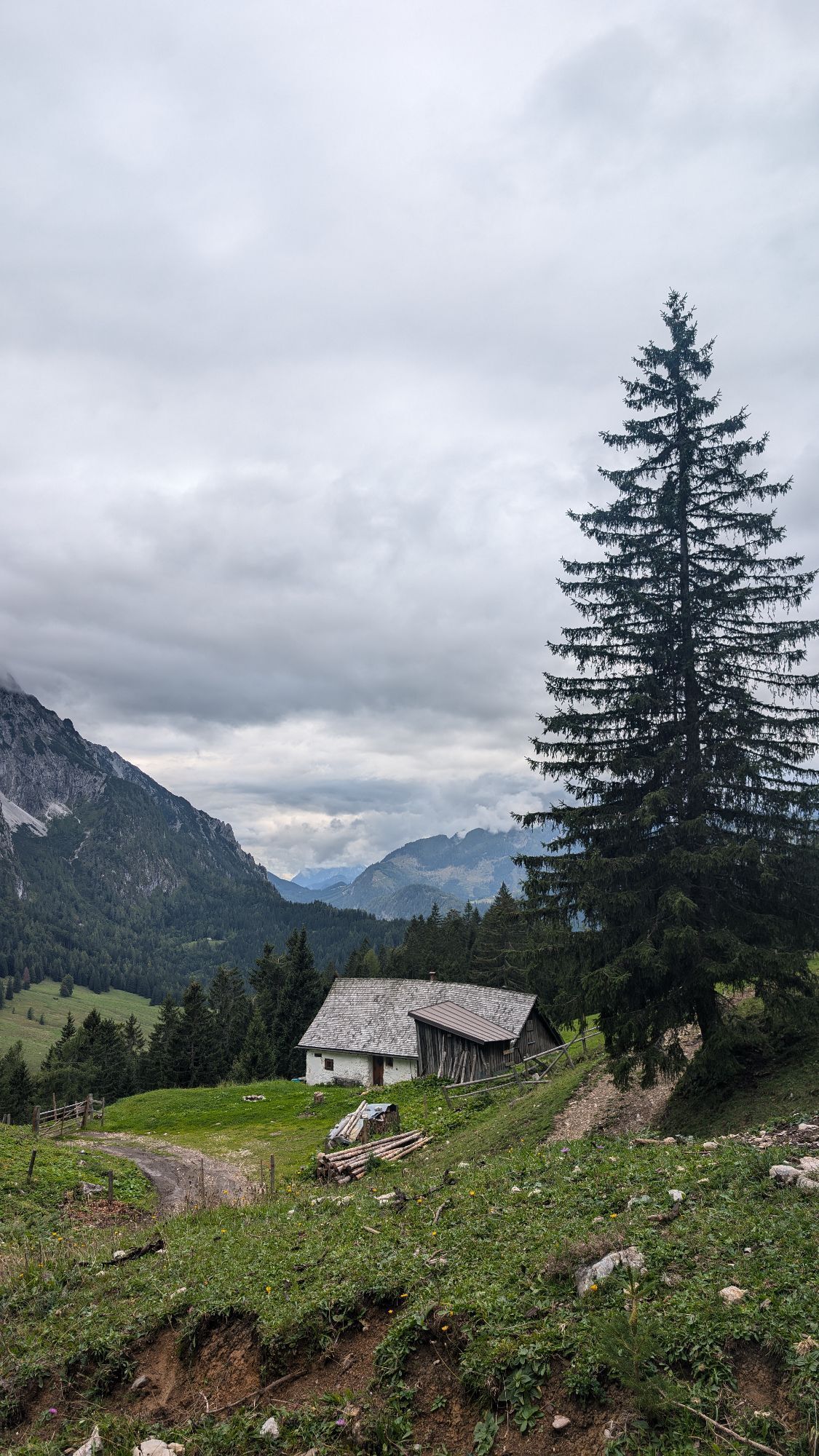

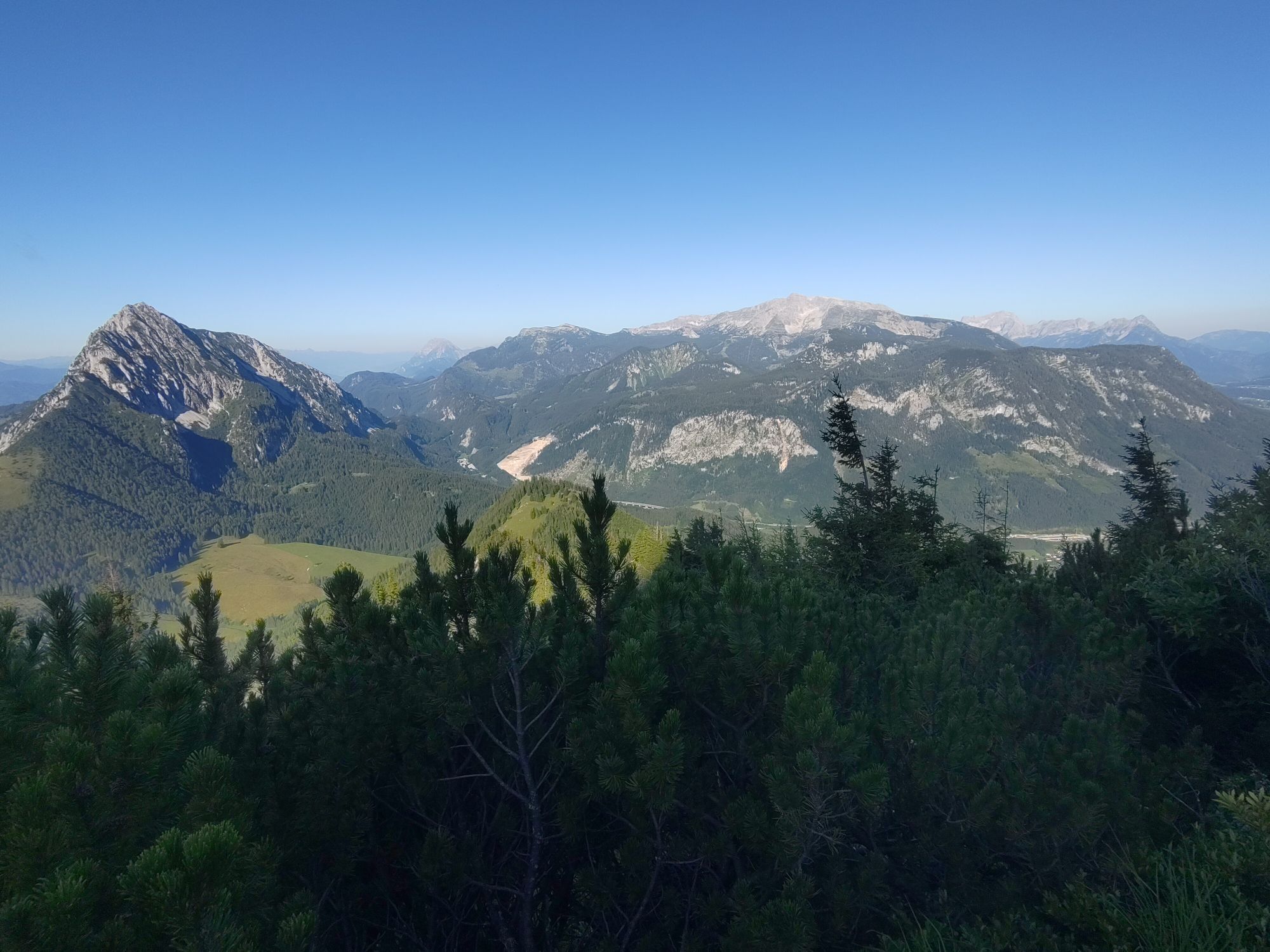
Der Startpunkt der Tour ist beim Parkplatz vor der Bosruckhütte (ca. 1030 m). Von hier aus marschiert man zuerst zur Bosruckhütte (1043 m, Einkehrmöglichkeit). Das erste Teilstück führt über eine Sandstraße...
Der Startpunkt der Tour ist beim Parkplatz vor der Bosruckhütte (ca. 1030 m). Von hier aus marschiert man zuerst zur Bosruckhütte (1043 m, Einkehrmöglichkeit). Das erste Teilstück führt über eine Sandstraße ostwärts zur Rohrauerhütte (1308 m).
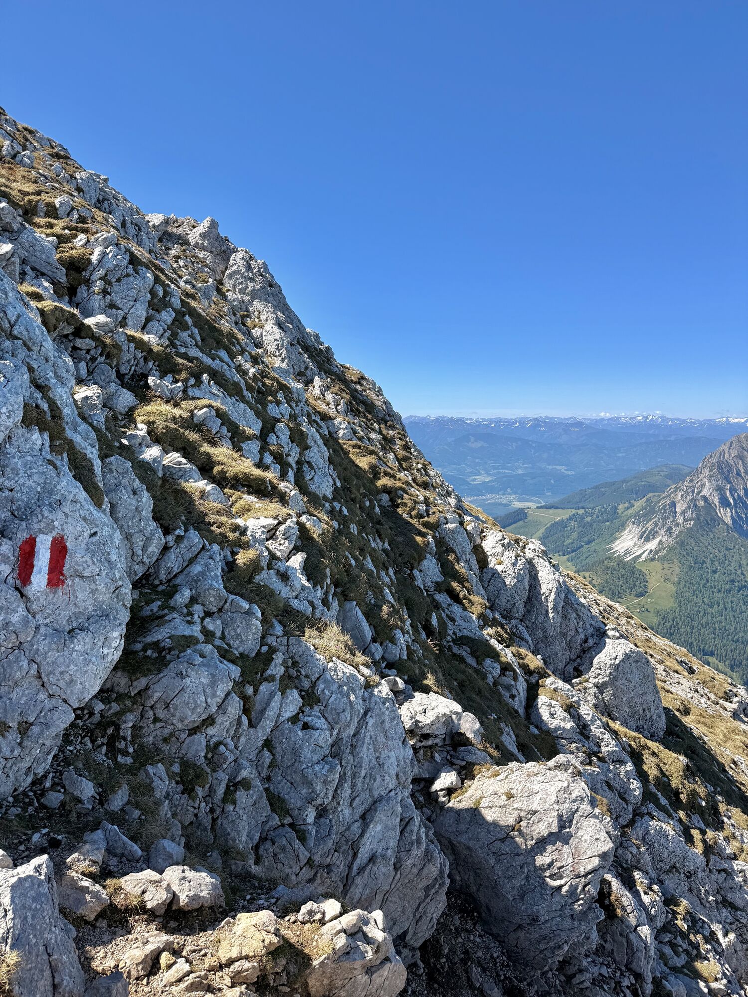
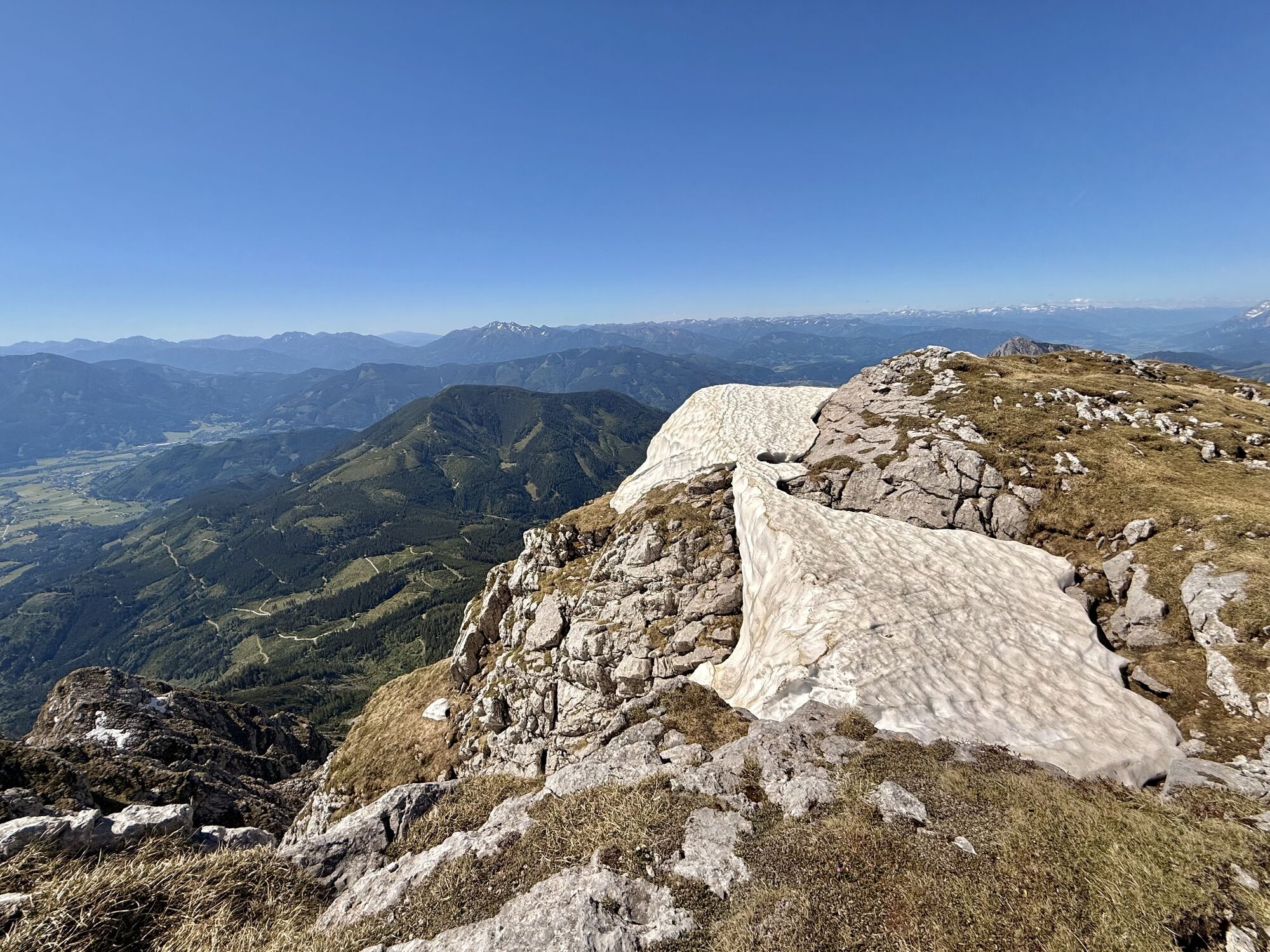
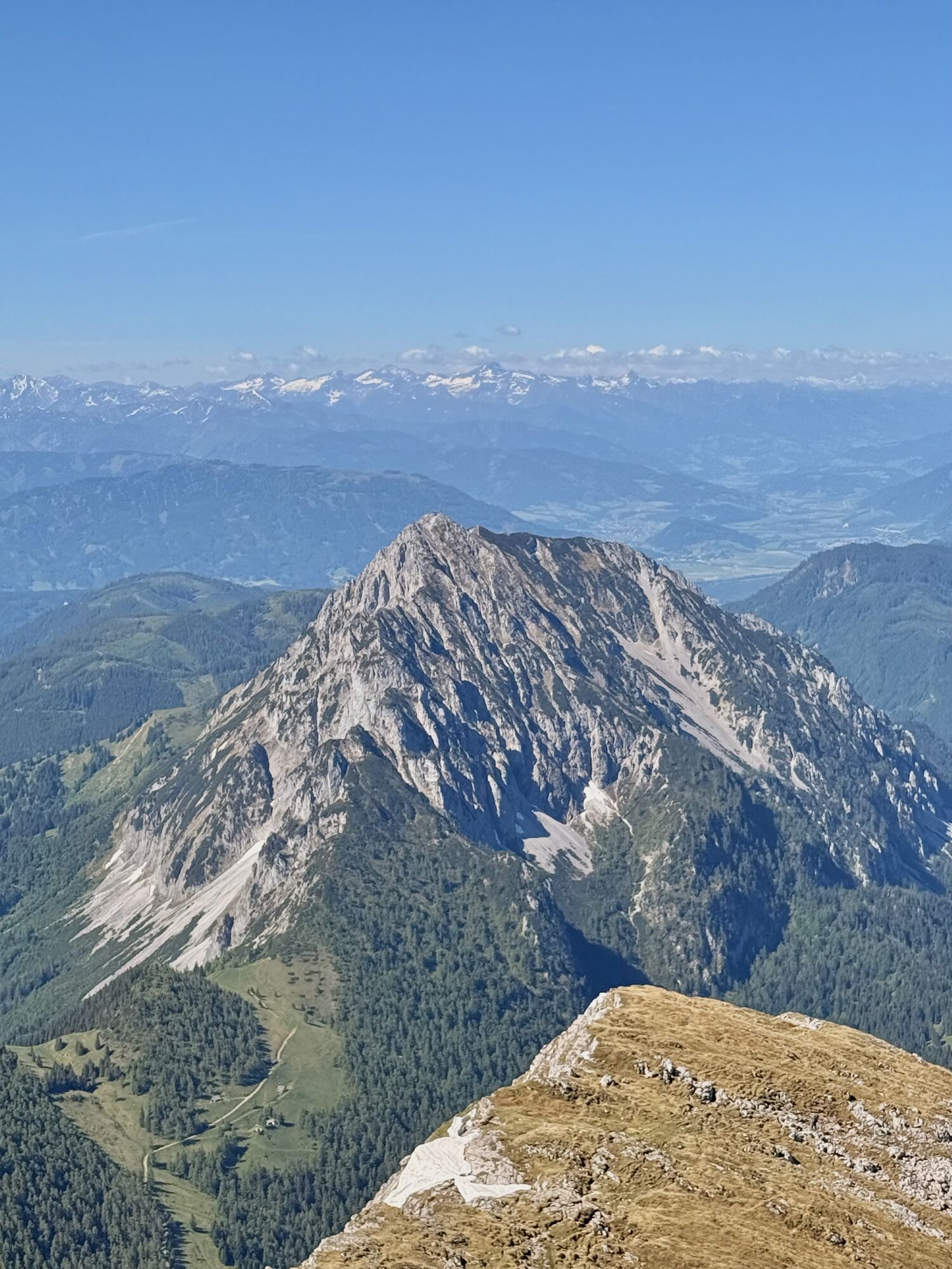
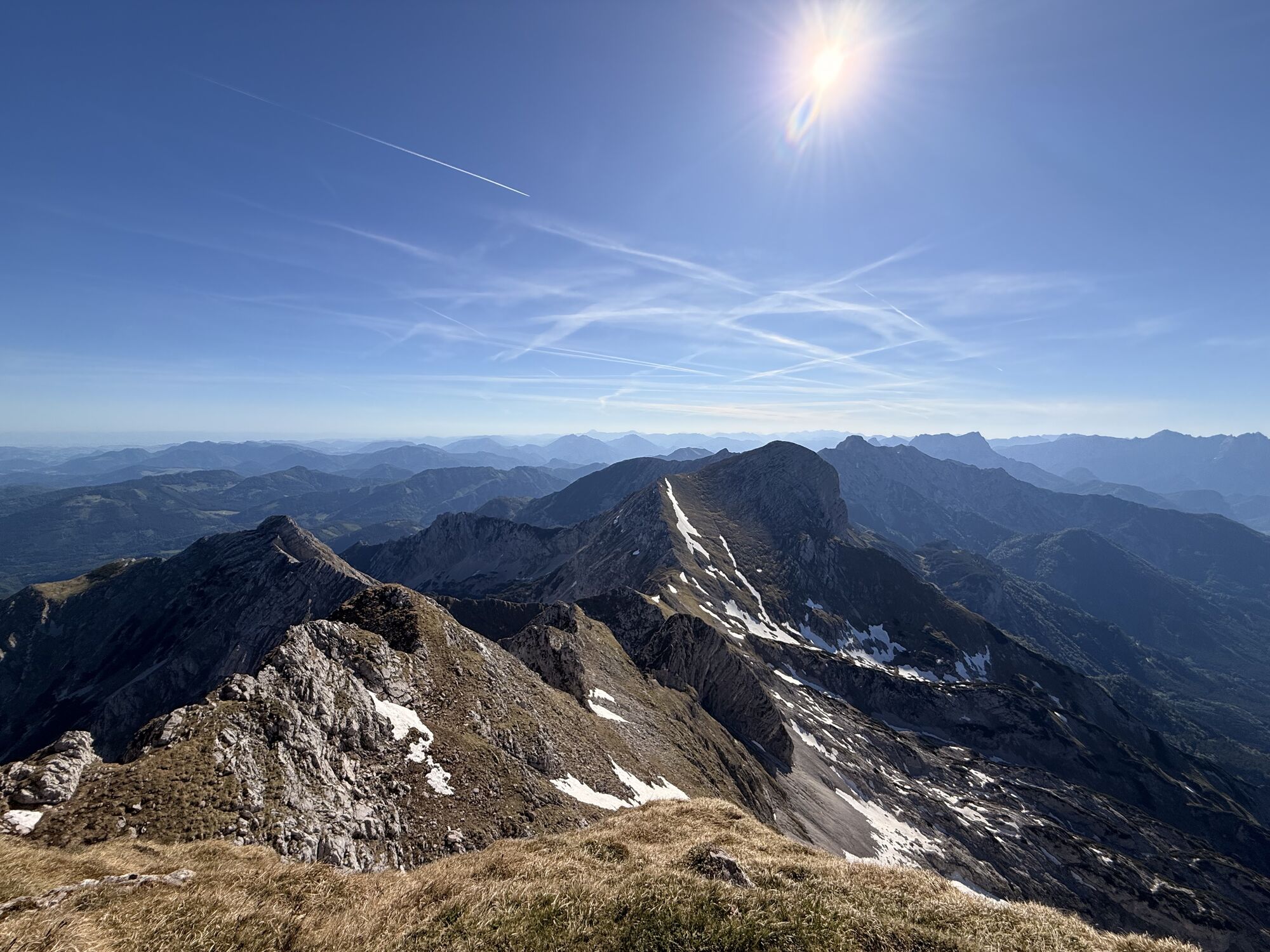
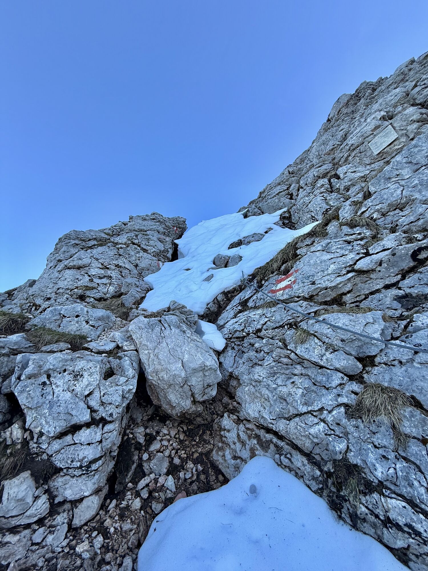
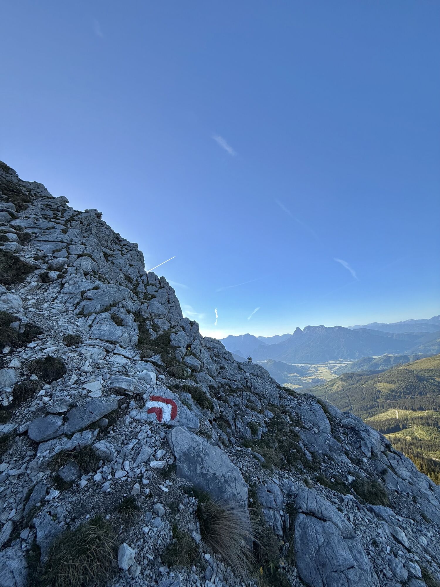
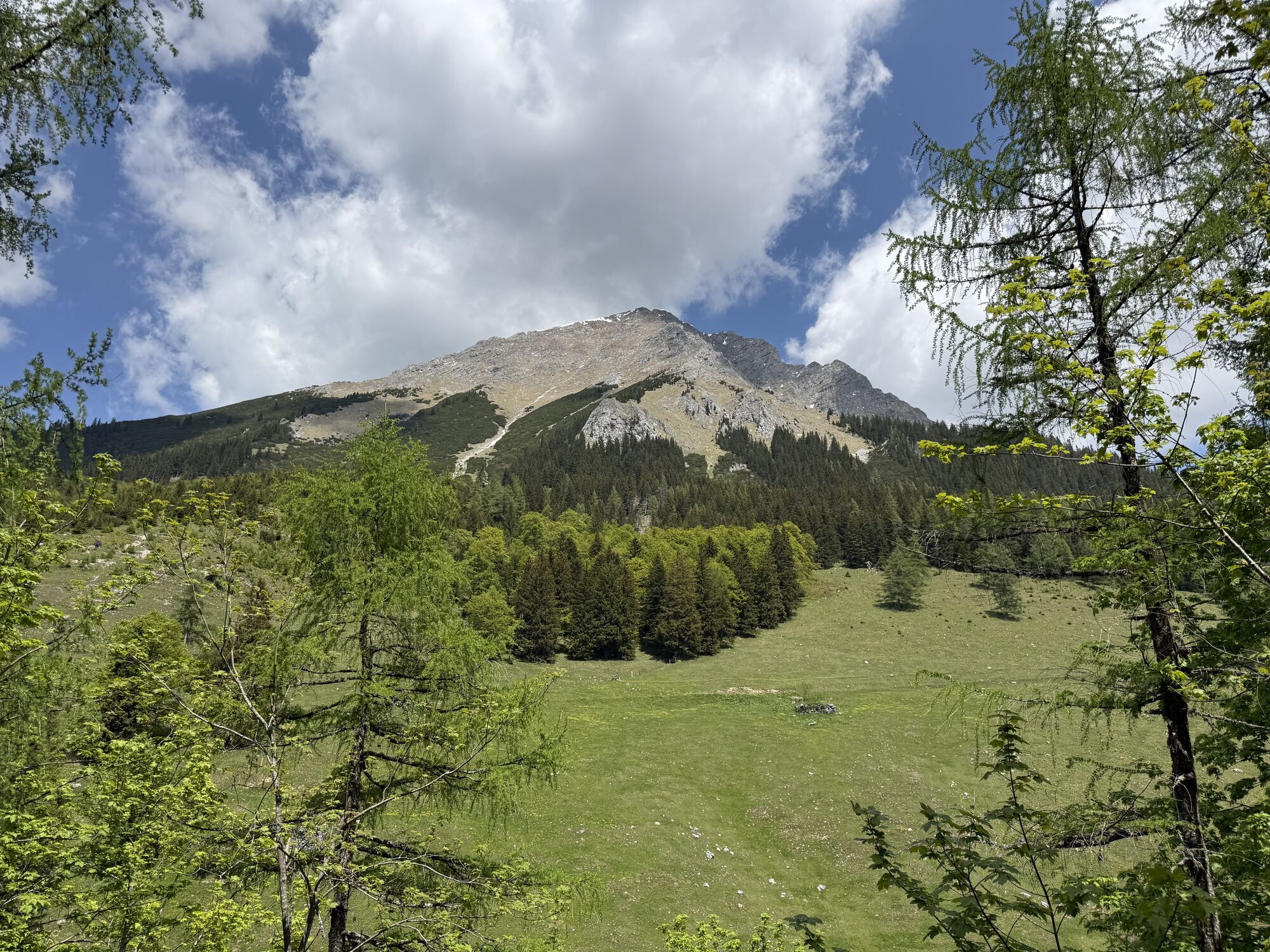
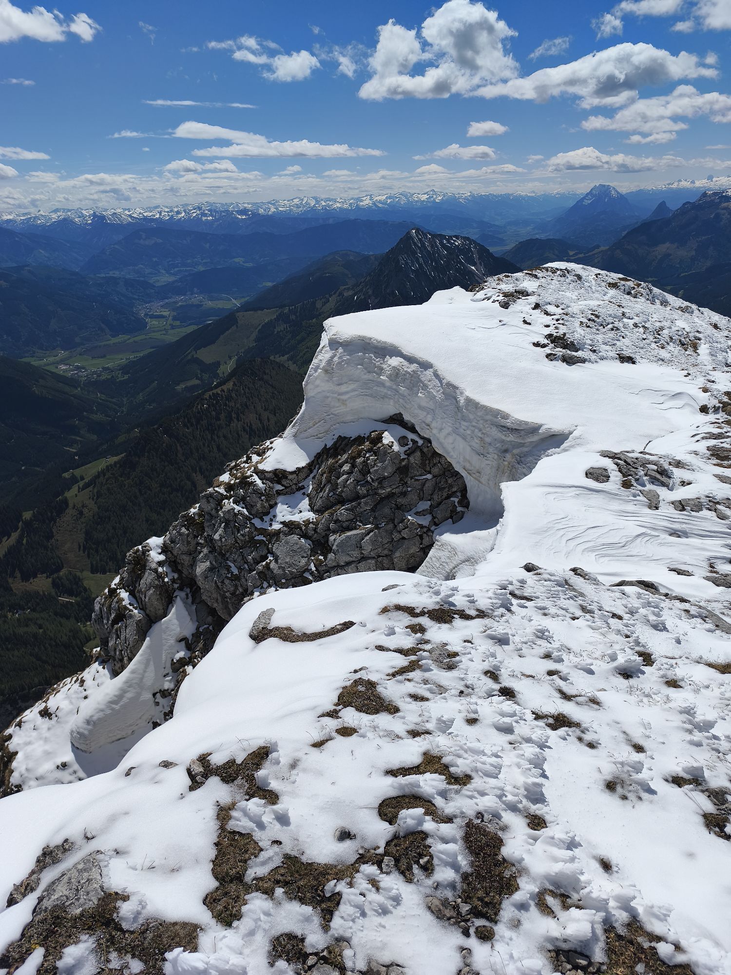
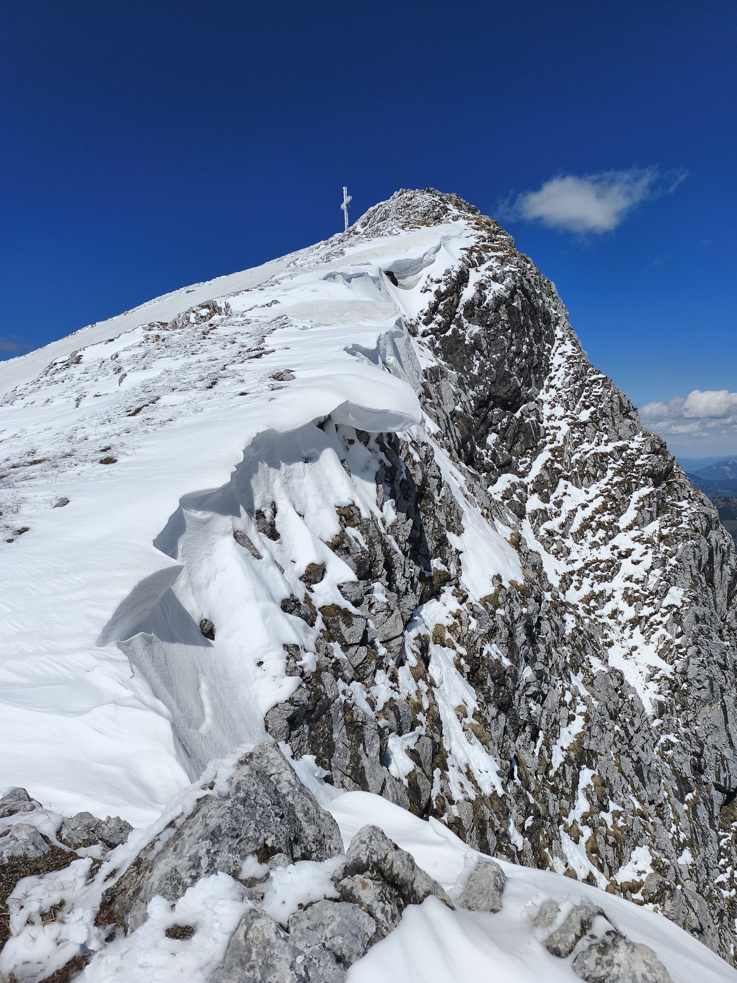
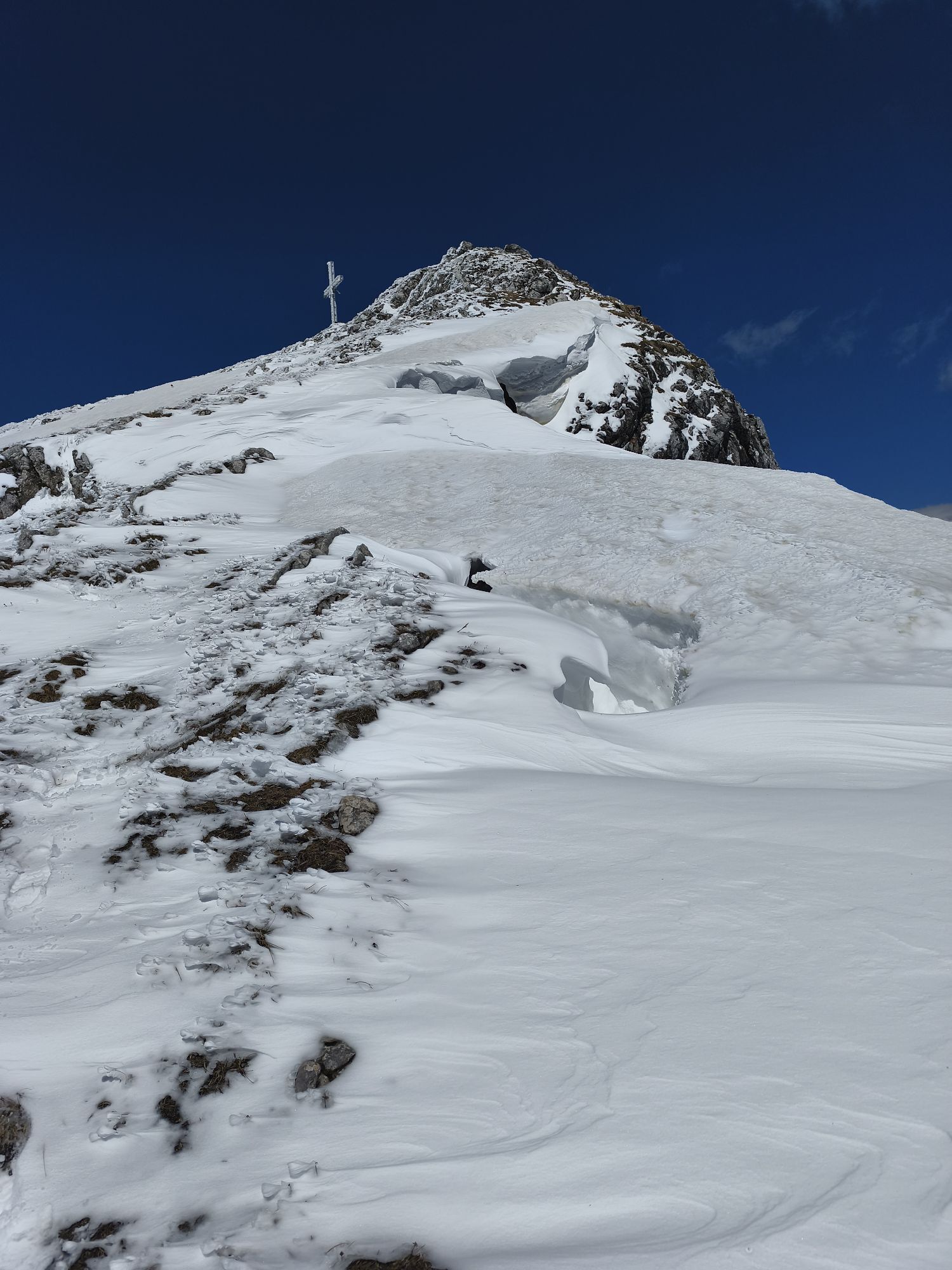
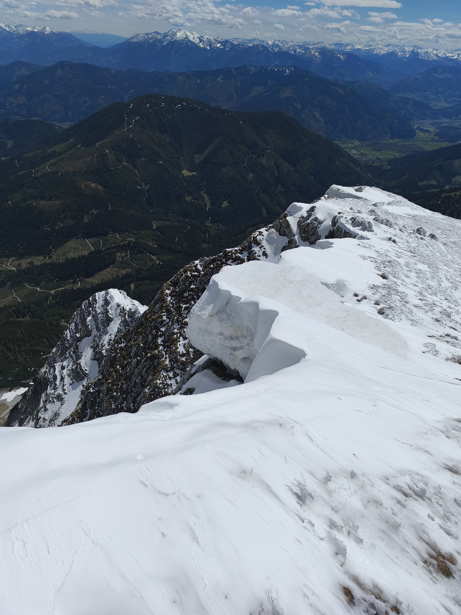
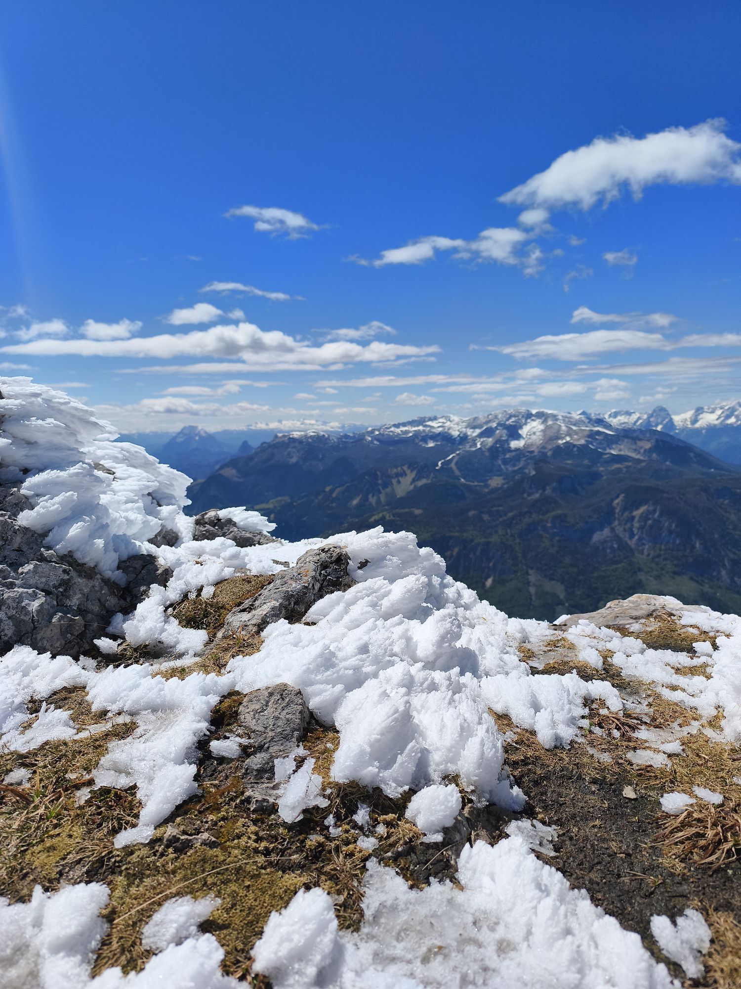
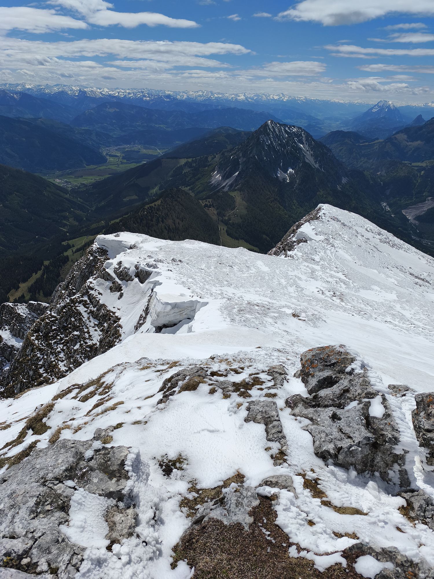
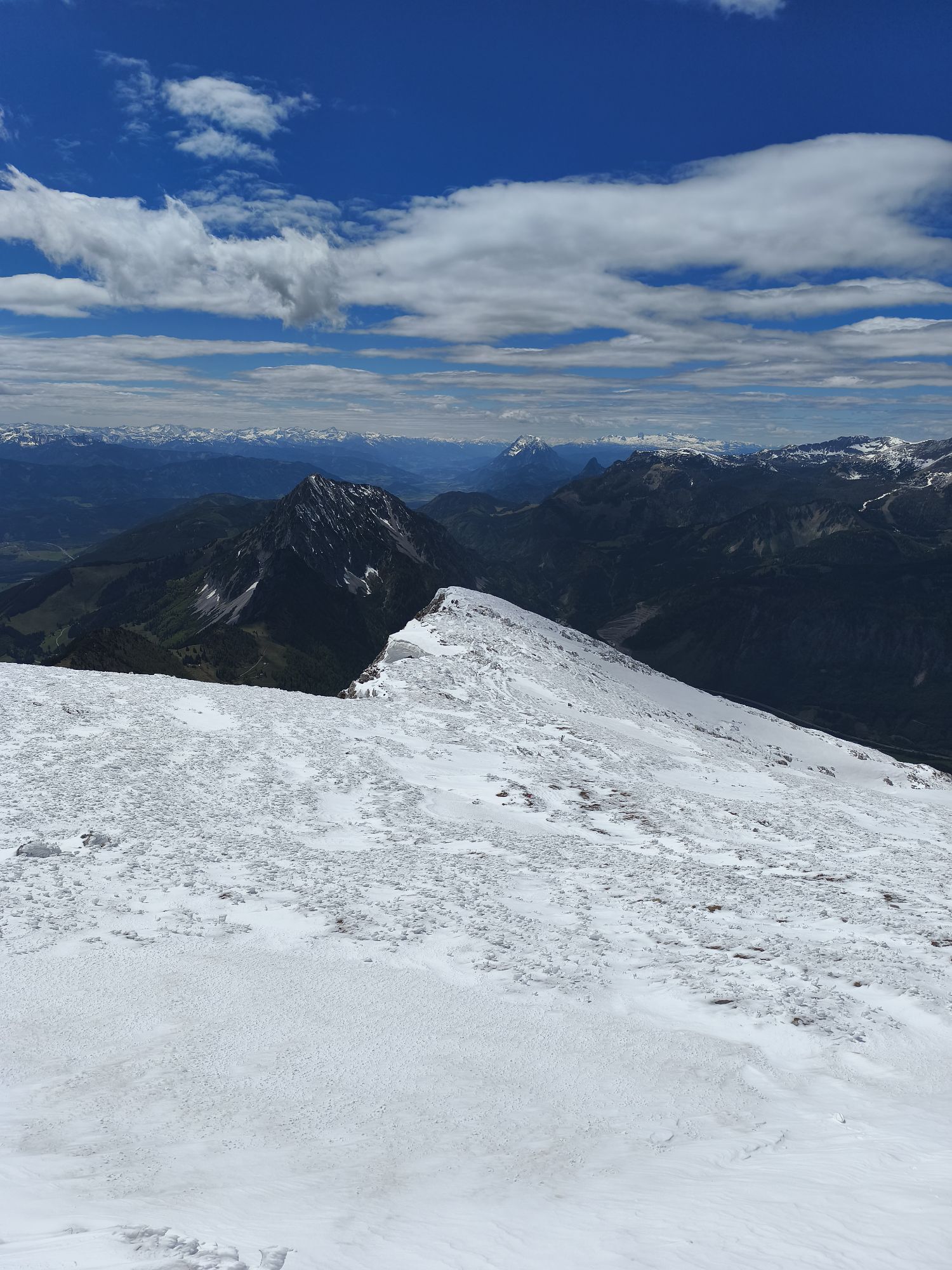
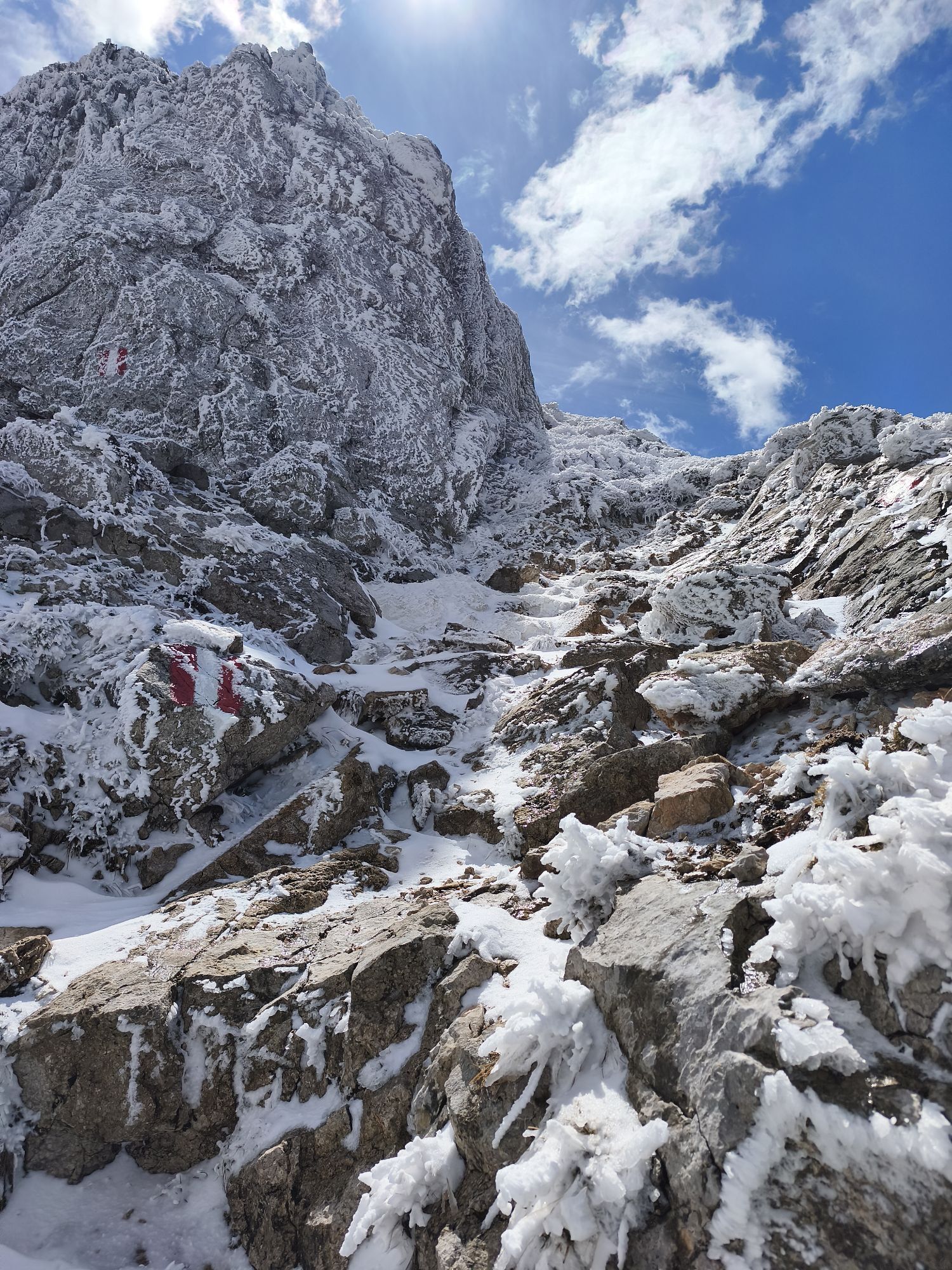
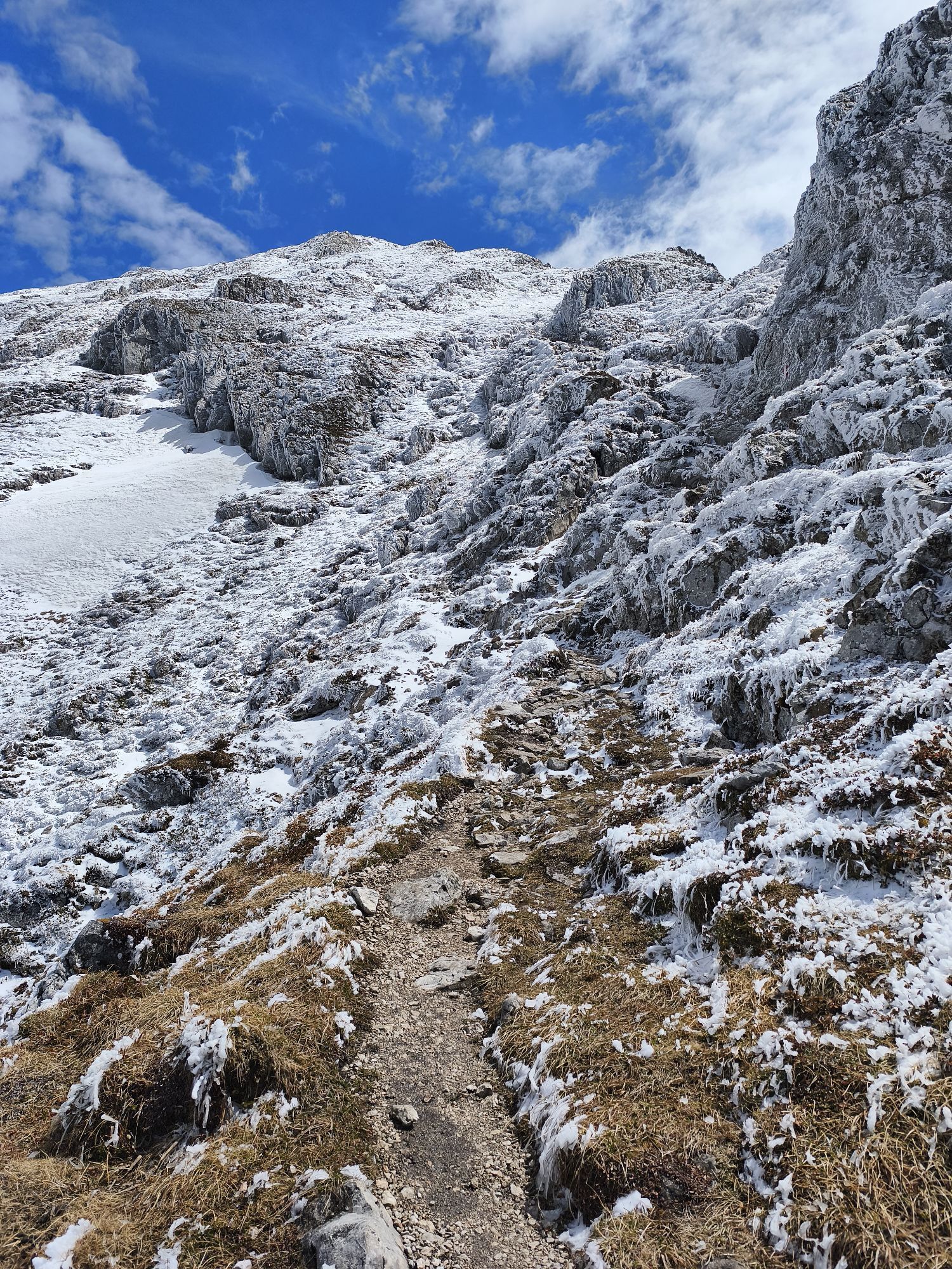
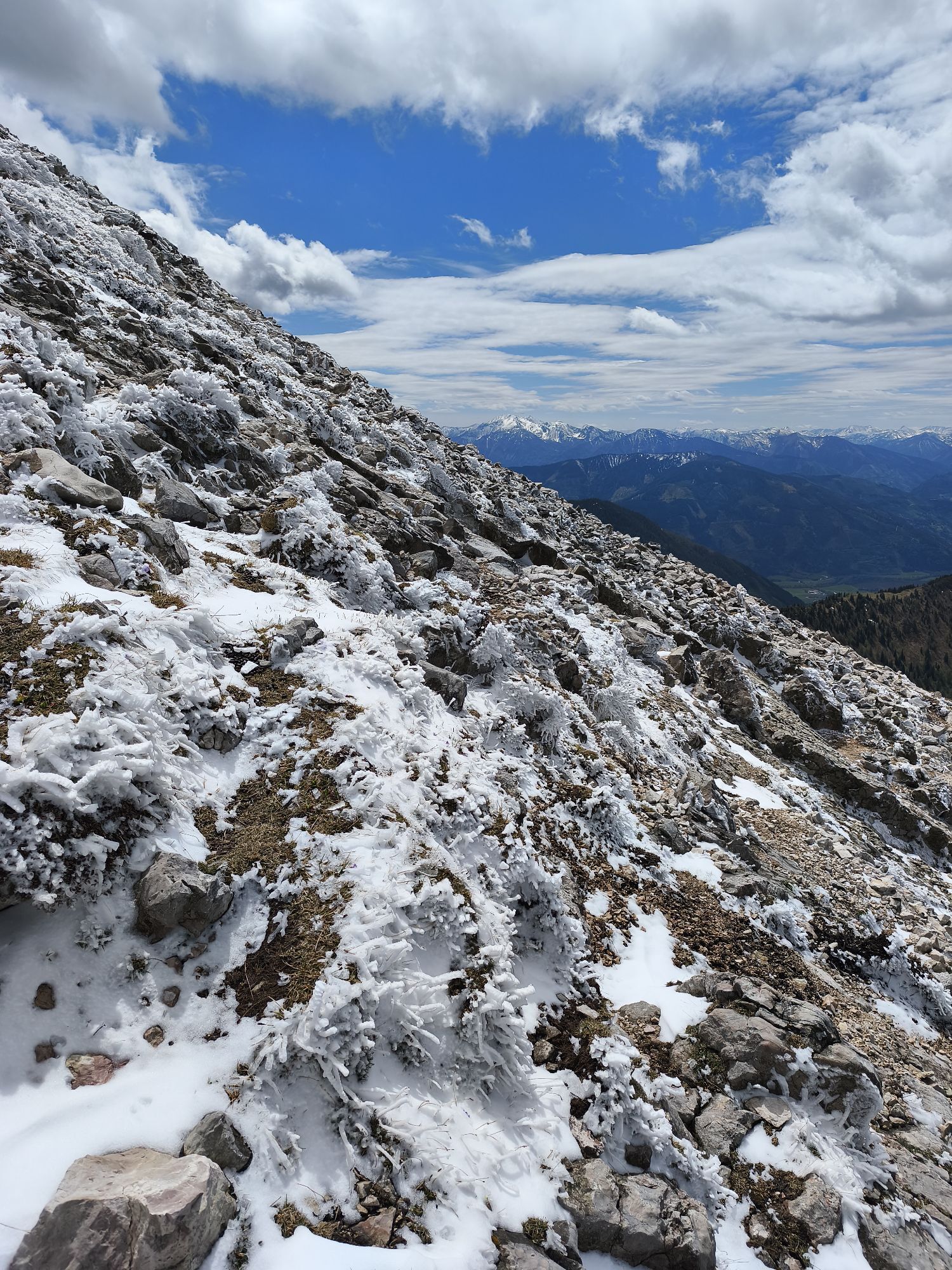
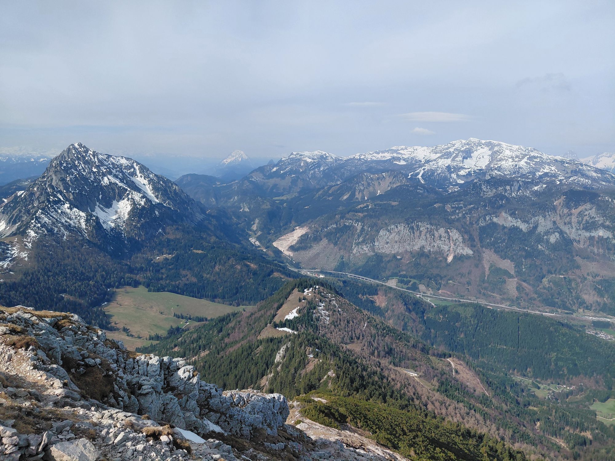
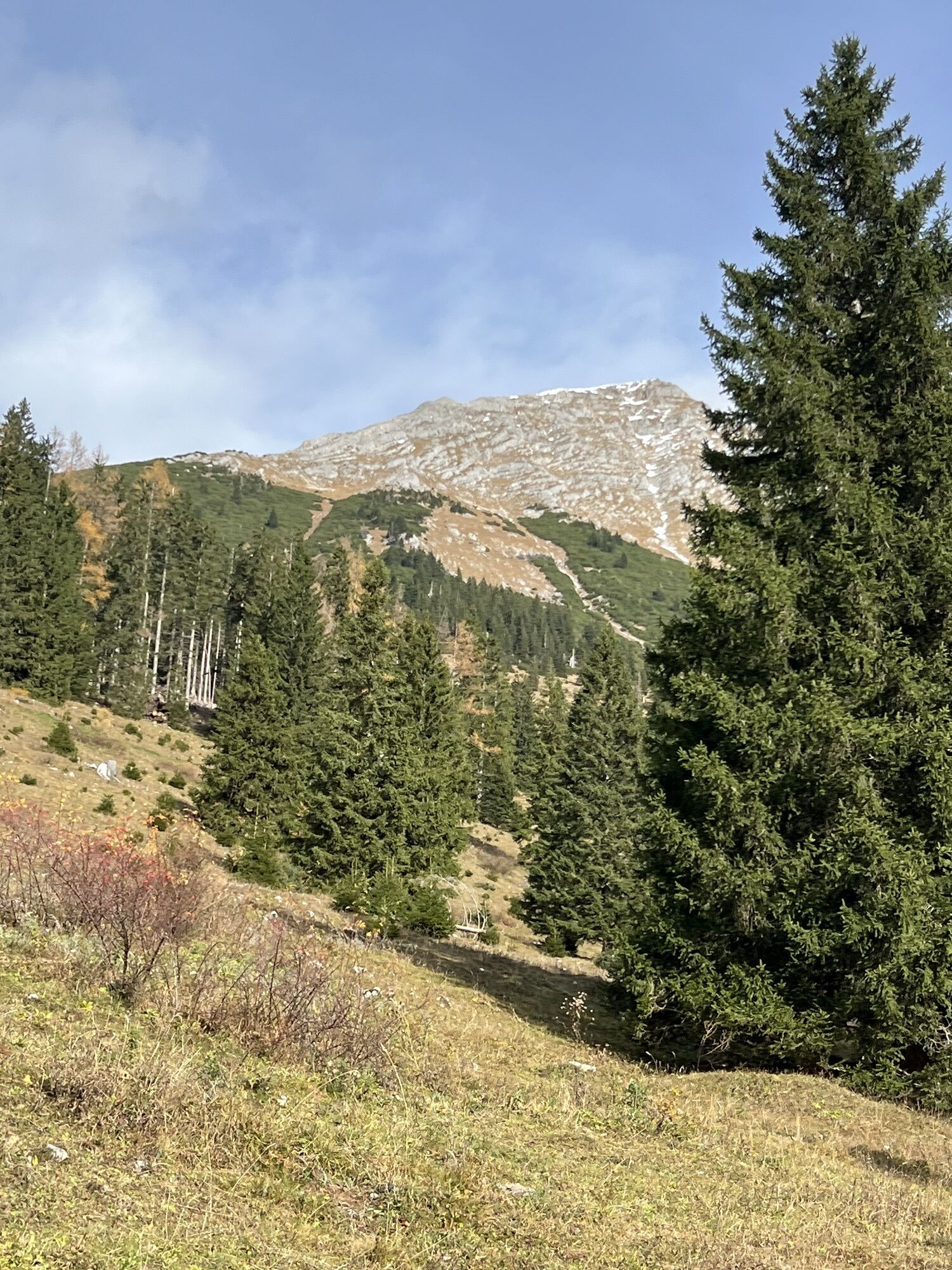
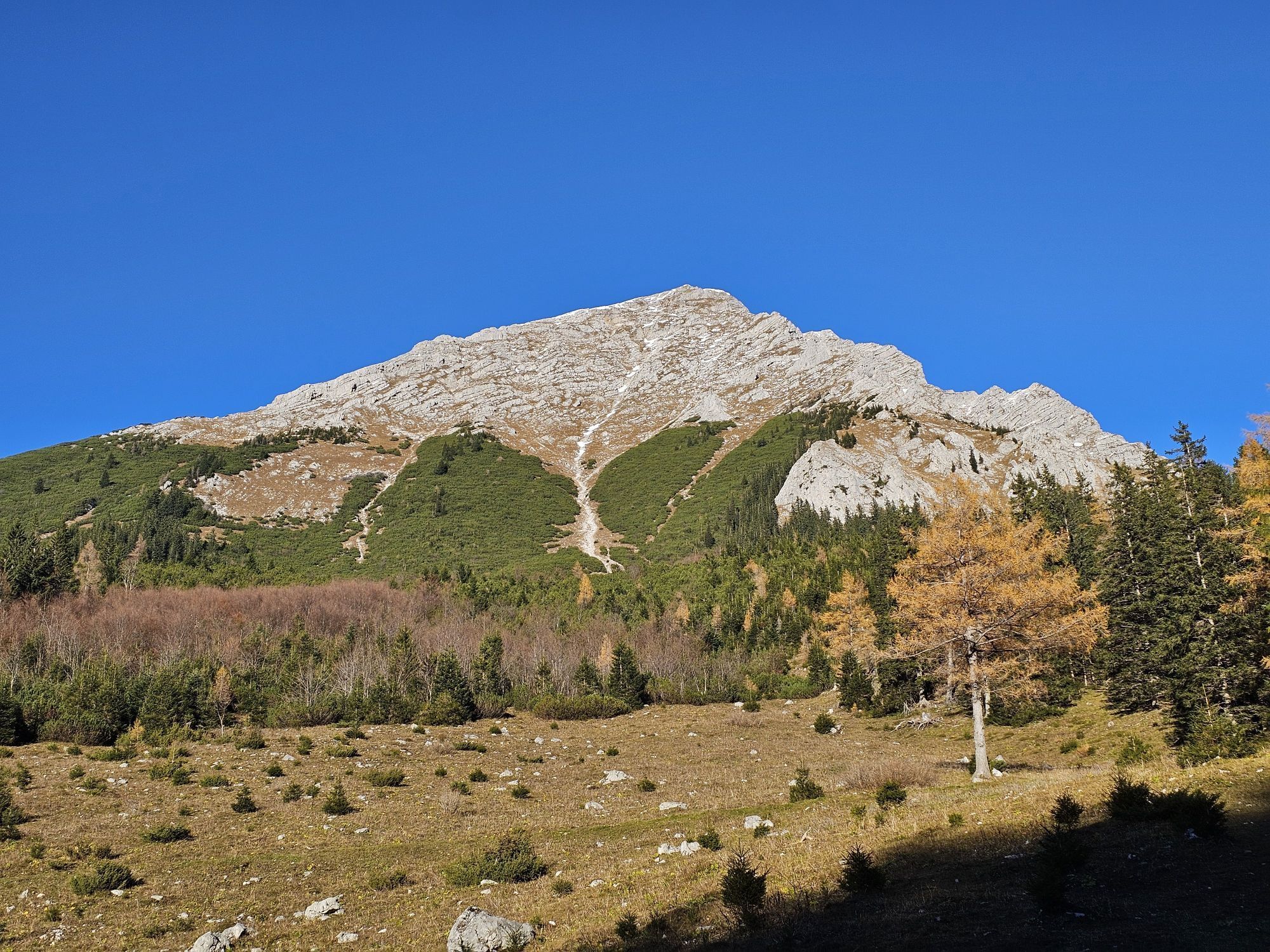
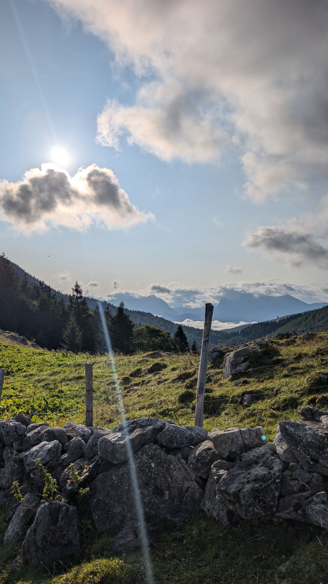
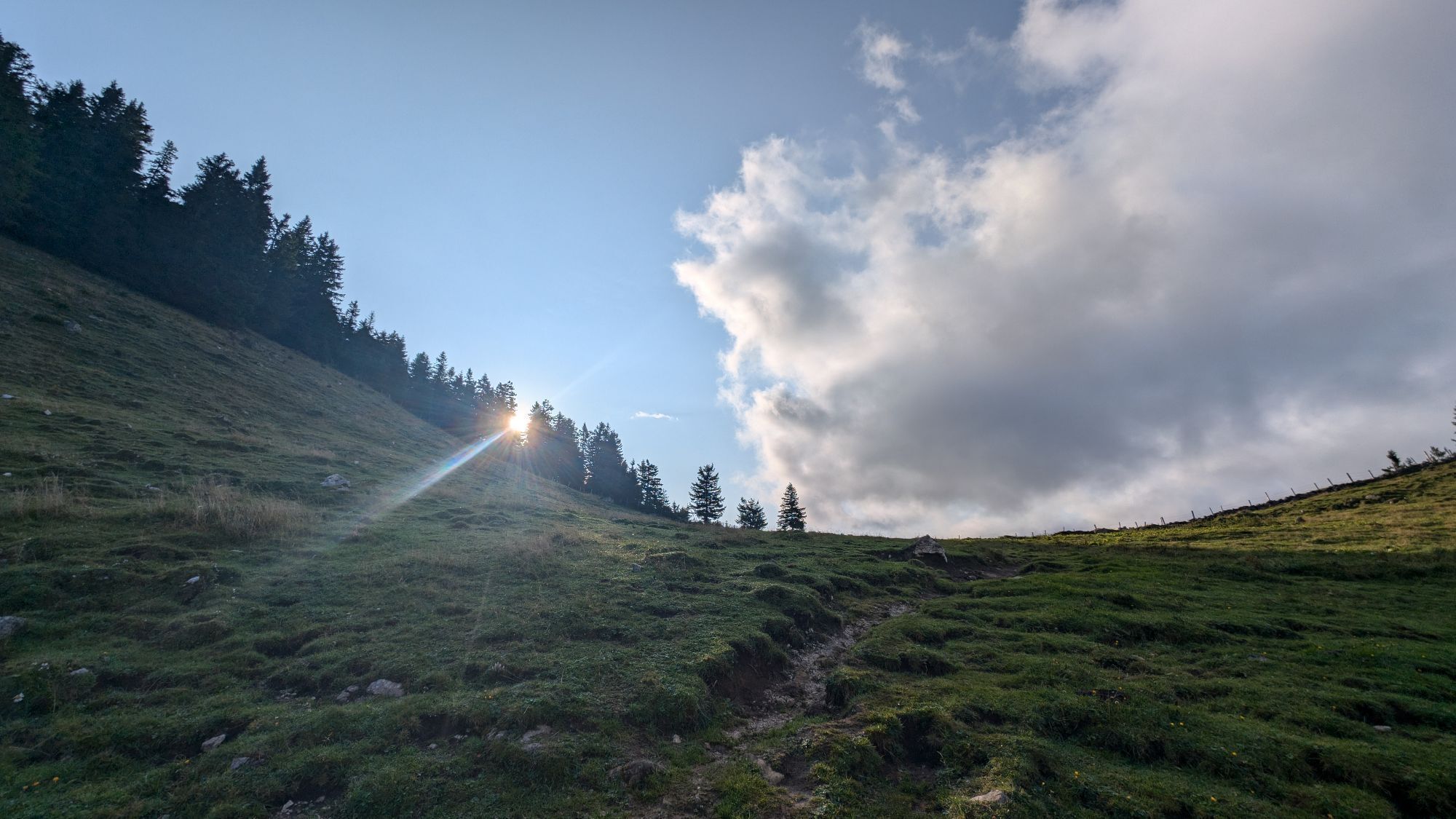
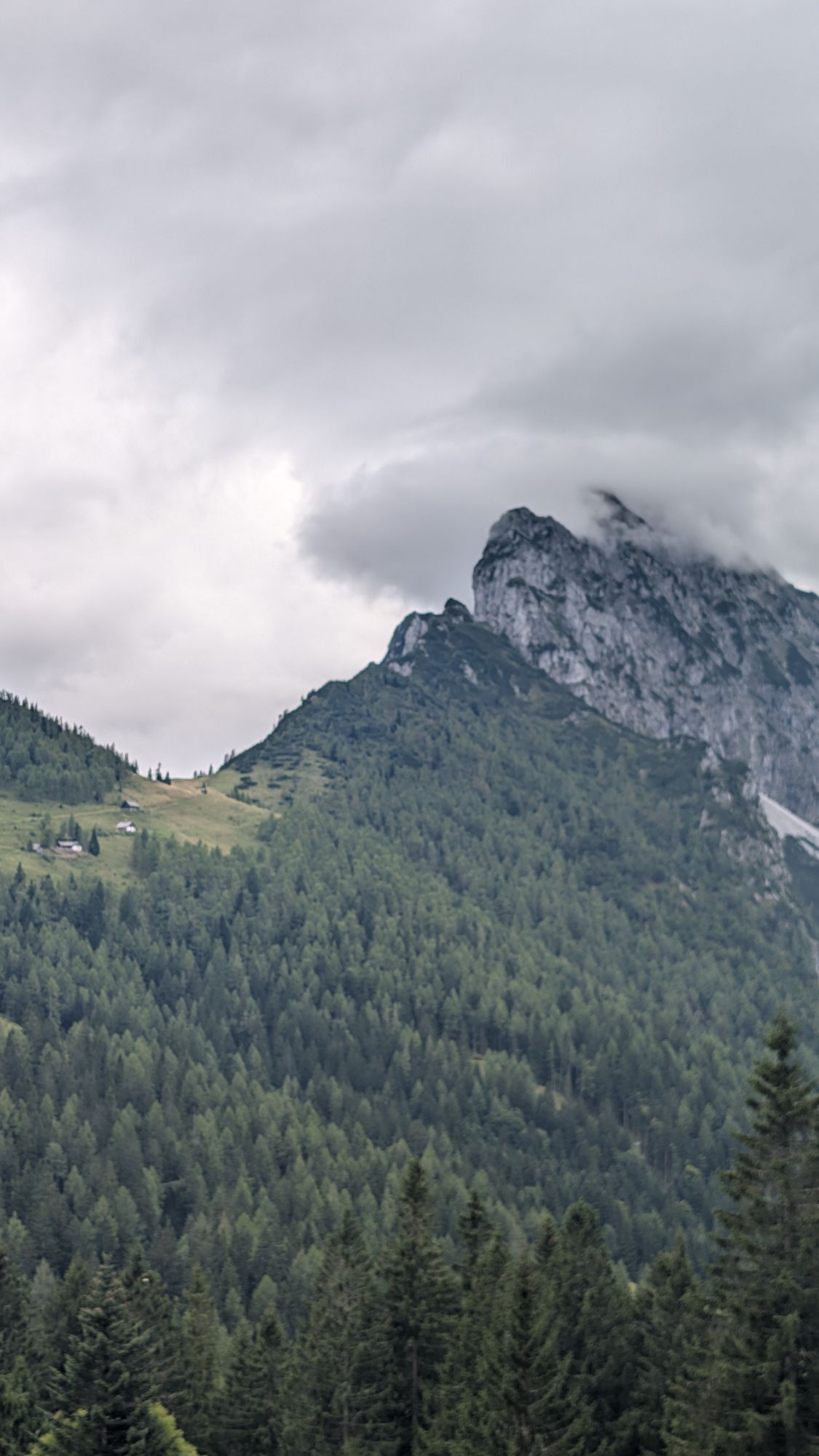
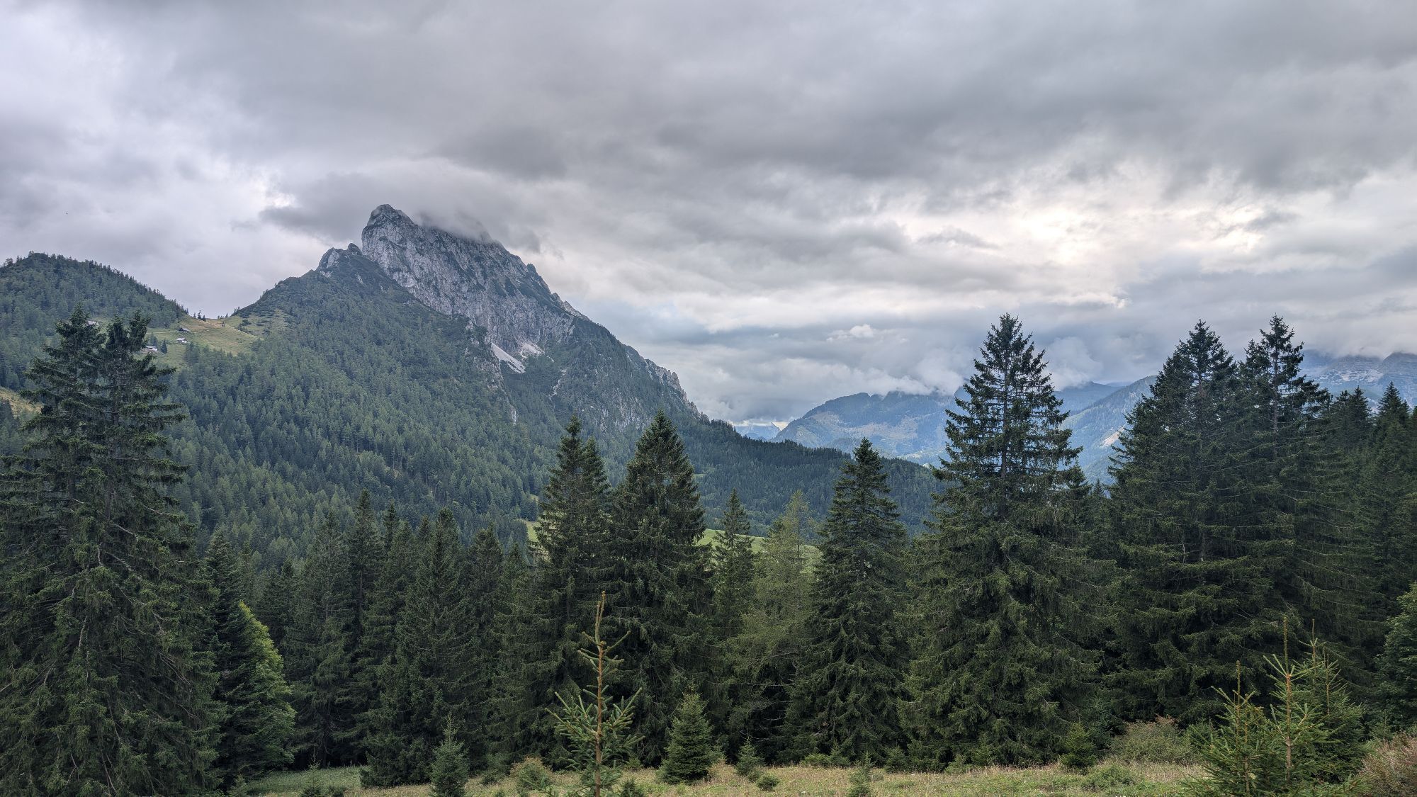
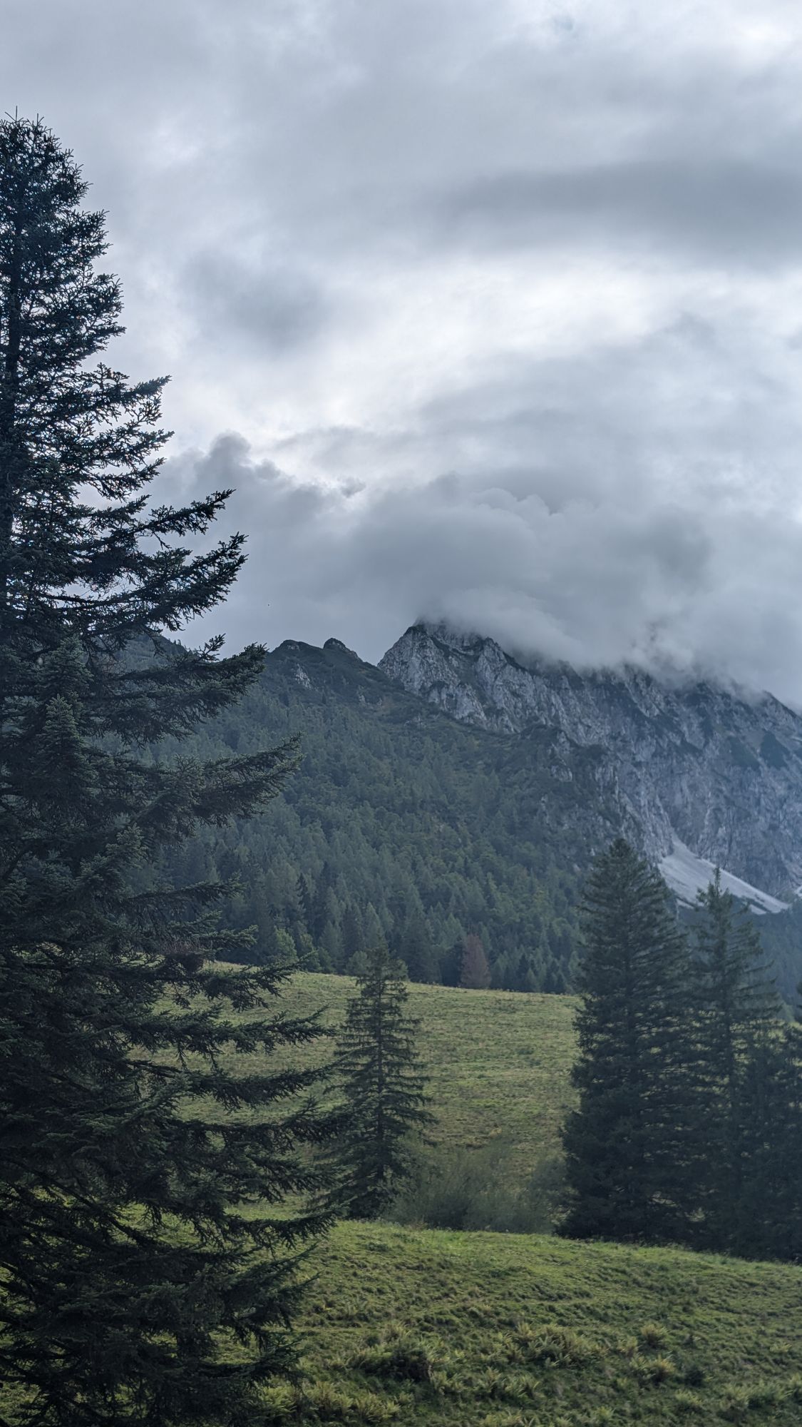
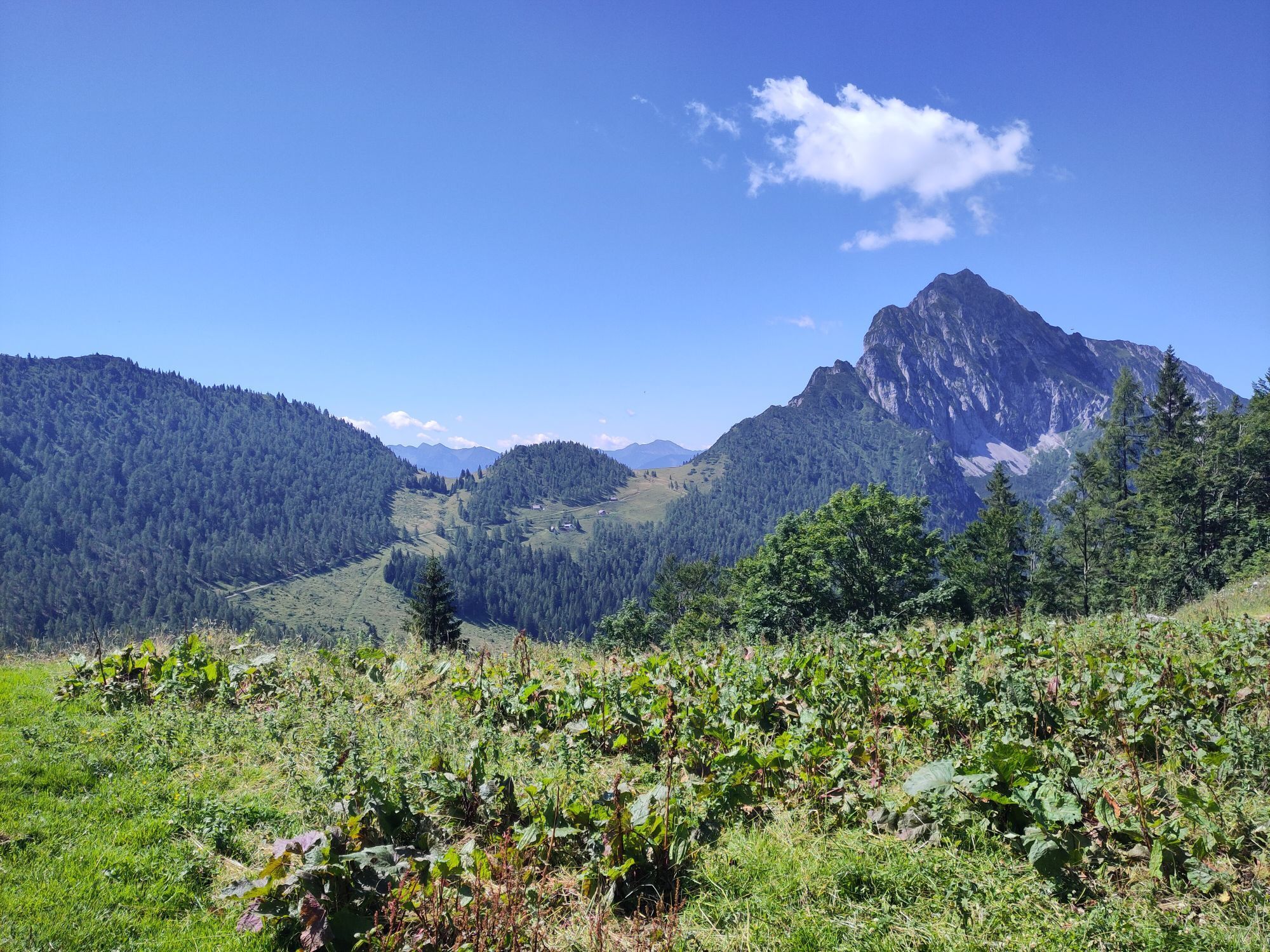
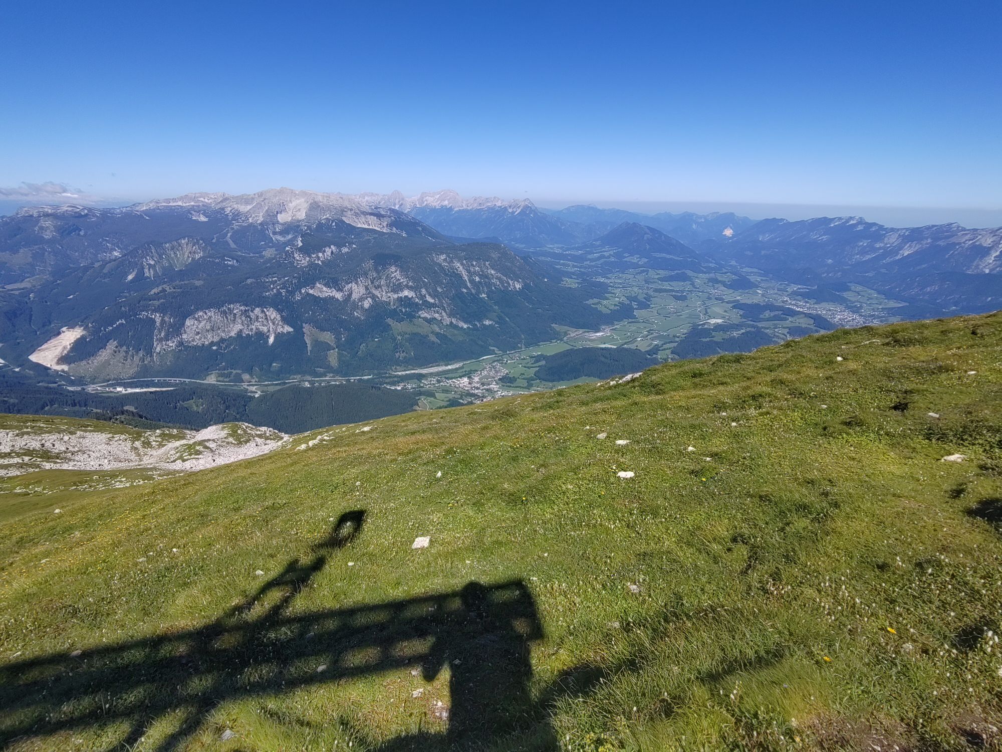
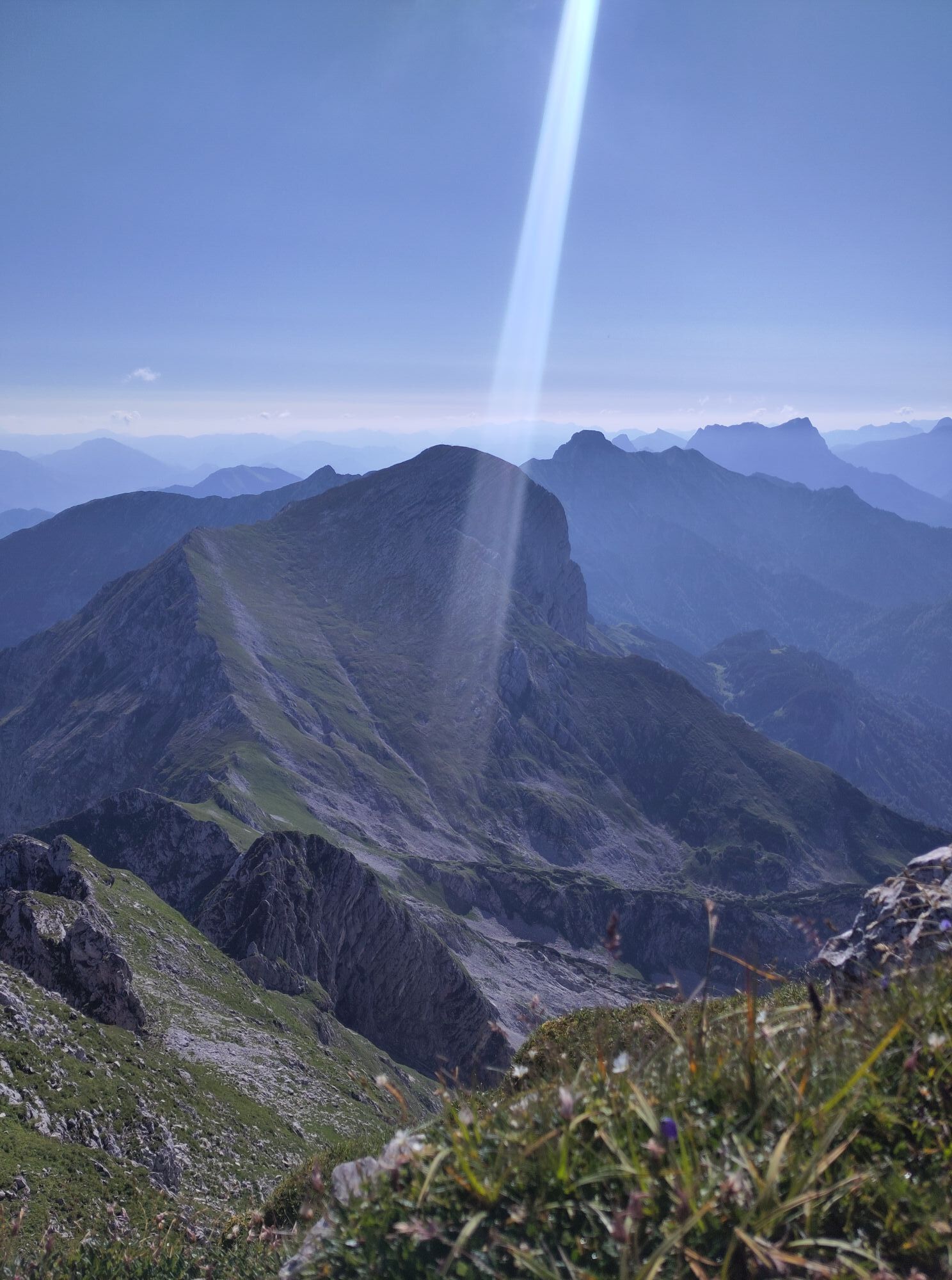
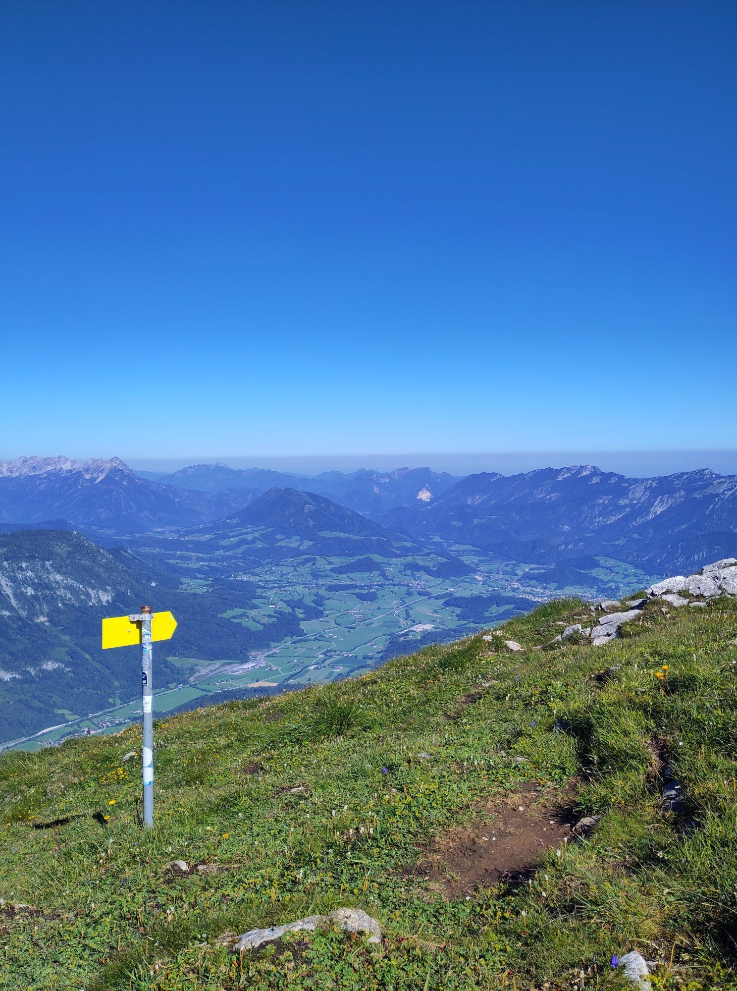
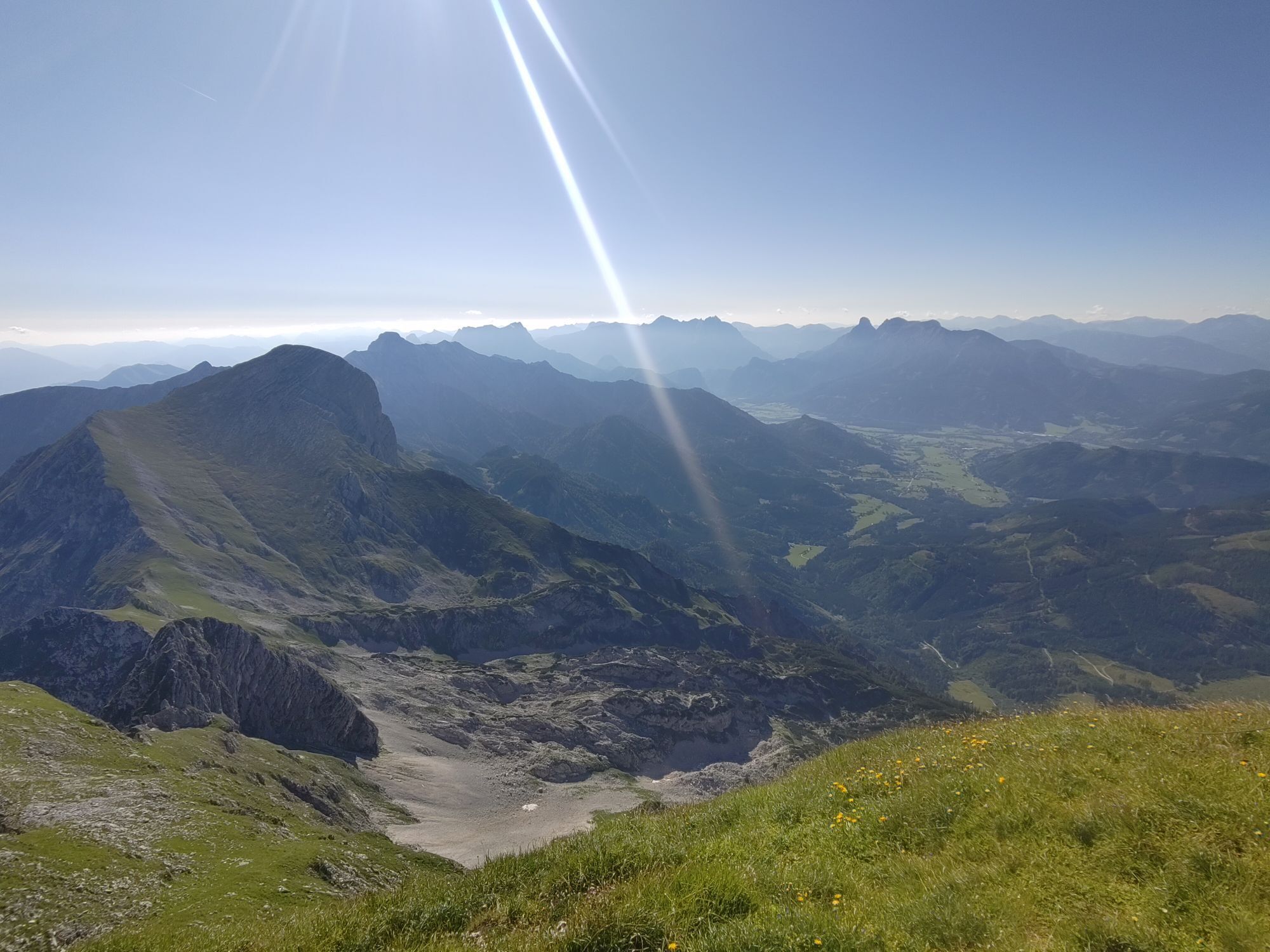
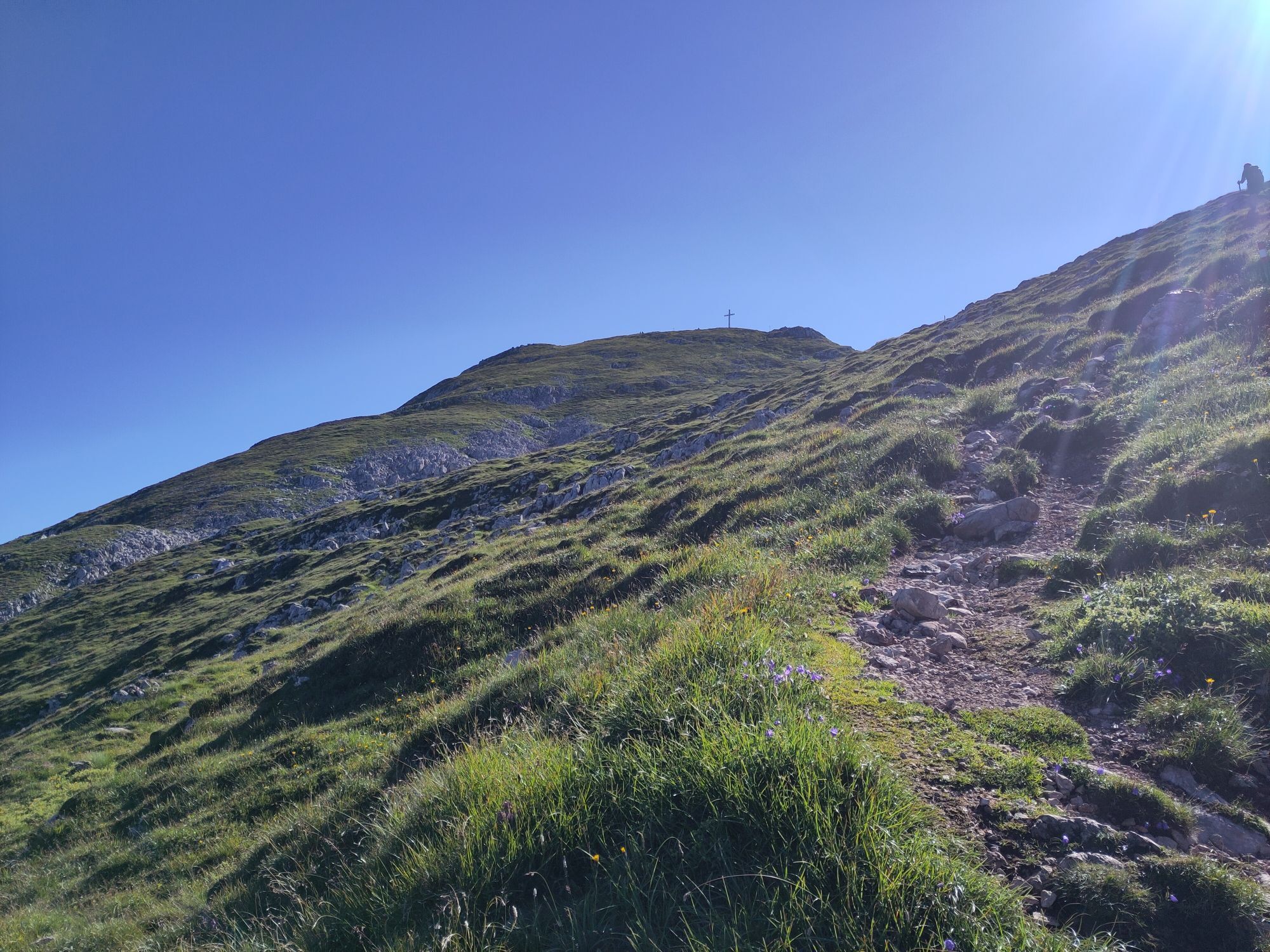
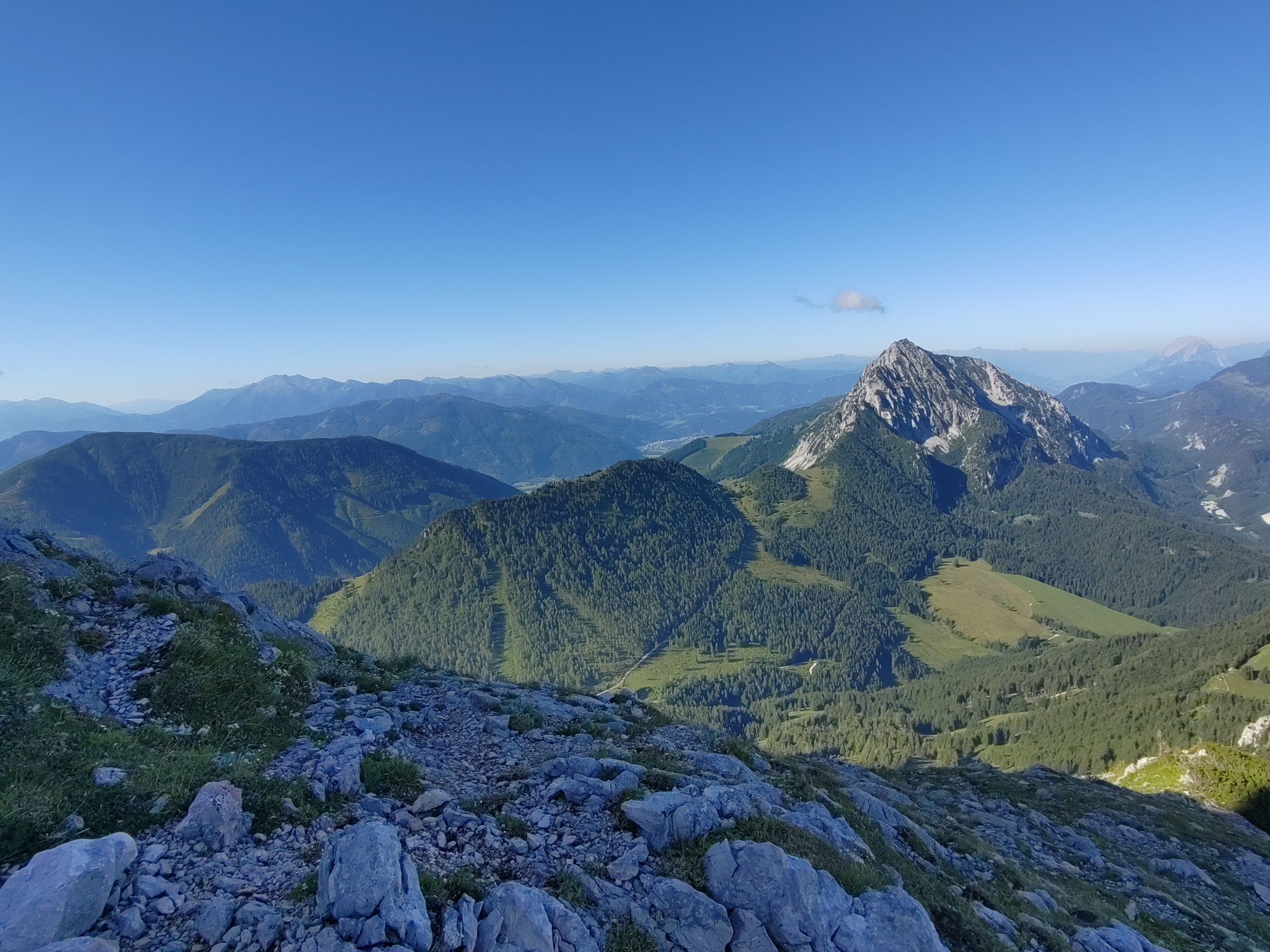
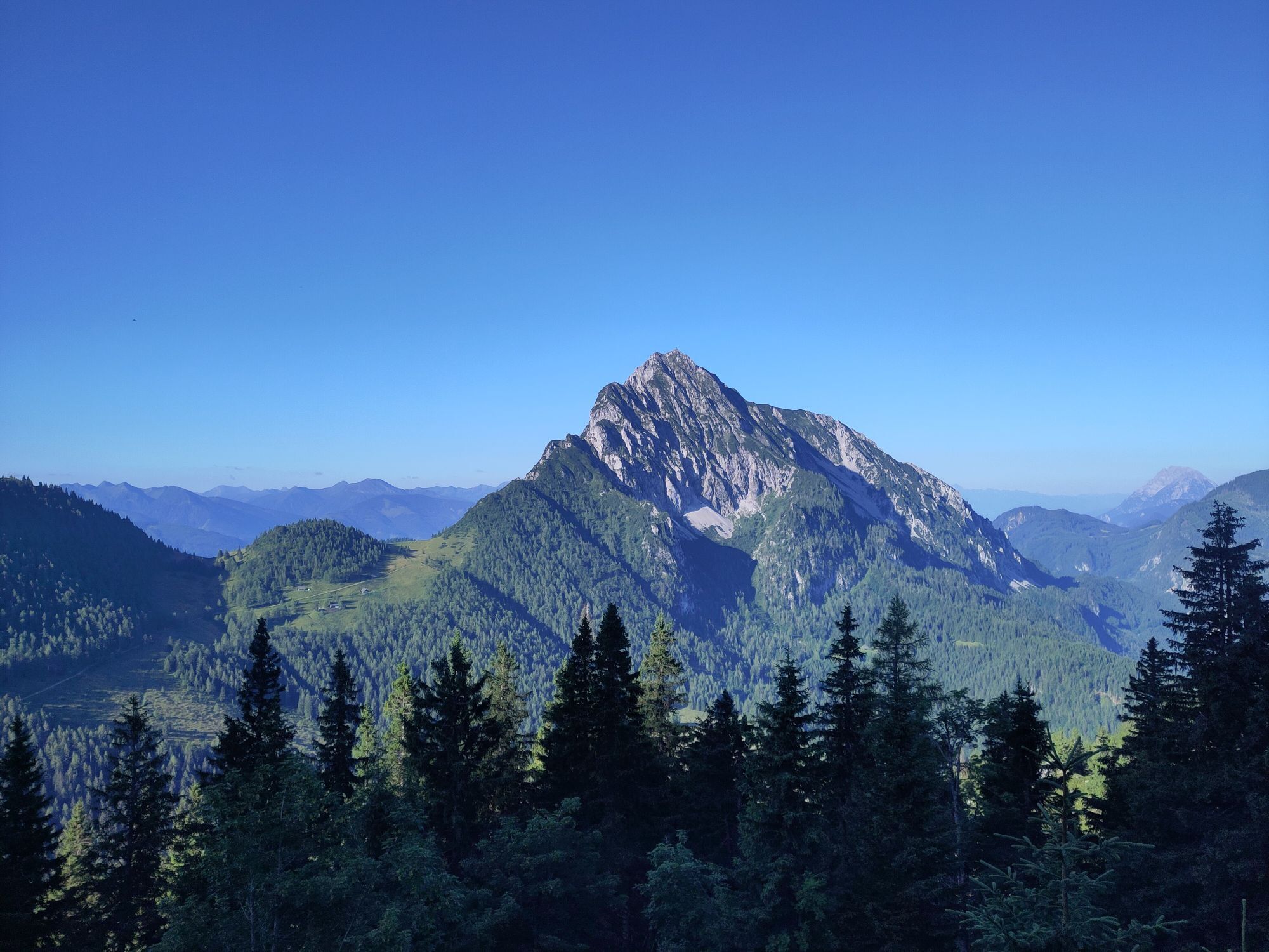
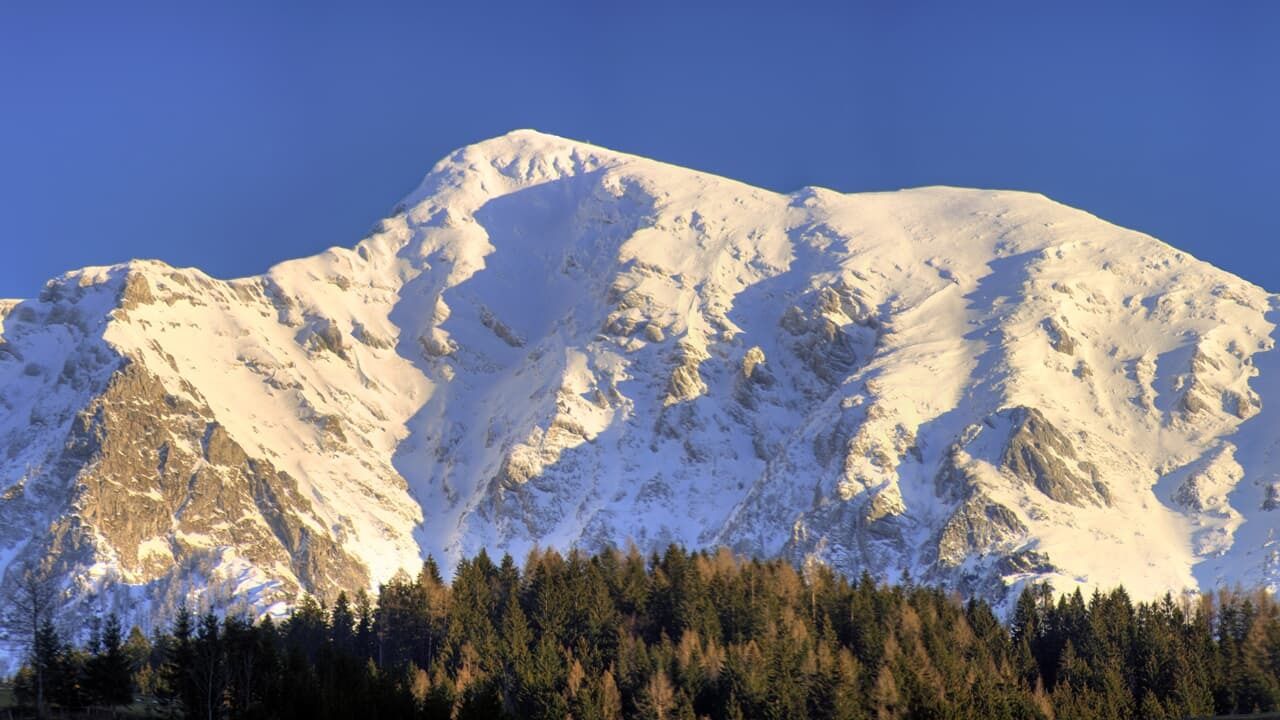
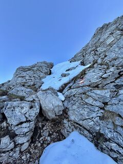
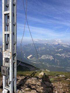
Bald erreicht man das Pyhrgasgatterl, durch das die steirisch-oberösterreichische Landesgrenze verläuft. Der Landesgrenze nordwärts über den Hofersteig (Weg Nr. 615) folgend kommt man erst durch bewaldetes Gebiet, das später in ein schroffes Gelände übergeht. Der Steig zieht steil zum Vorgipfel hinauf. Sobald man die Unterstandshöhle erreicht hat, wird der Weg wieder etwas bequemer und bald hat man den Gipfel des Großen Pyhrgas (2244 m) erreicht. An klaren Tagen hat man von hier eine fantastische Fernsicht!
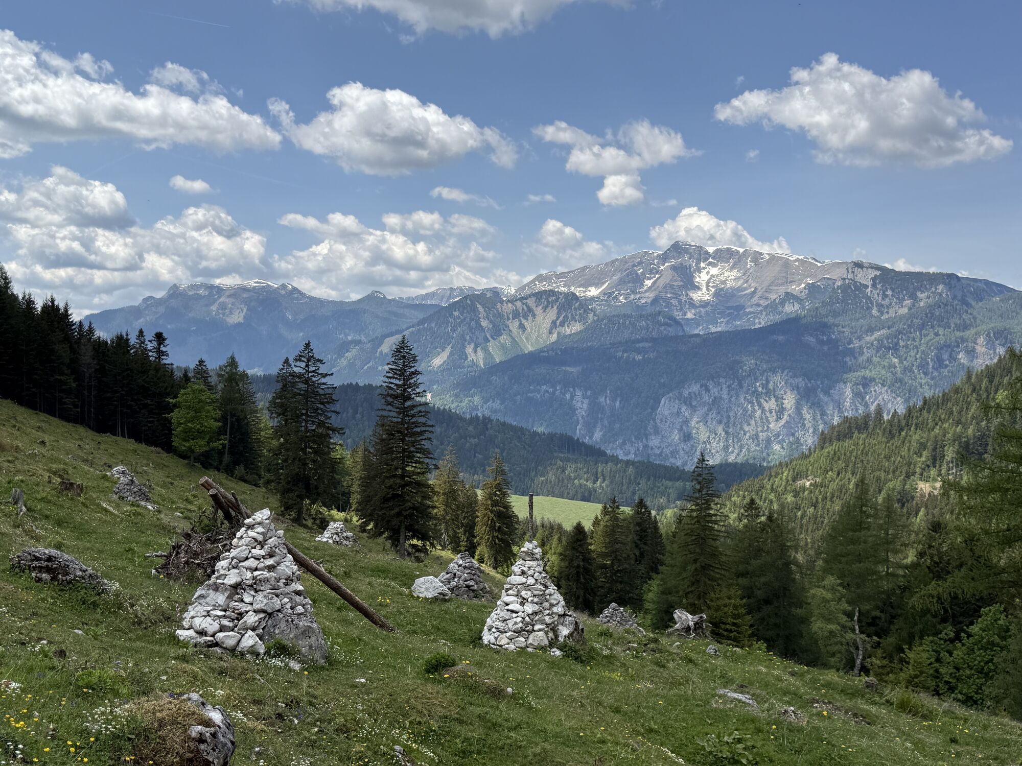
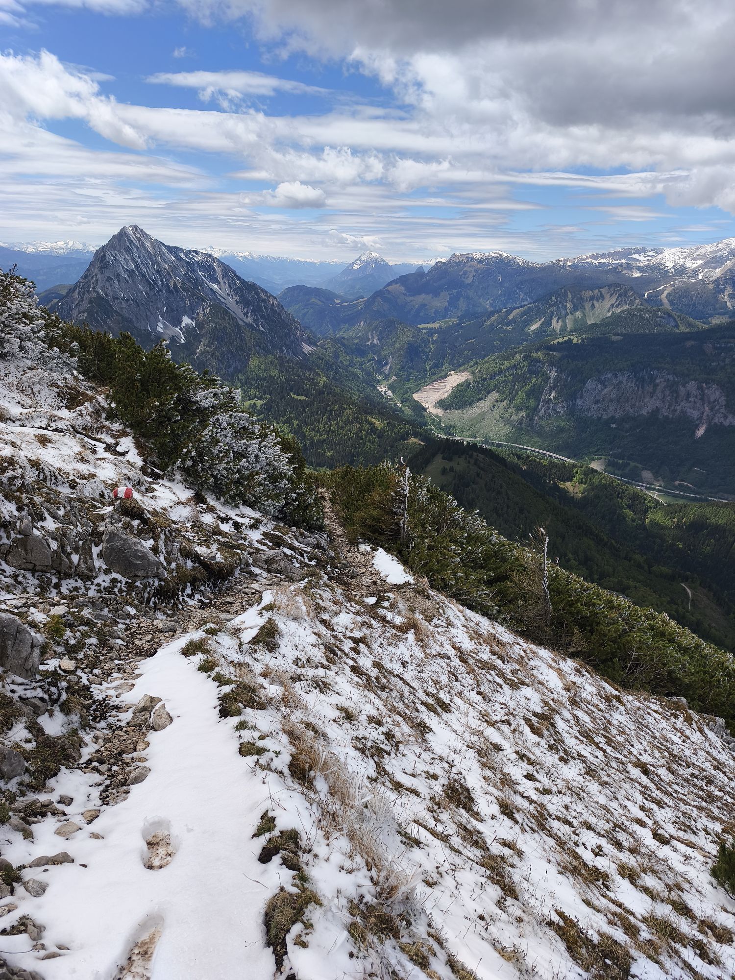
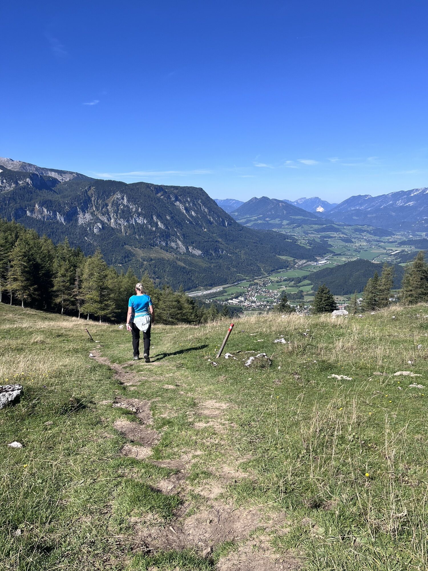
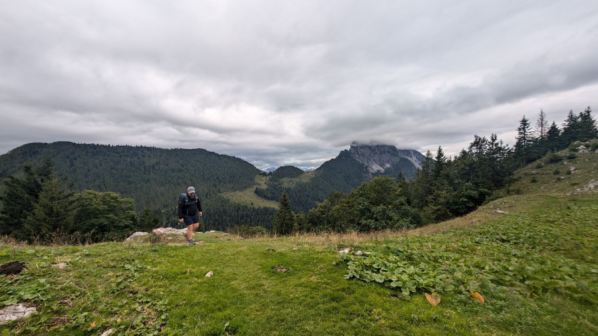
Der Abstieg erfolgt bis zur Unterstandshöhle am Aufstiegsweg. Bei der Wegkreuzung steigt man nach rechts ab und wandert stetig bergab zum Hofalmsattel (ca. 1425 m, Weg Nr. 614). Hier geht’s links weiter zur schönen Hiaslalm (ca. 1280 m) und kurz darauf trifft man auf die Schotterstraße, die zurück zum Ausgangspunkt führt.

Bosruckhütte, Rohrauerhütte;
Wanderkarte Pyhrn-Priel erhätlich in allen Pyhrn-Priel Tourismusbüros!
Oui
Von der A9 bei Spital am Pyhrn abfahren und in den Ort hinein. Vor der Kirche hält man sich rechts und gelangt so zum Gasthaus Grünau. An diesem vorbei und über die Bergstraße zum Parkplatz bei der Bosruckhütte.
Webcams de la tournée
Activités le long du parcours
-

GROSSER PYHRGAS (2.244m) von der Bosruckhütte via Hofersteig rauf und Normalweg runter
29.05.2026 – Randonnée -

Spital am Pyhrn, Oberösterreich/Österreich
15.05.2026 – Randonnée d'altitude -

Spital am Pyhrn, Oberösterreich/Österreich
15.11.2025 – Randonnée -


Spital am Pyhrn, Oberösterreich/Österreich
11.11.2025 – Randonnée -

Spital am Pyhrn, Oberösterreich/Österreich
25.10.2025 – Randonnée -
Spital am Pyhrn, Oberösterreich/Österreich
11.09.2025 – Randonnée -
Spital am Pyhrn, Oberösterreich/Österreich
09.09.2025 – Randonnée -

Spital am Pyhrn, Oberösterreich/Österreich
26.08.2025 – Randonnée -

Spital am Pyhrn, Oberösterreich/Österreich
24.08.2025 – Randonnée en montagne -

Spital am Pyhrn, Oberösterreich/Österreich
30.06.2025 – Randonnée -

Großer Pyhrgas übern Hofersteig rauf
15.06.2025 – Randonnée -

Spital am Pyhrn, Oberösterreich/Österreich
13.01.2025 – Randonnée -

Spital am Pyhrn, Oberösterreich/Österreich
08.09.2024 – Randonnée -

Großer Pyhrgas
18.05.2024 – Randonnée -
Großer Pyhrgas
06.01.2023 – Randonnée -
Großer Pyhrgas
14.05.2022 – Randonnée -
Spital am Pyhrn, Österreich
04.10.2020 – Randonnée
Parcours populaires à proximité
-
4,4
Spital am Pyhrn: Wurzeralm - Dümlerhütte - Rote Wand
moyenRandonnée 10,1 km -
4,3
Wurzeralm NaturErlebnisWelt - 2 Millionen Jahren in 2 Stunden
Randonnée 6,09 km -
4,9
Nazogel und Angerkogel
moyenRandonnée 10,9 km -
4,2
Rund um den Gleinkersee
Randonnée 1,70 km -
4,5
Von der Bosruckhütte auf den Großen Pyhrgas
difficileRandonnée 9,57 km -
3,9
Dr. Vogelgesang-Klamm
facileRandonnée 2,67 km -
4,4
Grabneralm und Grabnerstein
moyenRandonnée 13,5 km -
4,0
Vorderstoder - Zellerhütte
moyenRandonnée 11,1 km -
4,8
3-Gipfeltour auf den Admonter Kalbling, Sparafeld und Riffel von der Oberst Klinkehütte
moyenRandonnée 8,13 km -
4,8
Kreuzkogel - Rifflspitz - Sparafeld - Admonter Kalbling
moyenTrail running 18,4 km

Randonnée et suivi


Ne manquez pas les offres et l'inspiration pour vos prochaines vacances
Votre adresse électronique a été ajouté à la liste de diffusion.