


Hohe Dirn
Niveau de difficulté: T2
Photos de nos utilisateurs
 © JordyCréé le 11.01.2025
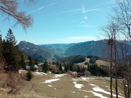
 © Lisa Pimminger 1Créé le 05.04.2026
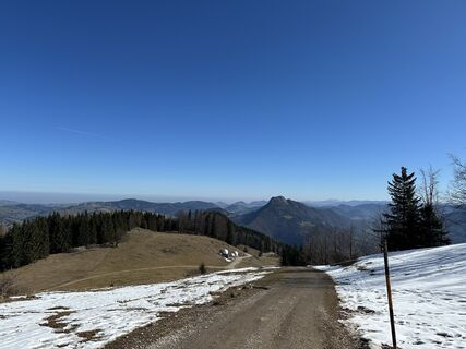
 © Santin JuergenCréé le 05.03.2026
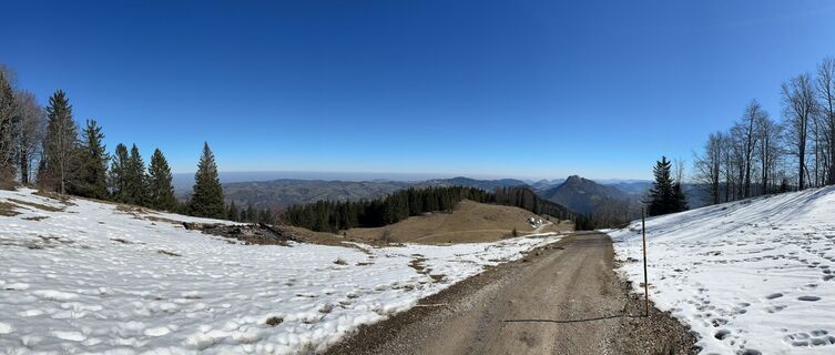 © Santin JuergenCréé le 05.03.2026
 © Santin JuergenCréé le 05.03.2026
 © Petra RieglerCréé le 22.01.2026
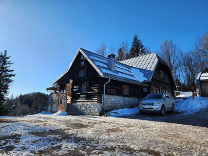 © Petra RieglerCréé le 22.01.2026
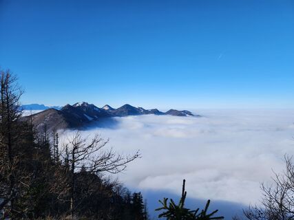 © Petra RieglerCréé le 22.01.2026
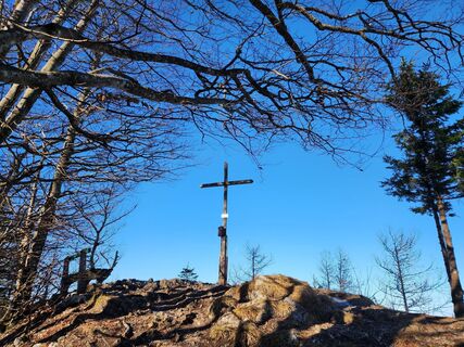 © Petra RieglerCréé le 22.01.2026
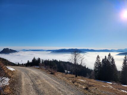 © Petra RieglerCréé le 22.01.2026
 © Petra RieglerCréé le 22.01.2026
 © Johann SchörkhuberCréé le 14.12.2025
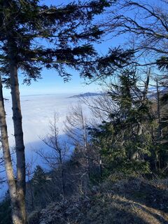 © Johann SchörkhuberCréé le 14.12.2025
 © Johann SchörkhuberCréé le 14.12.2025
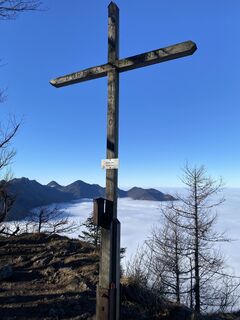 © Johann SchörkhuberCréé le 14.12.2025
 © Johann SchörkhuberCréé le 14.12.2025
 © Johann SchörkhuberCréé le 14.12.2025
 © Berg NoarCréé le 08.12.2025
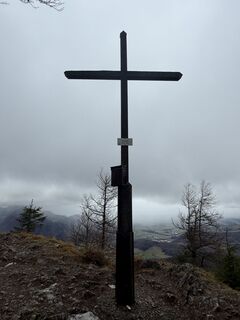 © Berg NoarCréé le 08.12.2025
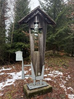 © Berg NoarCréé le 08.12.2025
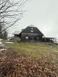 © Berg NoarCréé le 08.12.2025
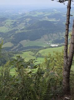
 © Hermann GösslerCréé le 09.09.2025
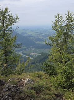 © Hermann GösslerCréé le 09.09.2025
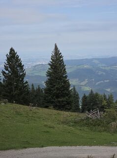 © Hermann GösslerCréé le 09.09.2025
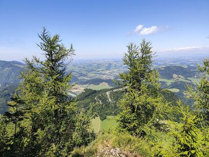
 © Edith K.Créé le 19.07.2025
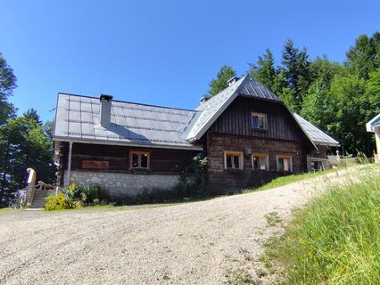 © Edith K.Créé le 19.07.2025
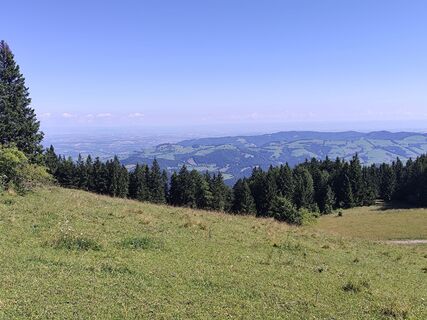 © Edith K.Créé le 19.07.2025
 © Edith K.Créé le 19.07.2025
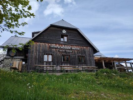
 © Angelika SilberhuberCréé le 27.05.2025
 © Angelika SilberhuberCréé le 27.05.2025
 © das-gipfelbuch.atCréé le 20.04.2025
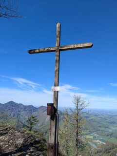 © das-gipfelbuch.atCréé le 20.04.2025
 © das-gipfelbuch.atCréé le 20.04.2025
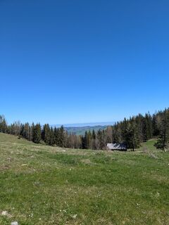 © das-gipfelbuch.atCréé le 20.04.2025
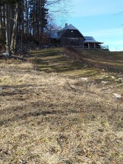 © Michaels bergfexCréé le 04.03.2025
 © Thomas 60Créé le 30.12.2024
 © Romana HinterbichlerCréé le 09.01.2024
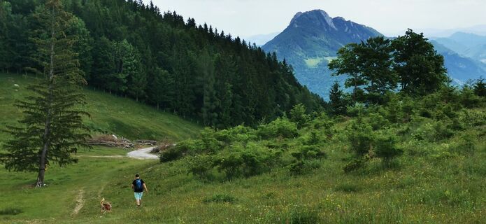
 © Klaus LehnerCréé le 16.06.2023
 © Klaus LehnerCréé le 16.06.2023
 © Klaus LehnerCréé le 16.06.2023
 © Klaus LehnerCréé le 16.06.2023
 © Klaus LehnerCréé le 16.06.2023
 © Klaus LehnerCréé le 16.06.2023
 © Klaus LehnerCréé le 16.06.2023
 © Klaus LehnerCréé le 16.06.2023
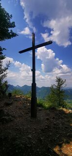 © Klaus LehnerCréé le 16.06.2023
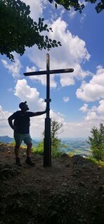 © Klaus LehnerCréé le 16.06.2023
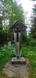 © Klaus LehnerCréé le 16.06.2023


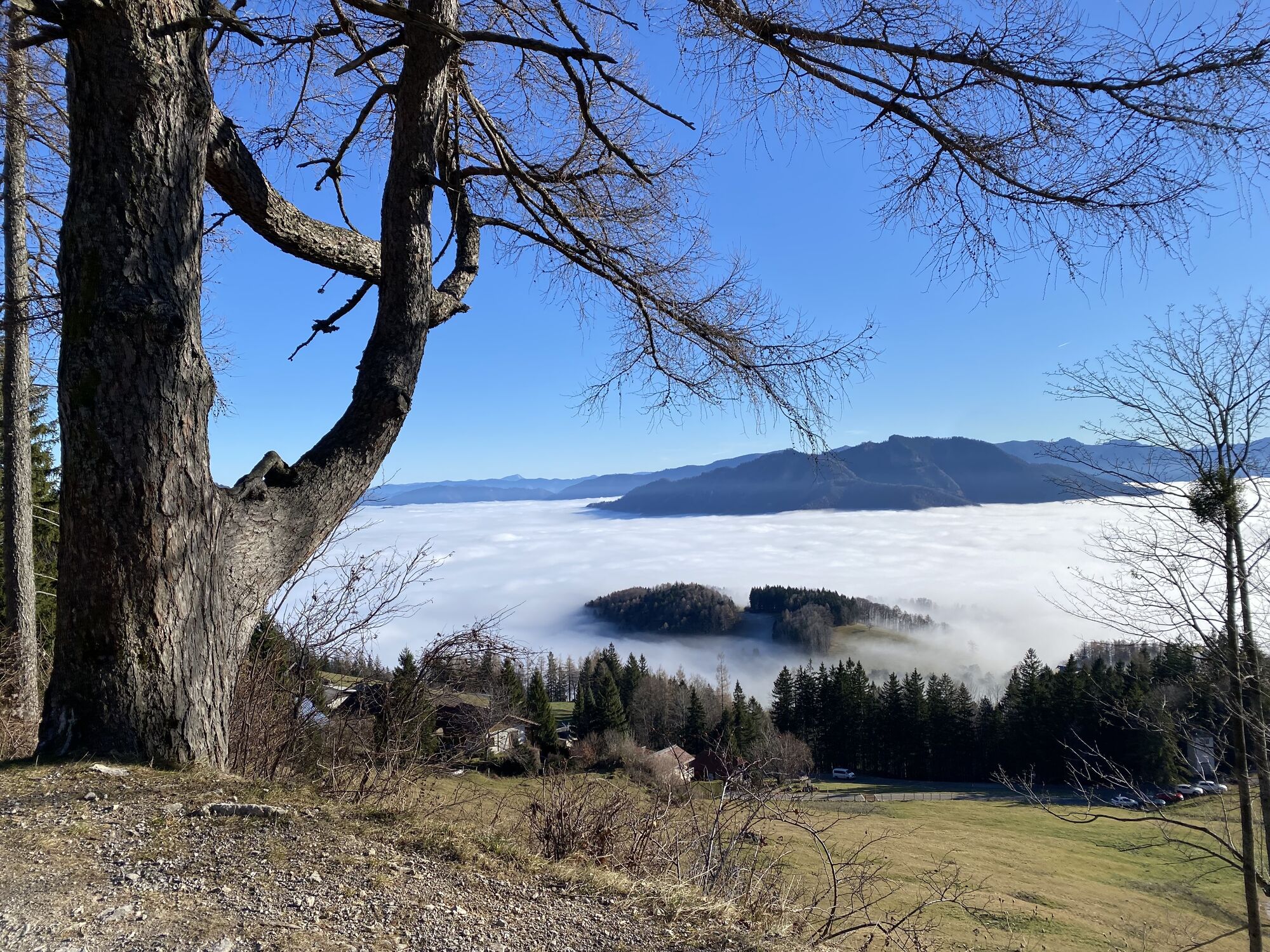
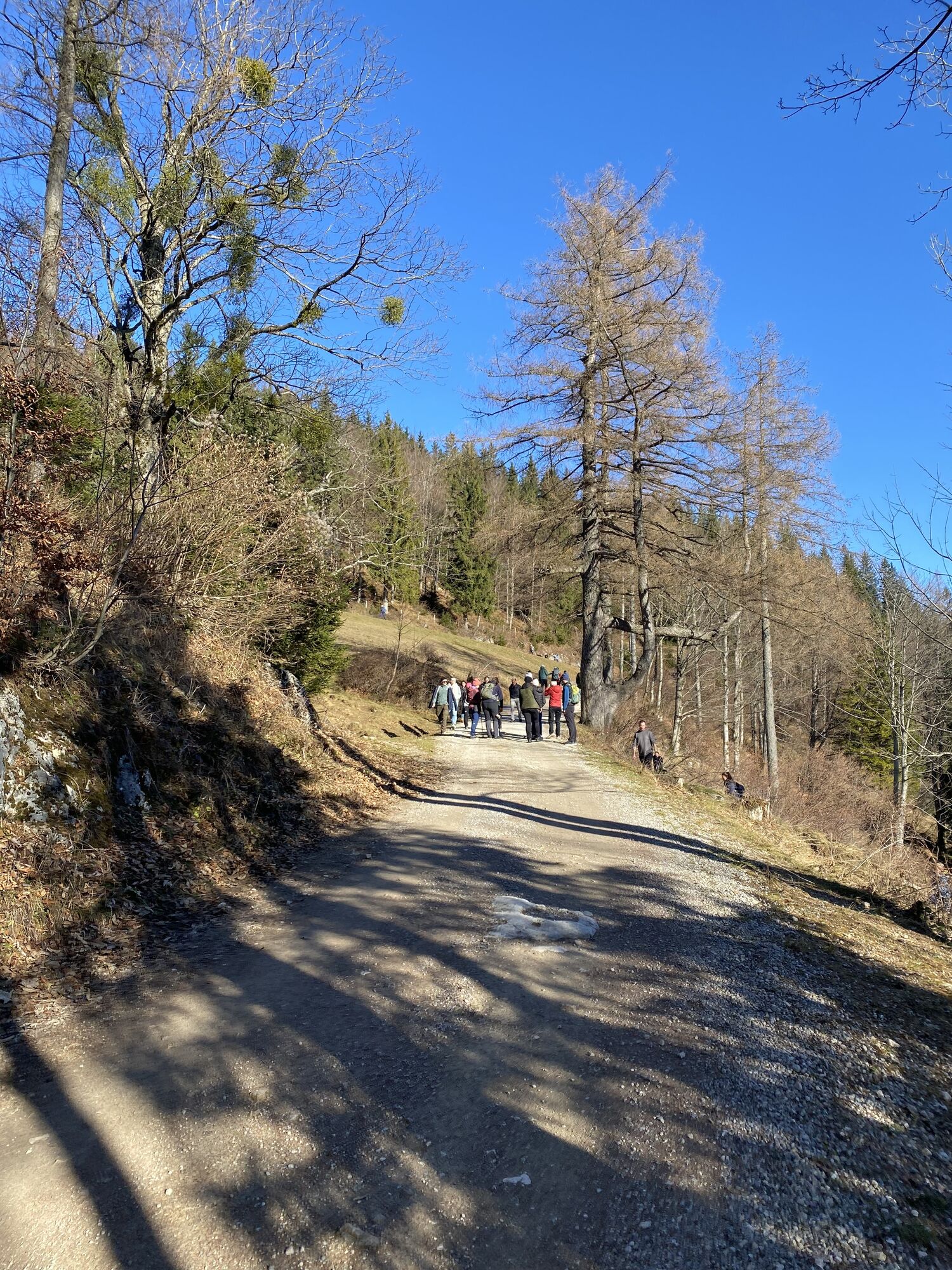


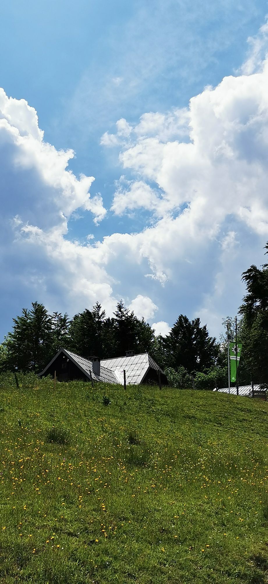

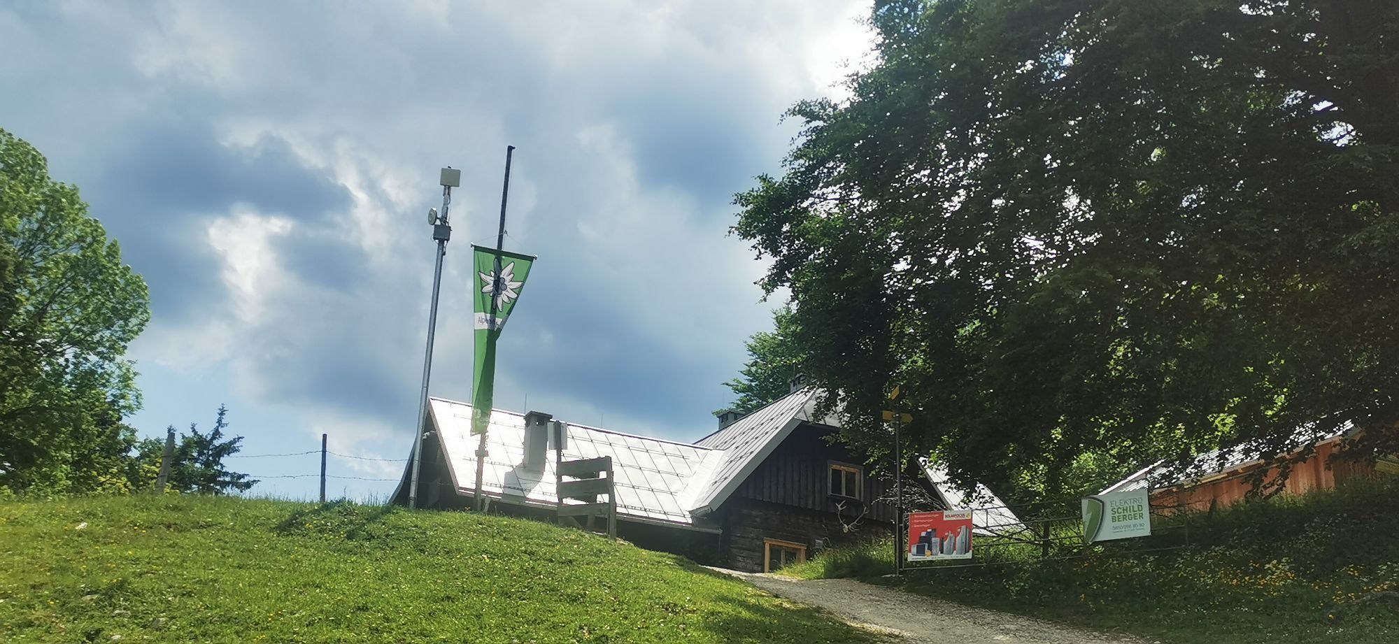


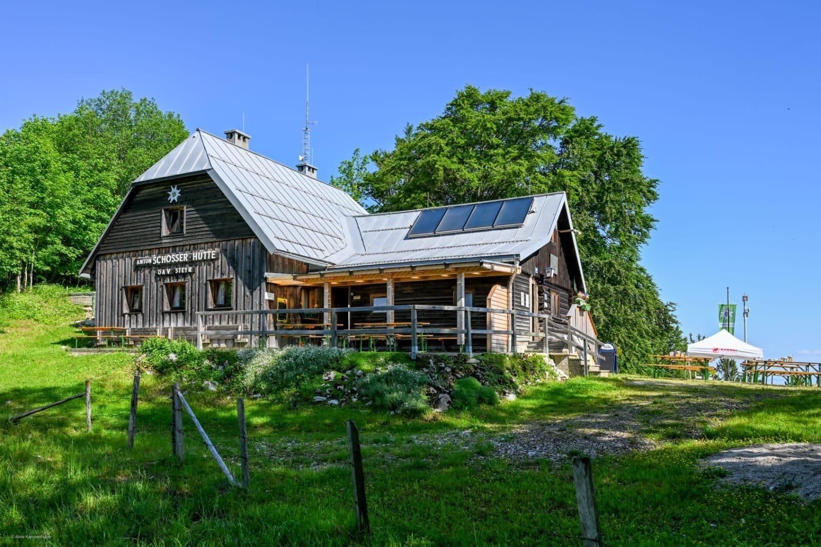
After around half an hour, you will reach a junction below the hut. From there, continue along the marked hiking trail towards the summit.
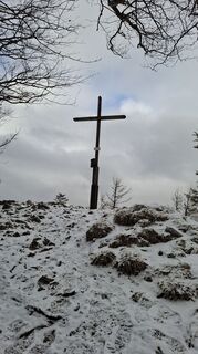
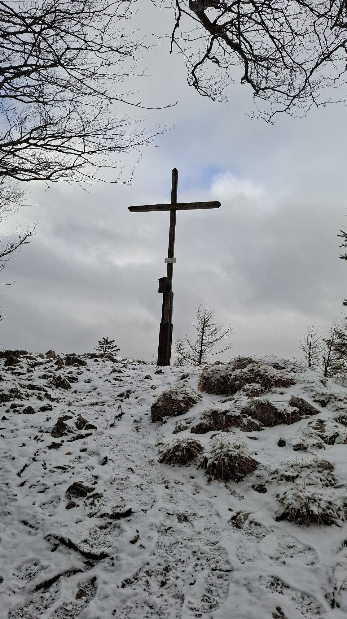
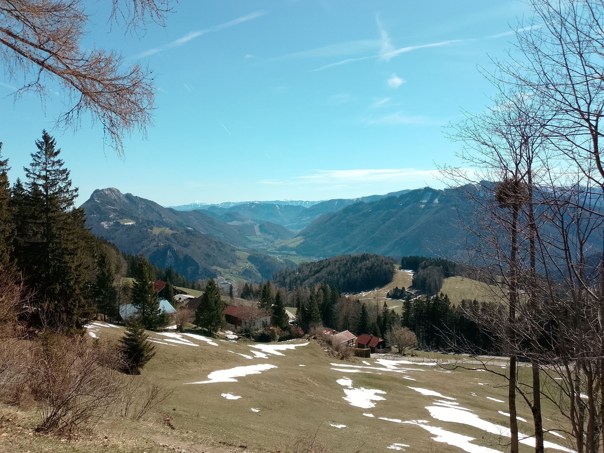
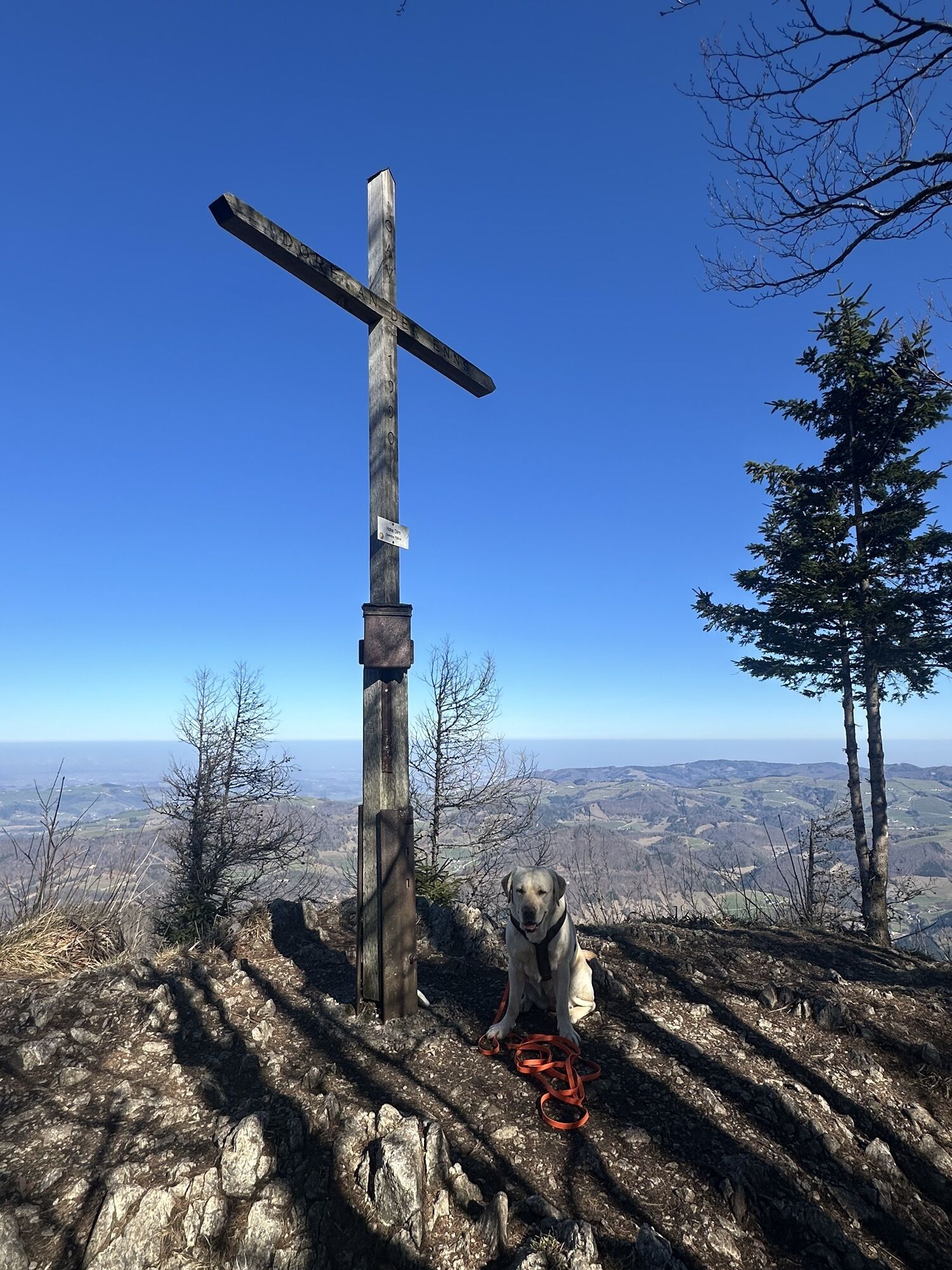
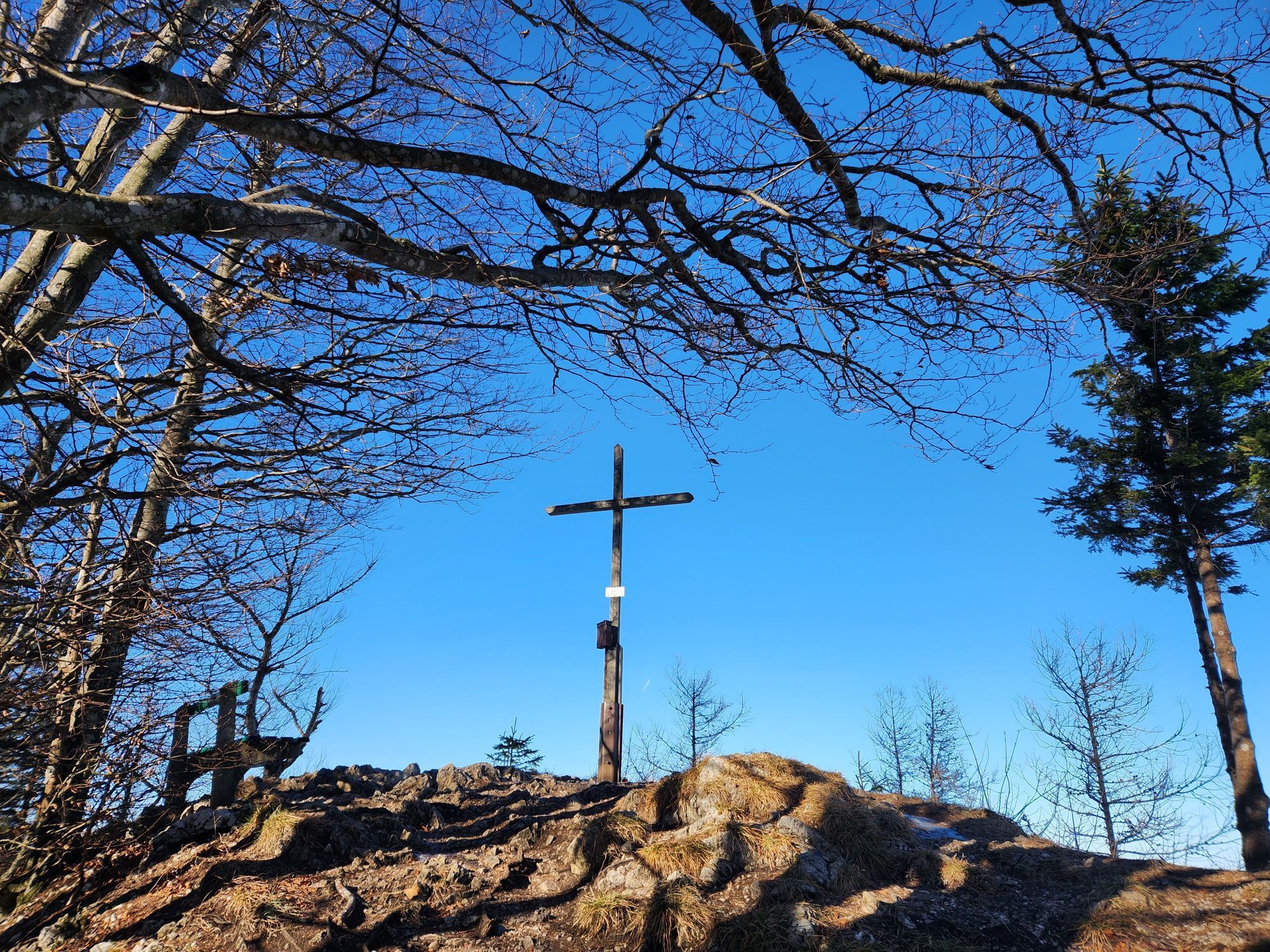
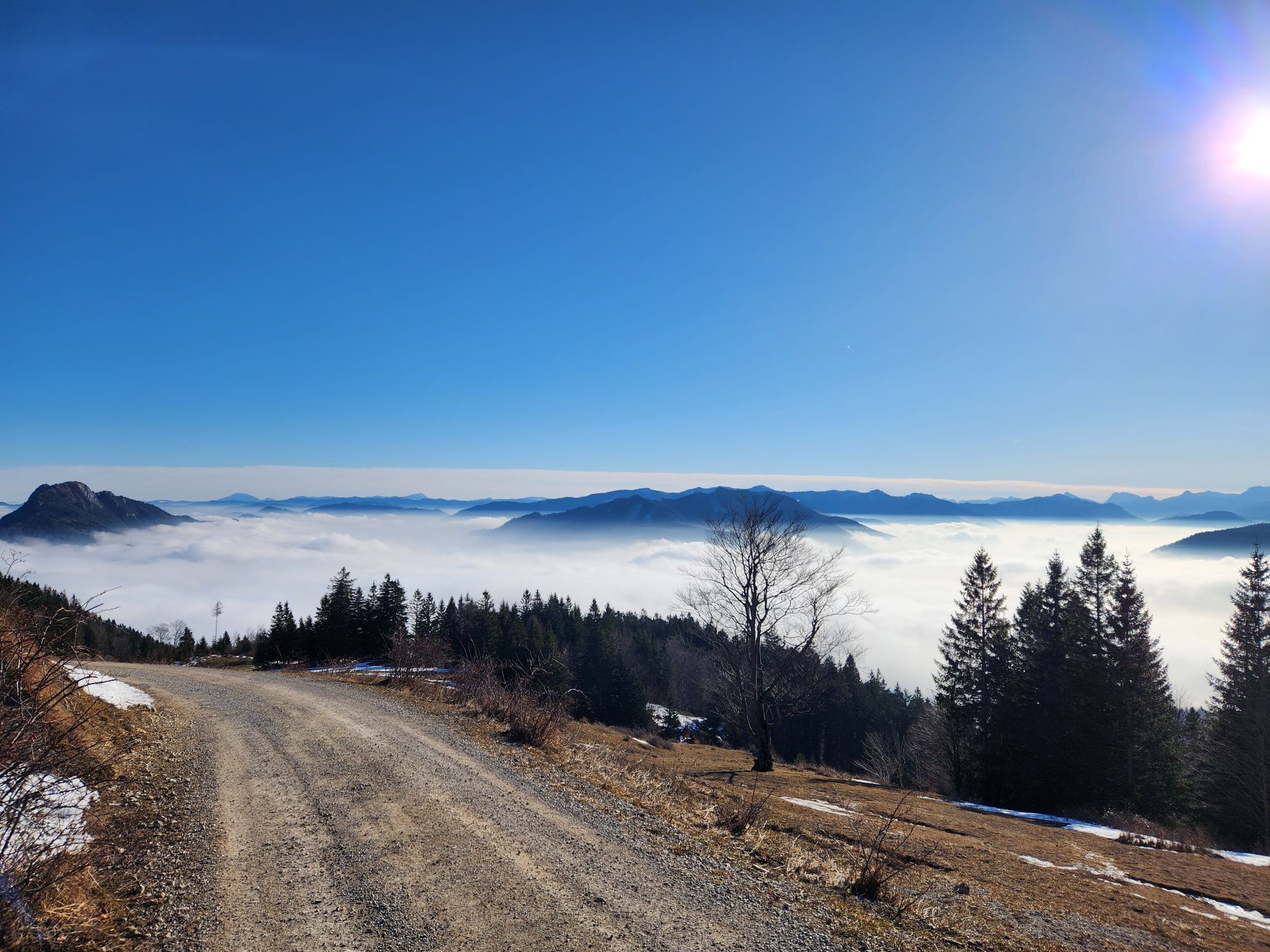
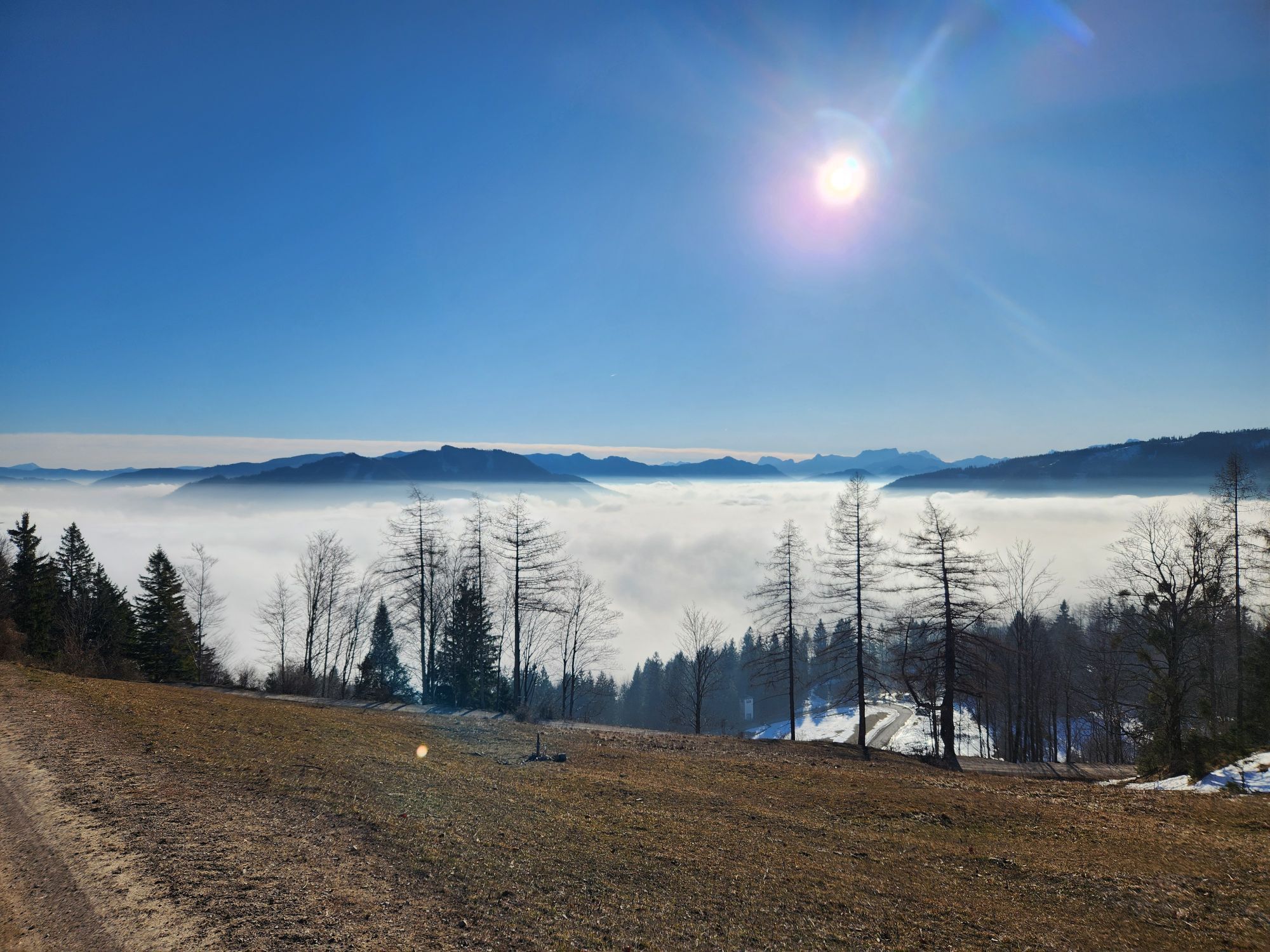
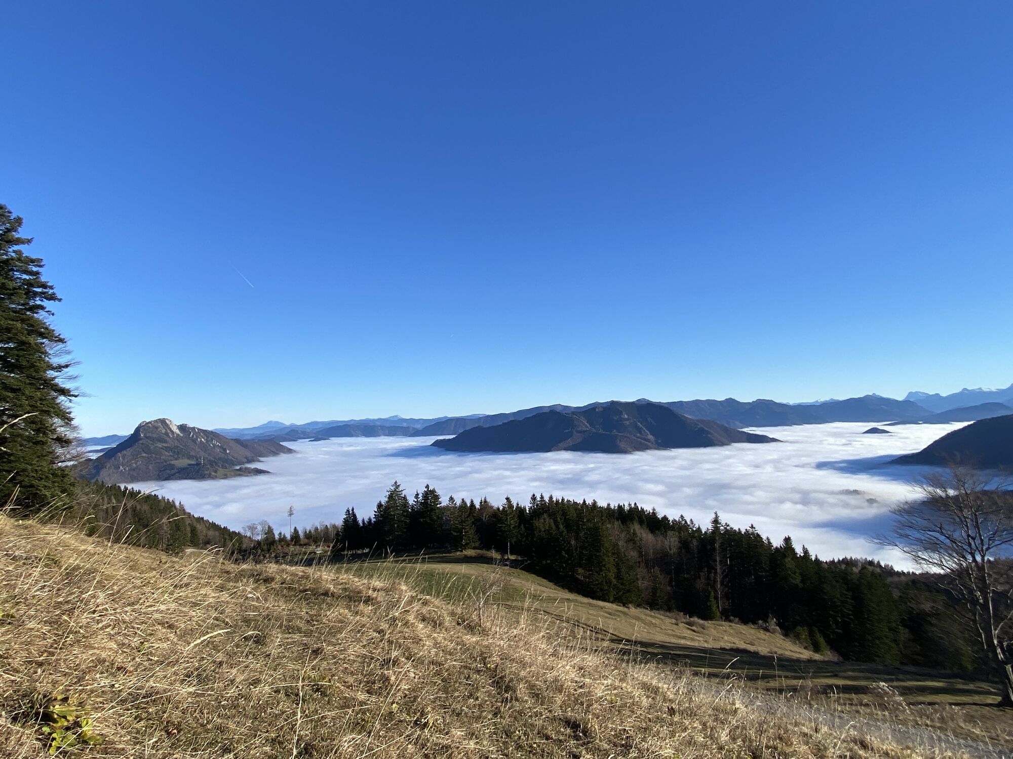
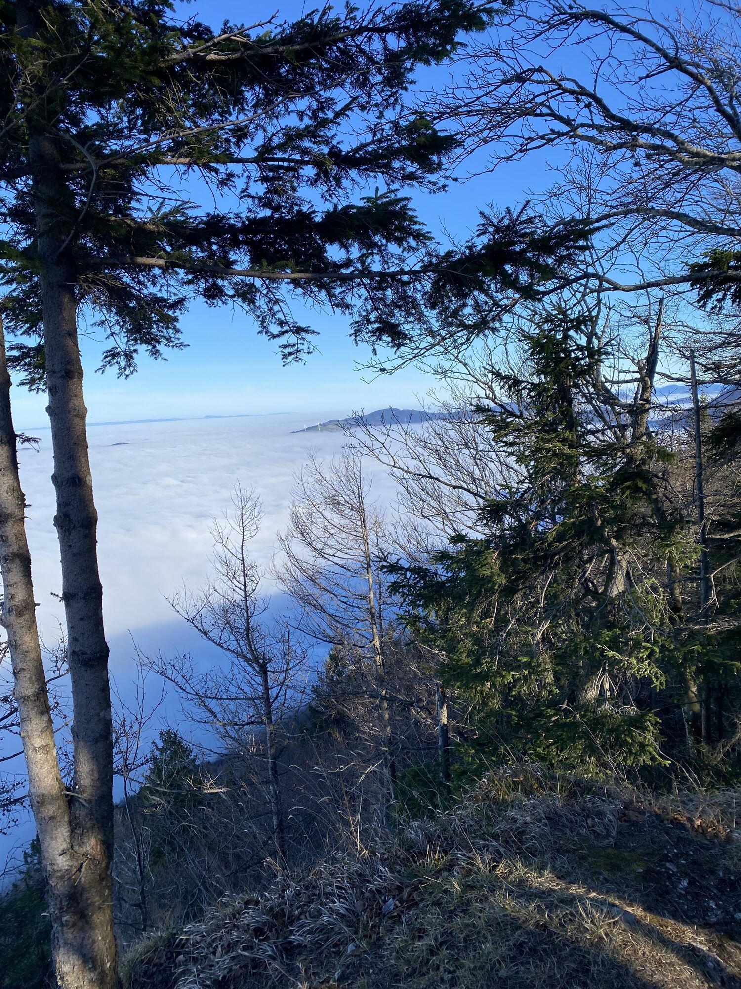
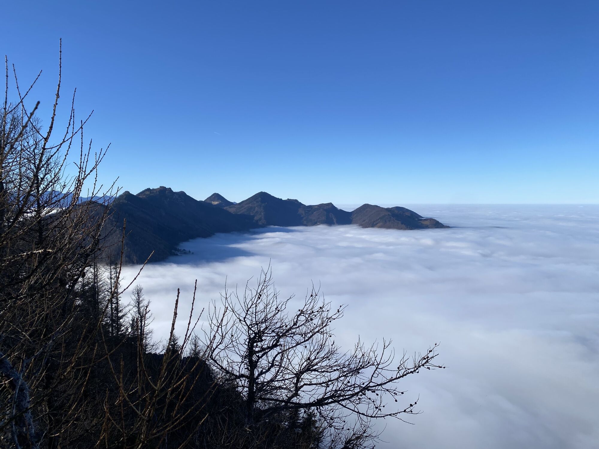
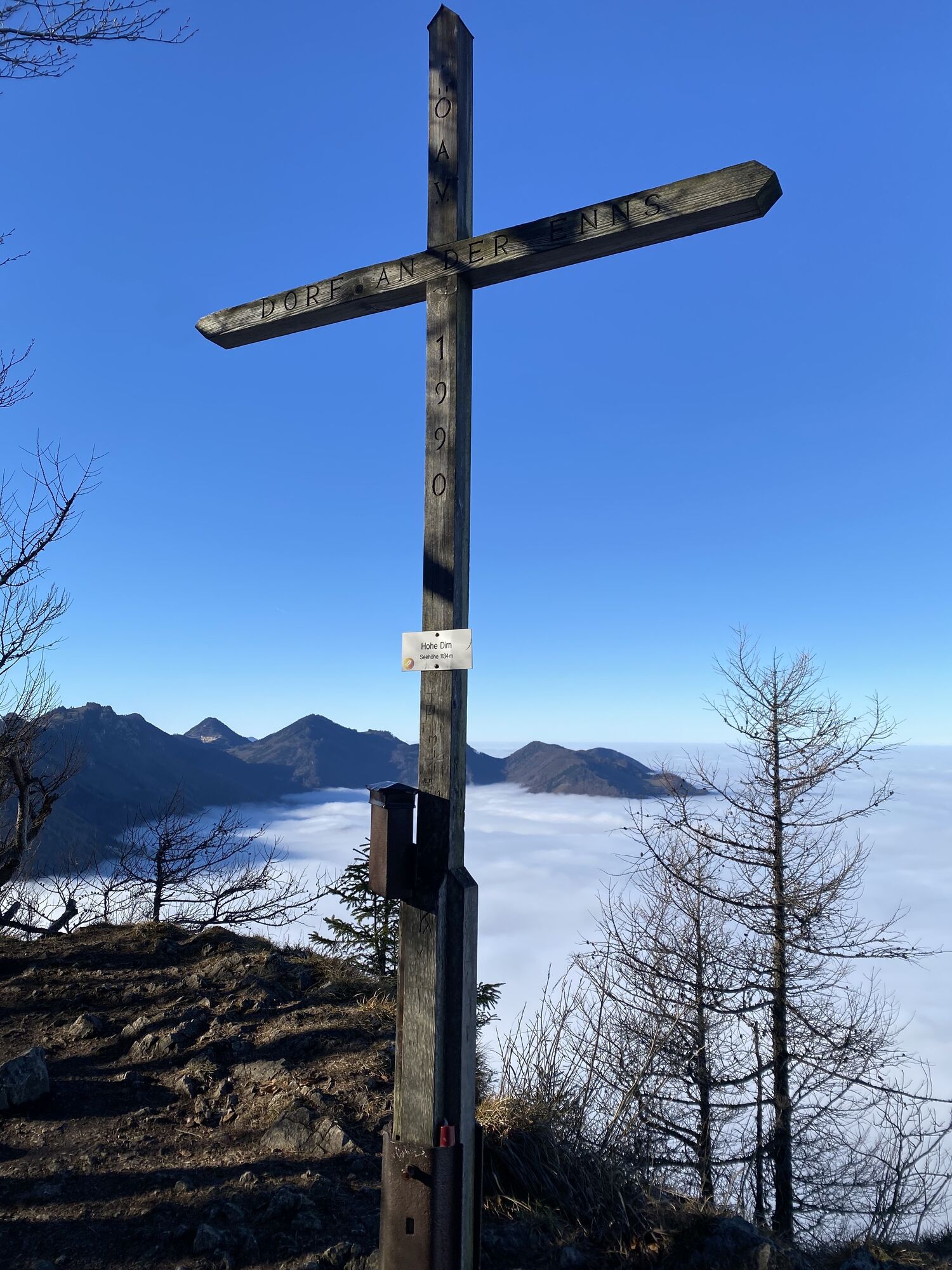
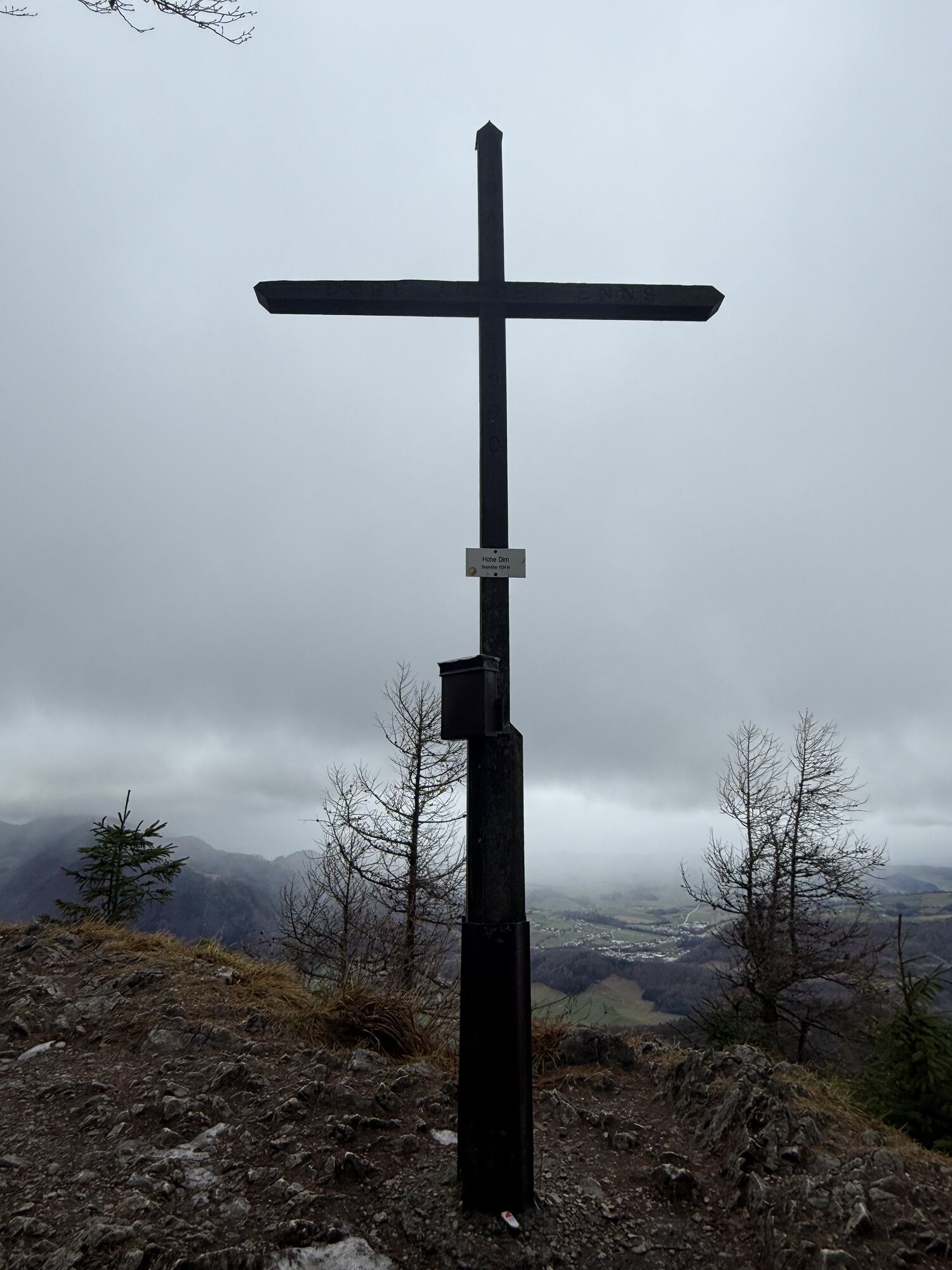
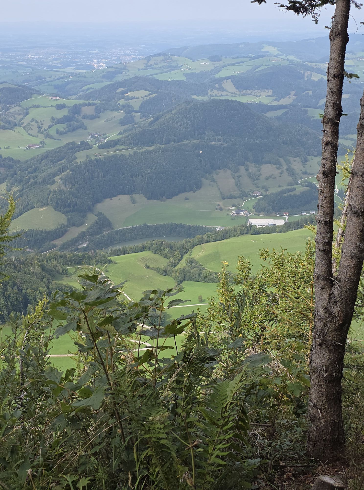
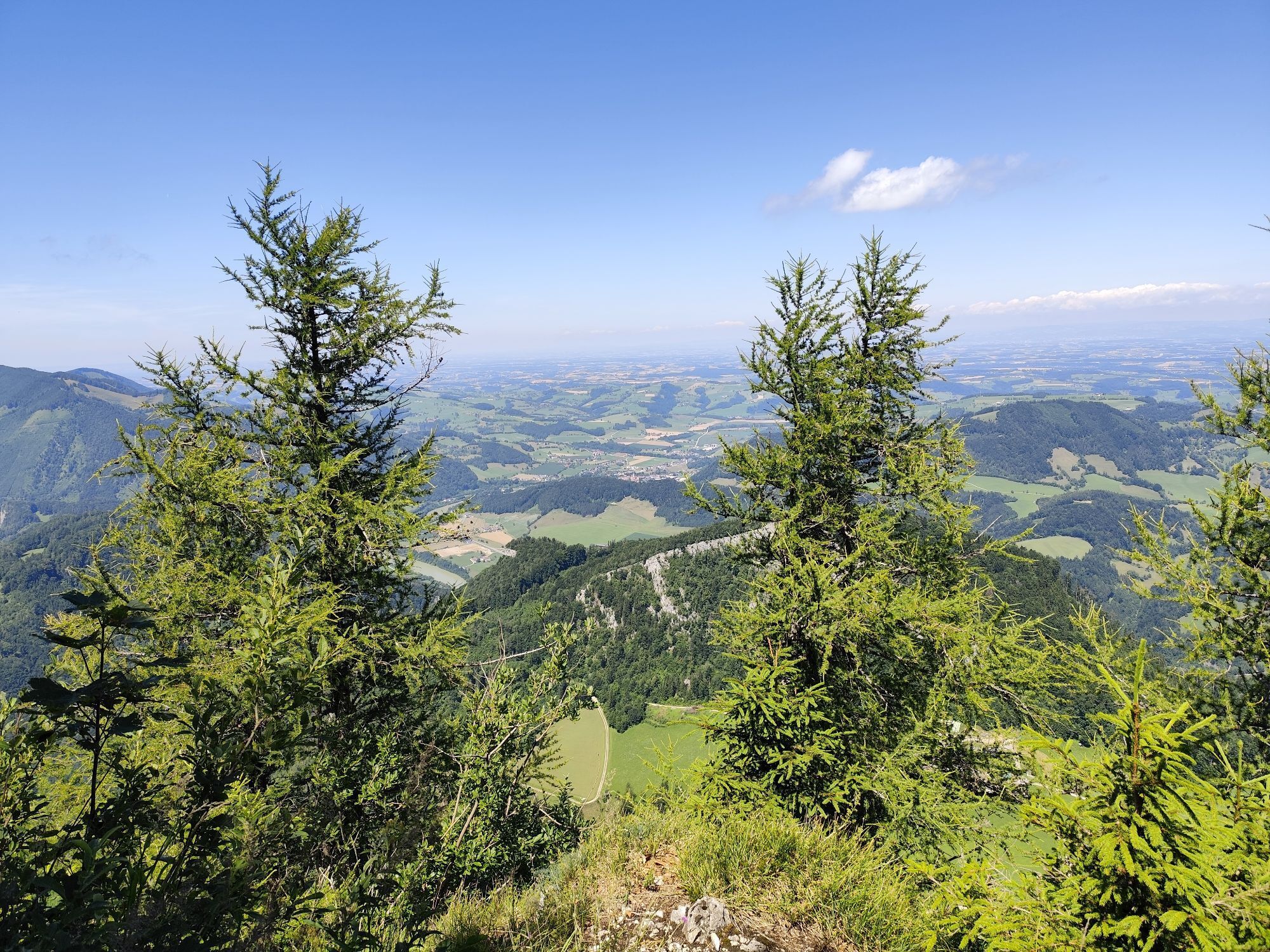
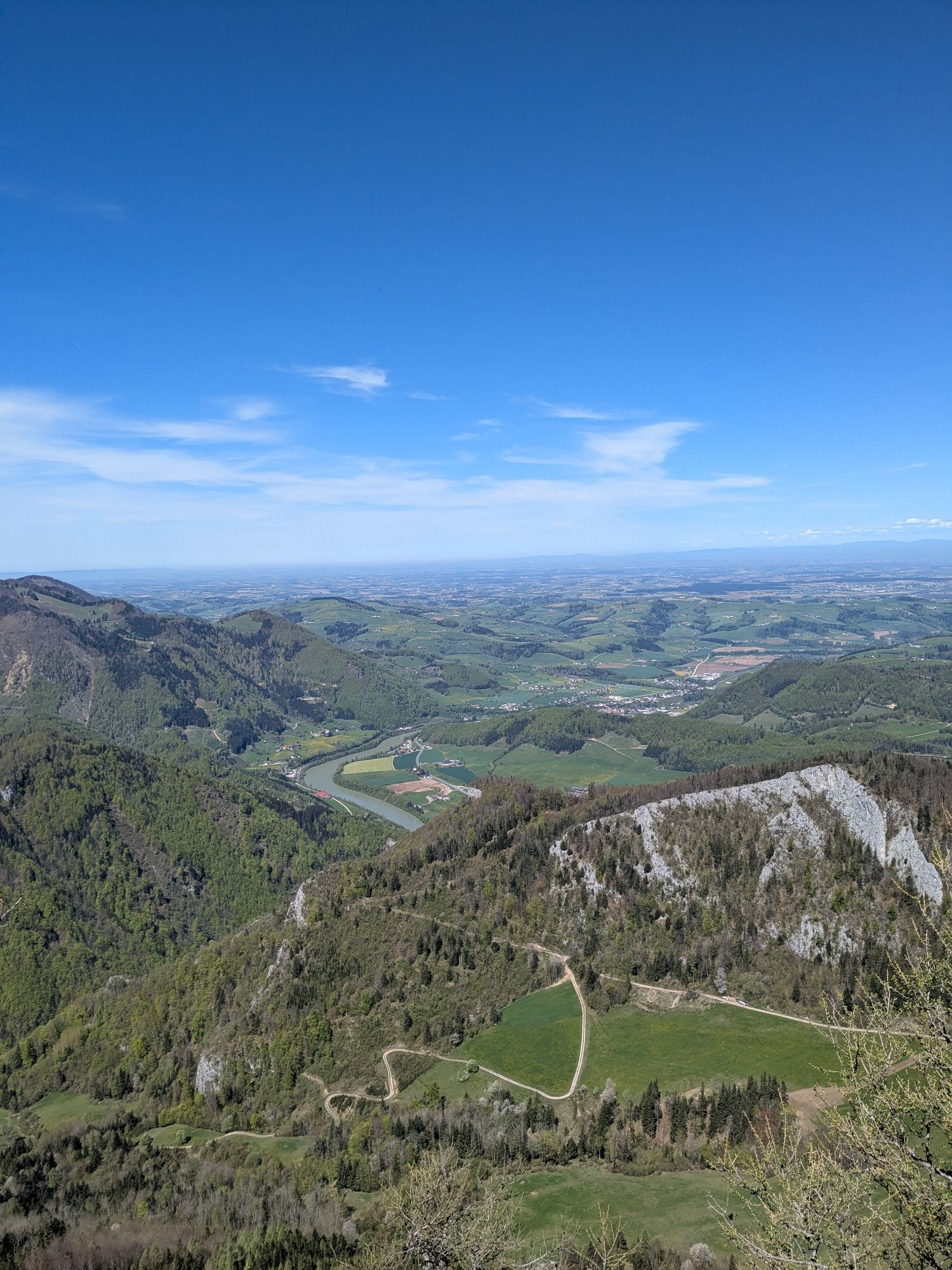
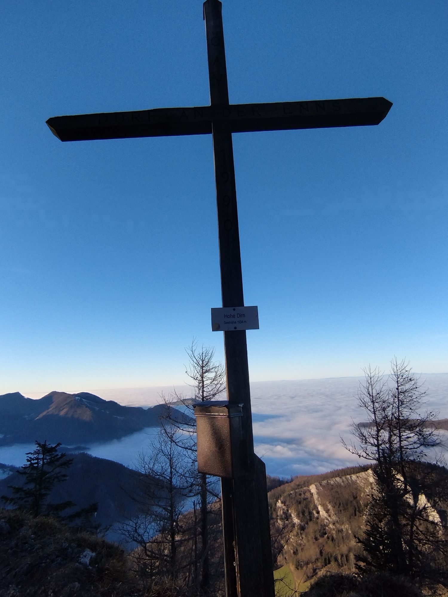
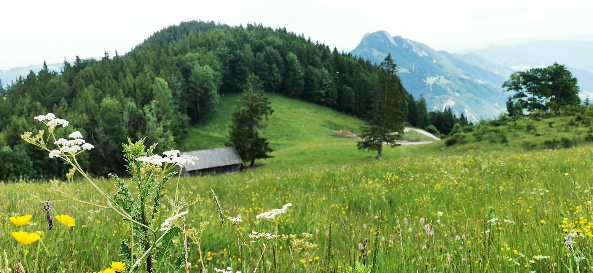
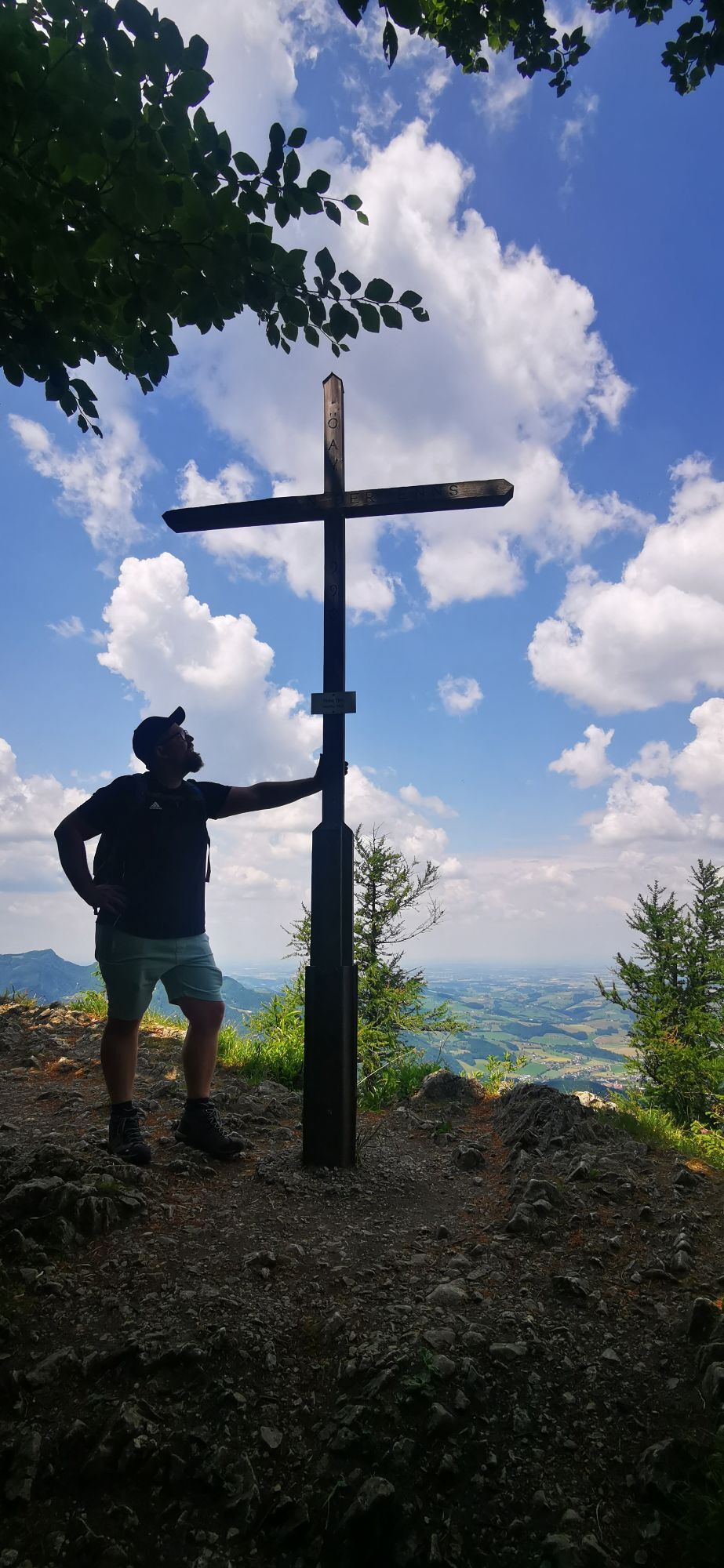
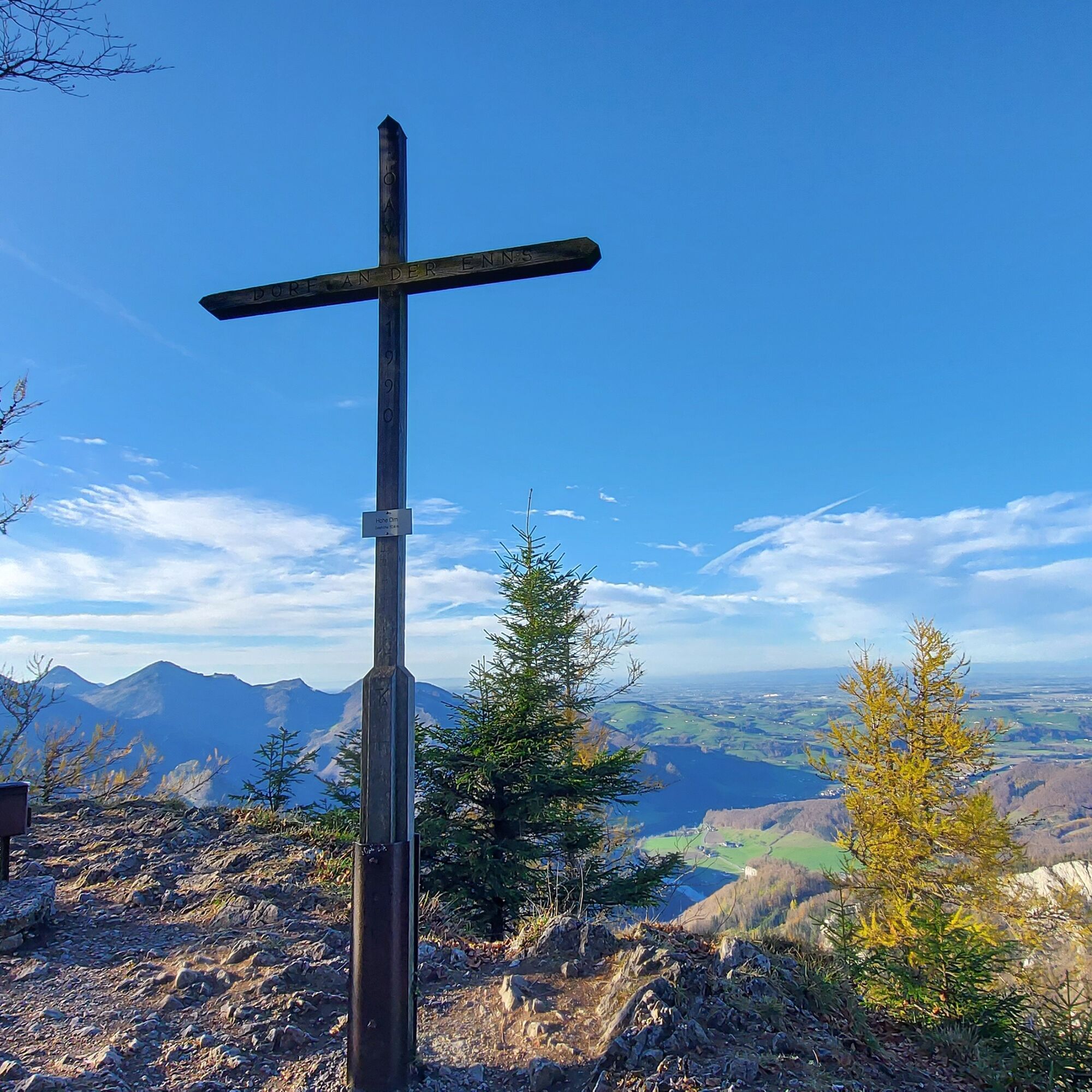
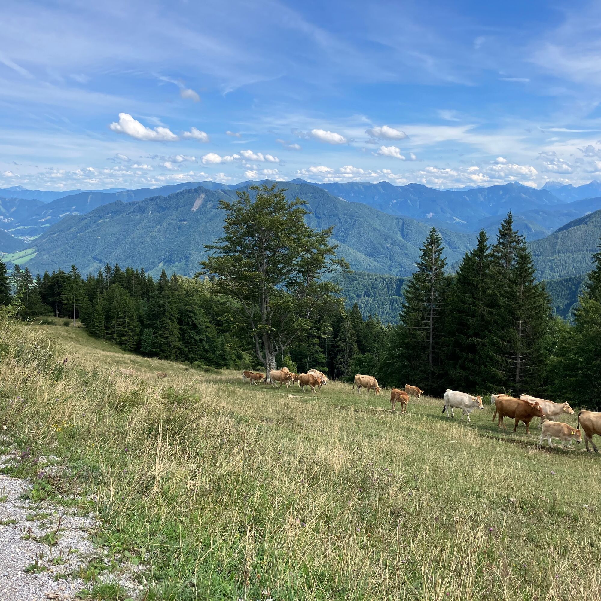
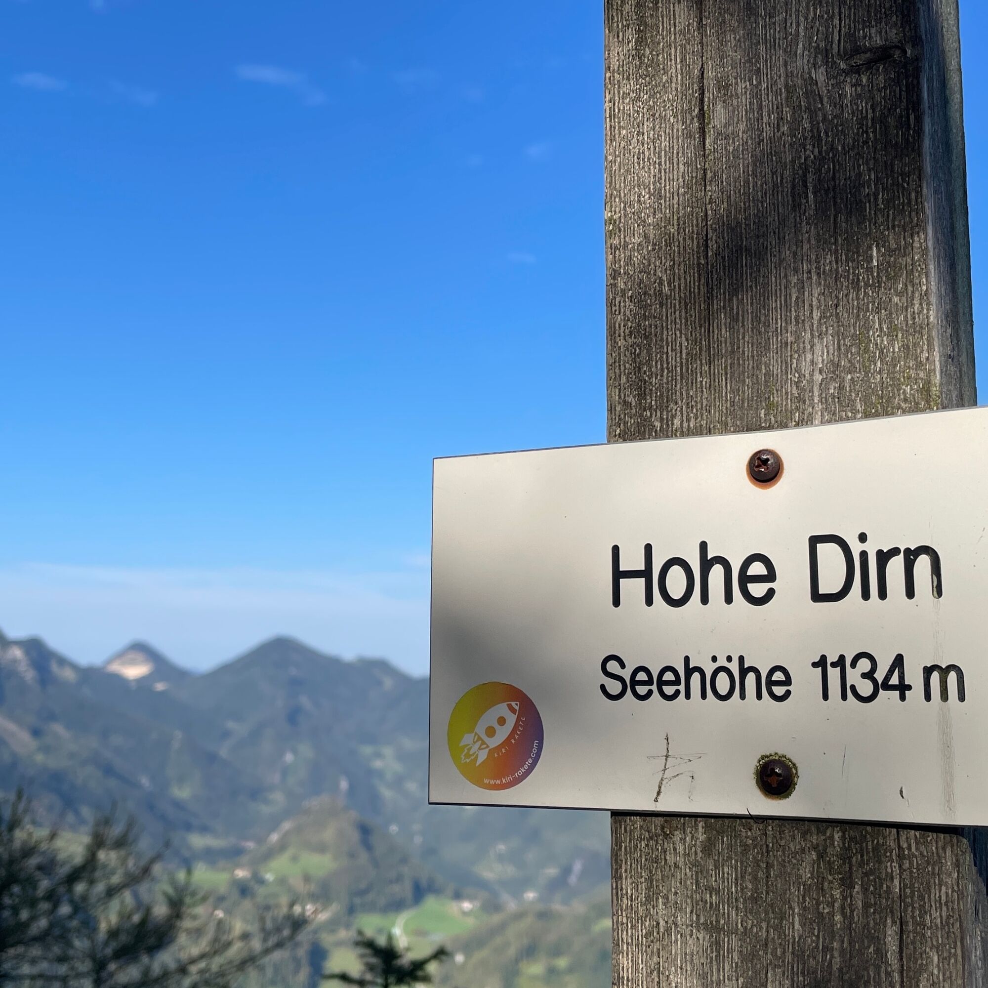
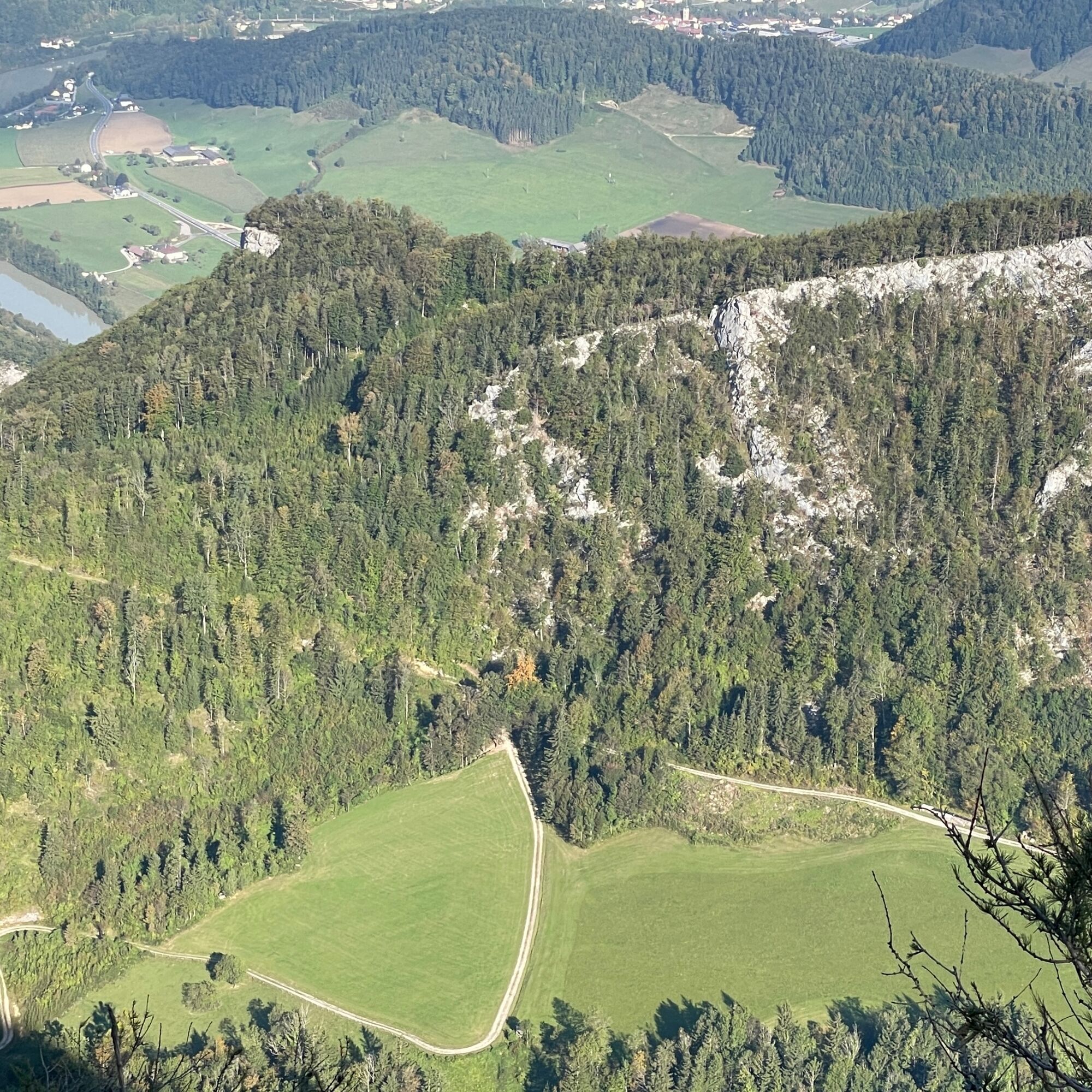
After another 15 to 20 minutes, you will finally reach the summit area of the Hohe Dirn at an altitude of around 1,134 meters. From there, you can enjoy a panoramic view over the Enns Valley, the Reichraminger Hintergebirge, the Gesäuse and, on a clear day, even as far as the foothills of the Alps.
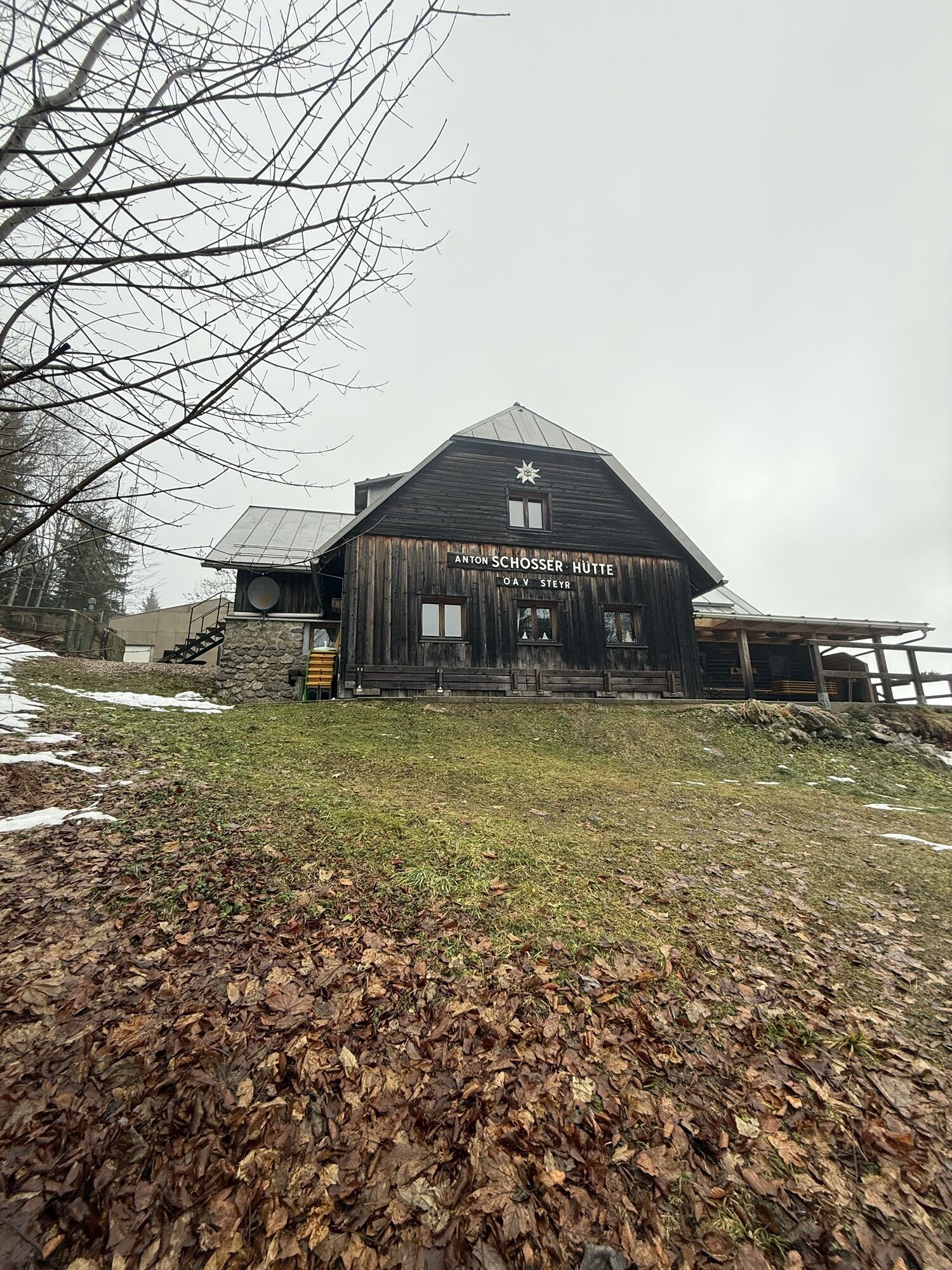
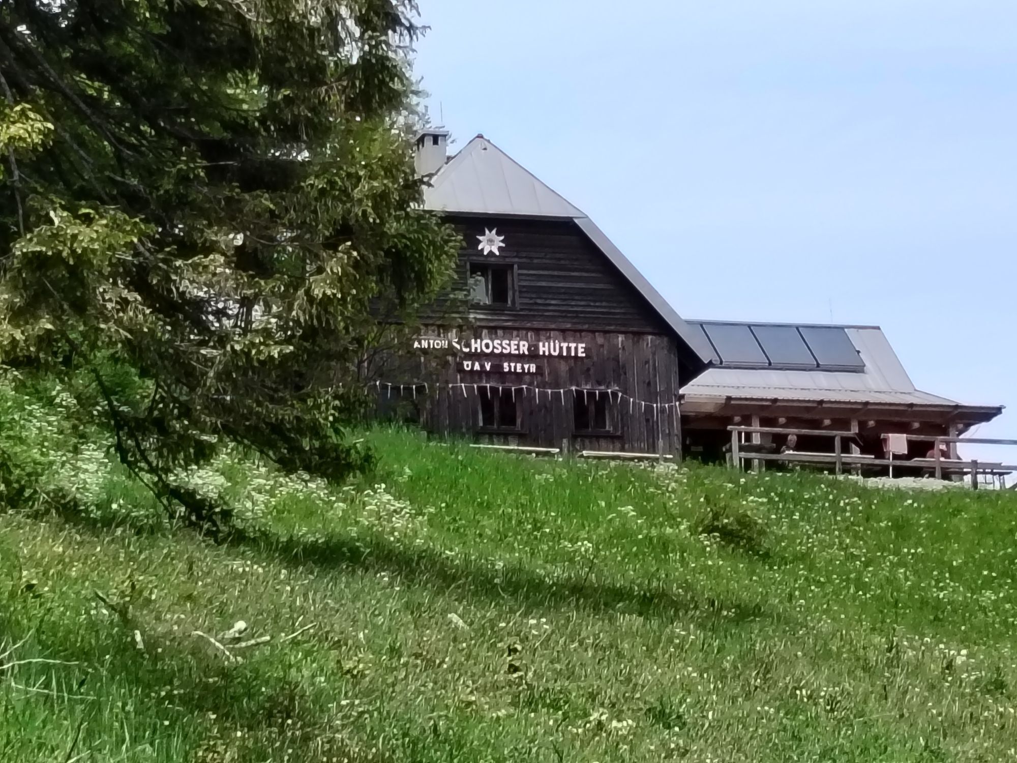
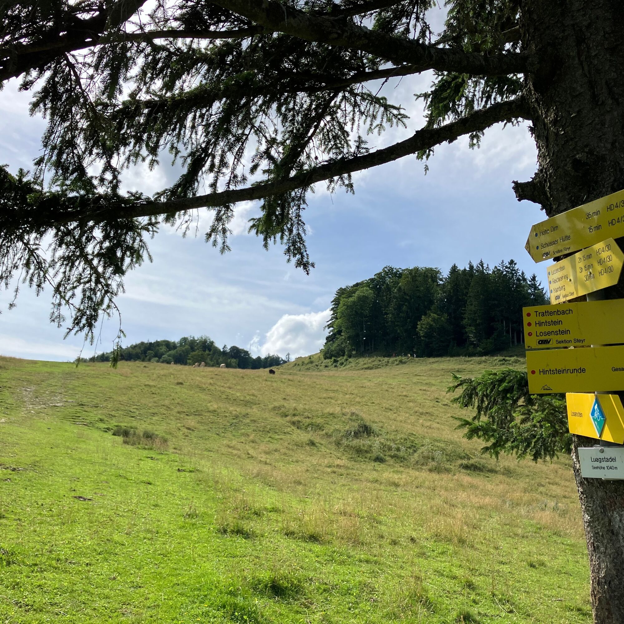
For the way back, follow the same route until you reach the point where the forest turns into a pasture. There is a turn-off to the right in the direction of the hut. After about 10 minutes you will reach the hut. From there, take the forest road back to the parking lot.
T2
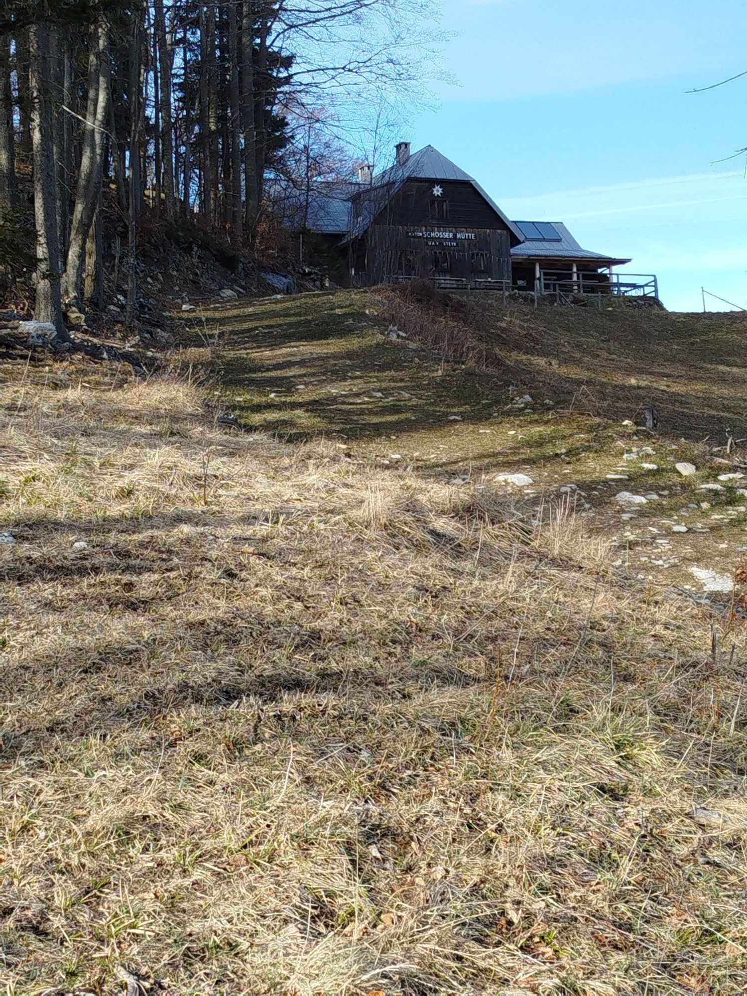
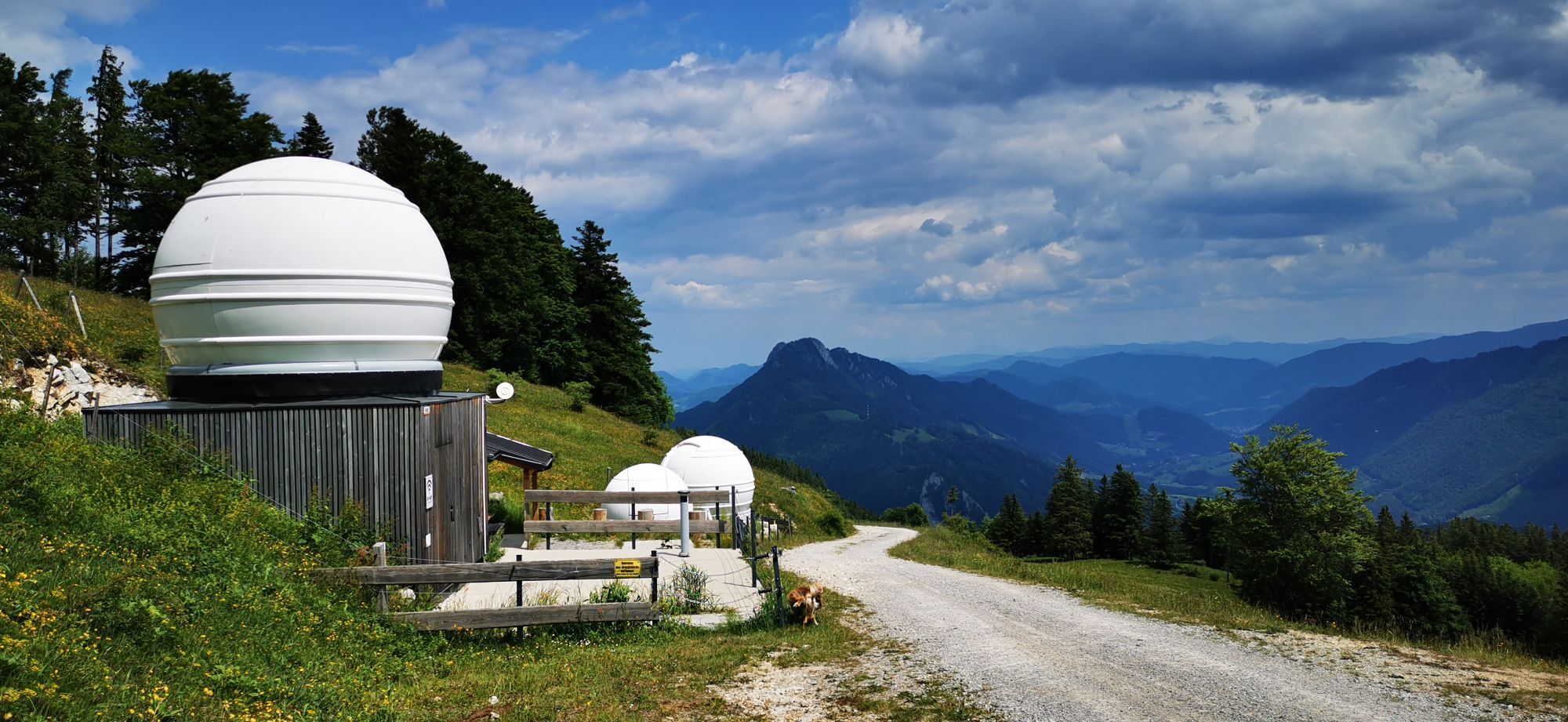
Stop off at the Anton Schosser hut
Parcours populaires à proximité
- 4,9
Refuge Ennser - Almkogel (depuis le parking Bamacher)
moyenRandonnée 3,53 km - 4,7
Cabane Grünburger via Dorngraben Molln
moyenRandonnée 3,43 km - 4,6
Schoberstein (depuis Molln)
moyenRandonnée 3,63 km - 4,8
Steinerner Jäger (1185m) und Schieferstein (1206m) ab Parkplatz Hochhabichler
moyenRandonnée 4,46 km - 4,7
GROSSRAMING Bamacher, Burgspitz, Almkogel, Ennshütte 20240730
moyenRandonnée 10 km - 4,5
Pfaffenmauer - Schoberstein - Gipfel der Lust Gasthof Klausriegler, Oberösterreich/Österreich
moyenRandonnée 9,72 km - 4,2
Cascade - gorge de Rinnerberger
moyenRandonnée 7,55 km - 4,5
Ternberg -Schoberstein
moyenRandonnée 6,60 km - 4,4
Dürres Eck - Gaisberg - Hochbuchberg
moyenRandonnée 11,2 km - 4,4
Sonnkogel (1177m) und Hohe Dirn (1134m) ab Parkplatz Hohe Dirn
moyenRandonnée 7,71 km
Randonnée et suivi


Ne manquez pas les offres et l'inspiration pour vos prochaines vacances
Votre adresse électronique a été ajouté à la liste de diffusion.