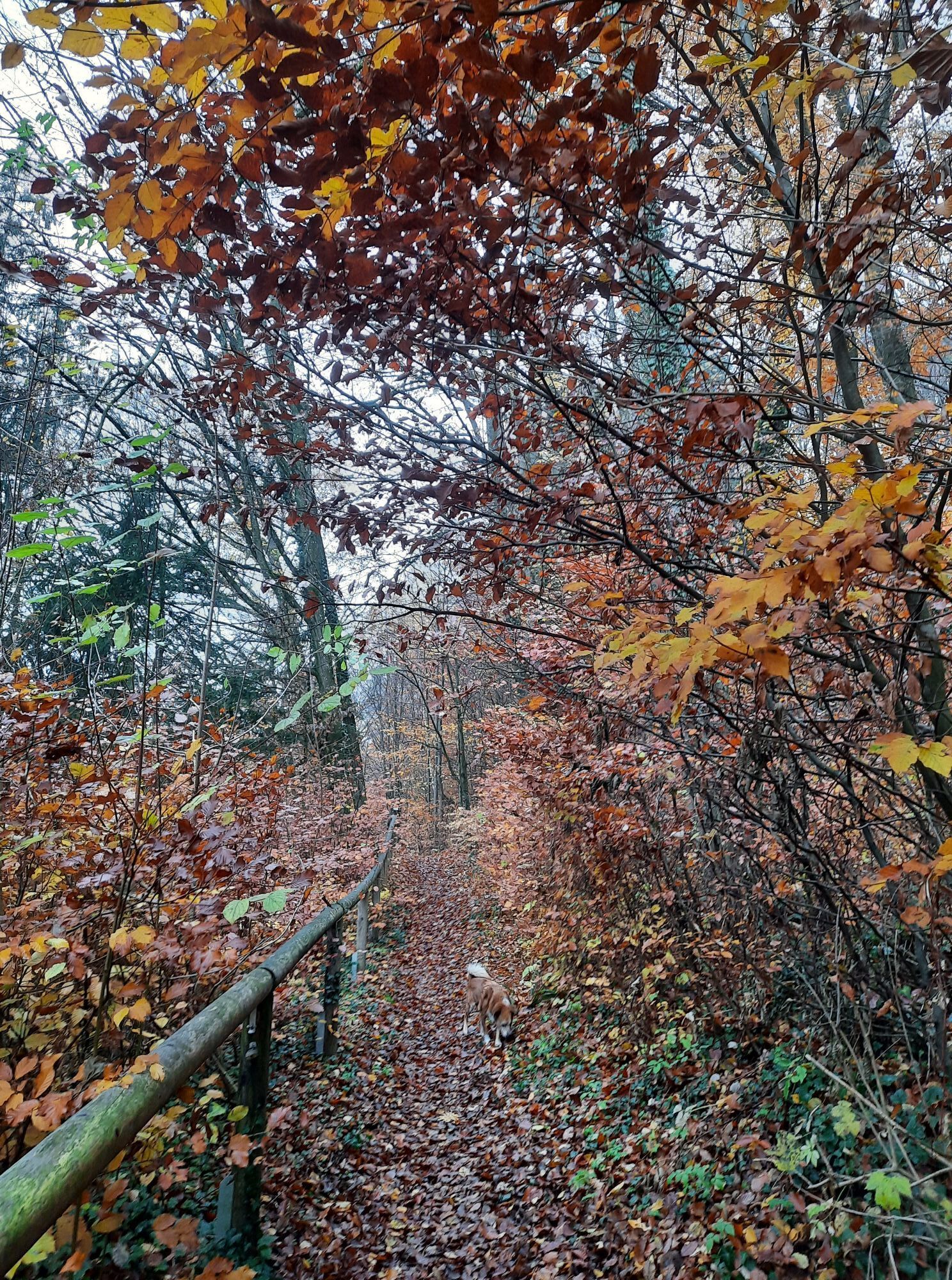
Wirt in der Au - Kath. Filialkirche hl. Martin - OFS Lambach-Aichkirchen - Gedenkkreuz
moyen
Télécharge cette visite sur ton portable
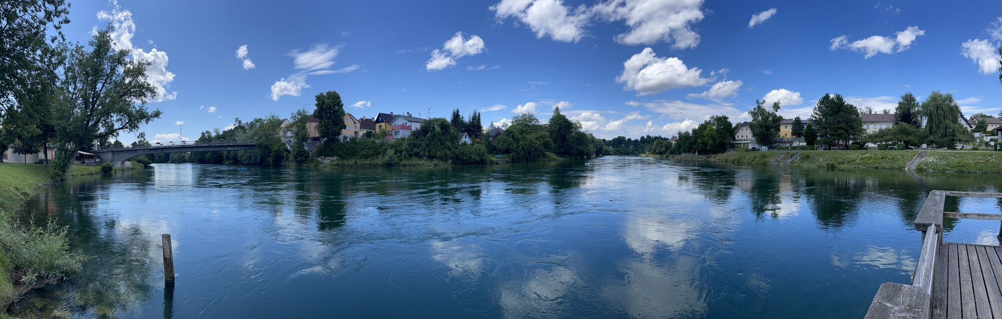
Wirt in der Au - Kath. Filialkirche hl. Martin - OFS Lambach-Aichkirchen - Gedenkkreuz
moyen
Vélo de course
49,90
km
Scanner le code QR et commencer la navigation dans l'application bergfex

Randonnée & tracking


Wirt in der Au - Kath. Filialkirche hl. Martin - OFS Lambach-Aichkirchen - Gedenkkreuz
moyen
Distance
49,90
km
Durée
02:29
h
Ascension
339
m
Altitude
350 -
458
m
Téléchargement de la piste
Wirt in der Au - Kath. Filialkirche hl. Martin - OFS Lambach-Aichkirchen - Gedenkkreuz
moyen
Vélo de course
49,90
km
Parcours
Attnang-Puchheim
(414 m)
Ville
5,8 km
Kath. Filialkirche hl. Martin
(430 m)
Lieu de culte
6,2 km
Schwanenstadt
(389 m)
Ville
13,3 km
Schlatt
(415 m)
Lotissement
14,9 km
OFS Lambach-Aichkirchen
(366 m)
Lieu de culte
26,3 km
Gedenkkreuz
(381 m)
Lieu de culte
30,8 km
Kath. Filialkirche hl. Martin
(430 m)
Lieu de culte
43,9 km
Parcours
Wirt in der Au - Kath. Filialkirche hl. Martin - OFS Lambach-Aichkirchen - Gedenkkreuz
moyen
Vélo de course
49,90
km
Wirt in der Au
(459 m)
Restaurant
0,0 km
Lehen
(448 m)
Village
3,3 km
Moosham
(441 m)
Lotissement
4,0 km
Hohenbaumgarten
(420 m)
Lotissement
4,7 km
Attnang-Puchheim
(414 m)
Ville
5,8 km
Kath. Filialkirche hl. Martin
(430 m)
Lieu de culte
6,2 km
Einwarting
(401 m)
Lotissement
8,2 km
Zigeunerwirt
(400 m)
Restaurant
8,6 km
Winkl
(397 m)
Lotissement
10,9 km
Kaiseredt
(397 m)
Lotissement
11,9 km
Oberndorf bei Schwanenstadt
(393 m)
Village
12,4 km
Schwanenstadt
(389 m)
Ville
13,3 km
Römerberg
(418 m)
Lotissement
14,2 km
Hörweg
(412 m)
Lotissement
14,6 km
Schlatt
(415 m)
Lotissement
14,9 km
Breitenschützing
(394 m)
Village
16,6 km
Asperding
(385 m)
Lotissement
17,4 km
Dorf
(400 m)
Lotissement
18,1 km
Schörgendorf
(386 m)
Lotissement
18,2 km
Neukirchen bei Lambach
(412 m)
Village
19,5 km
Iming
(395 m)
Lotissement
20,0 km
Stroham
(397 m)
Lotissement
21,7 km
Lambach
(369 m)
Village
25,9 km
OFS Lambach-Aichkirchen
(366 m)
Lieu de culte
26,3 km
Stadl-Paura
(367 m)
Village
27,3 km
Pizzaria Palermo
(351 m)
Restaurant
28,2 km
Stadl-Hausruck
(353 m)
Quartier de la ville
29,0 km
Gedenkkreuz
(381 m)
Lieu de culte
30,8 km
Ebersäuln
(402 m)
Lotissement
32,3 km
Kaufing
(380 m)
Lotissement
33,4 km
Mitterberg
(407 m)
Lotissement
33,5 km
Wirtshaus zur Lilli
(387 m)
Restaurant
35,1 km
Rüstorf
(380 m)
Village
35,3 km
Schwanenstadt
(389 m)
Ville
37,2 km
Oberndorf bei Schwanenstadt
(393 m)
Village
38,7 km
Schwanbachfeld
(394 m)
Quartier de la ville
39,4 km
Zigeunerwirt
(400 m)
Restaurant
41,6 km
Einwarting
(401 m)
Lotissement
41,9 km
Kath. Filialkirche hl. Martin
(430 m)
Lieu de culte
43,9 km
Attnang-Puchheim
(414 m)
Ville
44,0 km
Stopplziaga
(416 m)
Restaurant
44,5 km
Hohenbaumgarten
(420 m)
Lotissement
45,1 km
Moosham
(441 m)
Lotissement
45,8 km
Lehen
(448 m)
Village
46,4 km
Wirt in der Au
(459 m)
Restaurant
49,9 km
Pas encore d'évaluation
Parcours populaires à proximité
- 5,0
Naturerlebnisweg FUXI: Wohlfühlstadt Vöcklabruck
facileRandonnée 2,70 km - 4,0
Bahntrassenradweg Haager Lies
facileFaire du vélo 21,7 km - 3,3
Viel Wasser
facileRandonnée 12,2 km - 4,5
Wald der Kinder
Randonnée 1,34 km - 5,0
Rundweg Geispiel: Wohlfühlstadt Vöcklabruck
facileRandonnée 9 km - 4,2
VENUS_RUNDE
facileRandonnée 10,5 km - 2,8
Wilson Holz-Hausruck-Höhenweg
facileRandonnée 13,1 km - 2,0
Kohleflöz Kalletsberg
Randonnée 5,12 km - 1,0
Aurach am Hongar: Aurach-Runde
facileRandonnée 5,78 km - 3,0
HÖR_GANG
facileRandonnée 8,29 km
Randonnée et suivi

Plus de 550.000 propositions de circuits, des cartes détaillées et un planificateur d'itinéraire intuitif font de cette application un must pour tous les passionnés de nature.

Ne manquez pas les offres et l'inspiration pour vos prochaines vacances
S'inscrire à la newsletter
Erreur
Une erreur s'est produite. Veuillez réessayer.Merci pour votre inscription
Votre adresse électronique a été ajouté à la liste de diffusion.
Parcours en Europe
Autriche Suisse Allemagne Italie Slovénie France Pays-Bas Belgique Pologne Liechtenstein République tchèque Slovaquie Espagne Croatie Bosnie-Herzégovine Luxembourg Andorre Portugal Islande Royaume-Uni Irlande Grèce Albanie Macédoine du Nord Malte Norvège Monténégro Moldavie Kosovo Hongrie Saint-Marin Roumanie Estonie Lettonie Bélarus Chypre Lituanie Serbie Bulgarie Monaco Danemark Suède Finlande