


Upper Austria Mariazellerweg: A: 4th stage: Maria Neustift - Konradsheim - Waidhofen an der Ybbs

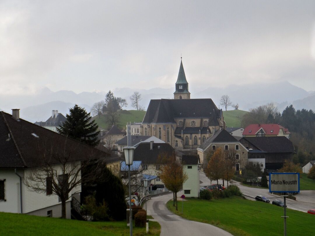
There is an interesting legend about the origins of the pilgrimage basilica in Maria Neustift: Allegedly, two feuding brothers (Lord of Gleiß near Sonntagberg and Lord of Hartweigstein from Hinterhaus...
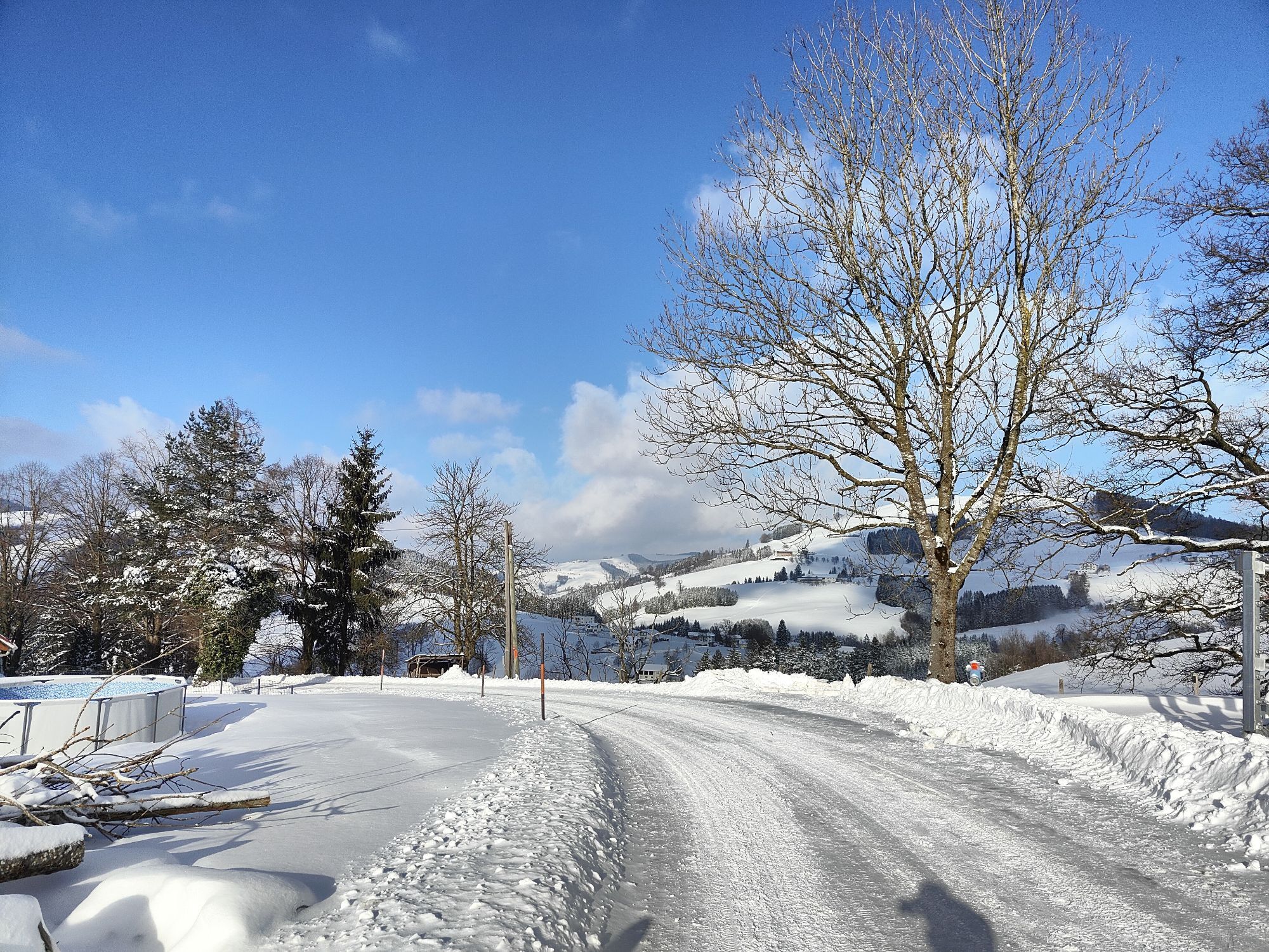
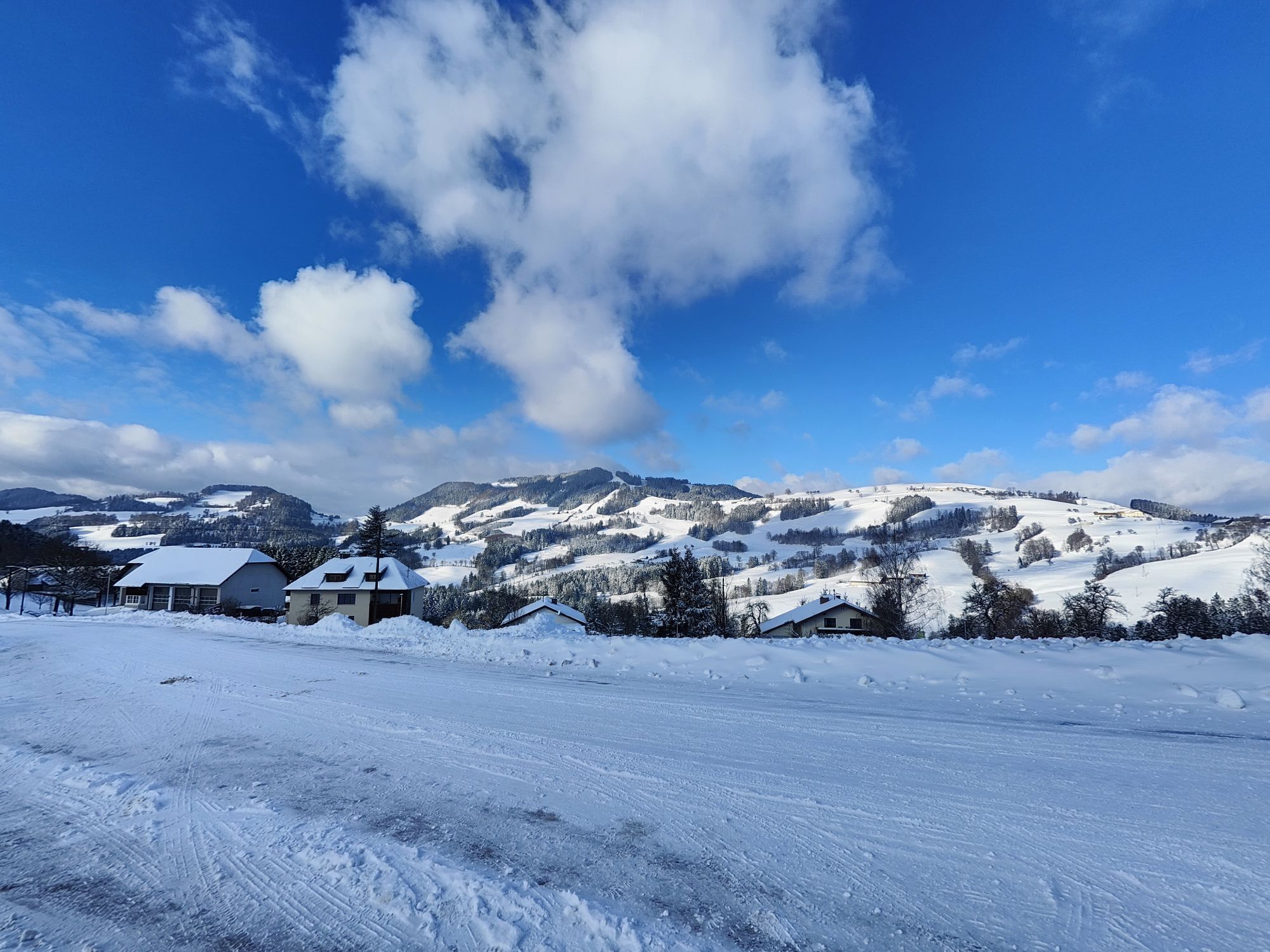
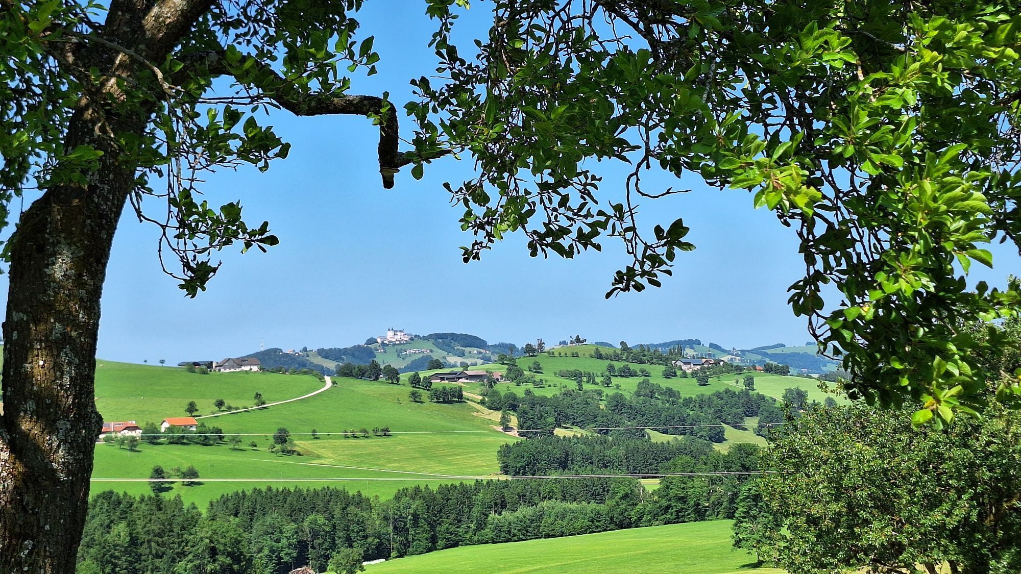
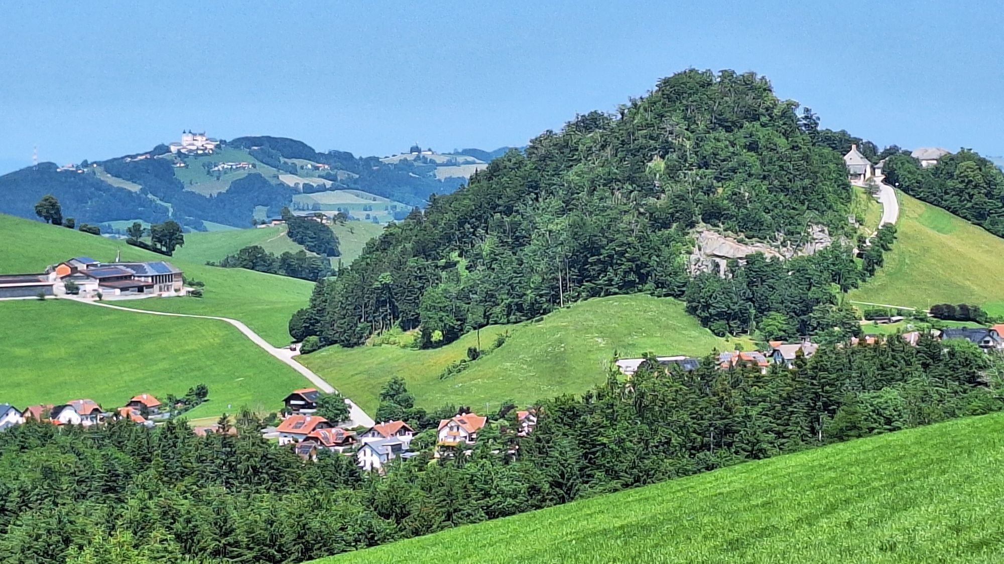
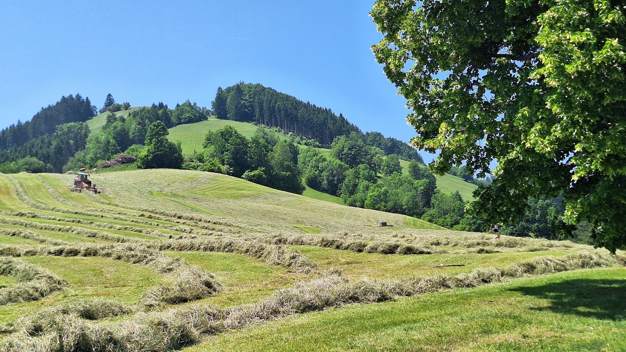
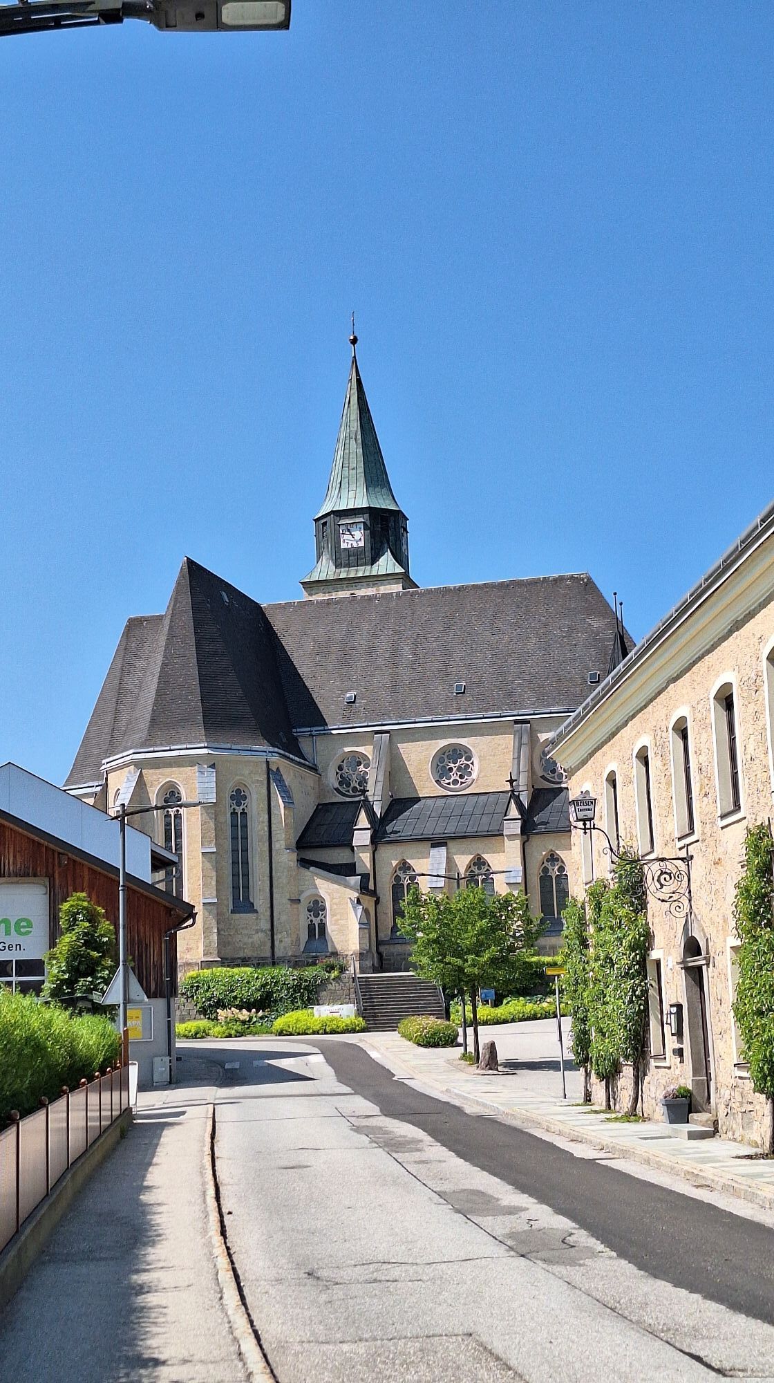
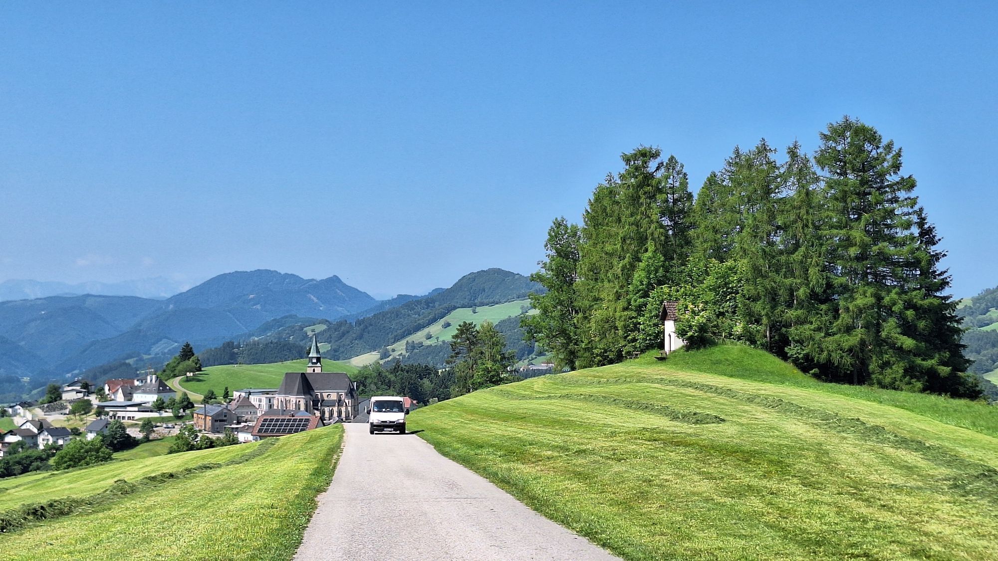
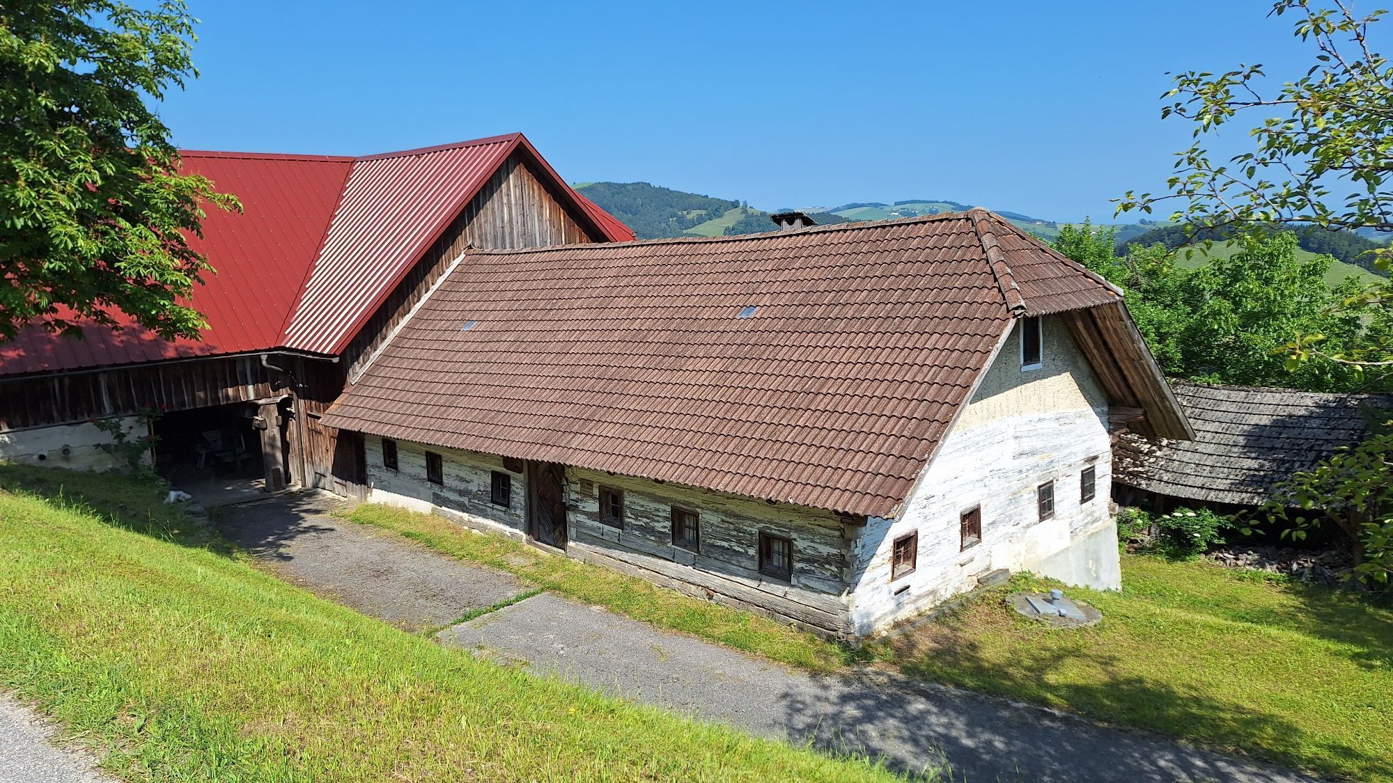
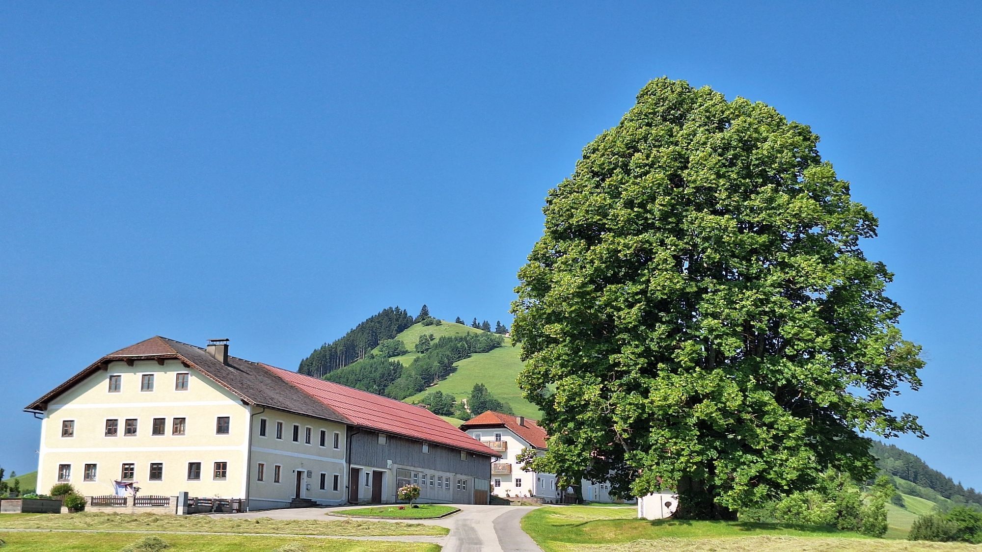
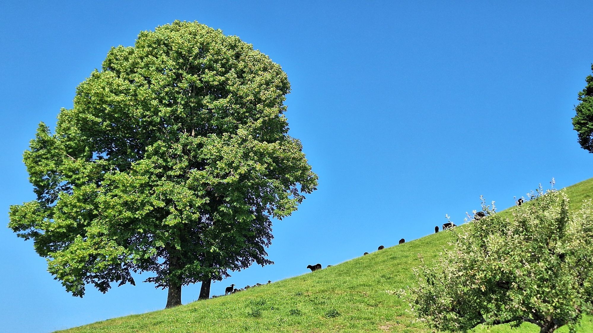
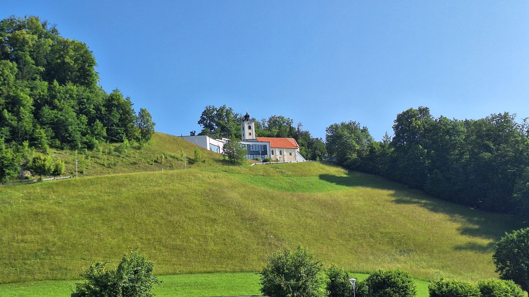
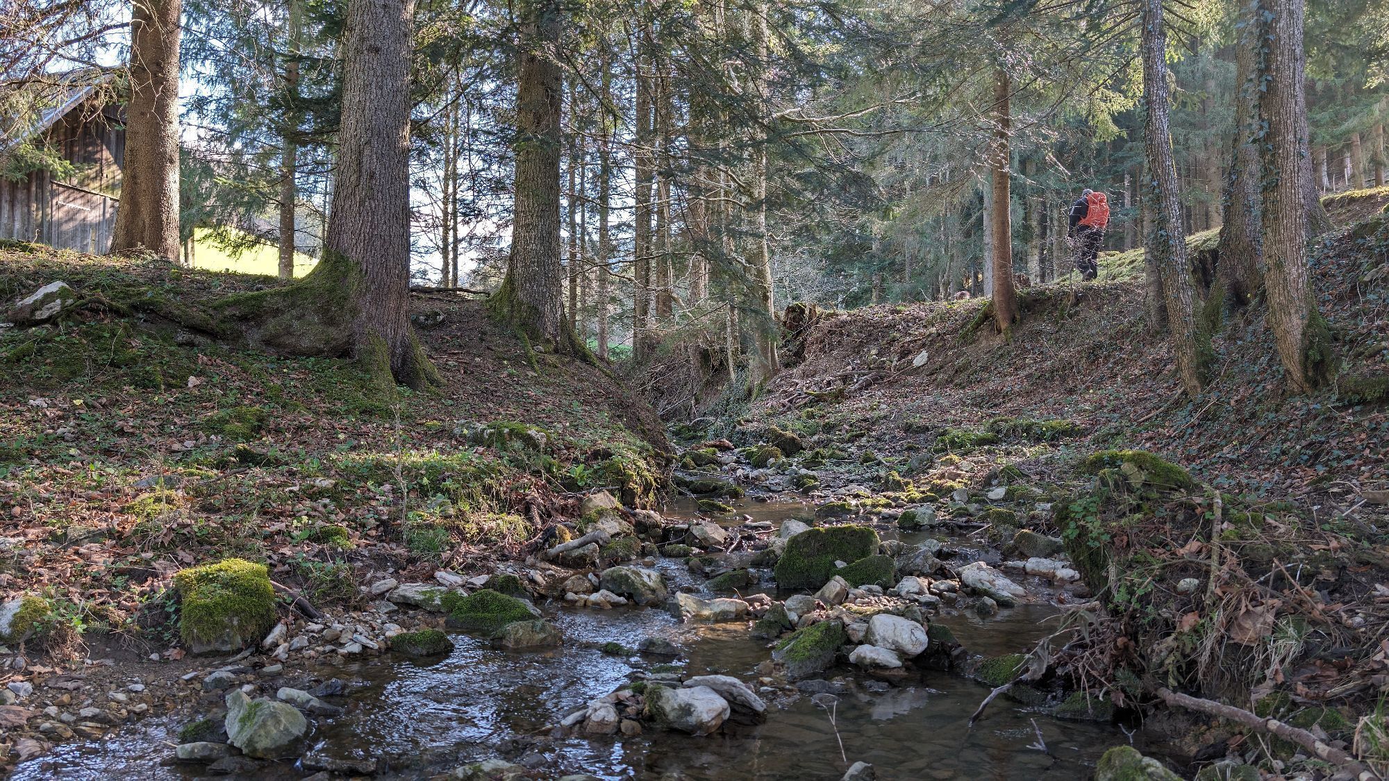
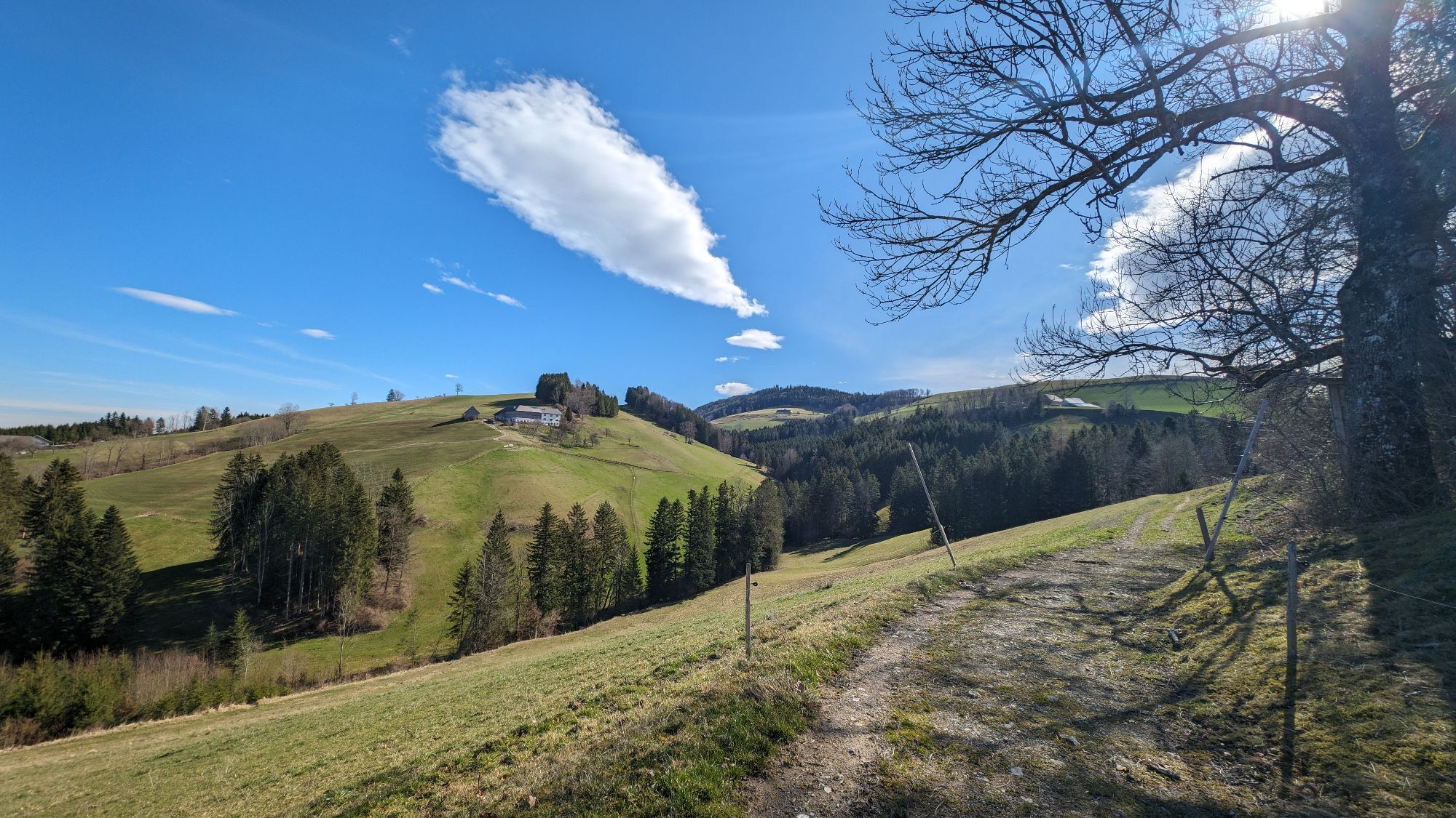
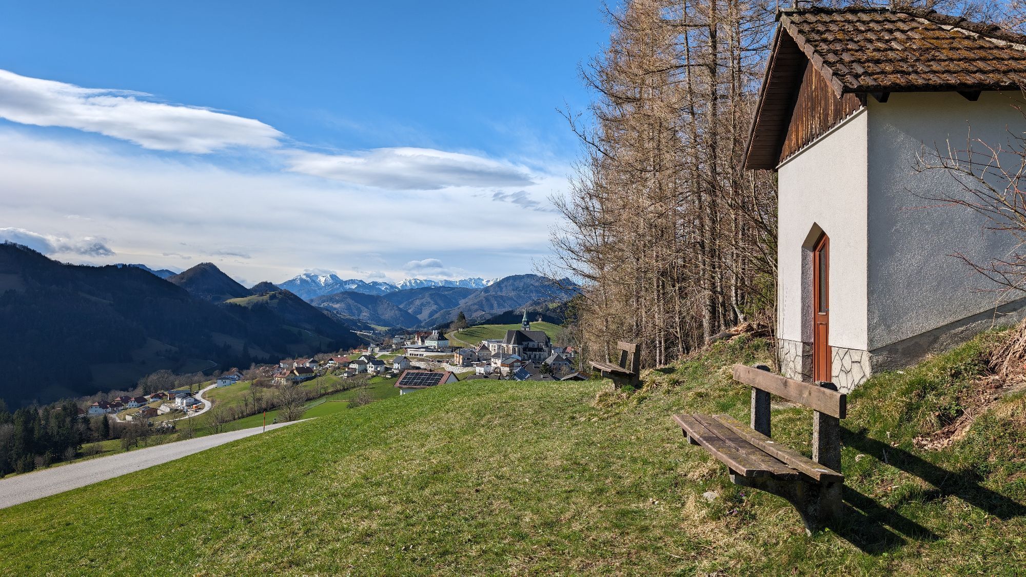
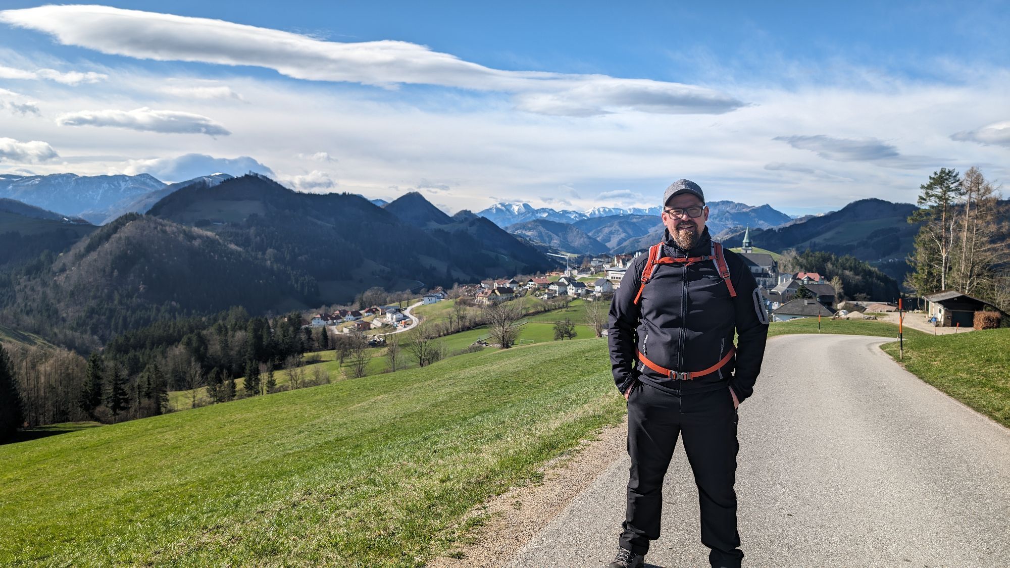
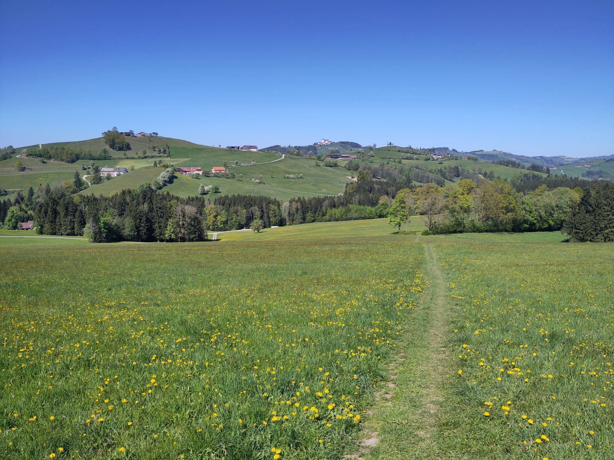
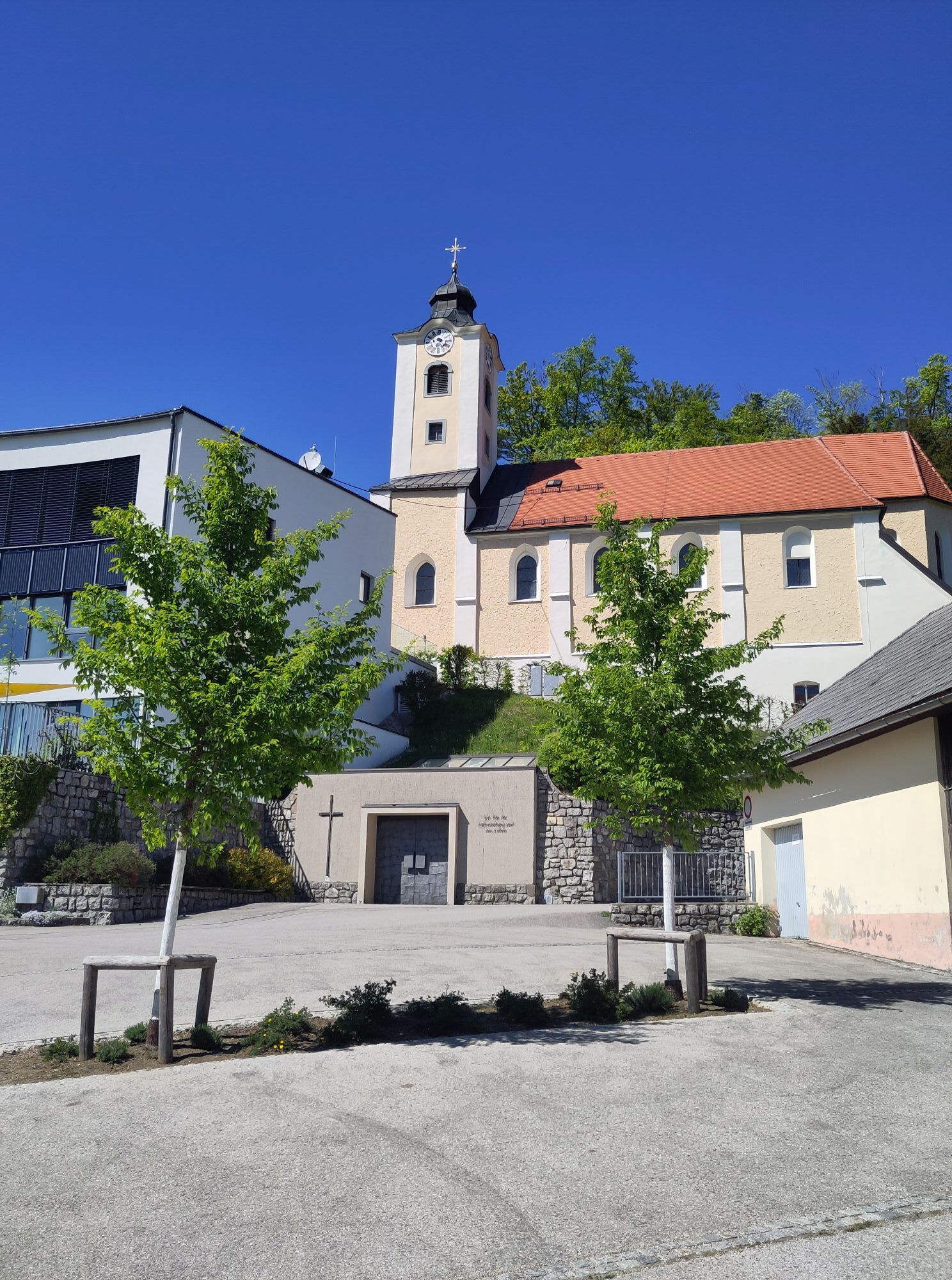
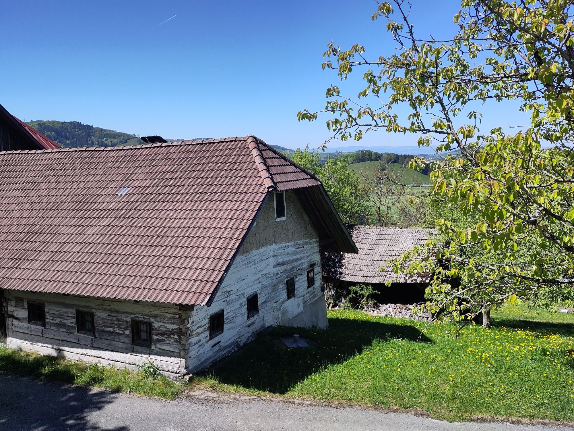
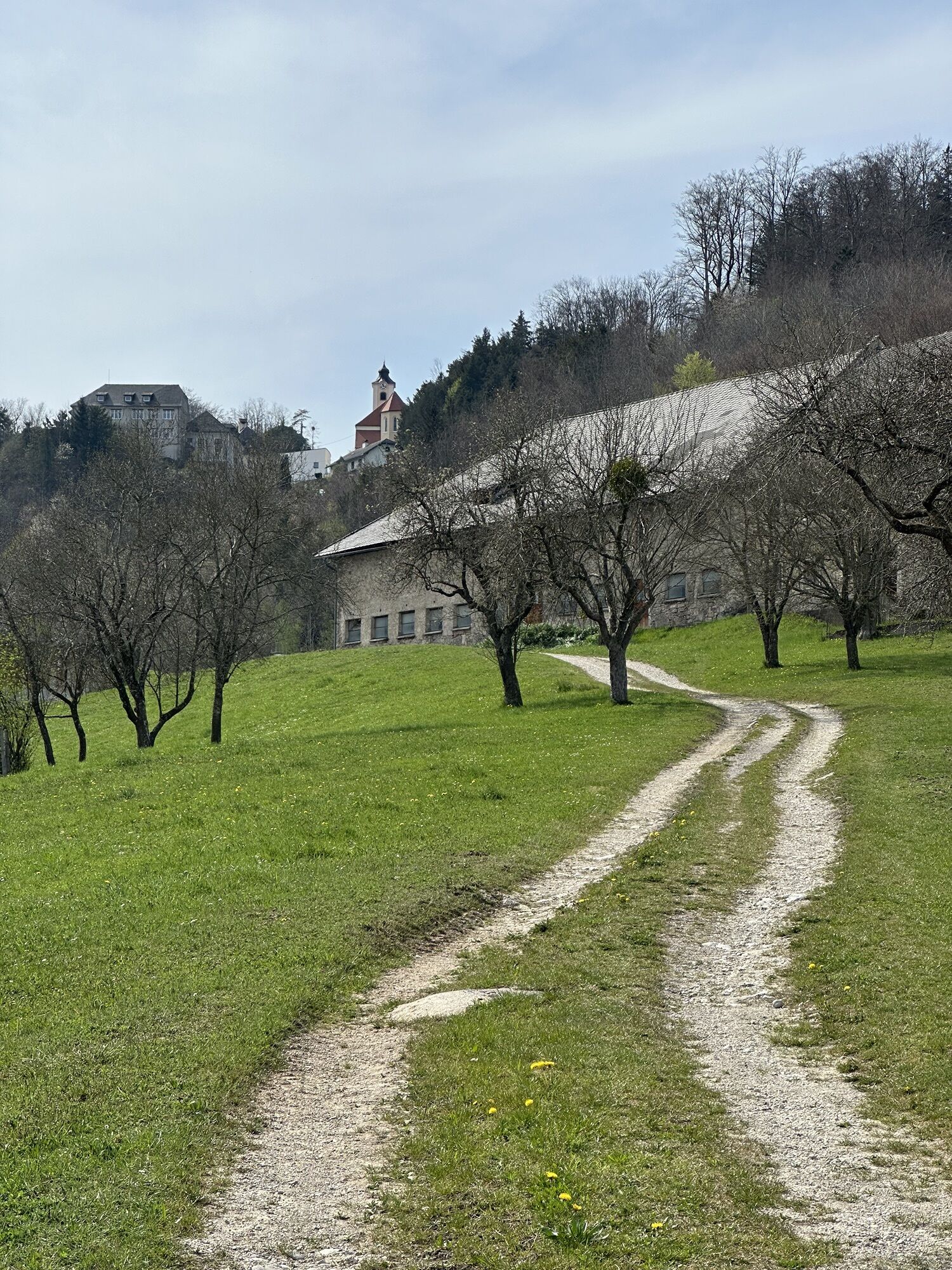
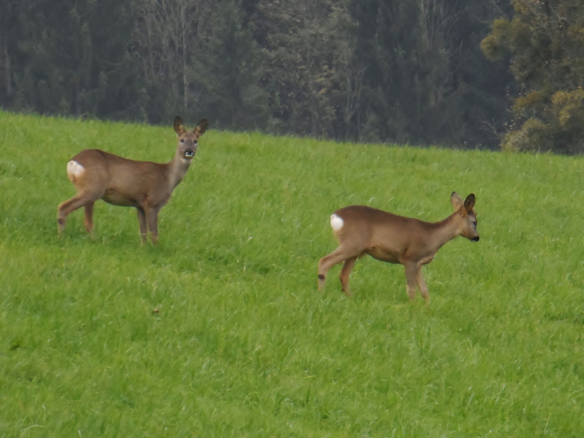
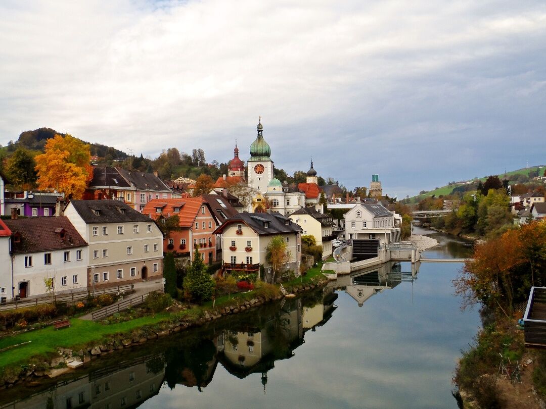
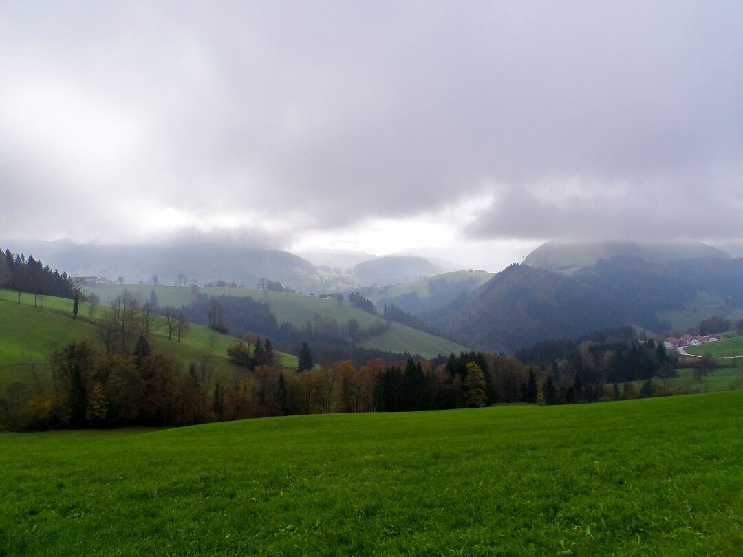
There is an interesting legend about the origins of the pilgrimage basilica in Maria Neustift: Allegedly, two feuding brothers (Lord of Gleiß near Sonntagberg and Lord of Hartweigstein from Hinterhaus Castle near Ertl) clashed in battle in the area around today's Neustift. Shortly before the supposed defeat of the latter, he vowed to build a church if he survived. Immediately afterwards, fog suddenly rolled in and the Lord of Hartweigstein managed to escape, whereupon the foundation stone for the church was laid shortly afterwards. From this historic site, we hike in a north-easterly direction up the Freithofberg and after a short time turn onto a dirt track. The path leads us through fenced pastures, we cross a stream and walk across the meadow to the next farm. Here we meet the road again at a pretty avenue of fruit trees and now walk from farm to farm through the green Mostviertel region, enjoying wonderful views of the valley and the surrounding mountains, e.g. the Elmkogel (898m), the Spindeleben (1066m), the Redtenberg (1028m) and the Schnabelberg (958m). After a long hike, we finally reach Konradsheim, which can be seen from afar thanks to the prominent hill on which the church of the small village was built. We continue across meadows and fields to Haid and it is easy to come across deer grazing peacefully on this idyllic path, which seem to have no fear of pilgrims. On the right, we can already see the Buchenberg, where the nature park of the same name is located. A little later, we come to a large chapel built on a hill, from where we already have a wonderful view of our stage destination, Waidhofen an der Ybbs.

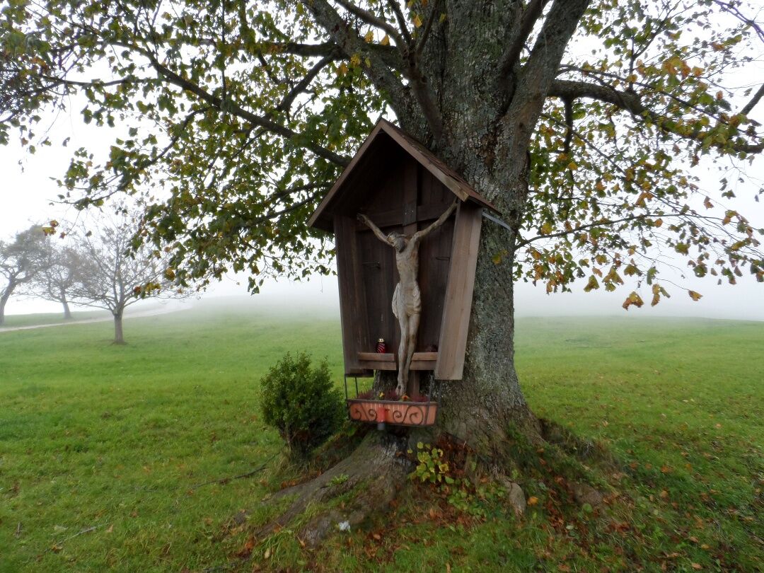

The pilgrimage leads from Maria Neustift (613m) northeast to the Lower Austria state border and over Bischhofberg (751 m) to the "Schwarze Kuchl". Further via Haunoldstein and Bichl to Konradsheim (651m, briefly steep uphill). From the parish church in Konradsheim – where overnight accommodation is available at the Gasthof Seisenbacher – the path takes us to Haid (wayside shrine), then briefly uphill and afterwards steeply downhill to Waidhofen (362 m).
If you have brought your dog on the pilgrimage, you should definitely keep it on a leash at the start of the route (where we first turn onto a field path), as we pass through several cow pastures here.
Coming from Salzburg, it is best to take the A1 to the Sattledt exit. Then follow the B122 to Steyr and continue to Maria Neustift.
Coming from Vienna, exit at Amstetten-West and stay on the B121 until you reach Böhlerwerk. At Böhlerwerk, turn right and take the L6195 and L86 to Maria Neustift.
From Steyr, bus no. 441 goes in the direction of Großraming Ennsbrücke. Stop: Maria Neustift, town center.
Around the church in Maria Neustift, there are many free parking options.
Mostviertel Tourismus GmbH
Töpperschloss Neubruck, Neubruck 2/10, 3283 Scheibbs
T +43/7482/20 444
info@mostviertel.at , www.mostviertel.at
TVB Mariazeller Land
Hauptplatz 13, 8630 Mariazell
Tel.: +43 (0)3882/23 66
Upper Austria Tourism Information
Freistädter Straße 119, 4041 Linz
info@oberoesterreich.at
www.wandern.at
Useful Maps:
ÖK 4319 Linz, ÖK 4320 Perg, ÖK 4326 Steyr,
ÖK 4202 Ternberg, ÖK 4203 Waidhofen,
ÖK 4203 Ybbsitz, ÖK 4204 Lunz, ÖK 4210 Mariazell
All at scale 1:50,000 (also available enlarged to 1:25,000)
F&B hiking maps 261 (1:50,000), 051 (1:50,000),
052 (1:50,000), 5031 (1:35,000)
Kompass 22 (Mariazell, Ötscher, Erlauftal, 1:25,000),
Kompass 212 (Hochschwab, Mariazell, Eisenwurzen, 1:50,000),
Kompass 202 (around Linz, Mühlviertel, Wels, Steyr, 1:50,000)
Important Phone Numbers:
Alpine emergency: 140, International emergency: 112
Recommended Literature:
Pilgrimage Routes to Mariazell – Volume West + South, www.styriabooks.at
Hiking Experience Mariazeller Land and Ötscher, www.kral-verlag.at
Pilgrimage Routes, www.kral-verlag.at
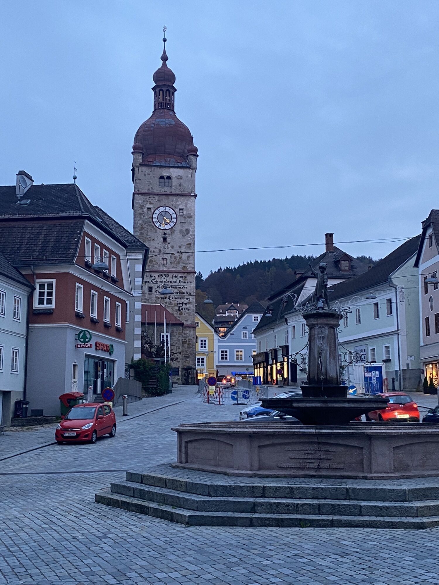
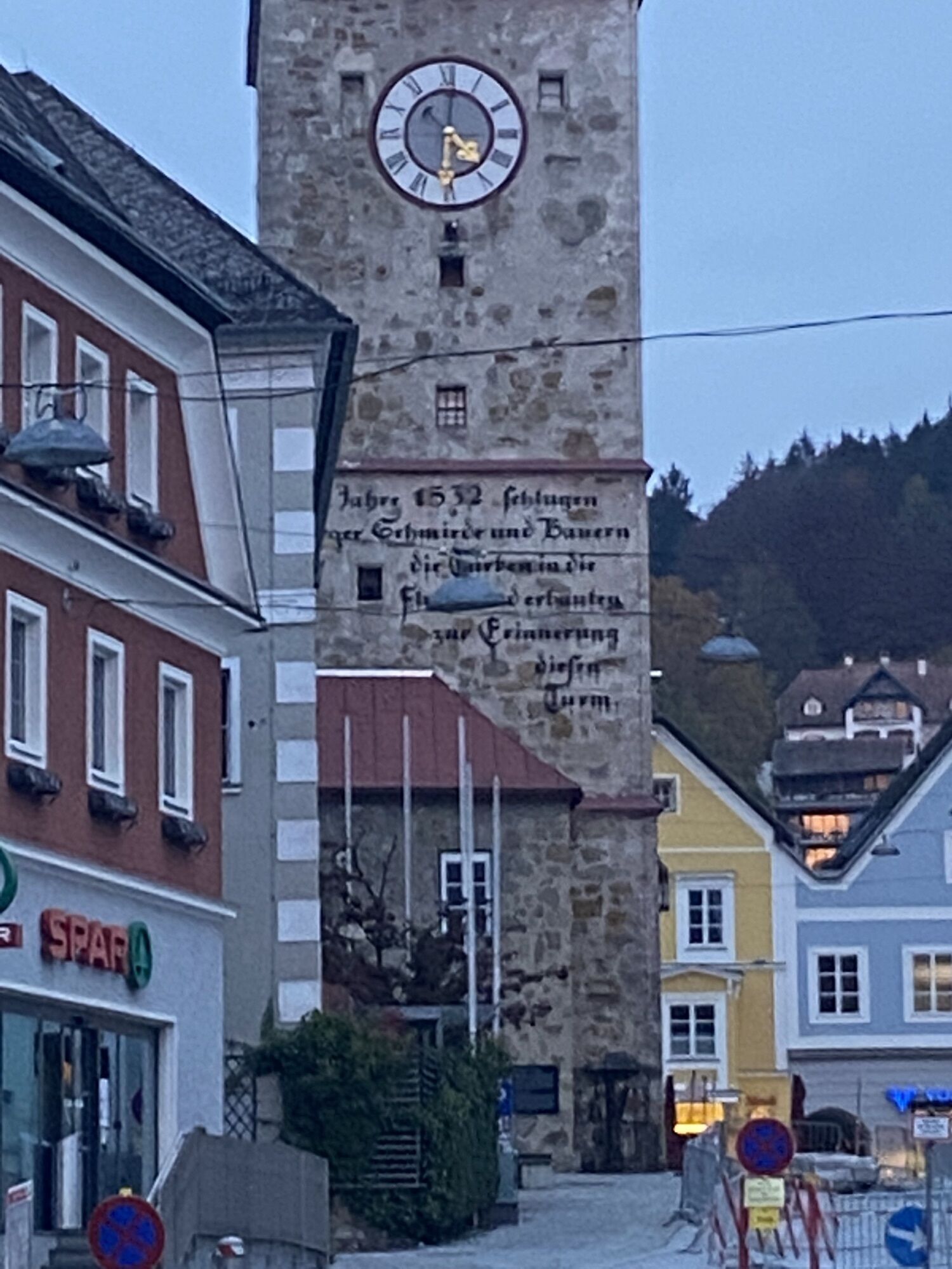
In the old town of Waidhofen a/d Ybbs, there are numerous gastronomy and accommodation establishments.
Webcams de la tournée

Parcours populaires à proximité
-
4,6
Parcours des gorges d'Opponitz
moyenRandonnée 4,42 km -
4,3
Freithofberg
moyenRandonnée 9,15 km -
4,4
Kleine Gipfelrunde Glasenberg
facileRandonnée 4,99 km -
3,8
Lindaumauer (1103 m)
Randonnée 3,40 km -
4,5
Lindaumauer, Maria Neustift
moyenRandonnée 5,53 km -
4,4
Étape 2 sur 4 du Sebaldusweg | Laussa - Maria Neustift
moyenChemin de pèlerinage 20,9 km -
4,2
Rotmäuer - Falkenstein - Kreuzberg
facileRandonnée 14,3 km -
4,5
Sebaldusweg étape 3 sur 4 | Maria Neustift - Gaflenz
moyenChemin de pèlerinage 20,4 km -
4,2
Rotstein und Schafkopf, Großraming
facileRandonnée 10,2 km -
5,0
Wolkenmauer (638m) und Hölleiten-Wasserfall ab Pechgraben
difficileRandonnée 4,42 km

Randonnée et suivi


Ne manquez pas les offres et l'inspiration pour vos prochaines vacances
Votre adresse électronique a été ajouté à la liste de diffusion.