



Danube cycle path stage 4 north bank: Grein - Emmersdorf






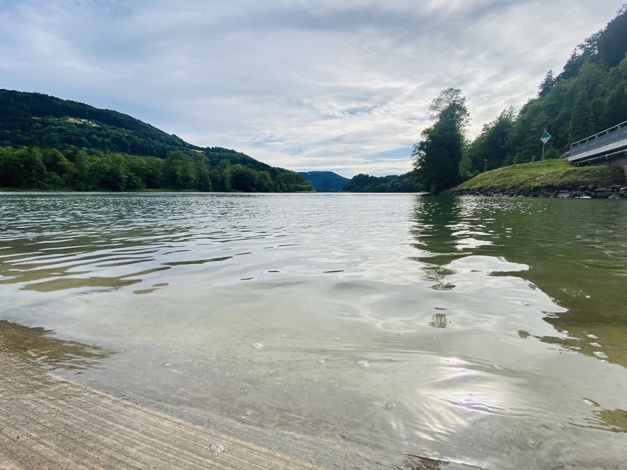
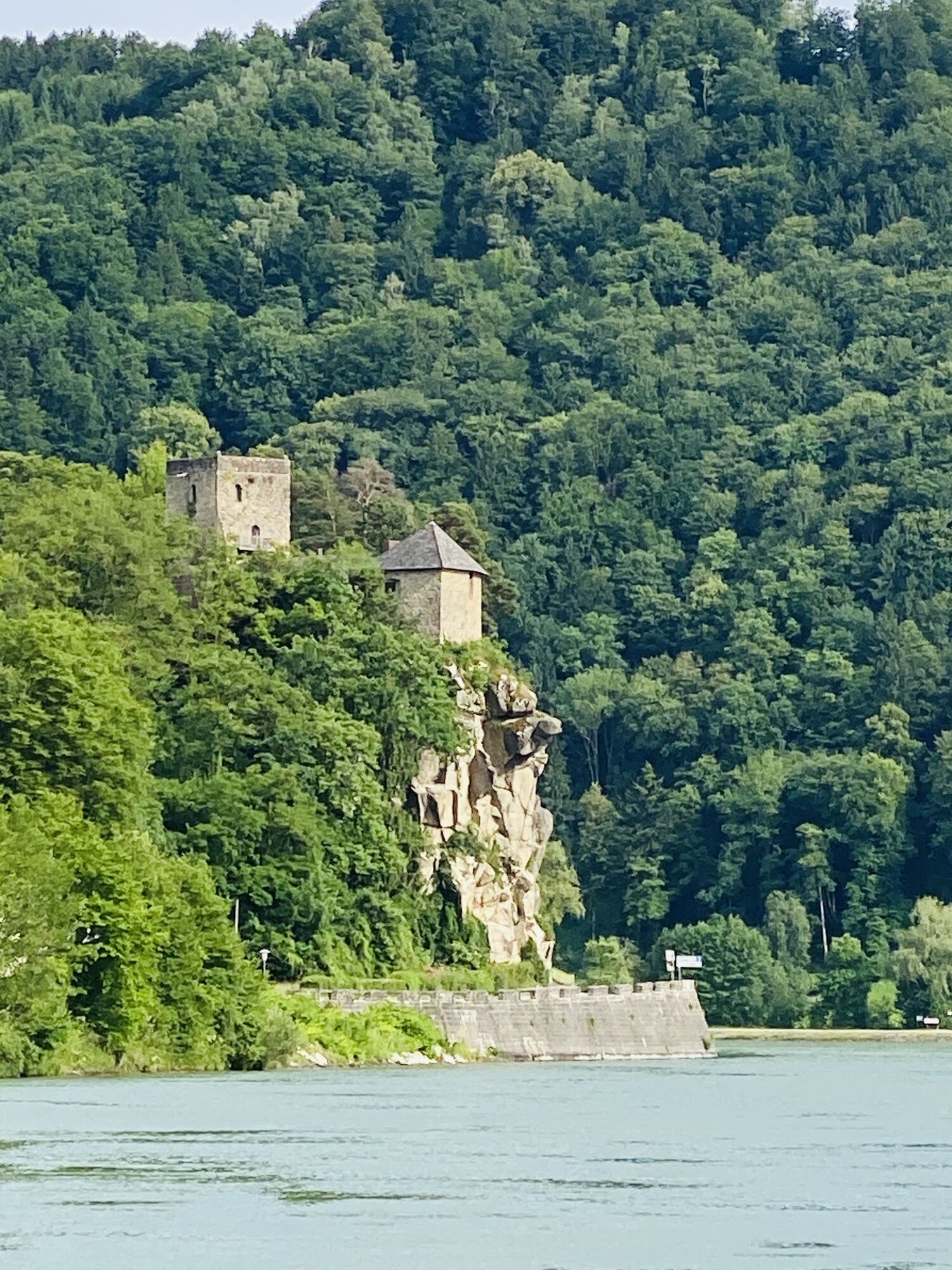
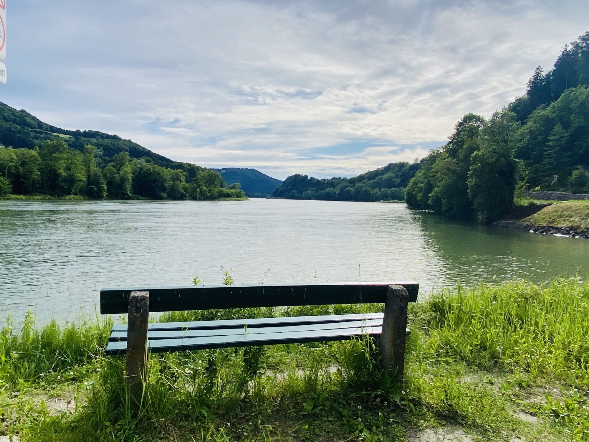
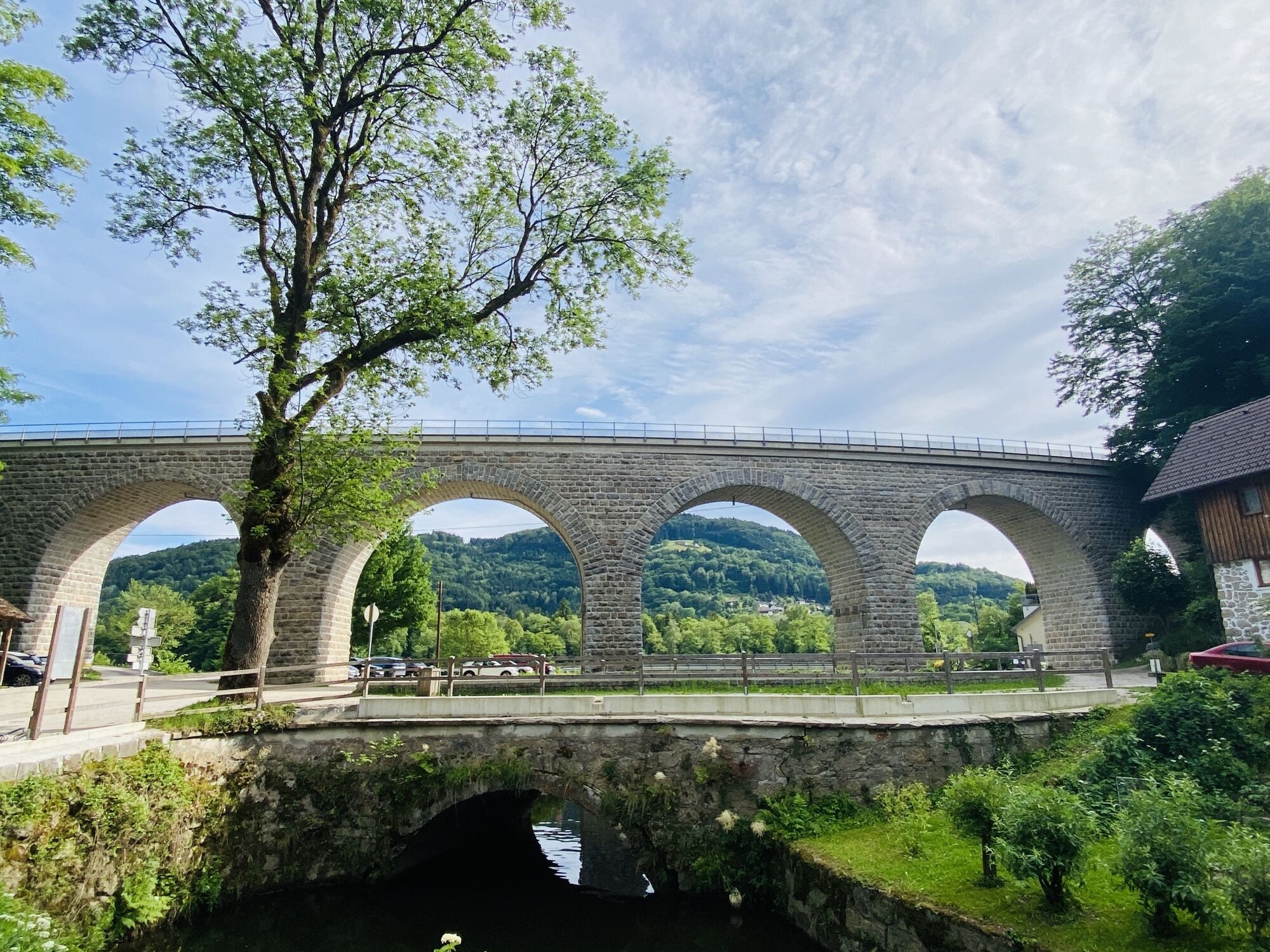








Where detours promise views
Alternate route to the Danube cycle path (south bank): Before you set off, a short walk, perhaps with a guided tour, through the charming town of Grein is recommended – across...
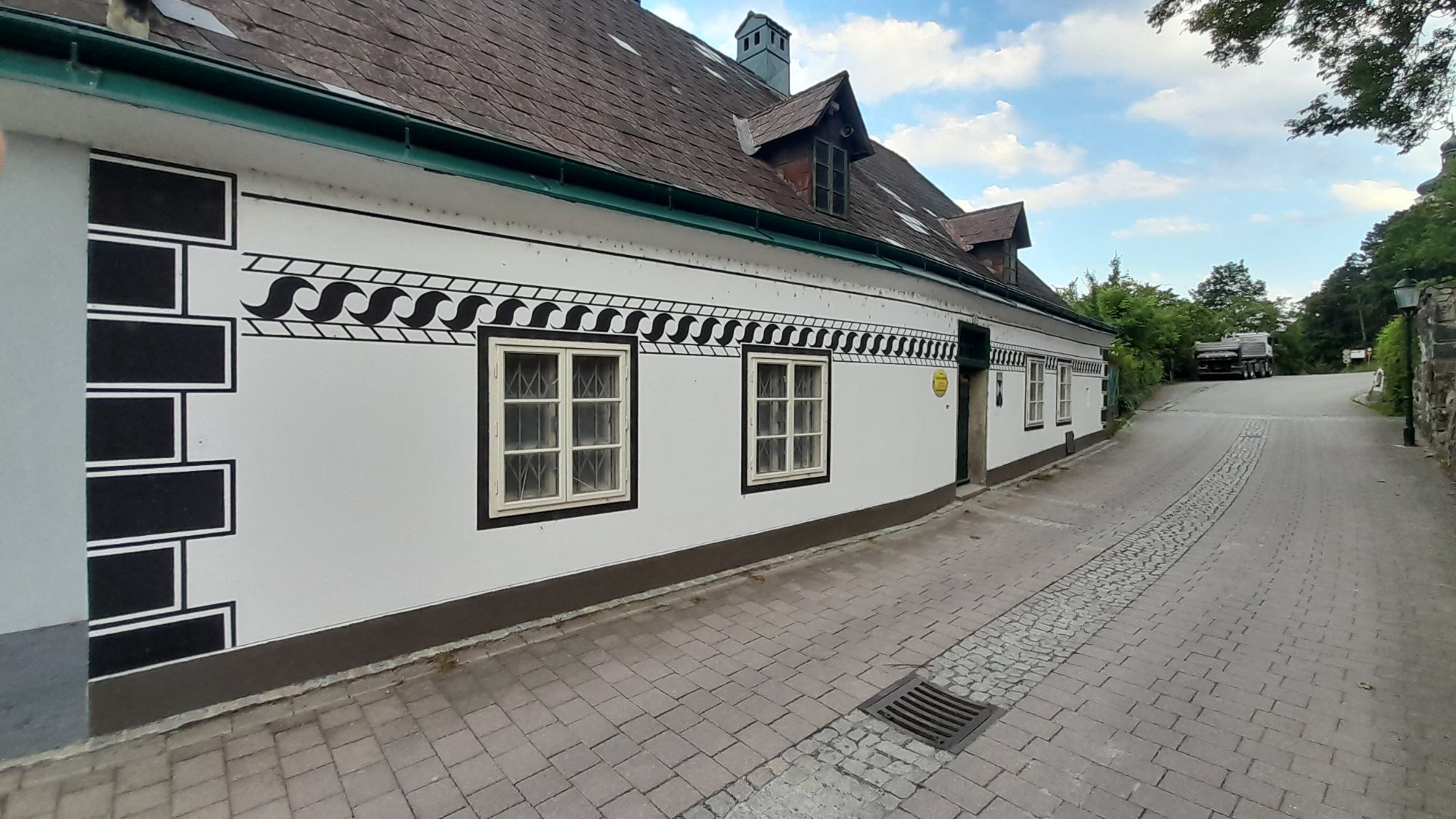
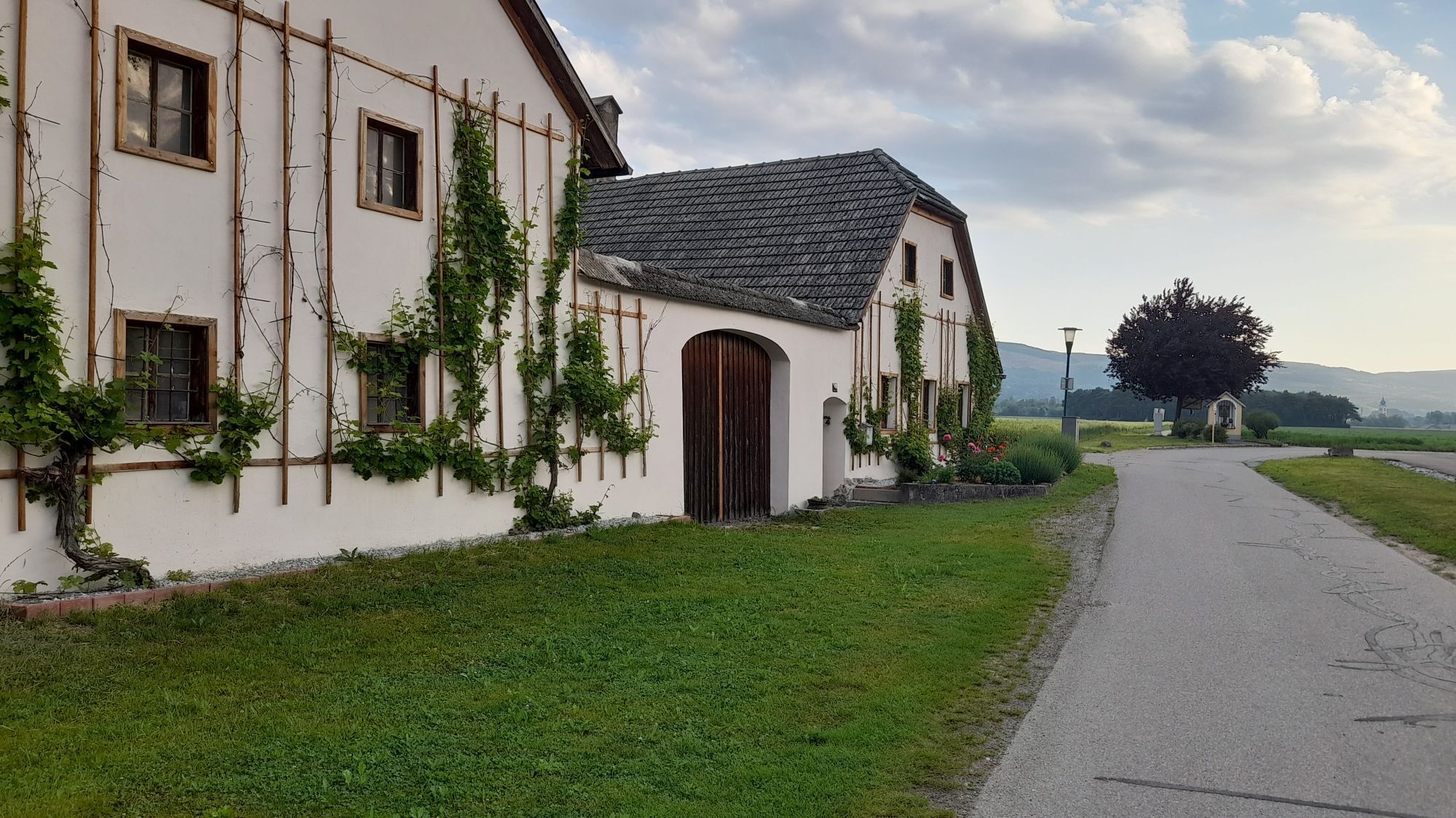
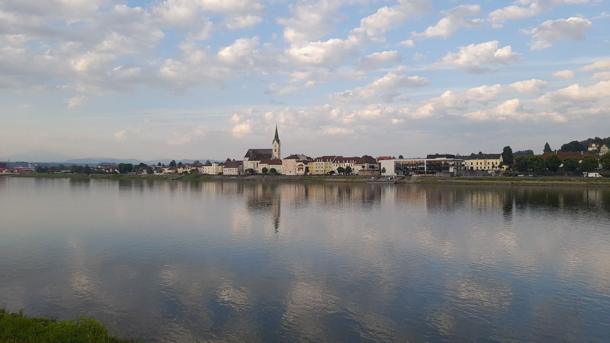
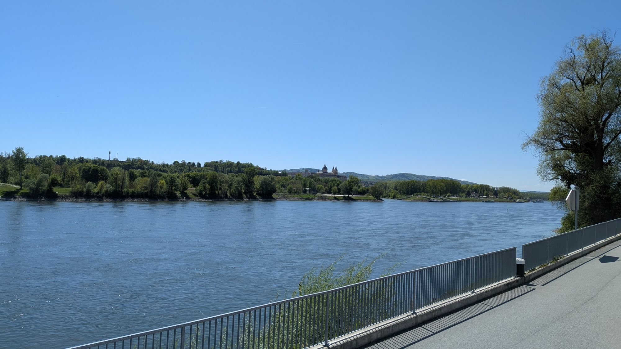
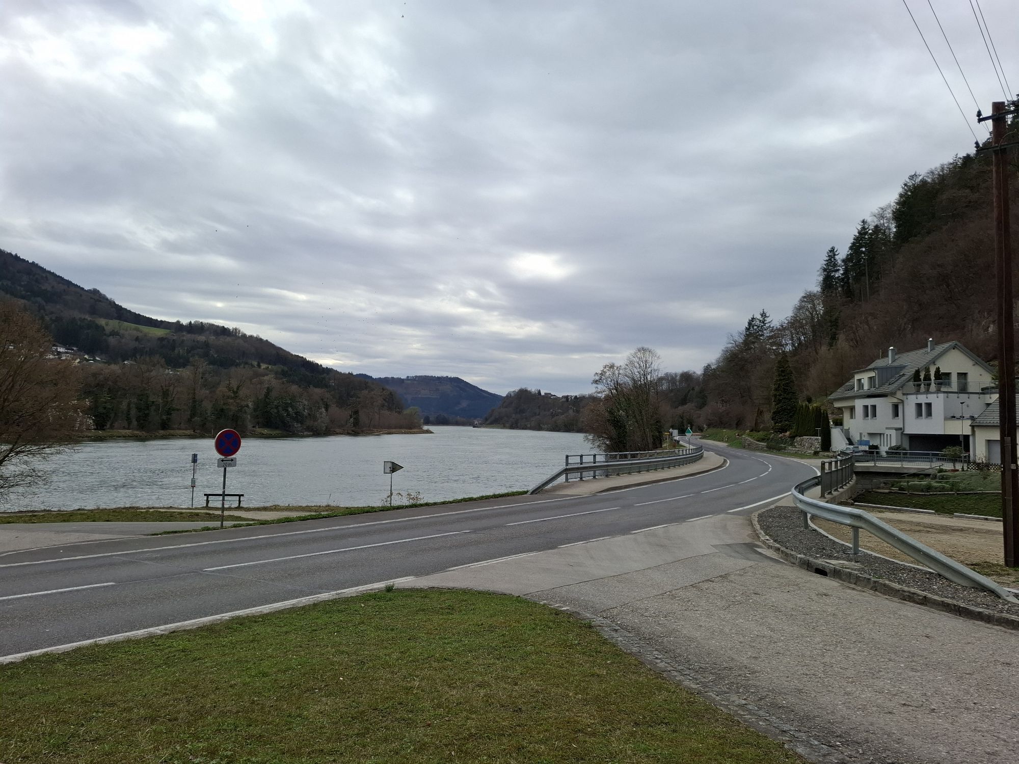
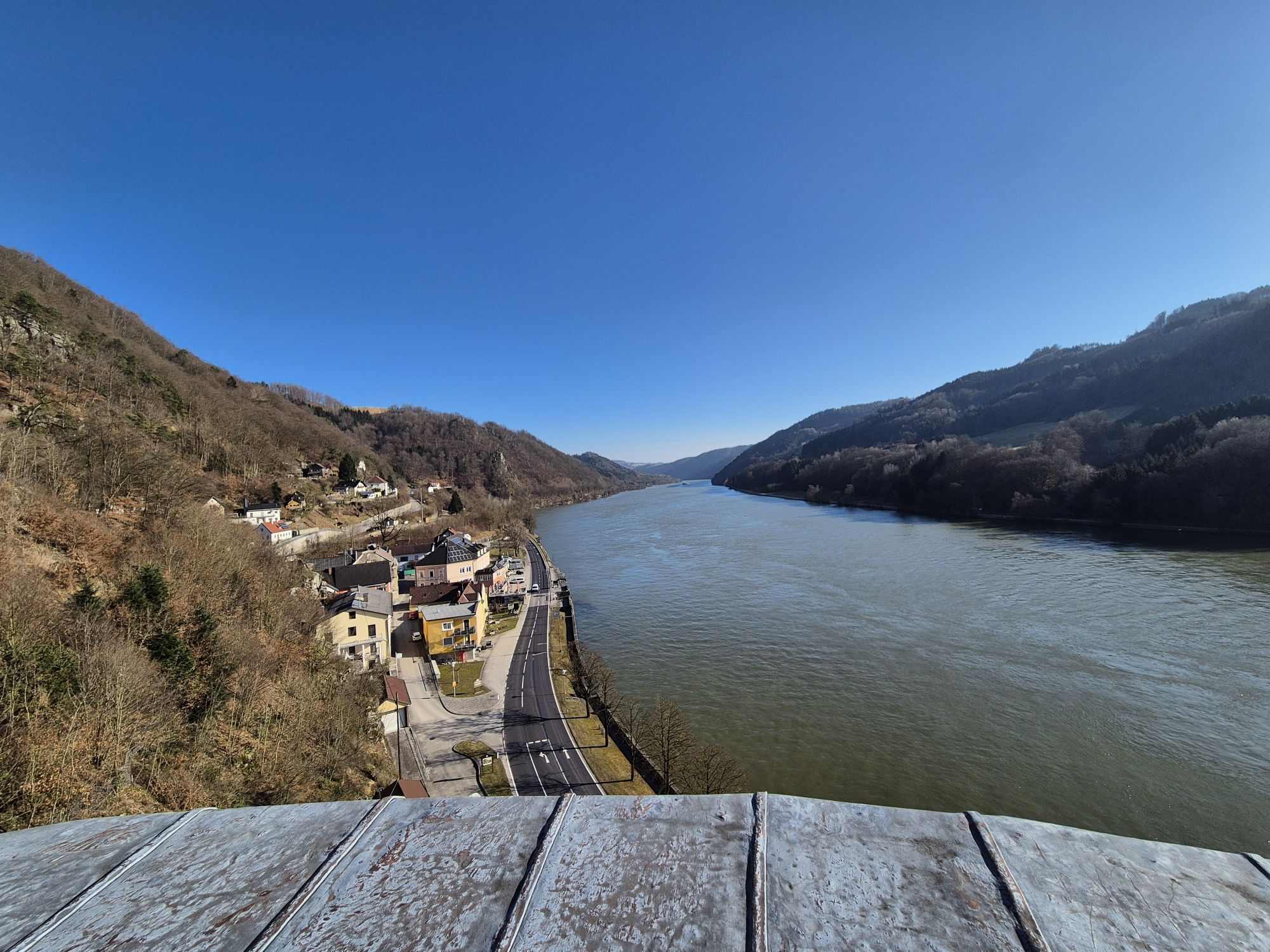
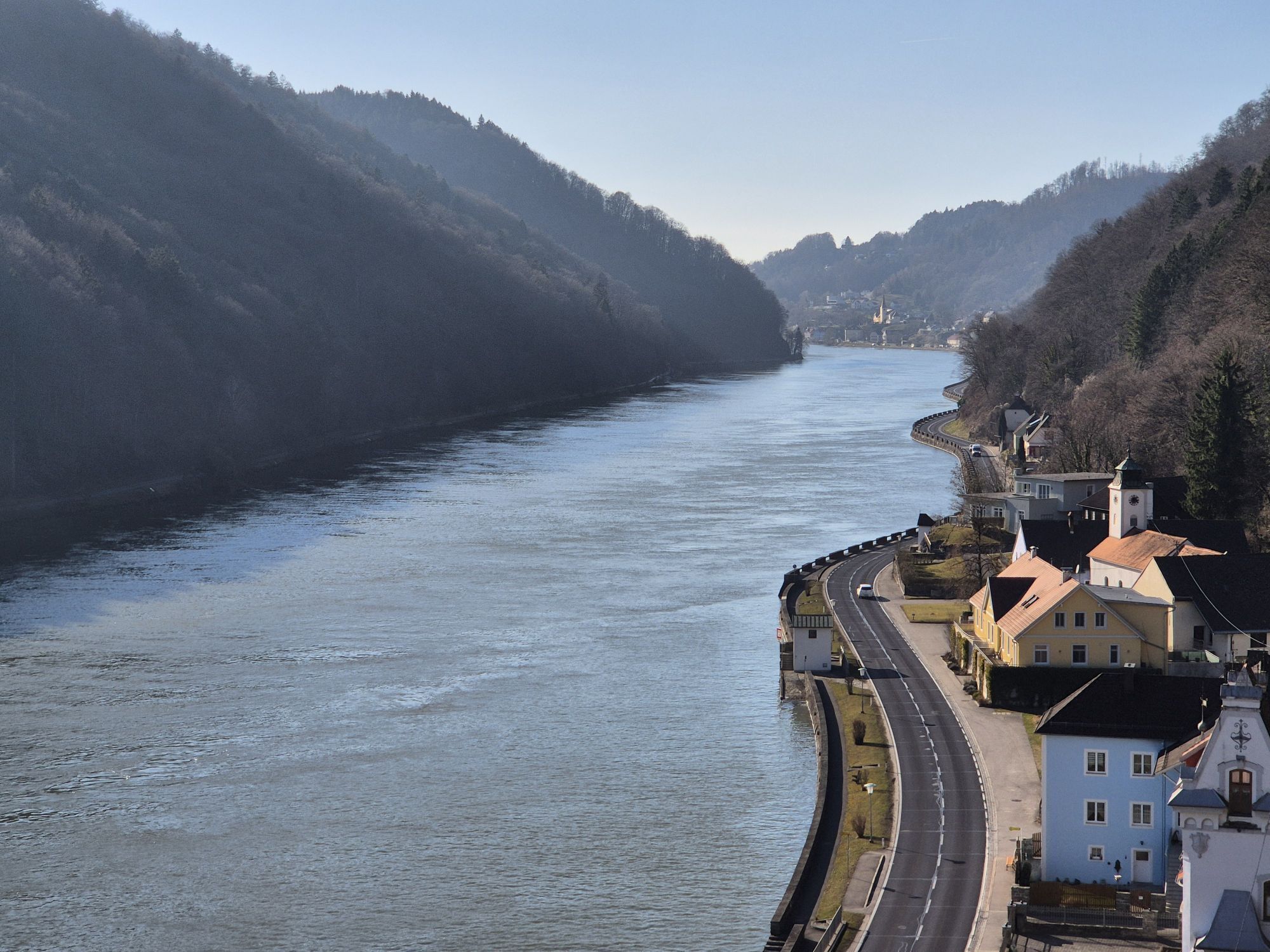
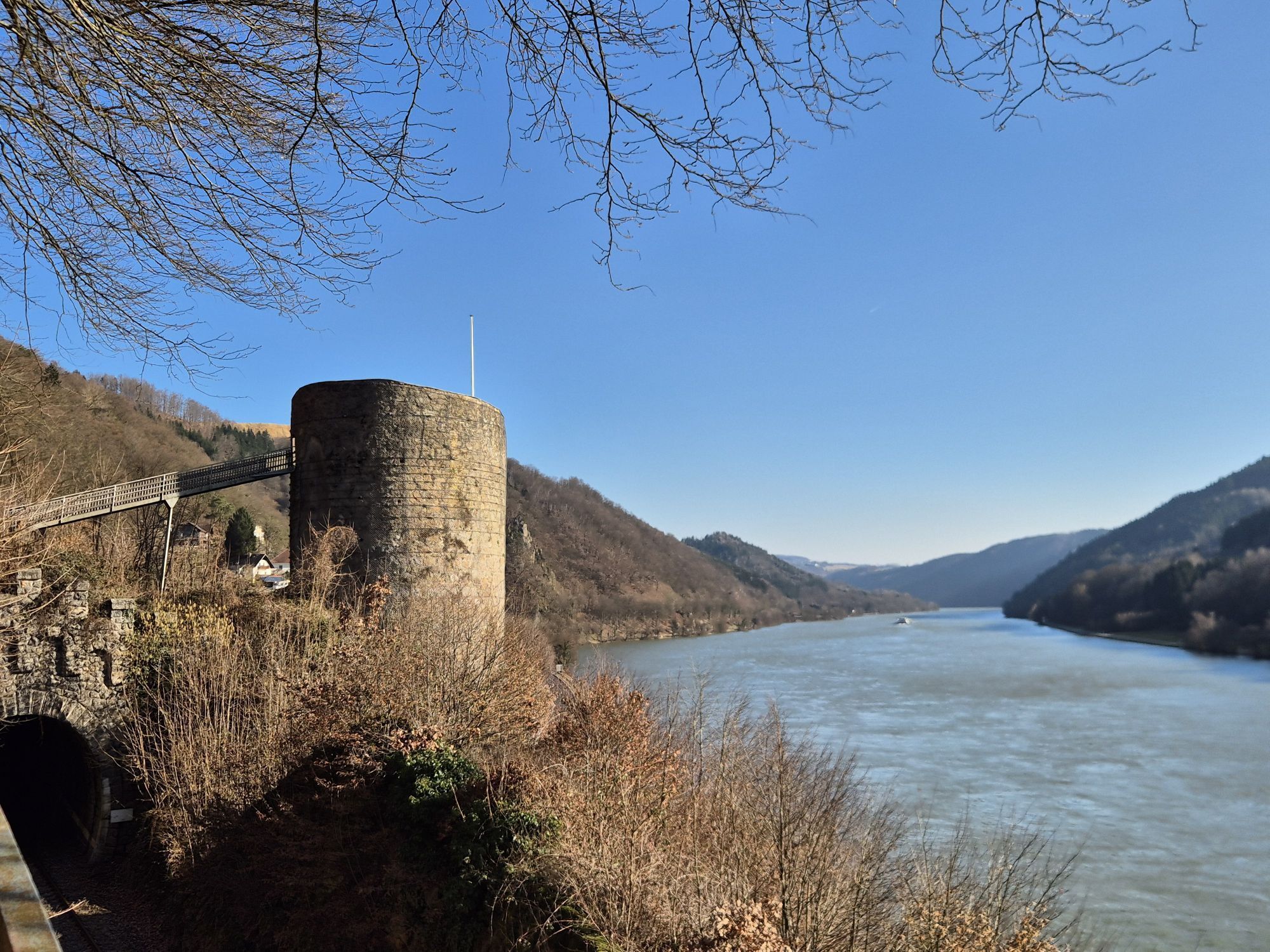
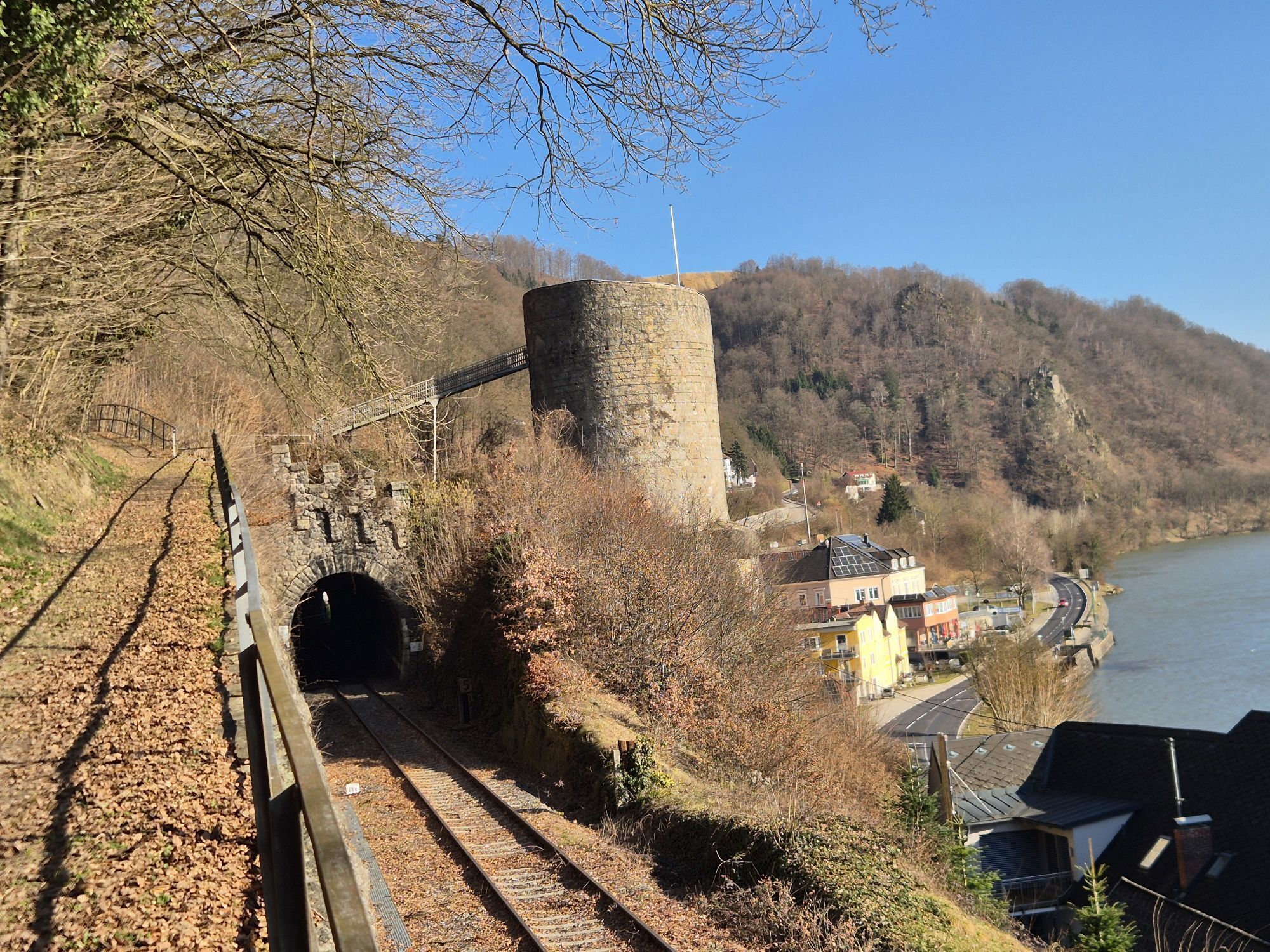
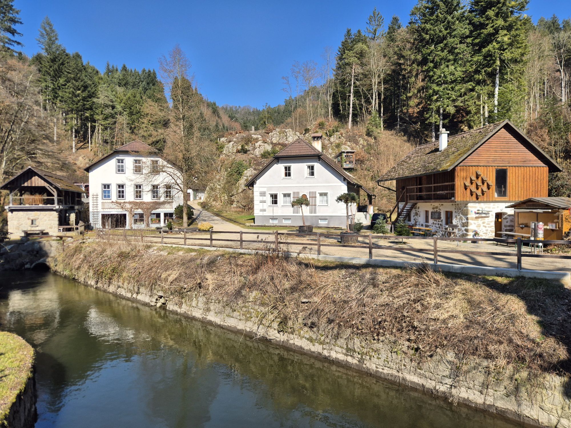
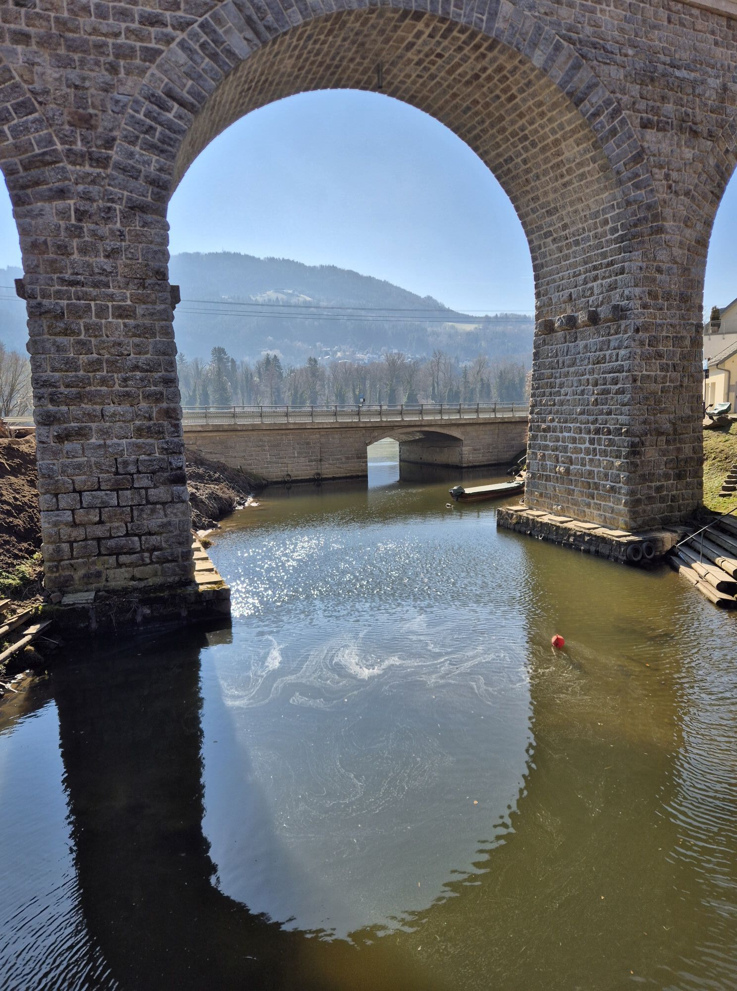
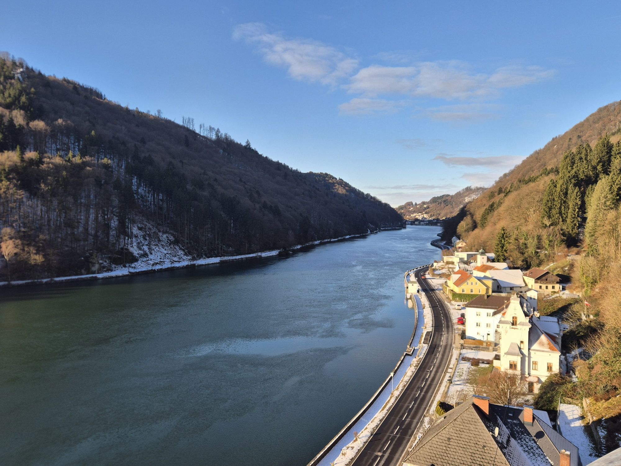
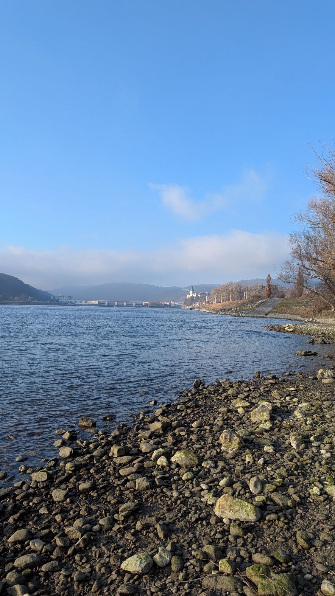
<p><strong>Where detours promise views</strong></p><p><strong>Alternate route to the Danube cycle path (south bank):</strong> Before you set off, a short walk, perhaps with a guided tour, through the charming town of Grein is recommended – across the pretty old market square to the historic town theater, the Upper Austria shipping museum, or Greinburg Castle. A visit to the nearby Stillensteinklamm with its impressive rock formations is also suggested.</p><p>Soon you will roll along the densely forested slopes of the Strudengau, whose name derives from the shallows ("Struden") in the river that once caused difficulties for boatmen.</p><p>At Struden/St. Nikola, the Werfenstein ruins rise above the Danube, from where chains were once stretched across to Wörth island in the middle of the river to stop ships. Along the romantic Danube slopes, you will pass the towns of Sarmingstein and Hirschenau, reaching Persenbeug – where one of Austria's best-known Danube hydropower plants can be toured (advance booking required!).</p><p>Two further detours lead away from the Danube: at Marbach, if you and your bike can handle some climbing, you can cycle up to the far-visible pilgrimage church Maria Taferl. From the magnificent baroque basilica, enjoy a grand view over the Danube valley. At Klein-Pöchlarn, a trip to nearby Artstetten is worth considering, where the life of Archduke Franz Ferdinand is documented in the castle. The archduke and his wife, assassinated in Sarajevo in 1914, are buried in the crypt there. At the stage destination Emmersdorf, the Danube bridge allows a visit to the sights of Melk on the opposite bank (see E4-S).</p><p><strong>We recommend:</strong> Take the ferry in Grein (or just before Grein the bridge) to the south bank and continue on the Danube cycle path there. At the Ybbs-Persenbeug hydropower plant, return to the north bank. The Danube shore railway offers a convenient trip from Grein to Sarmingstein.</p>



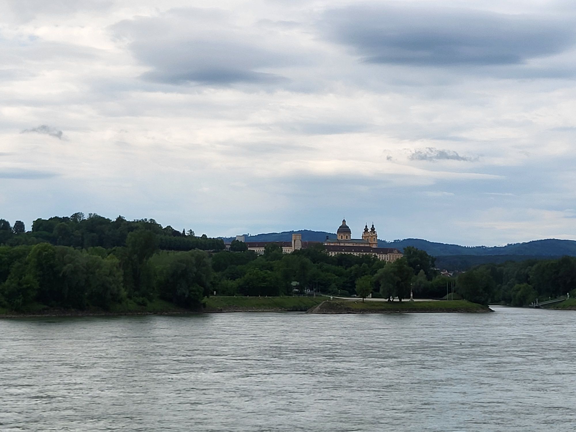
<p>Grein - St. Nikola - Weins - Persenbeug-Gottsdorf - Marbach - Klein-Pöchlarn - Emmersdorf</p><p><strong>Route description</strong> = Alternate route (from Grein to Weins: mostly bike lane, separated from the B3 by markings only.)</p><p><strong>We recommend:</strong> Take the ferry in Grein (or just before Grein the bridge) to the south bank and continue on the Danube cycle path there. At the Ybbs-Persenbeug hydropower plant, return to the north bank. With the Danube shore railway, you can conveniently travel from Grein to Sarmingstein.</p><p><strong>Alternate route:</strong> Start this route in Grein and follow the B3, which runs all along the Danube. The densely forested slopes on both sides of the river are a remarkable sight. From a distance, you can see Werfenstein Castle near St. Nikola, whose history dates back to the 12th century. After Sarmingstein (ship dock) and Hirschenau, you reach the border between Upper Austria and Lower Austria. Here, after Kalkgrub and Weins, you will pass the impressive Ybbs-Persenbeug Danube hydropower plant. At this point, you are at the transition between Strudengau and Nibelungengau.</p><p>Along the following path, you will have a beautiful view of the far-visible pilgrimage church Maria Taferl. At Persenbeug-Gottsdorf, leave the B3 and instead follow the course of the Danube, but after a short time, rejoin the federal road and follow it on to Emmersdorf. Along the way, you will pass small villages like Marbach on the Danube and Klein-Pöchlarn, which invite you to take breaks. Artstetten Castle above Klein-Pöchlarn is also definitely worth a visit. In Emmersdorf, make a detour to the opposite side of the river. In Melk, there is an old Benedictine abbey which you can spot from the cycle path. The monastery is open for visits all year round.</p>
<p>On the B3 (Danube road) to Grein.</p>
<p>Bus stop Grein ship station</p>
<p>Parking lot at the Grein campsite</p>
Verantwortlicher für den Inhalt dieser Tour
WGD Donau Oberösterreich Tourismus GmbH
Letzte Aktualisierung: 23.11.2025

Parcours populaires à proximité
-
4,7
Waldhausen : circuit panoramique
moyenRandonnée 14,0 km -
4,7
Erlaufschlucht
facileCanyoning 4,58 km -
4,6
Ausgedehnte Peilsteinrunde
moyenRandonnée 13,7 km -
4,9
LAIMBACH Ostrong Peilstein 20220716
moyenRandonnée 7,70 km -
4,6
Purgstall Route 3 entlang der Erlauf und Umgebung
facileRandonnée 11,6 km -
4,5
Durch die Steinwandklamm von Maria Taferl aus
facileRandonnée 8,26 km -
4,6
Herzsteinweg Ysper und Burgsteinmauer
moyenRandonnée 14,7 km -
4,8
Kaiser-Strecke
VTT 29,0 km -
4,6
Panoramarunde Hengstberg mit Schihütte (Hengstberghütte)
moyenRandonnée 9,50 km -
4,7
"Donau-Tour" aus der Karte alpenvorlandRADELN
facileFaire du vélo 53,4 km
Randonnée et suivi


Ne manquez pas les offres et l'inspiration pour vos prochaines vacances
Votre adresse électronique a été ajouté à la liste de diffusion.


