


BIKE & HIKE Ebensee - Bromberg mit Wanderung Petergupf


Rad: 31.5 km, 880m, 2:40, leicht Wanderung: 5.7 km, 520m, 2:20, Loskogel: mittel, Petergupf: schwer
Rad:
Nebenstraße ab Ebensee (rechts von Autobrücke). Bei Steinkogel die Traunbrücke nehmen, vorbei...
Rad: 31.5 km, 880m, 2:40, leicht
Wanderung: 5.7 km, 520m, 2:20, Loskogel: mittel, Petergupf: schwer
Rad:
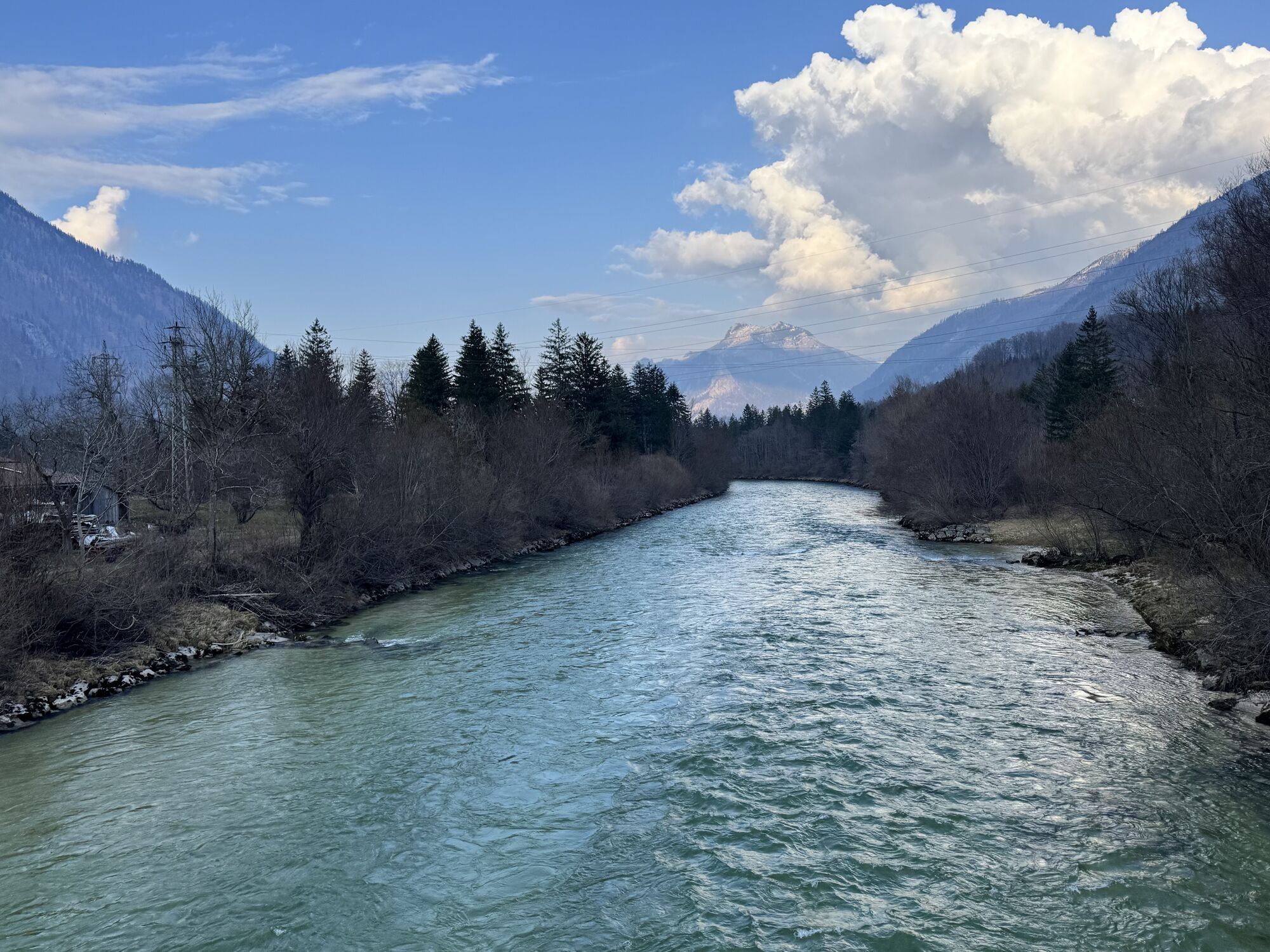
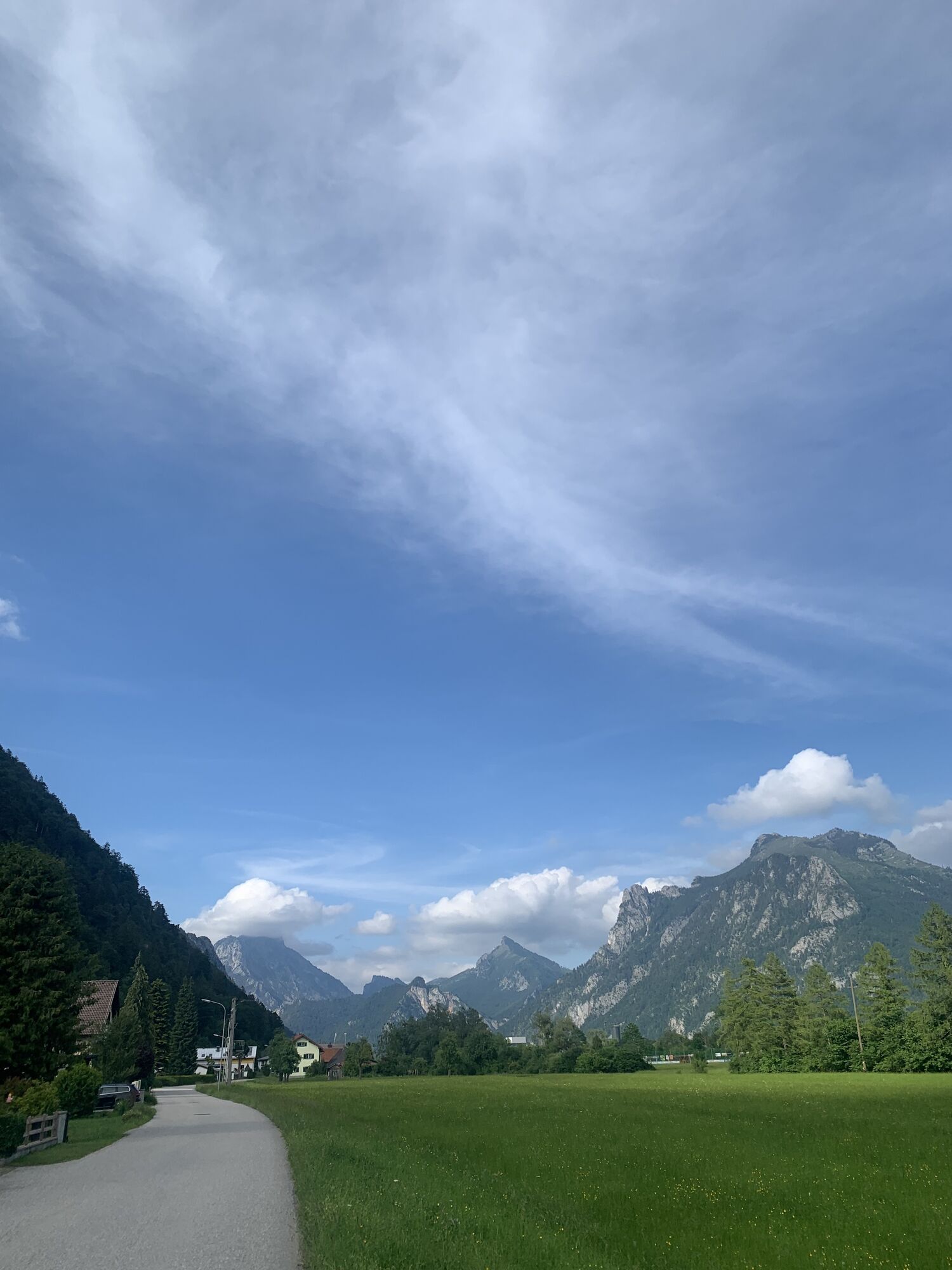
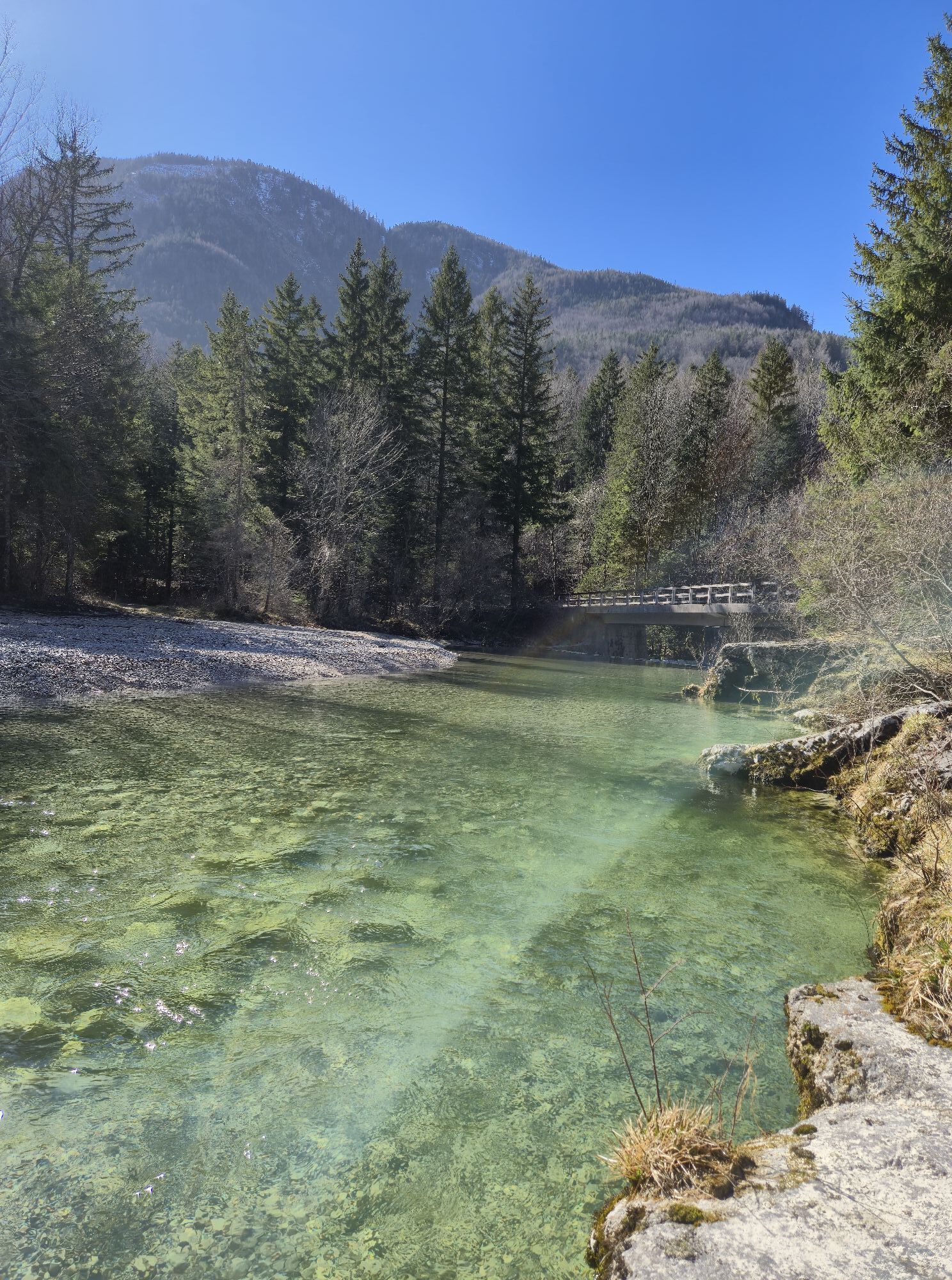
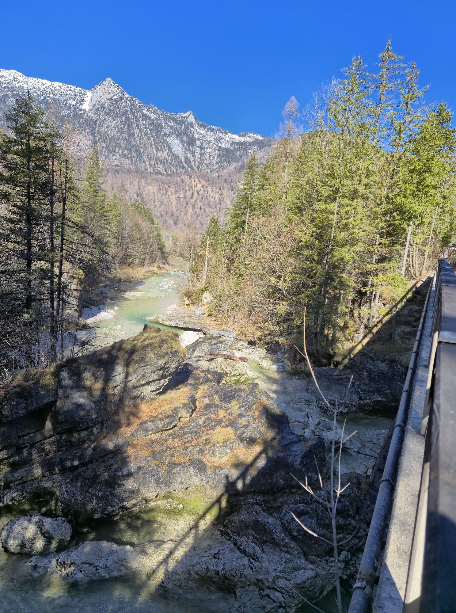
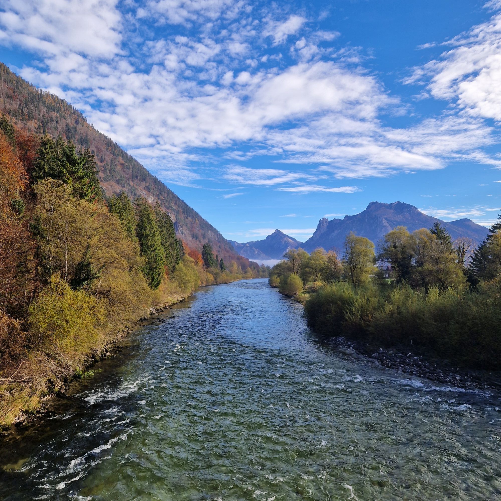
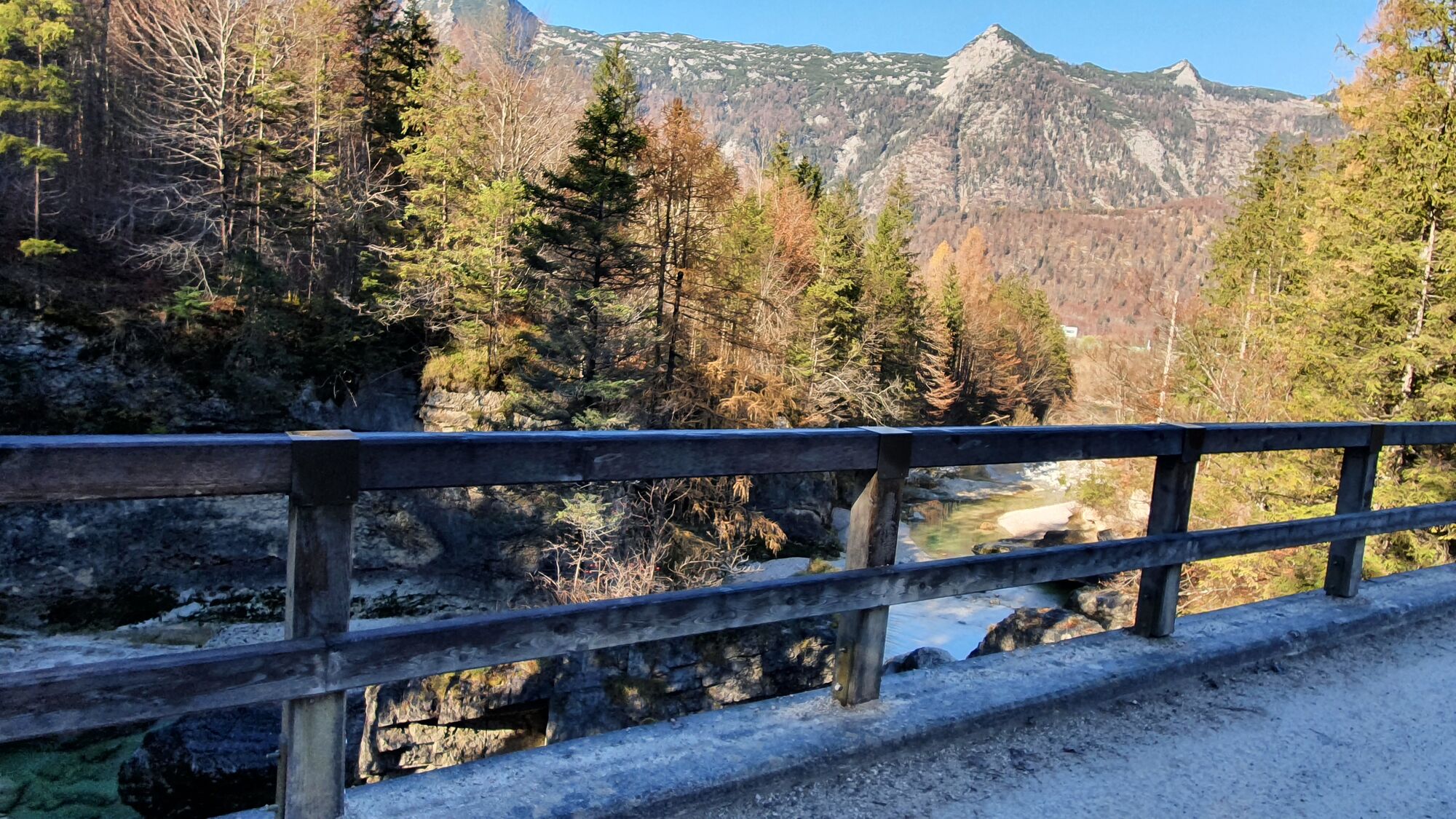
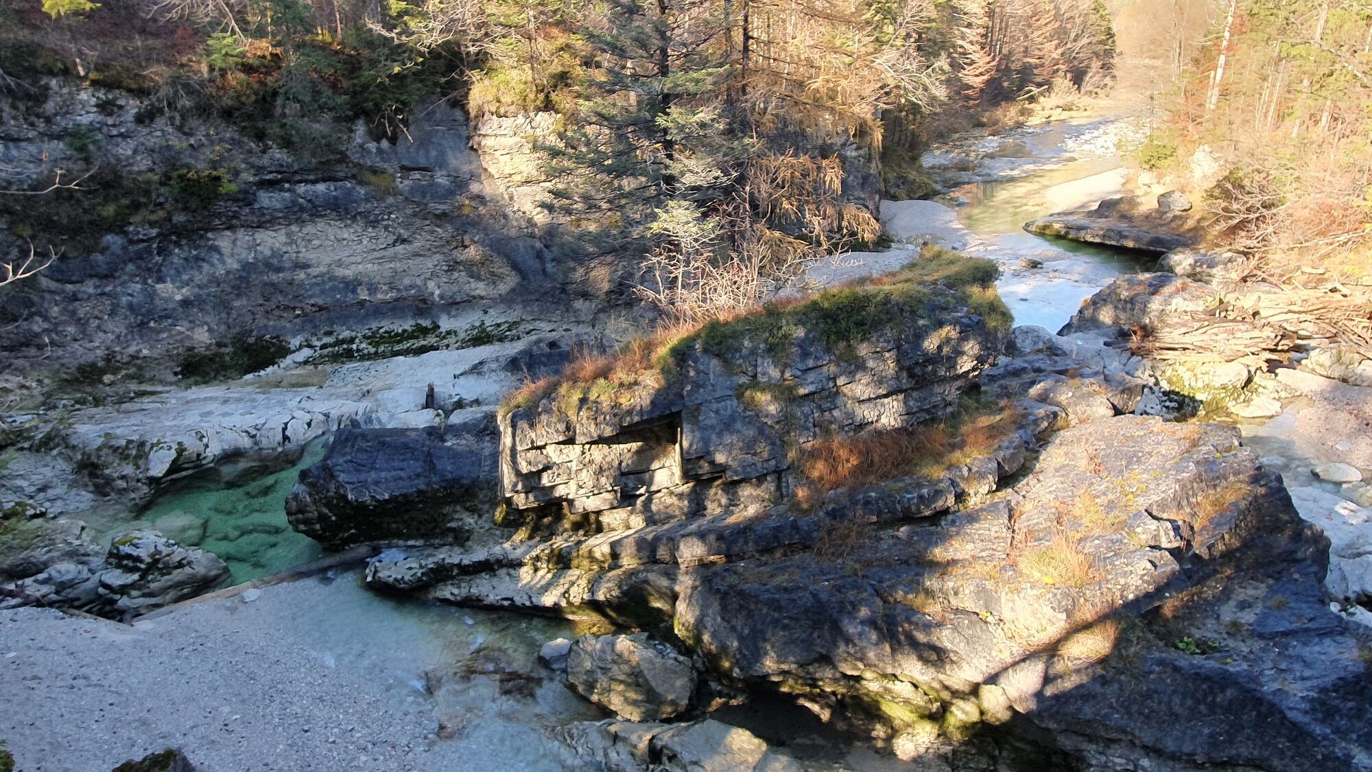
Nebenstraße ab Ebensee (rechts von Autobrücke). Bei Steinkogel die Traunbrücke nehmen, vorbei an der Saline und der Brücke über den felsigen Frauenweißenbach, und schon geht's hinauf die offiziell markierte Bromberg-Runde.
Bei der Gabelung auf 750m fahren wir vorerst links weiter. Gesamte Radtour auf schöner Schotterstraße.
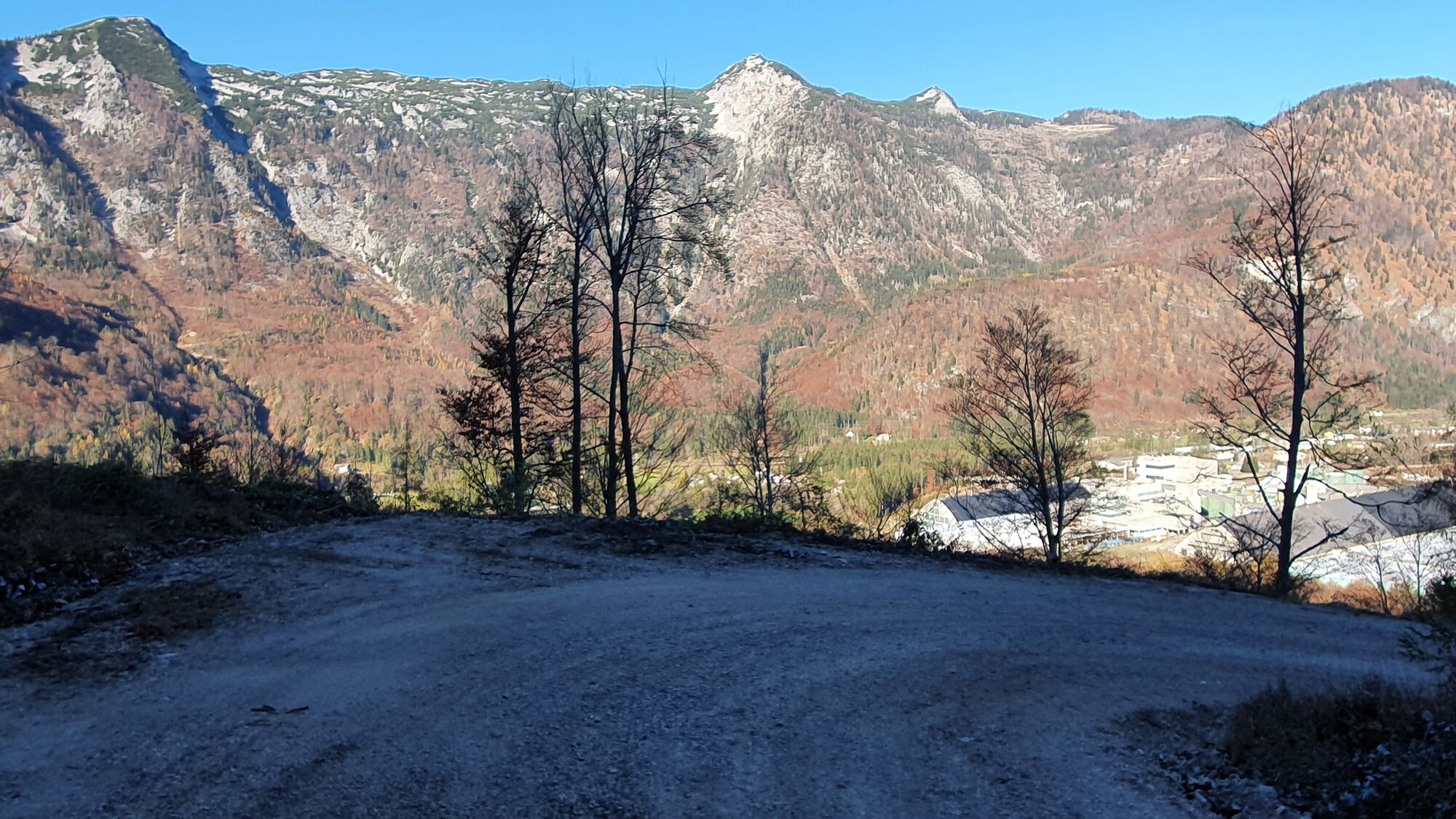
Auf ca. 1220m ein schöner Aussichtspunkt mit Bankerl. Knapp danach Radfahrverbot. Nun geht es ganz kurz leicht hinunter zu einem Parkplatz auf 1280m für einheimische Wanderer. Ab dort beginnt der sehr steile Karrenweg. Meiner Ansicht nach würde sich der Parkplatz besser als Raddepot eignen als beim Verbotsschild.
Wanderung:
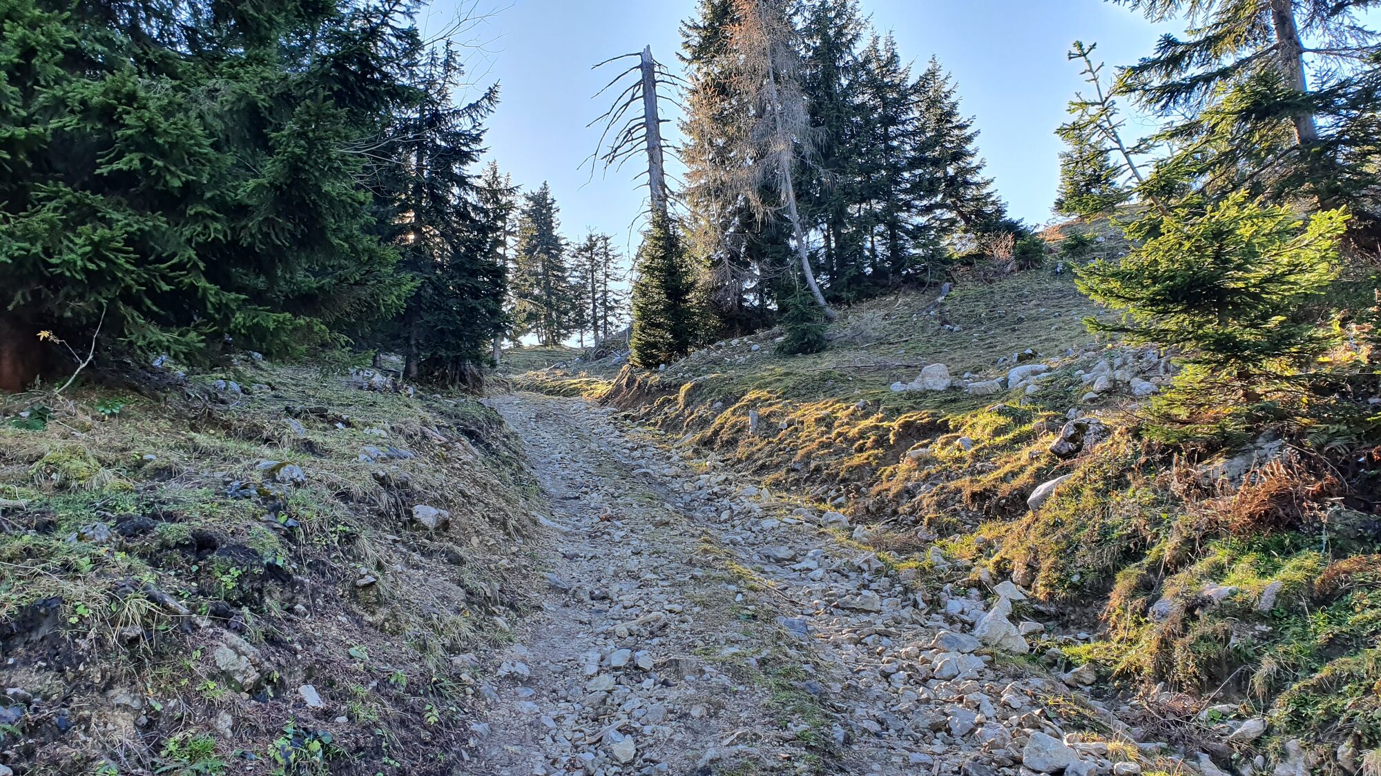
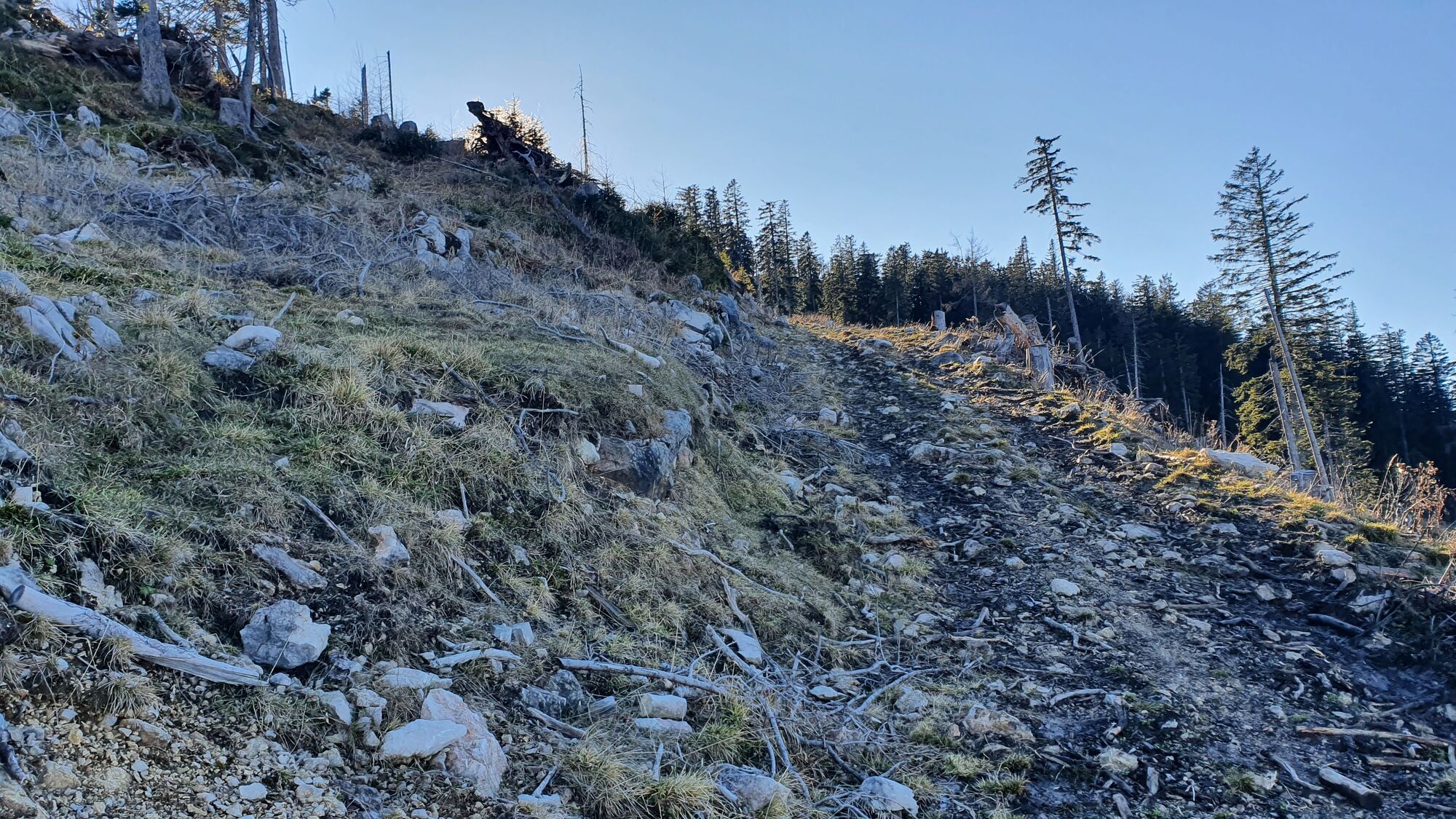
Karrenweg mit 3 Steilstufen bis Brombergalm, die erste beim Kesseleck auf lockeren Schotter.
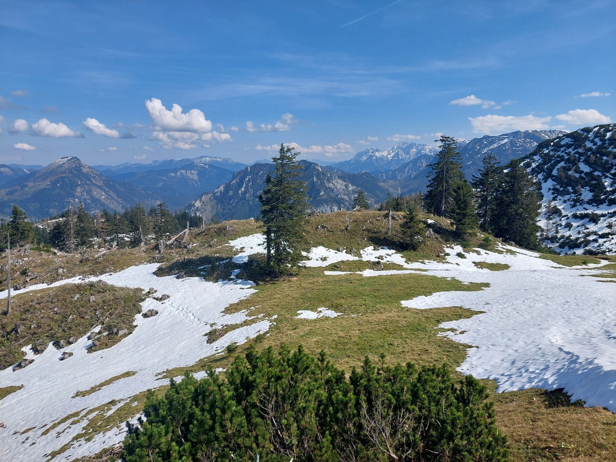
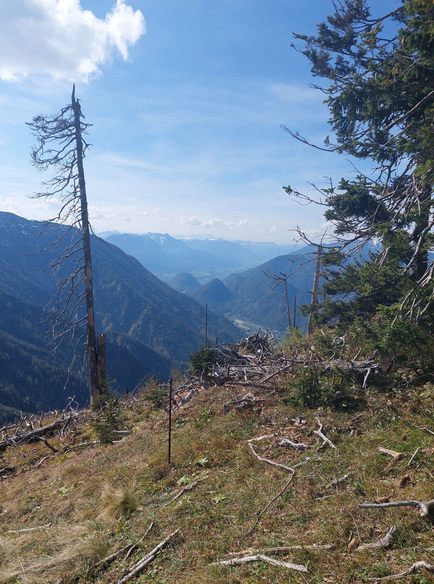
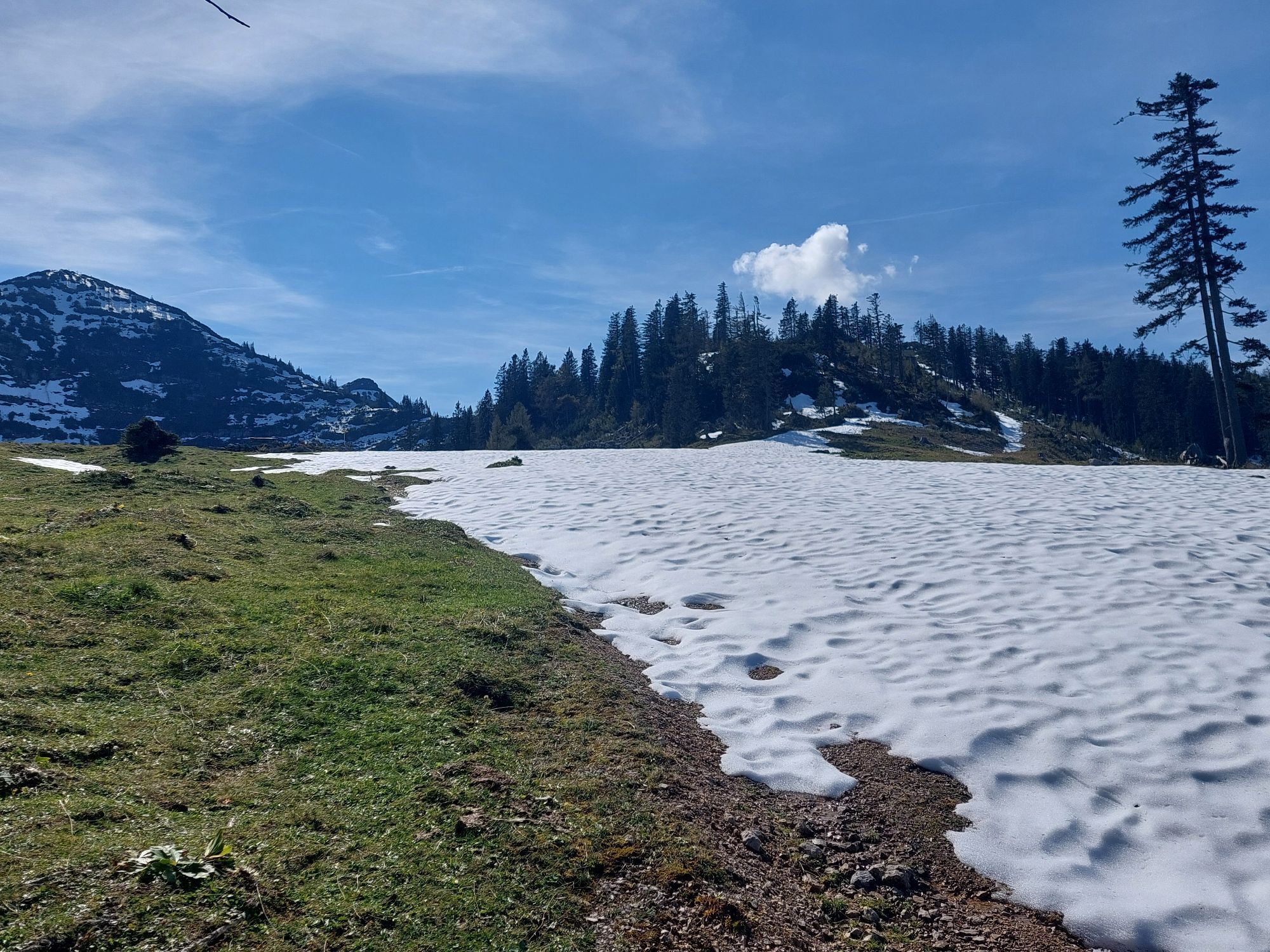
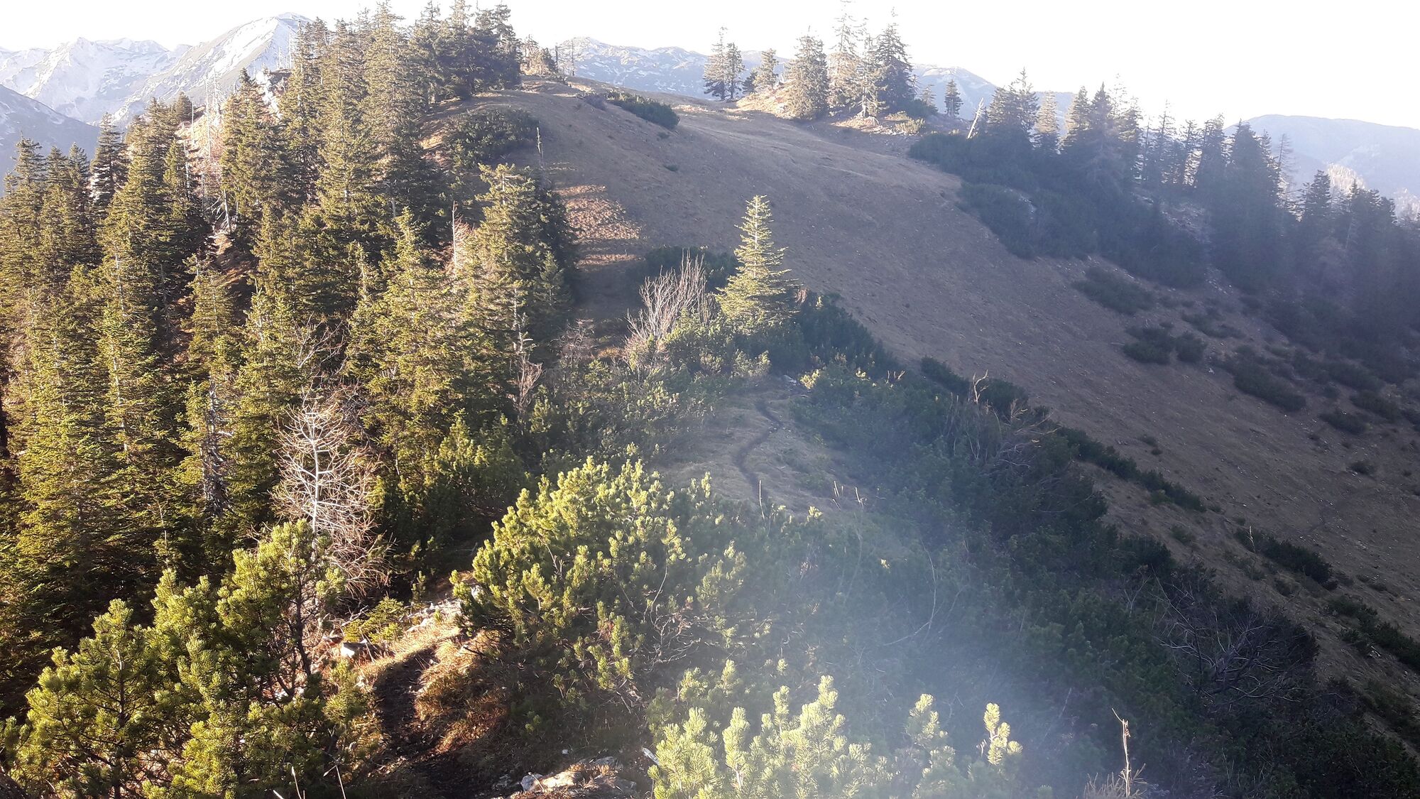
Beim Almgebiet (man sieht von dort keine Gebäude) biegen wir vor einer Kuppe rechts vom Karrenweg ab und nehmen gleich danach an der Gabelung den linken der beiden gerade noch erkennbaren Wege (im Zweifel eher links halten, siehe Foto).
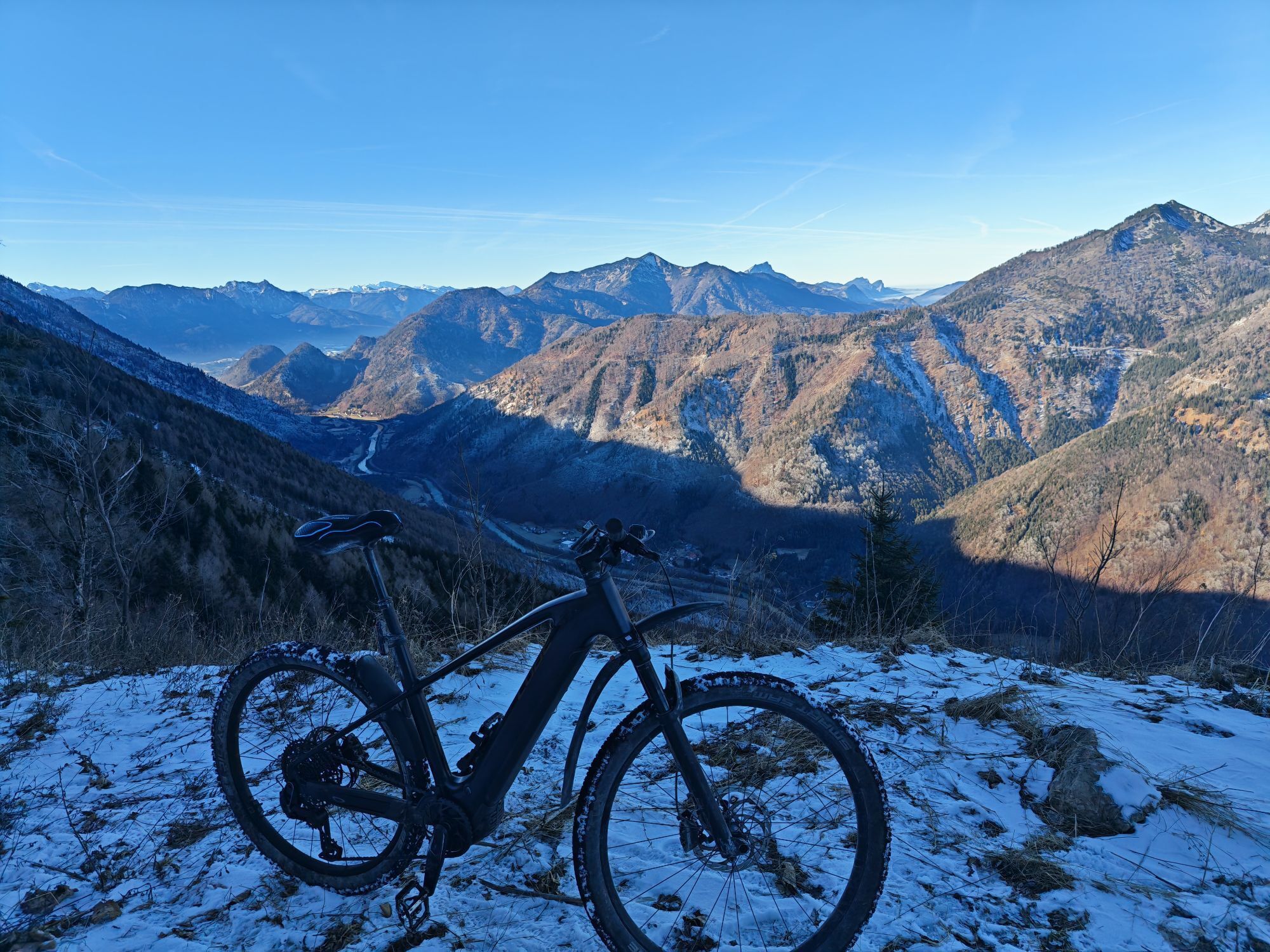
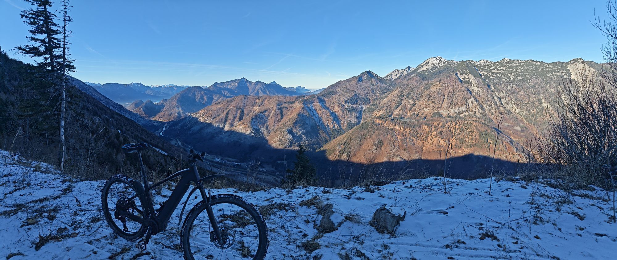
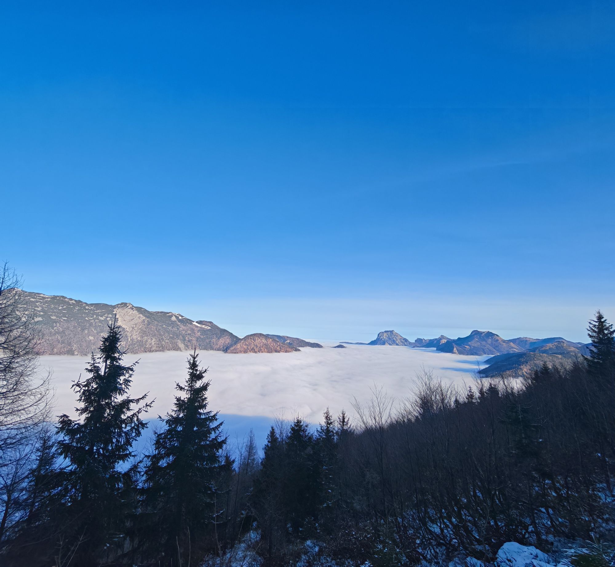
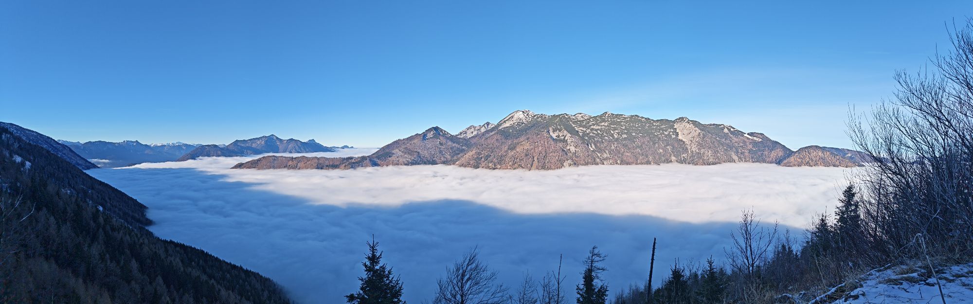
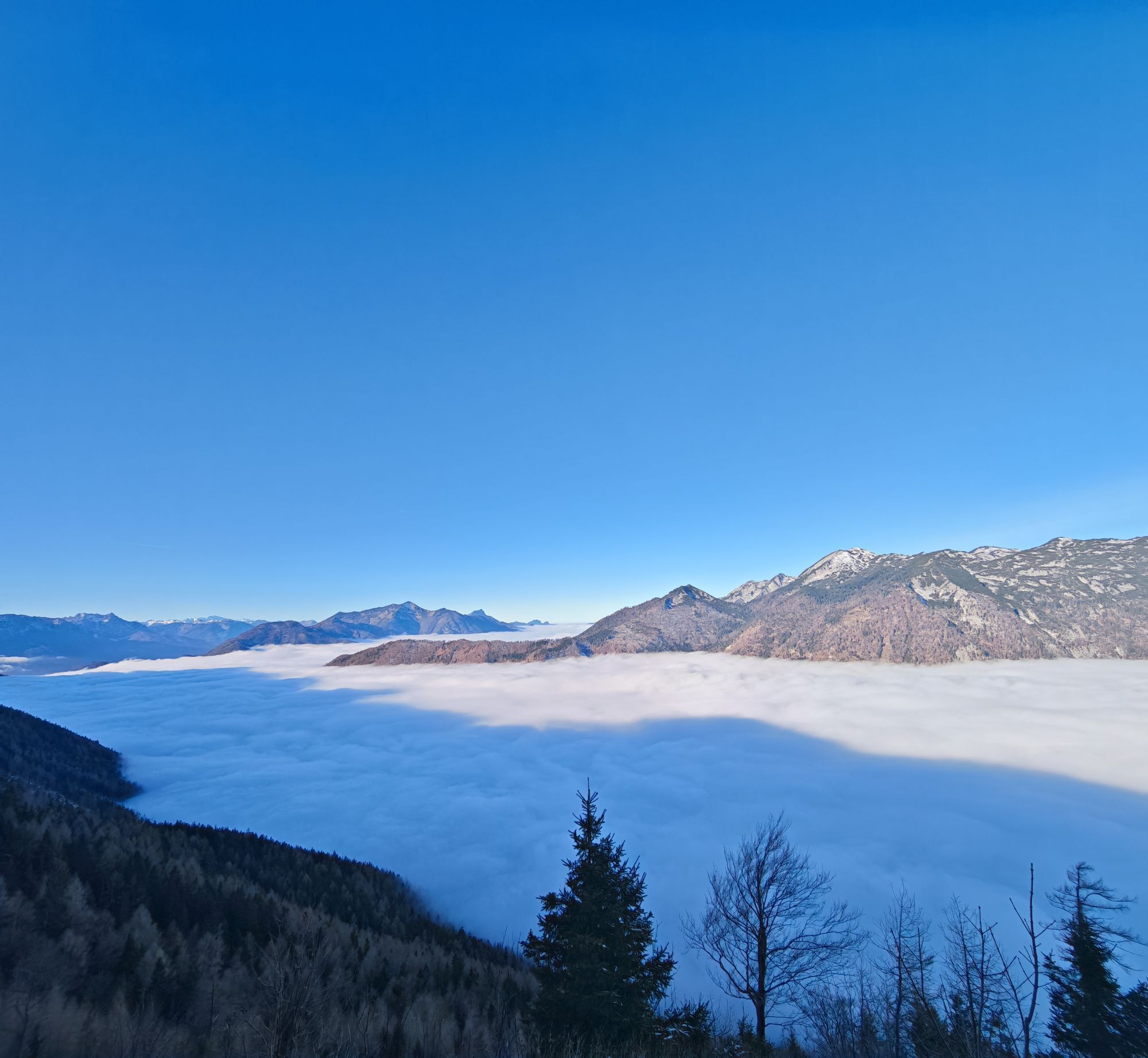
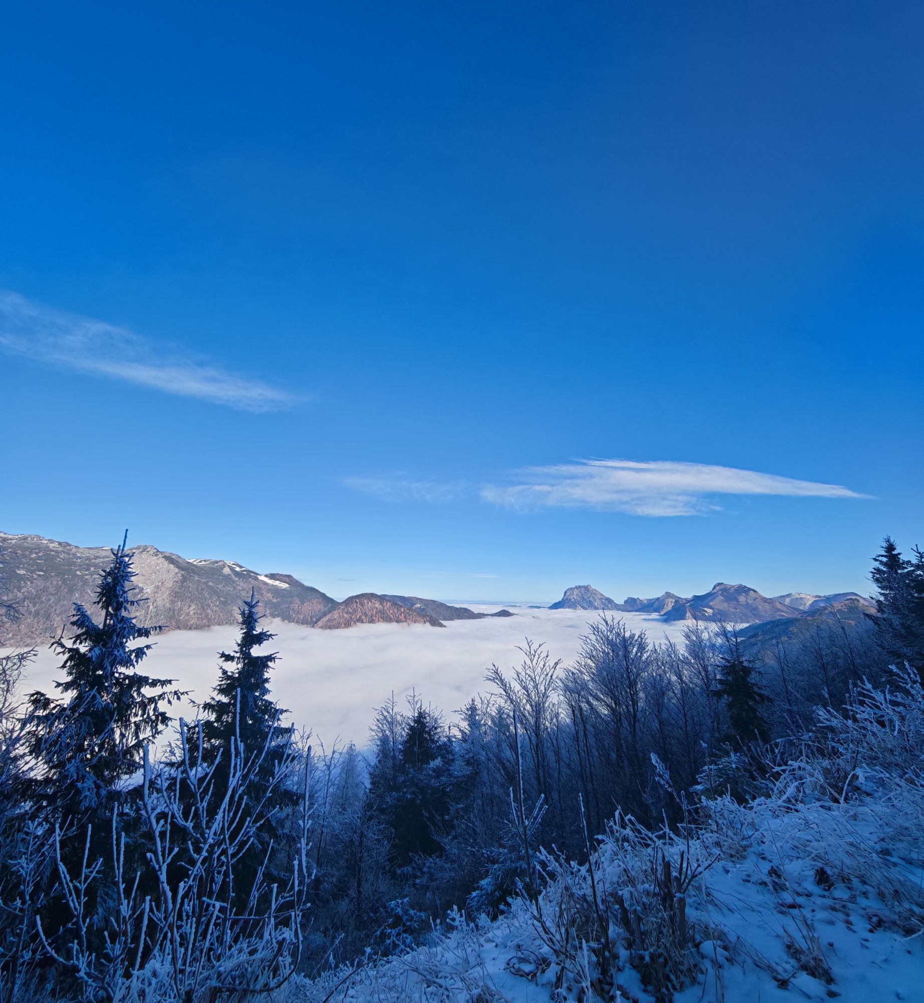
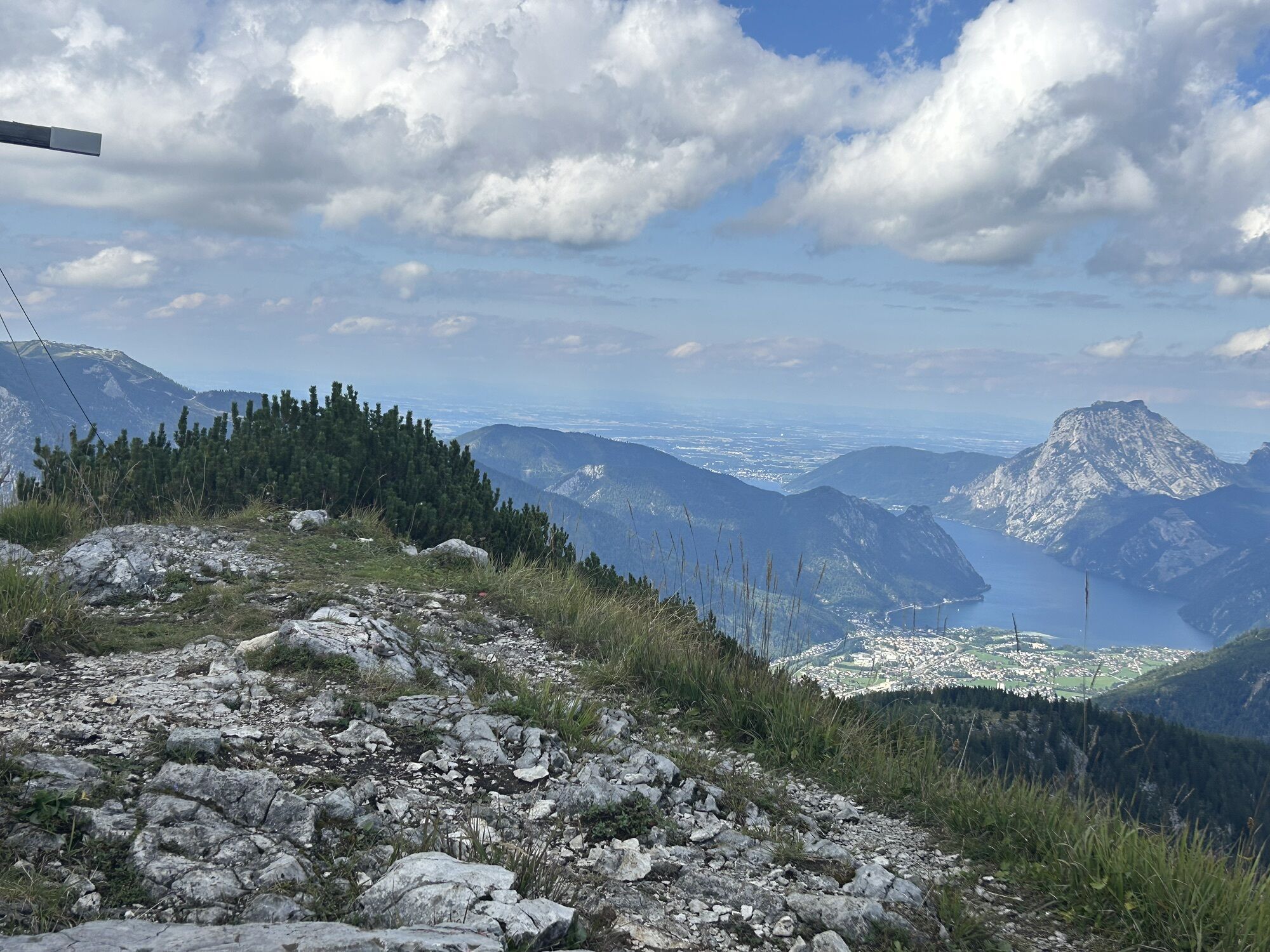
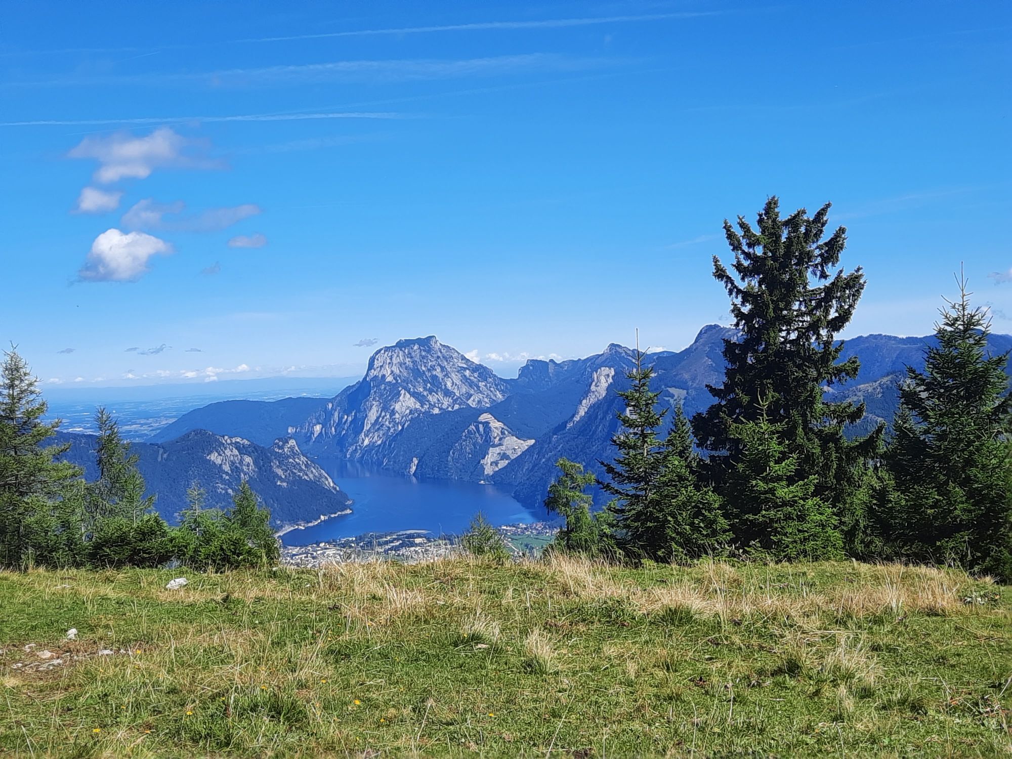
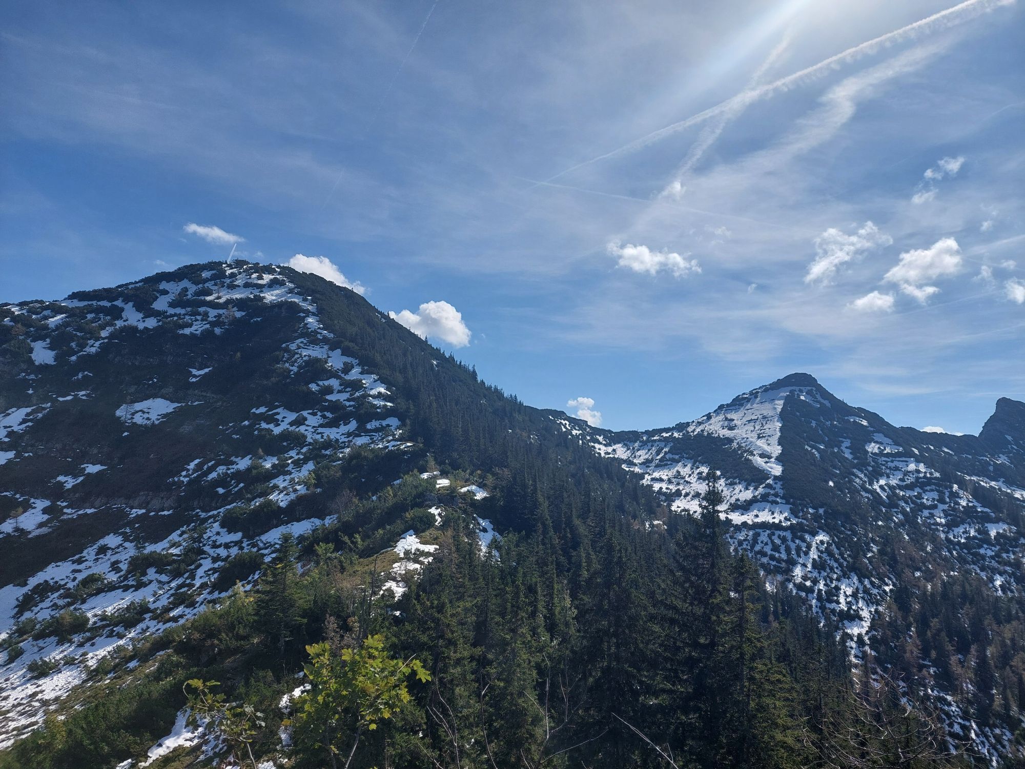
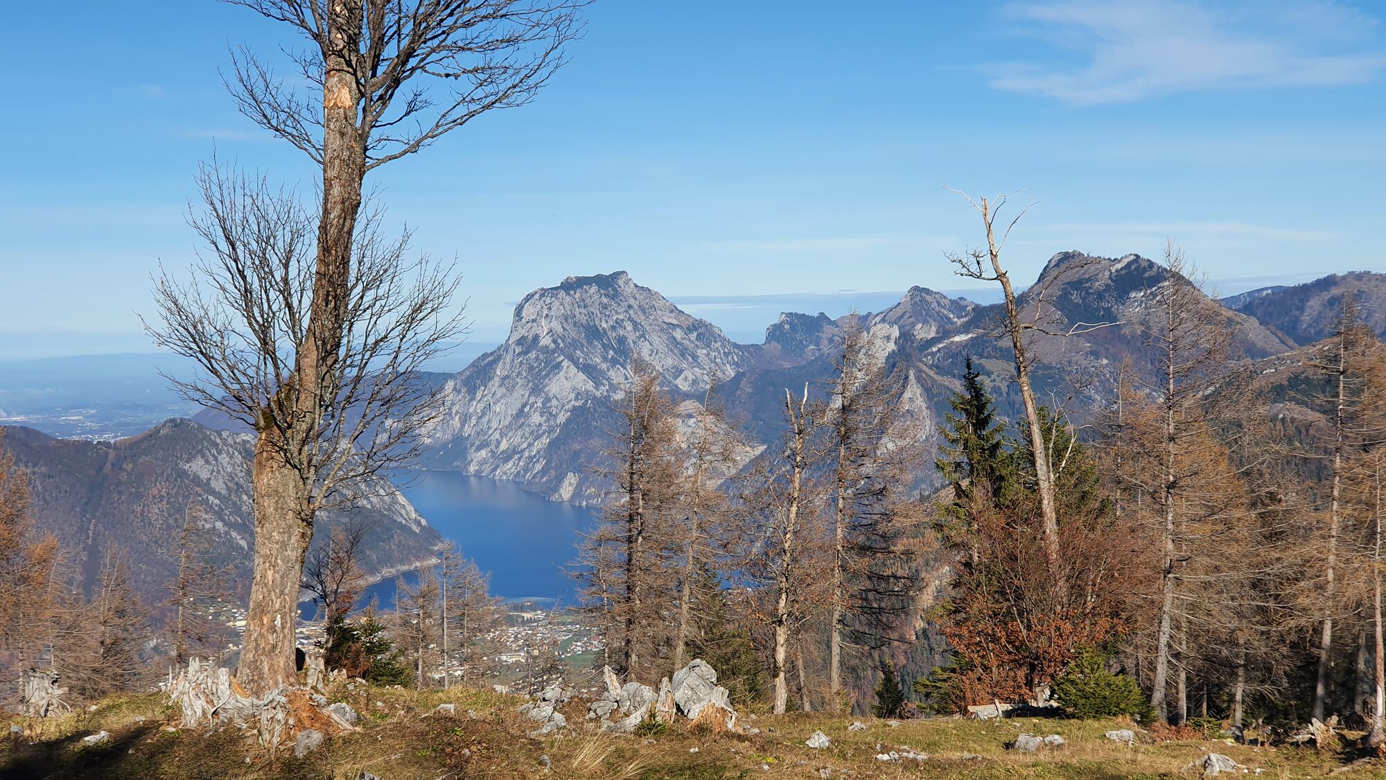
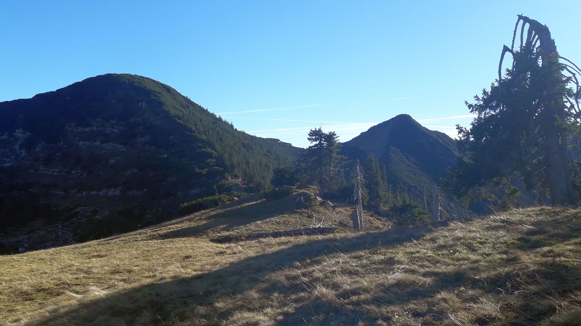
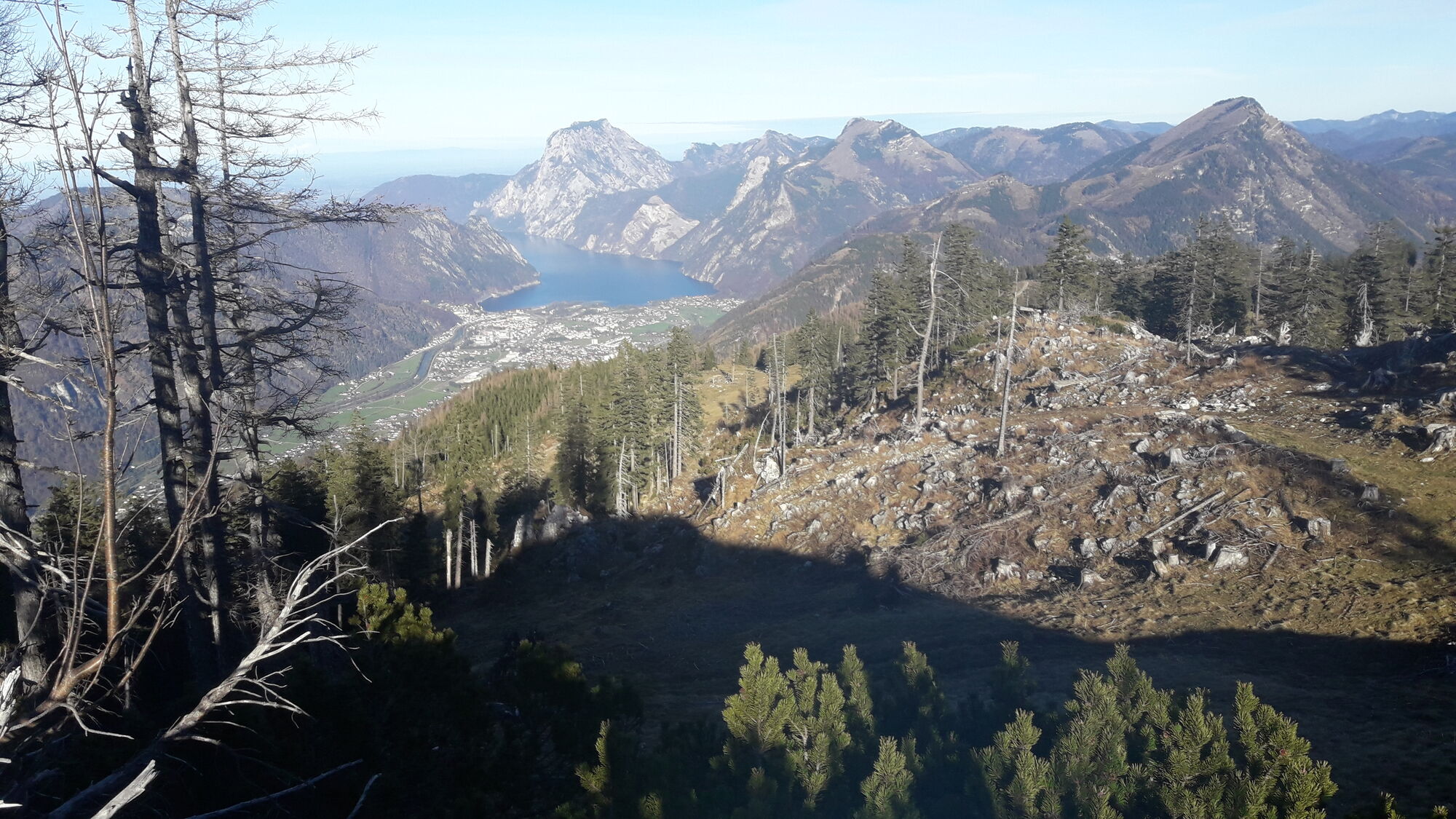
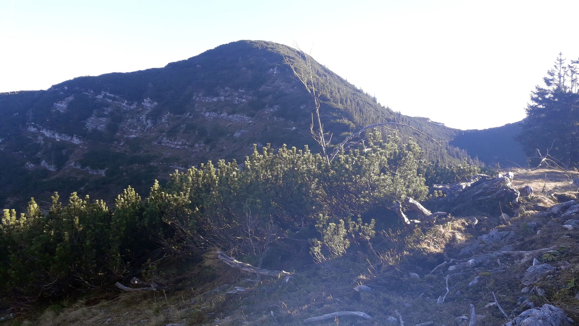
Nun geht es eine Forstaufbringungspiste den Loskogel hoch. Die Piste endet knapp vor dem klar erkennbaren Kogel, den man wild besteigen muss. Der Stacheldraht markiert den Steilabfall auf der anderen Seite. Schöne Aussicht auf den latschenbewachsenen Petergupf.
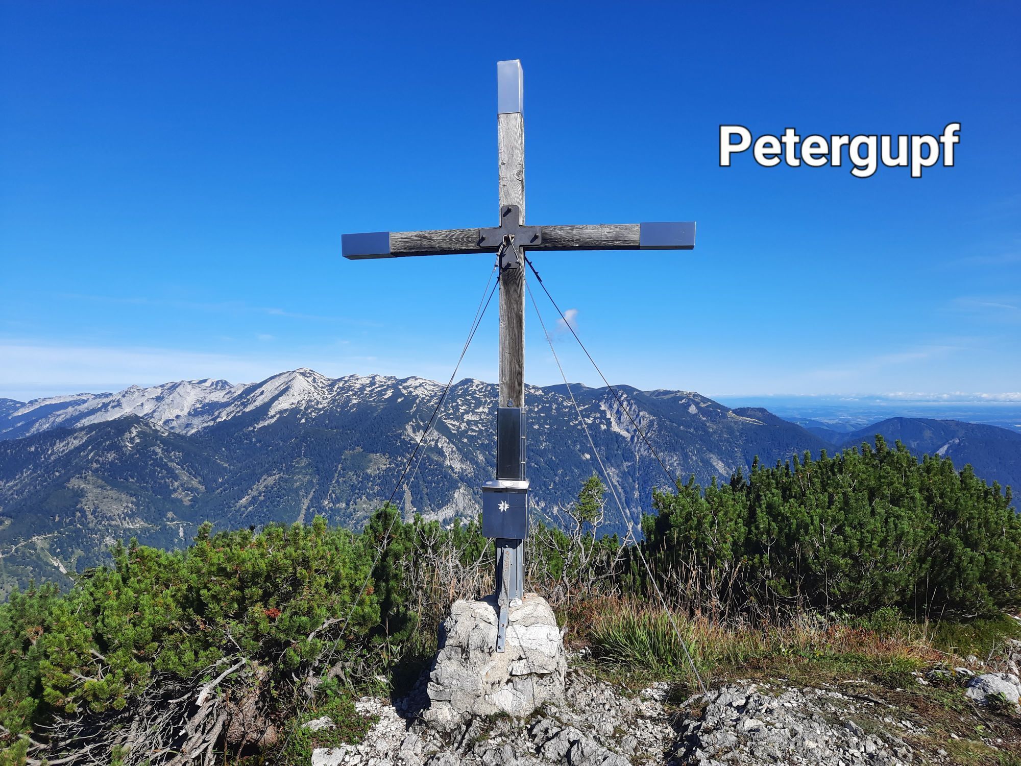
Nun wild den Graskamm hinunter zu einem kleinen Sattel und zum weit erkennbaren Weg auf den Petergupf. Diesen dann sehr steil mit einer kleinen Kletterstelle hinauf. Der Weg liegt oft schon sehr zeitig im Schatten und kann in der Übergangszeit auch leicht vereist sein.
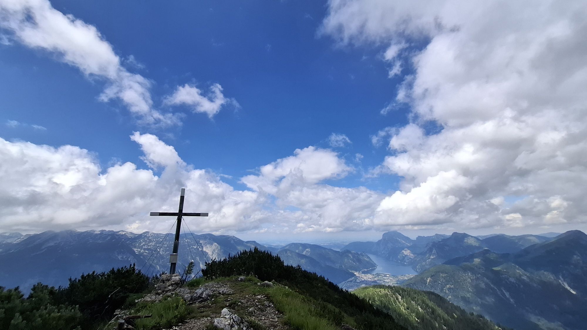
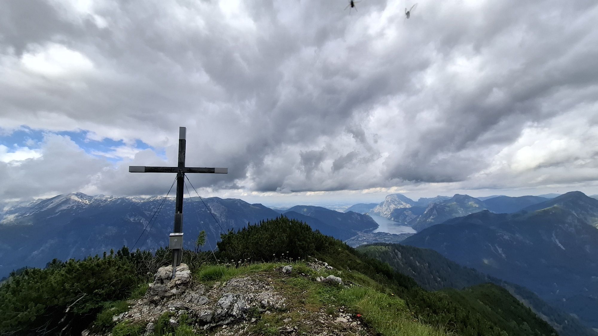
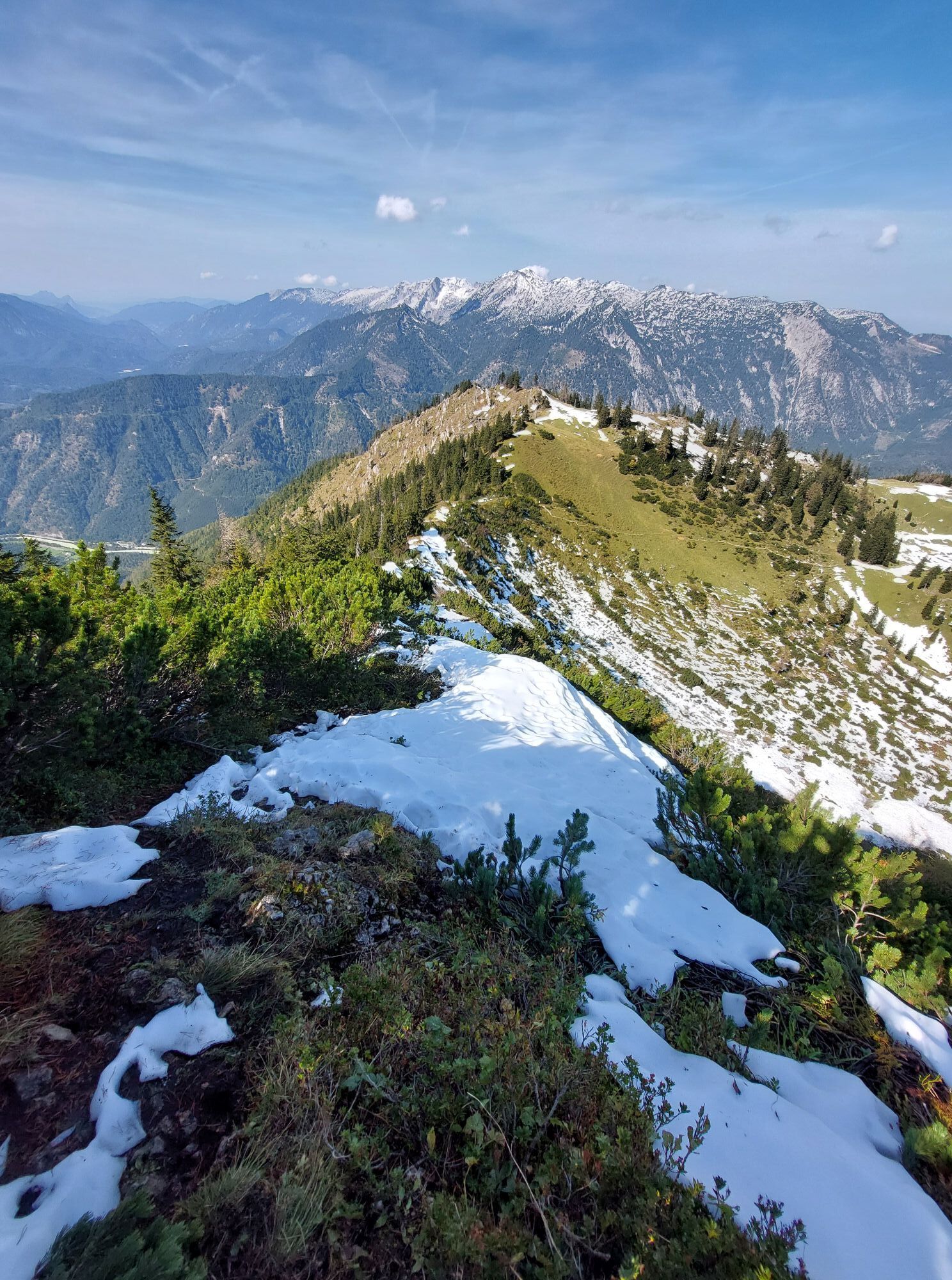
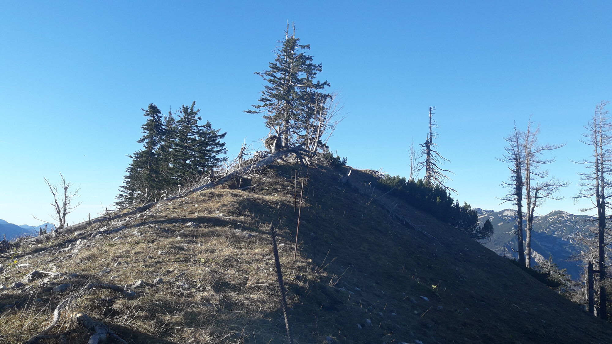
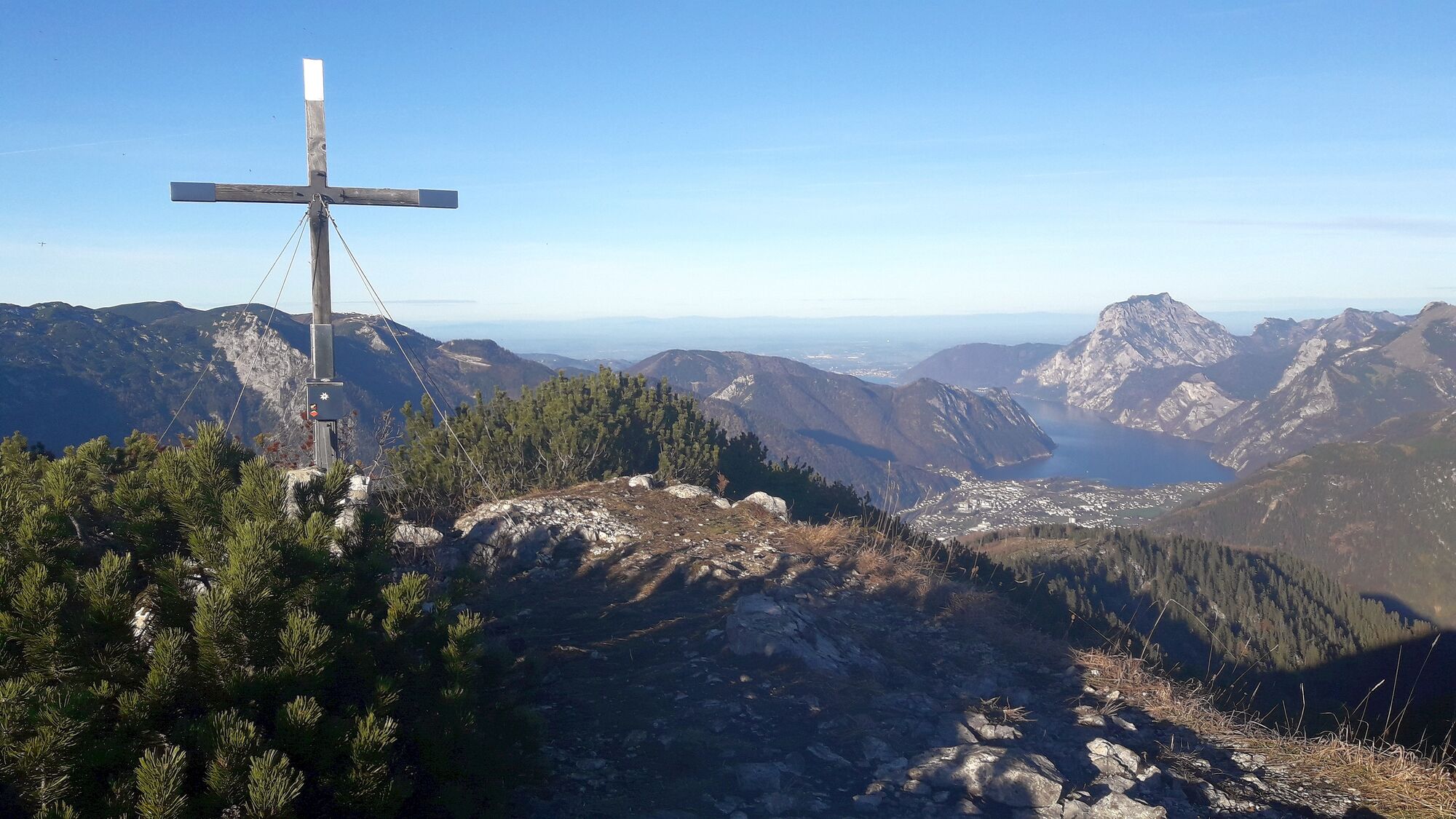
Sehr schöner latschenbewachsener Gipfelbereich mit Gipfelkreuz, Gipfelbuch, Bankerl und vor allem tolle Aussicht!
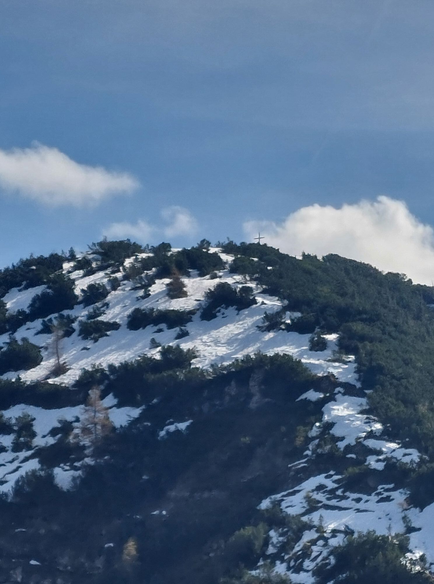
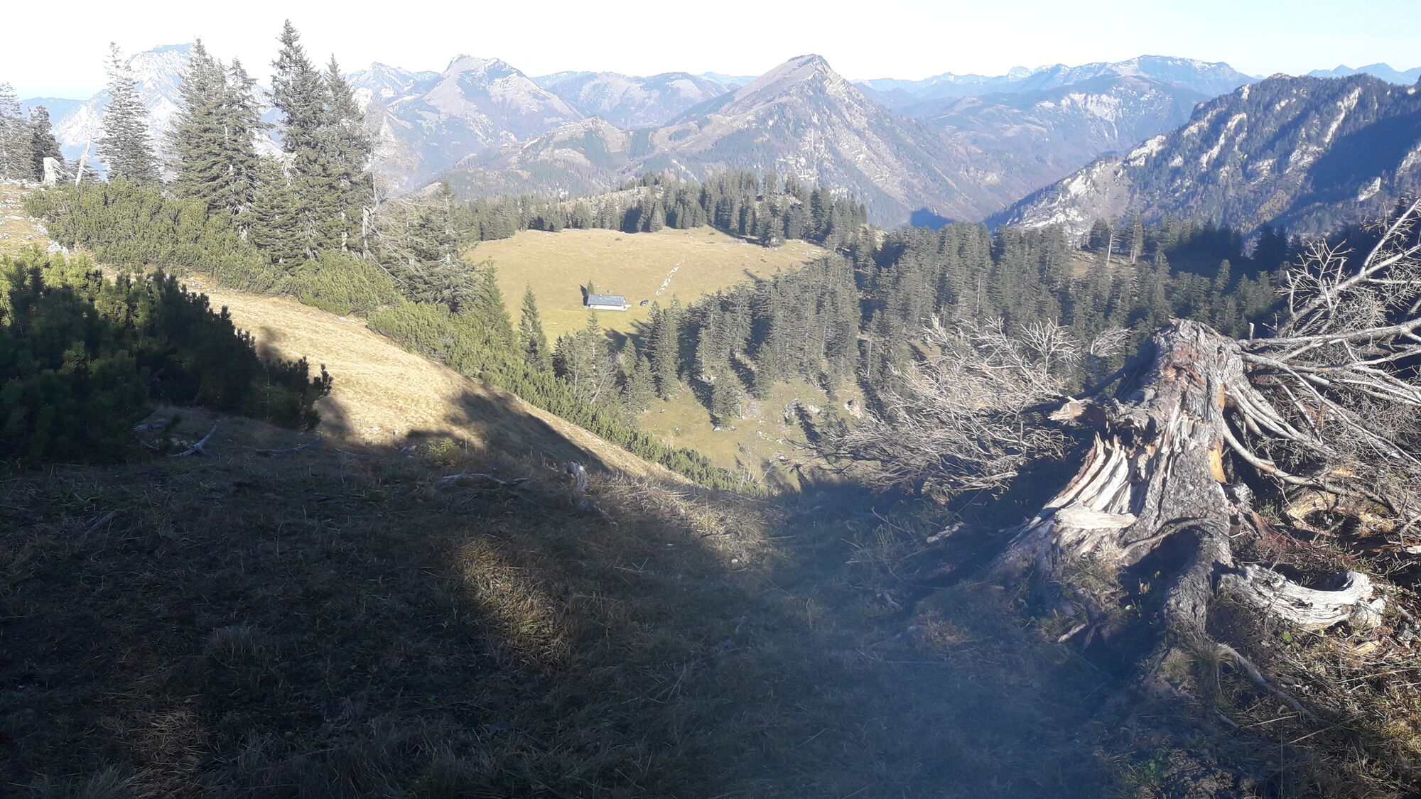
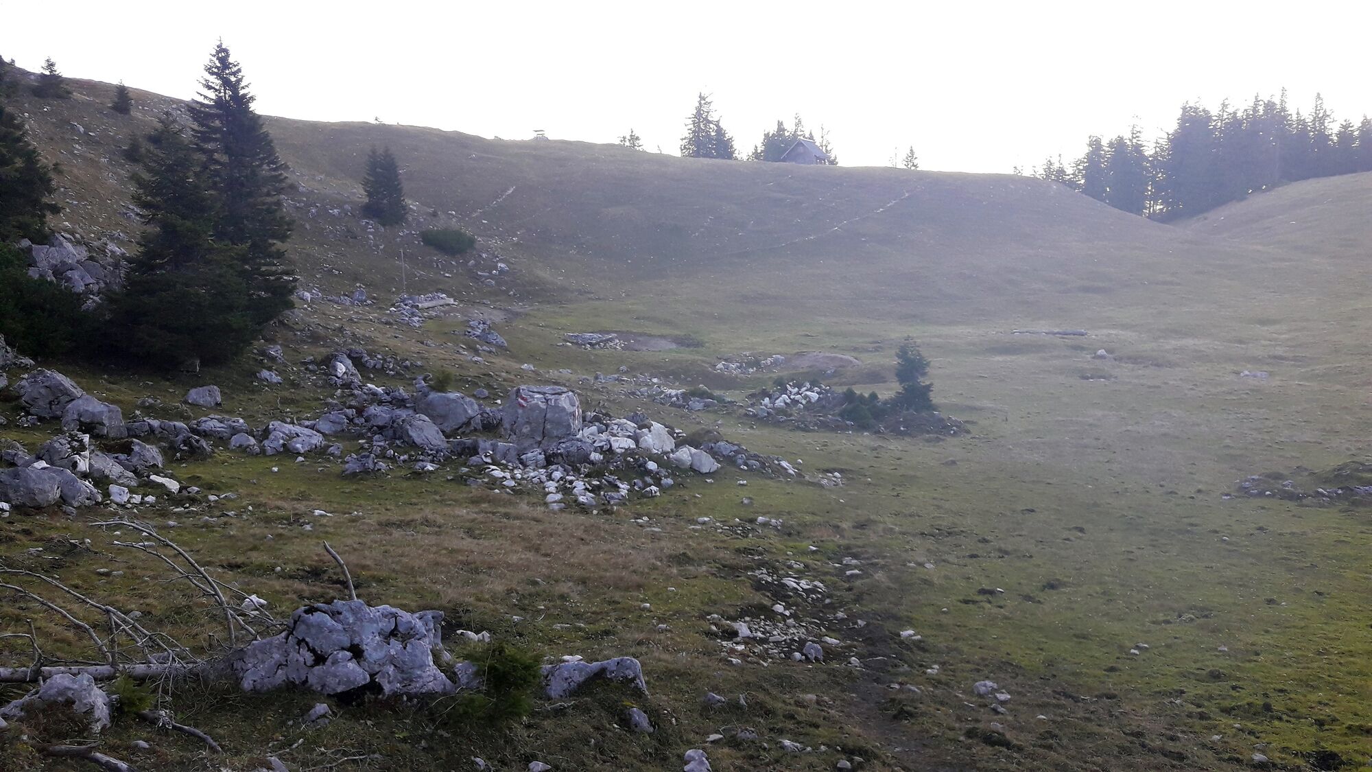
Abstieg vom Petergupf auf gleichen Weg. An der Stelle, wo wir vom Loskogel heruntergekommen sind, wenden wie uns nach rechts und gehen den Pfad zu den Almgebäuden und einer kleinen Lacke, die manchmal auch trockenfällt.
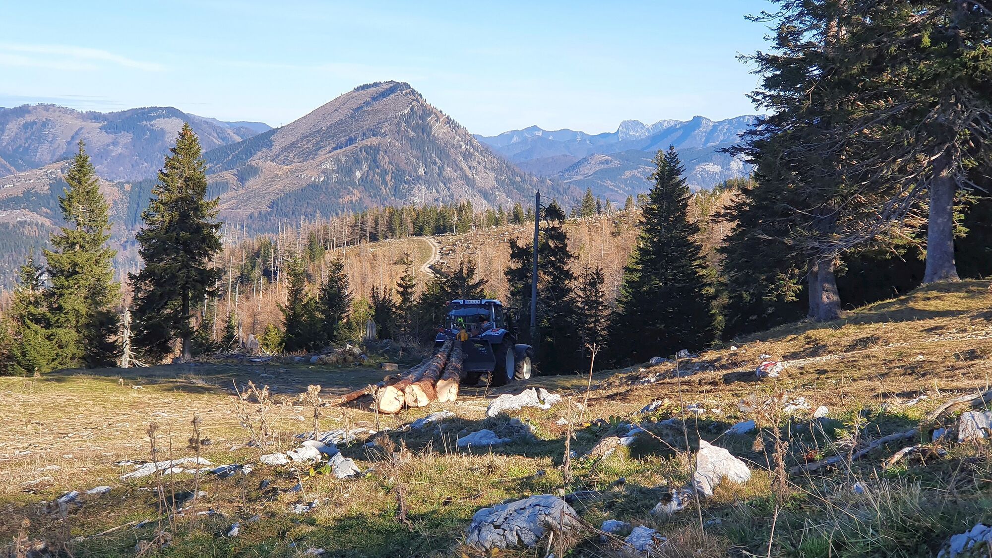
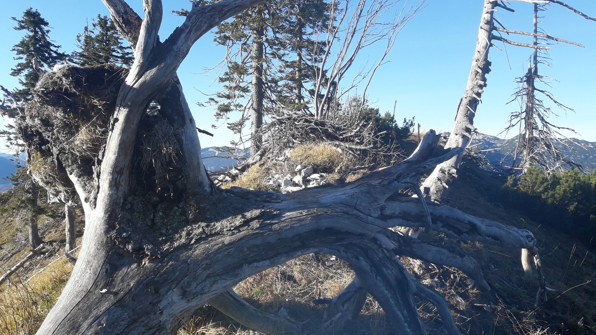
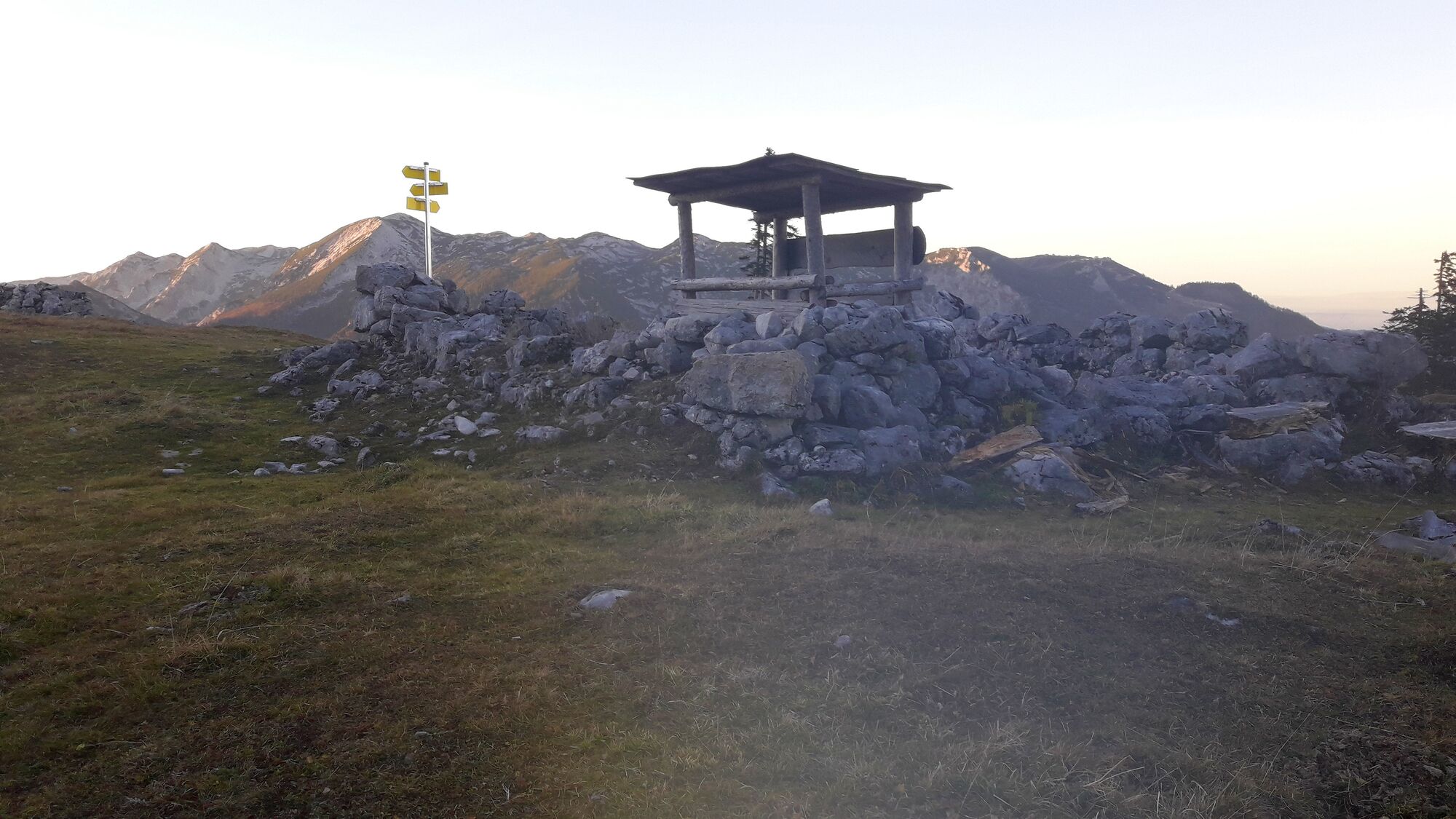
Von hier hinauf zu dem weit sichtbaren Unterstand (Foto). Bald sieht man den Karrenweg und die Wanderrunde schließt sich. Runter zum Raddepot.
Fortsetzung Radtour:
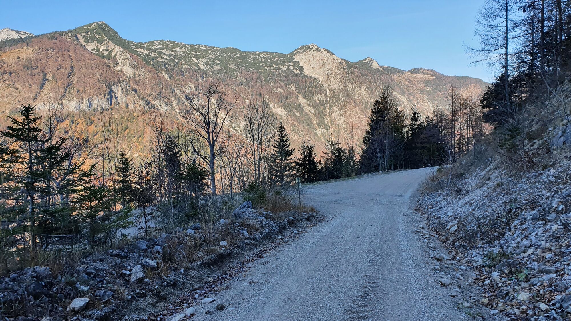
Wieder runter zur Linksabzweigung auf 750m, die man im Downhill nicht übersehen darf. Unproblematisch ins Tal.
Gleich nach dem Schranken geht es scharf rechts in eine weitere Schotterstraße, die mitunter noch etwas hinauf geht und eine schöne Fahrt Richtung Ebensee ermöglicht.
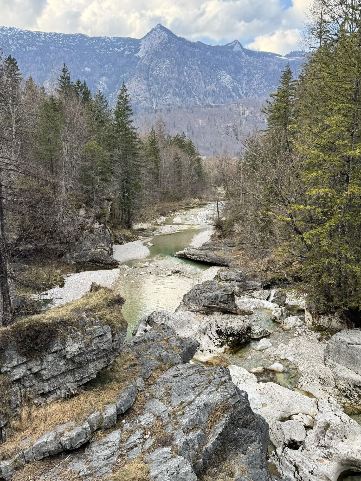
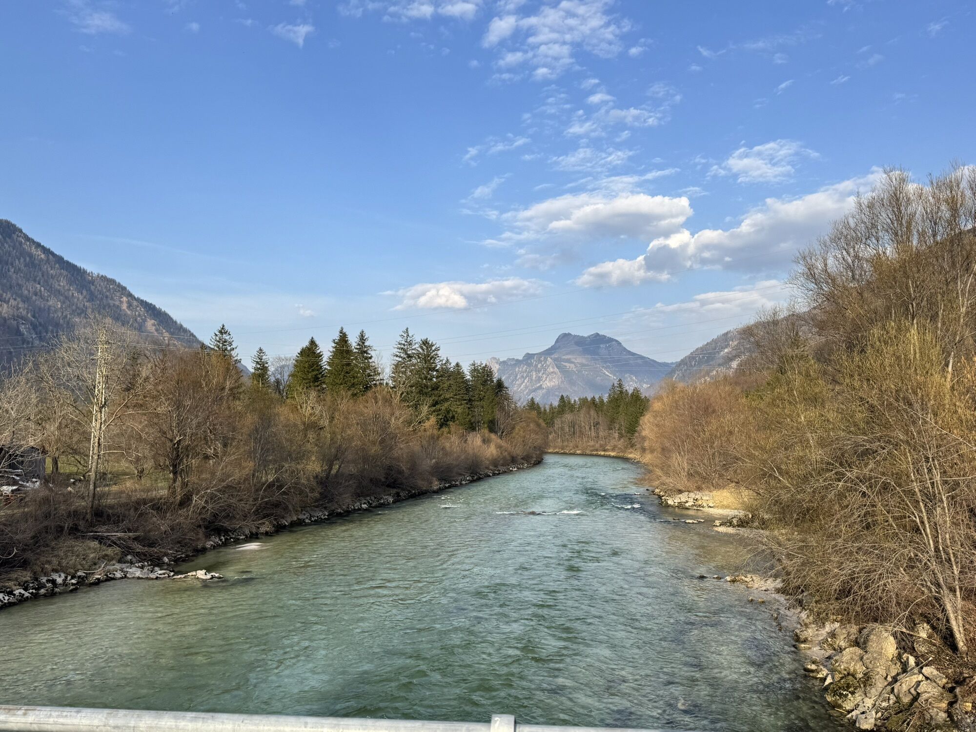
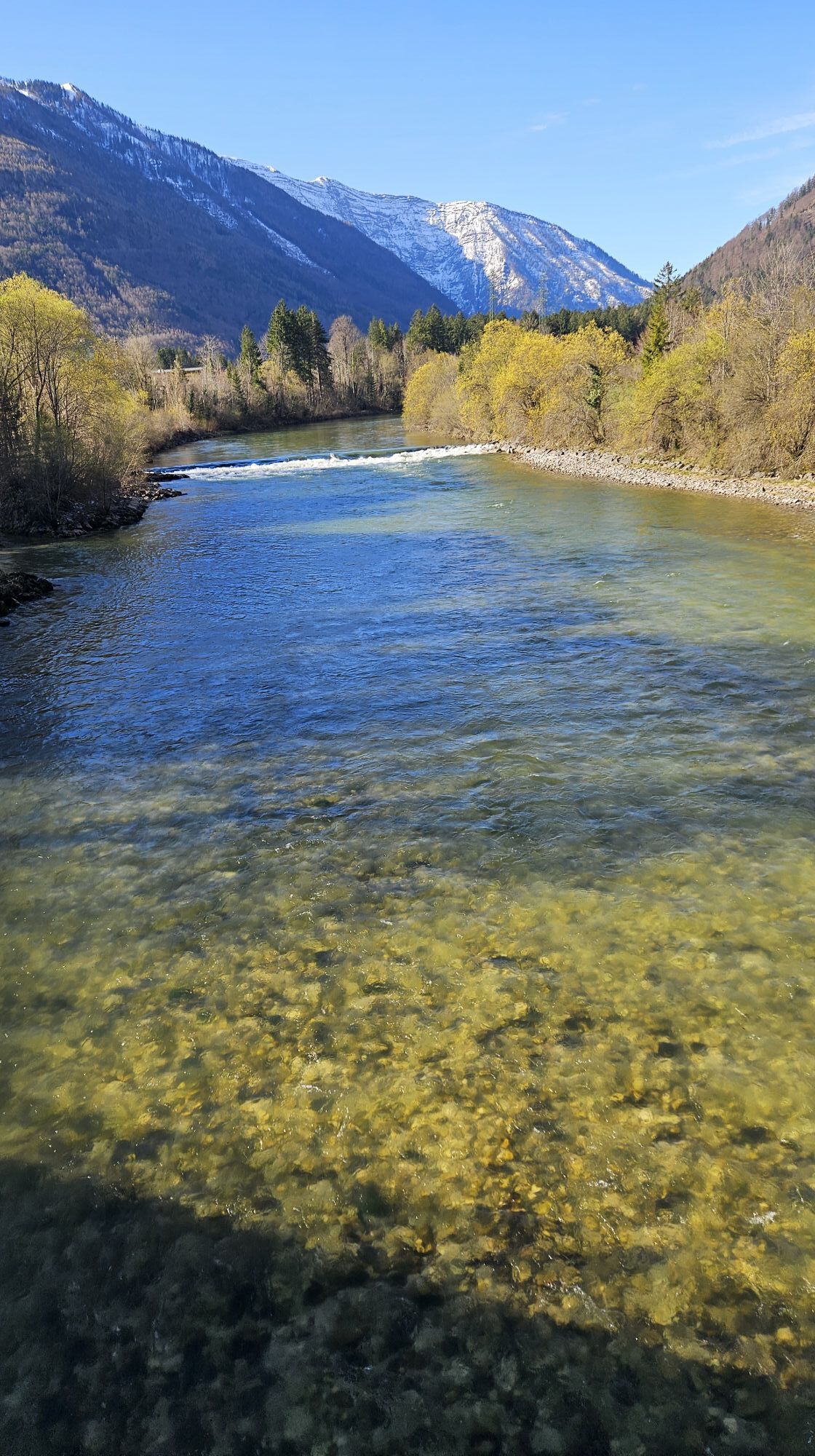
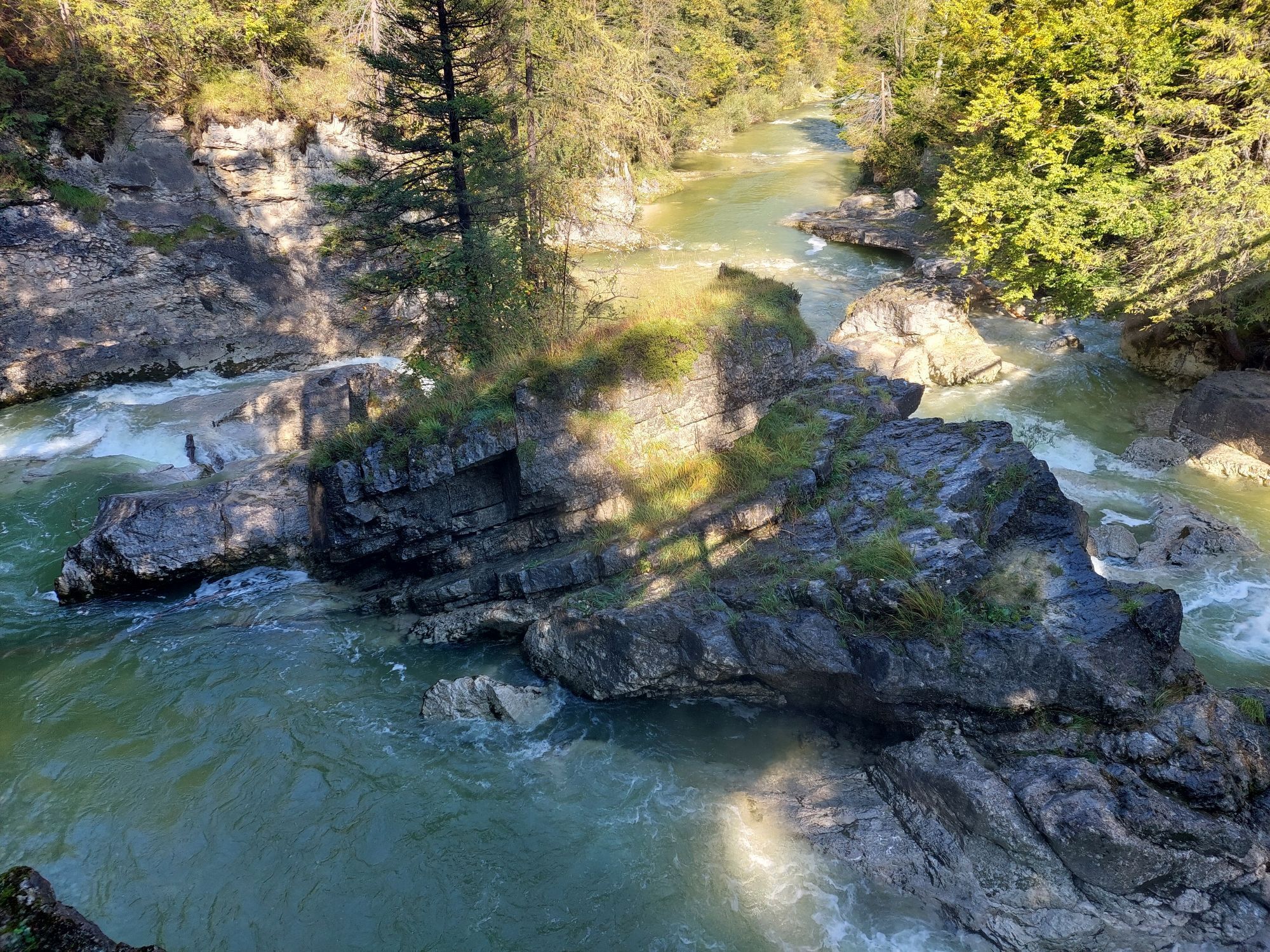
Bei Lahnstein über die Traunbrücke und ganz kurz am Radweg an der B145, aber bald auf die Straße wechseln und bei der Abbiegespur links auf die Nebenstraße entlang der Traun einbiegen. Die vielen blauen Kurzparkzonen markieren Ausblicke auf Stromschnellen der Traun. Immer gerade weitet bis Ebensee.
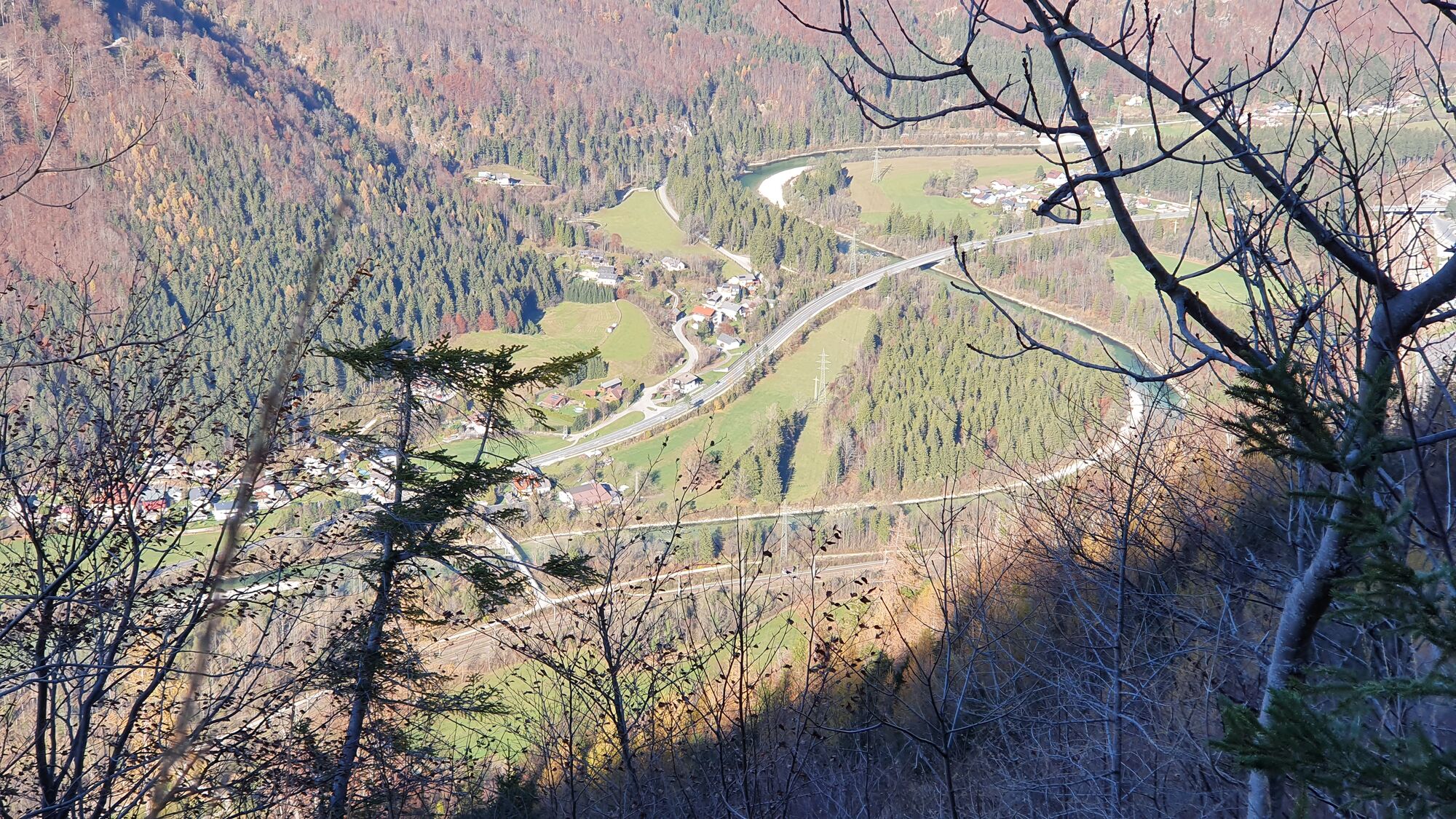


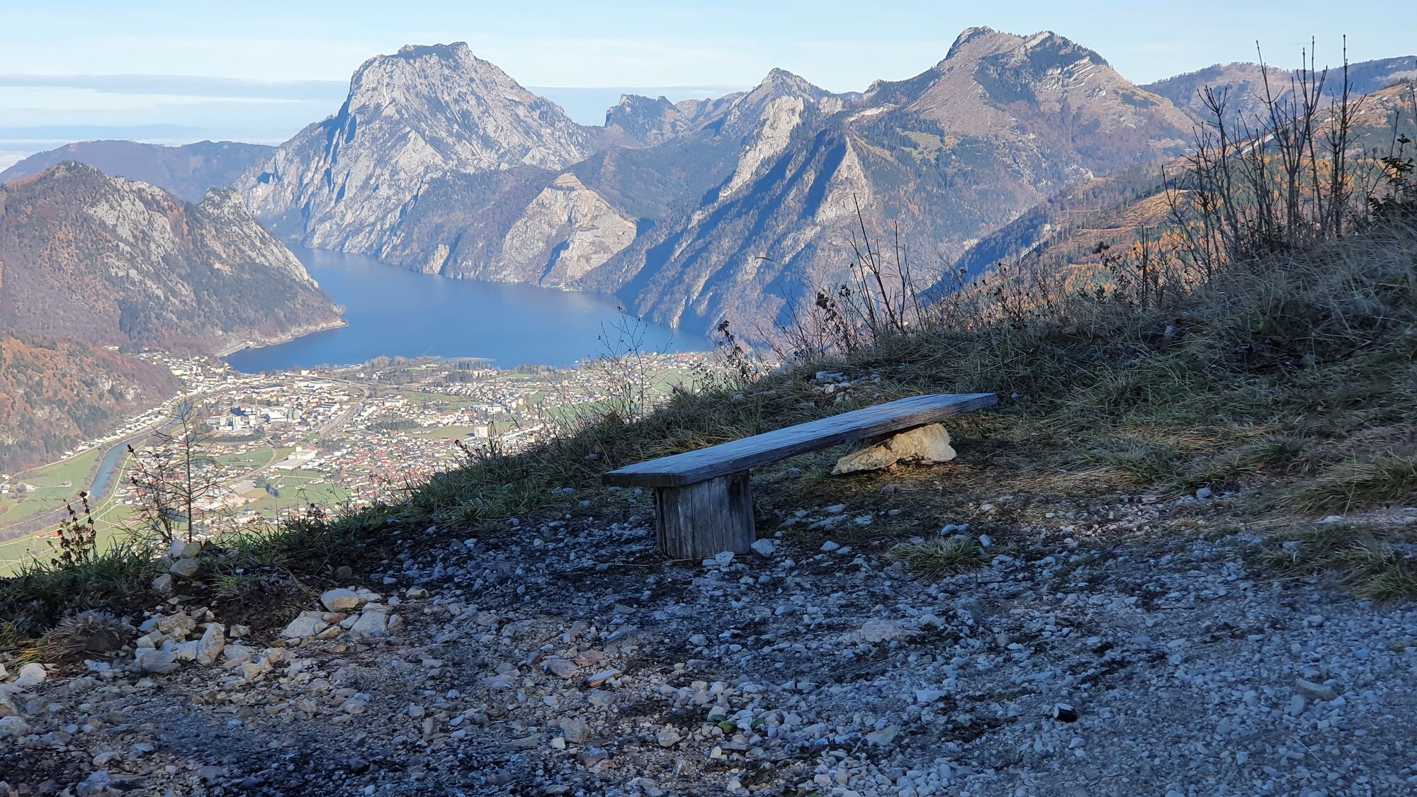
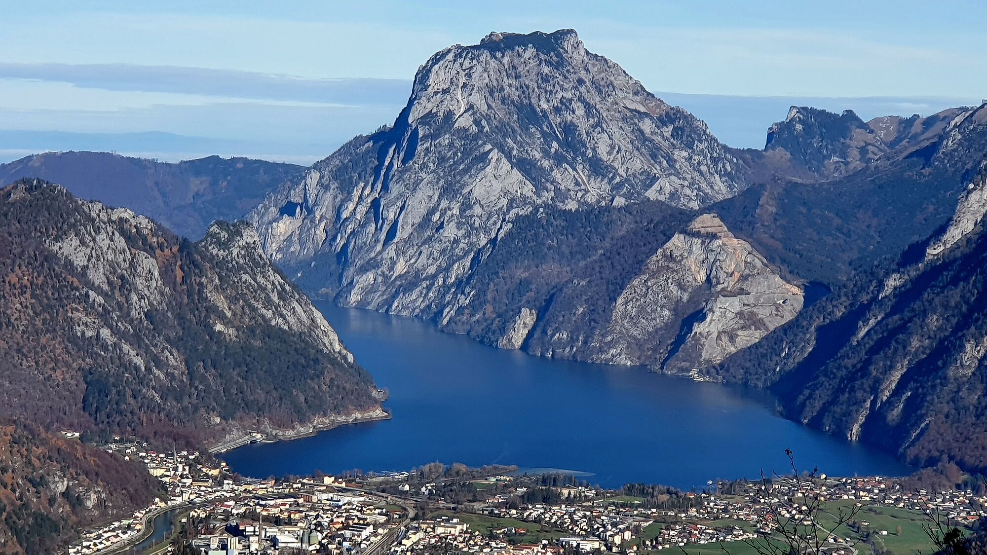


Wer nur die Radtour fahren will, hat knapp vor dem Fahrverbot ein nettes Aussichtsbankerl mit Ausblick auf den Traunstein.
Oui
Oui
Oui
Oui
Wanderschuhe zwingend! Teleskopstöcke hilfreich.
Der Steig auf den Petergupf mit mind. einer Stelle mit leichter Kletterei liegt meist schon ab Mittag im Schatten und ist daher im Herbst oft vereist!
Am Startpunkt gibt es auch Parkplätze, die nicht als Kurzparkzone markiert sind.

Oui
Activités le long du parcours

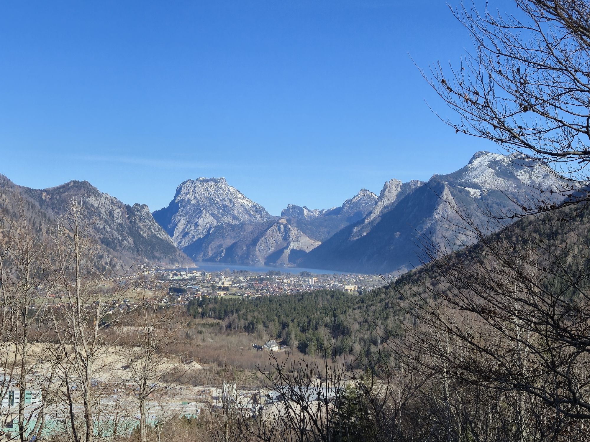
Ebensee am Traunsee, Oberösterreich/Österreich
17.05.2026 – E-MTB
Brombergtour
30.12.2022 – VTTBrombergtour
28.12.2022 – VTTBrombergtour
03.12.2022 – VTTBrombergtour
27.11.2022 – VTTBrombergtour
20.11.2022 – VTTBrombergtour
12.11.2022 – VTTBrombergtour
29.10.2022 – VTTBrombergtour
15.10.2022 – VTTBrombergtour
04.10.2022 – VTTBrombergtour
10.09.2022 – VTTBrombergtour
06.09.2022 – VTTBrombergtour
08.08.2022 – VTTBrombergtour
31.07.2022 – VTTGmunden, Österreich
12.07.2022 – VTTBrombergtour
11.07.2022 – VTTBrombergtour
05.07.2022 – VTTBrombergtour
15.06.2022 – VTTBrombergtour
08.06.2022 – VTTBrombergtour
12.05.2022 – VTT
Parcours populaires à proximité
- 4,3
Altaussee: Seeumrundung
Randonnée en montagne 7,58 km - 4,4
Weißenbach am Attersee - Schoberstein
moyenRandonnée 3,31 km - 4,3
Feuerkogel / Ebensee
moyenRandonnée 11,8 km - 4,6
Ebensee: Großer Höllkogel
moyenRandonnée 10,1 km - 4,2
Erlakogel / Ebensee
moyenRandonnée 4,12 km - 4,4
Loser: Loserfenster und Losergipfel
moyenRandonnée 2,48 km - 4,5
Randonnée vers la Hütteneckalm
facileRandonnée 8,70 km - 4,2
Naturfreundesteig auf den Traunstein
difficileRandonnée d'altitude 5,07 km - 3,6
Ebensee - Kl. und Gr. Sonnstein
moyenRandonnée 3,24 km - 4,9
Traunstein 1.691m & Traunkirchner Kogel 1.575m am Traunsee
moyenVia ferrata 9 km
Randonnée et suivi


Ne manquez pas les offres et l'inspiration pour vos prochaines vacances
Votre adresse électronique a été ajouté à la liste de diffusion.