


9 Ratingen to Ratingen-Homberg
Ratingen to Ratingen-Homberg
The starting point for this section is the Grüner See Recreational Area, with its fitness trail and watersports facilities.
The Schwarzbach joins us soon after the start, and...
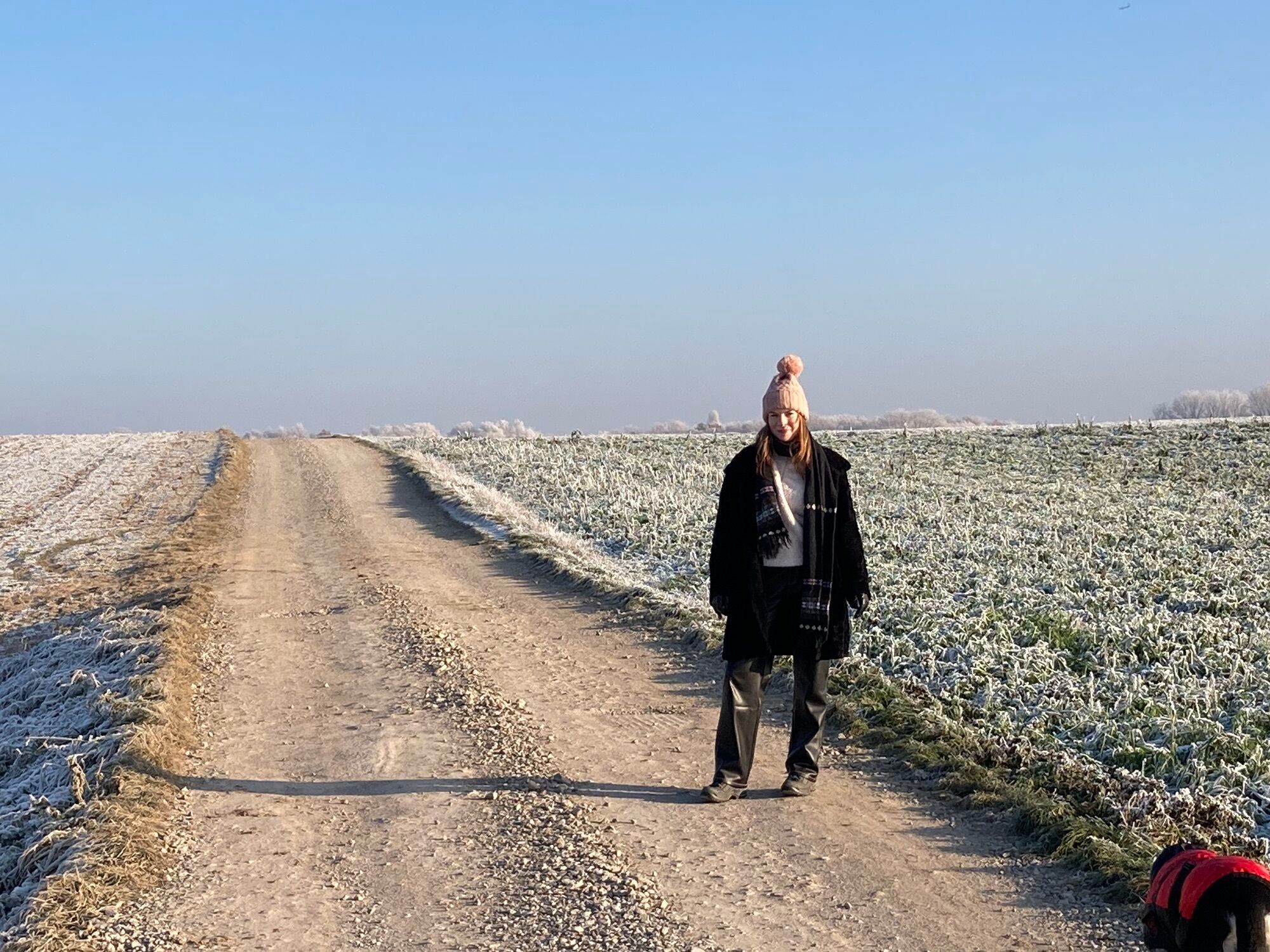
Ratingen to Ratingen-Homberg
The starting point for this section is the Grüner See Recreational Area, with its fitness trail and watersports facilities.
The Schwarzbach joins us soon after the start, and stays with us until the end of the stage.
We walk along the southern outskirts of Ratingen and can enjoy views of the Ruhr area (Ruhrgebiet) from the hills.
We pass riding stables, farm cafés, and even a beautiful mill. But we keep returning to the Schwarzbach Valley (Schwarzbachtal); we cross under the A3 with this small stream by our side and finish in Homberg.
There are lots of traditional places to eat at the end of the stage at Grevenmühle Golf Club.
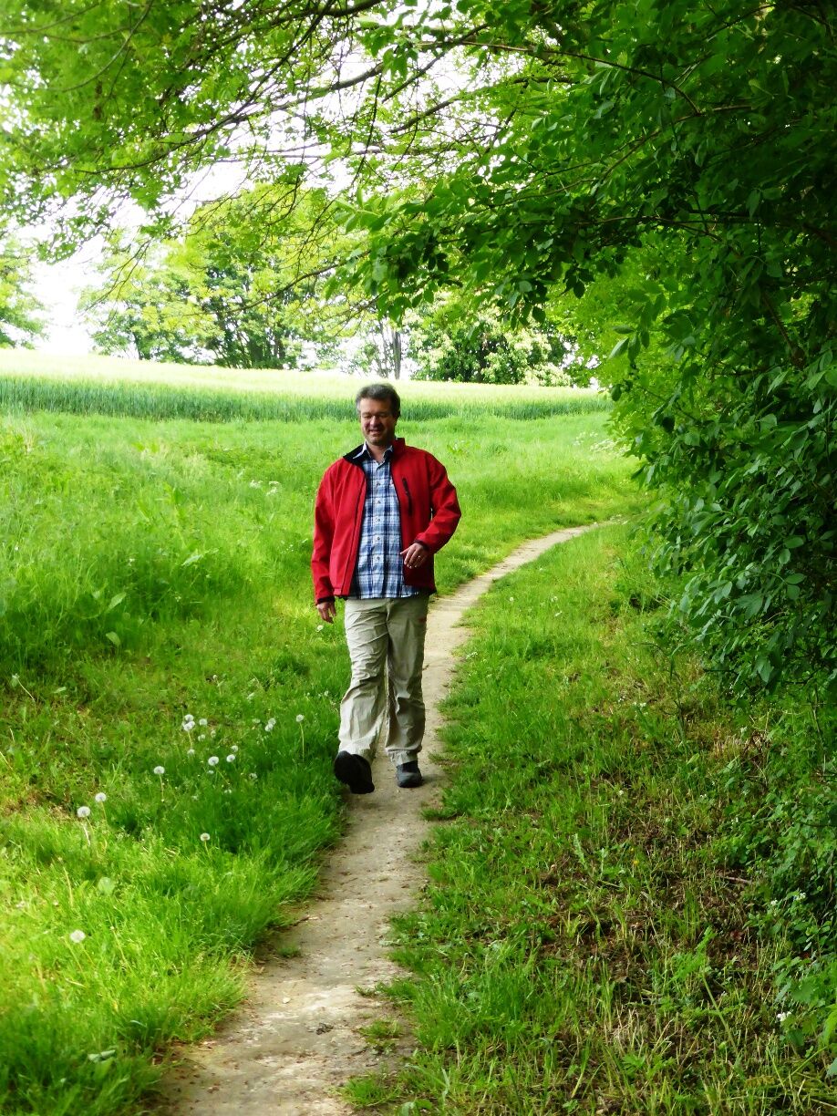
The path runs beside cool streams, through deep forests, and over windy hills; depending on the time of year and the weather, you may need to take a coat.
The narrow paths can be slippery in places, particularly in wet weather.
Be careful at the edges of steep faces, keep your distance
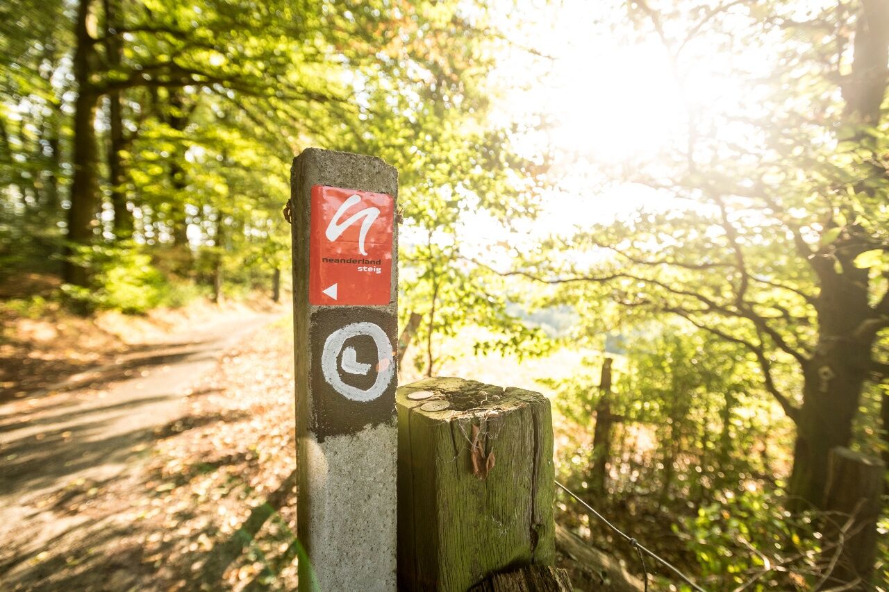
Use the app’s journey planner
Nösenberg bus stop: 752 and 754
Finish:
Grever Mühle bus stop: 748
Parking at Volkardeyer Recreational Park (Volkardeyer Erholungspark)
Parcours populaires à proximité
- 5,0
Neandertaler Runde
facileRandonnée 12,6 km Panorama Radweg Niederbergbahn
facileFaire du vélo 35,6 kmBergischer Weg - Etappe 3: Wülfrath - Solingen-Gräfrath
moyenChemin de Grande Randonnée 25,0 kmWälder, Bäche und Seen - Entdeckertour im Duisburger Süden
moyenRandonnée 14,3 km- 3,0
Rotthäuser Höhe und Tal
facileRandonnée 9,41 km The neanderland STEIG
moyenRandonnée 240,6 km- 4,0
Vom Rhein zur Ruhr von Kaiserswerth nach Mülheim #LL2ROM N010
facileRandonnée 25,6 km Familienfreundliche Wanderung durch den Duisburger Süden zum Magic Mountain
facileRandonnée 10,0 kmBergischer Weg - Etappe 2: Velbert - Wülfrath
difficileChemin de Grande Randonnée 22,7 km- 4,7
Stindertal (A2 Trail)
facileRandonnée 7,59 km

Randonnée et suivi


Ne manquez pas les offres et l'inspiration pour vos prochaines vacances
Votre adresse électronique a été ajouté à la liste de diffusion.