





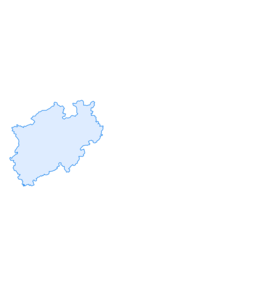

15 Langenfeld-Reusrath to Solingen
Langenfeld-Reusrath to Solingen
From Reusrath, the path initially runs more or less parallel to Europe’s no. 1 artery, the BAB A3, which we finally cross at the Further Moor Nature Reserve (Naturschutzgebiet...
Langenfeld-Reusrath to Solingen
From Reusrath, the path initially runs more or less parallel to Europe’s no. 1 artery, the BAB A3, which we finally cross at the Further Moor Nature Reserve (Naturschutzgebiet Further Moor).
Behind the Friends-of-Nature house (Naturfreundehaus) Leichlingen we walk across the wonderful Langenfeld sand hills for a while, then through the Leichlingen sand hills - fun in the dunes in the middle of the Rhineland (Rheinland)!
Behind the “Haus Gravenberg” hotel we pass by the Solingen naturist association (Nudistenverein von Solingen), with the motto “those who arrive, stay” (“Wer kommt der bleibt”). Behind the “Schwanenmühle”, a former country restaurant, we pass the picture-postcard village of Krüdersheide, before we head into the “real” heath: the Ohligser Heide Nature Reserve (Naturschutzgebiet Ohlsiger Heide).
At the Engelsberger Hof leisure centre, we can take advantage of the park facilities, relax in the Silesian tavern (Schlesische Schänke) and have fun in the gigantic playground – let out the child within!
The stage finishes at the St. Lukas Hospital (St. Lukas-Krankenhaus) in Solingen.
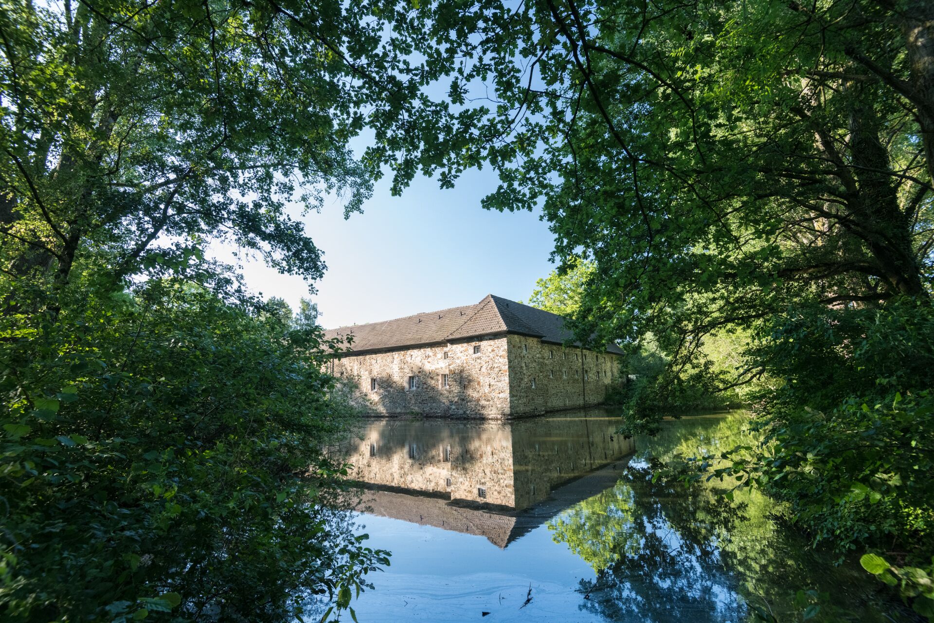
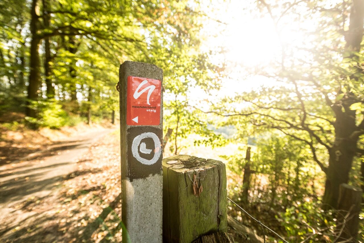
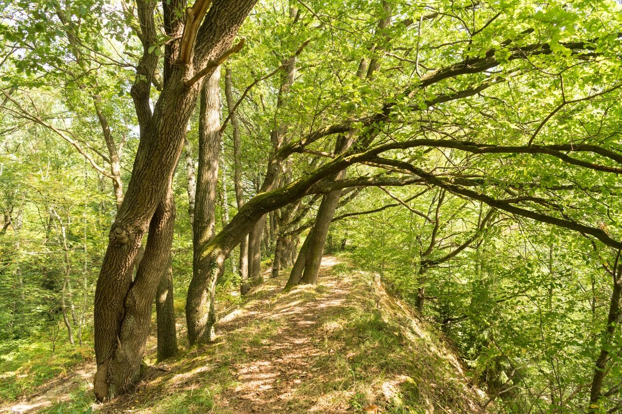

The path runs beside cool streams, through deep forests, and over windy hills; depending on the time of year and the weather, you may need to take a coat
The narrow paths can be slippery in places, particularly in wet weather.
Be careful at the edges of steep faces, keep your distance.
Use the app’s journey planner
Opladen Station - via 2.2 km marked path
Rothenberger Straße bus stop: 231 and 232
Finish:
St.-Lukas-Klinik bus stop: 691
Parking on Schwanenstraße
Parcours populaires à proximité
-
4,7
1000 Höhenmeter
moyenRandonnée 19,8 km -
5,0
Müngstener Brücke bis Burg
facileRandonnée 12,0 km -
4,5
♧ 3 Flüsse Runde durch das Eifgenbach, Dhünn und Linnefetal
facileRandonnée 13,6 km -
5,0
Neandertaler Runde
facileRandonnée 12,6 km -
3,0
Rund um die Solinger Talsperre
facileRandonnée 10,4 km -
Brückenweg
facileRandonnée 7,17 km -
4,7
Stindertal (A2 Trail)
facileRandonnée 7,59 km -
4,0
Diefenthal Sperre
moyenRandonnée 11,6 km -
Bergische Tour 6
moyenRandonnée 11,8 km -
Kleine Neandertalrunde
facileRandonnée 4,73 km
Randonnée et suivi


Ne manquez pas les offres et l'inspiration pour vos prochaines vacances
Votre adresse électronique a été ajouté à la liste de diffusion.





