







Wandern im Wurmtal - Rund um die Karbonroute (A1)
If you come from Aachen and enjoy jogging, cycling or extensive walks, you will have already discovered the Wurmtal with its multifaceted landscape. The varied hiking trails lead through a cultural landscape...
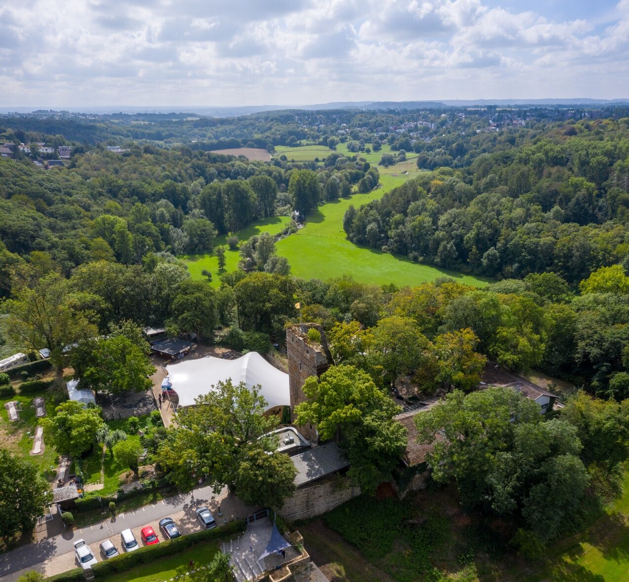
If you come from Aachen and enjoy jogging, cycling or extensive walks, you will have already discovered the Wurmtal with its multifaceted landscape. The varied hiking trails lead through a cultural landscape marked by meadows, woodlands and farmland and offer new discoveries behind every bend. The nature reserve north of the city of Aachen on the territory of the cities of Würselen and Herzogenrath on both sides of the river Wurm is approx. 445 hectares in size and is characterised in large parts by freely vibrating river meanders of the Wurm in the open valley meadow. The largely natural course of the river has an impressive flow dynamics that is unparalleled throughout the country. The course of the water changes constantly by the power of the flowing water, new channels, gravel banks, crumbling steep banks, abandoned river beds and new alluvial forests are constantly being created. Because of the food in the gravel and sand deposits of the worm, the water is particularly attractive to certain, sometimes rare bird species. In the shoreline edges of the worm, for example, the rare kingfisher finds ideal nesting opportunities. Beavers have also been returning to the worm for some years now. But not only nature draws from the abundance, the Wurmtal also has a lot to offer in terms of cultural history. Wilhelmstein Castle, for example, towers high above the Wurmtal valley. Built as a medieval border castle, the castle ruin is today the attraction in the Wurmtal recreation area. In the summer months, cultural events from classical music to rock, from theatre and cabaret to open air cinema take place in the shadow of the castle, which are well-known and popular far beyond the borders of Würselen and the Aachen region. Old mills, on the other hand, are reminiscent of the industrial cultural heritage, as are various heaps or numerous places where coal seams still reach to the surface.
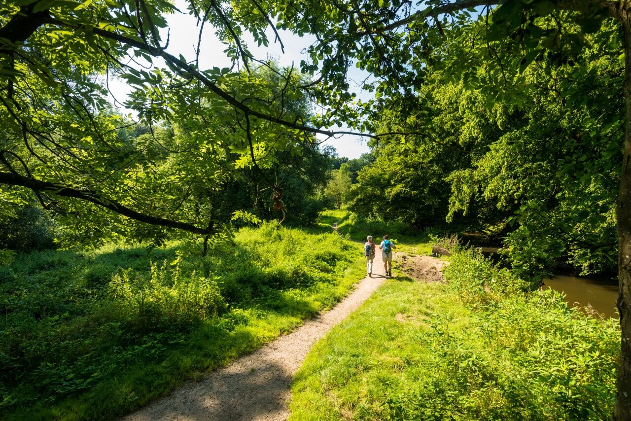
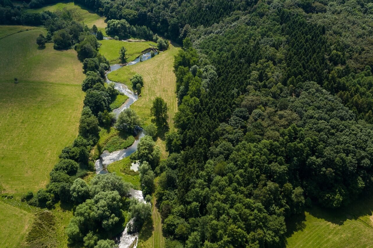

The approx. 6 kilometre long loop is completely marked with the A1 road markings. The nature-oriented paths run in places in close proximity to the river - whereby the worm suddenly disappears and reappears unexpectedly elsewhere. There may be some short medium gradients, but otherwise the track is relatively flat.
Wanderkarte NR1: Aachen, Eschweiler, Stolberg, 1:25.000, Hrsg. Eifelverein e.V., € 10, ISBN 978-3-921805-58-9
With waterproof hiking boots, clothes adapted to the weather, enough water and a little food you are well equipped for the tour.
In bad weather conditions, some paths may be slippery or difficult to walk on.
Use our route planner for the individual planning of your journey by car and enter "Kohlscheider Straße, Würselen" as your destination.
The bus stop "Würselen - Bardenberg Wurmtal" closest to the starting point is served by line HZ2. Your personal connection information with tariff information for travelling by public transport is available at: www.avv.de
You can park your car in the car park Wurmbrücke/Kohlscheider Straße, which is also the starting point of the tour.
Combine the tour with the other marked trails in the Wurmtal
Hiking trail A2
Hiking trail A3
Hiking trail A4
Hiking trail A5
Those who would like to explore the Wurmtal on foot can do so on six hiking trails marked by the association " Linker Niederrhein e.V.". The main axis is the approx. 16 km long hiking trail E 8, also shown in our route planner, which leads from Herzogenrath to the historic old town of Aachen. This axis is supplemented by a system of 5 marked trails (A1 to A5) which can be combined with each other as desired and thus also allow exploration of the Worm Valley on attractive marked trails. The A 2 circular trail shown here, about 3 kilometres long, opens up the area of the Wurmtal valley around Wilhelmstein Castle. In combination with the circular trail A2, the hike can be extended to about 8.5 km, in combination with circular trail A3 to about 7.5 km or, in combination with both tours, to about 13 km.
Wilhelmstein CastleIn
the summer months, cultural events from classical music to rock, from theatre and cabaret to open air cinema take place in the shadow of the castle, which are well-known and popular far beyond the borders of Würselen and the Aachen region. Information on the events is available from StadtentwicklungWürselen GmbH und Co KG ( Klosterstraße 33,52146 Würselen, Tel. +49 (0) 24 05 / 42949-0, E-Mail: info@burg-wilhelmstein.com, www.burg-wilhelmstein.com) Also a restaurant Restaurant Burg Wilhelmstein (An Wilhelmstein, 52146 Würselen, Tel. 02405 85201, www.burgwilhelmstein.de) with 18-hole miniature golf course can be found there, so that the castle is especially suitable for families with children also for a short break.
Parcours populaires à proximité
-
5,0
Drielandenroute
facileRandonnée 16,7 km -
4,0
Rondwandeling het Hijgend hert.
moyenRandonnée 10,4 km -
5,0
Route des Vins Wahlwiller-Eys, Limburg/Nederland
moyenRandonnée 10,1 km -
Rondje Terziet en Vijlerbos.
facileRandonnée 8,07 km -
5,0
Burg Wilhelmstein - Aachener Dom (Bardenberg) #LL2ROM V14 (Erkelenz - Aachen Prt. 4 von 4)
facileRandonnée 11,5 km -
5,0
Glooiende vergezichten
moyenRandonnée 12,1 km -
Grenzlandhighlights
moyenRandonnée 10,5 km -
5,0
Geilenkirchen- Burg Wilhelmstein (Bardenberg) #LL2ROM V10 (Erkelenz - Aachen Prt. 3 von 4)
moyenRandonnée 21,0 km -
The North of the CitiesRegion Aachen
moyenFaire du vélo 48,4 km -
Toskana im Mergelland
moyenFaire du vélo 38,0 km

Randonnée et suivi


Ne manquez pas les offres et l'inspiration pour vos prochaines vacances
Votre adresse électronique a été ajouté à la liste de diffusion.





