


Discovery Loop Stindertal Valley
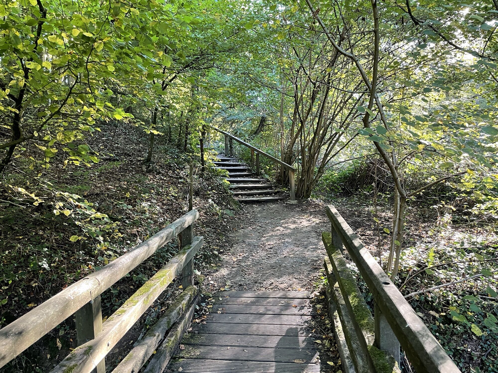
This route starts from the Nösenberg car park (Südring/B7) and descends into the wild and romantic Stinderbachtal valley. On this path, following the brook of the same name, you experience pure, unspoilt...
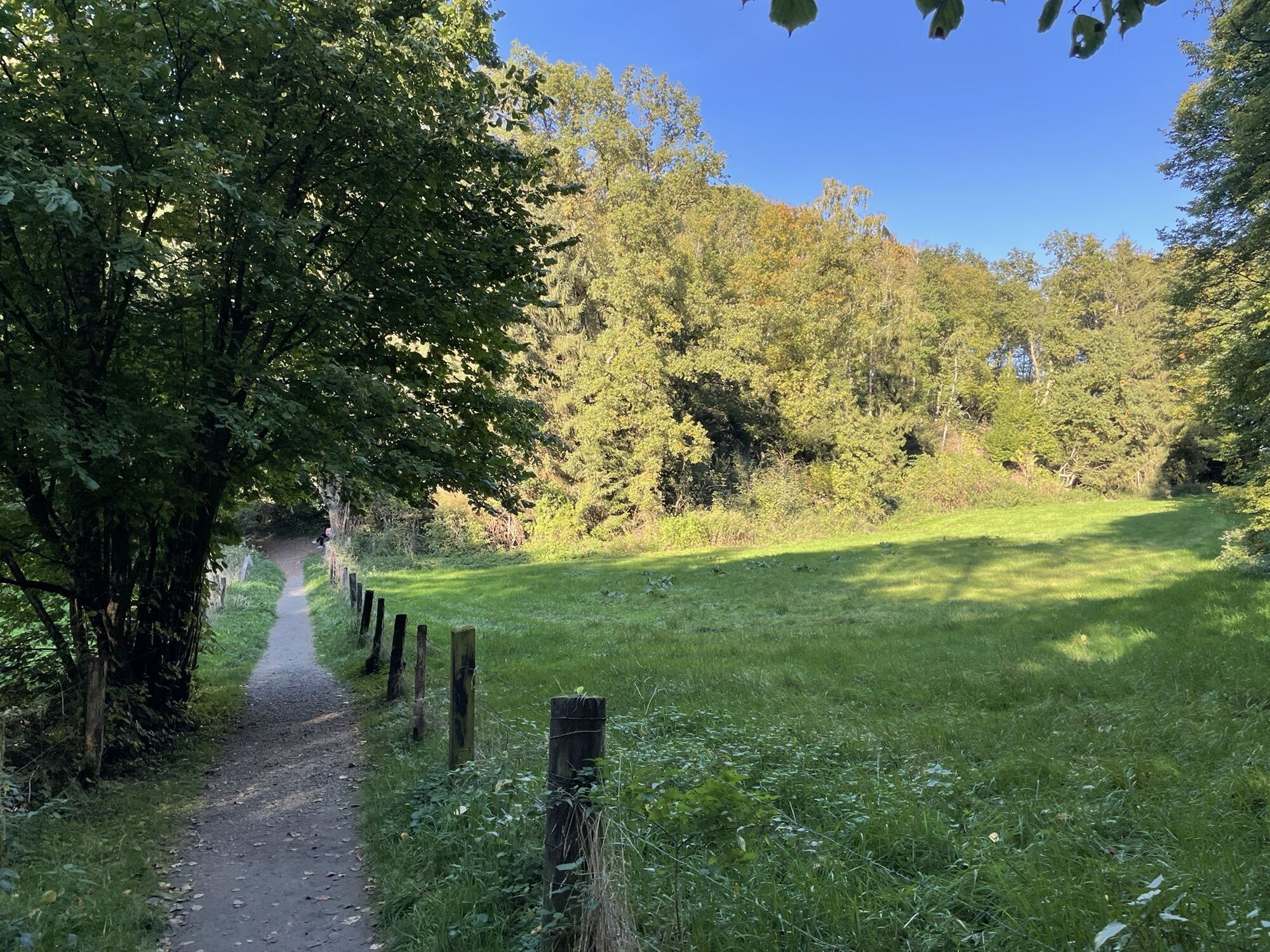
This route starts from the Nösenberg car park (Südring/B7) and descends into the wild and romantic Stinderbachtal valley. On this path, following the brook of the same name, you experience pure, unspoilt nature. The forest paths give you fantastic views of wetlands, meadows and woodland. From here, you cross into the Neandertal valley, passing the historic railway station as well as the world-famous museum.
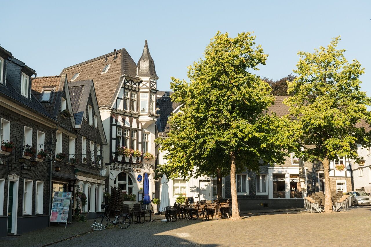
The route then takes you parallel to the Mettmann stream into Mettmann town centre via the Evolution Trail, which tells you the developmental history of the town, the region and the valley. In the upper town there are many beautiful, historical buildings such as Beckershoff Villa, the church of St. Lambertus and the town history museum. Numerous pubs and cafes offer a chance to refresh yourself before you continue west out of the town and back to the start.
Parking: Nösenberg, Mettmann (opposite the Road Stop Motel Neandertal)
Bus Haltestelle Peckhauser Str./Kreispolizeibehörde, Linien 738, 745, SB68
Parcours populaires à proximité
-
5,0
Neandertaler Runde
facileRandonnée 12,6 km -
4,7
Stindertal (A2 Trail)
facileRandonnée 7,59 km -
3,0
Rotthäuser Höhe und Tal
facileRandonnée 9,41 km -
5,0
Etappe 07: Schlösser & Ruhrtal-Panorama
moyenRandonnée 8,53 km -
5,0
Etappe 06: Paradies mit Museumslandschaft
moyenRandonnée 14,2 km -
5,0
Grafenberger Waldrunde
moyenRandonnée 10,3 km -
4,5
A9 Angerthal
moyenRandonnée 10,8 km -
5,0
D-Rotthäuser Bachtal (10)
facileRandonnées d'hiver 8,66 km -
5,0
Etappe 02: Von der Düssel zur Pilgerstätte
moyenRandonnée 11,4 km -
5,0
Etappe 08: Von der Landebahn in die Natur
facileRandonnée 18,7 km
Randonnée et suivi


Ne manquez pas les offres et l'inspiration pour vos prochaines vacances
Votre adresse électronique a été ajouté à la liste de diffusion.