







Via Celtica - In tune with the Celts

The Via Celtica is a spiritual hiking trail. Spirituality has come to play a central role in society. Many people are searching for direction, a place to retreat to, and meaning in the modern world. Put...
The Via Celtica is a spiritual hiking trail. Spirituality has come to play a central role in society. Many people are searching for direction, a place to retreat to, and meaning in the modern world. Put very simply, spirituality is the search for meaning.
Impressive natural phenomena like a colourful flower meadow, a babbling spring, the effervescent Eder river, majestic trees, mystical forests and rocky landscapes with towering cliffs line the route as the anchor points of this challenging trail.
The Celts lived in harmony with nature and worshipped it. They used plants as medicines, saw springs and rocks as points of contact with the Other World and interpreted mighty trees as divine symbols.
It is not primarily about a topic that gave rise to lively discussions when planning the project: Was Wittgenstein part of Celtic culture or just an area of contact? Are there specific indications of the influence of Celtic culture in Wittgenstein? Which regions in the surrounding areas can be definitively identified as Celtic?
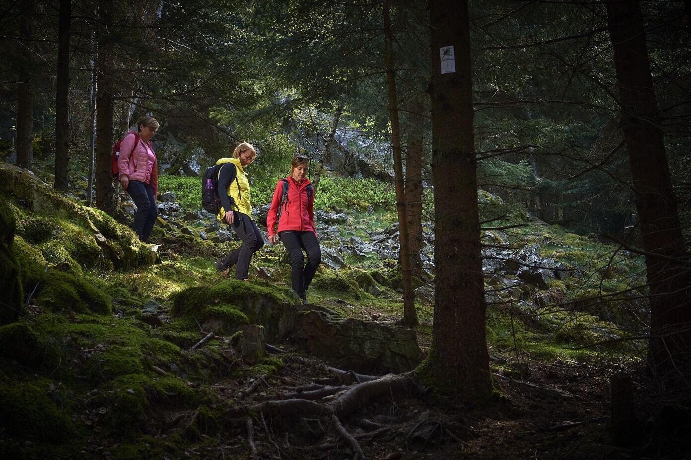
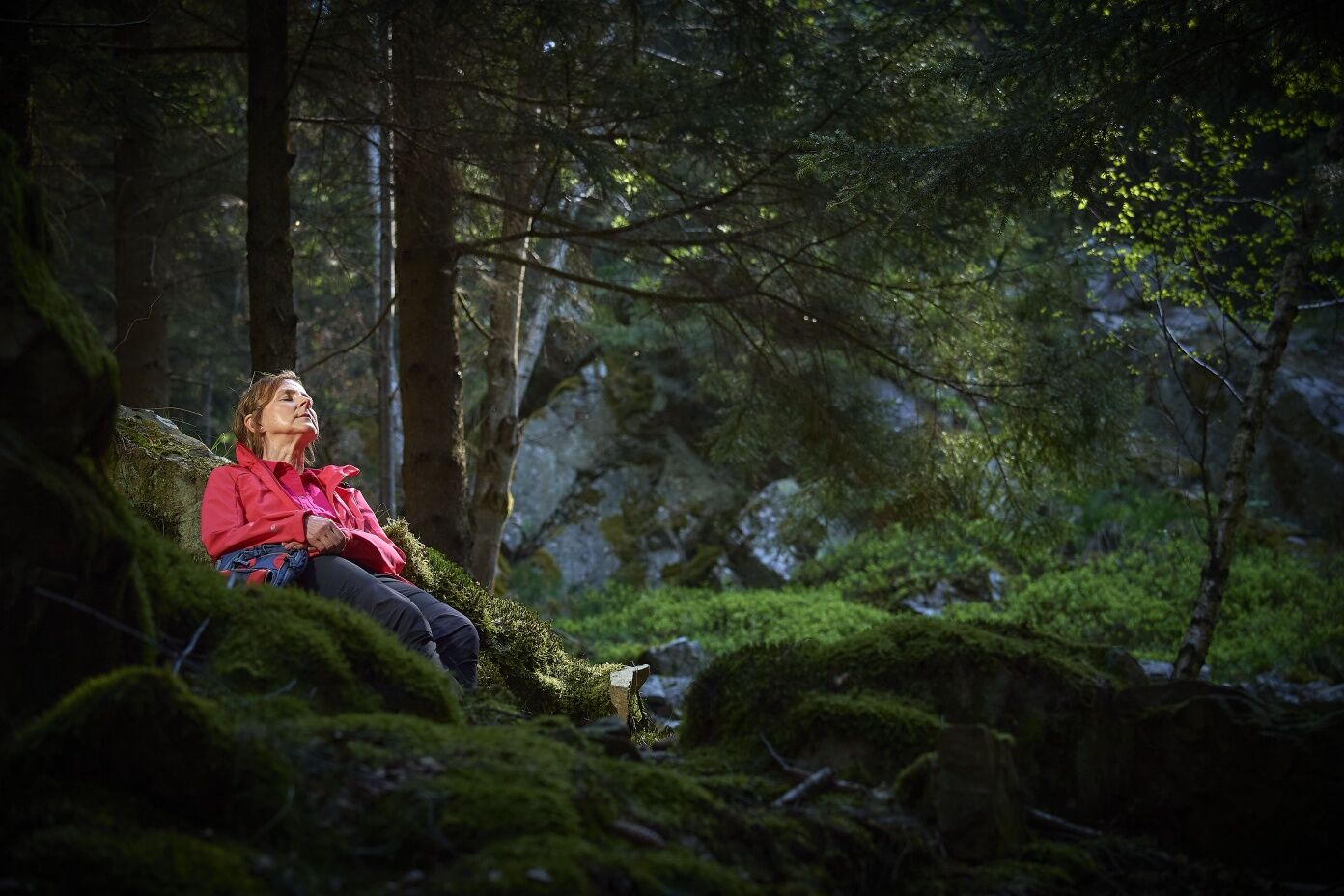
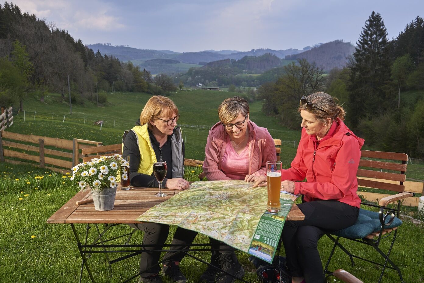
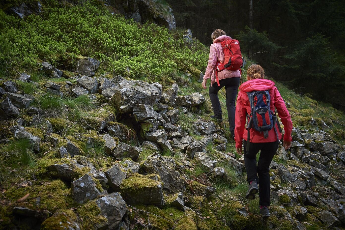
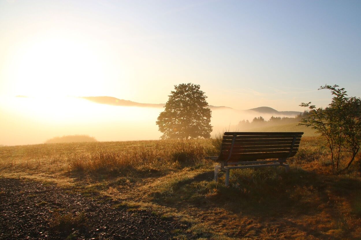
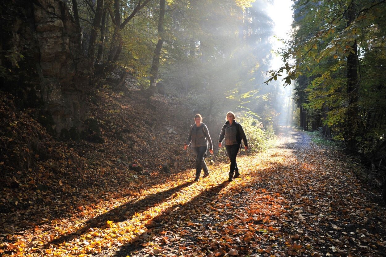

We walk uphill to the source of the Meisbach. In times gone by, springs were worshipped all over the world.
A short distance away, we can see Burgberg on the opposite side, a well-proportioned, aesthetically “beautiful” hill.
On the heights, we come to the “Großer Keller” nature conservation area. The mighty spruce trees with at least two crowns each, the “Zweisel”, are quite striking. The nearby juniper heath is under strict nature conservation. Juniper was an important healing plant for the Celts.
We enjoy a wide-ranging view of the Edertal valley and the surrounding hilly landscape from a viewing platform.
Then it’s downhill to the Eder river under the bridge. Rivers were a symbol of the circle of life for the Celts.
After a steep climb, we come to a mystical oak forest, the Honert, interspersed with numerous cliffs.
After descending again, we reach a highpoint of the tour at Dotzlarer Weir. Three natural phenomena that held great meaning for the Celts occur together here: a river, a steep ledge projecting into the river and an ancient oak tree.
After a short, demanding climb, we approach our next viewing point. We can see the prominent pyramid-like Hohen Stift, over which the sun rises on the winter solstice, and to the left by the Honert forest, the Rammelsberg, over which the sun rises at the summer solstice.
We hike to the next place of power, an extensive rocky region with vertical crags and broad piles of rock scree.
After another climb, we reach a Dotzlar landmark, the “Zollbaum” (toll tree) and a landscape that was planted as part of a juniper conservation project.
The destination for the hike is the fort dating back to Celtic times, the remains of which can only barely be made out. The fort is a mysterious and mystical place. We can still only guess as to the function the complex served.
The hike ends here. We look out over two thirds of the landscape we have hiked. You can see the area around the source of the Meisbach, the nature conservation area, the Edertal valley and the Honert forest. After a short descent we reach the exit point.
Rucksack provisions and sufficient water are recommended.
The "Laubrother Straße" car park is in the centre of the village of Dotzlar. Coming from the direction of Raumland, you turn left in the village of Dotzlar in the direction of the Kulturhalle. After approx. 400 m, the car park is on the right.
There is plenty of parking at the start point.
Unterwegs gibt es kalte Getränke aus dem Erdkühlschrank.
Zwei Waldrast-Stationen laden zur besonderen Einkehr in der Natur ein.
Parcours populaires à proximité
- 5,0
Rothaarsteig
moyenChemin de Grande Randonnée 152 km - 5,0
Von Schanze über den Rothaarsteig nach Jagdhaus (ÖPNV-Tour)
moyenRandonnée 14,3 km - 4,0
Wittgensteiner Schieferpfad (Wittgenstein slate trail) - An exciting Adventure
difficileRandonnée 13,7 km - 5,0
Rundweg um Fleckenberg (F2)
moyenRandonnée 13,9 km - 3,0
Wisent-Pfad - Rothaarsteig-Spur - Tierisches Wandervergnügen
difficileRandonnée 13,2 km Sentier de randonnée de la Lahn 03e étape Bad Laasphe – Biedenkopf
moyenRandonnée 17,6 km- 4,0
Rothaarsteig-Spur - Zinser Grenzpfad
moyenRandonnée 14,4 km Sentier de la Lahn étape 02 Feudingen – Bad Laasphe
moyenRandonnée 16,8 km- 4,0
Sauerland-Höhenflug : d’Altastenberg à Hallenberg
difficileRandonnée 24,6 km - 4,0
Golddorf-Route Latrop
facileRandonnée 5,54 km
Randonnée et suivi


Ne manquez pas les offres et l'inspiration pour vos prochaines vacances
Votre adresse électronique a été ajouté à la liste de diffusion.





