Naviguer avec l'appli
Télécharge cette visite sur ton portable
Carte
Um den Stausee - spiritueller Wanderweg der Nikolaus Kirche Olsberg
Chemin thématique
5,60 km
Scanner le code QR et commencer la navigation dans l'application bergfex
QR Code
Randonnée & tracking

Um den Stausee - spiritueller Wanderweg der Nikolaus Kirche Olsberg

Distance
5,60 km
Durée
01:22 h
Ascension
16 m
Altitude
331 - 362 m
Téléchargement de la piste
Carte
Um den Stausee - spiritueller Wanderweg der Nikolaus Kirche Olsberg
Chemin thématique
5,60 km

@font-face {font-family:"Cambria Math"; panose-1:2 4 5 3 5 4 6 3 2 4; mso-font-charset:0; mso-generic-font-family:roman; mso-font-pitch:variable; mso-font-signature:-536869121 1107305727 33554432 0 415...

Description
@font-face {font-family:"Cambria Math"; panose-1:2 4 5 3 5 4 6 3 2 4; mso-font-charset:0; mso-generic-font-family:roman; mso-font-pitch:variable; mso-font-signature:-536869121 1107305727 33554432 0 415 0;}@font-face {font-family:Aptos; mso-font-charset:0; mso-generic-font-family:swiss; mso-font-pitch:variable; mso-font-signature:536871559 3 0 0 415 0;}p.MsoNormal, li.MsoNormal, div.MsoNormal {mso-style-unhide:no; mso-style-qformat:yes; mso-style-parent:""; margin-top:0cm; margin-right:0cm; margin-bottom:8.0pt; margin-left:0cm; line-height:107%; mso-pagination:widow-orphan; font-size:11.0pt; font-family:"Aptos",sans-serif; mso-ascii-font-family:Aptos; mso-ascii-theme-font:minor-latin; mso-fareast-font-family:Aptos; mso-fareast-theme-font:minor-latin; mso-hansi-font-family:Aptos; mso-hansi-theme-font:minor-latin; mso-bidi-font-family:"Times New Roman"; mso-bidi-theme-font:minor-bidi; mso-font-kerning:1.0pt; mso-ligatures:standardcontextual; mso-fareast-language:EN-US;}.MsoChpDefault {mso-style-type:export-only; mso-default-props:yes; font-size:11.0pt; mso-ansi-font-size:11.0pt; mso-bidi-font-size:11.0pt; font-family:"Aptos",sans-serif; mso-ascii-font-family:Aptos; mso-ascii-theme-font:minor-latin; mso-fareast-font-family:Aptos; mso-fareast-theme-font:minor-latin; mso-hansi-font-family:Aptos; mso-hansi-theme-font:minor-latin; mso-bidi-font-family:"Times New Roman"; mso-bidi-theme-font:minor-bidi; mso-fareast-language:EN-US;}.MsoPapDefault {mso-style-type:export-only; margin-bottom:8.0pt; line-height:107%;}div.WordSection1 {page:WordSection1;}

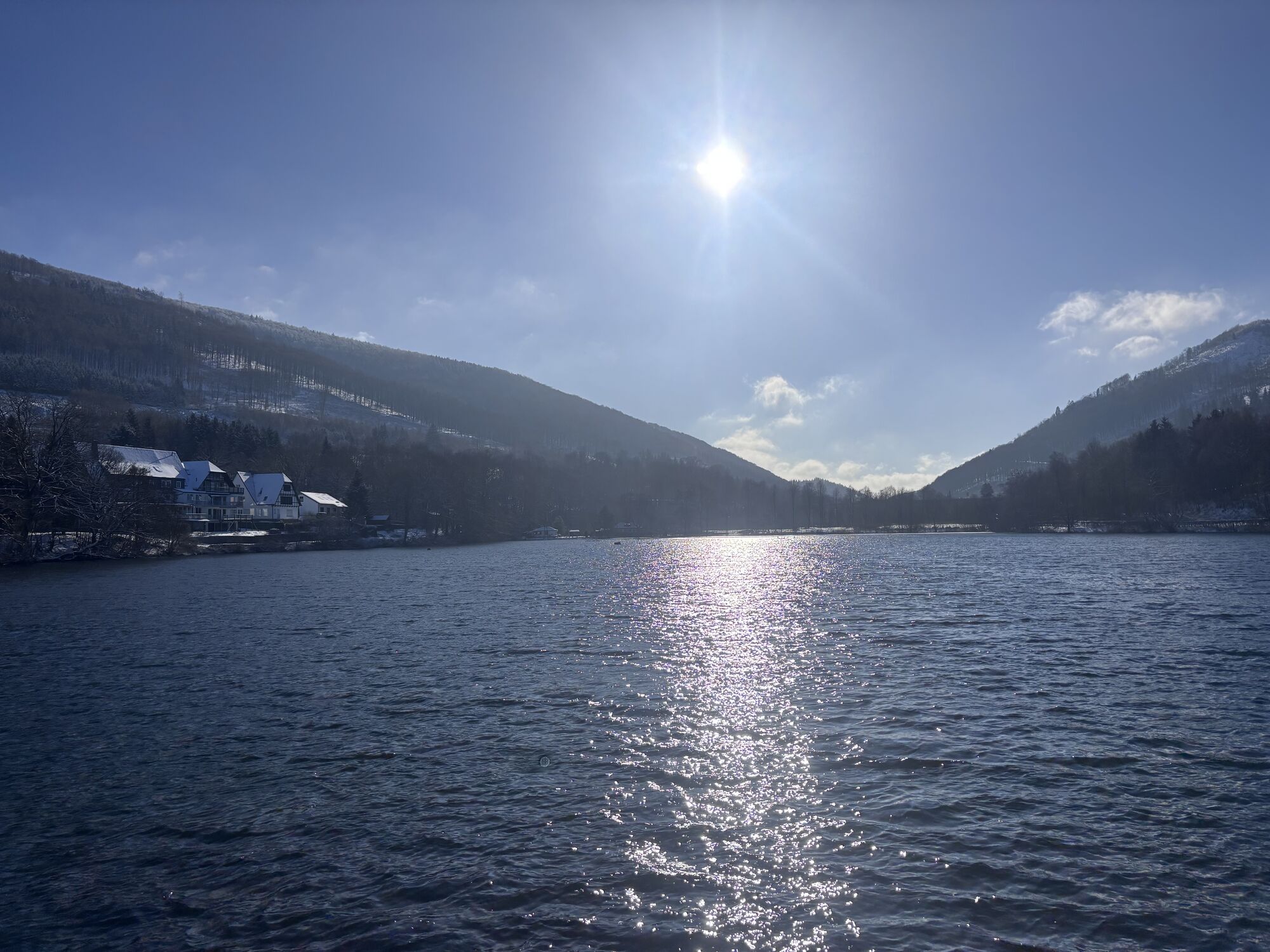
Pilgerweg um den Stausee:

Sie verlassen St. Nikolaus und wenden sich nach links auf die Bahnhofstraße. im 2ten Kreisverkehr gehen Sie nach rechts in die Ruhrstraße, überqueren die Ruhr, und gehen ca. 50 Meter weiter nach links in die Straße „Zum Stausee“. Am Stausee angekommen wenden Sie sich nach rechts in die Straße „Im Dahle“ (Kurterrainweg 6), dem Sie weiter folgen. Im Verlauf des Weges überqueren Sie die Eisenbahnlinie in Höhe des Kraftwerkes Olsberg und wandern in ursprünglicher Richtung weiter.  Nach ca. 600 Metern teilt sich der Kurterrainweg 6 und Sie nehmen den linken Abzweig, der Sie über die Bahnlinie und die Ruhr führt. Dem Kurterrainweg 6 folgen Sie zunächst parallel der Bundesstraße, dann unter dieser durch und im Anstieg des Weges wieder nach links der Markierung K6 folgen. Der K6 biegt nach ungefähr 300 Metern nach rechts ab auf die Bundesstraße, Sie gehen dort geradeaus weiter an der Ruhr und dann direkt am See entlang bis zum Wehr. Auf diesem wenden Sie sich nach links auf den Damm und an dessen Ende erreichen Sie wieder die Straße „Zum Stausee“ der Sie zurück zu St. Nikolaus finden, (siehe Hinweg).


Parcours
Sankt Nikolaus
(341 m)
Lieu de culte
0,0 km
Olsberg
(360 m)
Ville
0,1 km
Sankt Nikolaus
(341 m)
Lieu de culte
5,6 km
Parcours
Carte
Um den Stausee - spiritueller Wanderweg der Nikolaus Kirche Olsberg
Chemin thématique
5,60 km
Sankt Nikolaus
(341 m)
Lieu de culte
0,0 km
Olsberg
(360 m)
Ville
0,1 km
Olsberg
(360 m)
Ville
5,4 km
Sankt Nikolaus
(341 m)
Lieu de culte
5,6 km
Infos sur la visite

@font-face{font-family:"Cambria Math";panose-1:2 4 5 3 5 4 6 3 2 4;mso-font-charset:0;mso-generic-font-family:roman;mso-font-pitch:variable;mso-font-signature:-536869121 1107305727 33554432 0 415 0;}@font-face{font-family:Aptos;mso-font-charset:0;mso-generic-font-family:swiss;mso-font-pitch:variable;mso-font-signature:536871559 3 0 0 415 0;}p.MsoNormal, li.MsoNormal, div.MsoNormal{mso-style-unhide:no;mso-style-qformat:yes;mso-style-parent:"";margin-top:0cm;margin-right:0cm;margin-bottom:8.0pt;margin-left:0cm;line-height:107%;mso-pagination:widow-orphan;font-size:11.0pt;font-family:"Aptos",sans-serif;mso-ascii-font-family:Aptos;mso-ascii-theme-font:minor-latin;mso-fareast-font-family:Aptos;mso-fareast-theme-font:minor-latin;mso-hansi-font-family:Aptos;mso-hansi-theme-font:minor-latin;mso-bidi-font-family:"Times New Roman";mso-bidi-theme-font:minor-bidi;mso-font-kerning:1.0pt;mso-ligatures:standardcontextual;mso-fareast-language:EN-US;}.MsoChpDefault{mso-style-type:export-only;mso-default-props:yes;font-size:11.0pt;mso-ansi-font-size:11.0pt;mso-bidi-font-size:11.0pt;font-family:"Aptos",sans-serif;mso-ascii-font-family:Aptos;mso-ascii-theme-font:minor-latin;mso-fareast-font-family:Aptos;mso-fareast-theme-font:minor-latin;mso-hansi-font-family:Aptos;mso-hansi-theme-font:minor-latin;mso-bidi-font-family:"Times New Roman";mso-bidi-theme-font:minor-bidi;mso-fareast-language:EN-US;}.MsoPapDefault{mso-style-type:export-only;margin-bottom:8.0pt;line-height:107%;}div.WordSection1{page:WordSection1;}Pilgerweg um den Stausee

Auteur
Fourni par Brilon Olsberg GmbH (Geschäftsstelle Brilon)
Partager la visite
Carte
Um den Stausee - spiritueller Wanderweg der Nikolaus Kirche Olsberg
Chemin thématique
5,60 km
Erreur
Une erreur s'est produite. Veuillez réessayer.
Pas encore d'évaluation
Écrire une évaluation

Les évaluations aident les autres utilisateurs à choisir leur prochaine aventure. Veuillez évaluer uniquement l'excursion, pas la météo ni votre casse-croûte.

Choisissez une des étoiles pour évaluer la visite
Mauvaise visite
Tour faible
Tour moyen
Bonne visite
Excellente visite

Webcams de la tournée

bergfex logo Obtenez un aperçu Toujours en direct avec plus de 9.500 webcams. En tant qu'utilisateur Pro, vous pouvez désormais voir les webcams correspondantes à de nombreuses randonnées dans l'application de randonnées de bergfex. Vous pouvez ainsi voir directement les conditions actuelles.
Randonnée et suivi

Randonnée et suivi

Randonnée et suivi
Plus de 550.000 propositions de circuits, des cartes détaillées et un planificateur d'itinéraire intuitif font de cette application un must pour tous les passionnés de nature.
bergfex