







Winter hiking on the Nibelungengau long-distance trail 3: Marbach-Maria Taferl

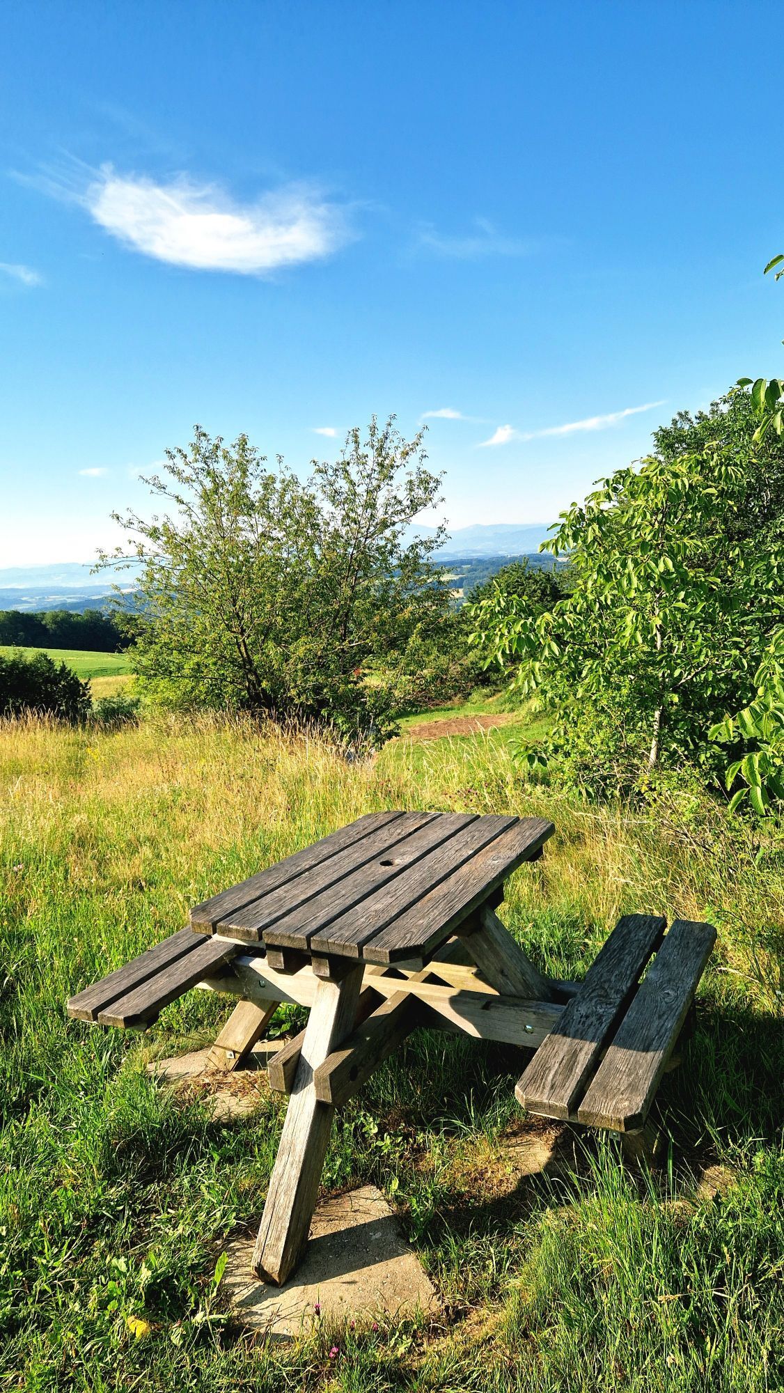
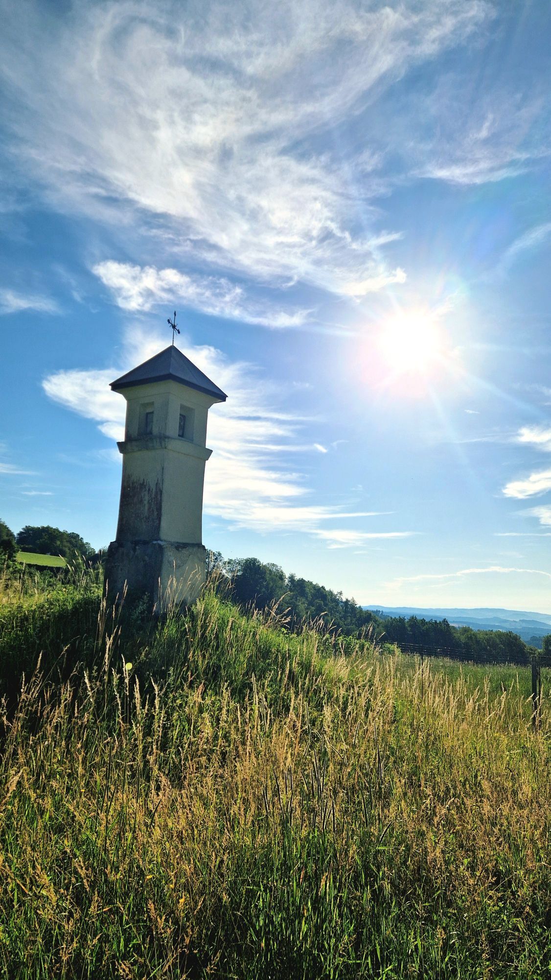
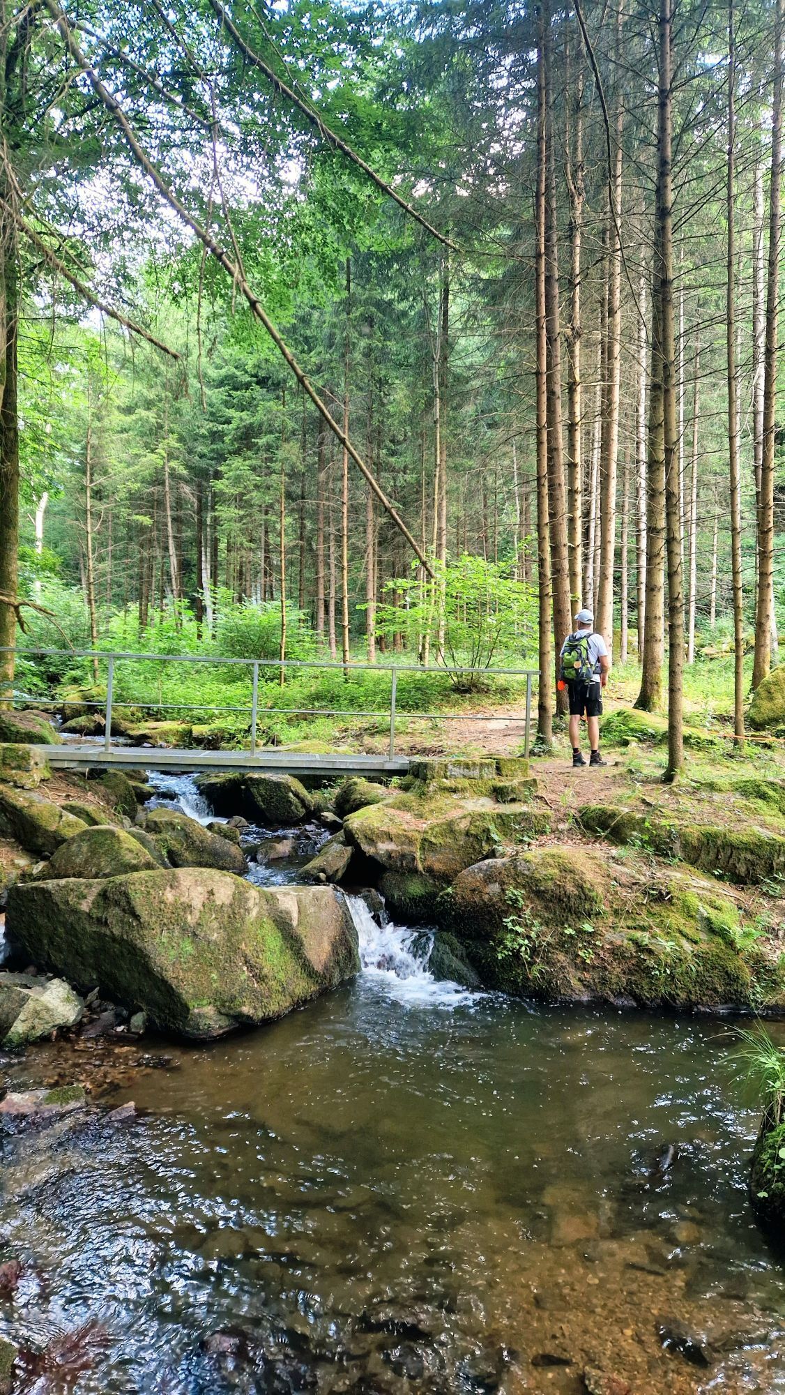
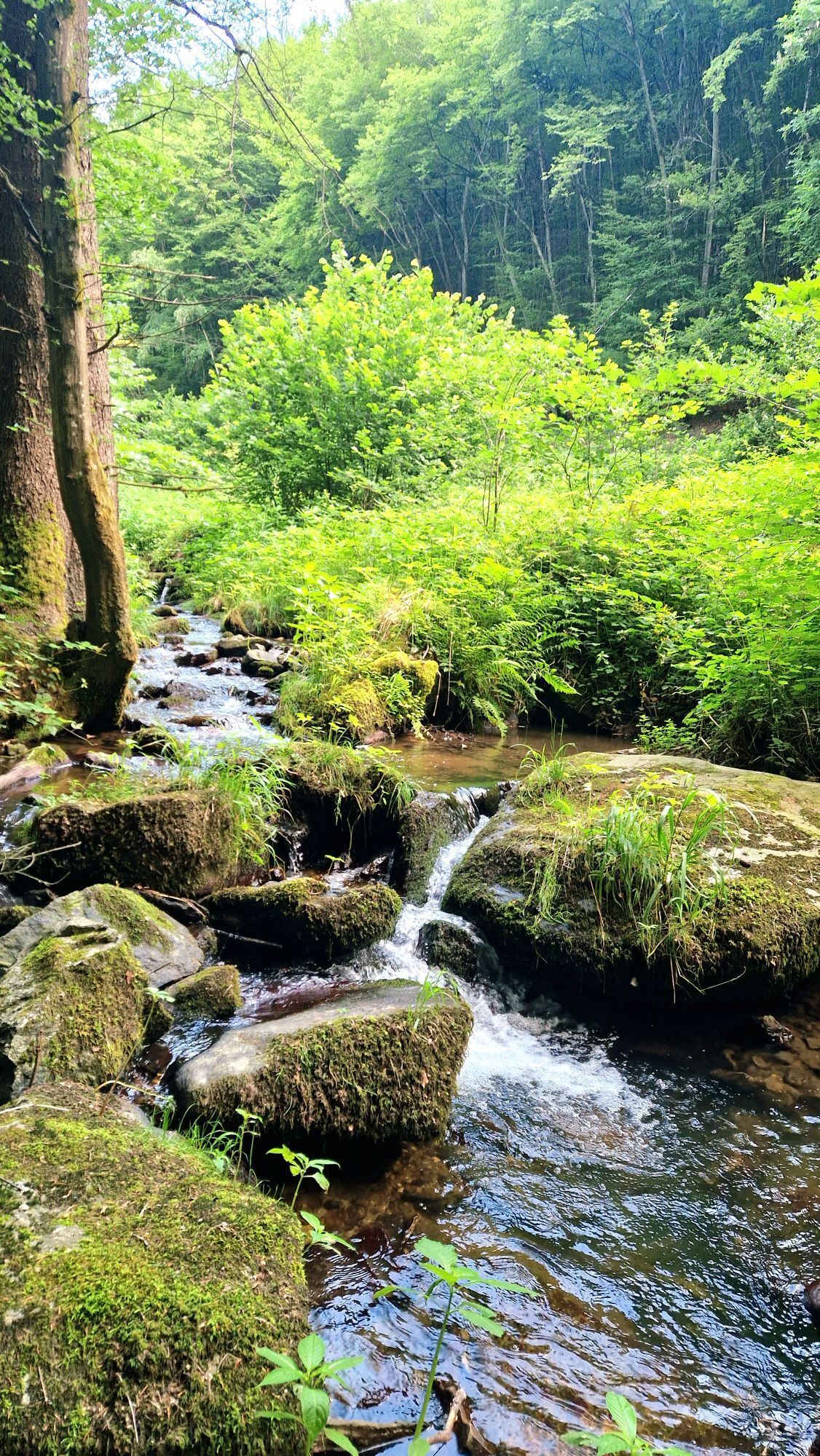

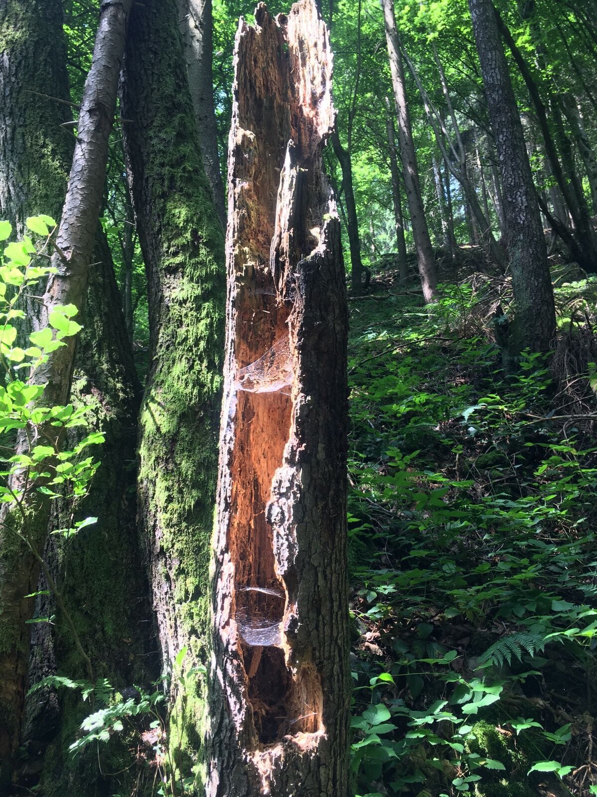
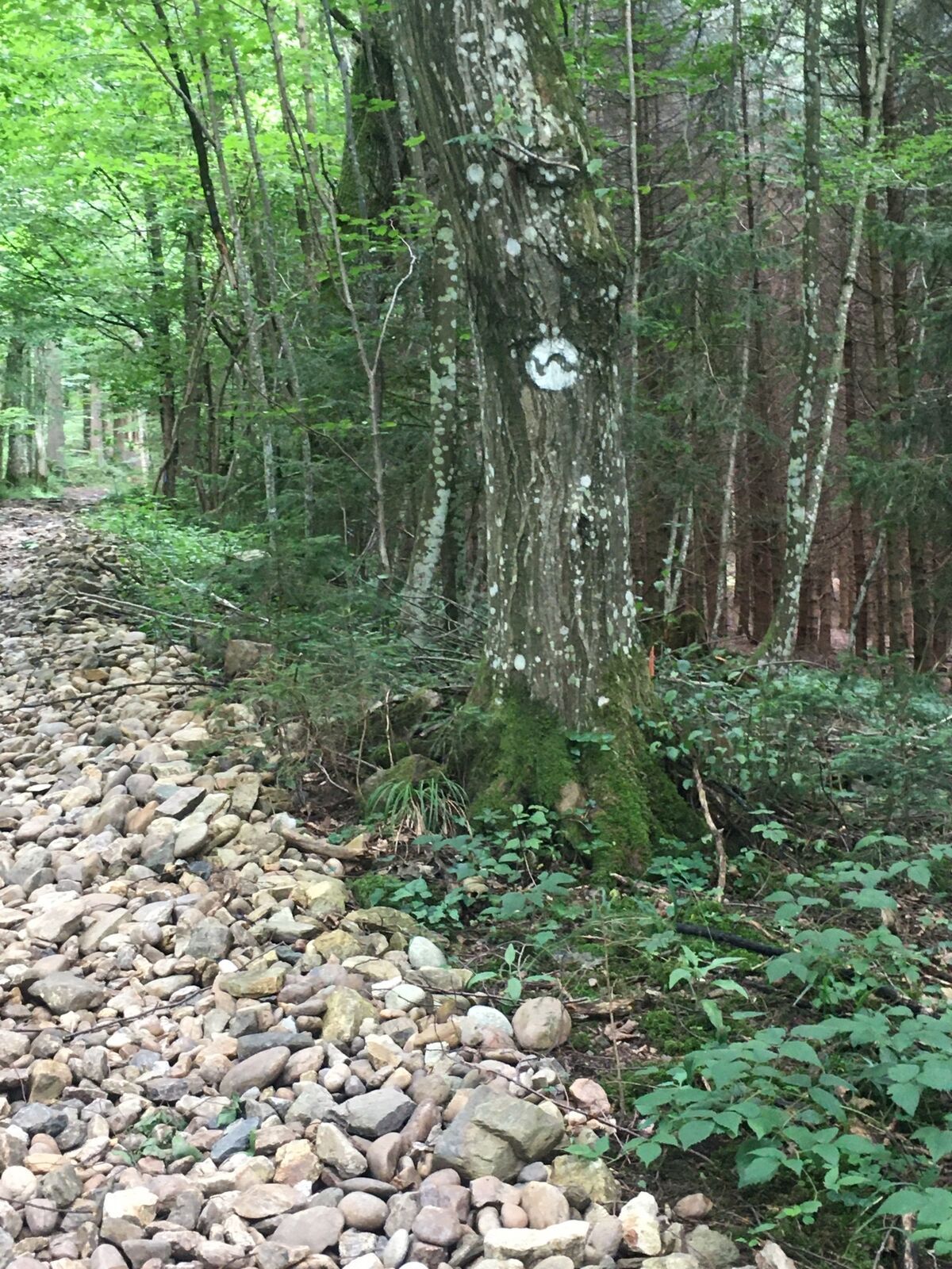
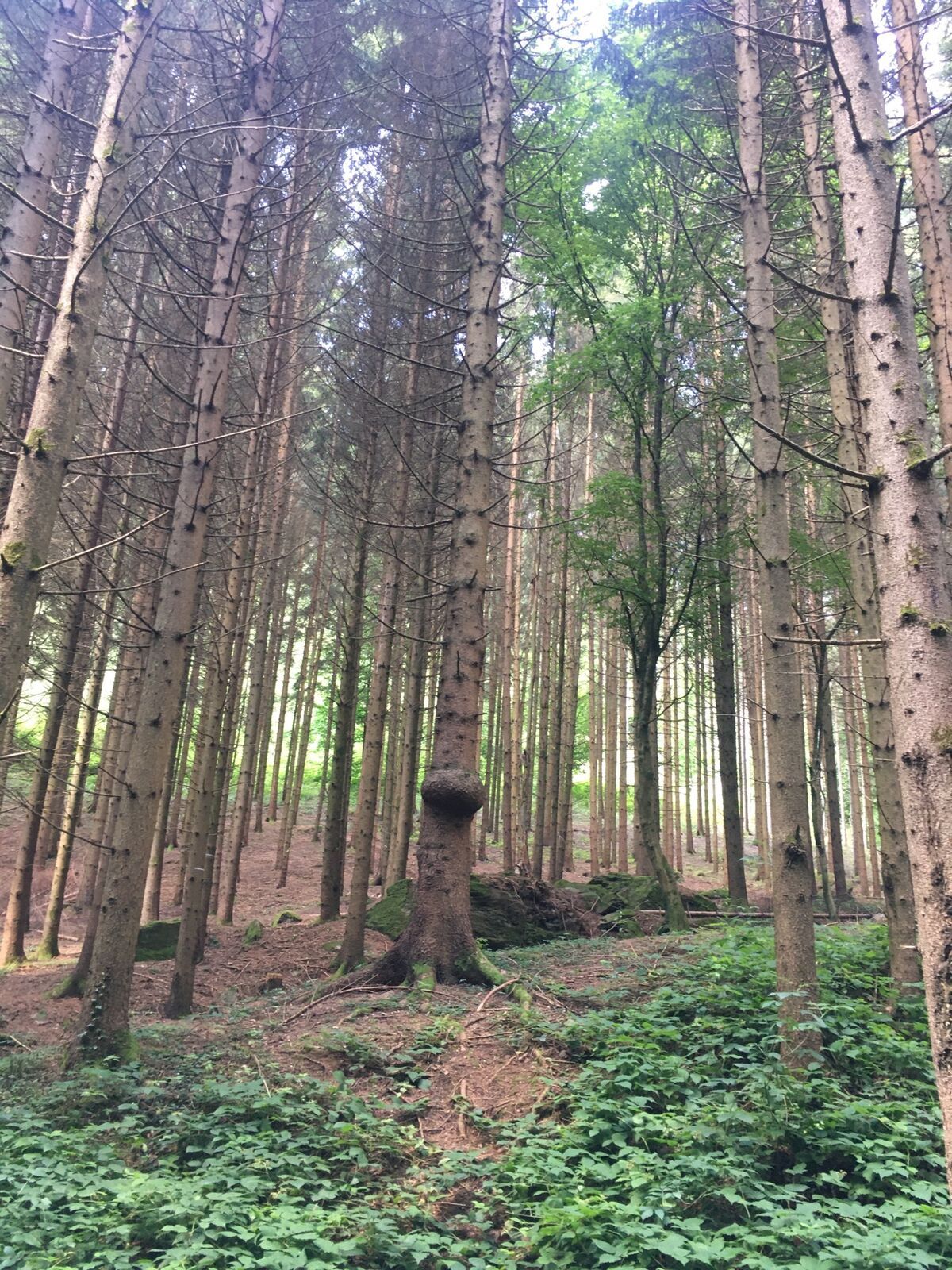
The stage starts at the panorama board at the boat landing stage in Marbach. The trail leads past the Winklermühle mill, up through the untouched nature of the Steinbachklamm gorge. From Hilmanger, the...
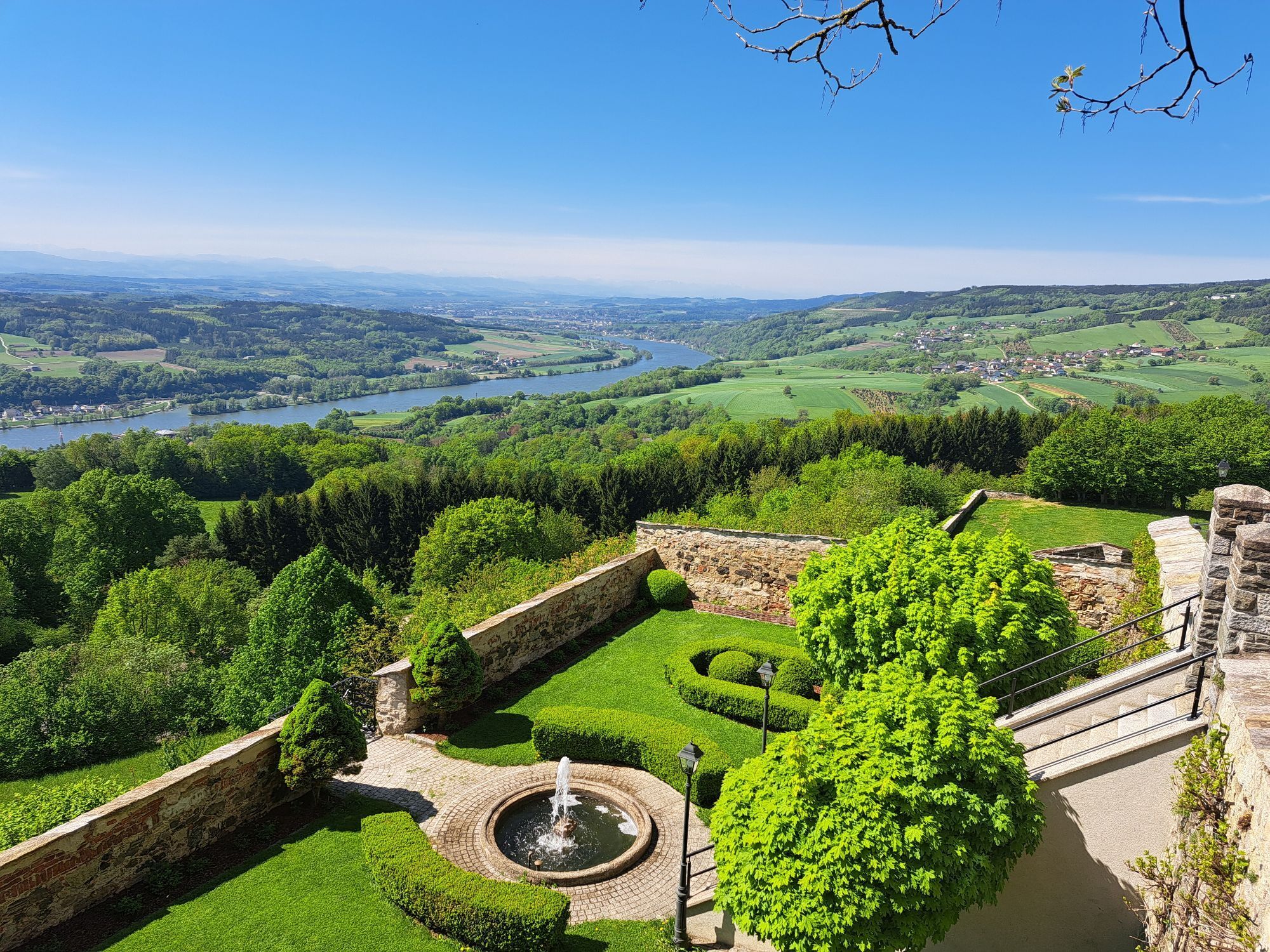
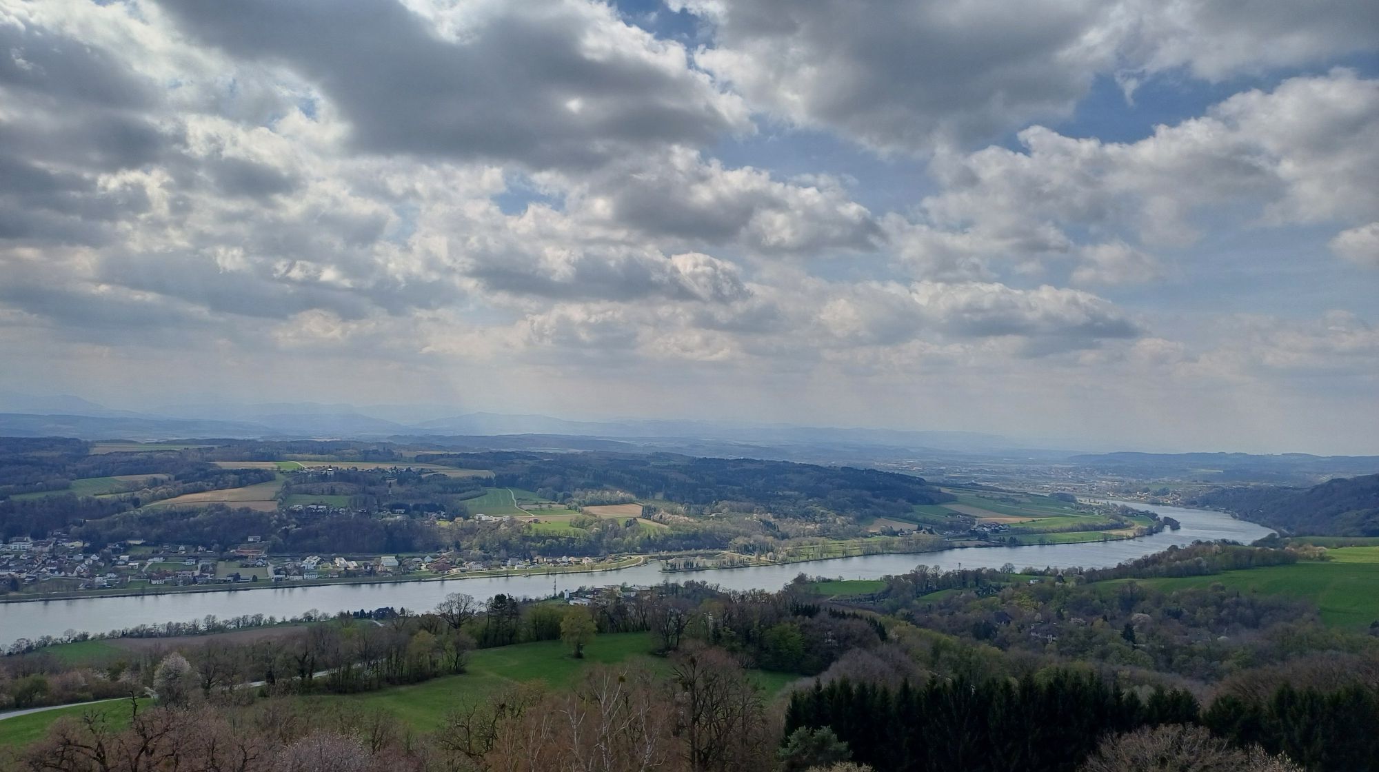
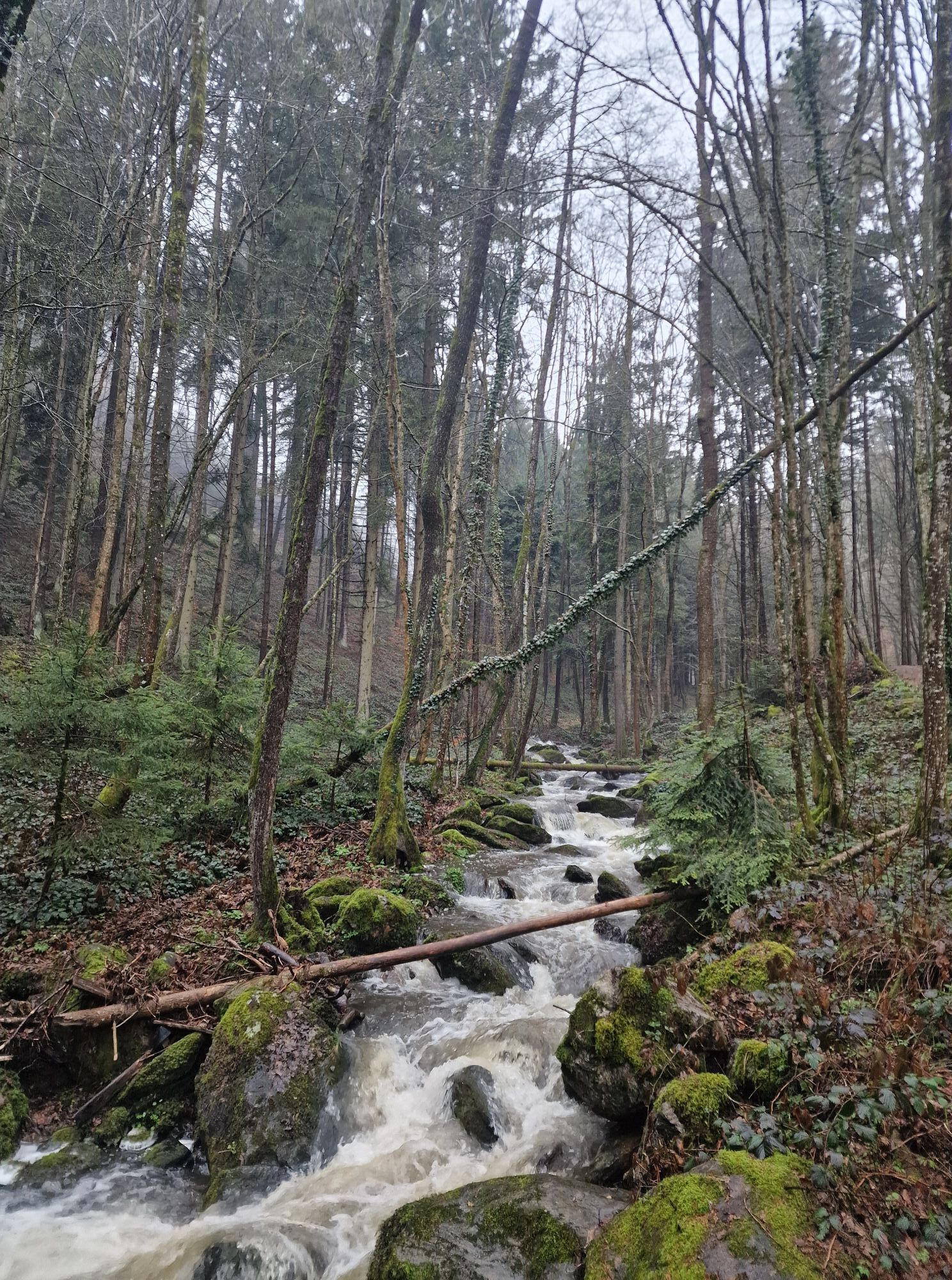
The stage starts at the panorama board at the boat landing stage in Marbach. The trail leads past the Winklermühle mill, up through the untouched nature of the Steinbachklamm gorge. From Hilmanger, the route descends again with wonderful views of the Danube valley. The last section leads uphill through small villages and forests to Maria Taferl.
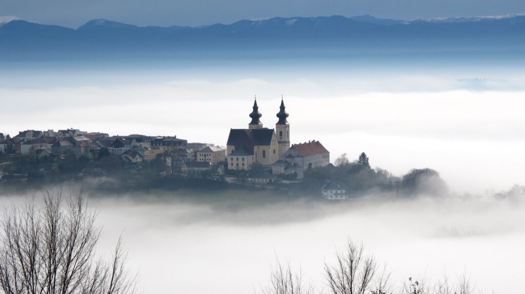
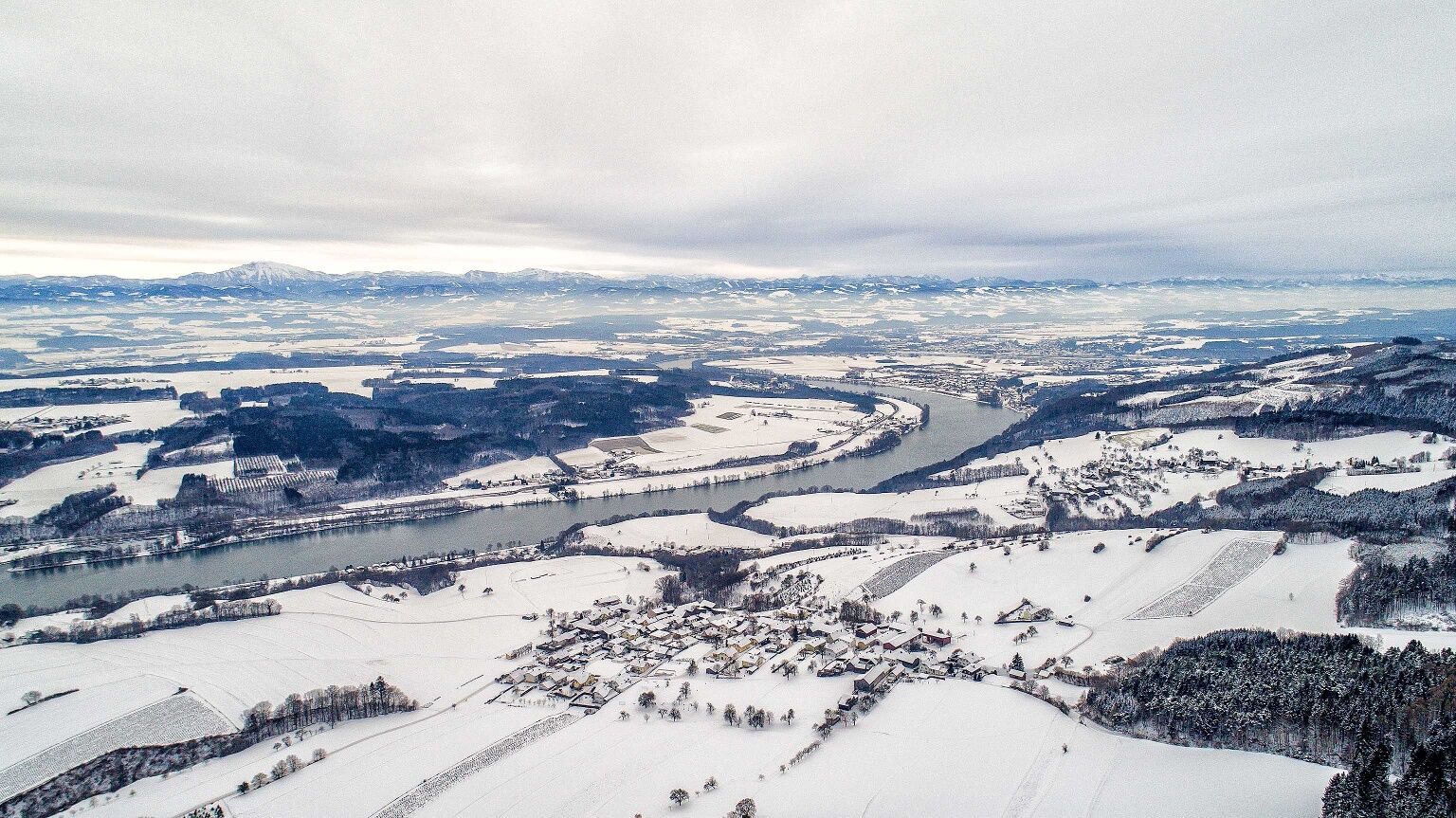
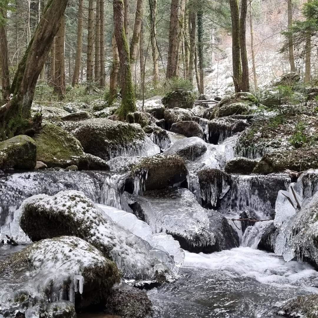

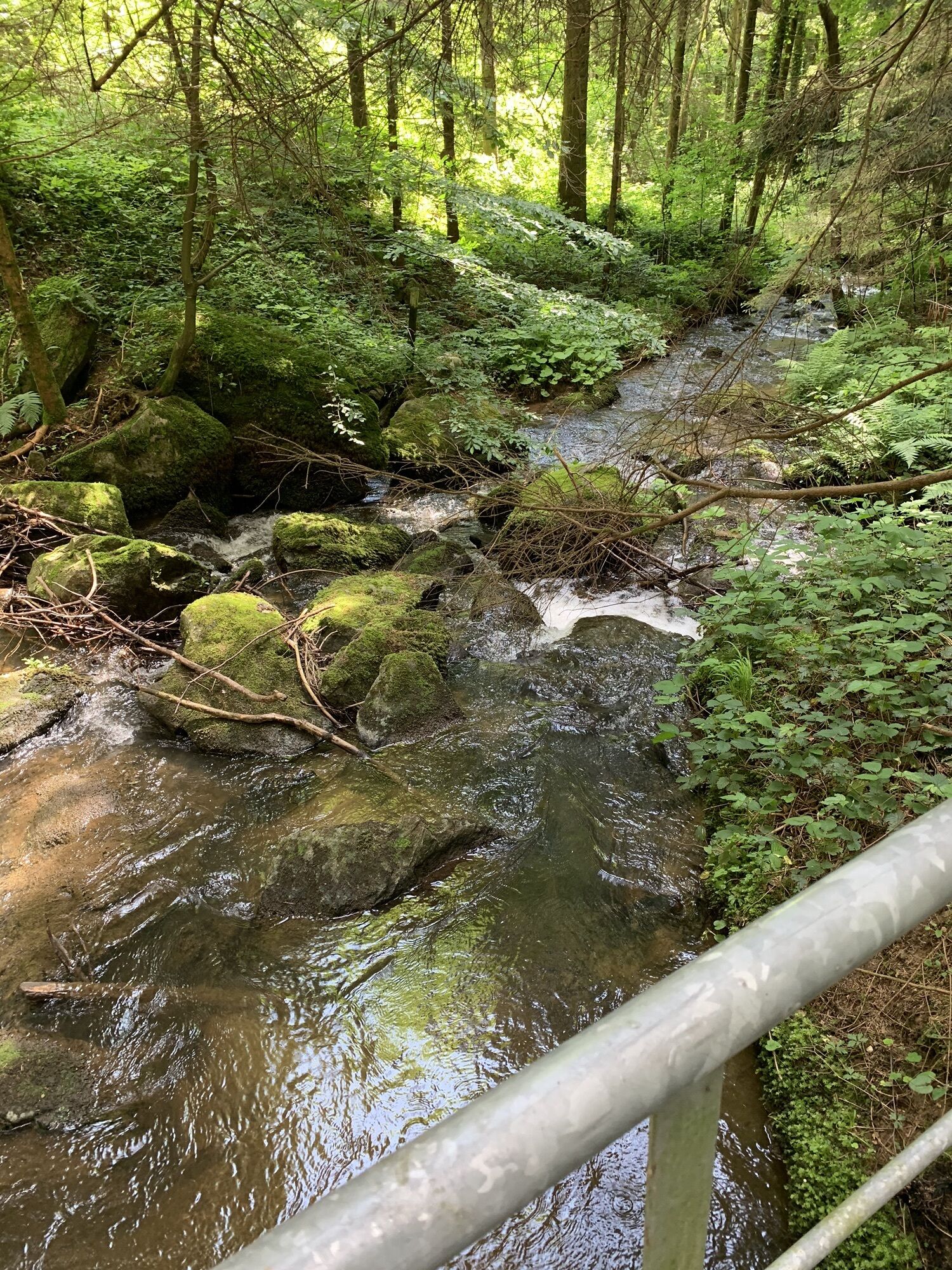
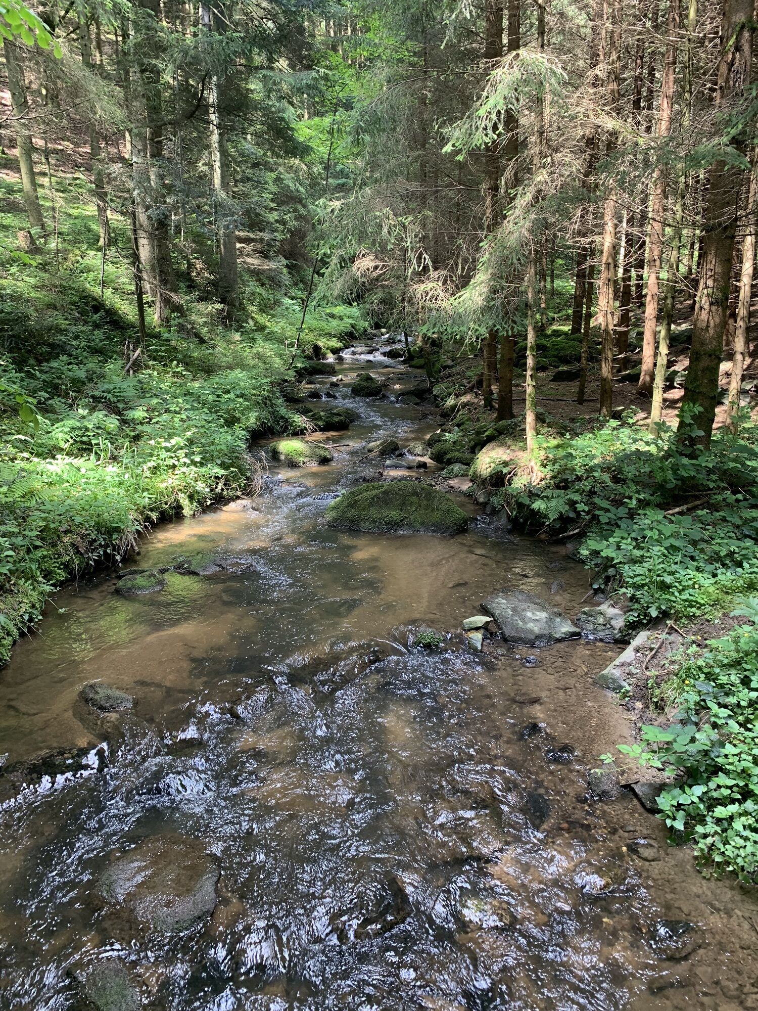
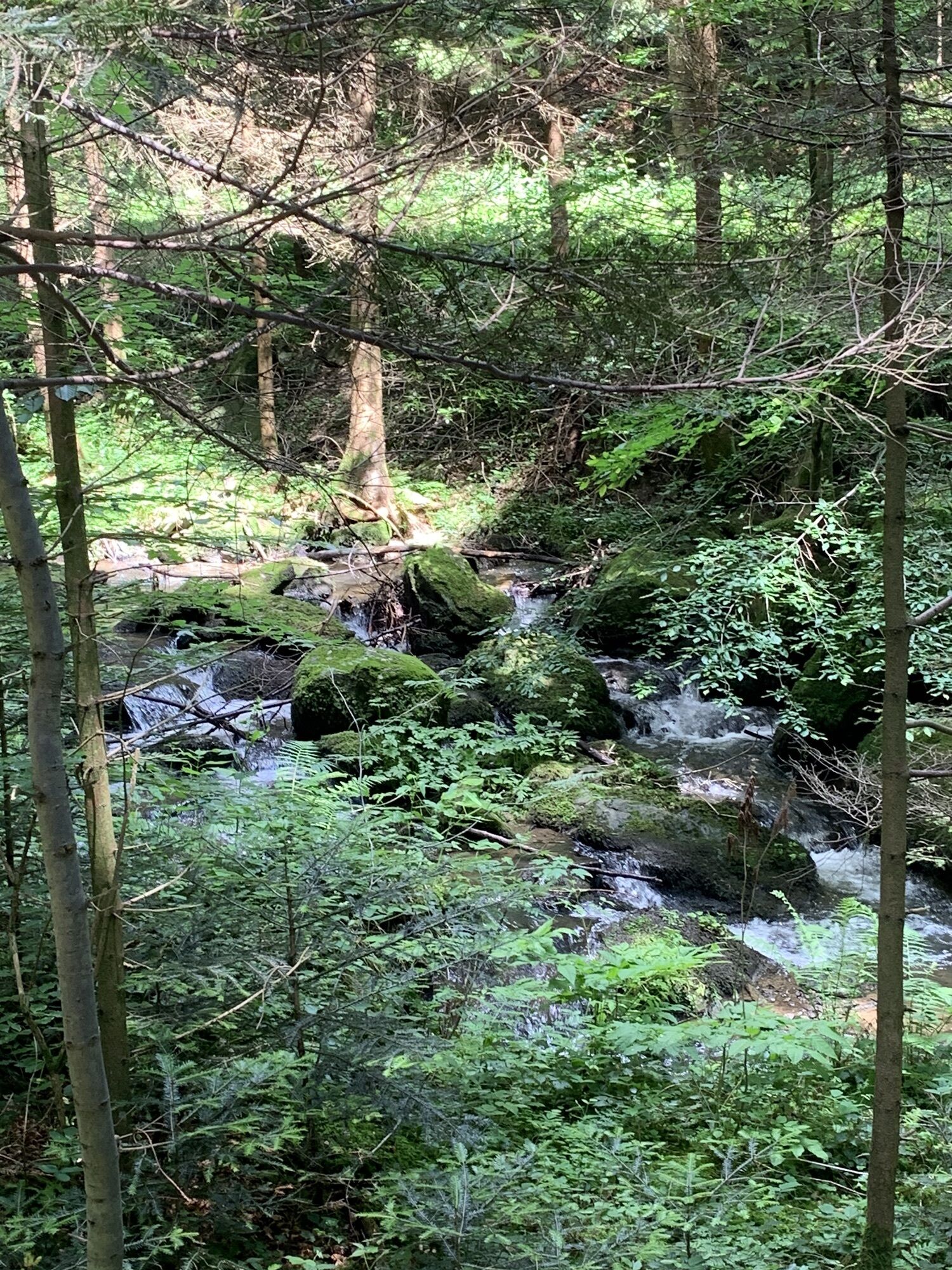
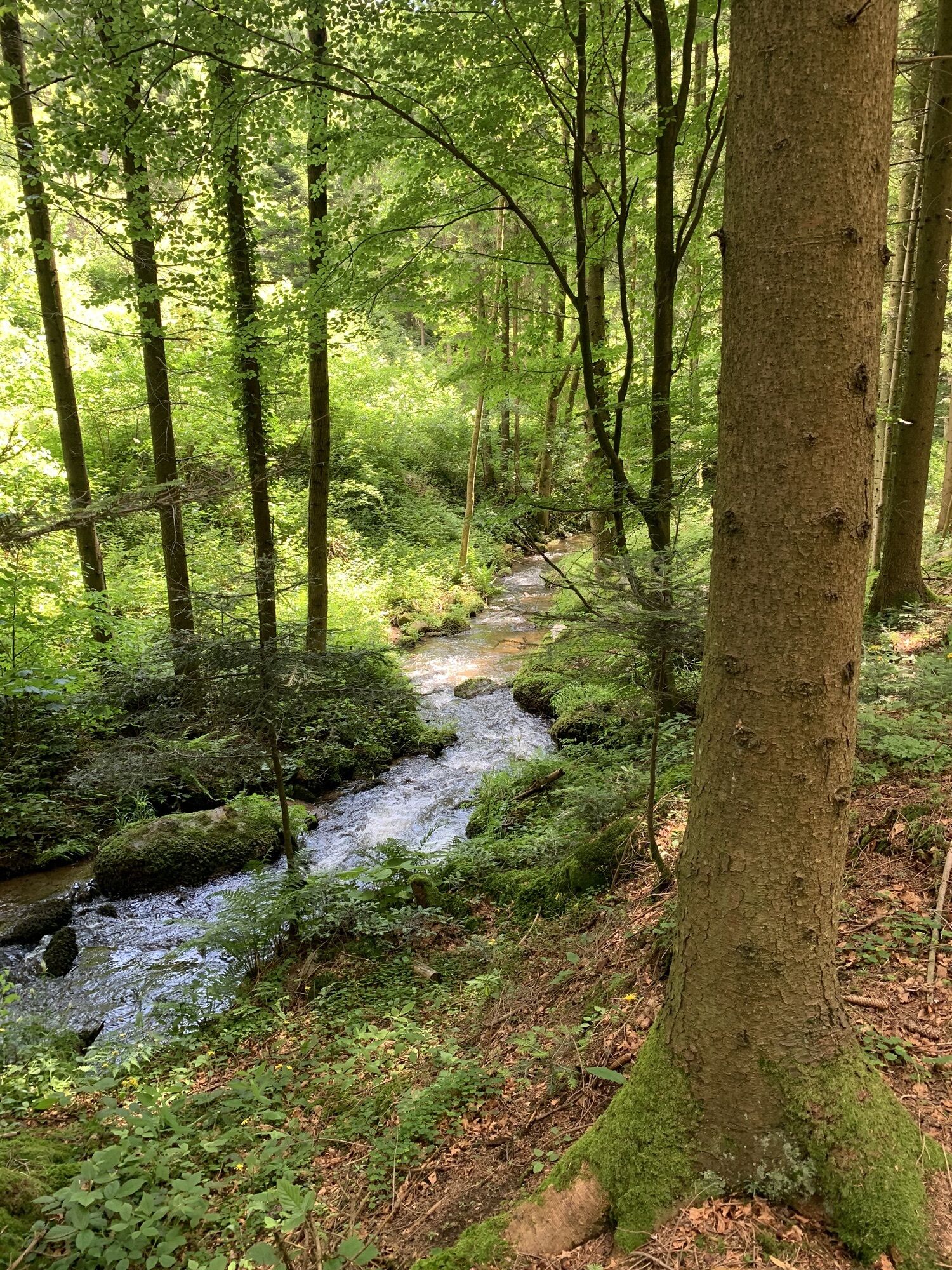
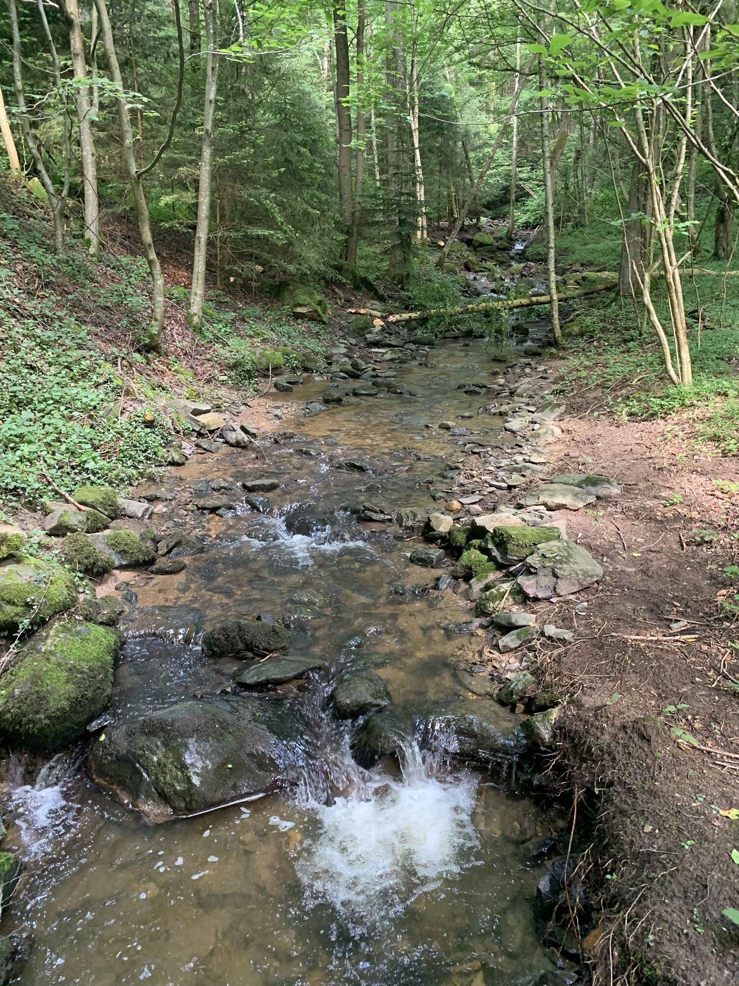
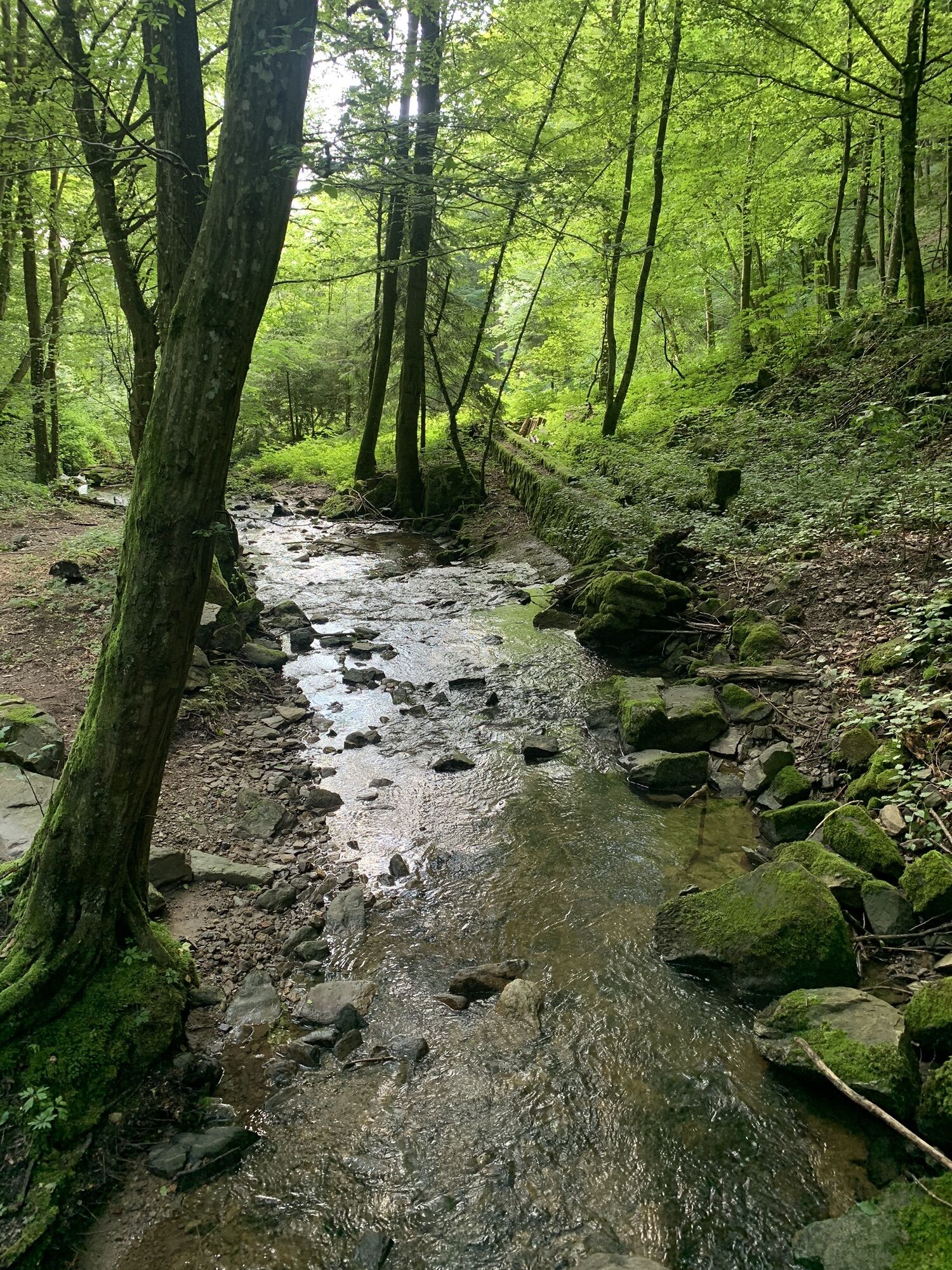
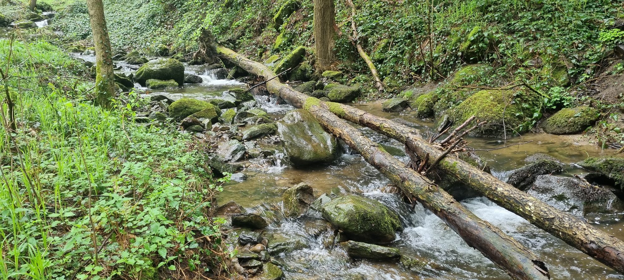
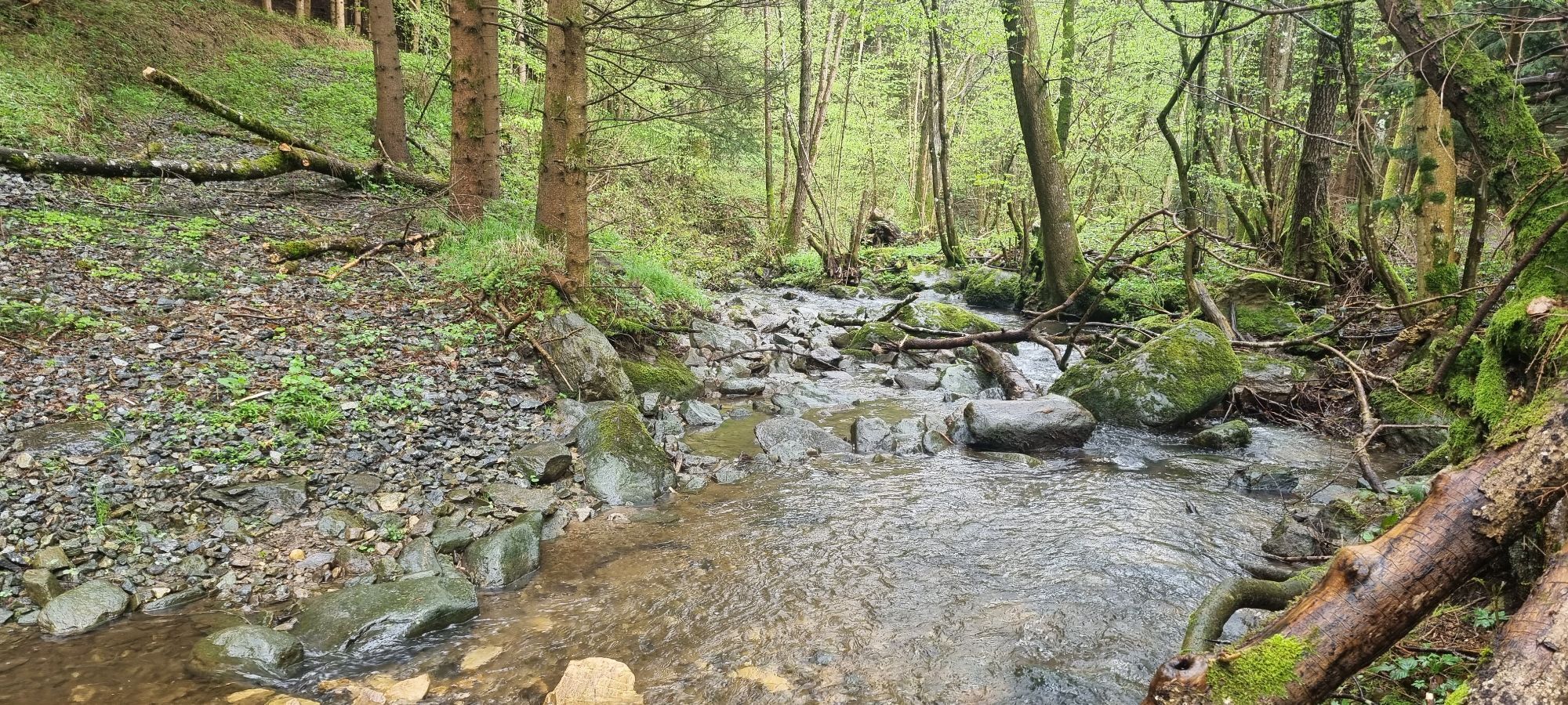
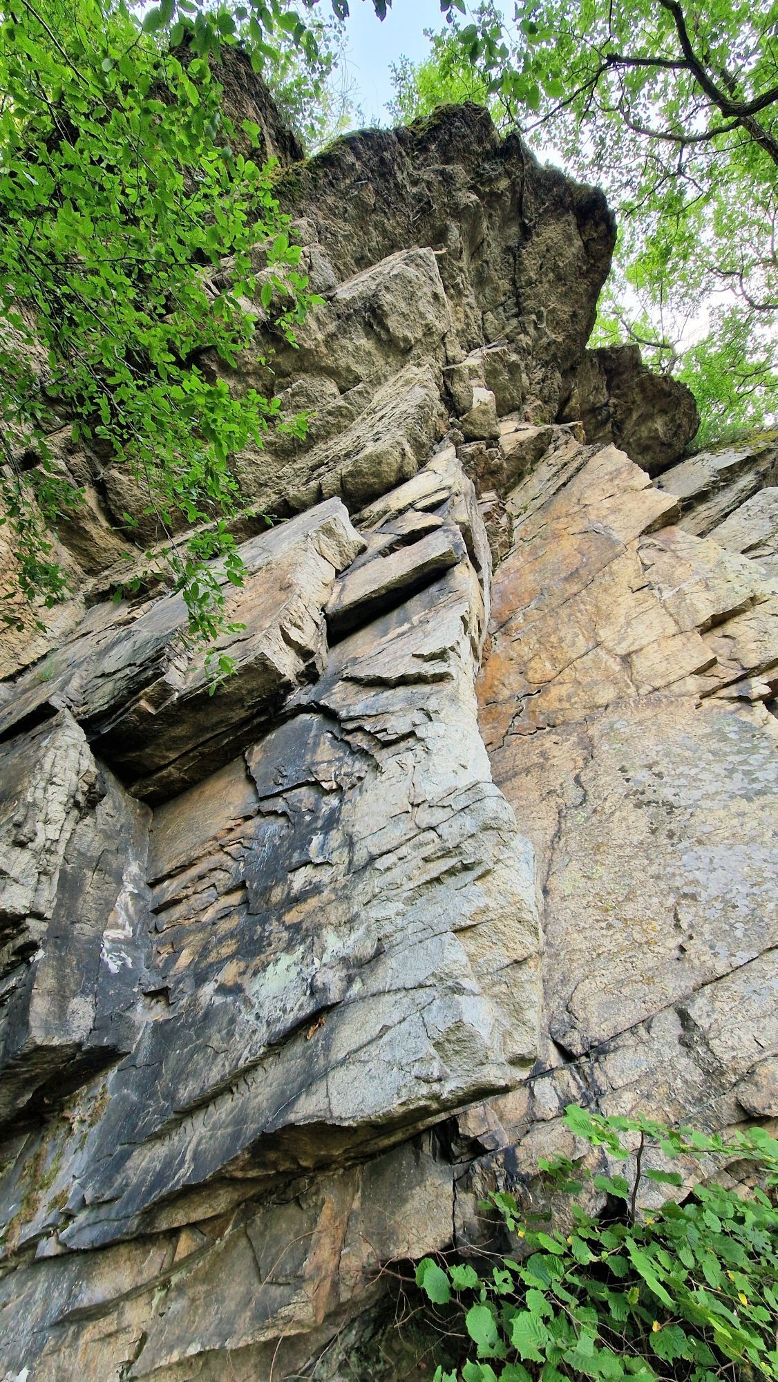
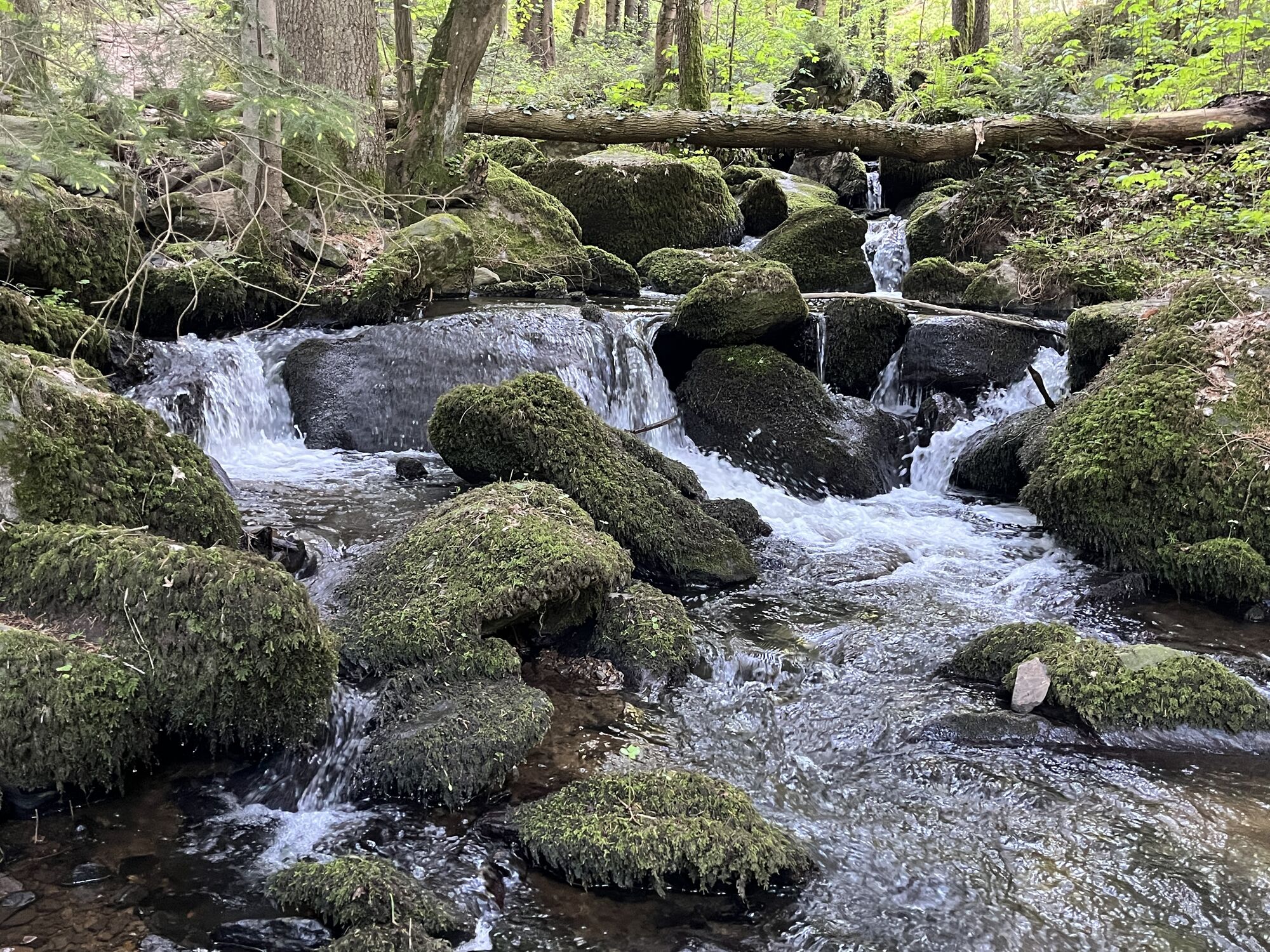
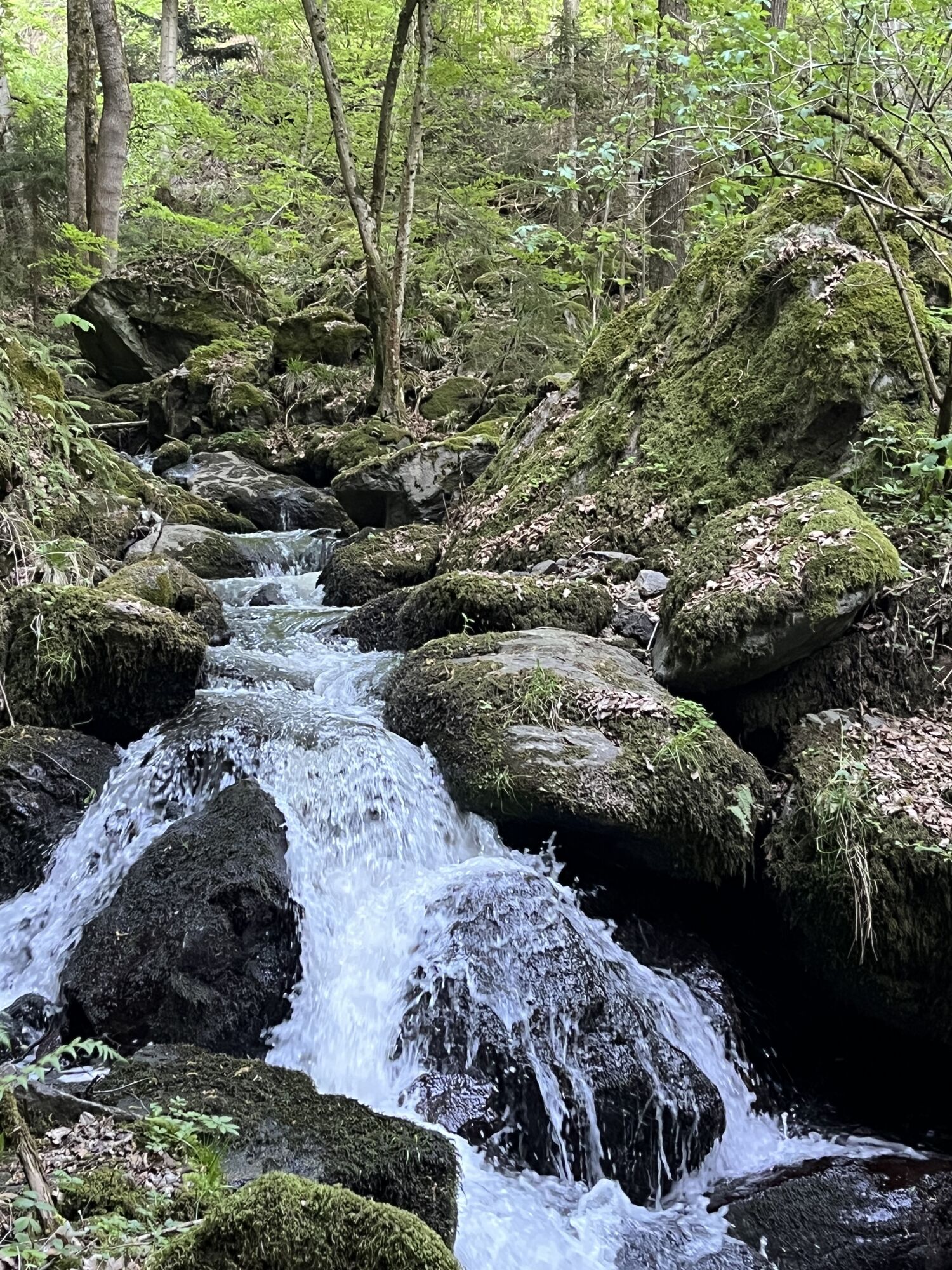
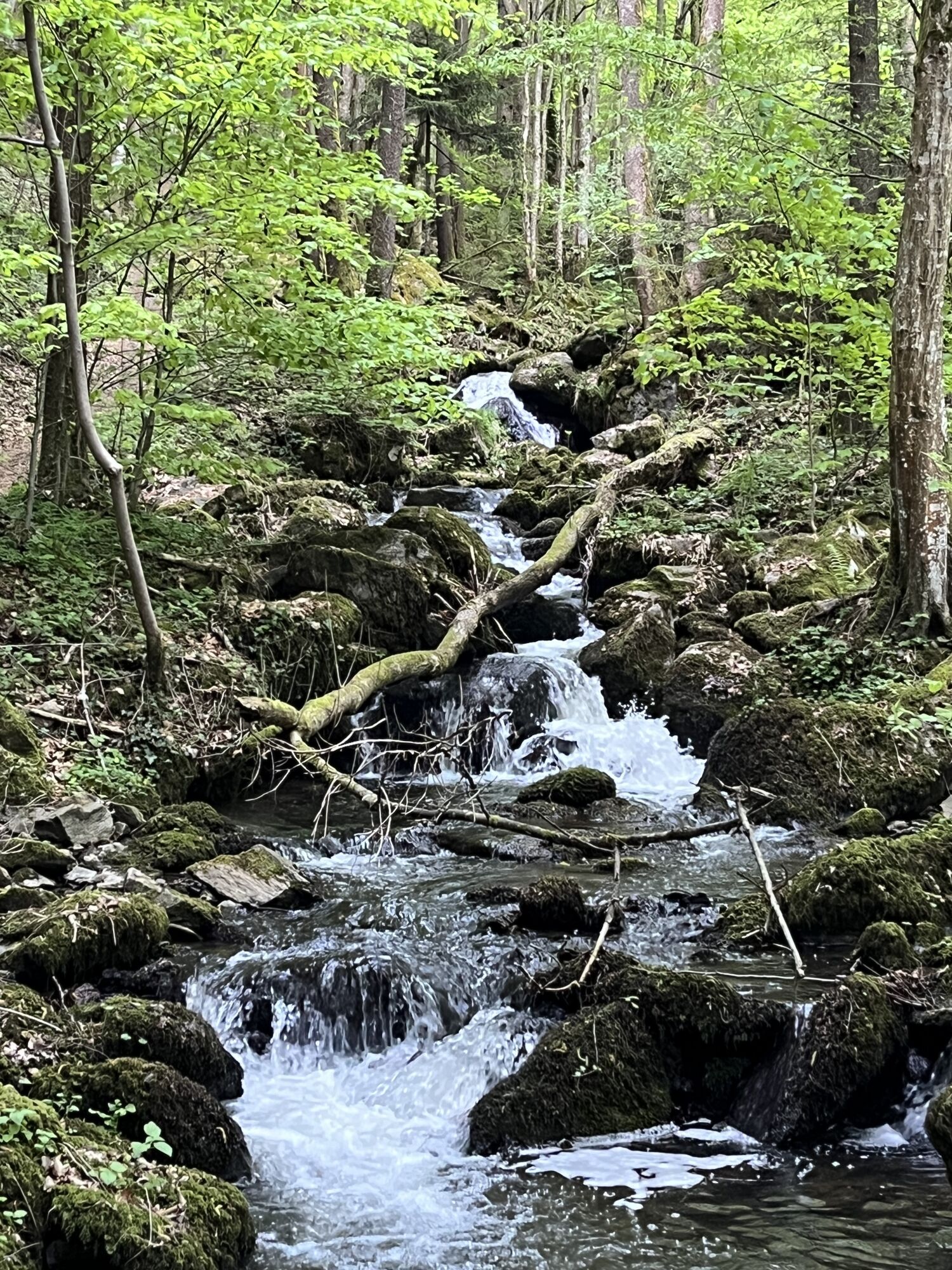
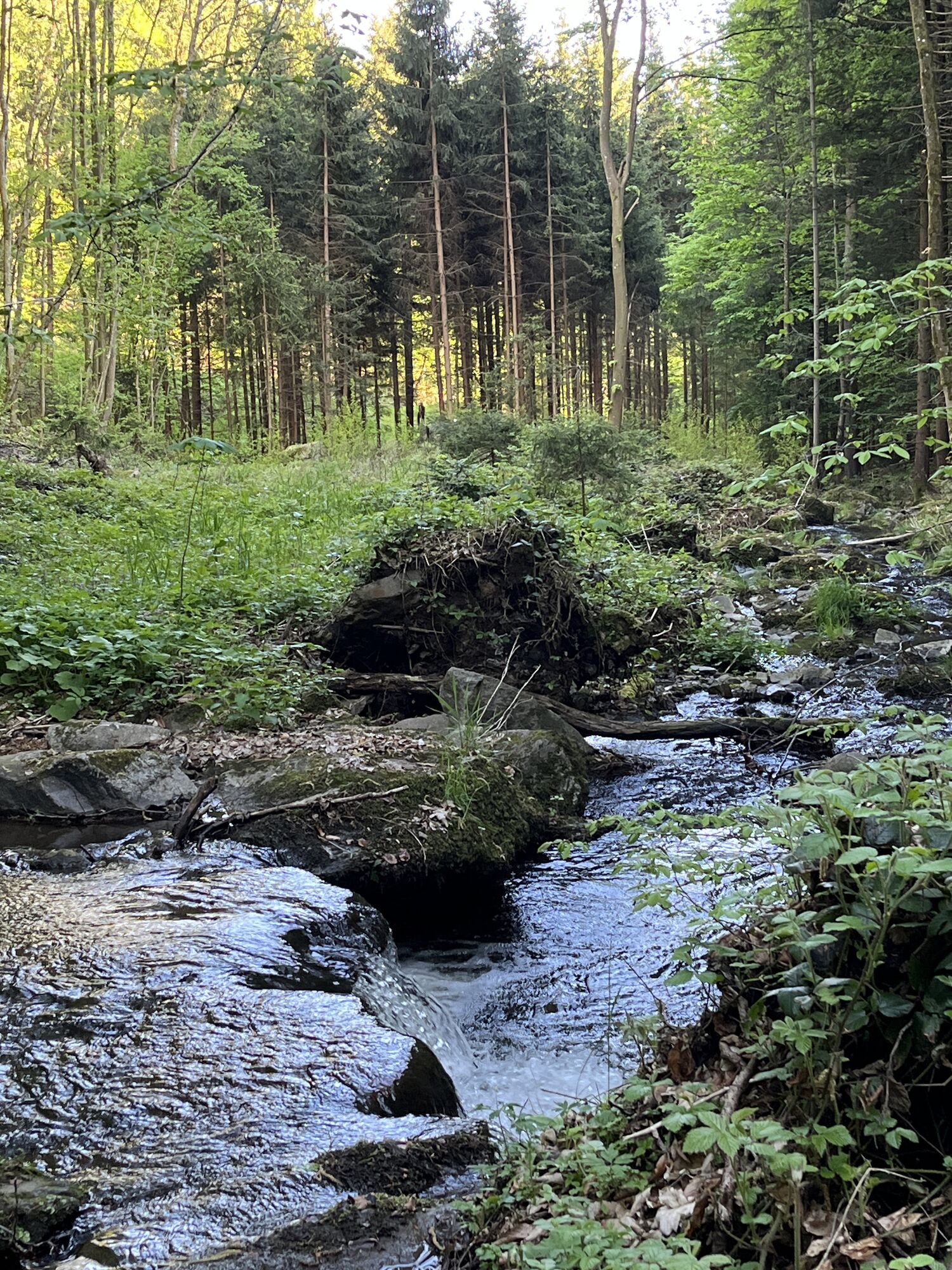
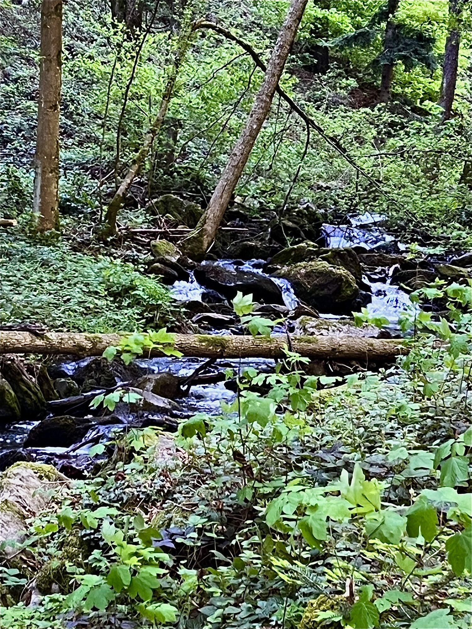
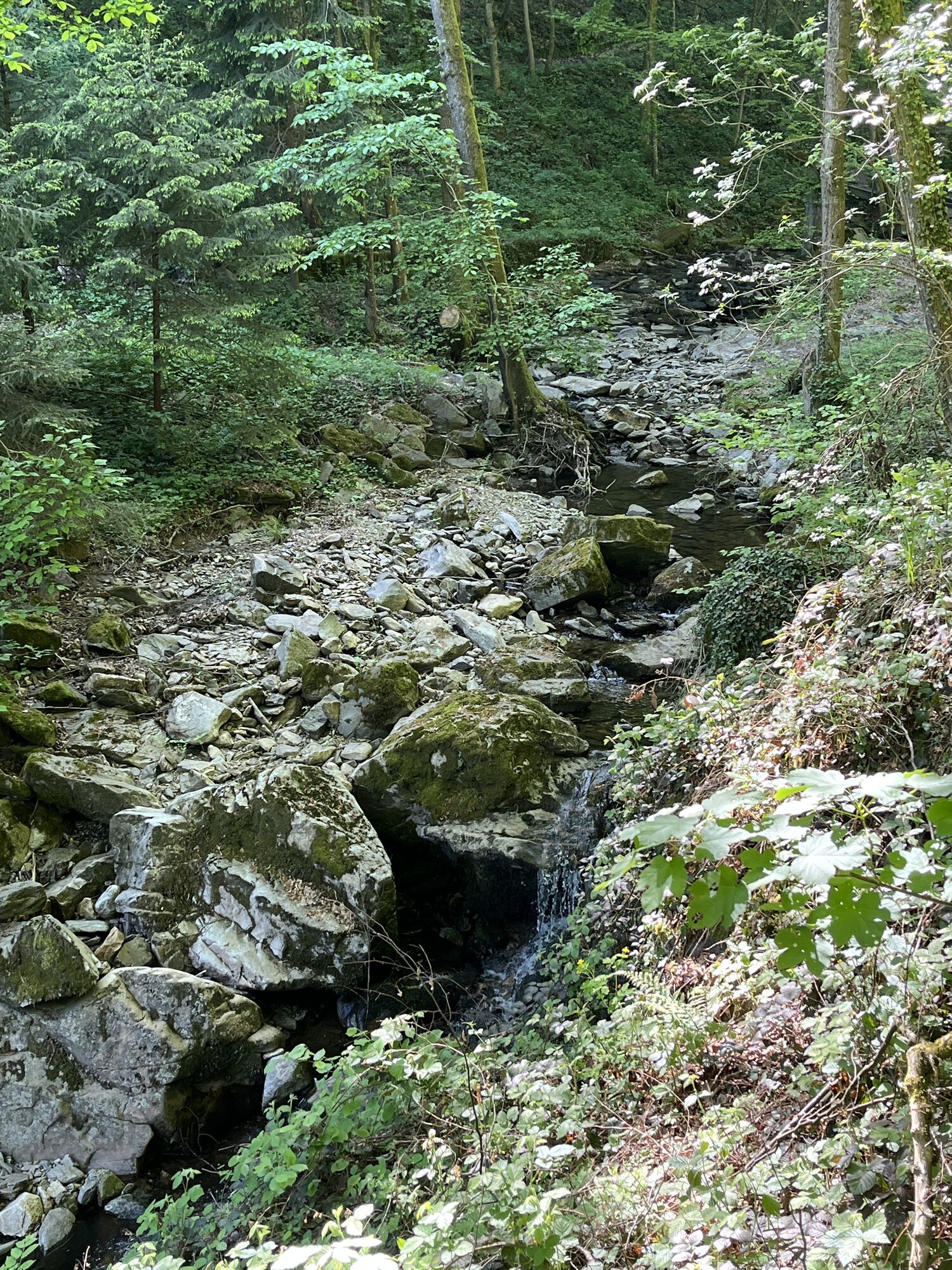
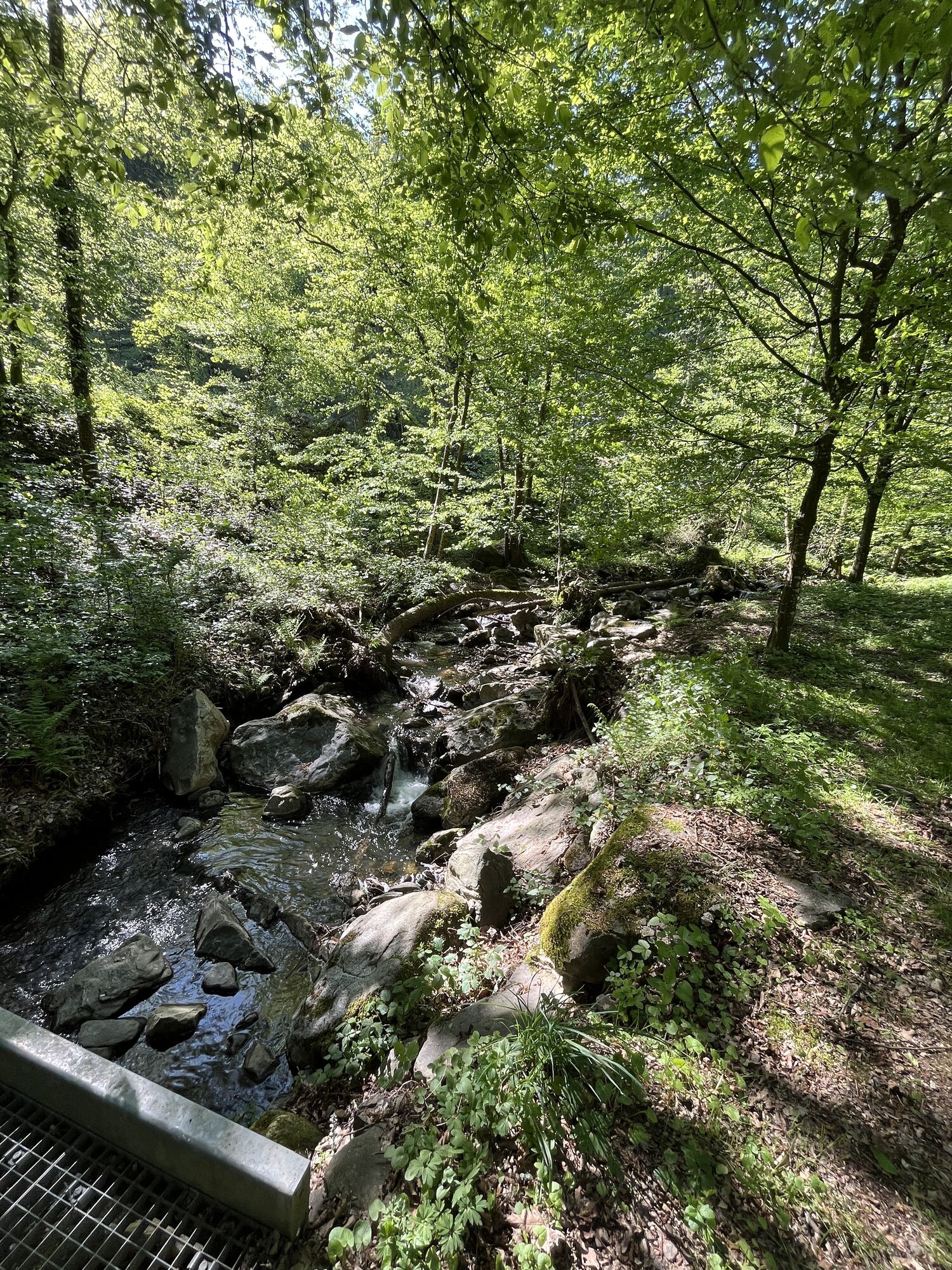
The stage begins at the panoramic sign near the boat landing in Marbach. Passing the Winklermühle, the trail leads uphill through the wintry Steinbach Gorge. Amid the dormant trees and the crisp winter air, you can enjoy the special stillness of nature. With a little luck, the rocks and the stream will be draped in an enchanting winter mantle. After the gorge, you can take a short break in nature or stop for a cozy meal at Gasthaus Gressl in Hilmanger.
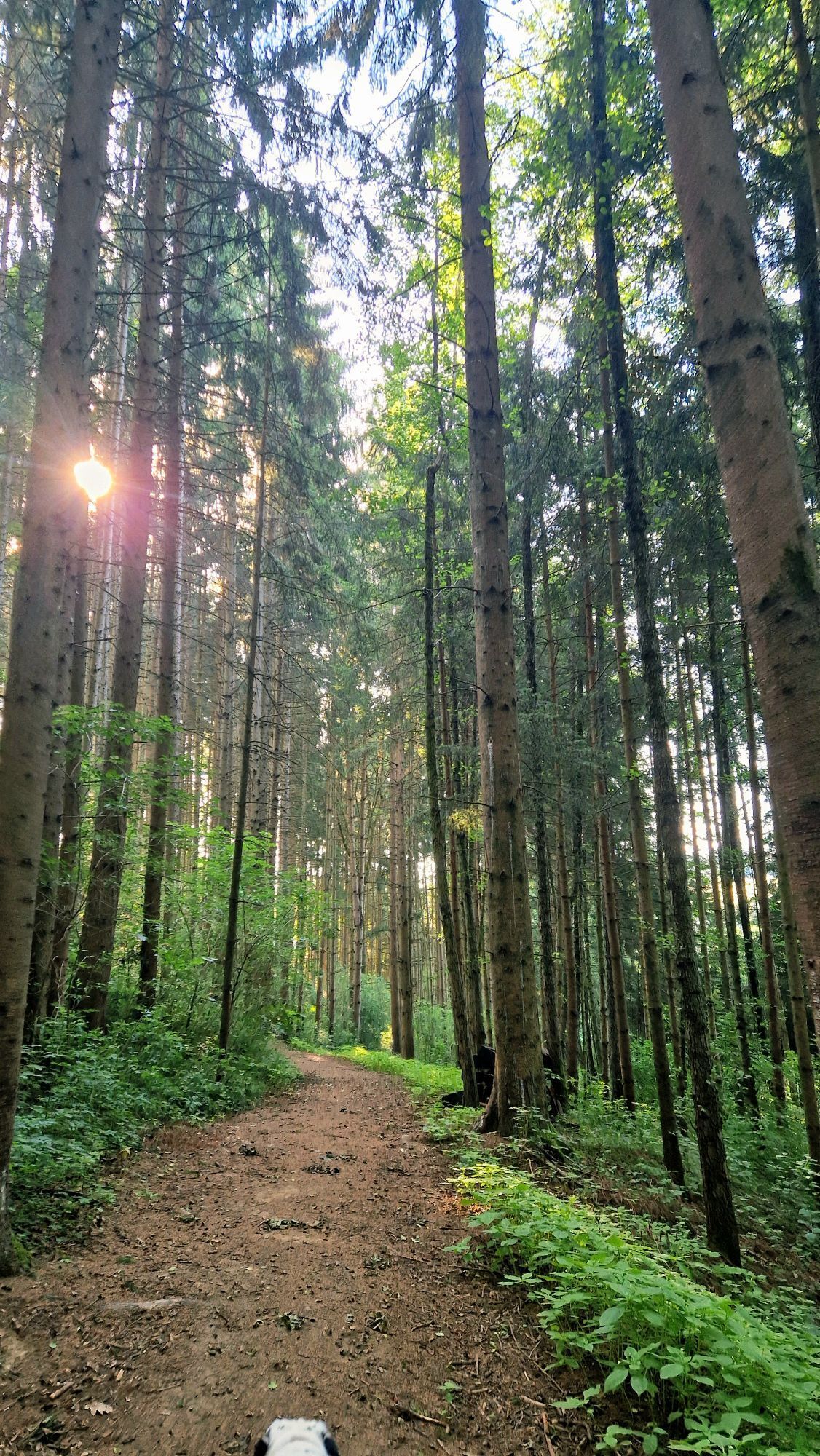
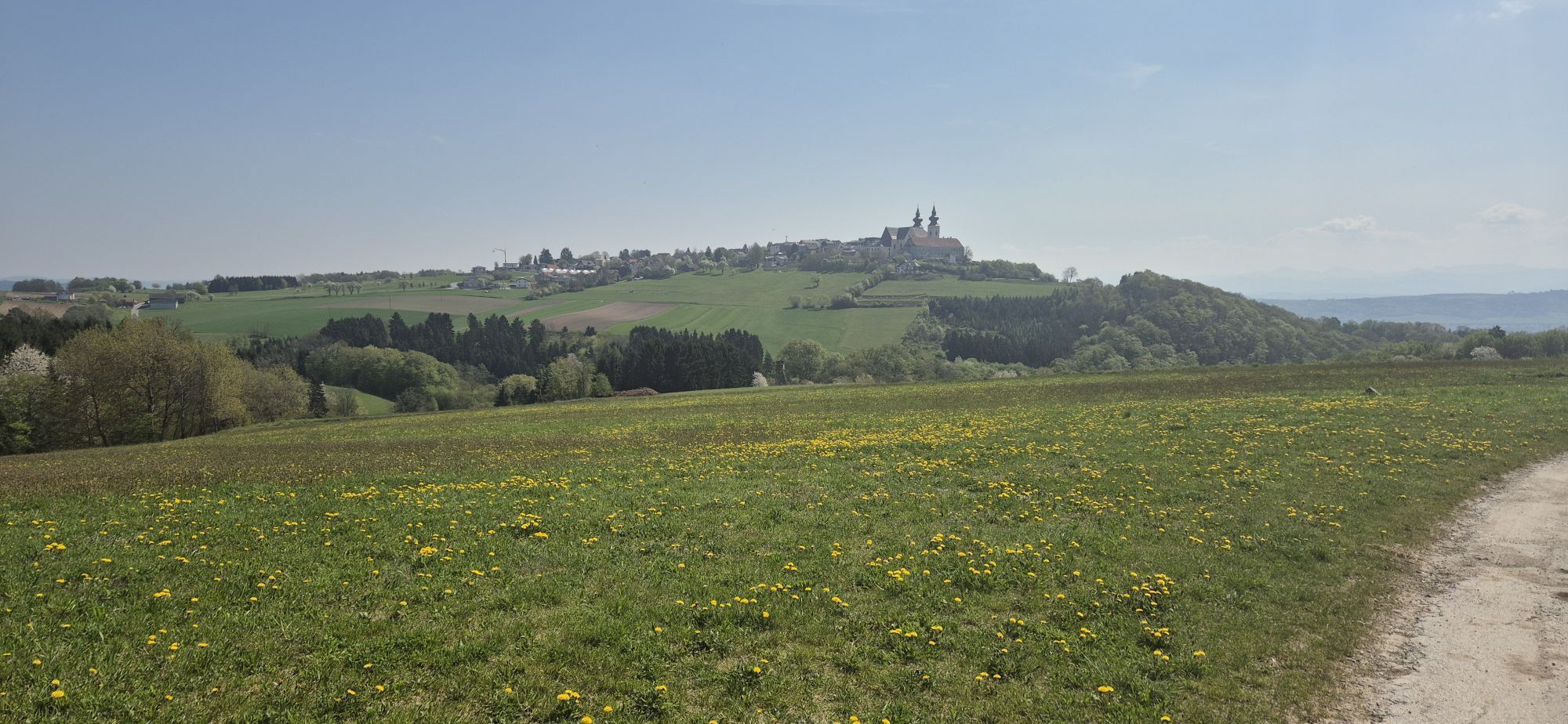
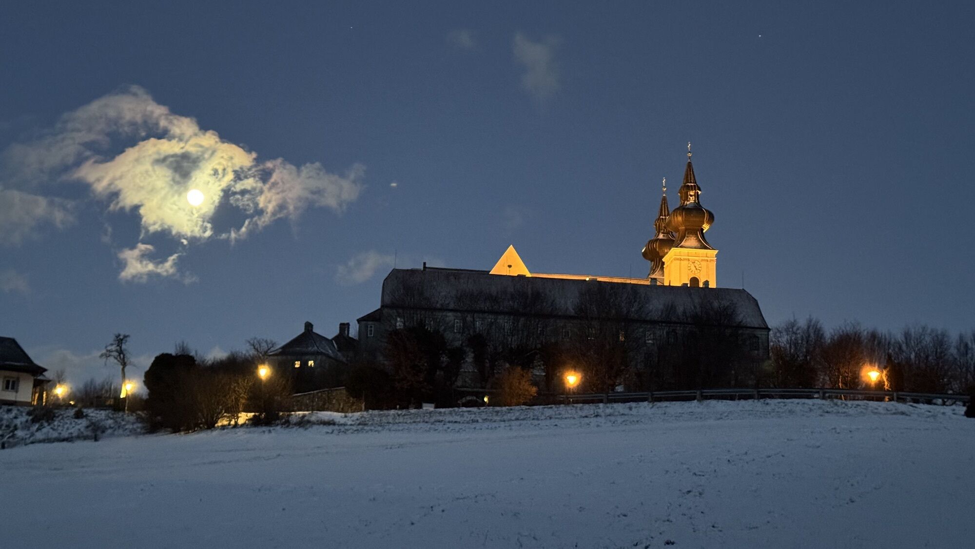
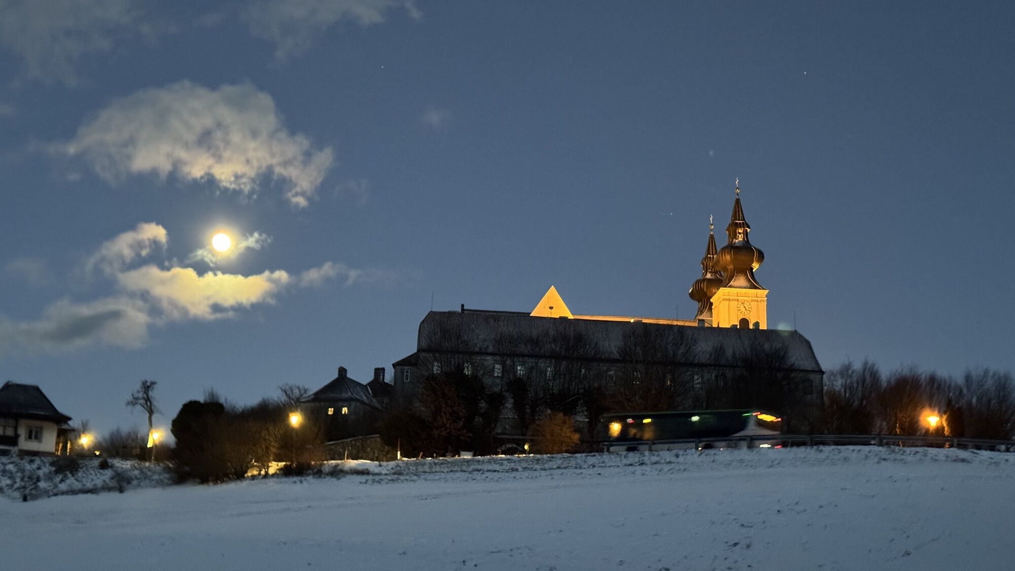
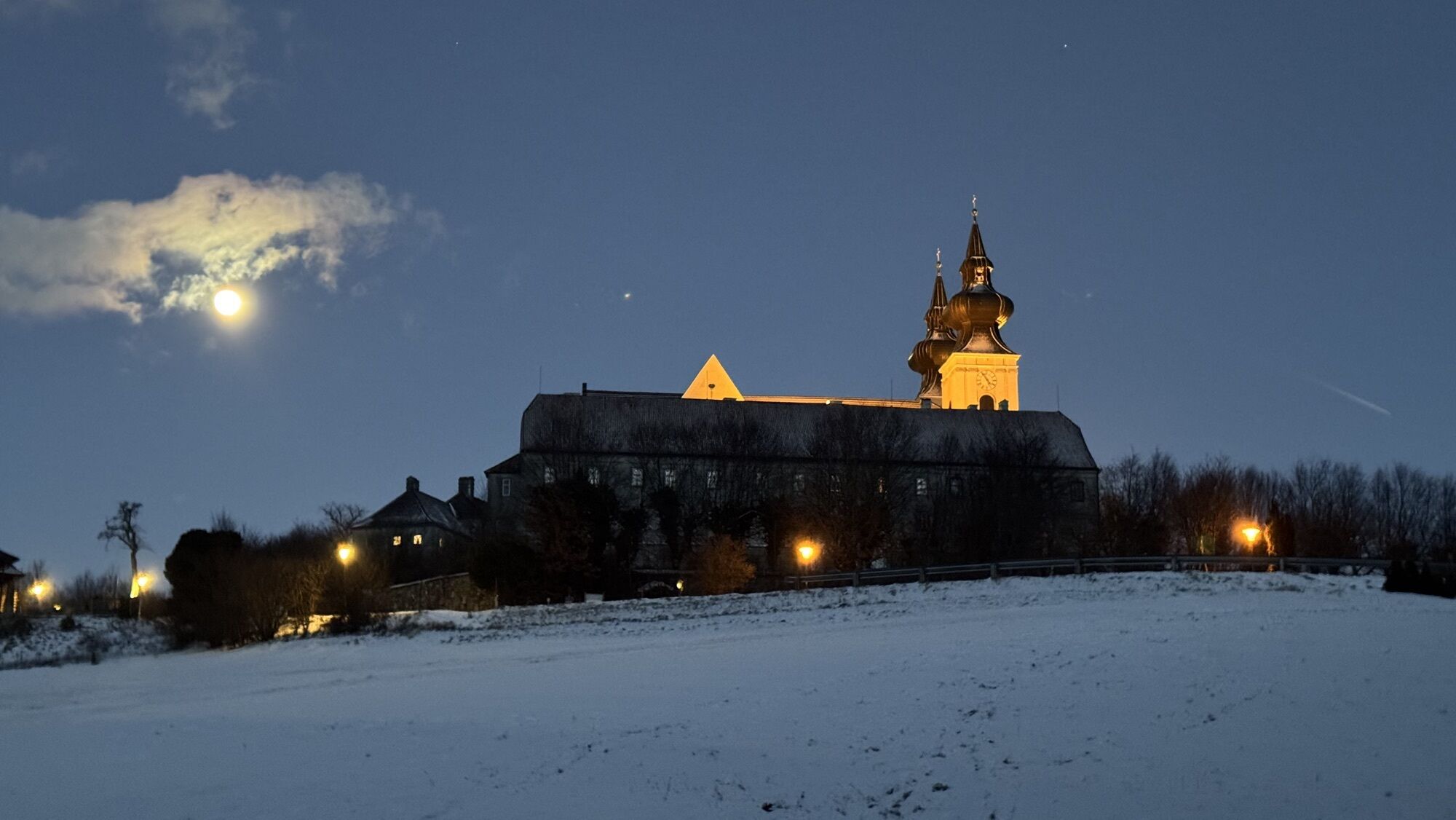
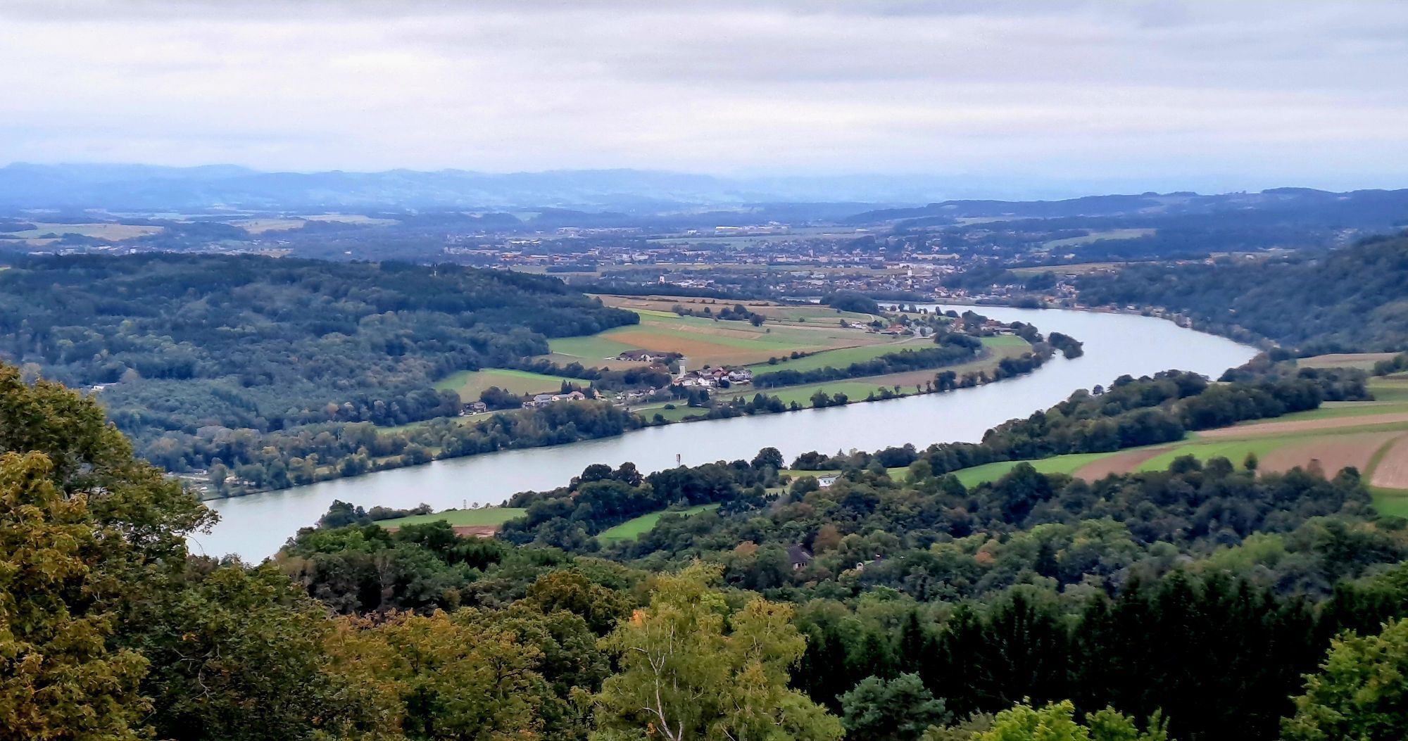
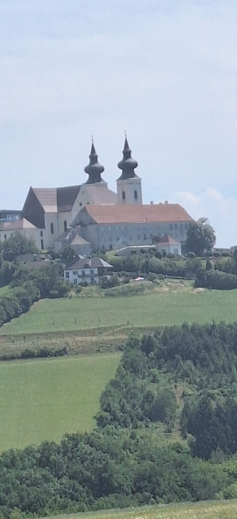
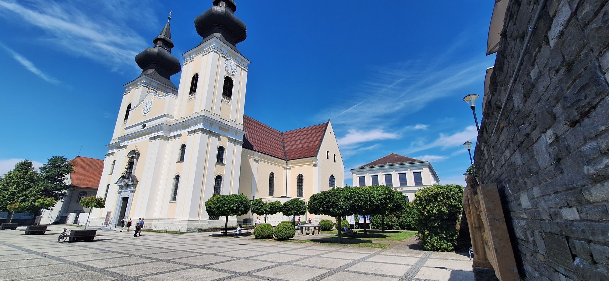
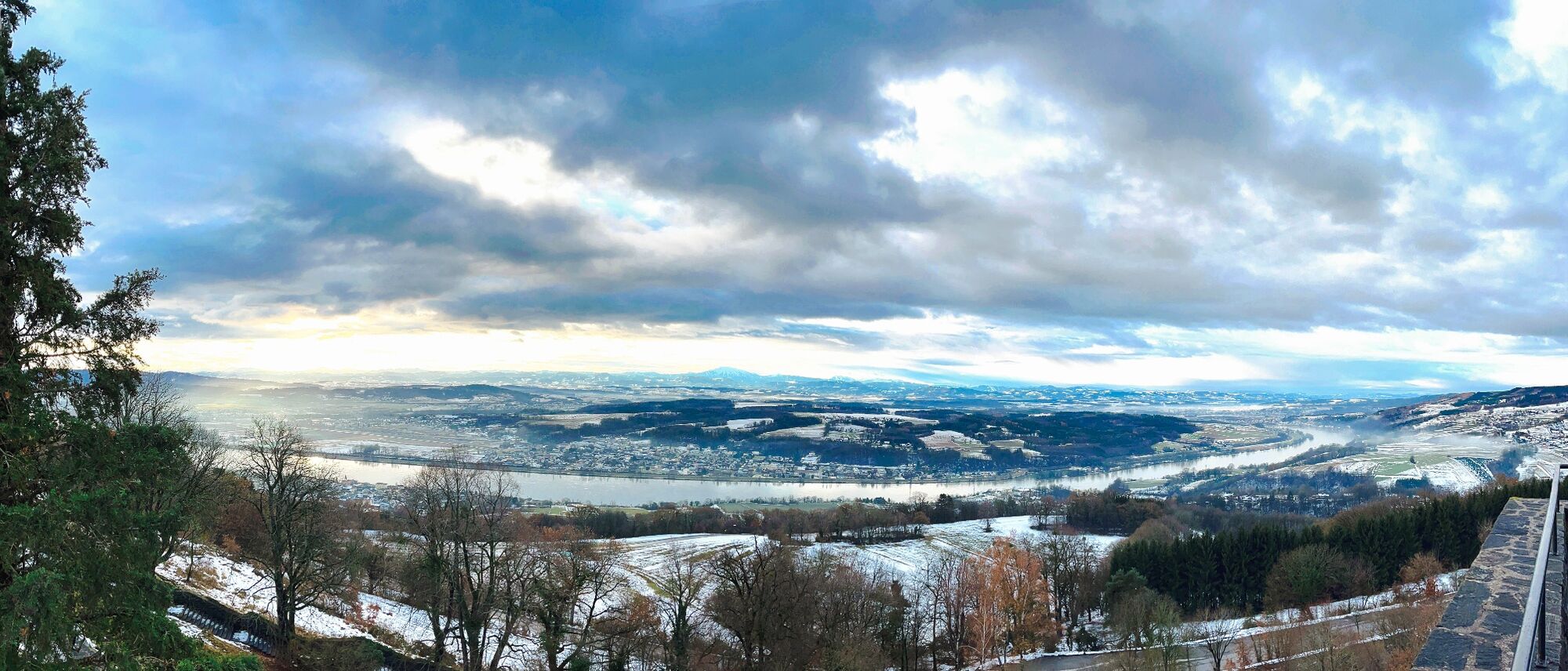
The route then heads downhill again, offering magnificent views of the wintry Danube Valley. The route continues past small villages and through quiet stretches of forest before the final, challenging climb up to Maria Taferl awaits. Once there, the trail passes by the impressive basilica before the stage ends at the panoramic sign at the town entrance.
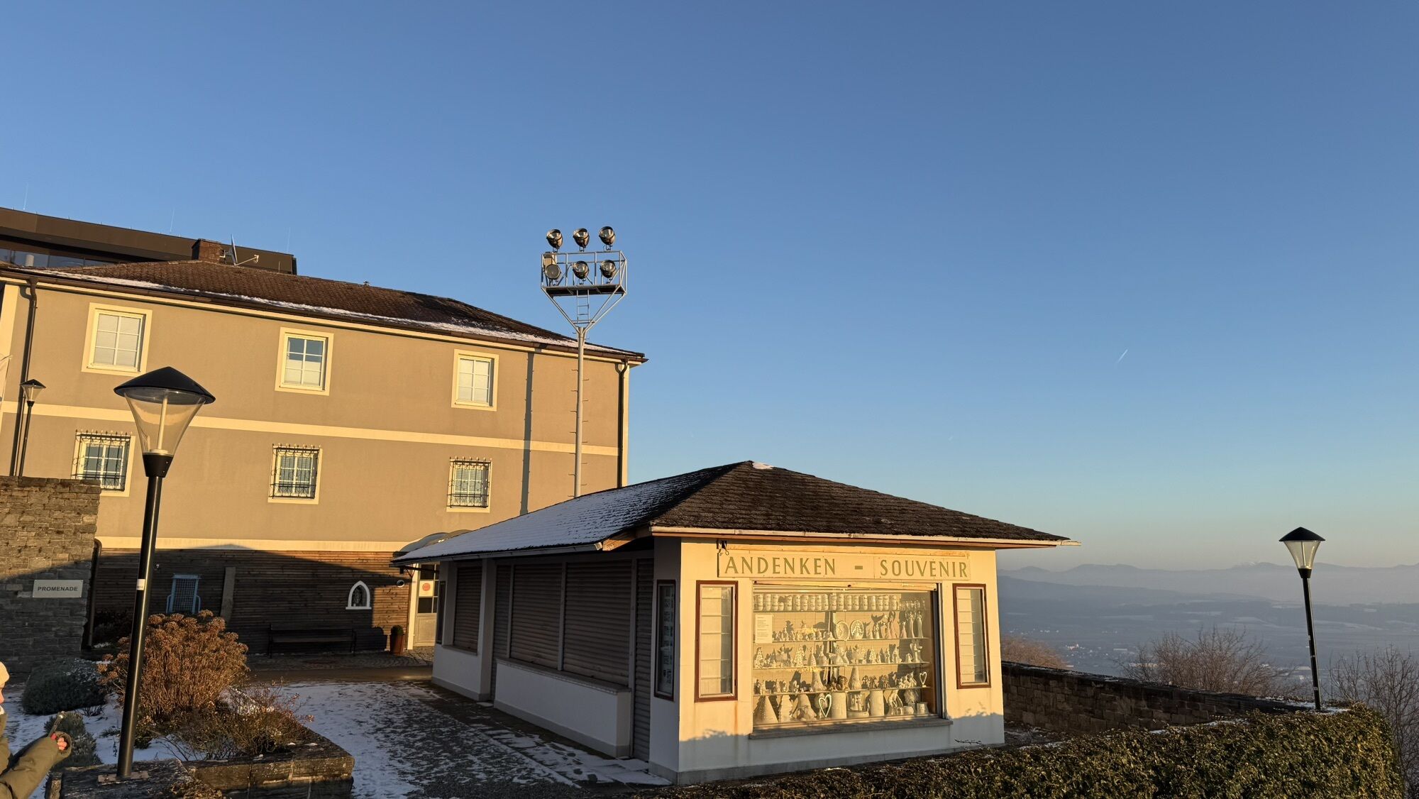
Perched high above the Danube Valley, Maria Taferl captivates visitors even in winter with a unique panoramic view of the landscape and—on a clear day—of the entire Alpine range from the Schneeberg to the Traunstein. As Lower Austria’s most important pilgrimage site, the town provides an atmospheric conclusion to this winter hiking stage.
Please observe the following tips and instructions:
Stay on the marked paths Wear mountain/hiking boots Use hiking poles Rainwear is always advisableBring the hiking map with youPlease do not leave your trash on the trailRespect the sensitive habitats of plant and animal life.We would like to point out that mountain biking and horse riding on the Nibelungengau long-distance trail are generally prohibited in the forest and on private forest roads. Use of the suggested routes is at your own risk and responsibility.
Marbach is accessible via the A1 West Motorway, Pöchlarn exit. Take the first exit in the roundabout at the exit, after about 1 km turn left towards the Danube bridge. Cross the bridge, then keep left on Wachauerstraße (B3) to Marbach.
From Krems or Grein, follow Wachauerstraße (B3) to Marbach.
We recommend traveling by car, as public transportation does not provide a seamless connection.
Parking is possible at the ship landing stage in Marbach or in the town of Maria Taferl (including near the basilica).
For easy and convenient route planning, the Wachau-Nibelungengau-Kremstal app is recommended. Simply download it for Android or iPhone.
Enjoy the wonderful peace and untouched nature in the Steinbach Gorge. In Maria Taferl, beautiful views of the Danube region and the Nibelungengau await you.
The Nibelungengau long-distance hiking trail is signposted and walkable in both directions.
Parcours populaires à proximité
- 4,0
Yspertal: Druidenweg - Ysperklamm
moyenRandonnée 9,56 km - 4,7
Waldhausen : circuit panoramique
moyenRandonnée 14,0 km - 4,6
Ausgedehnte Peilsteinrunde
moyenRandonnée 13,7 km - 4,9
LAIMBACH Ostrong Peilstein 20220716
moyenRandonnée 7,70 km - 4,5
Durch die Steinwandklamm von Maria Taferl aus
facileRandonnée 8,26 km - 4,6
Welterbesteig Wachau 08: Emmersdorf-Melk
facileChemin de Grande Randonnée 9,90 km - 4,6
Herzsteinweg Ysper und Burgsteinmauer
moyenRandonnée 14,7 km - 4,8
Ysperklamm
moyenRandonnée 8,74 km - 4,6
R1.15 Parcours des trois cols
moyenFaire du vélo 26,2 km - 3,8
Bärnkopf Ysperklammstrecke
difficileVTT 31,0 km
Randonnée et suivi


Ne manquez pas les offres et l'inspiration pour vos prochaines vacances
Votre adresse électronique a été ajouté à la liste de diffusion.





