







Wolfgang Church - Kernstockwarte

<p><br /> </p>

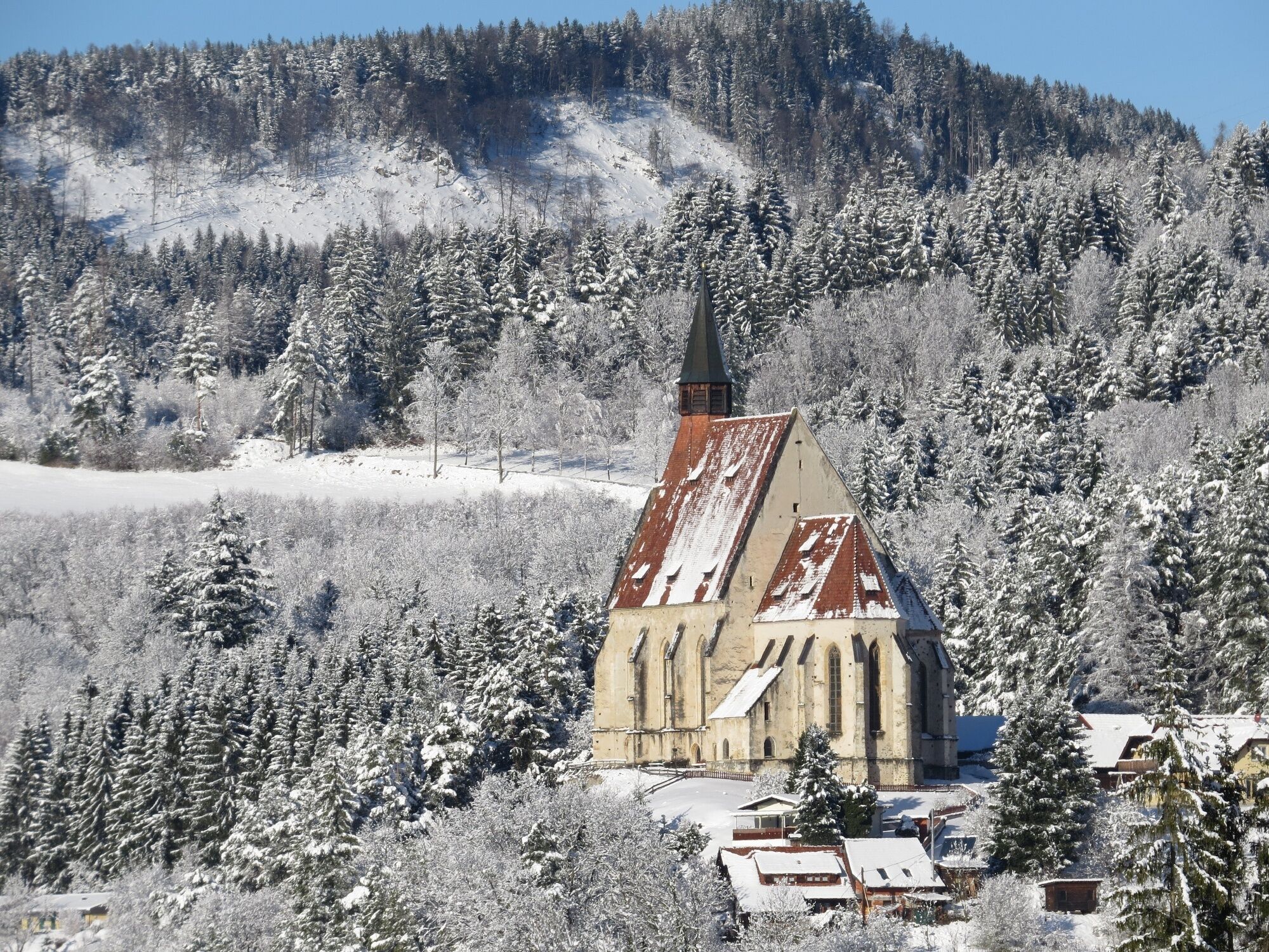

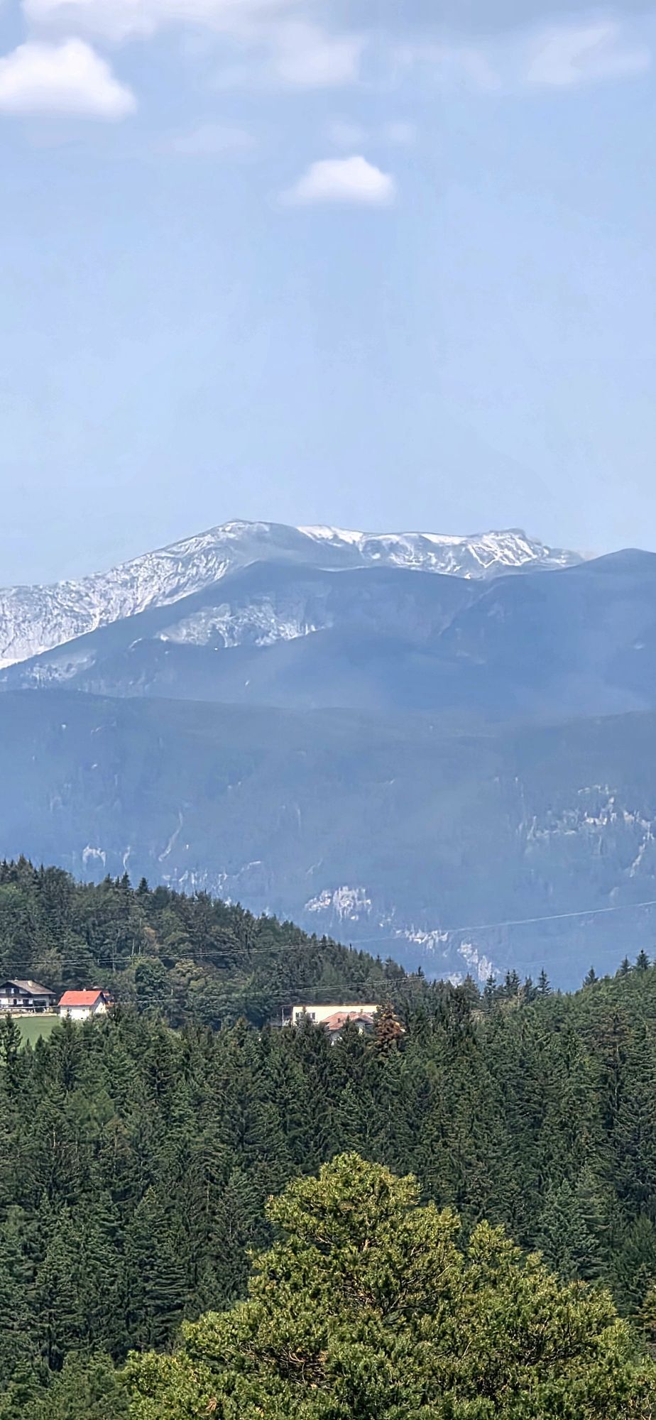
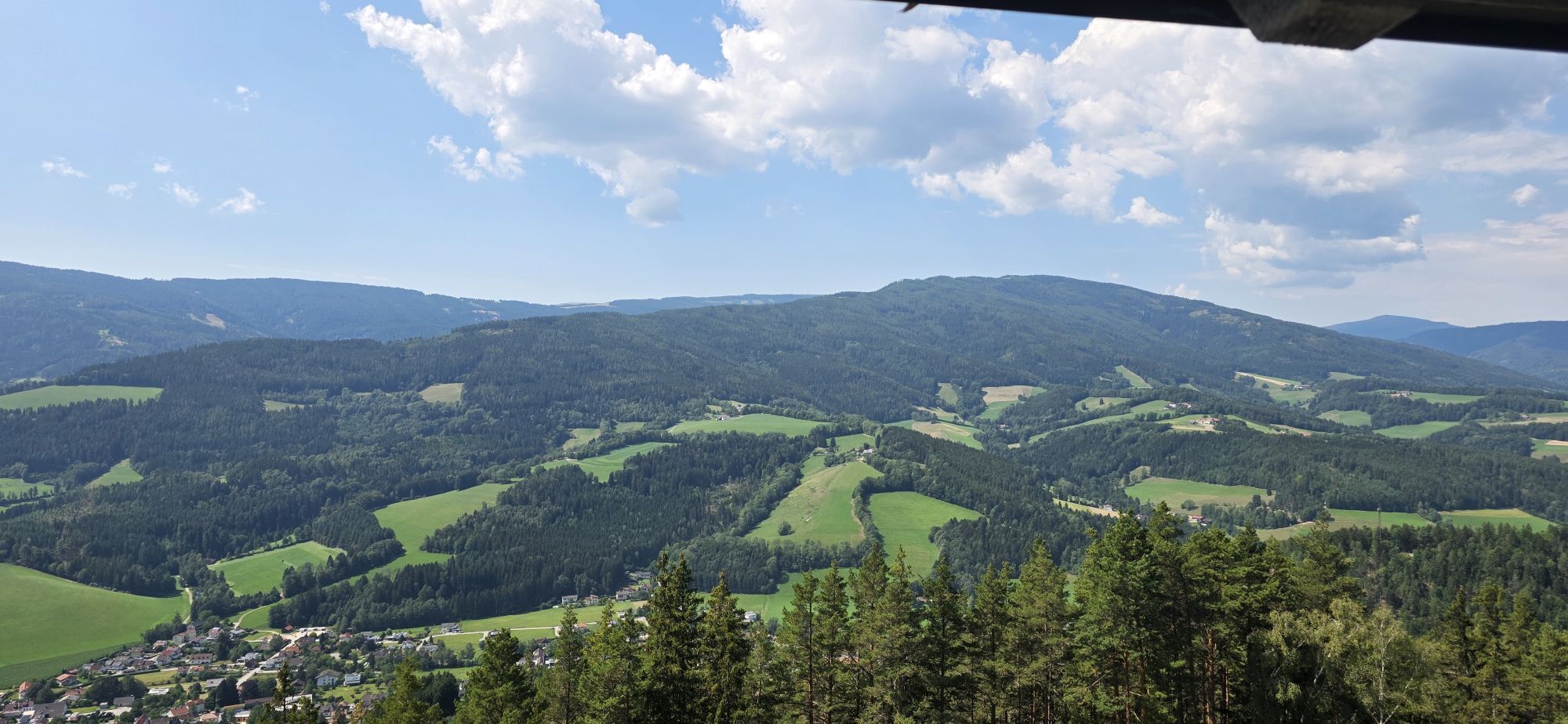
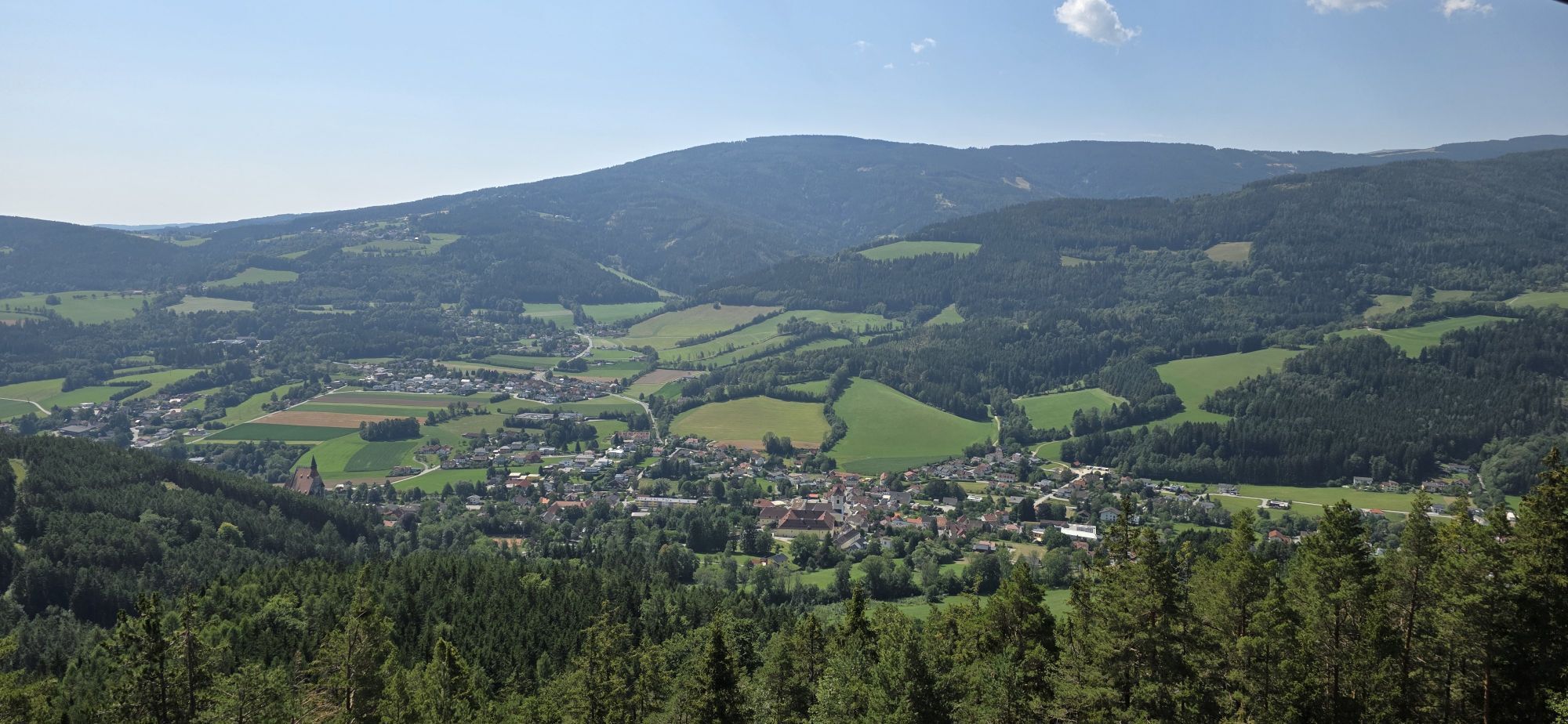
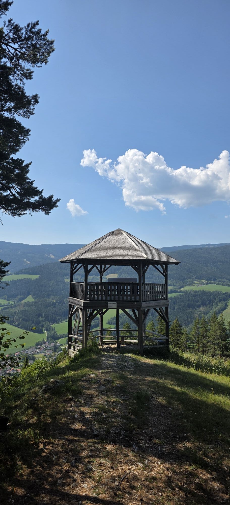
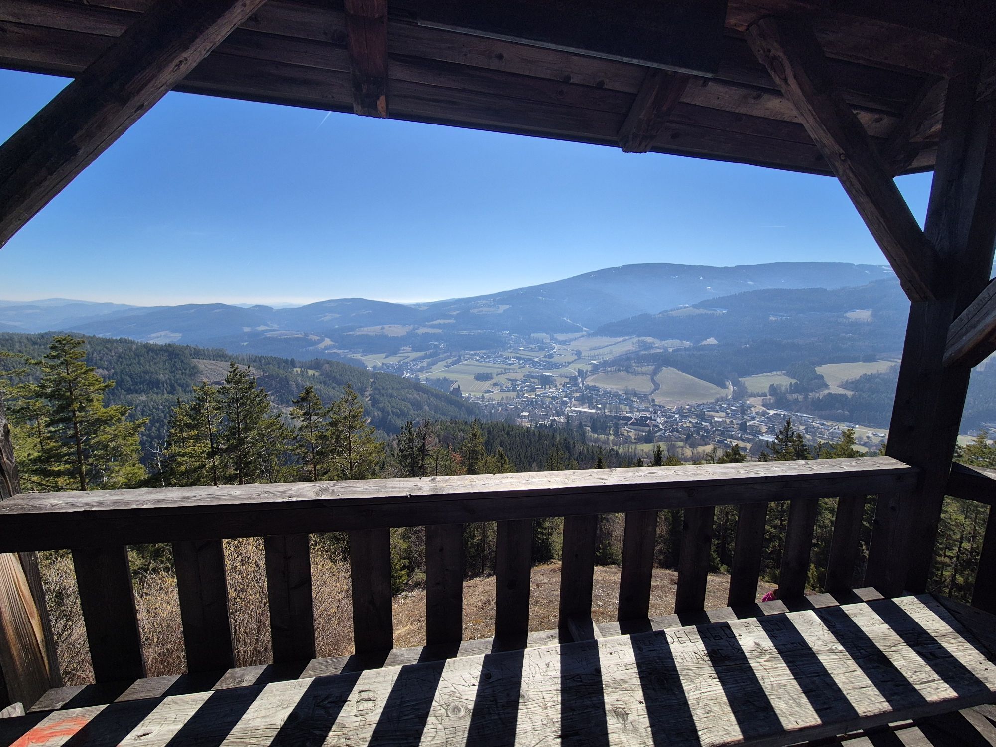
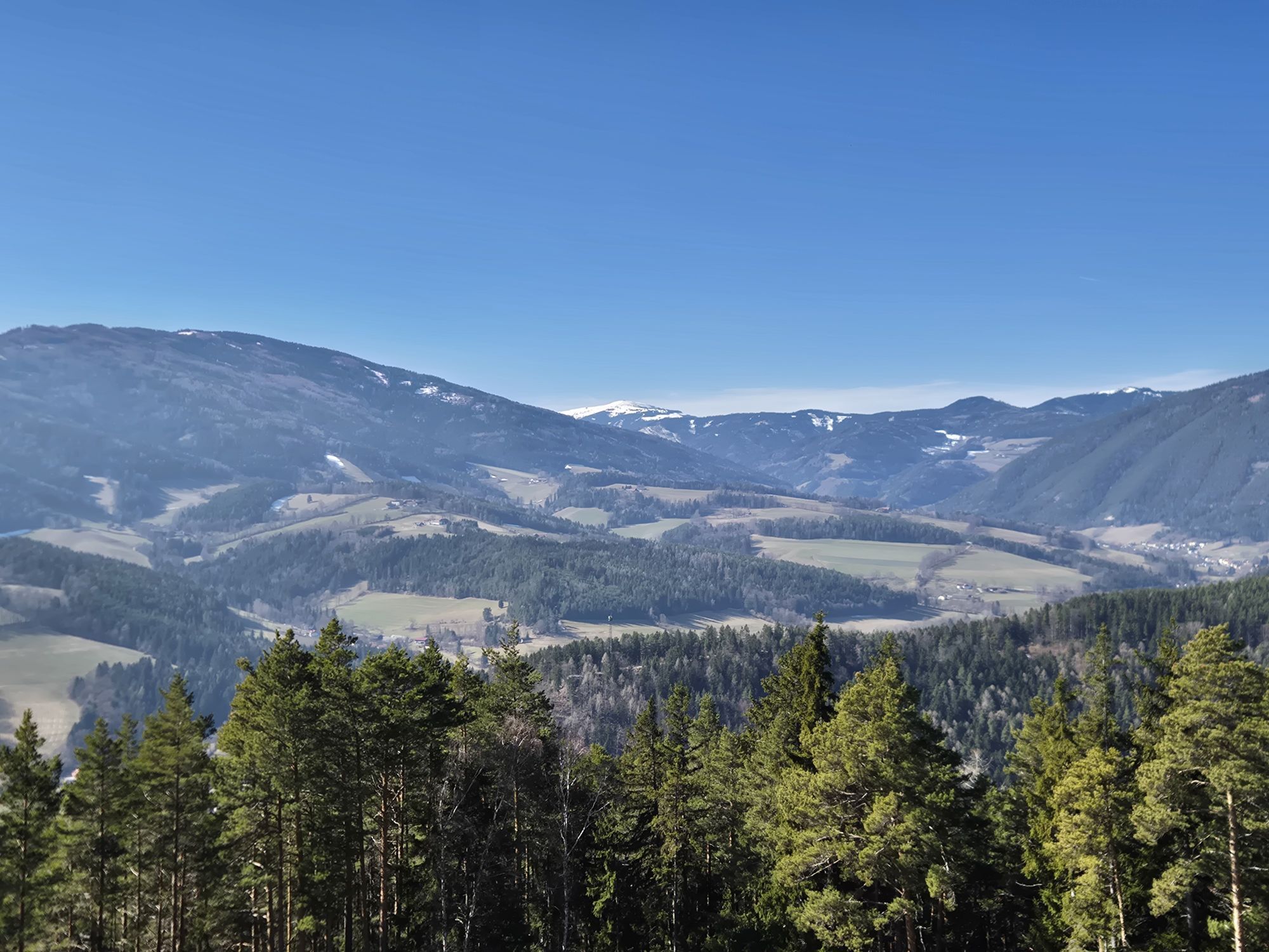
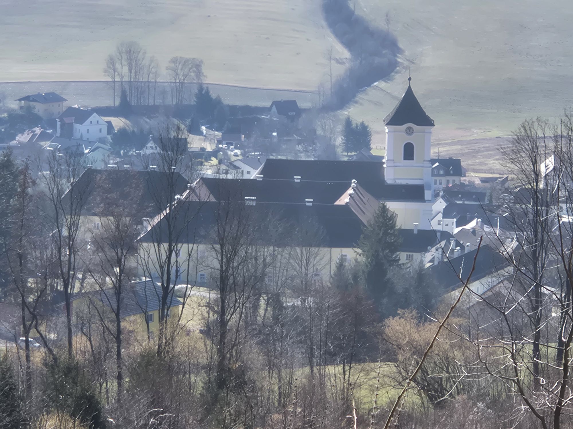
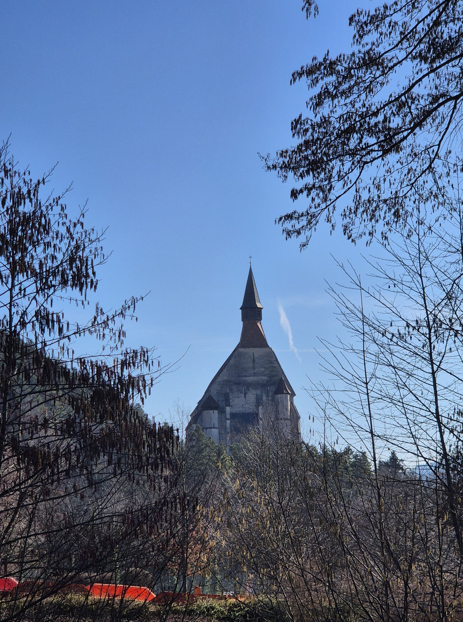
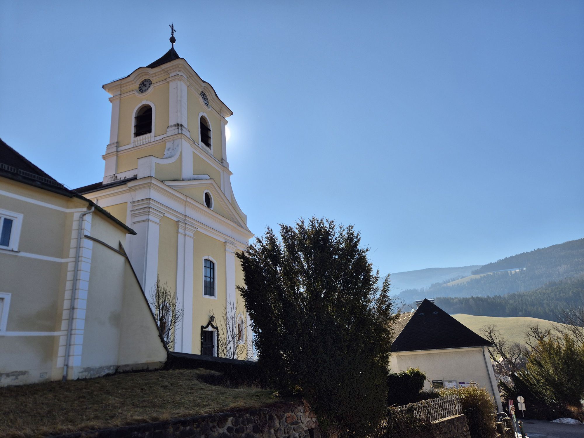
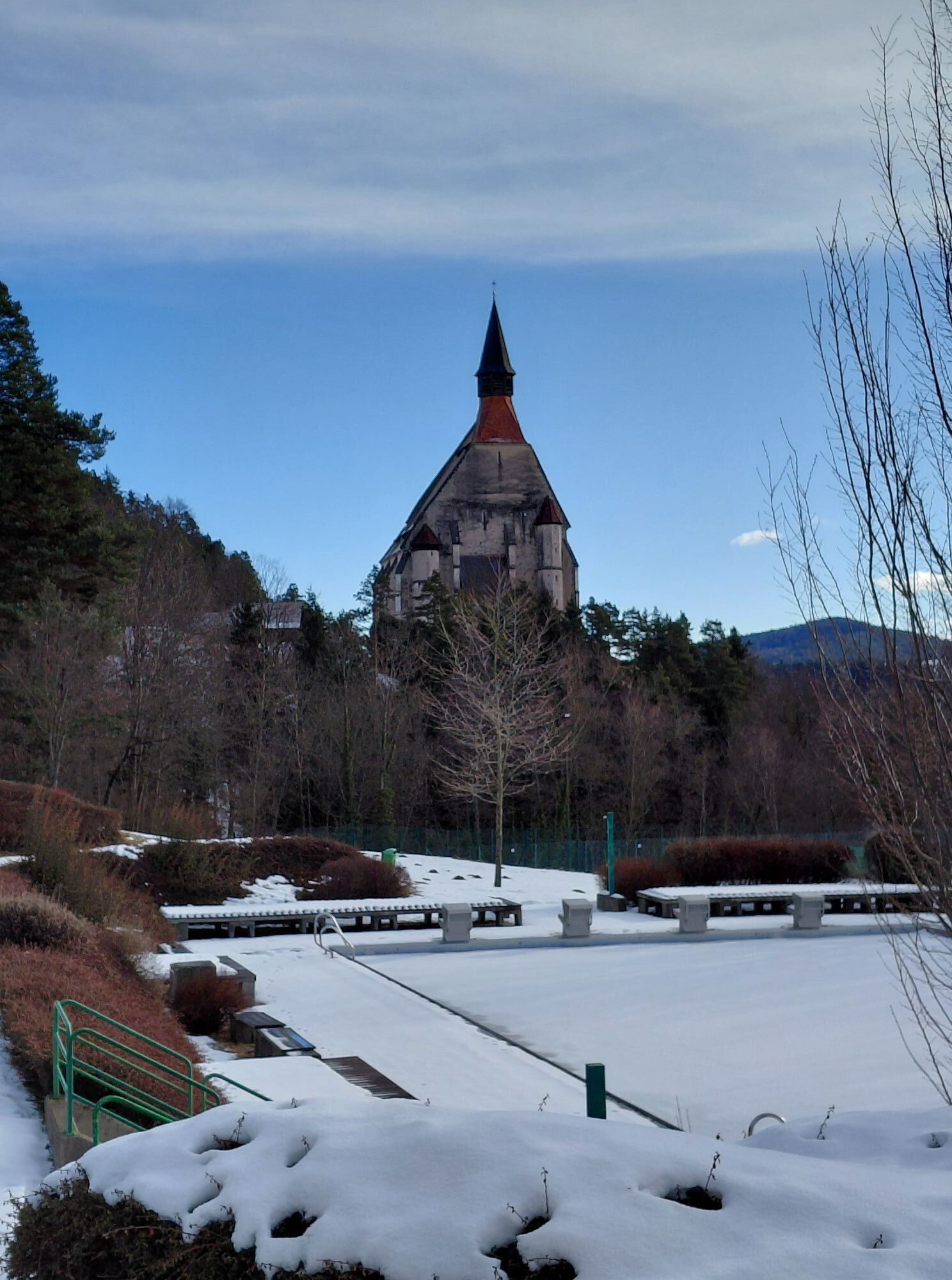
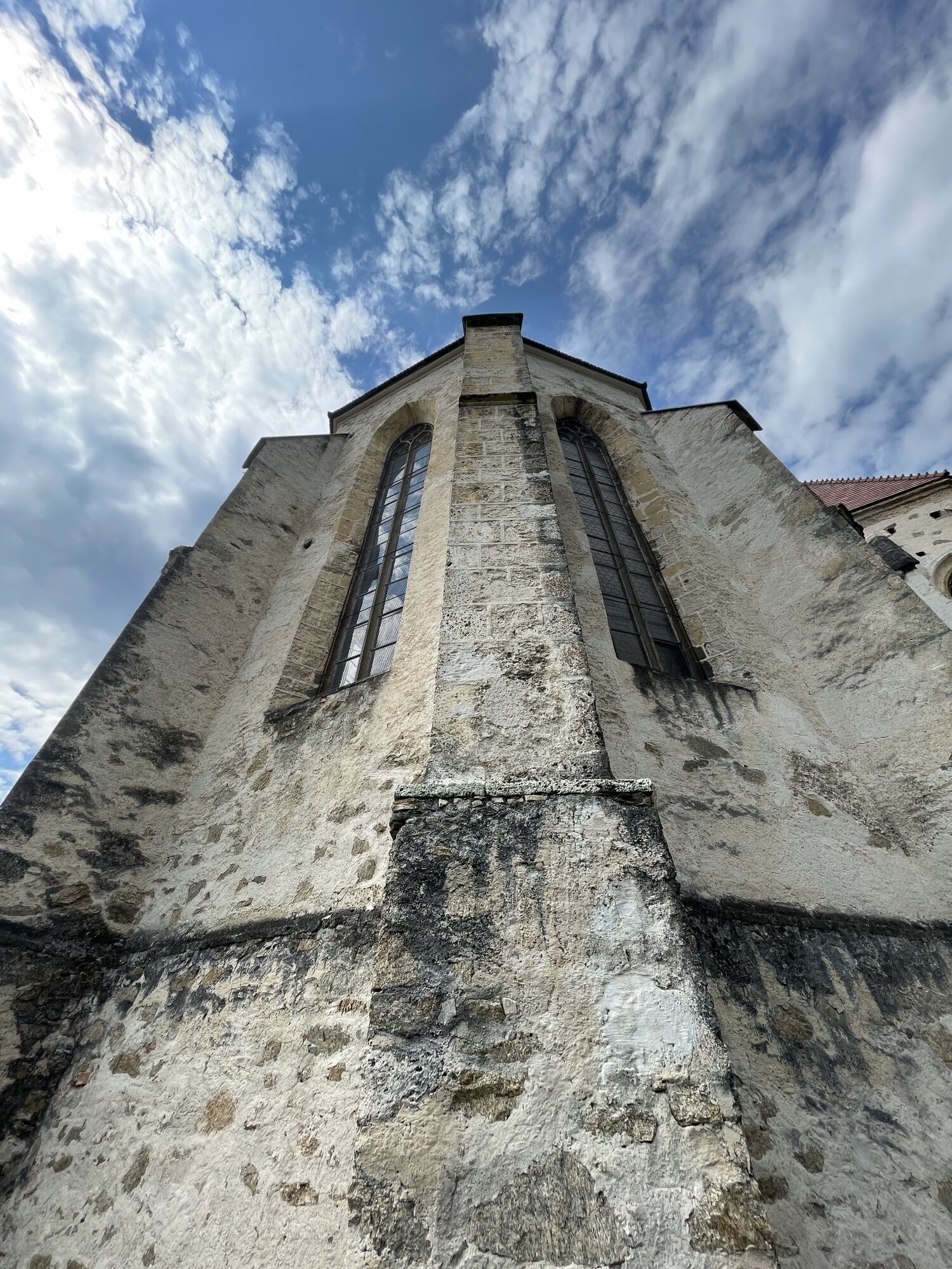
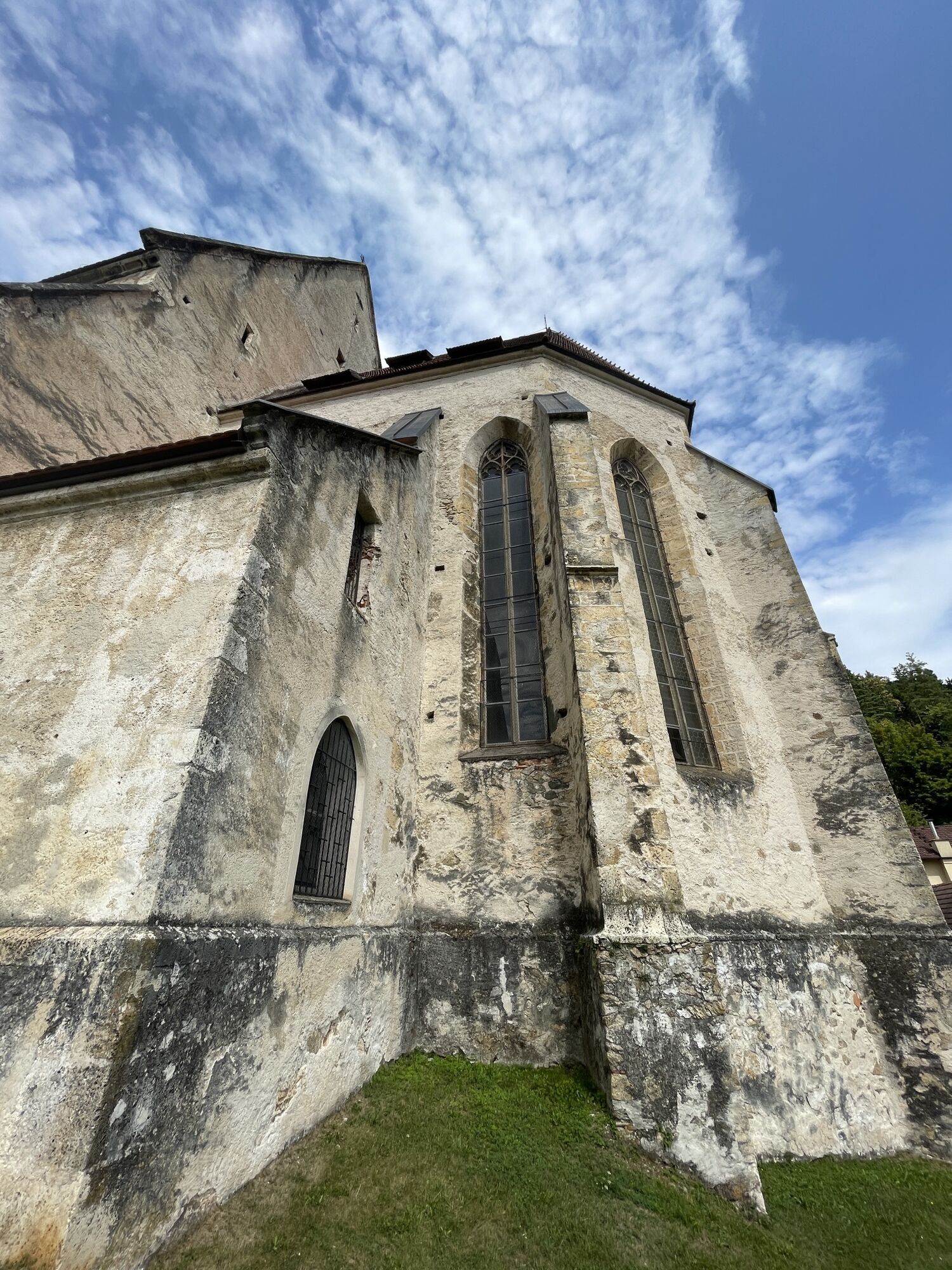
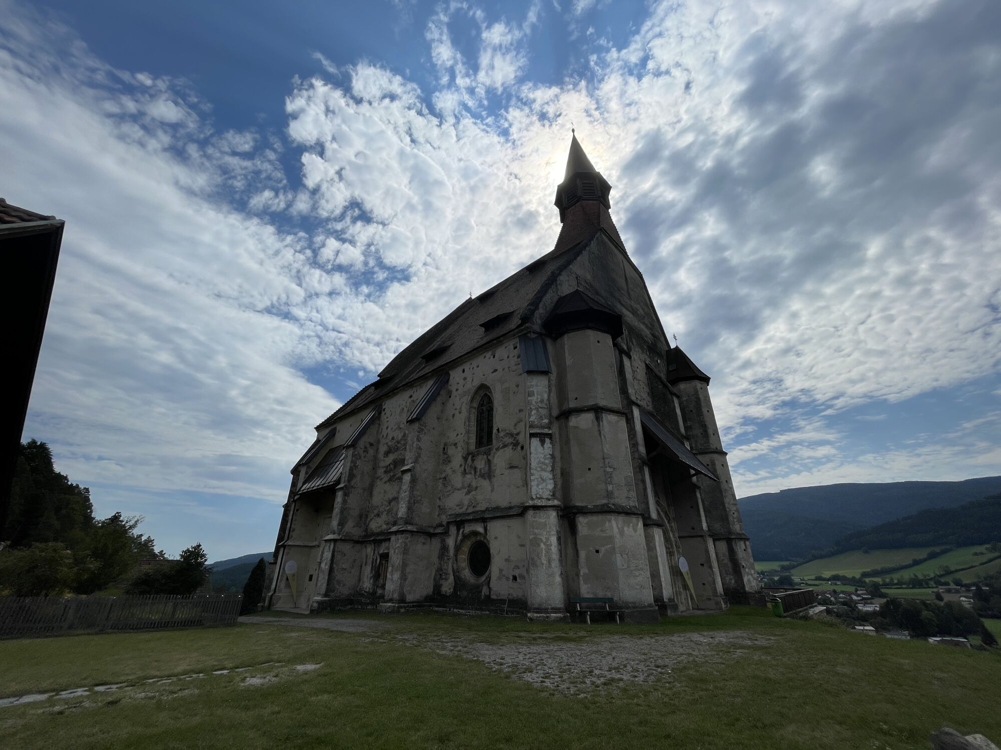
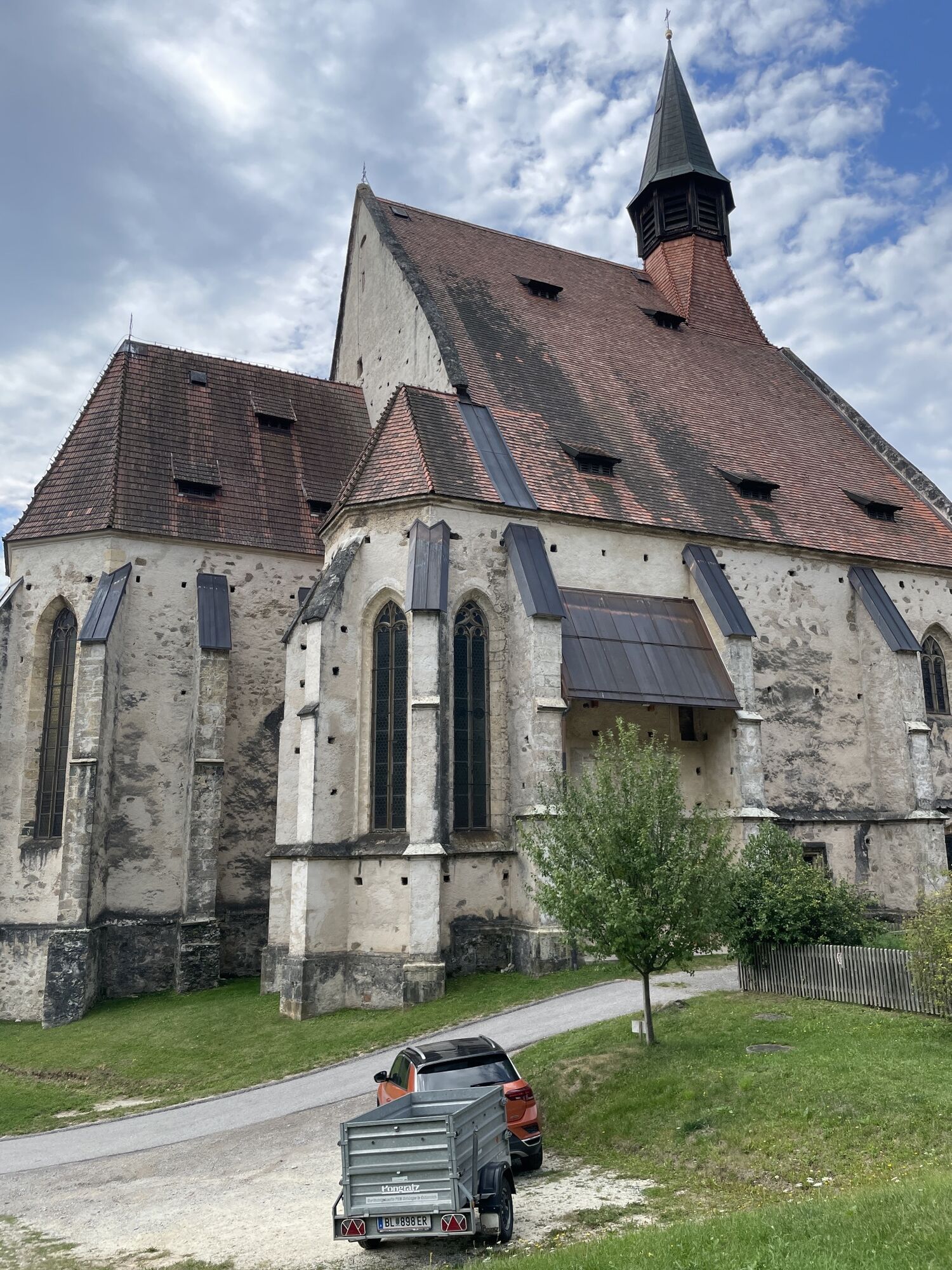
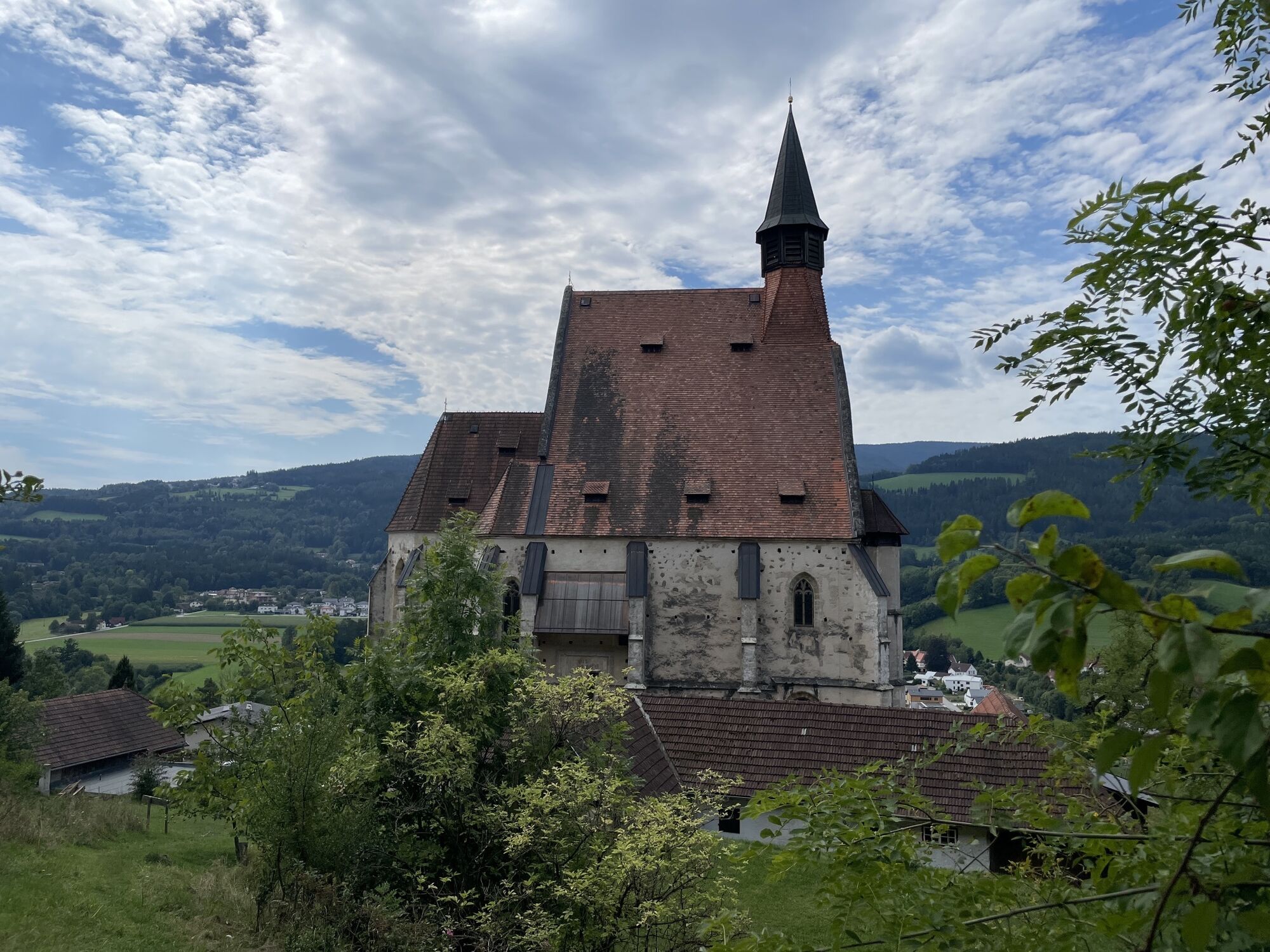
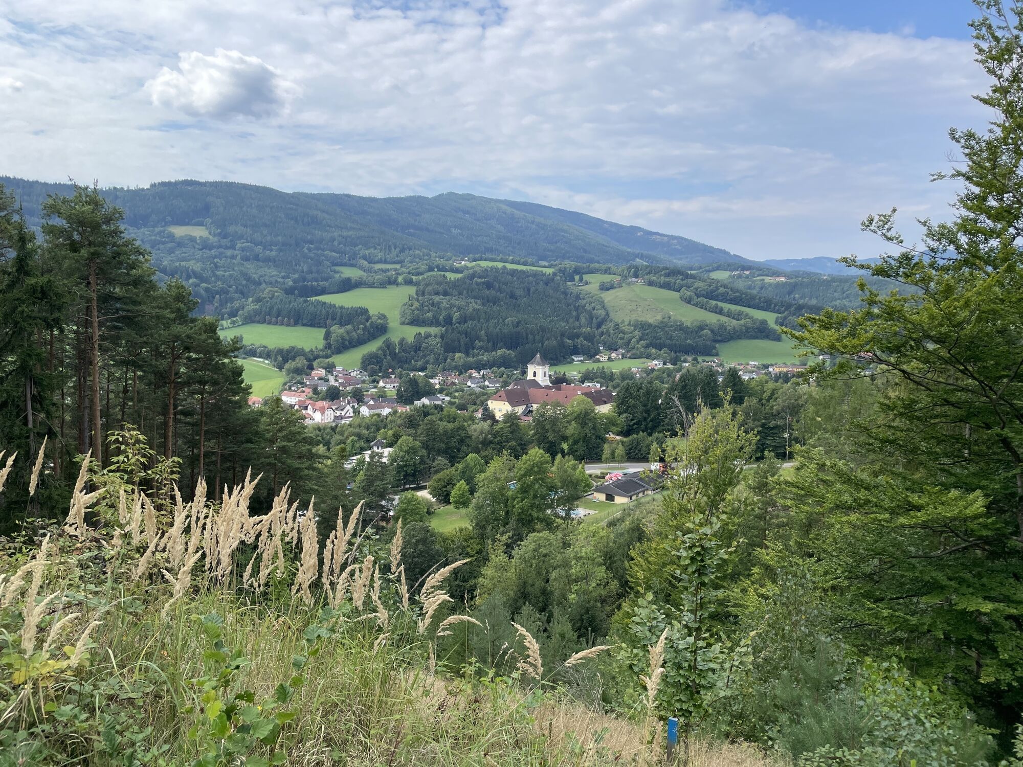
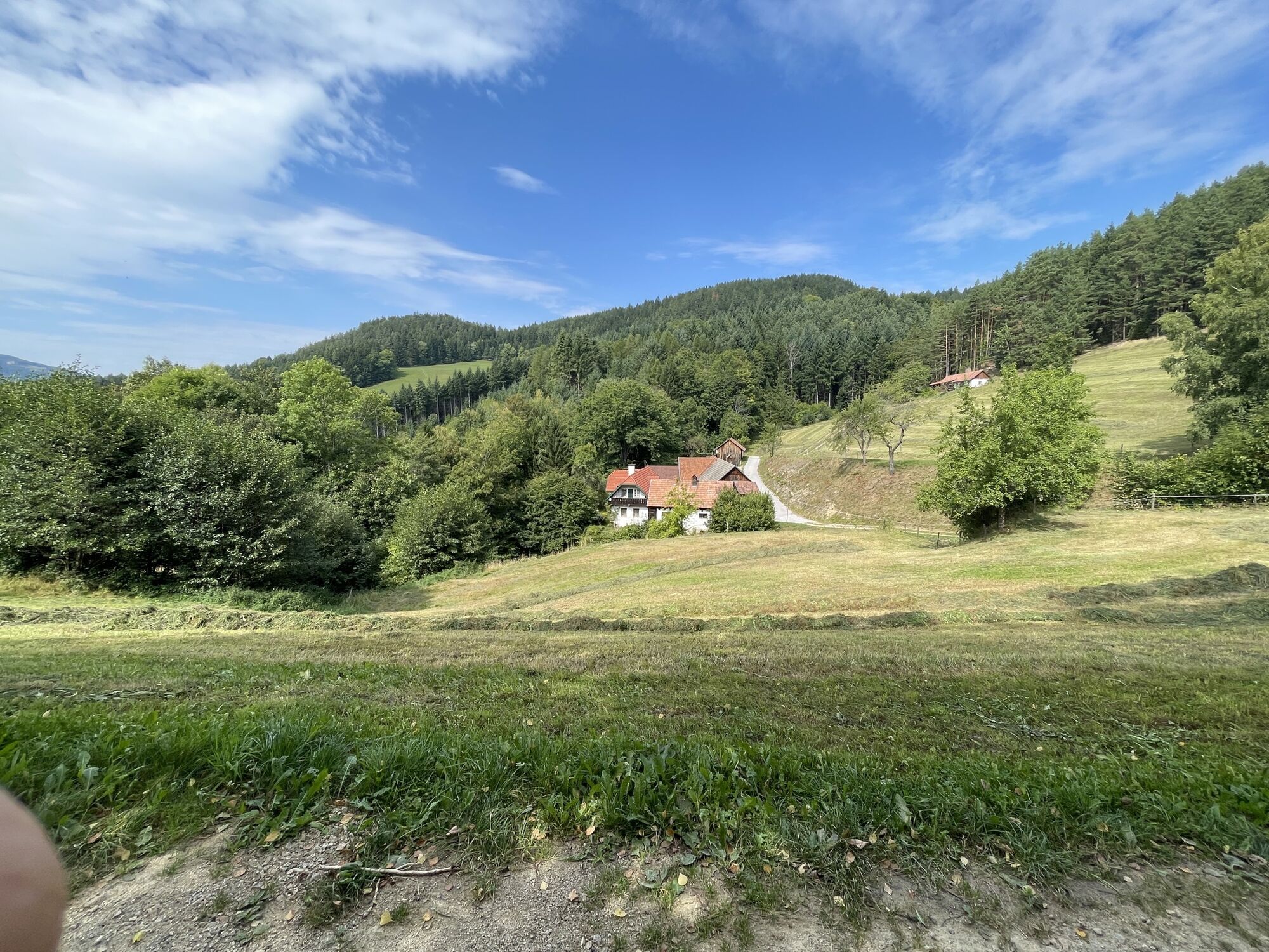
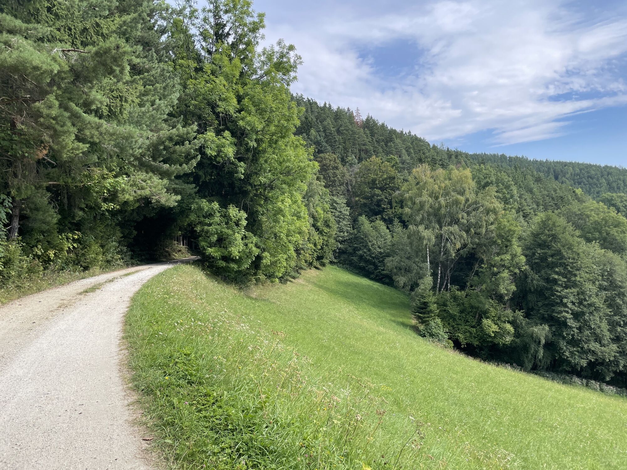
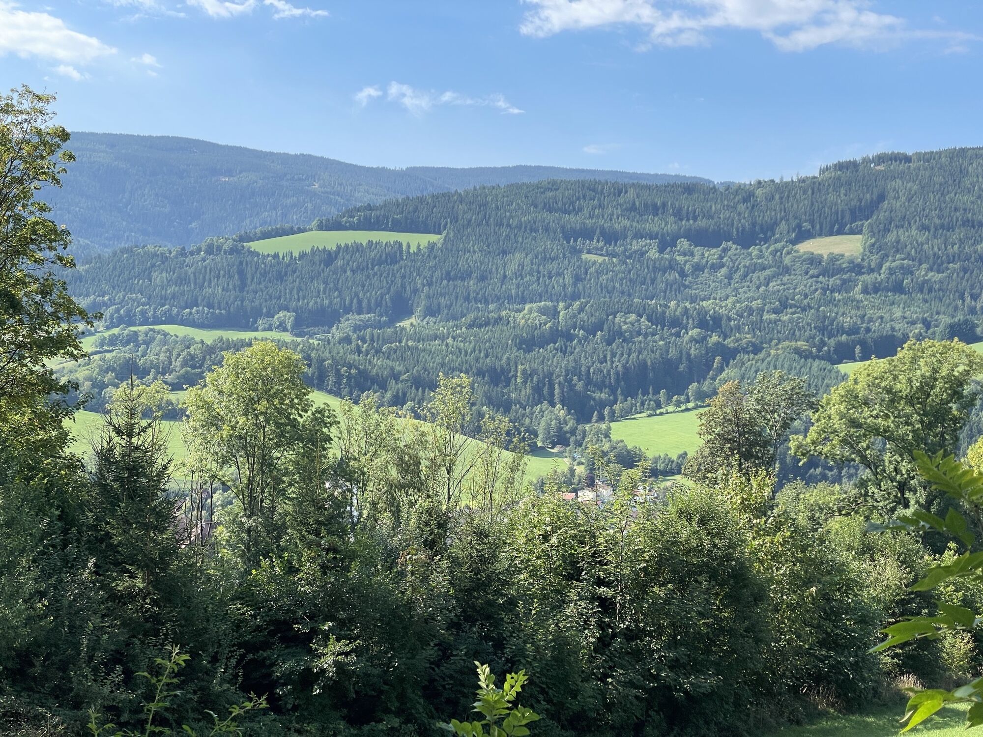
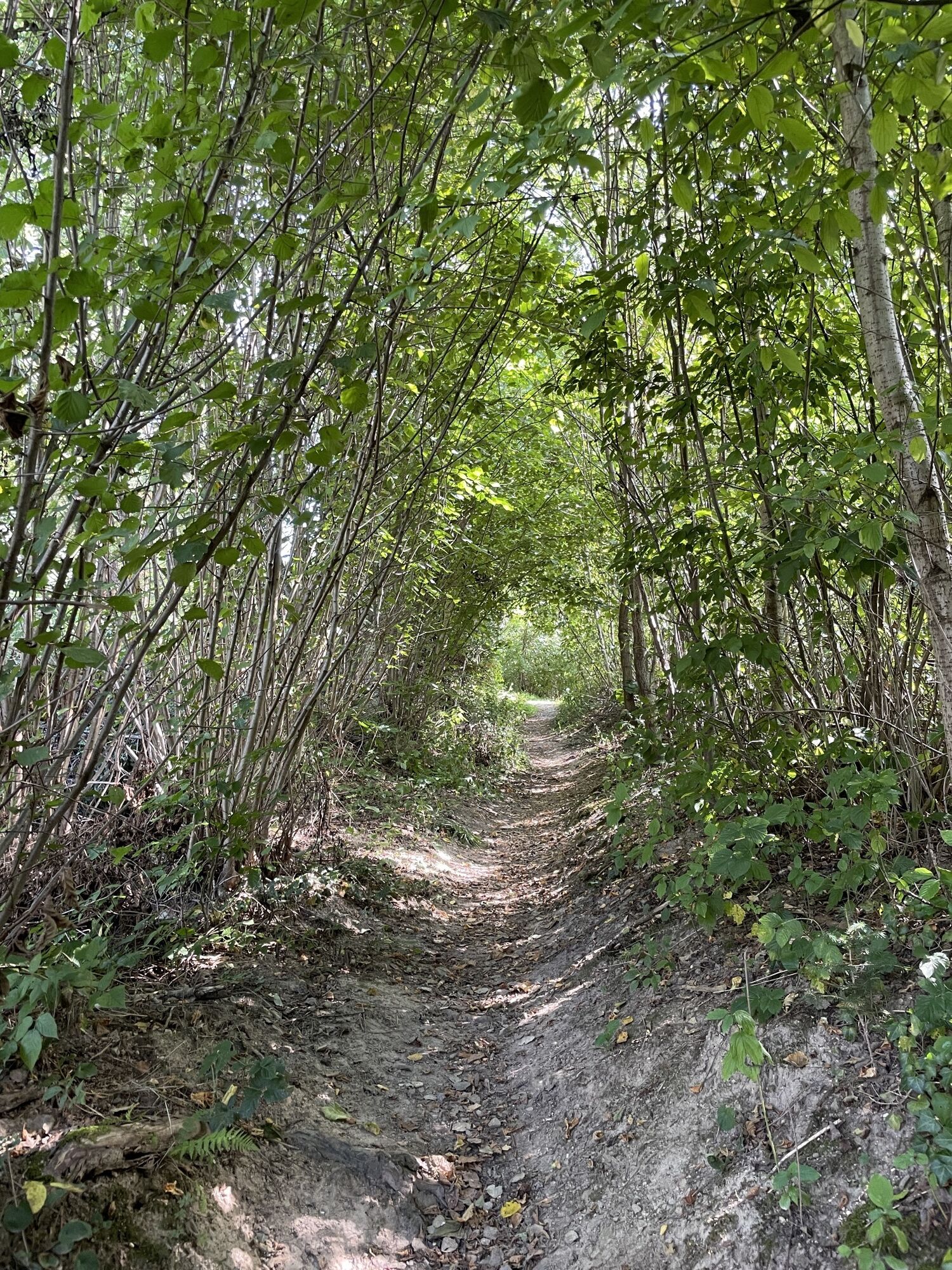
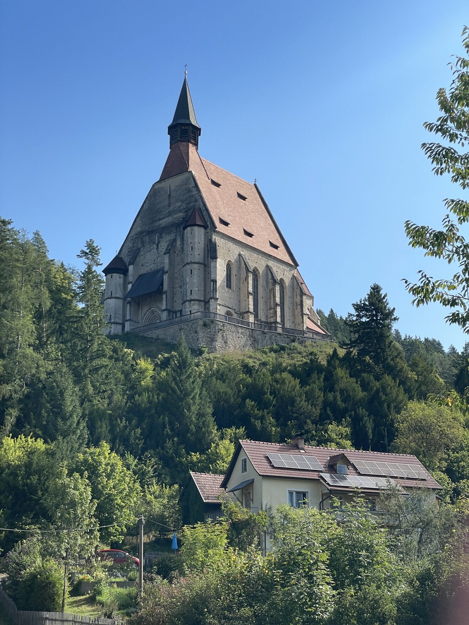
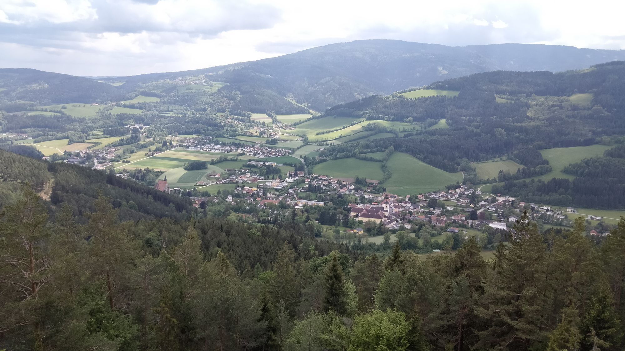
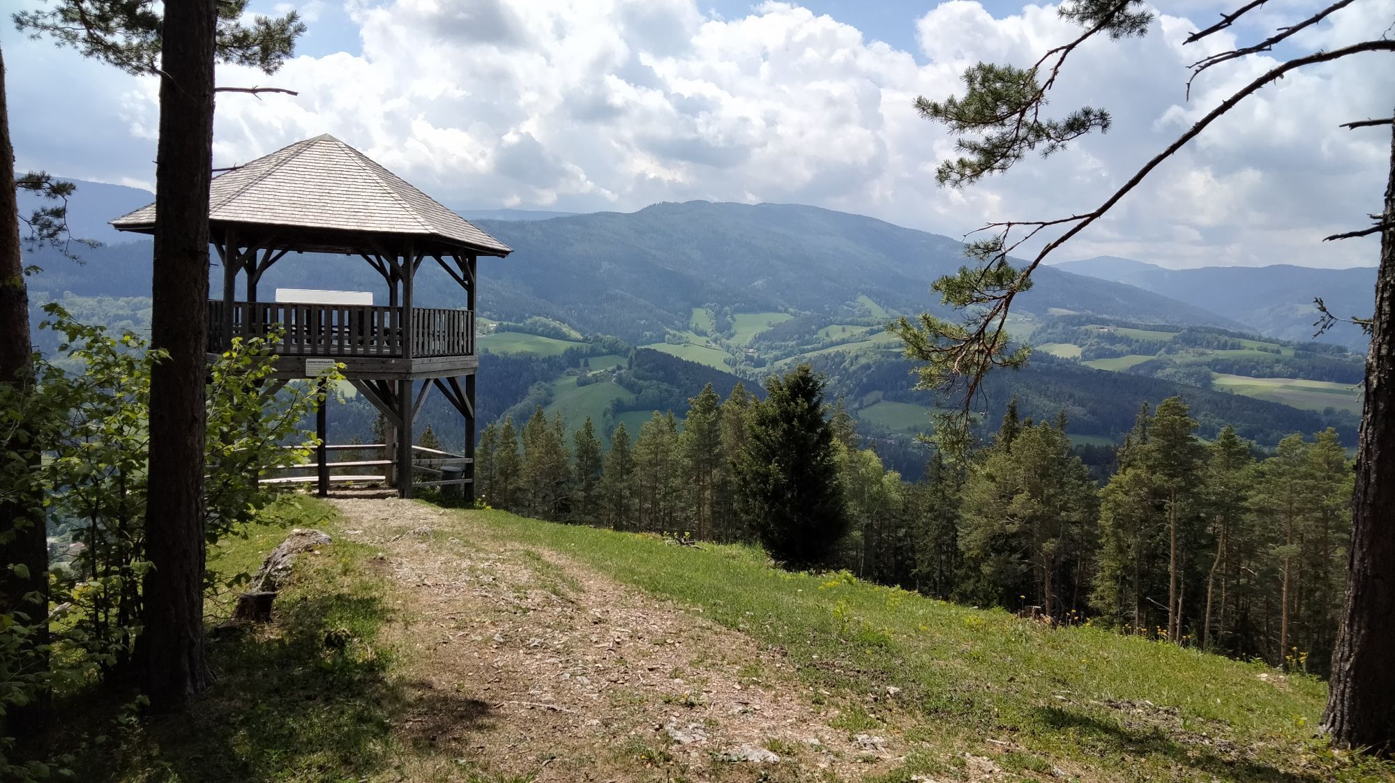
<p>The starting point of the hike is the Gothic Wolfgang Church. Via the Kirchgraben hiking trail, we reach the Wolf farm. After about 300 m we turn right into a forest path towards Kernstockwarte where we meet the Kernstockwarte-Ramssattel hiking trail (green marking). From there we follow the signs towards Kernstockwarte. The last few hundred meters must be hiked on a steeply ascending rocky footpath. Once at the top, we are rewarded with a magnificent panoramic view of the Wechsel region, Stuhleck, Rax, and Schneeberg.</p><p>The return route follows a narrow path over which we reach the Kernstockwarte-Ramssattel hiking trail (green marking) again. We follow the signs towards Kalvarienberg and via the Kalvarienberg and the Kernstockwarte-Ramssattel hiking trail (green marking) we pass the parish church and elementary school back to the Wolfgang Church.</p>
Oui
<p>Sturdy footwear, poles (with snow plates in snow), waterproof outdoor clothing, hat, gloves, scarf or multifunctional cloth, backpack, headlamp (days are shorter in winter), sunglasses, sun and/or cold protection, water bottle or thermos are essential in winter.</p>
<p>The route partly runs through forests and over unpaved paths. In case of snow, the paths are not cleared and may have icy or slippery spots. Use of the paths is at your own risk. It is recommended to consider the early dusk and to carefully plan your hikes.</p>
<p>On the A2 take the Aspang exit to Kirchberg am Wechsel or on the A2 - S6 take the Gloggnitz exit to Kirchberg</p>
<p>By Südbahn to Gloggnitz station and by bus no. 367 of Retter Linien to Kirchberg am Wechsel/town center</p><p>By Südbahn to Aspang station and by regional bus to Kirchberg am Wechsel</p><p>More information at <a href="anachb.vor.at/">route planner VOR AnachB</a></p>
<p>Free parking spaces are available in the town area.</p>
A hiking map of Kirchberg with all hiking and walking trails is available at the tourist office
Dining options: Gasthaus St. Wolfgang, Wirtshaus Grüner Baum
Worth seeing:
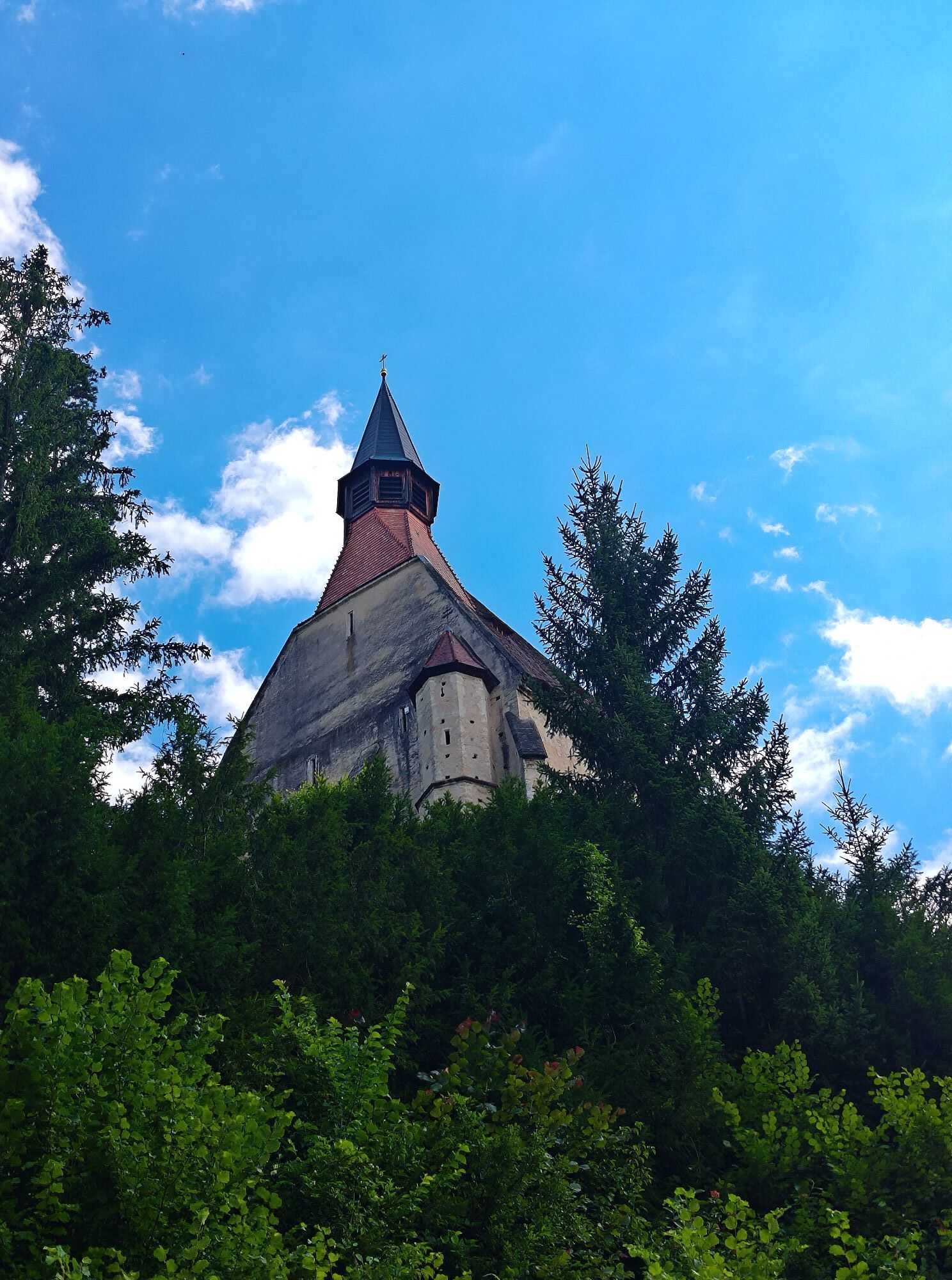
Wolfgang Church
According to legend, St. Wolfgang is said to have founded the church. The church can only be visited with a guided tour. Registrations for a visit are possible at the tourist office under phone number 02641/2460.
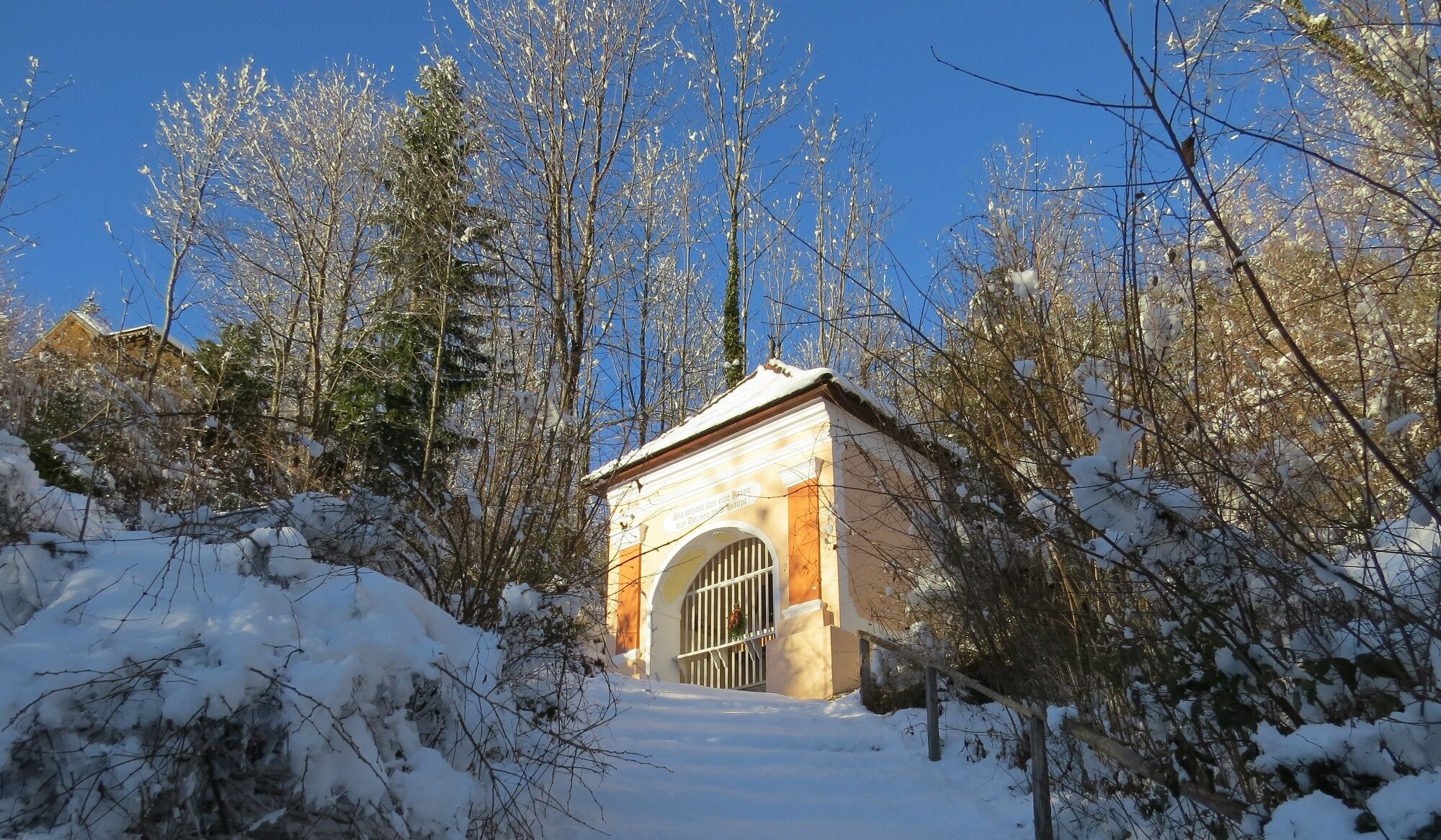
Kalvarienberg
The Kalvarienberg was built in 1713/14 after the end of the plague. These are not the usual 14 Stations of the Cross, but chapels with realistic depictions of the mysteries of the Sorrowful Rosary.

Webcams de la tournée

Activités le long du parcours

Parcours populaires à proximité
-
3,9
Schwaigen Rundwanderung
facileRandonnée 8,24 km -
4,6
Hochwechsel-Runde, Waldbach-Mönichwald
moyenRandonnée 17,9 km -
3,8
St. Corona - Kampstein
moyenRandonnée 10,7 km -
4,7
Hochwechsel - Tour
Randonnée 18,5 km -
4,9
Flatzer Wand Wanderung
facileRandonnée 5,62 km -
4,7
Fischbacher Alpen: Vom Pfaffensattel zum Stuhleck
facileRaquettes 2,45 km -
4,6
Prigglitz - Pottschacher Hütte - Rote Wand - Prigglitz
moyenRandonnée 8,80 km -
4,6
Mariensee - Wildwasserweg - Marienseer Schwaig
facileRandonnée 8 km -
4,6
Klamm - Speckbacherhütte - Breitenstein - Klamm
moyenRandonnée 13,4 km -
4,5
Bucklige Welt: Auf dem Pittentaler Klettersteig zum Türkensturz
moyenVia ferrata 1,96 km

Randonnée et suivi


Ne manquez pas les offres et l'inspiration pour vos prochaines vacances
Votre adresse électronique a été ajouté à la liste de diffusion.





