







Hollenstein loop in winter
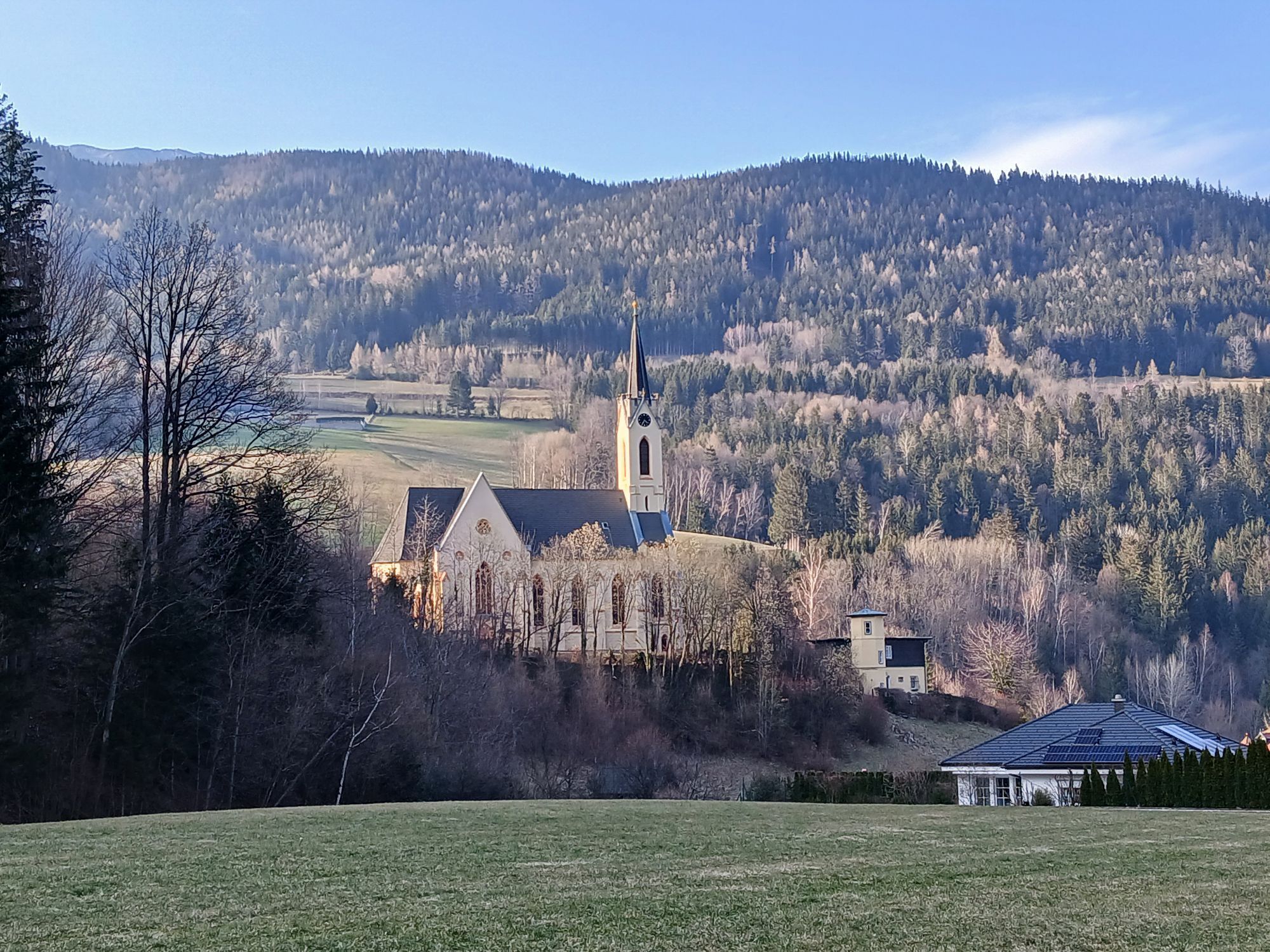
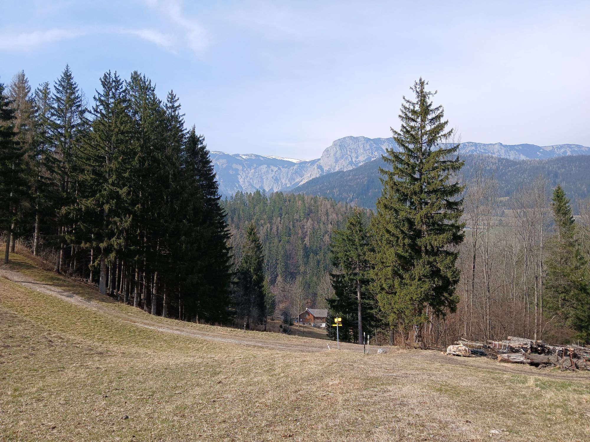
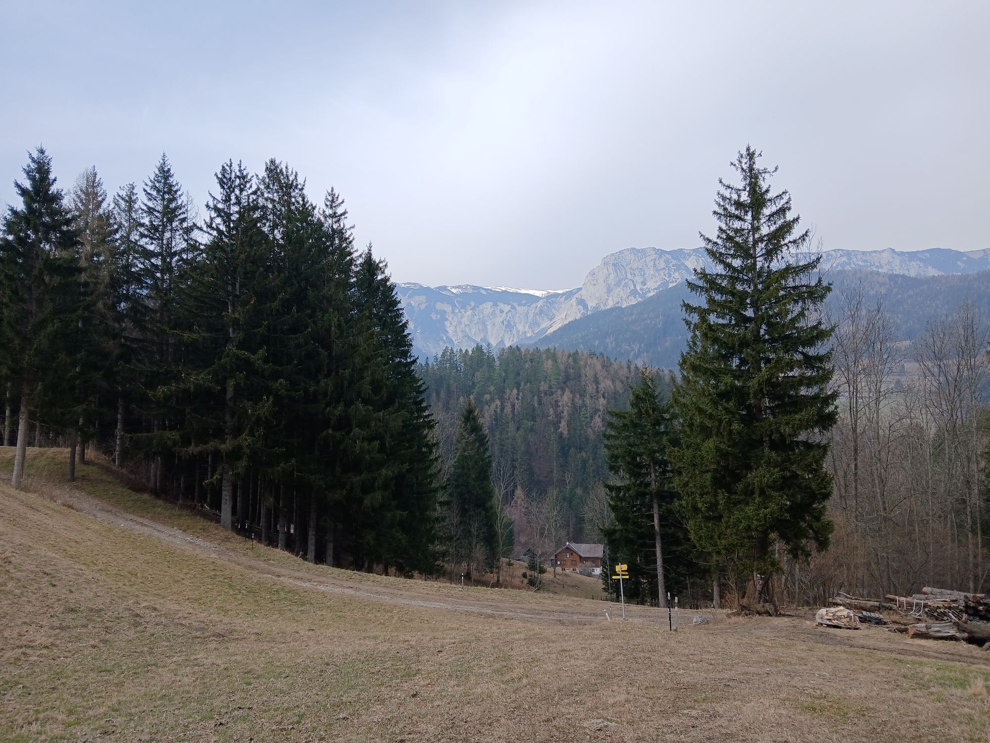
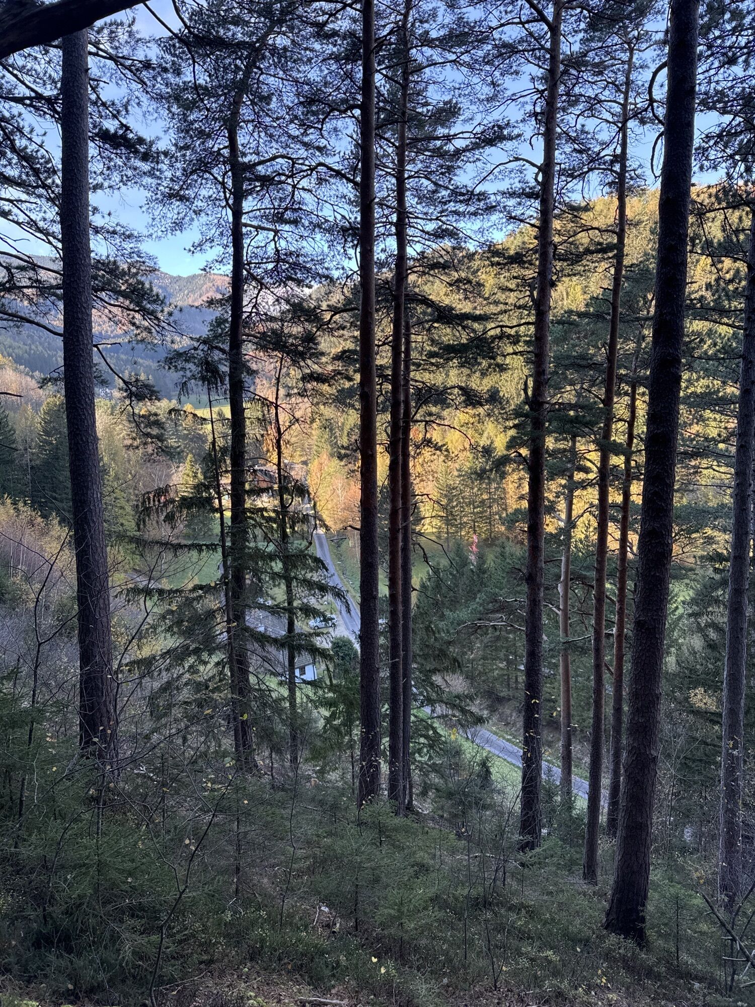
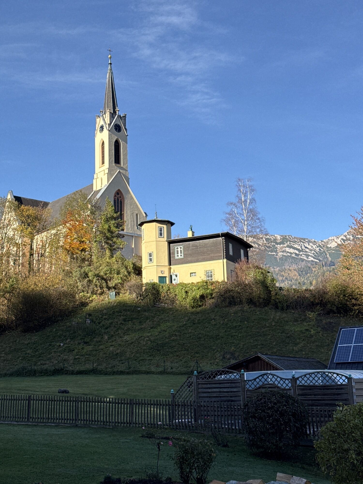
<p>The Hollenstein loop leads from the Raxalpenhof in Prein through the Preinrotte continuing over forest roads and passes numerous viewpoints with views of Prein and the Rax.</p>

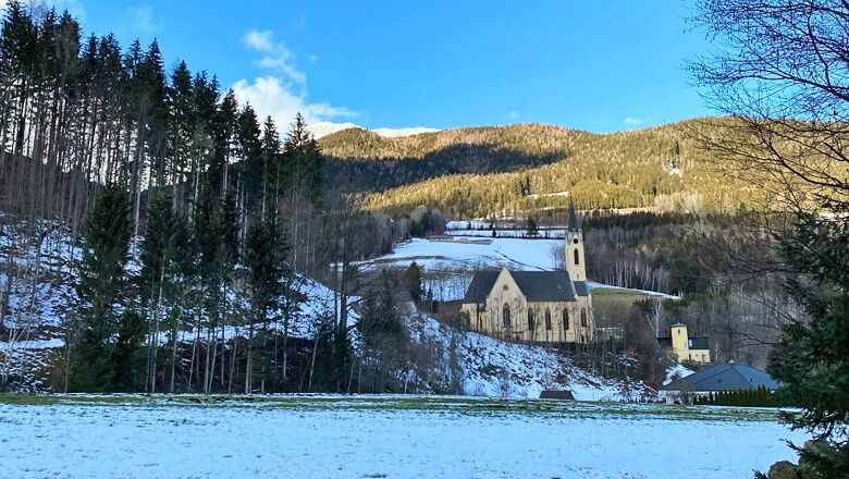
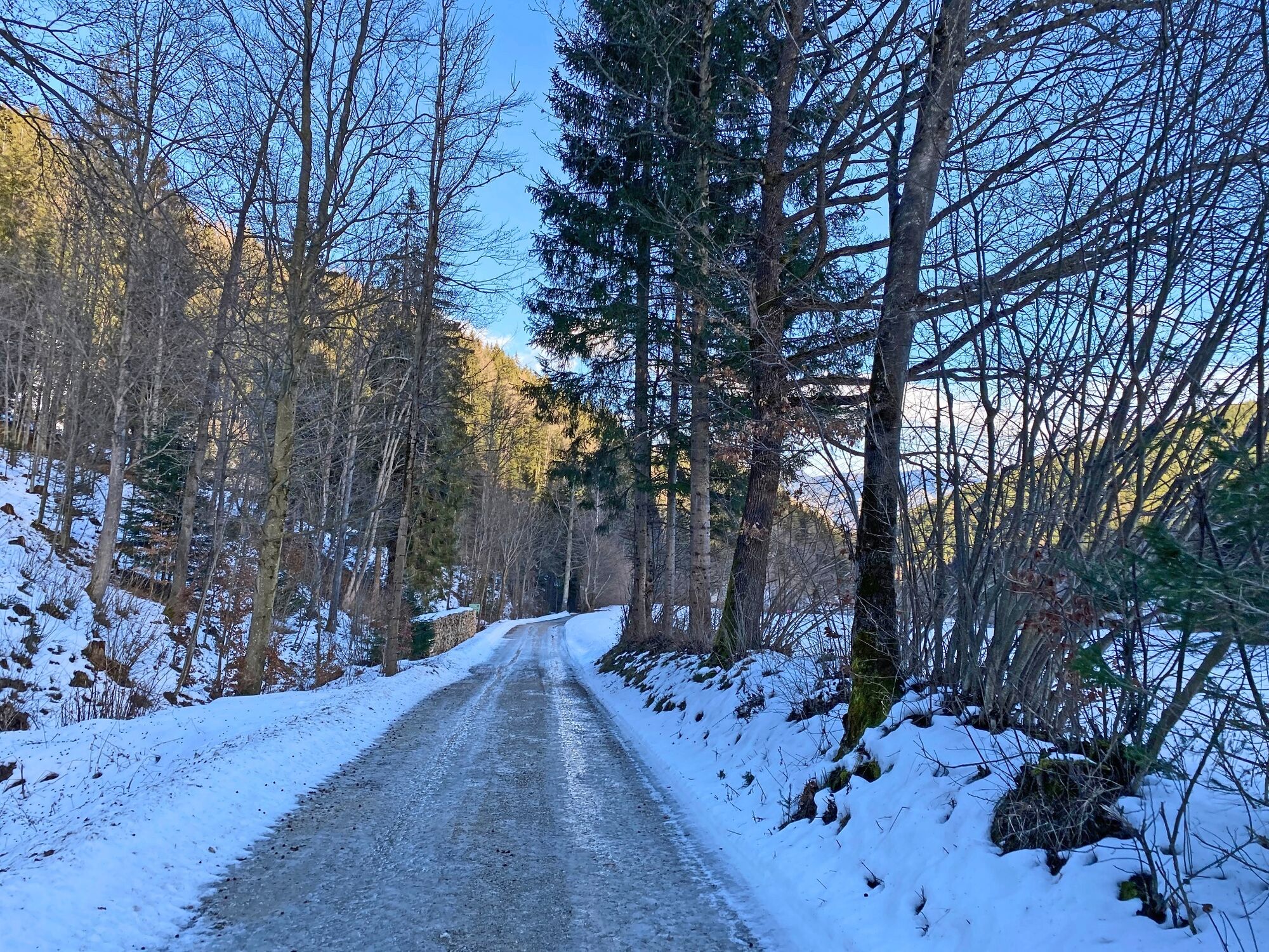
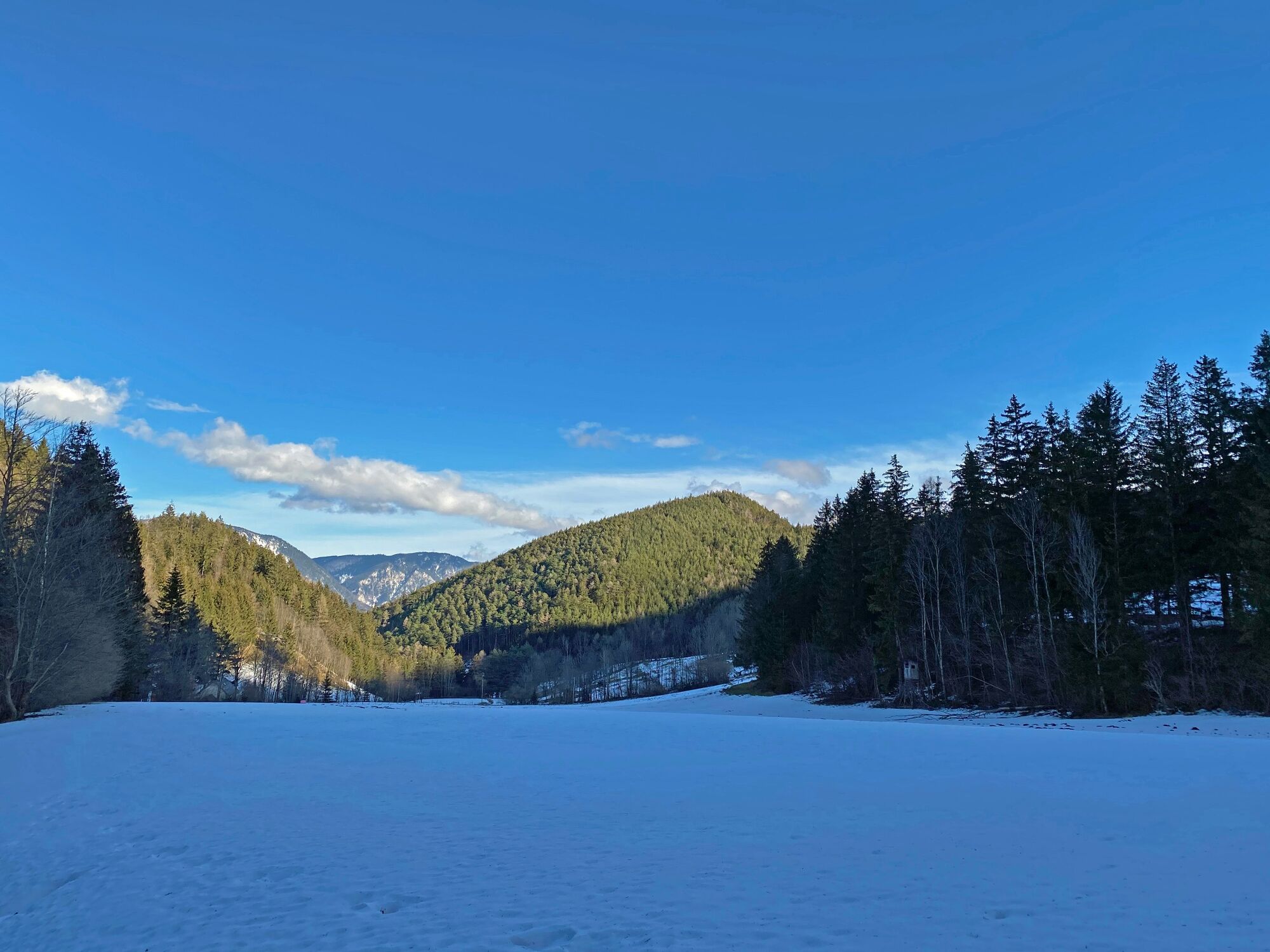

<p>The starting point is the hiking starting area in Prein an der Rax, at Scharfegger's Raxalpenhof.
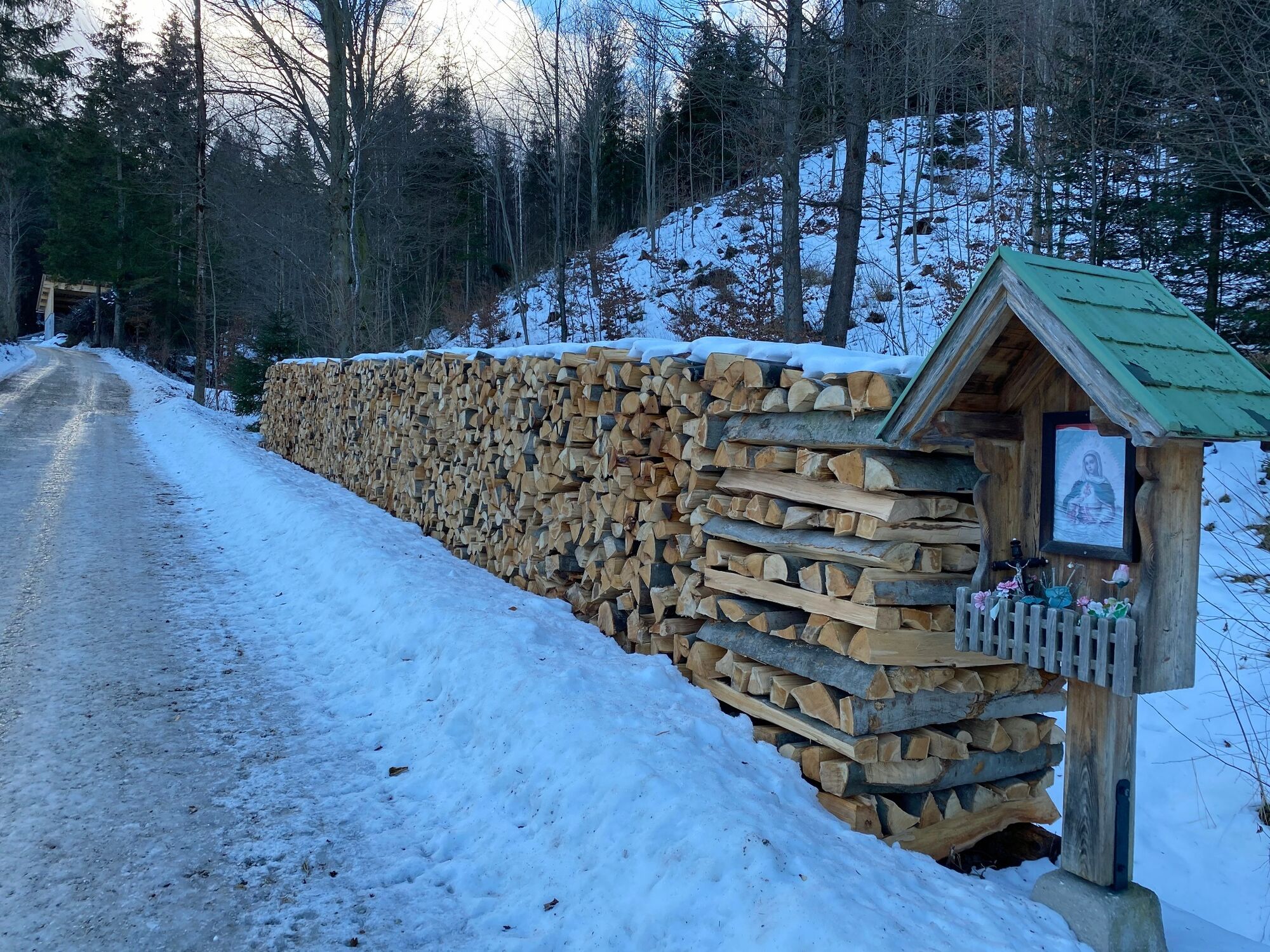
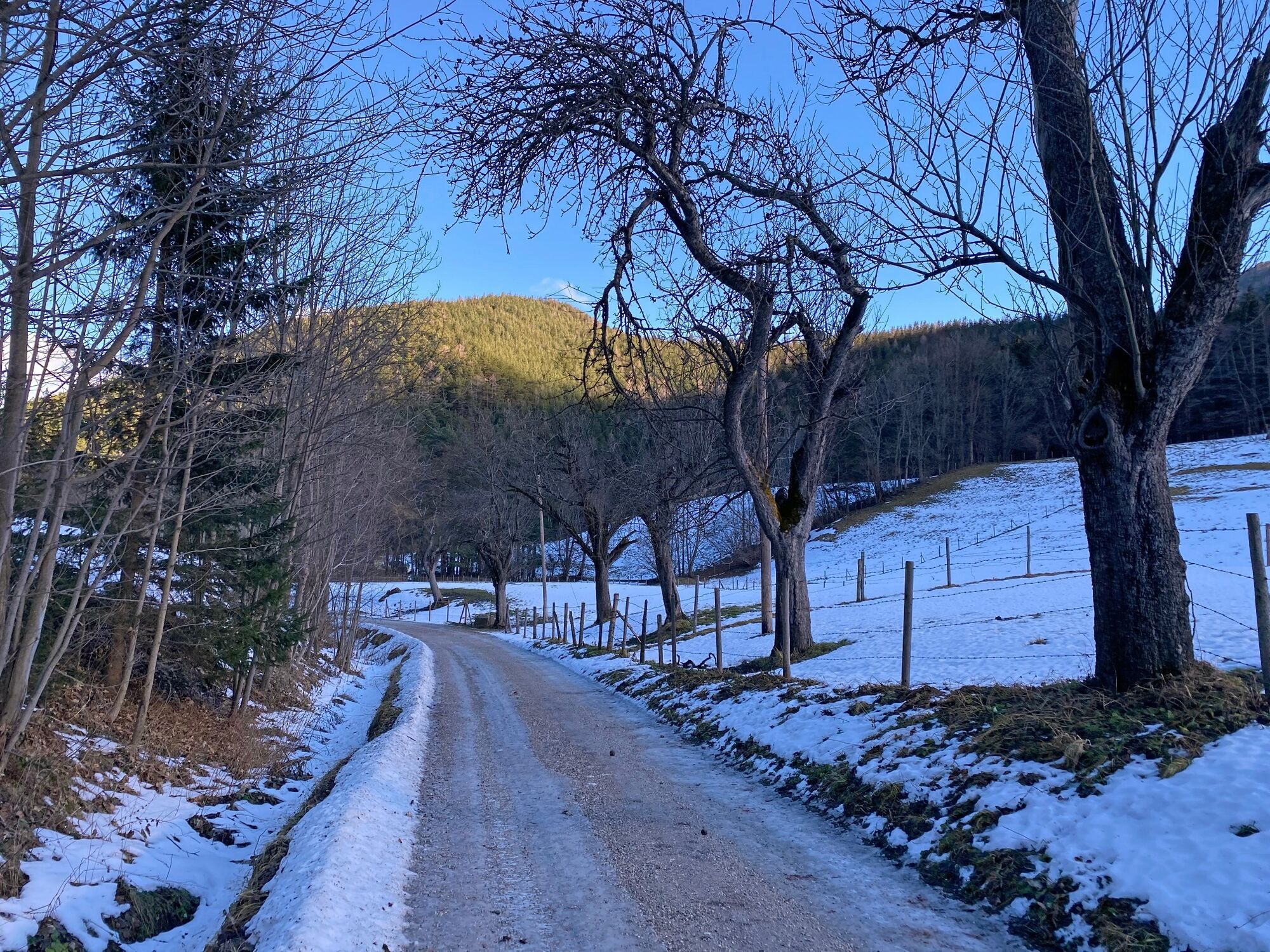
</p><p>Walk down the country road past the Raxalpenhof and turn right over the bridge into the Preinrotte towards Hollensteingraben. Opposite the football pitch, turn left uphill into Forststraße. Now follow the path and watch out for the yellow signposts. The route first goes a short way uphill before continuing comfortably on a flat path. After some time, the path leads downhill again, past the football pitch and back to the starting point.</p><p>Please note that the path is not always cleared during heavy snowfall and slippery spots may occur.</p>
<p>Always take suitable maps with you. Wear sturdy shoes appropriate for the route, bring sun and rain protection as well as water and a snack. Take your mobile phone with you and save the mountain rescue emergency number: 140</p>
<p>Your hikes in the Vienna Alps should be a beautiful and safe experience overall.
</p><p>Please therefore note the following:</p><p>Make sure when choosing your route that it suits your <strong>fitness level</strong>. Check the <strong>weather report</strong> in advance. Always set out properly equipped (sturdy <strong>footwear</strong>, winter hiking gear). Check whether the huts and snack stations you want to visit en route are open. Inform someone about your chosen route and your planned return before you leave. Stay on <strong>marked paths</strong> and avoid shortcuts. Do not litter and dispose of waste properly.</p><p><strong>Attention, this winter hiking trail may not be completely cleared in snowy conditions and can have slippery spots. Use at your own risk! Please also bear in mind that winter markings can be invisible under snow, so prepare well for your tour! Pay attention to early dusk and plan your tours especially carefully.</strong></p>
<p>From <strong>Vienna</strong>, take the A2 South Motorway to the S6 Semmering Expressway and take the Gloggnitz exit. Drive on the B27 towards Payerbach/Reichenau and then towards Prein an der Rax.
</p><p>From <strong>Graz</strong>, take the S6 Semmering Expressway and take the Gloggnitz exit. Drive on the B27 towards Payerbach/Reichenau and then towards Prein an der Rax. </p>
<p>Travel by train to the <strong>Payerbach-Reichenau station</strong>. From there, take the bus line 342 to the stop "Prein an der Rax Ortsmitte", where the hiking starting point is also located.
</p><p>Alternatively, you can individually book a ride with the RUFbus Semmering-Rax, which will take you to the hiking starting point.</p><p><strong>RUFbus stops along the way:</strong></p><p>PB6 Payerbach station</p><p>RE10 Raxalpenhof Prein</p><p>More info: <a href="www.oebb.at">www.oebb.at</... and <a href="www.vor.at">www.vor.at</a&...
<p>Parking spaces are available around Scharfegger's Raxalpenhof.</p>
Refreshment option:
Further information:
Tourism office Reichenau, tourismus@reichenau.at, +43 2666 52865
Tourism association Semmering-Rax-Schneeberg, +43 660 900 88 22
Refreshments at the Raxalpenhof
Parcours populaires à proximité
-
4,7
Losenheim: Edelweißhütte - Fadensteig - Fischerhütte
moyenRandonnée 11,5 km -
4,7
Zahnradbahn und Wandern am Schneeberg - Plateauwanderung
moyenRandonnée 6,90 km -
4,8
Promenade culturelle Payerbach-Reichenau
facileRandonnée 7,43 km -
4,8
Rax - Heukuppe
Randonnée 15,6 km -
4,5
Familienwanderung auf die Schneealm im Naturpark Mürzer Oberland
facileRandonnée 9,86 km -
5,0
"Weichtalklamm" über Stock und Stein durch das Höllental - Weichtalhaus - Kientallerhütte 1340m
moyenRandonnée 14,0 km -
5,0
Insider tip: Schneeberg via the Novembergrat
difficileRandonnée 13,5 km -
4,9
"Über den höchsten Nieder-Ösi" - Schneeberg - Weichtalklamm - Klosterwappen - Stadlwandleiten
moyenRandonnée 17,7 km -
4,9
Reißtalersteig und Gretchensteig
difficileRandonnée 8,10 km -
4,9
SCHNEEBERG Losenheim Nandlgrat Klosterwappen Fadenweg 28.09.2017
difficileRandonnée 15 km
Randonnée et suivi


Ne manquez pas les offres et l'inspiration pour vos prochaines vacances
Votre adresse électronique a été ajouté à la liste de diffusion.





