


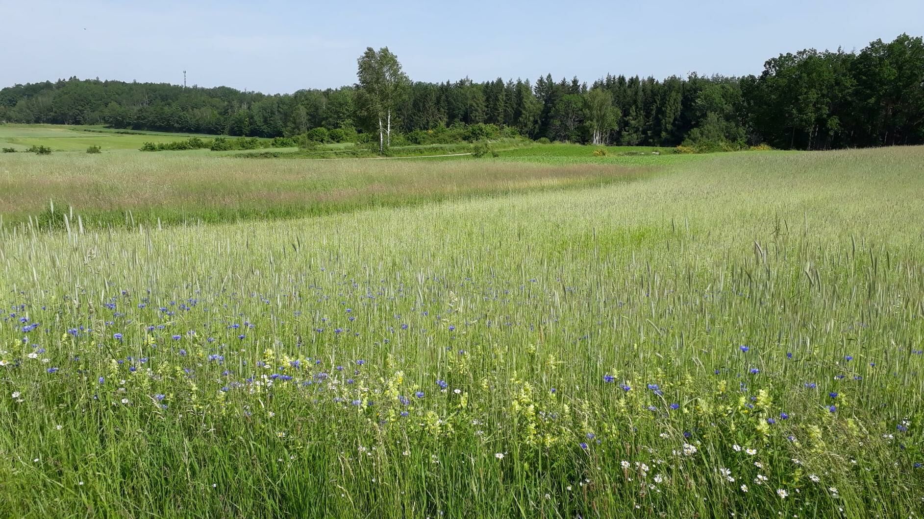
Moor and field


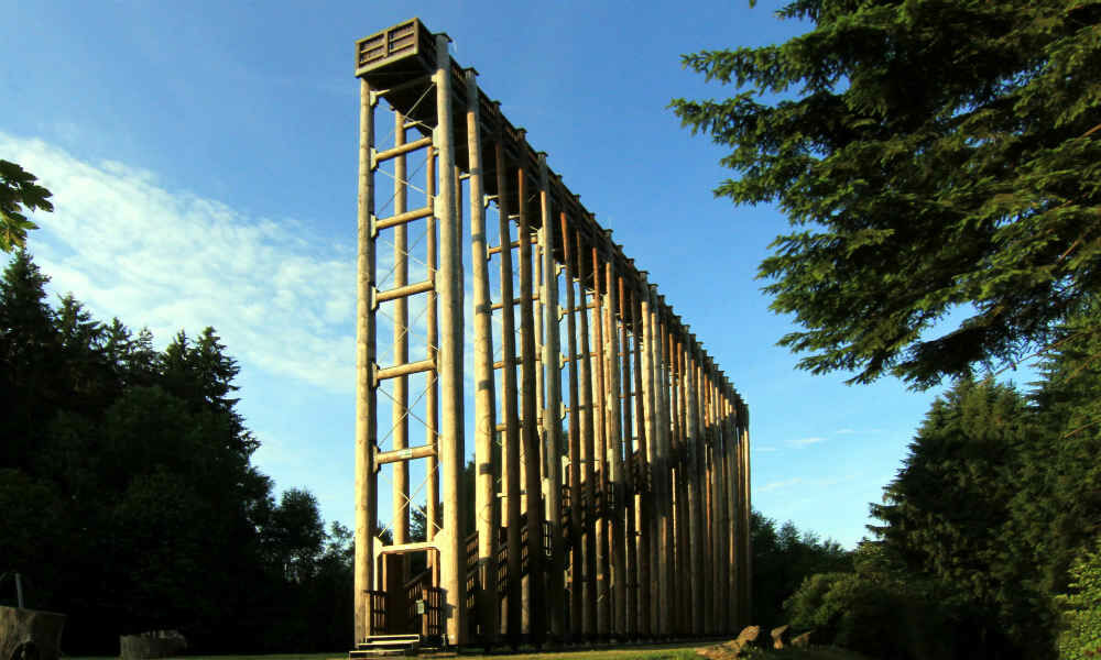
Places of interest along the route: Himmelsleiter (ladder to heaven) - the 20 m high lookout point promises a great view over the beautiful moor landscape. The whipping post leads the visitor on wooden...
Places of interest along the route: Himmelsleiter (ladder to heaven) - the 20 m high lookout point promises a great view over the beautiful moor landscape. The whipping post leads the visitor on wooden posts a little way into the moor, where you can discover the fascinating flora and fauna particularly well. You can get up close and personal with the moor in the moor treading pool - it is said to work wonders for tired feet...

This circular hike requires a bit of stamina, but it's worth it: the starting point is the UnterWasserReich car park. From there, the trail winds its way across the high moor to Langschwarza. Via the Waldschenke and the chapel of St. Johann im Walde you will get to Neuhöf, past the "House of Horses", to Ehrenhöbarten and the abandoned "Brombühel" quarry back to Schrems to the starting point.
Sturdy shoes
From Vienna: A22 to Stockerau Nord, B4 to Horn, B 2 (direction Gmünd) to Schrems.
From St. Pölten: S 33 to Krems
From Krems: B37 to Zwettl, B36 to Vitis, B 2 to Schrems
From Linz: A 7, B 310 to Freistadt, B 38 to Karlstift, B 41 to Schrems
From Ceske Budejovice: on the E49/E55 via Trebon, Suchdol, Neunagelberg, to Schrems
von Wien: Franz Josefs-Bahn bis Gmünd, weiter mit ÖBB Postbus bis Schrems Busbahnhof, ca. 15 min zu Fuß bis zum UnterWasserReich
von St. Pölten: REX Richtung Krems/Donau, weiter mit ÖBB Postbus bis Schrems Busbahnhof, ca. 15 min zu Fuß bis zum UnterWasserReich
Car park of the UnderWaterWorld
Waldviertel Tourism
3910 Zwettl, Sparkassenplatz 1/2/2
(T) +43 2822 54109
(E) info@waldviertel.at
(I) www.waldviertel.at
Nature Park Hiking Trail www.naturparke-noe.at, Municipality of Schrems www.schrems.at
Visit to the UnterWasserReich Schrems - www.unterwasserreich.at
Parcours populaires à proximité
- 4,3
Teiche-Radroute (Strecke 2020) Niederösterreich
moyenFaire du vélo48,7 km - 2,5
Blockheiderunde
facileRandonnée6 km - 4,2
Hochmoor-Wanderweg ( Tut-gut Route 1)
facileRandonnée4,85 km - 5,0
Rundweg Heidenreichstein
moyenRandonnée16,2 km Fischersteig
facileRandonnée5,06 km- 4,0
Kneipprundwanderweg Nr. 70
moyenRandonnée16,9 km - 4,7
Mythologieweg Blockheide
facileRandonnée4,96 km - 3,5
Aubergweg
facileRandonnée6,77 km - 3,7
NatURknallweg
facileRandonnée17,3 km - 2,5
Naturparkweg (Tut-gut Route 2)
facileRandonnée6,16 km
Randonnée et suivi


Ne manquez pas les offres et l'inspiration pour vos prochaines vacances
Votre adresse électronique a été ajouté à la liste de diffusion.