© © POV - Destination Waldviertel


- Brève description
-
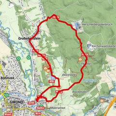
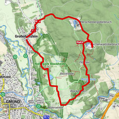
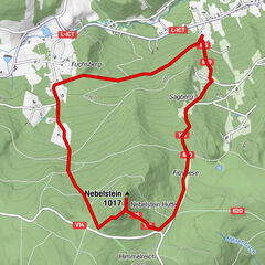
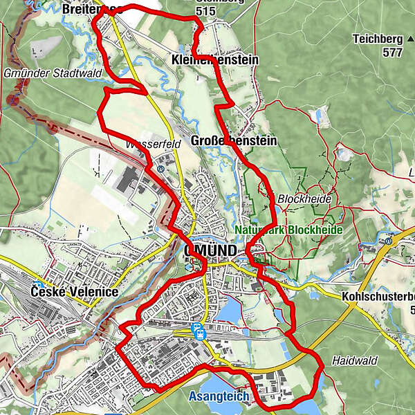
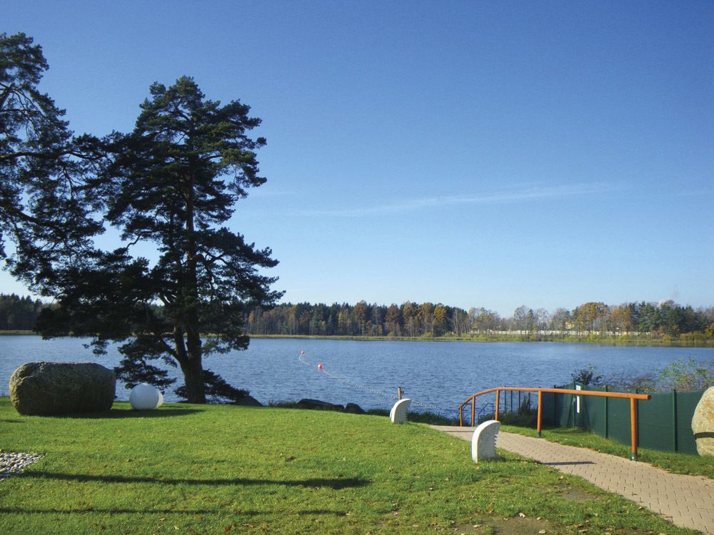
Rundwanderweg B in Gmünd
- Difficulté
-
facile
- Évaluation
-
- Parcours
-
Gmünd0,3 kmBreitensee4,8 kmhl. Maria5,1 kmKleineibenstein7,0 kmEibenstein7,6 kmGroßeibenstein8,4 kmGasthaus Gruböck8,4 kmLatschenhütte8,6 kmJausenstation Schutzhaus9,2 kmHubertuskapelle9,3 kmGrillenstein10,1 kmGmünd10,1 kmMalerwinkel10,4 kmNick15,5 kmGmünd17,3 km
- Hauteur maximale
- 512 m
- Point de mire
-
Gmünd
- Profil en hauteur
-

- Auteur
-
La randonnée NatURknallweg est utilisé par outdooractive.com fourni par.
GPS Downloads


Informations générales
Point de rassemblement
Flore
Autres parcours dans les régions
-
Waldviertel
1776
-
Oberes Waldviertel
614
-
Gmünd im Waldviertel
130