






Laab im Walde - Gütenbachtor - Lainzer Tor, Niederösterreich - Wien/Österreich
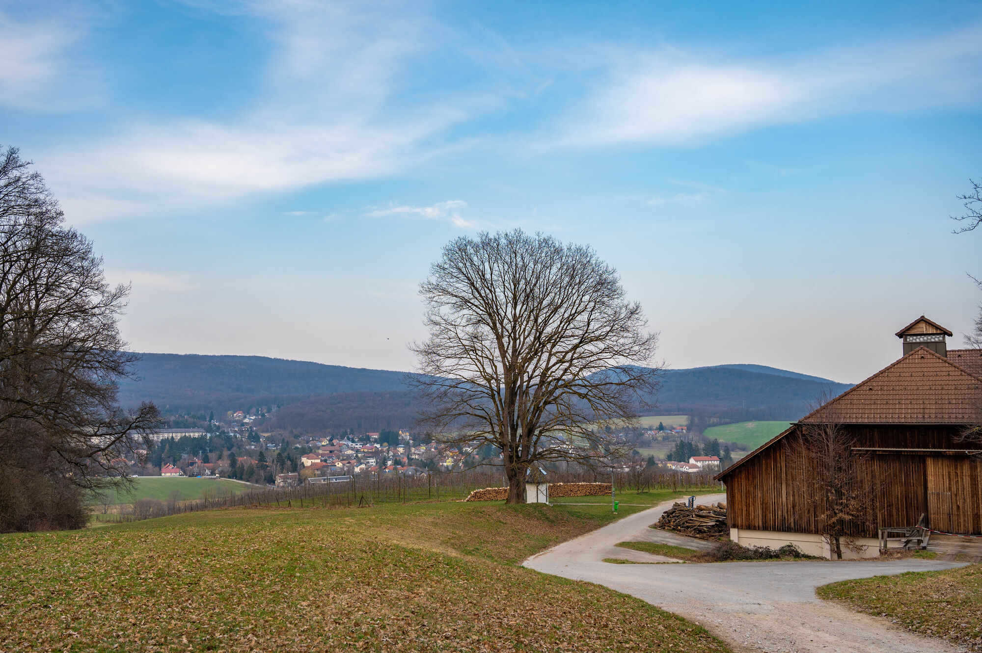
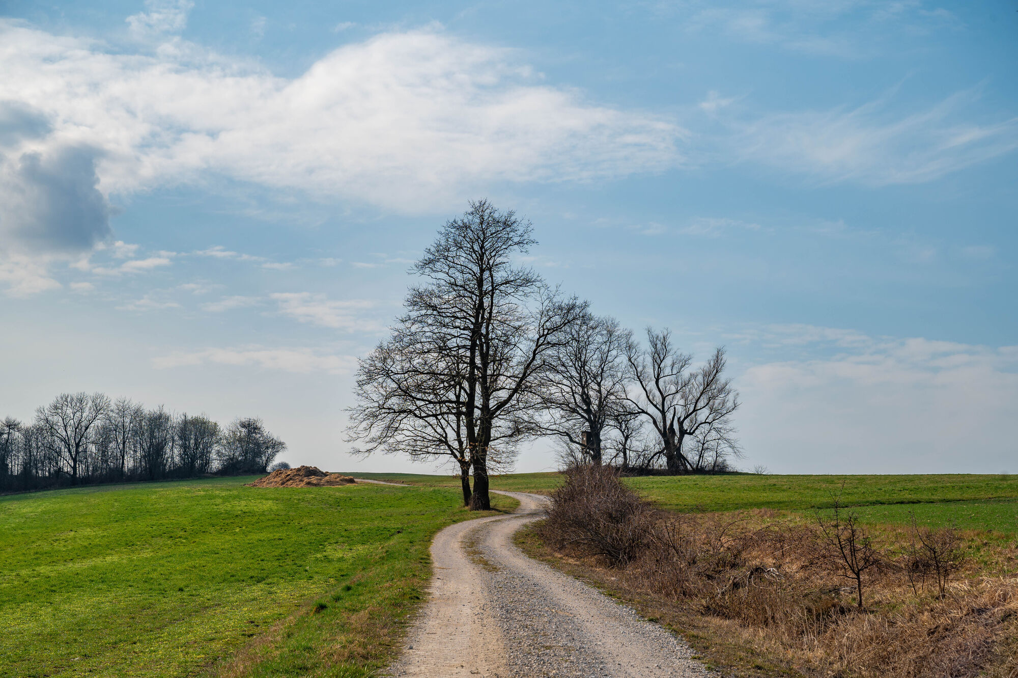
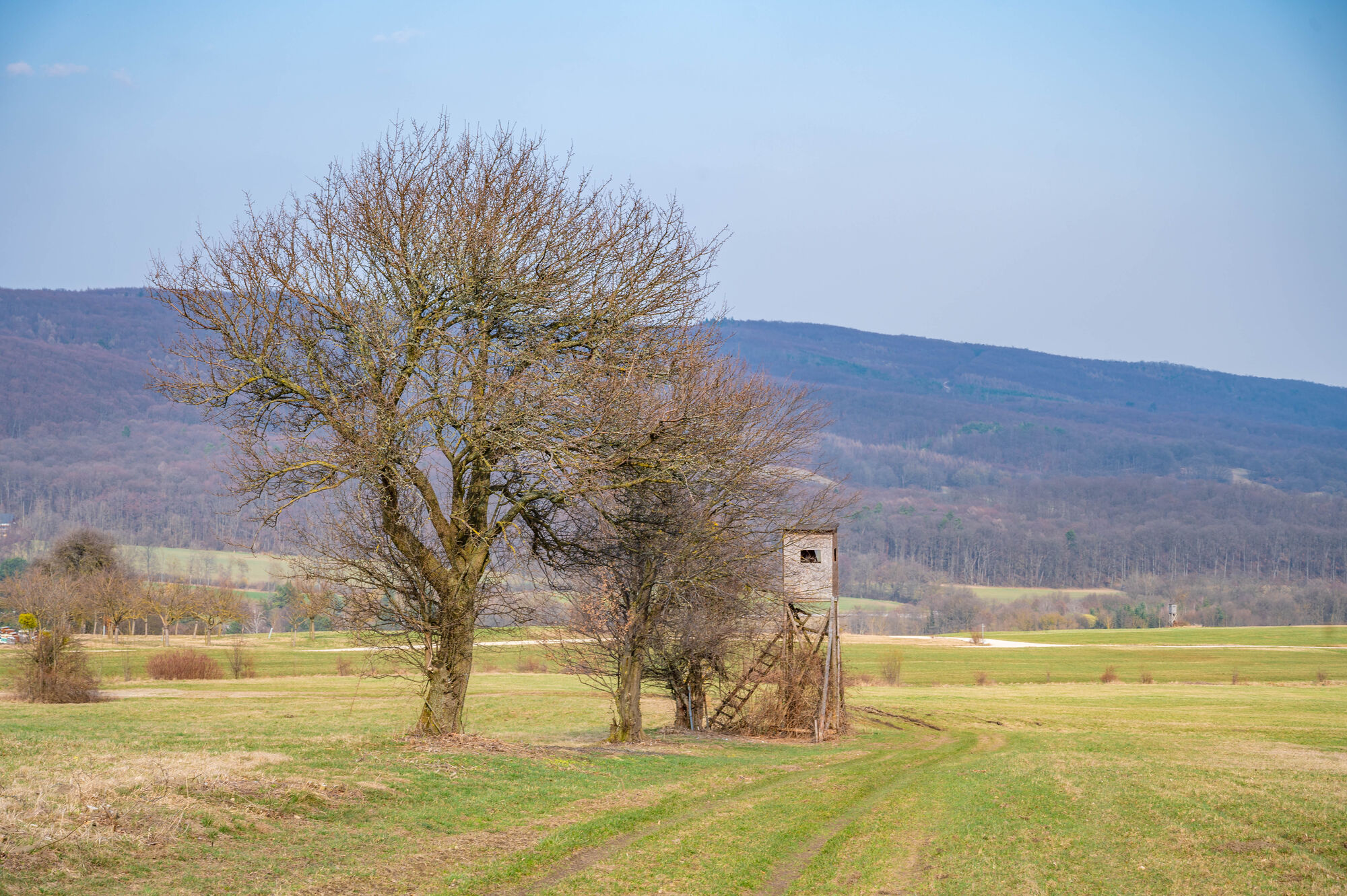

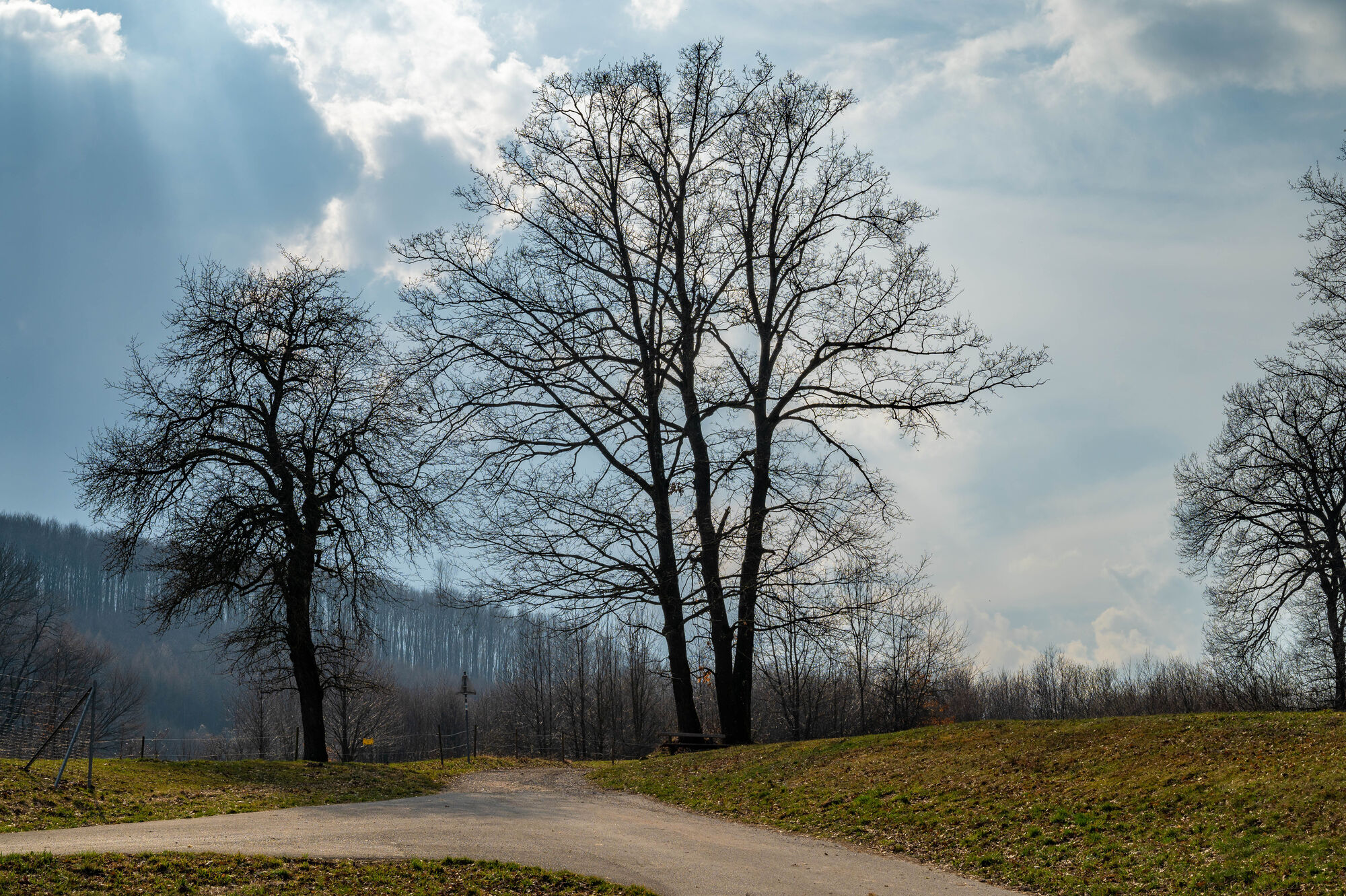
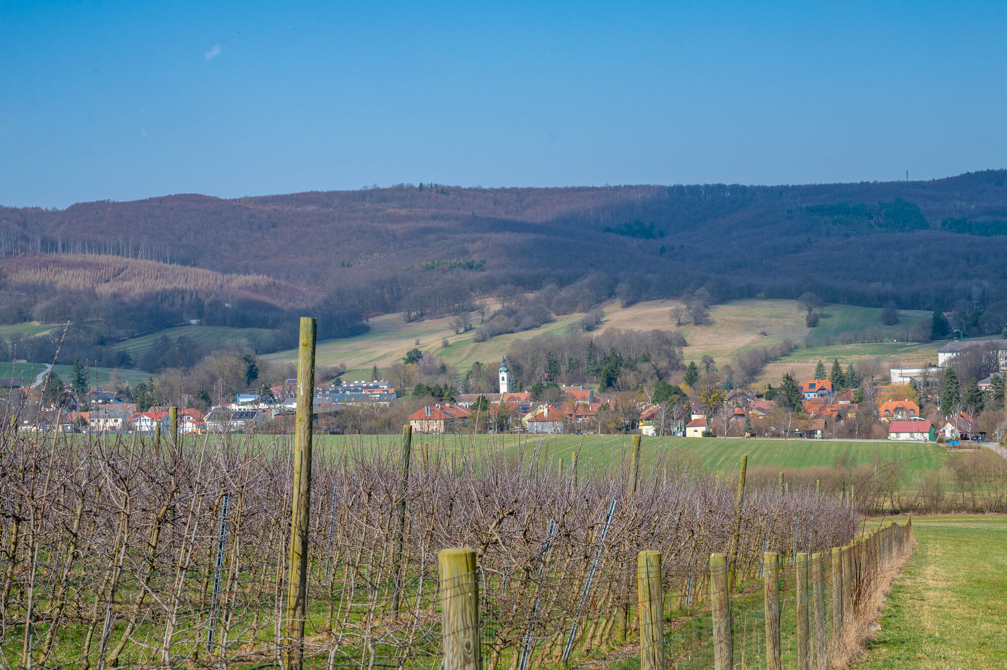
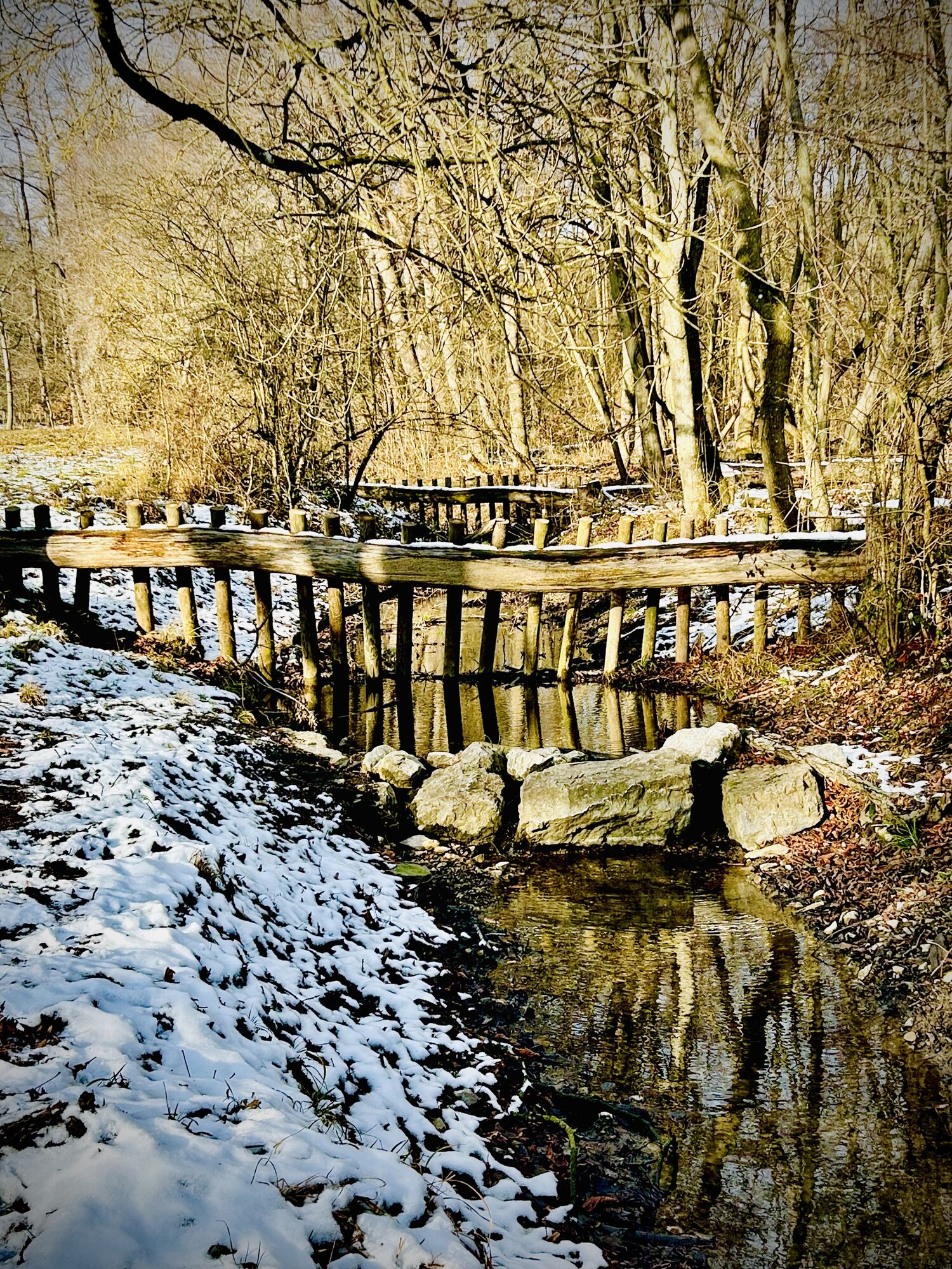
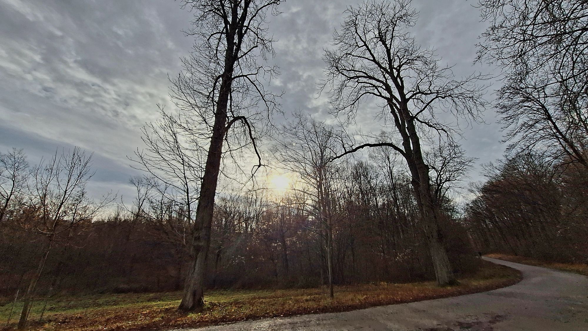
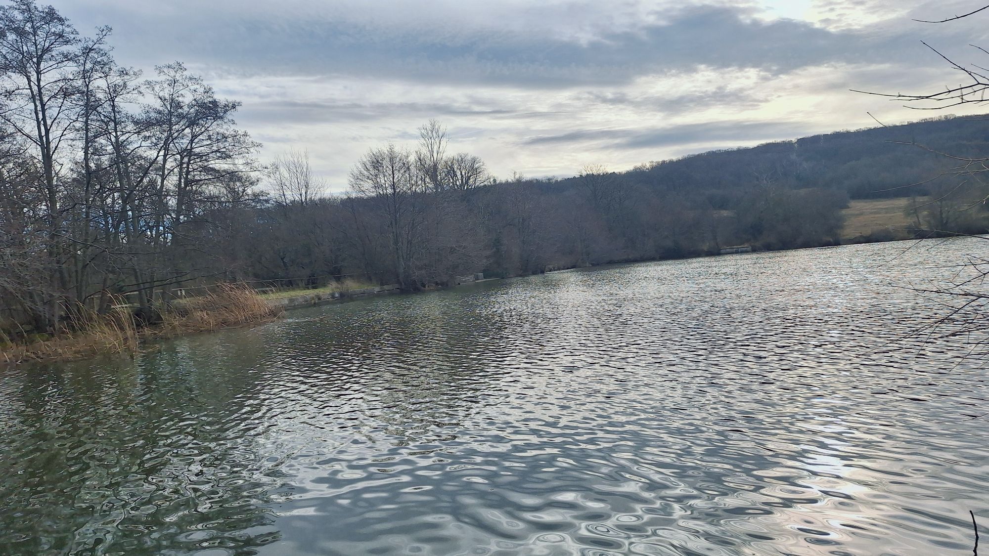
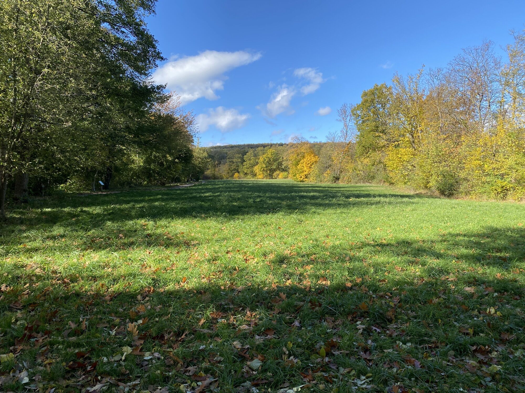
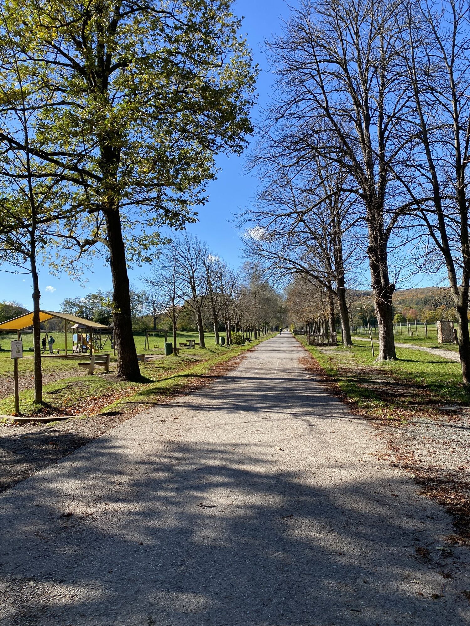
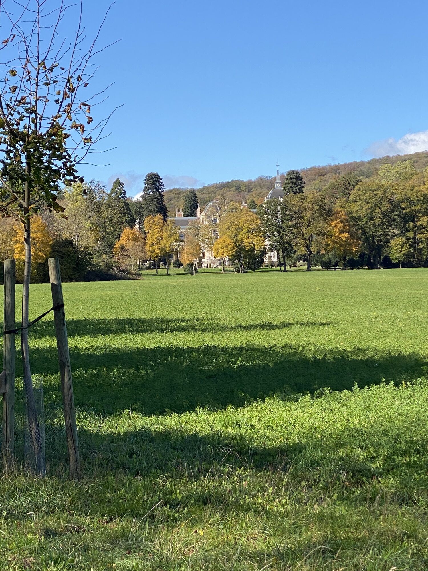
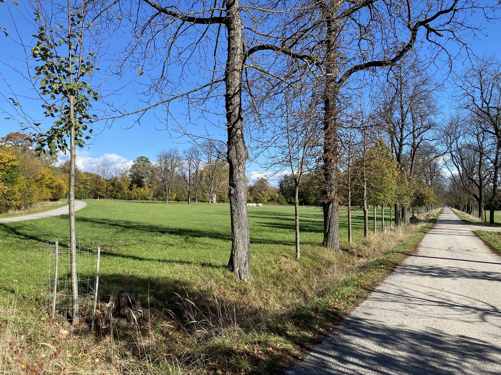
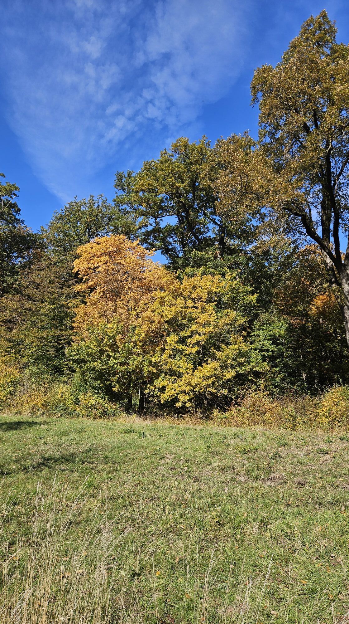
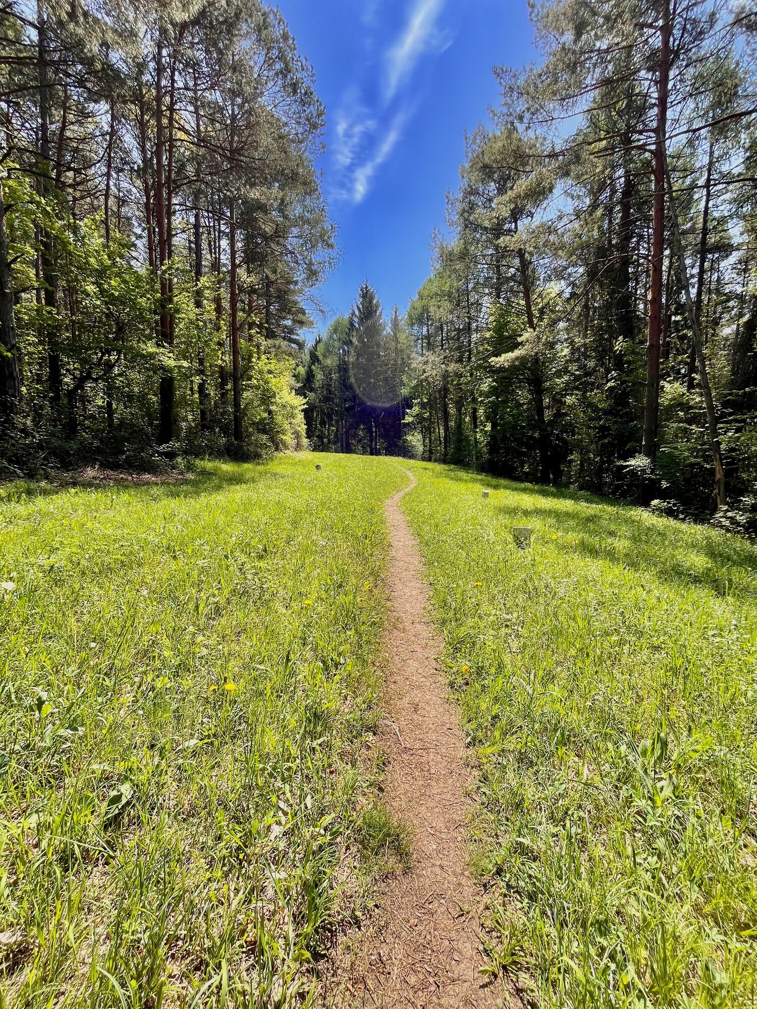
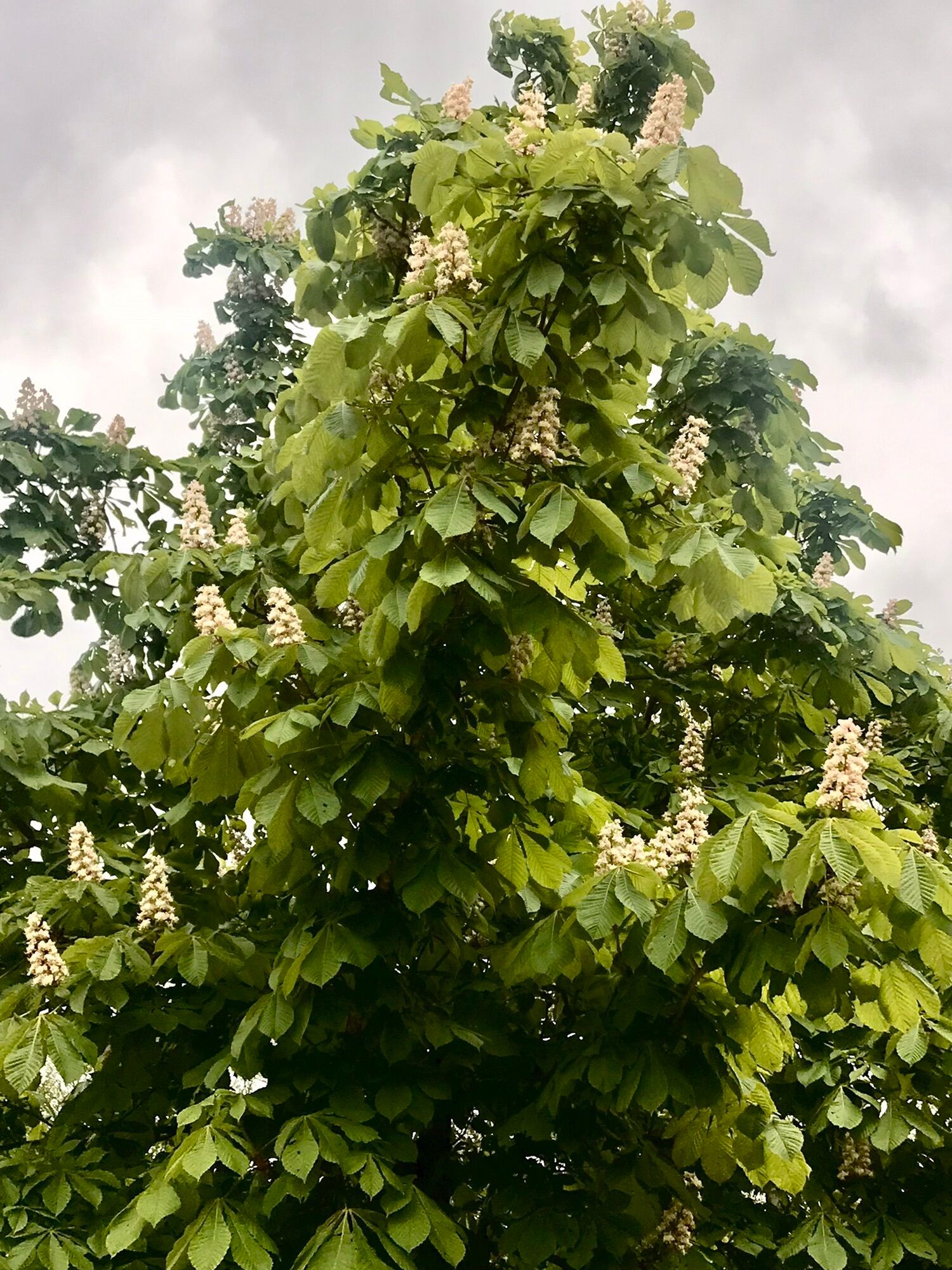
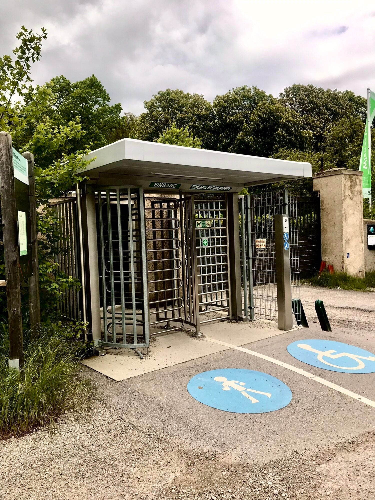

A beautiful and peaceful hike, perfect for those seeking solitude in nature. The route begins at the Laab im Walde Tiergartenstraße bus stop (bus line 253 from Wien Liesing, running once an hour). From...
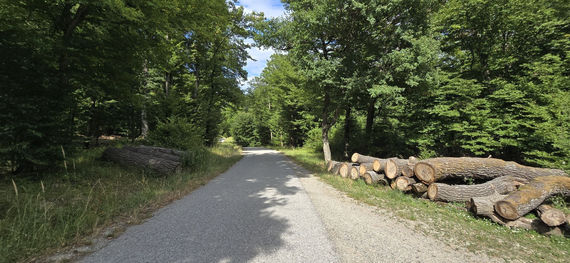
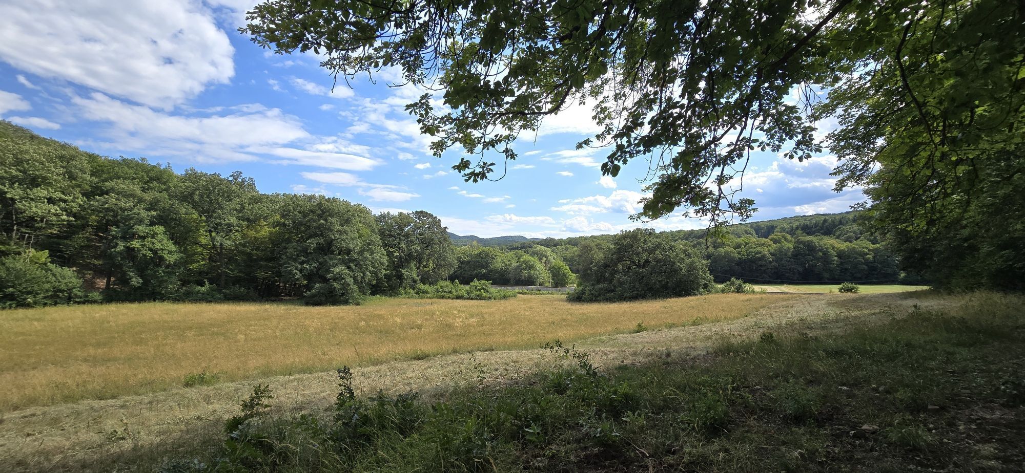
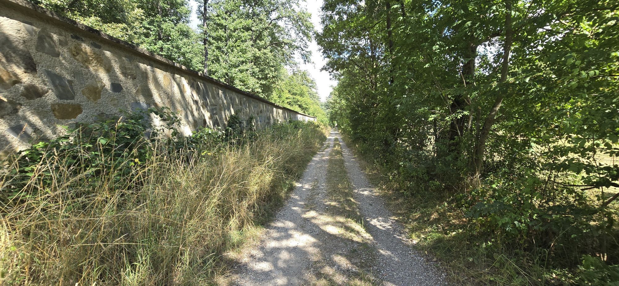
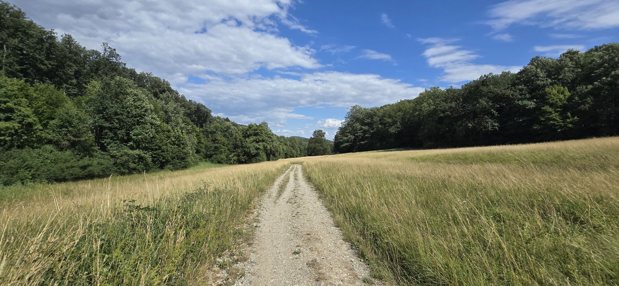
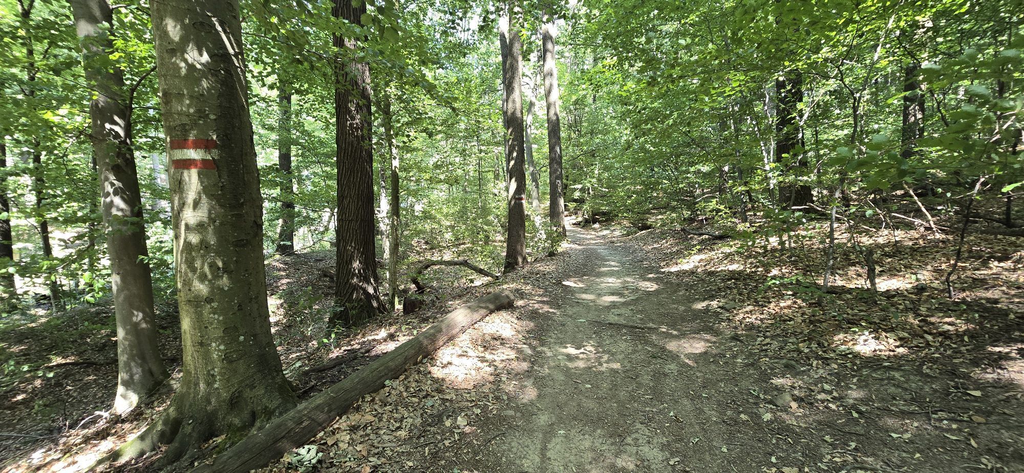
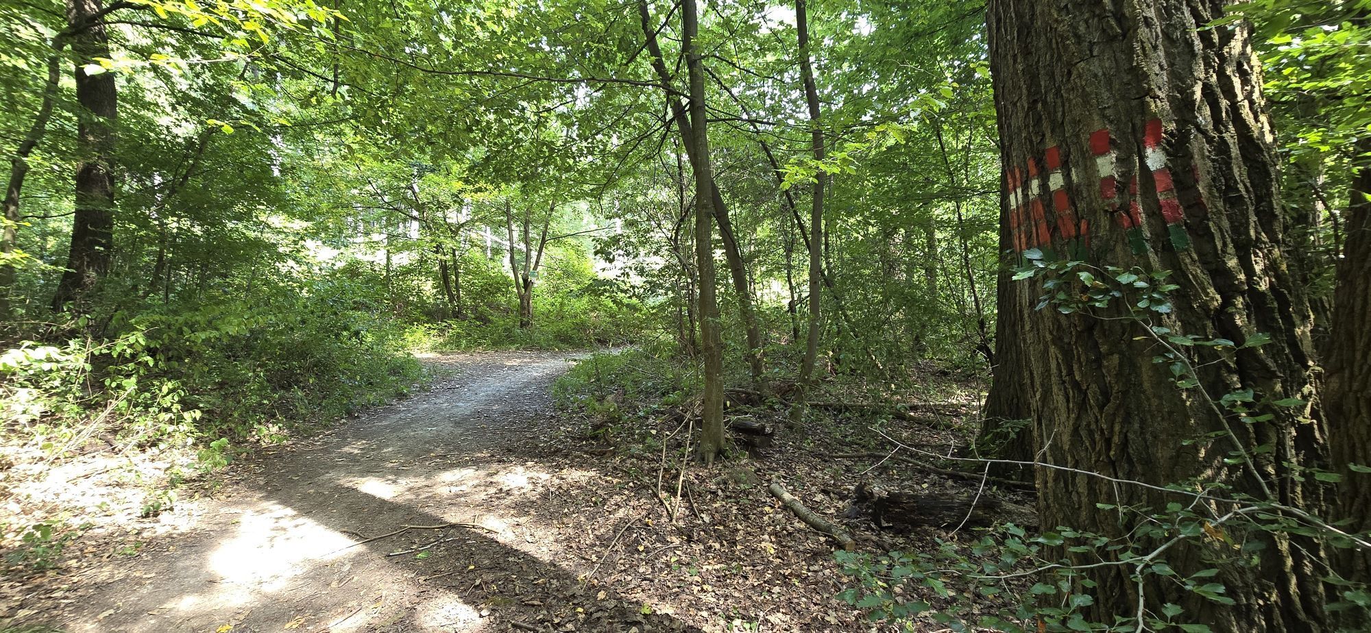
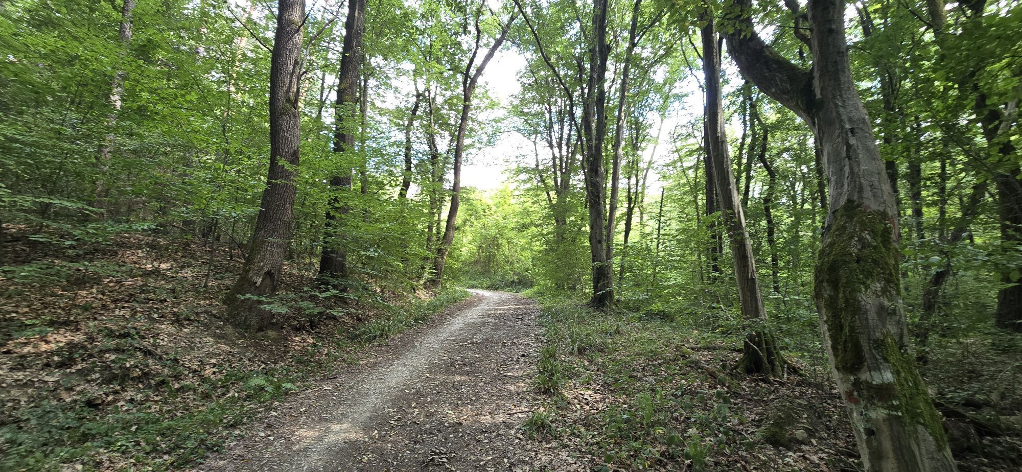
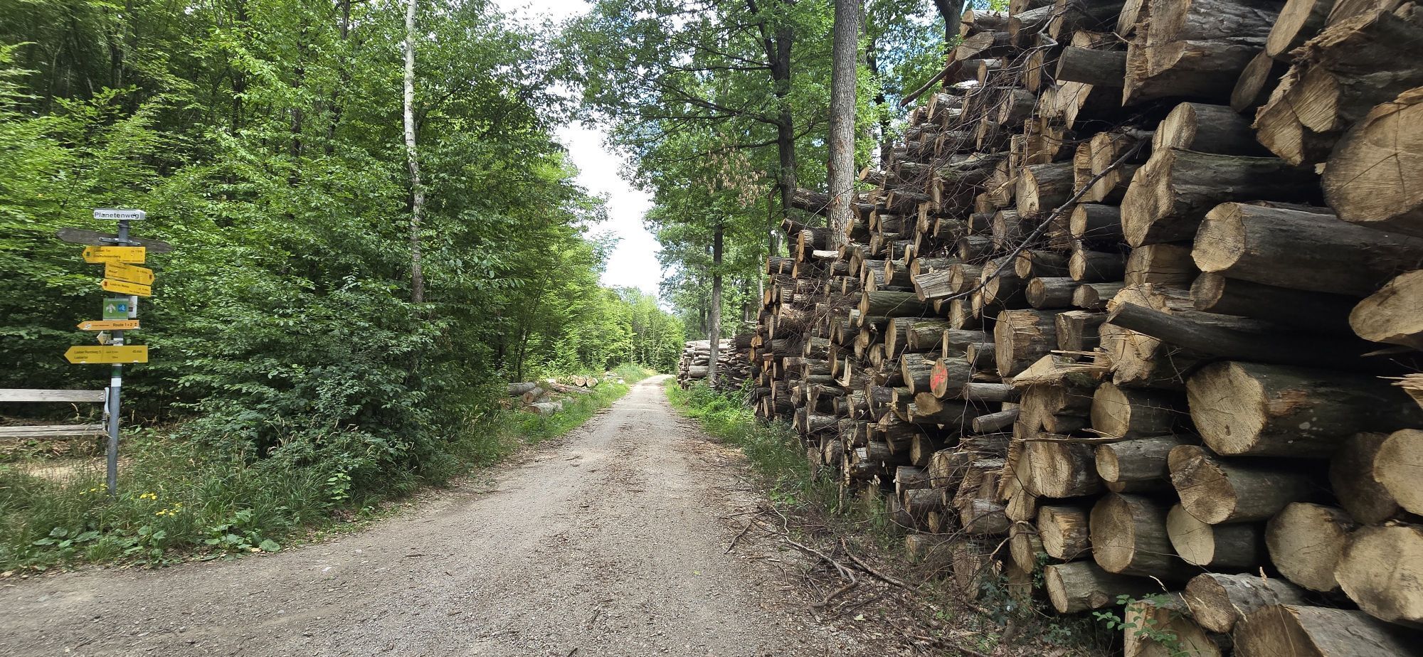
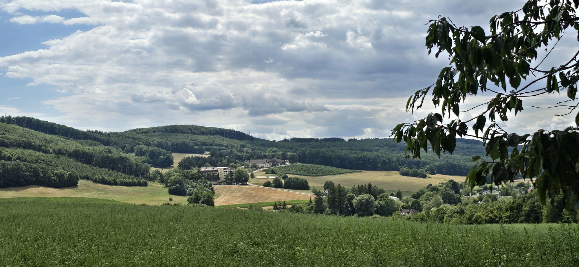
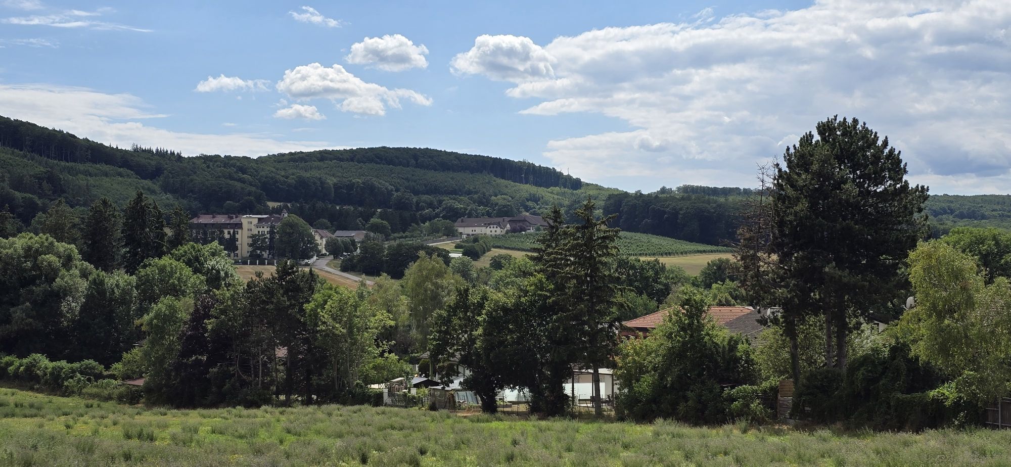
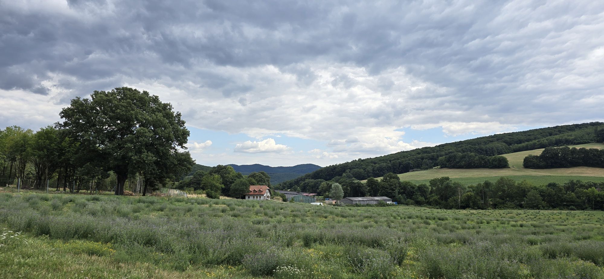
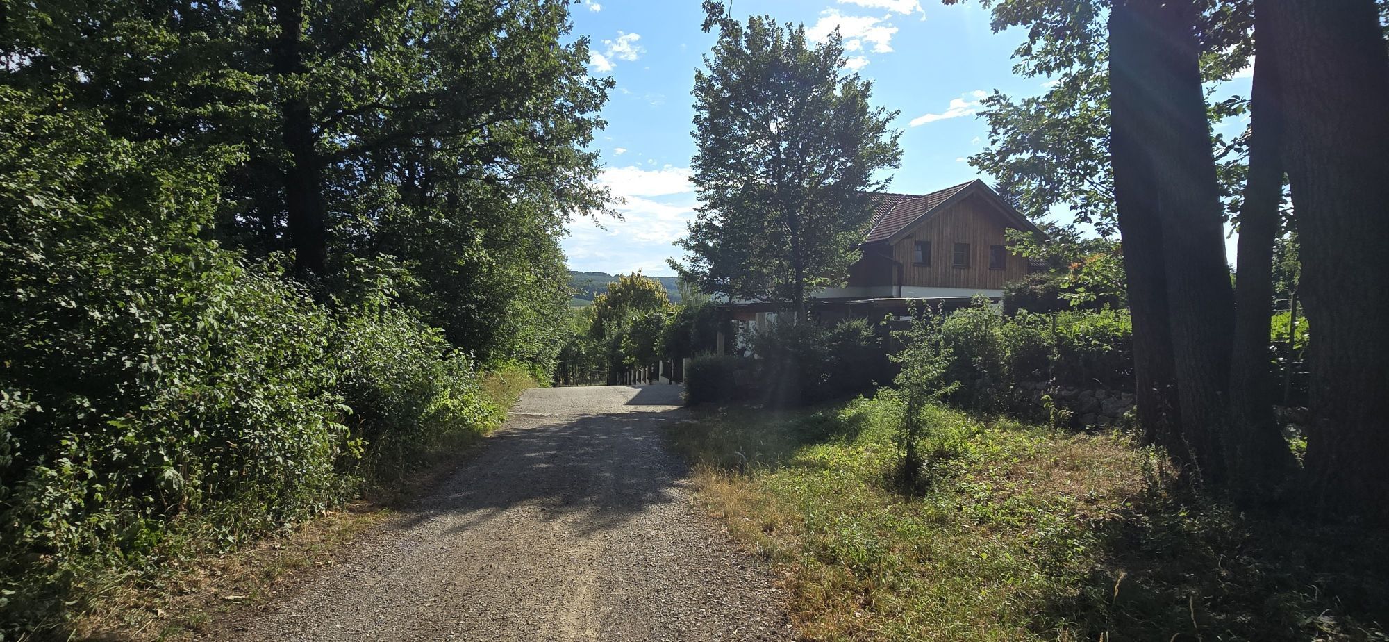
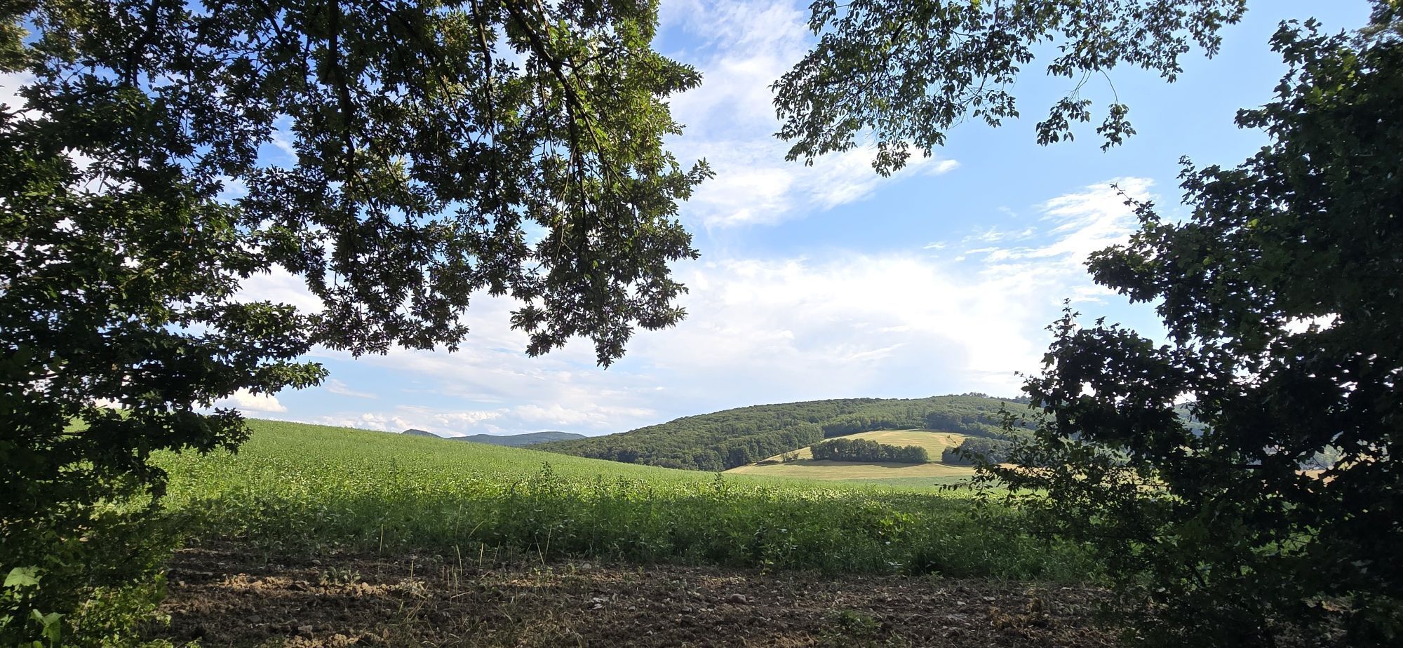
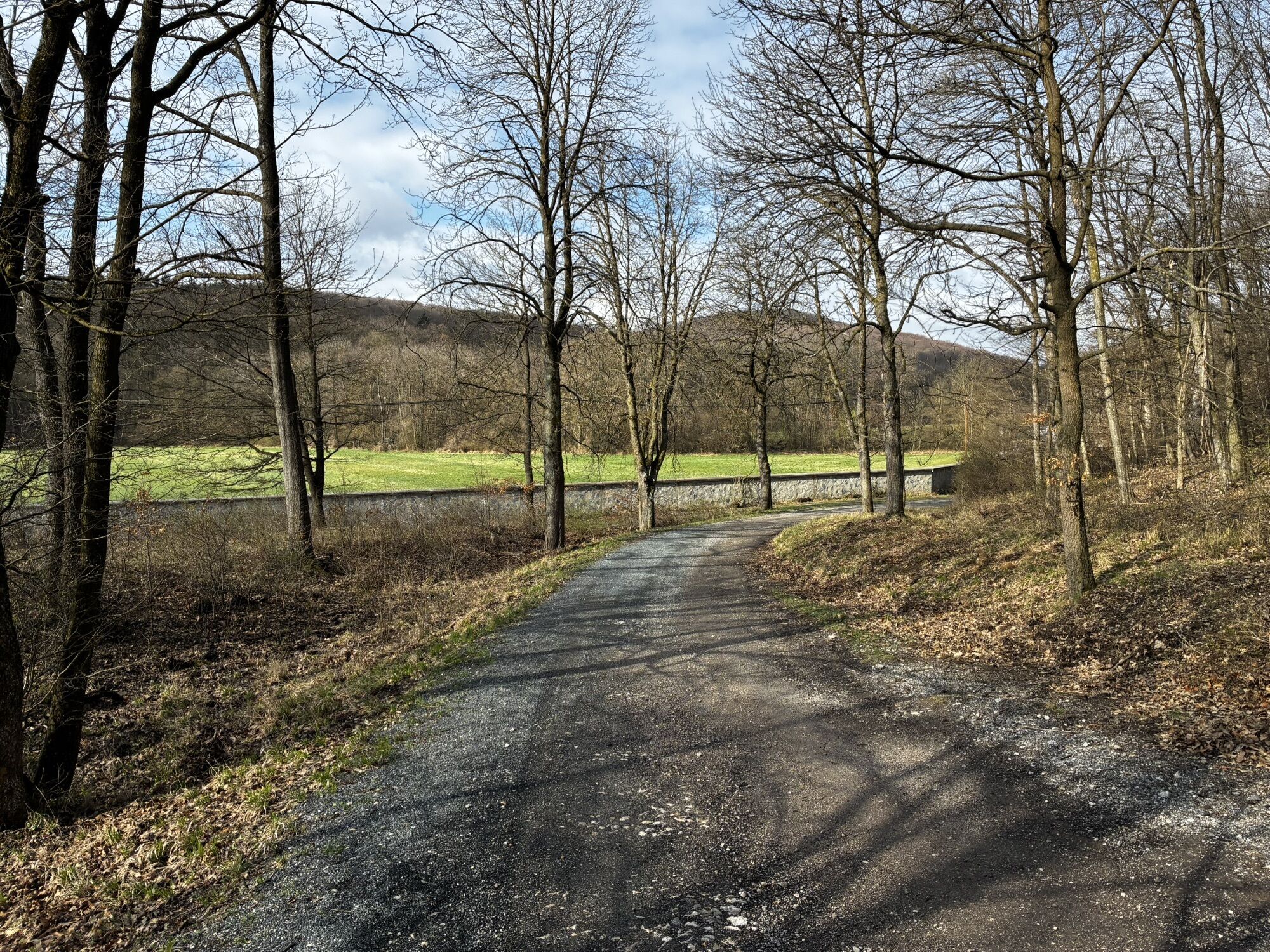
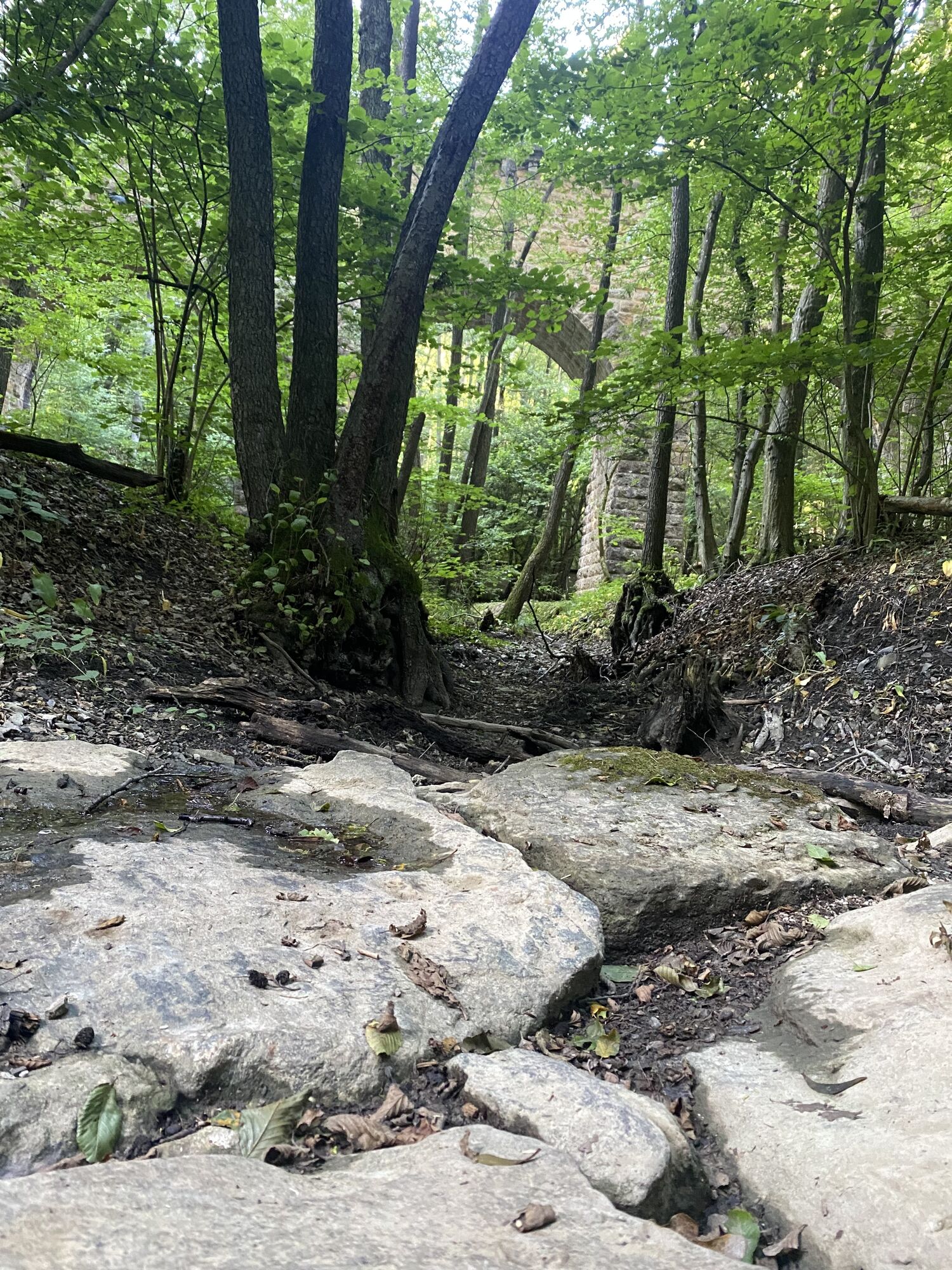
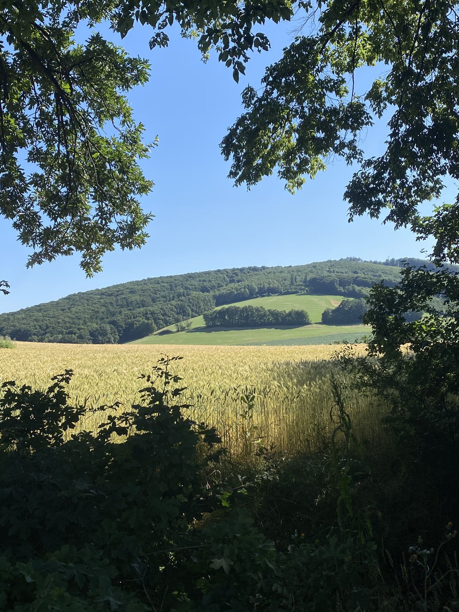
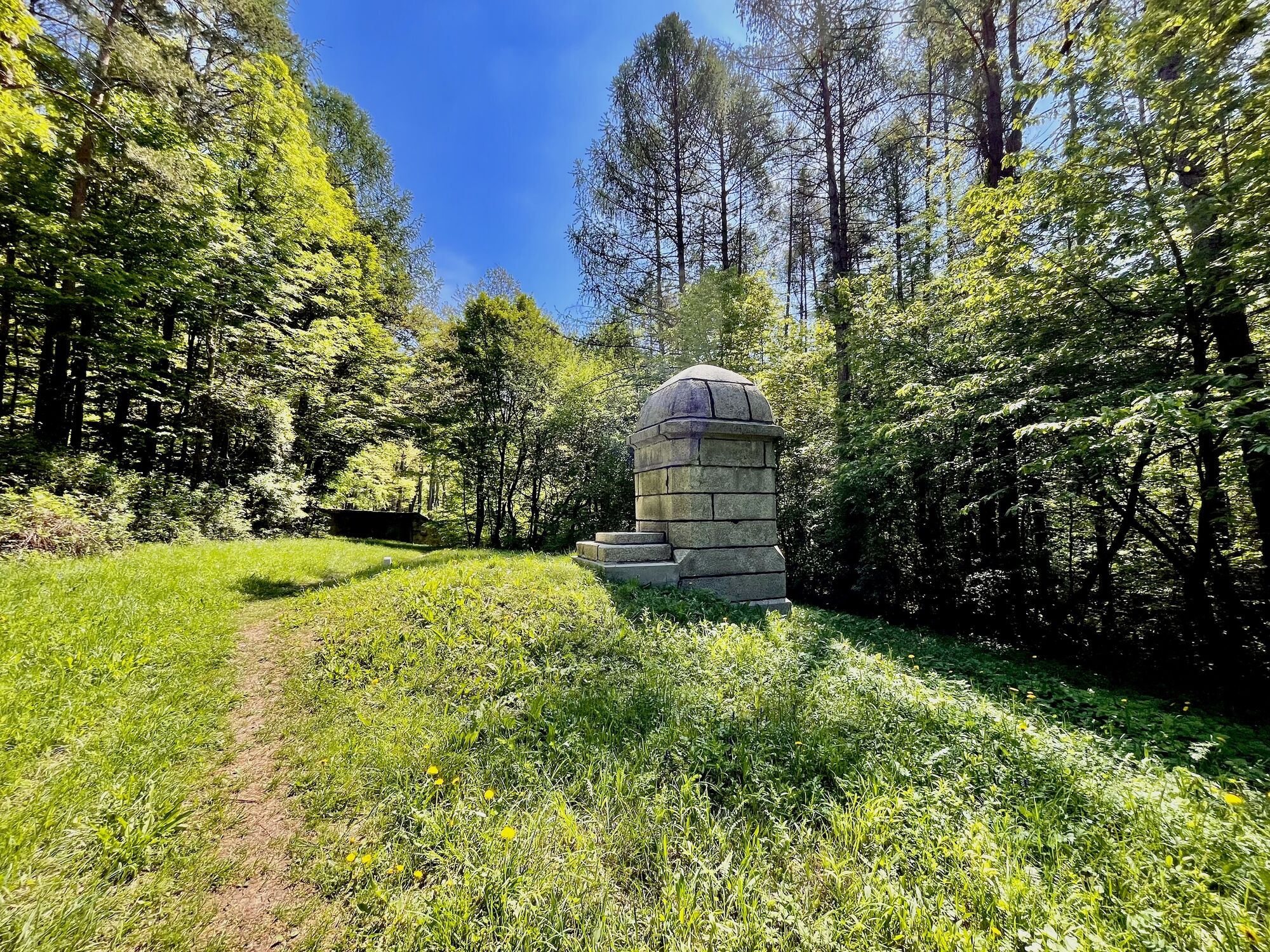
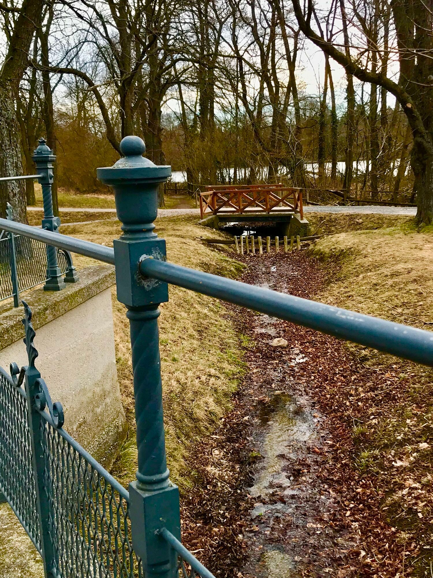
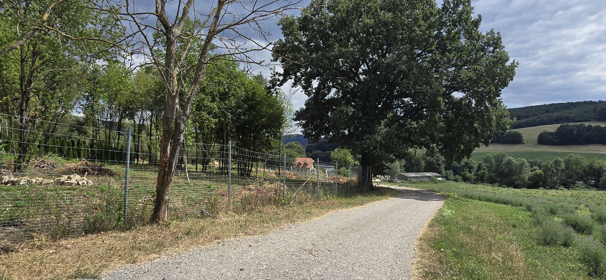
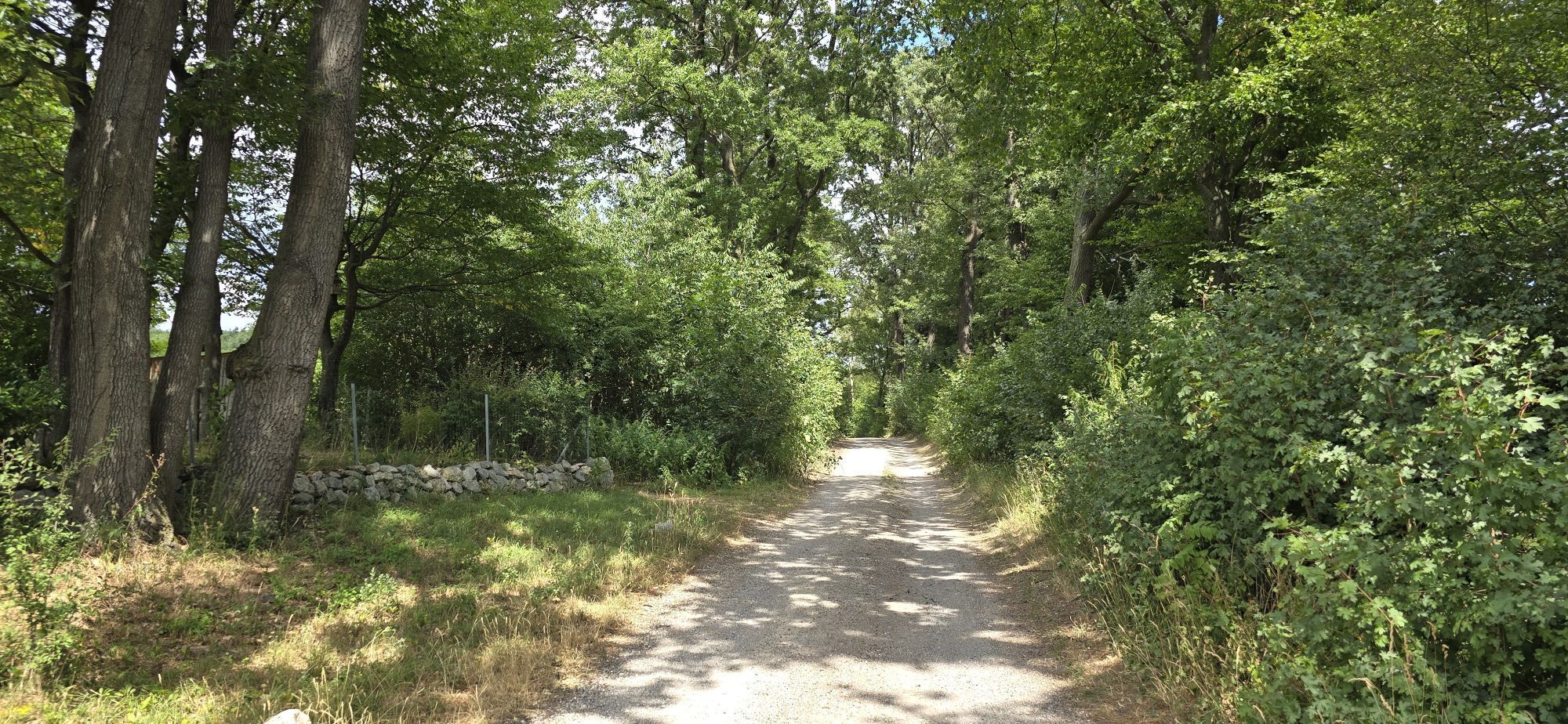
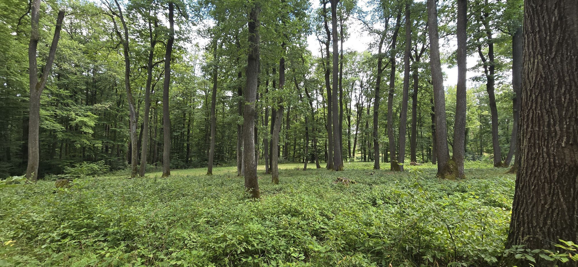
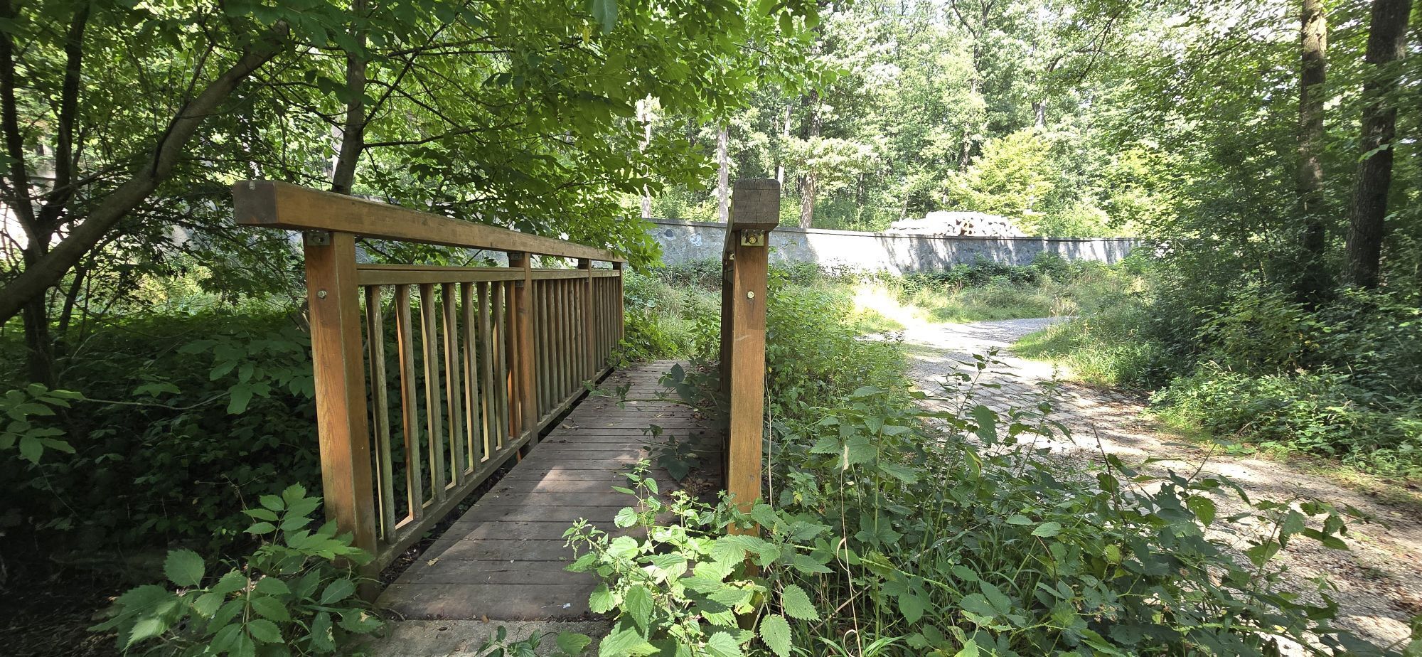
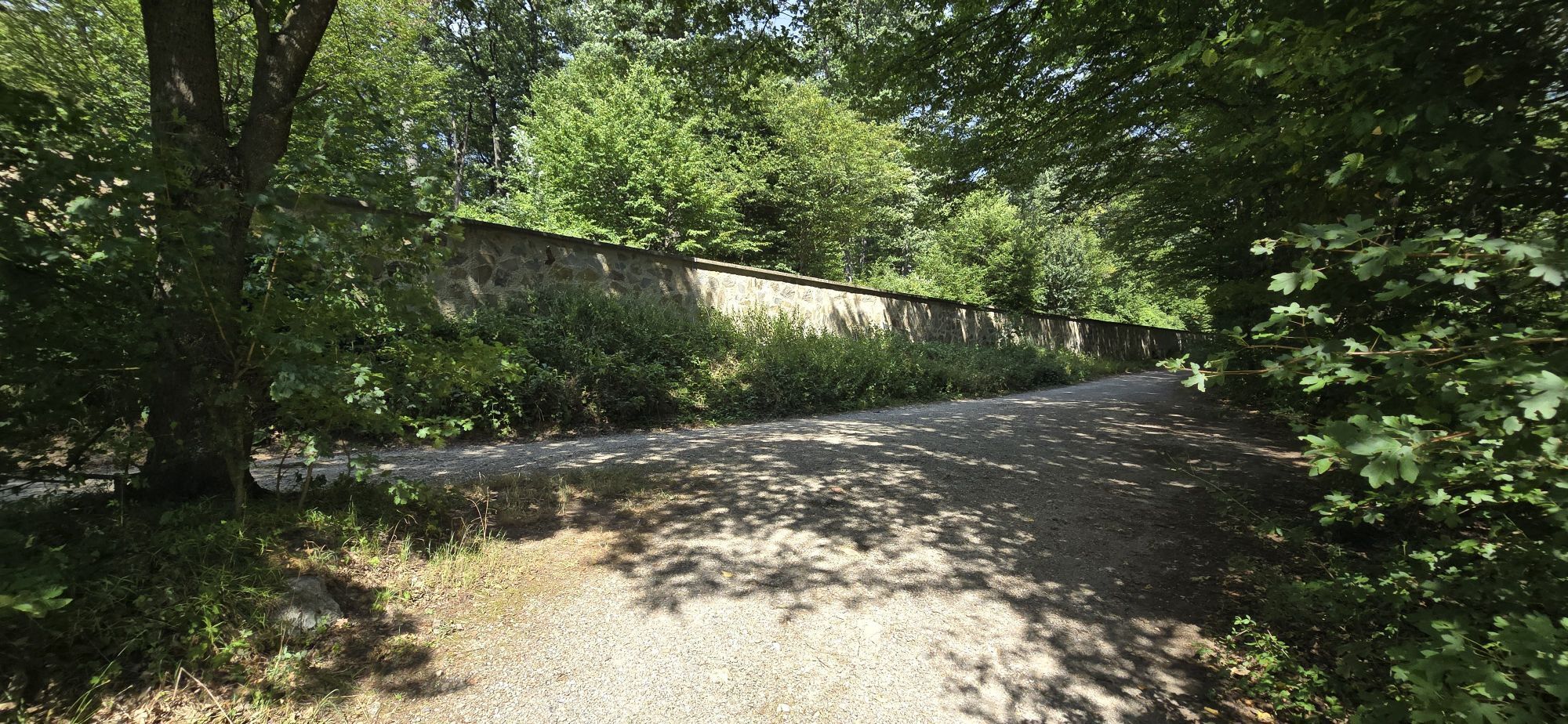
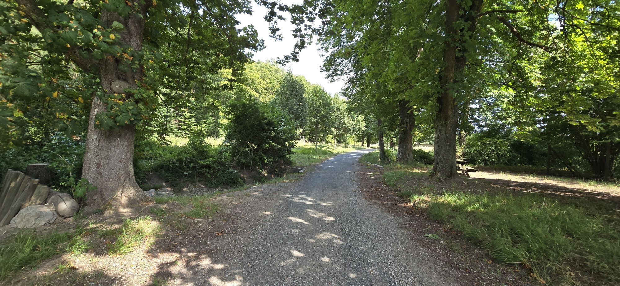
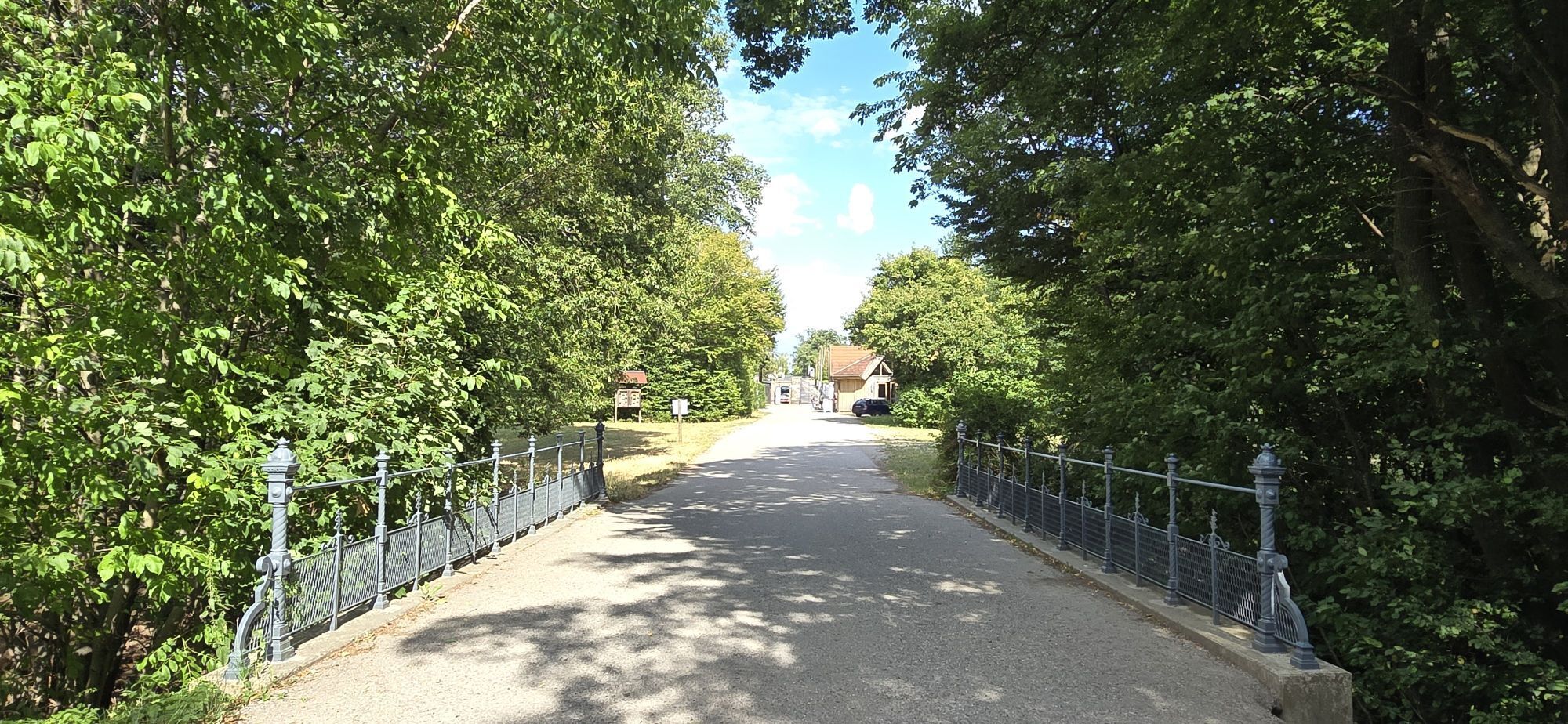
A beautiful and peaceful hike, perfect for those seeking solitude in nature. The route begins at the Laab im Walde Tiergartenstraße bus stop (bus line 253 from Wien Liesing, running once an hour). From here, the trail leads into a rolling hilly landscape with wide green fields, offering a wonderful view of the local health resort (Kurzentrum) in the valley before entering the dense woods of the Wienerwald.The path is flat, shaded, and very easy to walk, marked with the traditional Austrian red-white-red trail blazes on the trees. A key highlight along the way is a charming small wooden bridge that leads directly to the historic stone wall of the Lainzer Tiergarten. The entire stretch from Laab im Walde to Gütenbachtor is incredibly quiet—allowing you to enjoy the trail entirely to yourself.
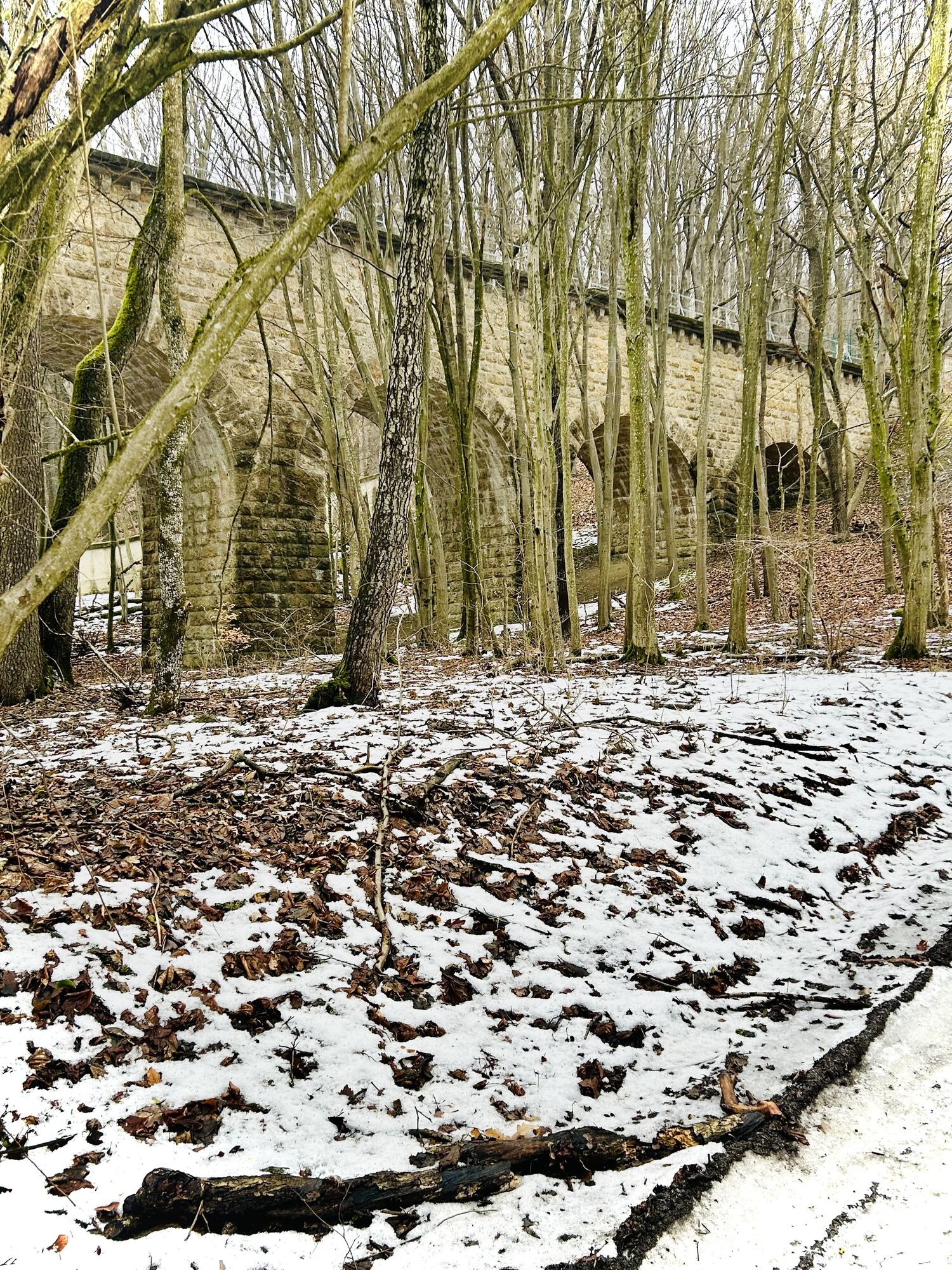
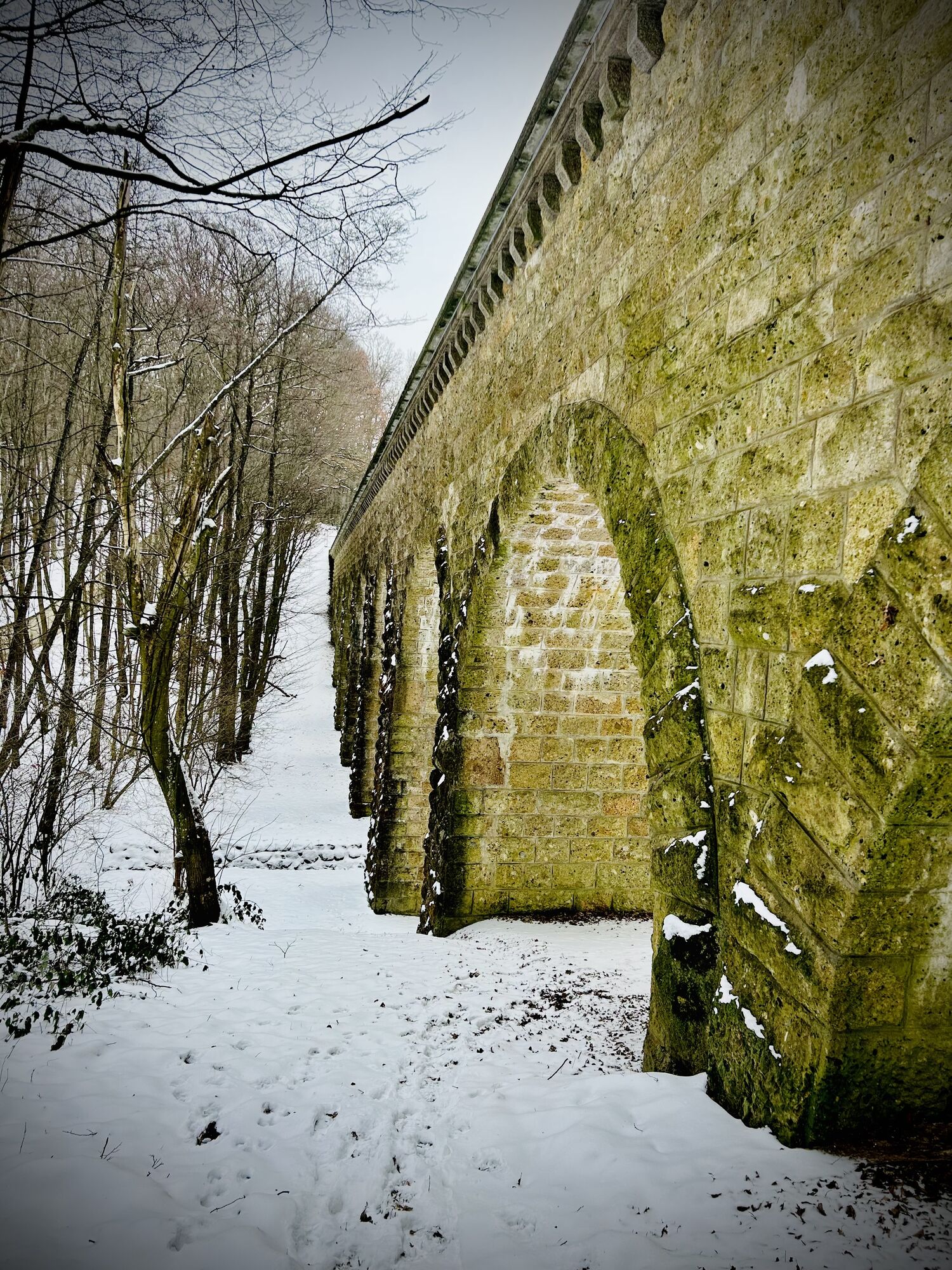
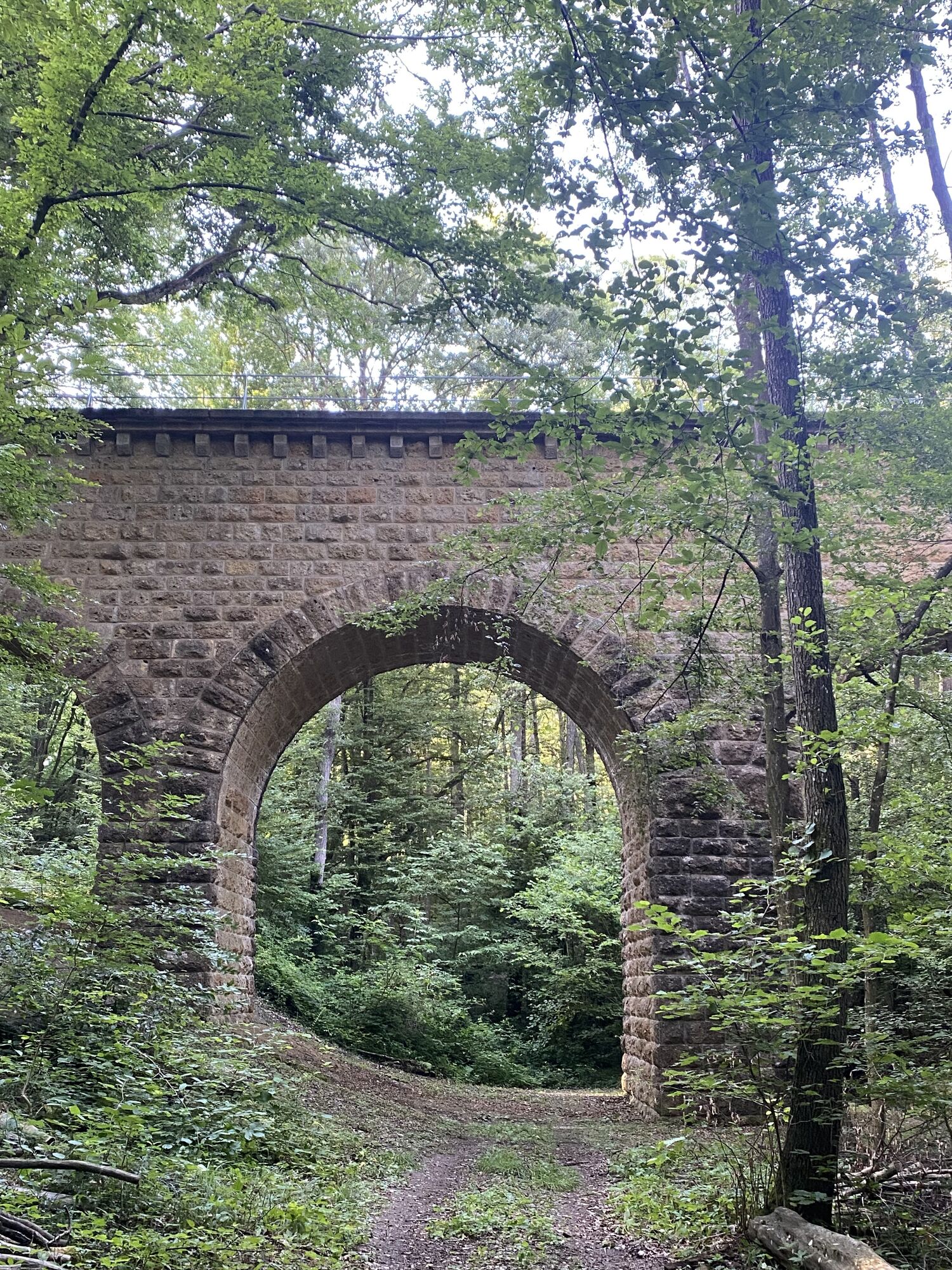
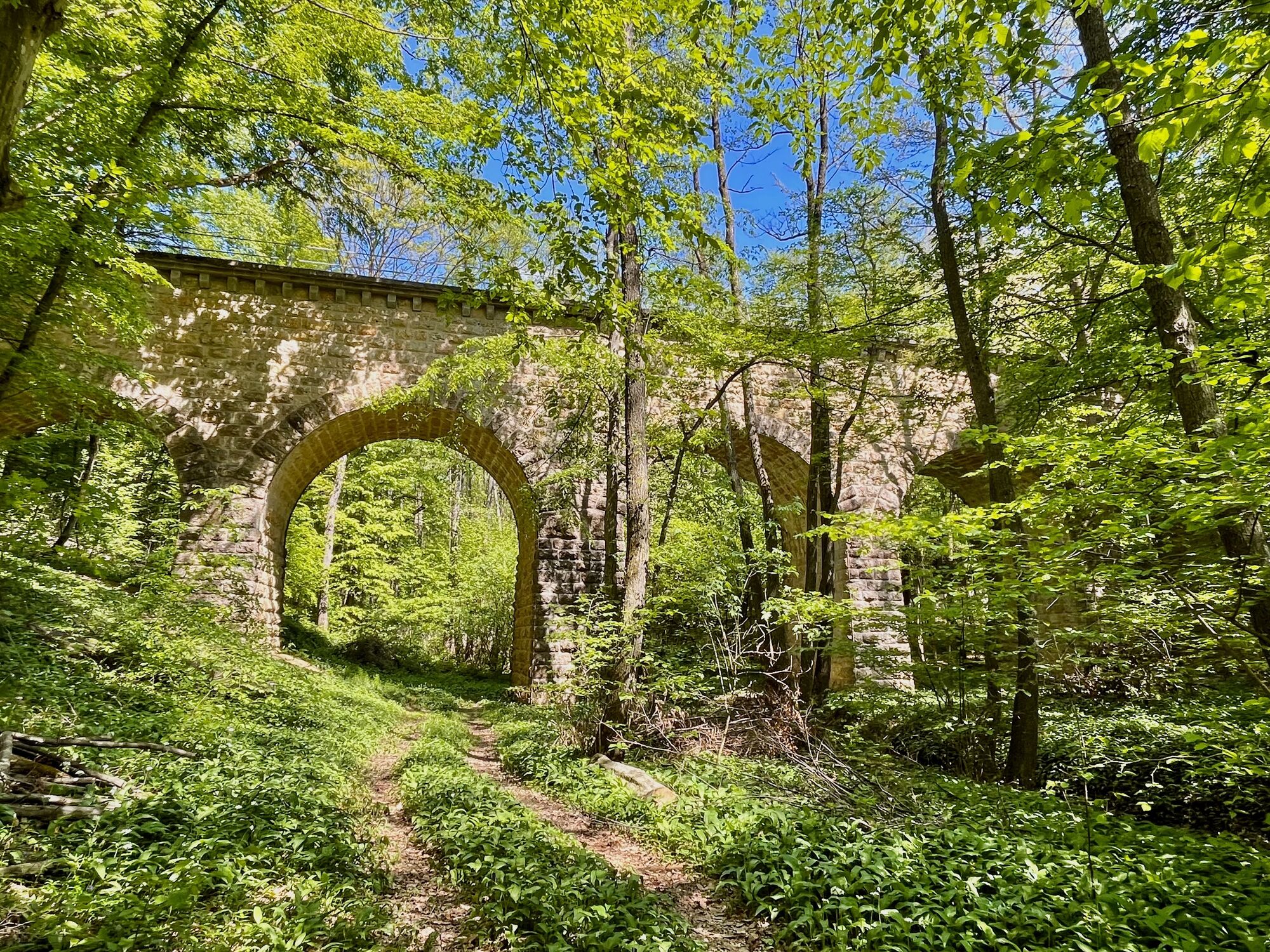
IMPORTANT WARNING & CLARIFICATION (Based on real experience):Many online travel blogs and AI assistants falsely claim that you can see a historic aqueduct on the direct path along the outer wall between Gütenbachtor and Laaber Tor. This is highly inaccurate! There is no aqueduct on this direct section. The frequently mentioned Reisingergrabenäquadukt is located on a completely different, detached path that cuts through dangerous private property with no public trails
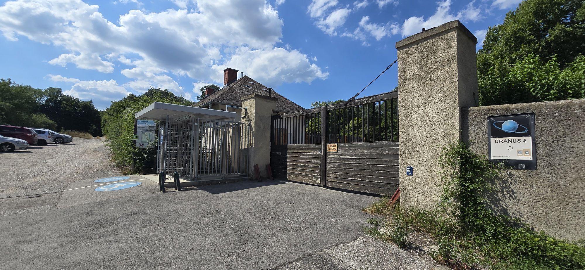
Recommended return route:Upon reaching Gütenbachtor, instead of walking along the sunny, paved Gütenbachstraße to catch a bus back to Liesing, it is highly recommended to pass through the gate and walk inside the Lainzer Tiergarten towards Lainzer Tor. This alternative route is only about 1 km longer, but it rewards you with shaded, beautiful trails inside the nature reserve and is completely safe.

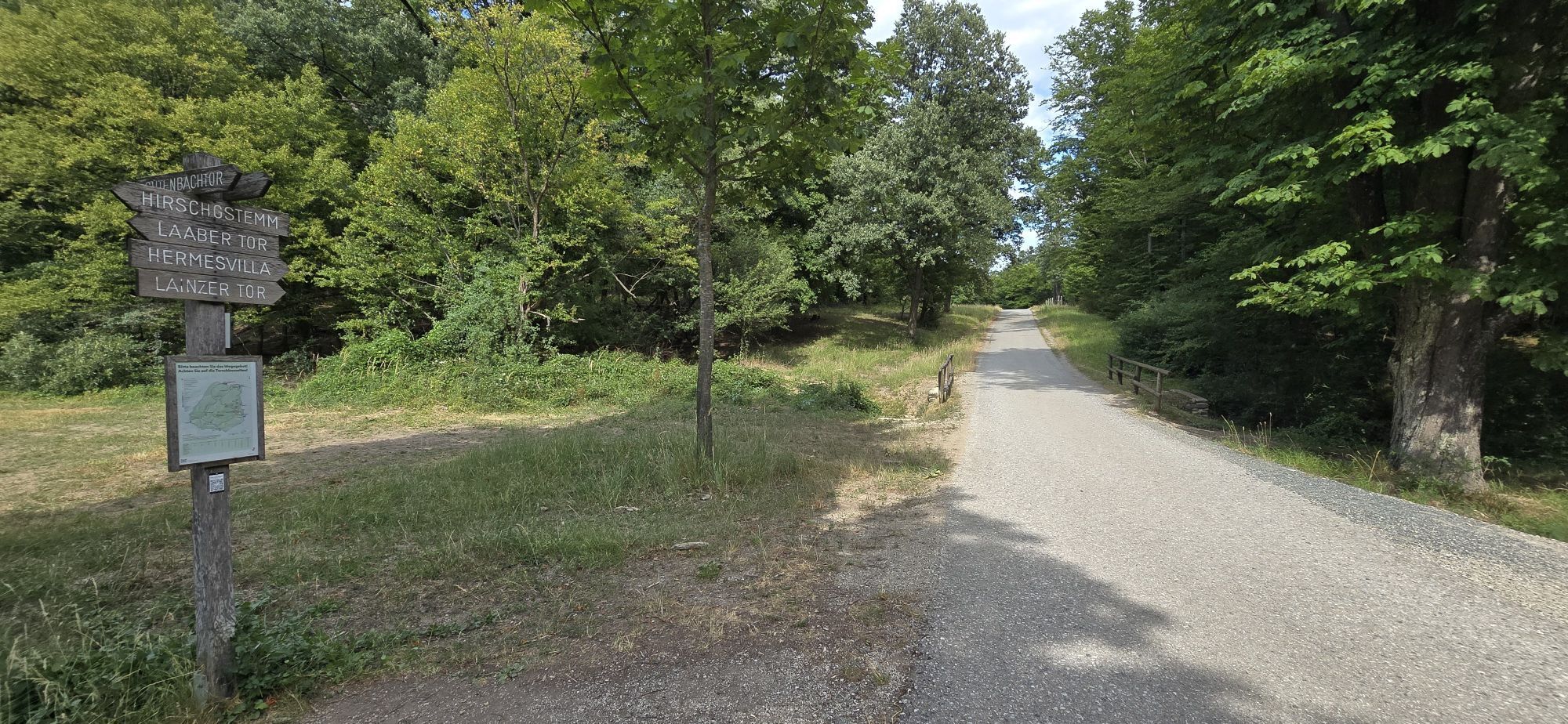
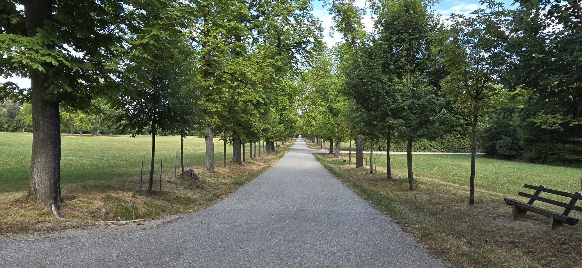

Oui
Oui
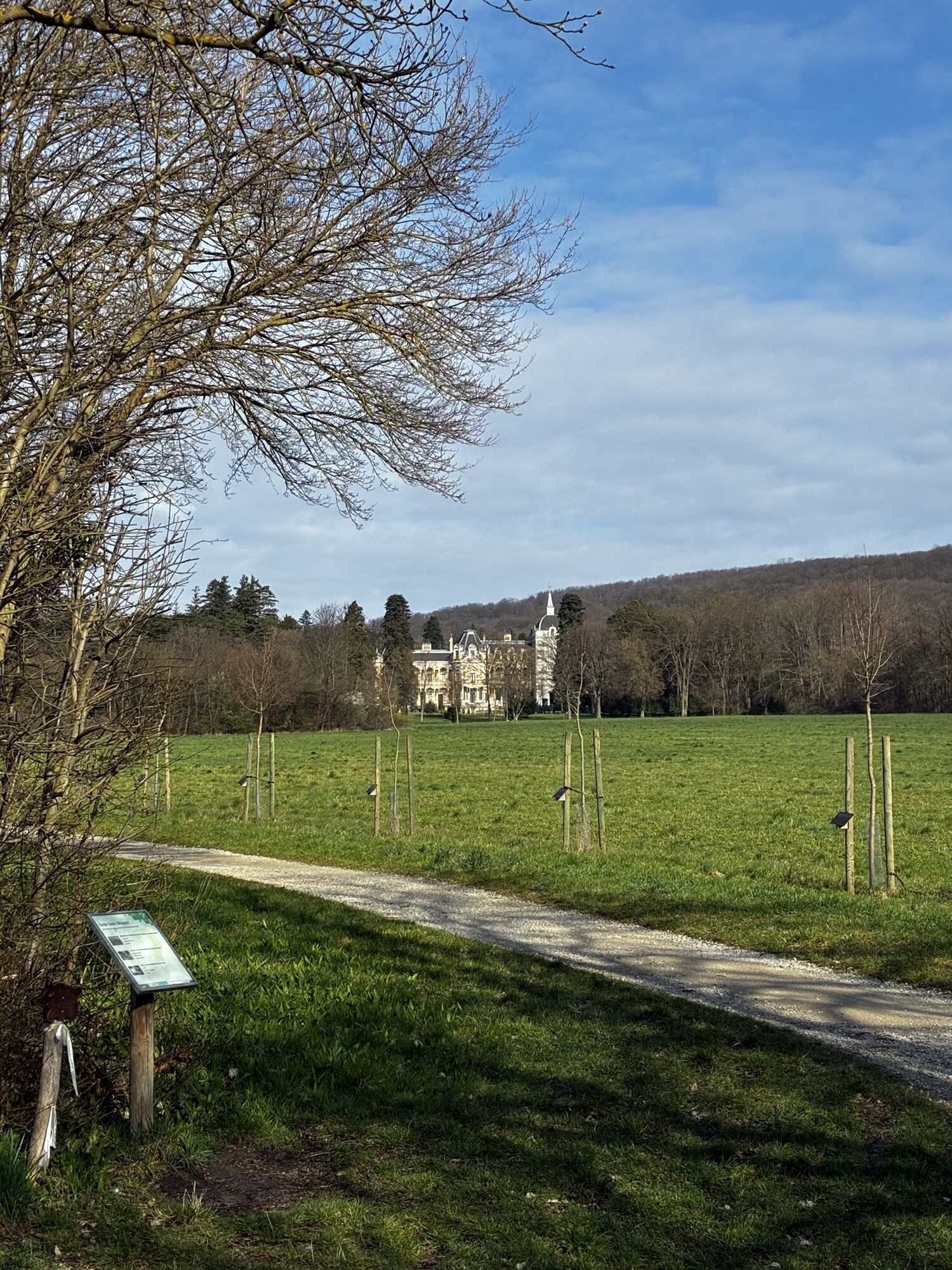
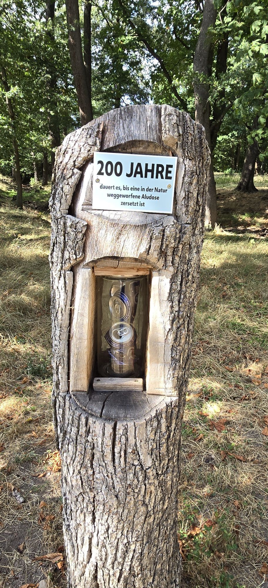
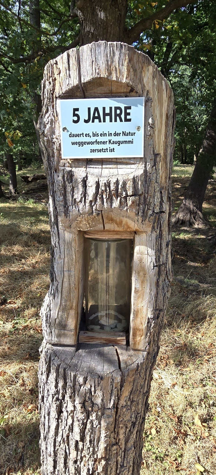
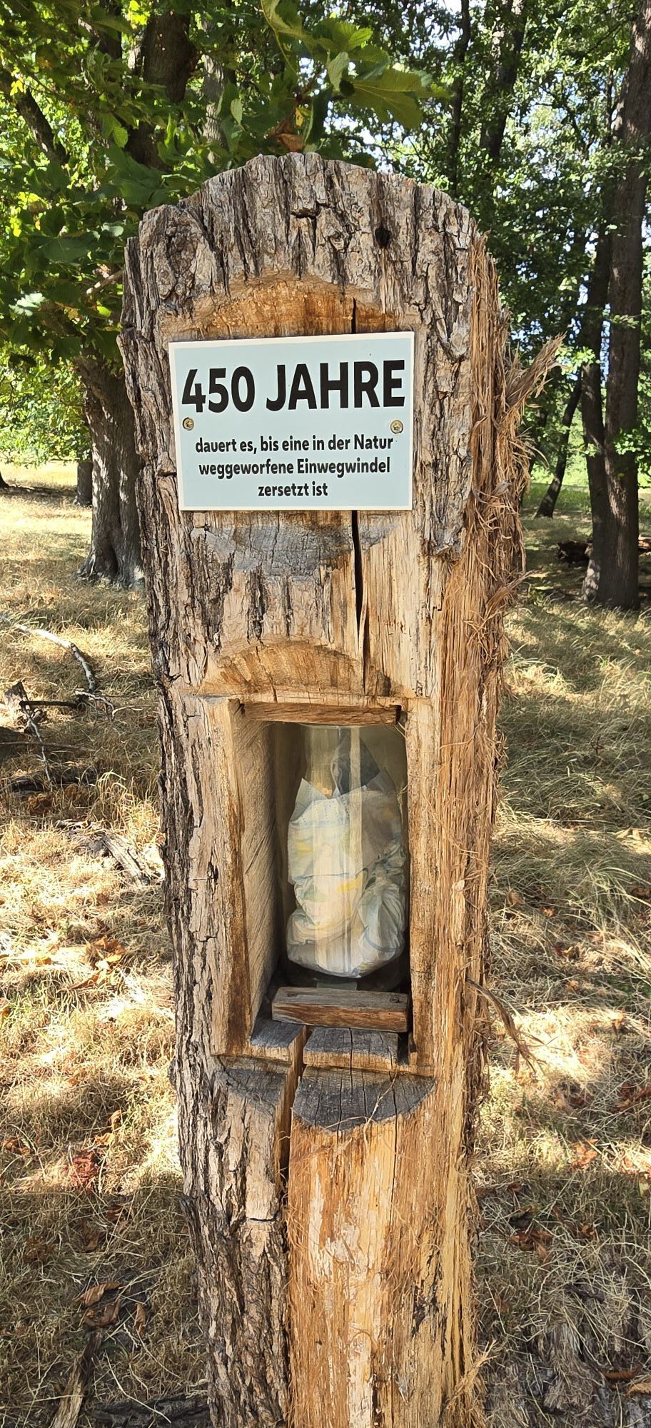
Naturlehrpfad im Lainzer Tiergarten: Ein wichtiger Reminder, dass Müll bis zu 200 Jahre zum Verrotten braucht.
Nature trail in Lainzer Tiergarten: An important reminder that waste takes up to 200 years to decompose in nature.
Obtenez un aperçu Toujours en direct avec plus de 9.500 webcams. En tant qu'utilisateur Pro, vous pouvez désormais voir les webcams correspondantes à de nombreuses randonnées dans l'application de randonnées de bergfex. Vous pouvez ainsi voir directement les conditions actuelles.Parcours populaires à proximité
- 4,9
Stadtwanderweg #2, Hermannskogel, Top of Vienna 😆
facileRandonnée 11,1 km - 4,8
Kalenderberg und Burg Liechtenstein
facileRandonnée 8,48 km - 4,7
Königstetten-Figlwarte-Hainbuch-Königstetten
moyenRandonnée 9,30 km - 4,6
Abend/Nachtwanderung Teufelstein
facileRandonnée 7,15 km - 4,6
Naturpark Sparbach
facileRandonnée 7,08 km - 4,6
Stadtwanderweg 6 / Zugberg - Maurer Wald (lt. Beschilderung)
facileRandonnée 13,3 km - 4,6
Stadtwanderweg 4
facileRandonnée 8,48 km - 4,6
Stadtwanderweg 7 - Laaer Berg / lt. Beschilderung
facileRandonnée 14,2 km - 4,5
Landschaftspark Liechtenstein - Angelos Touren
facileRandonnée 6,70 km - 4,6
Rundwanderung Gablitz Gemeindeamt - Troppberg - Rabenstein - Gablitz Gemeindeamt
facileRandonnée 12 km
Randonnée et suivi


Ne manquez pas les offres et l'inspiration pour vos prochaines vacances
Votre adresse électronique a été ajouté à la liste de diffusion.





