


Nibelungengau long-distance hiking trail
Photos de nos utilisateurs
-
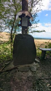
 © WrachrisCréé le 18.04.2026
 -

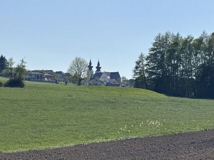
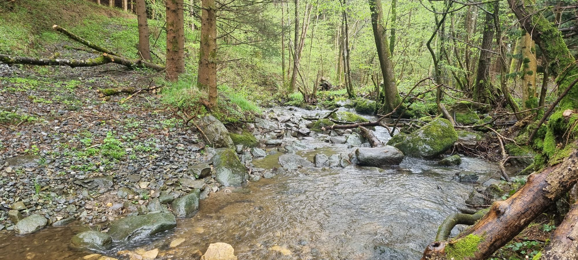
 © Sebastian HütterCréé le 05.04.2026
 -
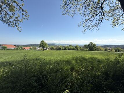
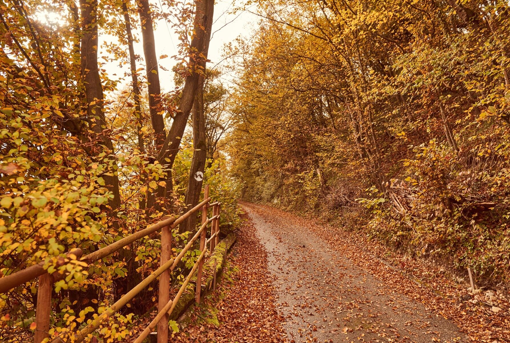
 © Sebastian HütterCréé le 02.01.2026
 -
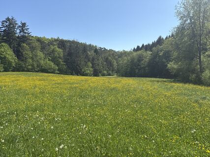
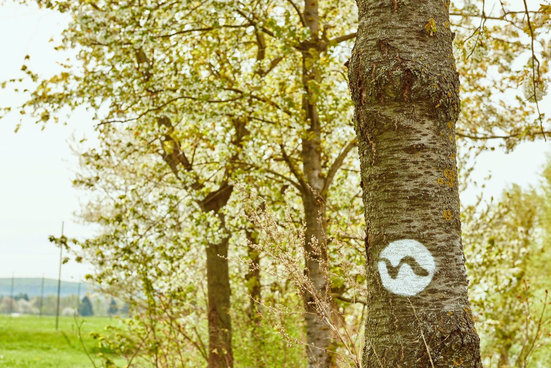
 © Sebastian HütterCréé le 02.01.2026
 -
 © Sebastian HütterCréé le 02.01.2026
 -
 © Franz SchönbichlerCréé le 28.12.2025
 -
 © Sebastian HütterCréé le 26.12.2025
 -
 © zirberlCréé le 23.09.2025
 -
 © zirberlCréé le 23.09.2025
 -
 © Oedendorfer MartinCréé le 14.07.2025
 -
 © Oedendorfer MartinCréé le 14.07.2025
 -
 © Franz SchönbichlerCréé le 17.06.2025
 -
 © Franz SchönbichlerCréé le 17.06.2025
 -
 © Franz SchönbichlerCréé le 17.06.2025
 -
 © Franz SchönbichlerCréé le 17.06.2025
 -
 © Franz SchönbichlerCréé le 17.06.2025
 -
 © F. Shirazi-JoskaCréé le 28.04.2025
 -
 © F. Shirazi-JoskaCréé le 28.04.2025
 -
 © F. Shirazi-JoskaCréé le 28.04.2025
 -
 © Anton SacherCréé le 27.04.2025
 -
 © Anton SacherCréé le 27.04.2025
 -
 © Anton SacherCréé le 27.04.2025
 -
 © Anton SacherCréé le 27.04.2025
 -
 © Anton SacherCréé le 27.04.2025
 -
 © Anton SacherCréé le 27.04.2025
 -
 © Anton SacherCréé le 27.04.2025
 -
 © Anton SacherCréé le 27.04.2025
 -
 © BellouCréé le 27.04.2025
 -
 © BellouCréé le 27.04.2025
 -
 © koessler elisabethCréé le 10.04.2025
 -
 © koessler elisabethCréé le 10.04.2025
 -
 © Hubert MartinCréé le 30.03.2025
 -
 © Hubert MartinCréé le 30.03.2025
 -
 © Hubert MartinCréé le 30.03.2025
 -
 © ACréé le 21.07.2021
 -
 © ACréé le 21.07.2021
 -
 © ACréé le 21.07.2021
 -
 © ACréé le 21.07.2021
 -
 © ACréé le 21.07.2021
 -
 © Helmut Tille 1Créé le 12.06.2023
 -
 © Helmut Tille 1Créé le 12.06.2023
 -
 © Helmut Tille 1Créé le 12.06.2023
 -
 © Helmut Tille 1Créé le 12.06.2023
 -
 © Helmut Tille 1Créé le 12.06.2023
 -
 © Helmut Tille 1Créé le 12.06.2023
 -

 © Armin FetzCréé le 24.04.2023
 -
 © Armin FetzCréé le 24.04.2023
 -
 © Armin FetzCréé le 24.04.2023

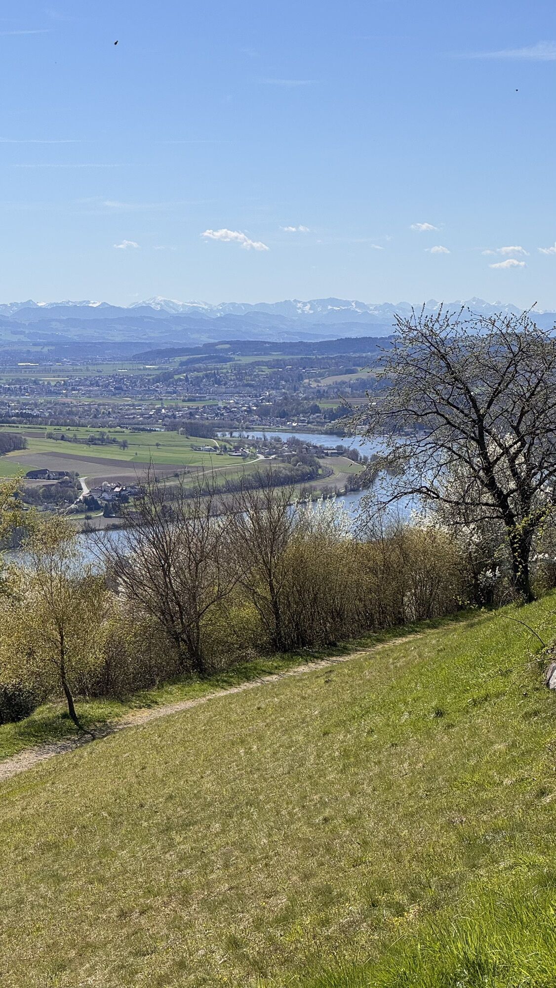


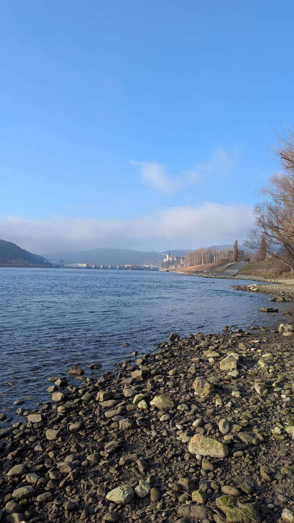

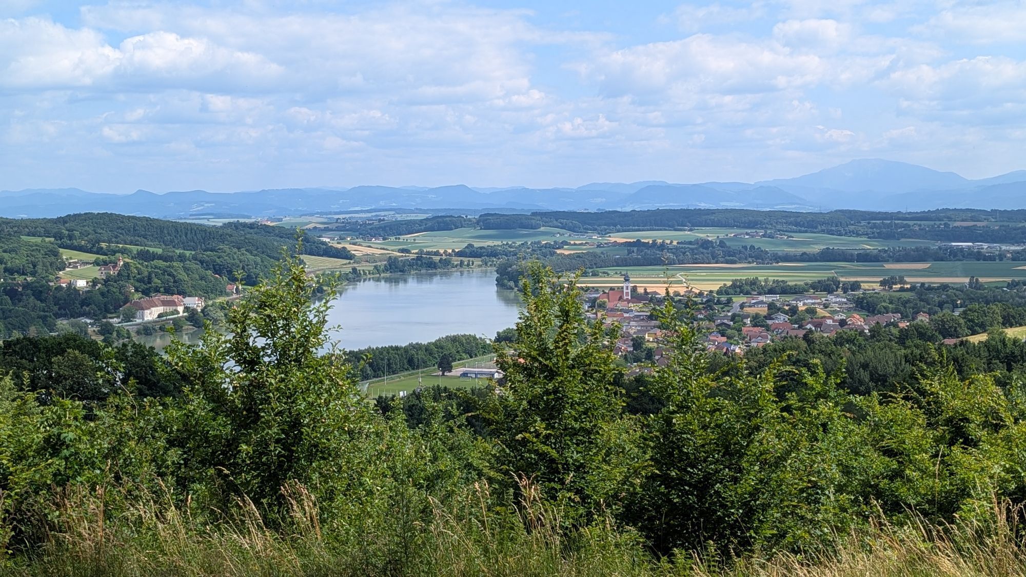


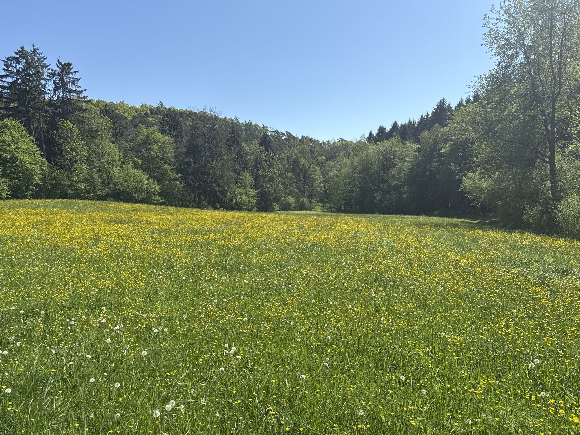

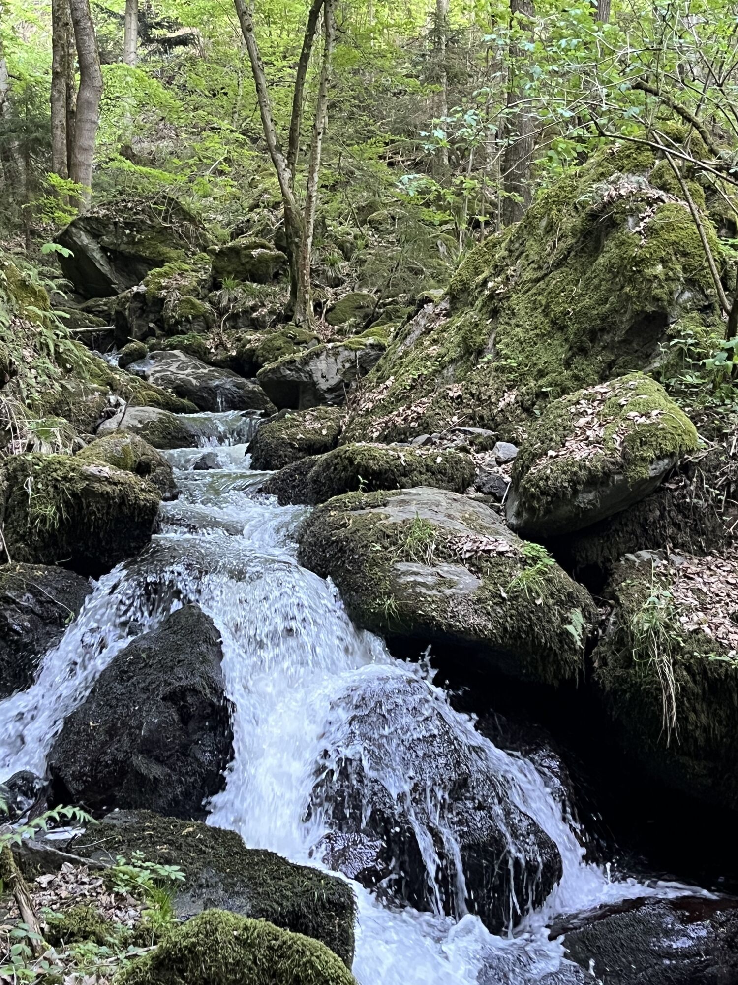
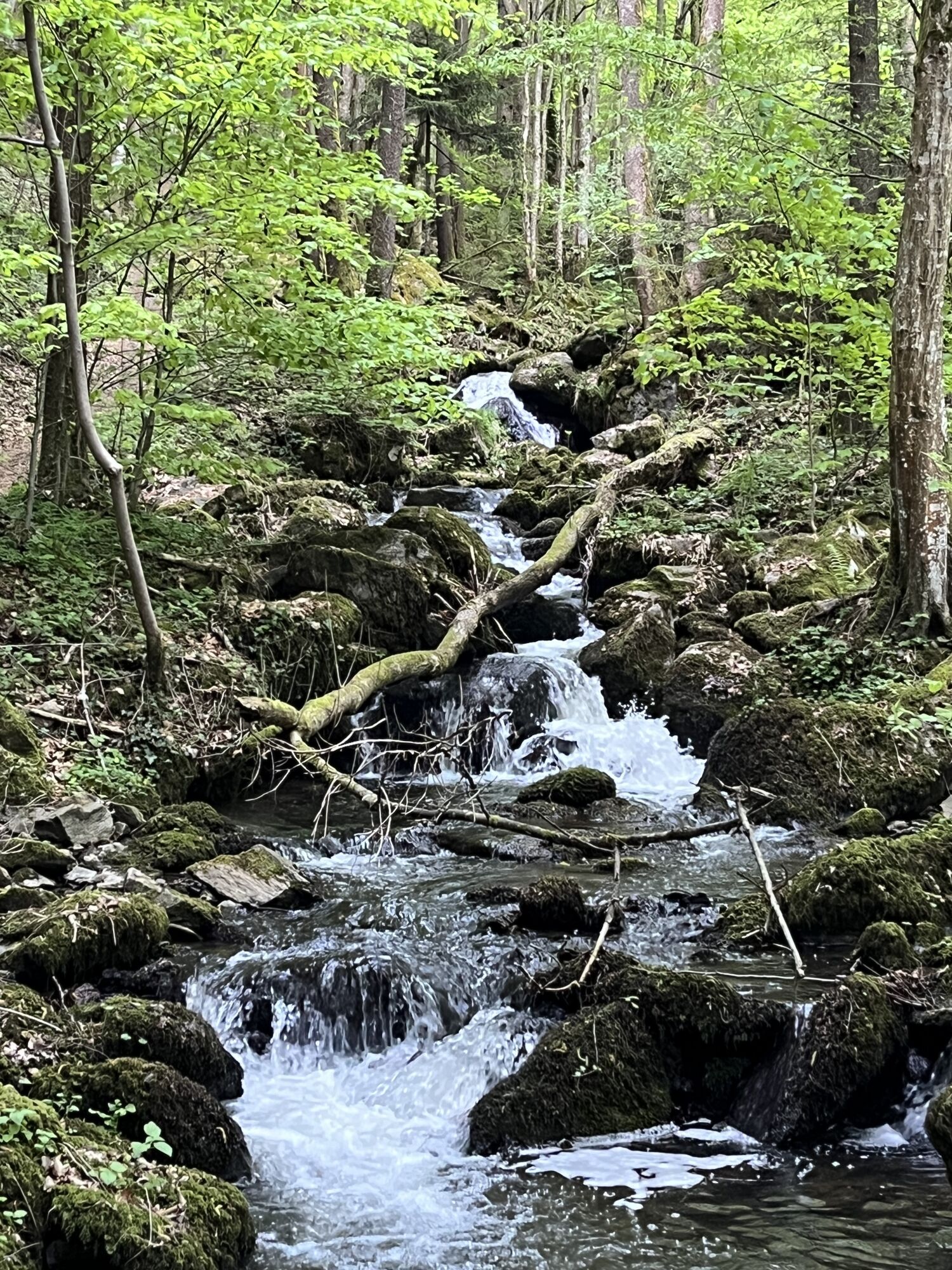
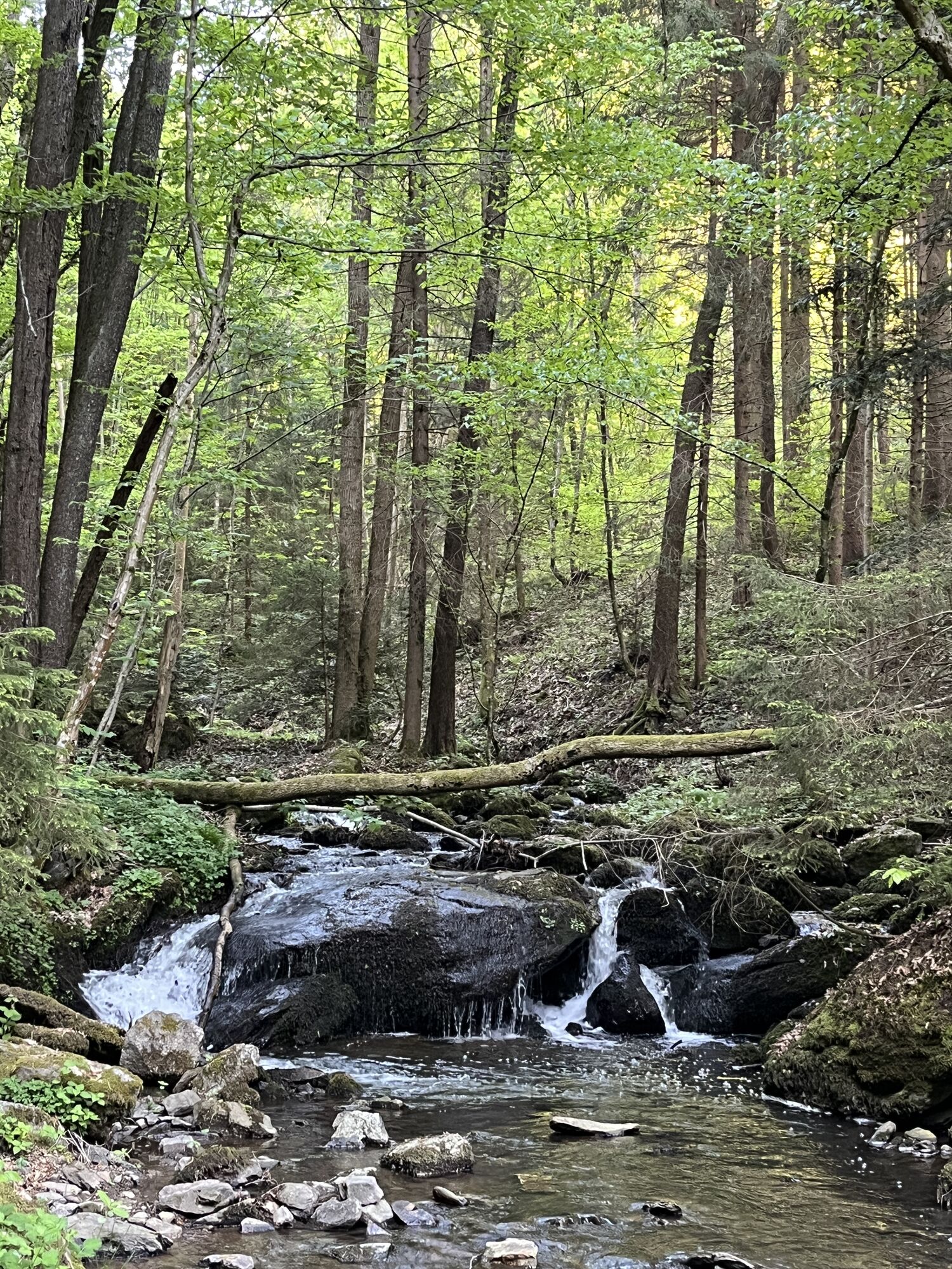


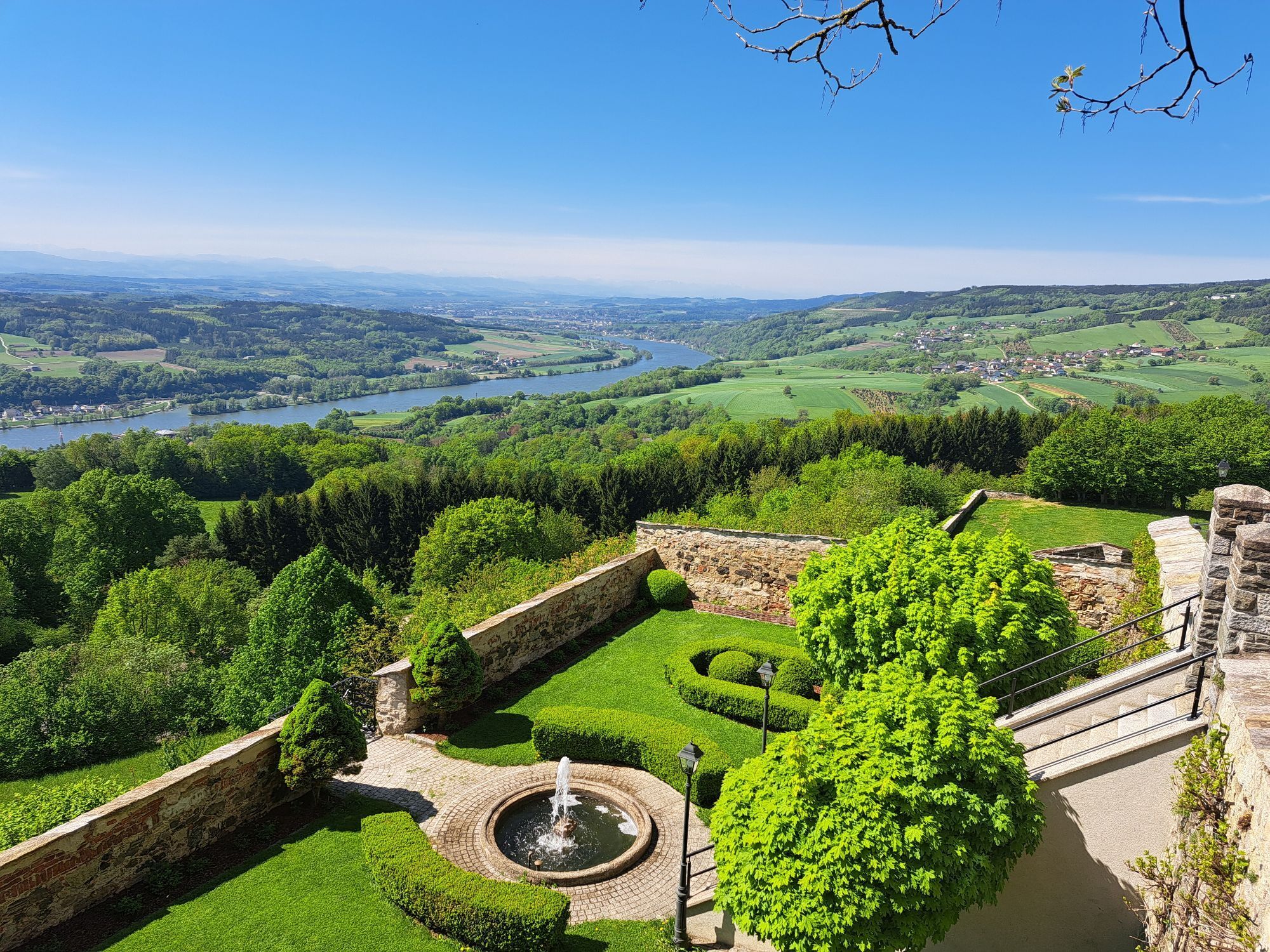
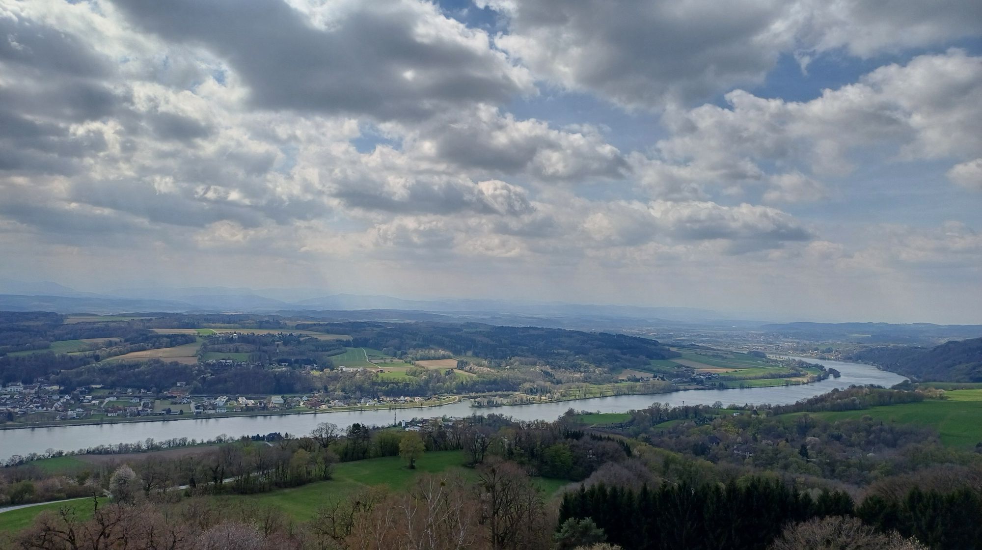


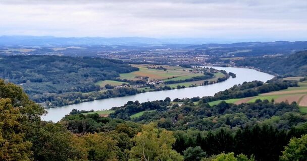
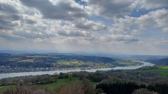
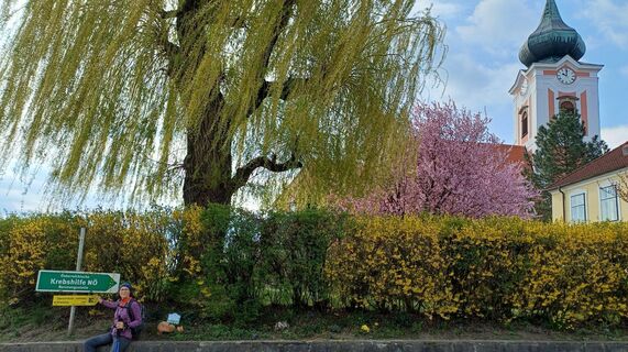
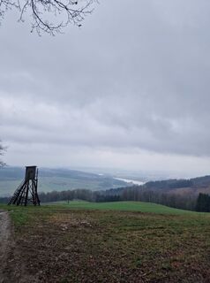
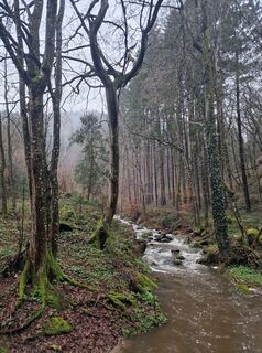
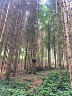
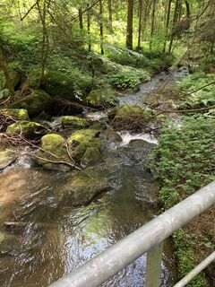
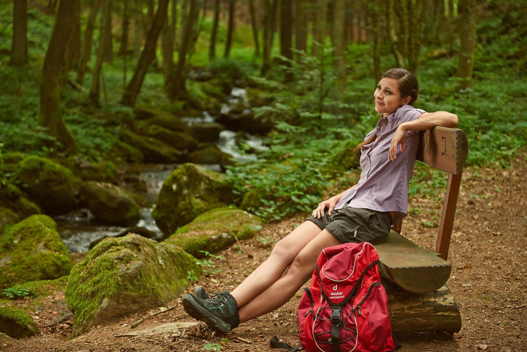
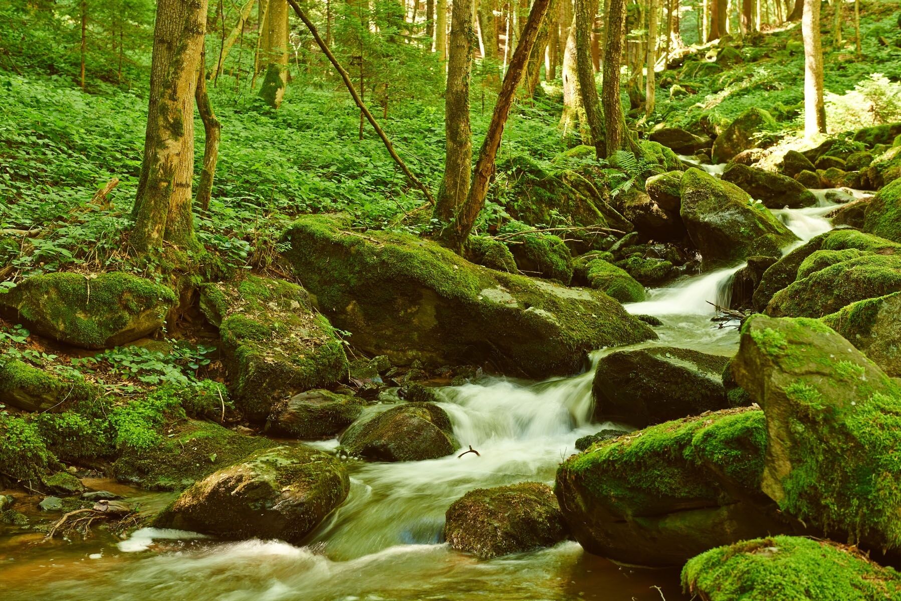
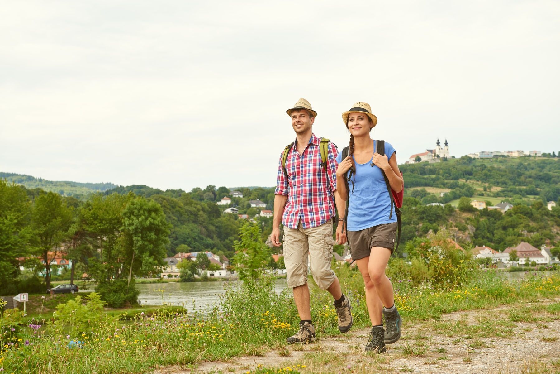
It leads along scenic paths through a charming landscape and to historic excursion destinations. Unspoiled nature and fantastic views of the Danube valley accompany hikers every step of the way. The individual...
It leads along scenic paths through a charming landscape and to historic excursion destinations. Unspoiled nature and fantastic views of the Danube valley accompany hikers every step of the way. The individual stages are between 10 and 22 kilometers long and connect cultural treasures and natural gems like a common thread.
It doesn't matter whether you prefer to take it easy or have enough stamina for more challenging routes. The Nibelungengau long-distance hiking trail has the right route for every requirement.

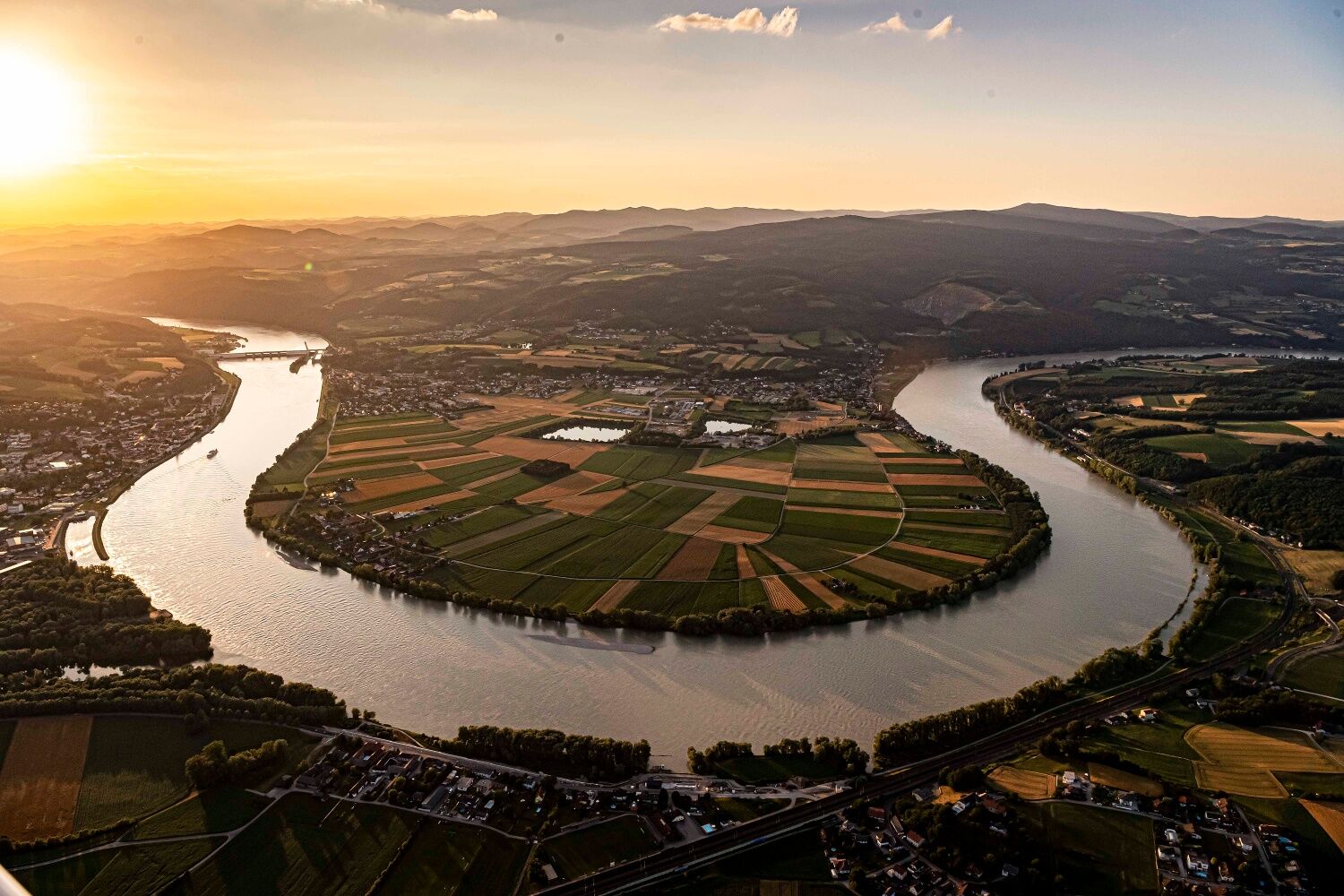
Auf einer Länge von insgesamt 110 Kilometern verläuft der Weitwanderweg Nibelungengau nördlich und südlich der Donau.
We recommend the following equipment:
Hiking boots
Backpack
Weatherproof clothing (e.g. rain protection)
Headgear
Sun protection
Enough provisions (water, snacks)
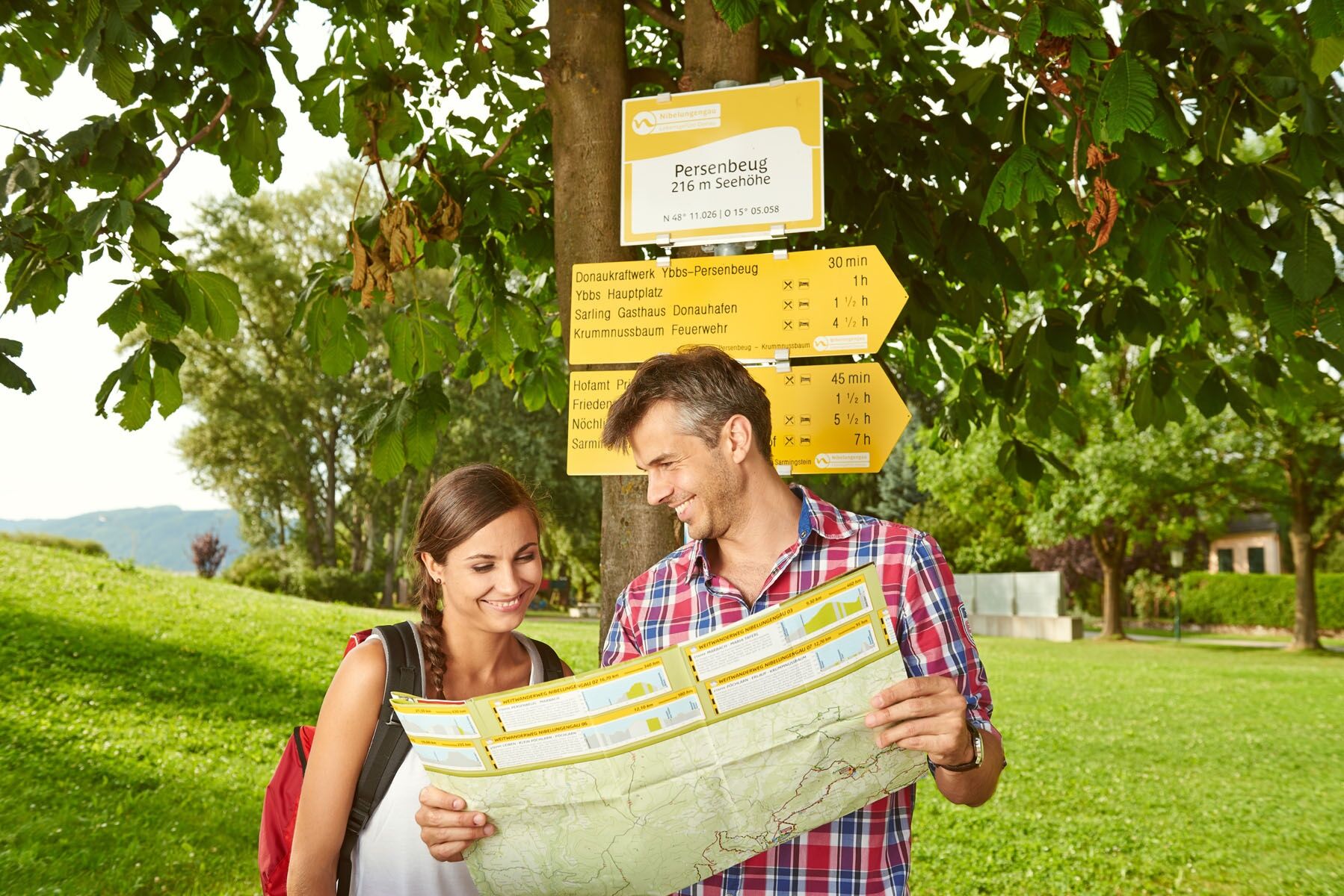
Wachau hiking map and/or mobile route planner
Please note the following tips and hints to make your hiking holiday a pleasant experience:
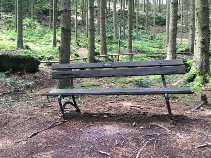
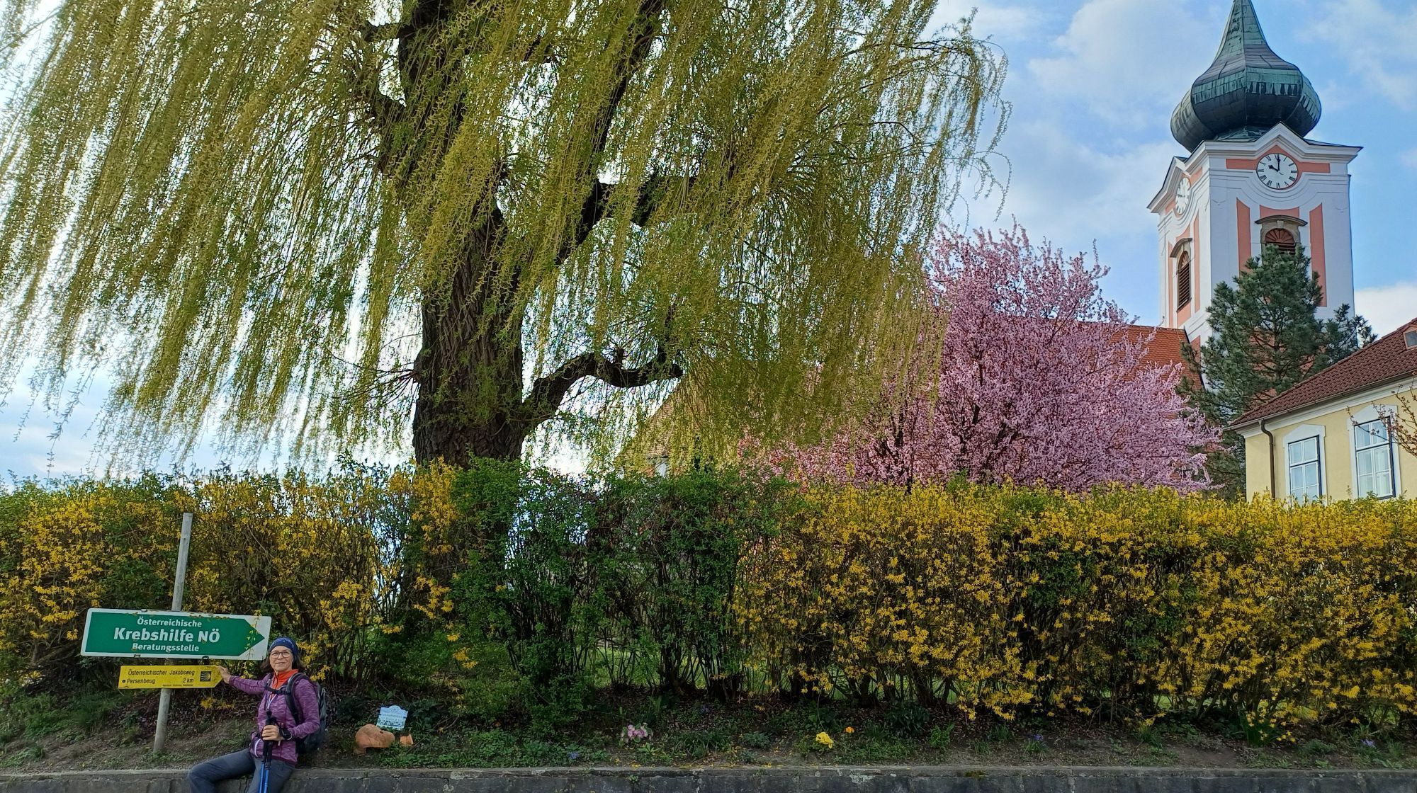
Stay on the marked paths and wear mountain/hiking boots.
Please do not leave your rubbish on the path.
Carry enough provisions (water/snacks) with you.
Take the hiking map or use the free hiking app.
Respect the sensitive habitats of the plants and animals.
On the A1 West Motorway, take the exits Ybbs on the Danube or Pöchlarn.
You can reach Persenbeug via the A1 West Motorway, Ybbs exit, along federal road B25 towards Ybbs, through Ybbs across the Ybbs-Persenbeug Danube bridge, keep right towards Persenbeug. Along B3, the road runs along the north bank of the Danube to Klein-Pöchlarn. In Klein-Pöchlarn, the Danube bridge leads to Pöchlarn, and along federal road B1, access to Ybbs on the Danube or the Nibelungengau communities on the south bank is possible.
Travel with ÖBB on the Westbahn line to the Ybbs/Kemmelbach train stop at timetable inquiry. From the station, you can take the post bus/Verkehrsbetriebe Ybbs to Persenbeug. Further information about the bus schedules can be found here.
Also with ÖBB on the Westbahn line to the Pöchlarn train stop, with the regional buses to the surrounding communities.
We recommend arriving by car, as public transport does not cover a seamless connection.
Parking is mostly possible near the Danube shores in the Nibelungengau communities.
All info about the stages can be found at www.nibelungengau.at The hiking map for the Nibelungengau long-distance trail can be requested free of charge by phone at Donau NÖ Tourismus GmbH at 02713-30060-60 or downloaded in the brochure shop at www.donau.com/prospekte.
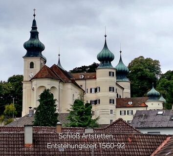
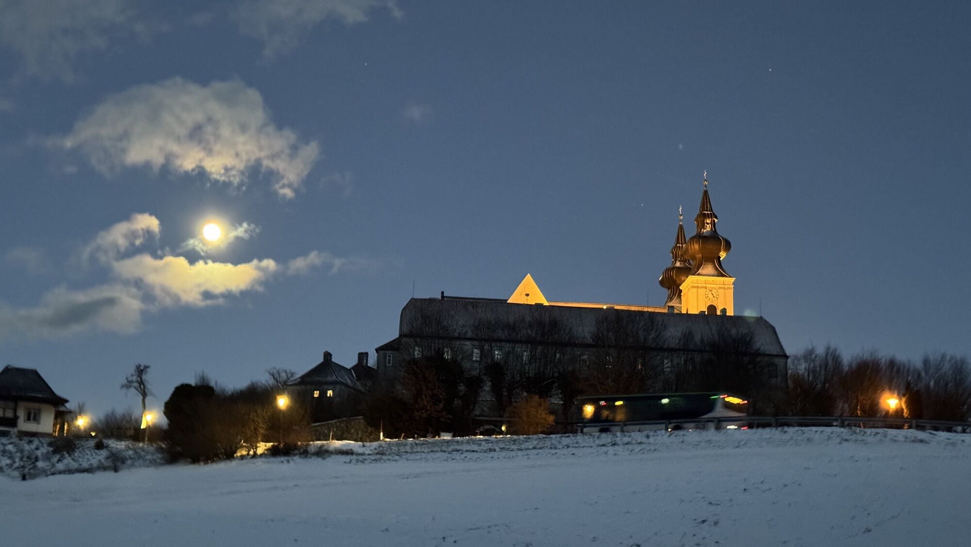
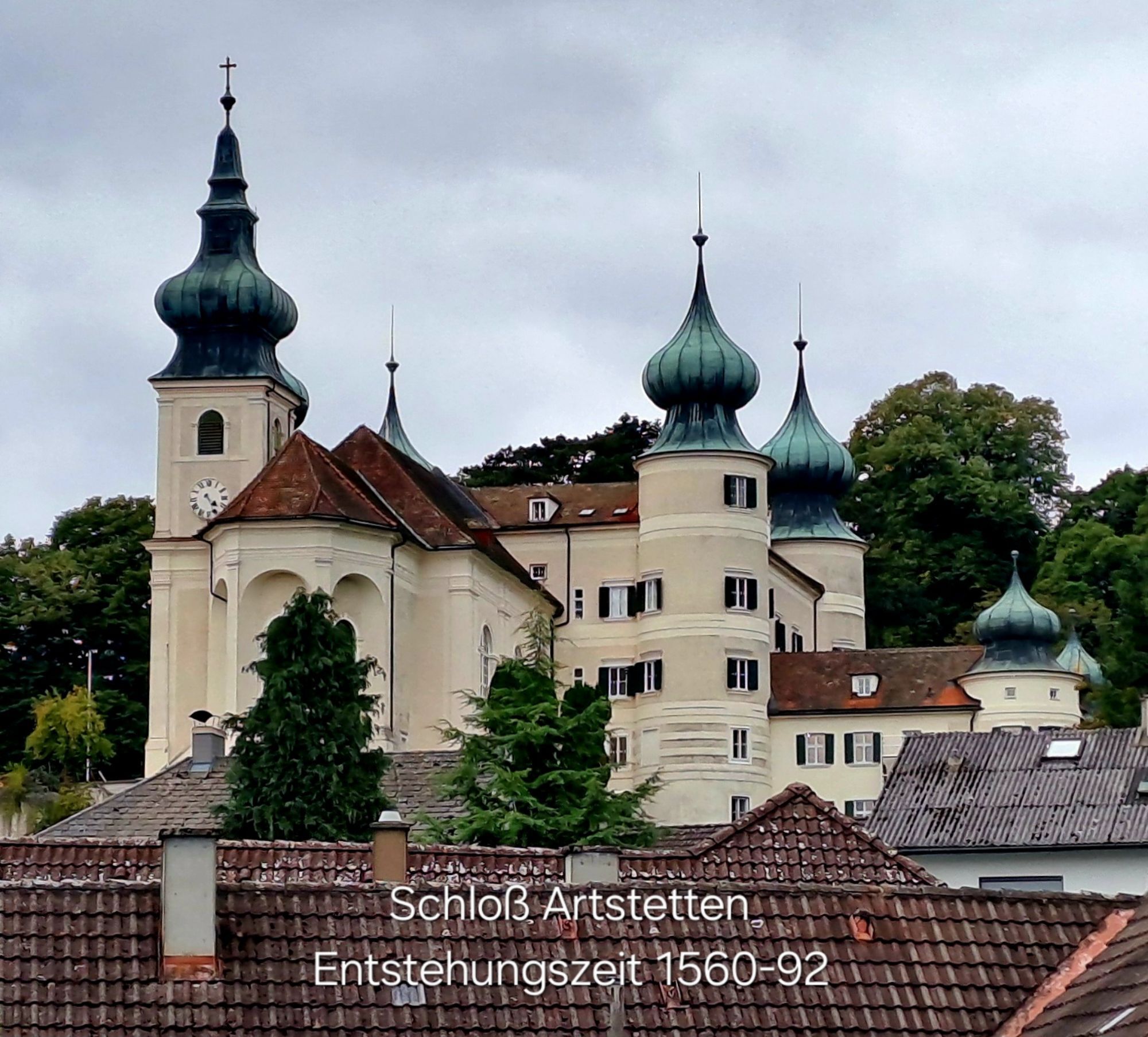
Plan enough time to visit the worthwhile excursion destinations in the region, e.g. the Ybbs-Persenbeug visitor power plant, Artstetten Castle, European Castle Leiben or the Oskar Kokoschka Museum.
Parcours populaires à proximité
-
4,5
Ausgedehnte Peilsteinrunde
moyenRandonnée 13,7 km -
4,5
Purgstall Route 3 entlang der Erlauf und Umgebung
facileRandonnée 12,5 km -
4,4
Durch die Steinwandklamm von Maria Taferl aus
facileRandonnée 8,26 km -
5,0
Welterbesteig Wachau 08: Emmersdorf-Melk
facileChemin de Grande Randonnée 9,90 km -
4,9
LAIMBACH Ostrong Peilstein 20220716
moyenRandonnée 7,70 km -
4,9
Herzsteinweg Ysper und Burgsteinmauer
moyenRandonnée 14,7 km -
5,0
Castle stone wall 975m - Variant a
moyenRandonnée 5,26 km -
4,2
Hiesberg Gipfelkreuz Rundweg
facileRandonnée 7,38 km -
4,7
Sulzberg-Strecke
moyenVTT 29,4 km -
4,7
Kaiser-Strecke
VTT 29,0 km
Randonnée et suivi


Ne manquez pas les offres et l'inspiration pour vos prochaines vacances
Votre adresse électronique a été ajouté à la liste de diffusion.