






WAB - Regional Route I: Kirchberg/Wechsel - Maria Schutz


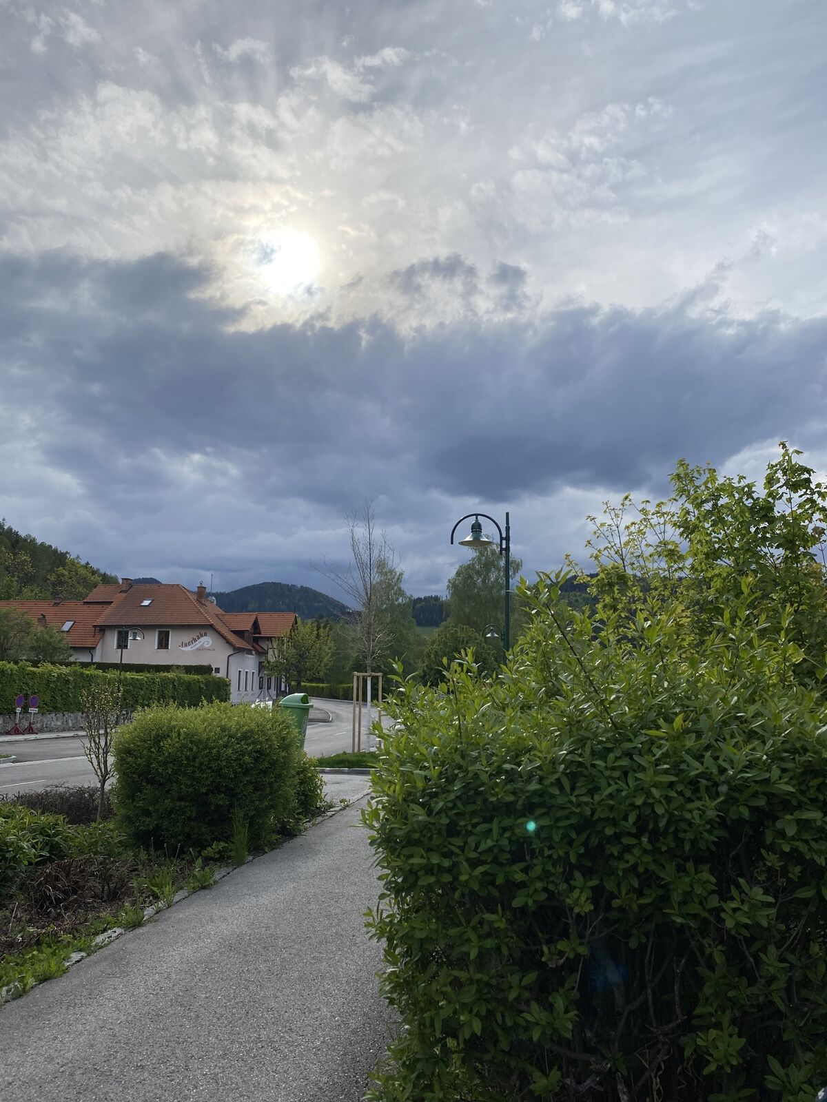
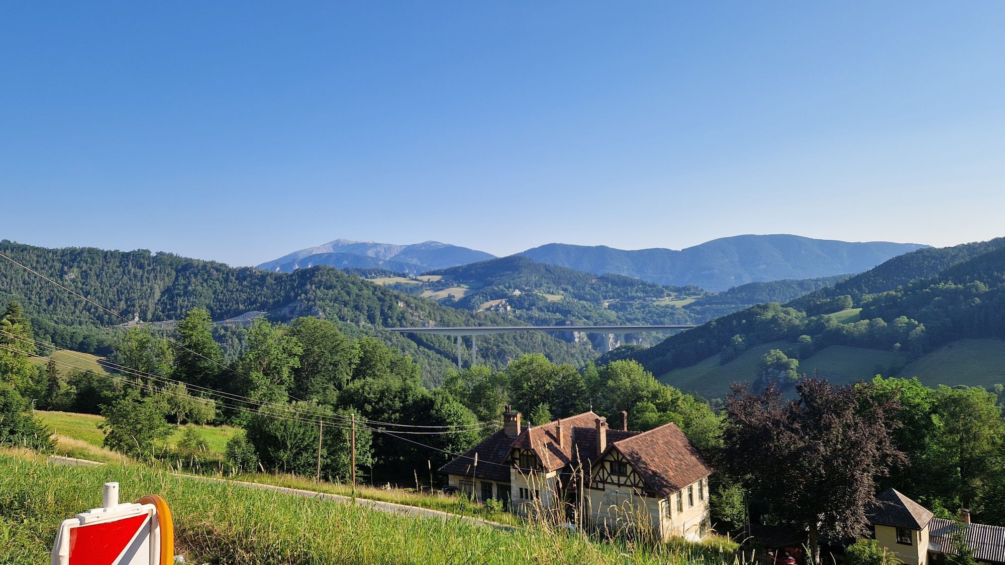
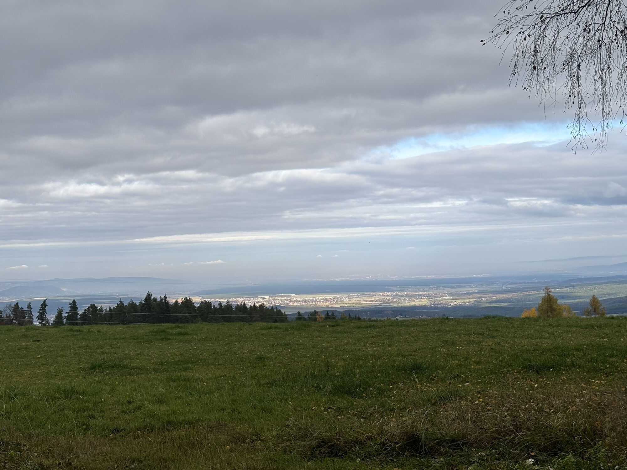
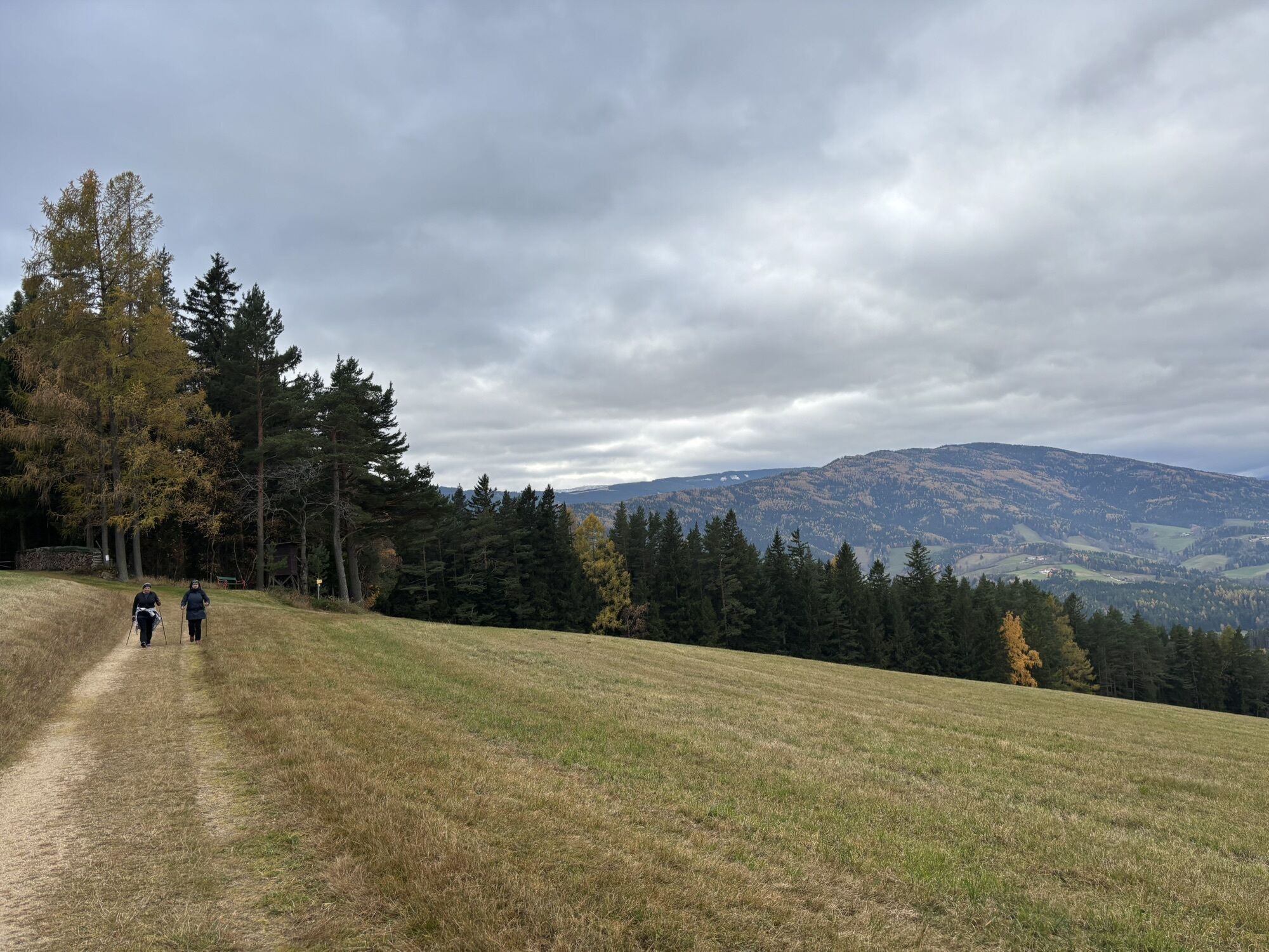
This route offers a leisurely hike through a panoramic cultural landscape and thus truly lives up to being a paradise of views. After a short ascent from Kirchberg /Wechsel in the valley, it continues...
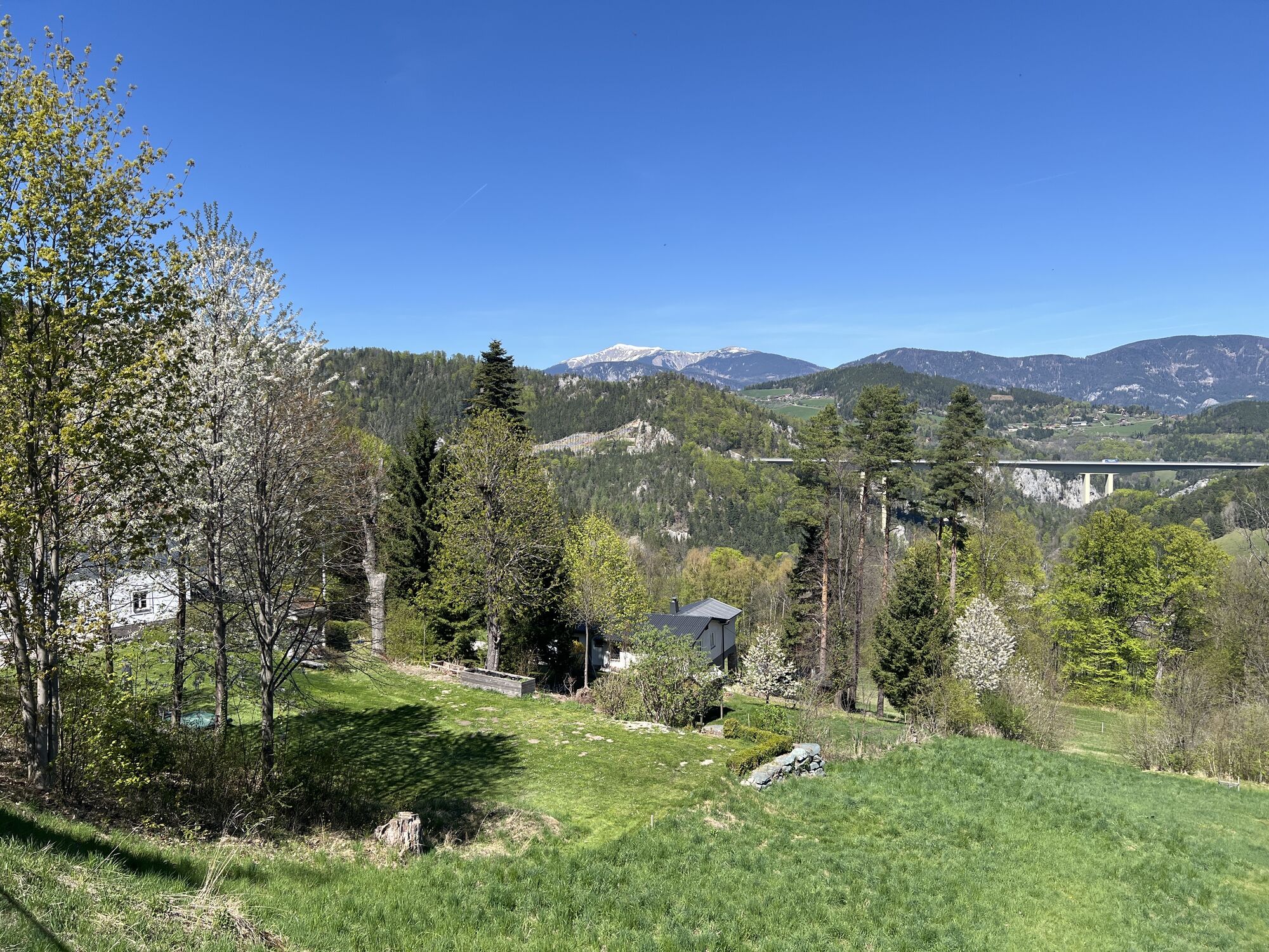
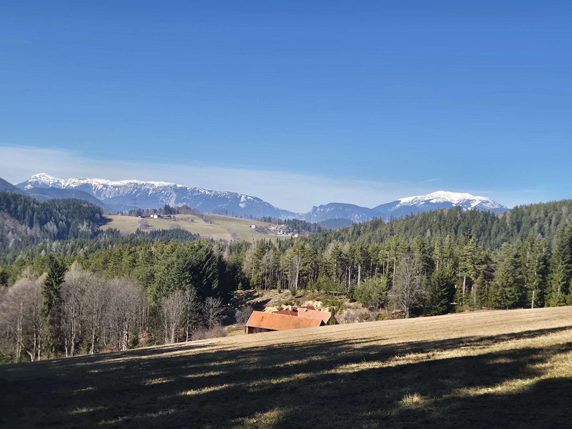
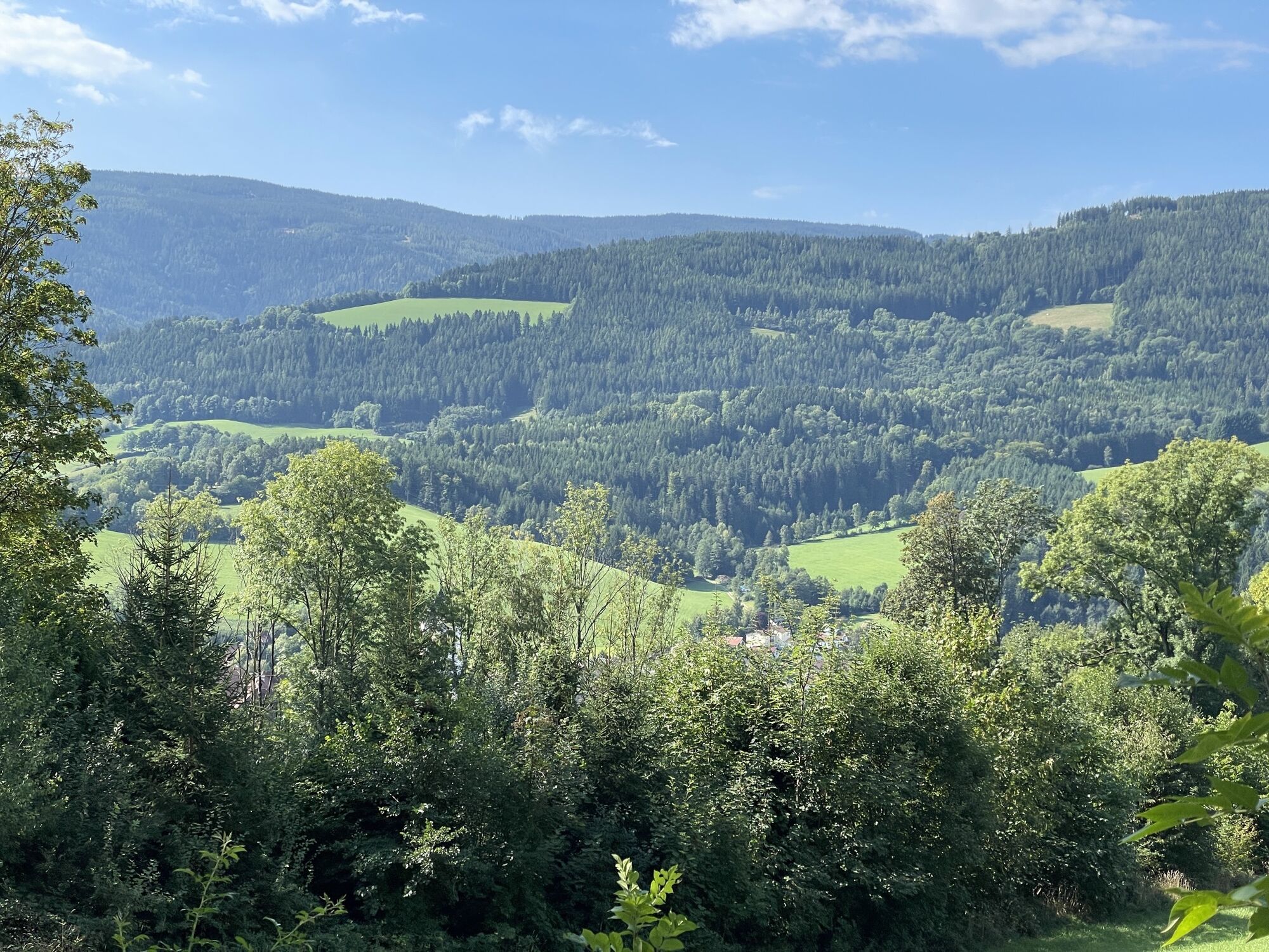
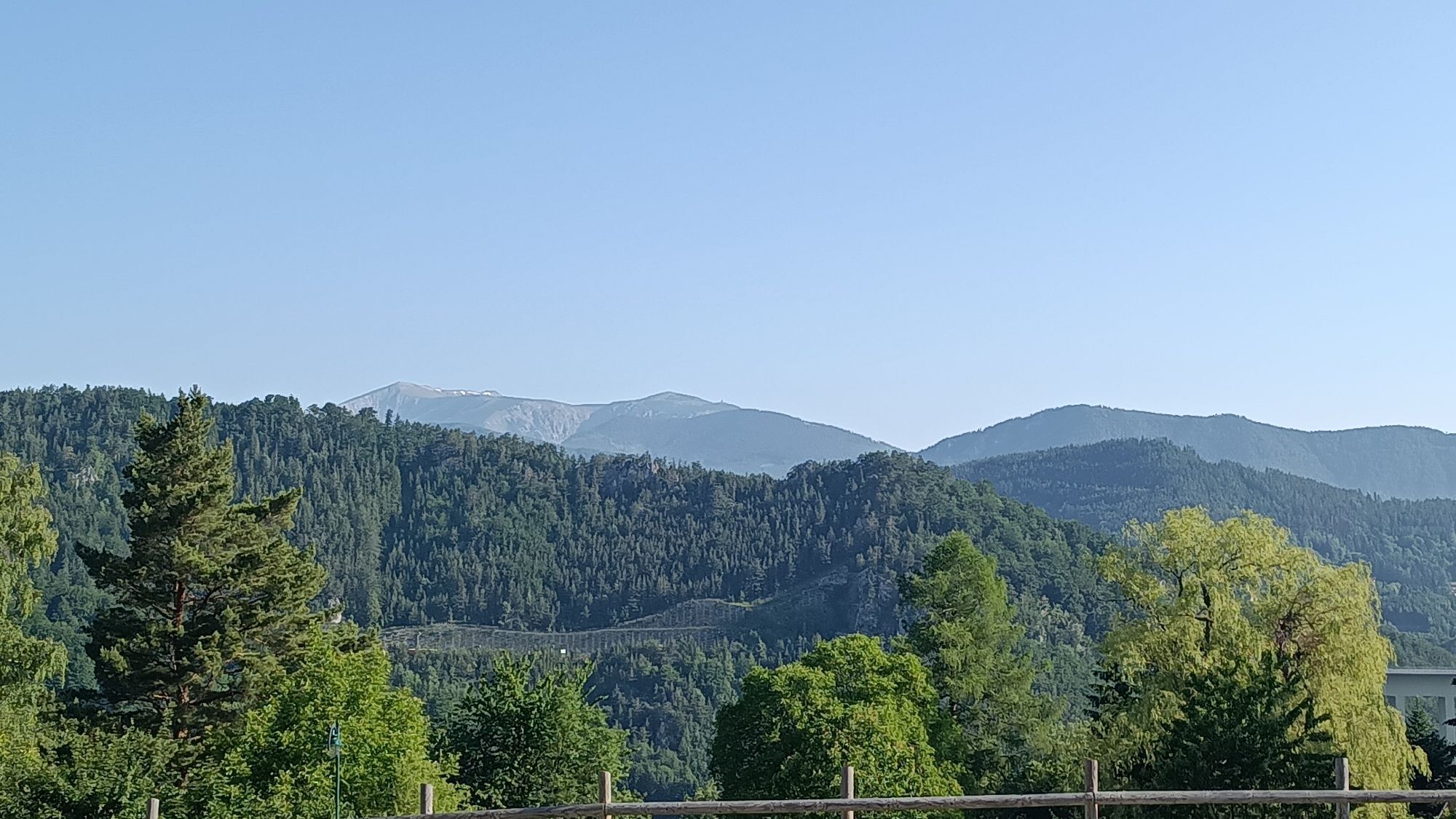
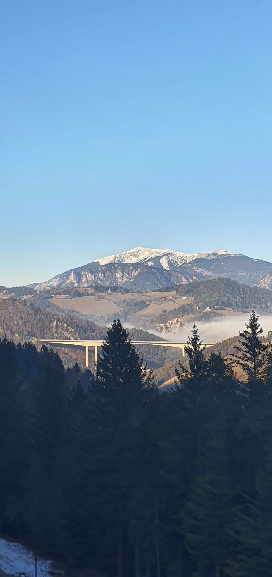
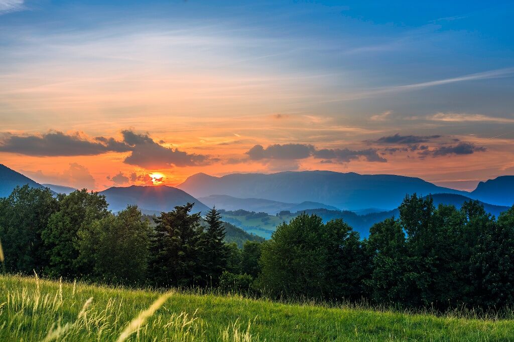
This route offers a leisurely hike through a panoramic cultural landscape and thus truly lives up to being a paradise of views. After a short ascent from Kirchberg /Wechsel in the valley, it continues leisurely over a ridge - past the heaviest Fleckvieh breeding bull at Ramswirt - until you finally catch a glimpse of the construction site of the Semmering Base Tunnel and arrive at the picturesque pilgrimage village Maria Schutz. The rural cultural landscape continuously offers atmospheric views both far and near on both sides of the ridge, and conveys pure rural idyll.
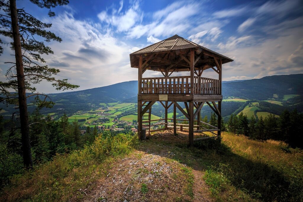
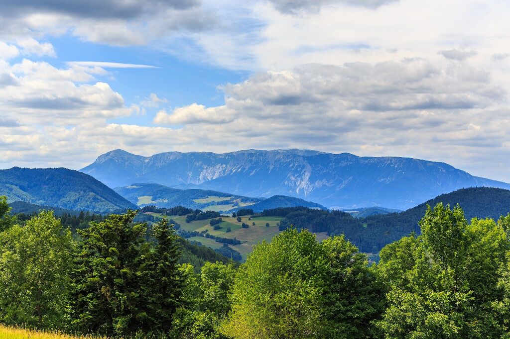
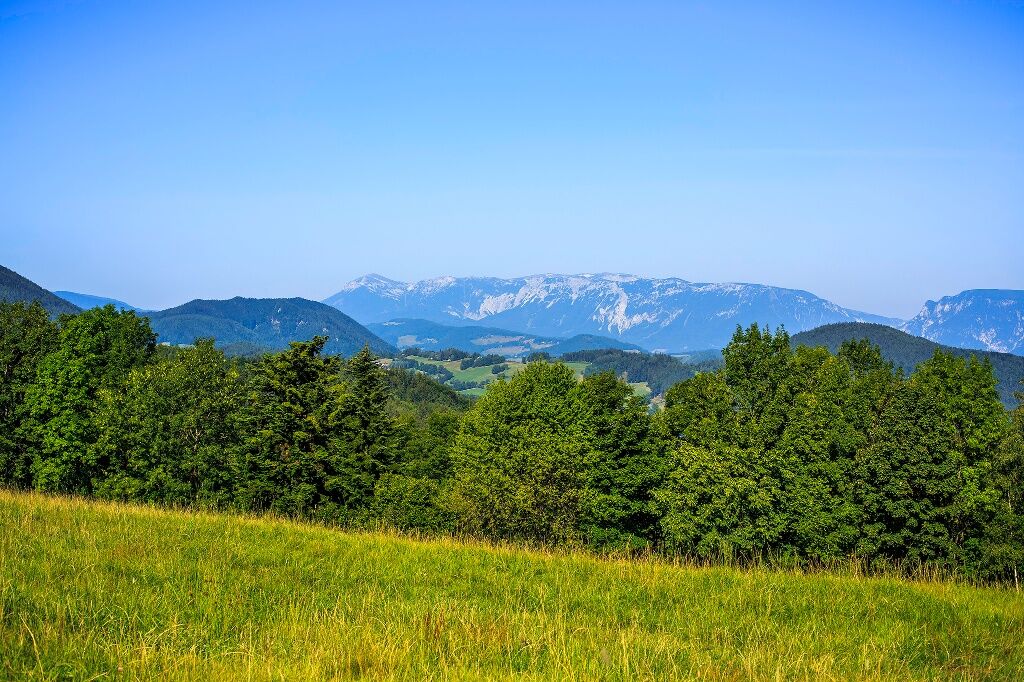
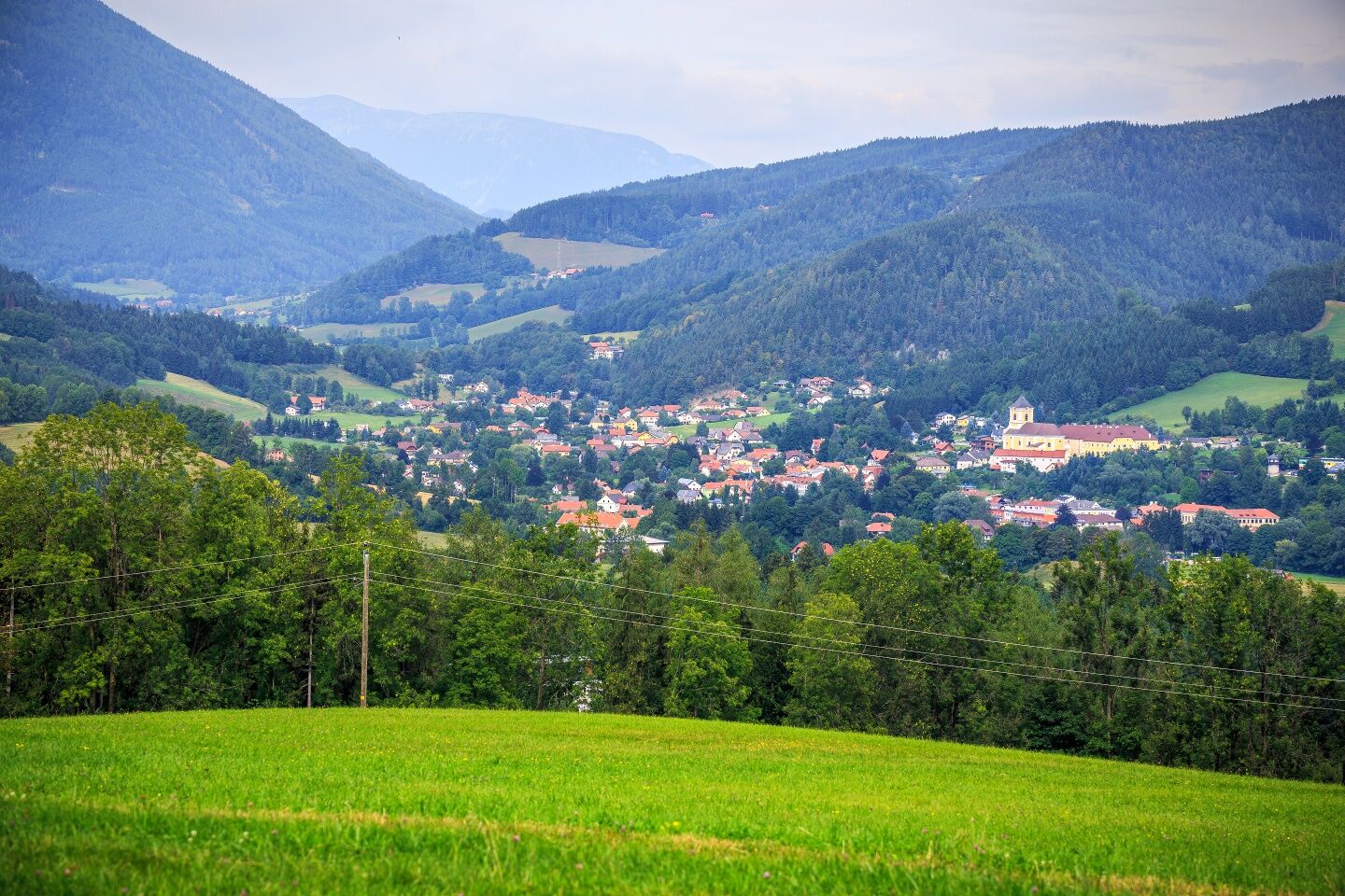
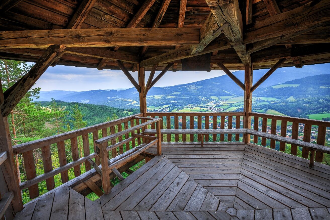
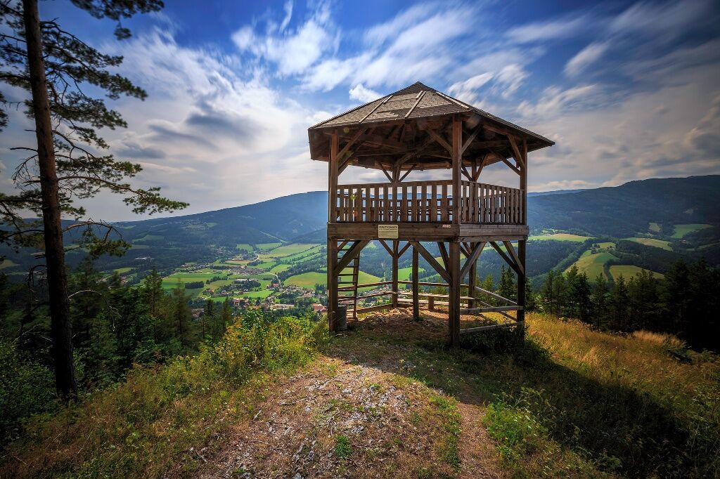
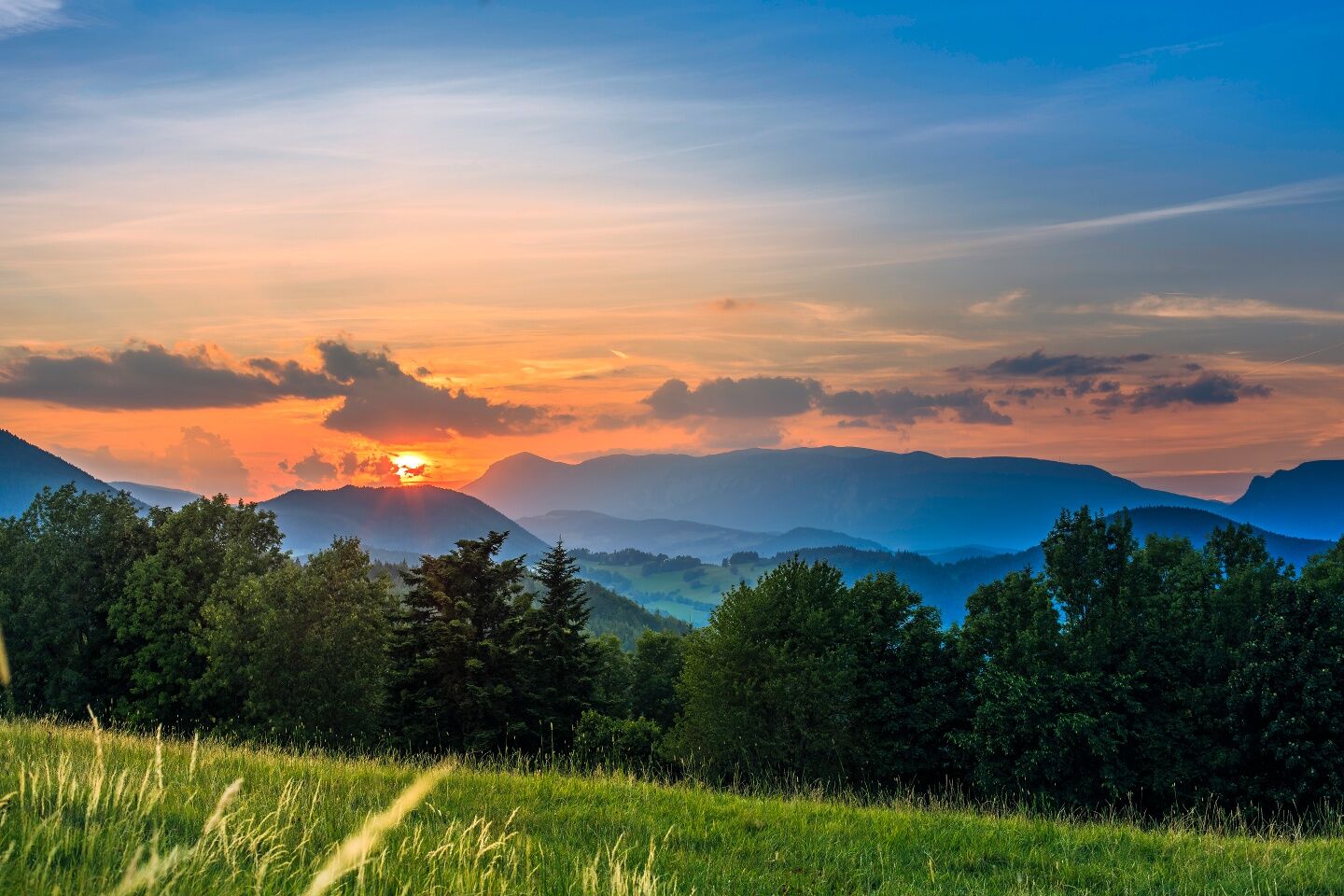
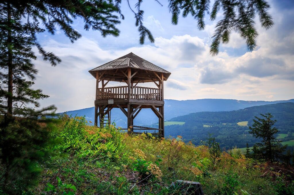
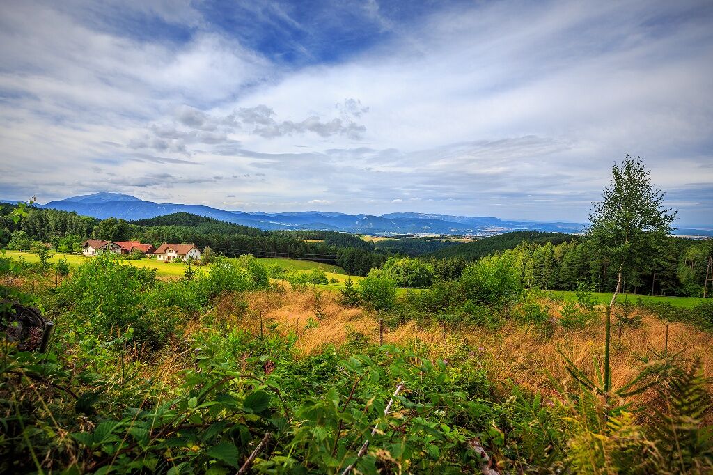
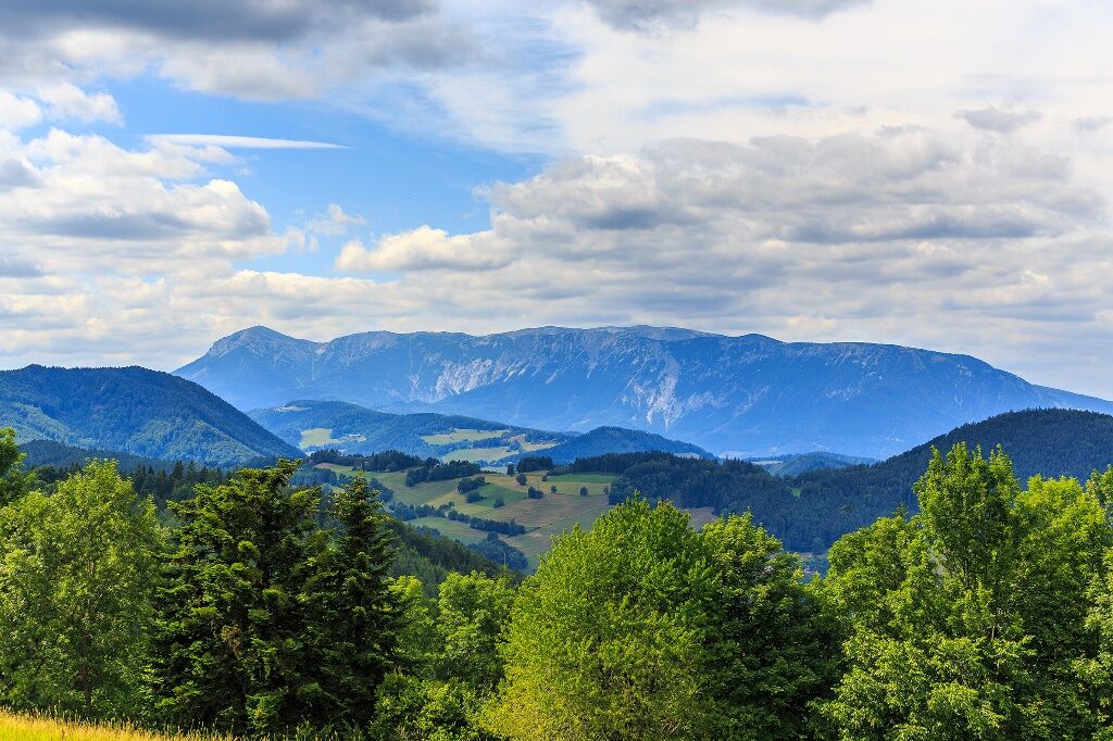
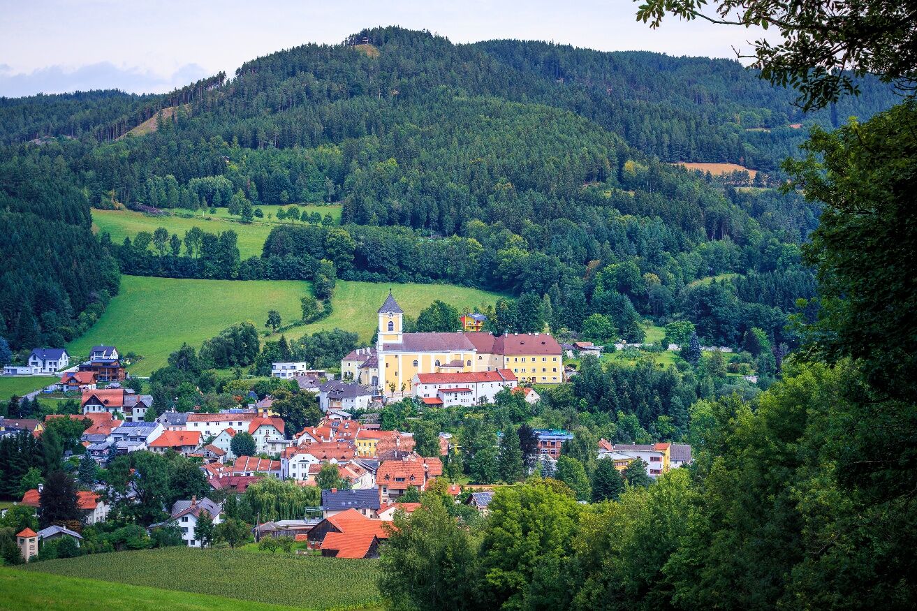
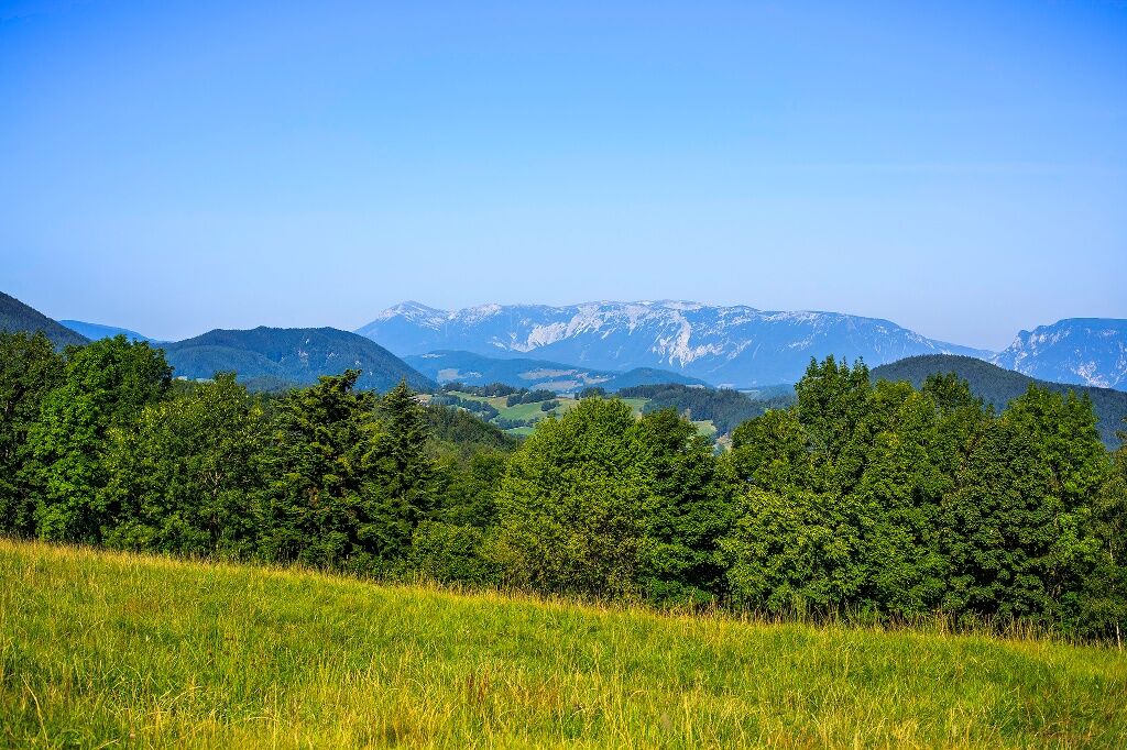
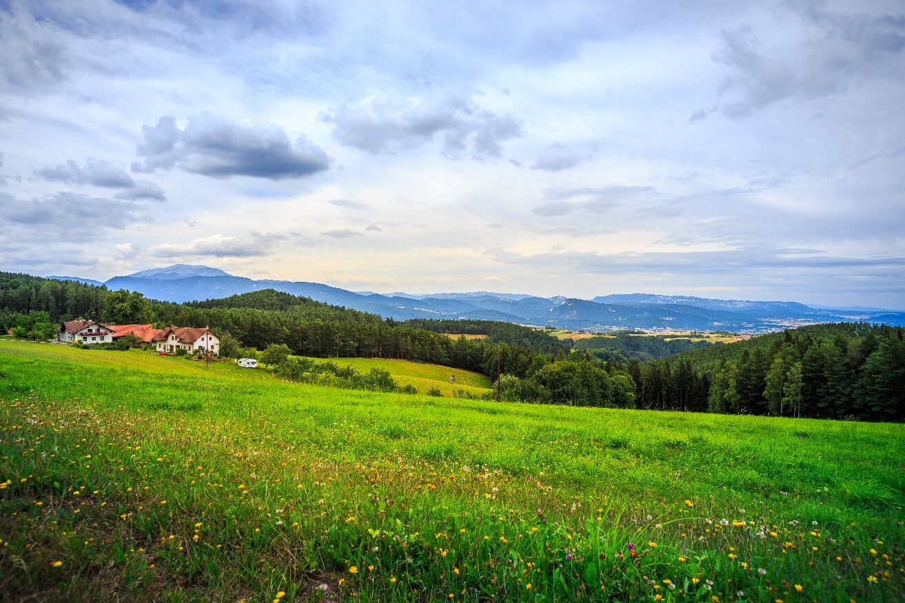
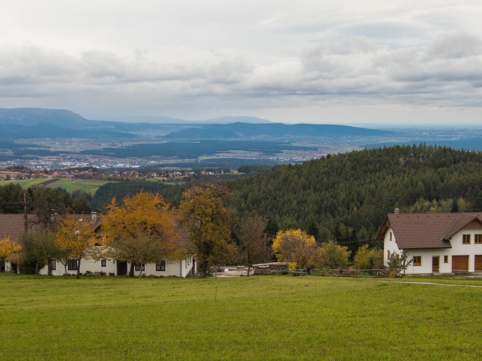
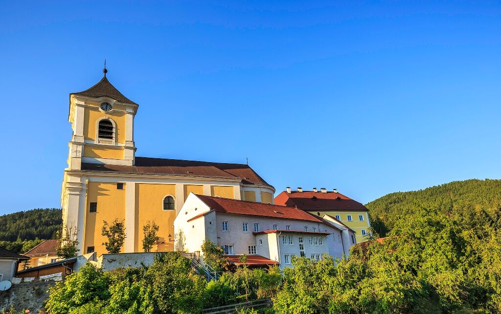

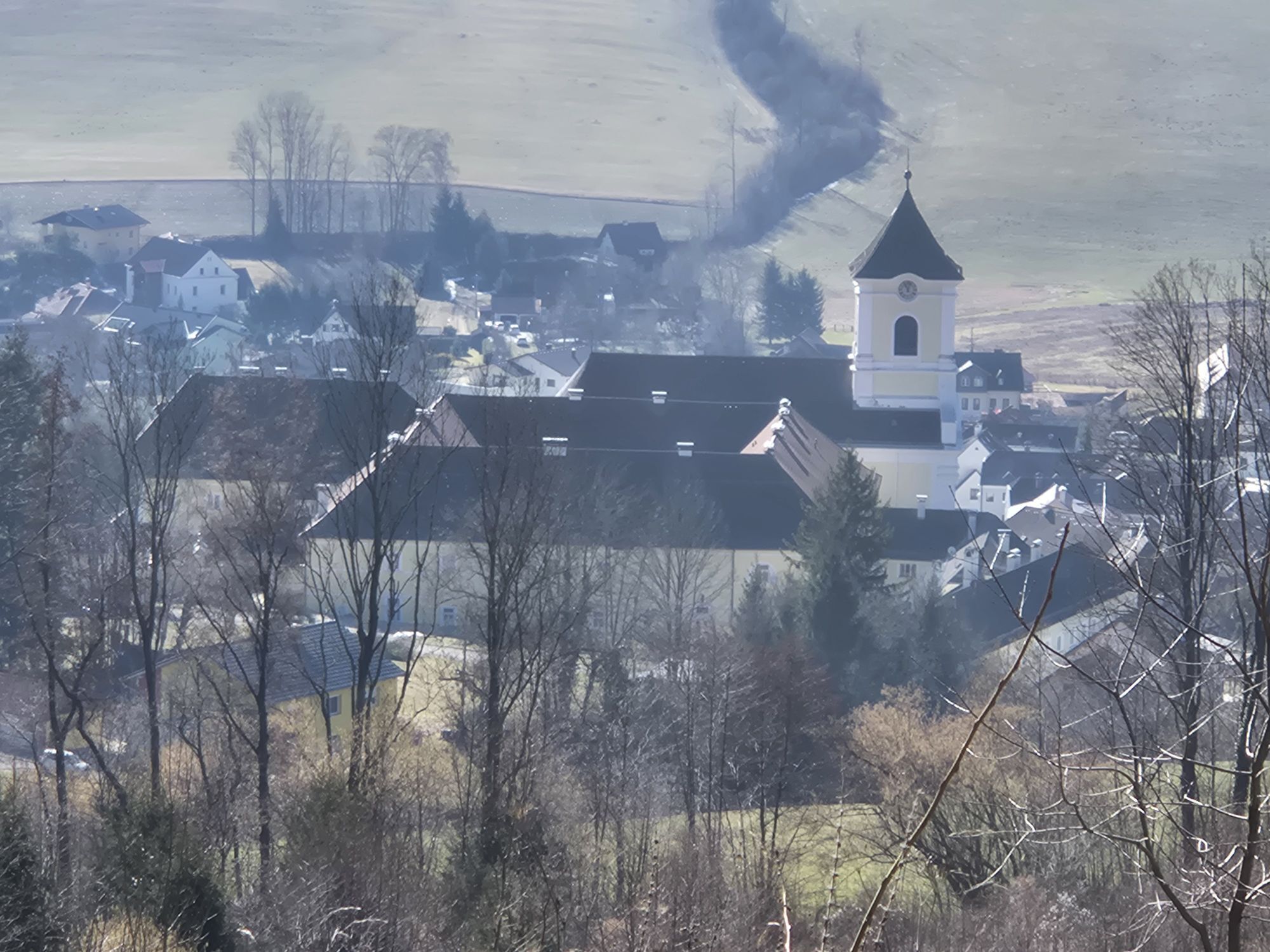
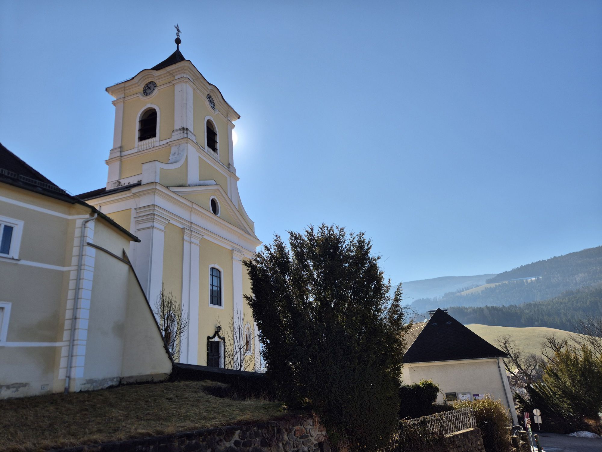
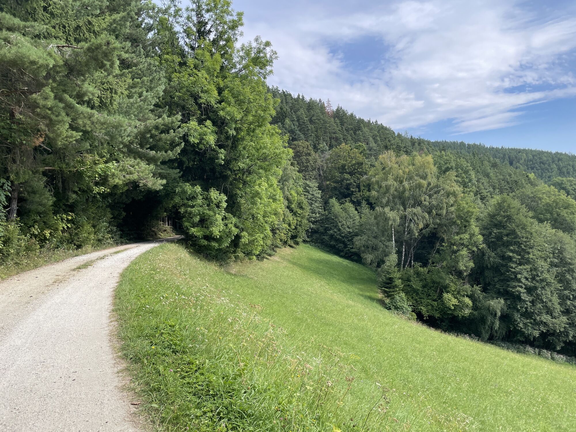
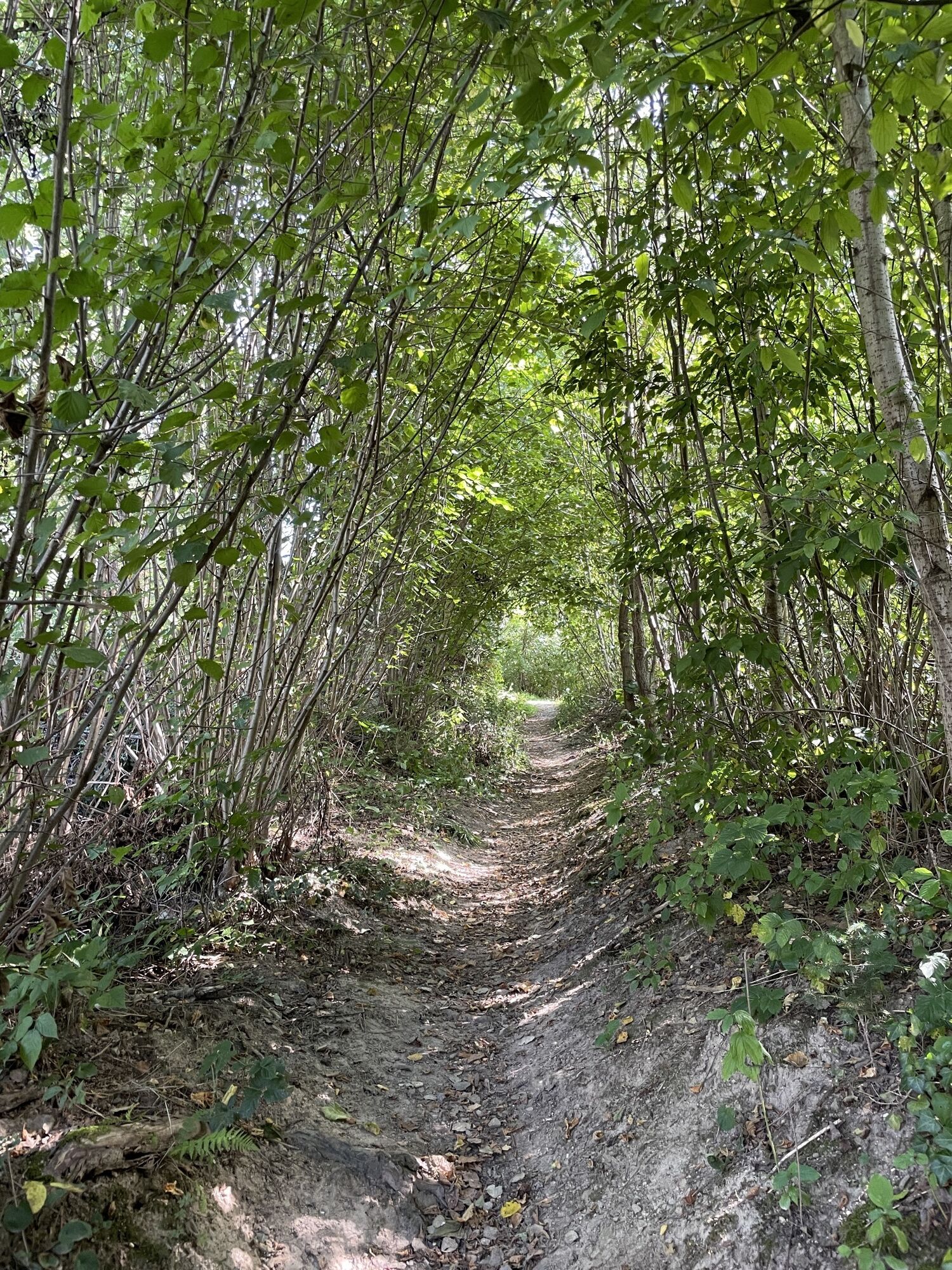
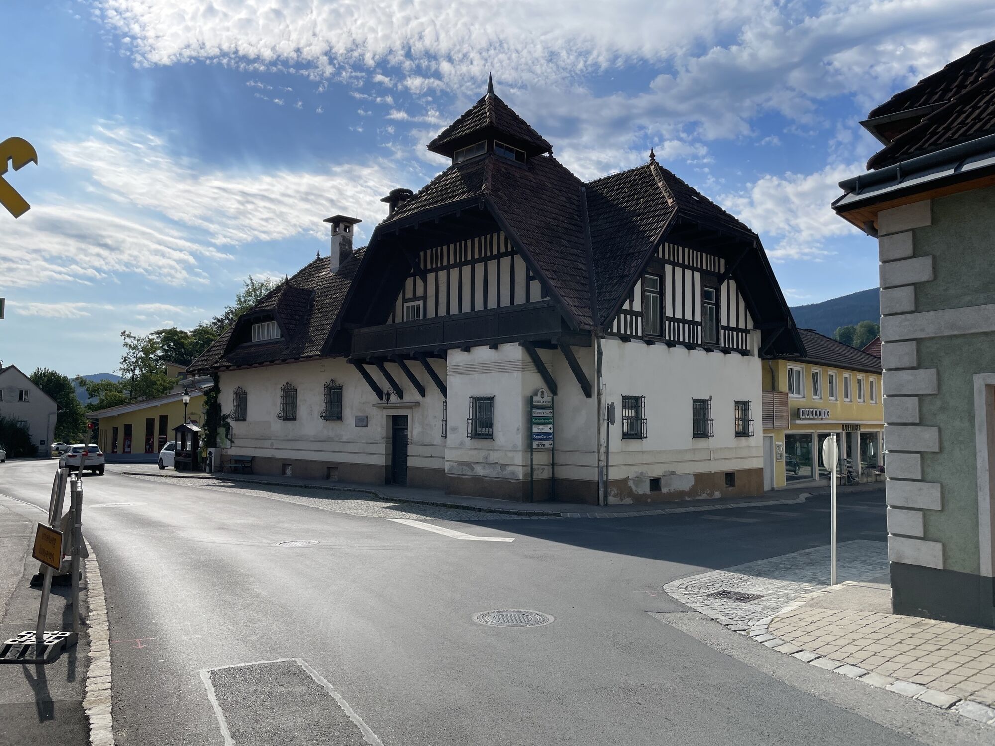
We begin the hike on Regional Route I at the municipal office Kirchberg am Wechsel. The first meters lead us uphill past the parish church St. Jakob and shortly afterwards onto a hiking trail, which takes us approximately 300 meters in altitude up to the Calvary Hill and further to the Kernstock Watchtower (marked in red). A detour to the vertigo-free and panoramic watchtower is worthwhile. We have not yet reached the highest point of the route, as we hike partly scenic and partly shaded forest and trail paths uphill on the western slope of the Eselberg and continue northwards on the agricultural road to the Karlshöhe. However, we will find out after a few more kilometers that this is still not the highest point of the route.
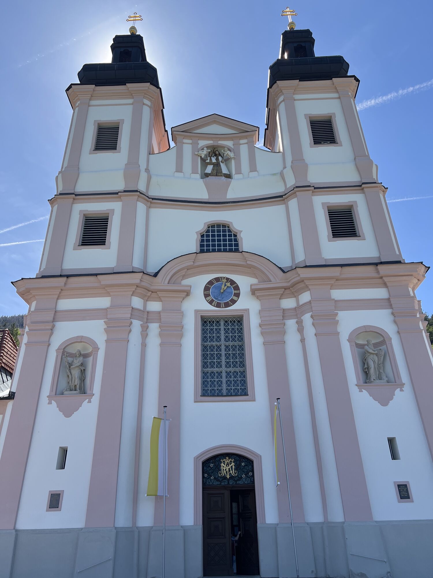
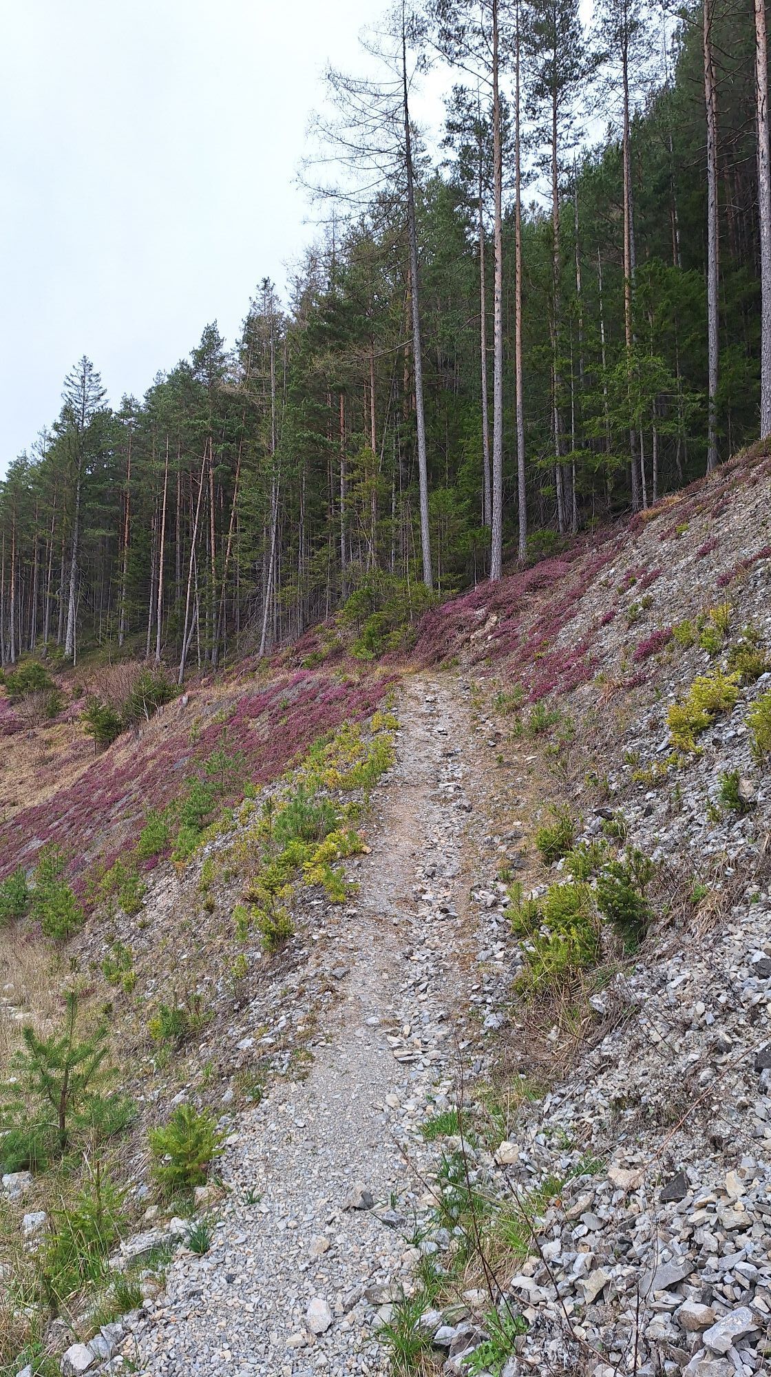
At the Karlshöhe, we turn left and follow the agricultural road to Rams (also Nordalpenweg, marked in red). Behind the Ramswirt, we turn left at the parking lot and walk the road slightly uphill. After the right curve, we turn left after a few minutes and then immediately turn right onto the trail along the ridge. We come across a road again and follow it northwest to Raach am Hochgebirge. In the village, we keep left and follow the road to Schlagl. We cross the country road, go through the small settlement Schlagl, and continue uphill to the Schanz Chapel, a small saddle and the highest point of Regional Route I. We hike steeply downwards through the forest towards Göstritz, but leave the village and the construction site of the Semmering Base Tunnel on the right and continue southwards into the Göstritzbach valley (partly marked in green), turn back after a few minutes to the other side of the valley, and ascend gently on the Parapluie Trail. The hiking trail leads us closer to the country road and eventually to the pilgrimage church Maria Schutz. The hike on Regional Route I ends here. You have the option to spend the night at the Kirchenwirt next door or to hike on Regional Route M to Payerbach or to Sonnwendstein. Moreover, you can take the bus from Maria Schutz to Semmering or to the Payerbach train station. At all points, you will rejoin the trail of the Wiener Alpenbogen.
Always take suitable maps with you. Wear sturdy shoes appropriate for the route, bring sun and rain protection, as well as water and a snack. Take your mobile phone and save the mountain rescue emergency number: 140
Your hikes in the Vienna Alps should be an altogether beautiful and safe experience. Please therefore observe the following:
Preparation
Make sure when choosing the route that it matches your mountain experience and fitness. Inform yourself in advance about the weather forecast. Weather can change surprisingly quickly in the mountains. Therefore, always start properly equipped (e.g. rain protection).
Check whether the huts and snack stations you want to visit on the way are open. Inform someone about your chosen route and your planned return before setting off.
If coming from Vienna or Graz, take the A2 to the Edlitz or Grimmenstein exit. Follow the B54, turn onto the L134 and drive to Kirchberg am Wechsel.
Take the train via Wr. Neustadt to Gloggnitz station. From there, buses go to Kirchberg am Wechsel.
Further information can be found at www.oebb.at
Parking spaces are available at the municipal office Kirchberg.
Also explore the adjoining routes:
WAB - Regional Route H: Kranichberger Schwaig - Kirchberg/Wechsel
WAB - Regional Route J: Payerbach - Waldburgangerhütte - Knofeleben
Vienna Alps in Lower Austria, www.wieneralpen.at, +43 / 2622 / 78960
Tourism office Kirchberg am Wechsel, www.kirchberg-am-wechsel.at, +43 / 2641 / 2460
Combine your hike with an overnight stay at the Ramswirt and visit the bull exhibition.
Obtenez un aperçu Toujours en direct avec plus de 9.500 webcams. En tant qu'utilisateur Pro, vous pouvez désormais voir les webcams correspondantes à de nombreuses randonnées dans l'application de randonnées de bergfex. Vous pouvez ainsi voir directement les conditions actuelles.Parcours populaires à proximité
- 4,8
Hochwechsel-Runde, Waldbach-Mönichwald
moyenTrail running 17,9 km - 4,8
Promenade culturelle Payerbach-Reichenau
facileRandonnée 7,43 km - 3,7
Schwaigen Rundwanderung
facileRandonnée 8,24 km - 3,8
St. Corona - Kampstein
moyenRandonnée 10,7 km - 4,8
Flatzer Wand Wanderung
facileRandonnée 5,62 km - 4,8
"Krummbachstein 1602m" - Eng - Payerbach - Rundwanderweg
moyenRandonnée 24,8 km - 4,7
Raxgebiet: Brandschneide
moyenRandonnée 16,5 km - 4,7
Gsohlhirnsteig - Ottohaus - Törmweg (Rundwanderung)
moyenRandonnée 11,0 km - 4,6
Prigglitz - Pottschacher Hütte - Rote Wand - Prigglitz
facileRandonnée 8,80 km - 5,0
Schneeberggebiet: Ein Stückchen am Wasserleitungsweg im Höllental
facileRandonnée 2,64 km
Randonnée et suivi


Ne manquez pas les offres et l'inspiration pour vos prochaines vacances
Votre adresse électronique a été ajouté à la liste de diffusion.





