


Vers le chapeau et la pierre du diable
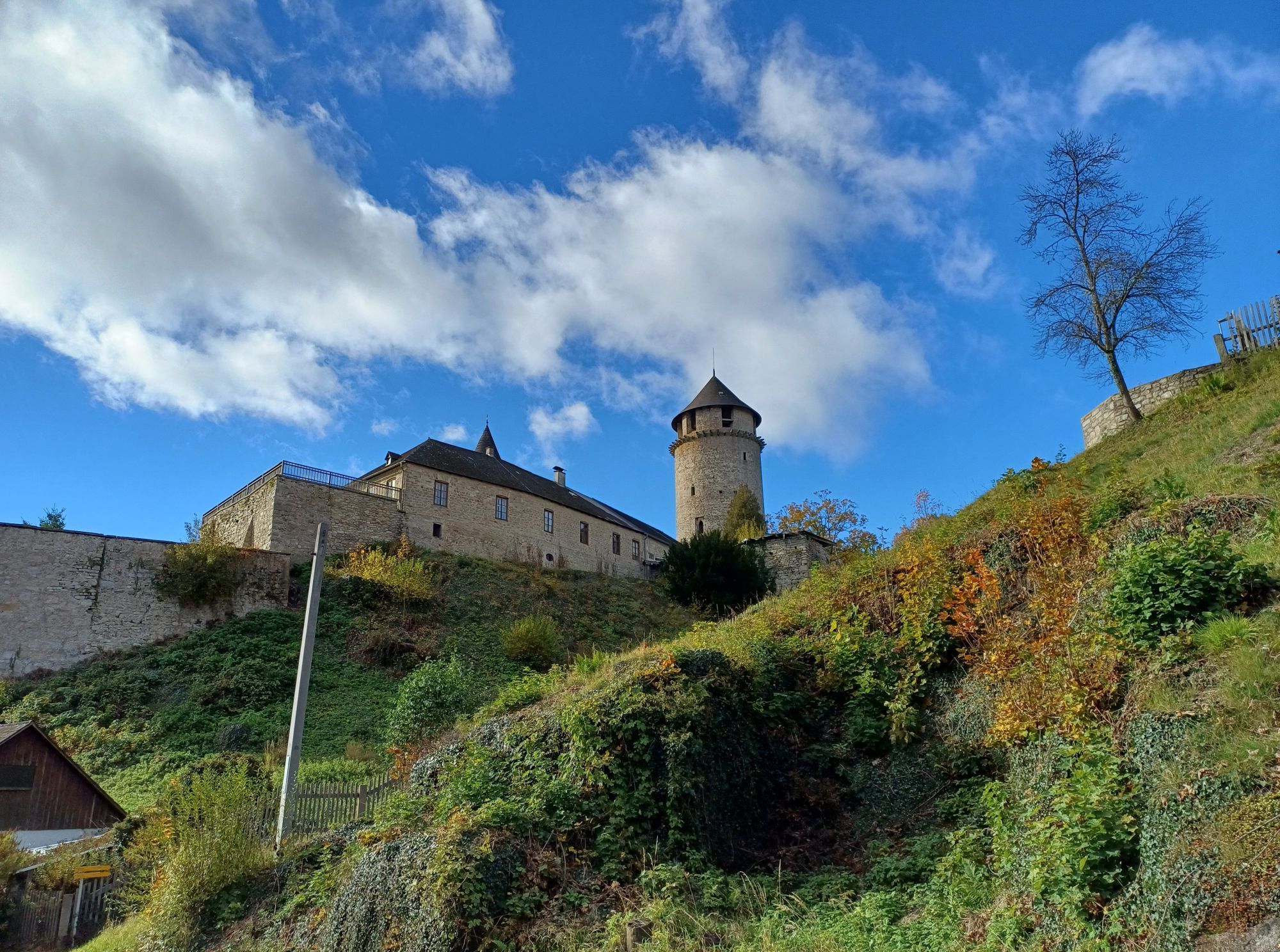
Le long de l'ancienne muraille de la ville, le chemin se dirige vers l'étang Mörter à travers un petit lotissement dans la Saaß ; des formations rocheuses intéressantes, comme le chapeau et la pierre du...
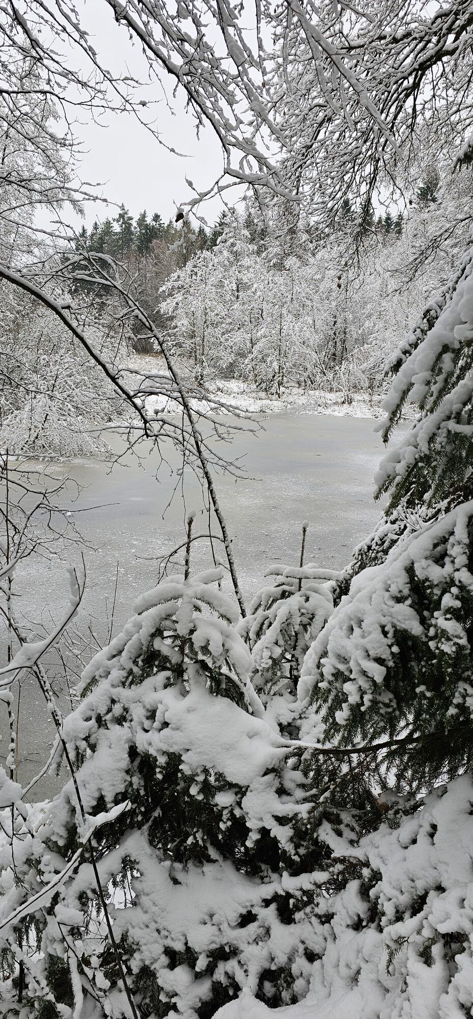
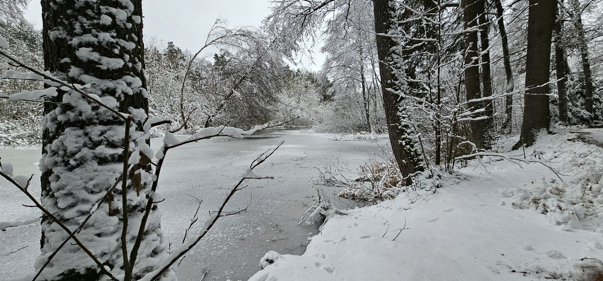
Le long de l'ancienne muraille de la ville, le chemin se dirige vers l'étang Mörter à travers un petit lotissement dans la Saaß ; des formations rocheuses intéressantes, comme le chapeau et la pierre du diable, peuvent être admirées sur le trajet vers Schandachen. On peut voir très clairement au rocher du diable les traces des griffes laissées par le seigneur des enfers ! Le chemin de retour traverse le paysage du Waldviertel, notamment à côté du parcours de golf, puis descend vers le lac Herrensee.

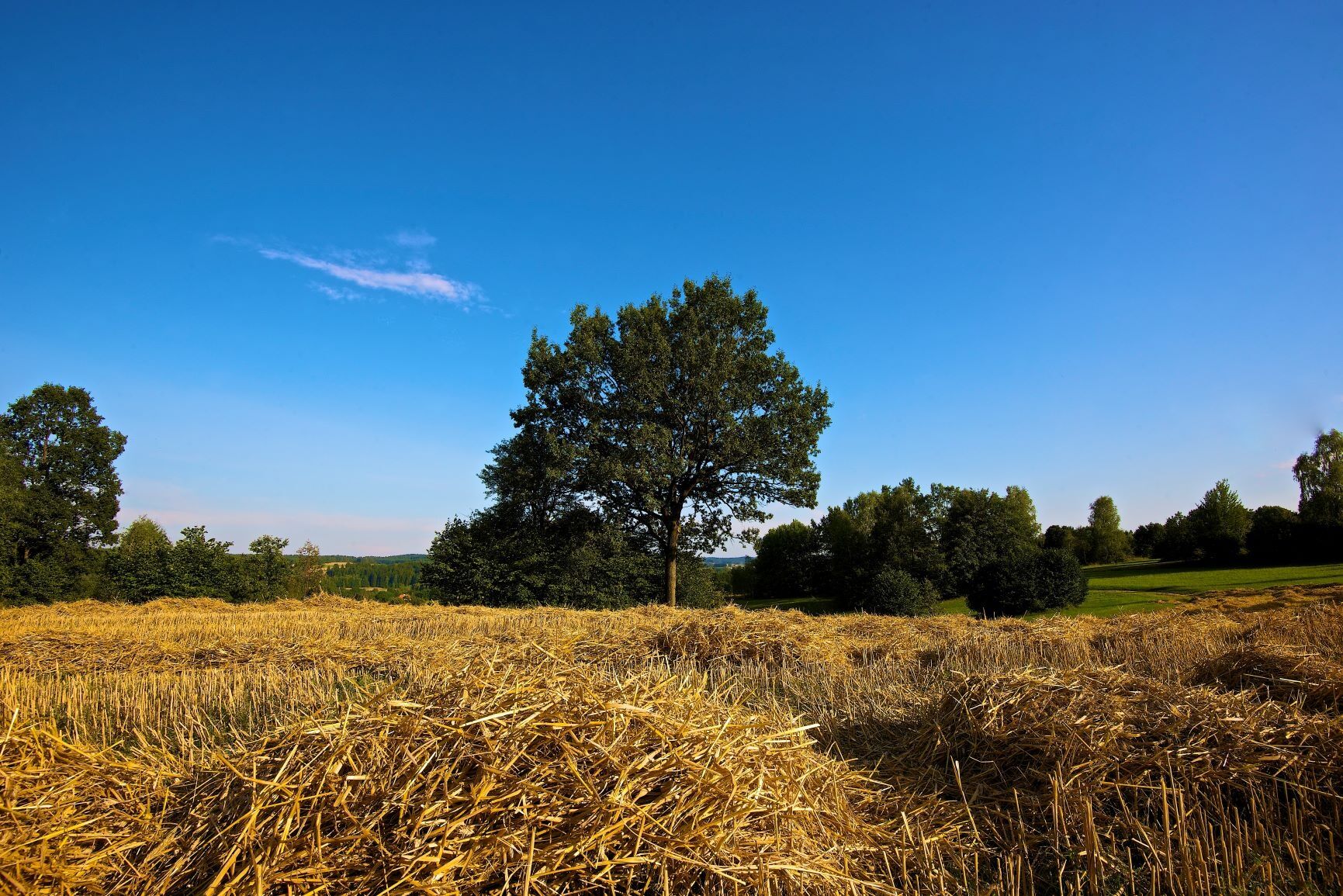
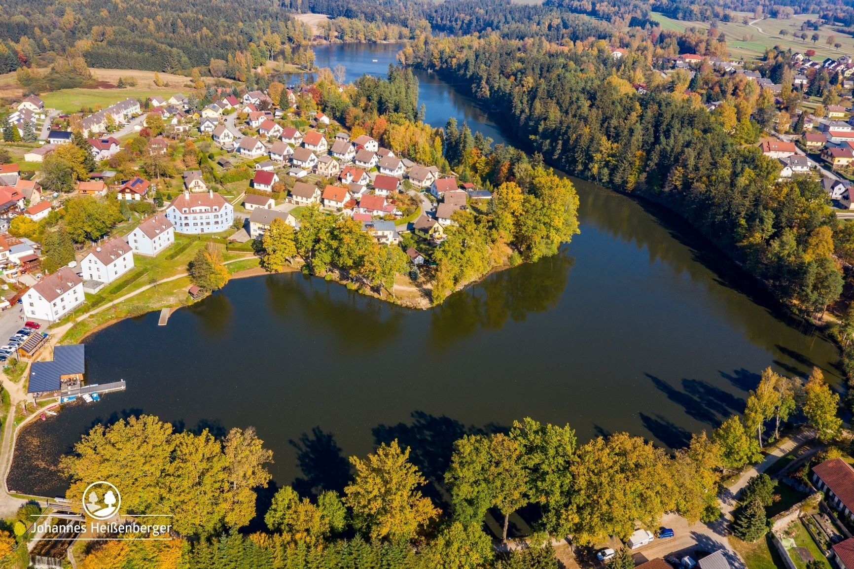
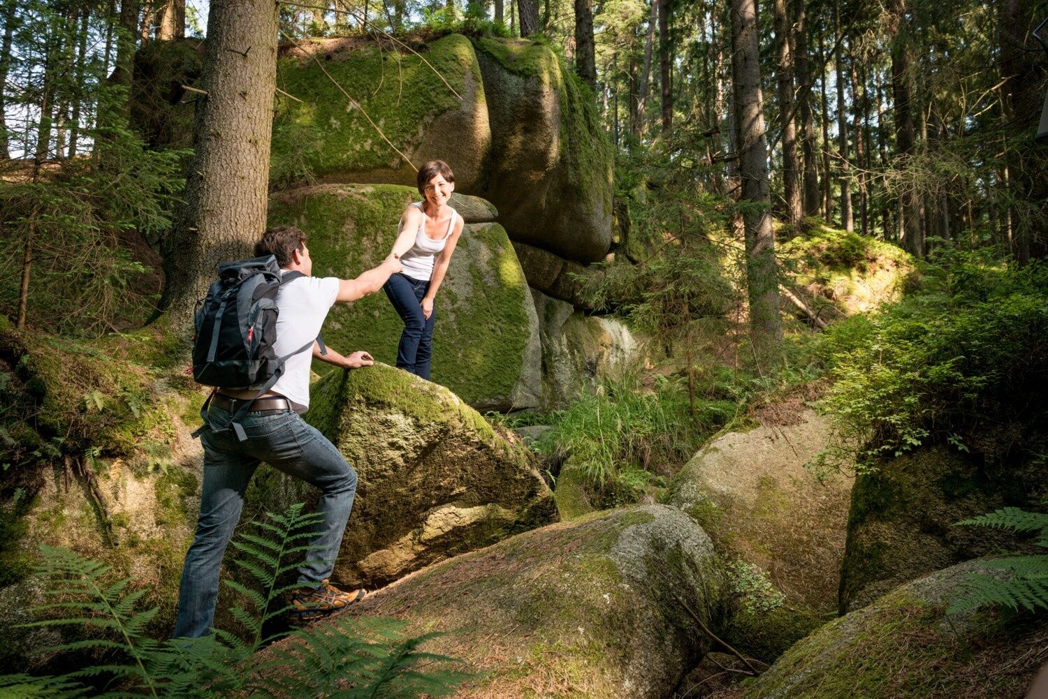
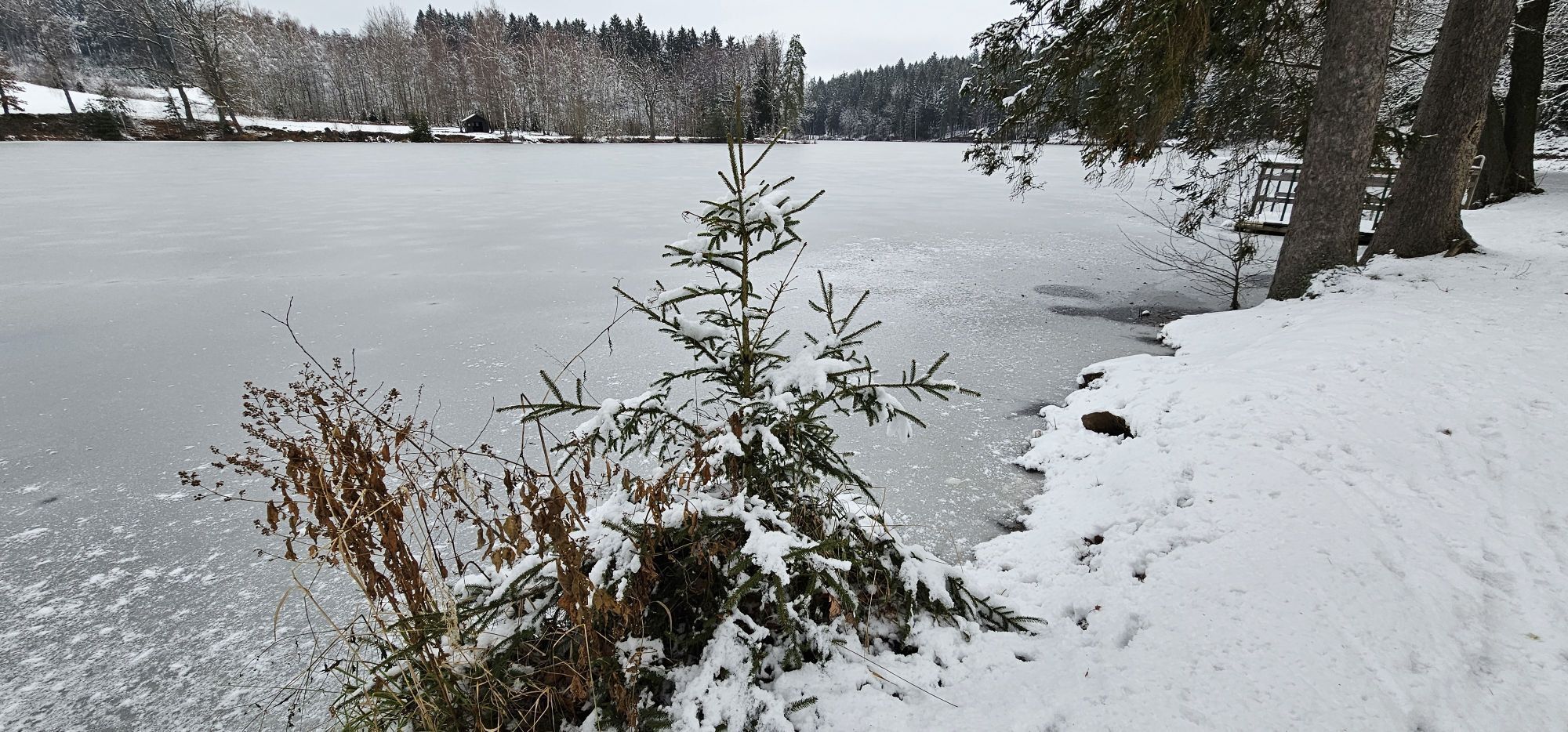
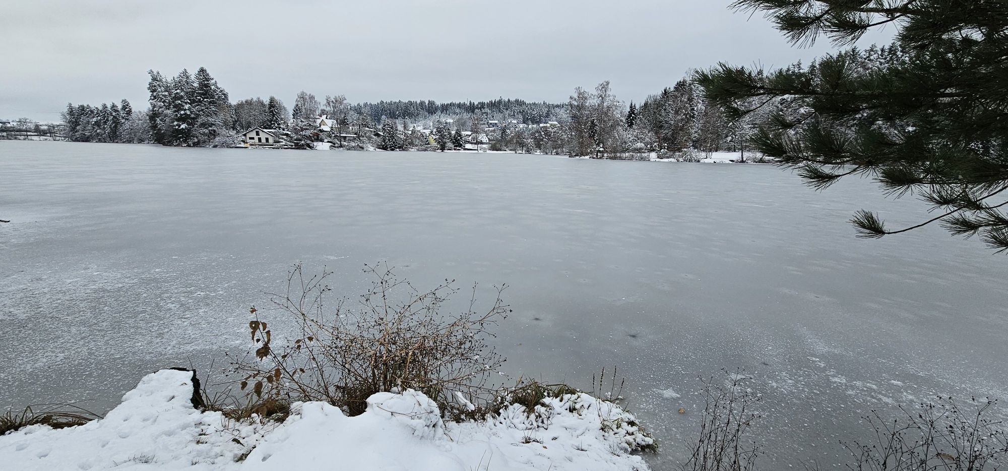
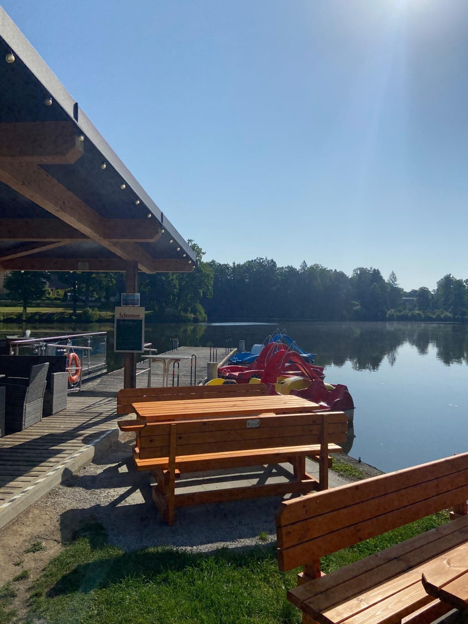
D'abord à droite au lac Herrensee, puis le long de la muraille de la ville en passant par l'étang Mörter, le chemin traverse un petit lotissement jusqu'à un court bois. Après avoir traversé la route de Schandach, allez à gauche après 100 mètres vers la route Saaßer, puis à droite, passant par de petites fermes et maisons. De nouveau à droite à travers la forêt, nous atteignons la pierre du chapeau, puis la pierre du diable. Ensuite, continuation vers Schandachen, où, en face de la caserne des pompiers, le chemin passe entre les écuries et les granges vers les champs ouverts. Le long du pâturage, nous marchons vers la forêt, franchissons la petite digue, puis immédiatement à droite dans la forêt dense. Sur la route forestière, nous restons à droite et après quelques minutes, retrouvons la route Saaßer que nous suivons vers la gauche. Peu après l'aire de repos « Trois frères », un chemin de campagne bifurque à droite. À travers la forêt jusqu'à la rue Hörmannser, puis en bordure du parcours de golf, descente raide vers le lac Herrensee. Ici, vous avez le choix : à gauche, vous raccourcissez votre randonnée d'environ 40 minutes, à droite, vous faites encore le tour complet du lac Herrensee.
Chaussures solides, vêtements fonctionnels, protection solaire et contre la pluie, cartes, éventuellement bâtons télescopiques, trousse de premiers secours (pansements anti-ampoules), provisions suffisantes (collation, barre de céréales, fruits, eau).
Caractéristiques du parcours : 40 % asphalte, 60 % chemin forestier et sentiers de prairie
Assurez-vous que le parcours choisi correspond à votre condition physique. Vérifiez si les établissements de restauration que vous souhaitez visiter en chemin sont ouverts. Mettez votre téléphone portable et les cartes dans votre sac à dos.
En bus depuis Göpfritz ou Gmünd jusqu'à Litschau. Le trajet de Gmünd à Litschau avec le train nostalgique Waldviertelbahn est particulièrement recommandé.
Parking gratuit sur la place de la ville ainsi qu'un parc-relais à proximité immédiate
Information touristique de la commune de Litschau
3874 Litschau, Stadtplatz 25
(T) +43 2865 219-24
(E) gemeinde@litschau.at
(I) www.litschau.at
Tourisme Waldviertel
3910 Zwettl, Sparkassenplatz 1/2/2
(T) +43 2822 54109
(E) info@waldviertel.at
(I) www.waldviertel.at
« Pay » et « Play » est la devise du club de golf Herrensee ! Sur le parcours compact de 18 trous, vous n'avez ni besoin d'équipement ni d'adhésion. Essayez simplement !
Parcours populaires à proximité
-
4,3
Rund um den Herrensee in Litschau
facileRandonnée 4,65 km -
4,7
Gemeinde Heidenreichstein - Winkelauer Berg - Seyfrieds
facileRandonnée 7,24 km -
Naturlehrpfad Heidenreichsteiner Moor
facileRandonnée 4,56 km -
5,0
Waldweg des Naturparks Heidenreichsteiner Moor
facileCourir 3,79 km -
5,0
TiWaLi - Neu-Nagelberg Grenzweg, Österreich
facileRandonnée 10,7 km -
08 Eisenwurzenweg, Etappe 01: Litschau - Haugschlag - Rottal
facileChemin de Grande Randonnée 16,7 km -
4,7
Rund um Alt-Nagelberg
facileRandonnée 9,90 km -
5,0
Sentier Höllgraben
moyenRandonnée 8,89 km -
5,0
Pfaffenschlag über die europäische Hauptwasserscheide in den Naturpark Heidenreichsteiner Moor und zurück
facileRandonnée 16,4 km -
08 Eisenwurzenweg, Etappe 02: Haugschlag - Gmünd
facileChemin de Grande Randonnée 38,9 km
Randonnée et suivi


Ne manquez pas les offres et l'inspiration pour vos prochaines vacances
Votre adresse électronique a été ajouté à la liste de diffusion.