


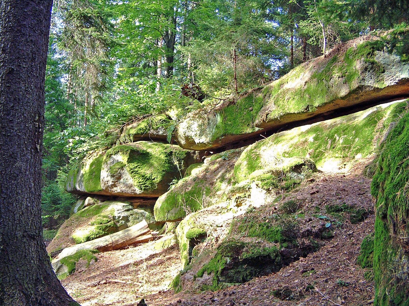
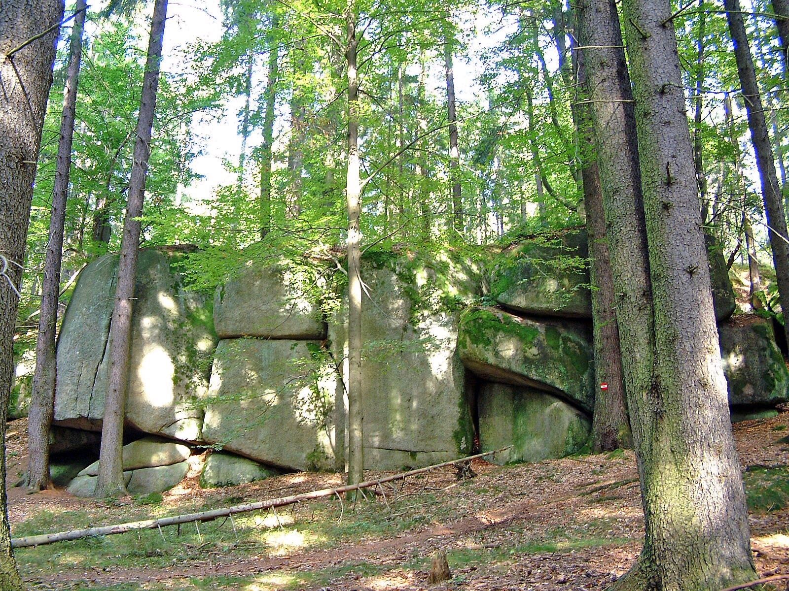
Vers le rocher Grasel - ravin Dachsengraben

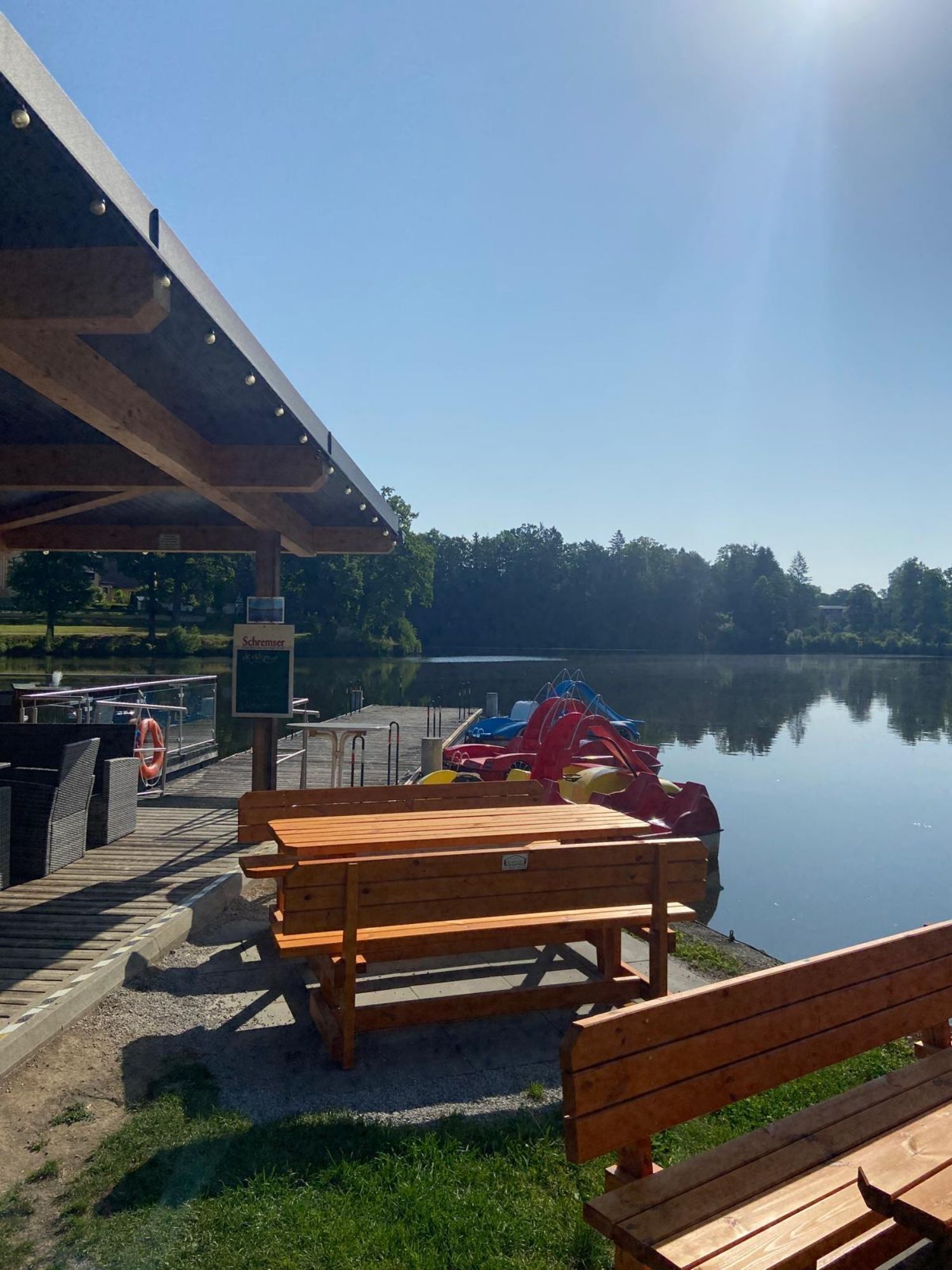
La randonnée nous mène un moment le long du lac Herrensee à travers la forêt. Un petit monument en pierre ainsi que, un peu plus tard, la « Colonne de pierre du chemin » bordent le chemin varié jusqu'à...
La randonnée nous mène un moment le long du lac Herrensee à travers la forêt. Un petit monument en pierre ainsi que, un peu plus tard, la « Colonne de pierre du chemin » bordent le chemin varié jusqu'à l'entrée du ravin Dachsengraben menant à la grotte Graselhöhle.
Selon la légende, ce groupe granitique abritait autrefois le célèbre et redouté chef des voleurs Grasel, qui n'était guère un bon garçon. Il commettait ses brigandages de préférence dans des maisons modestes ; d'après la tradition, Grasel avait à son actif environ 200 crimes dans la région du Waldviertel !
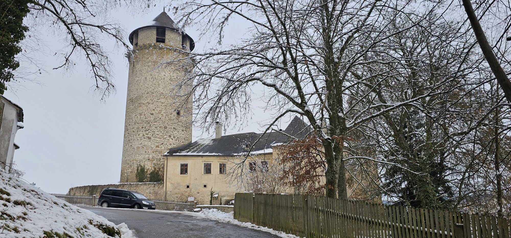
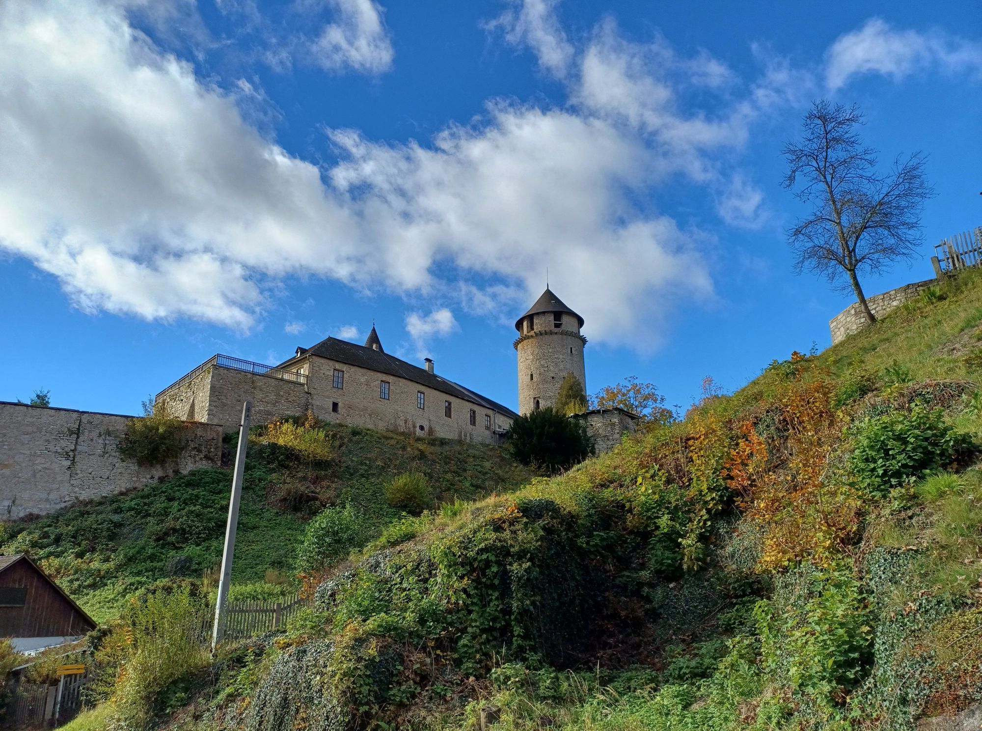
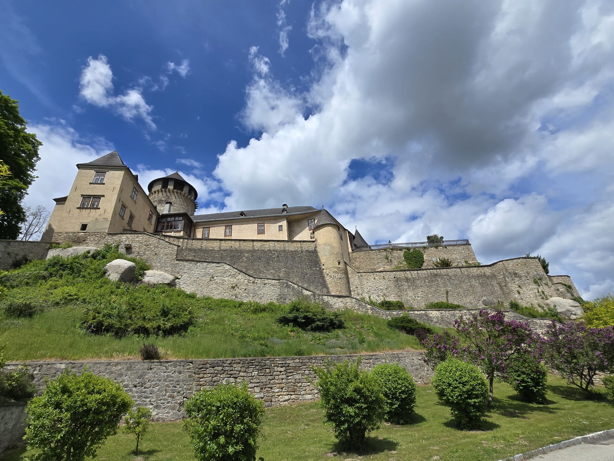
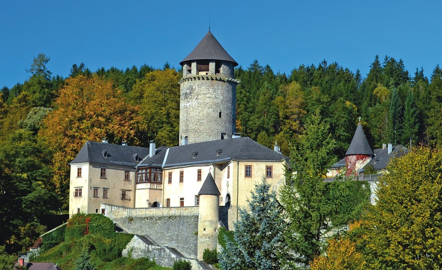
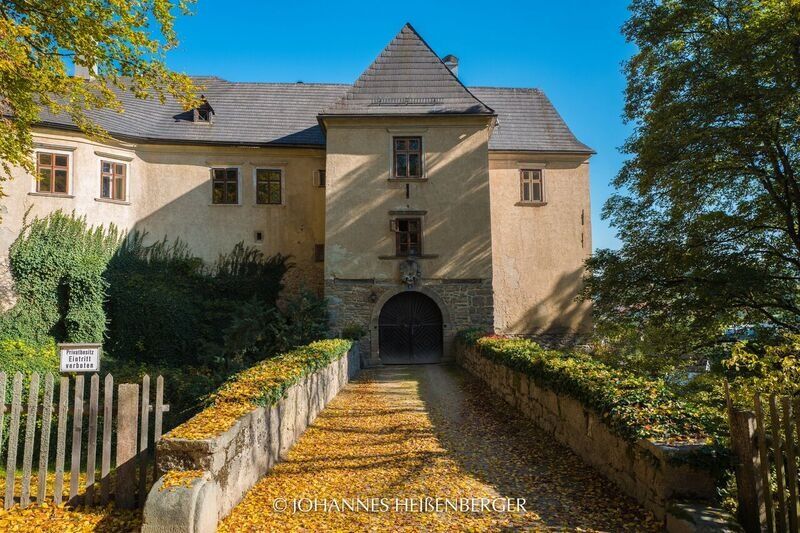
Le sentier traverse cette région proche de la forêt primaire et mène dans le ravin romantique Dachsengraben jusqu'au fond du ravin. Sur un chemin en rondins, on passe par une petite zone marécageuse jusqu'à l'étang isolé de Richterteich. Sur le chemin boisé suivant, on traverse les zones d'habitat « Kashof », Schlag et Seilerndorf, avant d'arriver au château de la famille Seilern-Aspang.
Randonnée absolument recommandable et variée à travers la région !

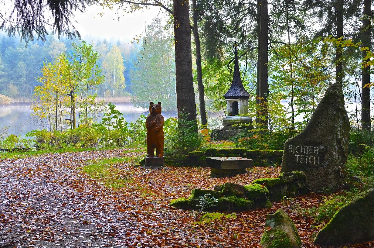
Les 30 premières minutes du chemin se déroulent conjointement avec le sentier n° 13 le long du lac Herrensee sur la gauche, puis montent jusqu'à l'aire de repos de la « Colonne de pierre du chemin ». Peu après, les chemins se séparent, le numéro 12 se dirige tout droit vers la forêt, puis descend dans le mystérieux ravin Dachsengraben, continue sur un chemin de rondins jusqu'à l'étang Richterteich. Des sièges ainsi qu'un petit monument invitent ici à s'attarder et à profiter.
Ensuite, le chemin forestier monte rapidement, on traverse une route et quelques maisons, le « Kashof », apparaissent. Le chemin traverse forêts et prairies jusqu'à la digue de Schläger Wehr, puis continue vers le village de Schlag. Nous nous trouvons maintenant sur un tronçon du sentier circulaire des 7 villages n° 20, qui suit un certain temps la même direction. Après avoir atteint le point le plus haut du chemin, il redescend vers l'étang Kufsteinteich. En passant par le sentier didactique de la forêt avec son hôtel à insectes d'une hauteur d'homme et l'horoscope des arbres, on revient au Herrensee en passant par le château de la famille Seilern-Aspang.
Chaussures solides, vêtements fonctionnels, protection solaire et contre la pluie, cartes, éventuellement bâtons télescopiques, trousse de premiers secours (pansements pour ampoules), suffisamment de provisions (encas, barres de céréales, fruits, eau).
Caractéristiques du parcours : 20 % en bitume, 80 % chemins en forêt et prairies
Assurez-vous, en choisissant le parcours, qu'il correspond à votre condition physique. Vérifiez si les établissements gastronomiques que vous souhaitez visiter sont ouverts. Mettez votre téléphone portable et les cartes dans votre sac à dos.
Bus depuis Göpfritz ou Gmünd jusqu'à Litschau. Le trajet de Gmünd à Litschau avec le train nostalgique du Waldviertel est particulièrement recommandé.
Vous pouvez planifier votre itinéraire précis avec le planificateur d'itinéraire de la VOR. www.vor.at
Parking gratuit sur la place de la ville ainsi qu'une aire de stationnement & navette à proximité immédiate
Commune de Litschau
Information touristique
3874 Litschau, place de la ville 25
(T) +43 2865 219-24
(E) gemeinde@litschau.at
(I) www.litschau.at
Tourisme Waldviertel
3910 Zwettl, place Sparkasse 1/2/2
(T) +43 2822 54109
(E) info@waldviertel.at
(I) www.waldviertel.at
Après la randonnée, profitez de la cuisine locale avec ses spécialités typiques du Waldviertel.
Parcours populaires à proximité
-
4,3
Rund um den Herrensee in Litschau
facileRandonnée 4,65 km -
4,7
Gemeinde Heidenreichstein - Winkelauer Berg - Seyfrieds
facileRandonnée 7,24 km -
Naturlehrpfad Heidenreichsteiner Moor
facileRandonnée 4,56 km -
5,0
Waldweg des Naturparks Heidenreichsteiner Moor
facileCourir 3,79 km -
5,0
TiWaLi - Neu-Nagelberg Grenzweg, Österreich
facileRandonnée 10,7 km -
08 Eisenwurzenweg, Etappe 01: Litschau - Haugschlag - Rottal
facileChemin de Grande Randonnée 16,7 km -
4,7
Rund um Alt-Nagelberg
facileRandonnée 9,90 km -
5,0
Sentier Höllgraben
moyenRandonnée 8,89 km -
08 Eisenwurzenweg, Etappe 02: Haugschlag - Gmünd
facileChemin de Grande Randonnée 38,9 km -
3,0
Grenzlandwanderung Reingers/Böhmerwald
facileRandonnée 12,6 km
Randonnée et suivi


Ne manquez pas les offres et l'inspiration pour vos prochaines vacances
Votre adresse électronique a été ajouté à la liste de diffusion.