


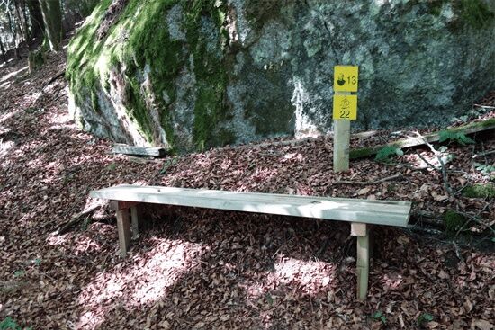
Kneipp Path No. 13
The strange stone shapes of the Yspertal valley have always fascinated people, as numerous legends and myths prove. They have yet to reveal their secrets. The 5 m high heart stone - after which two circular...
The strange stone shapes of the Yspertal valley have always fascinated people, as numerous legends and myths prove. They have yet to reveal their secrets. The 5 m high heart stone - after which two circular hiking trails are named - reminds some people of the human organ, while others - who lean towards geomancy and esotericism - recognize female forms and life symbols here and consider the granite block to be a double cult stone. In any case, it is an extremely interesting stop on a tour that also leads to other strange stone figures, such as the "skull" - which can be climbed on a staircase - or the "stone corn almond". A walk to remember.
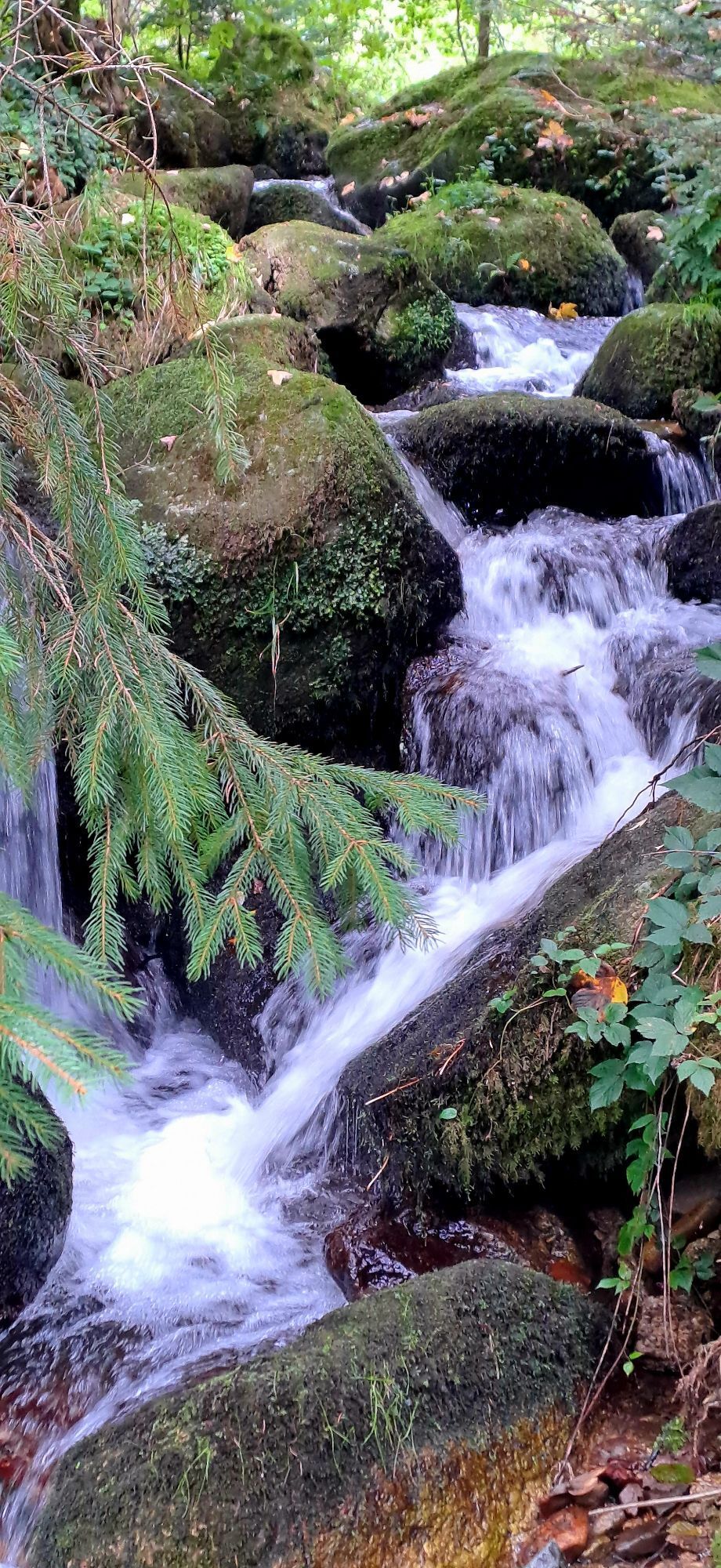
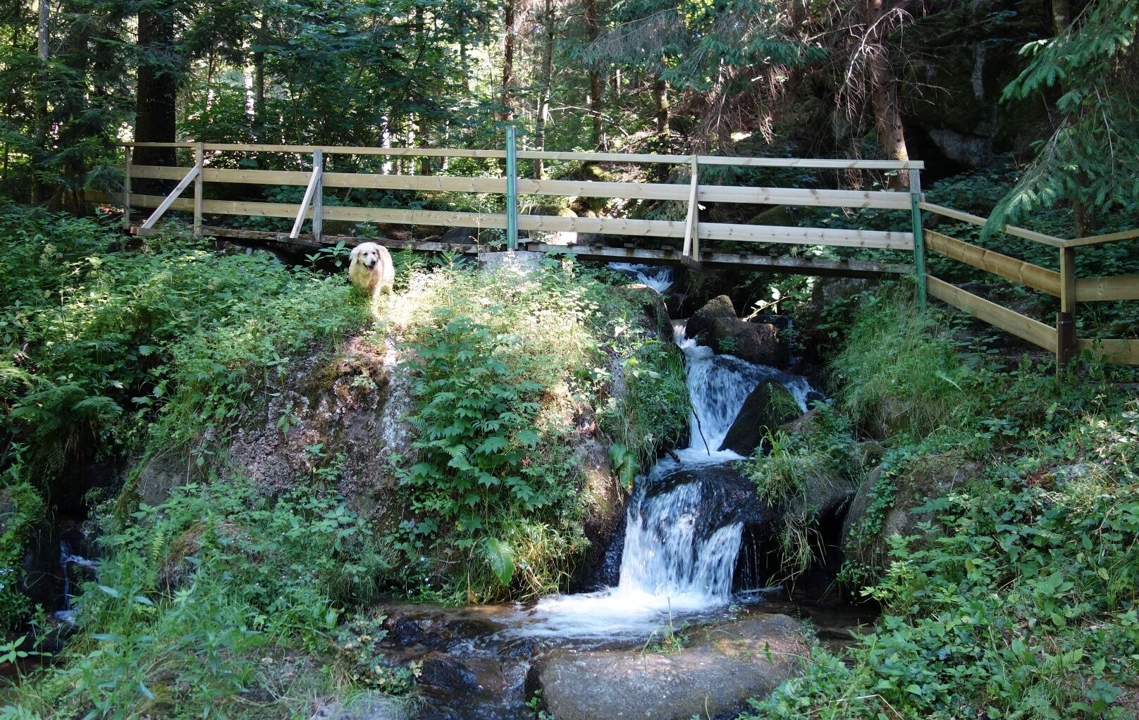
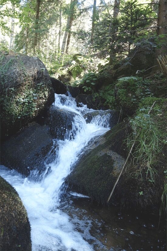
Small but beautiful is how you could describe the Loseneggerklamm gorge, not so steep but all the more pleasant to hike through! Wonderfully clear water rushing over the rocks, with lush greenery of moss and ferns.
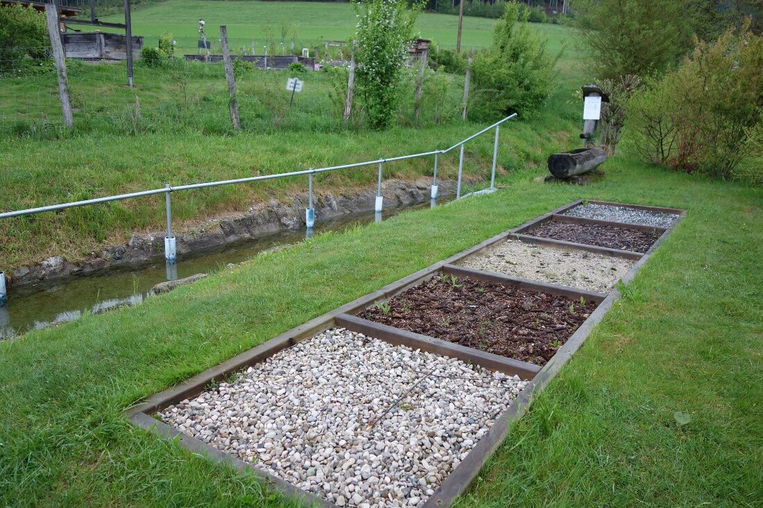
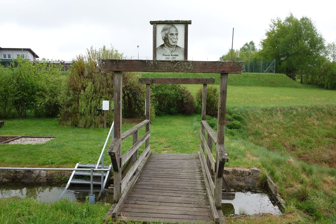
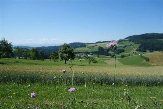
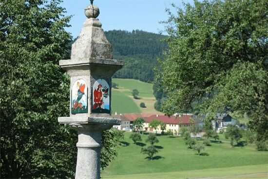
Starting from the Church Square towards the fitness circuit, where halfway you follow the Kneipp Path, to the arm bath at Dprfmühle. Passing the Raiden houses and then along the meadow path to Pellethof. On the state road past the houses Schusterlehen (cider, spelt) and the Eberl houses you come to Kronberg Mill. At the Kronberg house, the path leads left uphill to the Losenegger gorge (possibility to walk in water). At the state road turn right towards Wurzer bridge and over a beautiful forest path you reach the fitness circuit again. Continue right to the lookout tower, past the Mössgöller house (small animals), to the herb garden and Kneipp facility (possibility to walk in water and a beautiful rest and picnic area) to the bathing pond and back to St. Oswald.
Access from the West Motorway A1 via Ybbs on the Danube either via B 36 through Yspertal to St. Oswald or via Ybbs along the Danube west of Ysperdorf, direction Yspertal via Fell to St. Oswald.
Free parking is possible in front of the primary school or in front of the depot. E-charging station at the “Leithenweg” parking lot is free for charging.
Municipality of St. Oswald
3684 St. Oswald, Untere Hauptstraße 3
(T) +43 7415 7291
(I) www.stoswald.com
(Webcam) http://www.stoswald.com/Aktuelles/Webcam
Tourism Office Ysper-Weitental
3683 Yspertal, Hauptstraße 9
(T) +43 7415 6767 25
Waldviertel Tourism
3910 Zwettl, Sparkassenplatz 1/2/2
(T) +43 2822 54109
Parcours populaires à proximité
- 3,9
Yspertal: Druidenweg - Ysperklamm
moyenRandonnée 9,56 km - 4,6
Waldhausen : circuit panoramique
moyenRandonnée 14,0 km - 4,8
Stillensteinklamm, Grein
facileRandonnée 10,4 km - 4,5
Ausgedehnte Peilsteinrunde
moyenRandonnée 13,7 km - 4,4
Durch die Steinwandklamm von Maria Taferl aus
facileRandonnée 8,26 km - 4,4
Gobelwarte - Grein, Oberösterreich
moyenRandonnée 5,41 km - 4,4
Gobelwarte-Runde, Grein
moyenRandonnée 8 km - 4,6
Brandstetterkogel über Matras Steig
facileRandonnée 6,28 km - 4,0
Wolfsschlucht - auf den Spuren adeliger Kurgäste
Randonnée 2,29 km - 4,8
Herzsteinweg Ysper und Burgsteinmauer
moyenRandonnée 14,7 km

Randonnée et suivi


Ne manquez pas les offres et l'inspiration pour vos prochaines vacances
Votre adresse électronique a été ajouté à la liste de diffusion.