






To the Looshaus
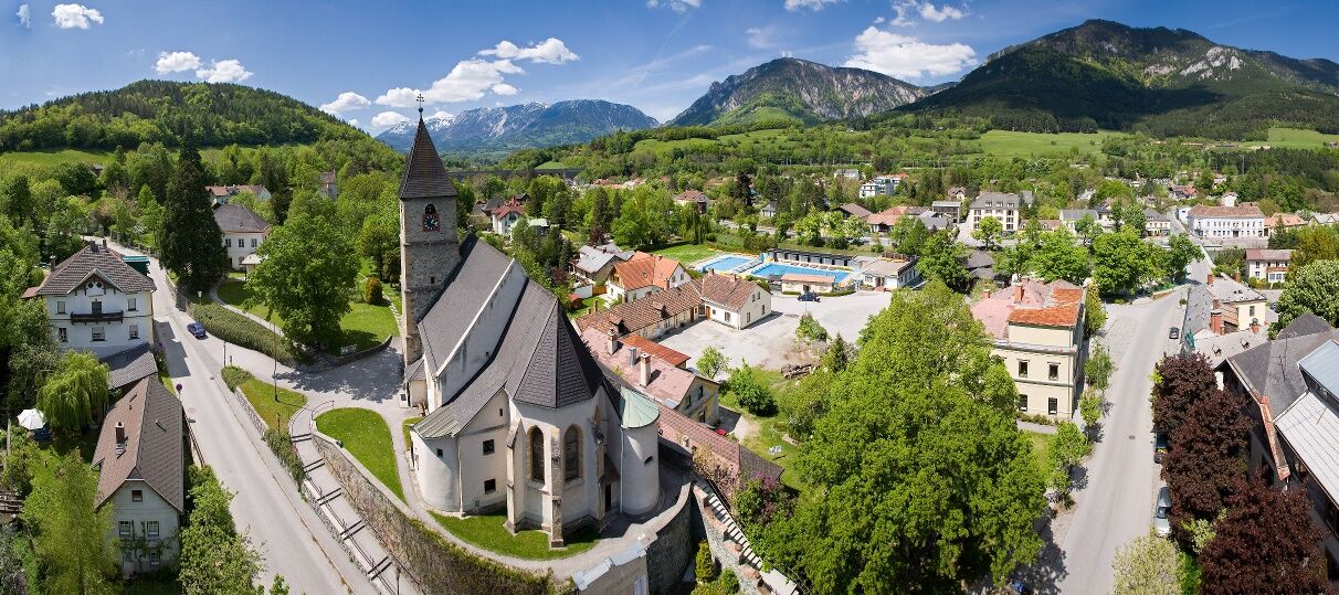
The Payerbach train station as a starting point offers an opportunity for an excursion to the World Heritage community with an outdoor pool, the Gothic fortified church, and many culinary destinations....
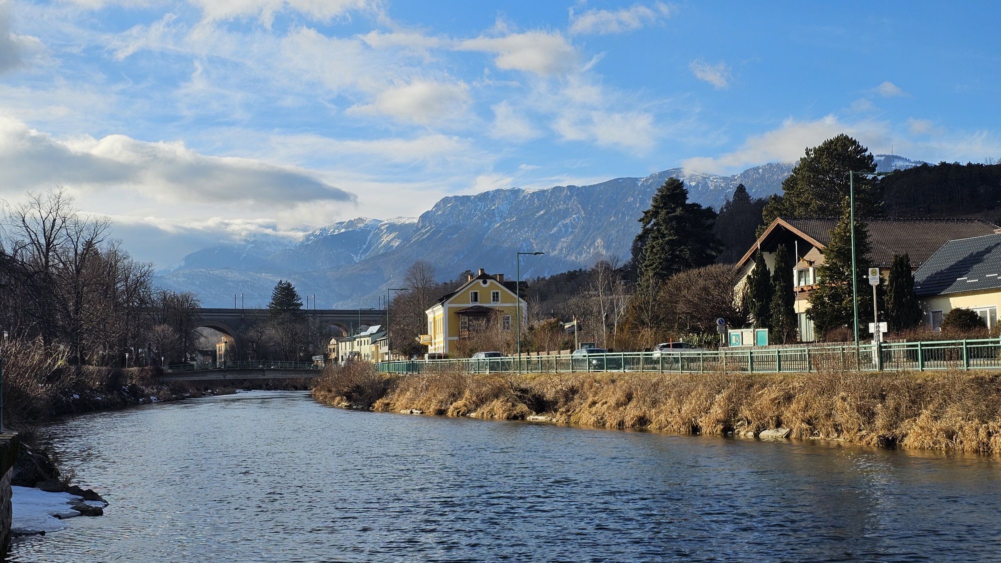
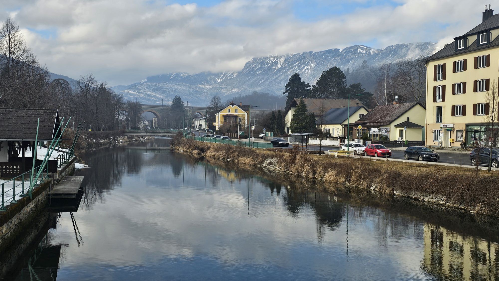
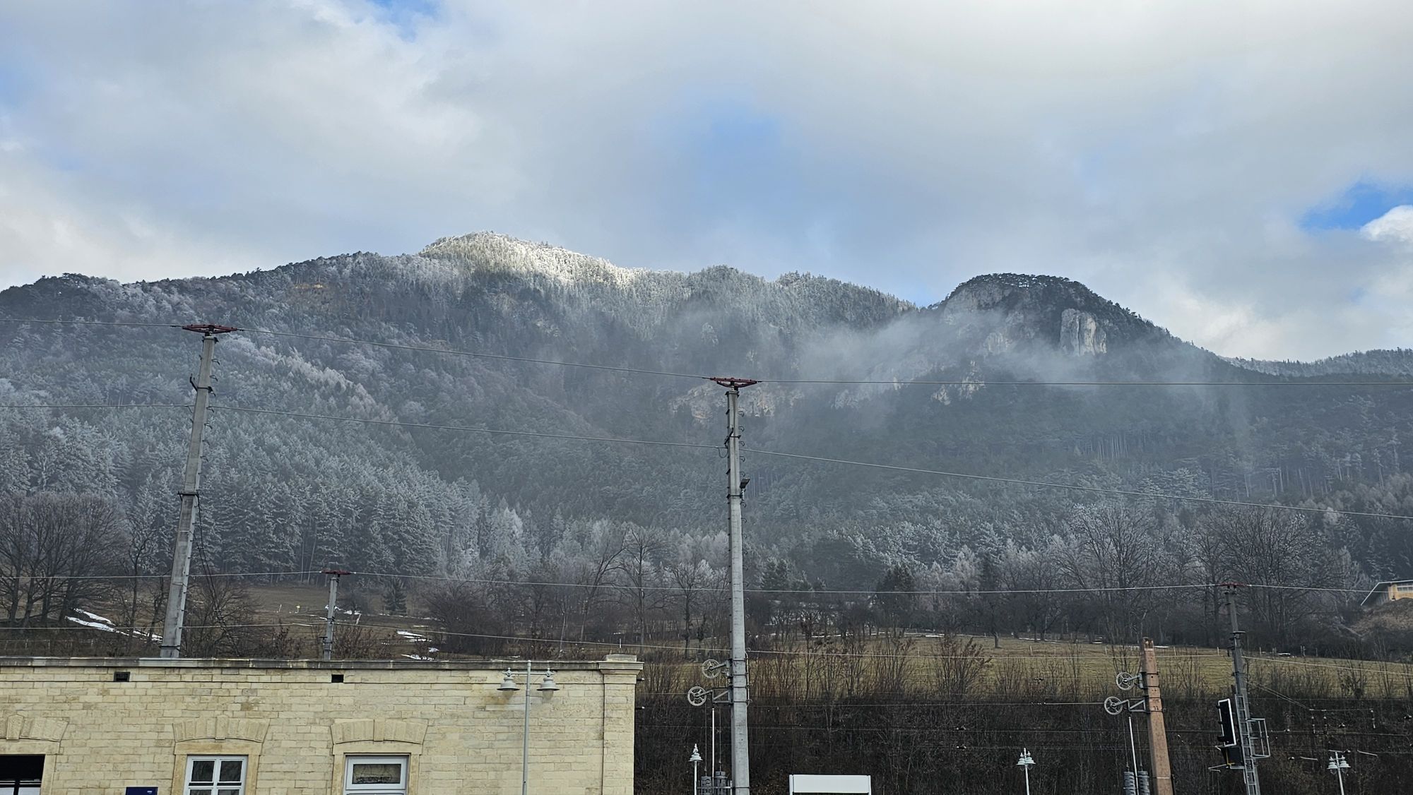
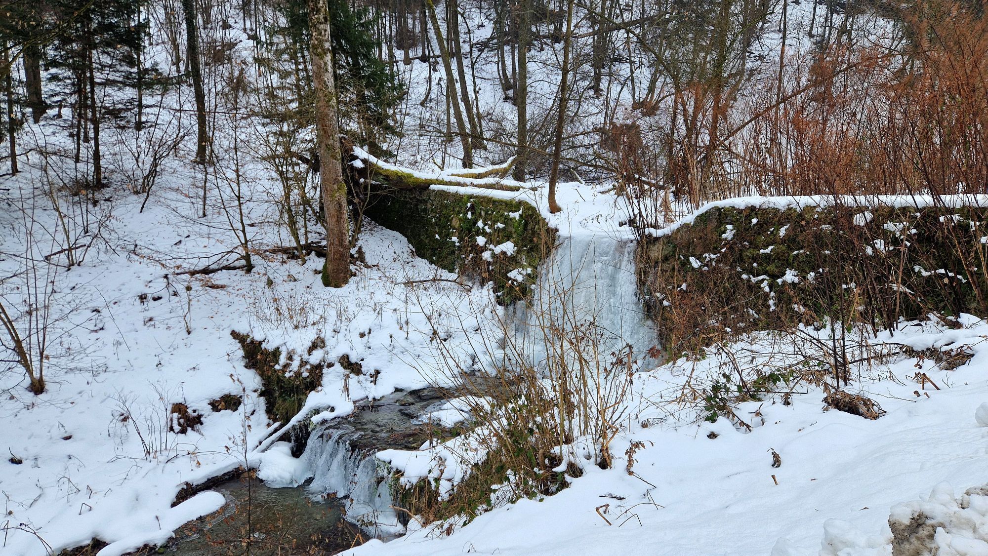
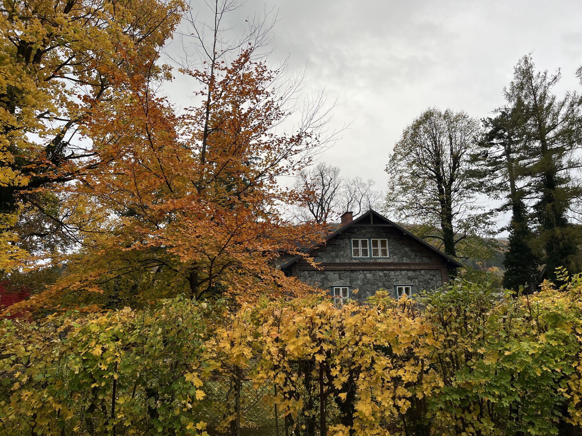
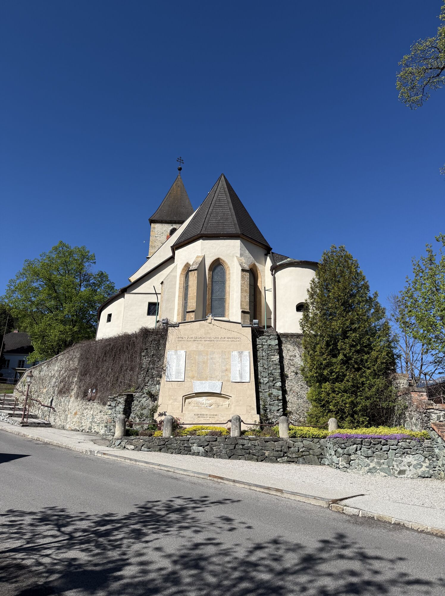
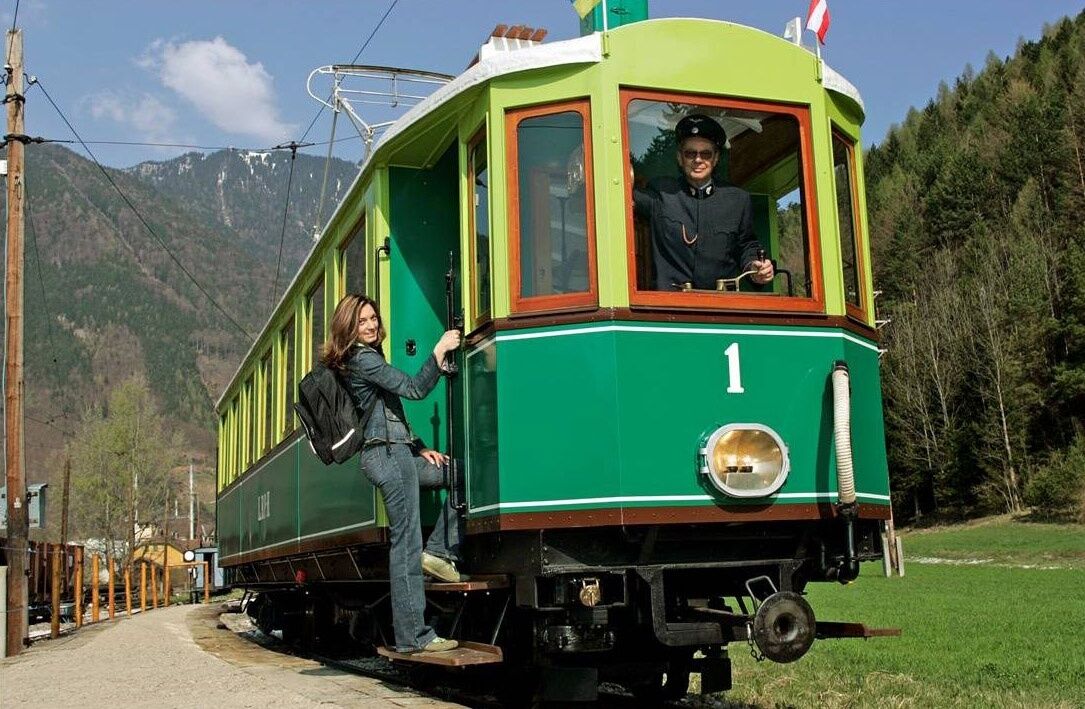
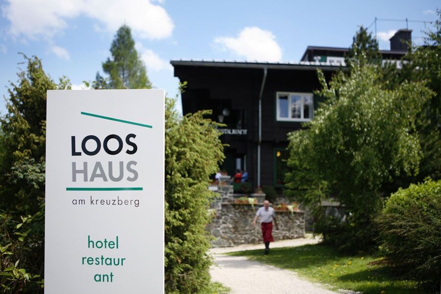
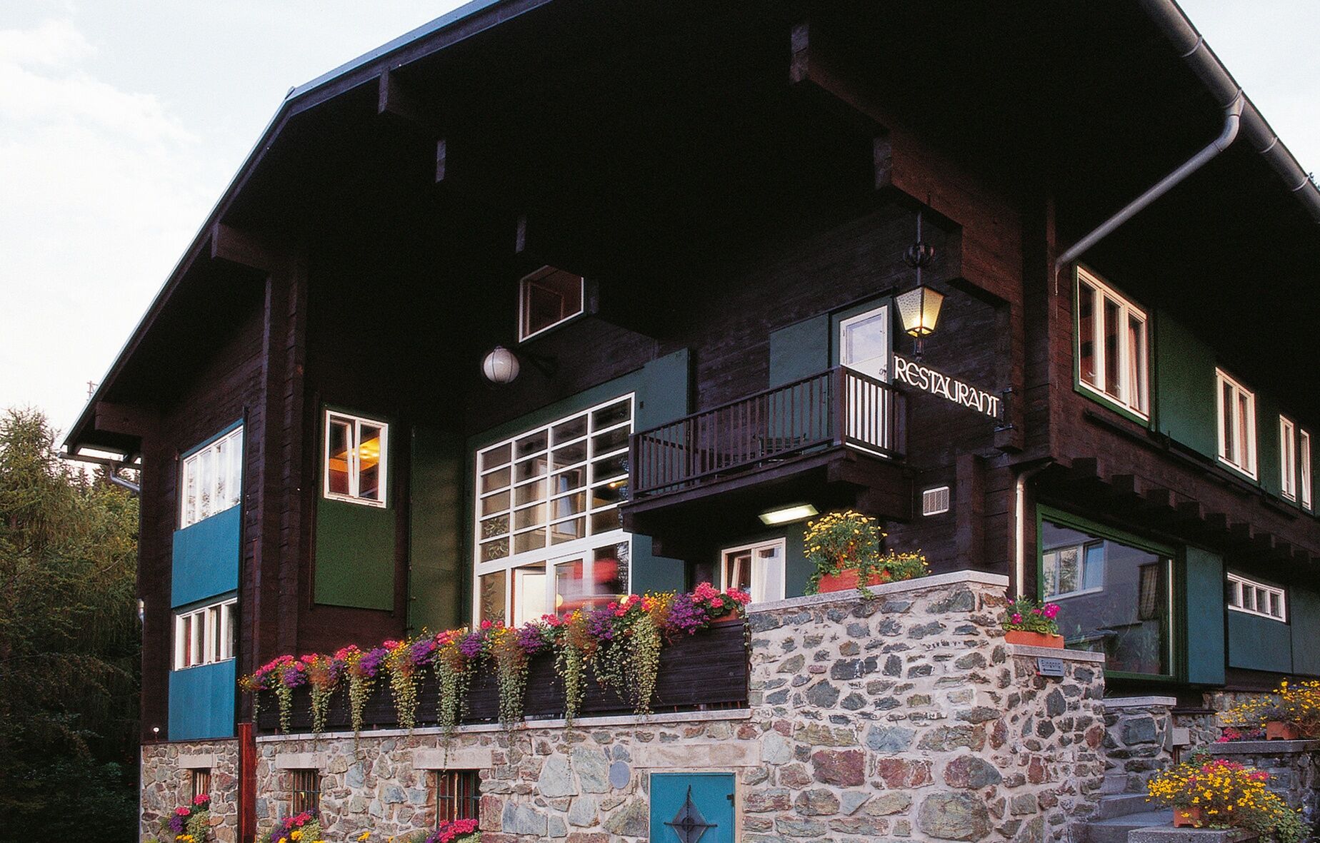
<p>The <strong>Payerbach train station</strong> as a starting point offers an opportunity for an excursion to the <strong>World Heritage community</strong> with an outdoor pool, the Gothic fortified church, and many culinary destinations. The historic station building is a listed monument, and from here departs the narrow-gauge Höllentalbahn to the Rax. The cozy hike leads through the <strong>Payerbachgraben</strong> on paved paths in less than 2 hours to the <strong>Looshaus</strong> on <strong>Kreuzberg</strong>. The former country house Khuner is not only regarded as an <strong>architectural masterpiece</strong> by Adolf Loos but is also known for its <strong>culinary delights</strong>. Traditional home-style cooking is interpreted in a modern way, with regional and seasonal classics such as Kreuzberg trout, Payerbach alpine salmon or lamb from Althammerhof being served. The chef, Adolf Sehn, who is a passionate hunter and butcher, also produces and offers game specialties such as venison pâtés and wild ham.
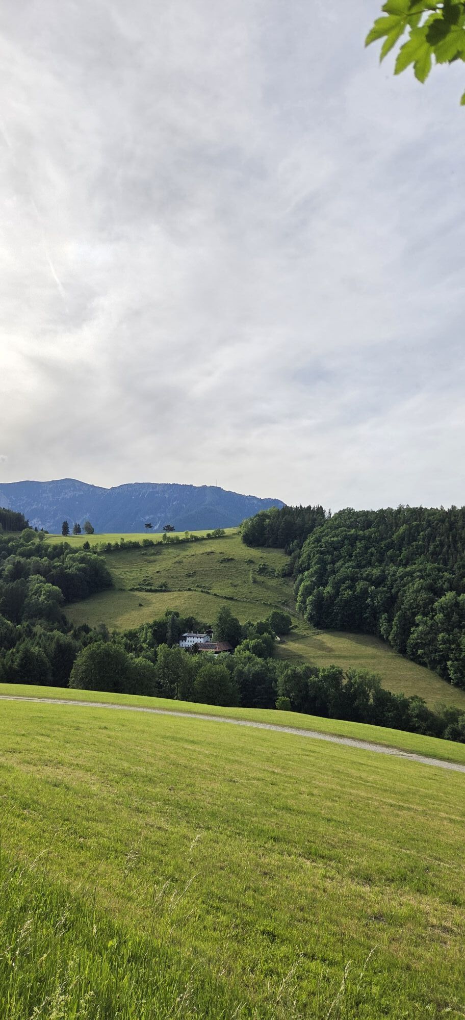
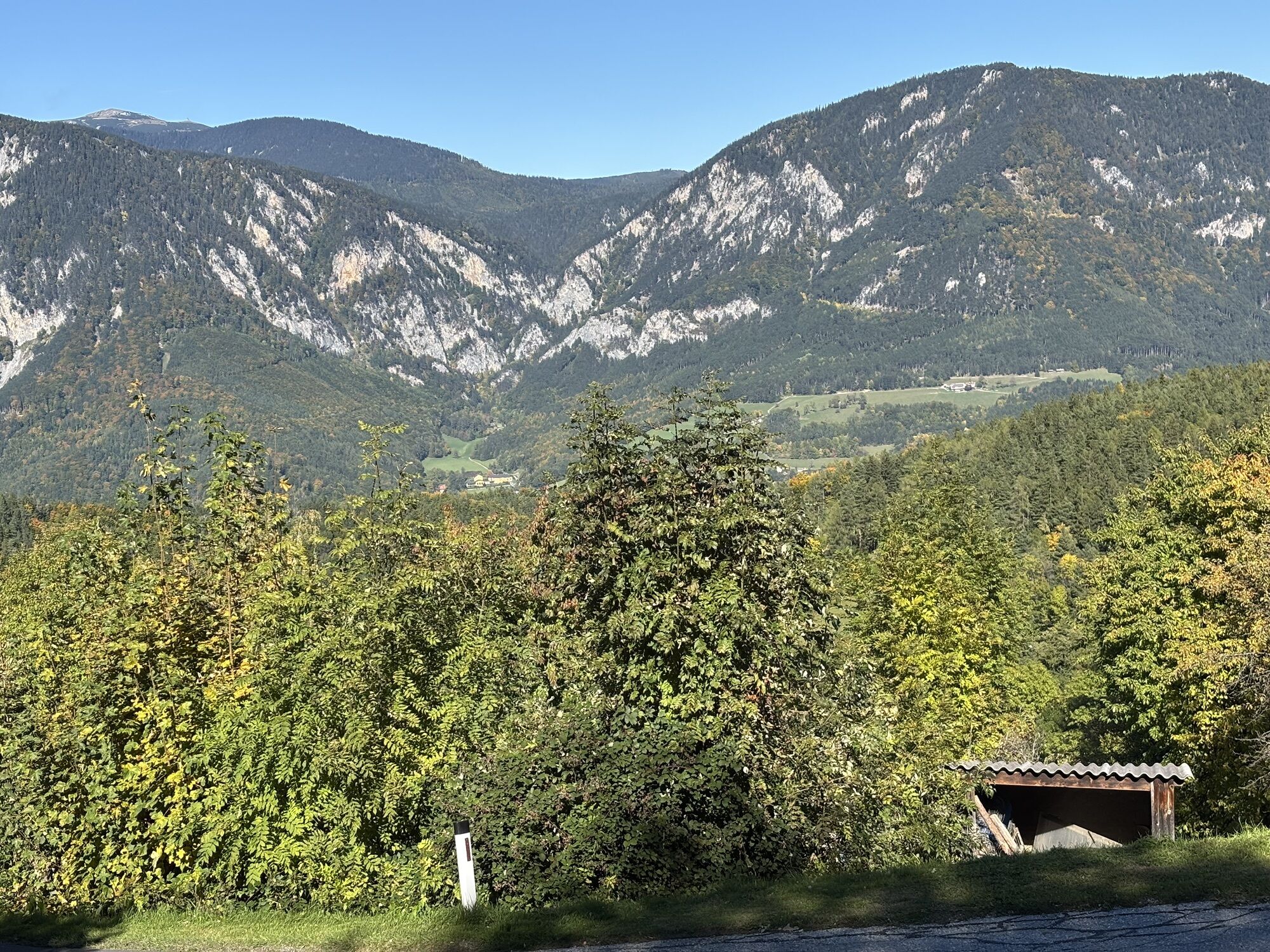
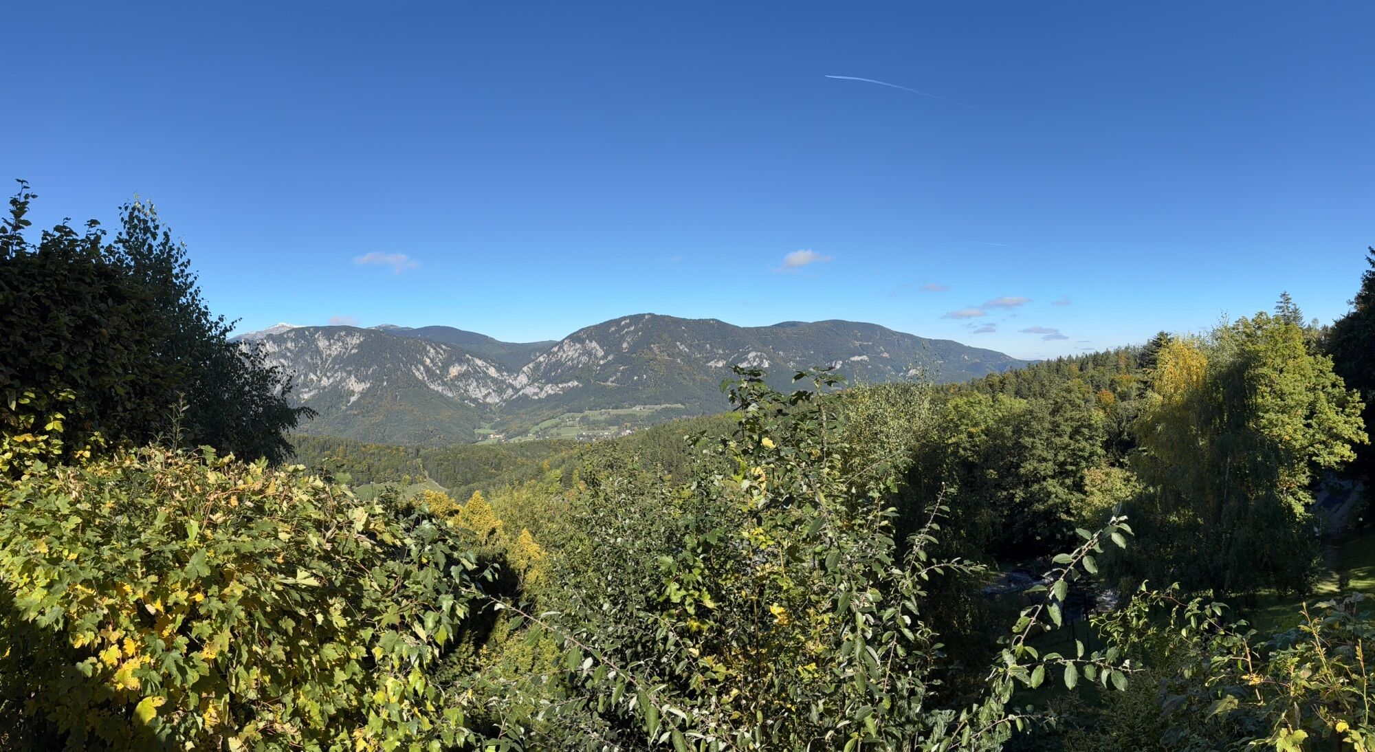
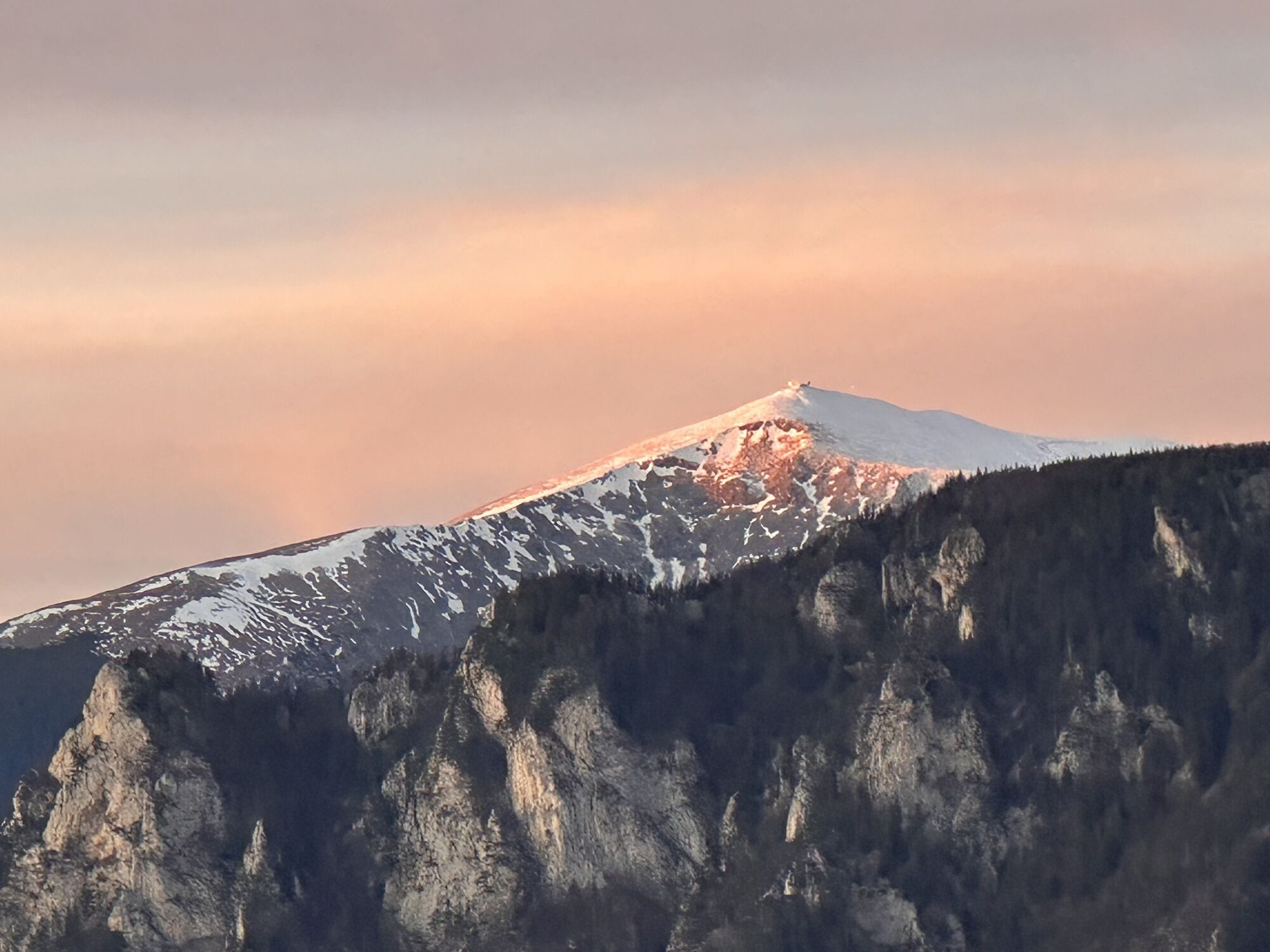
</p><p>After so many culinary delights, guests also enjoy a unique <strong>view of the mountain world</strong> of the Vienna Alps. Overnight stays are also possible at the Looshaus.</p><p>Not far away is the Speckbacherhütte on Kreuzberg, accessible by a circular hike from Payerbach.</p>

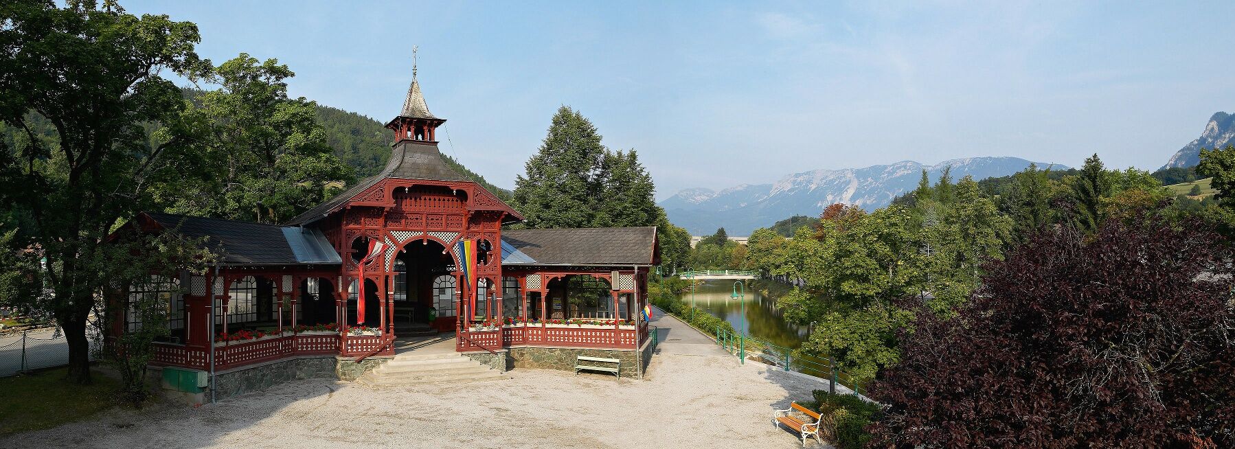
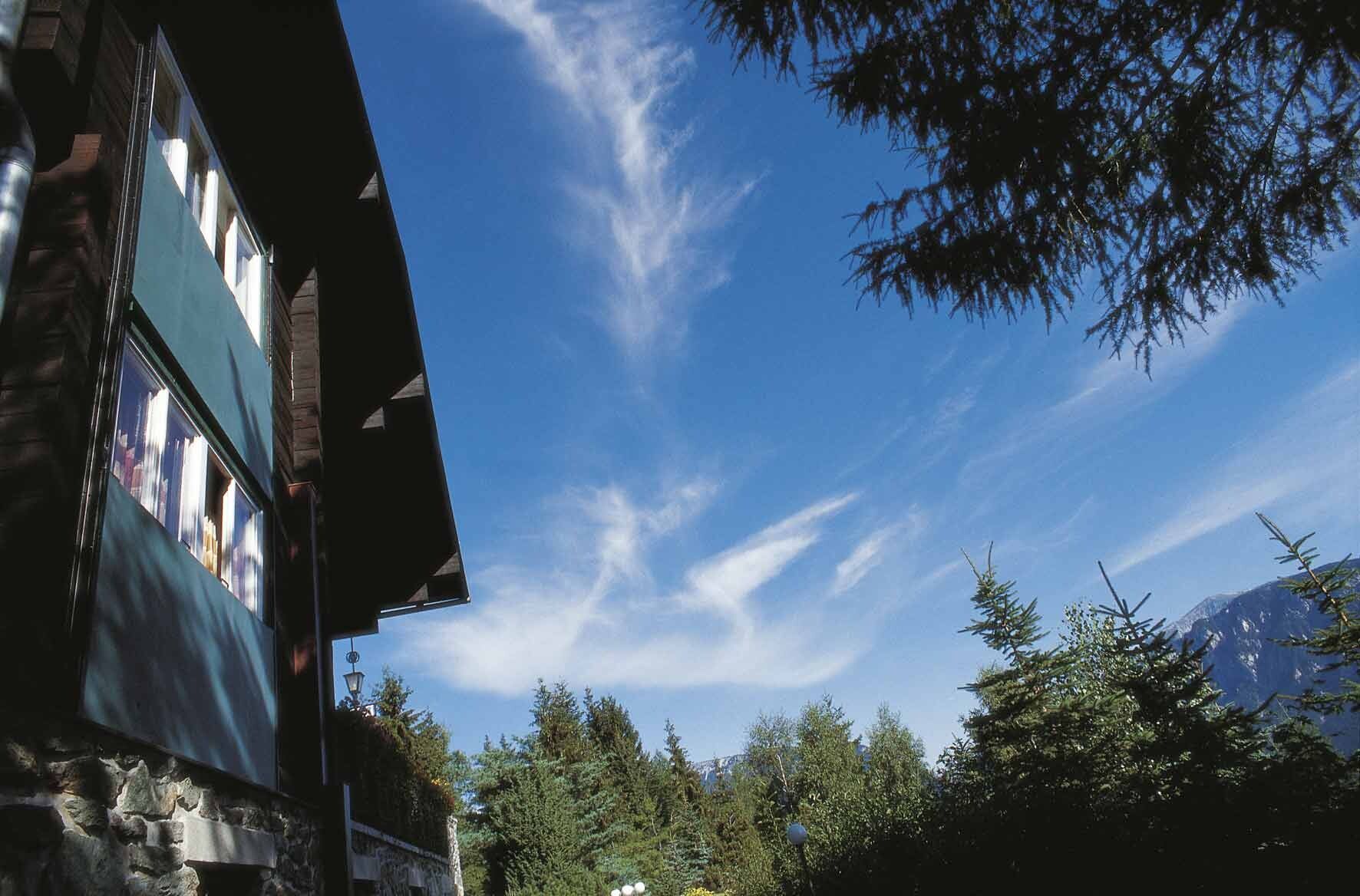

<p>We start at the train station in Payerbach, turning right across Bahnhofsplatz and Bahnhofstraße. We continue straight via Ortsplatz towards the church and town hall. Then we proceed along Karl-Feldbacher-Straße to Kreuzberg. Now we hike along the blue markers through the Payerbachgraben. After two kilometers, we turn left up the street until after 1.6 kilometers we turn right to the Looshaus.</p>
<p>Always take suitable <strong>maps</strong> with you. Wear sturdy <strong>shoes</strong> adapted to the route, take sun and rain protection, as well as water and a snack. Take your <strong>mobile phone</strong> and save the mountain rescue emergency number: 140</p>
<p>Make sure the route you choose matches your experience and <strong>fitness</strong>. Check the <strong>weather forecast</strong> in advance. Weather in the mountains can change rapidly. Therefore, always start properly equipped (e.g., rain protection).
</p><p>Check whether the <strong>huts and snack stations</strong> you want to visit are open. <strong>Inform</strong> someone about your chosen route and expected return before you start.</p>
<p>By car coming from Vienna, take the S6 at the Seebenstein junction via the Gloggnitz exit to Payerbach.
</p><p>From the direction of Bruck/Mur, take the S6 at the Gloggnitz exit to Payerbach.</p>
<p>Take the ÖBB to Payerbach-Reichenau train station. Also observe the bus schedules (Retter lines).
</p><p>More information at <a href="www.oebb.at">www.oebb.at</... or <a href="www.vor.at">www.vor.at</a&...
<p>At the park & ride facility at Payerbach station or in the town center.</p>
Looshaus, www.looshaus.at
Community of Payerbach, www.payerbach.at
Tourism Payerbach,
Vienna Alps in Lower Austria, www.wieneralpen.at, +43 / 2622 / 78960
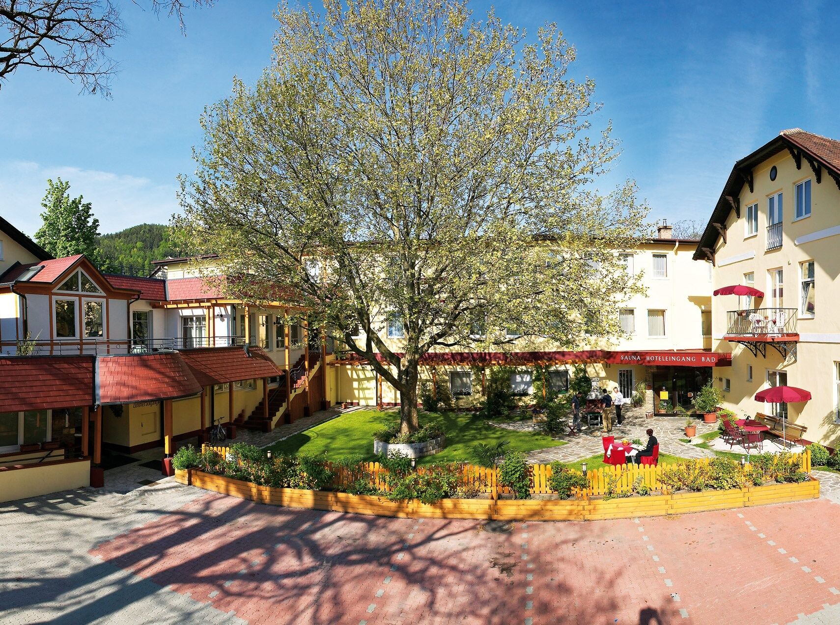
Combine your hike with a stay at the Hotel Payerbacher Hof or at the Looshaus!
Obtenez un aperçu
Toujours en direct avec plus de 9.500 webcams. En tant qu'utilisateur Pro, vous pouvez désormais voir les webcams correspondantes à de nombreuses randonnées dans l'application de randonnées de bergfex. Vous pouvez ainsi voir directement les conditions actuelles.

Parcours populaires à proximité
-
4,6
Losenheim: Edelweißhütte - Fadensteig - Fischerhütte
moyenRandonnée 11,5 km -
4,7
Zahnradbahn und Wandern am Schneeberg - Plateauwanderung
moyenRandonnée 6,90 km -
4,8
Rax - Heukuppe
Randonnée 15,6 km -
4,8
Promenade culturelle Payerbach-Reichenau
facileRandonnée 7,43 km -
3,7
Schwaigen Rundwanderung
facileRandonnée 8,24 km -
5,0
"Weichtalklamm" über Stock und Stein durch das Höllental - Weichtalhaus - Kientallerhütte 1340m
moyenRandonnée 14,0 km -
4,9
Insider tip: Schneeberg via the Novembergrat
difficileRandonnée 13,5 km -
4,9
Reißtalersteig und Gretchensteig
difficileRandonnée 8,10 km -
4,9
RAX Preiner Gscheid Waxriegel Predigtstuhl Heukuppe Karl L.Haus ret. 20210908
moyenRandonnée 12 km -
4,9
SCHNEEBERG Losenheim Nandlgrat Klosterwappen Fadenweg 28.09.2017
difficileRandonnée 15 km
Randonnée et suivi


Ne manquez pas les offres et l'inspiration pour vos prochaines vacances
Votre adresse électronique a été ajouté à la liste de diffusion.





