







Hike to the Mönichkirchner Schwaig (from Mönichkirchen)

A trip to Mönichkirchen offers variety and activities for the whole family. Adventure and action can be found on the roller and mountain cart track in Mönichkirchen or at the Hamari Kraxlpark. Peace and...
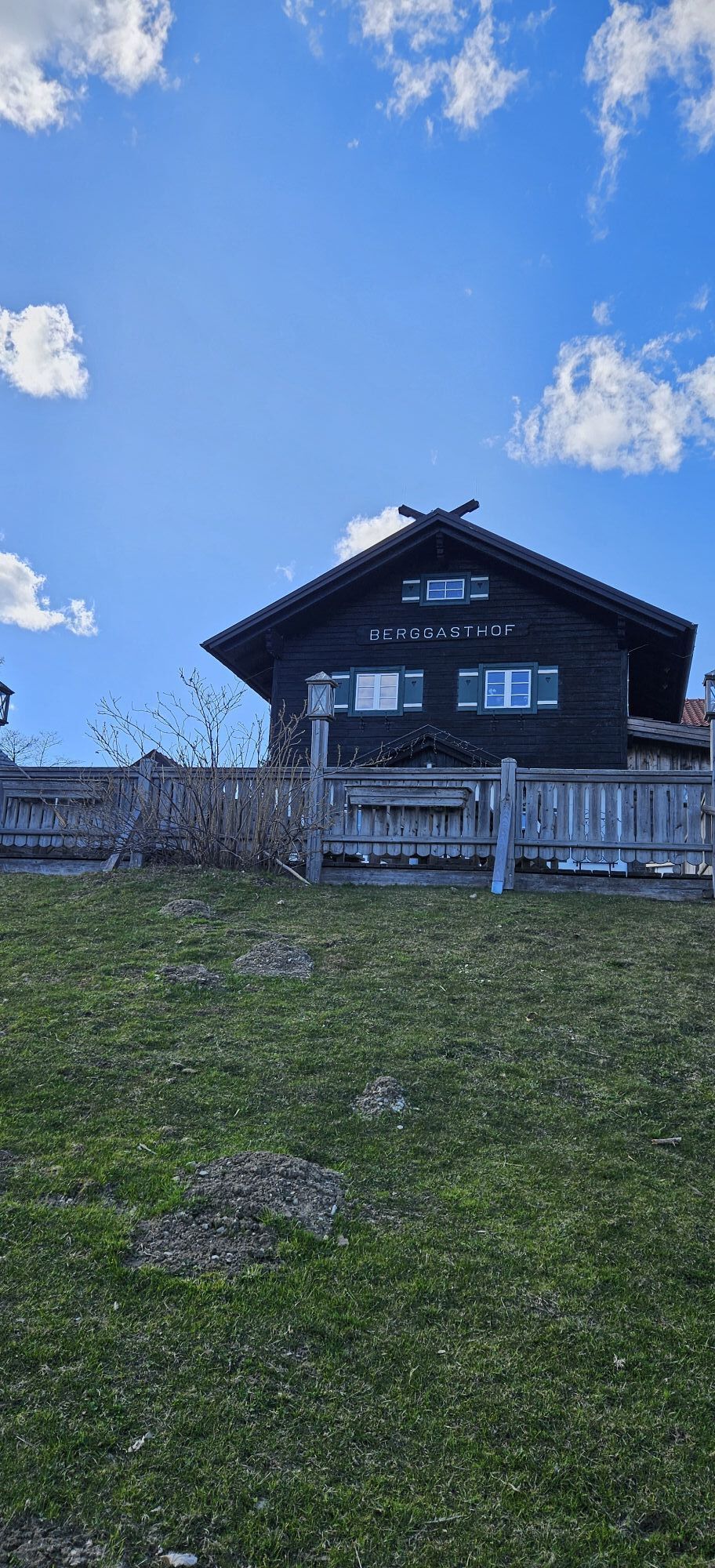
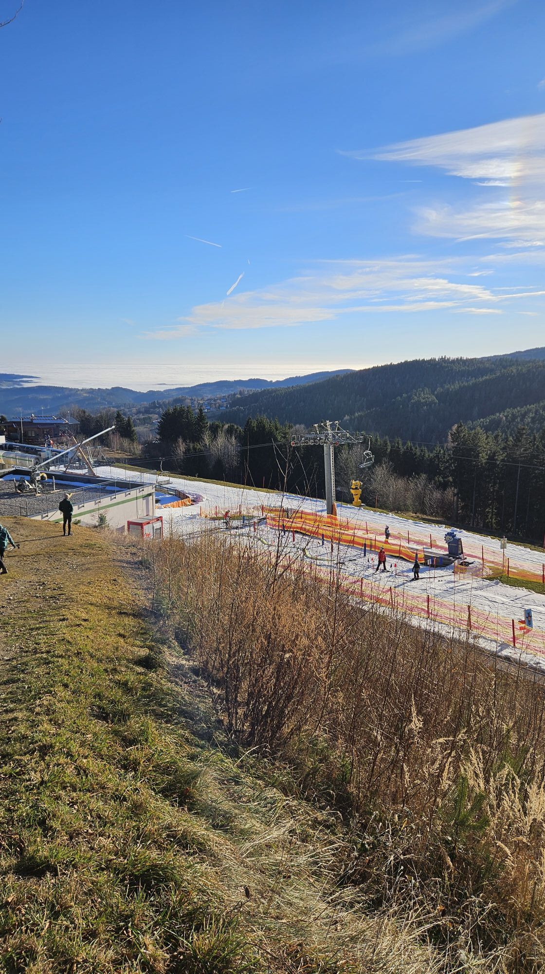
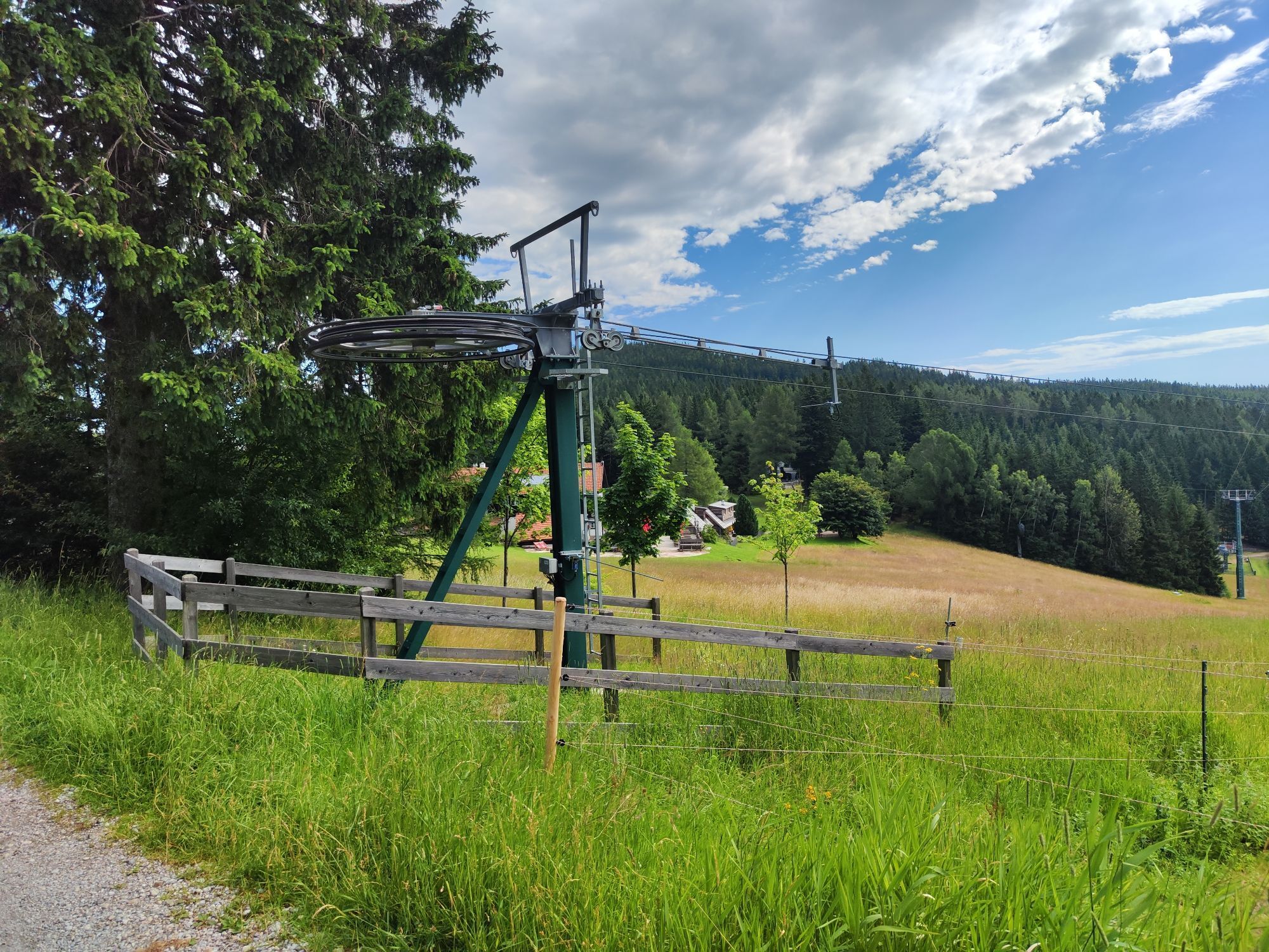
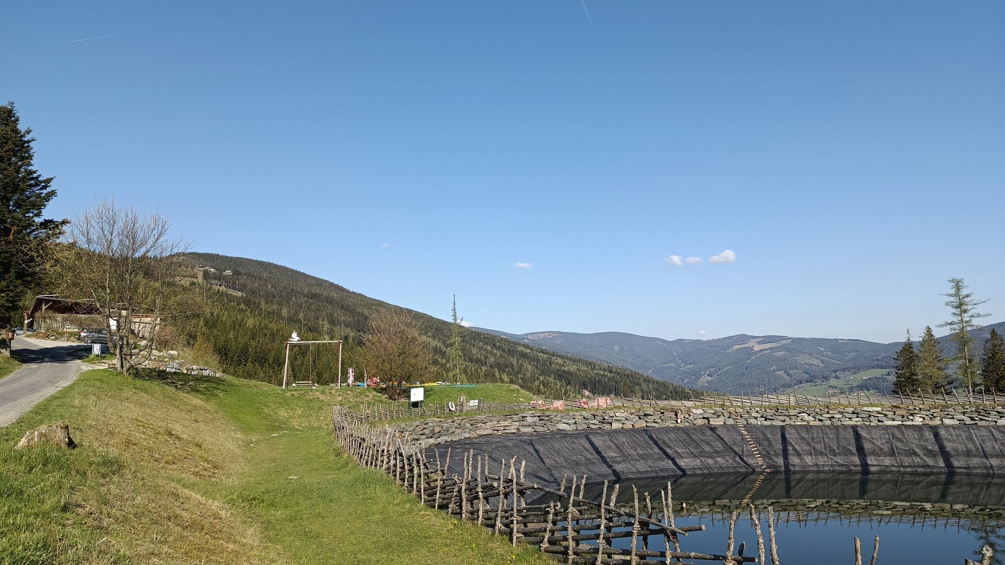
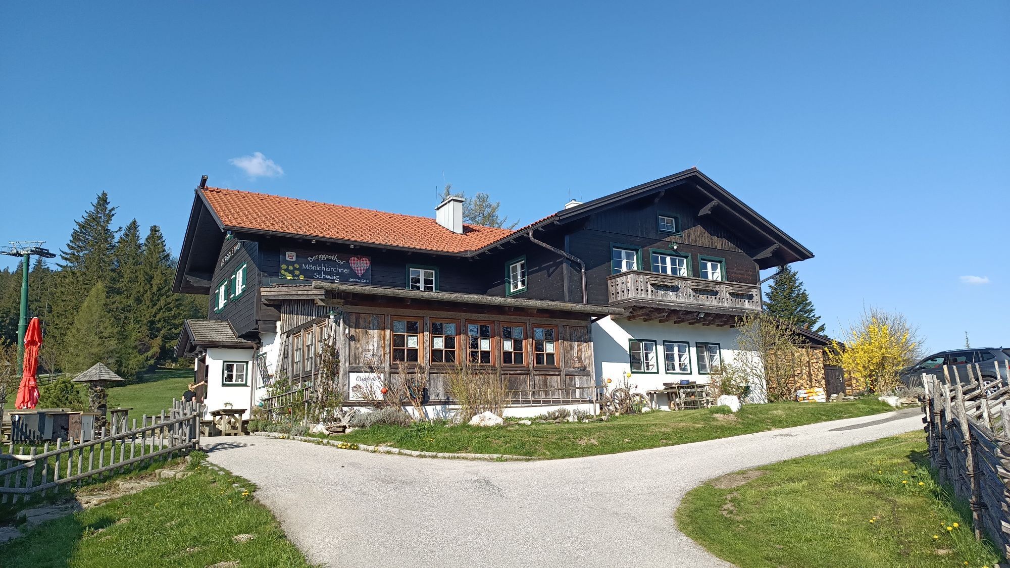
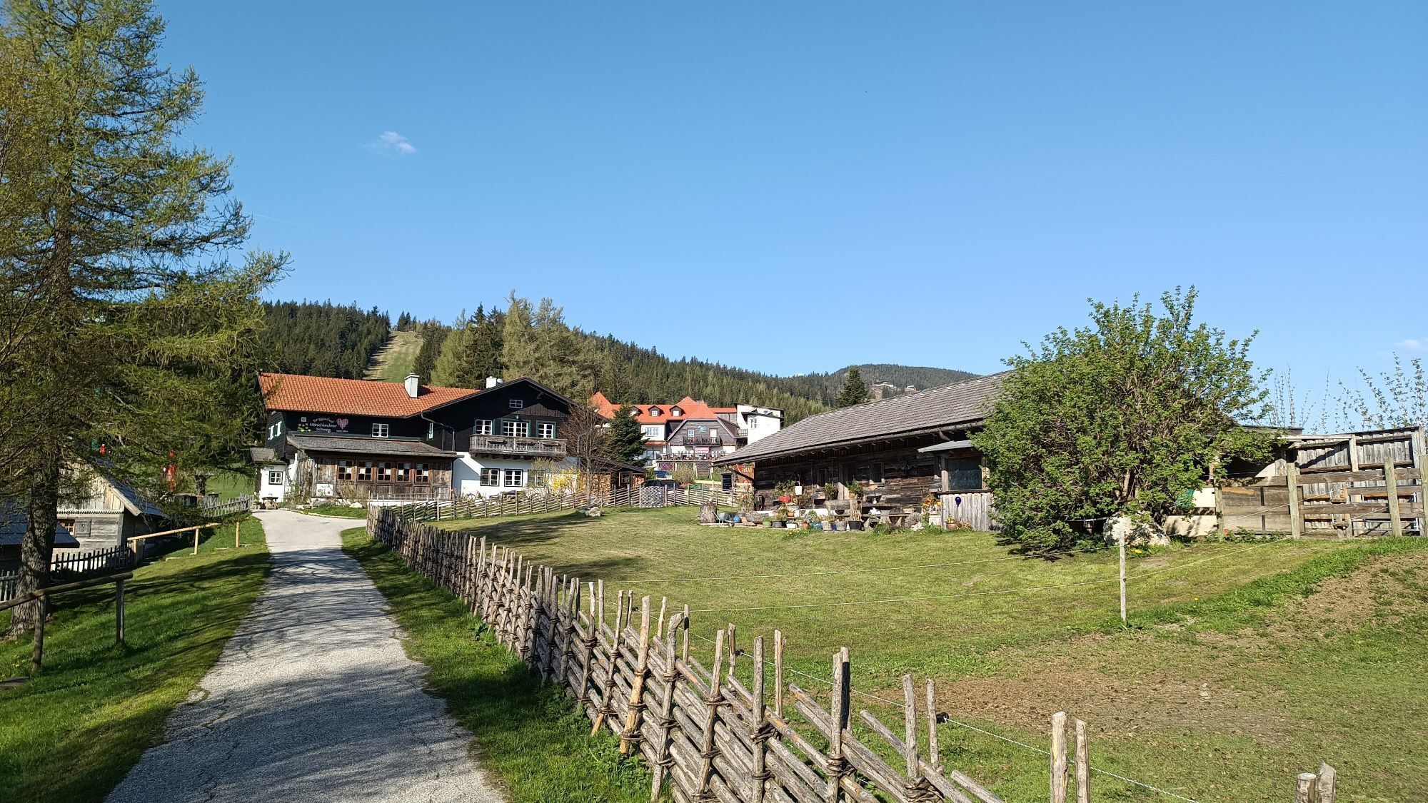
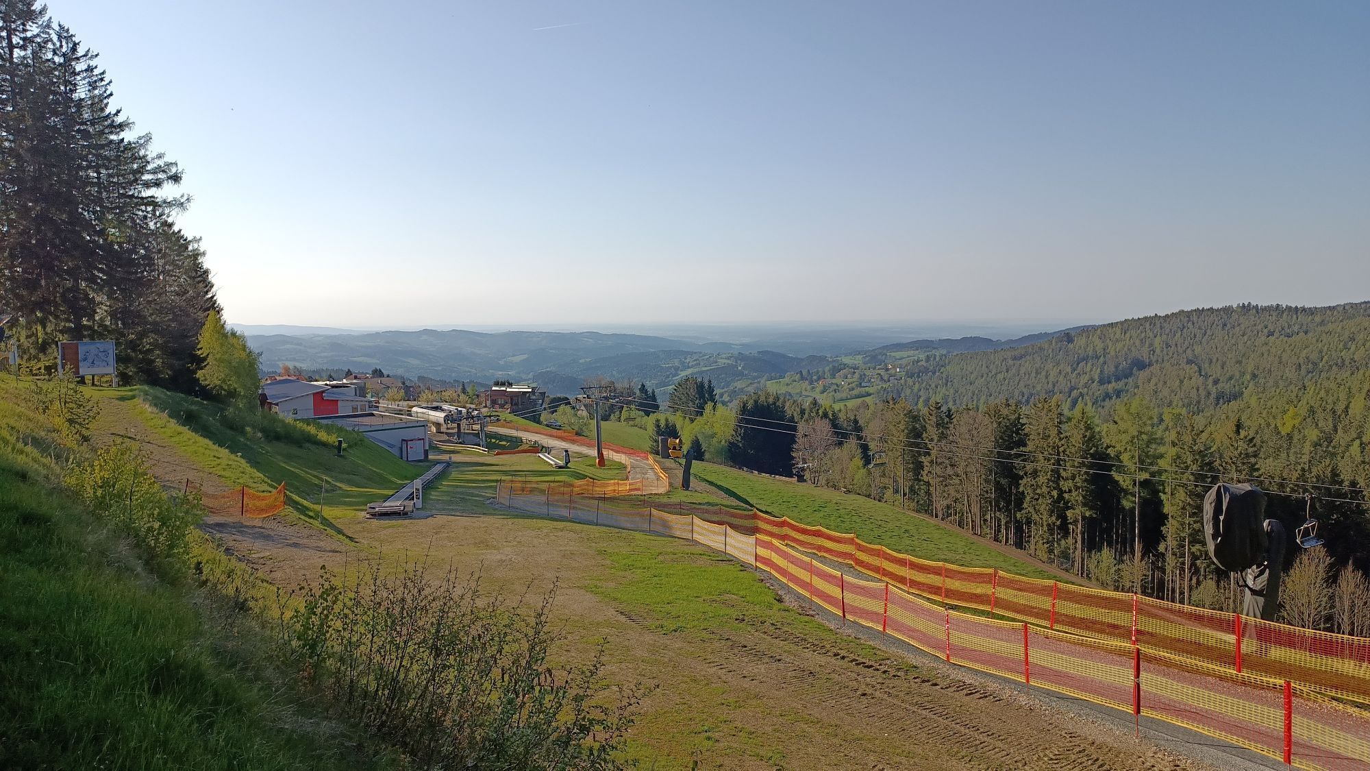
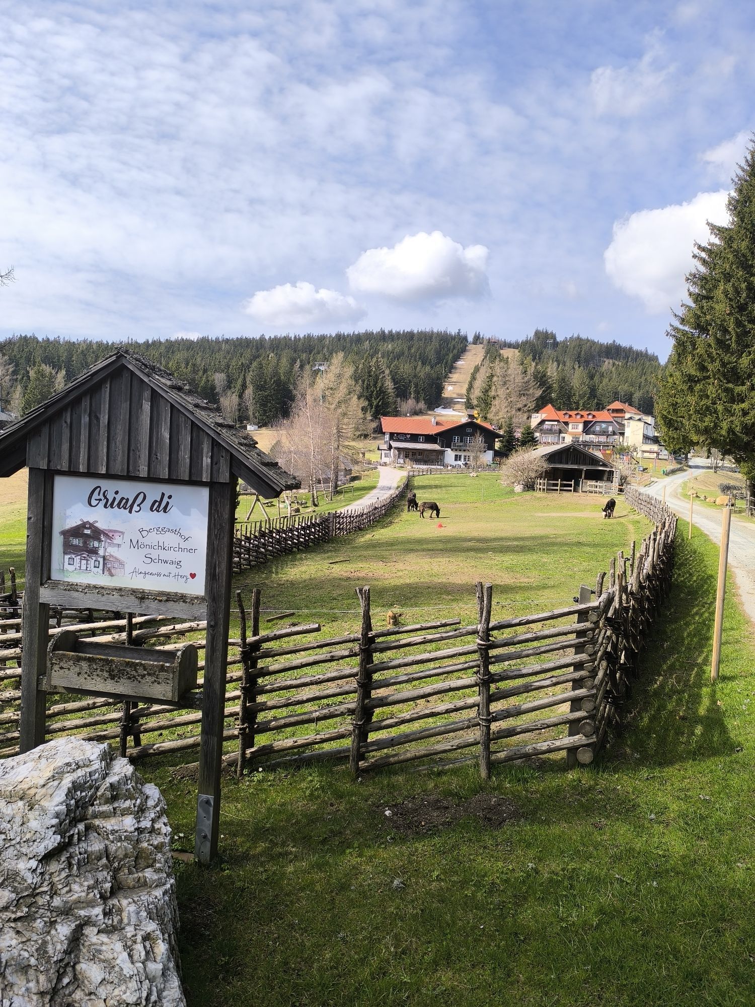
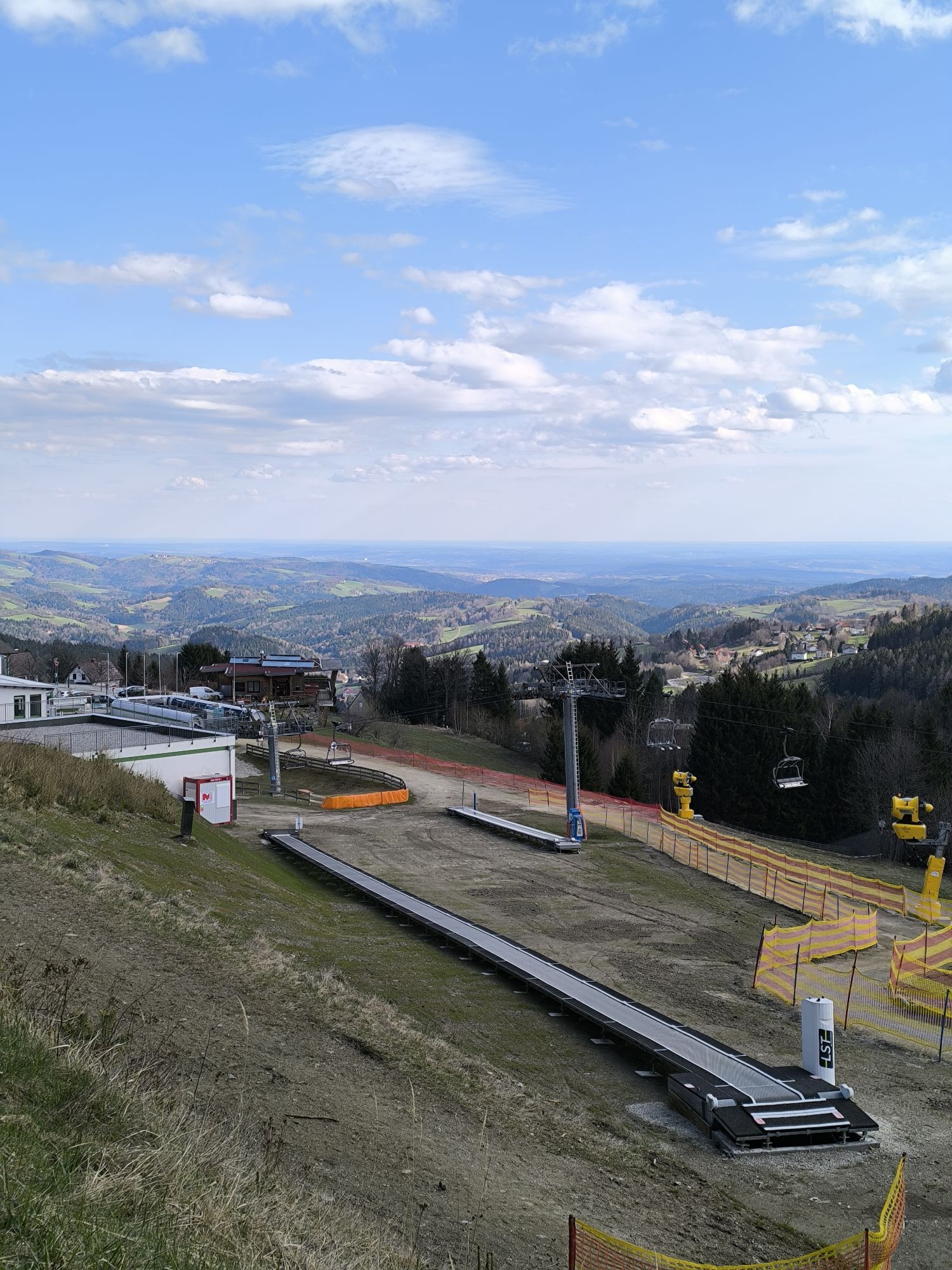
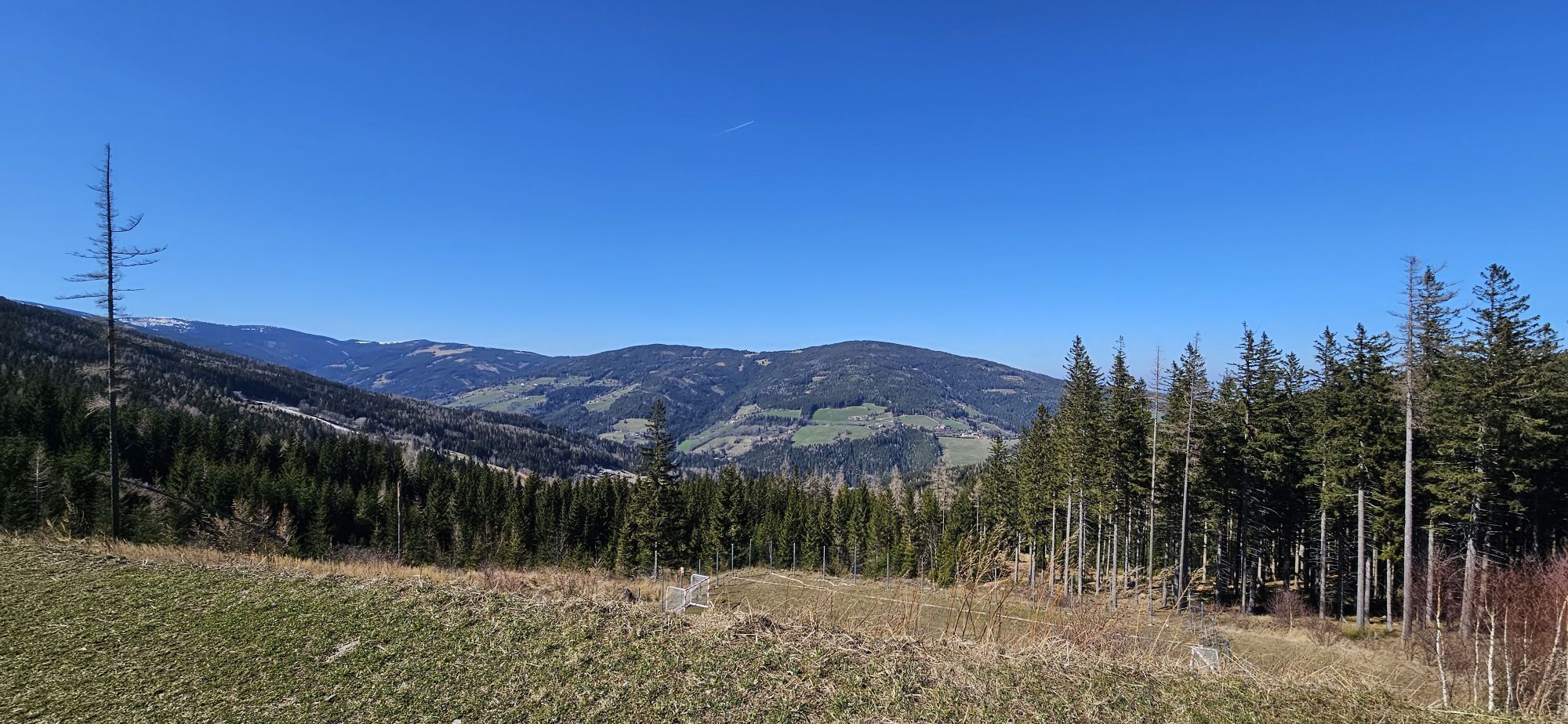
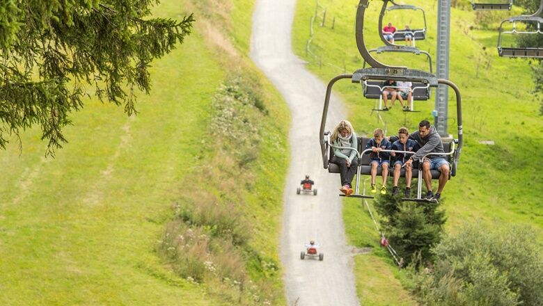
A trip to <strong>Mönichkirchen</strong> offers variety and activities for the whole <strong>family</strong>. Adventure and action can be found on the <strong>roller and mountain cart track</strong> in Mönichkirchen or at the <strong>Hamari Kraxlpark.</strong> Peace and relaxation are offered by the <strong>Life Water theme trail</strong> and the water park with solarium. From the valley station of the Sonnenlift, all these destinations are easy to find. Just as easily, you can also reach the Alm, the Mönichkirchner Schwaig. Comfortably by lift or on foot on pleasant paths, you reach the Alm at 1239 meters above sea level in less than an hour. Here the <strong>mountain inn Mönichkirchner Schwaig</strong> invites you to linger. While sitting on the <strong>panorama terrace</strong>, you can enjoy game specialties from the Wechsel region, traditional delicacies from grandma's cooking pot, and homemade pastries. For children, there is a large <strong>natural playground</strong>. In the immediate vicinity, you reach the <strong>Alpenhotel Enzian</strong>. Wellness, culinary delights, and a fantastic view from the new <strong>winter garden</strong> await you at Alpenhotel Enzian, which lives up to its nickname "<strong>family oasis</strong>". Here, there is everything the children's heart desires: directly in front of the house is a large playground with a play ship, there is a ball court, and from the mountain station, you can go down the roller track with scooters or karts. Holiday camps and other events are also offered. <br/> The Mönichkirchner Schwaig is also the starting point for numerous hiking routes at the Wechsel, such as the swing theme trail, summit hikes to the Hochwechsel, or a stage on the Trail on the Vienna Alpine Arc to the Feistritz saddle.

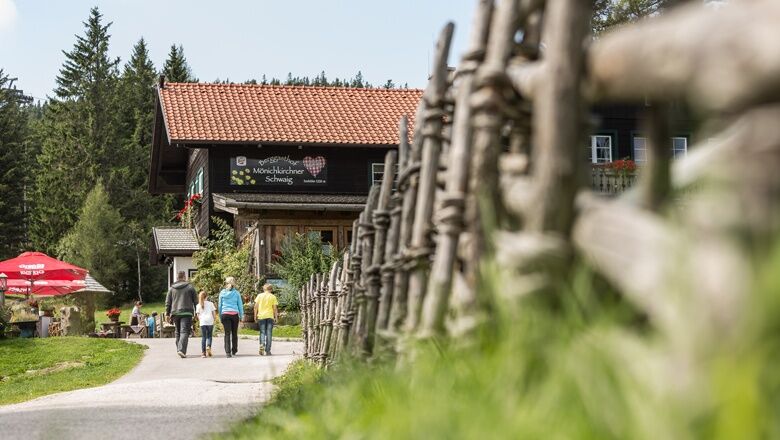

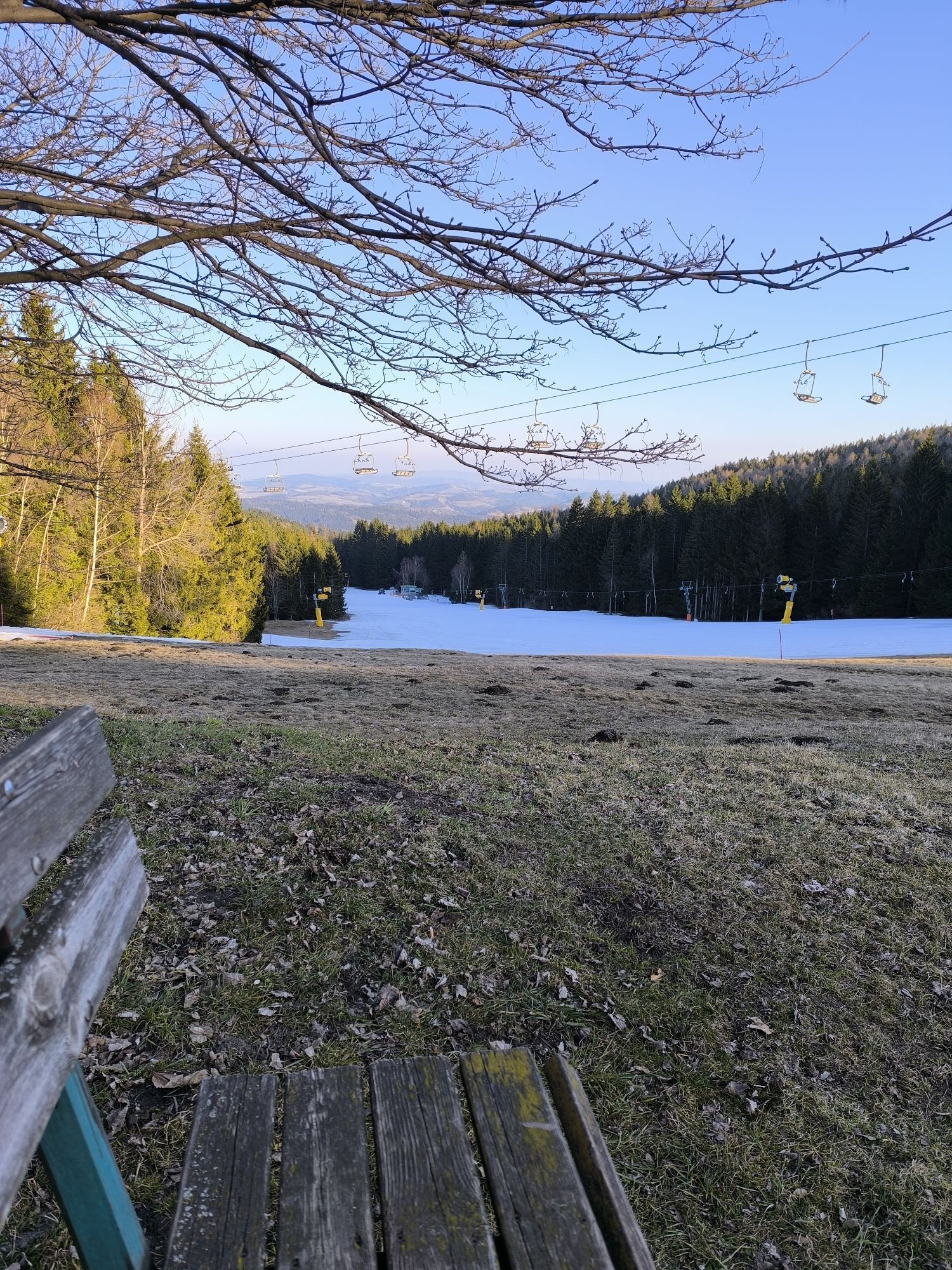
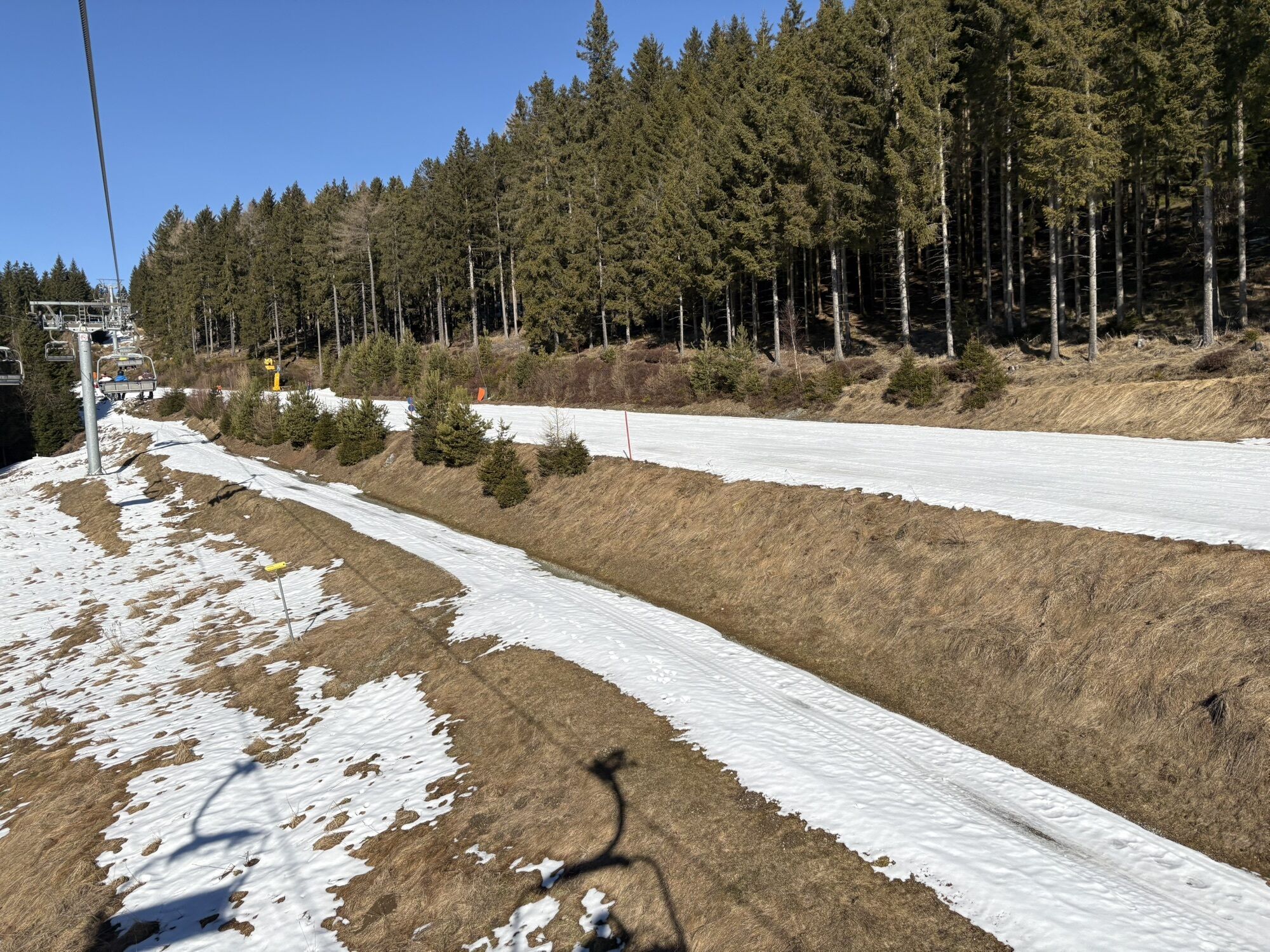
<p>From the valley station of the Sonnenlift and the roller track, we follow a path along the lift to the mountain station. Directly at the mountain station, we see the mountain inn Mönichkirchner Schwaig. A little further on to the left, we reach the Alpenhotel Enzian.</p>
<p>Always carry suitable <strong>maps</strong> with you. Wear sturdy <strong>shoes</strong> adapted to the route, take sun and rain protection as well as water and a snack. Take your <strong>mobile phone</strong> with you and save the mountain rescue emergency number: 140</p>
<p>Your hikes in the Vienna Alps should be a thoroughly beautiful and safe experience. Please therefore note the following:</p><p><strong>Preparation</strong></p><p>Make sure, when choosing the route, that it corresponds to your experience and your <strong>fitness</strong>. Check the <strong>weather report</strong> beforehand. The weather in the mountains can change surprisingly quickly. Therefore, always start out suitably equipped (e.g., rain protection).</p><p>Check whether the <strong>mountain huts and snack stations</strong> you want to visit along the way are open. <strong>Inform</strong> someone about your chosen route and planned return before setting off.</p><p>More safety tips for your hike can be found <a href="www.wieneralpen.at/sicherheit-am-berg...
<p><strong>From Vienna</strong> coming on the A2, take the Edlitz exit onto the B54 Wechsel federal road and follow the signs to Mönichkirchen.<br /><br /><strong>From Graz</strong> coming on the A2, take the Pinggau exit towards Friedberg and follow the signs to Mönichkirchen.</p>
<p>Take the regional train from Wiener Neustadt station to Aspang, then continue by regional buses to Mönichkirchen.
</p><p>More information can be found at <a href="www.oebb.at">www.oebb.at</... <a href="www.vor.at">www.vor.at</a&...
<p>Parking available at the valley station of the Sonnenlift.</p>
Vienna Alps in Lower Austria, www.wieneralpen.at, +43 / 2622 / 78960
Mountain inn Mönichkirchner Schwaig, www.moenichkirchner-schwaig.at
Alpenhotel Enzian, www.enzianwirt.at
Mountain and roller lifts Mönichkirchen, www.schischaukel.net
Combine your hike with a stay at the Wechsel, for example at the Alpenhotel Enzian or at the Breakfast Pension Koderholt. Book now!
Obtenez un aperçu
Toujours en direct avec plus de 9.500 webcams. En tant qu'utilisateur Pro, vous pouvez désormais voir les webcams correspondantes à de nombreuses randonnées dans l'application de randonnées de bergfex. Vous pouvez ainsi voir directement les conditions actuelles.
Parcours populaires à proximité
-
4,8
Hochwechsel-Runde, Waldbach-Mönichwald
moyenTrail running 17,9 km -
3,7
Schwaigen Rundwanderung
facileRandonnée 8,24 km -
3,8
St. Corona - Kampstein
moyenRandonnée 10,7 km -
4,6
Mariensee - Wildwasserweg - Marienseer Schwaig
facileRandonnée 8 km -
4,5
Rabl-Kreuz-Hütte auf den Hochwechsel
facileRaquettes 9,87 km -
4,5
Hochwechsel
moyenRandonnée 14,3 km -
4,7
Hochwechsel - Tour
Randonnée 18,5 km -
4,7
Hochwechsel und Arabichl ab/bis Mariensee
moyenRandonnée 17,5 km -
4,0
Bucklige Welt: Burg Grimmenstein und Kulmriegel
facileRandonnée 10,5 km -
4,7
Aspang Hochwechsel Panorama-Runde Wexl Trails mit "The WU" 2018
moyenVTT 57,5 km
Randonnée et suivi


Ne manquez pas les offres et l'inspiration pour vos prochaines vacances
Votre adresse électronique a été ajouté à la liste de diffusion.





