






WAB - Stage 5: Kirchschlag - Bad Schönau
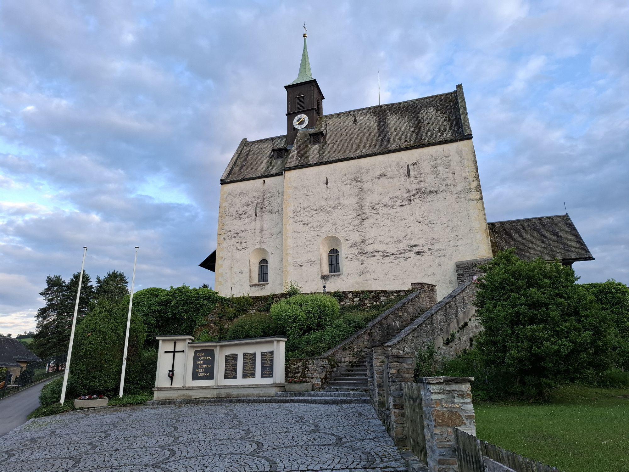

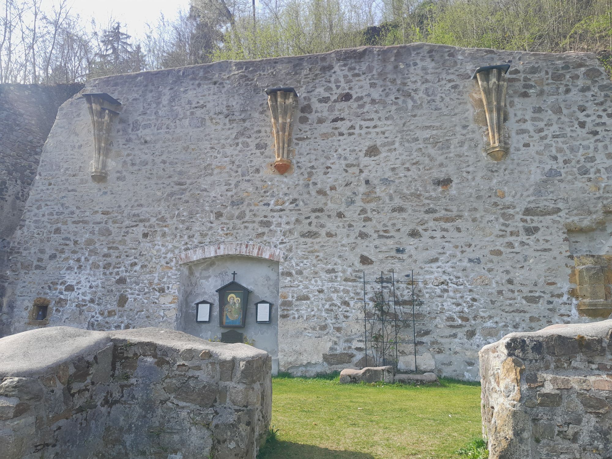
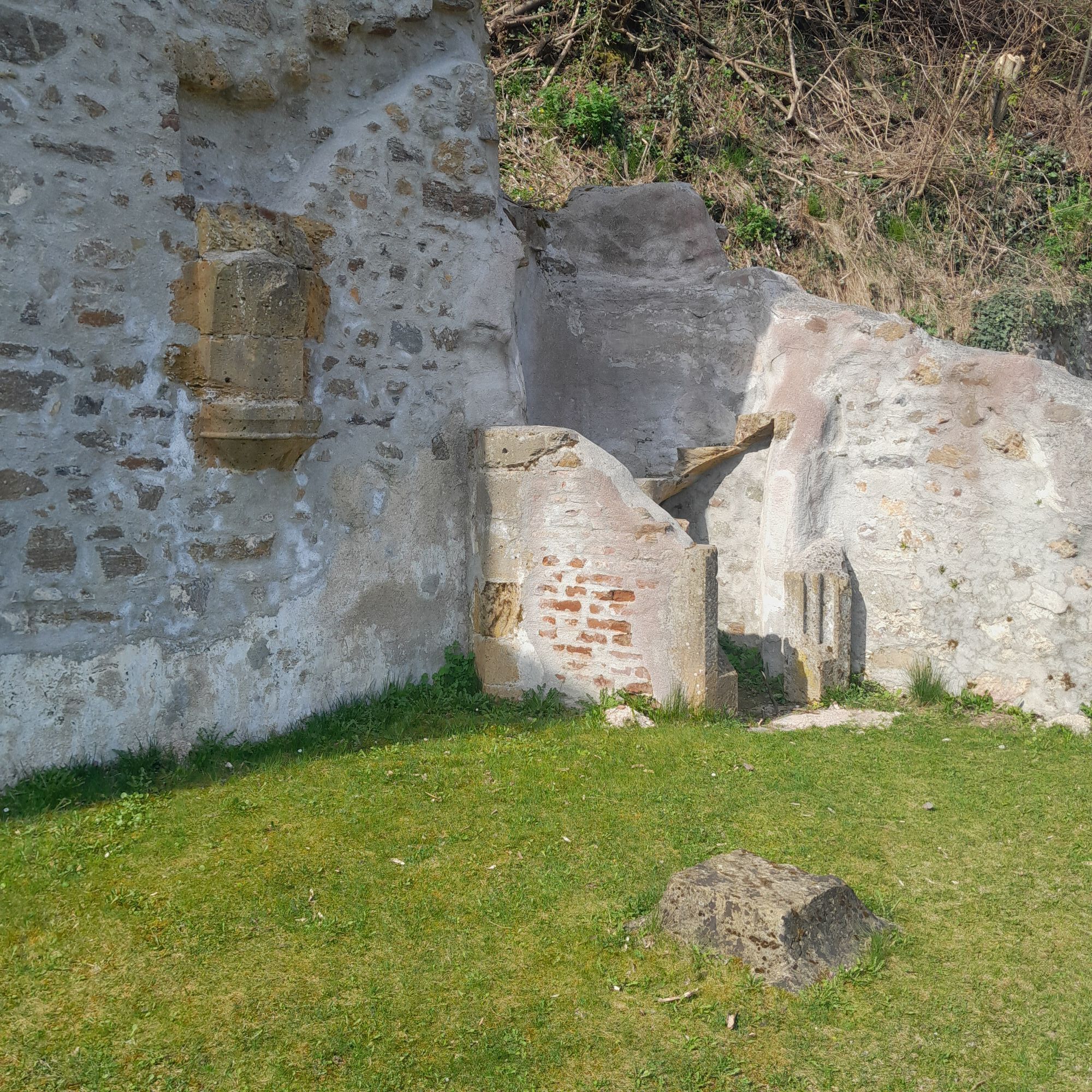
The inhabitants of the Bucklige Welt showed themselves to be especially stubborn and brave when their homeland was threatened by warriors from the Ottoman Empire, the Kuruc. The last bullet holes in the...
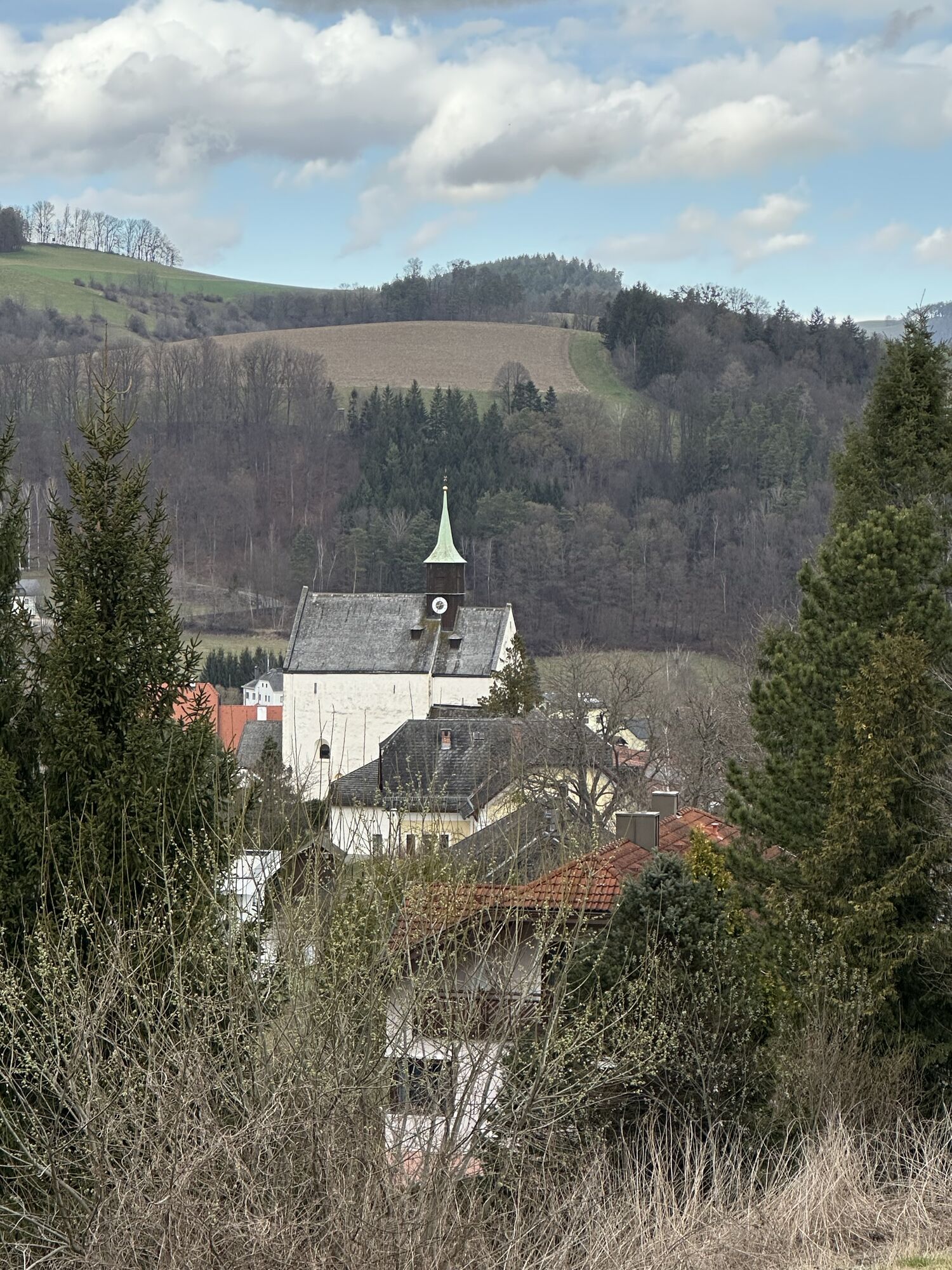
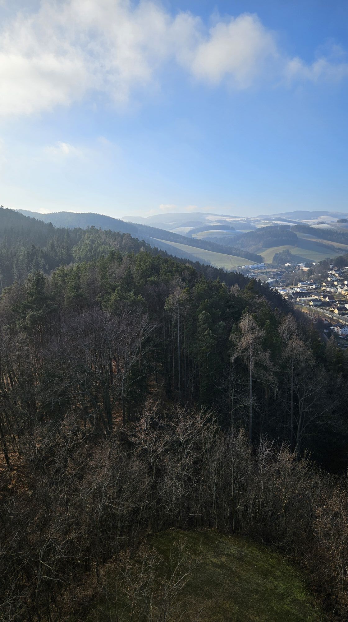
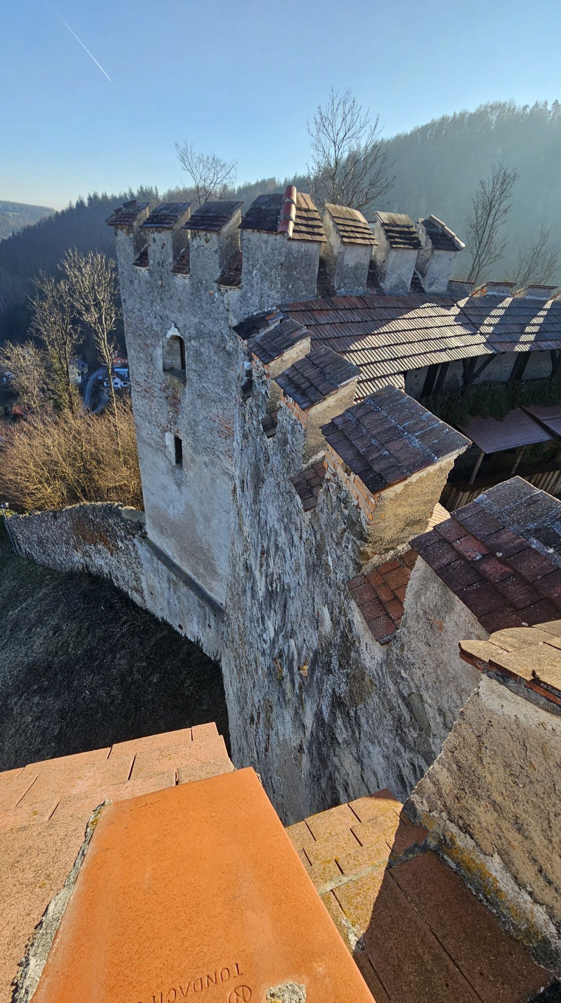
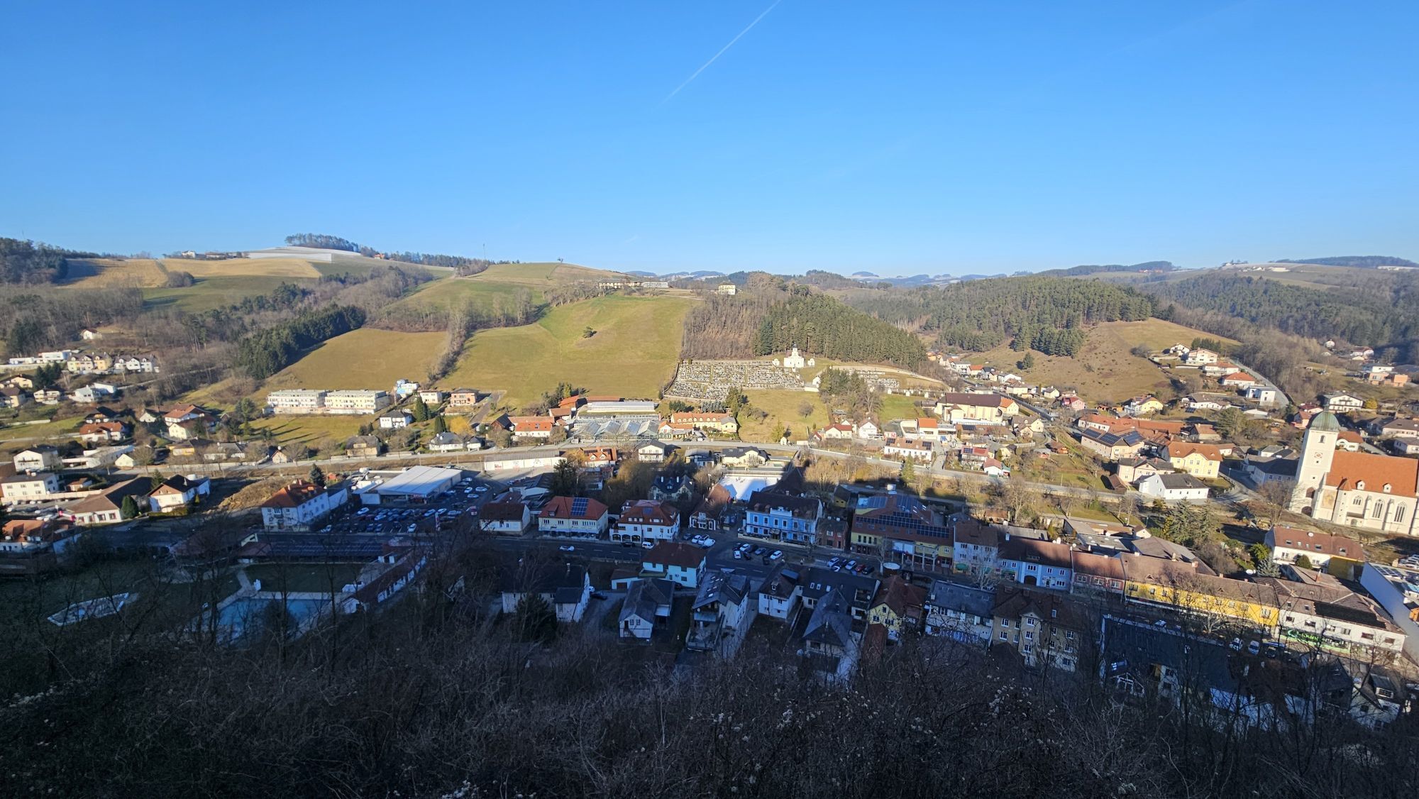
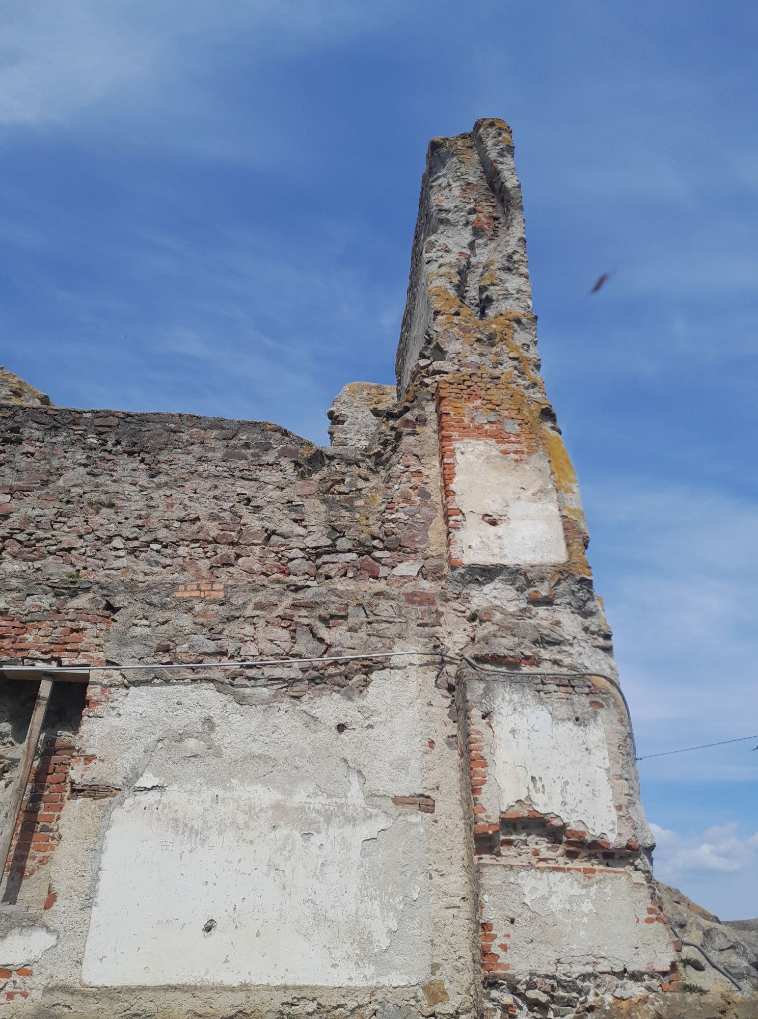
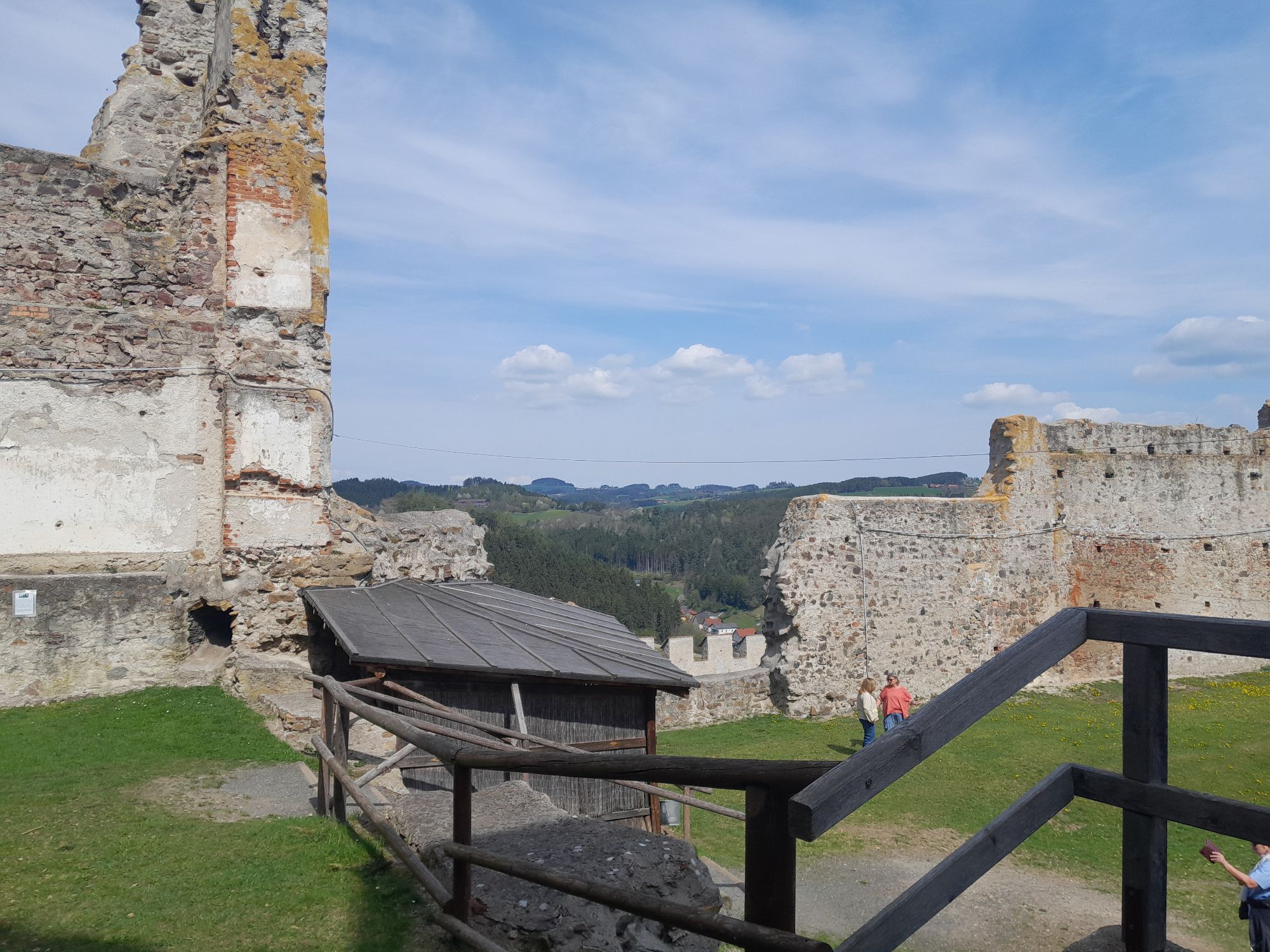
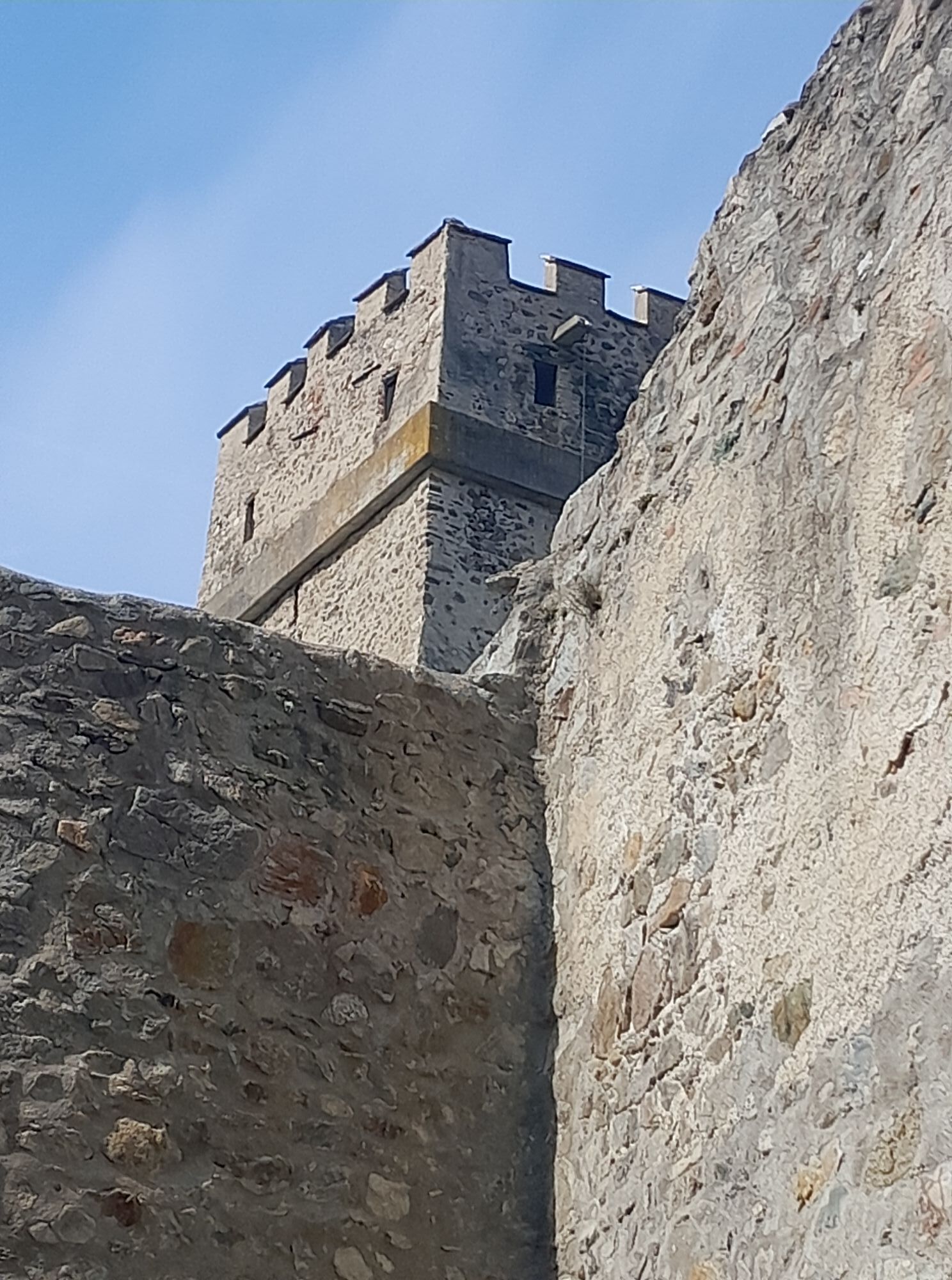
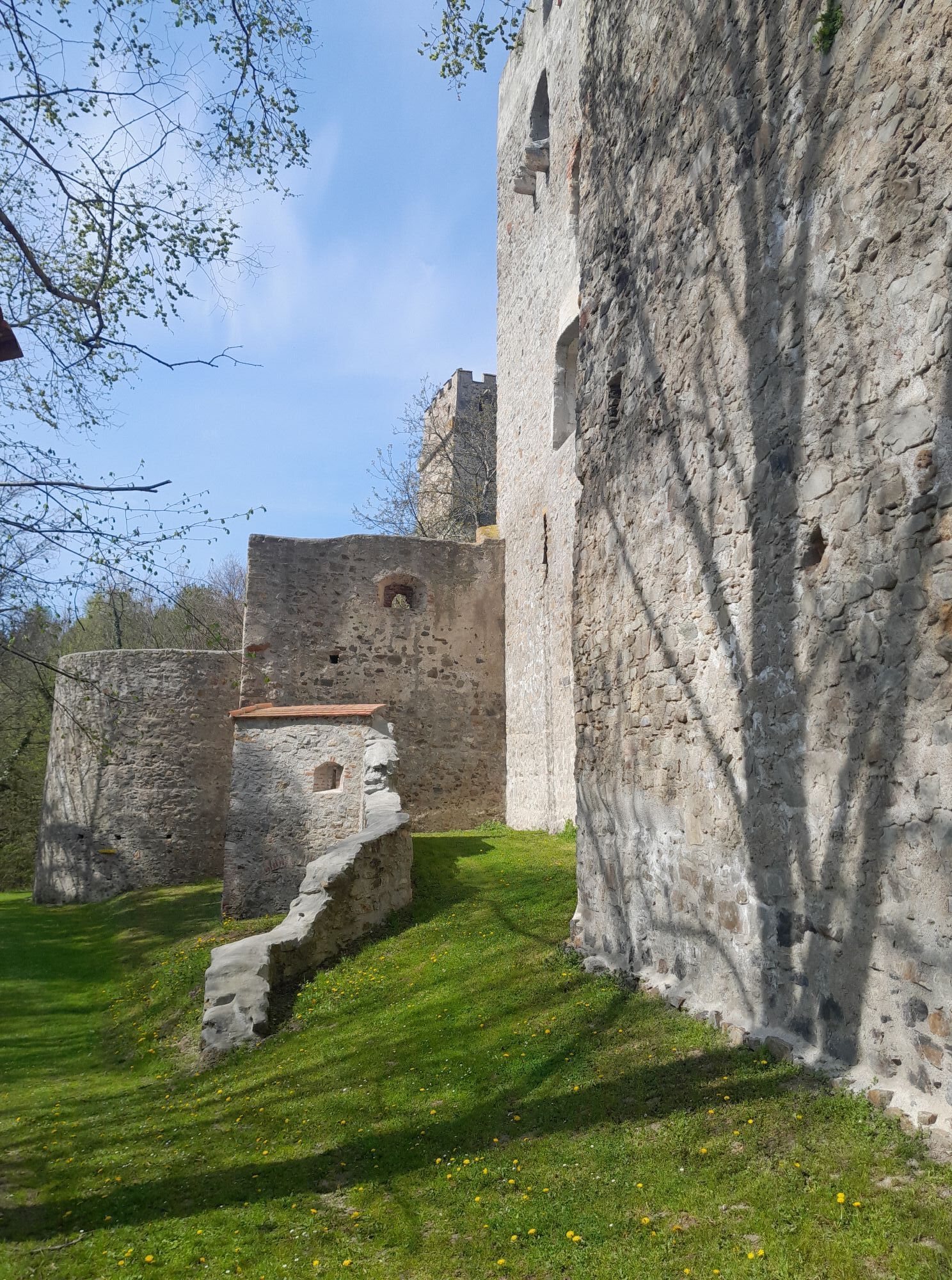
<p>The inhabitants of the Bucklige Welt showed themselves to be especially stubborn and brave when their homeland was threatened by warriors from the Ottoman Empire, the Kuruc. The last bullet holes in the gate of the fortified church in Bad Schönau bear witness to the fiercely contested area and the brave Bucklige Welt. The fortified churches were often the only protection against the invading Kuruc; at the viewing point at the Kirchschlag castle ruins, one feels transported back to this turbulent past. Also, the Turks’ well and Kuruc holes recall this time.</p>

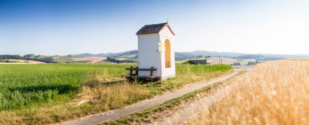
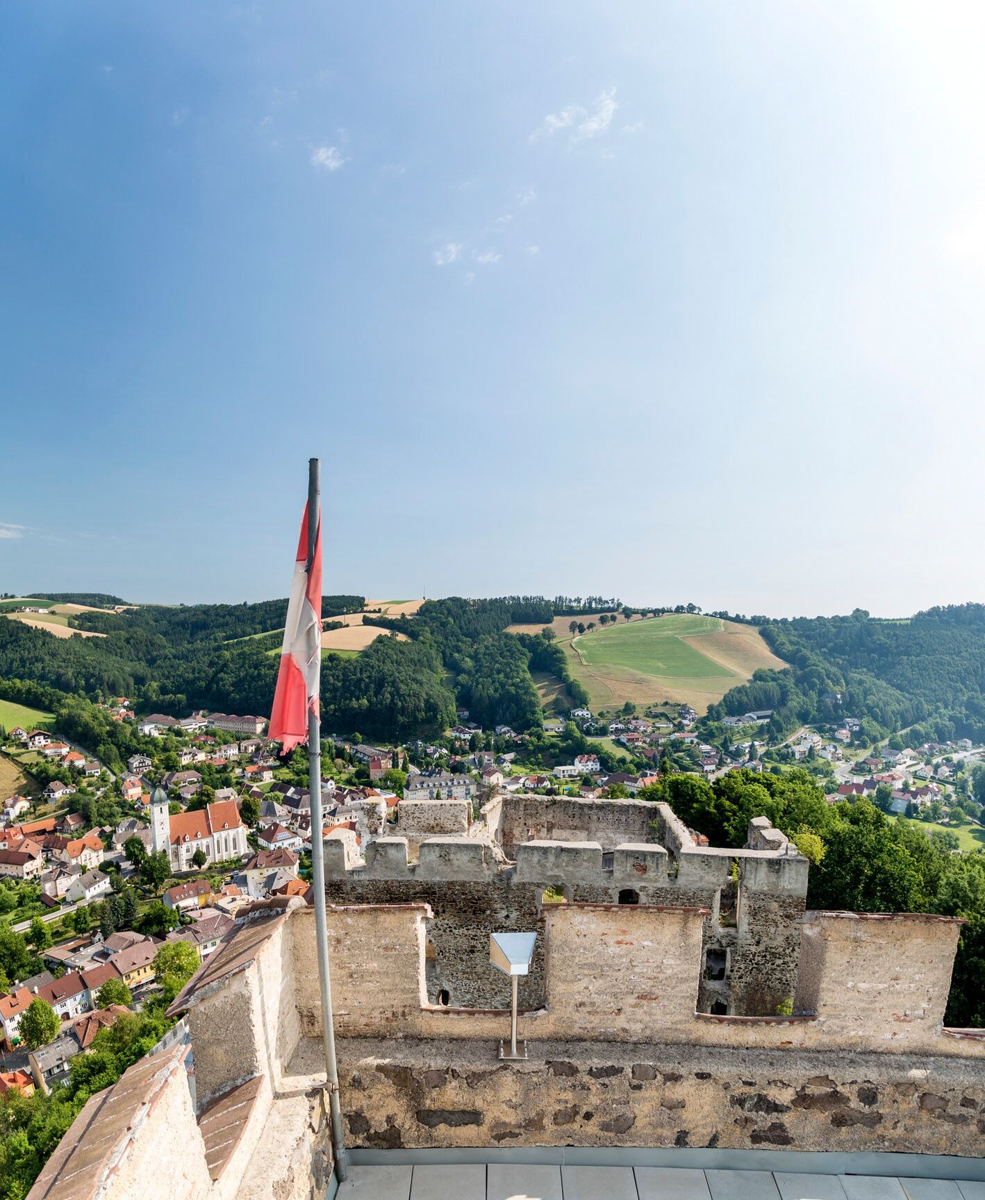
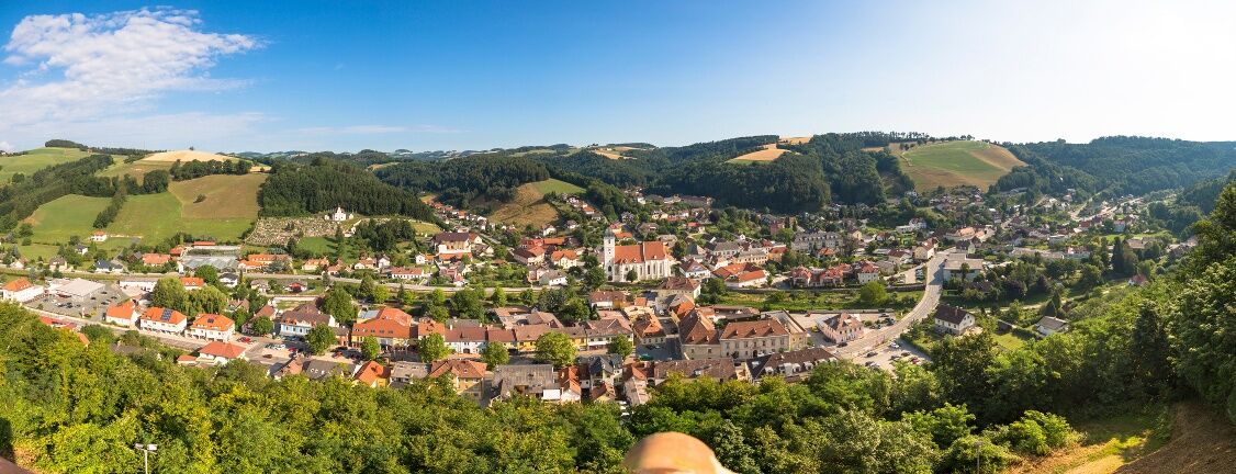
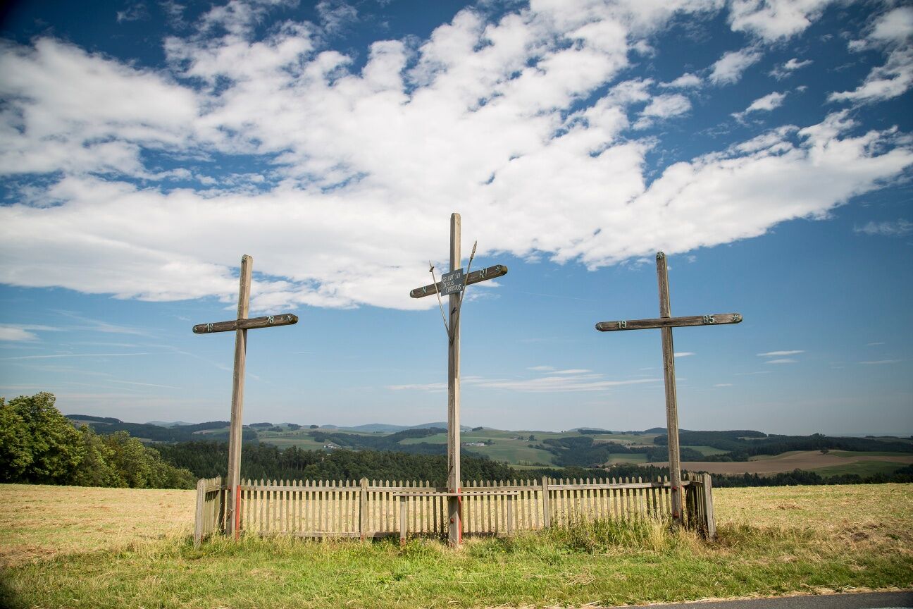
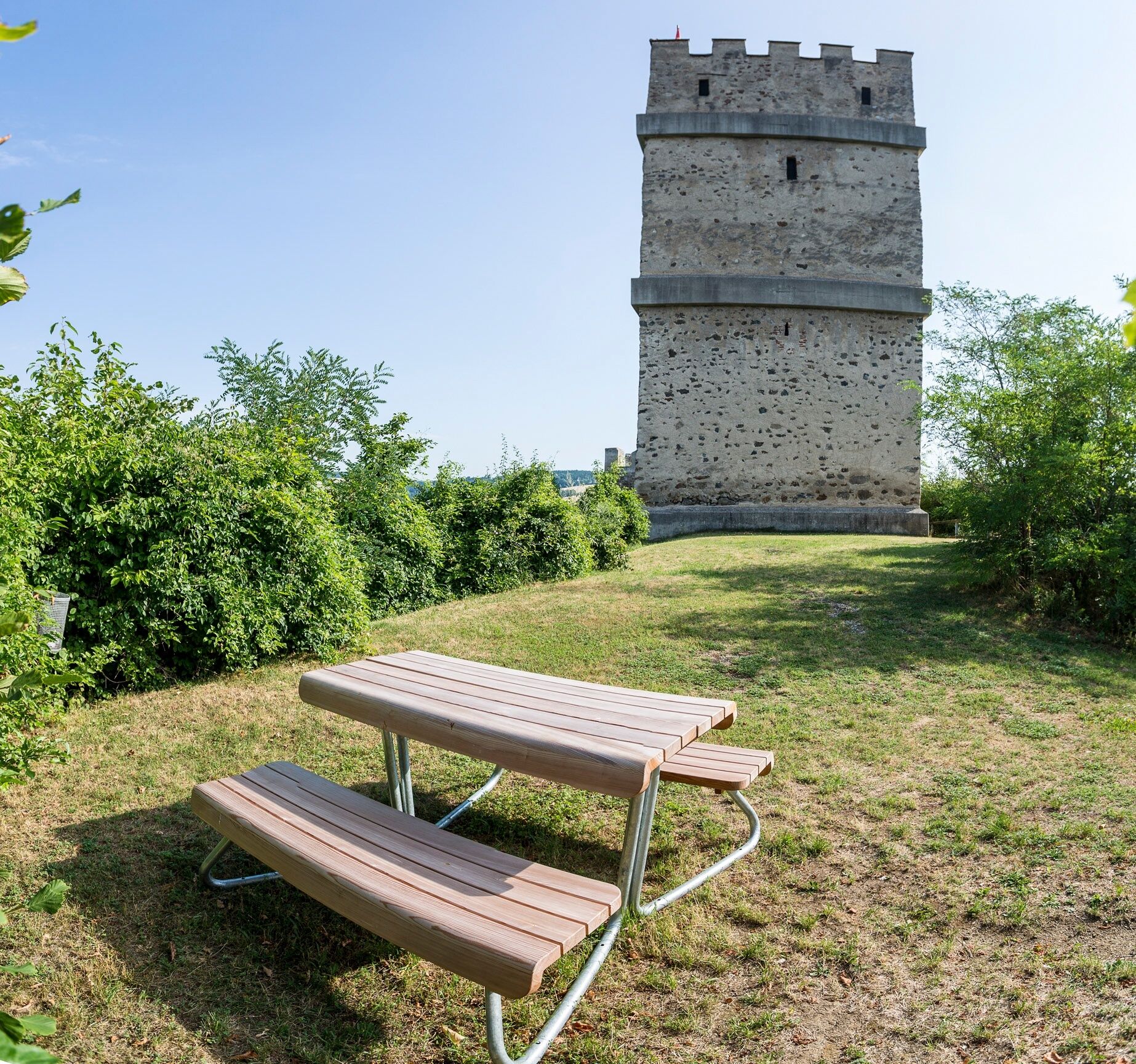
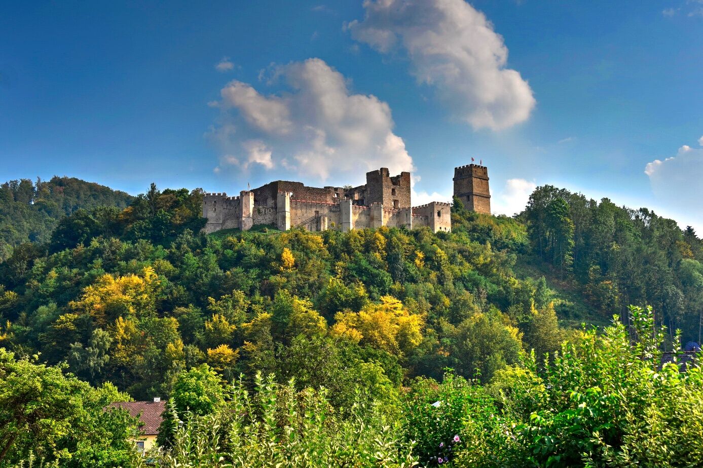
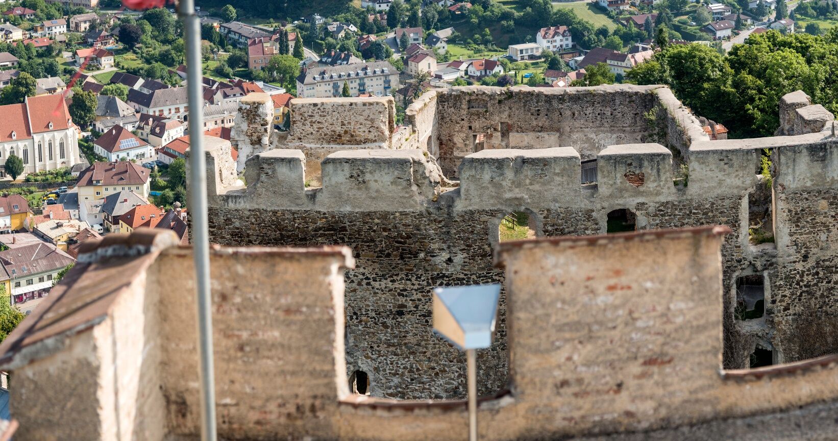
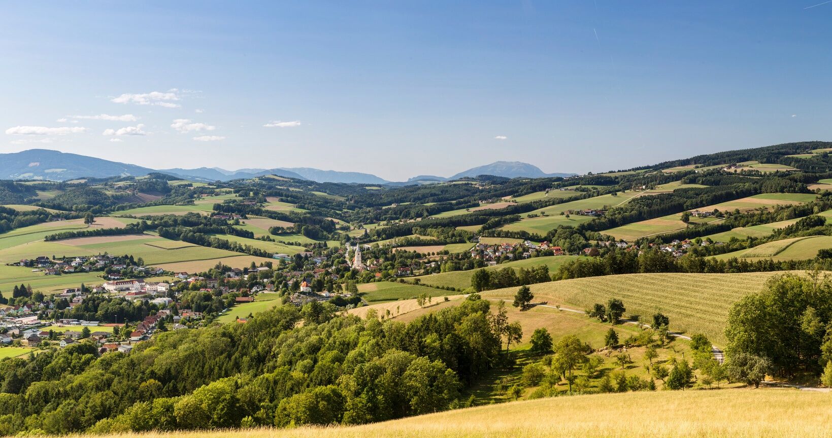
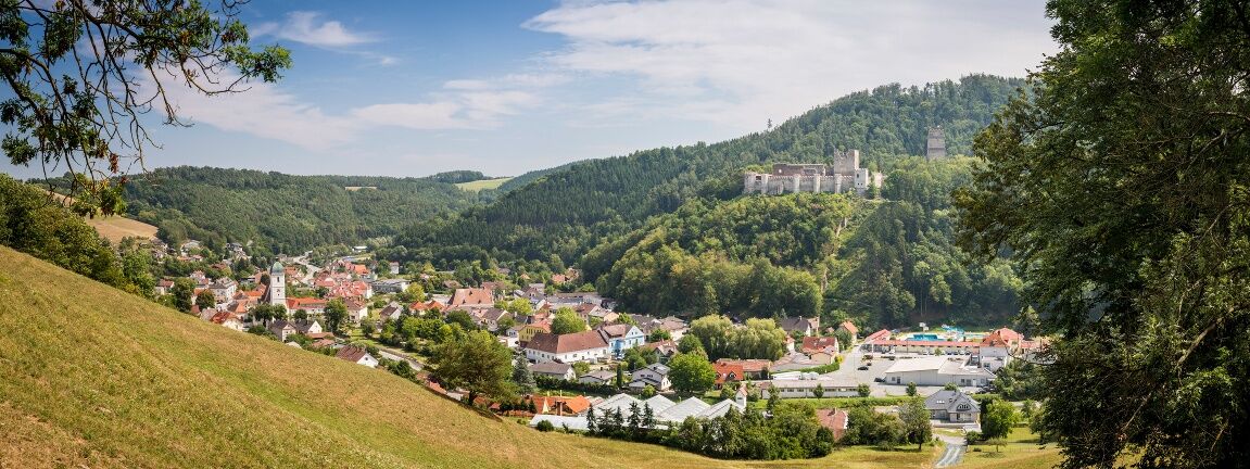
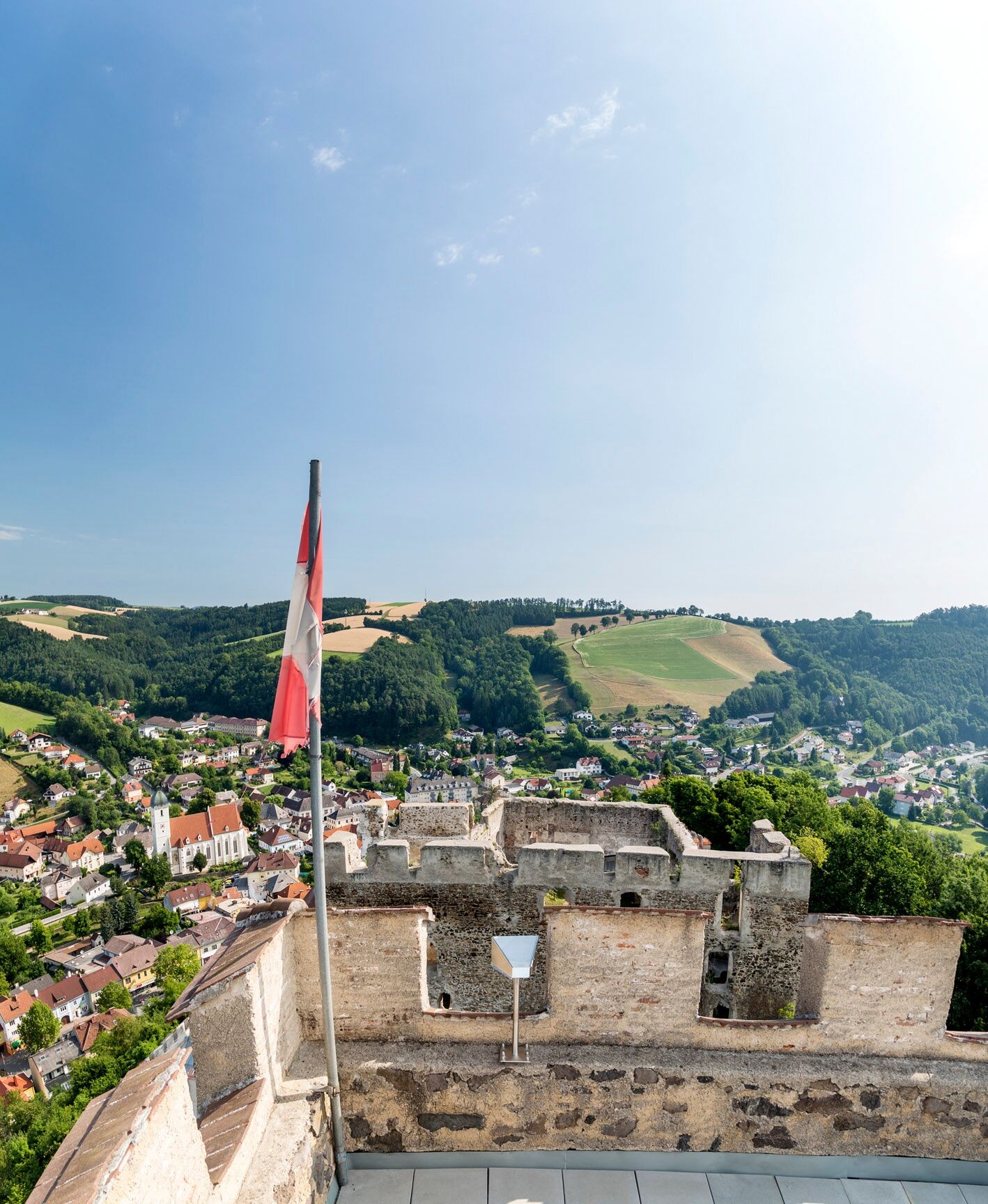
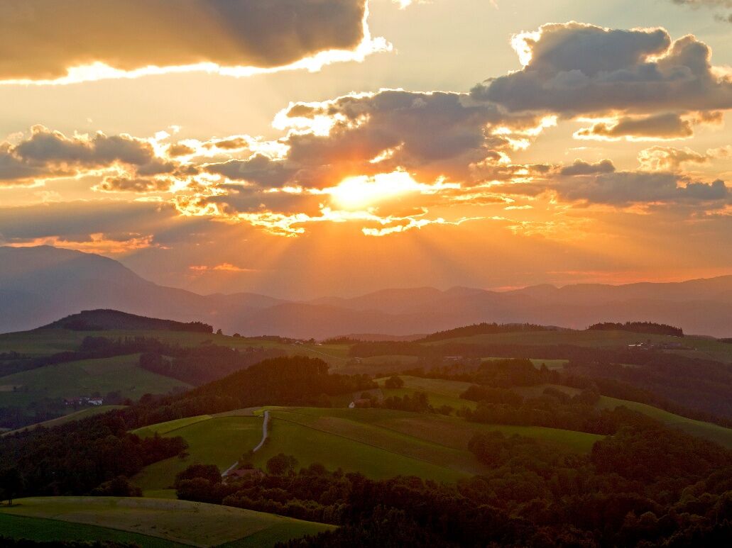
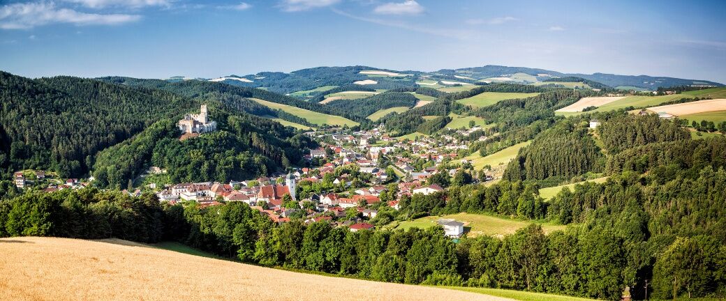
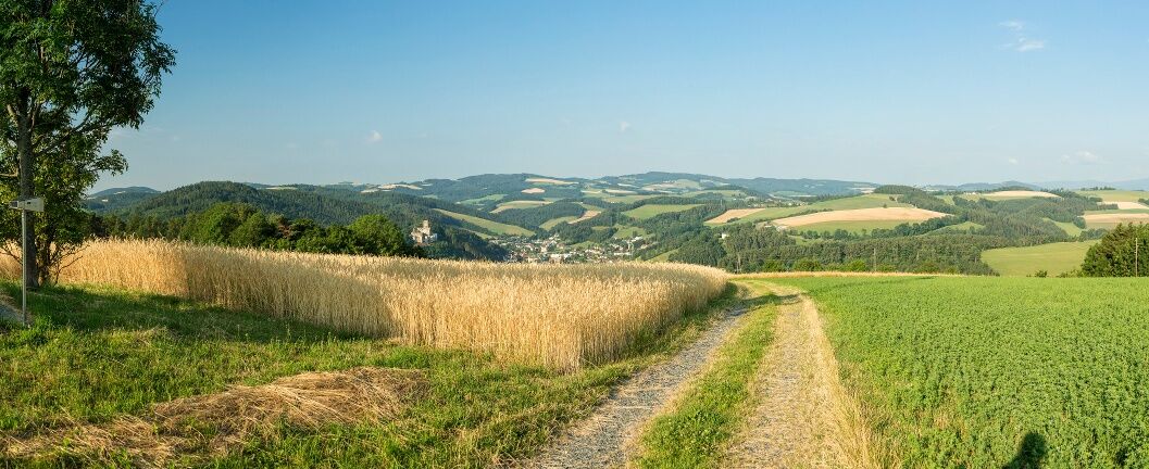
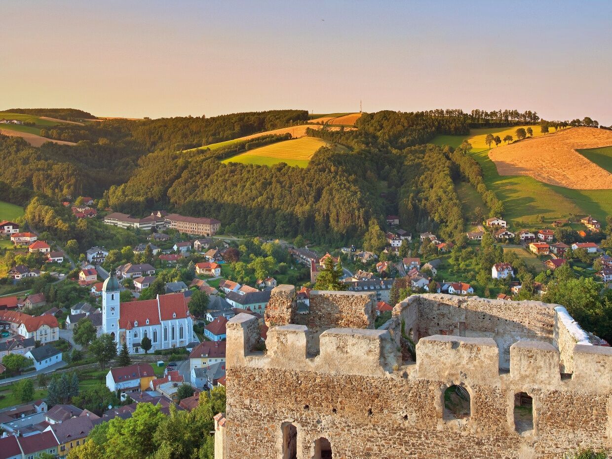
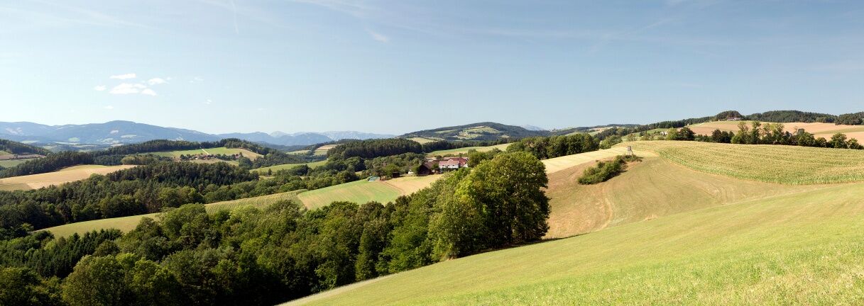
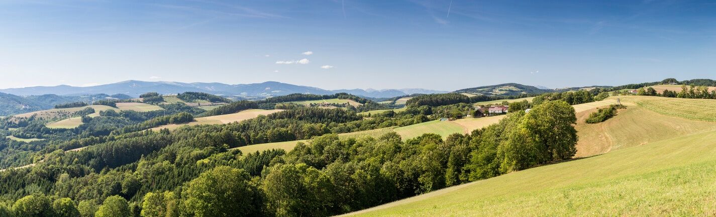
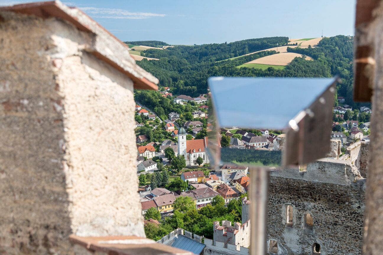
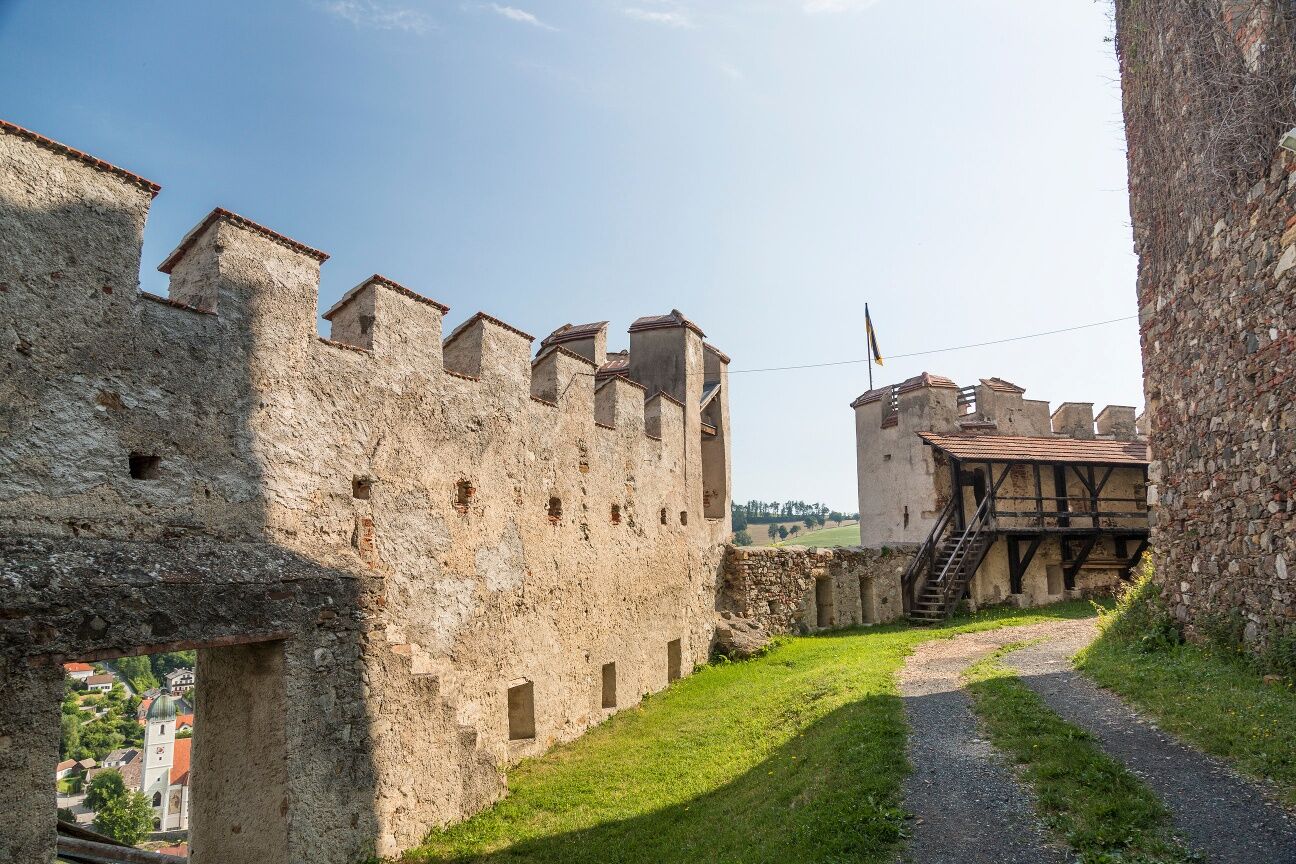

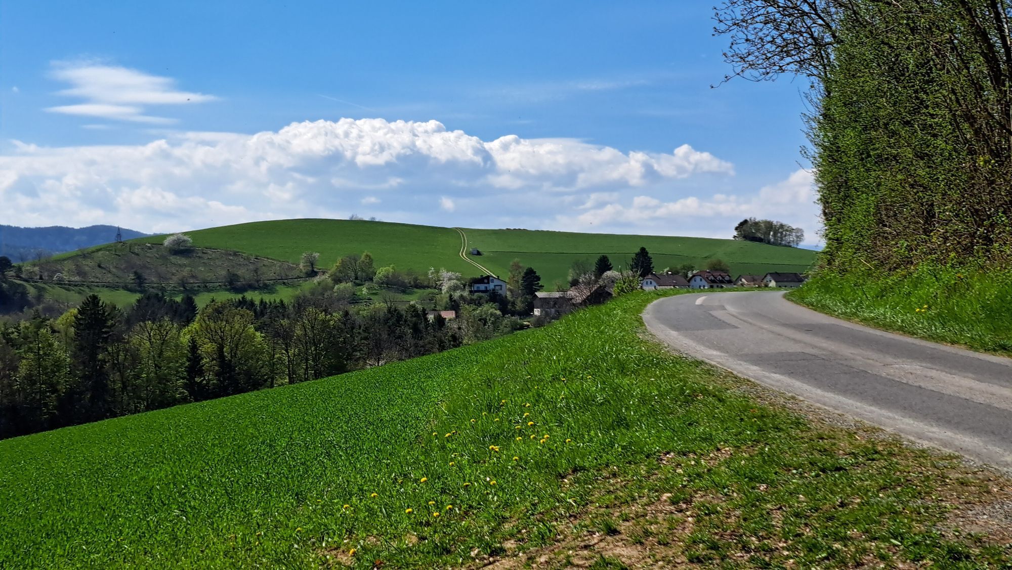
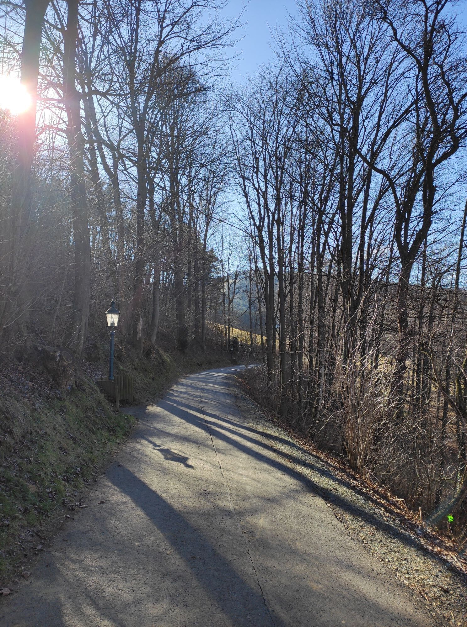
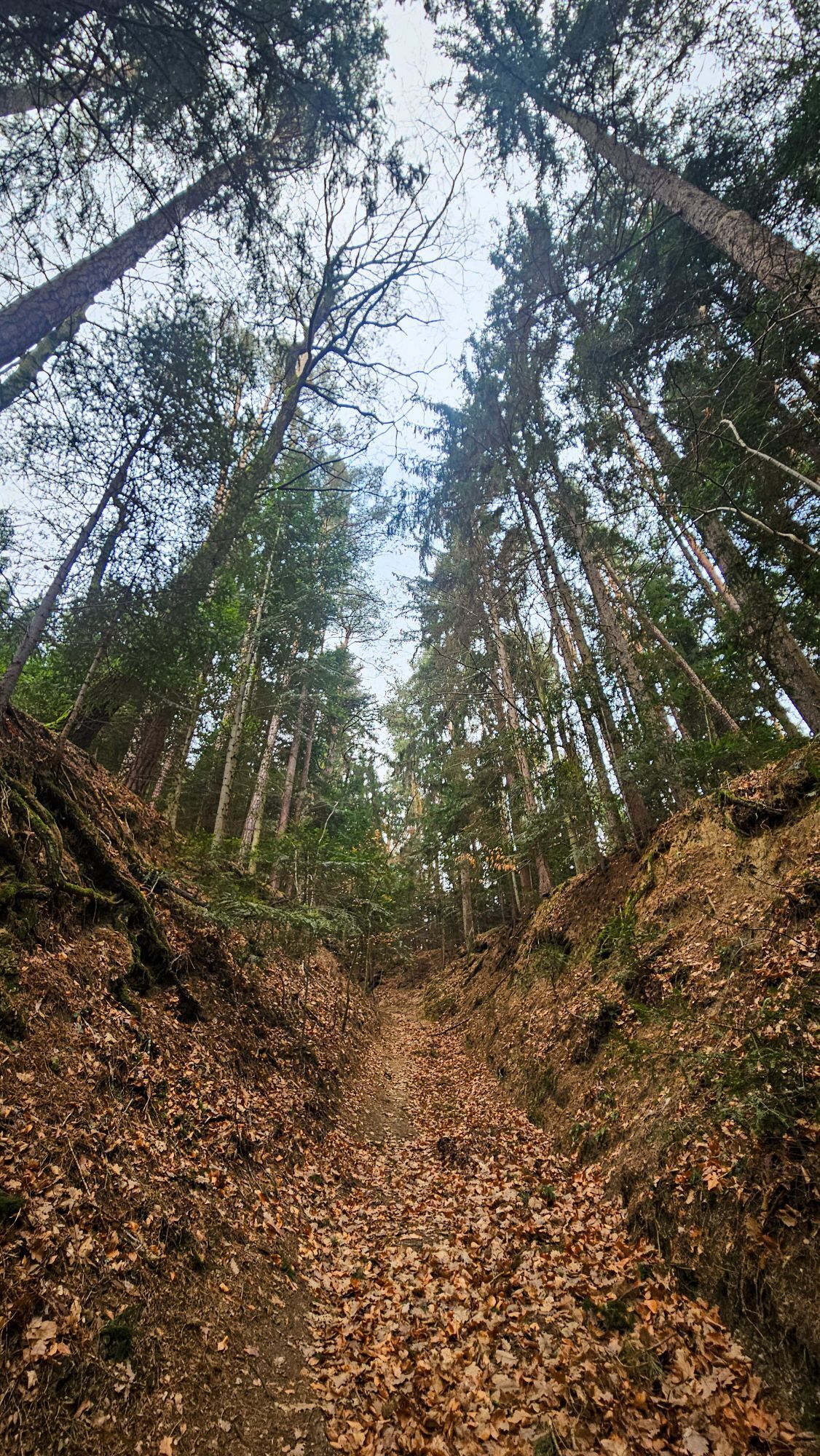
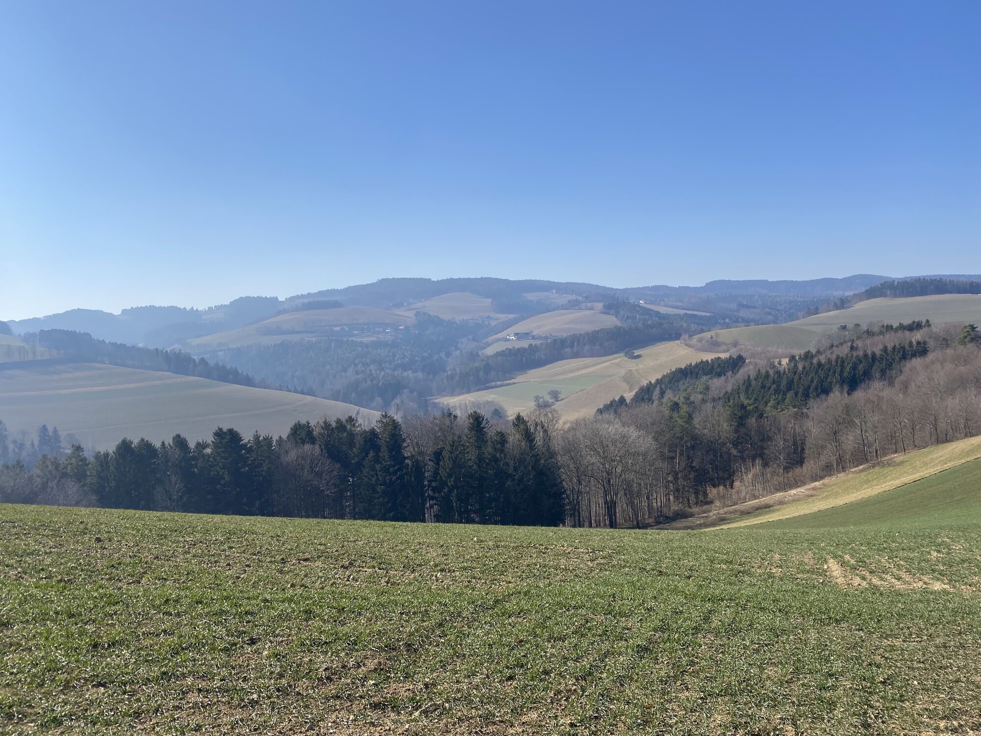
<p>The 5th stage starts at the information board for the Wiener Alpenbogen at the Kaiser Franz Joseph Monument next to the Hotel Post in Kirchschlag. We ascend the sidewalk to the castle ruins and enter them. After an exploratory walk, we leave the ruins through the main gate over a wooden bridge and see before us the mighty tower with the viewing platform at the top. We go down the gravel road to a small parking lot and continue half-left on the forest nature trail. Passing a giant sequoia, we turn right at a rest area onto a cart track. We hike steeply uphill in the ditch, then it becomes somewhat gentler and the hiking trail branches off to the right onto a narrow footpath. The narrow forest path leads relatively flat to a junction, the Wiener Alpenbogen continues uphill on the gravel road along the forest edge. We walk past a farm on the right and reach the Sechterleiten hill and a transmission mast. At the road, we turn right and follow the roadside downhill for a few minutes to a forest road. We follow this to the left towards Bad Schönau and shortly after turn left again. We steadily descend the forest road to the country road, cross a footbridge, and walk a few meters along the country road. Shortly before the Kirchschlag town sign, we cross the road and continue on the red-marked Seiserstraße. A few meters later, we turn left and hike steeply uphill on the field path. After a farmstead, we descend slightly on a farm road to Maierhöfen and into the village. At house number 11, we turn left and follow the markings slightly uphill to the chapel. Here we turn left and follow the cart track half-right to the hill. A beautiful panoramic path leads us gently downhill past the forest edge to a saddle, where we turn right towards Bad Schönau. After a short detour to the fortified church, we hike downhill towards the center and turn into Kurhausstraße opposite the Hotel Geier. The tourist information office is on the right.</p>
<p>Always bring suitable maps with you. Wear sturdy shoes adapted to the route, bring sun and rain protection as well as water and a small snack. Take your mobile phone and save the mountain rescue emergency number: 140</p>
<p>Your hikes in the Wiener Alpen should be a completely pleasant and safe experience. Please therefore consider the following:</p><p><strong>Preparation </strong></p><p>Make sure when choosing the route that it matches your mountain experience and your <strong>fitness</strong>. Check the <strong>weather forecast</strong> in advance. The weather in the mountains can change rapidly and unexpectedly. Always start out properly equipped (e.g. rain protection).</p><p>Check whether the <strong>huts and snack stations</strong> you want to visit are open. <strong>Inform</strong> someone about your chosen route and planned return before you leave.</p>
<p>Coming from Vienna on the A2, exit at Krumbach towards Hungary, then go to the Krumbach junction. Follow signs to Kirchschlag.<br /><br /> Coming from Graz on the A2, exit at Aspang and drive towards Zöbern. Follow signs to Kirchschlag.</p>
<p>Take regional bus 7860 of the VVNB from Wiener Neustadt station or line 1772 from Edlitz-Grimmenstein station to Kirchschlag.</p><p>More information can be found at www.öbb.at</p>
<p>There is a public parking lot under the Kirchschlag ruins at the Kaiser Franz Joseph Monument.</p>
Also explore the connecting routes:
WAB - Stage 4: Wiesmath - Kirchschlag
WAB - Stage 6: Bad Schönau - Gschaidt
WAB - Regional Route C: Krumbach - Kirchschlag
WAB - Regional Route D: Bad Schönau - Krumbach
Wiener Alpen in Lower Austria, www.wieneralpen.at, +43 / 2622 / 78960
Tourism information Bad Schönau, www.badschoenau.at, +43 / 2646 / 8284
Municipality Kirchschlag in the Bucklige Welt, www.kirchschlag-bw.gv.at, +43 / 2646 / 22130
Combine the hike to Bad Schönau with a stay in the gourmet room at Hotel Weber. Bookable offers can be found here.
Don’t forget to take the Wiener Alpen Viewer in a handy pocket size with you on the route!
Obtenez un aperçu
Toujours en direct avec plus de 9.500 webcams. En tant qu'utilisateur Pro, vous pouvez désormais voir les webcams correspondantes à de nombreuses randonnées dans l'application de randonnées de bergfex. Vous pouvez ainsi voir directement les conditions actuelles.
Parcours populaires à proximité
-
4,2
"Weg der Blicke"
facileRandonnée 5,86 km -
4,4
Bad Schönau - Hutwisch
facileRandonnée 9,99 km -
4,4
B53 Edelserpentin
moyenFaire du vélo 23,5 km -
4,4
BAD-SCHÖNAU Hutwisch und wieder zurück 20220611
moyenRandonnée 10,8 km -
4,8
Chemin d'expérience pour enfants Bakabu jusqu'à Hutwisch
moyenChemin thématique 5,42 km -
4,8
B41 Chemin de randonnée cyclable Zöberntal-Rabnitztal
moyenFaire du vélo 40,7 km -
5,0
Geschriebenstein Roas
difficileRandonnée 55,3 km -
4,5
Parcours Glasgraben
moyenRandonnée 12,9 km -
3,0
R1 Piste cyclable du jubilé
difficilePiste cyclable longue distance 272,3 km -
2,5
Route planned on April 16, 2014
moyenRandonnée 25,8 km
Randonnée et suivi


Ne manquez pas les offres et l'inspiration pour vos prochaines vacances
Votre adresse électronique a été ajouté à la liste de diffusion.





