






Circular hike through the Nature Park Hohe Wand
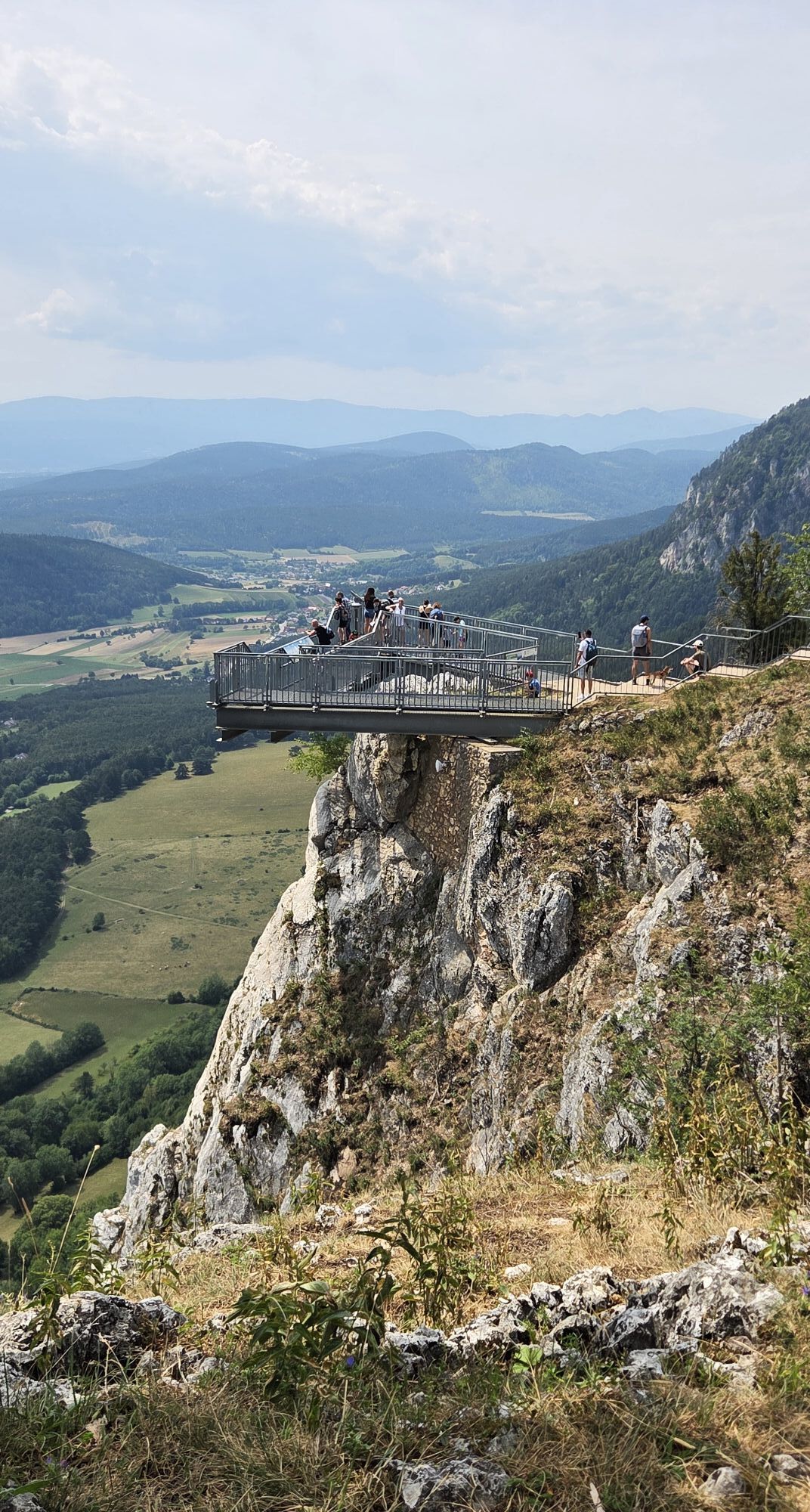
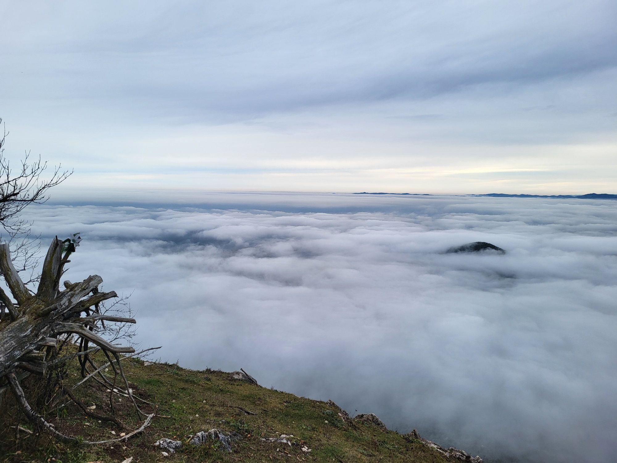
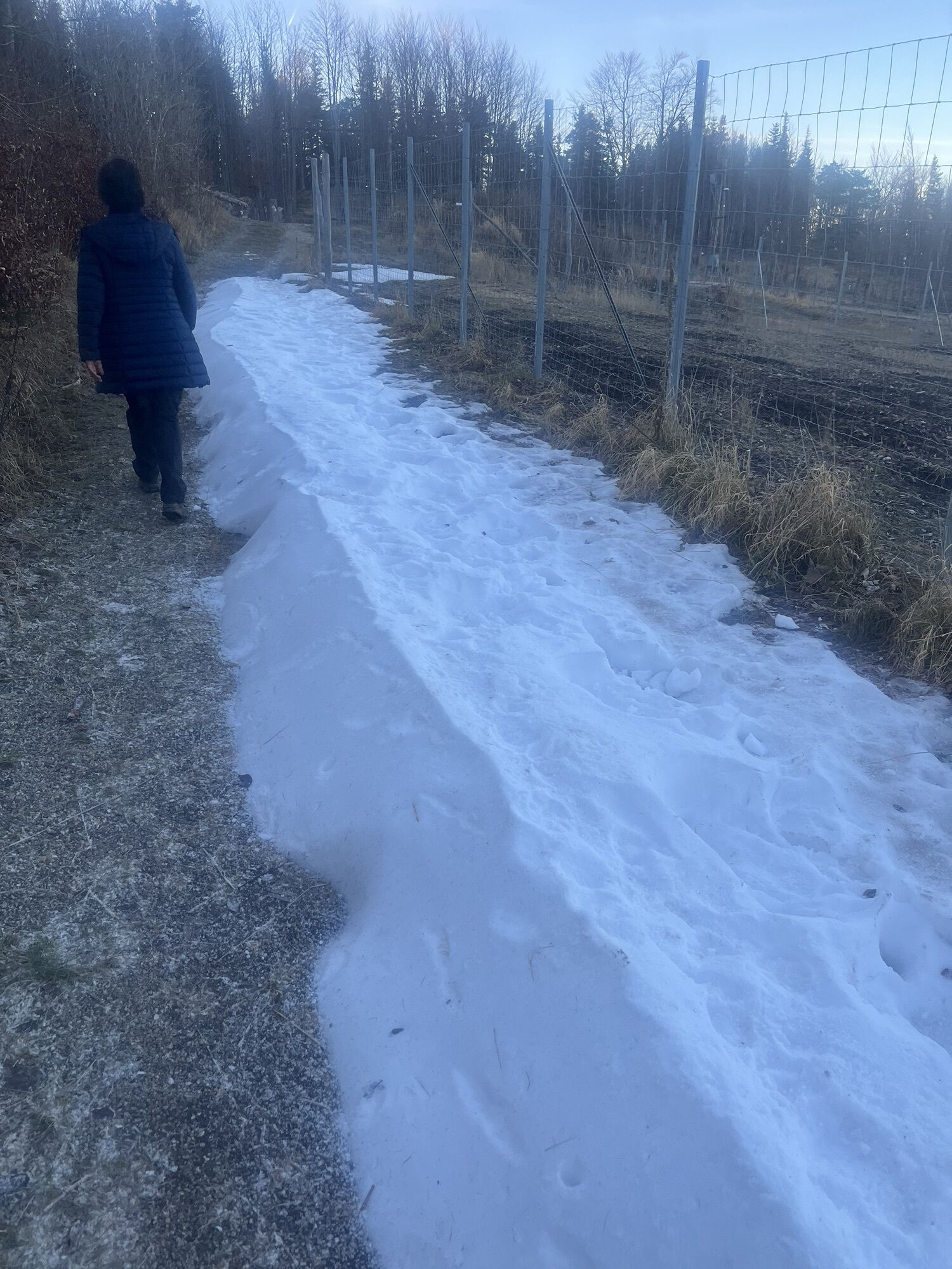
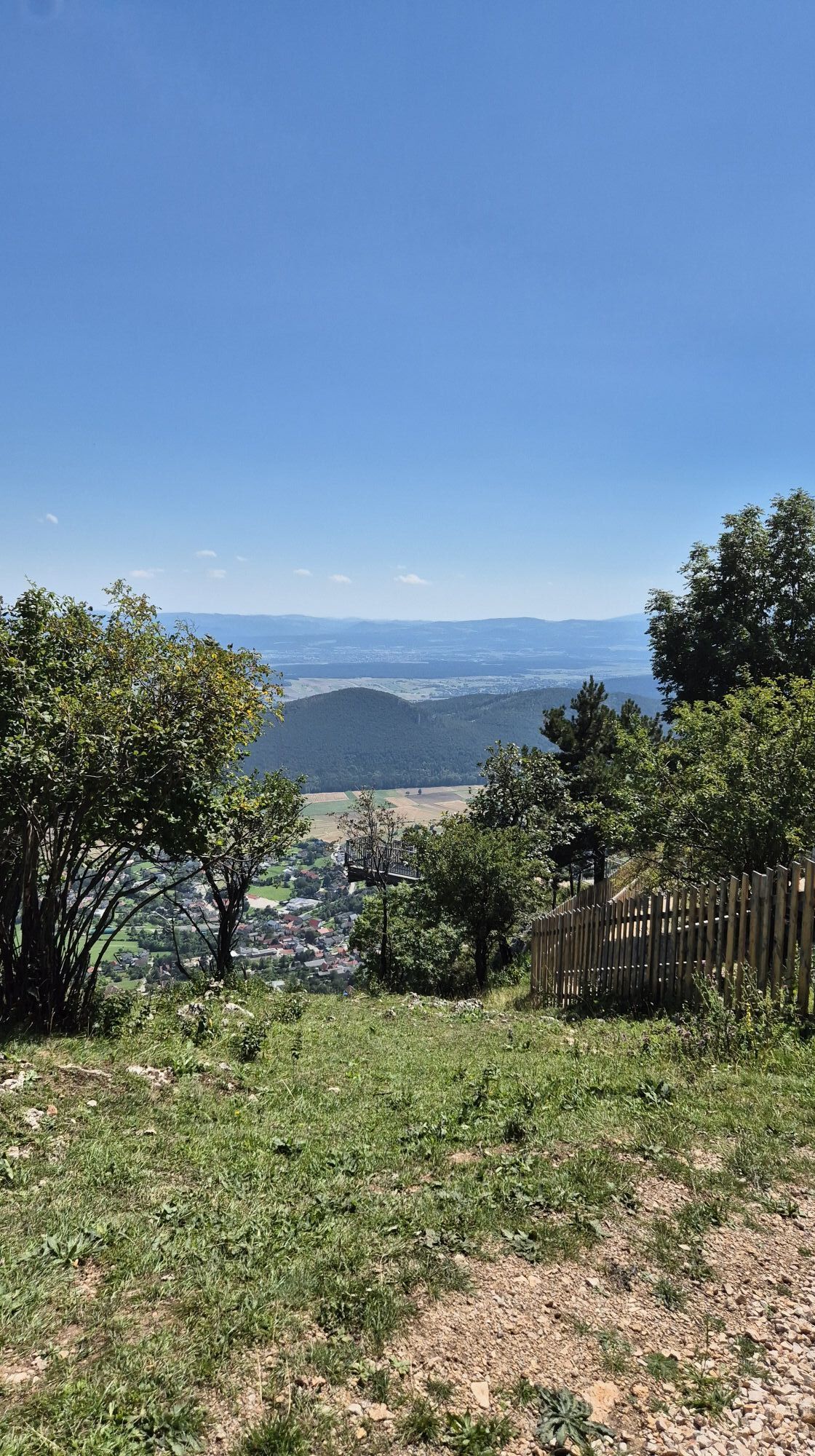
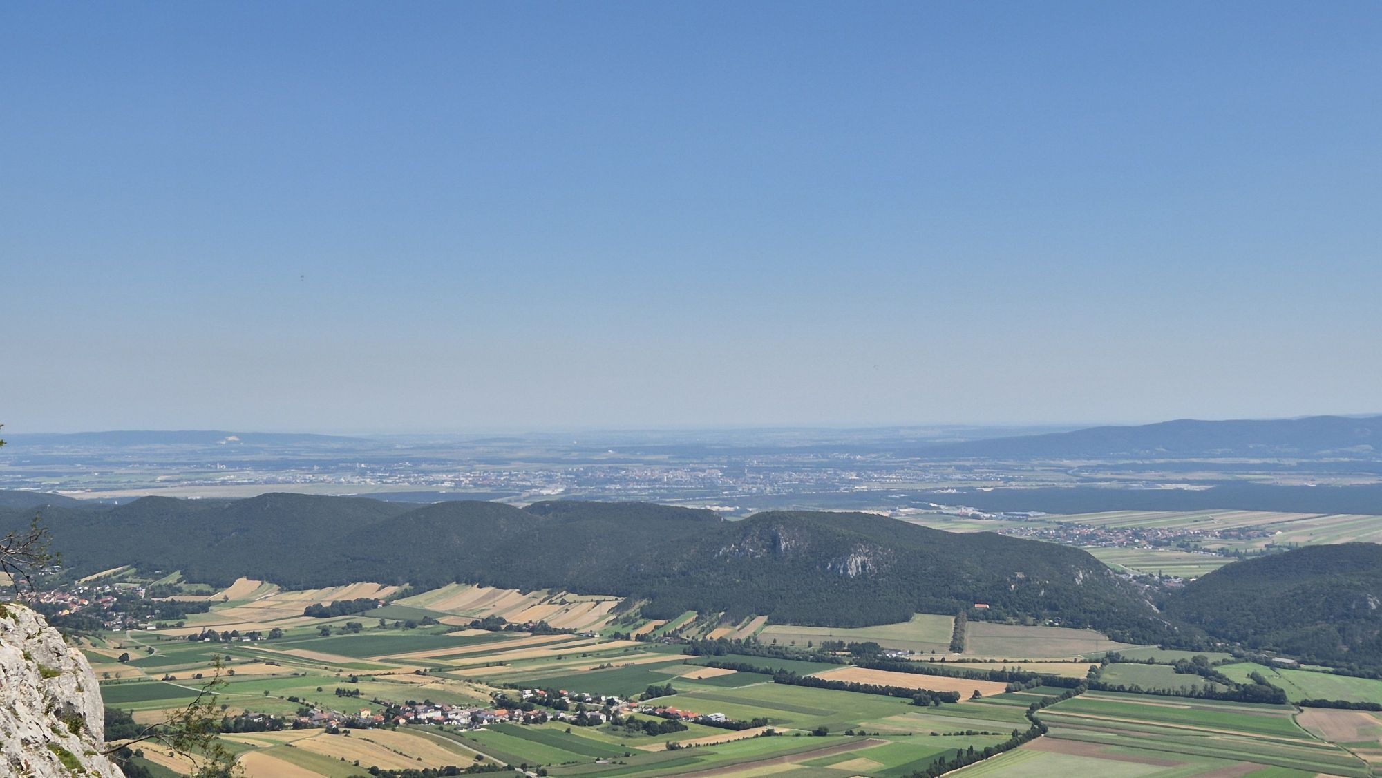
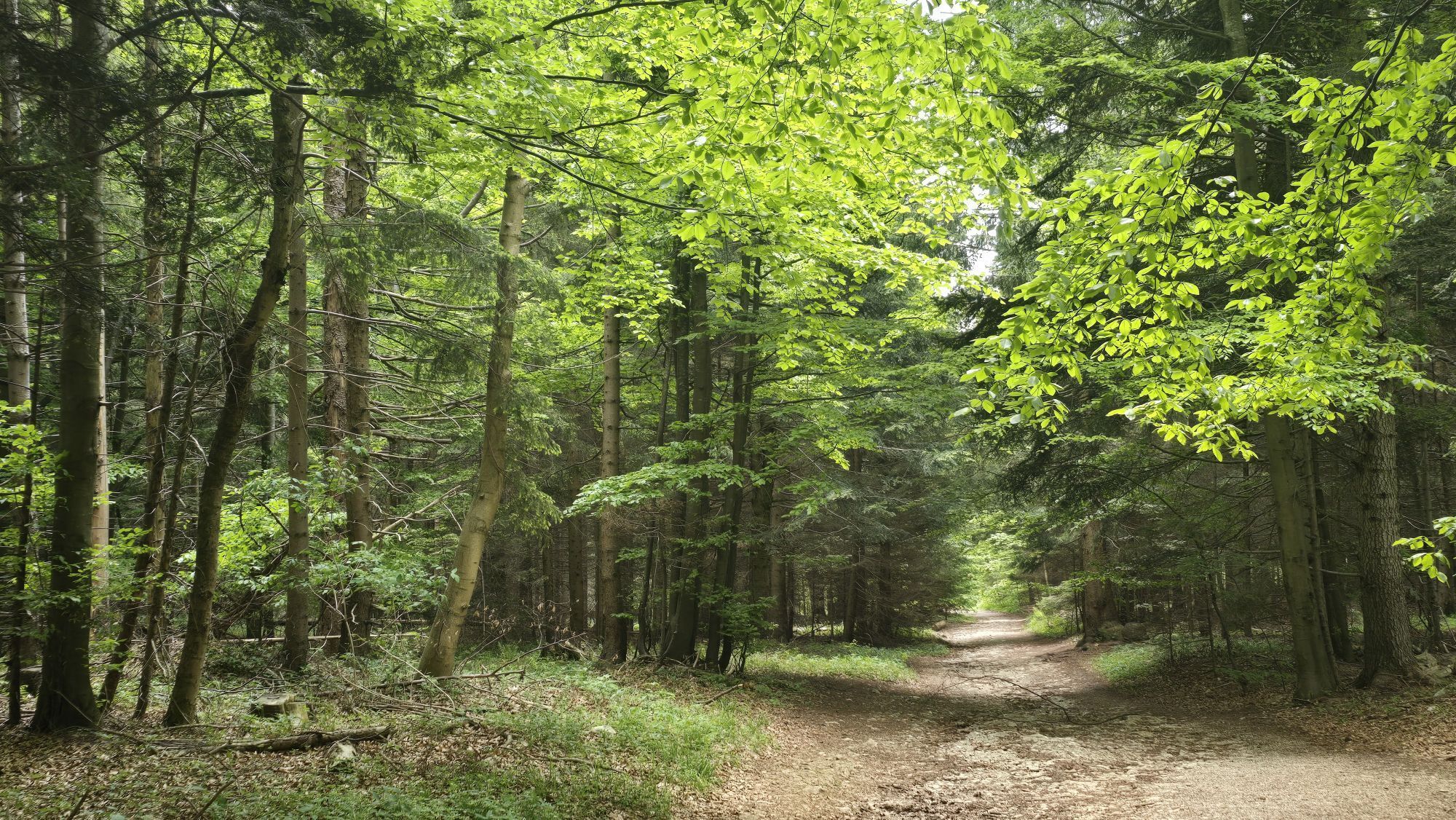
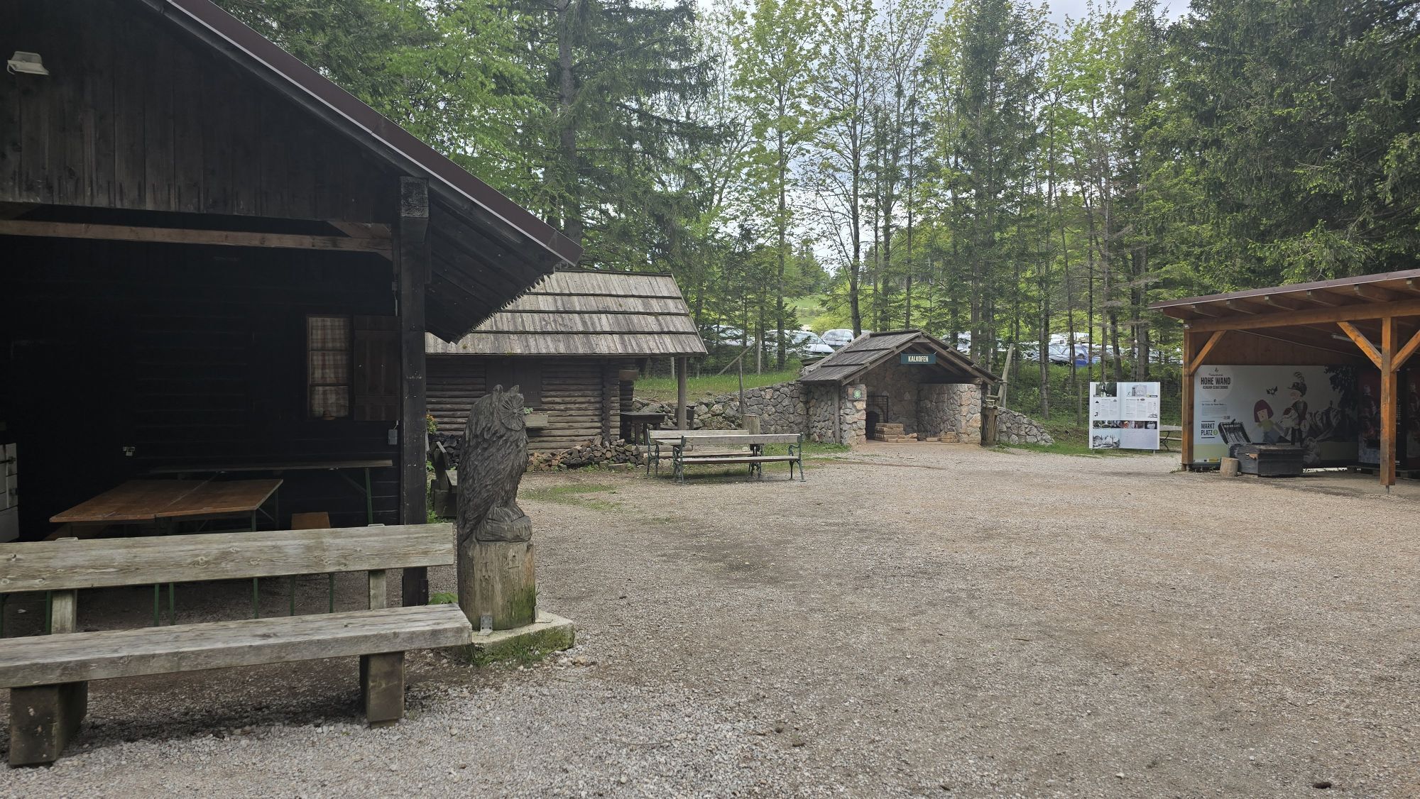
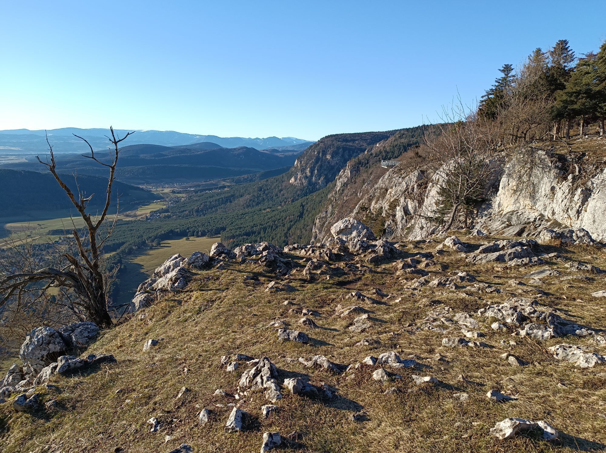
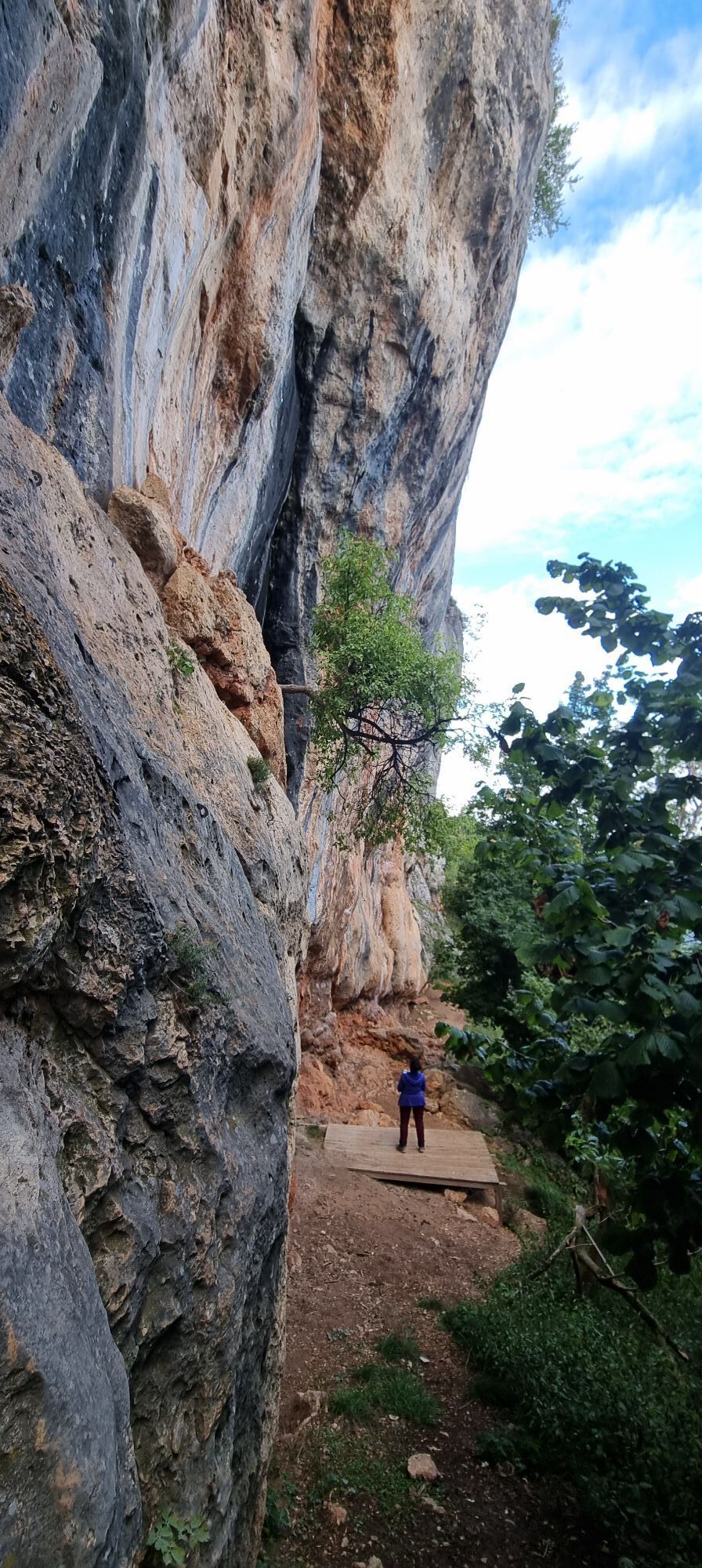
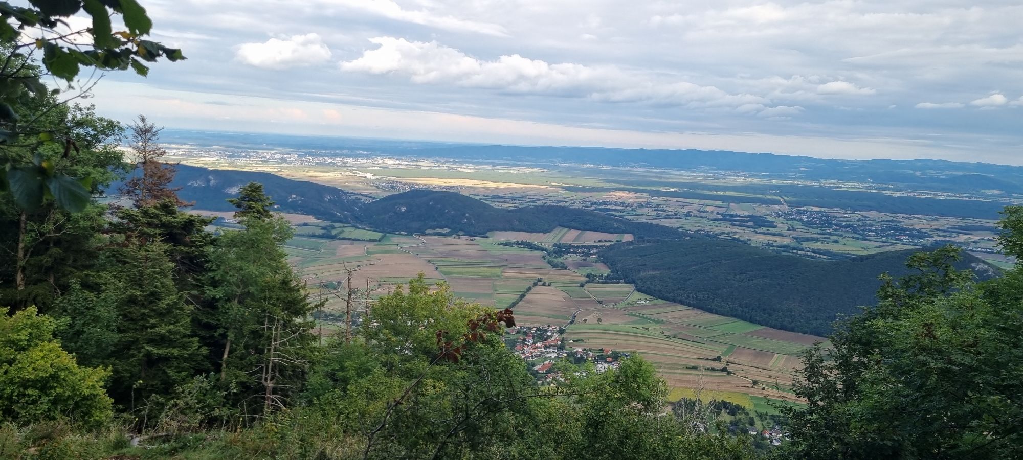
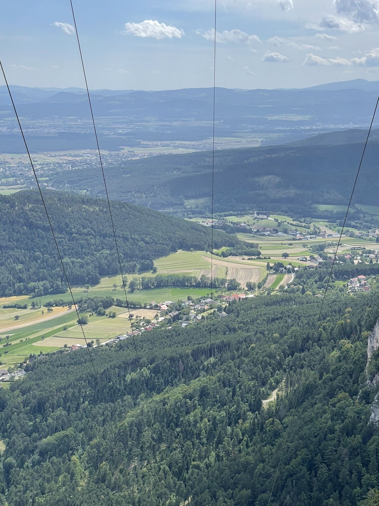
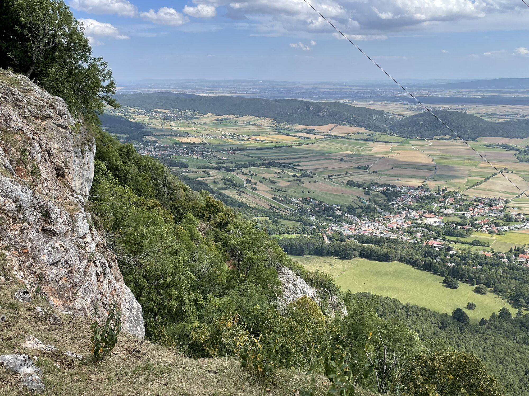
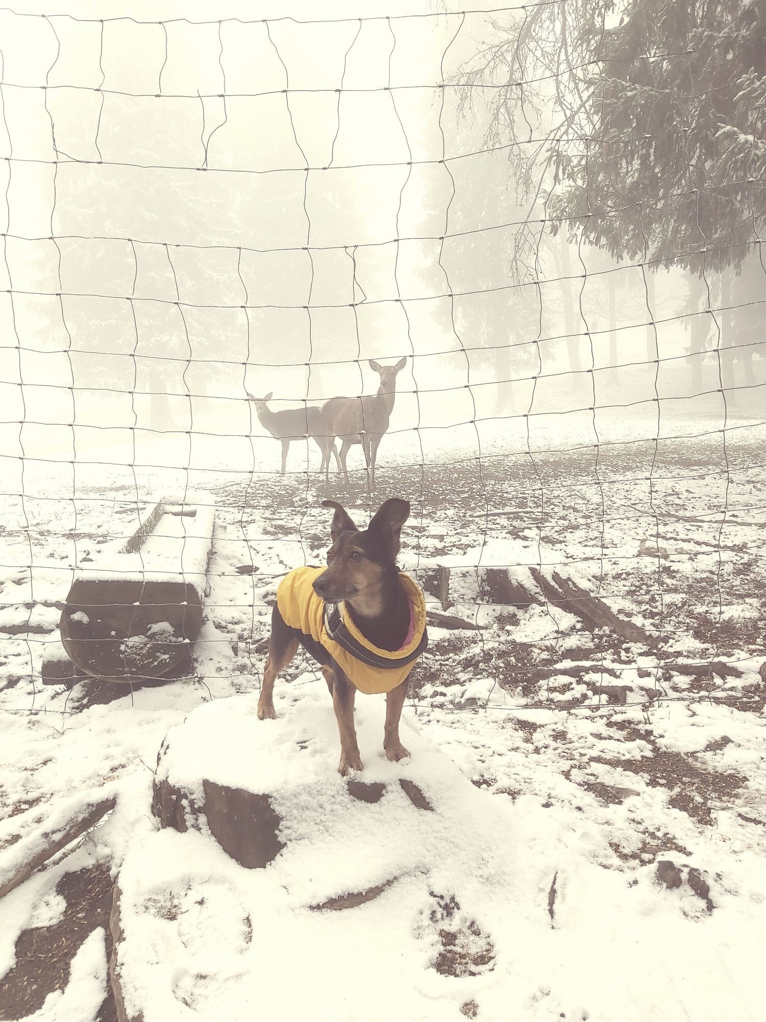
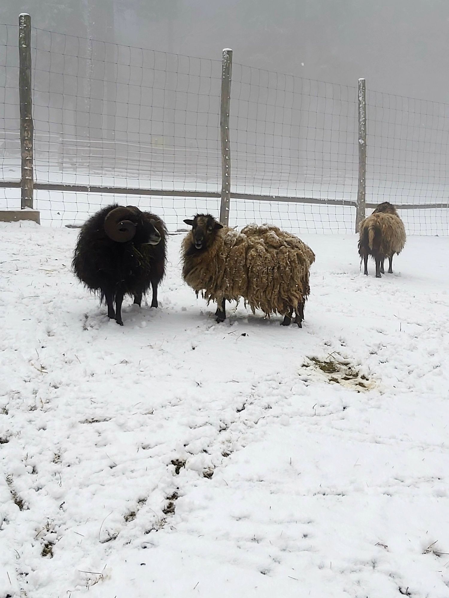
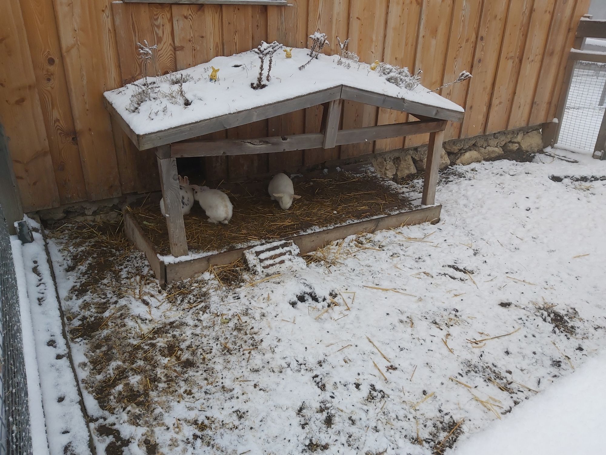
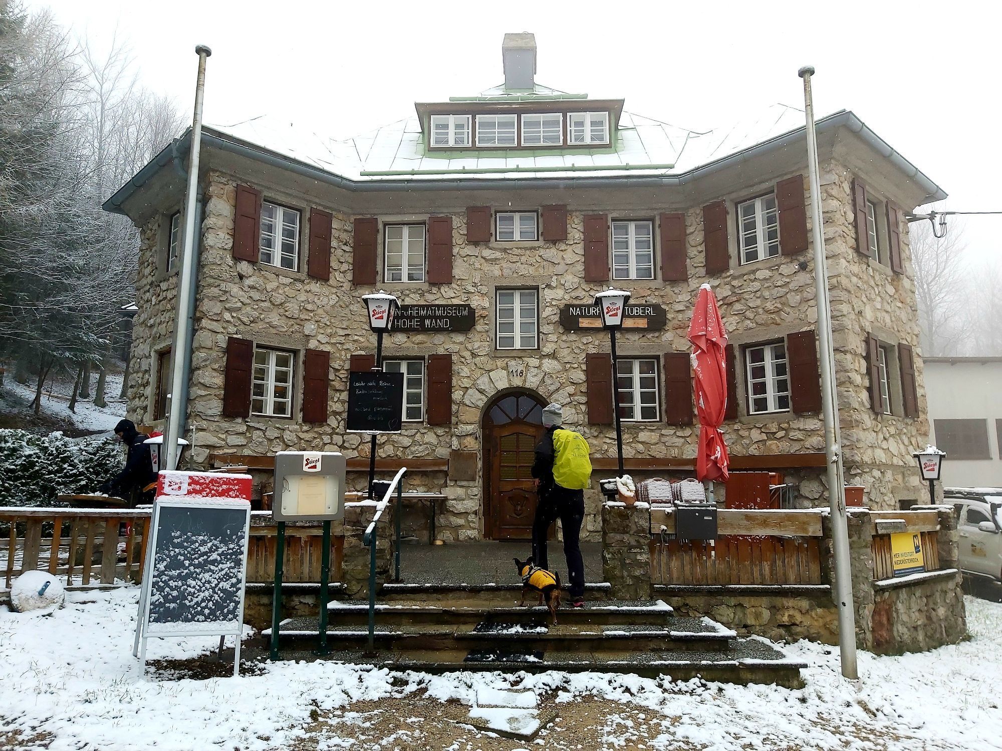
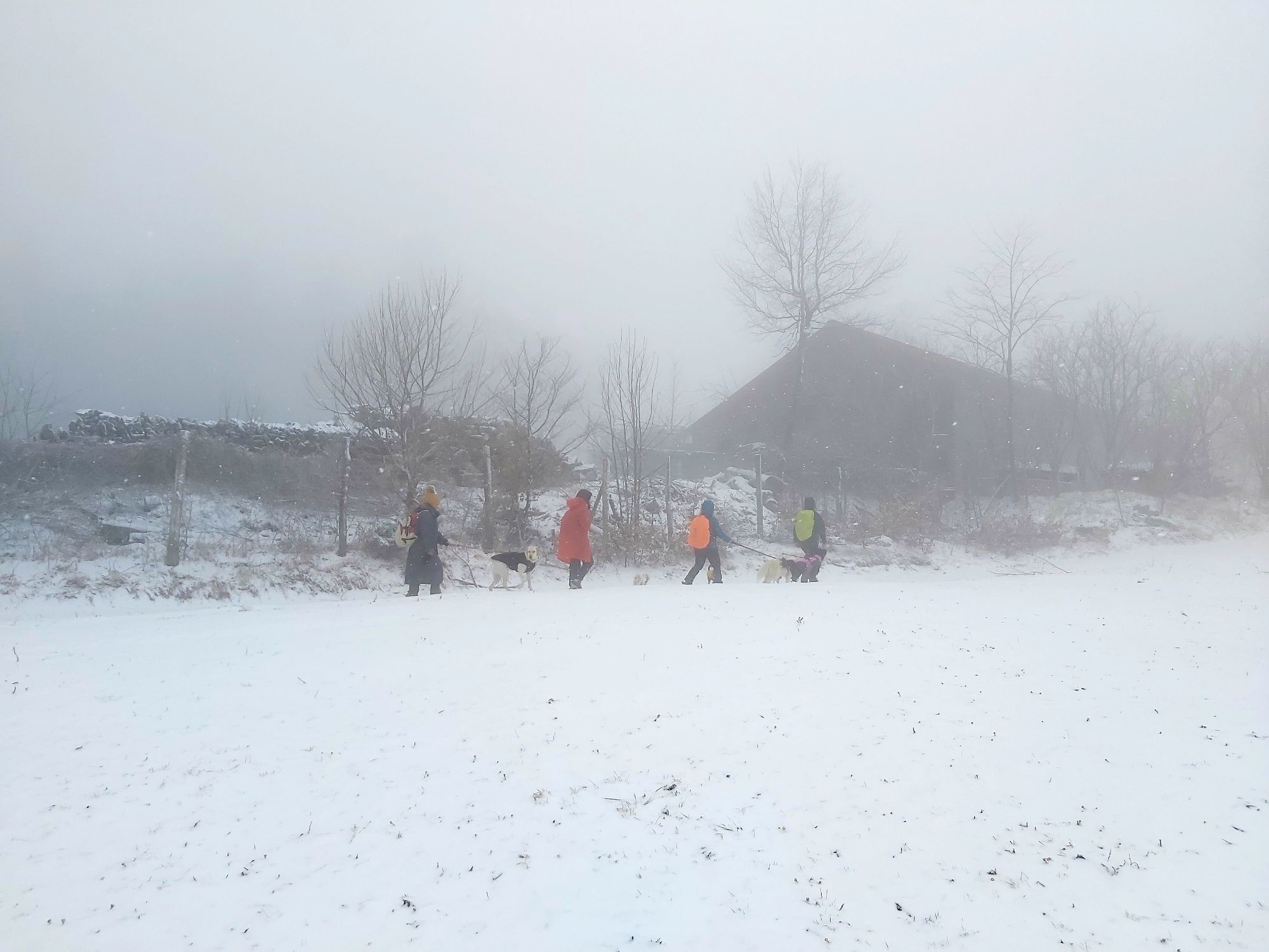
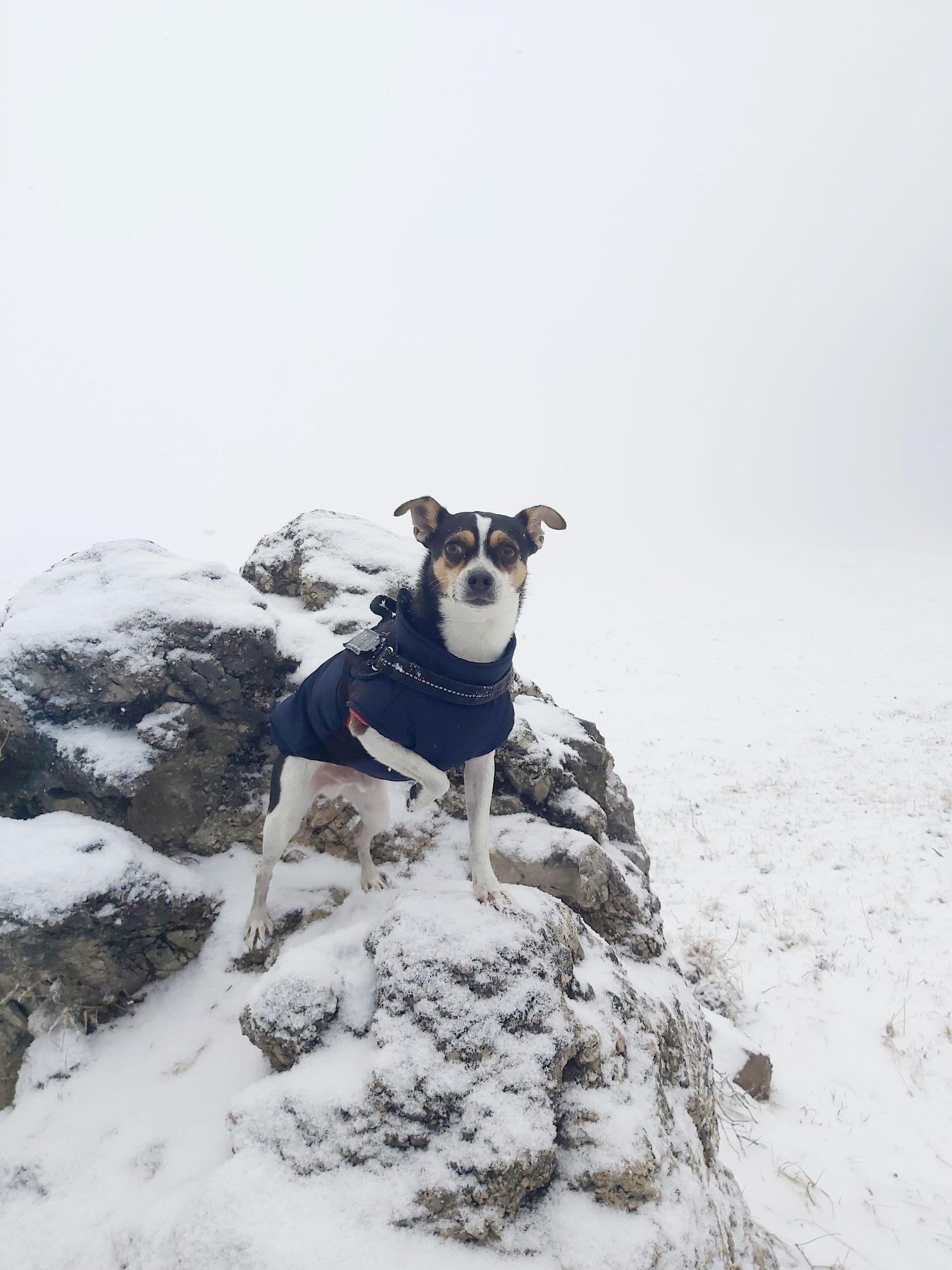
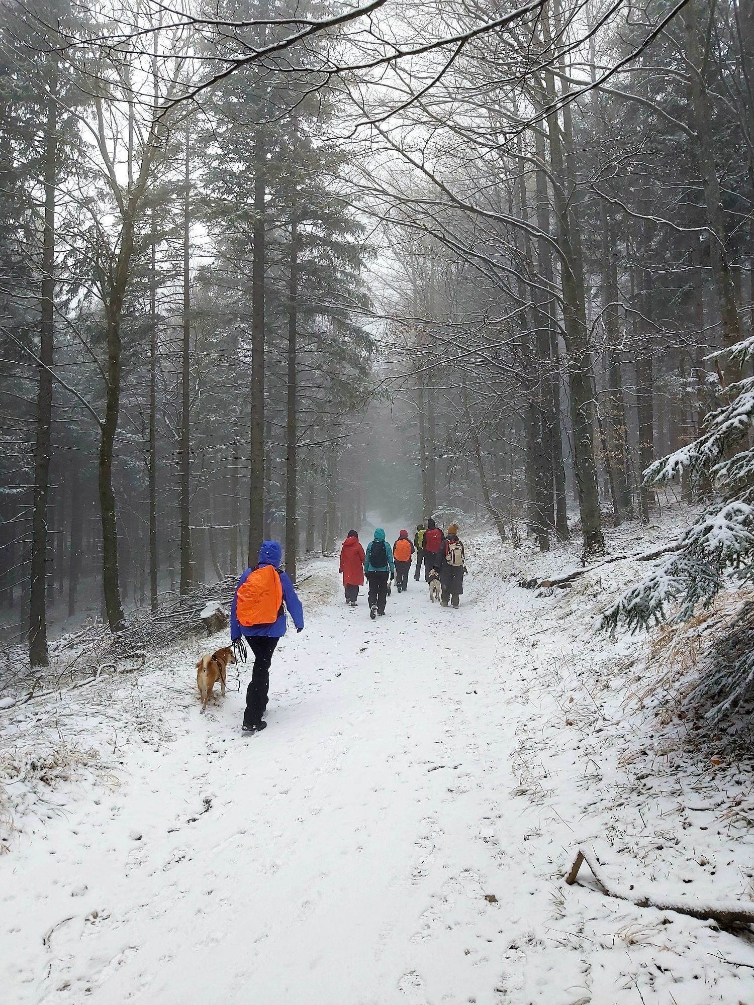
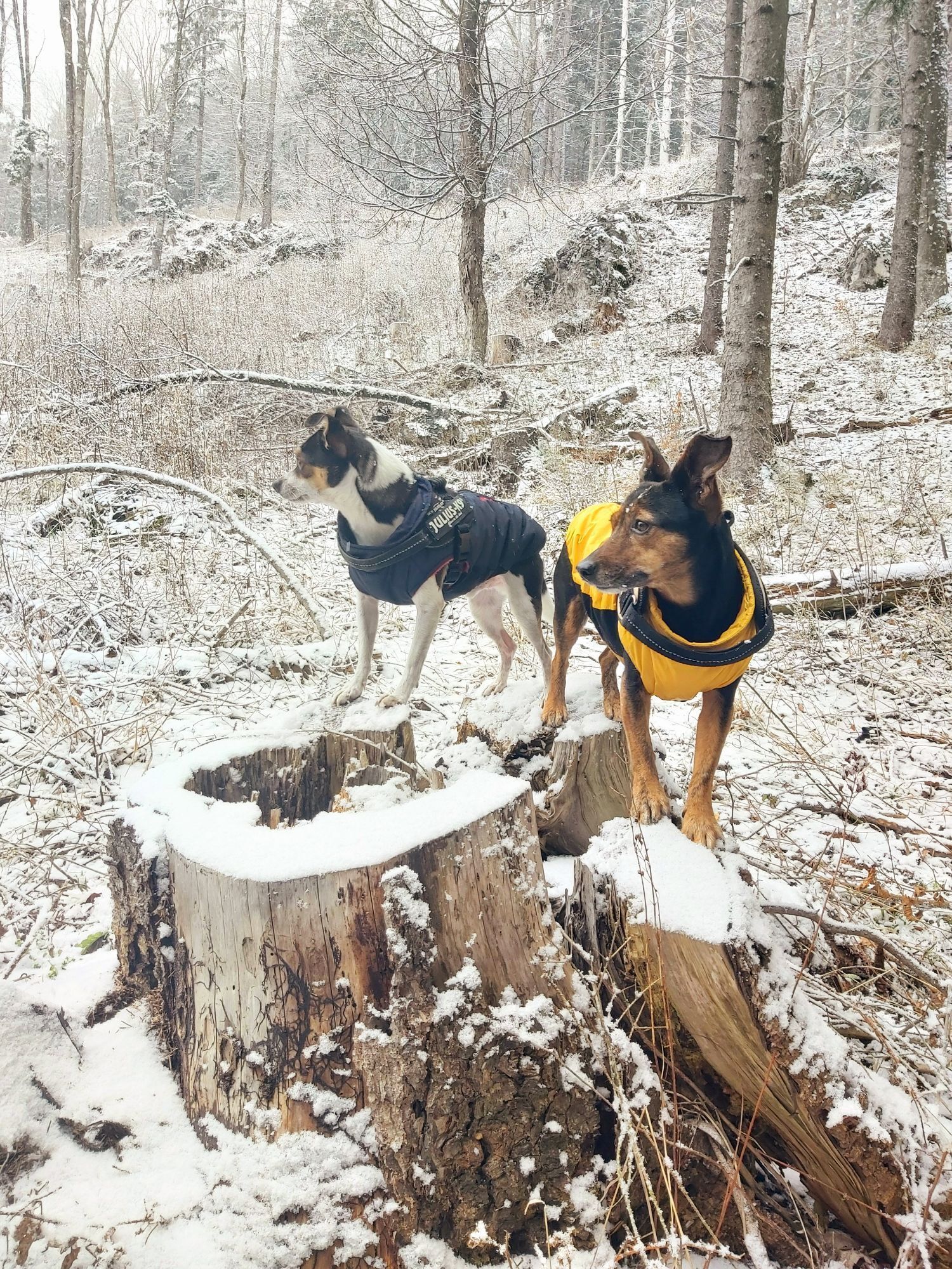
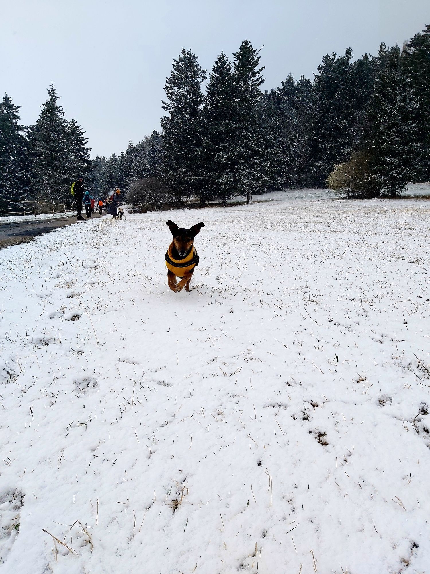
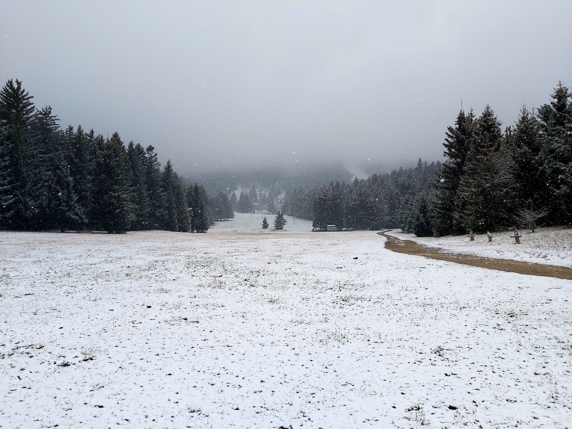
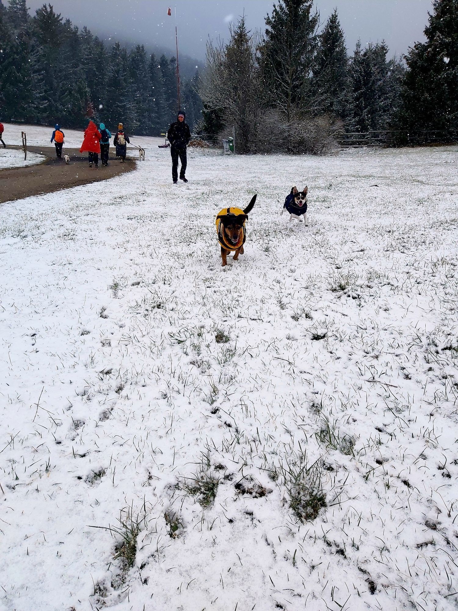
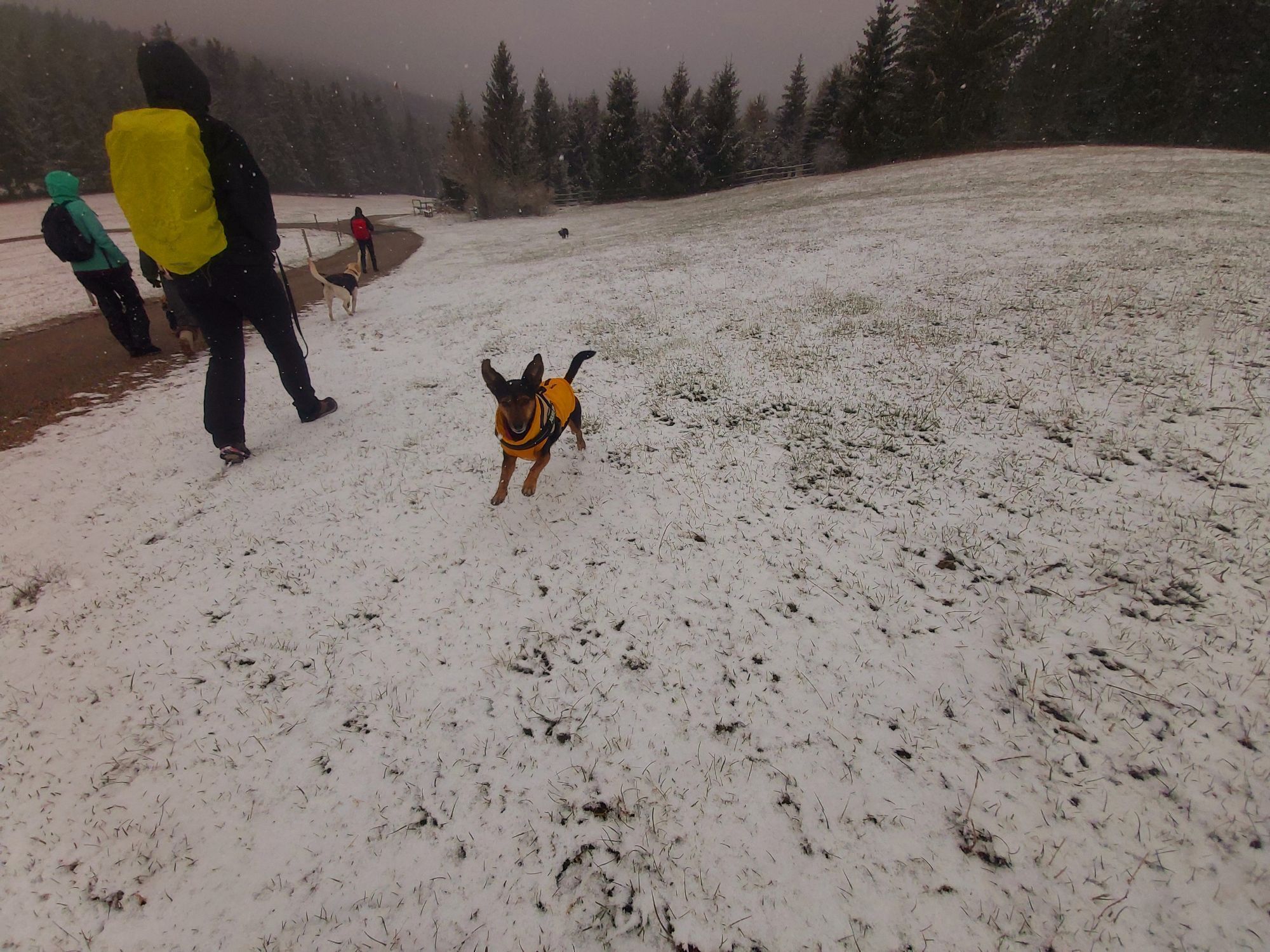
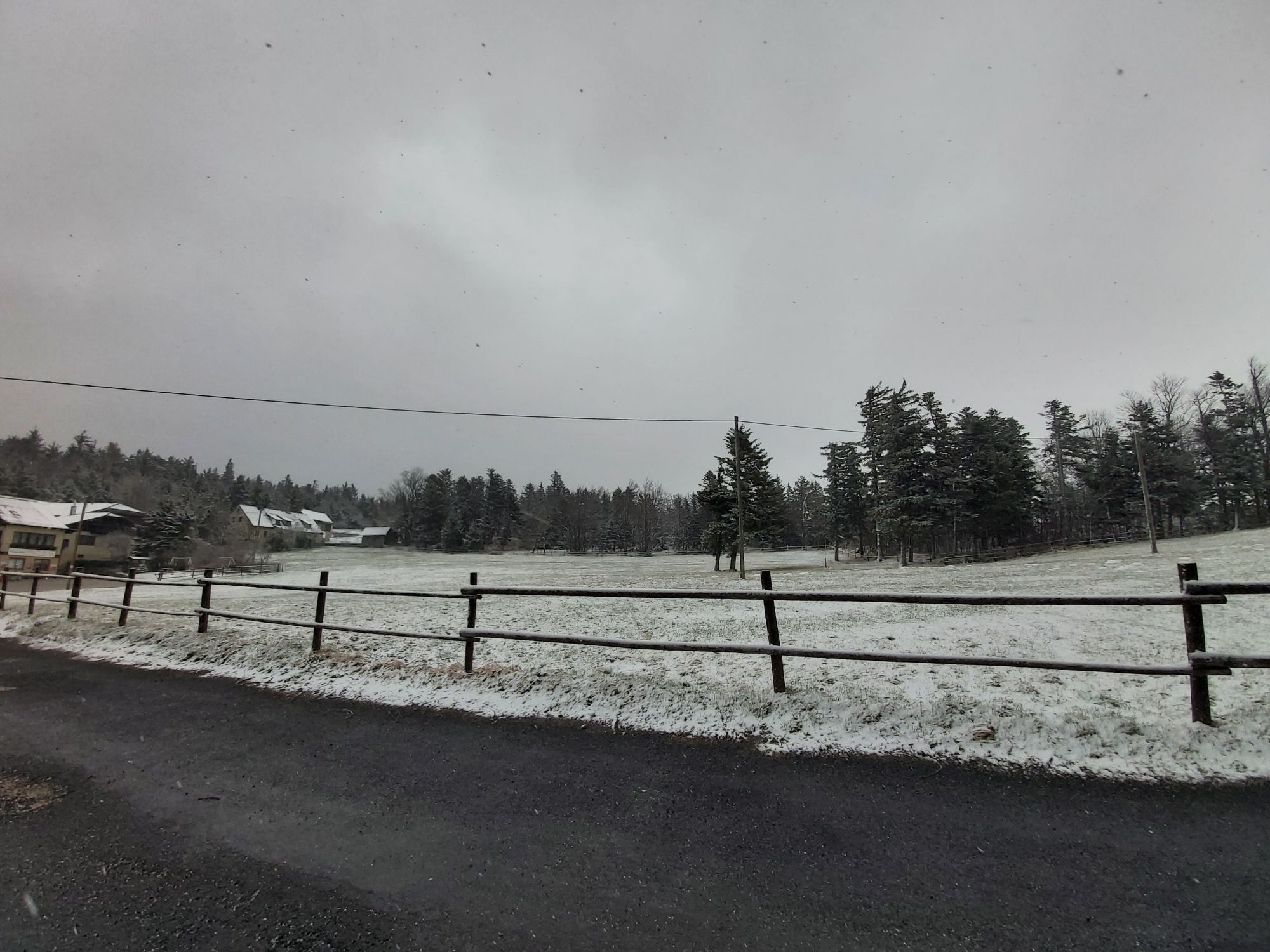
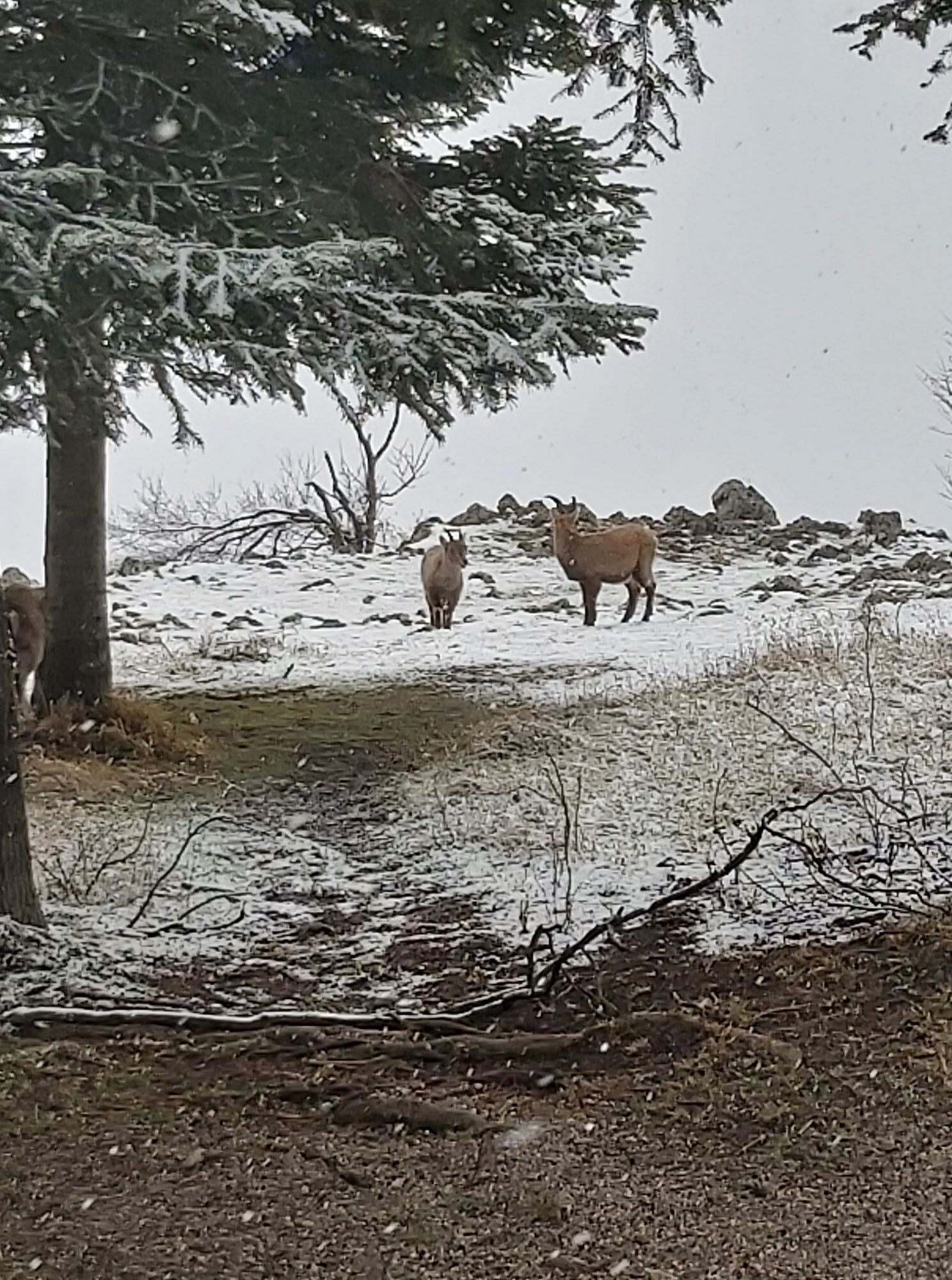
On the hike through the forests of the Nature Park, curious enclosure residents, a petting zoo, and as a highlight the Skywalk viewing terrace await us.
At the petting zoo, goats, donkeys & Co. await plenty...
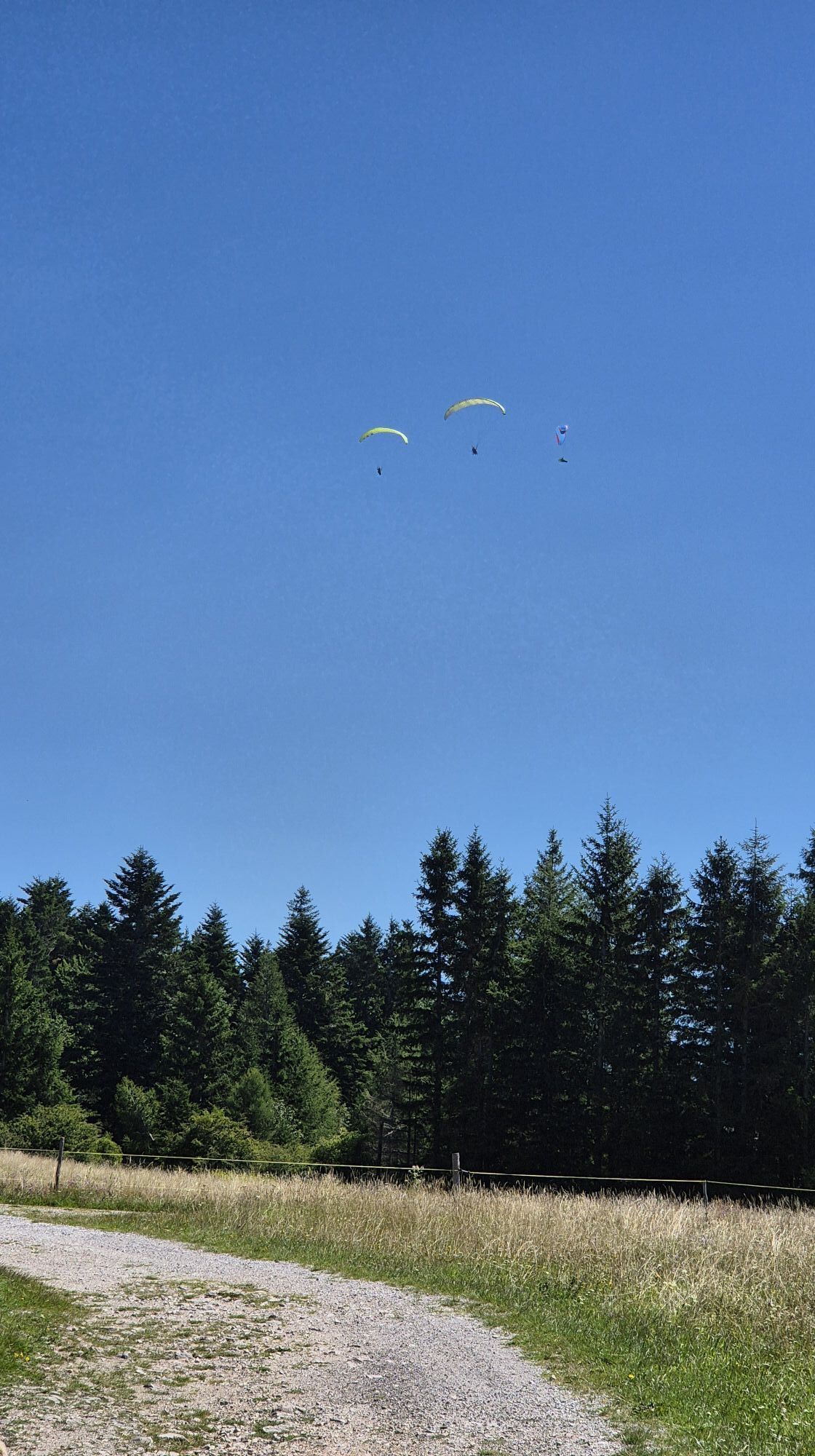
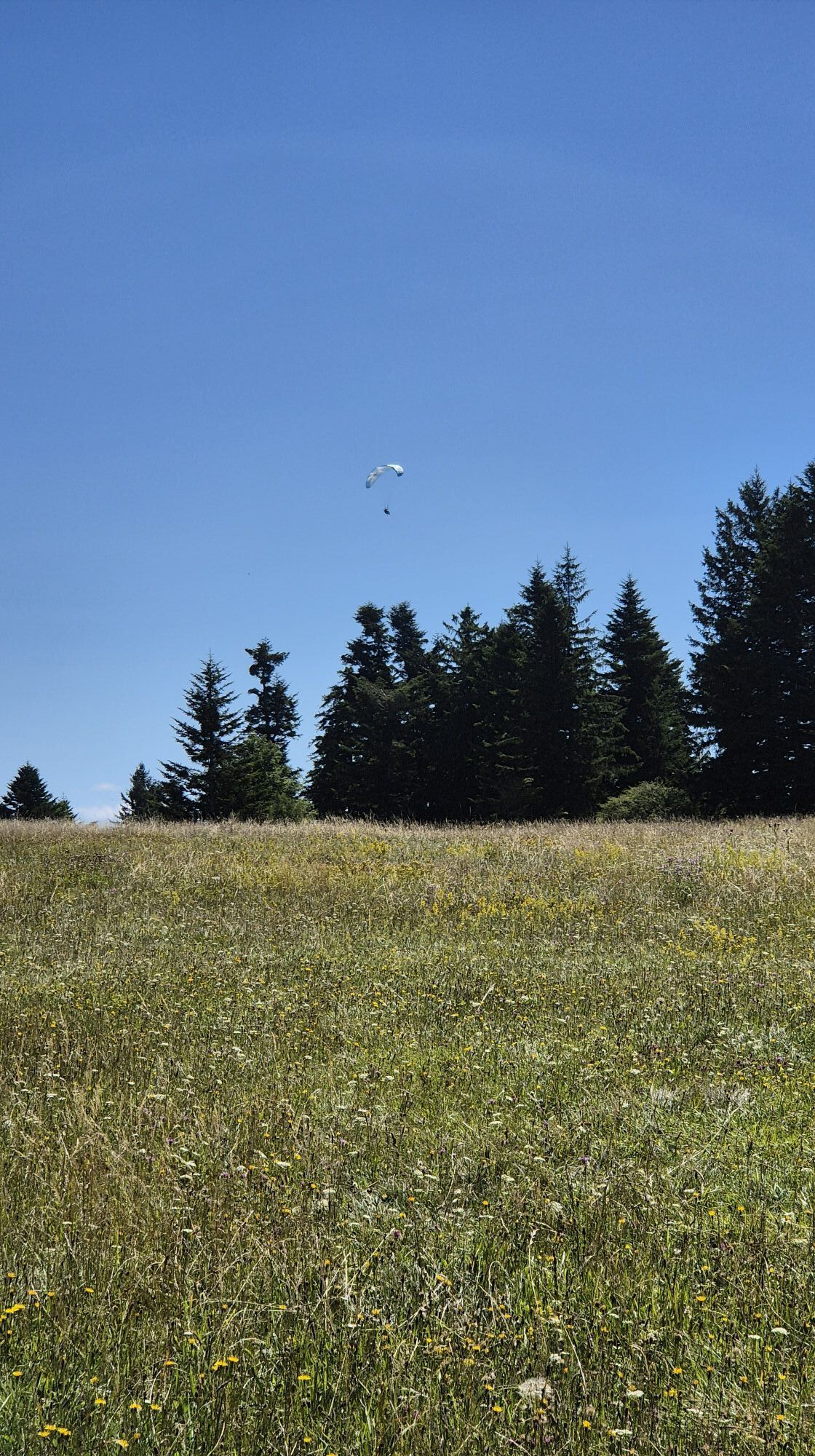
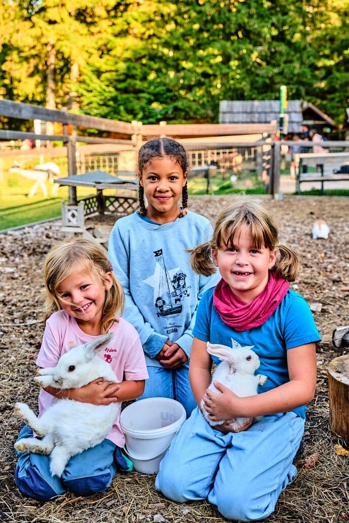
<p>On the hike through the forests of the Nature Park, curious enclosure residents, a petting zoo, and as a highlight the Skywalk viewing terrace await us.</p><p>At the petting zoo, goats, donkeys & Co. await plenty of petting. Right next door, you learn interesting facts about the old trades of the Hohe Wand residents - lime burning in the lime kiln and the production of charcoal in traditional beehive-shaped charcoal piles. At the deer enclosure, you can be amazed: the otherwise shy forest animals come very close for food from the dispenser and even let themselves be petted. After admiring these noble animals, it goes on to Gasthof Postl. On the way there, you discover orchids and other rare plants at the side of the path. Airy deep and distant views can be experienced when you visit the Skywalk viewing terrace. Climbers ascend the Hohe Wand via various routes and compete with the ibex. Who can do it better? In any case, it is quite possible to encounter such a magnificent specimen on the rock faces. In good weather, you can also witness the start of the paragliders. Who would like to try a tandem flight or fly the glider themselves? The Fly-Hohe Wand flight school at Gasthof Postl makes this possible. For all those who want to refresh themselves before the return: At Gasthaus Luf, the fried chicken and of course all other dishes are highly recommended.</p>

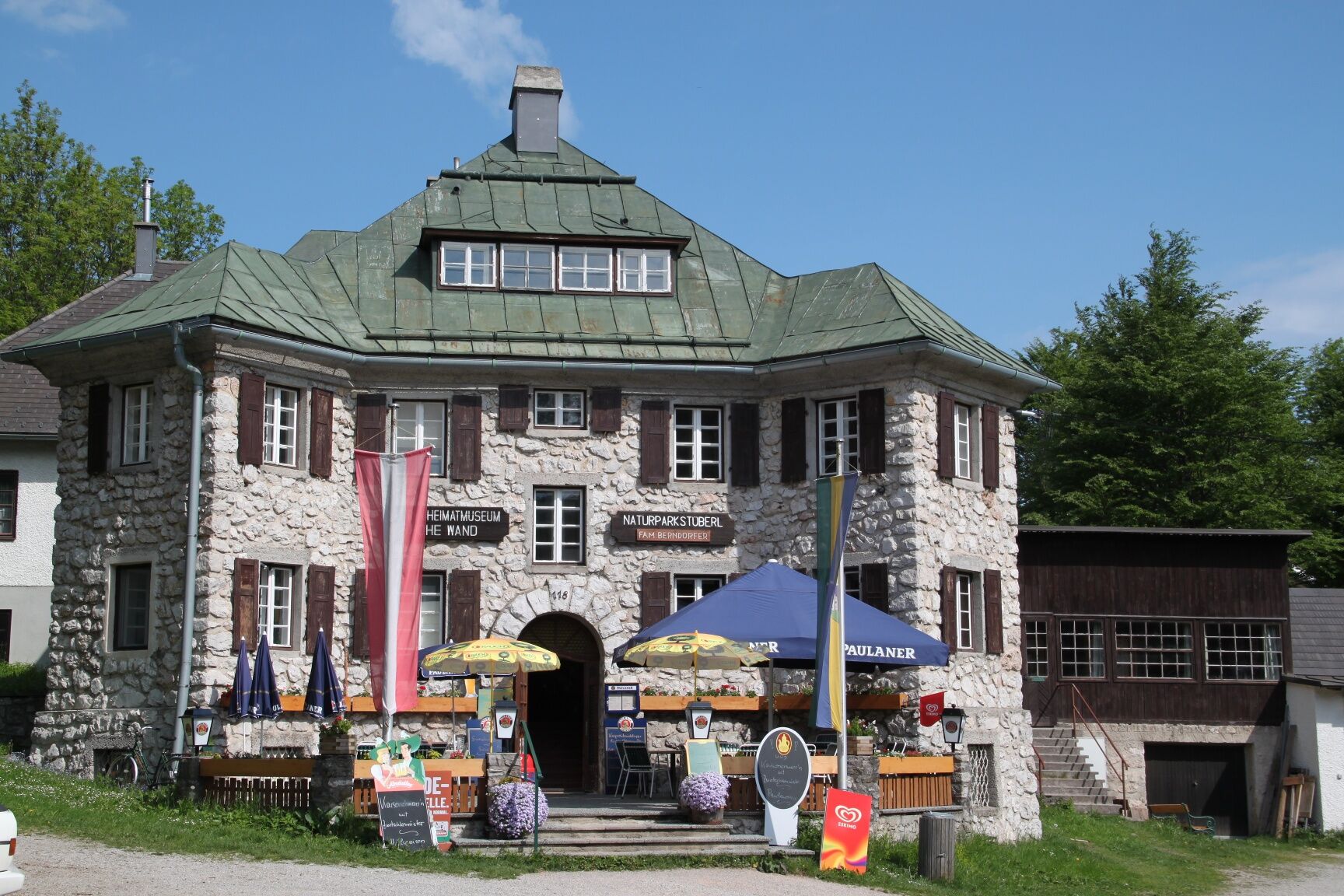
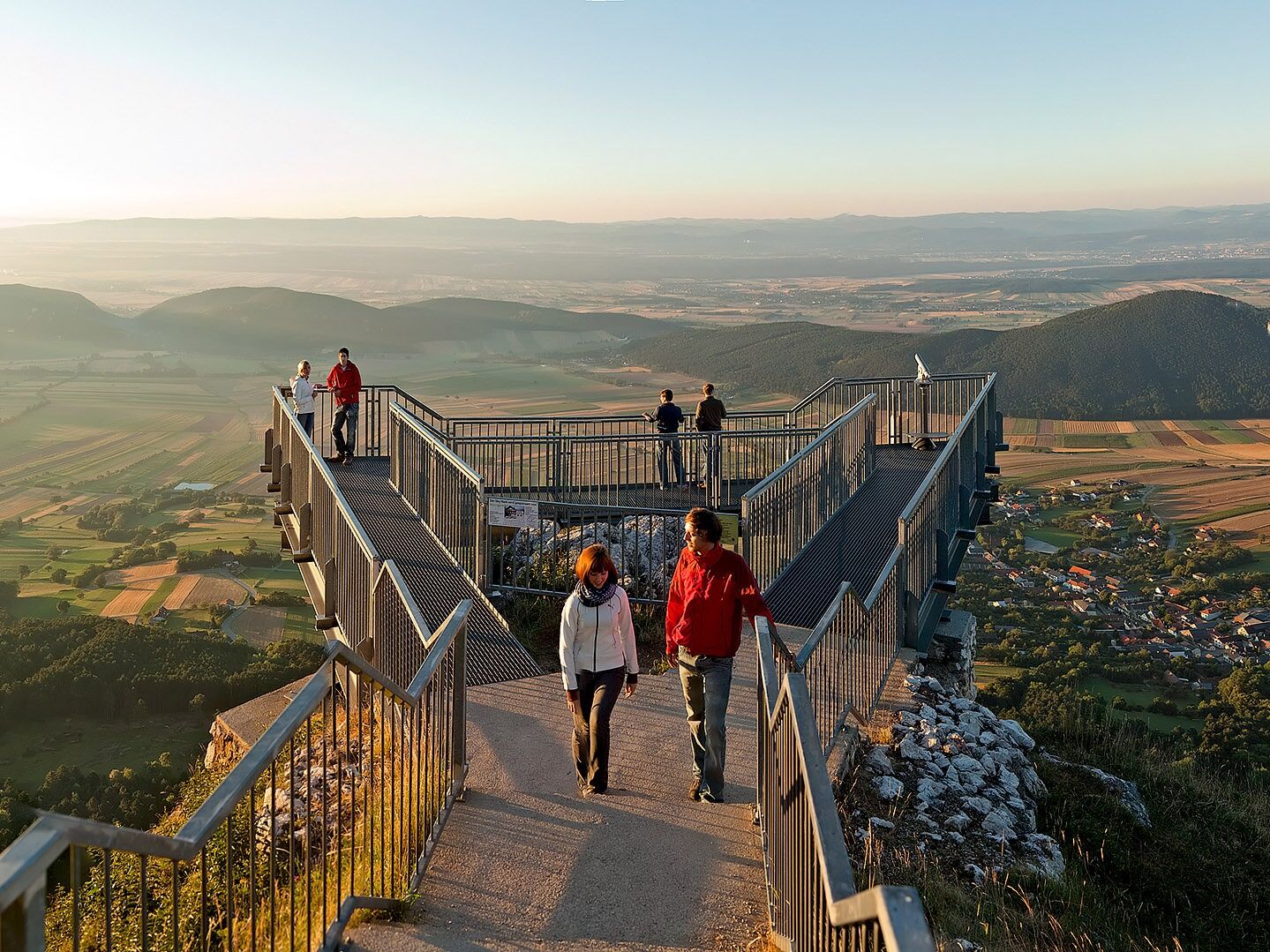
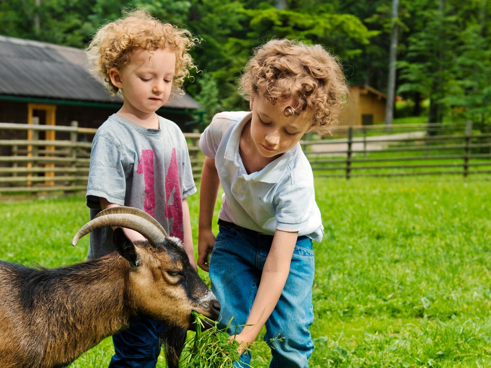
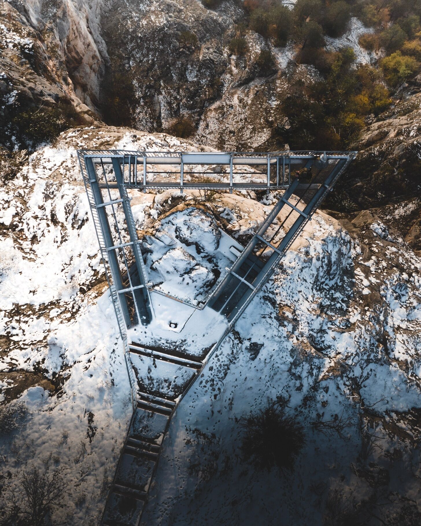

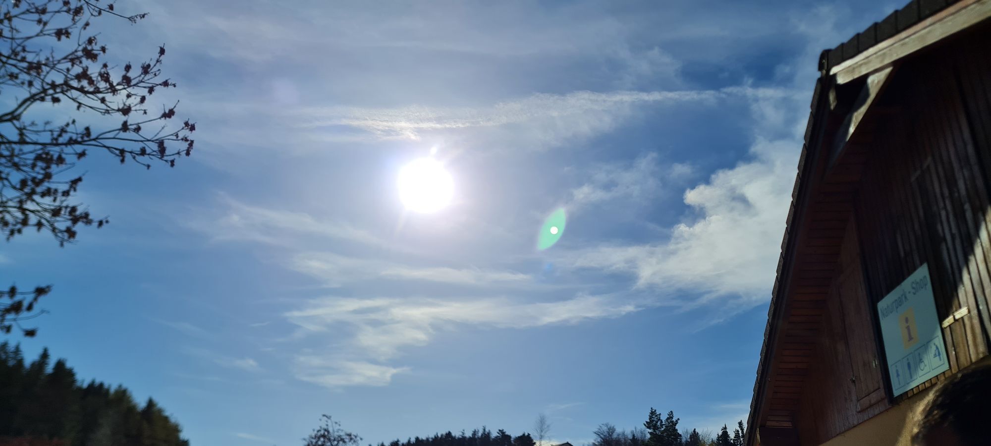
<p>Starting at the Nature Park Info Shop, the path leads us to the petting zoo. We follow the RWW 2 - Gasthof Postl/Skywalk towards the enclosure. Passing the deer enclosure, we continue left until we reach the road. It is about 200 m to the Gasthof Postl junction. Now we go downhill to the Long Meadow, then Gasthof Postl is already in sight. Heavenly views can be enjoyed from the Skywalk viewing terrace. Now we return to the parking lot at Gasthof Postl. We keep left towards Gasthaus Luf/Hochkogelhaus. The path to Gasthaus Luf (closed on Mondays) leads us through quiet forests and first goes uphill, then a flat stretch before going downhill again and the last part uphill. After Gasthaus Luf, we continue to Hochkogelhaus. Here begins the rather flat path towards Gasthof Kleine Kanzel - fallow deer enclosure, which takes us comfortably back to the starting point in about an hour.</p>
<p>Always bring suitable <strong>maps</strong>. Wear sturdy <strong>shoes</strong> adapted to the route, bring sun and rain protection as well as water and a snack. Take your <strong>mobile phone</strong> with you and save the mountain rescue emergency number: 140</p>
<p>Your hikes in the Vienna Alps should be a completely beautiful and safe experience. Therefore, please observe the following:</p><p><strong>Preparation</strong></p><p>Make sure when choosing the route that it matches your mountain experience and your <strong>fitness</strong>. Check the <strong>weather forecast</strong> beforehand. The weather in the mountains can change surprisingly fast. Therefore, always set out suitably equipped (e.g. rain protection).</p><p>Check if the <strong>huts and snack stations</strong> you want to visit en route are open. <strong>Inform</strong> someone about your route choice and your planned return before you go.</p>
<p> 1) A2 – Exit Wöllersdorf – right B21 towards Gutenstein – turn off to Dreistetten – Muthmannsdorf – Emmerberg – Gaaden – Stollhof – year-round over the mountain road to the Hohe Wand plateau<br /><br /> 2) A2 – Exit Wiener Neustadt West – Weikersdorf – Winzendorf – Emmerberg – Gaaden – Stollhof – Hohe Wand<br /><br /> 3) From Neunkirchen – Würflach – Willendorf – Höflein – Zweiersdorf – Maiersdorf – Hohe Wand<br /> </p>
<p>By Südbahn from Vienna or Graz to Wr. Neustadt – and from there onwards to Winzendorf (trains leave hourly from Wr. Neustadt towards Puchberg) – from Winzendorf you can hike through the Prosset Gorge to Maiersdorf (5 km), from where you can hike in about 1 hour to the Hohe Wand via various ascents; <br /> Or change trains in Wiener Neustadt towards Puchberg am Schneeberg - get off at Grünbach am Schneeberg - via the blue marked Grafenberg trail you reach the plateau to the Wilhelm Eicherthütte in about 1.5 hours<br /> Furthermore, you can take the Gutensteinerbahn (from Wr. Neustadt station) to Oberpiesting or Waldegg and approach the Hohe Wand from the backside<br >For more information see <a href="http:/fahrplan.oebb.at">fahrplan.oebb.at</a> and <a href="anachb.vor.at/">anachb.vor.at </a></p>
<p>Nature Park Center - Parking Lot Animal Enclosure, Kleine Kanzelstraße 241, 2724 Hohe Wand<br />Admission Nature Park Hohe Wand: Adults € 5.50 Children € 2.50 (as of April 2025)</p>
Vienna Alps in Lower Austria, www.wieneralpen.at, +43 / 2622 / 78960
Nature Park Hohe Wand, www.naturpark-hohewand.at, +43 / 2638 / 88545
Here you also get the free hiking leaflets for your tour. The tour leaflets provide an overview of the route and inform you about dining options. Please note that these are not proper hiking maps.
Combine this hike with the Regional Route of the path along the Vienna Alpine Arc and hike all the way to Markt Piesting.
Webcams de la tournée
Obtenez un aperçu
Toujours en direct avec plus de 9.500 webcams. En tant qu'utilisateur Pro, vous pouvez désormais voir les webcams correspondantes à de nombreuses randonnées dans l'application de randonnées de bergfex. Vous pouvez ainsi voir directement les conditions actuelles.

Parcours populaires à proximité
-
4,8
Flatzer Wand Wanderung
facileRandonnée 5,62 km -
4,8
ÖTK Klettersteig (vormals HTL Klettersteig) und Blutspur (D/E)
difficileVia ferrata 1,41 km -
4,8
Losenheim - Maumauwiesen - Sebastianfall - Losenheim
moyenRandonnée 8,32 km -
4,8
Hohe Wand: Babygrat (1+), Rundwanderung und Wagnersteig (A)
difficileRandonnée 11,8 km -
4,8
Hohe Wand Wagnersteig - Springlessteig
moyenRandonnée 5,59 km -
4,7
Hohe Wand: Grafenbergweg - Große Kanzel - Rastkreuz - Gländ
moyenRandonnée 9,03 km -
4,6
Grünbach - Eselsteig - Geländ
facileRandonnée 5,22 km -
4,5
Johannesbachklamm - Würflach
moyenRandonnée 11,3 km -
4,4
Hohe Wand: Frauenlucke und Völlerin
moyenRandonnée 1,90 km -
4,7
Mariahilfberg und seine Geheimnisse
facileRandonnée 5,37 km
Randonnée et suivi


Ne manquez pas les offres et l'inspiration pour vos prochaines vacances
Votre adresse électronique a été ajouté à la liste de diffusion.





