







Hubertus round - Schrattenbach
Those seeking peace, relaxation, and untouched nature are right in Schrattenbach. The small municipality with the district Rosental is located near Grünbach am Schneeberg and can also be reached via the...
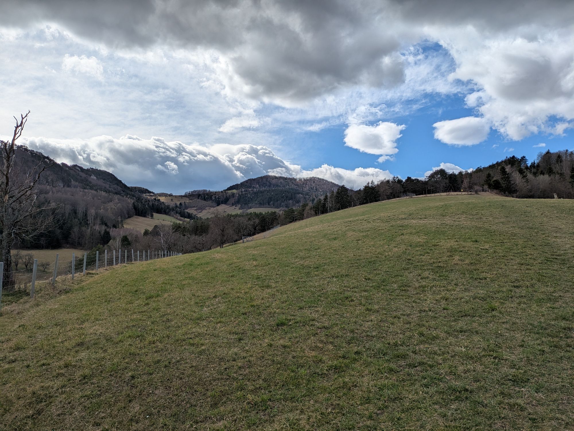
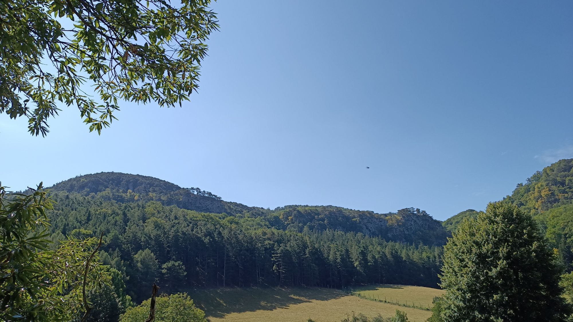
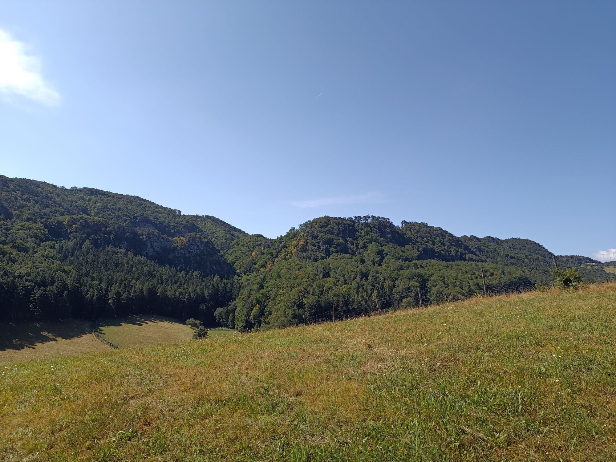
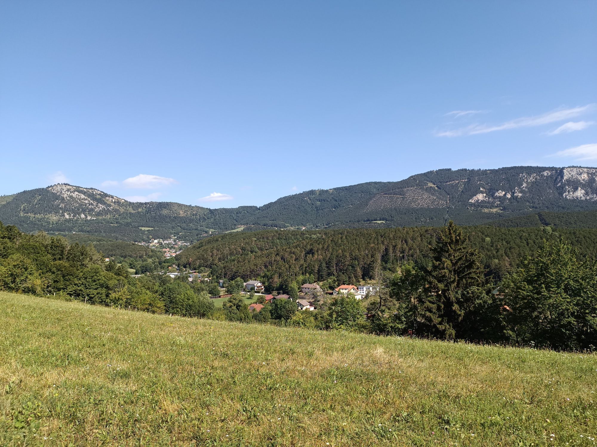
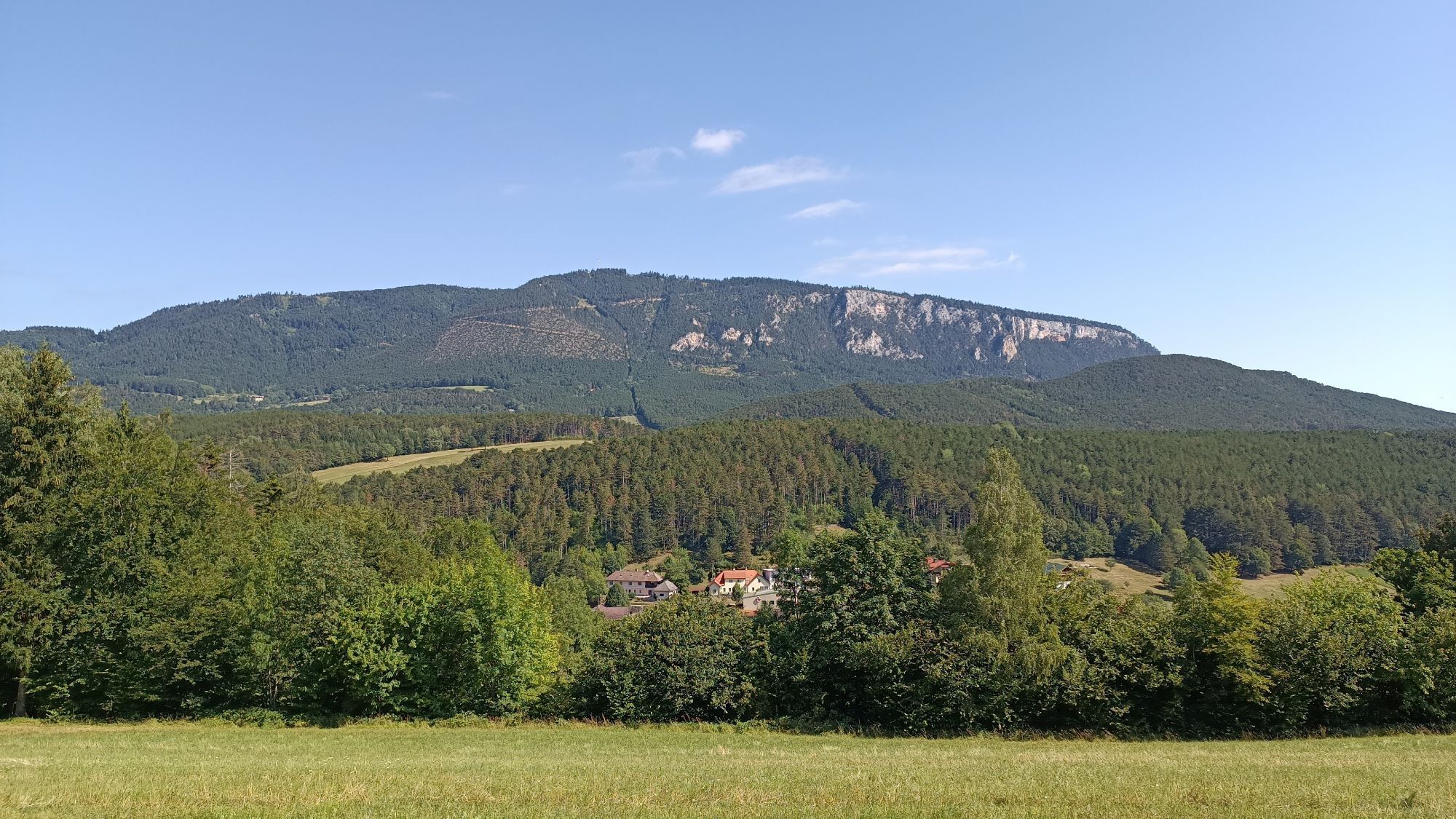
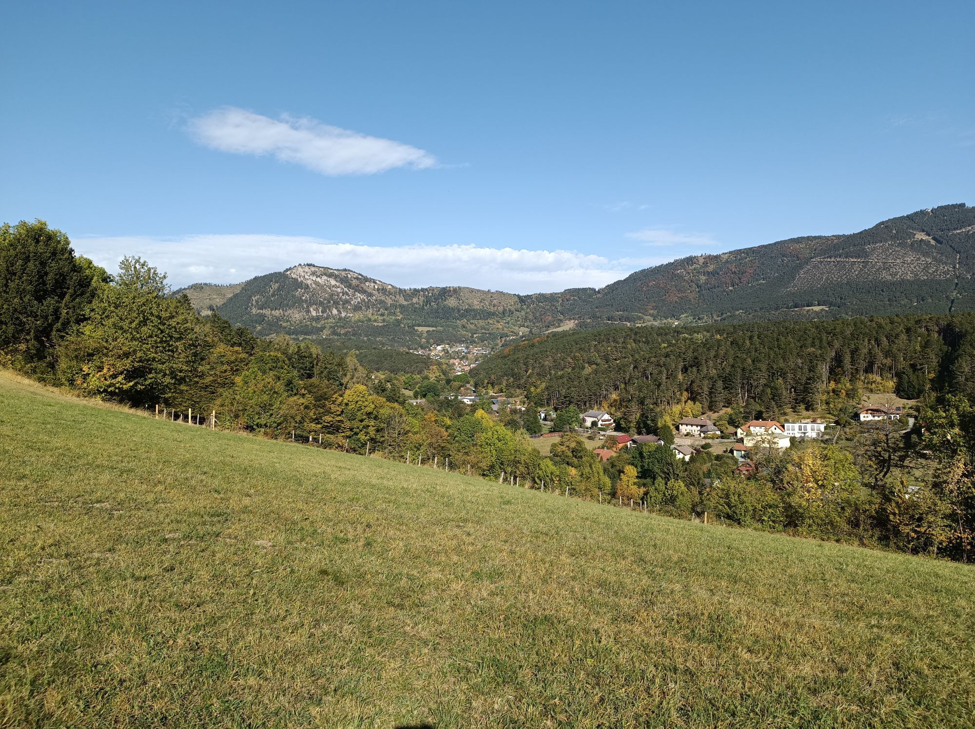
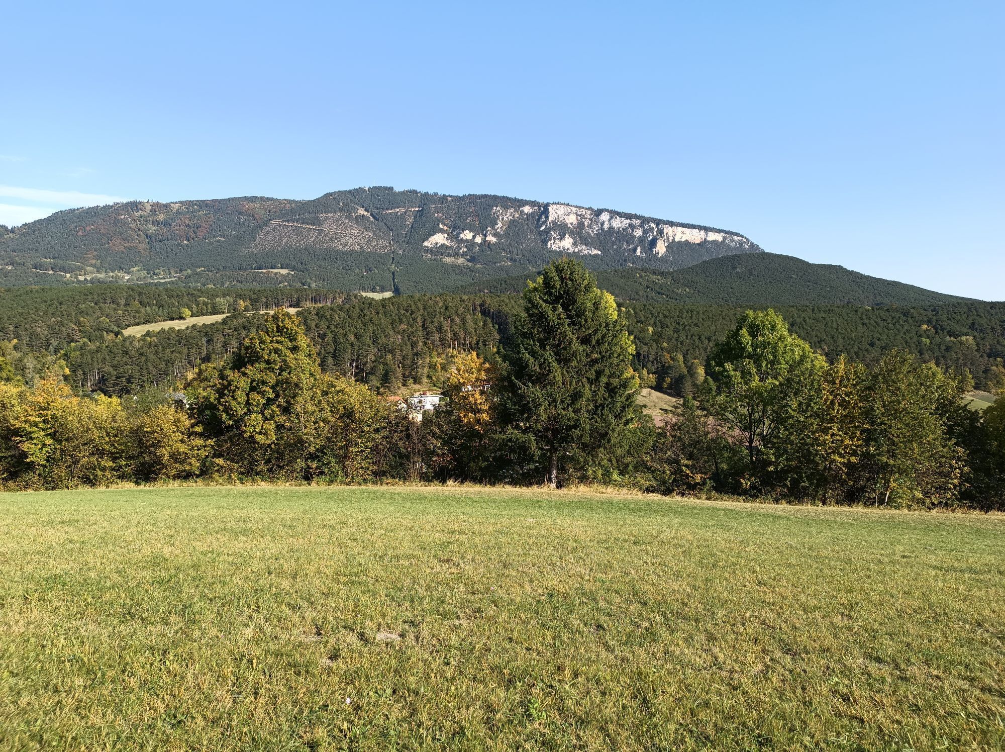
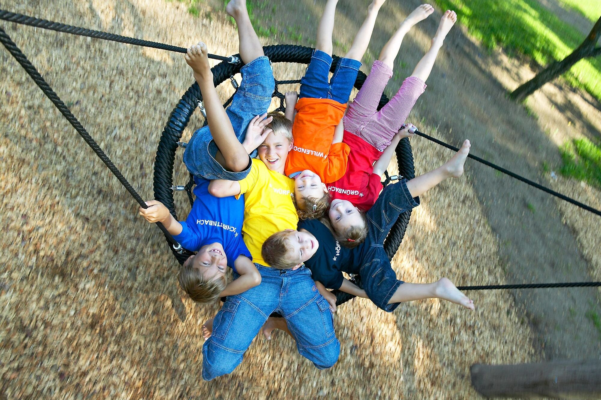
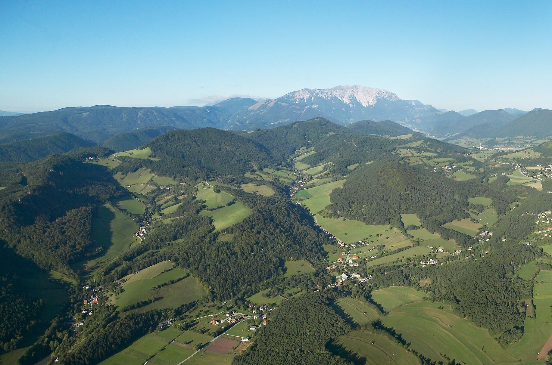
<p>Those seeking <strong>peace</strong>, <strong>relaxation</strong>, and <strong>untouched nature</strong> are right in Schrattenbach. The small municipality with the district Rosental is located near Grünbach am Schneeberg and can also be reached via the Johannesbach Gorge from Würflach. The municipal area includes many <strong>beautiful forests</strong>. Numerous hikes are possible on comfortable paths, such as the Hubertus round. It leads past the <strong>Hubertus Chapel</strong>, which is situated on a romantic forest clearing and is an idyllic place to rest. Along the way, you also pass beautiful viewpoints where you can see over the green meadows and forests and the nearby Hohe Wand. Back down in Schrattenbach, with a bit of luck, you can observe the deer in the large <strong>wildlife enclosure</strong>. There is an opportunity to rest and refresh yourself at the <strong>inn Zum alten Schlossteich</strong>, where there is also a <strong>adventure playground</strong> for children. The Schrattenstein ruin is also easily accessible from here.</p>

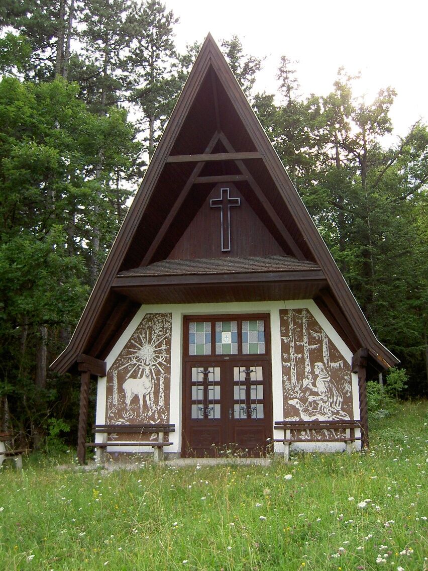

<p>Since it is a circular route, it can be walked in both directions; this description refers to the start towards Rosental:</p><p>At our starting point at the transformer station, we find an information board. We walk along the road past the sports field and over a bridge to Rosental. In the village, we turn left and cross the bridge, then pass the municipal office. A street leads uphill to the left towards Gutenmann. Here we turn in and continue left on the forest path by the wayside shrine. We follow the path to the Hubertus Chapel. From the chapel, we go back a short distance to the path we came from and turn right onto a hiking trail. This leads us downhill back onto the road to the wildlife enclosure. We keep left and pass a playground on the way to the inn Zum alten Schlossteich. From here, it's only a few meters straight ahead to the starting point.</p>
<p>Always take suitable <strong>maps</strong> with you. Put on sturdy <strong>shoes</strong> adapted to the route, take sun and rain protection as well as water and a small snack. Take your <strong>mobile phone</strong> with you and save the mountain rescue emergency number: 140</p>
<p>Your hikes in the Vienna Alps should be a thoroughly beautiful and safe experience. Please therefore note the following:</p><p><strong>Preparation</strong></p><p>Make sure the chosen route matches your experience and your <strong>fitness</strong>. Check the <strong>weather forecast</strong> beforehand. Weather can surprisingly change quickly in the mountains. Therefore always set off adequately equipped (e.g., rain protection).</p><p>Check whether the <strong>huts and snack stations</strong> you want to visit on the way are open. <strong>Inform</strong> someone about your chosen route and planned return before setting off.</p>
<p><strong>From Vienna:</strong> A2 exit Wr. Neustadt West - turn left towards Puchberg/Schneeberg - after about 20 km you will reach Grünbach/Schneeberg - turn left in the center towards Schrattenbach</p><p><strong>From Graz:</strong> S6 exit Neunkirchen - B26 to Neunkirchen – turn left towards Puchberg/Schneeberg and immediately right towards Willendorf/Würflach - after about 15 km you will reach Grünbach/Schneeberg - turn left in the center towards Schrattenbach</p>
<p>Take the regional train from Wr. Neustadt main station towards Puchberg am Schneeberg. Get off at the Grünbach am Schneeberg stop. From there, about a 40-minute walk to the inn Zum alten Schlossteich. There are also buses to Grünbach am Schneeberg and on weekdays also to Schrattenbach.</p><p>Further information at <a href="www.oebb.at">www.oebb.at</... or <a href="www.vor.at">www.vor.at</a&...
Inn Zum alten Schlossteich, www.gasthaus-schlossteich.at
Municipality Schrattenbach, www.schrattenbach.at
Vienna Alps in Lower Austria, www.wieneralpen.at, +43 / 2622 / 78960
Combine your hike with an overnight stay at the Alpen-Aktiv country inn "Zur Schubertlinde"!
Obtenez un aperçu Toujours en direct avec plus de 9.500 webcams. En tant qu'utilisateur Pro, vous pouvez désormais voir les webcams correspondantes à de nombreuses randonnées dans l'application de randonnées de bergfex. Vous pouvez ainsi voir directement les conditions actuelles.Parcours populaires à proximité
- 4,7
Zahnradbahn und Wandern am Schneeberg - Plateauwanderung
moyenRandonnée 6,90 km - 4,8
Promenade culturelle Payerbach-Reichenau
facileRandonnée 7,43 km - 5,0
Insider tip: Schneeberg via the Novembergrat
difficileRandonnée 13,5 km - 4,9
"Über den höchsten Nieder-Ösi" - Schneeberg - Weichtalklamm - Klosterwappen - Stadlwandleiten
moyenRandonnée 17,7 km - 4,9
SCHNEEBERG Losenheim Nandlgrat Klosterwappen Fadenweg 28.09.2017
difficileRandonnée 15 km - 4,9
Flatzer Wand Wanderung
facileRandonnée 5,62 km - 4,8
ÖTK Klettersteig (vormals HTL Klettersteig) und Blutspur (D/E)
difficileVia ferrata 1,41 km - 4,8
Gelände vom Grünbacher Sattel
moyenRandonnée 7,52 km - 4,8
Schober- Öhler
moyenRandonnée 12,2 km - 4,8
"Krummbachstein 1602m" - Eng - Payerbach - Rundwanderweg
moyenRandonnée 24,8 km
Randonnée et suivi


Ne manquez pas les offres et l'inspiration pour vos prochaines vacances
Votre adresse électronique a été ajouté à la liste de diffusion.





