







Hochegger Panoramic Route
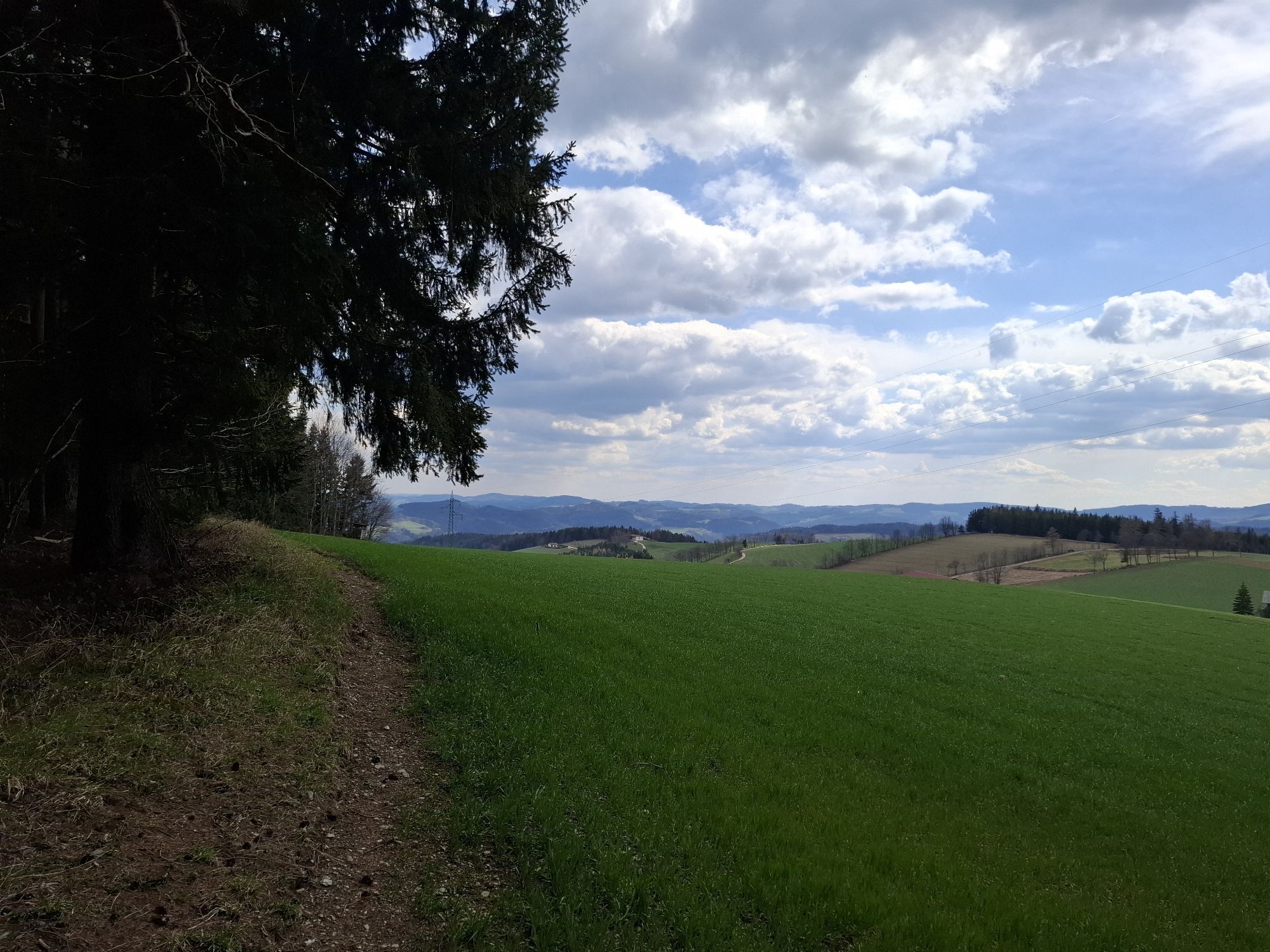
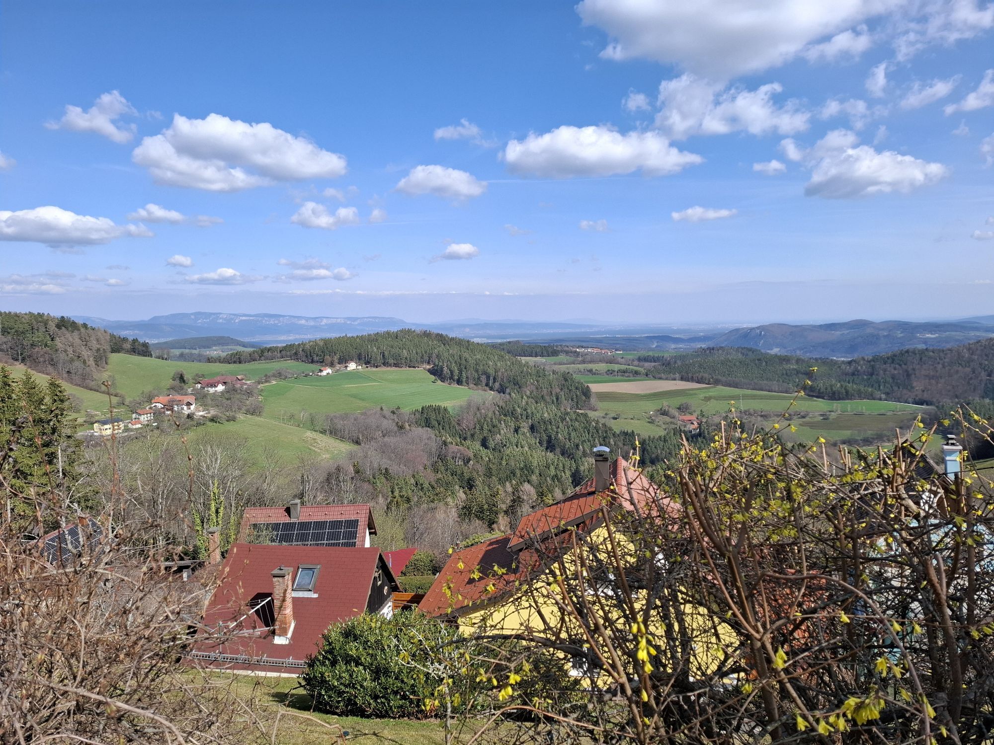
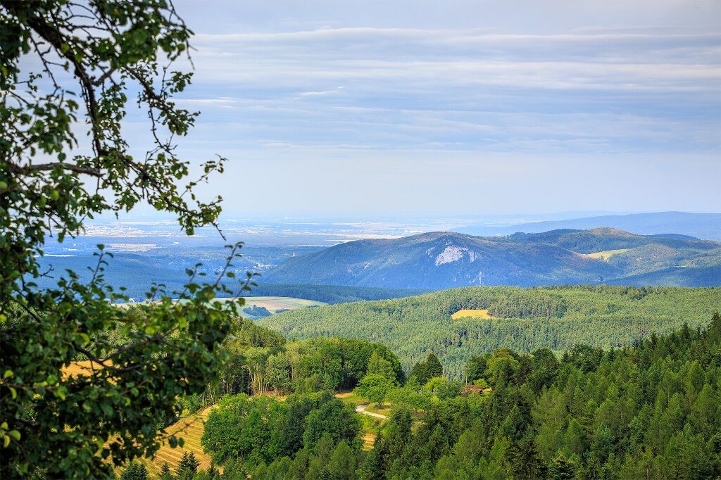
The circular hiking trail leads away from the village square in Hochegg, along Himberger Street to the viewpoint with views over the Vienna Basin, the Pittental, and the Türkensturz. Follow the path to...
<p>The circular hiking trail leads away from the village square in Hochegg, along Himberger Street to the viewpoint with views over the Vienna Basin, the Pittental, and the Türkensturz. Follow the path to the transmitter before the Hollabrunner Riegel, then return to the starting point.</p>


<p>Trail Markings H2</p><p>The route starts from the village square onto Himberger Street. From there, it goes to the viewpoint, then left towards the forest until the water reservoir. At the water reservoir, keep left and pass the transmitter to the rest area. Then go left downhill to Hollabrunner Street, follow the asphalt road on the left to the transformer. Afterwards, continue along Larchweg, past the state hospital, and back to the village square via Hochegger Street.</p>
<p>Always take suitable <strong>maps</strong> with you. Wear sturdy <strong>shoes</strong> adapted to the route, bring sun and rain protection as well as water and a small snack. Take your <strong>mobile phone</strong> with you and save the mountain rescue emergency number: 140</p>
<p>Your hikes in the Vienna Alps should be a pleasantly safe experience. Please take note of the following:</p><p><strong>Preparation</strong></p><p>Make sure when choosing the route that it matches your mountain experience and fitness. Check the weather report in advance. The weather can change surprisingly quickly in the mountains. Therefore, always be properly equipped when setting out (e.g. rain protection).</p><p>Check whether the huts and snack stations you want to visit are open. Inform someone about your chosen route and planned return before you set off.</p><p>You can find more safety tips for your hike <a href="www.wieneralpen.at/sicherheit-am-berg...
<p>Exit the South Motorway A2 at the Grimmenstein junction, then turn left onto Wechselbundesstraße, pass the town of Grimmenstein, and before the intersection towards Aspang turn right to Hochegg.</p>
<p>Find more information at <a href="www.oebb.at">www.oebb.at</... and <a href="www.vor.at">www.vor.at</a&...
<p>There is a large parking lot at the entrance to Hochegg, also opposite the former Gasthof zur Linde.</p>
Vienna Alps in Lower Austria, www.wieneralpen.at, +43 / 2622 / 78960
Opening hours: Mon - Thu 08:30 - 16:00 / Fri 08:30 - 13:00
Can be extended via the connecting path H2a (Riegelweg) with the Hochegger circular hiking trail to the Hollabrunner Riegel.
Parcours populaires à proximité
- 4,8
Hochwechsel-Runde, Waldbach-Mönichwald
moyenTrail running 17,9 km - 3,7
Schwaigen Rundwanderung
facileRandonnée 8,24 km - 3,8
St. Corona - Kampstein
moyenRandonnée 10,7 km - 4,6
Mariensee - Wildwasserweg - Marienseer Schwaig
facileRandonnée 8 km - 4,6
Bucklige Welt: Auf dem Pittentaler Klettersteig zum Türkensturz
moyenVia ferrata 1,96 km - 4,5
Hochwechsel
moyenRandonnée 14,3 km - 4,7
Hochwechsel - Tour
Randonnée 18,5 km - 4,5
Schanzkapelle - Kleiner Otter - Mitterotter - Großer Otter - Kummerbauerstadl - von Göstritz Göstritz, Niederösterreich
moyenRandonnée 11,6 km - 4,3
Türkensturz Rundwanderung
moyenRandonnée 2,56 km - 5,0
Seebenstein - Türkensturz - Burg Seebenstein
facileRandonnée 7,50 km
Randonnée et suivi


Ne manquez pas les offres et l'inspiration pour vos prochaines vacances
Votre adresse électronique a été ajouté à la liste de diffusion.





