


Himberg-Gutenmann-Edenhof-Puchberg
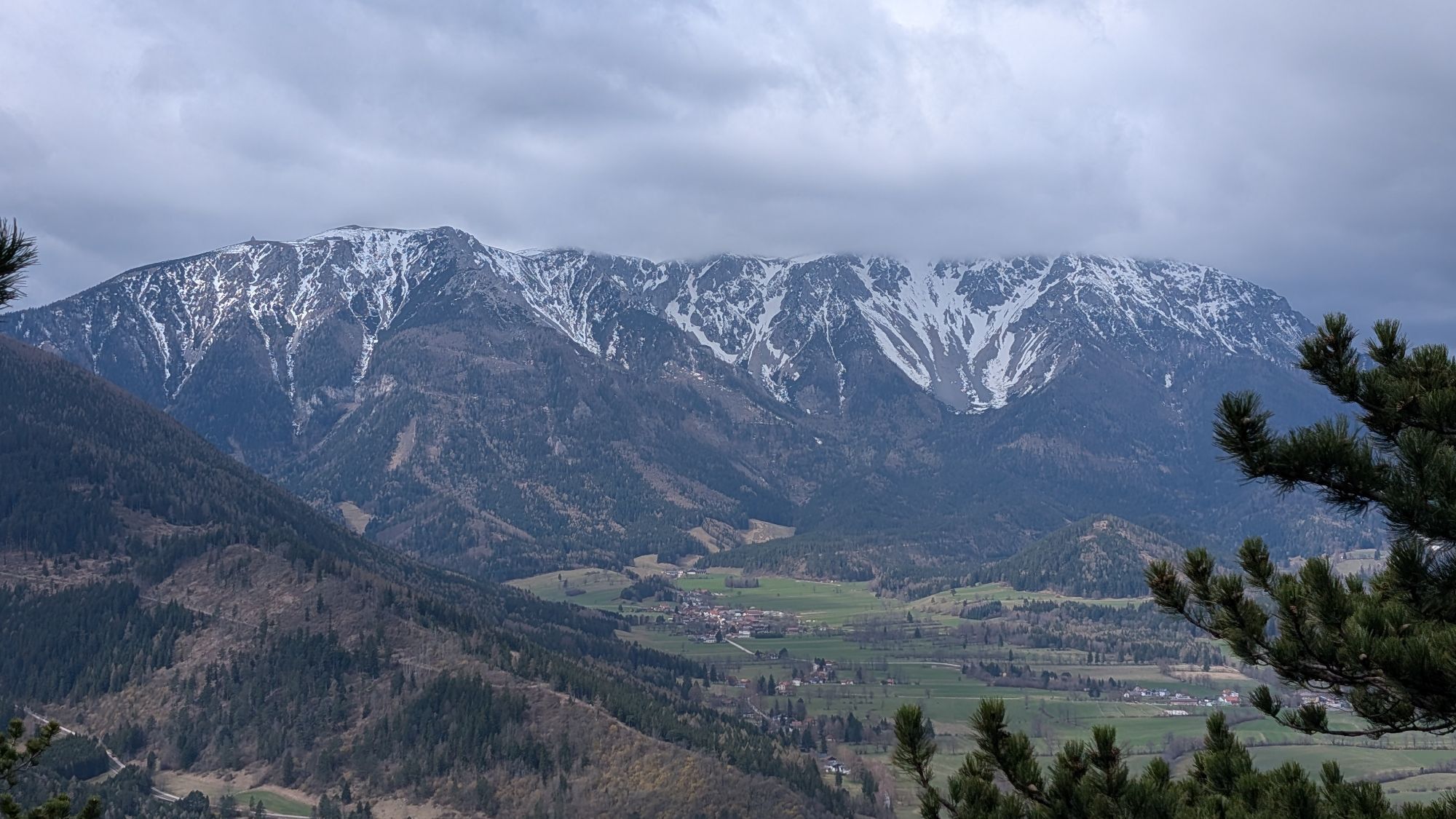
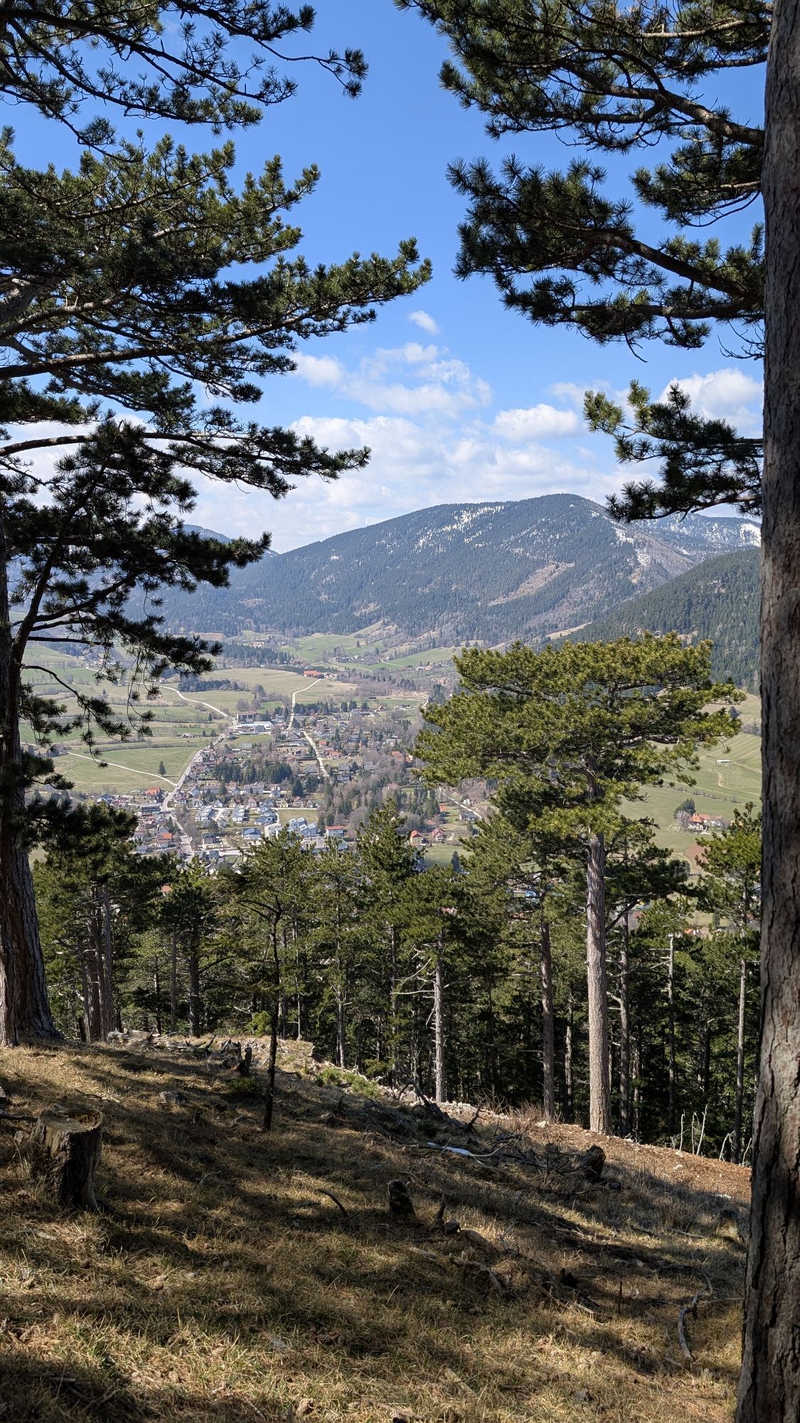
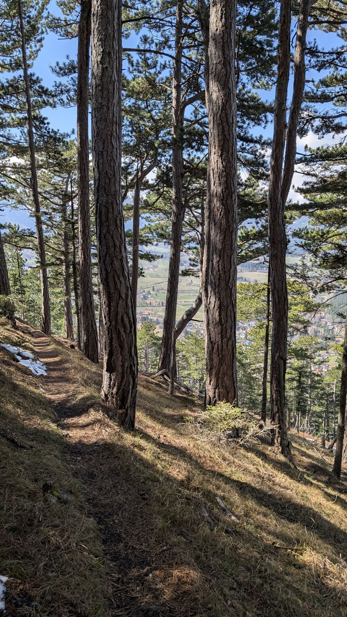
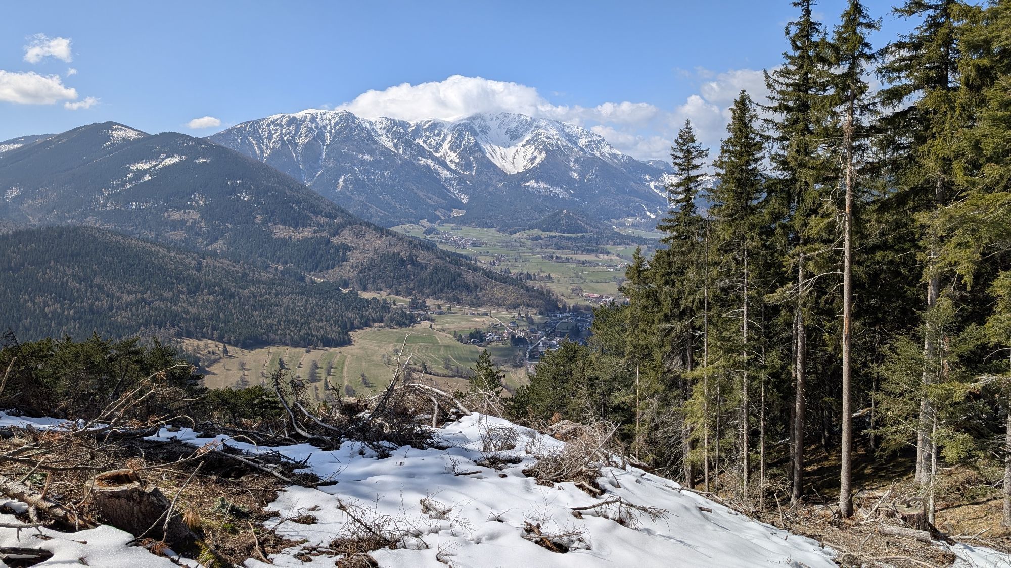
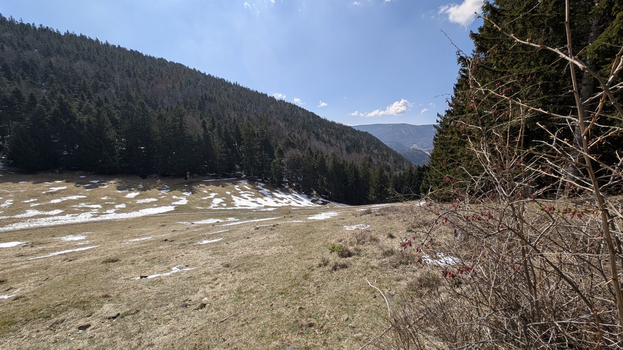
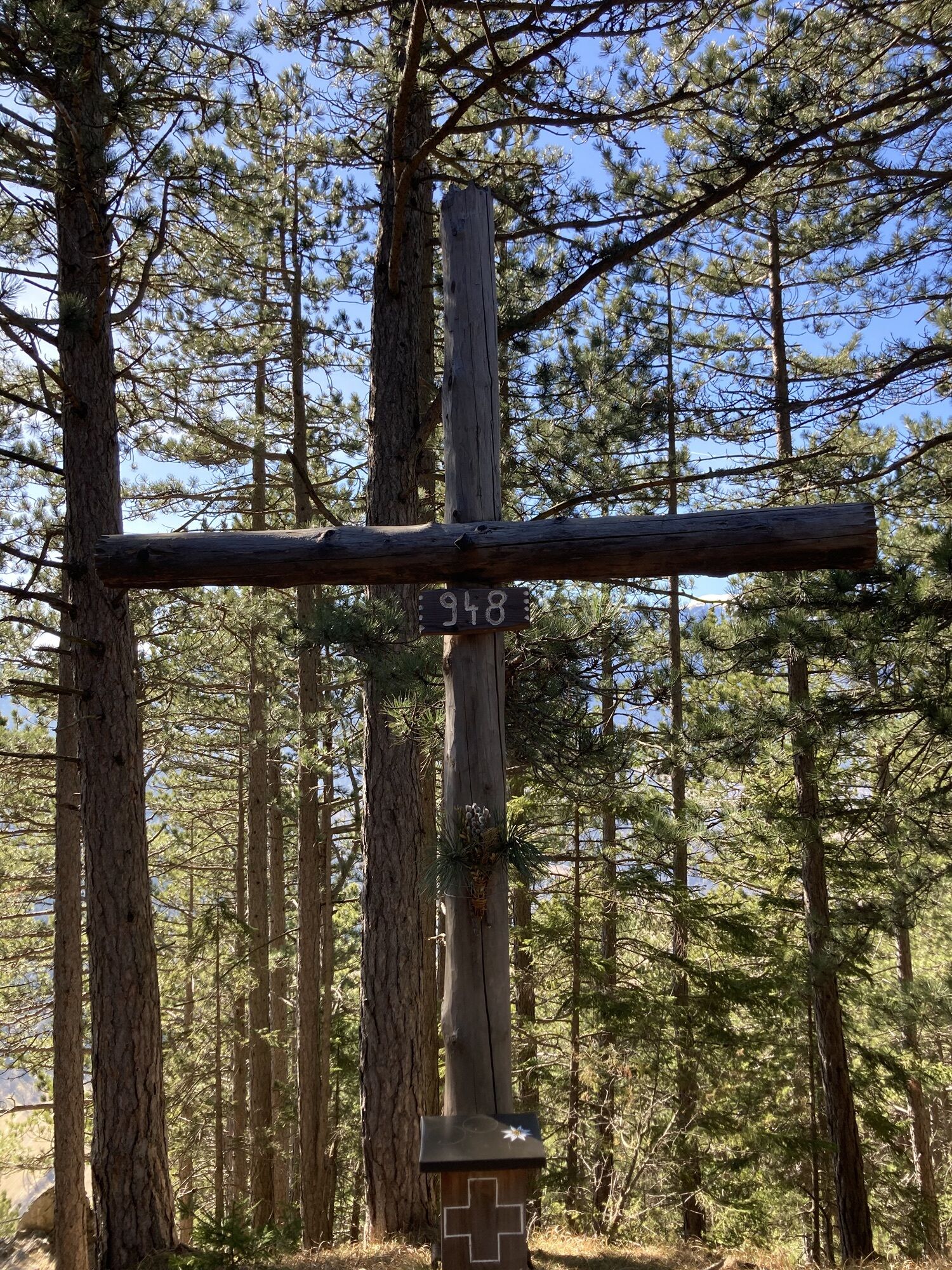
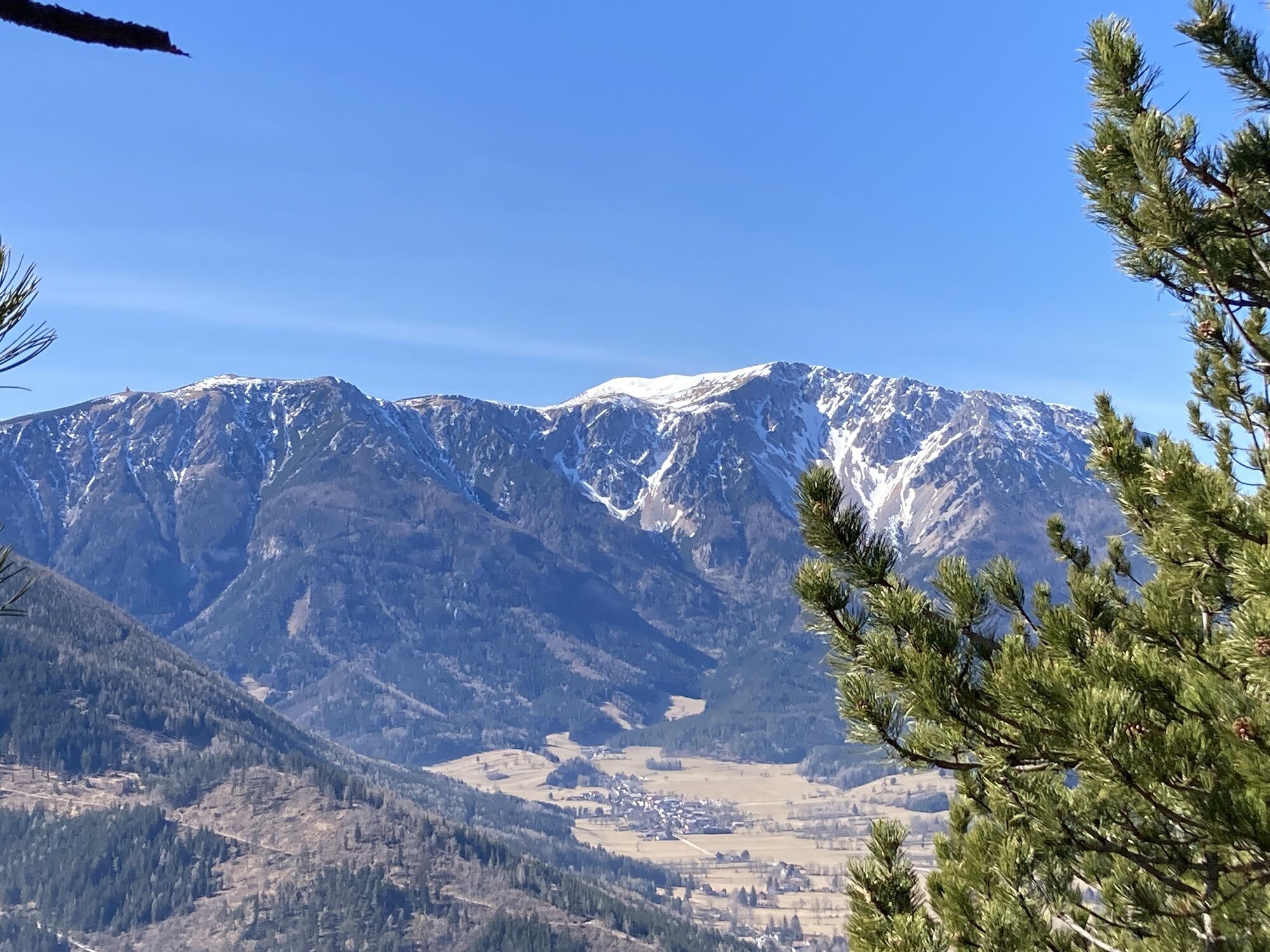
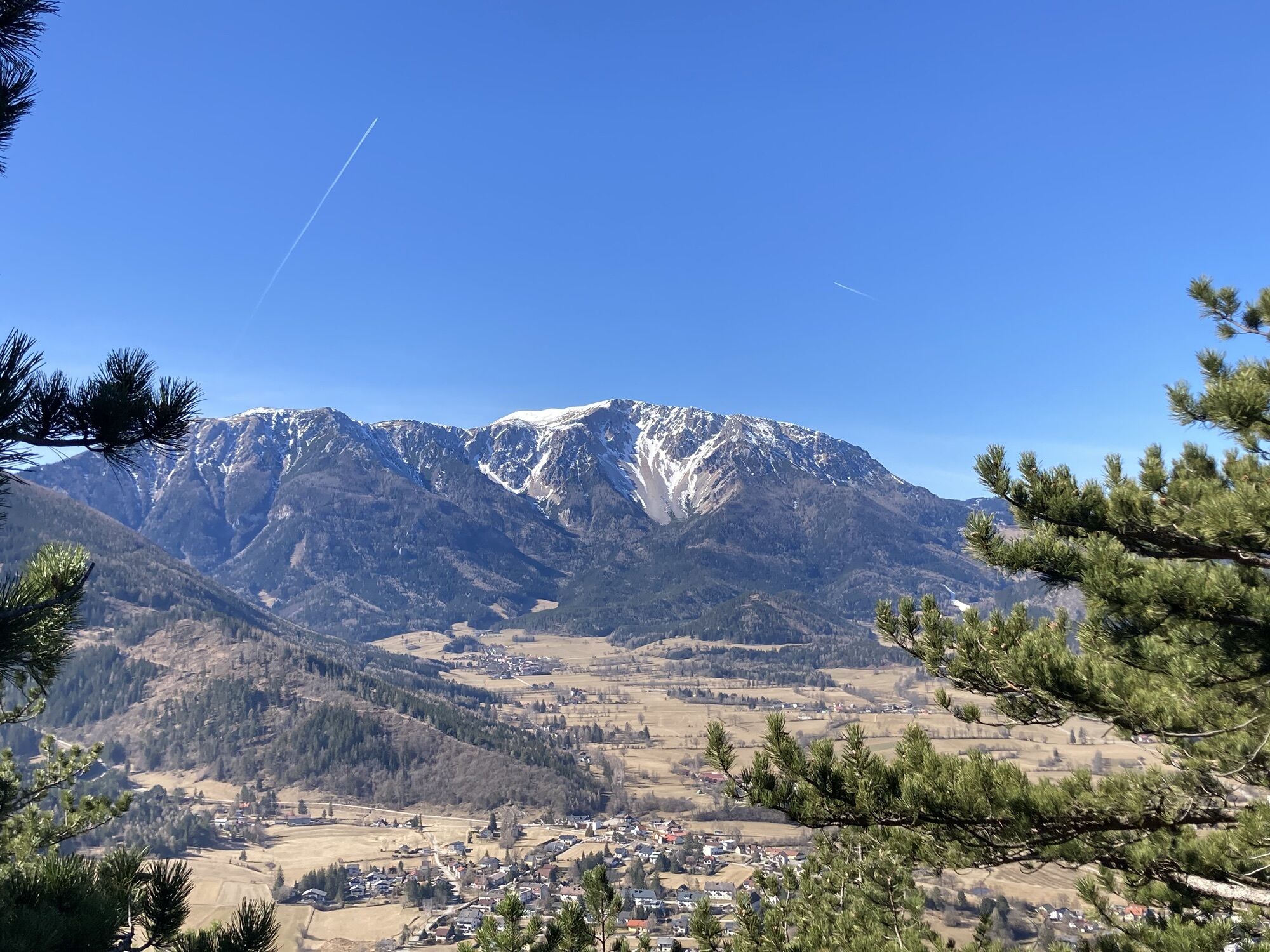
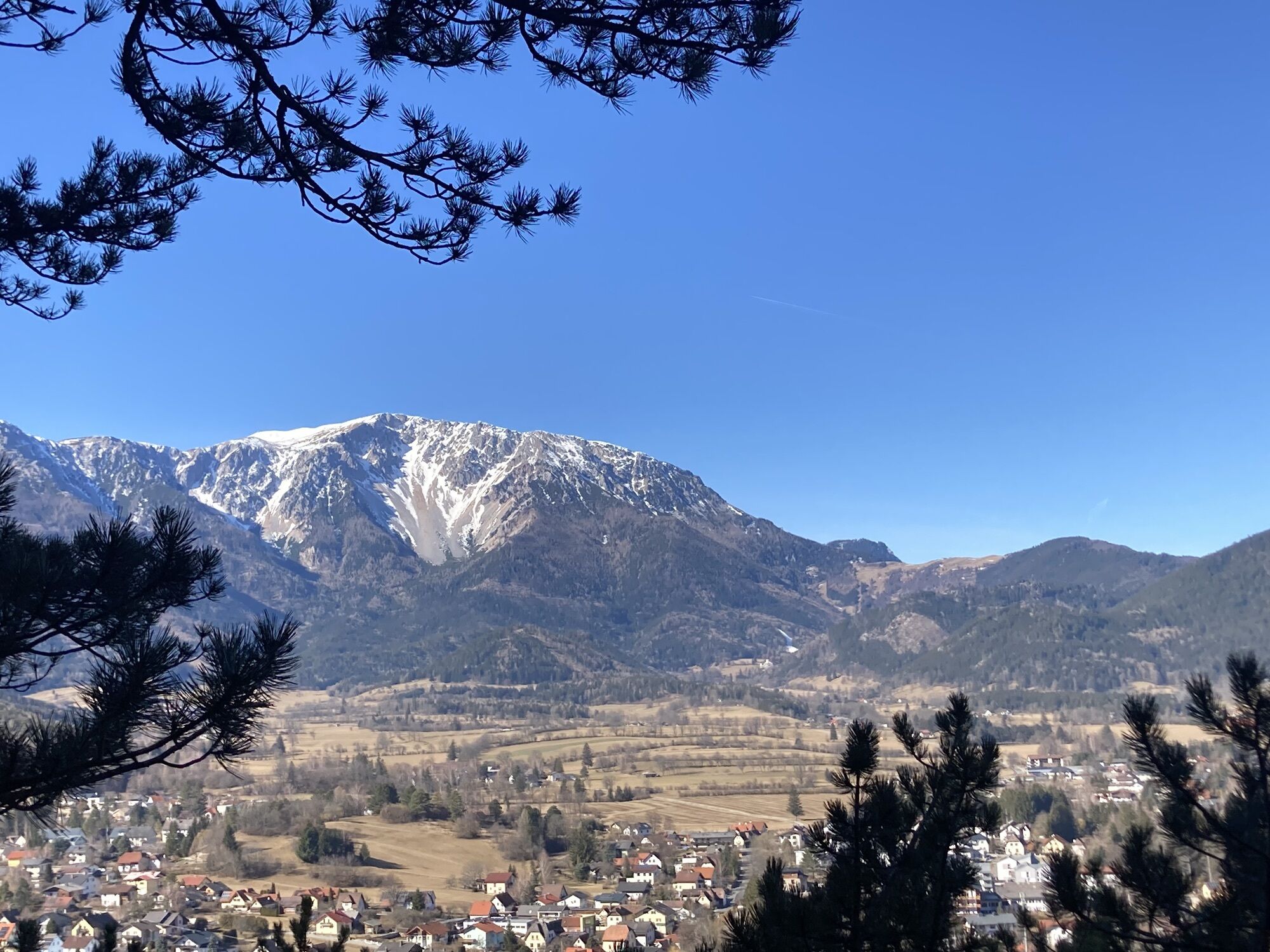
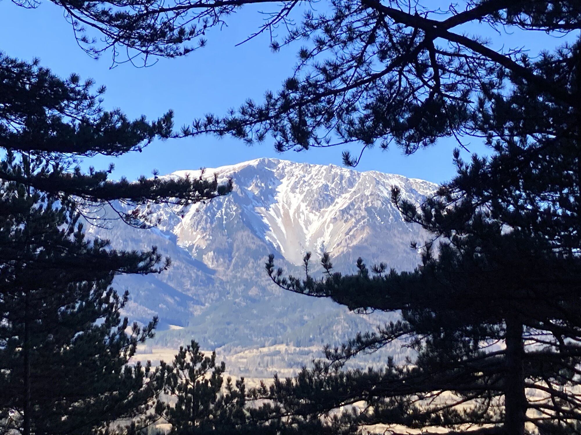
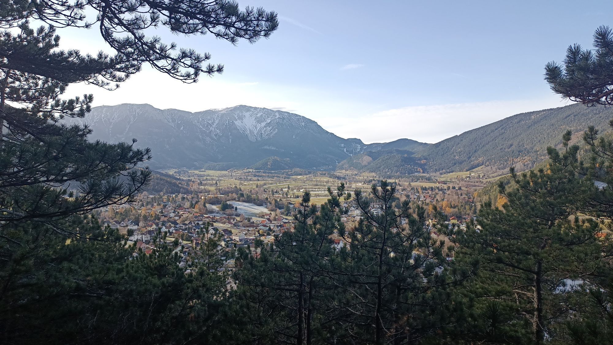
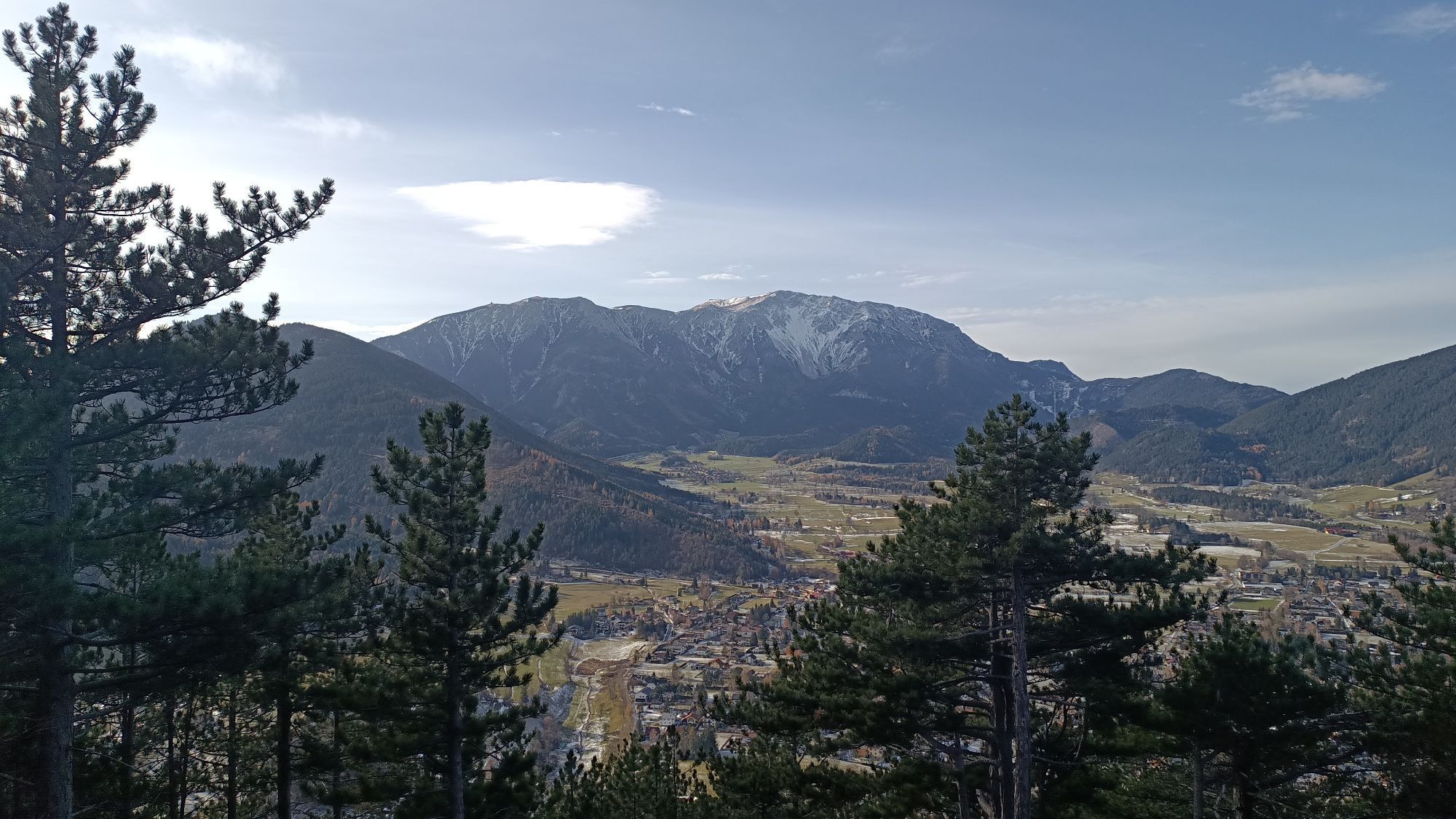
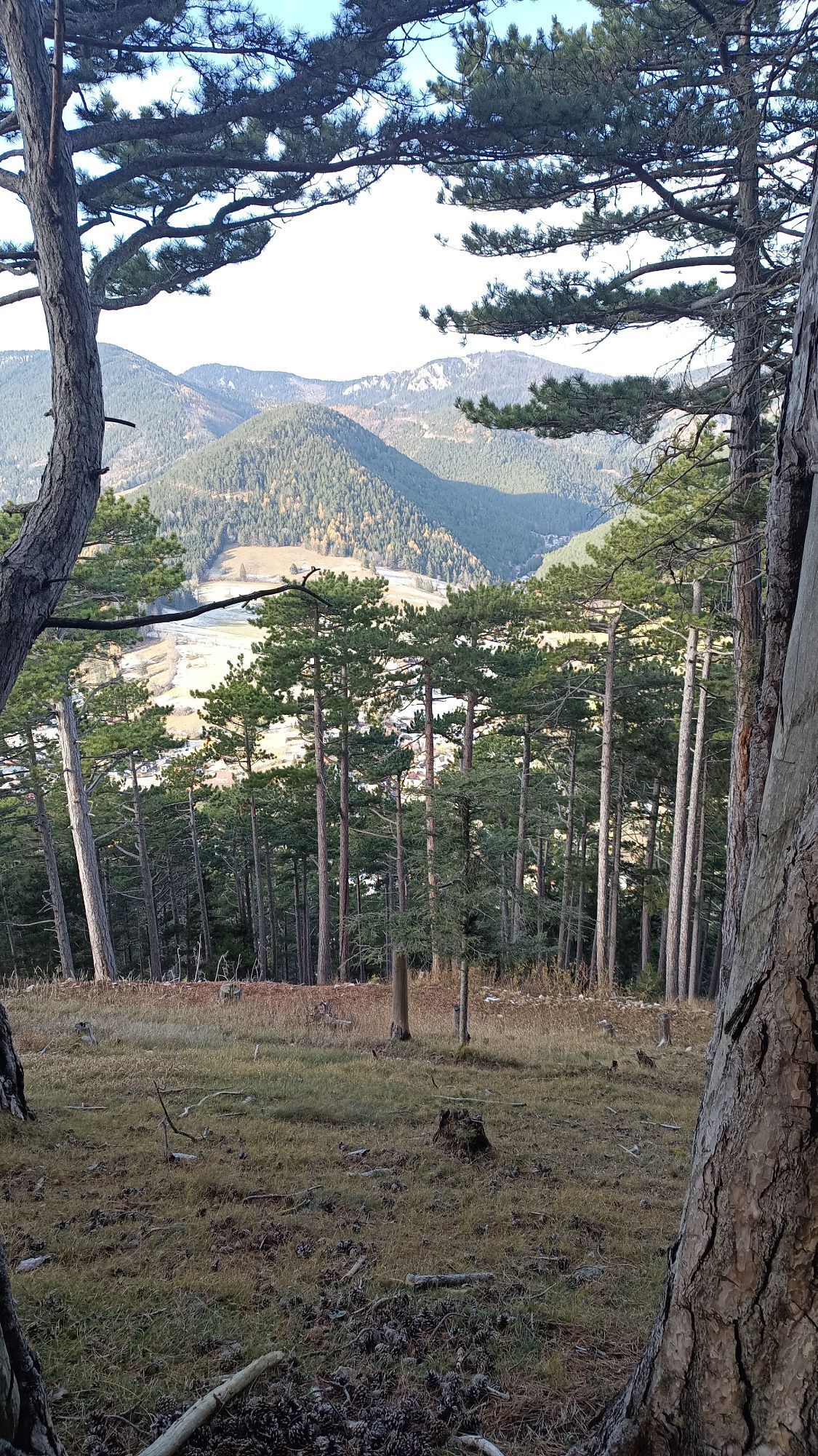
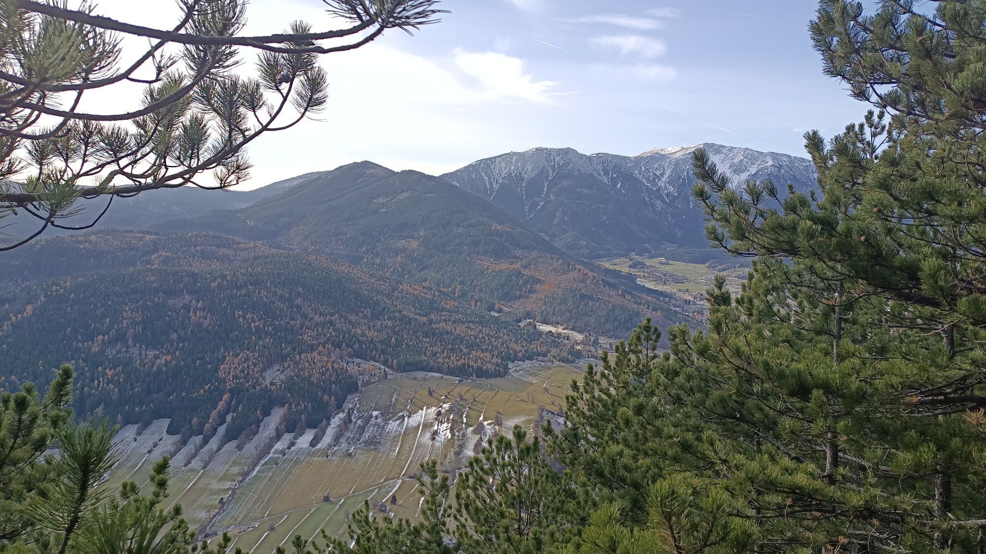
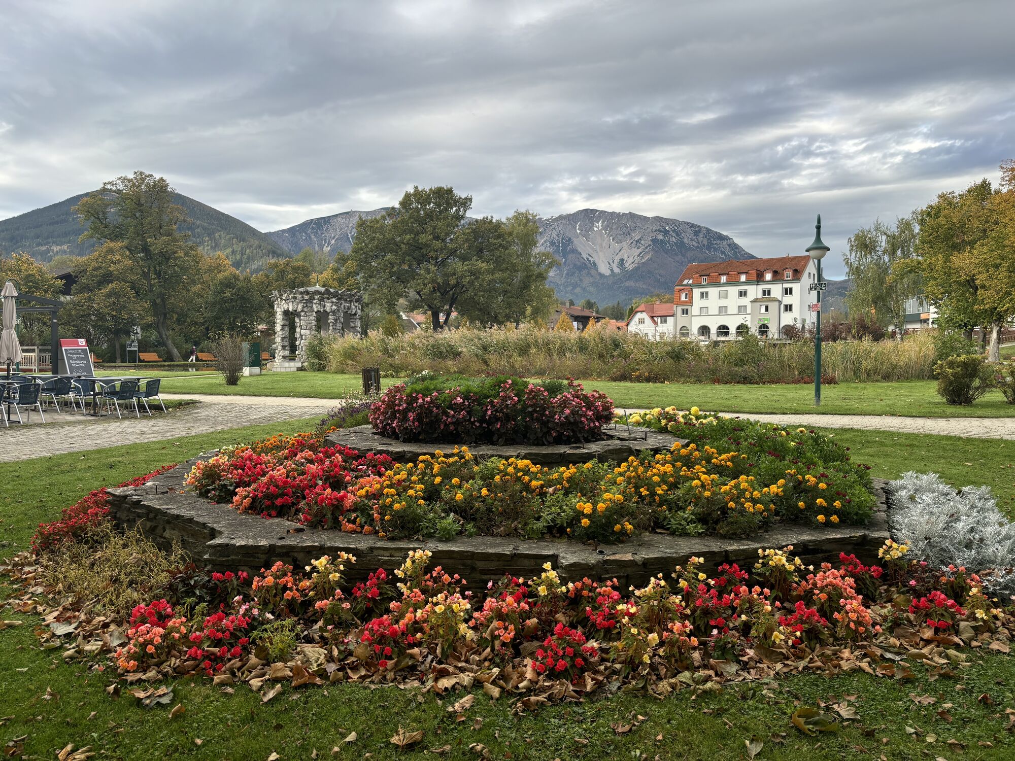
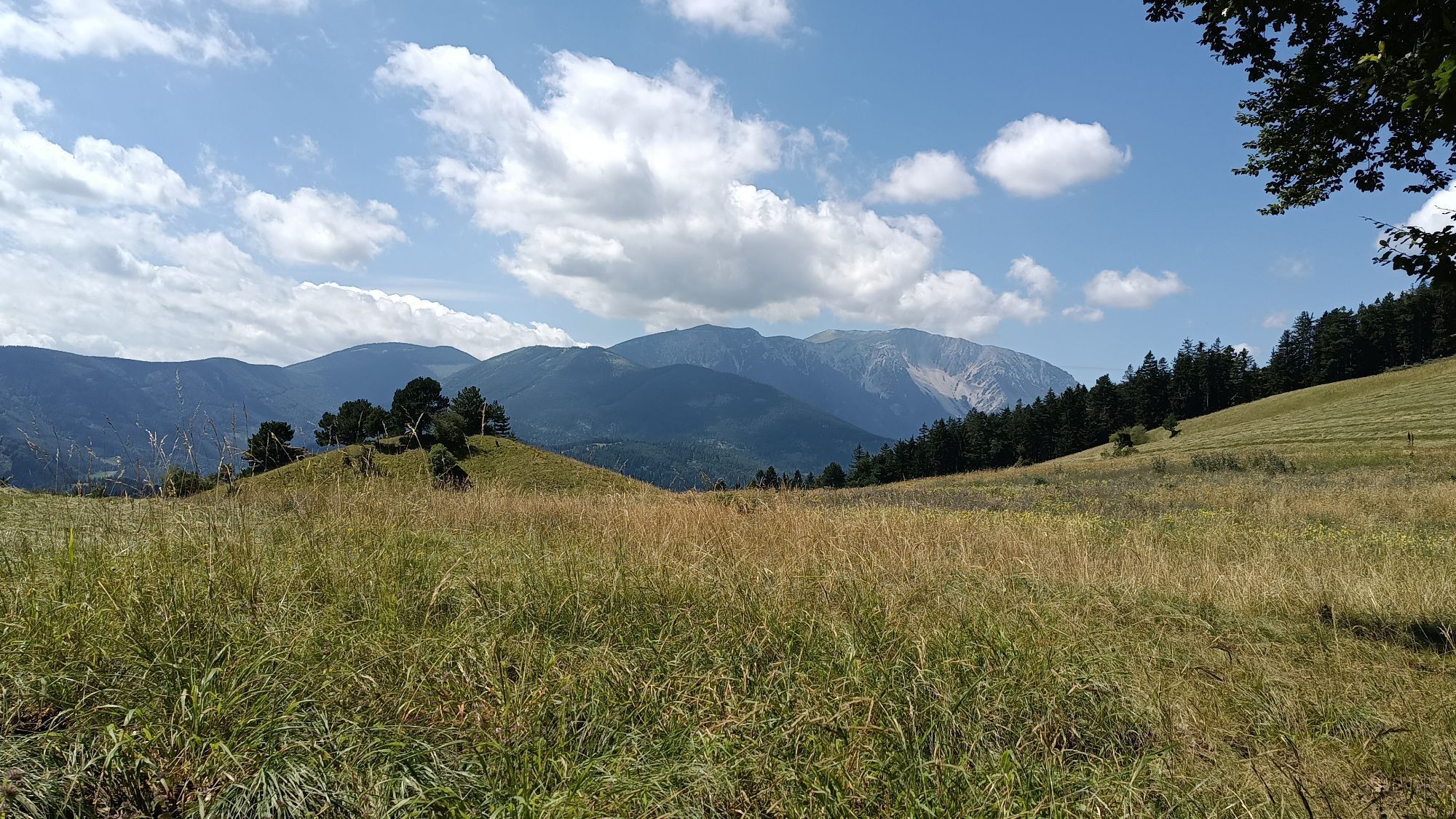
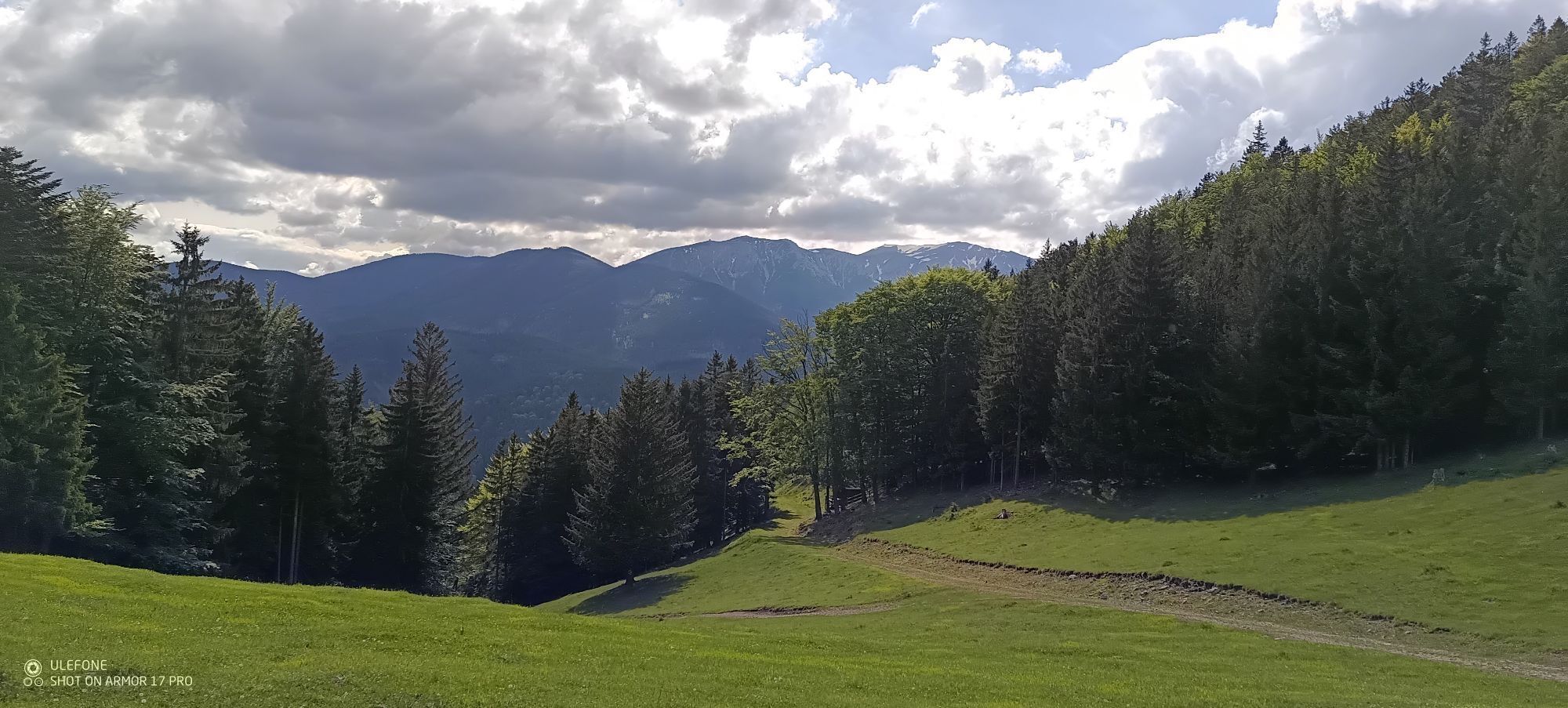
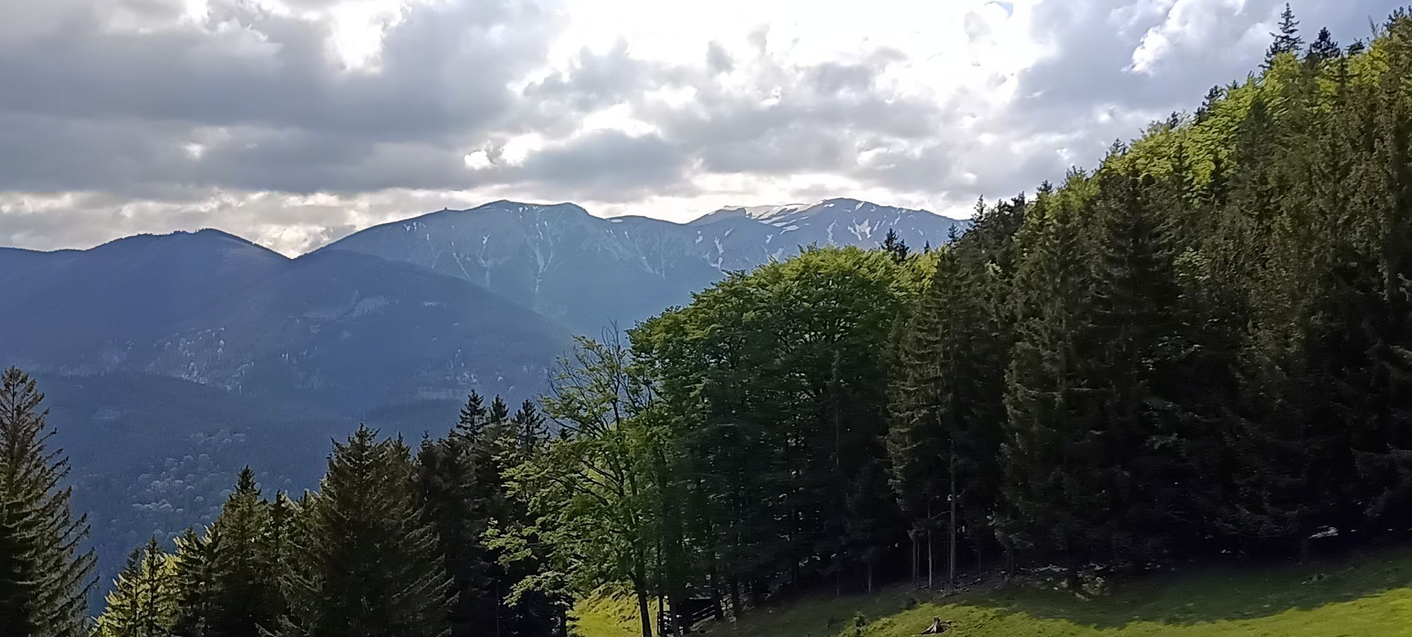
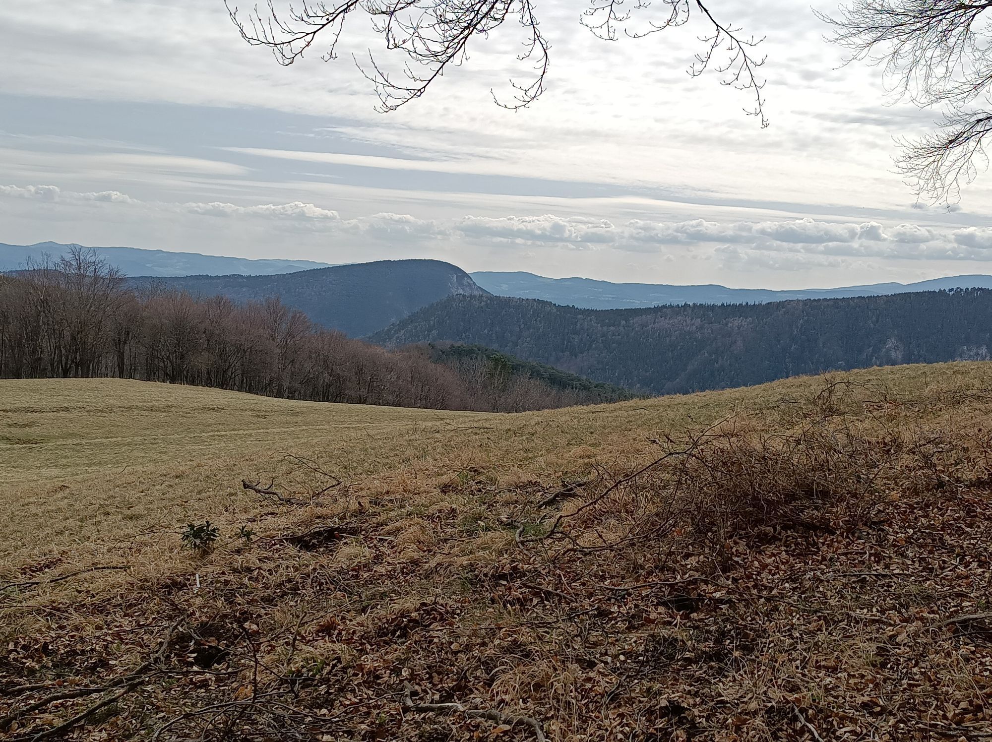
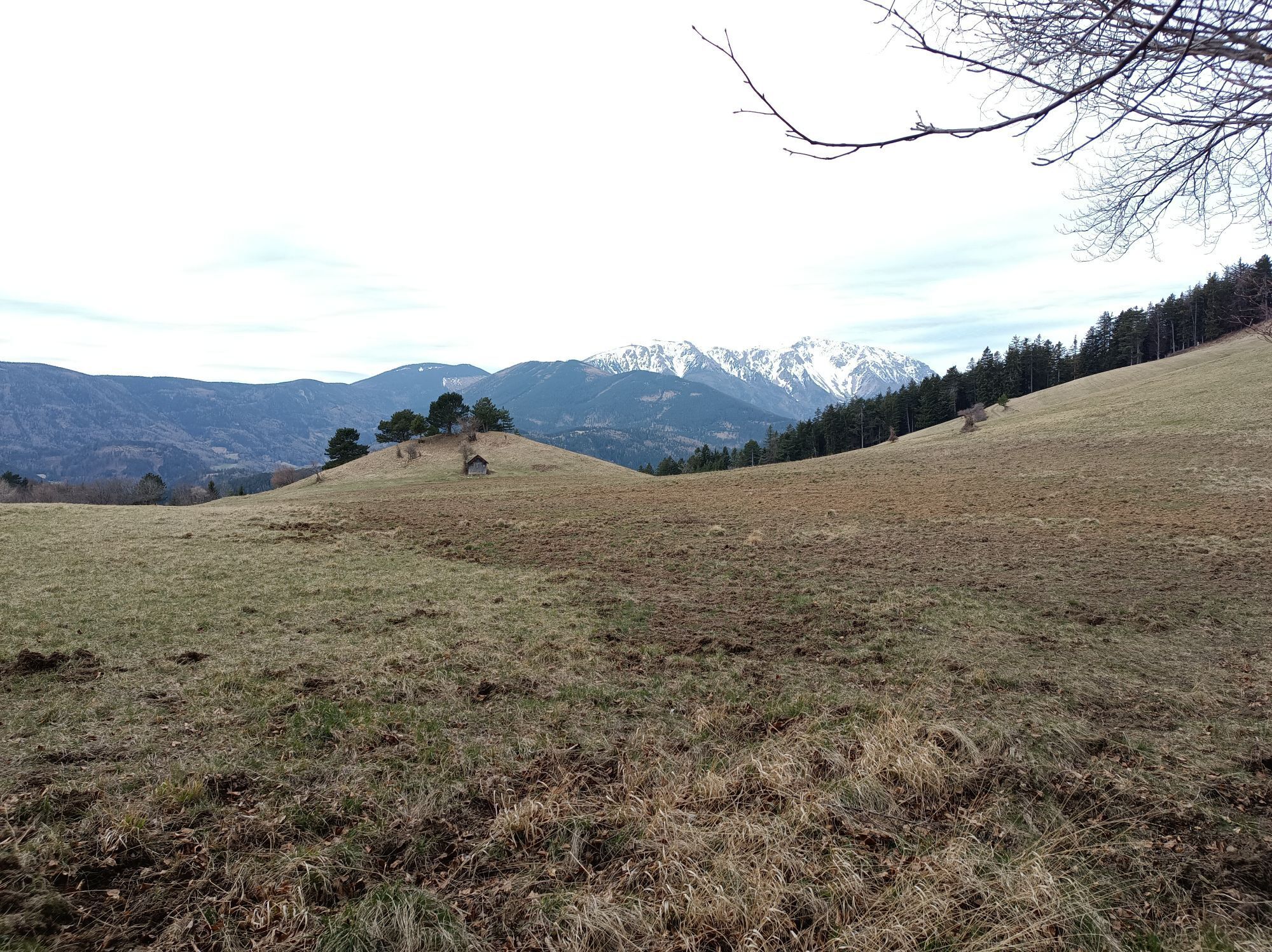


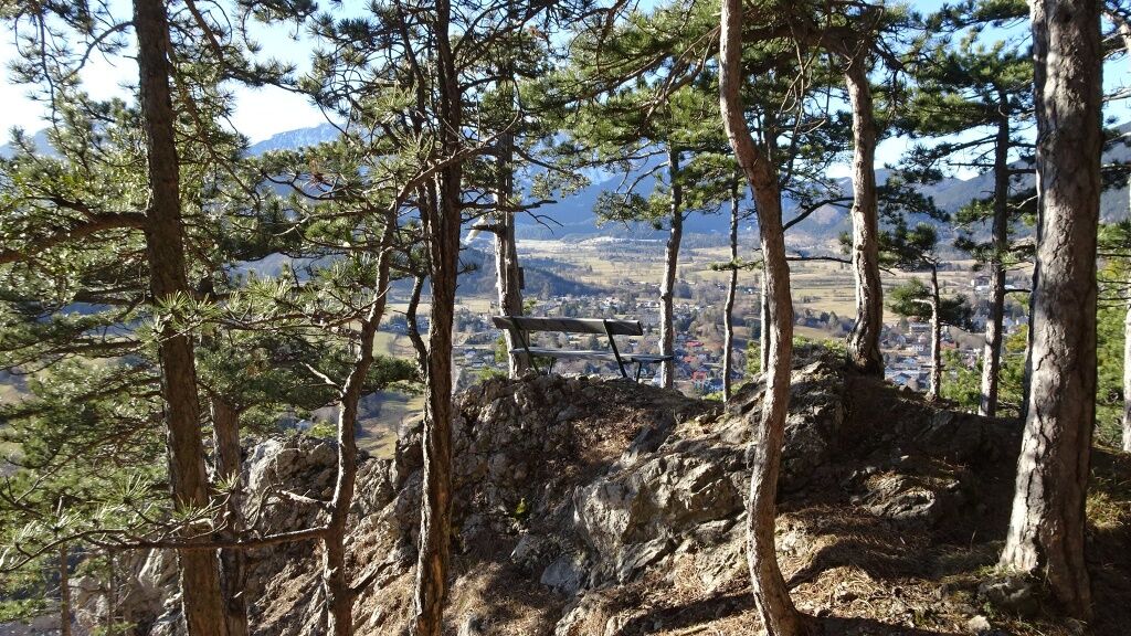
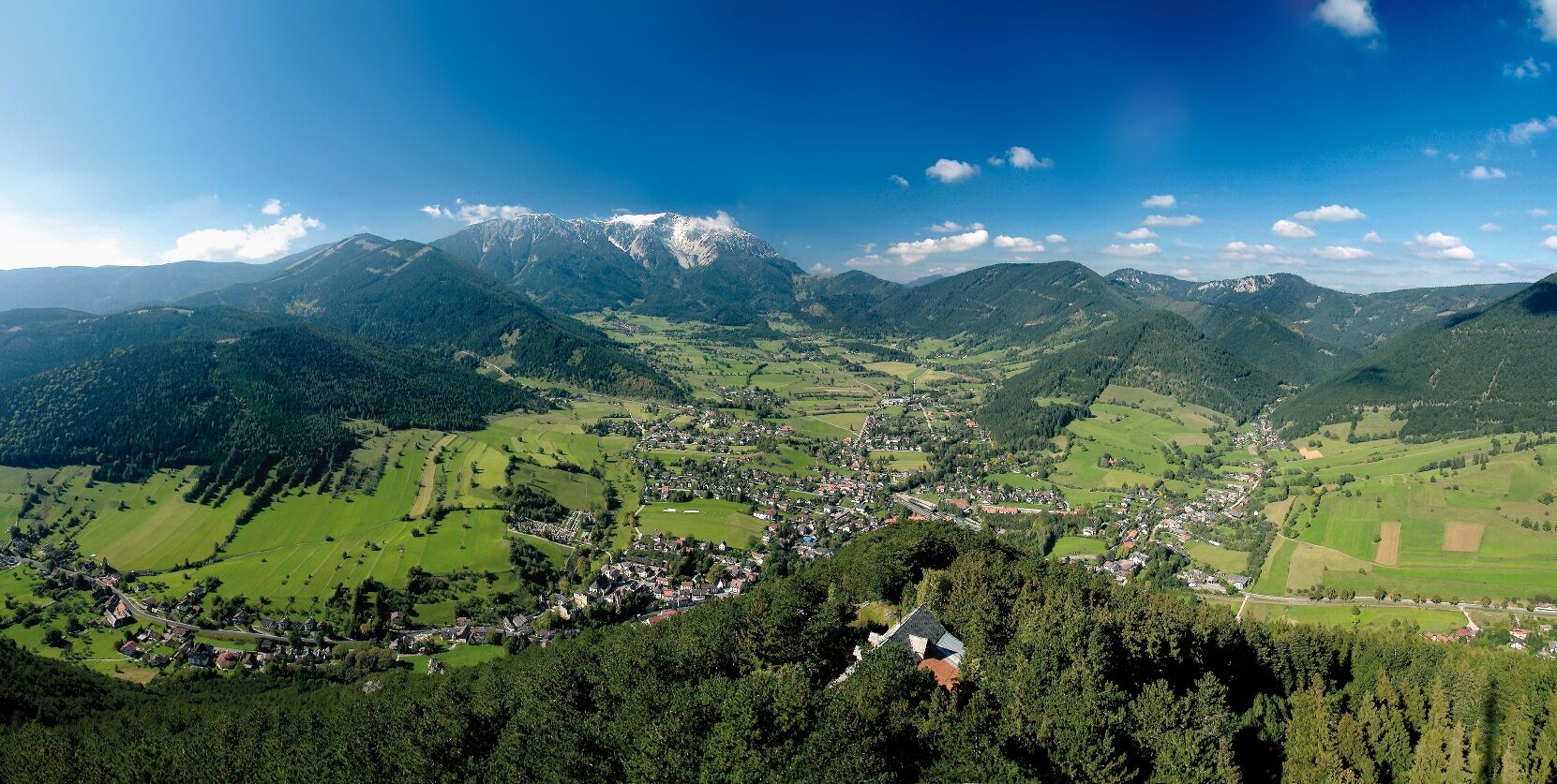
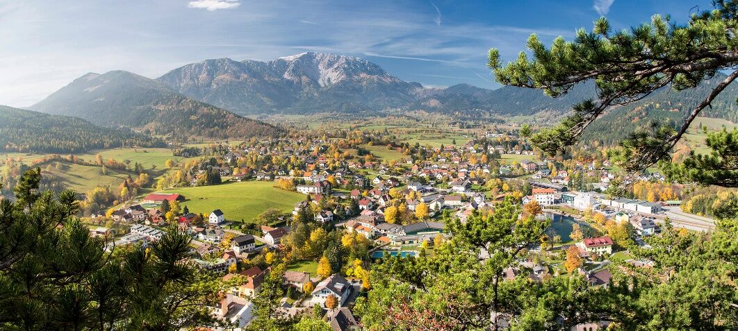
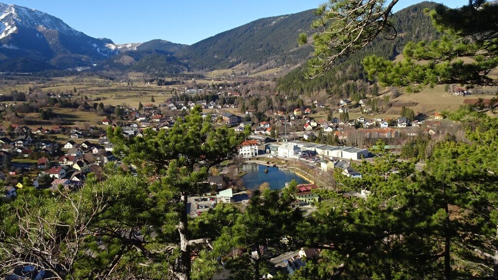
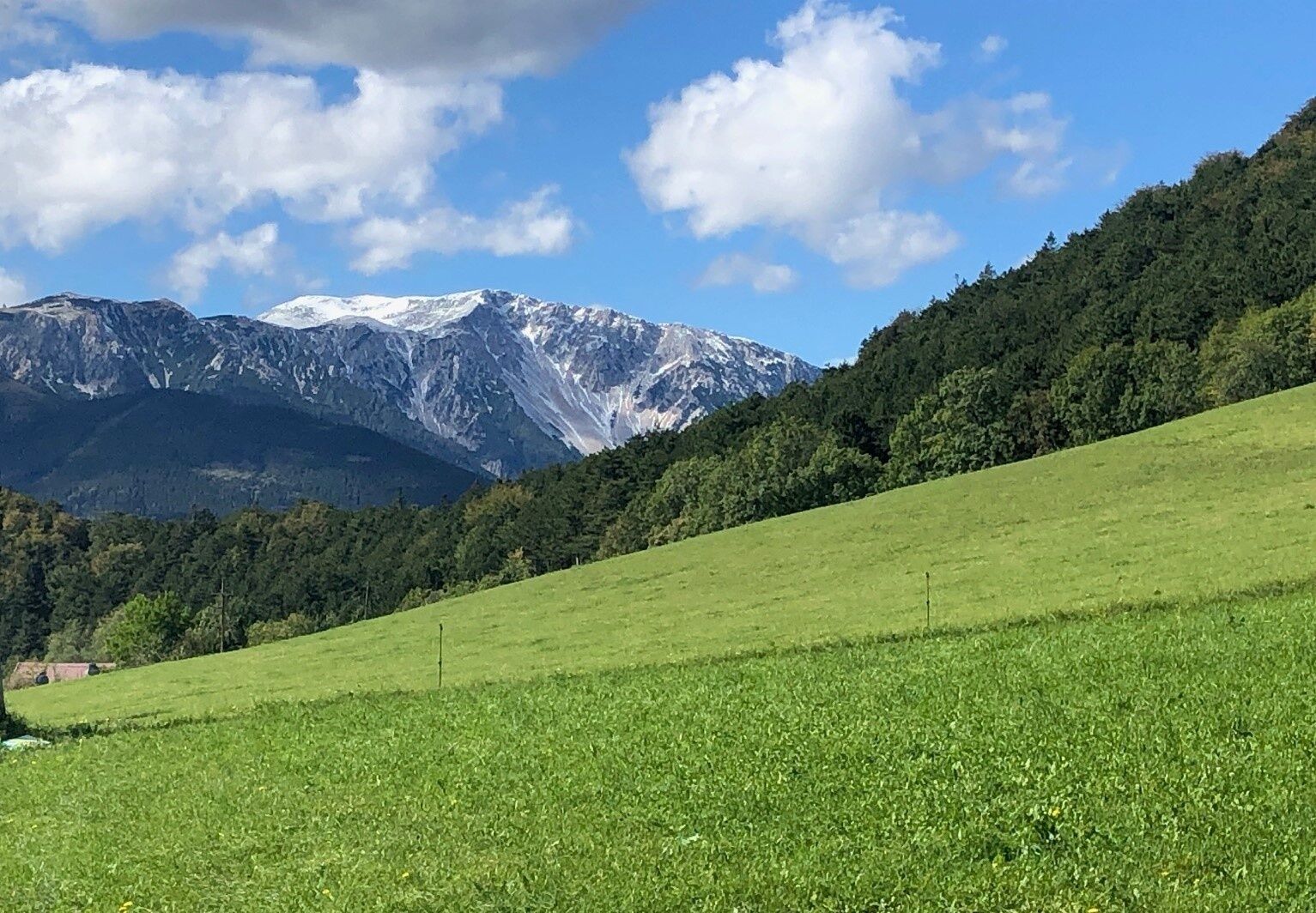
The Himberg-Gutenmann-Edenhof-Puchberg am Schneeberg route is a beautiful hiking route over the Himberg, with a wonderful view of the Schneeberg and the valley basin of Puchberg. This hiking route extends...
<p>The Himberg-Gutenmann-Edenhof-Puchberg am Schneeberg route is a beautiful hiking route over the Himberg, with a wonderful view of the Schneeberg and the valley basin of Puchberg. This hiking route extends over 4h 30min of pure walking time and runs over paths, natural trails, gravel roads, asphalt and road.</p><p>Please note the information on altitude meters, distance and walking time when planning your hike, so that the route remains a pleasant experience for the whole family. </p><p>Please note the information on altitude meters, distance and walking time when planning your hike, so that the route remains a pleasant experience for the whole family. </p>

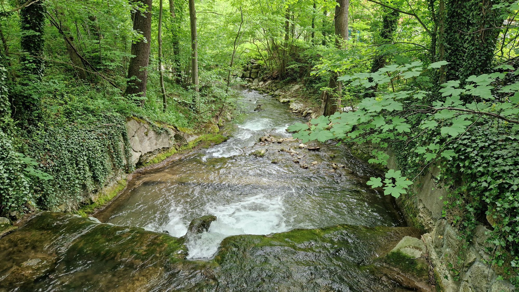
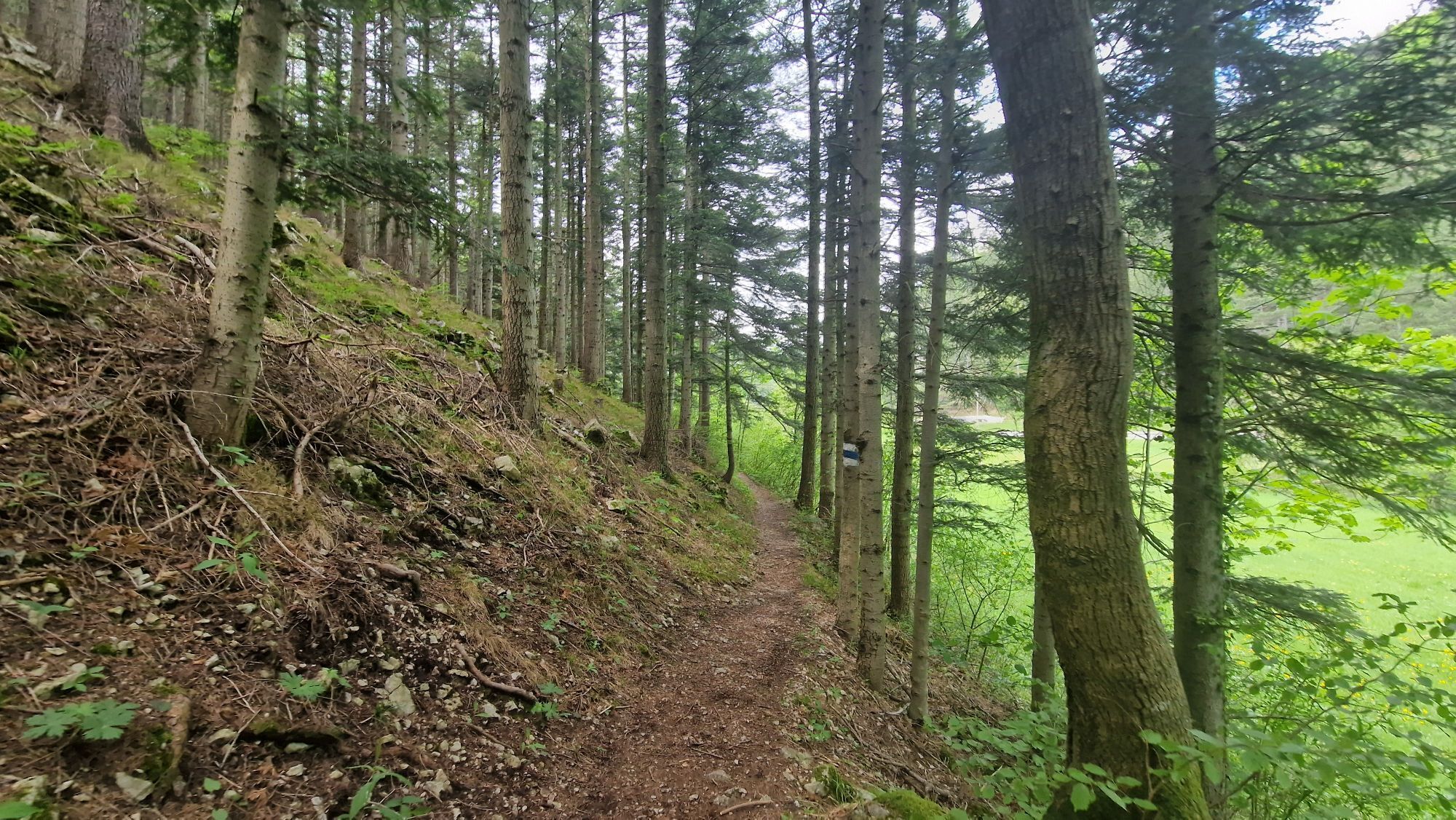
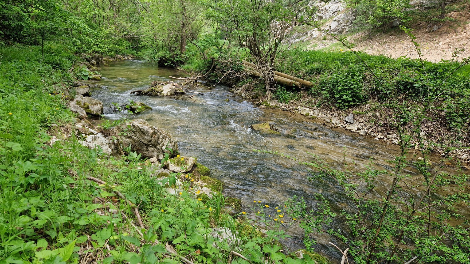
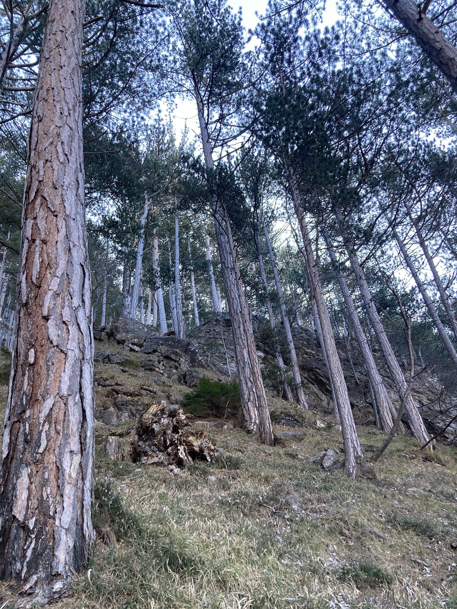
<p>You start at the <strong>old locomotive</strong> in Puchberg am Schneeberg and from here follow the yellow marking up to the Himberg. Once at the summit, first follow the blue marking towards Reitzenberg, then green and red to Gutenmann. At the intersection, turn right and follow the green marking until you reach the main road. Follow the main road about 500 meters to the right to the intersection to Rohrbach, from here continue along the blue marking (Ziererweg), from the Dirtl farm following the red marking to the town center.</p>
<p>Sturdy footwear, durable clothing, plenty of drinks and some food.</p>
<p><strong>Arrival from the direction of Vienna:</strong></p><p>Take the South Motorway A2 towards Wiener Neustadt to the exit Wr. Neustadt West. From there along federal road B26 towards Puchberg am Schneeberg. The route is well signposted.</p><p><strong>Arrival from the direction of Graz:</strong></p><p>Take the South Motorway A2 towards Vienna to the exit Neunkirchen West. From there towards Ternitz and along federal road B26 towards Puchberg am Schneeberg.</p>
<p>By train to Wiener Neustadt. Then change to the regional train to Puchberg am Schneeberg and get off at the last stop. Take the Schneebergbahn up to the Schneeberg.</p><p>Direct excursion train on weekends: departure at 8:41 am from Vienna main station, return at 4:36 pm from Puchberg station.</p><p>By bus from Neunkirchen, Ternitz (line 350) and Pernitz (line 330) to Puchberg am Schneeberg station.</p><p>Further information can be found at <a href="www.oebb.at/">www.oebb.at<... <a href="www.vor.at/">www.vor.at</a... and <a href="www.schneebergbahn.at/">www.s...
<p>You have parking available at the old locomotive in Puchberg am Schneeberg.</p>
Verantwortlicher für den Inhalt dieser Tour
Wiener Alpen in Niederösterreich - Schneeberg Hohe Wand
Letzte Aktualisierung: 30.10.2025
Parcours populaires à proximité
-
4,6
Losenheim: Edelweißhütte - Fadensteig - Fischerhütte
moyenRandonnée 11,5 km -
4,7
Zahnradbahn und Wandern am Schneeberg - Plateauwanderung
moyenRandonnée 6,90 km -
4,8
Promenade culturelle Payerbach-Reichenau
facileRandonnée 7,43 km -
5,0
"Weichtalklamm" über Stock und Stein durch das Höllental - Weichtalhaus - Kientallerhütte 1340m
moyenRandonnée 14,0 km -
4,9
Insider tip: Schneeberg via the Novembergrat
difficileRandonnée 13,5 km -
4,9
SCHNEEBERG Losenheim Nandlgrat Klosterwappen Fadenweg 28.09.2017
difficileRandonnée 15 km -
4,8
Flatzer Wand Wanderung
facileRandonnée 5,62 km -
4,8
"Krummbachstein 1602m" - Eng - Payerbach - Rundwanderweg
moyenRandonnée 24,8 km -
4,8
ÖTK Klettersteig (vormals HTL Klettersteig) und Blutspur (D/E)
difficileVia ferrata 1,41 km -
4,9
"Über den höchsten Nieder-Ösi" - Schneeberg - Weichtalklamm - Klosterwappen - Stadlwandleiten
moyenRandonnée 17,7 km
Randonnée et suivi


Ne manquez pas les offres et l'inspiration pour vos prochaines vacances
Votre adresse électronique a été ajouté à la liste de diffusion.