


Thayatalweg 630 - 6th stage: Waidhofen/Thaya - Dobersberg
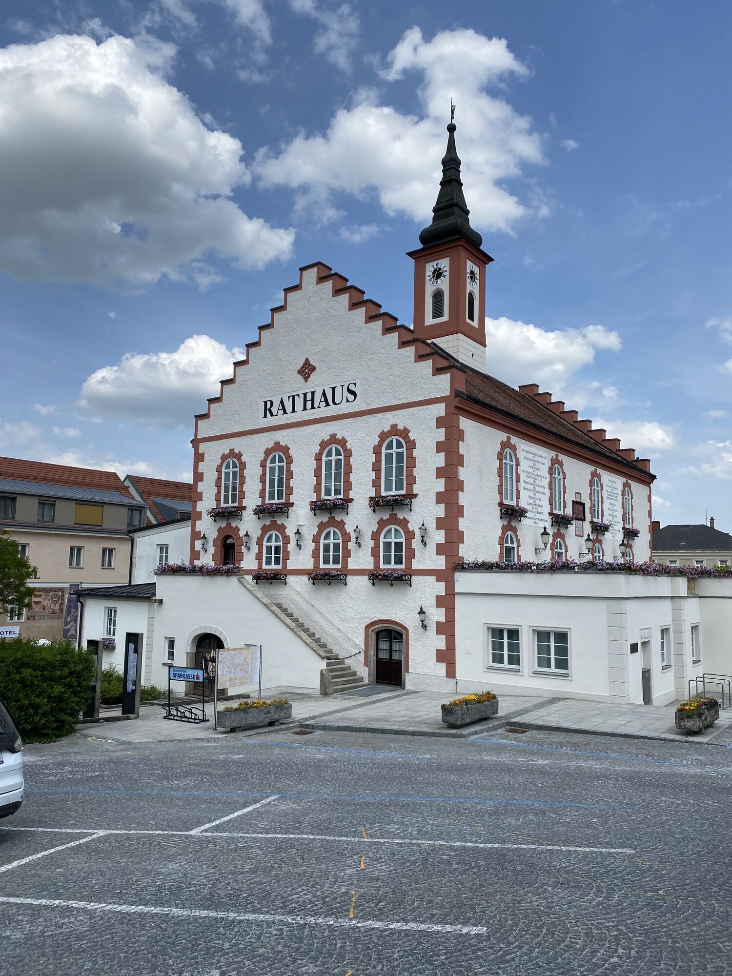
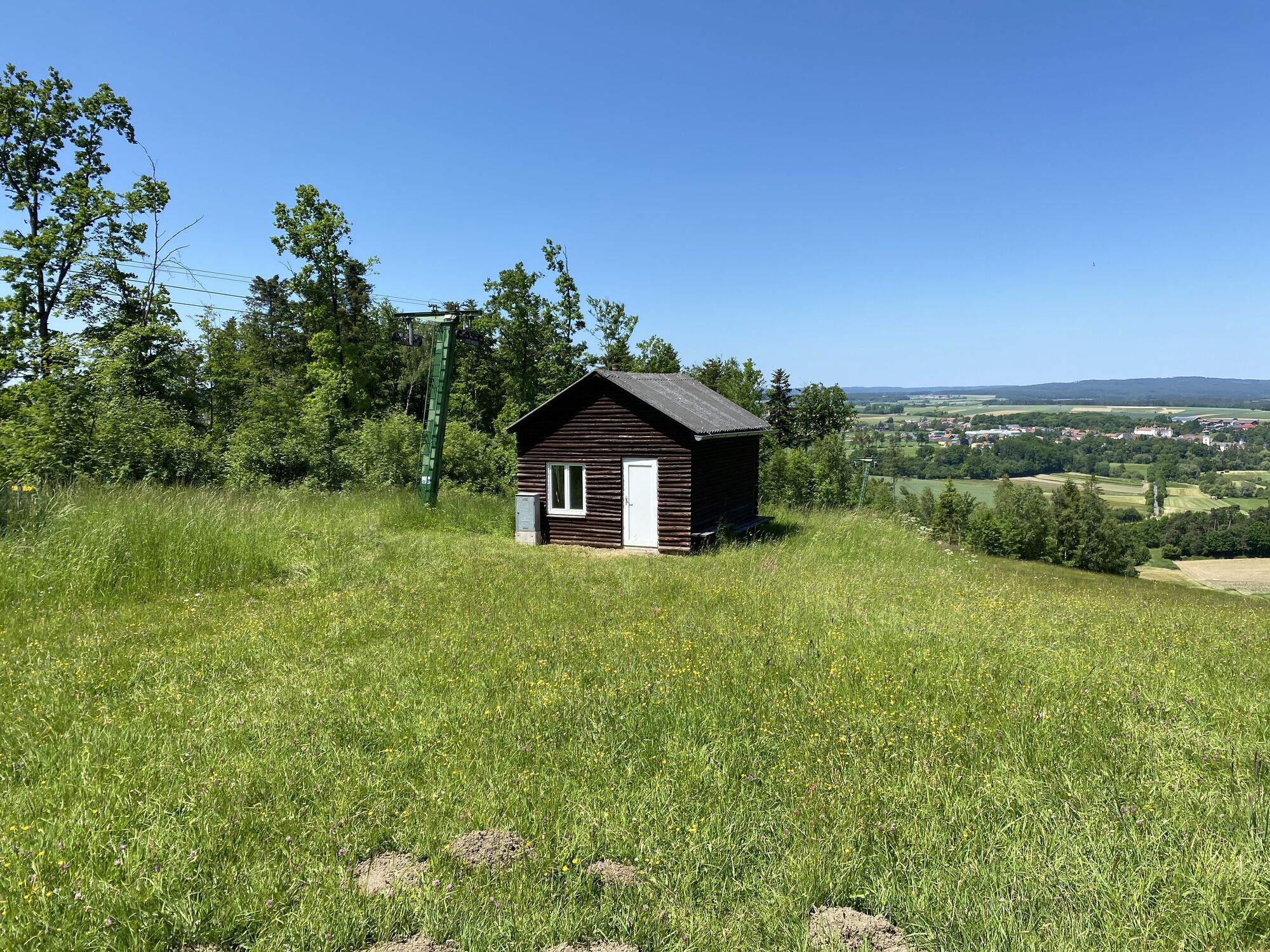
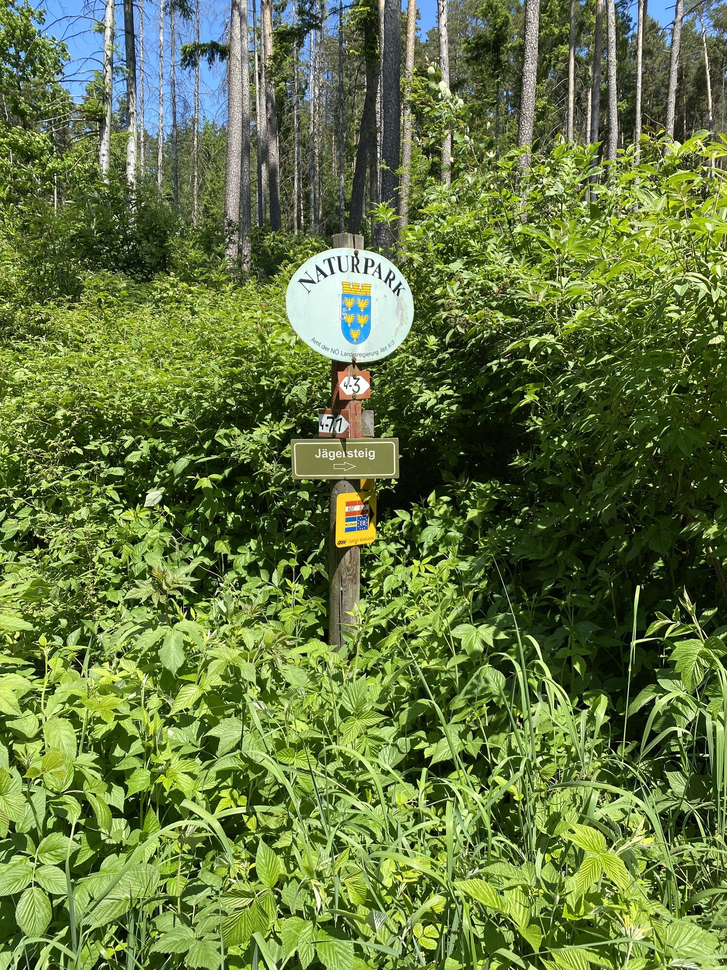

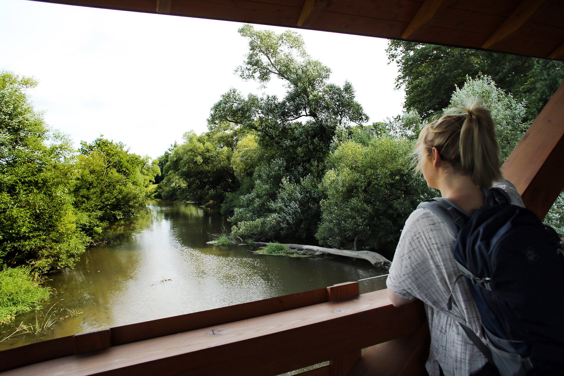
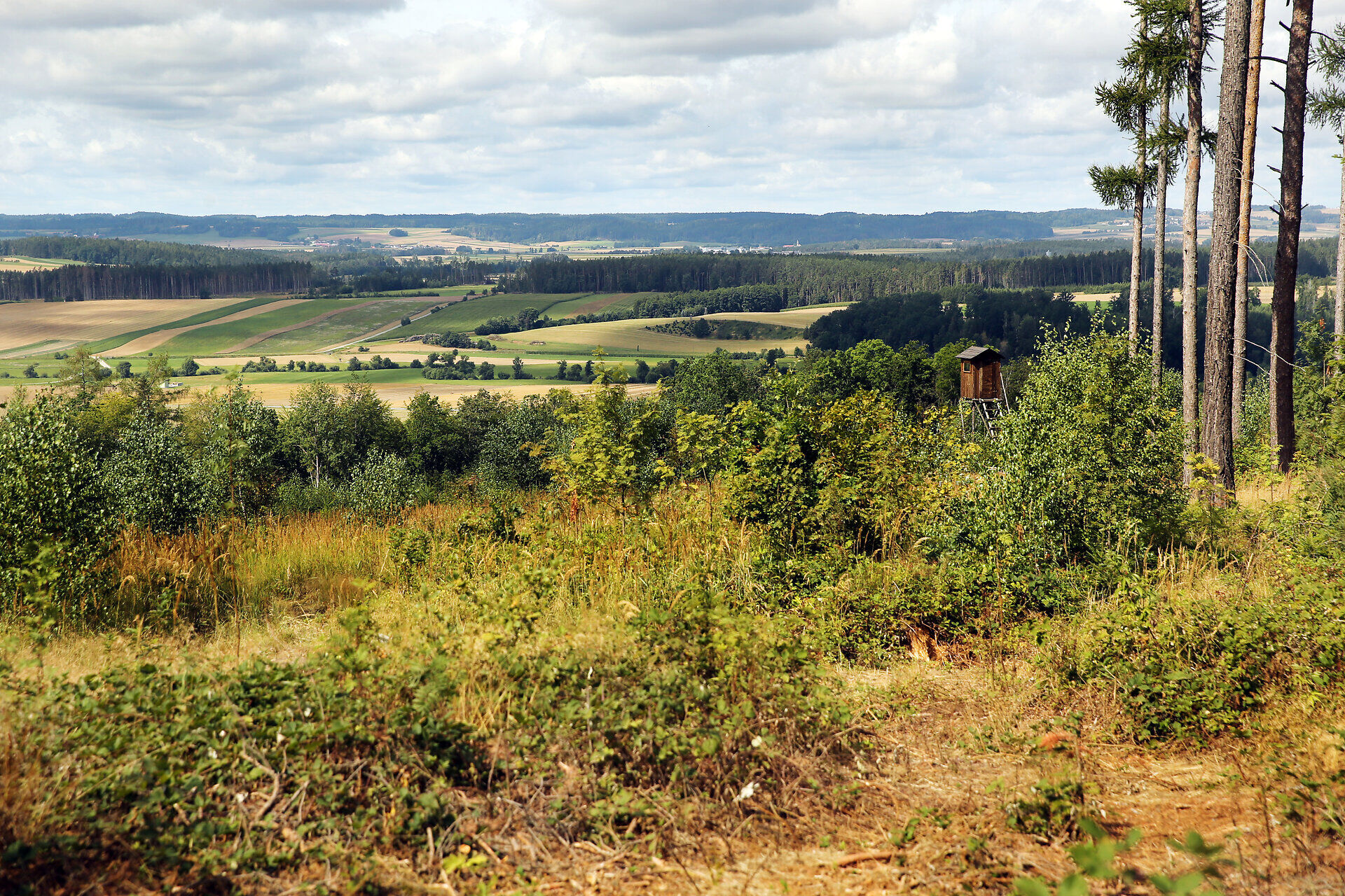
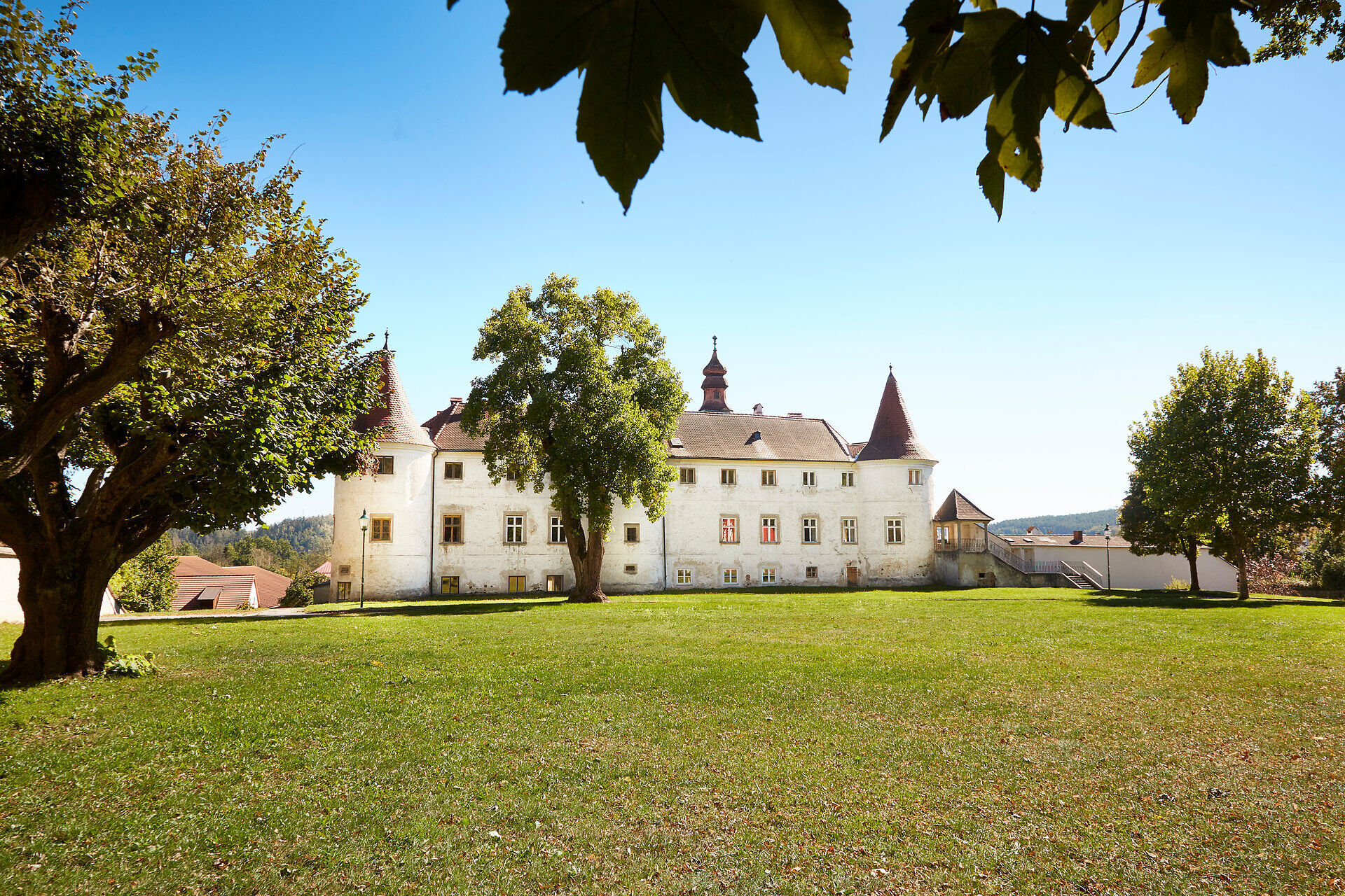
<p>From the town hall, we walk into Wiener Straße and before the castle turn left through a narrow passage. Along an old tree avenue we come to the federal road Waidhofen-Horn. You have to cross it and shortly thereafter turn onto a path to Sixmühle. Past the mill, the path continues along the Thaya riverbank to Kleineberharts. We leave the town on the right, cross a railway line, and walk across open terrain to Thaya. Here you have to walk a short stretch along the federal road towards Dobersberg. Passing the cemetery and crossing the railway line again, you reach the Thaya bridge. Then turn right onto a field path and arrive at Niederredlitz. Continuing along the road towards Göpfritzschlag, you then turn into the Rehberg forest. Then it's through forest or along the forest edge on a path up to the mountain plateau of Maiswaldkogel, where we reach the Dobersberg-Thayatal Nature Park. Along the biotope "Felsenteich" you reach the upper station of the ski lift with a view over the old market. Passing the wild boar enclosure, we descend to the valley station with a barbecue hut, cross the Thaya, and arrive at the fallow deer enclosure. Shortly after, the town is reached.</p>
<p>Vienna - Stockerau - Horn - Waidhofen an der Thaya
</p><p>Linz - Freistadt - Weitra - Gmünd - Schrems - Vitis - Waidhofen an der Thaya</p>
<p>Information at: <a href="www.vor.at">www.vor.at</a&...
Alpine Club, Waldviertel Section
3830 Waidhofen an der Thaya, Hollenbach 120A
(T) +43 664 1112134
(E) waldviertel@sektion.alpenverein.at
Waldviertel Tourism
3910 Zwettl, Sparkassenplatz 1/2/2
(T) +43 2822 54109
(E) info@waldviertel.at
(I) www.waldviertel.at
Parcours populaires à proximité
- 4,4
Teiche-Radroute (Strecke 2020) Niederösterreich
moyenFaire du vélo 48,7 km - 5,0
Thayarunde Slavonice-Waidhofen-Göpfritz
moyenFaire du vélo 47,5 km - 4,2
Thayarunde Waldviertel - 3. Etappe
facilePiste cyclable longue distance 28,2 km - 5,0
Wasser und Felsen
facileRandonnée 8,31 km Thayarunde
facileFaire du vélo 94,2 km- 4,7
Gemeinde Heidenreichstein - Winkelauer Berg - Seyfrieds
facileRandonnée 7,24 km Naturlehrpfad Heidenreichsteiner Moor
facileRandonnée 4,56 km- 5,0
Waldweg des Naturparks Heidenreichsteiner Moor
facileCourir 3,79 km - 3,0
Thayarunde Waldviertel - 1. Etappe
facilePiste cyclable longue distance 20,9 km Thayarunde 5.Etappe
moyenFaire du vélo 47,2 km
Randonnée et suivi


Ne manquez pas les offres et l'inspiration pour vos prochaines vacances
Votre adresse électronique a été ajouté à la liste de diffusion.