







Stone Trail Langschlag

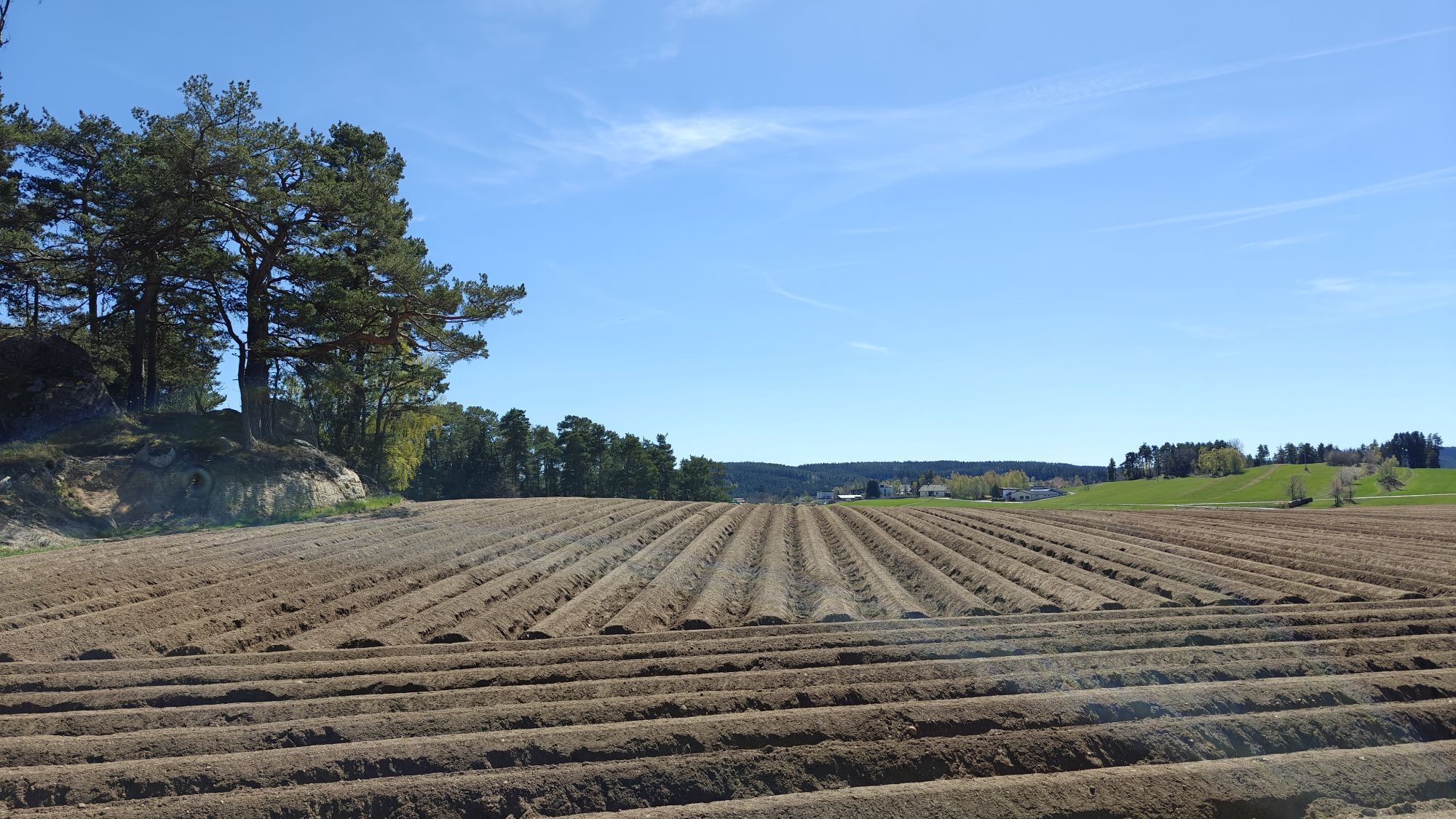

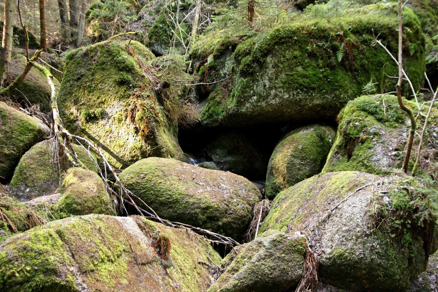
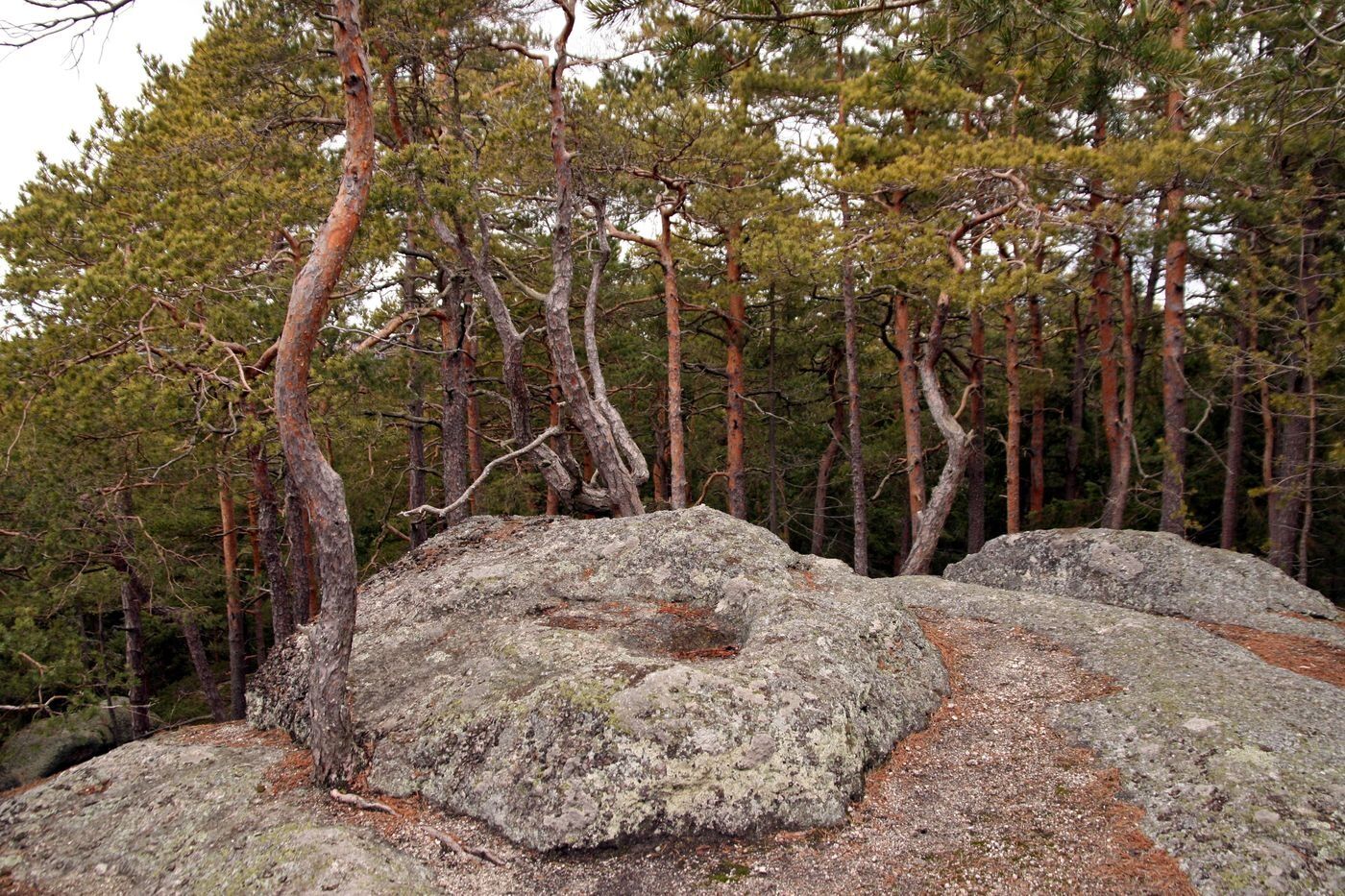
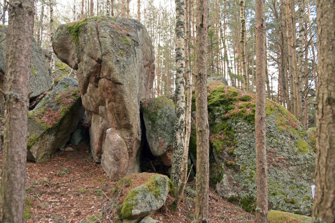
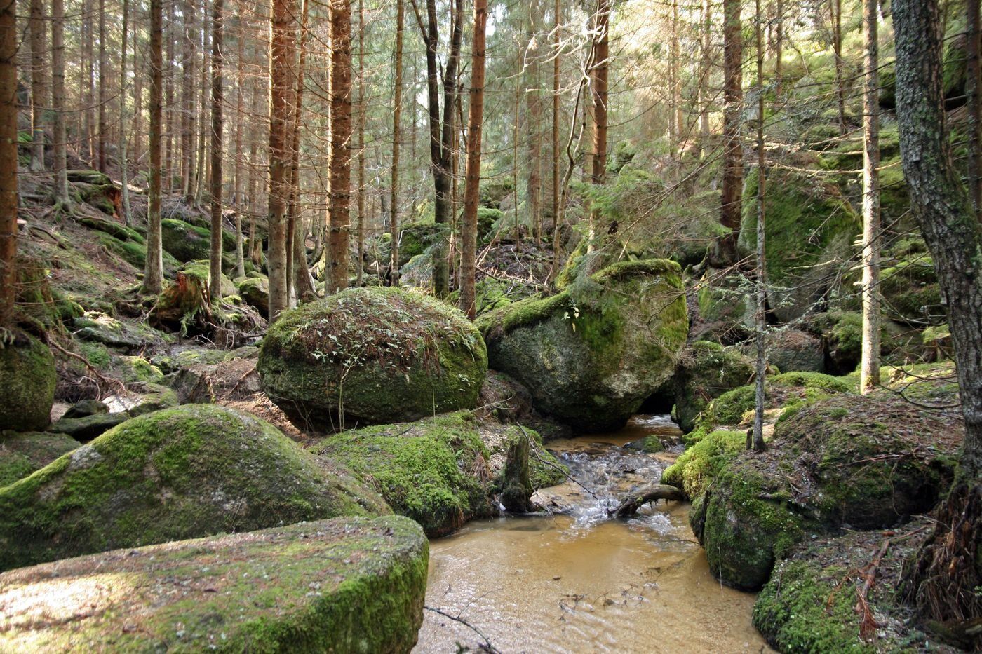
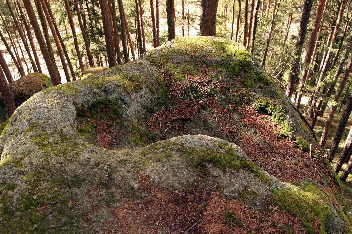
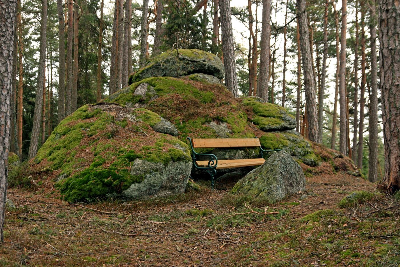
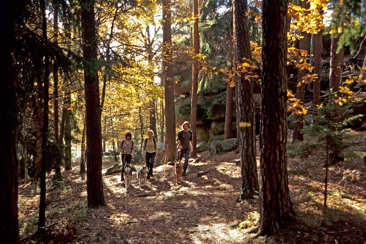
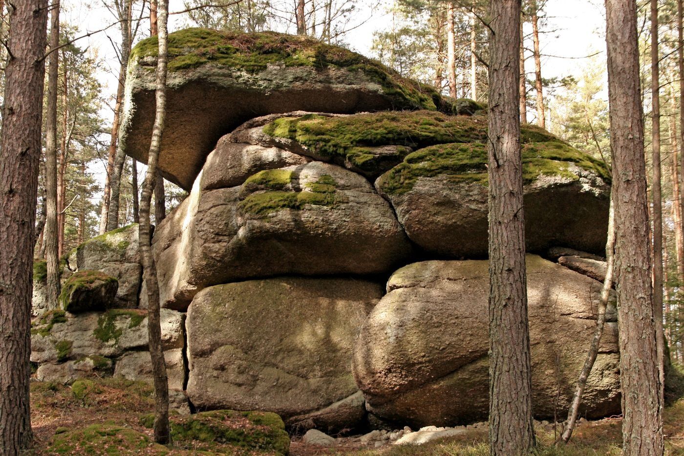
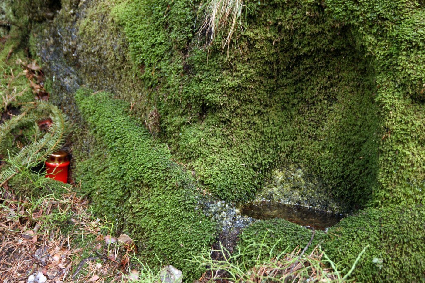
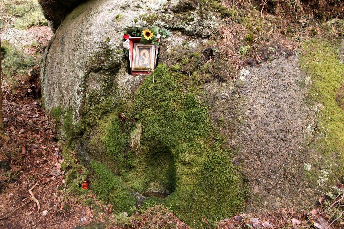
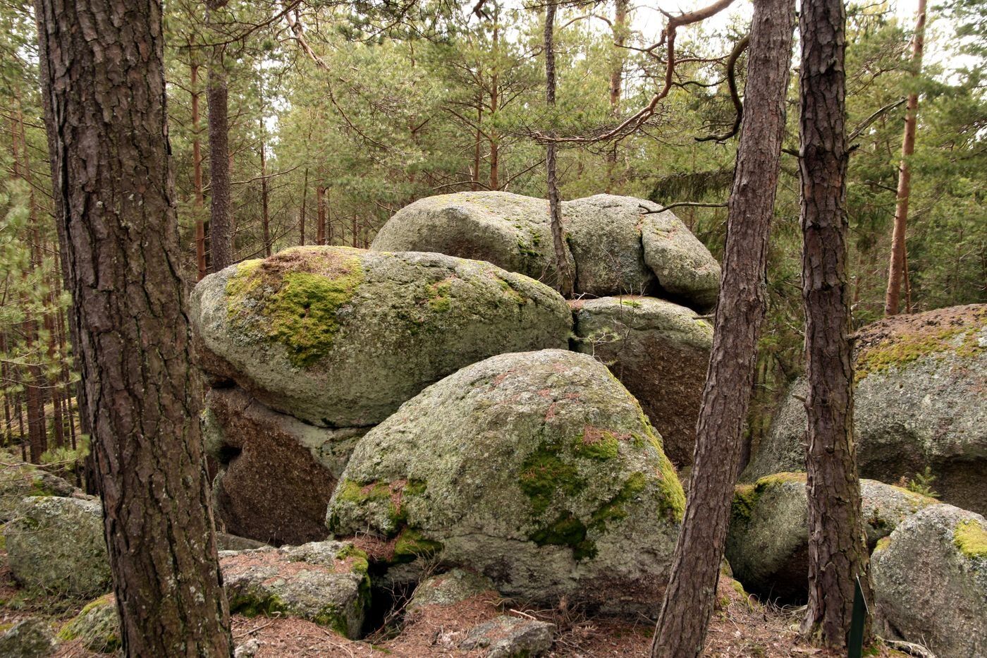

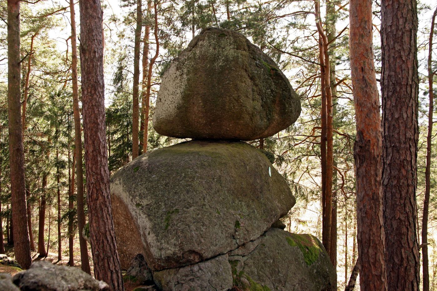
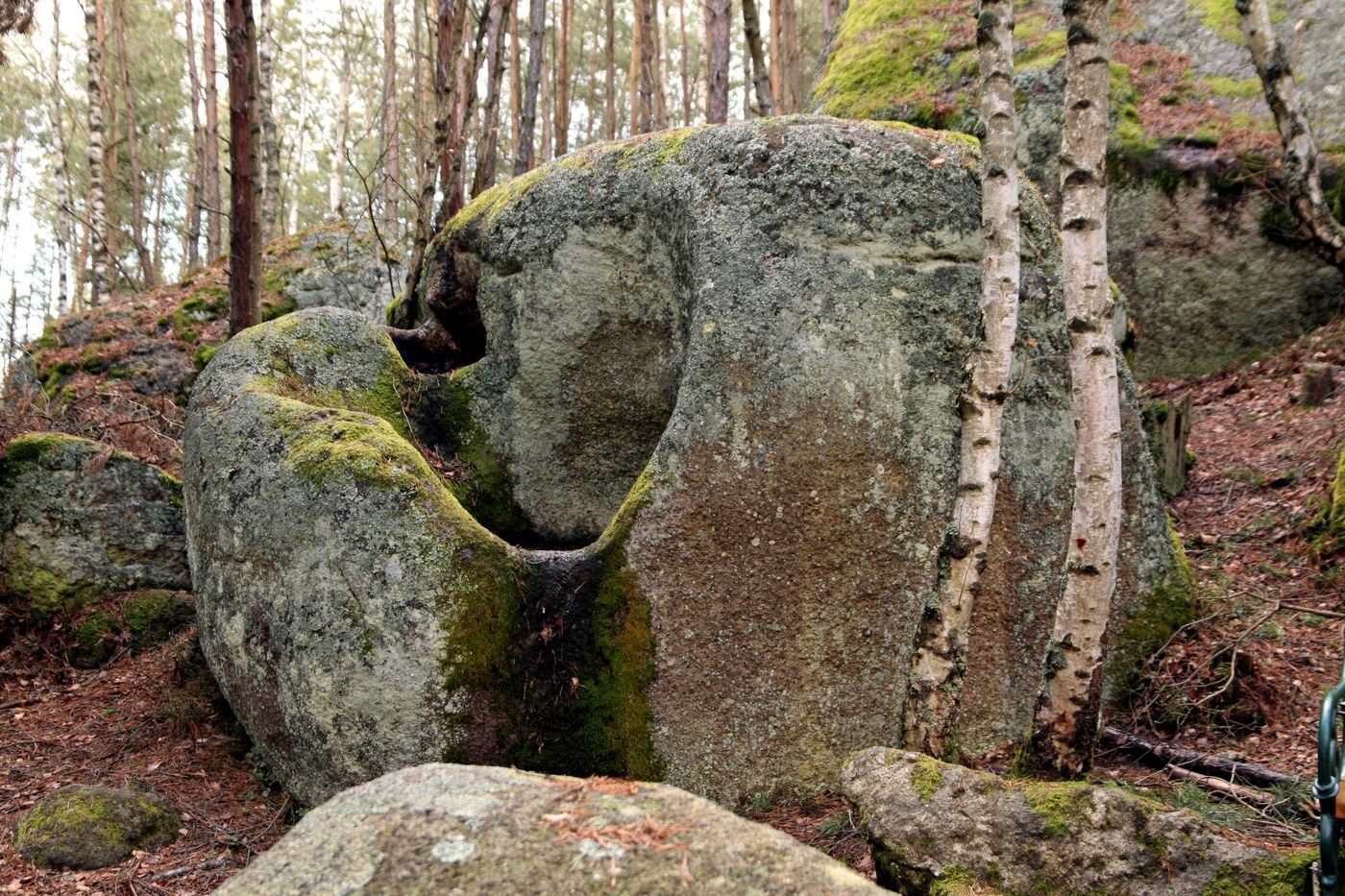

<p>The stone-rich circular route starts at the bus stop on the B38 and leads not only to stone formations such as the rocking stone or the camel stone, but also to energy and power places such as the mother-child stone, the eye spring, or the fertility stone. A wild romantic natural spectacle is the section Teufelsmühle – Höllgraben along the Elexenbach stream, where according to a legend the devil threw large boulders into the creek out of sheer rage over his betting loss. You can find more information about these stone formations in the folder “Stone Trail Langschlag.” On this hike, you can feel the forces of nature and use them for yourself.</p>
<p>Sturdy footwear, functional clothing, sun and rain protection, maps, if necessary telescopic poles, first aid kit (blister plasters), sufficient supplies (snack, muesli bars, fruit, water).</p>
<p>Make sure when choosing your route that it matches your fitness level. Check whether the gastronomy businesses you want to visit along the way are open. Pack your charged mobile phone and maps in your backpack. For cross-border routes, always carry a passport or identity card.</p>
<p>A22 and S5 or S33 to Krems - B37 to Zwettl - B38 to the town center of Langschlag</p>
Municipality of Langschlag
3921 Langschlag, Marktplatz 37
Tel. 02814/ 8218
Fax: 02814/ 8218-4
gemeinde@langschlag.gv.at
www.langschlag.gv.at
Waldviertel Tourism
3910 Zwettl, Sparkassenplatz 1/2/2
(T) +43 2822 54109
(E) info@waldviertel.at
(I) www.waldviertel.at



Parcours populaires à proximité
-
4,8
Nebelsteinweg
Randonnée 6,98 km -
4,3
Wandern im Liebenauer Moor
facileRandonnée 4,16 km -
3,6
Zwei-Tausender-Tour Tischberg-Eichelberg
facileRandonnée 12,4 km -
4,5
Nebelstein vom Moorheilbad
moyenRandonnée 12,9 km -
5,0
Sandl - S2 - Rosenhof Rundweg
facileRandonnée 3 km -
4,8
4-Berge Marsch Mandelstein - Nebelstein - Wachberg - Johannesberg
Randonnée 30,8 km -
4,0
Nordwaldstrecke
VTT 25,1 km -
5,0
Liebenau Nr. 31 Kampursprung
facileRandonnée 10,3 km -
5,0
Gugu-Rundwanderung Gugu, Oberösterreich
facileRandonnée 10,2 km -
4,0
Moorbad Harbach-Runde über Rotes Kreuz
facileRandonnée 8,55 km
Randonnée et suivi


Ne manquez pas les offres et l'inspiration pour vos prochaines vacances
Votre adresse électronique a été ajouté à la liste de diffusion.





