







Druids' Trail - Peilsteinblick, No. 31a
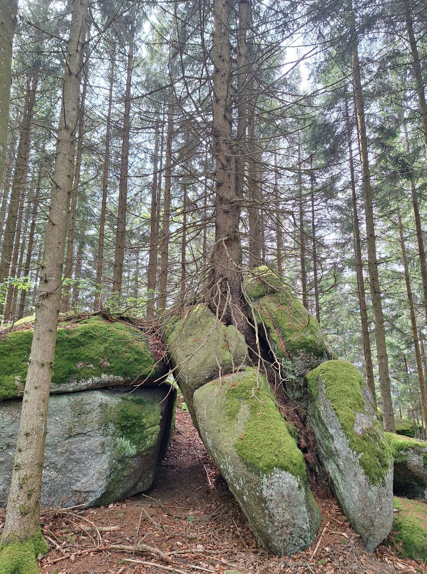
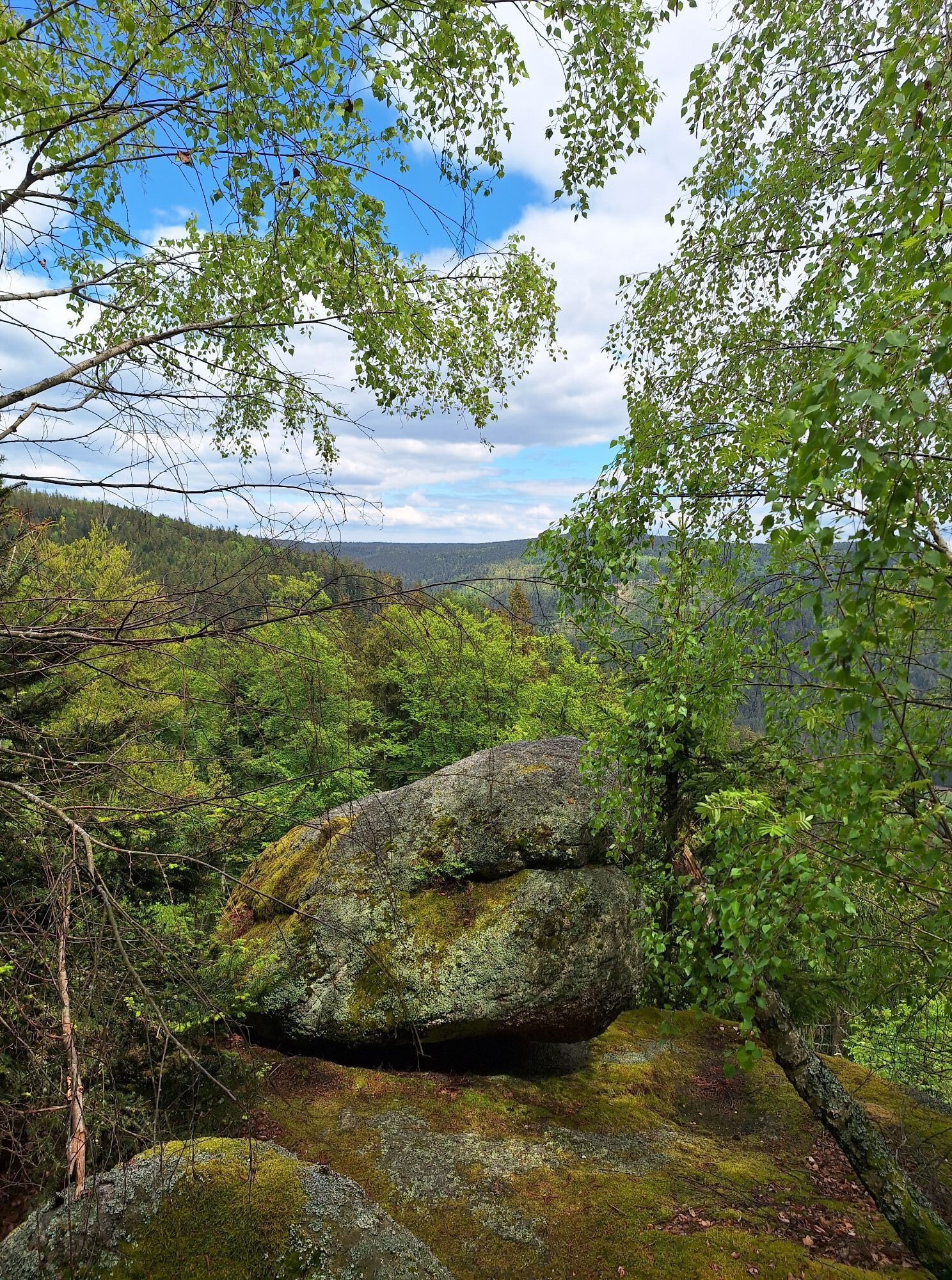
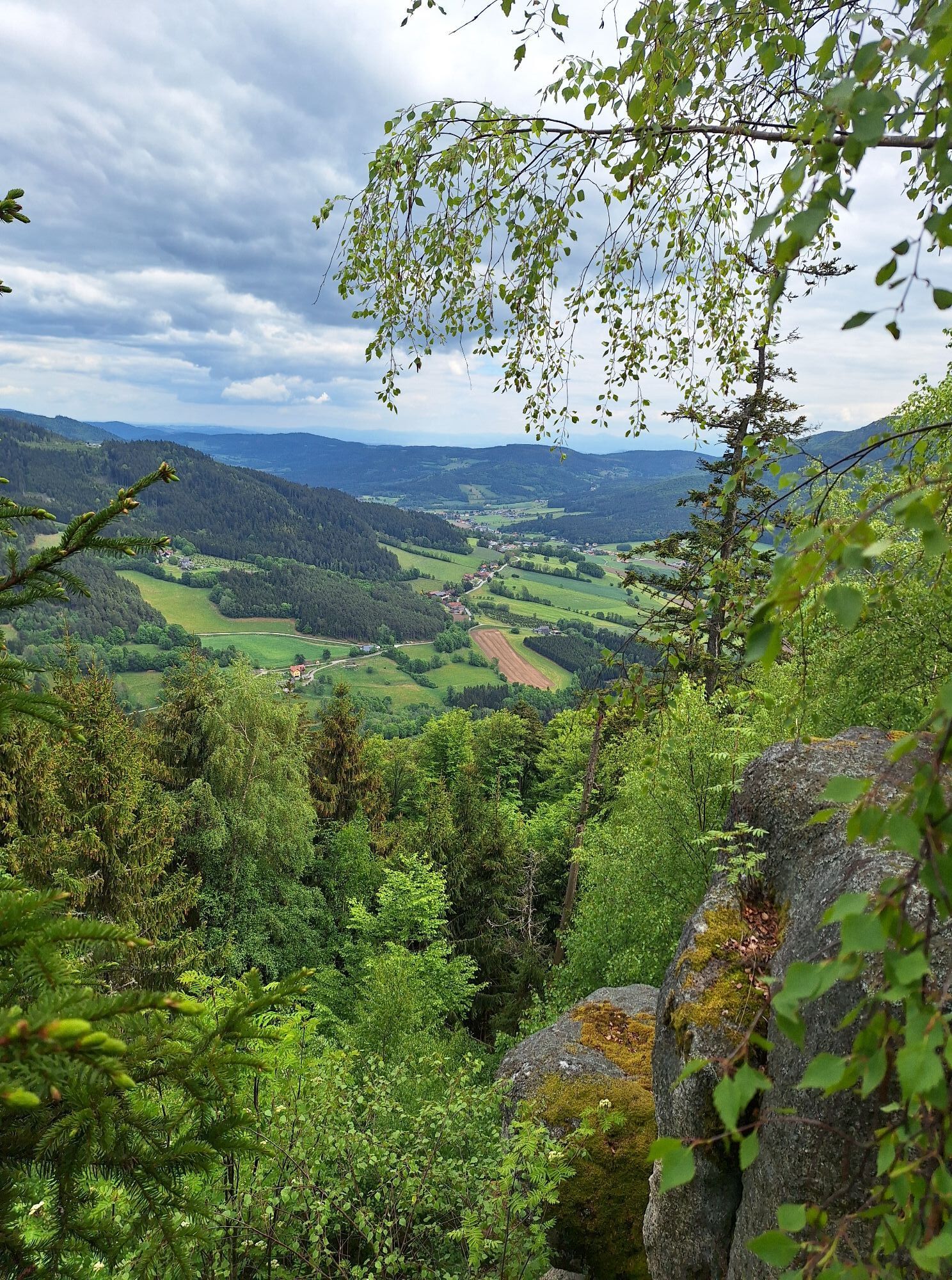
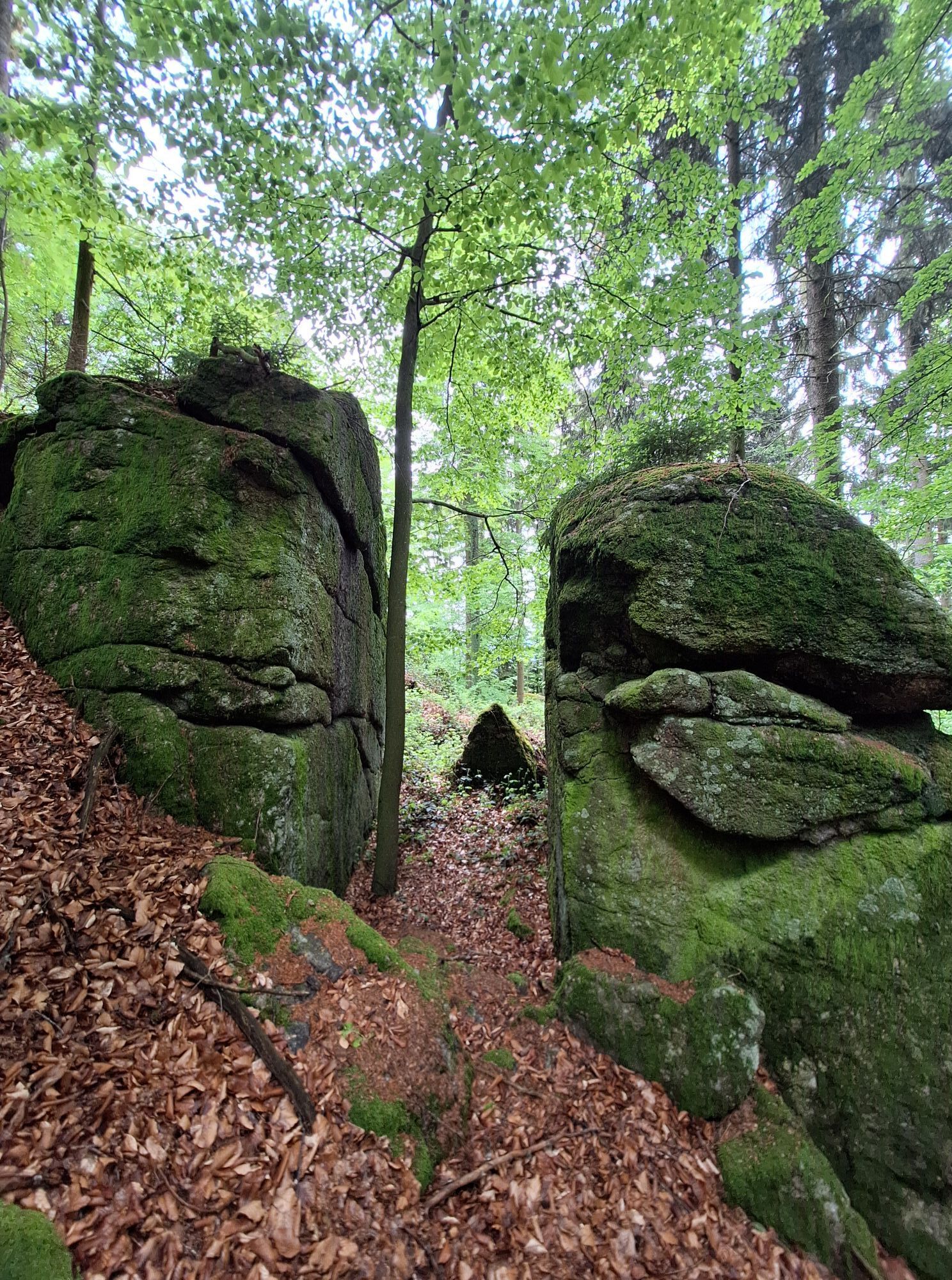


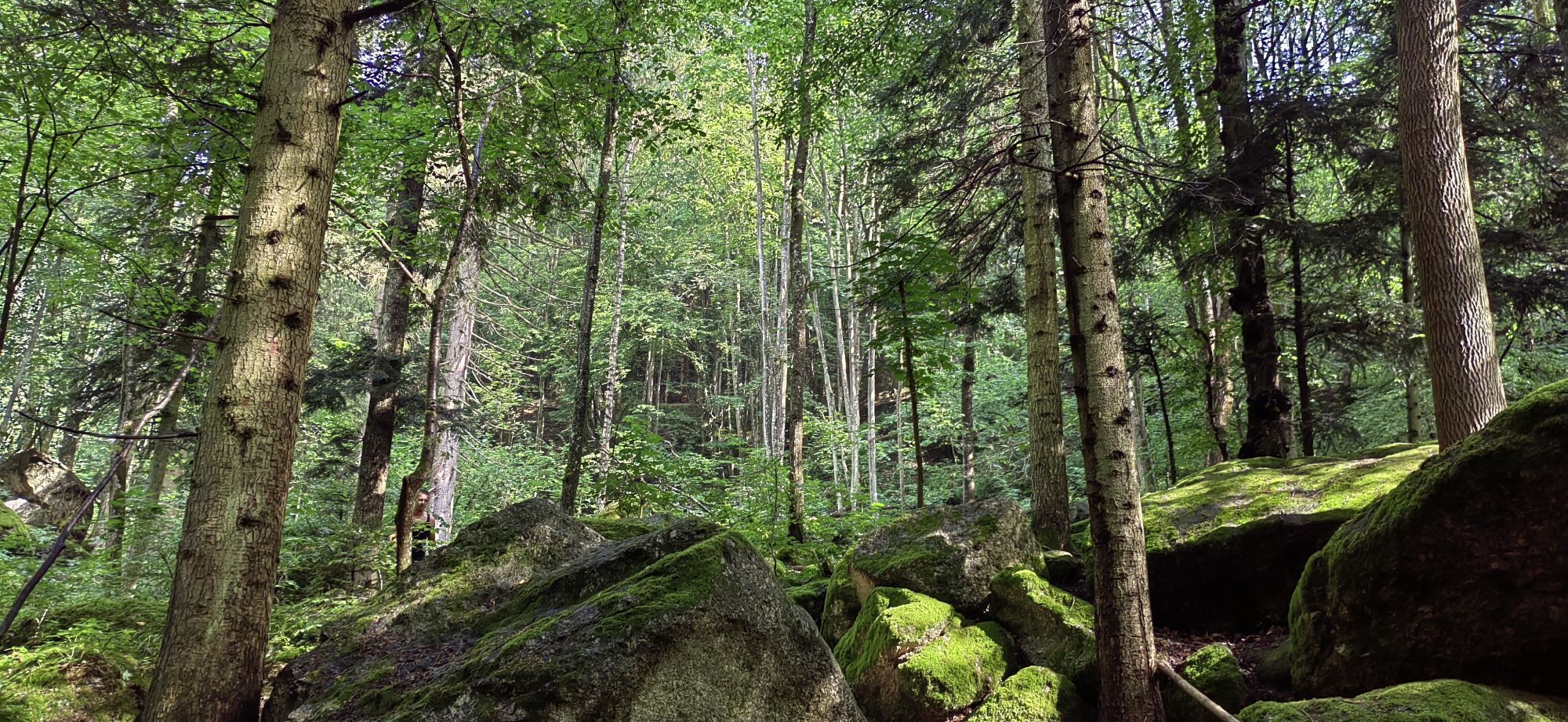
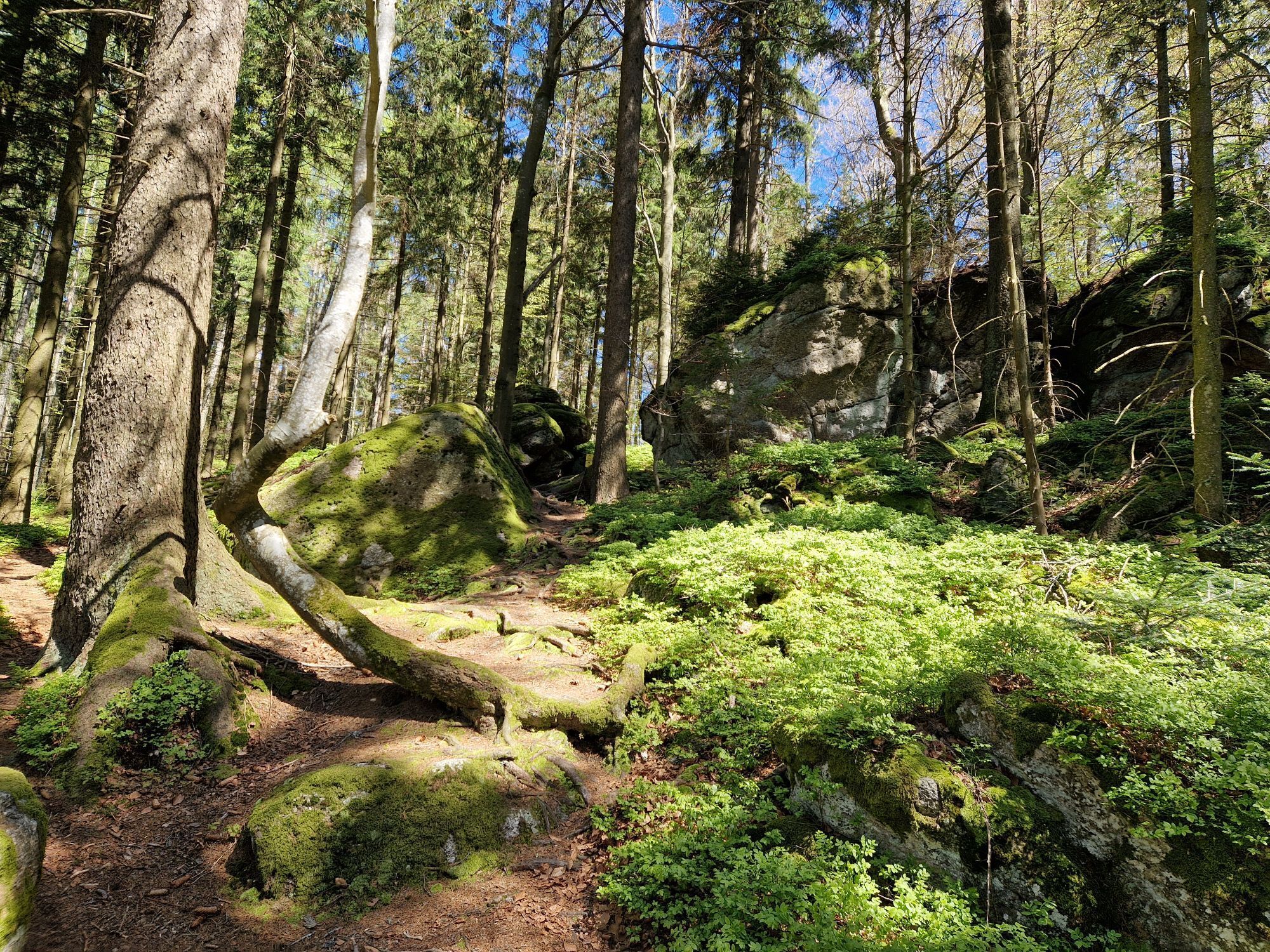
The Druids were the cultic and spiritual elite in Celtic society. Numerous myths surround them and the unique stone formations. The Druids' Trail - Peilsteinblick, No. 31a leads to Kaltenberg with its...
<p>The Druids were the cultic and spiritual elite in Celtic society. Numerous myths surround them and the unique stone formations. The Druids' Trail - Peilsteinblick, No. 31a leads to Kaltenberg with its mystical stone circles, bowl stones, and special stories about Celtic customs.</p>

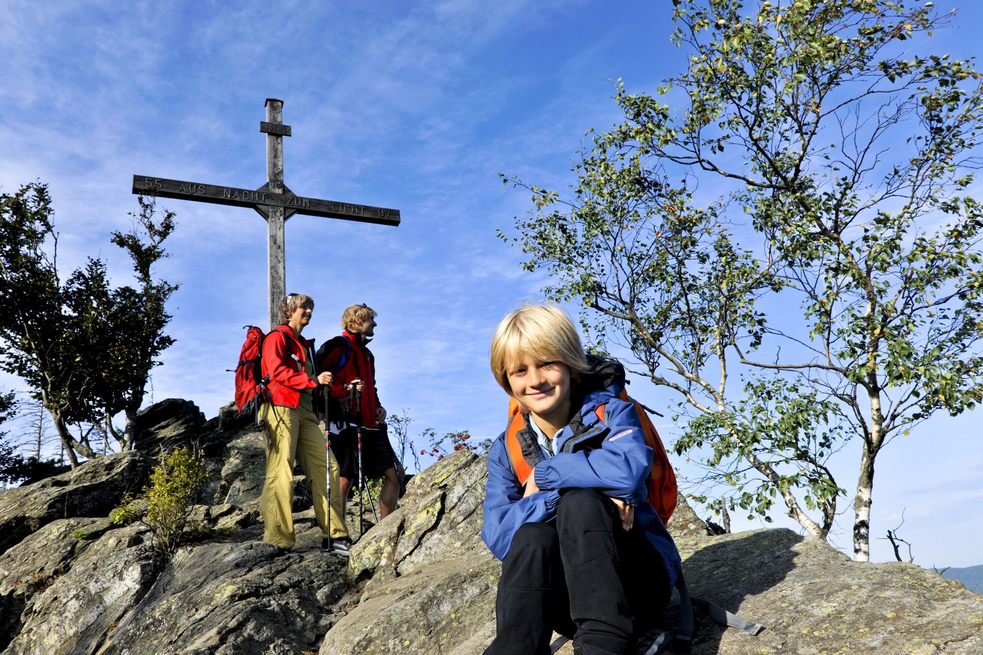

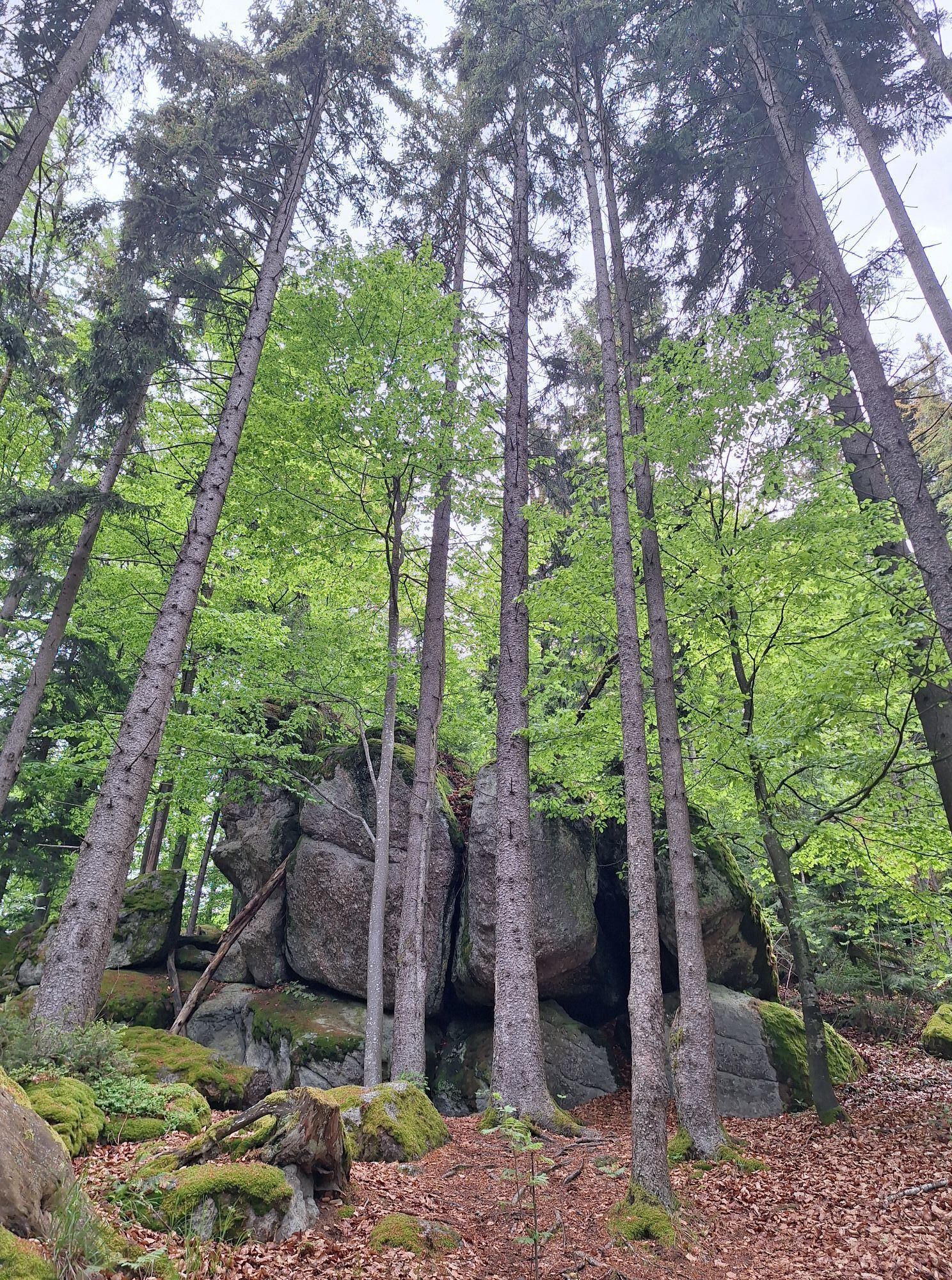
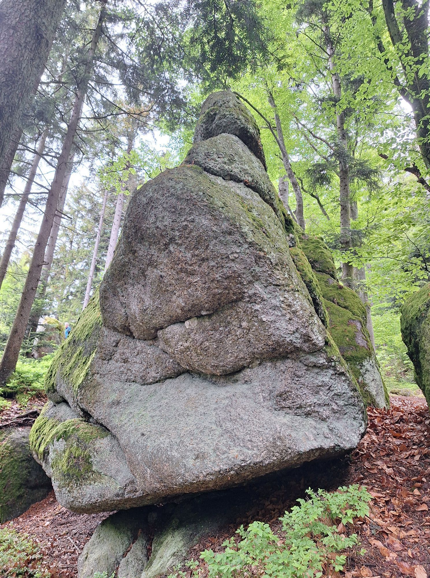
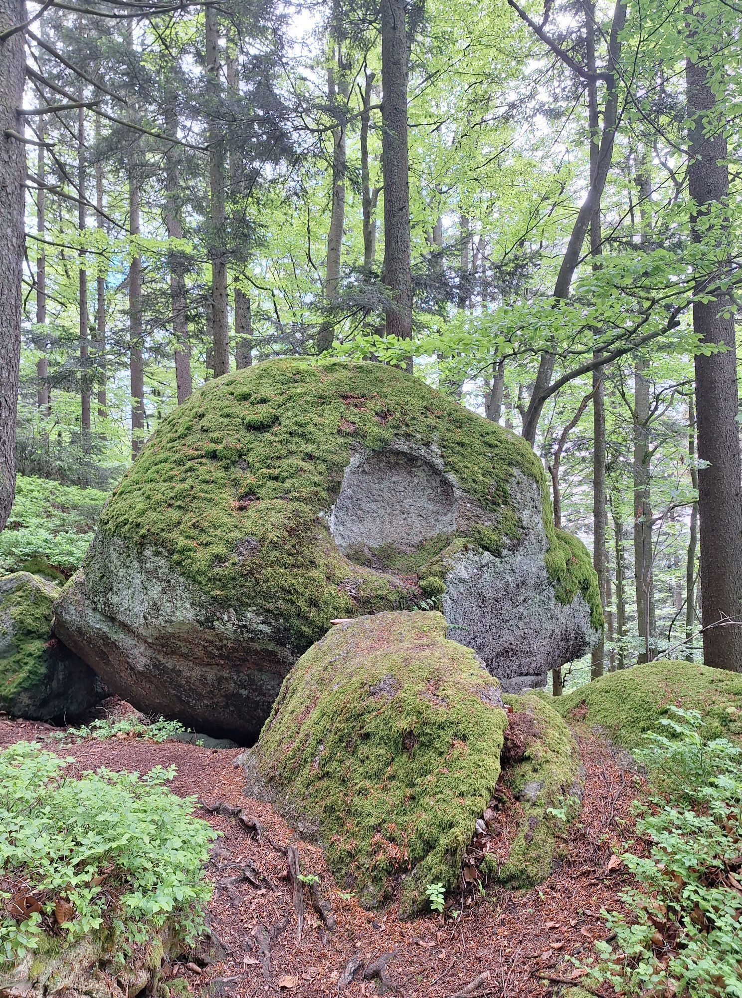
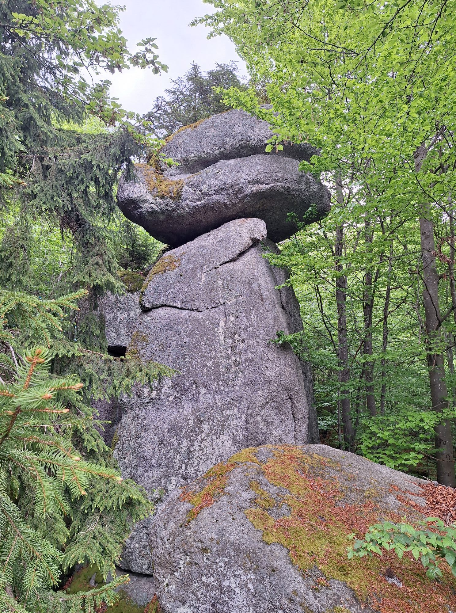
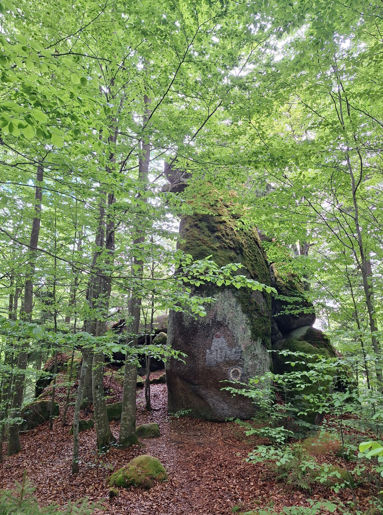
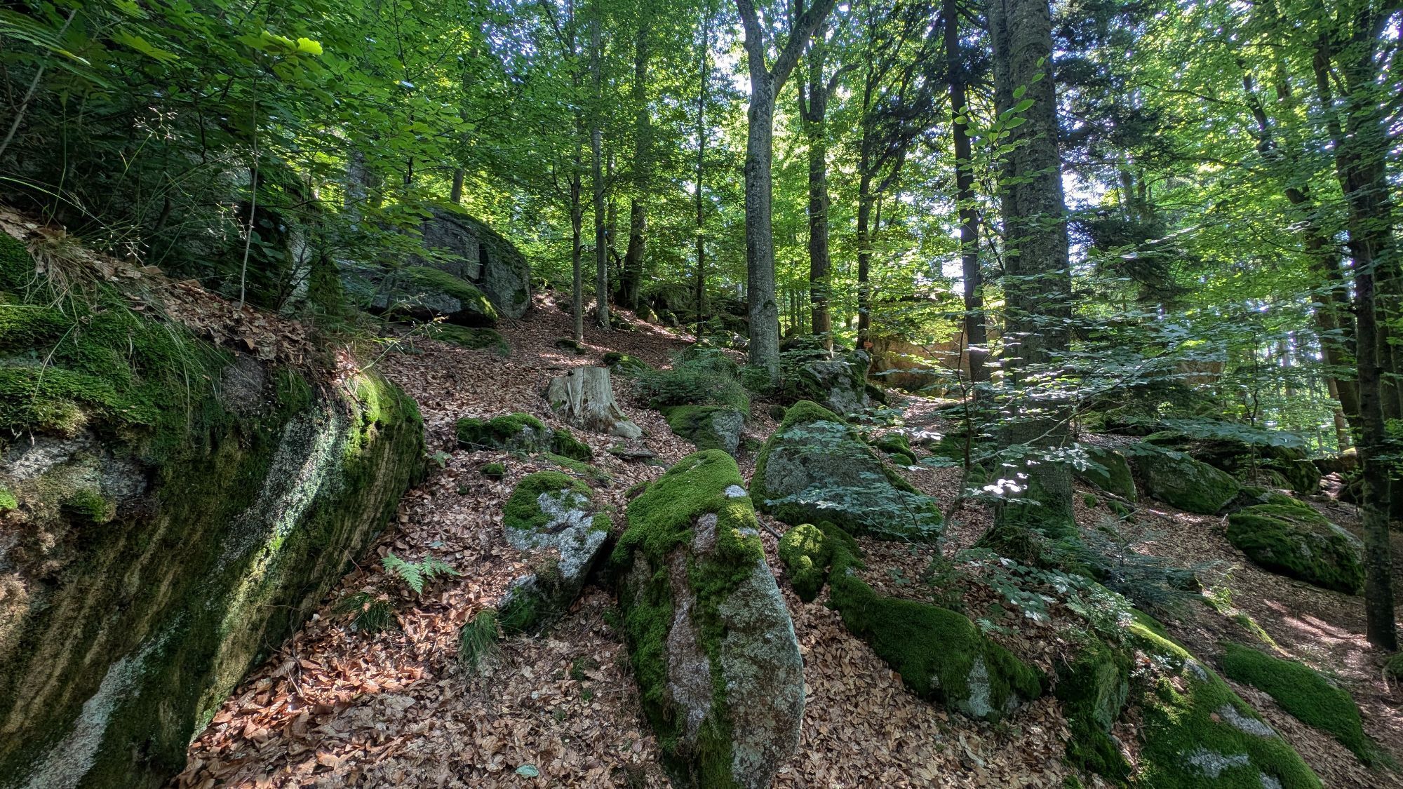
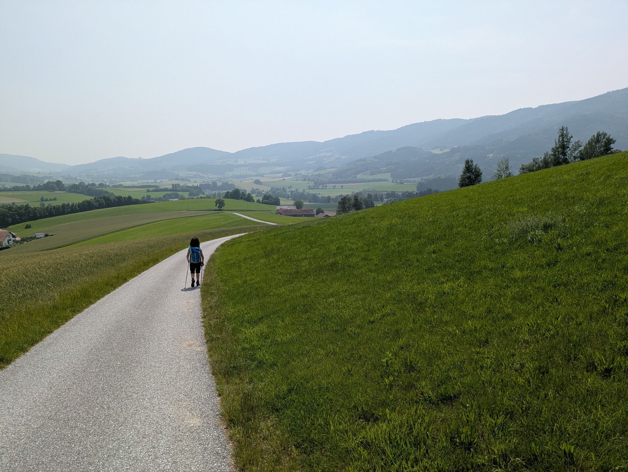
<p>The starting point is the Peilsteinblick inn in Stangles. The path leads past the Liedlmühle farm to the Perndlschmiede (waterwheel) in Pisching. At the church, we cross the street and hike steeply uphill to the Kaltenberg cross (not the highest point but the view is worth seeing). Over the ridge you first go slightly downhill and then uphill again to the "Böndel" (a hilltop) and further to the <strong>"Sphinx"</strong>, which seems to watch over the region. Following the 31a marker, you reach the <strong>"Sitting Dog"</strong>, the <strong>"Standing Bowl"</strong>, as well as the <strong>"Outer and Inner Stone Circle"</strong> (Druid meeting point). Hiking gently downhill, you reach the <strong>"Large Bowl"</strong> and the impressive <strong>"Living Cave"</strong>. The descent takes place via the forest road to Siebendürfting back to the Peilsteinblick inn.</p>
<p>Make sure when choosing the route that it matches your fitness level. Check if the restaurants you want to visit along the way are open. Pack your mobile phone and map material in your backpack.</p>
<p>Sturdy footwear, functional clothing, sun and rain protection, map material, if necessary telescopic poles, first aid kit (blister plasters), sufficient provisions (snacks, muesli bars, fruit, water)</p>
<p>Vienna - A1 to the Ybbs/Wieselburg exit - B25 Erlauftal federal road to Persenbeug - then onto B3 to Yspersdorf - drive on L7275 to Klaus<br />Linz - take B3 towards Perg/Mauthausen/Steyregg to Yspersdorf - drive on L7275 to Klaus</p>
<p>At the Peilsteinblick guesthouse.</p>
Ysper-Weitental Tourist Office
3683 Yspertal, Hauptstraße 9
(T) +43 7415 6767 25
(E) info.yw@waldviertel.at
Waldviertel Tourism
3910 Zwettl, Sparkassenplatz 1/2/2
(T) +43 2822 54109
(E) info@waldviertel.at
(I) www.waldviertel.at
Parcours populaires à proximité
-
4,0
Yspertal: Druidenweg - Ysperklamm
moyenRandonnée 9,56 km -
4,6
Waldhausen : circuit panoramique
moyenRandonnée 14,0 km -
4,6
Ausgedehnte Peilsteinrunde
moyenRandonnée 13,7 km -
4,5
Durch die Steinwandklamm von Maria Taferl aus
facileRandonnée 8,26 km -
4,8
Herzsteinweg Ysper und Burgsteinmauer
moyenRandonnée 14,7 km -
4,9
LAIMBACH Ostrong Peilstein 20220716
moyenRandonnée 7,70 km -
4,0
Burgstall-Wanderweg Nr. 3
moyenRandonnée 11,8 km -
4,8
Ysperklamm
facileRandonnée 3,92 km -
3,8
Bärnkopf Ysperklammstrecke
difficileVTT 31,0 km -
4,8
Natur-Geheimnis-Pfad Nr. 5
facileRandonnée 4,04 km
Randonnée et suivi


Ne manquez pas les offres et l'inspiration pour vos prochaines vacances
Votre adresse électronique a été ajouté à la liste de diffusion.





