


Tut gut hiking trail: Nußdorf ob der Traisen - route 2 green
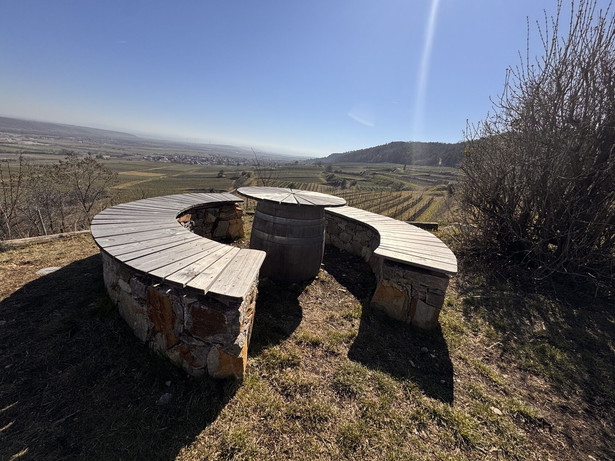
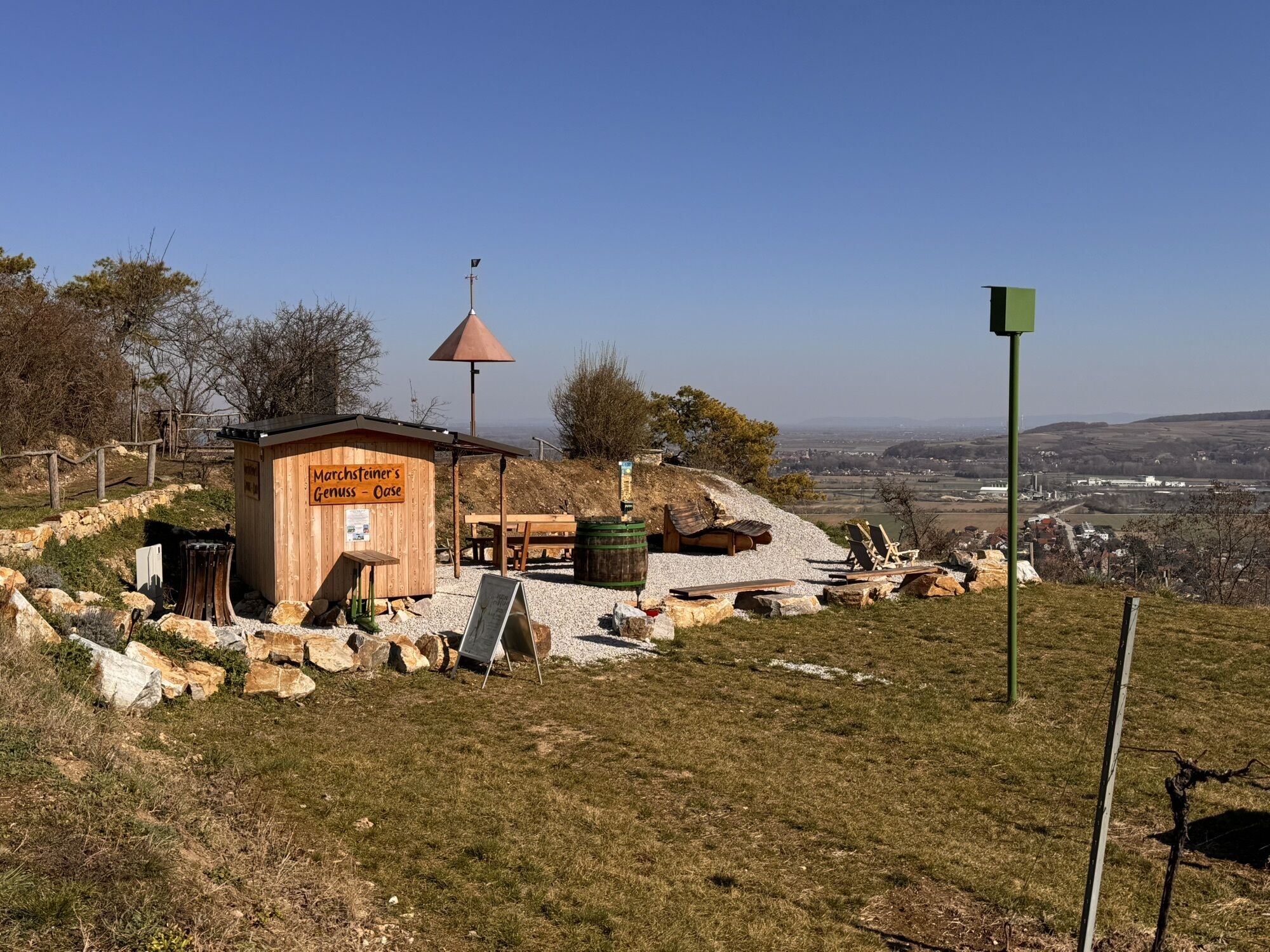
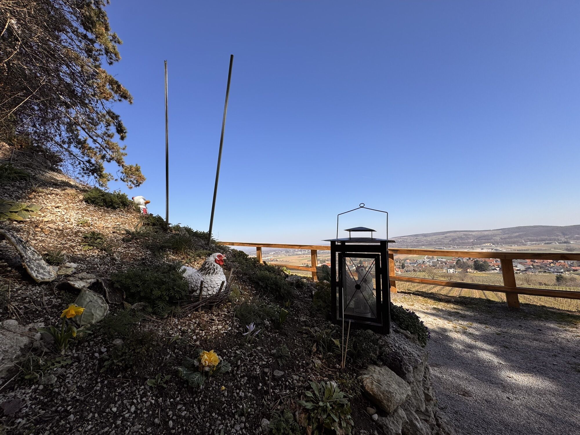
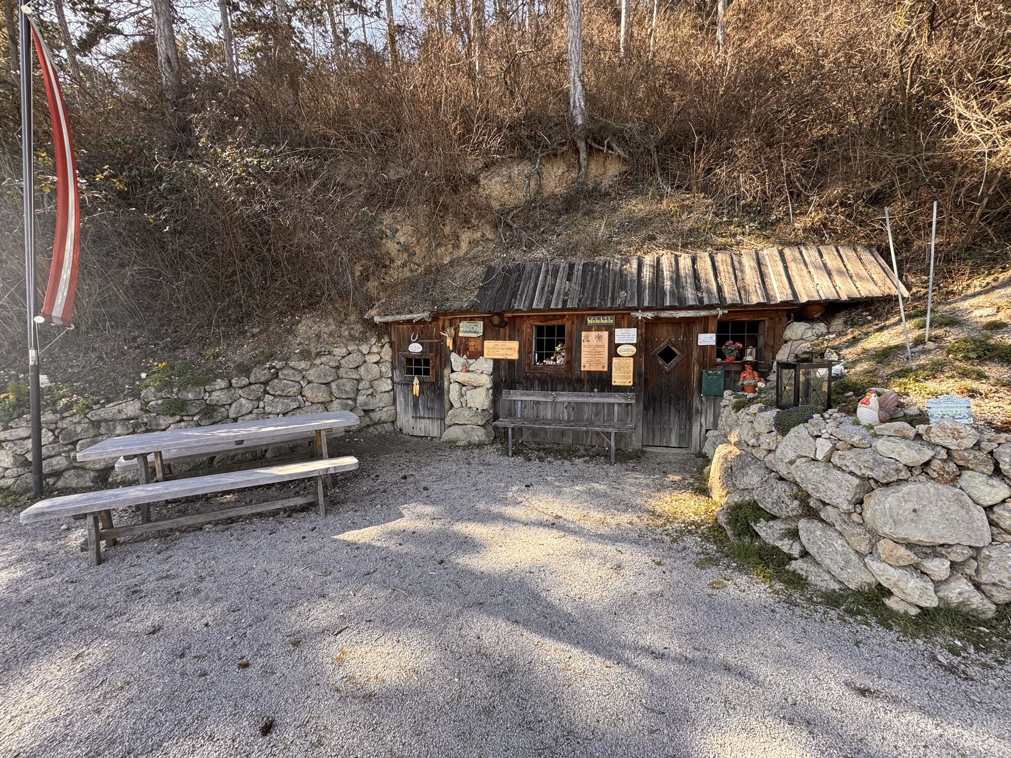
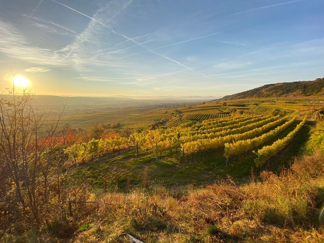
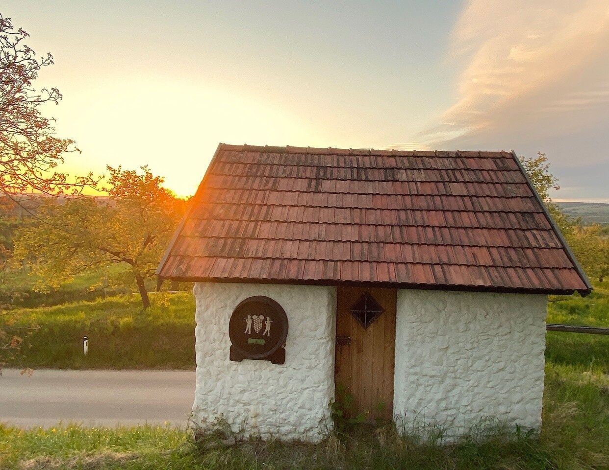
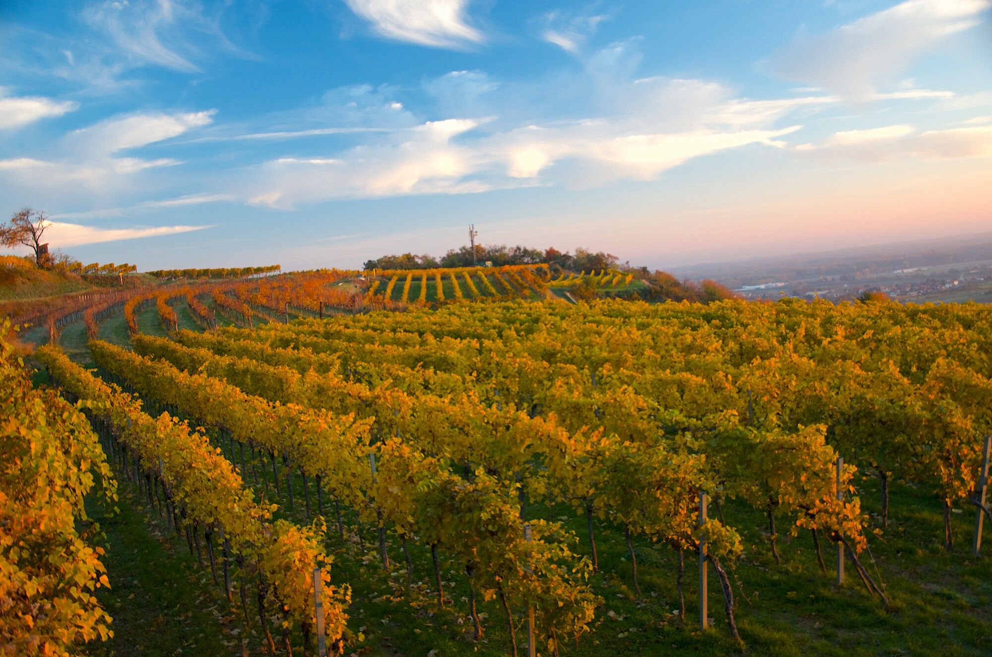
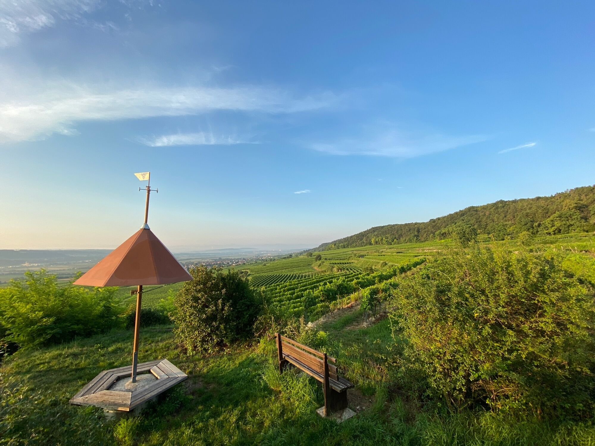
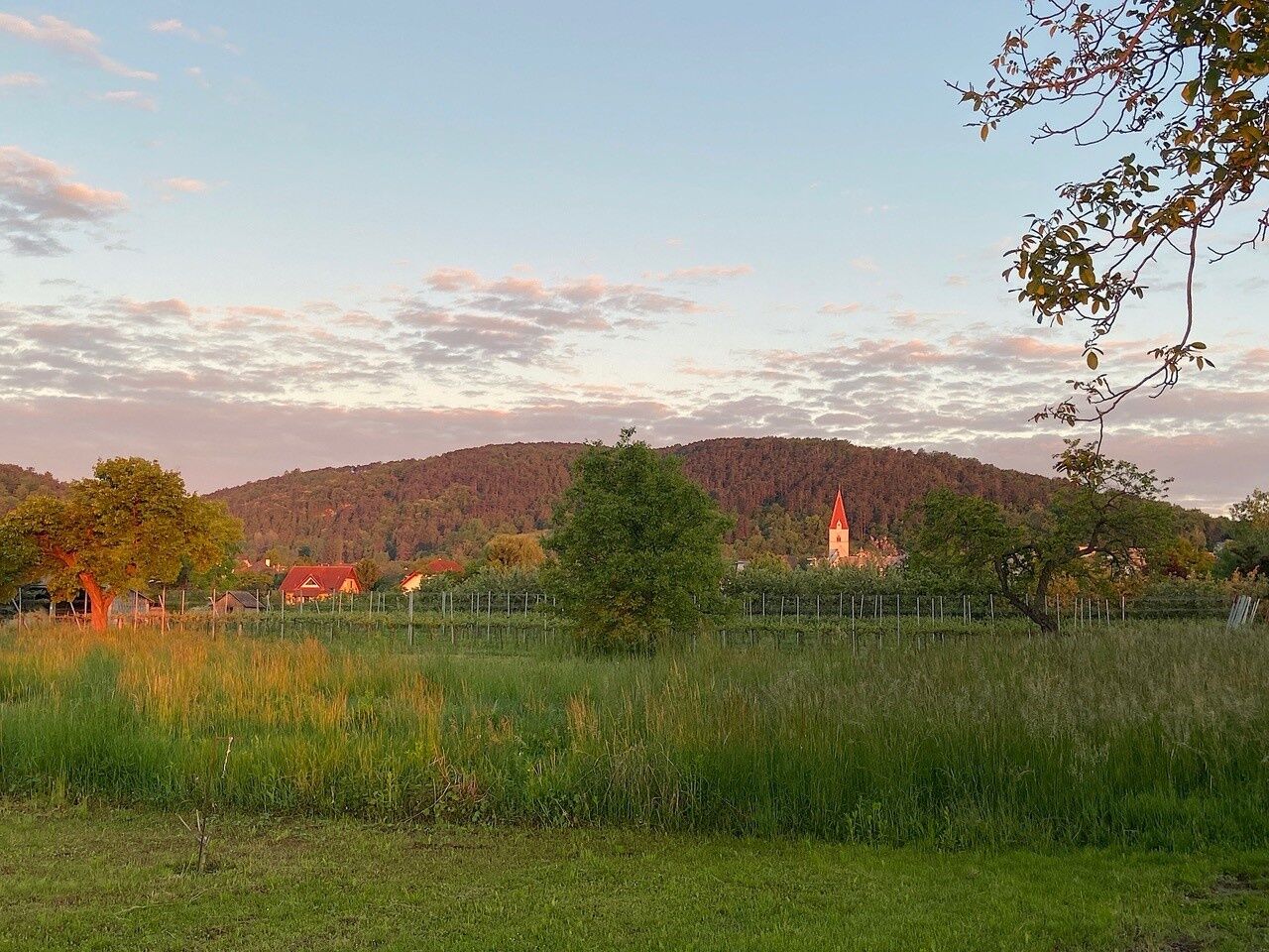
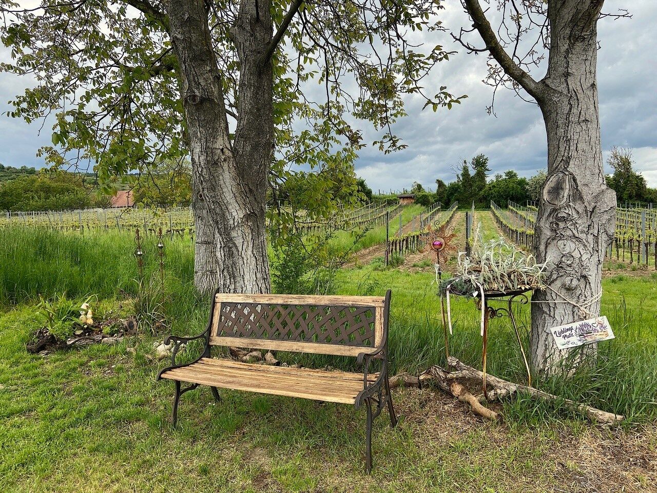
Starting from Nußdorf, the trail leads uphill through vineyards and orchards to the viewpoint on the Parapluiberg and on to the cave. From both locations, you have a wonderful panoramic view of the Weinland...
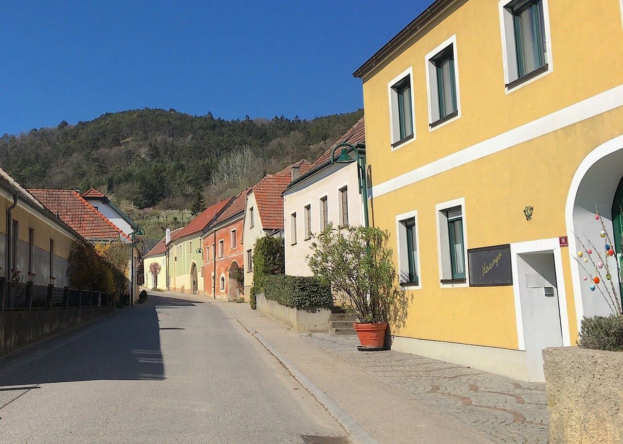
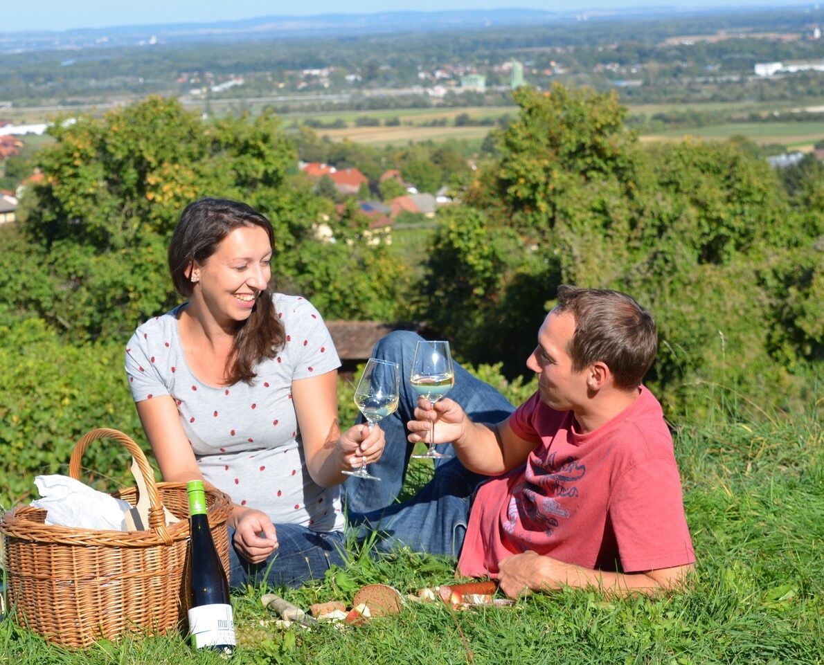
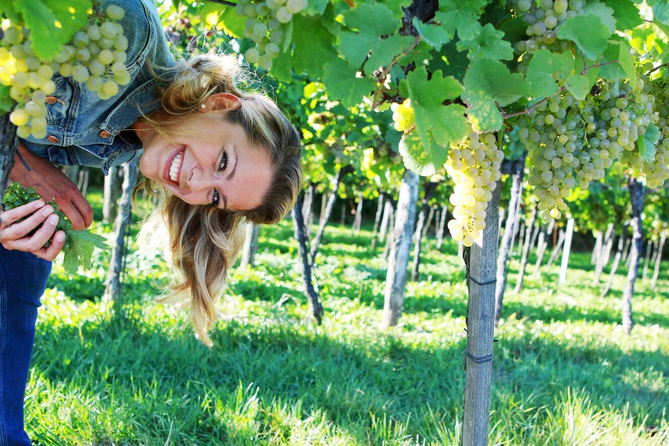
Starting from Nußdorf, the trail leads uphill through vineyards and orchards to the viewpoint on the Parapluiberg and on to the cave. From both locations, you have a wonderful panoramic view of the Weinland Traisental and the foothills of the Alps as well as the Danube valley and Tullnerfeld. The return route leads through Kellegasse and Reichersdorf to Franzhausen and back to Nußdorf, with playgrounds for children along the way. Once you arrive at the starting point, there are various wine taverns and inns to stop off at for refreshments. You can also buy wine or fruit juices from the many top wineries or in the village shop; you will also find information on this at the starting point of your hike.

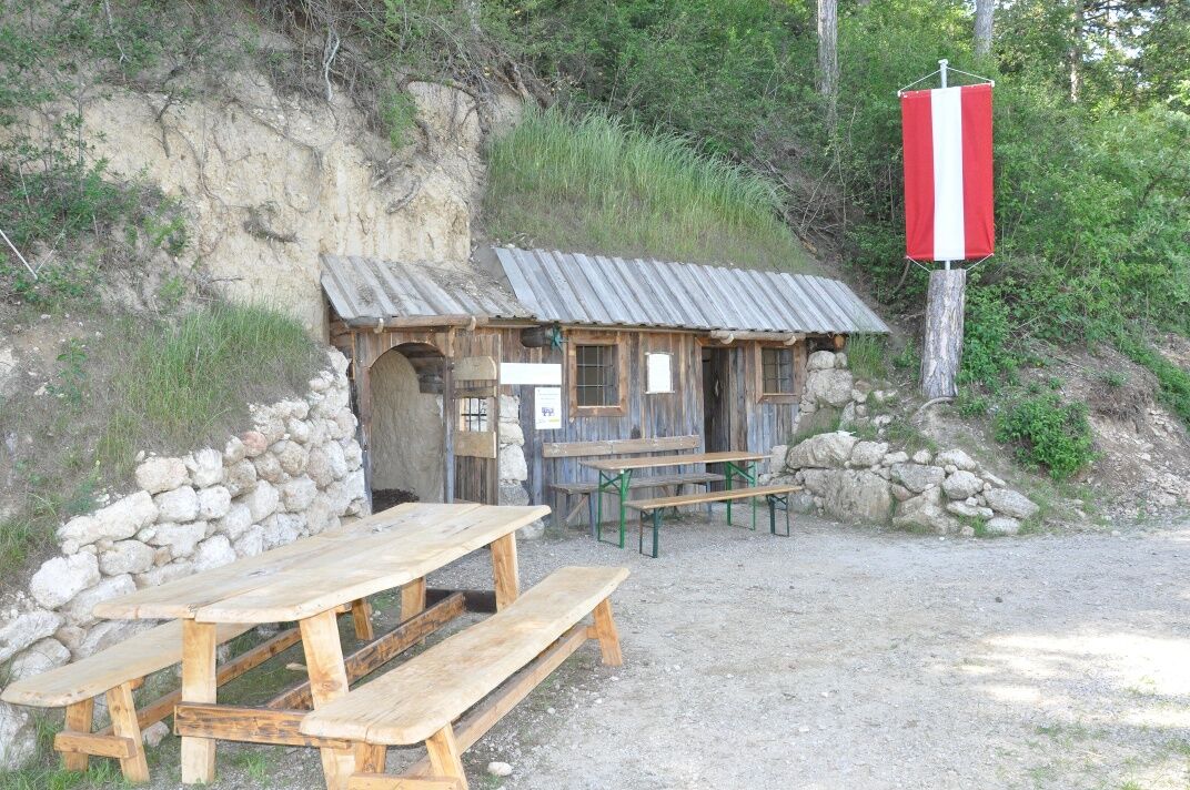
Municipal office Nußdorf Marktplatz 1 – Parapluiberg – Wohnhöhle – through the cellar lane to Reichersdorf – past the playground – towards Franzhausen (volleyball court) – back to Nußdorf
Signage: TUT GUT - hiking trail signage route 2 green
Good footwear, rain protection, and some provisions.
Good footwear!
Via the A1 motorway and the S33 to Nußdorf ob der Traisen - exit "Traismauer Süd".
By train to Traismauer or Herzogenburg and then by bus to Nußdorf ob der Traisen.
By bus from Vienna via Traismauer or from St. Pölten.
In front of the municipal office in Nußdorf or in the immediate vicinity.
Market town Nußdorf ob der Traisen: www.nussdorf-traisen.gv.at
Gasthaus Spannagl in Nußdorf: www.spannagl.at
Further tourism information, wine tavern calendar, etc. at: www.traisental.at
Good footwear, binoculars, camera, and plenty of leisurely time make this hike an experience.
Parcours populaires à proximité
-
4,5
Welterbesteig Wachau 01: Krems-Dürnstein
facileChemin de Grande Randonnée 12,3 km -
4,9
Vogelbergsteig -Kanzel- Fesselhütte - Ruine Dürnstein zum Heurigen in Furth
moyenRandonnée 7,59 km -
4,6
Krems (Welterbesteig) - Dürnstein - Vogelbergsteig - Kanzel - Fesslhütte - Krems
moyenRandonnée 18,0 km -
4,4
Wachauer Marillenerlebnisweg, Krems-Angern
facileRandonnée 6,04 km -
4,7
Circuit vin et eau vers la Kamptalwarte au Heiligenstein, n° 65
moyenRandonnée 9,93 km -
4,7
Weinweg Langenlois - wohin ? in und um Wien
facileRandonnée 5,68 km -
4,9
Smaragdeidechse Wachau
facileRandonnée 4,78 km -
4,4
Mammutbäume, Waxenberg und Göttweig
moyenRandonnée 12,1 km -
3,9
Über den Göttweiger Walderlebnisweg zu den Mammutbäumen
facileRandonnée 3,77 km -
4,6
Der Weinskulpturenpfad auf dem Unteren Loibenberg
facileRandonnée 4,03 km

Randonnée et suivi


Ne manquez pas les offres et l'inspiration pour vos prochaines vacances
Votre adresse électronique a été ajouté à la liste de diffusion.