


Nibelungengau long-distance hiking trail 2: Persenbeug - Marbach
Photos de nos utilisateurs
-
 © Franz SchönbichlerCréé le 28.12.2025
 -
 © Franz SchönbichlerCréé le 17.06.2025
 -
 © Franz SchönbichlerCréé le 17.06.2025
 -
 © Franz SchönbichlerCréé le 17.06.2025
 -
 © Franz SchönbichlerCréé le 17.06.2025
 -
 © Franz SchönbichlerCréé le 17.06.2025
 -
 © koessler elisabethCréé le 10.04.2025
 -
 © Hubert MartinCréé le 30.03.2025
 -
 © Hwg_3013Créé le 06.06.2025
 -
 © Hwg_3013Créé le 06.06.2025
 -
 © Martin SchagerlCréé le 19.08.2023
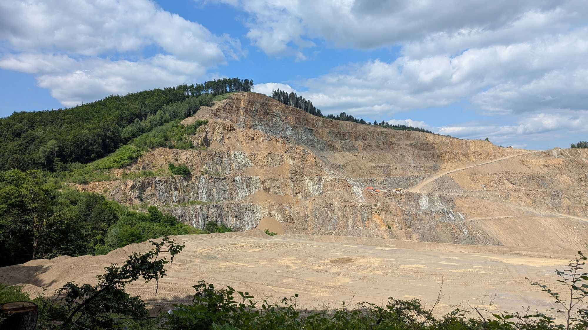
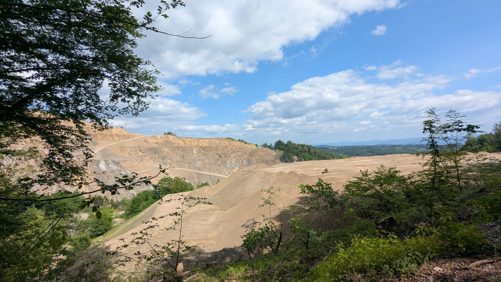


The stage starts at the Donaulände in Persenbeug and leads along the Danube downstream past Hagsdorf and Gottsdorf. After Metzling, the path goes uphill into the forest. You pass a quarry and follow the...
<p>The stage starts at the Donaulände in Persenbeug and leads along the Danube downstream past Hagsdorf and Gottsdorf. After Metzling, the path goes uphill into the forest. You pass a quarry and follow the forest road further uphill through the forest. Upon reaching the highest point, the path goes downhill through the forest towards the village. You walk past the harbor to the ship landing stage in Marbach.</p>

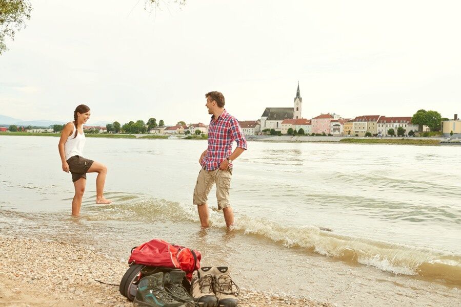
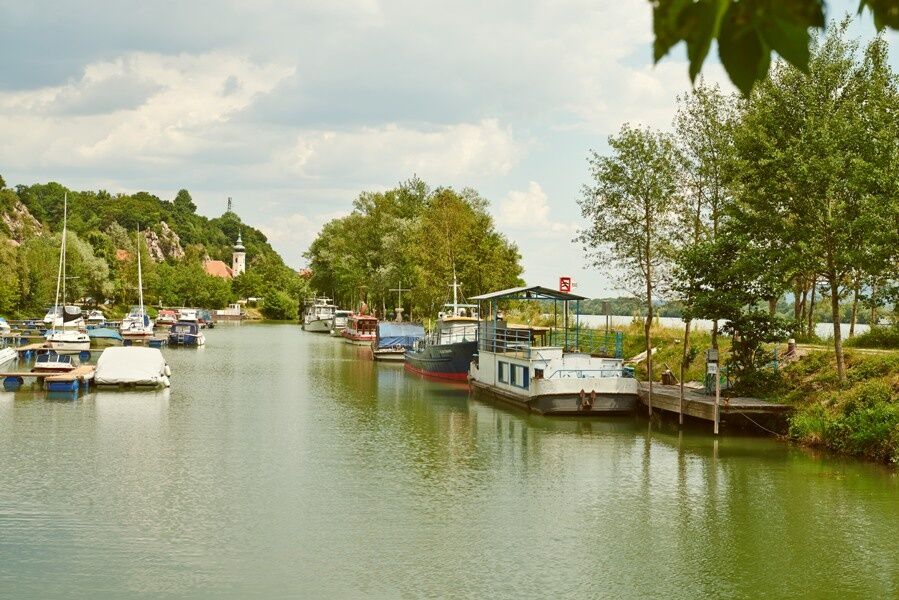
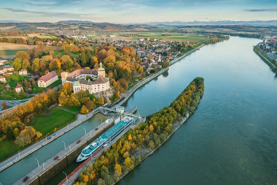
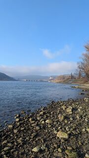
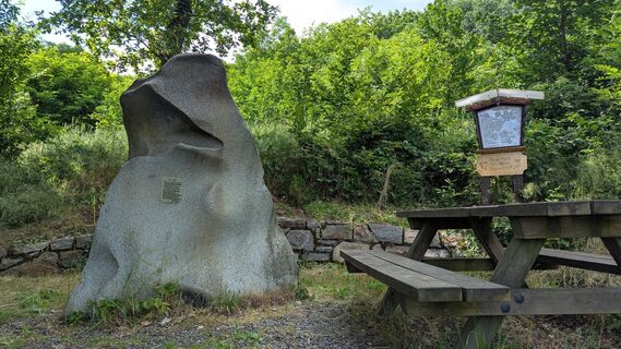
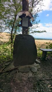
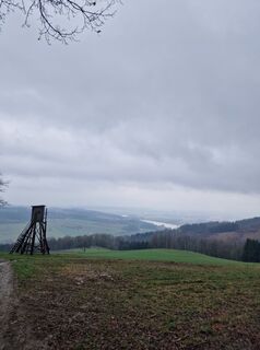
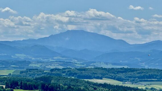
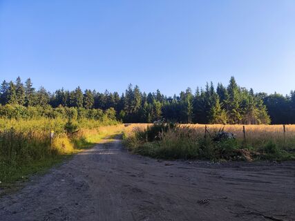
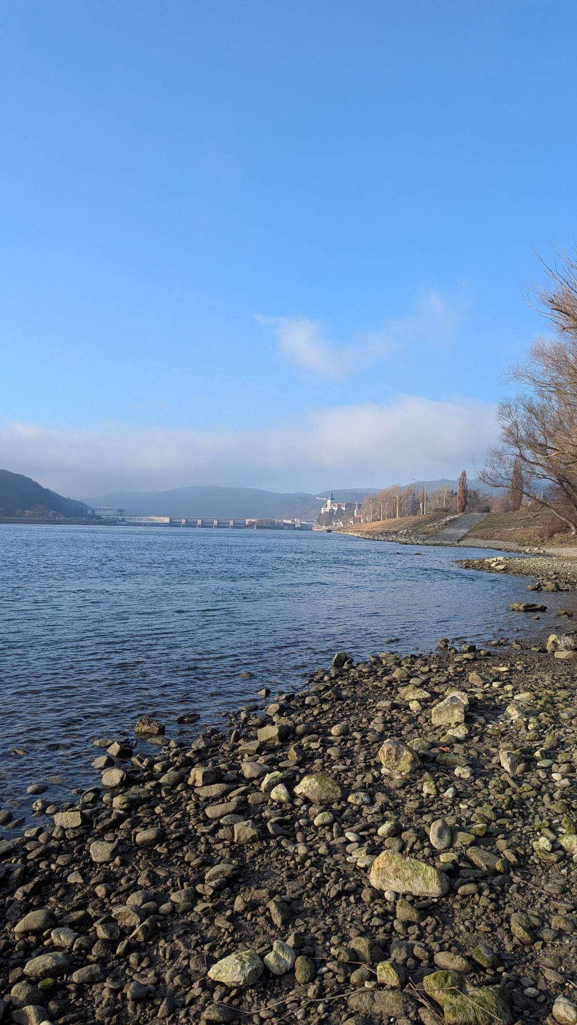
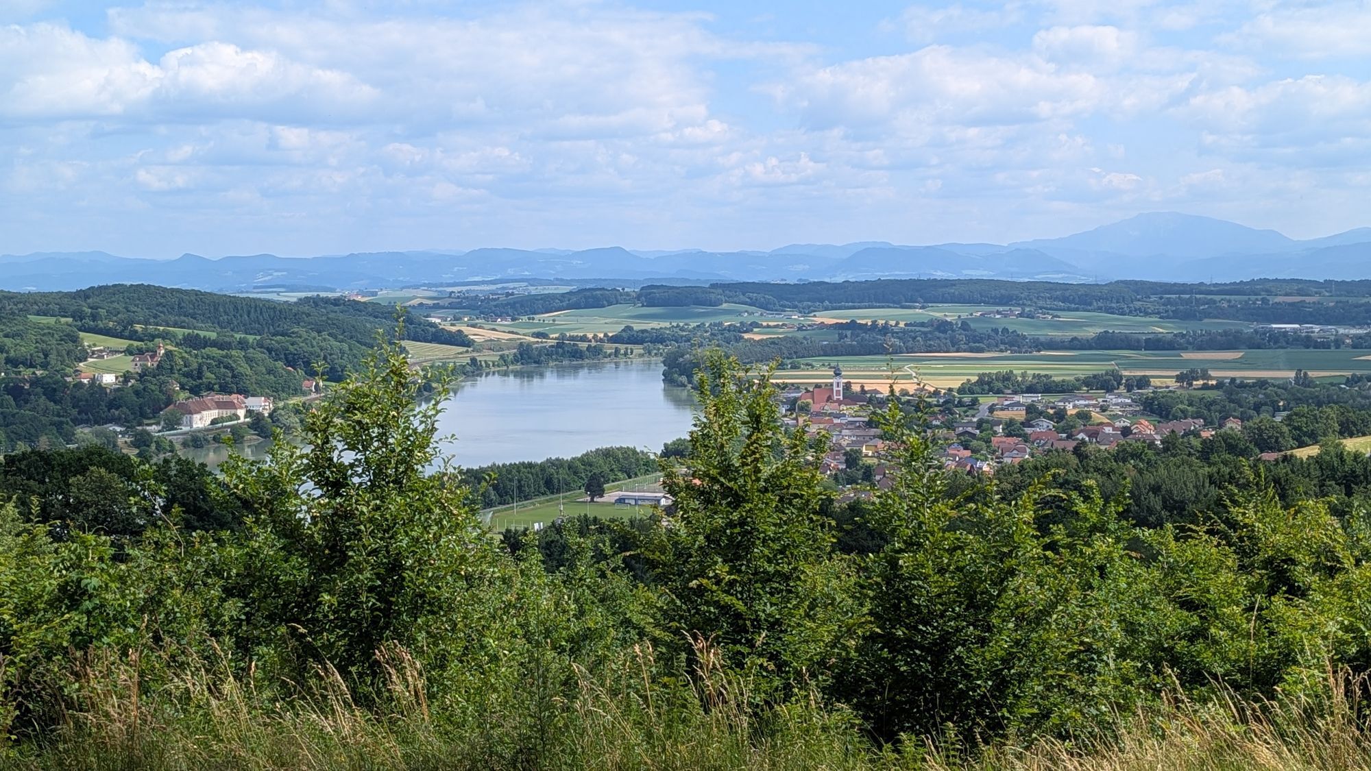
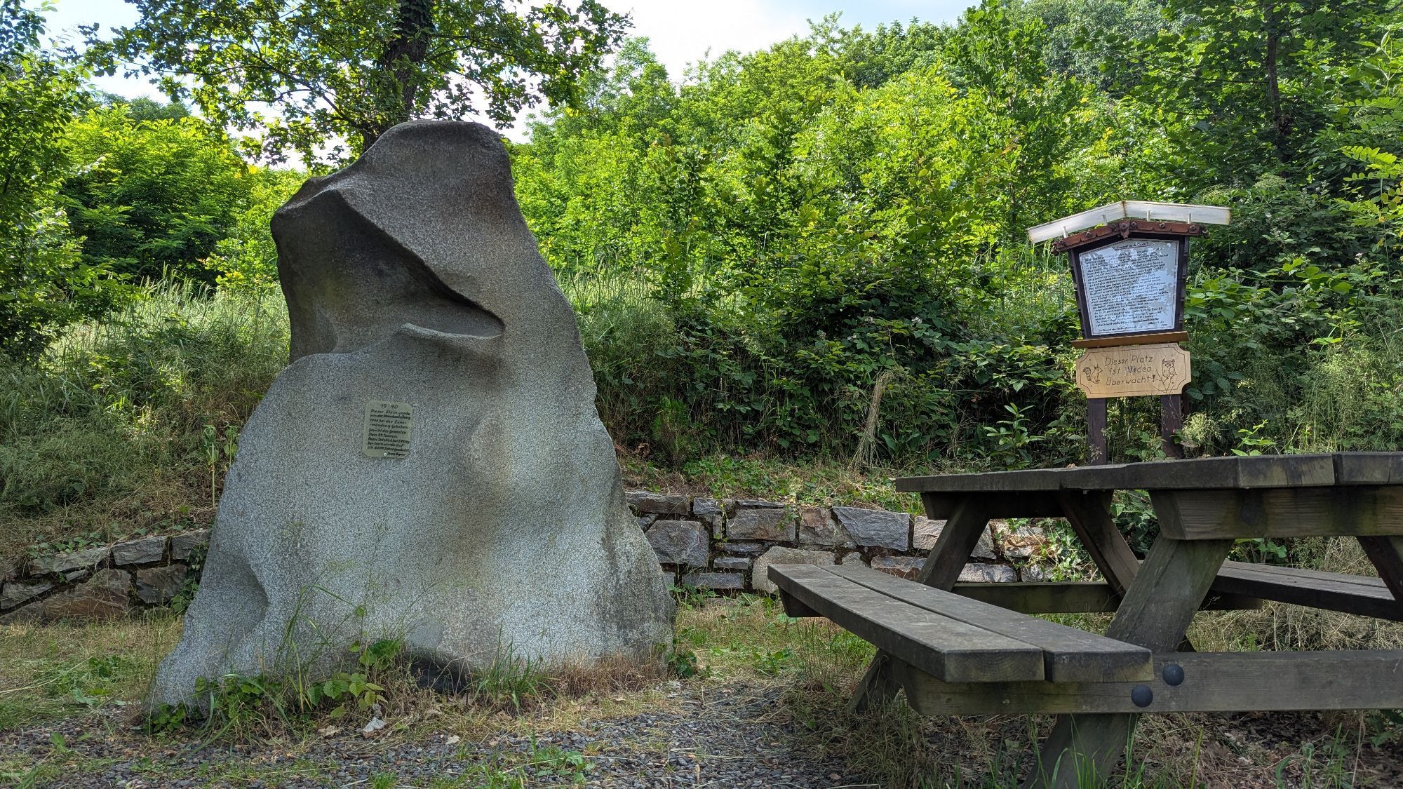
<p>The stage starts at the panorama board of the Donaulände in Persenbeug and leads directly along the Danube downstream. Beautiful views of the Ybbs-Persenbeug Danube power plant and Ybbs on the Danube accompany you to Hagsdorf and Gottsdorf. At Metzling, the path leads uphill into a forested area offering wide views of the Danube valley and the Nibelungengau. Enjoy the panorama with a break at the Naturfreundestein in Rosenbichl. You then pass a quarry and follow the forest road further uphill through the forest. Along the route, there are quiet spots to rest in untouched nature. Upon reaching the highest point - at Hirschensprung - the path goes downhill again through the forest to Kracking. Enjoy the magnificent panoramic views towards Maria Taferl and the Nibelungengau. You continue hiking through the village to Marbach, past the harbor to the panorama board at the ship landing stage where the stage ends.</p>
<p>Hiking boots, backpack, hiking map and/or mobile tour planner, weatherproof clothing (e.g. rain protection), head covering, sun protection, first aid kit, possibly flashlight, sufficient provisions (water, snacks)
</p><p>A comprehensive equipment list can be found here.</p>
<p>Please note the following tips and advice to make your hiking holiday a wonderful experience:<br />· Stay on the marked paths.<br />· Wear mountain/hiking boots.<br />· Use hiking poles.<br />· Rainwear is always advisable.<br />· Take the hiking map with you.<br />· Carry enough drinking water.<br />· Please do not leave your rubbish on the path.<br />· Respect the sensitive habitats of plants and animals.
</p><p>We want to inform you that mountain biking and horse riding on the Nibelungengau long-distance trail are generally prohibited in the forest and on private forest roads. Walking/using the suggested routes is at your own risk and responsibility.</p>
<p>You can reach Persenbeug via the A1 West Motorway, exit Ybbs, along Federal Road B25 towards Ybbs, through Ybbs over the Ybbs-Persenbeug Danube bridge, keep right towards Persenbeug.</p><p>From Grein or Krems, the Wachauerstraße (B3) leads directly into the community.</p>
<p>Travel with ÖBB to the train stop Ybbs/Kemmelbach at <a href="www.oebb.at">timetable inquiry</a>. From the station, you can reach Persenbeug by Postbus/Verkehrsbetriebe Ybbs. Further information on bus schedules can be found <a href="www.ybbs.gv.at/verkehrsanbindung/&quo... recommend traveling by car, as public transport does not cover continuous connections.</p>
<p>Parking is available at the Donaulände in Persenbeug or at the ship landing stage in Marbach.</p>
For easy and convenient planning of the routes, the Wachau-Nibelungengau-Kremstal app is recommended. Simply download for Android or iPhone.
Excursion tips along the route:
Bathing lake in Persebeug-Gottsdorf
Other dining options along the route:
Persenbeug-Gottsdorf and Marbach
Further sights in the Nibelungengau:
Visitor power plant Ybbs-Persenbeug, Peace Museum Erlauf, Oskar Kokoschka Center Pöchlarn, Europaschloss Leiben, Artstetten Castle, Maria Taferl Basilica
ATTENTION: please note possible changed opening hours of attractions and the associated measures!
Events and happenings in the Nibelungengau region and surroundings can be found here. Please note: many events are cancelled in 2020!
All available promotional materials for the Nibelungengau can be found here or browse online through the Nibelungengau travel guide.
On this stage, you mostly hike through quiet, shady forest areas, away from hustle and bustle. Enjoy the magnificent views of the Danube valley and the Nibelungengau in all its glory: during a break at the Naturfreundestein in Rosenbichl or in Kracking near Marbach. The bathing lake in Persenbeug-Gottsdorf offers refreshing cooling on hot summer days. The Donaulände in Persenbeug and Marbach invite you to linger.
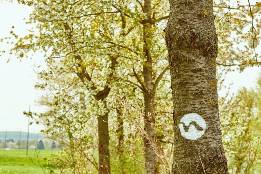
The Nibelungengau long-distance hiking trail is signposted and walkable in both directions.
Event highlight in the Nibelungengau:
Combine your hiking holiday with the solstice celebration "Fire Magic in the Nibelungengau" in June. Celebrate on the bank of the Danube in one of the Nibelungengau communities or aboard a ship.
Parcours populaires à proximité
-
4,6
Waldhausen : circuit panoramique
moyenRandonnée 14,0 km -
4,5
Ausgedehnte Peilsteinrunde
moyenRandonnée 13,7 km -
4,5
Purgstall Route 3 entlang der Erlauf und Umgebung
facileRandonnée 12,5 km -
4,4
Durch die Steinwandklamm von Maria Taferl aus
facileRandonnée 8,26 km -
4,9
Erlaufschlucht
facileCanyoning 4,58 km -
4,9
LAIMBACH Ostrong Peilstein 20220716
moyenRandonnée 7,70 km -
4,9
Herzsteinweg Ysper und Burgsteinmauer
moyenRandonnée 14,7 km -
5,0
Castle stone wall 975m - Variant a
moyenRandonnée 5,26 km -
4,7
Sulzberg-Strecke
moyenVTT 29,4 km -
4,7
Kaiser-Strecke
VTT 29,0 km

Randonnée et suivi


Ne manquez pas les offres et l'inspiration pour vos prochaines vacances
Votre adresse électronique a été ajouté à la liste de diffusion.