


Long-distance trail Kremstal-Donau 09: Langenlois - Lengenfeld
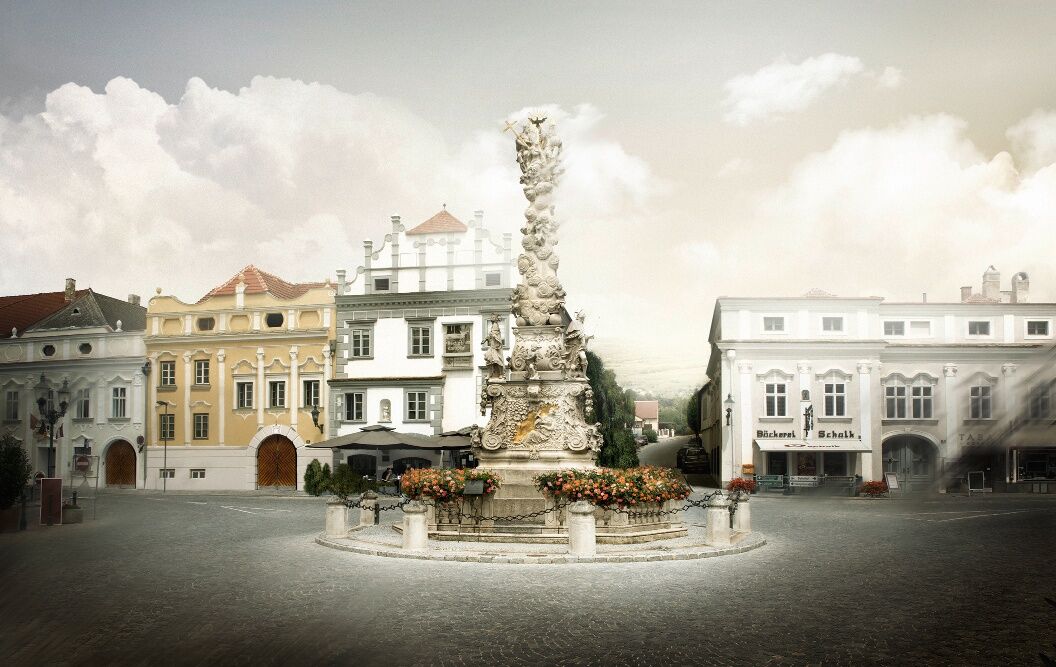
The hiking stage Langenlois – Lengenfeld starts directly in the town center of the wine town Langenlois. It is already worth a short stay there. After all, the comprehensive range of wine and tourism on...
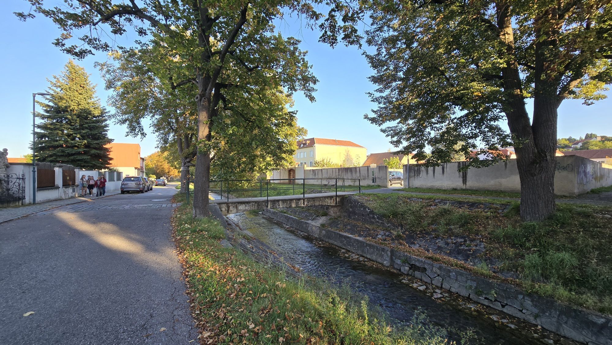
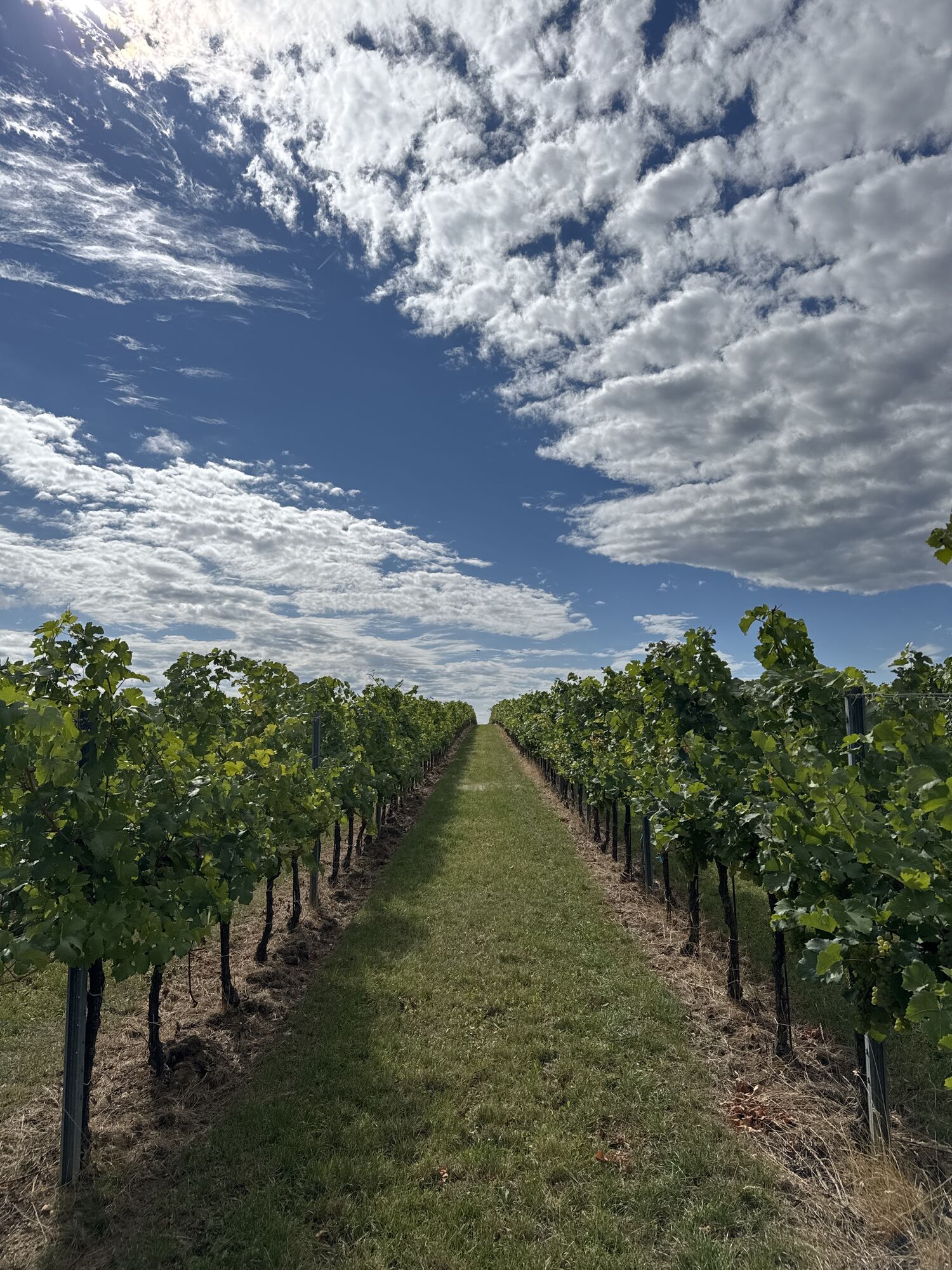
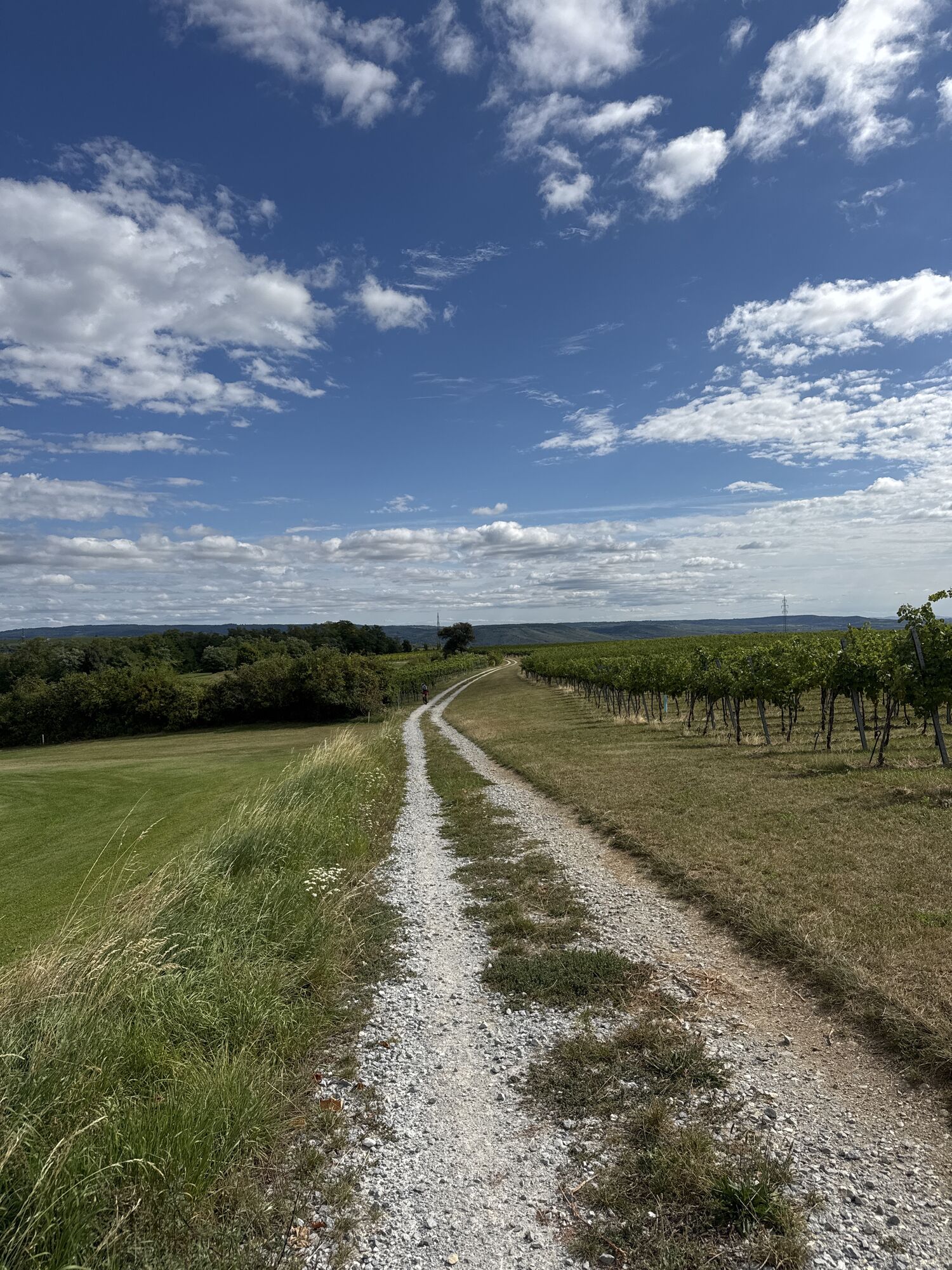
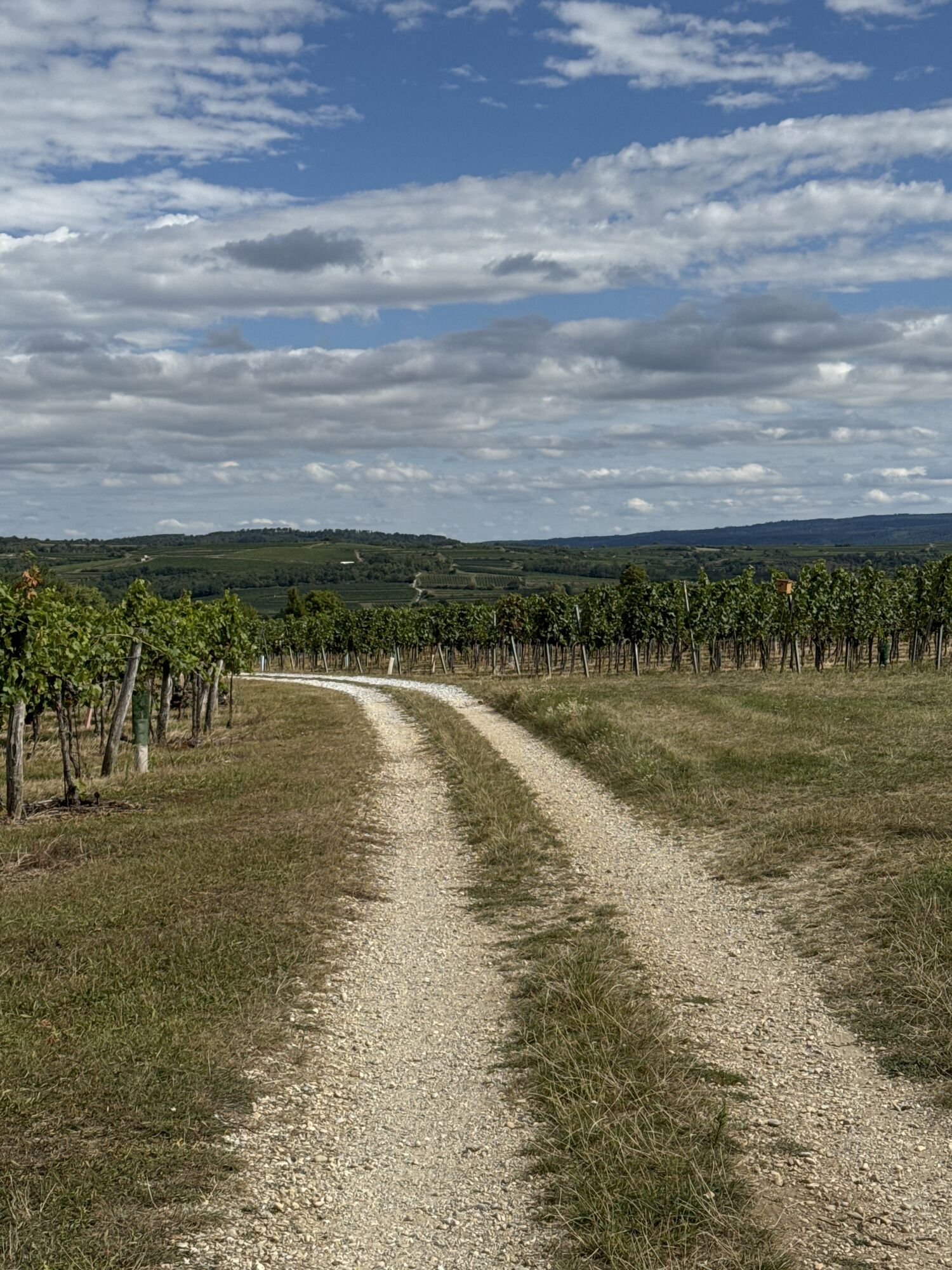
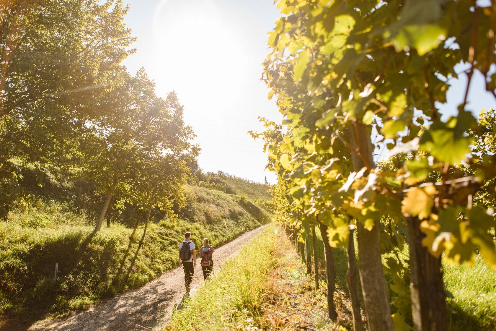
<p>The hiking stage Langenlois – Lengenfeld starts directly in the town center of the wine town Langenlois. It is already worth a short stay there. After all, the comprehensive range of wine and tourism on site promises interesting insights – for example in the LOISIUM WineWorld & Vinothek or also in the Ursin Haus Vinothek & Tourism Information. To the west, the stage continues over forest and meadows, past impressive vineyards. Across the Loisbach and further over the Kuckuckberg, it finally leads to the destination Lengenfeld. The magnificent parish church in the town center and the fairytale-like castle Lengenfeld provide an impressive finish in picturesque nature. In one of the numerous Heurigen or in the Lengenfeld cellar lane, you can also lean back and relax after the successful hike.</p>

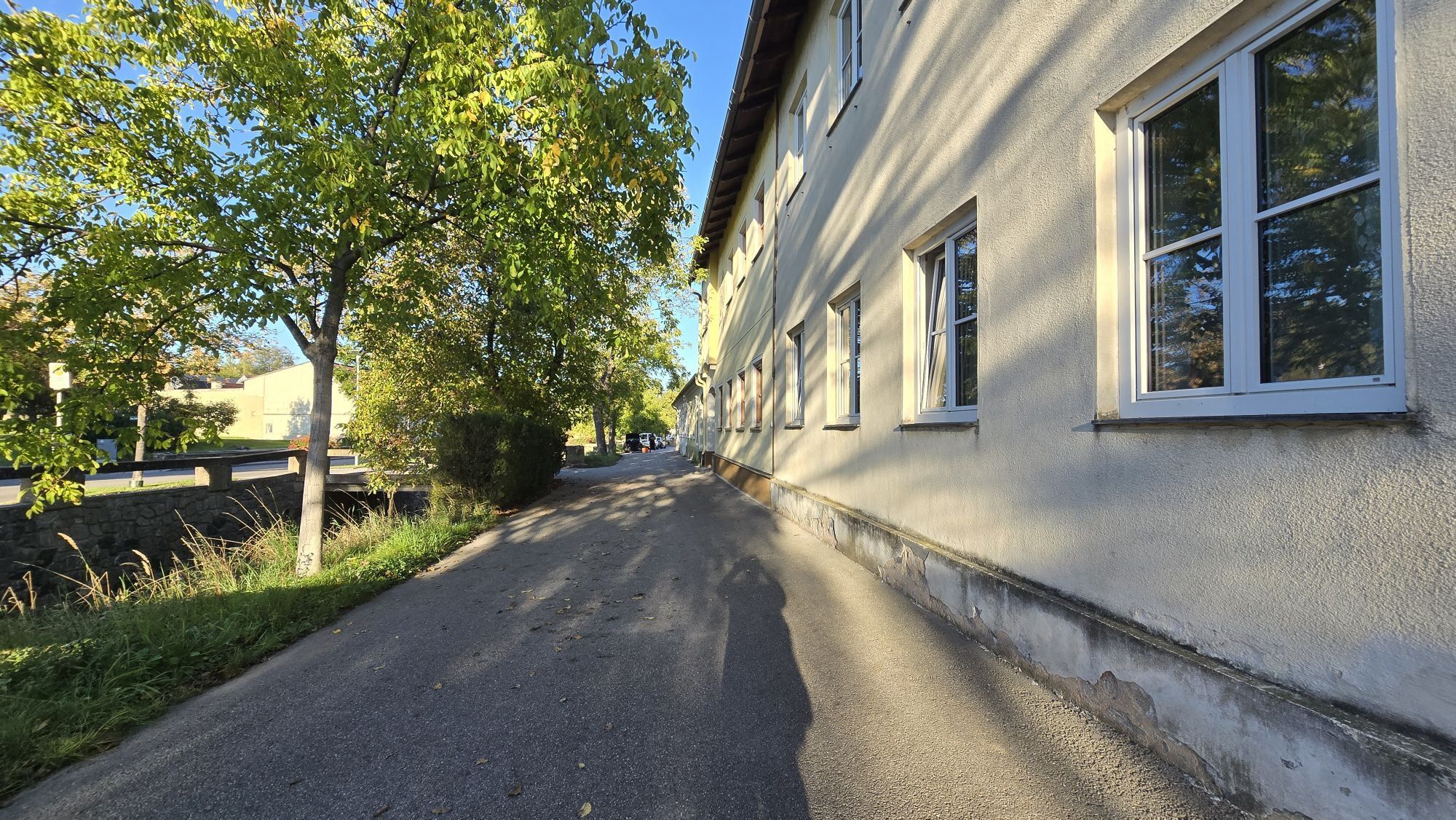
<p>From the center of Langenlois, we start westward into the Loiskandlzeile, which leads us out of town. In Zwettler Straße, we take the first footbridge over the Loisbach and hike on the right side of the stream up to just before the Nikolauskirche, where we turn left into Kühsteingraben. Gradually ascending, we hike up the Kuckuckberg. There we reach the golf course (36-hole golf facility) of Lengenfeld and bypass it on the southern side. (Caution, in the western section the hiking trail leads down through the golf course, here special caution is required during golf operation). At the bottom, we reach the fire station of Lengenfeld and then the town center.</p>
Hiking bootsBackpackWeatherproof clothing (e.g. rain protection)HeadgearSun protectionSufficient provisions (water, snack)Hiking map long-distance trail Kremstal-Donau and/or mobile route planner
<p>Please observe the following tips and notes so that your hiking holiday becomes a</p><p>beautiful experience:</p>Stay on the marked paths and wear hiking/mountain bootsPlease do not leave your trash on the trailBring sufficient provisions (water/snack) with youTake the hiking map with you or use the free hiking appRespect the sensitive habitats of plants and animals<p> The use of the suggested routes is at your own risk and responsibility.</p>
<p>From Vienna: Danube bank motorway A22 towards Stockerau, then on the S5 towards Krems to the Fels am Wagram exit and on the B34 to Langenlois</p><p>From the west: West motorway A1 towards Vienna to St. Pölten, continue on the S33 and B37 to Krems and on the B218 to Langenlois</p>
<p>By train and bus. All information on timetables and prices in the eastern region at www.vor.at or in the route planner VOR A to B, VOR app.</p><p>From Vienna: take the Franz-Josefs-Bahn to Hadersdorf, transfer there to Langenlois.</p><p>From the west: Westbahn to St. Pölten, transfer there to Krems, continue via Hadersdorf to Langenlois or alternatively from St. Pölten to Langenlois by bus.</p><p><a href="www.vor.at/fahrplan/">Public transport timetable Eastern Region VOR</a></p><p><a href="fahrplan.oebb.at/bin/query.exe/dn&quo... timetable</a></p>
Parking lot P2 center: free and unlimited parking directly on KamptalstraßeParking in front of Ursin Haus: free short-term parking zone (Monday – Friday 7 a.m. – 12 p.m. and 2 p.m. – 6 p.m., Saturday 7 a.m. – 12 p.m.; parking maximum 90 minutes). Parking meter required
All information about the stages can be found at www.kremstal.at . The "Kremstal-Donau long-distance hiking trail" hiking map can be requested free of charge from Donau NÖ Tourismus GmbH by telephone on 02713-30060-60 or downloaded from the brochure shop at www.donau.com/brochure will.
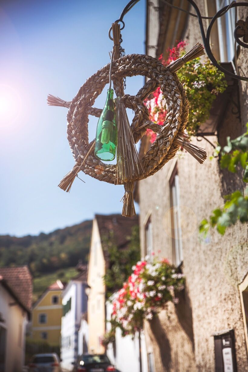
„Ausg’steckt is“ – in Lengenfeld all year round! Cozy cellars and Heurigen establishments invite you to linger. When and where aus'gsteckt is' can be found in the Heurigen calendar!
Parcours populaires à proximité
-
4,5
Welterbesteig Wachau 02: Dürnstein-Weißenkirchen
facileChemin de Grande Randonnée 15,9 km -
4,5
Welterbesteig Wachau 01: Krems-Dürnstein
facileChemin de Grande Randonnée 12,3 km -
4,9
Vogelbergsteig -Kanzel- Fesselhütte - Ruine Dürnstein zum Heurigen in Furth
moyenRandonnée 7,59 km -
4,7
Rundhöhenwanderweg Weißenkirchen in der Wachau - Schildhütten - Cholerakreuz - Weißenkirchen
facileRandonnée 8,75 km -
4,6
Krems (Welterbesteig) - Dürnstein - Vogelbergsteig - Kanzel - Fesslhütte - Krems
moyenRandonnée 18,0 km -
4,5
Panoramaweg Weissenkirchen
facileRandonnée 5,04 km -
4,4
Wachauer Marillenerlebnisweg, Krems-Angern
facileRandonnée 6,04 km -
4,7
Circuit vin et eau vers la Kamptalwarte au Heiligenstein, n° 65
moyenRandonnée 9,93 km -
4,8
Wachau: Panoramaweg Rossatz
facileRandonnée 10,8 km -
4,7
Weinweg Langenlois - wohin ? in und um Wien
facileRandonnée 5,68 km
Randonnée et suivi


Ne manquez pas les offres et l'inspiration pour vos prochaines vacances
Votre adresse électronique a été ajouté à la liste de diffusion.