







Circular hiking route Hundsheimer Berg - start Hainburg/Donau
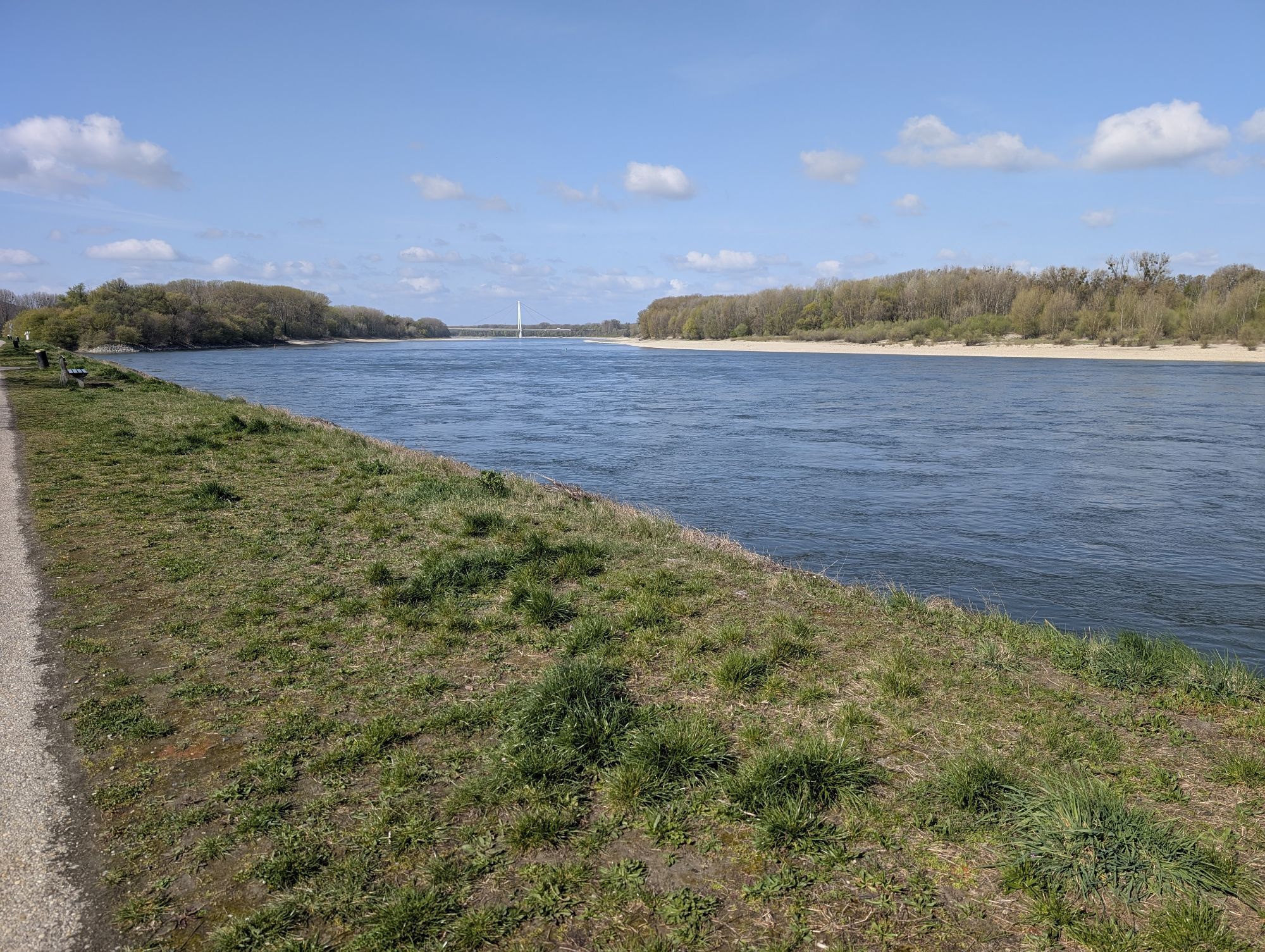
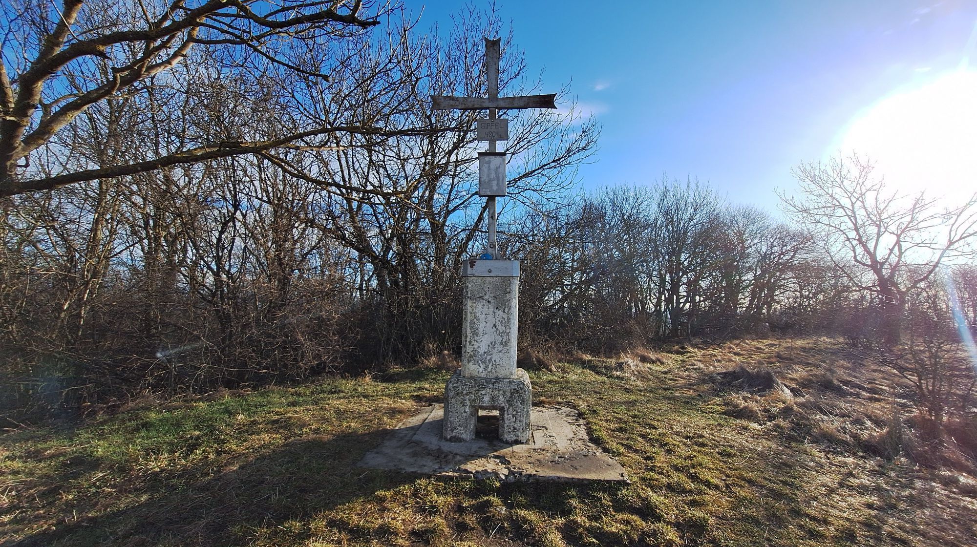
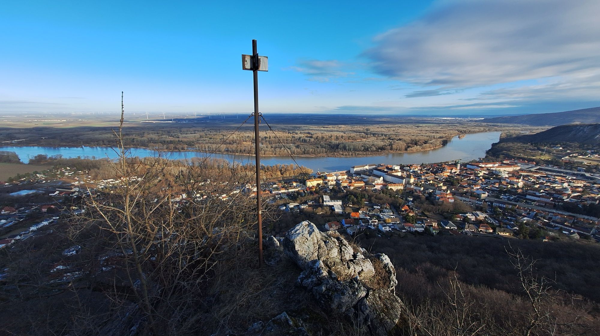
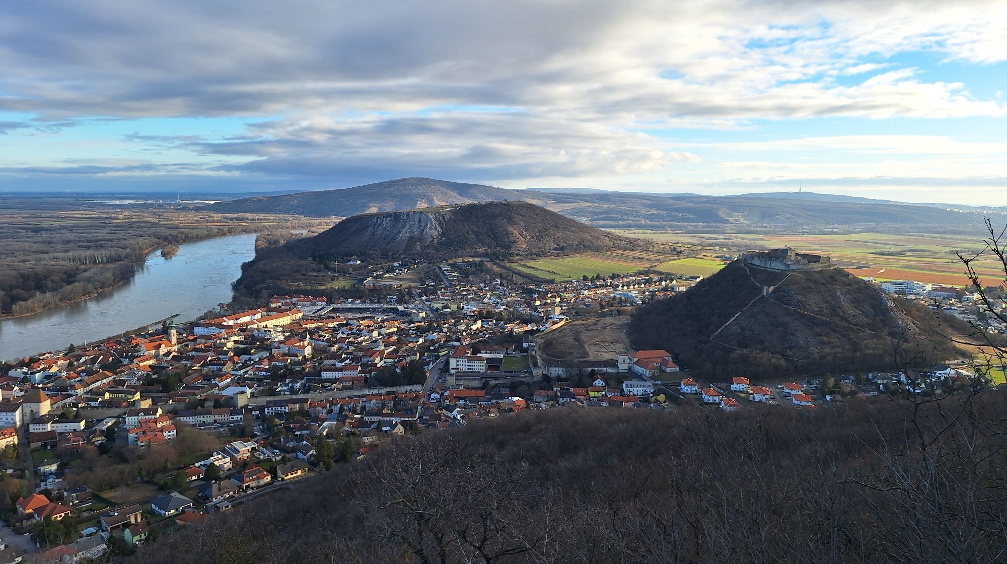
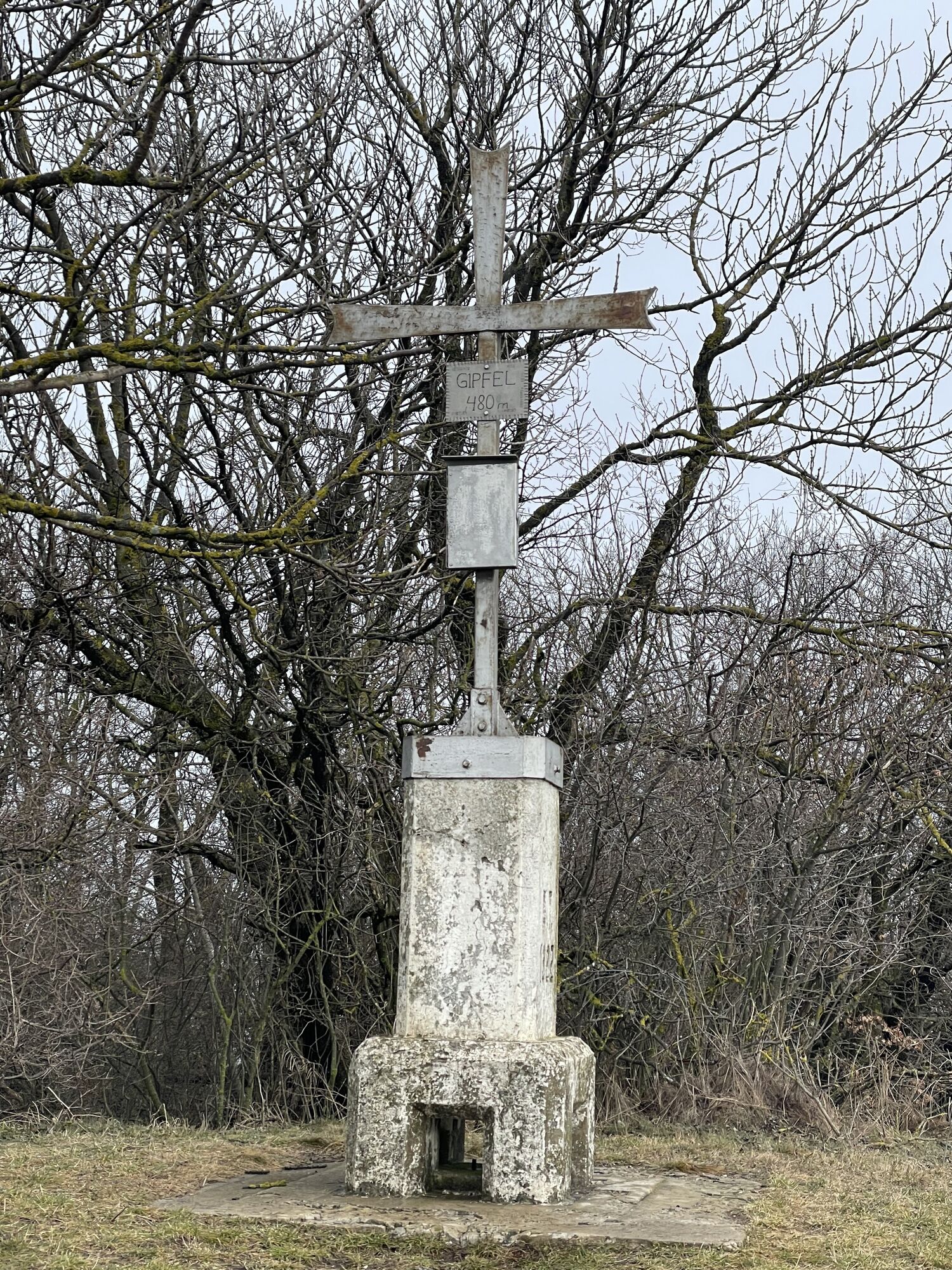
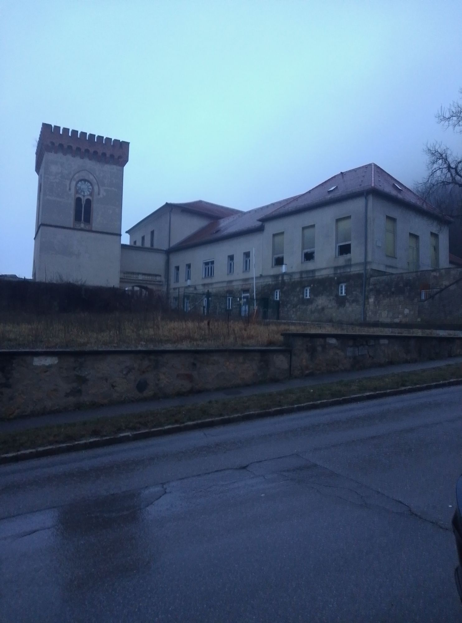
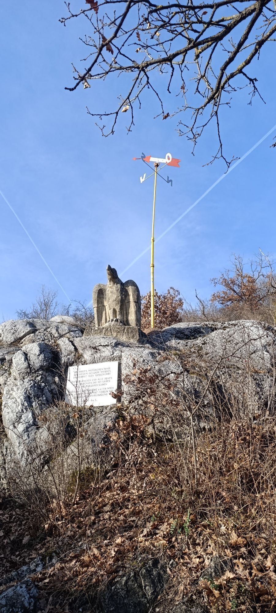
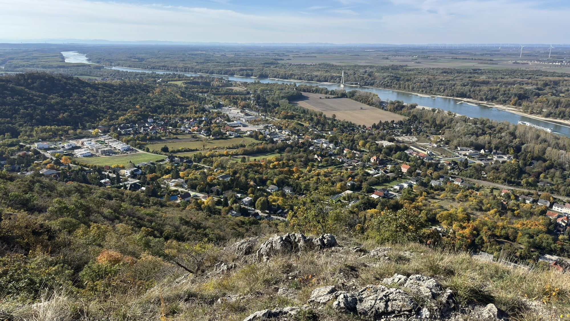
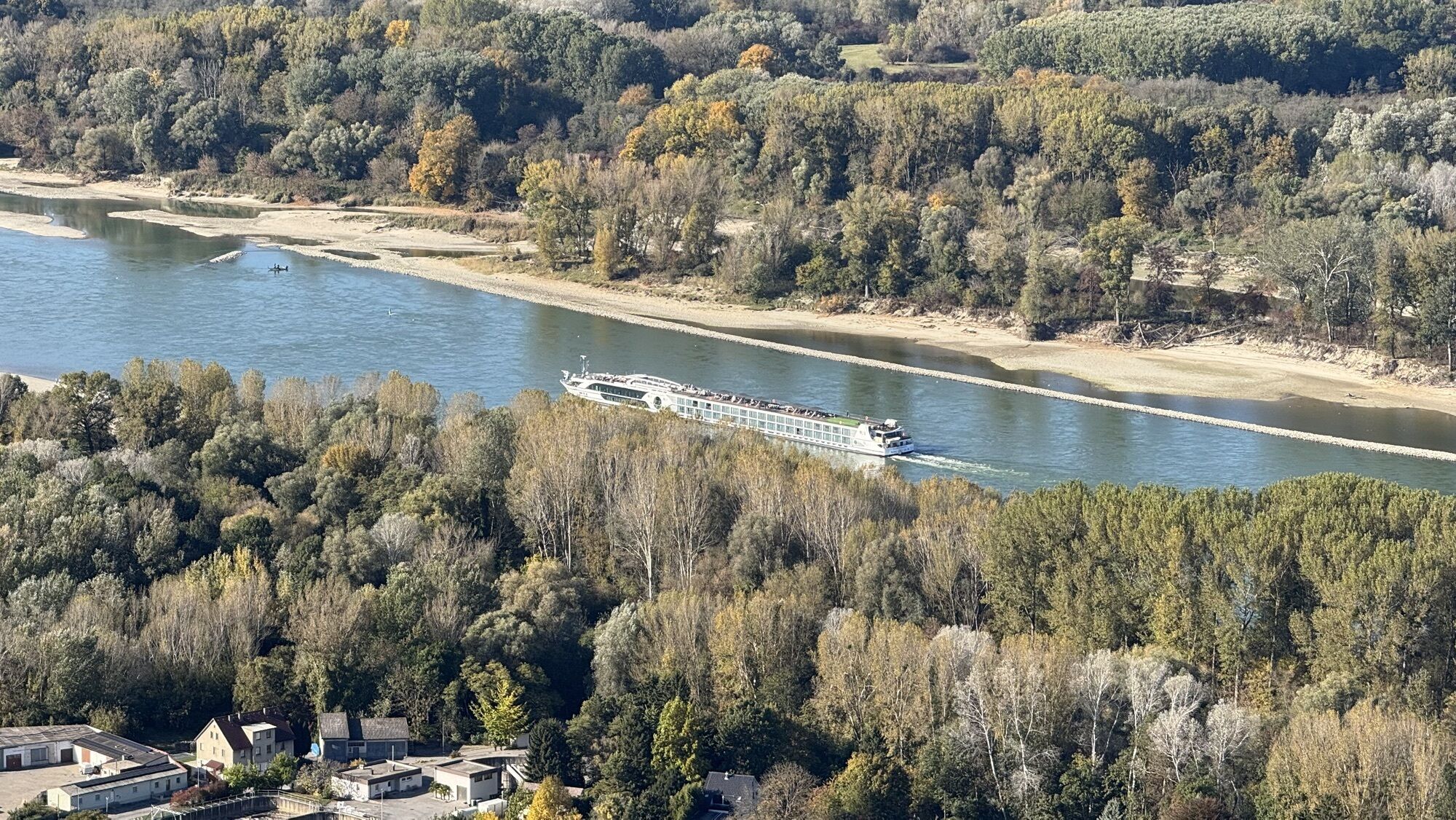
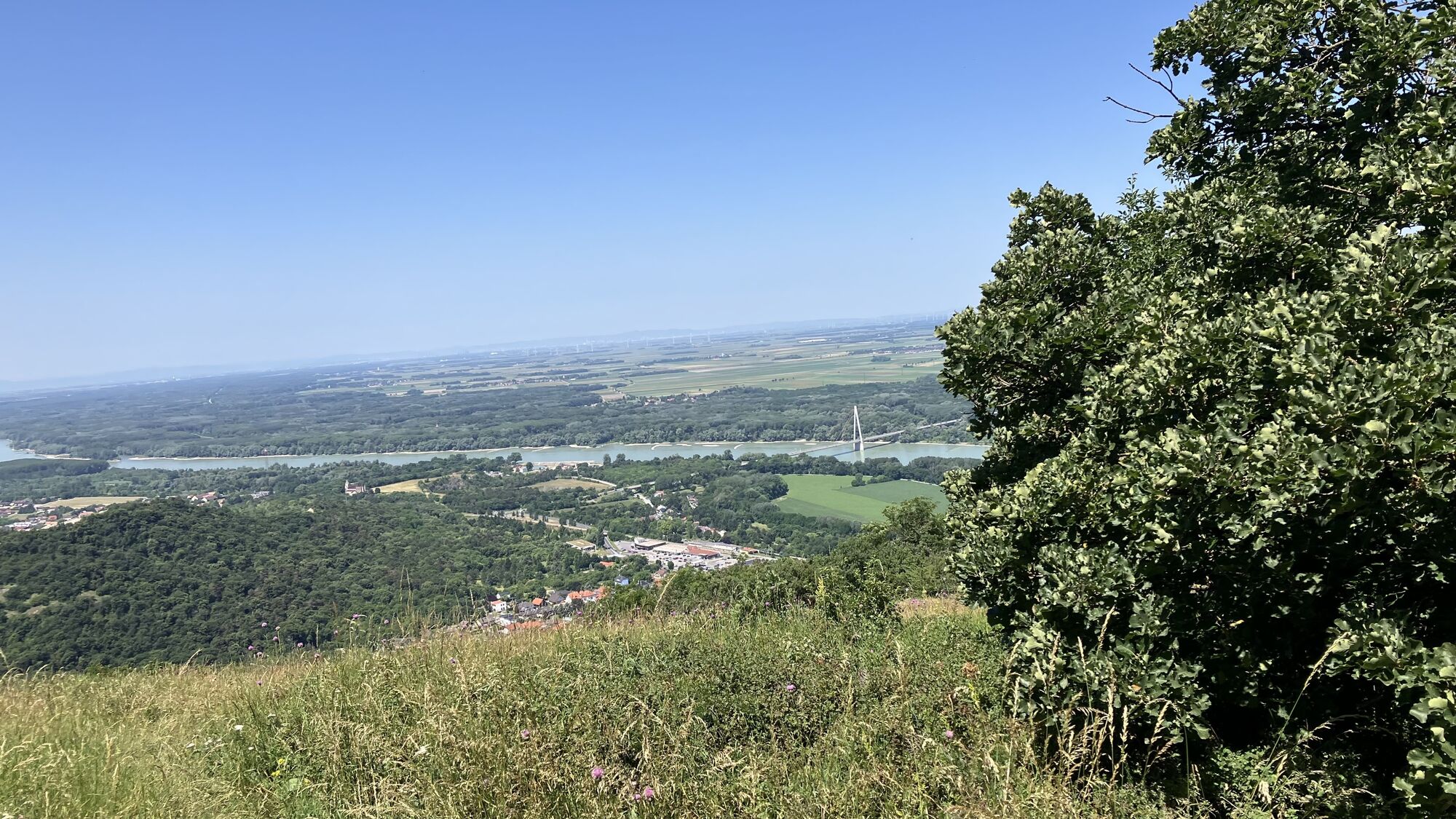
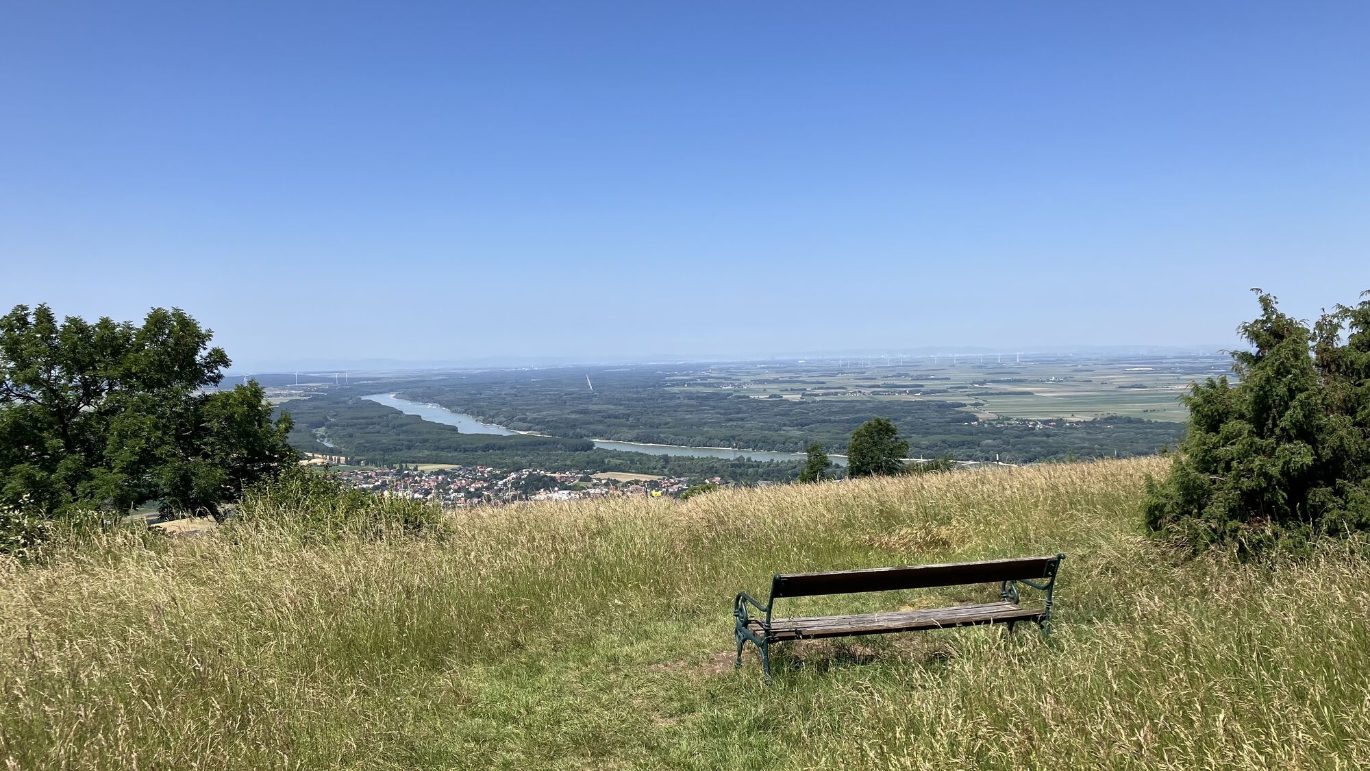
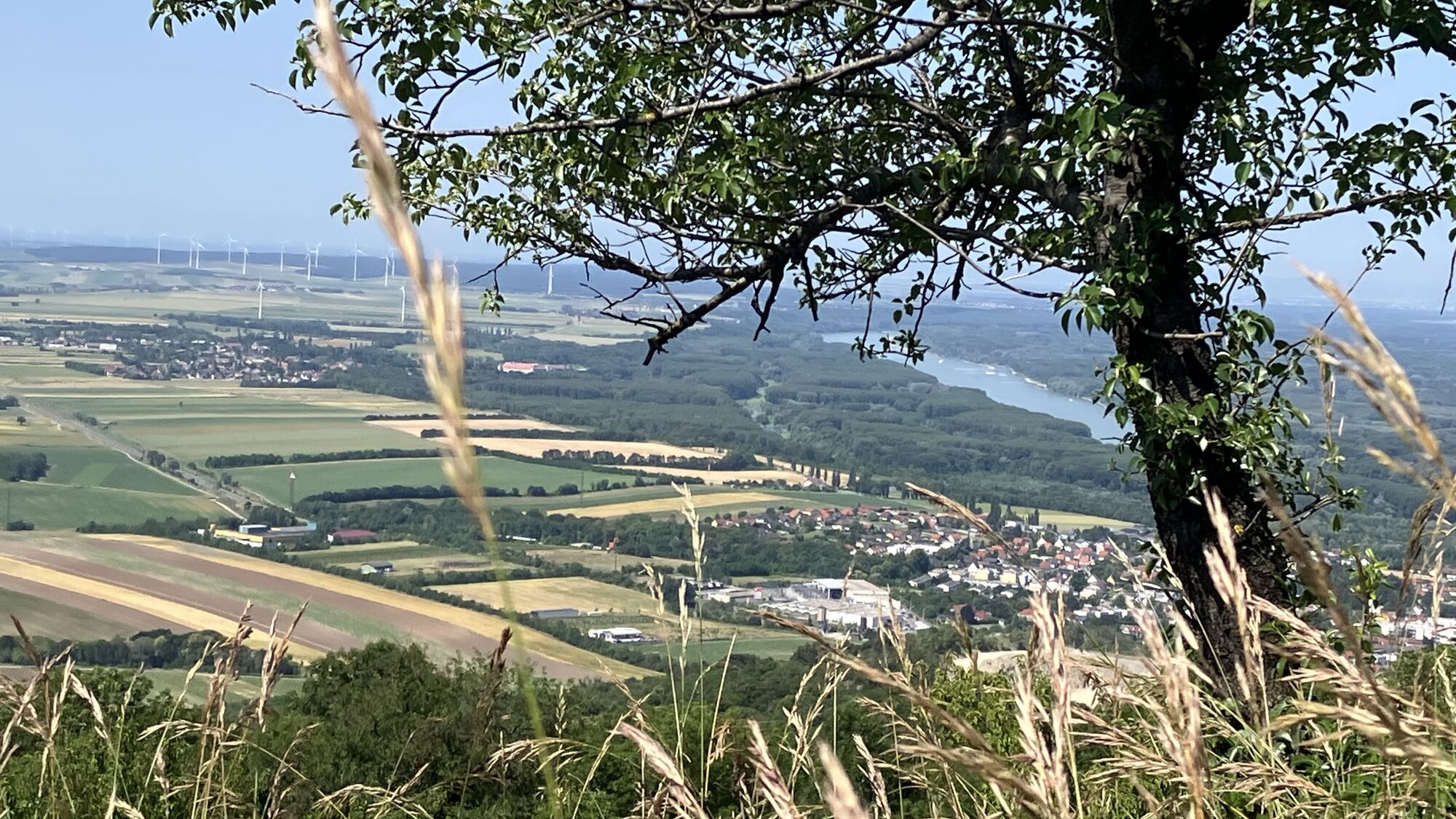
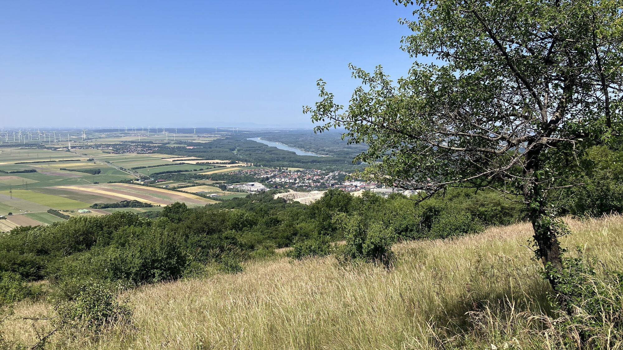

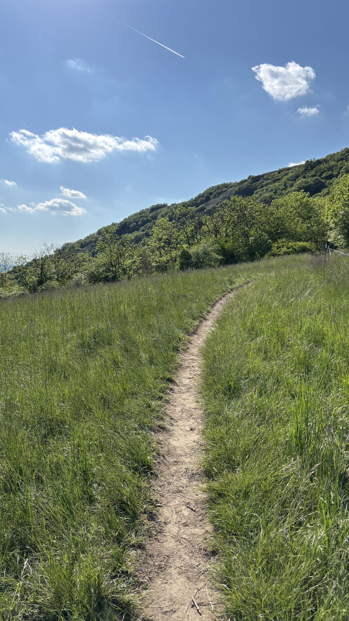
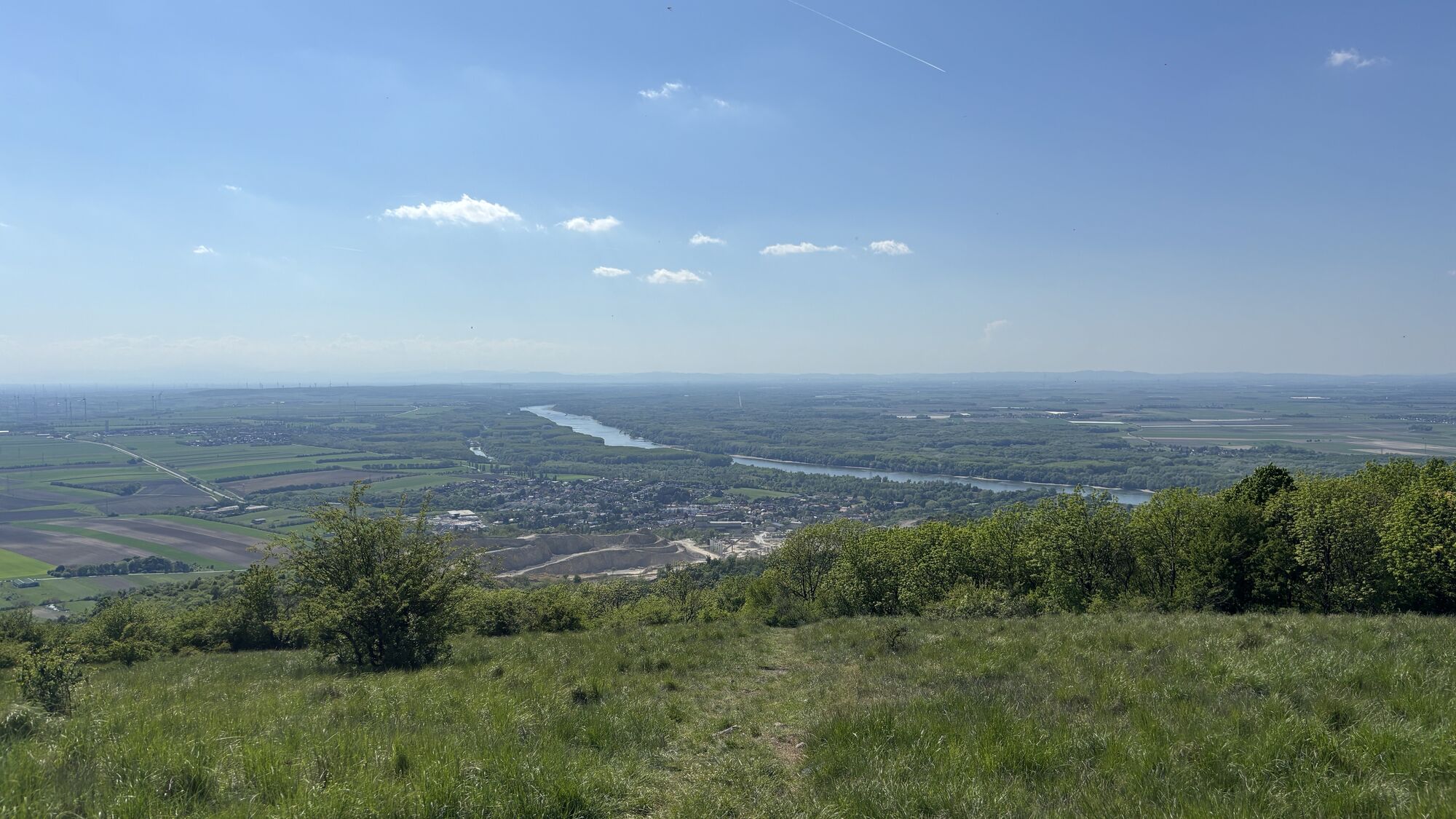
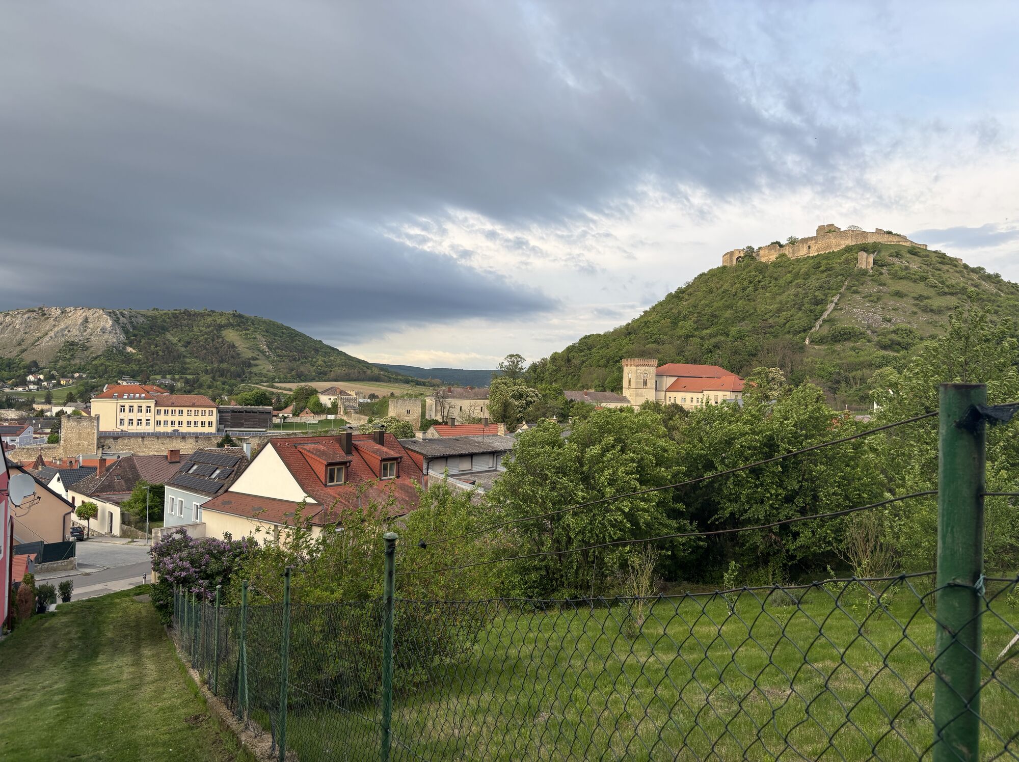
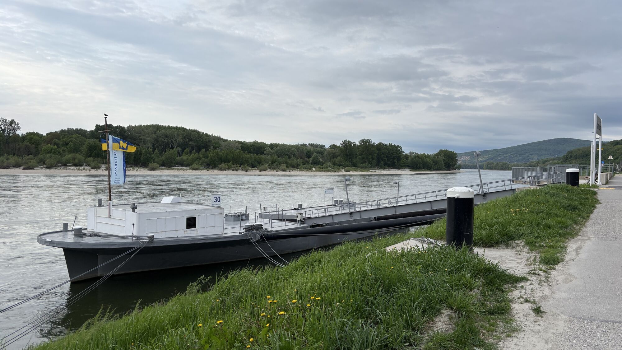
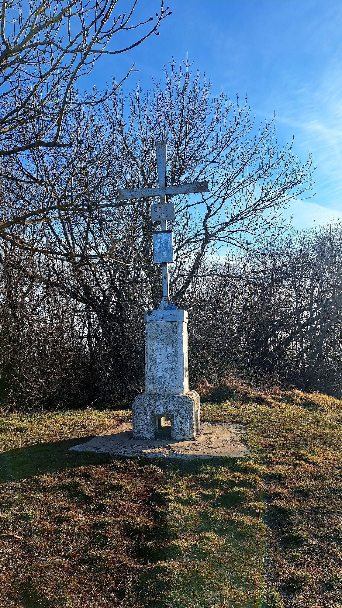
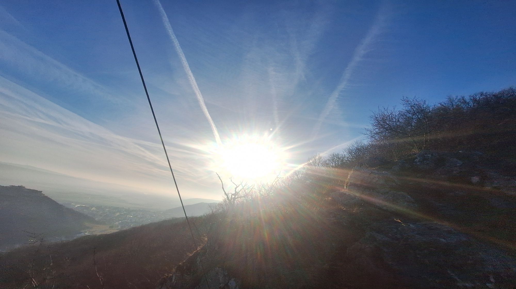
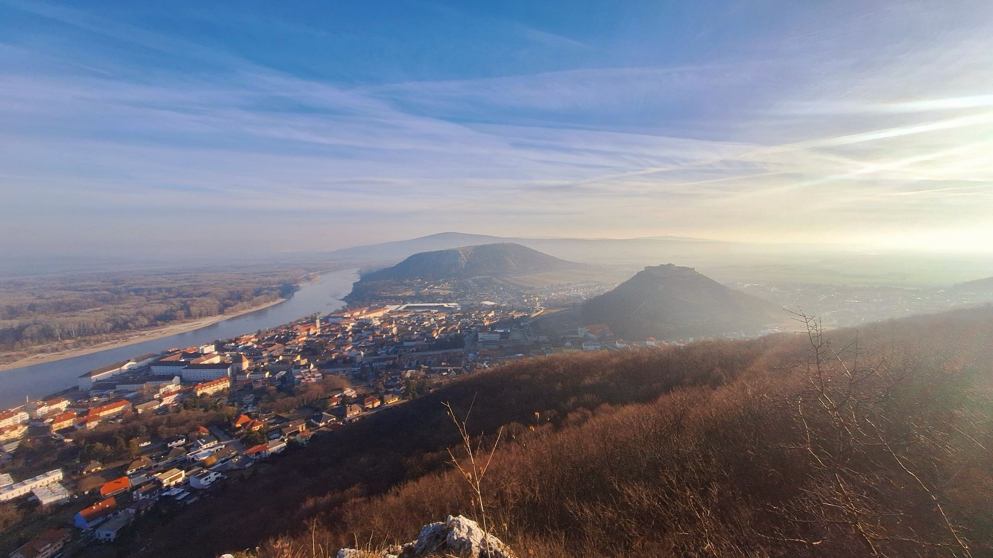
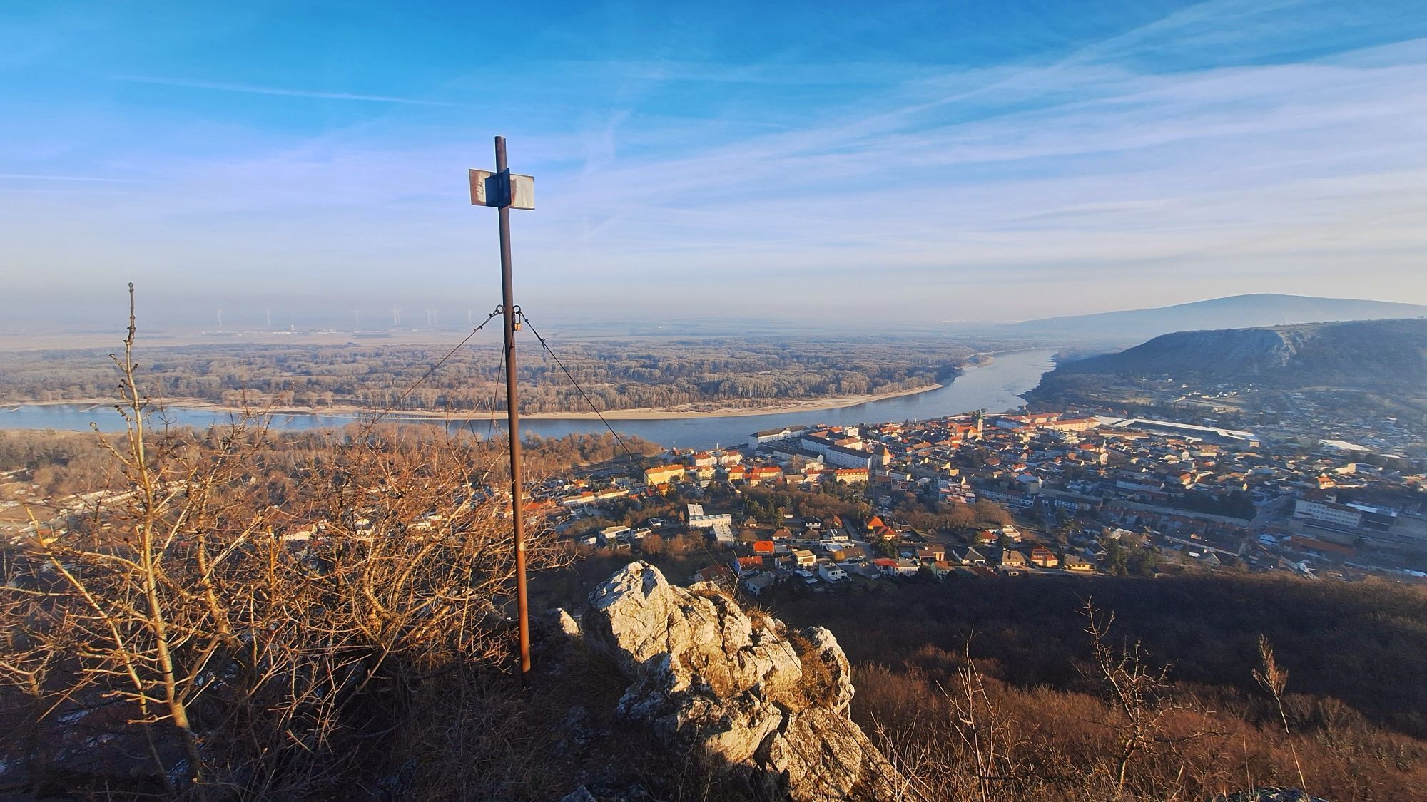
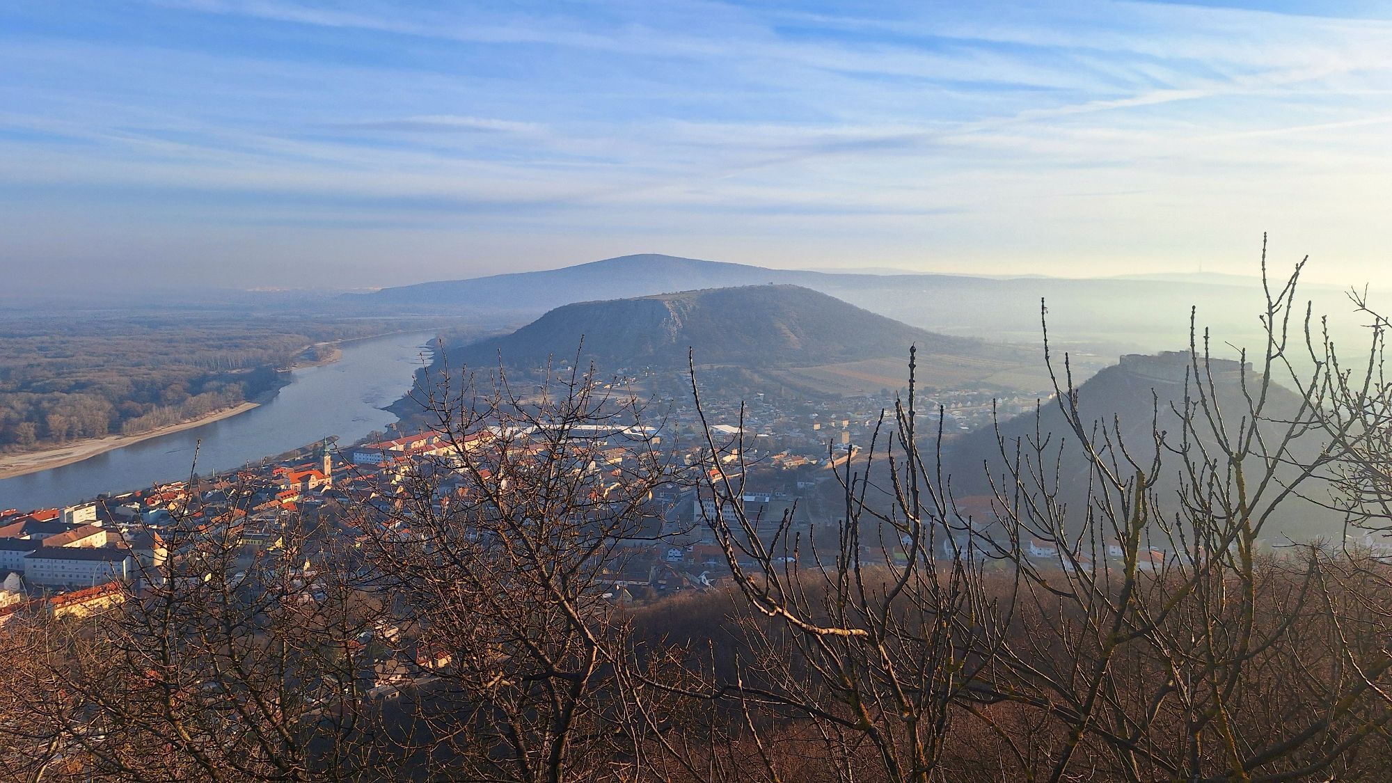
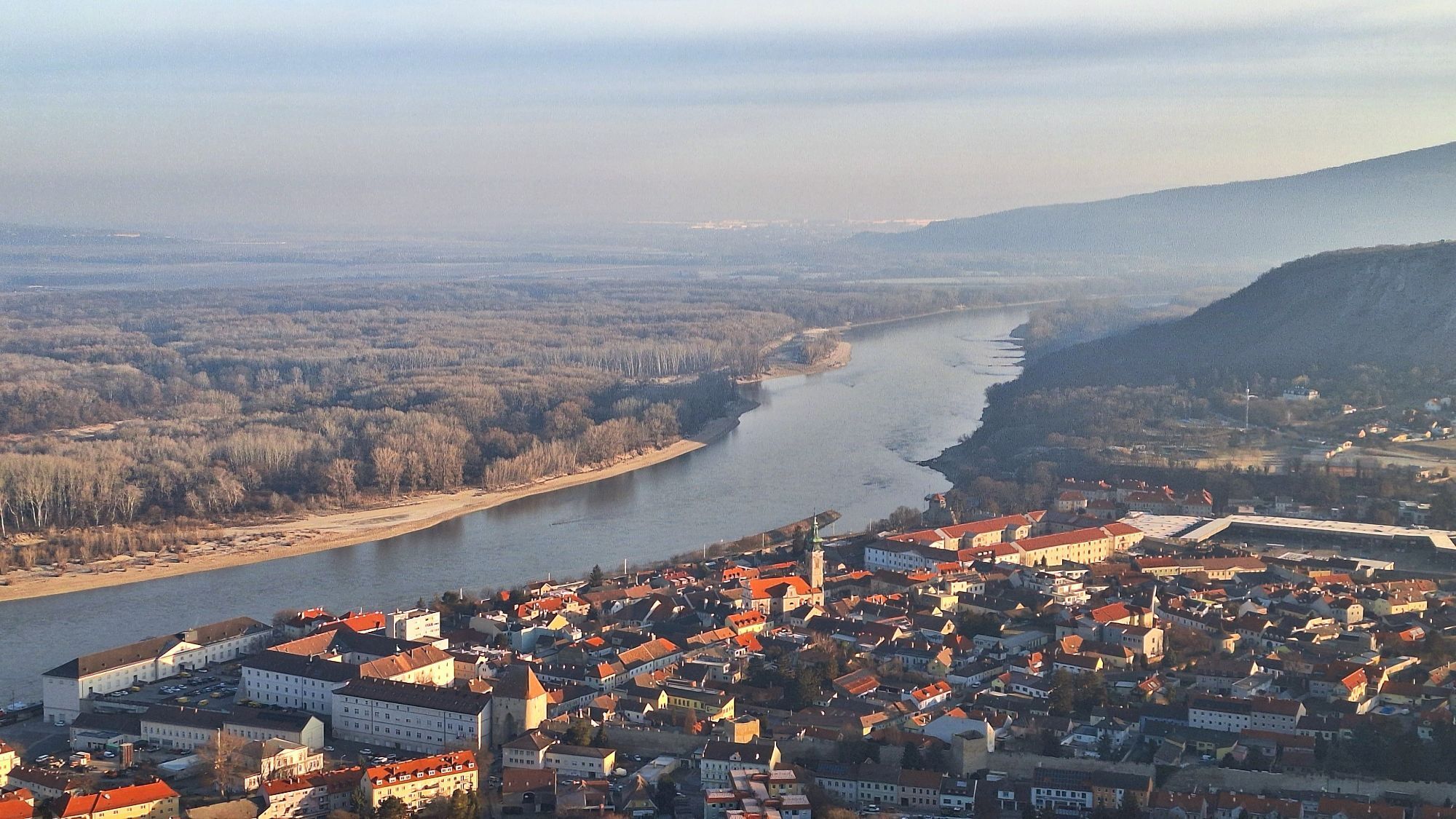

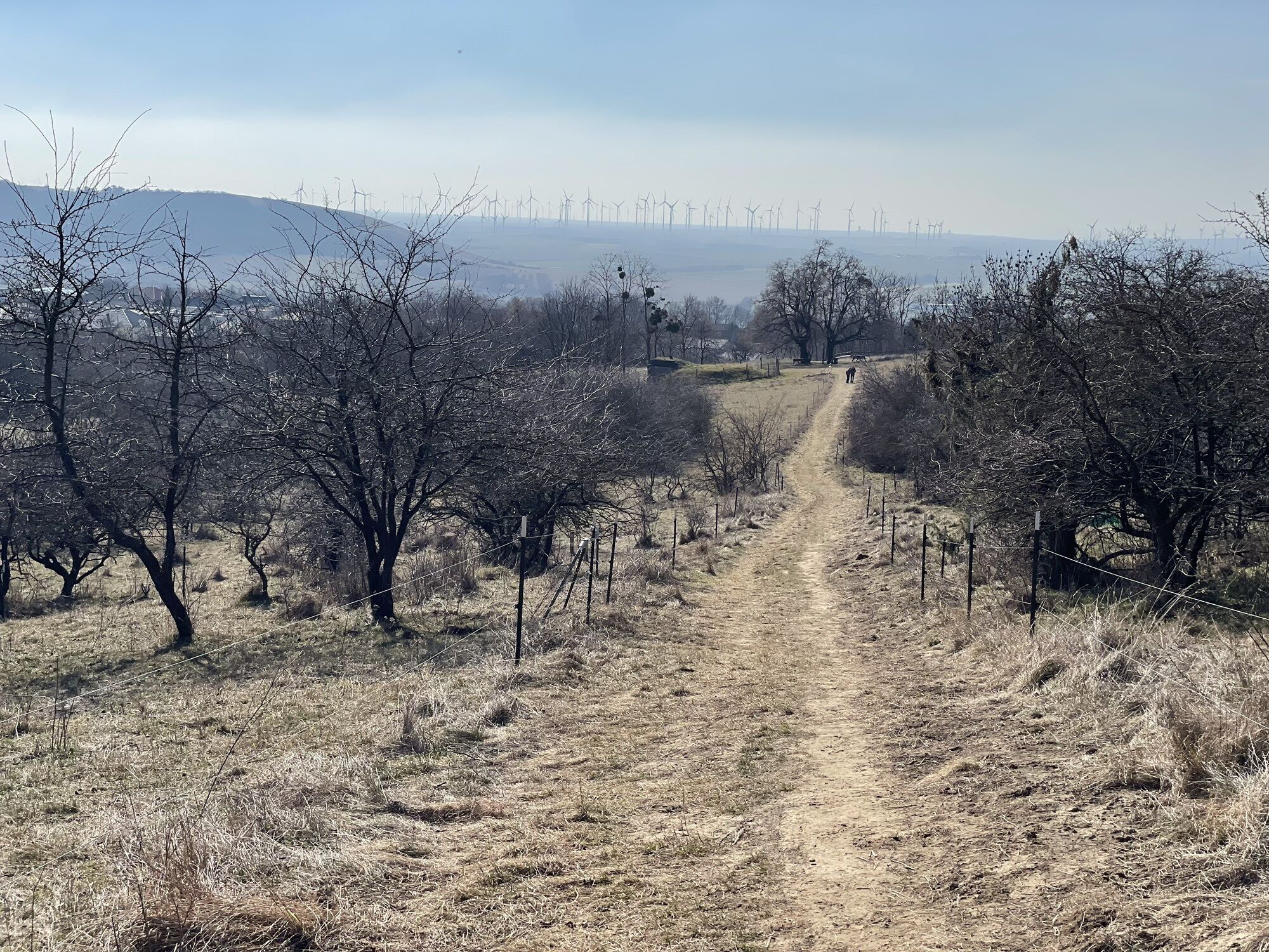
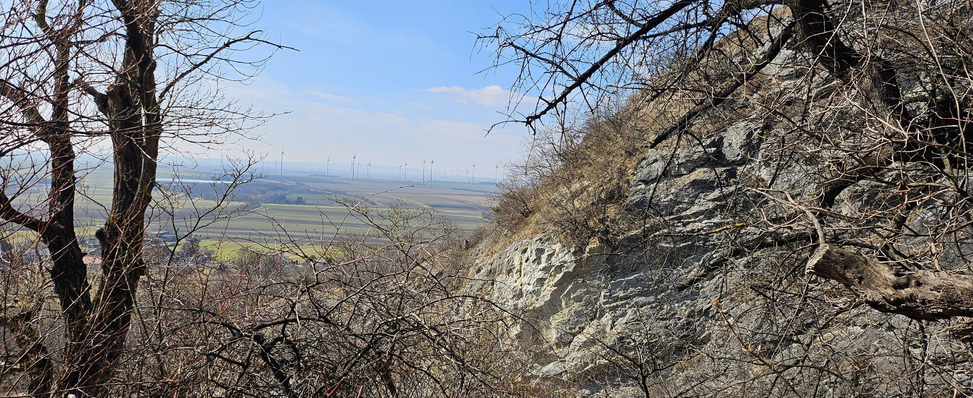
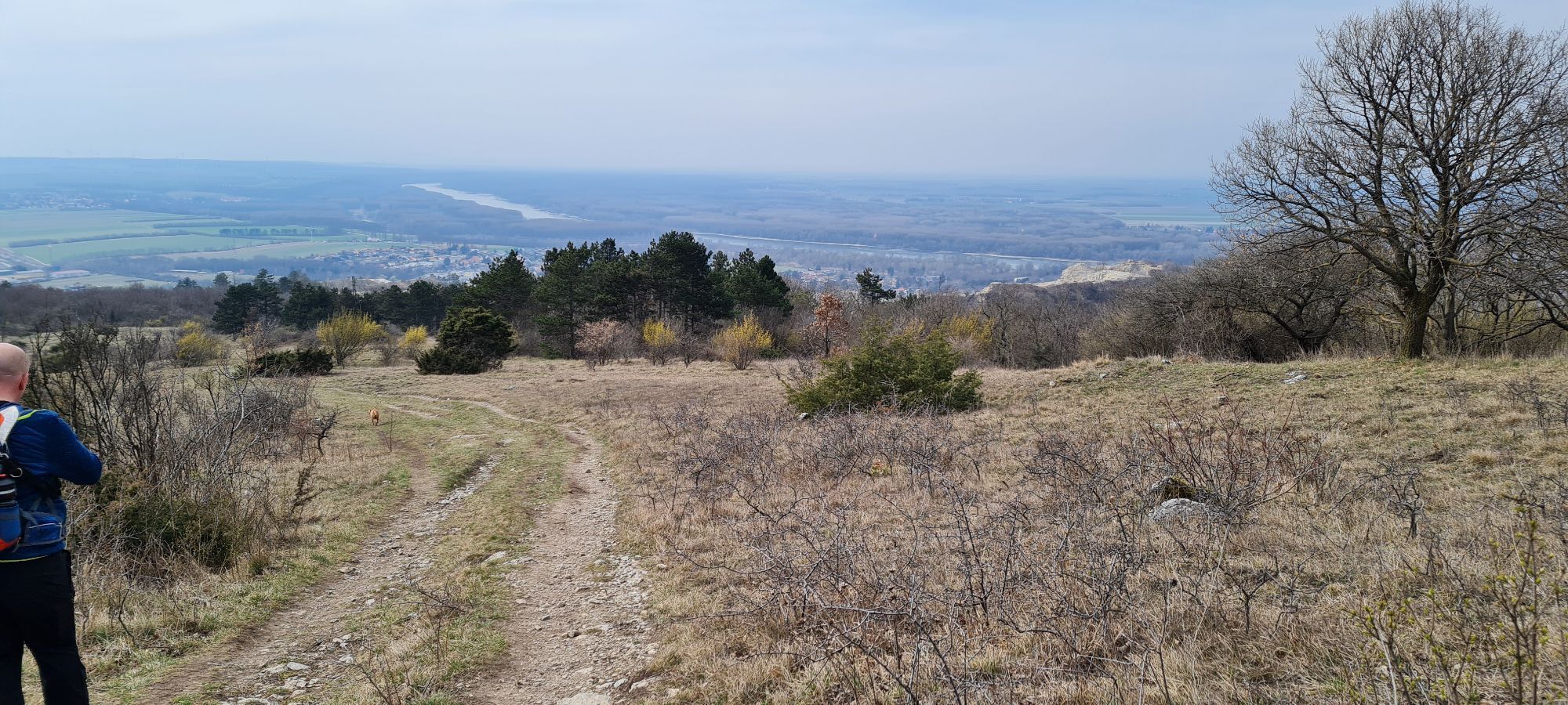
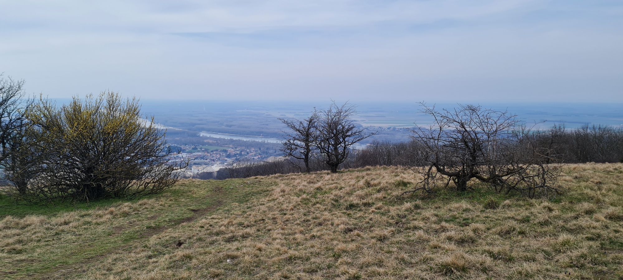
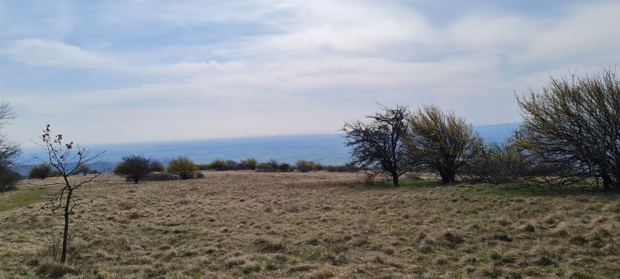
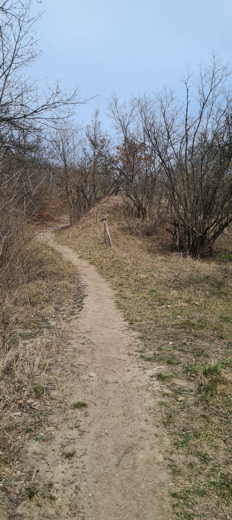
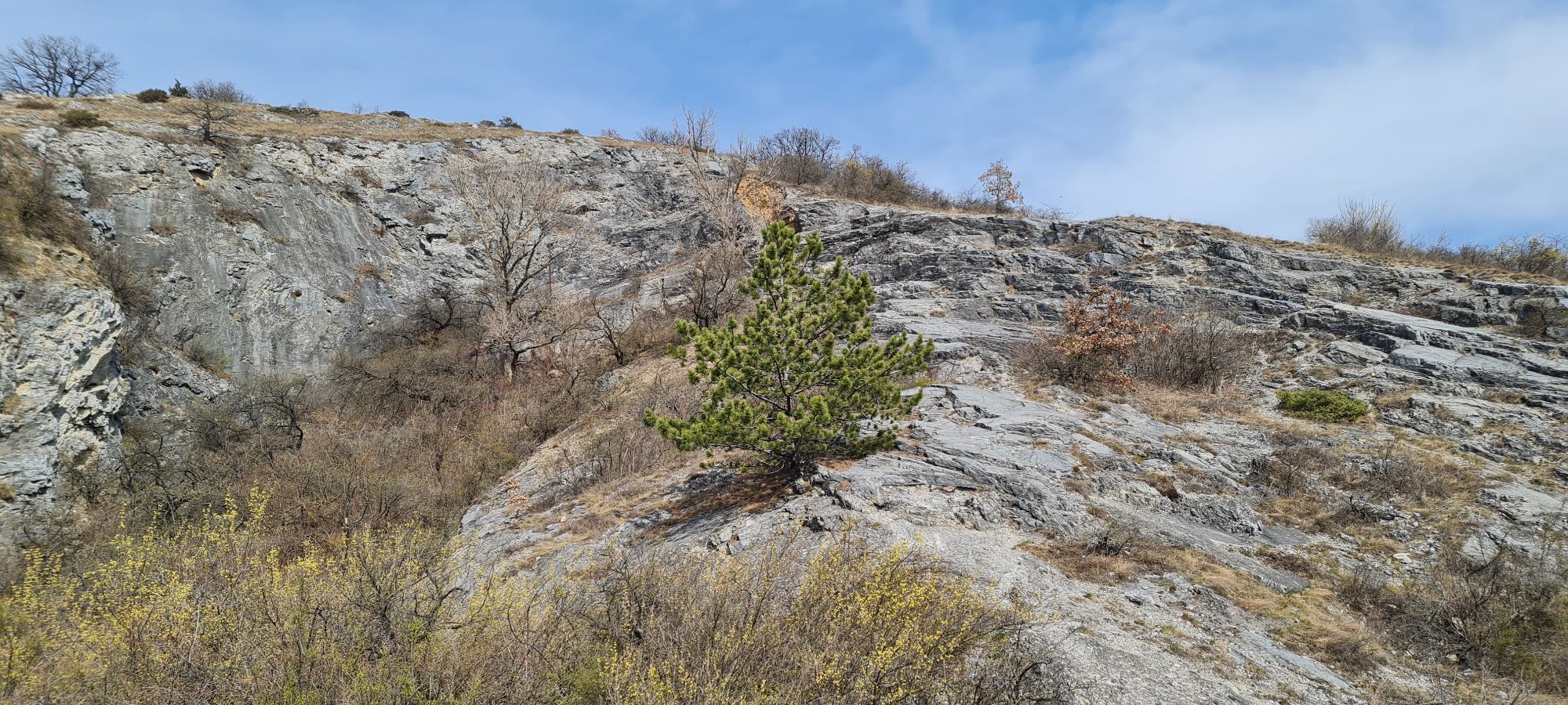
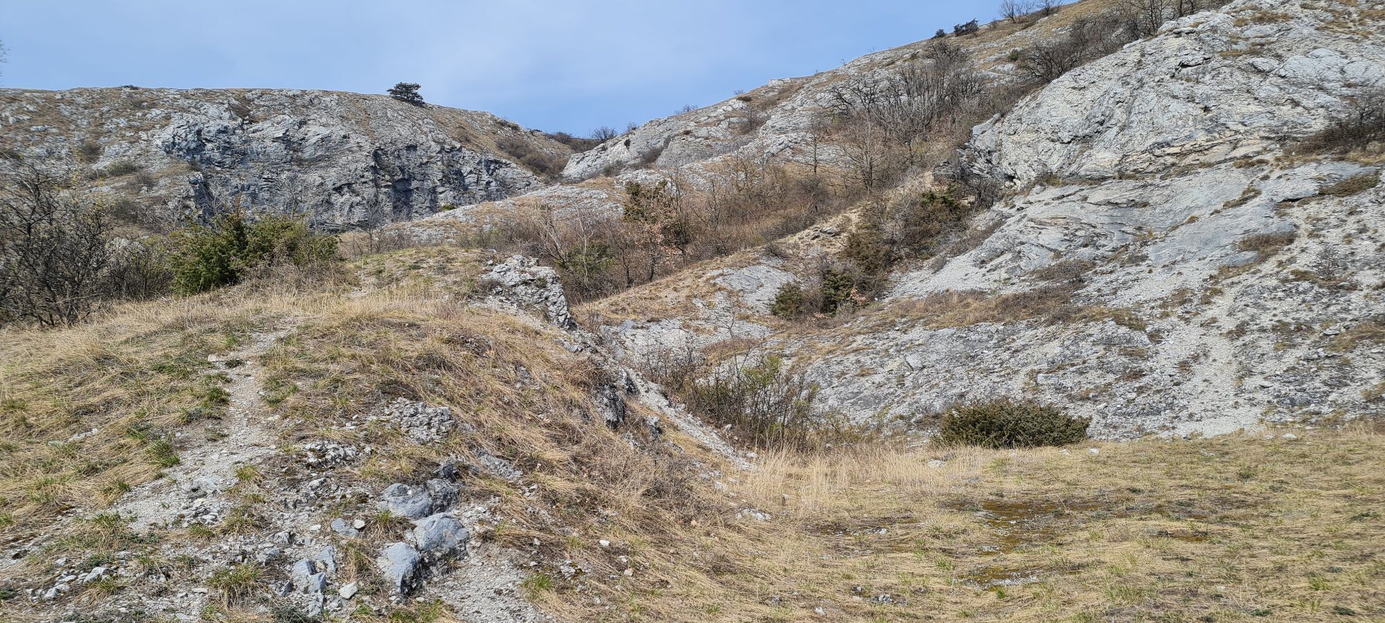
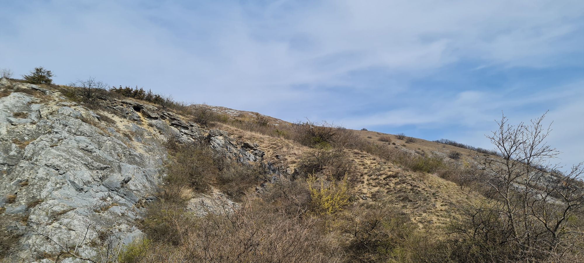

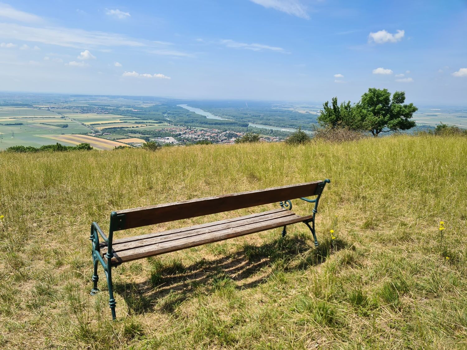
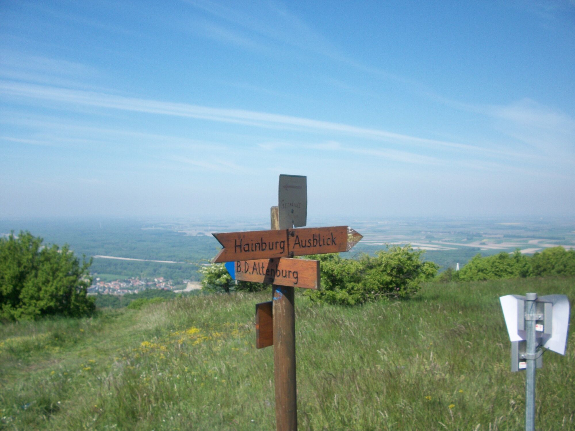
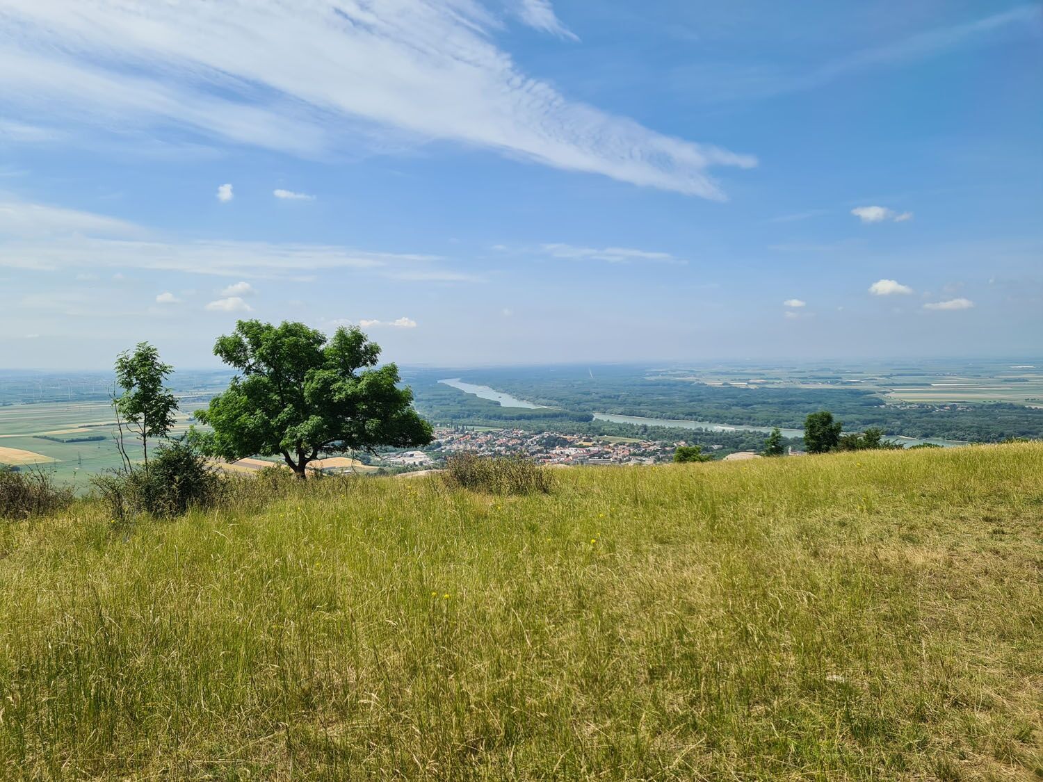

<p>The hike starts in Hainburg at the Kulturfabrik. Passing the Wiener Tor, the path leads towards Schlossberg, on which the castle complex sits. Before reaching the castle, turn right onto a forest trail up Hundsheimer Berg. Once at the top, a detour out of the forest rewards with a beautiful view of Hainburg and the Danube.</p><p>At the summit of Hundsheimer Berg, the fantastic view invites you to linger. After the break, there is an option to shorten the circular route and descend through the Hundsheimer gorge.</p><p>The longer route from the summit towards Hundsheim offers a nature educational trail with information about fauna and flora along the way. In front of the Güntherhöhle, an information board commemorates the discovery site of a woolly rhinoceros, known as the Hundsheimer rhinoceros in scientific history. The specimen can be admired at the Natural History Museum in Vienna.</p><p>The path continues through the Neue Siedlung and past the sports field. Following the path and signage, the route ascends again to just before the summit of Hundsheimer Berg, where we meet the path back to Hainburg.</p>
<p>sturdy footwear</p>
<p>Car: A4 East Motorway, Fischamend exit, B9 towards Hainburg</p>
<p>Hainburg an der Donau train station</p><p> Train: <br />From Vienna Mitte (S7) to Hainburg and back, ÖBB, Tel +43(0)5 17 17</p><p><a href="www.nextbike.at">www.nextbike... href="www.anachb.at">www.anachb.at&...
Hainburg an der Donau – train station, Kulturfabrik
Verantwortlicher für den Inhalt dieser Tour
Donau Niederösterreich - Tourismusbüro Carnuntum-Marchfeld
Letzte Aktualisierung: 03.10.2025
Activités le long du parcours
-

Hundsheim, Niederösterreich/Österreich
11.07.2026 – Randonnée -

Hundsheim, Niederösterreich/Österreich
14.06.2026 – Randonnée -

Hundsheim, Niederösterreich/Österreich
05.04.2026 – Randonnée -

Hundsheim, Niederösterreich/Österreich
28.02.2026 – Offroad -

Hundsheim, Niederösterreich/Österreich
04.01.2026 – Randonnée
Parcours populaires à proximité
-
4,7
Eckartsauer Donaurunde
facileRandonnée 8,96 km -
3,6
Braunsberg
moyenRandonnée 6,38 km -
4,8
Hainburg - Hundsheimer Berg - Schlossberg - Braunsberg
facileRandonnée 13 km -
4,2
Stopfenreuther Au
facileRandonnée 5,14 km -
4,9
Hainburg - Arche-Noah-Halbhöhle - Devín - Braunsberg
moyenRandonnée 10,9 km -
3,8
Hainburg Hundsheimer Berg Schlossberg Braunsberg 20190427
facileRandonnée 9,60 km -
4,7
Hainburg an der Donau - Arche-Noah-Halbhöhle - Braunsberg
facileRandonnée 4,42 km -
5,0
Karpaten: Hainburg - Braunsberg
facileRandonnée 5,24 km -
5,0
Hainburg, Rund um den Braunsberg
facileRandonnée 6,08 km -
5,0
Hundsheimer Berg - Karpaten
facileRandonnée 4,75 km
Randonnée et suivi


Ne manquez pas les offres et l'inspiration pour vos prochaines vacances
Votre adresse électronique a été ajouté à la liste de diffusion.





